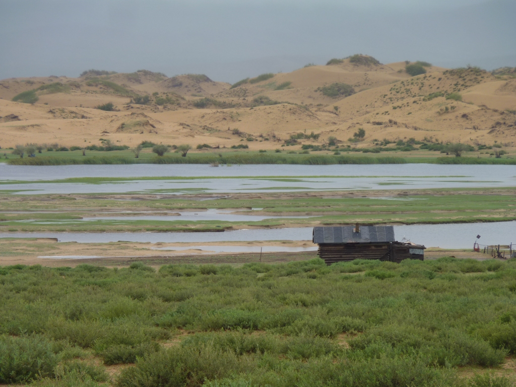
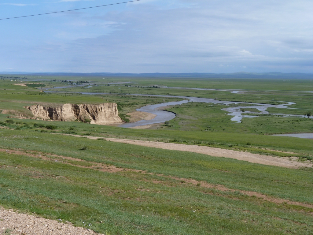
On the way in to Khogno Khan Uul we drove along the far side of that water then across it.
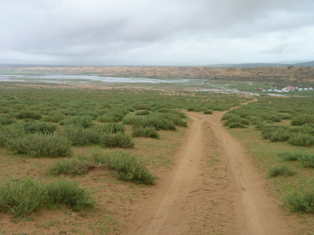
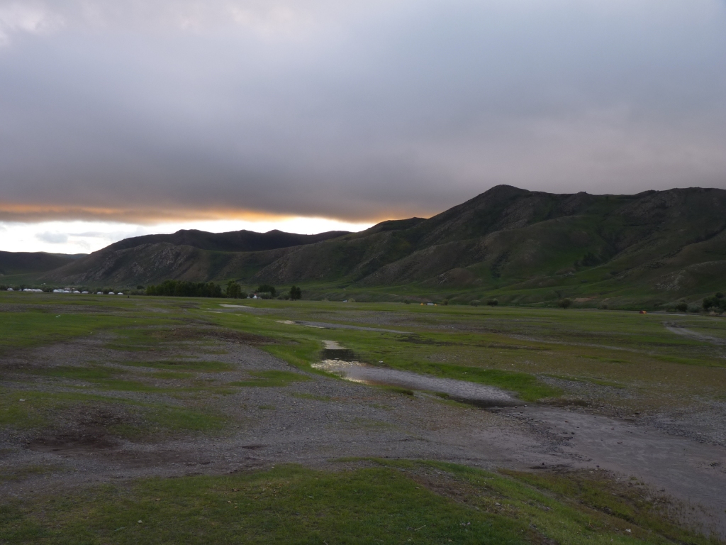
After the rain we decided left at this junction was a better option.
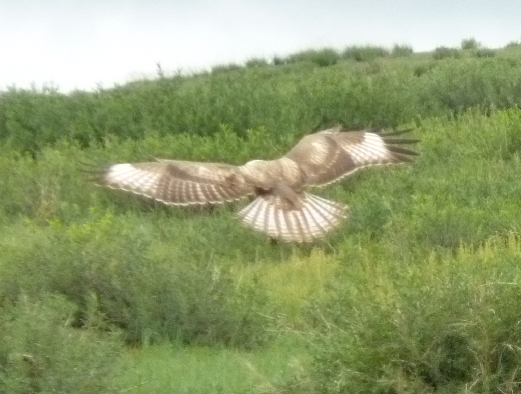
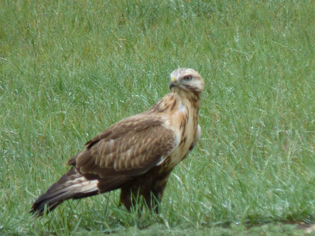
Just managed to capture this on camera.
The locals capture them properly and use them for hunting.
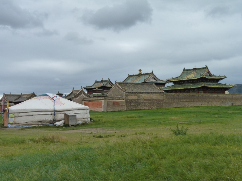
Founded 1586.
It contained between 60 and 100 temples, 300 gers, and 1000 monks within its walls.
The Stalinist purge of 1937 destroyed all but 3 temples and shipped the monks off to Siberia.
This temple, inside the monastery is the Zuu of Buddha.
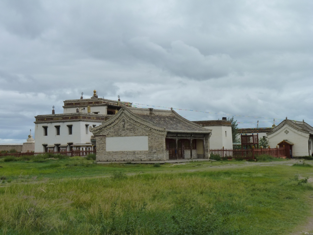
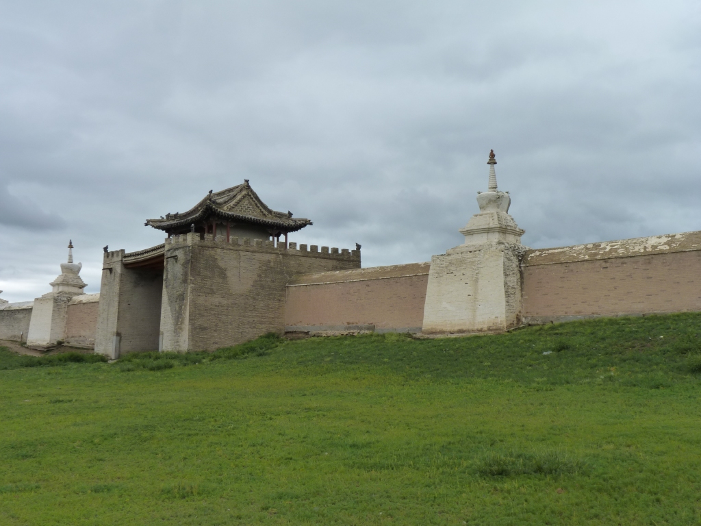
A Tibetan style temple.
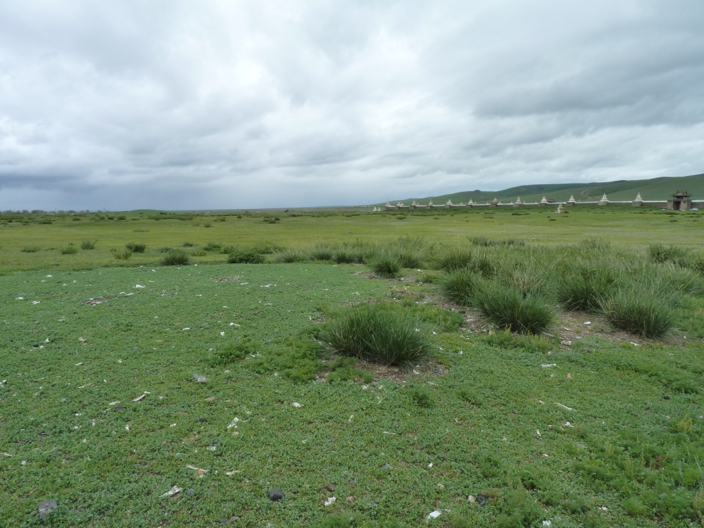
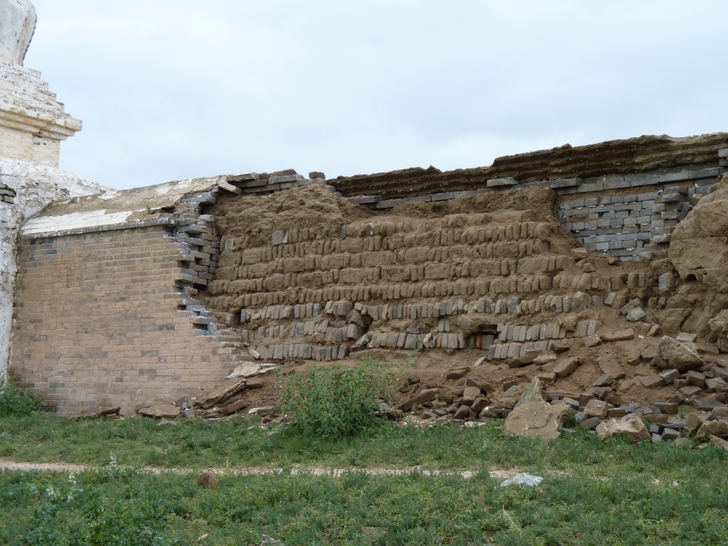
All that remains visible of Chinggis Khan's capital of Karakorum.
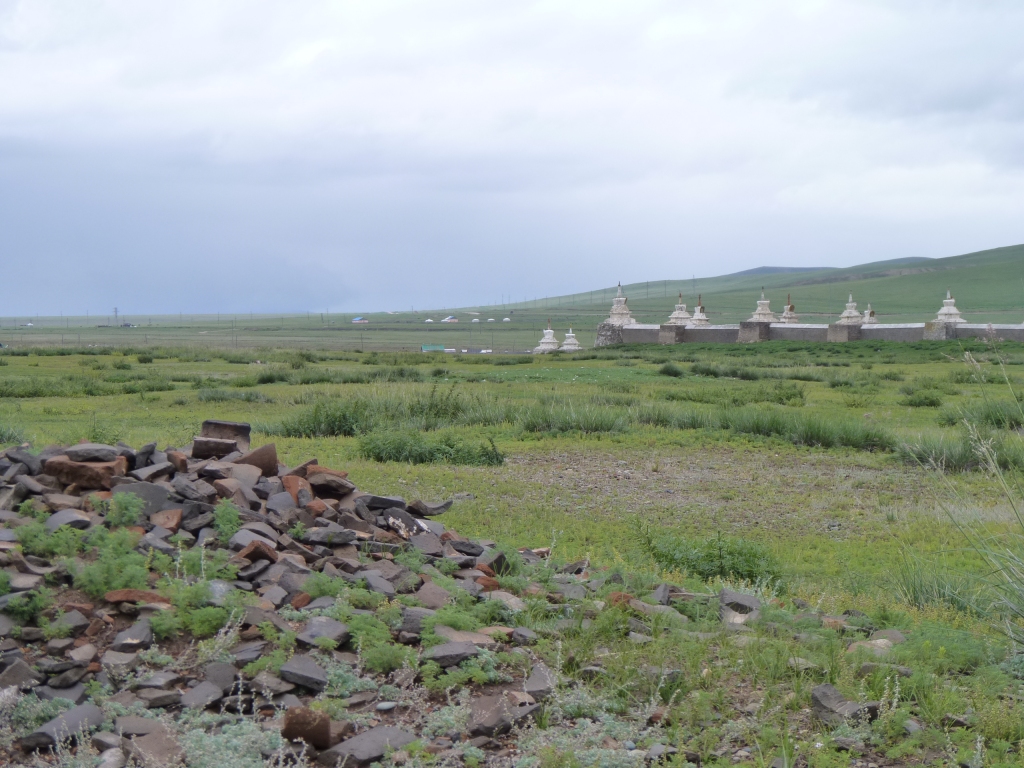
There's plenty of broken bricks laying around. Erdene Zuu Khiid was built with bricks from the old city.
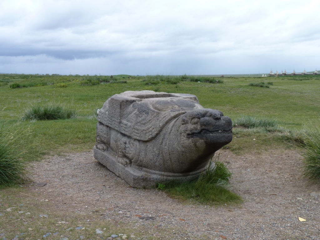
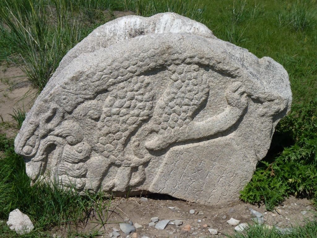
There were originally stone tablets upright on their backs.
Just like we've seen through China.
There are 108 stupas on the wall.
Karakoram was (of course) situated at a crossroads of the Silk Road.
The valleys of Mongolia, including the Orkhon Valley, form natural highways.
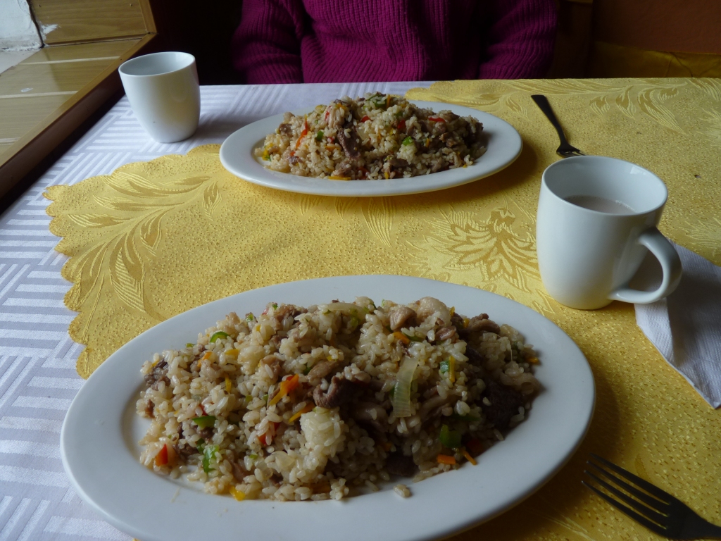
This was described as "meat and rice". Mutton, rice, a bit of onion and peppers.
In the cup is milk tea. Very salty.
The rice is larger grained than China and brown rather than shiny white.
The Orkhon River flows from South to North, joins the Tuul river flowing from Ulaan Bataar, and heads towards Lake Baikal, in Russia.
The Orkhon Valley is rather special. We are confused by the religions but Tengriism (origins in Shamanism, animalism and a few other isms) holds the earth sacred and this area provided power to the rulers.
The valley has been at the center of several empires.
Another religion, one relevant to the Uigher Empire, is Manichaeism.
It seems Kublai Khan, grandson of Chinggis Khan, had a falling out with his brothers. Possibly including civil war. We think he picked up his bat and ball and made his way South to found the Yuan Dynasty in China and make his capital Khanbalik, which became Beijing.
We have previously been at a loss as to why the capital was moved.
Some of the pieces of a very large jigsaw are slowly falling into place for us, though we feel a long way short of having all the edge pieces let alone the middle.
We shall test our navigation skills tomorrow. Looking for Khar Balgas (Ordu-Baliq). The ruined capital of the Uigher Empire.
In the meantime we are enjoying seeing the sun which seemed to have been a bit hidden from us for the last few months.
We had more visitors. Tunga of Tunga's Ger Camp in Khorgo-Terkhin Tsagan Nuur National Park. And family.
Learned lots as Tunga is the local English teacher.
We also now have some airag (fermented mare's milk). Alcohol content about 3%. Described as Mongolia's beer.
It tastes to us a bit like yoghurt with a tang. Very pleasant and easier on the palate than milk tea.
We'd visited the museum in Karkoram, posted some postcards there, and asked for directions to Khar Balgas.
The museum had some excellent displays from stone age through to the Mongol Empire.
Also a good collection of iron wheel hub inserts. A wide variety of sizes and designs unearthed in Karakorum.
In the past we've briefly pondered the vast difference between how Western educated people view the landscape with topographic maps quite differently to say Aborigines in Aus. It makes asking for directions interesting.
There is also a great difference between Ali's use of a map "to know where I am" and my approach of "heading in the general direction". Of course this leads to some "interesting discussions" while on the move.
Its also why the gps is of limited use, its based on a model of navigation different to the one in my mind.
Mongolians seem to draw directions with straight lines and describe some features along the way. There is also a sense of distance, but we aren't sure how well it translates into km. They do provide numbers of km but they seem to be sort of relative rather than absolute..
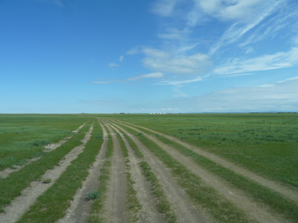
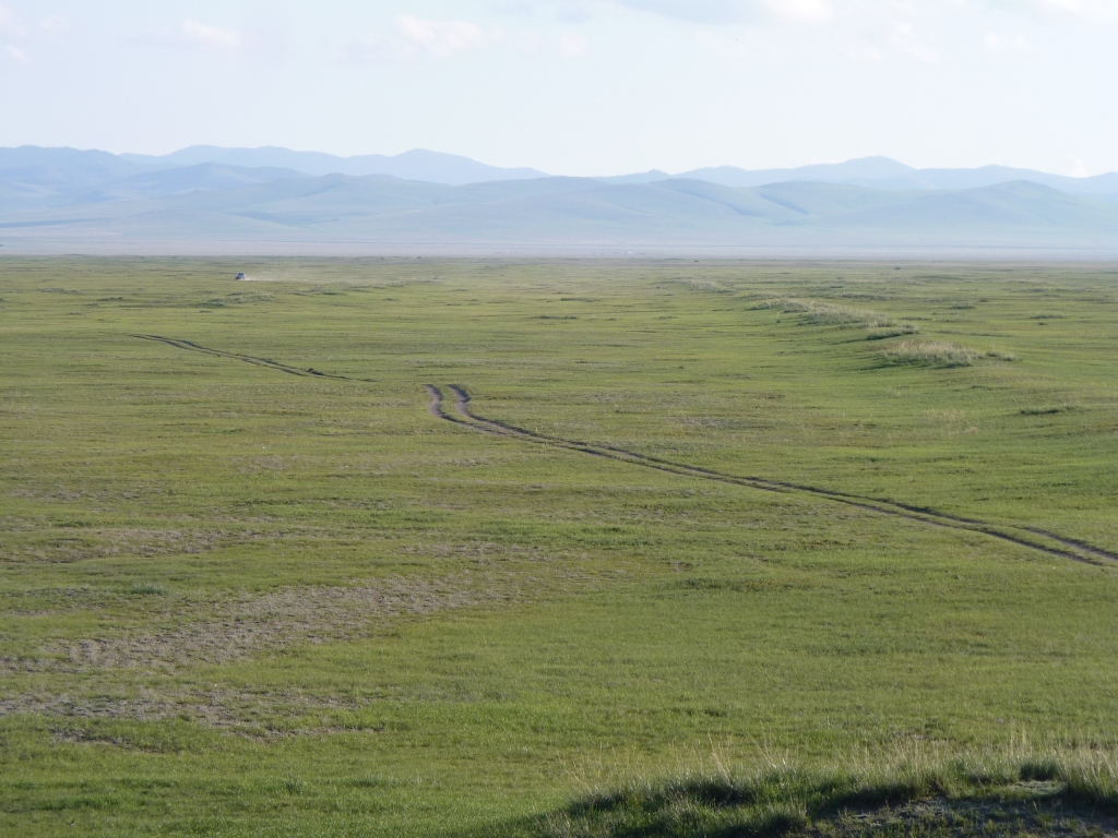
We set off across the floor of the river valley.
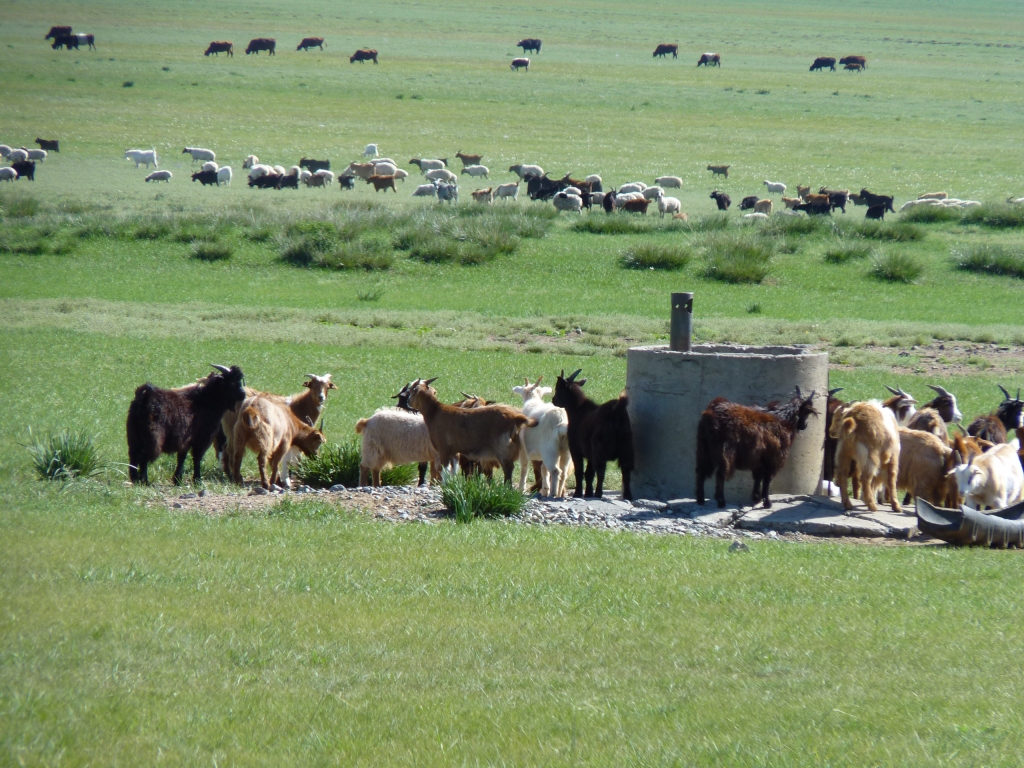
We'd wondered what the herds did for water. We passed a couple of wells.
Which then got Ali to thinking how the nomads keep the herds apart and what they do when they get mixed up.
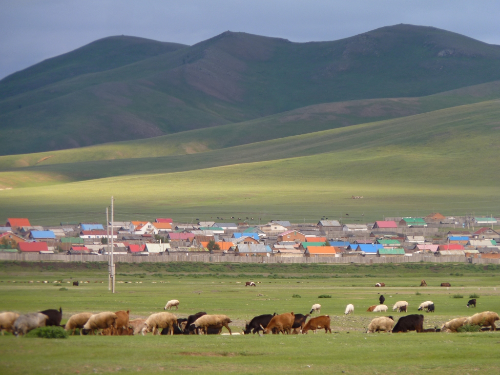
We've also noticed that the herds are kept on the move. At quite a fast walking pace. Presumably there are "rules of the sea for passing herds".
Its only 20 years since the collective state ownership of herds was abolished. What an immense social change. To and from communism in less than 100 years.
Just like the directions said!
But we needed the binoculars - we aren't quite confident with navigating yet.
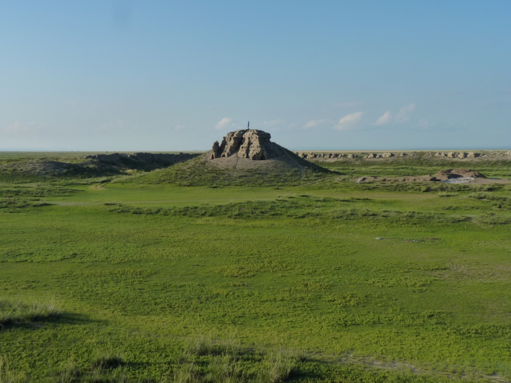
Capital of the Uigher Empire.
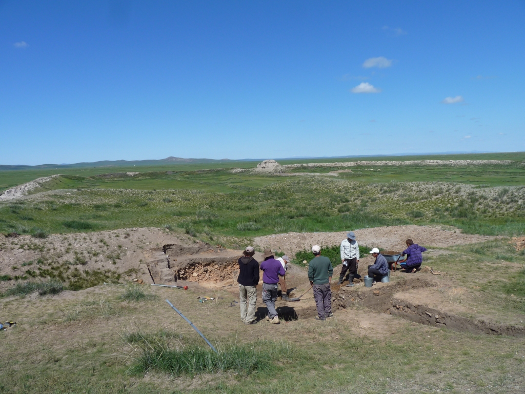
A mixed German - Mongolian team, digging in three separate places.
Also an Aussie doing a PhD on Uigher history.
They are digging inside the most prominent walled part of the old city. In one corner is a highish, squarish, mound. Possibly the ruler's palace. There's apparently a description from a visitor at the time of a ruler's tent atop the mound. The stupa, the high point we'd seen from afar, is in the opposite corner.
Once again we see signs of the incredible movement of culture across vast distances, in all directions, transported and transformed by trade (Silk Road etc.) and Empire building (war and peace).
There is some suggestion that as the Emperor Qin unified China, and connected the previously disconnected stretches of great wall, that the Nomads needed to organise themselves in response. Thus there was a willingness, that hadn't previously been present, for tribes to cooperate and form their own empires..
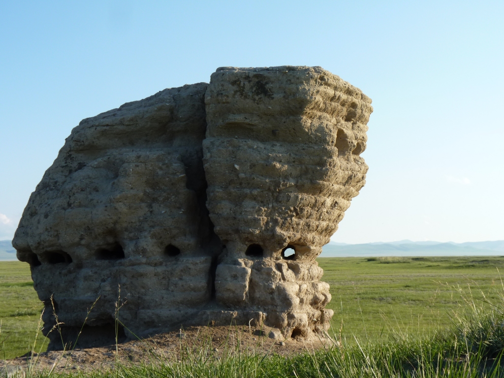
The stone is granite.
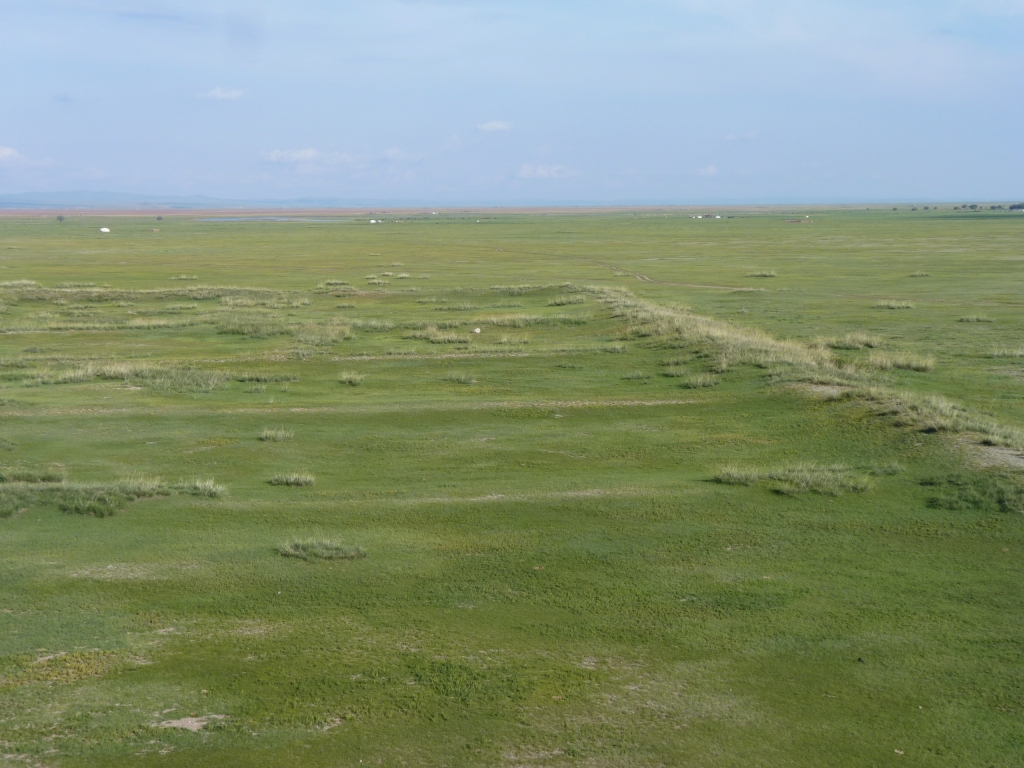
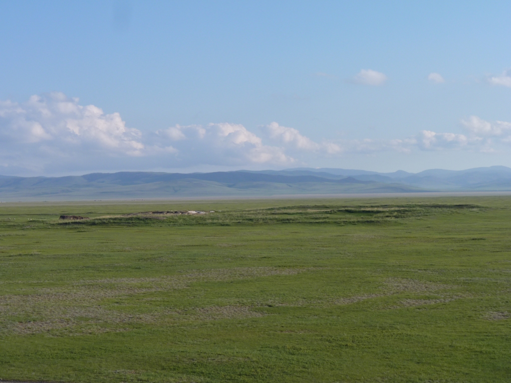
According to our Archeologists the whole site is about 32 sq km - we've seen estimates between 25 and 100 sq km.
Our own estimate is "this is big".
The Archeologists are "working on it".
We have the name of our Australian Geologist. There are so many interesting things, in this relatively short trip, to read up on at a later date.
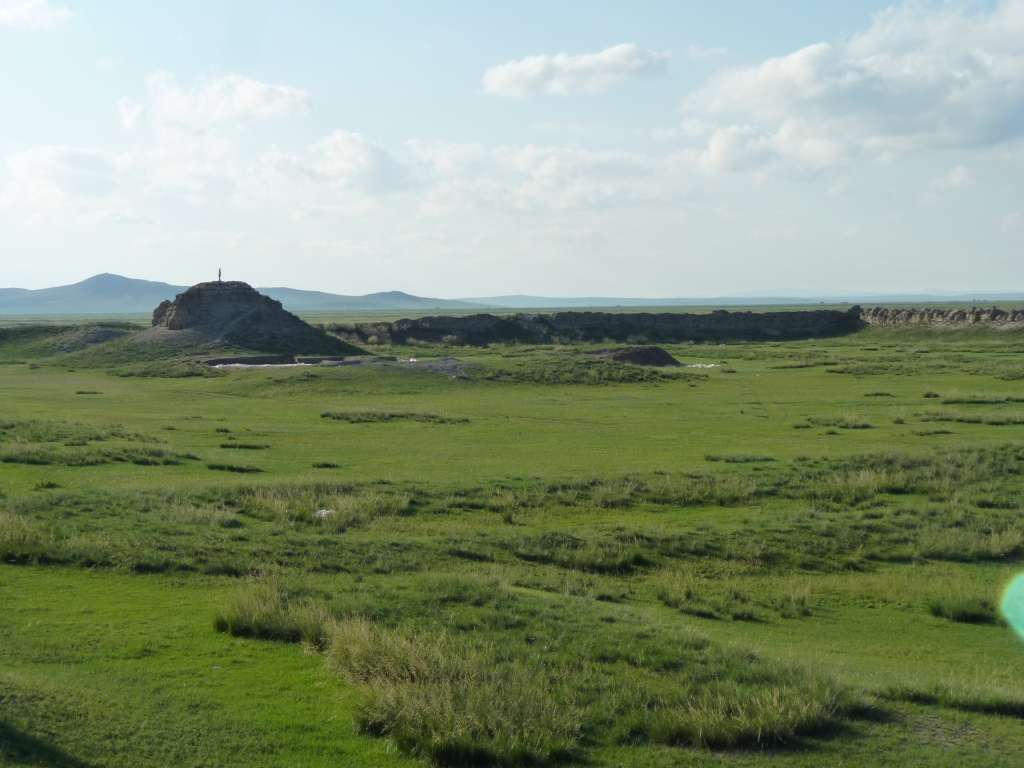
The stupa and walls are easy to see.
Interesting that the Uighur Empire only lasted 100 years to the 9th century.
That was before the introduction of Buddhism to Mongolia. The Archeologists haven't yet figured out how the stupa came to be there. Or why.
They seemed to be comfortable that it is a stupa.
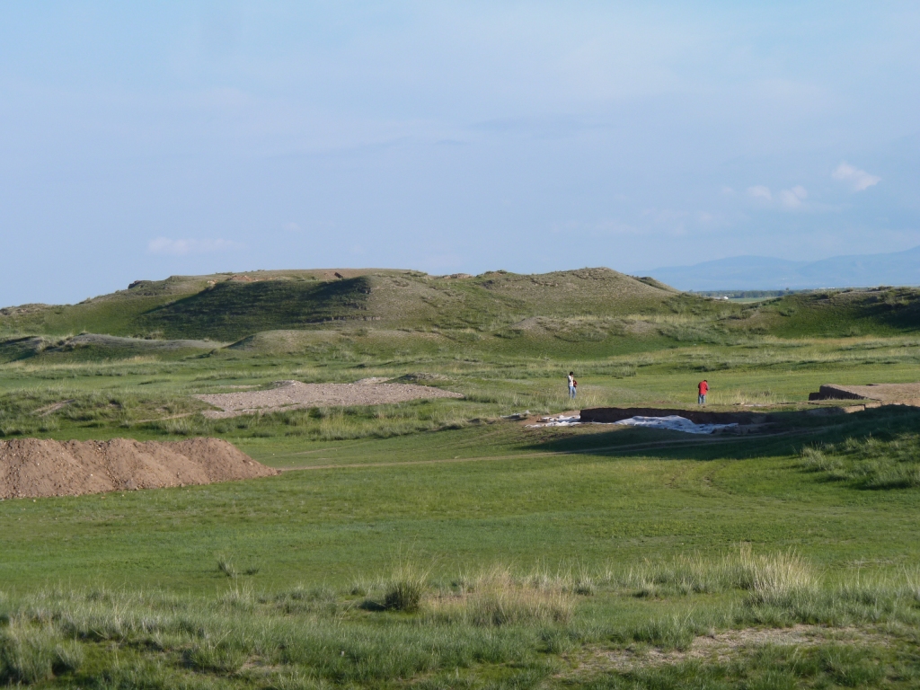
The people in the middle are Chinese visitors from Inner Mongolia.
We also met Klaus, a retired German Geologist, visiting Mongolia with driver and guide. Ali mentioned our lack of paper maps for Russia (we have a digital map). He was somewhat puzzled as to how we could contemplate driving through Russia without a paper map and lent us his - happens to be same as digital map but much much easier to spread out on a table.
Klaus realised after he had offered them that he had drawn his route on them. We have promised to return them when we reach Europe.
I am not sure what we have done to deserve such kindnesses and trust.
Imagine buildings either side and full of people.
We arrived from the East but will leave this way.
The little bit of dust in the distance is the Chinese party leaving.
The road from Karkoran to Tsetserleg, our next stop, runs along the edge of the valley, where the line of hills is.
The Archeologists are excavating this site, plus the stupa and palace.
They really had so much to excavate it was difficult to choose.
There was much evidence of roof tiles and fired bricks in the excavations.
Also of under floor heating and plumbing.
We aren't too sure why but sites like this capture our imagination. We can't help wondering what it was like when full of people.

On the way this bird posed for us, several times.
The edge of the line of trees is the direction we arrived from.
This looked odd to us, until we realised the walled bit remaining was but a very small part of a very large site.
The holes are left by wood that has rotted out. The wood was used to form the stupa and keep it in one piece while earth was rammed into the center.