We parked near the main bus station in the new town. Spelling of town names seems to be a bit hit and miss in both cyrillic and roman. Our gps had an apostrephe in this town name but no way of entering an apostrophe on the touch screen keypad.
Nevertheless we managed to tell the gps where we wanted to go and arrived there.
The town was big enough to support a Bunnings imitator with a plant nursery next door. We couldn't find a supermarket.
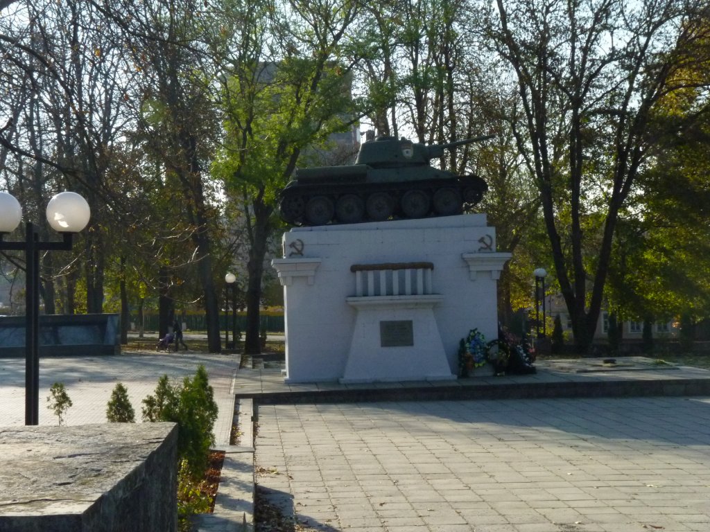
But we did find the WWII war memorial and a tank - with a rotating turret this time.
Our previous glimpse of a tank memorial in Mongolia was of a motorised gun without a rotating turret, which could be a bigger gun than the engineering of a rotating turret could accommodate.
And I'll (cynically) bet that some military engineer somewhere has engaged in how to put bigger guns in tanks!.
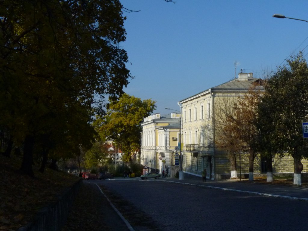
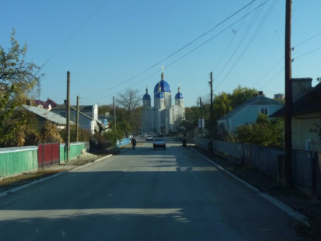
This is the road through the new town en route to the old.
They come in all shapes and sizes.
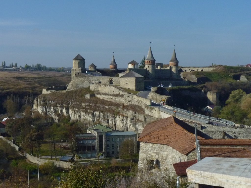
We walked from the new town across the new bridge and about a km across the island to overlook the Turkish Bridge and the fortress.
The Turkish Bridge (did I mention that apart from all the other tribes and empires the Ottomans also came this way) is across the small channel that the river would flow through if it didn't flow all the way round the town.
It was built well before the Turks arrived but they modified it a bit.
According to the Magdeburg rules of the time it was built with a different quarter for each ethnic group. Poles, Armenians, Ukraines, and Jews.
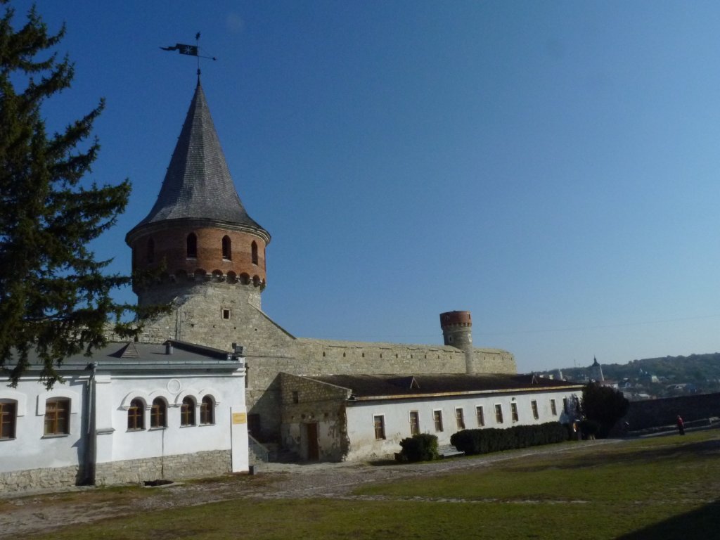
Originally settled by Kiyvan Rus in the 11th century. This part of Ukraine was ruled by Lithuanian and Polish up to the 18th century. A brief interlude for Kamianets when it was conquered and ruled by the Ottomans for about 25 years from 1672.
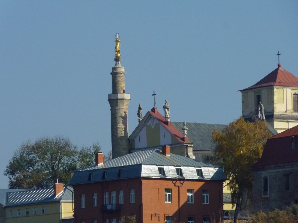
The cathedral of Saints Peter and Paul was built in 1580 by the catholic Poles. Converted to a mosque by the Turks and a minaret built. In 1699 it was handed back to the Poles by a treaty which stipulated that the minaret be preserved. The Poles placed a statue of the Madonna on top.
I like it!
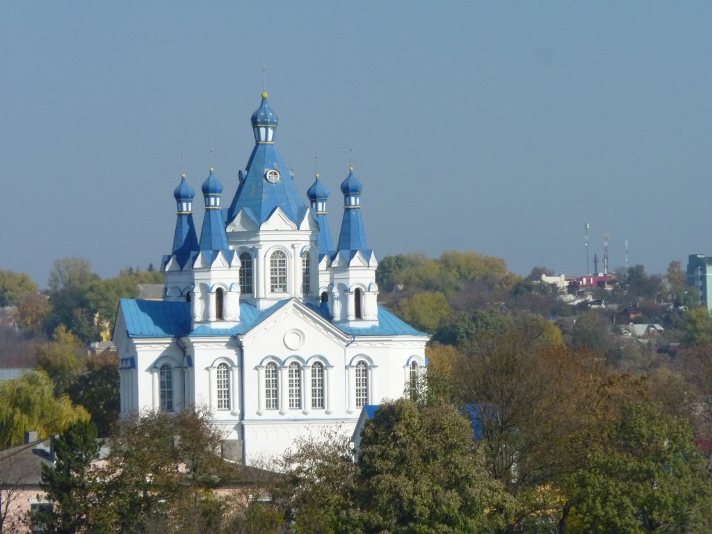
Strange how different colours have meaning in different cultures.
We've found blue quite common in this part of Ukraine.
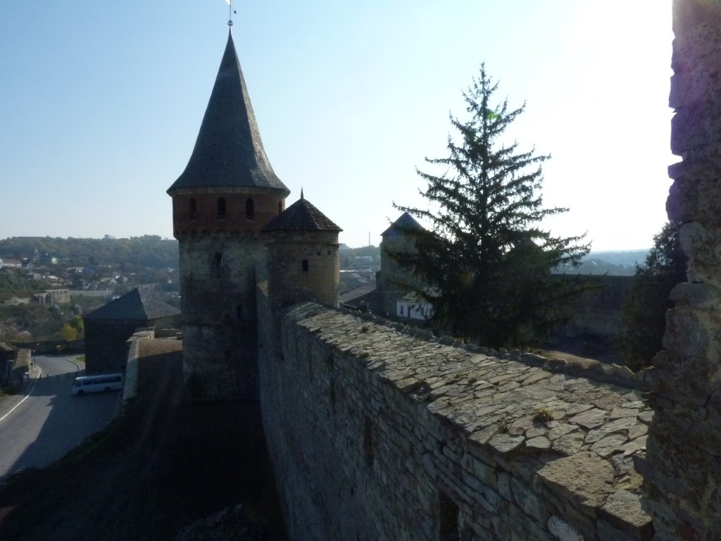
Apparently the greatest influence was that of Italian military engineers - which given our normal association of Italians with artistic creativity sounds like some sort of oxymoron.
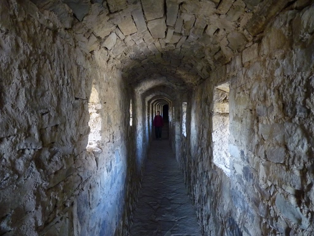
This is part of the enclosed ramparts.
It mainly holds a collection of WWII memories.
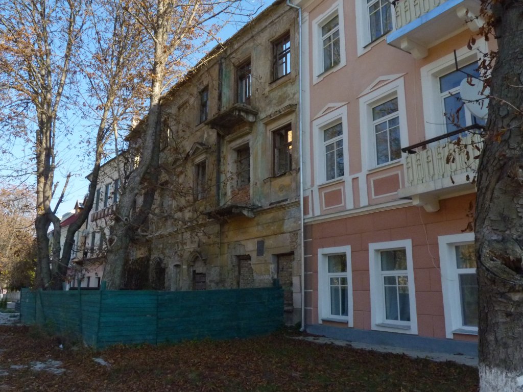
The old town of Kamianets was maintained as a ghetto by the Germans. Hard to describe a population caged, starved, killed or transported.
The characterics that made the town almost impregnable also made an ideal ghetto.
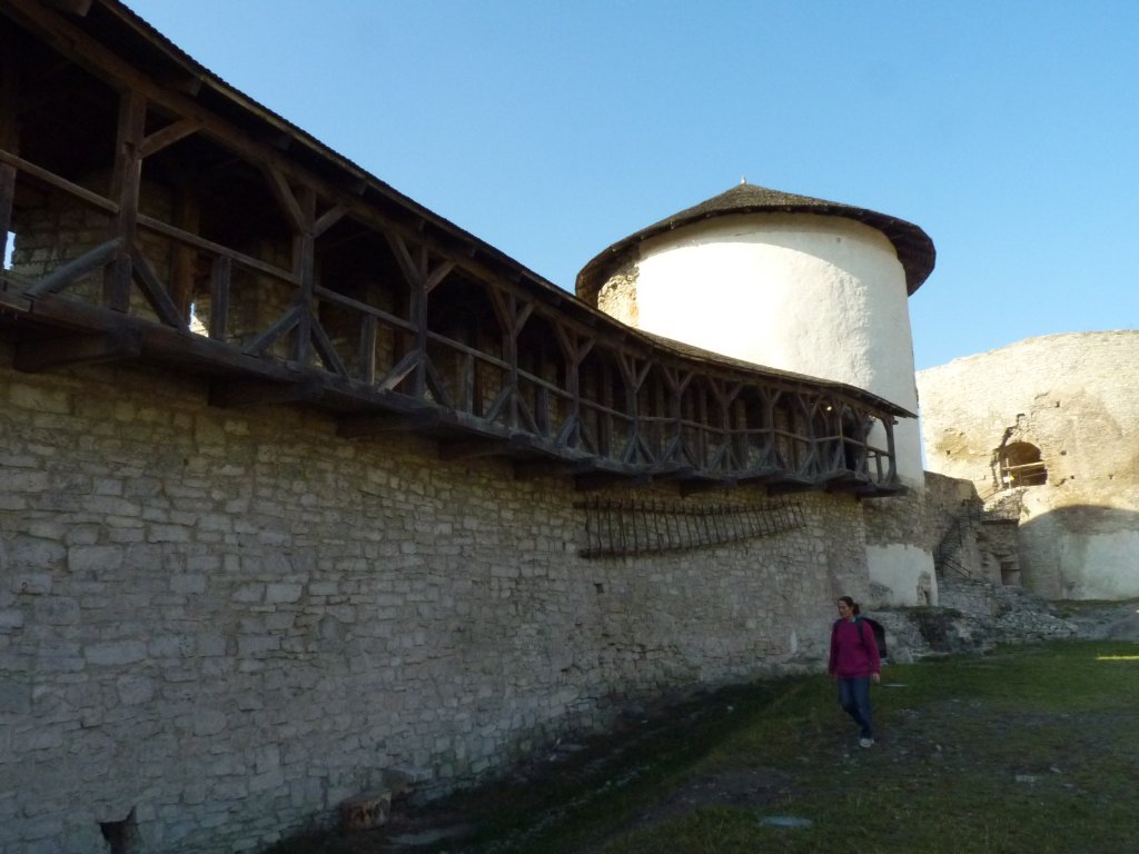
We last saw a wall like this in Rotenburg (on the German Romantische Strasse) with the kids in 1997.
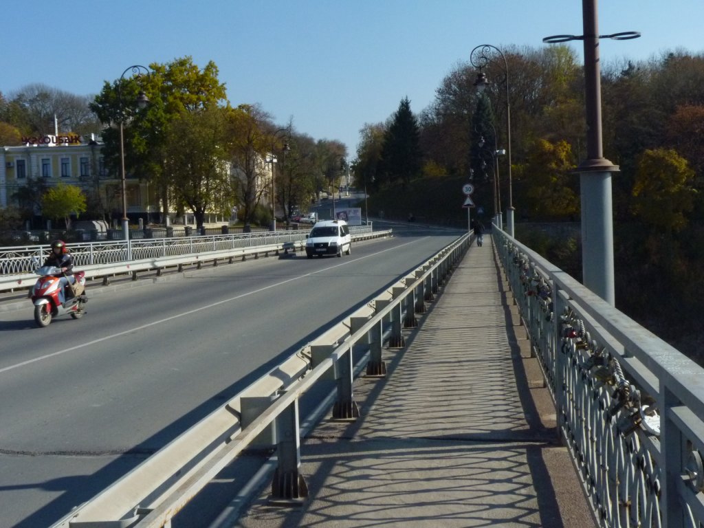
On the railings to the right are padlocks. Reminiscient of those we saw in China but this time engraved. It seems mostly with promises of true love.
We of course knew better as there were rather solid looking bollards preventing any traffic at all from crossing during the day.
We sort of followed our nose north and west for a bit until our gps started making sensible suggestions instead of that incessant "turn round" which they resort to in moments of stress.
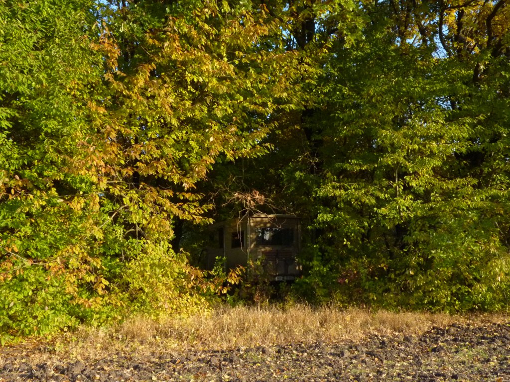
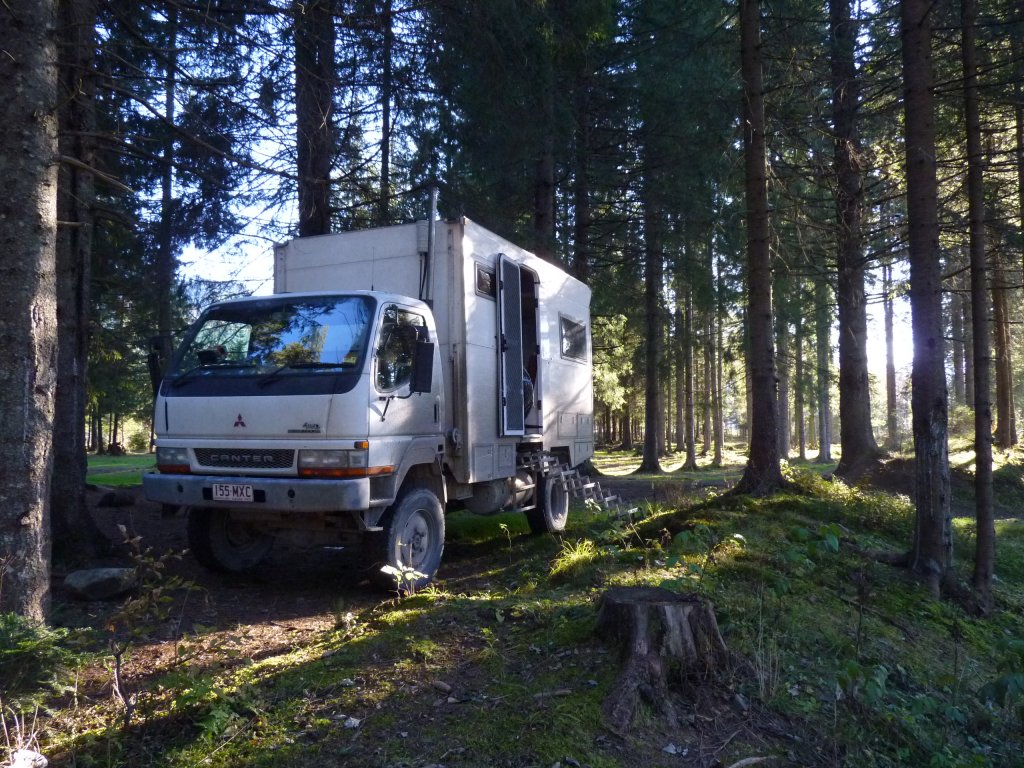
Not intentionally but we further confounded our electronic world by hiding in the trees again. Apparently the satellite tracker had a bit more difficulty than usual knowing where we were.
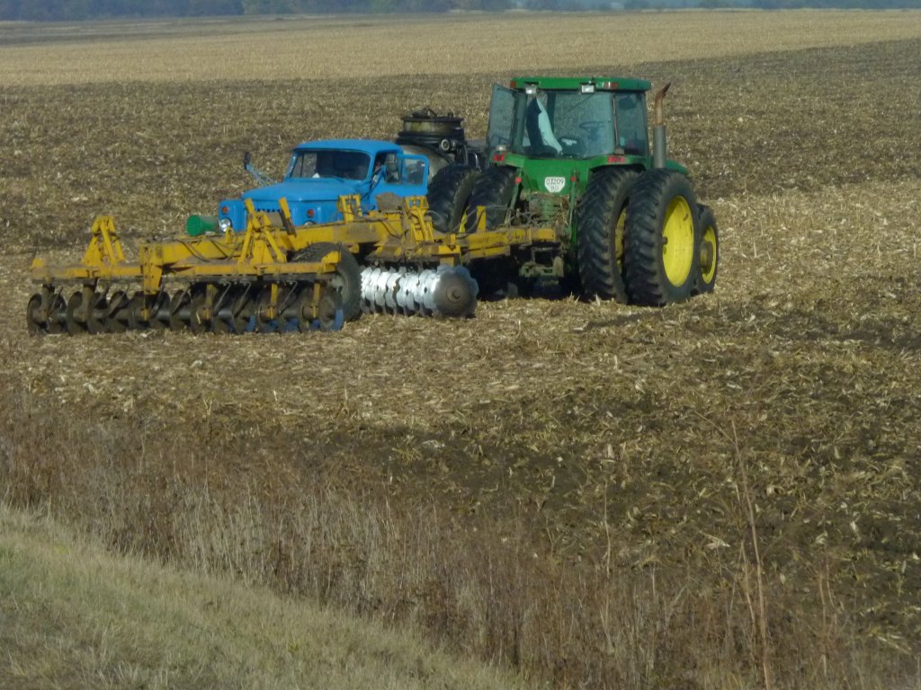
The field had what we think is winter wheat just sprouting.
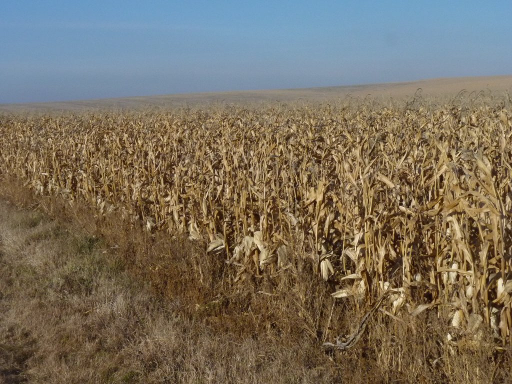
Kamianets - Podilsky was in rolling hills but we haven't yet reached the mountains.
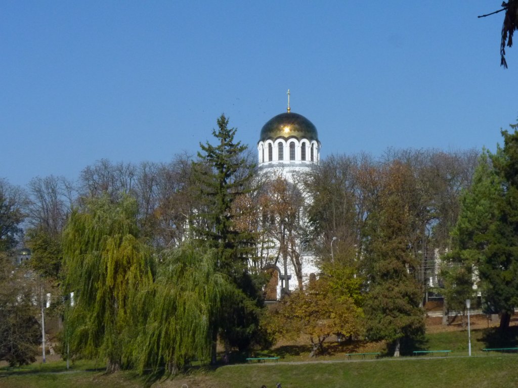
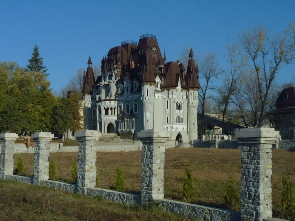
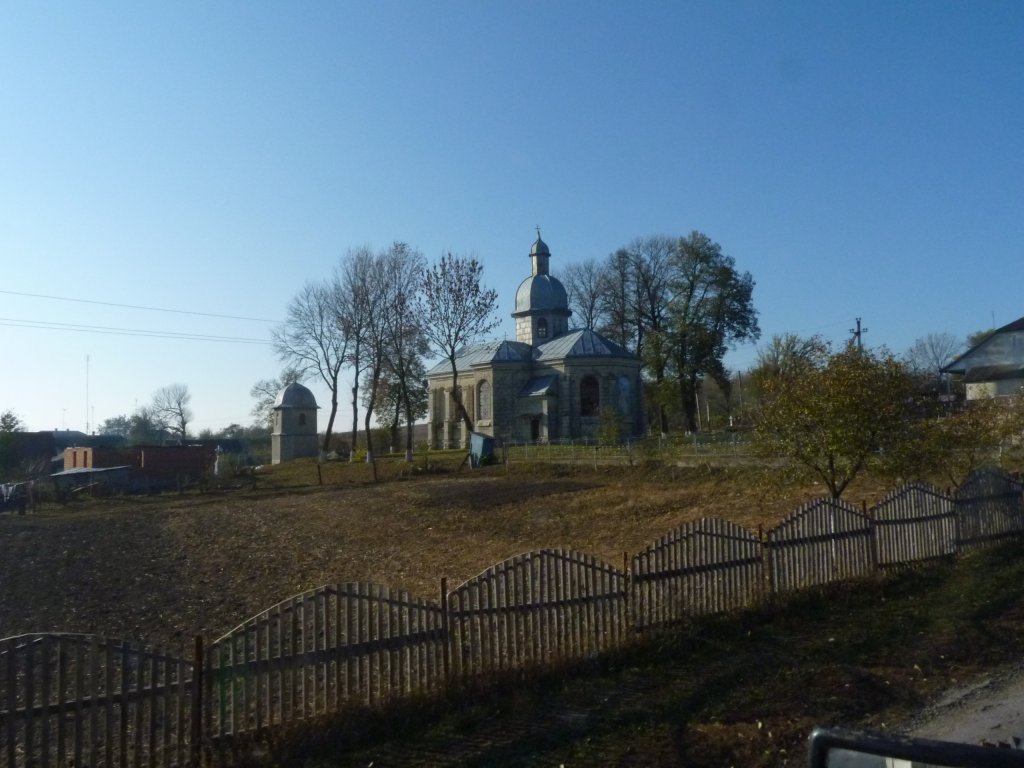
At first we thought this was a church but on closer examination its more like a chateau. No religious regaila, like crosses, that we've seen on church spires.
We can't imagine what its doing in the middle of the Ukrainian countryside.
We've also noticed cartons of apple juice alongside the orange juice in shops.
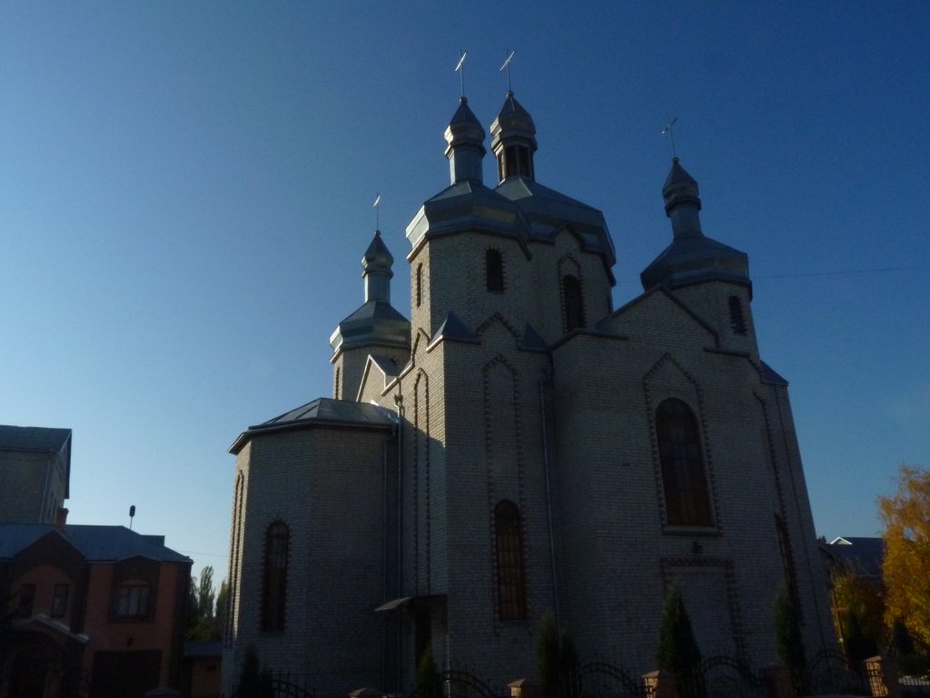
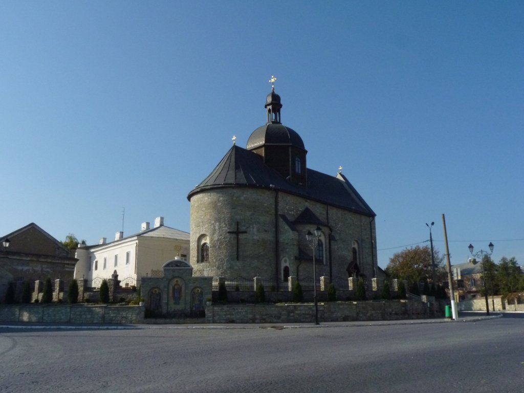
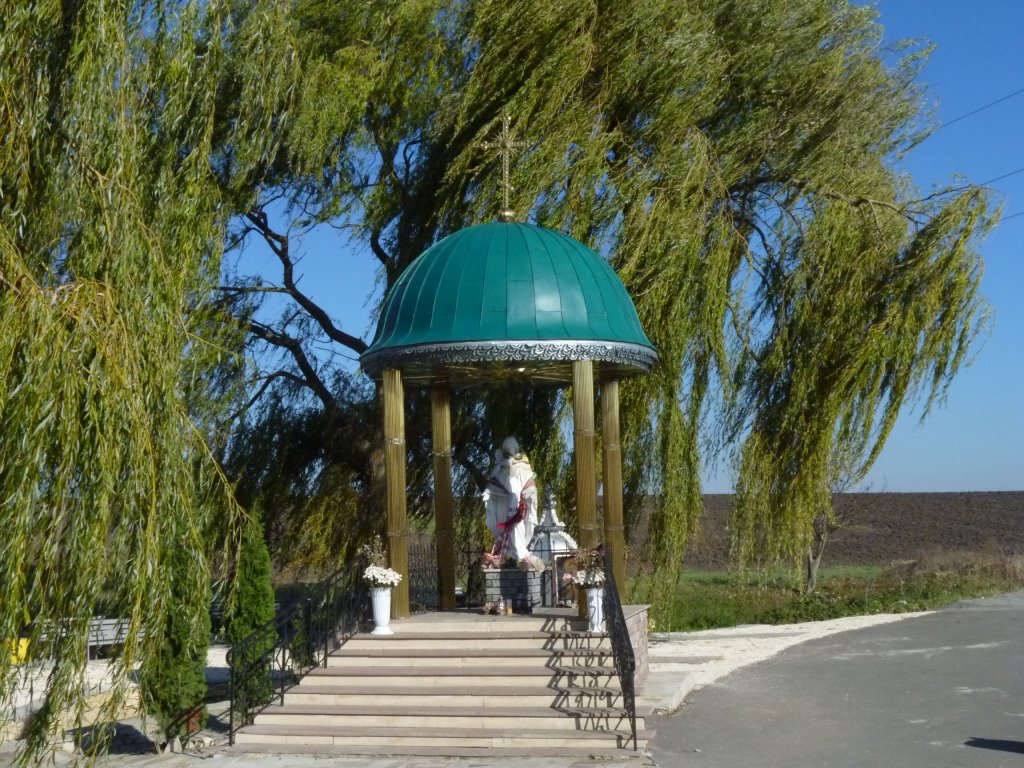
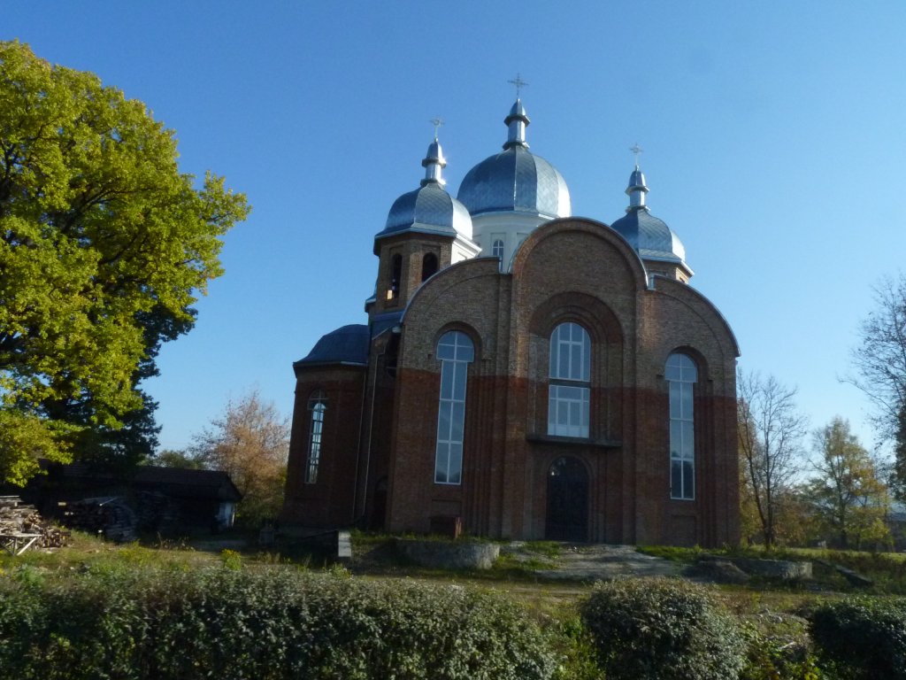
As we approach the Carpathians it seems that every village has one.
All looking freshly rebuilt or extremely well maintained.
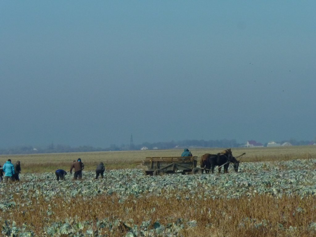
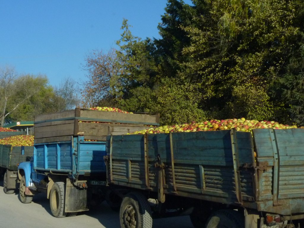
To go with the bags of potatoes, onions and cabbages being sold by the roadside we saw the harvest in progress.
All very shiny and new.
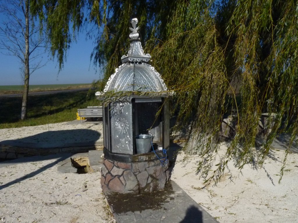
On the other side of the road was a new public loo.
We stopped for lunch. We didn't see the well until time to go so missed filling our tanks with water.
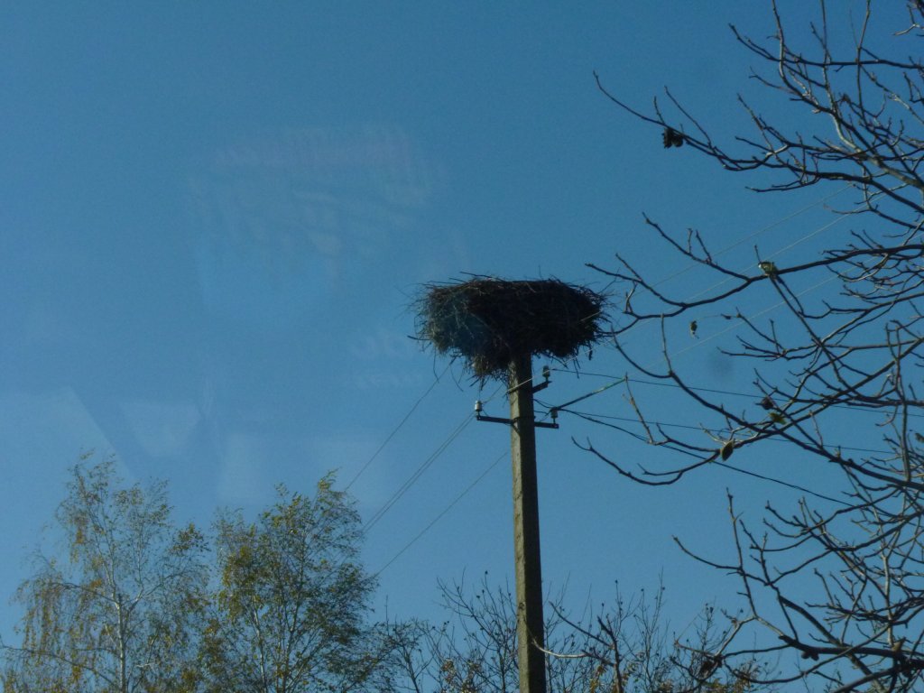
No cranes. We think they have more sense than to hang around here for Winter and have migrated somewhere warmer.
Perhaps something about how different cultures view and celebrate education.
No school uniform.
South of Yaremche, south of Vorokhtov, just outside the park gates and the road to Zaroslyak (sports center).
A convenient rest area in a small patch of woods.