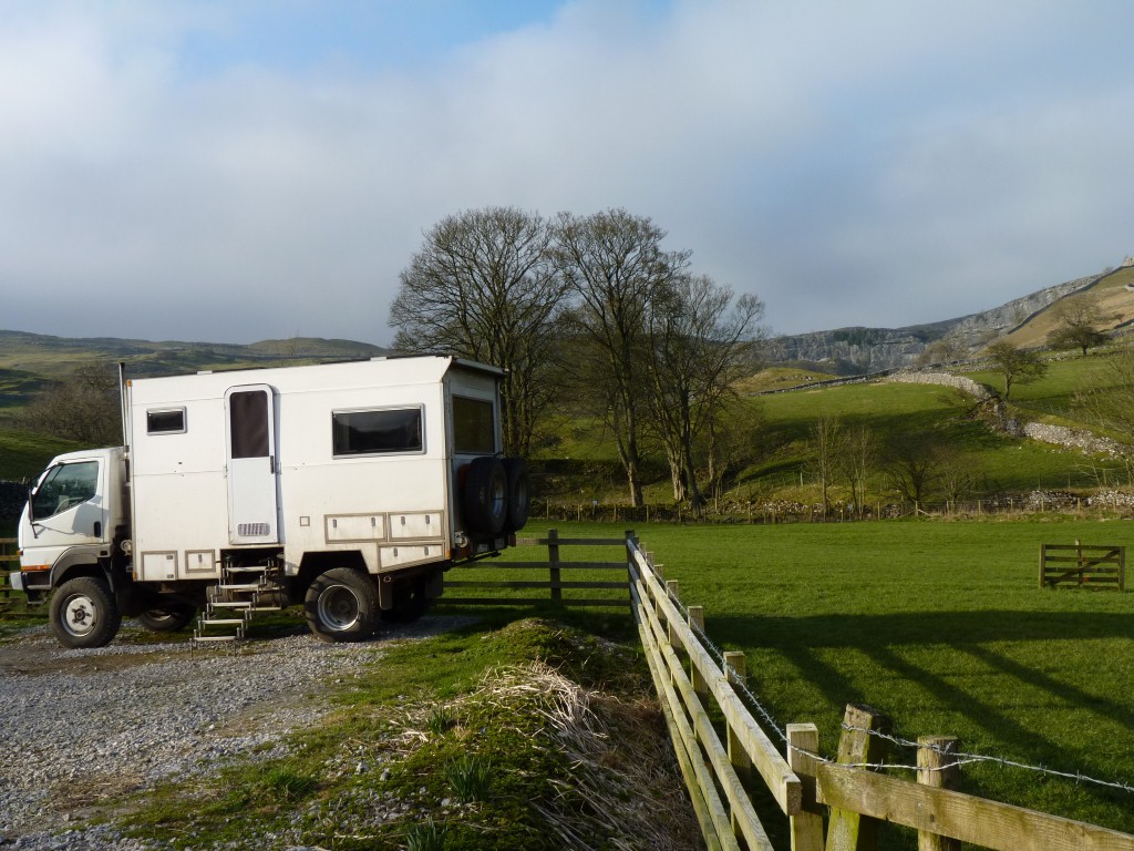
There wasn't much phone reception and thus internet in Horton but there was in Settle.

Maybe it was never meant to have any bells.
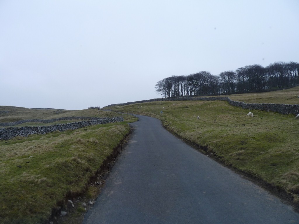
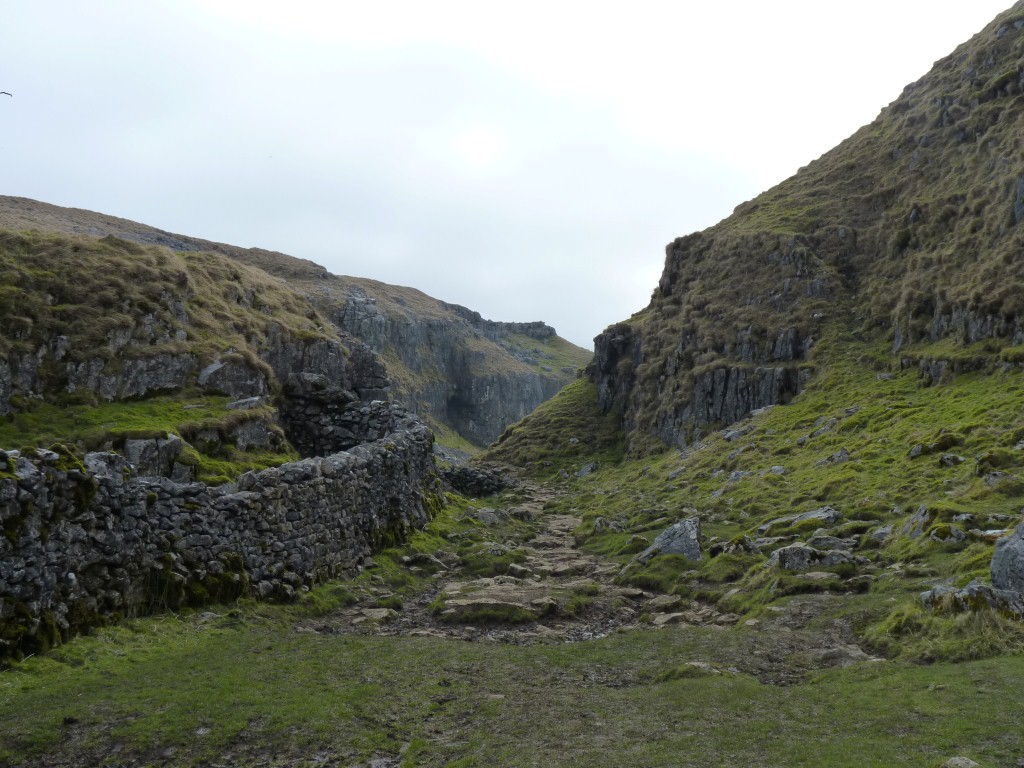
Even narrower roads.
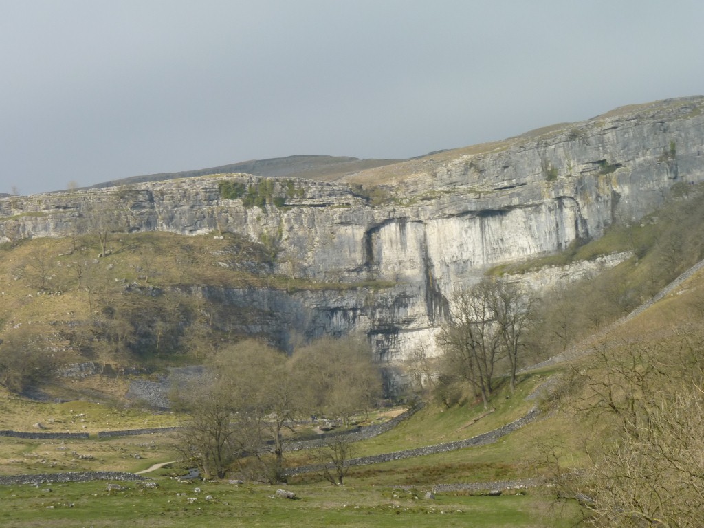
In the dim dark distant recesses of time it used to have a waterfall.
Now the water appears at its base.
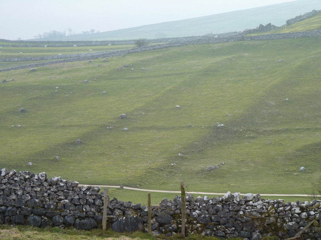
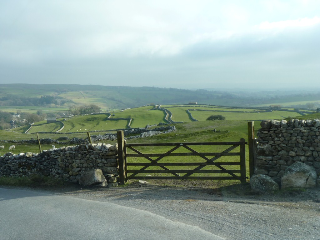
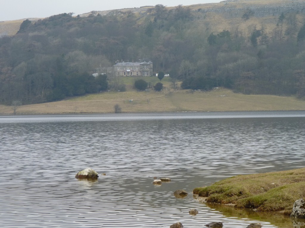
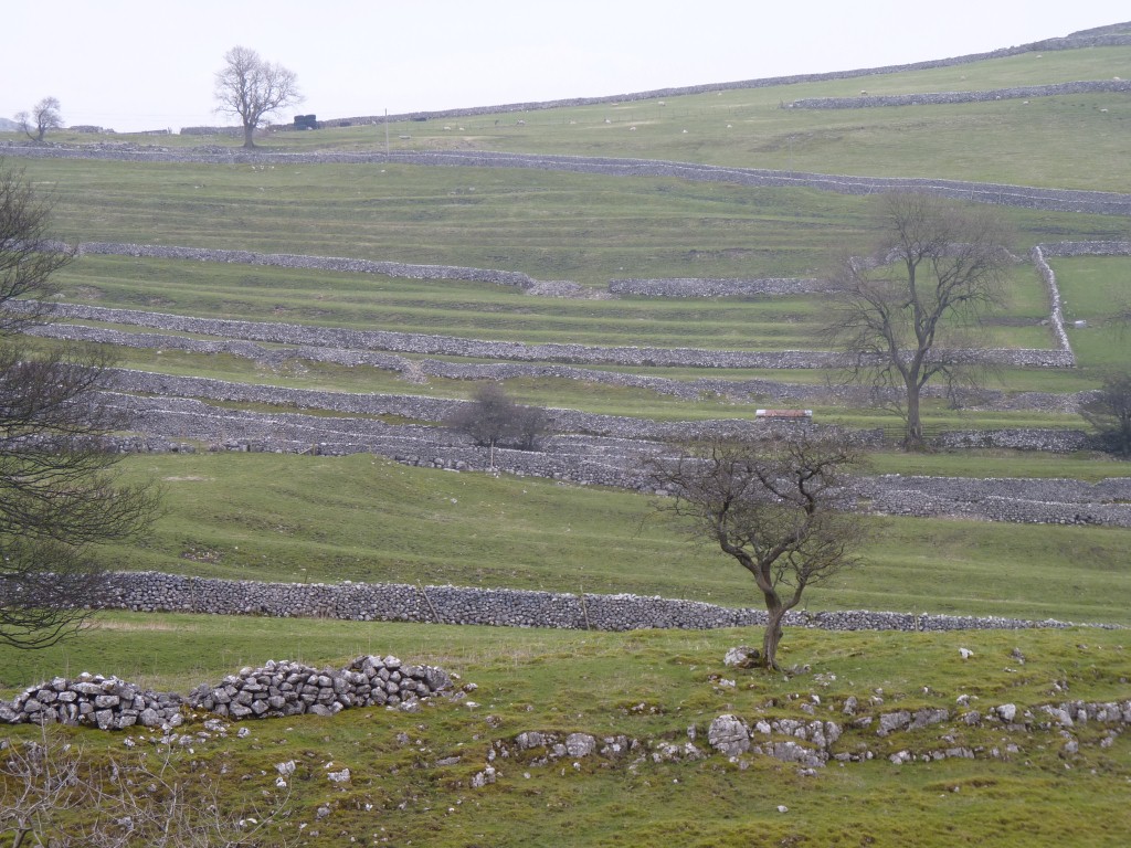
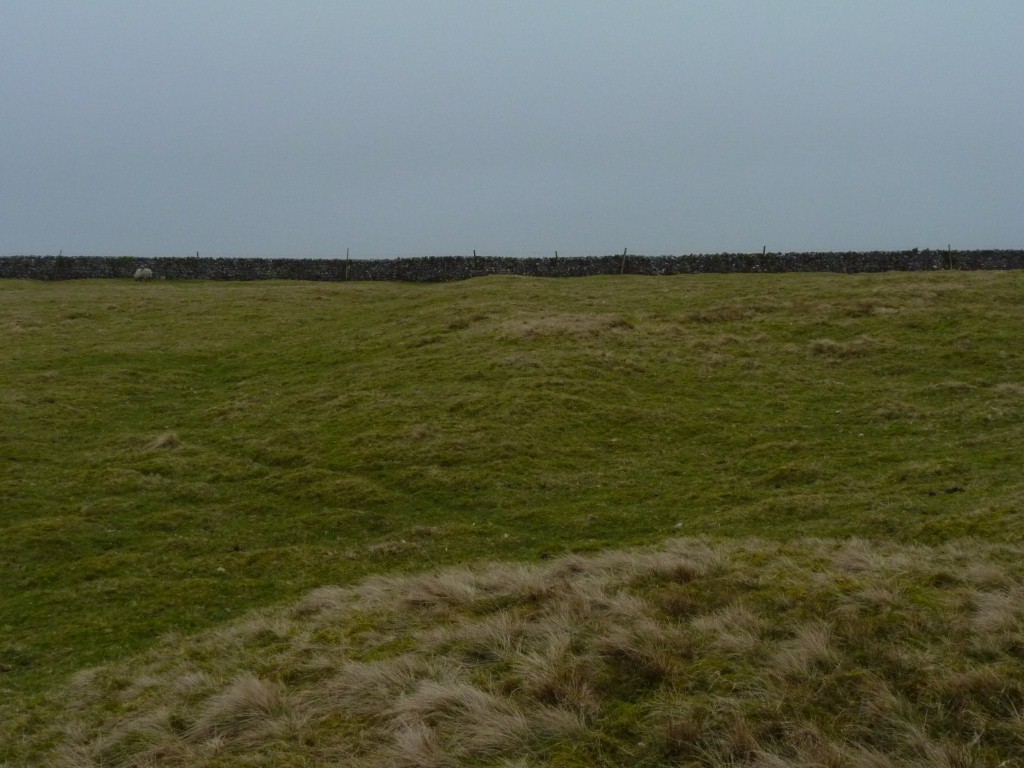
There's lots of evidence of old field systems.
From before the enclosure acts caused the stone walls to be built.
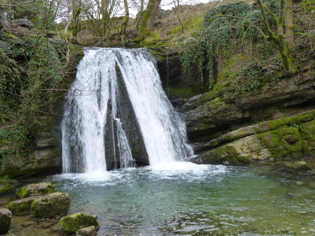
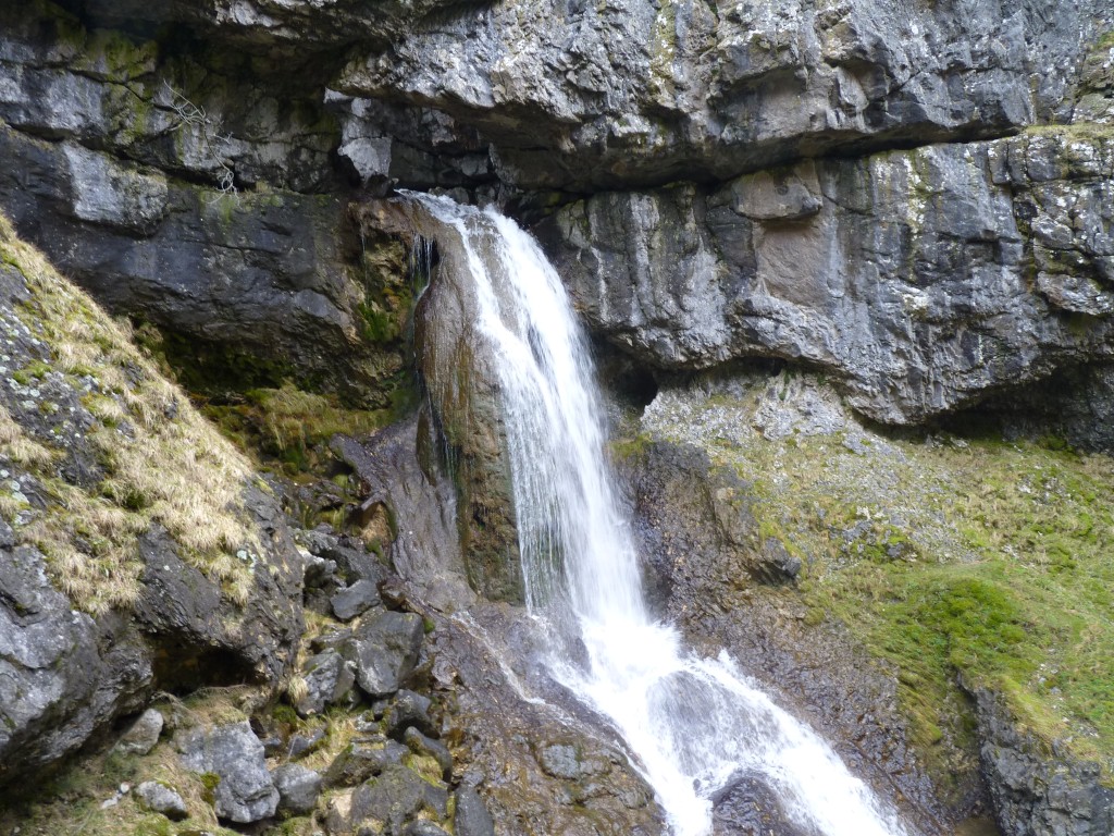
This is Janet's Foss on the stream that runs from Goredale.
Janet is the Norse Fairy that lives in the cave behind the Foss (waterfall).
I knew that!

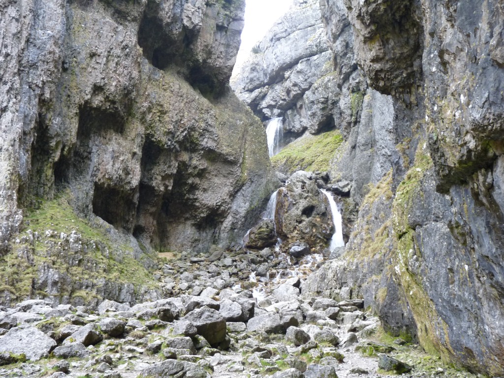
The top part appears through a hole in the limestone.
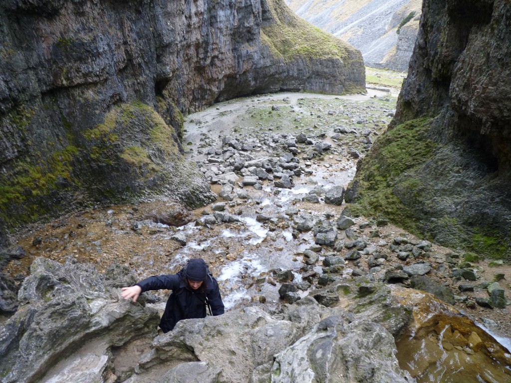
A scramble rather than a climb.
But a bit damp.
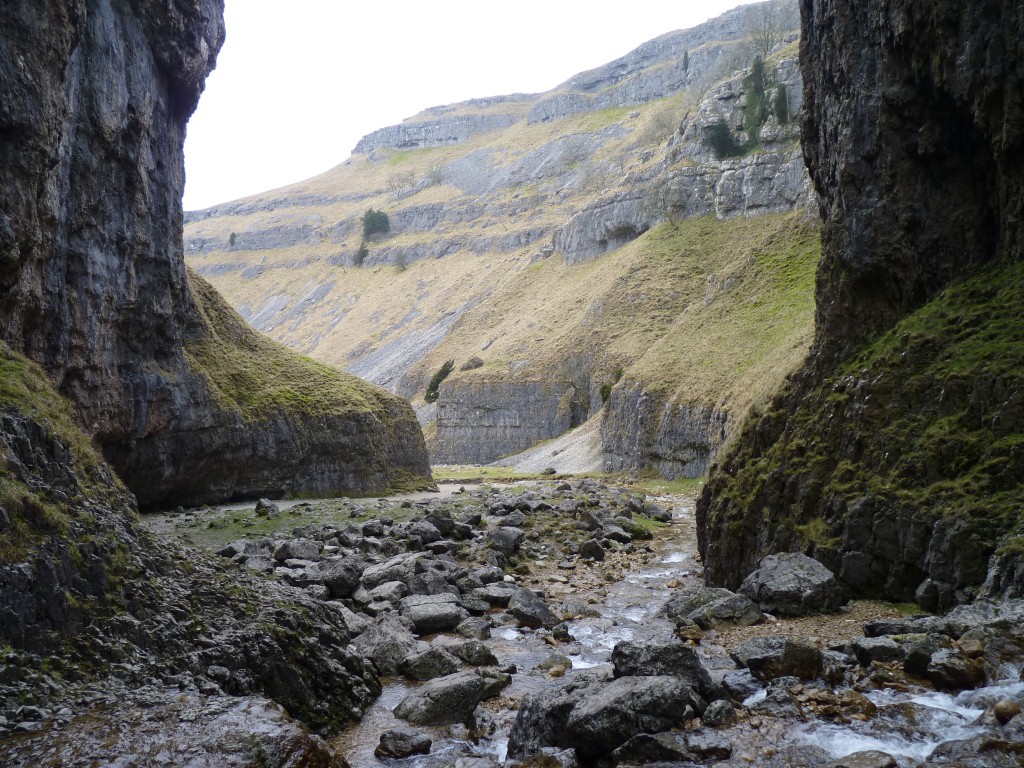
We didn't have to climb through it.
There's an easy path around.
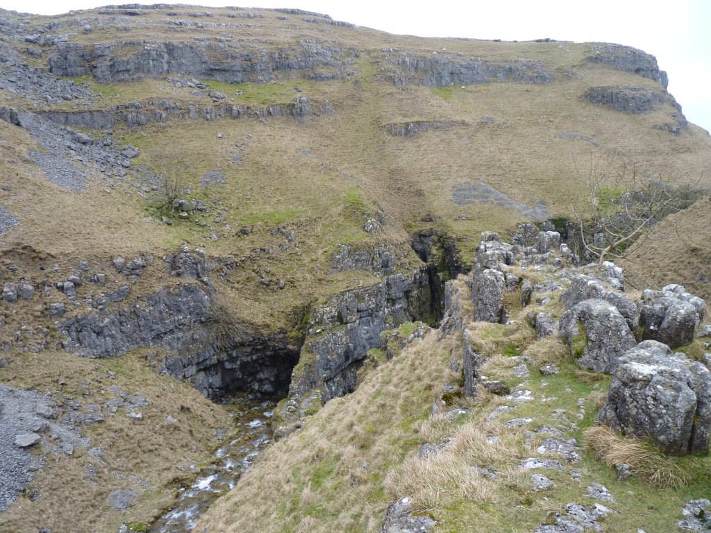
Easy really!
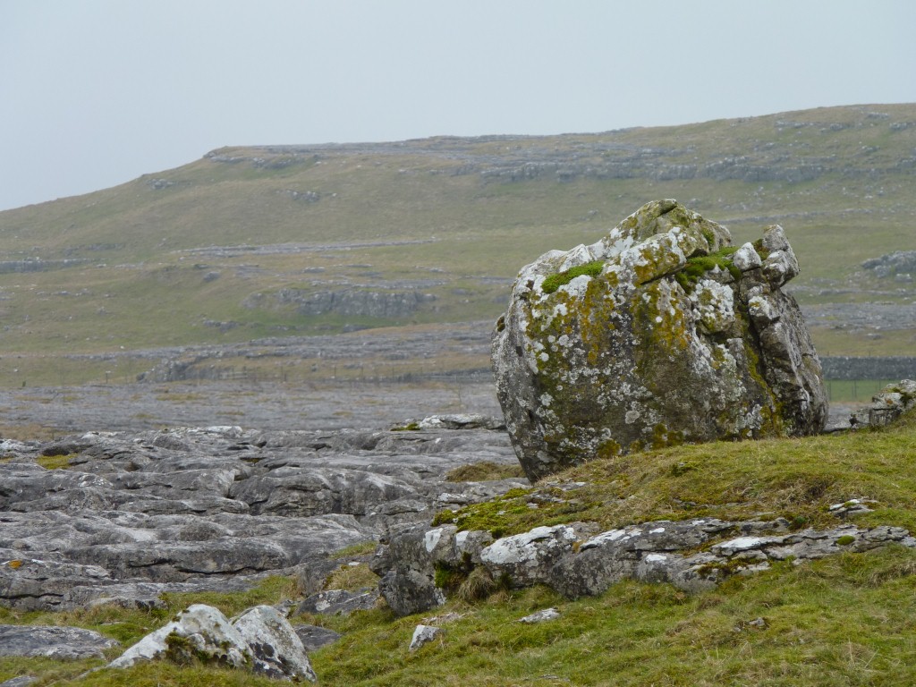
Just another erratic.
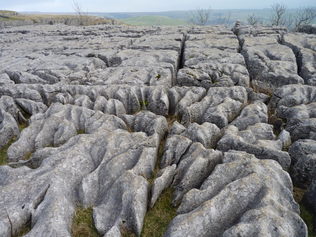
There have been three ice ages in the area in the last one and a half million years.
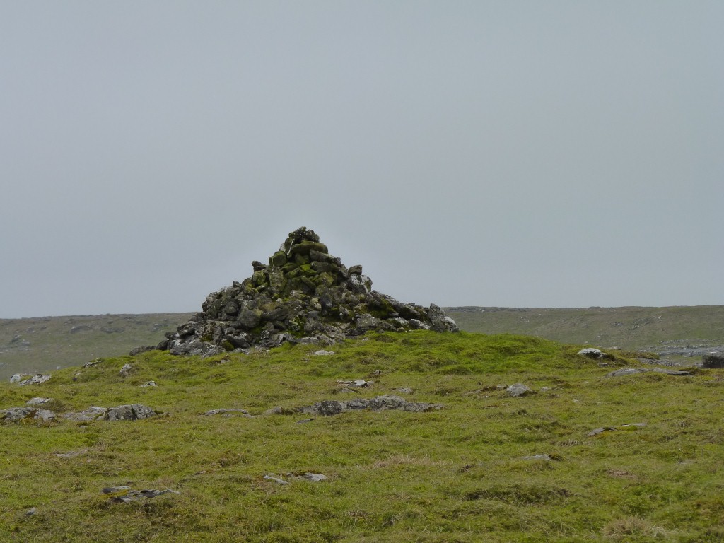
After all our Asian travels some of them look more like burial mounds.
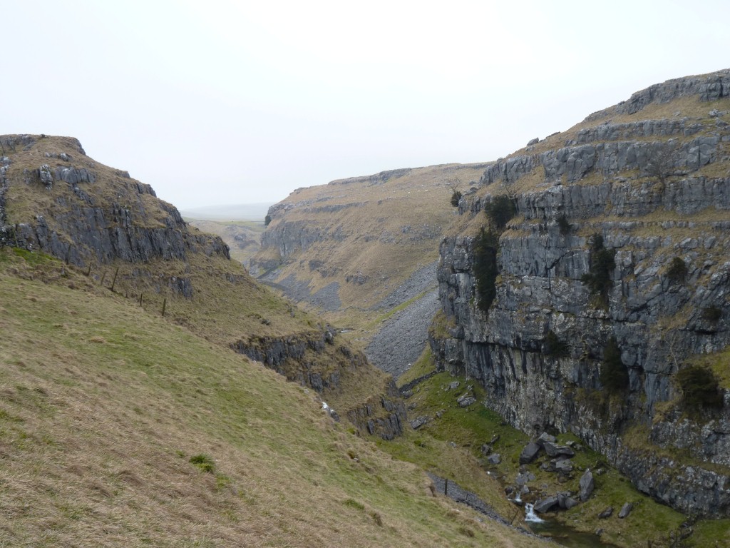
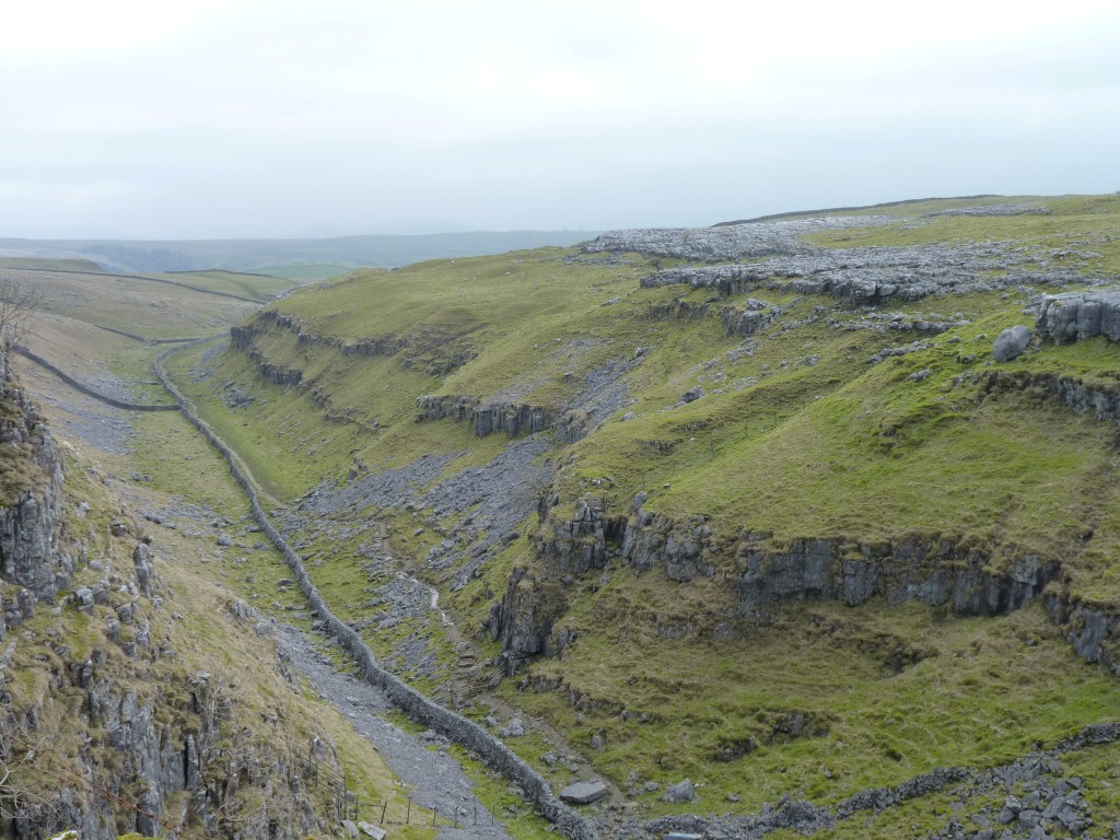
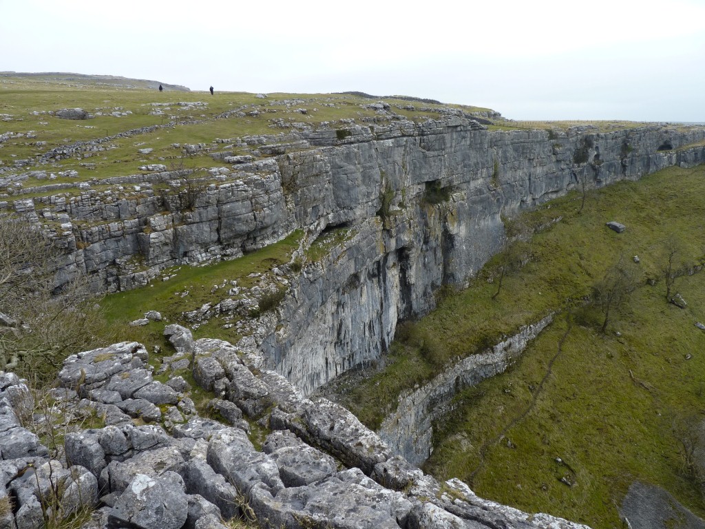
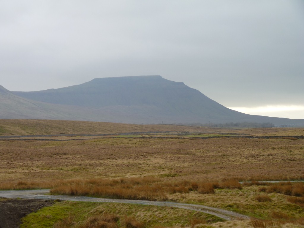
It starts of wet, with the flow of water from Malham Tarn. But that soon disappears underground.
The owls keep the rodents at bay so they don't eat the fodder for the animals.
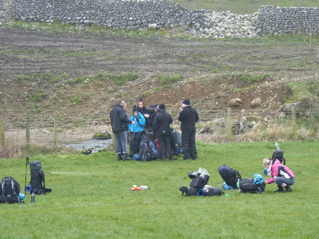
We couldn't help but notice the penguin like activity as they huddled a bit close to keep warm.
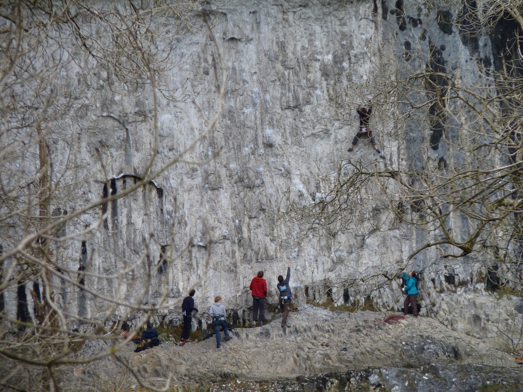
A bit inexperienced. Some of them had very heavy packs.
Very reluctant to start the day.
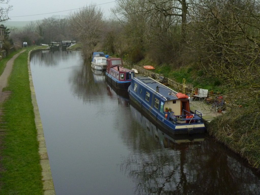
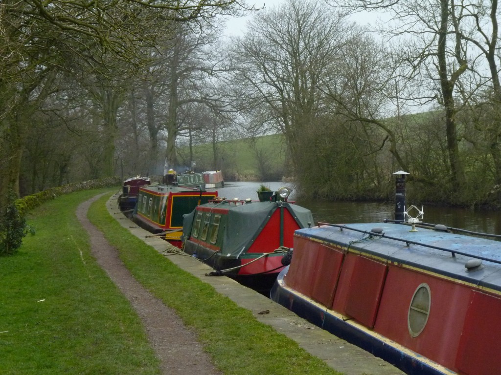
Parked next to the Leeds Liverpool Canal and went for a walk.
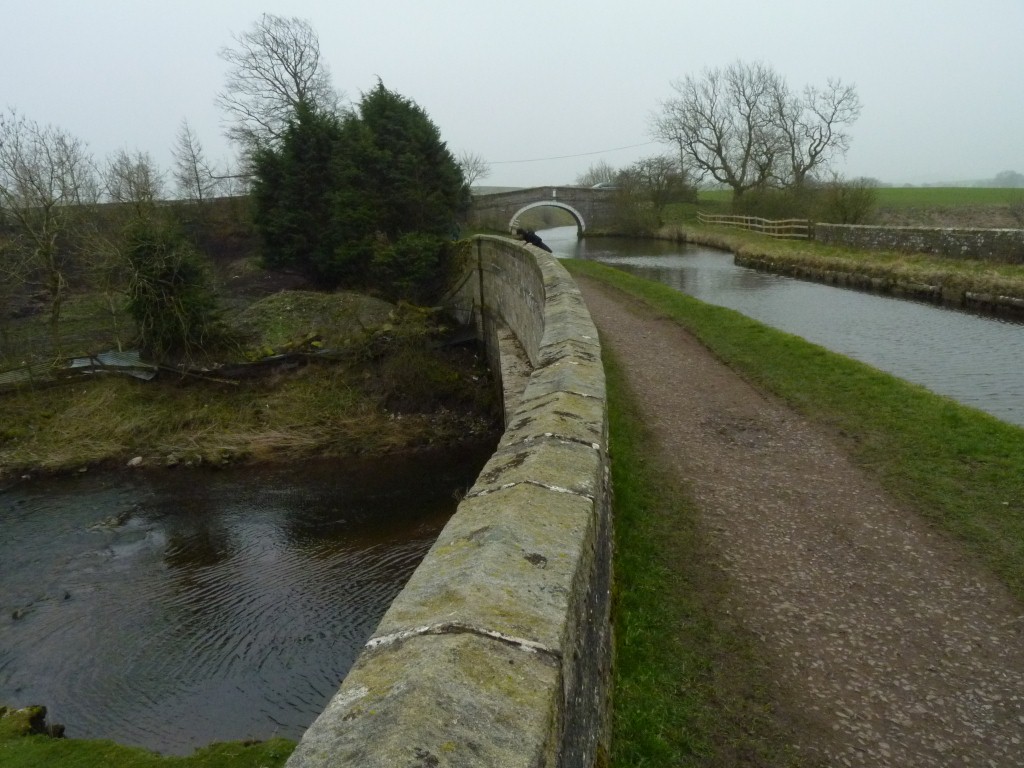
There's more.
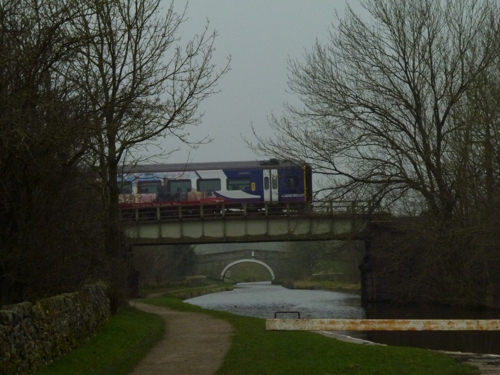
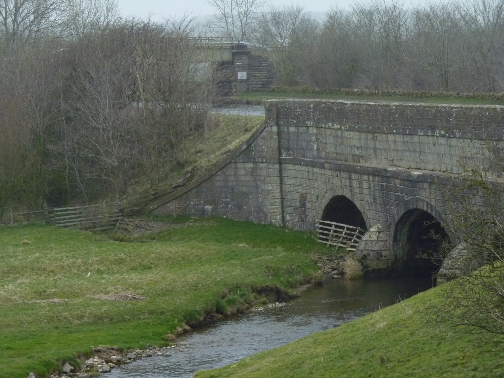
The canal is also crossed by a rail line.
Which of course then crosses the road.
Our evening stroll was to the nearby Mastiles Lane Roman Marching Camp.
Not a lot left.
This is the gate in the wall. Just visible as the ridge in front stretching away.
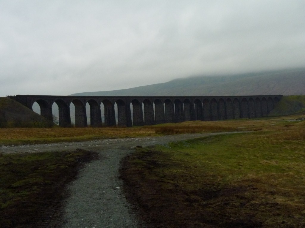
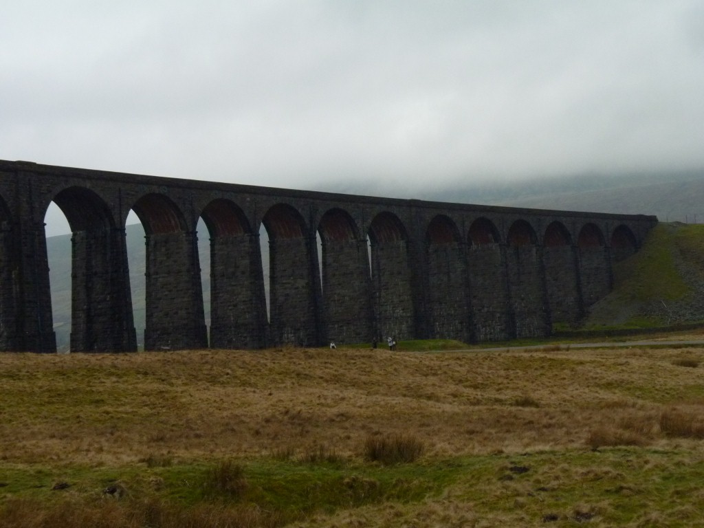
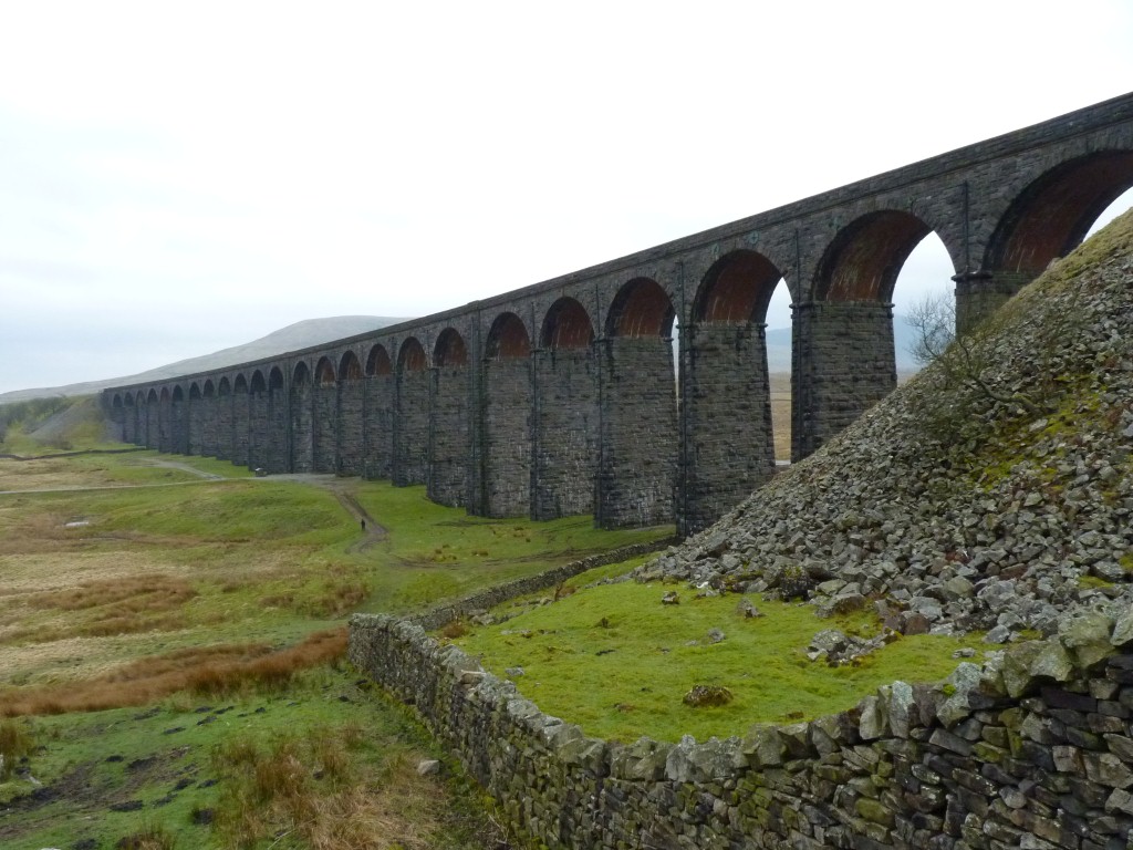
This is the Ribblehead Viaduct. The one we saw from the top of Ingleborough.
A major interest for railway buffs.
Our train ride a few days ago took us over this but difficult to know while in the train.
It was a huge undertaking in its day (around 1875).
There were many work camps with appropriately atrocious living conditions.
Behind us the embankment continues for a while then the line enters a longish tunnel under Blea Moor.
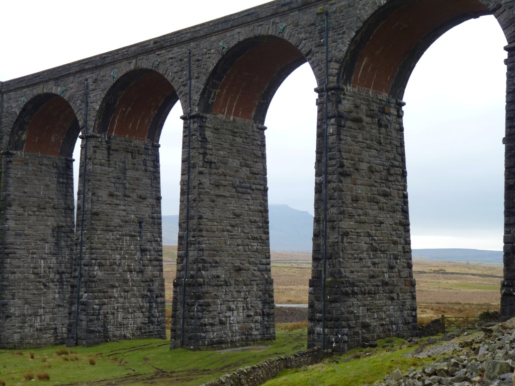
There was even a brickworks near here.
Under the arches is not the same stone as the uprights and sides. Its red.
There are a few bits and pieces on the track under the viaduct. Unusually hard for just plain ordinary red brick.
A bit more research to do! Funny how deficient all the interpretive signs are about the essentials!
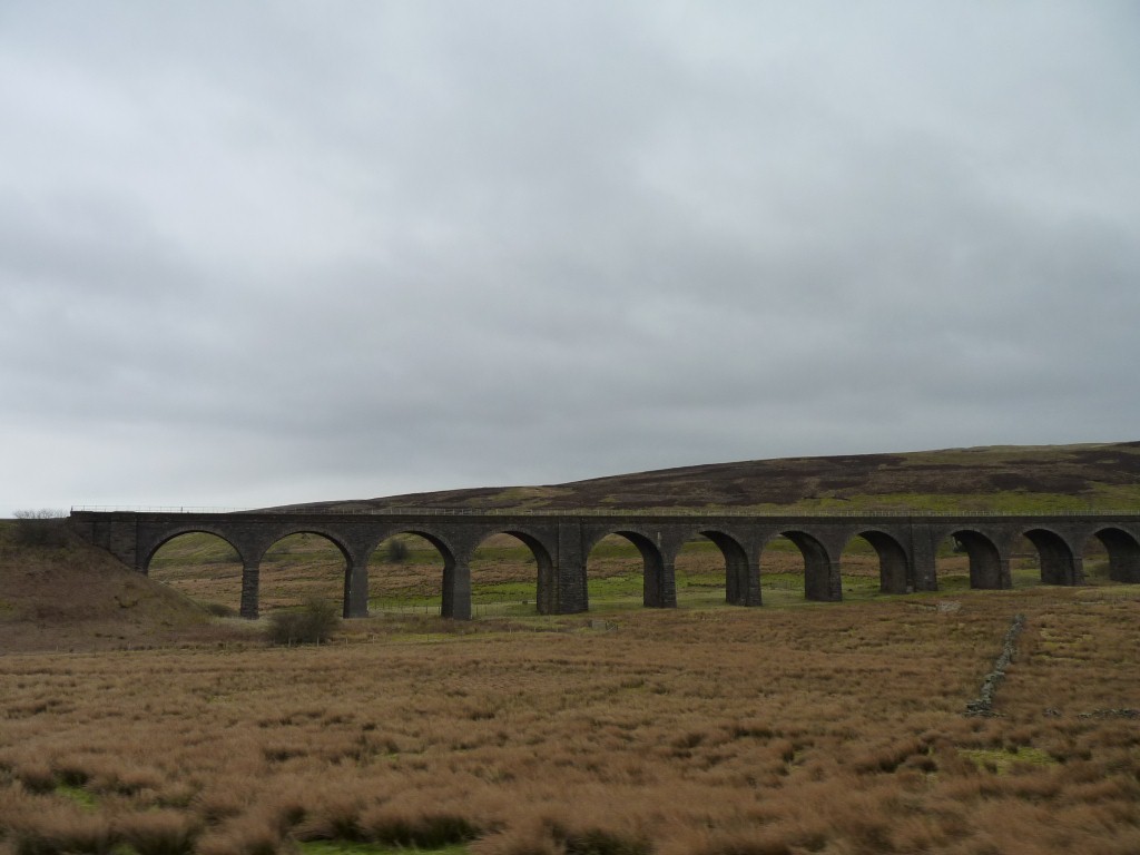
Possibly Appersett (on the dismantled line through Hawes) or the Dandrymire Viaduct.
Still a major engineering feat given that we sink just walking across bog and peat.
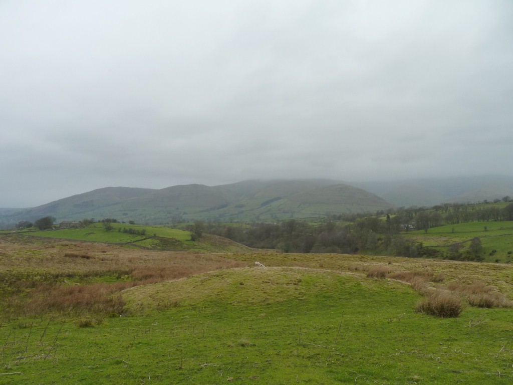
Between us and the Howgills is the Dent Fault.
The boundary between the limestone that eroded in steps due to variations in rock hardness and the Howgills made of harder rock that ended up a bit rounded.
We've had our fill of limestone for a while and are on our way from the Dales to the Lakes District.