There's a 20th century causeway for vehicles.
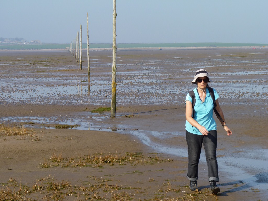
And the Pilgrim's Way for pedestrians.
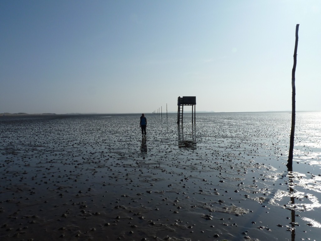
Marked by tall poles and a couple of platforms for those unfortunate people who set out without checking the tide times.
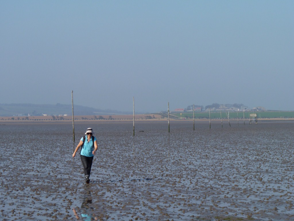
A trifle soggy underfoot but just surface water and the occasional softer muddier patch.
Its probably where people drove their horse and cart before the causeway was built.
There was also a patch of deeper (ankle deep) water to cross where it was still draining.
It takes about 90 minutes to walk.
On the way back we "raced" a couple who walked along the causeway - longer but they walked faster.
We lost, but not by much, and had a good laugh when we met at the other end.
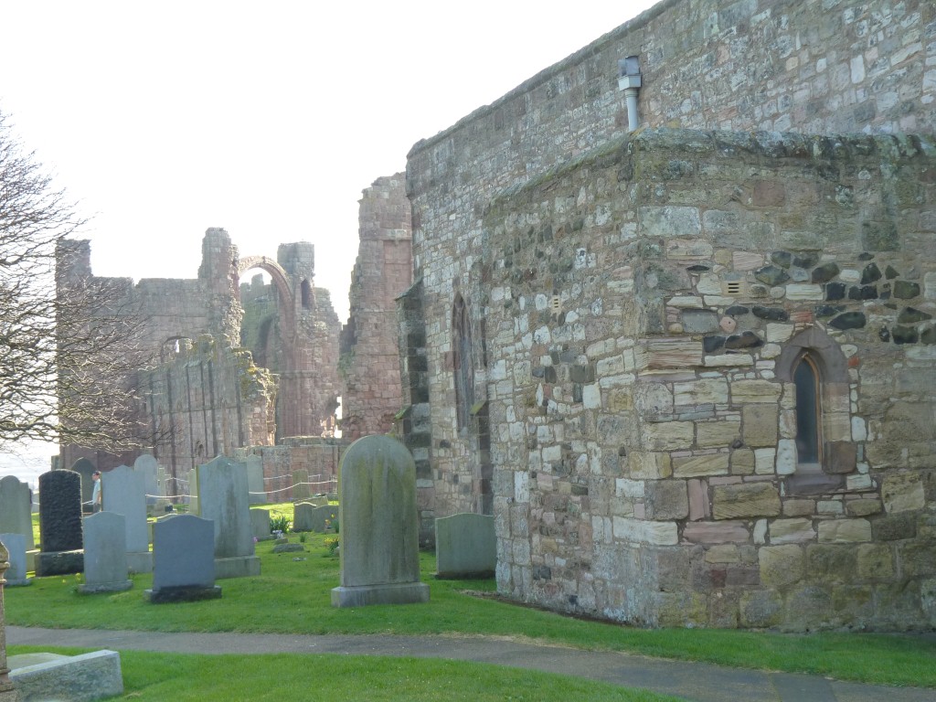
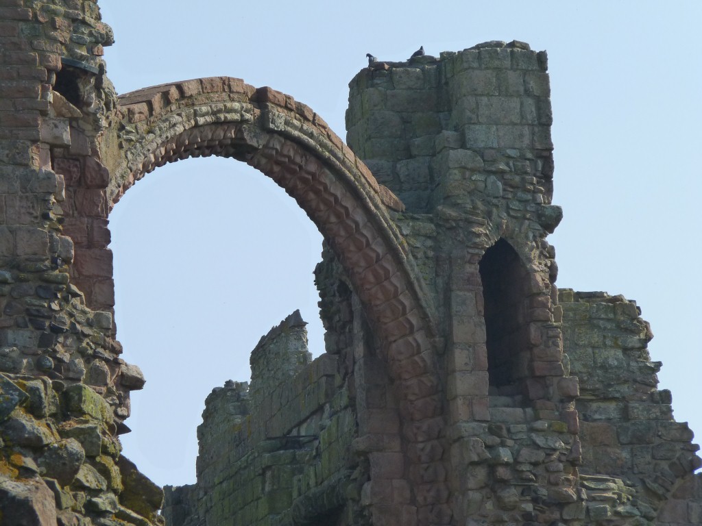
The Priory is where the Lindisfarne Gospels (now housed in the British Museum) were written. Illuminated copies of the biblical gospels.
This is from where St Cuthbert spread Christianity, we think around 7th century. After the synod of Whitby?
One would think that if places are closed on one or two days each week, and there are seven days in a week, then the chances of us arriving on a closed day are relatively low.
Not so. Maybe we should buy lotto tickets. The museum and priory were closed because it was Monday.
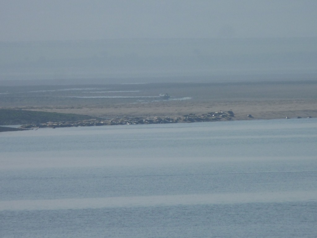
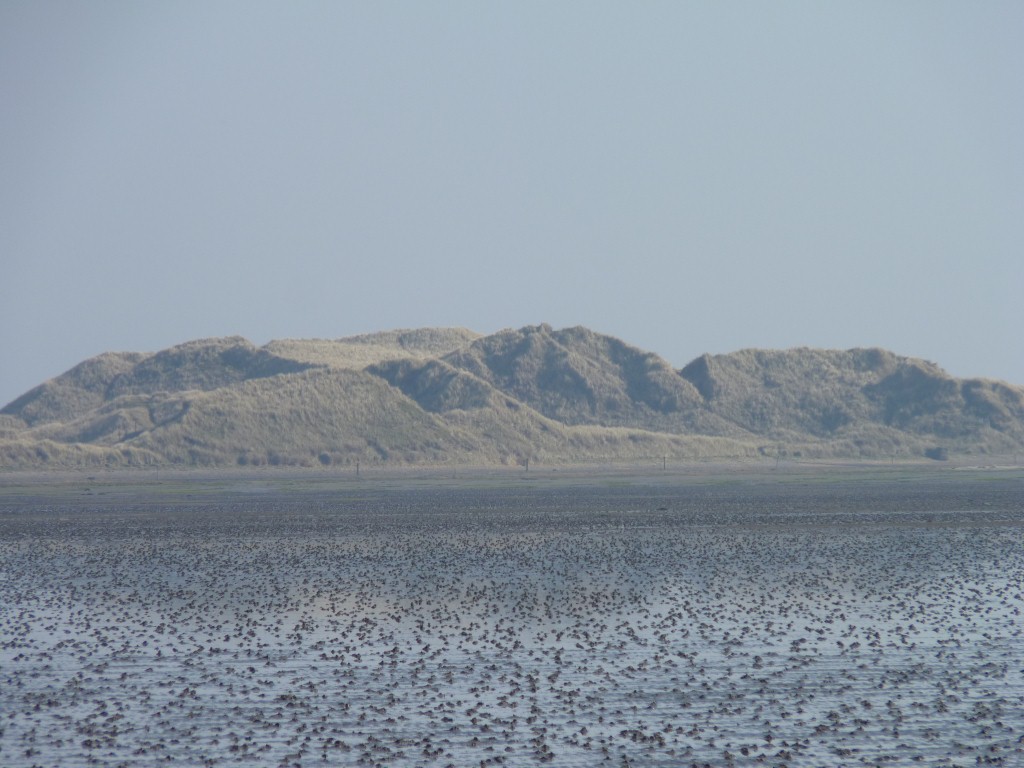
Seals.
Lots of colonies around the Farne Islands.
We decided against a boat trip from Seahouses. Landing on the islands isn't allowed at this time of year.
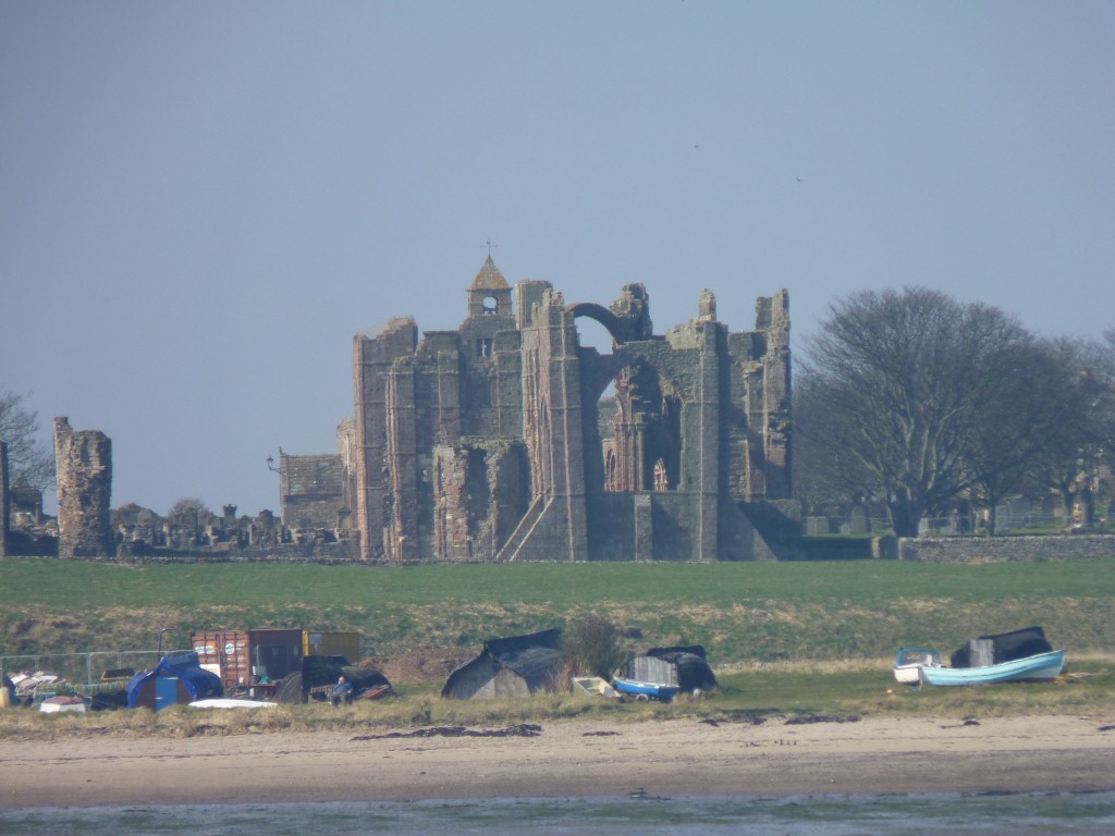
Apparently pillaged by the Vikings. It didn't survive to the reformation that destroyed Whitby Abbey.
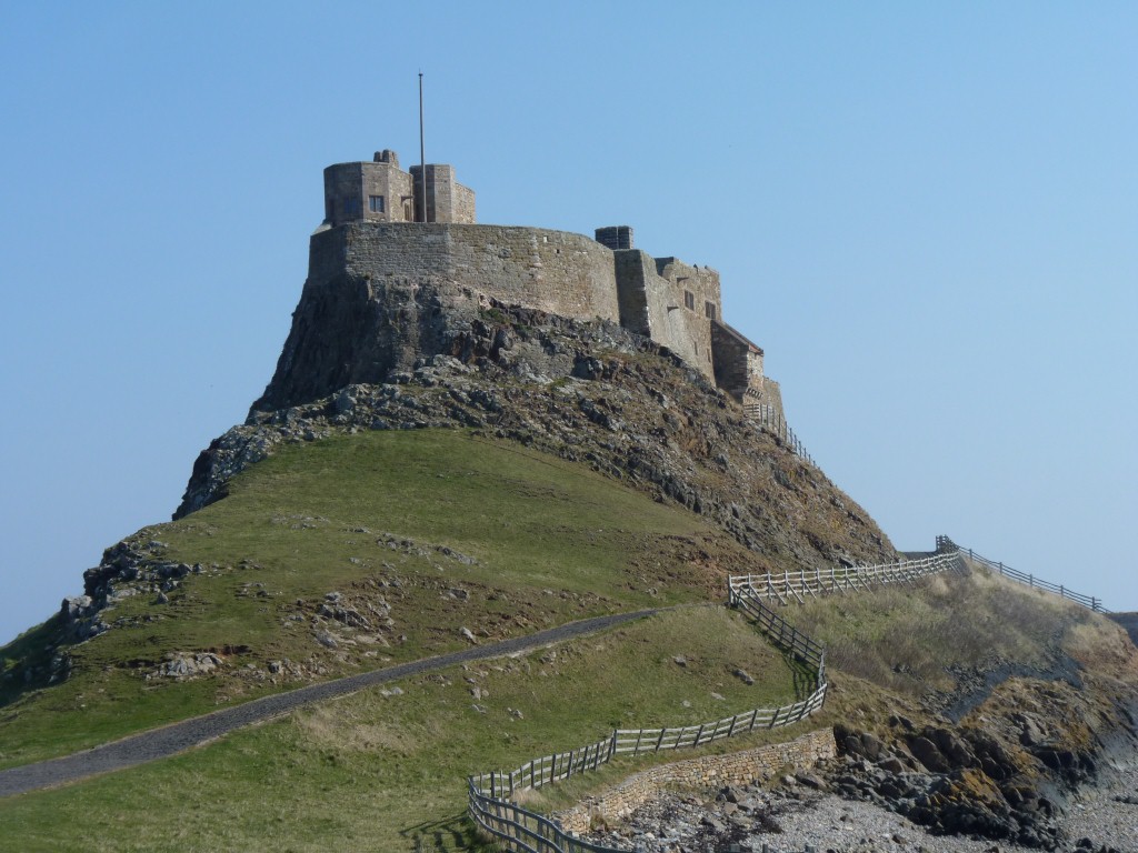
Lindisfarne castle.
Built as an Elizabethan fort it later became an Edwardian holiday home.
Apart from its being closed because it was Monday of more interest to us was the hard Whin Stone outcrop its planted on.
The same dolerite we encountered at Hadrian's Wall.
We walked a bit further round the island, watched the birds and the sea, failed to find more seals, then walked back across the mud flats.
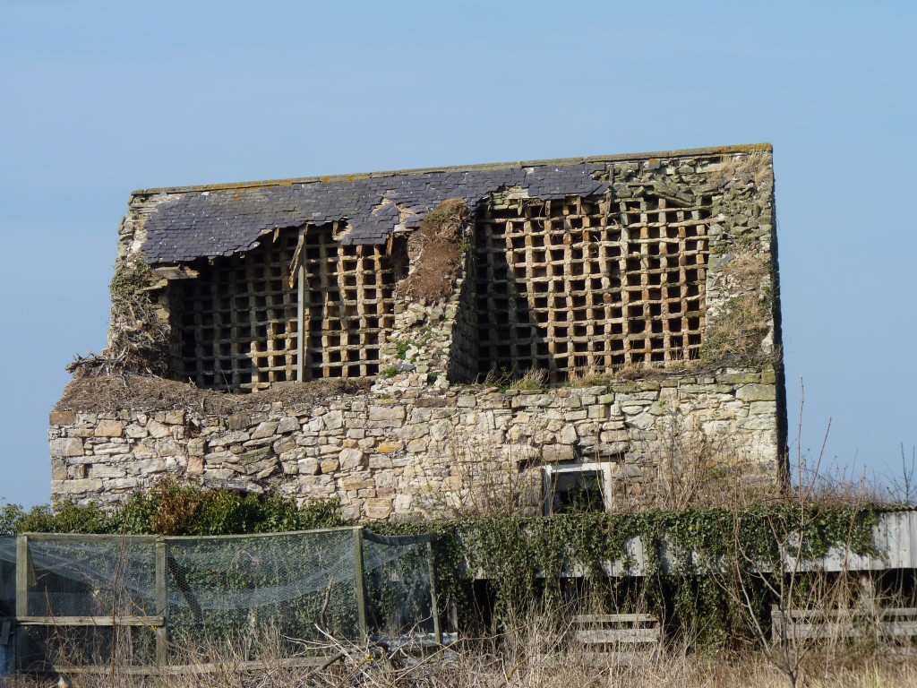
Beal is just a few houses on top of a small hill, almost all tourist accommodation, restaurant, or farm.
Just outside is this building sans roof.
Possibly an example of real pigeon holes!
Plenty of room.
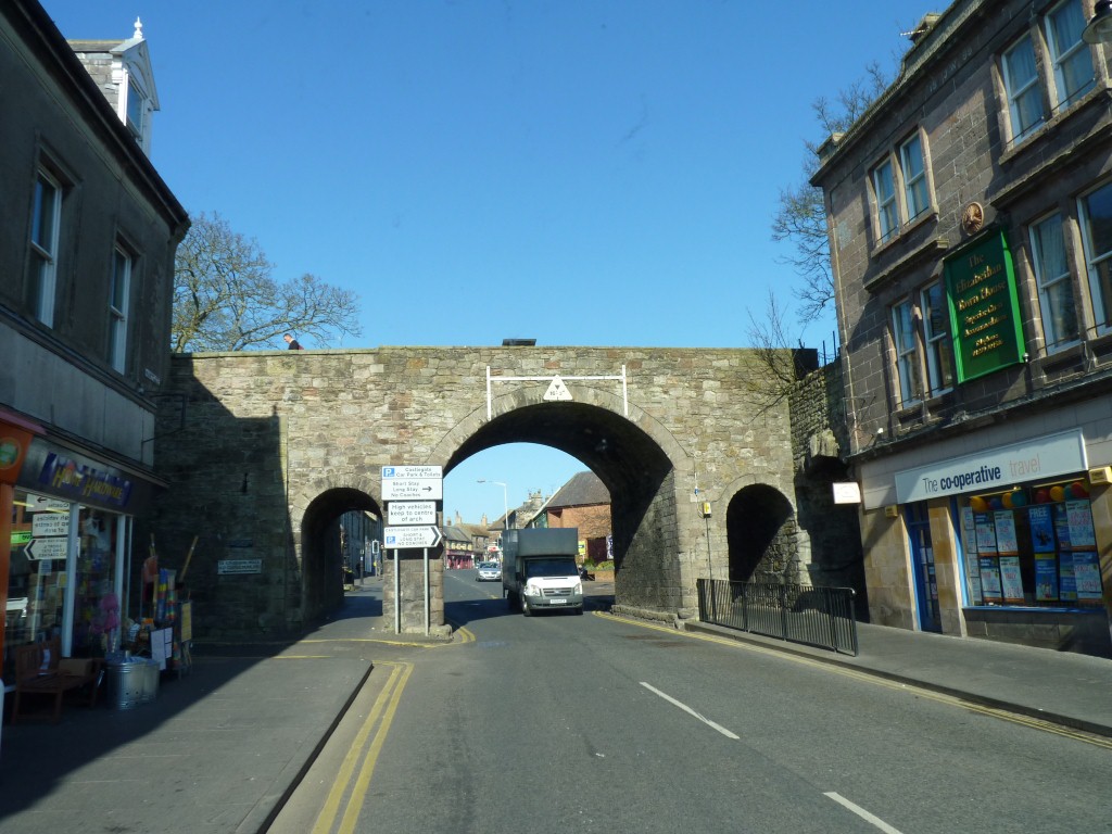
We knew exactly which (free) car park we were headed to and our gps would do the rest.
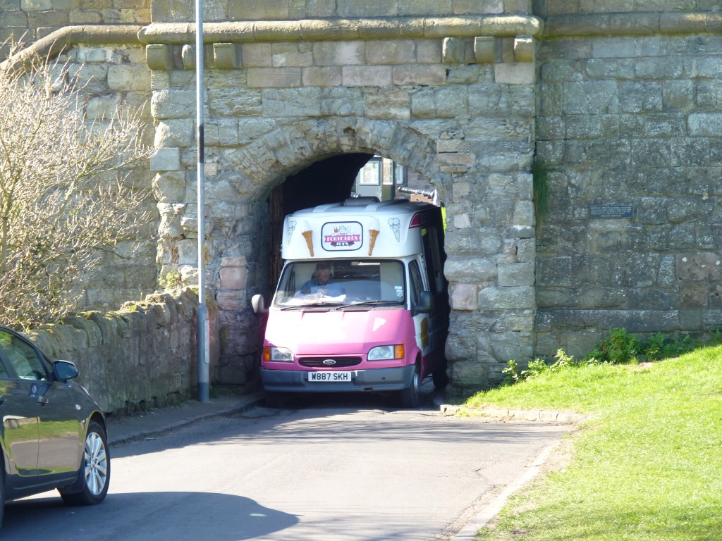
Fine for ice cream vans but not for Tardis (even though its smaller on the outside than the inside).
We retraced our wheelmarks to the outside of the wall and took a few side roads until the gps saw sense and directed us on a route we could follow.
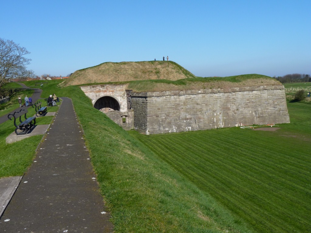
There is a bastion at each corner, so the guns can be trained along the wall as extra protection. The walls also have an angled earthen top so cannon balls don't bounce and do lots of damage.
We wondered how the grass was cut.
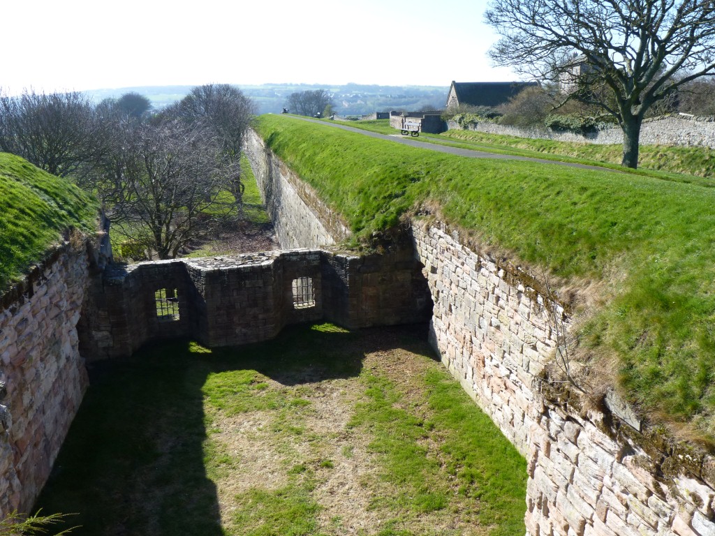
The guns would be pointed through those windows.
The tunnels to allow access to the bastions were never completed, as with other parts of the walls.
At the time it was England's largest infrastructure project and ran out of funds.
Just far enough away from the barracks to avoid damage in case of an accident, but close enough to be accessible when required.
We lost track but the house in the background had some association with Lowry. A lot of his pictures were painted in this area but he didn't buy the house because of advice about rot.
If anyone is interested there is a house somewhere in England that I didn't buy!
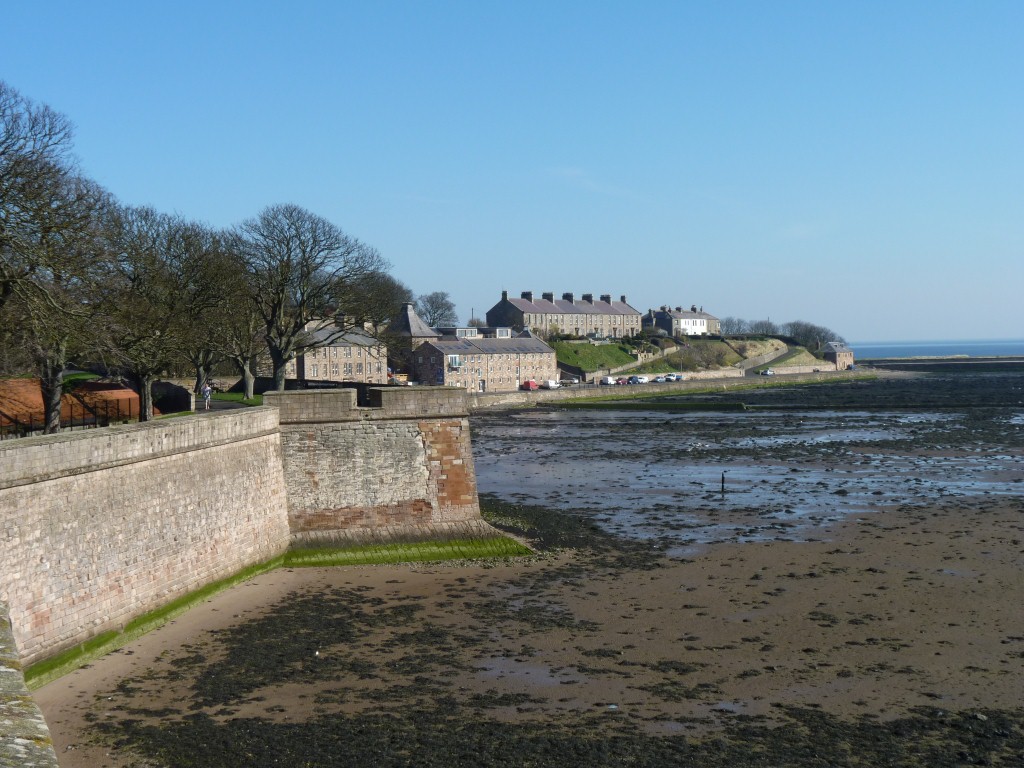
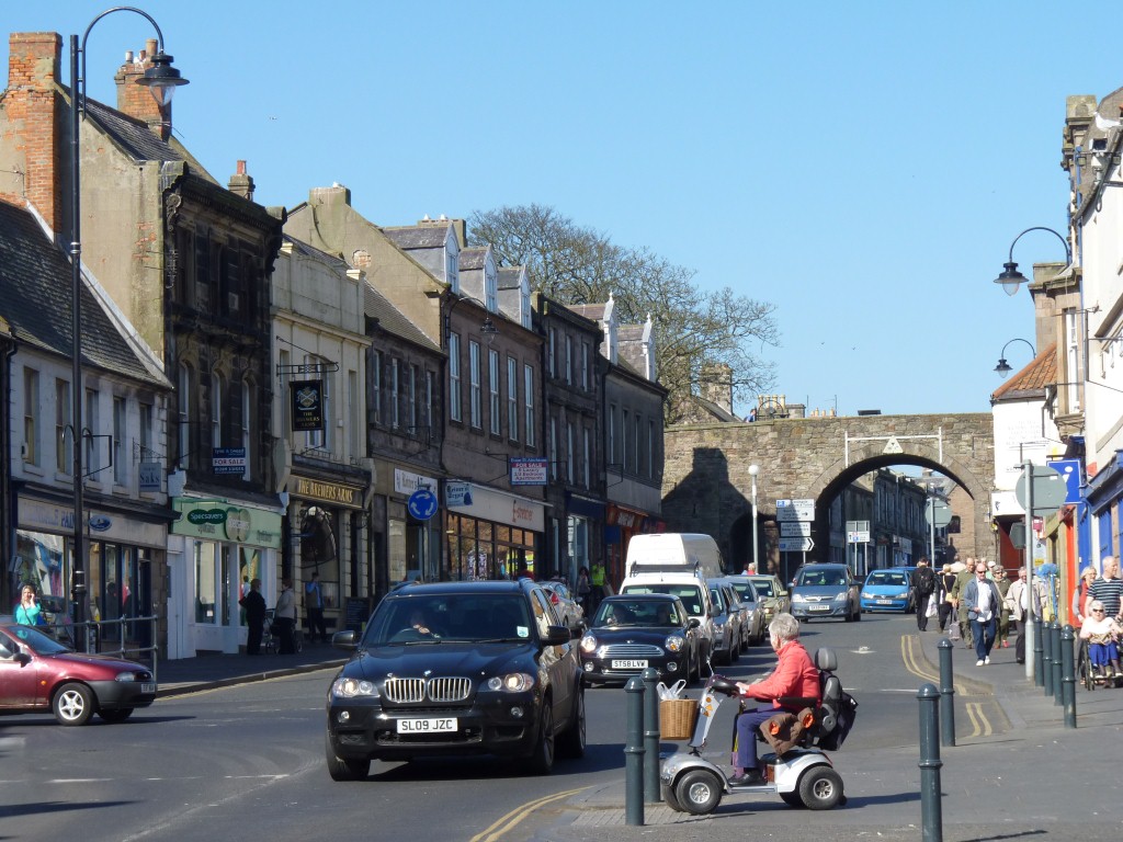
We'd noticed the stone buildings and walls in other parts of the country but weren't expecting the various shades of pink in the sandstone here.
Very pleasant.
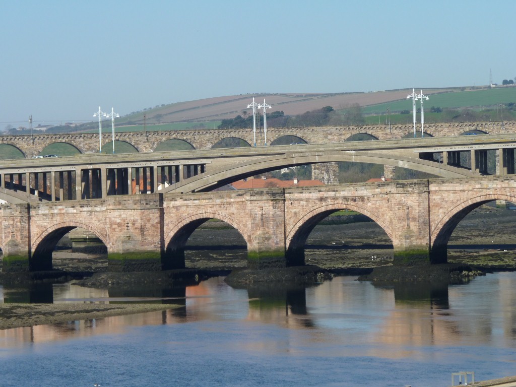
Old sandstone road bridge in the foreground.
Concrete and steel road bridge in the middle.
Sandstone rail bridge behind.
Out of character steel clip on posts to hold the electric cables for the trains sticking up.
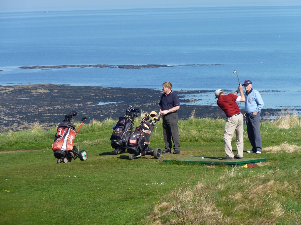
Golf is a strange game.
Hit that little white ball with a big stick.
Then walk to where it lands and hit it again.
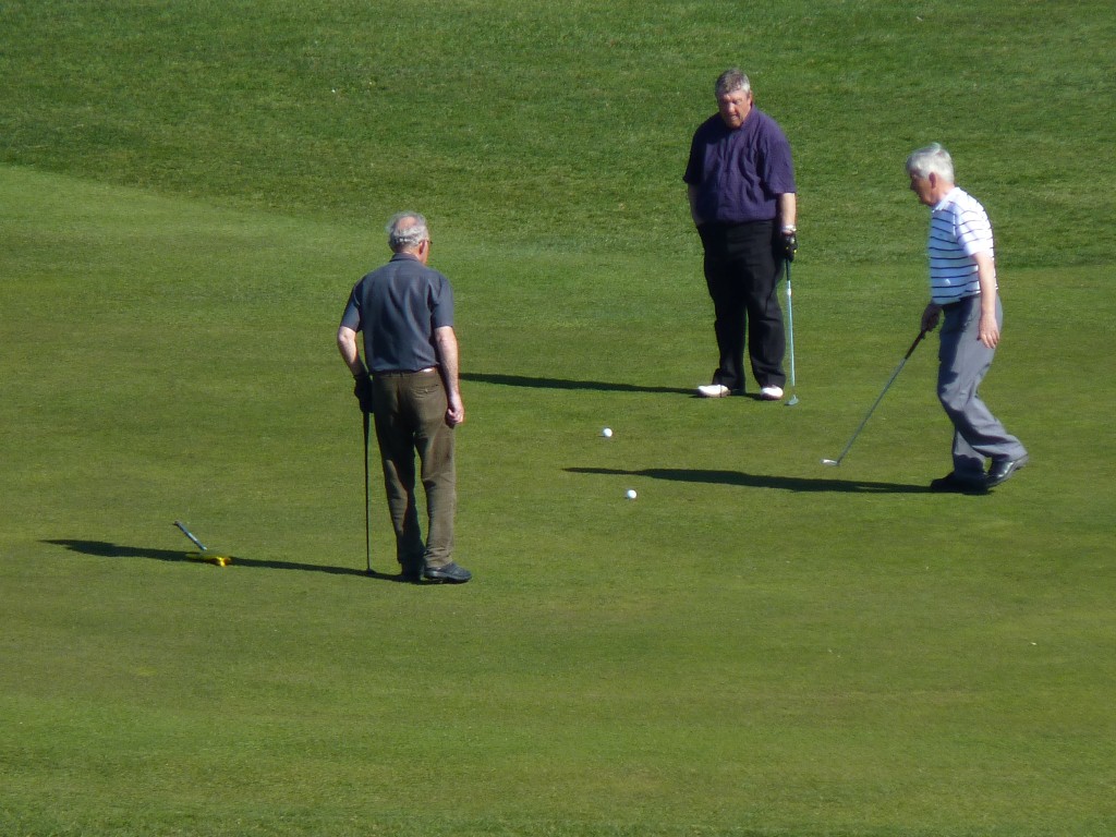
We couldn't decide who had the better deal, or who was sillier.
The golfers driving their golf balls towards the hole or ourselves driving our truck towards a wedding.
A beautiful day for either.
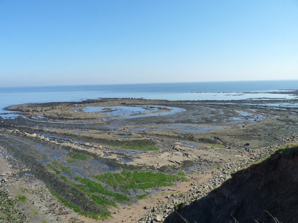
Most of the rock formations north and south of here are aligned straight out to sea.
This bit is concentric circles.
A bit like a hill with the top chopped off. Presumably the hill had been pushed up to bend the rock.
PS By chance, in Feb 2018, I came across a photo of the formation atop an invite by the Edinburgh Geological Society for a day trip to the coast of Berwick. A very quick reply to my query (many thanks) and I now know it is Ladies Skerrs Dome.
Formed by the interaction of two perpendicular faults, then eroded.
Skerrs from the Norse Sker - which I should have known because I used to fish off a rock called "The Sker" at the entrance to Port Erin (Isle Of Man) bay. Ladies origin unknown.
The Vikings did a bit more than pillage the priory on Lindisfarne.
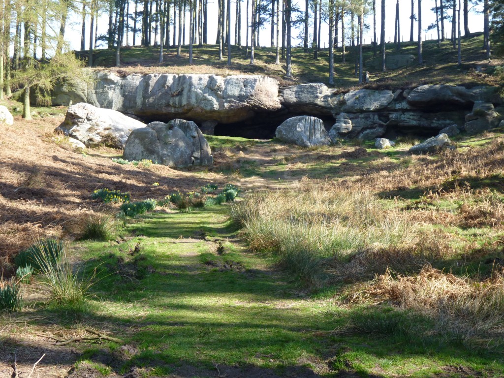
We took a short drive and walk to St Cuthbert's Cave.
St Cuthbert, of Lindisfarne Priory fame, became a bishop then legend has it retired to a simpler life style.
There are apparently two St Cuthbert's Caves. We didn't find the other one.
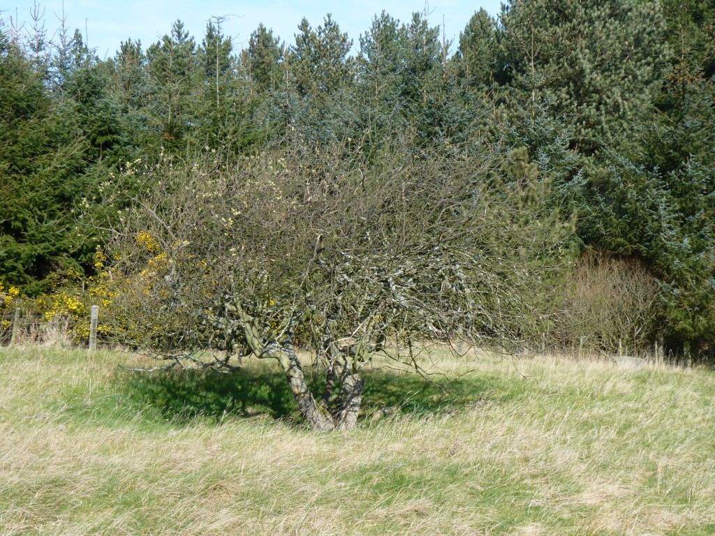
This tree is in a hollow.
The hollow is an old pit from which coal was removed.
There are a number in the area and still one hole being worked.
Its also another of those Ramsay Wetland areas, an old dam in an area of peat bog.
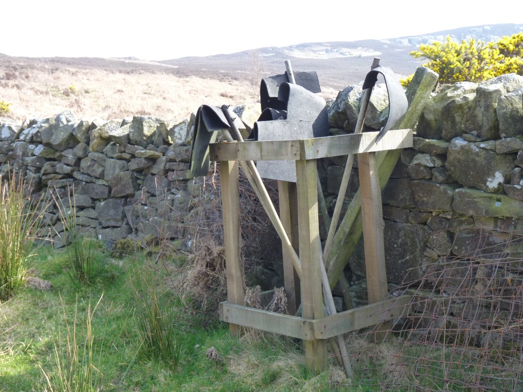
Flappy things used for beating the flames out.
I knew that!