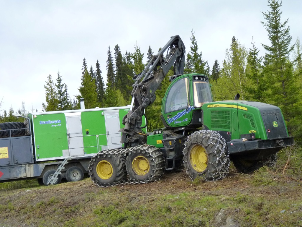
John Deere according to the label.
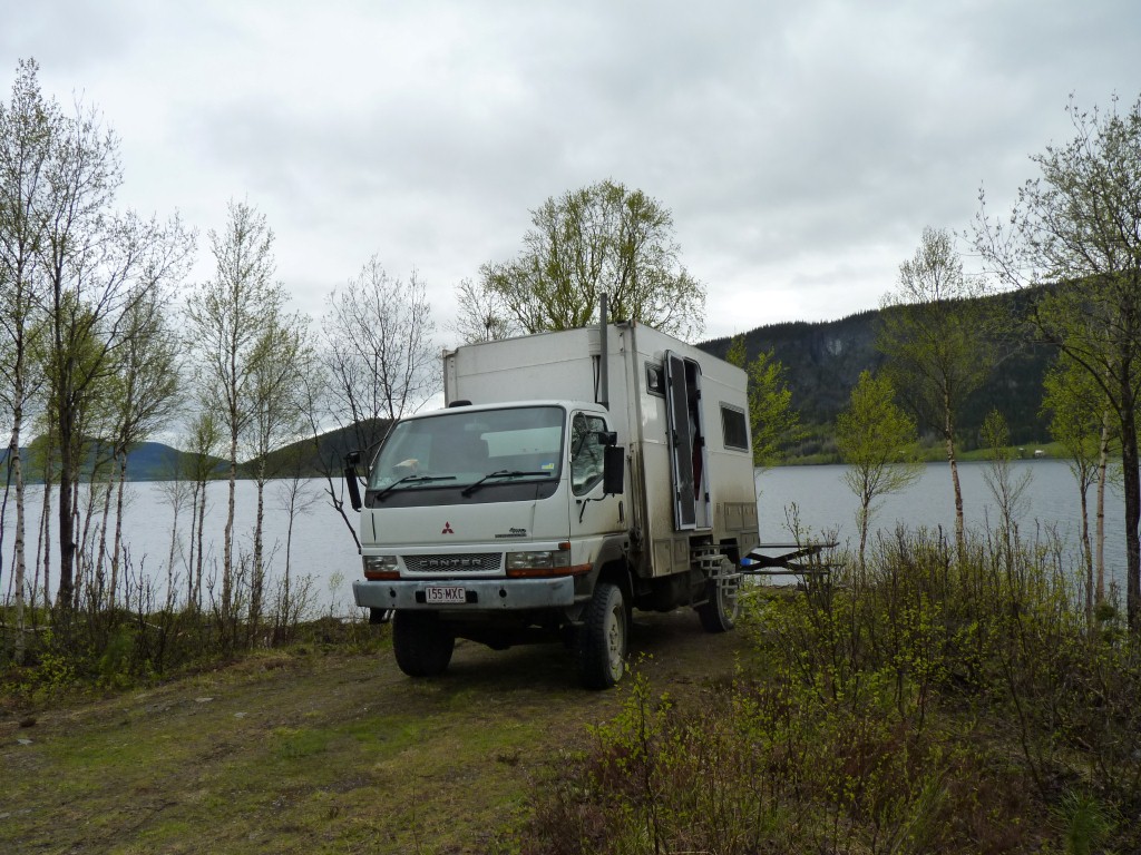
A table behind Tardis, but a bit chilly for outdoors!
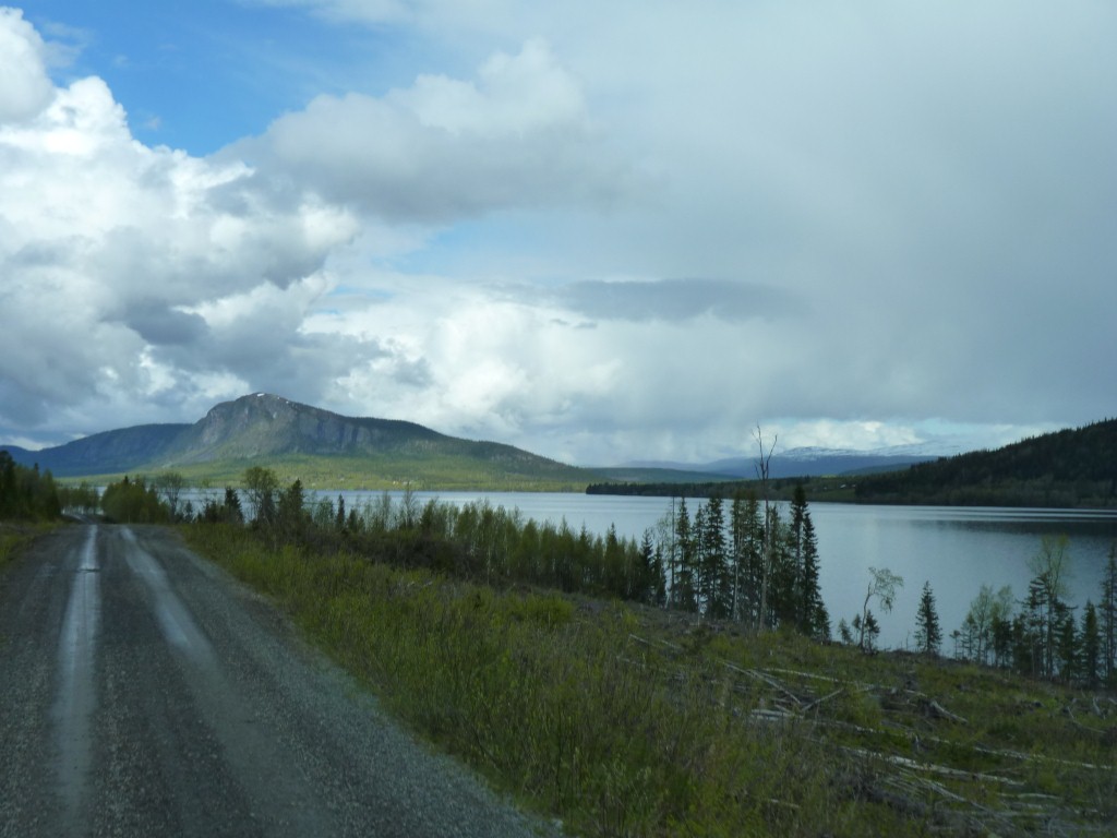
The trees along the lake had been clear felled and scrubby looking birch were establishing themselves.
We've begun to look a bit more closely at the Swedish logging practices. The land is privately owned. The practices aren't perhaps as sustainable as we first imagined.
The light is quite unlike anything we are used to.
Our sense of distance is also somewhat distorted. We think by the clarity of the air.
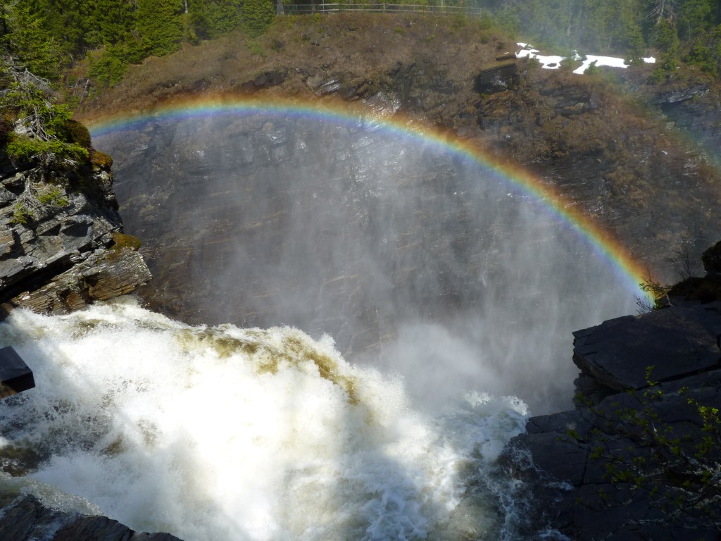
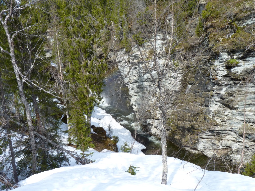
Hallingsa Waterfall we suspect.
This is from the top looking down. A double rainbow - almost impossible to photograph the second one.
We had one of those "we should have" moments the following morning and nearly backtracked to find the track into the lower part of the gorge.
But we didn't - one of those "so much to see and never enough time" things.
We drove close to the lake for too long and had to do an "up and over" to get back on the road we should have been on.
It didn't get any worse than this, and someone else had obviously been aolng here. There was a barrier at the junction which we drove round.
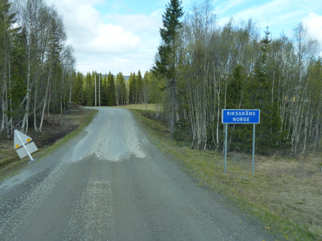
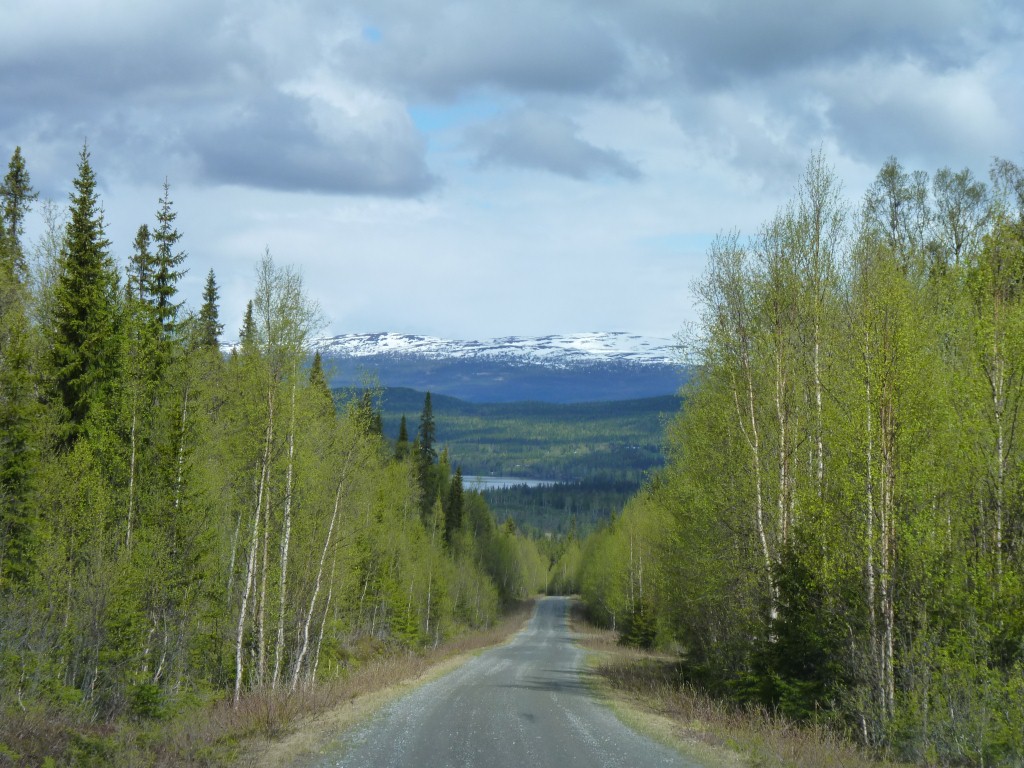
Where unsealed road meets sealed road.
And yes. Before you ask. When we returned to Sweden we returned to unsealed.
Just in Norway for a few km.
We prefer the unsealed roads, despite the occasional potholes.
On all roads the culverts seem to have subsided to varying degrees. On the unsealed they are bumpy. On the seal they are very bumpy.
Nothing special for lots of people. A pleasant interlude for us. A trifle embarrassed at disturbing them.
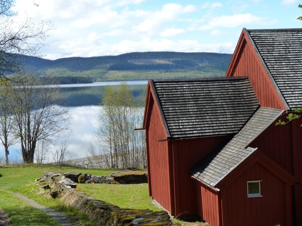
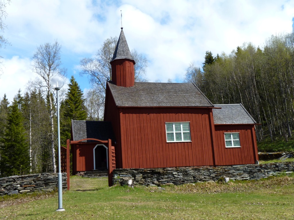
Complete with wooden shingles on the roof and wooden gutters (but no downpipes).
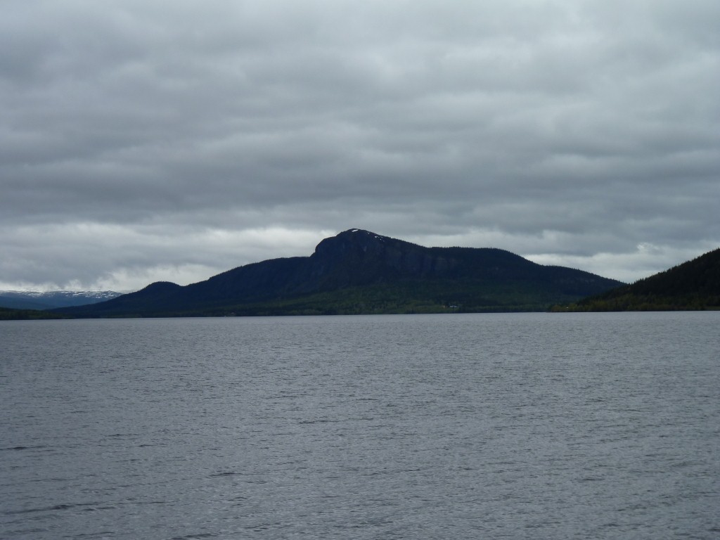
Overlooking Kvarnbergsvattnet - which apparently translates as "the water Kvarnberg".
Viken is on the north of the lake (so it gets the sunshine?). We drove west along the south side and are now headed east again.
Doesn't sound quite right ....
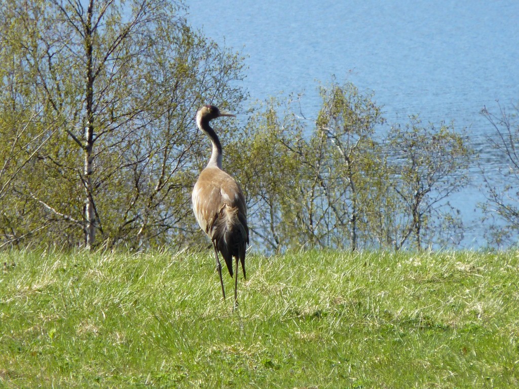
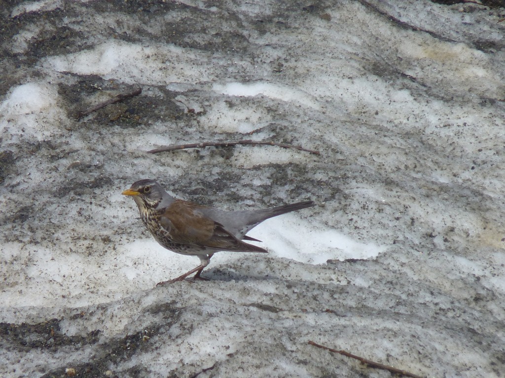
So here's a small bird that visited us. Stood on some dirty looking snow.
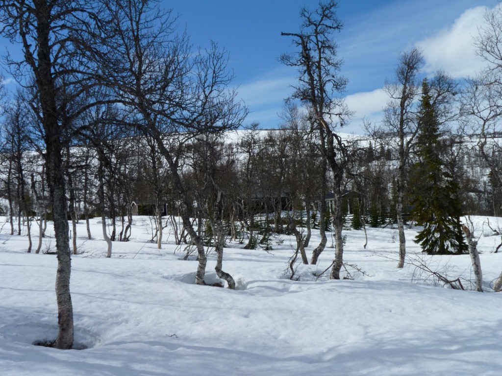
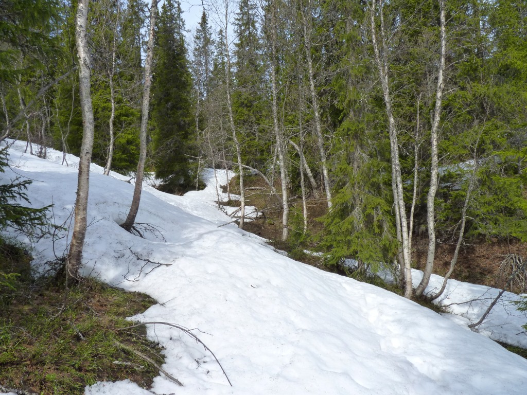
The trees haven't sprung their leaves yet and they are decidedly more sparse than lower down.
We are in the car park for Blasjofjall Nature Reserve.
While its easy to find information on national parks we just have to keep our eyes ready for nature reserves. Fortunately they usually have good contour maps at the track entrances.
When we arrived there was a Swedish couple we'd met a couple of times over the last 3 days. In a Landrover and small caravan.
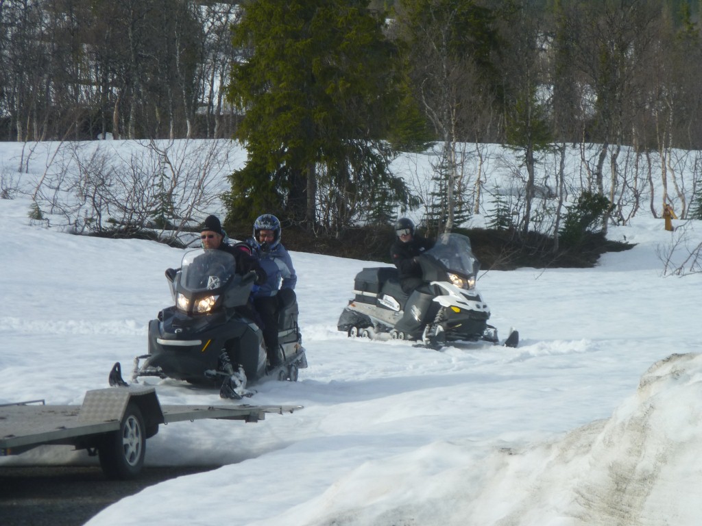
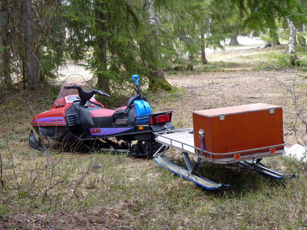
This group of five arrived with van and trailer carrying three sno-scooters.
Returning after an hour or so of fun they drove them onto the trailer and drove off in the van.
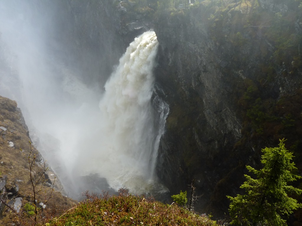
Which quite possibly means Brakka Waterfall. Though the signs say Brakkafallet Waterfall.
We walked about 300m over (and through) the snow.
It looked like a few footprints from a few days earlier to follow but we lost track of them.
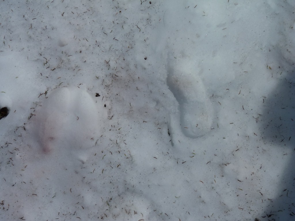
On the left is the footprint of something else.
It was either one big foot (though we couldn't find the other) or something moving both feet at the same time.
We followed just far enough to see the waterfall.
Initially we wondered whether we should have carried bicycles on the trip.
Now we are wondering if we should have carried bicycles, motorbikes, sno-scooters, skis, kayaks, canoe, rafts, jet-boat, and a few other things we haven't quite realised we need yet. We are too old for climbing ropes!
At least we'd only need one crash helmet each!
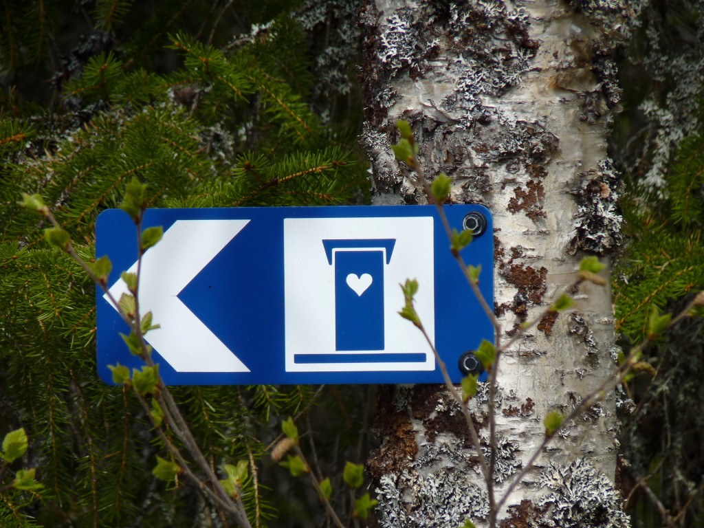
This is the quaint (to us) sign commonly used in Sweden to indicate the loo.
Apart from the loo there are sno-scooter and walking tracks.
Its on the edge of Daimadalens Nature Reserve.
Just beyond the nature reserve sign is one that announces "Valkommen Till Skoterlandet, Frostviken".
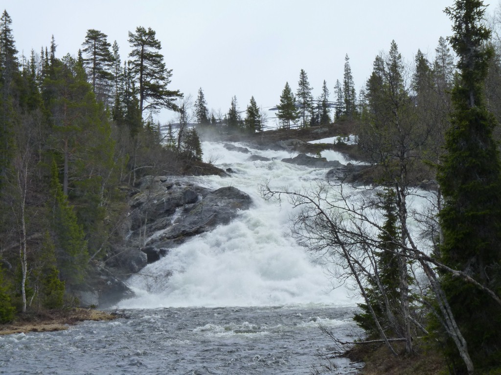
We think Lejarfallet is the waterfall on the Lejaralven (river) which flows from Lejaren (the lake) below Lejarfjallet (the mountain). About on a par with the Scottish Gaelic for knowing where we are when reading maps.
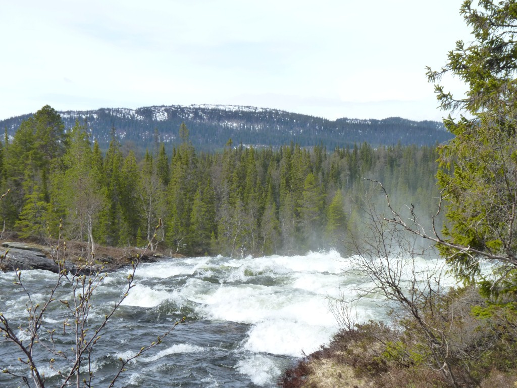
The water in the river is in a big hurry to get to the next lake and eventually to the Baltic Sea.
Difficult to describe what "in a hurry" means. Just that its one of the swiftest rivers we've seen, and the swiftest we've seen have all been in Sweden.
And, unlike the tannin stained water further south its crystal clear.
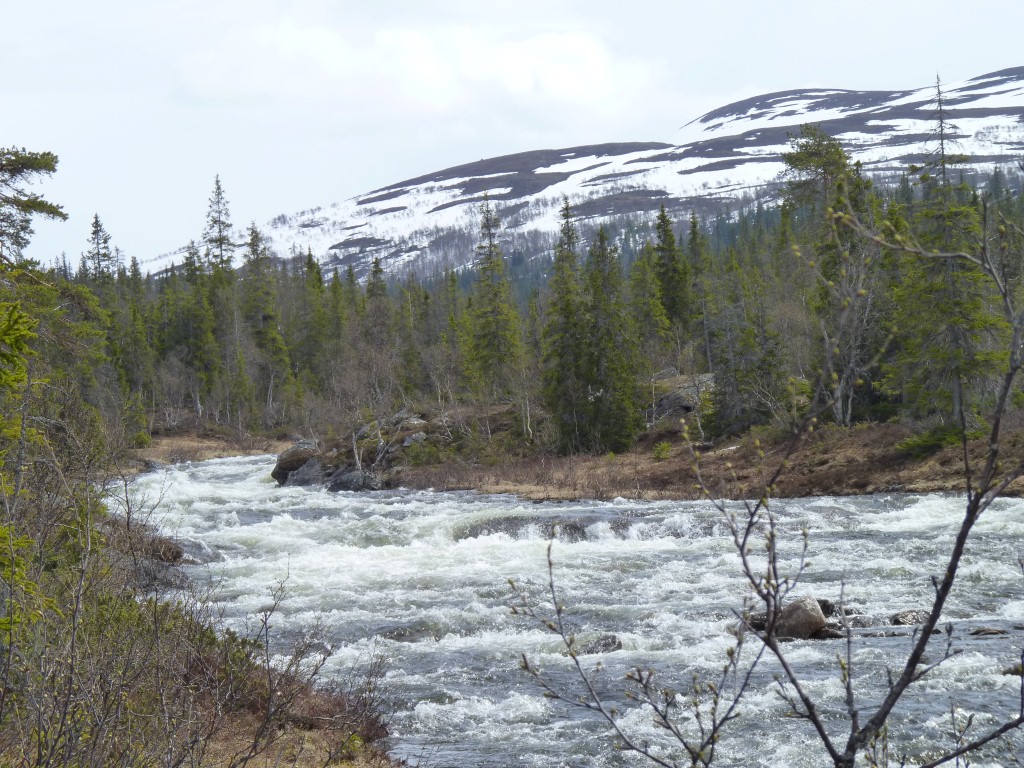
But we felt our navigation skills wouldn't be too challenged as long as we stuck with the river.
And so we arrived at the top of the waterfall.
More of a waterfall than a cataract.
While stepping over tree roots on the track we couldn't help imagining replacing the firs with beech, then adding a few ferns, to transplant ourselves to forests in the south island of New Zealand.
Lots of happy memories of a far away place.
Out of interest (yes, we still have some left), we are a long way from the antipodes of Ali's (and daughter Jennifer's) birthplace in Invercargill (46 degrees south). We are 64 degrees north. Home in Brisbane is about 27.5 degrees south. For the geometrically challenged our antipodes would be somewhere along the line of latitude at 64 degrees south - the middle of the Southern Ocean and the edge of the Antarctic..
We are still in the northern temperate zone. But not far now. The Arctic Circle is at 66.56 degrees north this year. No wonder there's snow and long days!
The position of the Arctic Circle depends on the tilt of the earth, which changes. The circle is drifting north at about 15m per year.
We will of course find a convenient hillock to make sure we see all of the sun at least once at midnight!
He/she belonged to a couple of Swedes making use of Sweden's national day for a night camping.
He worked for the government. Concerned at the large number of eggs from mountain birds that were being poached. Upwards of 5,000 for the people they recently arrested. Among them falcons' eggs.
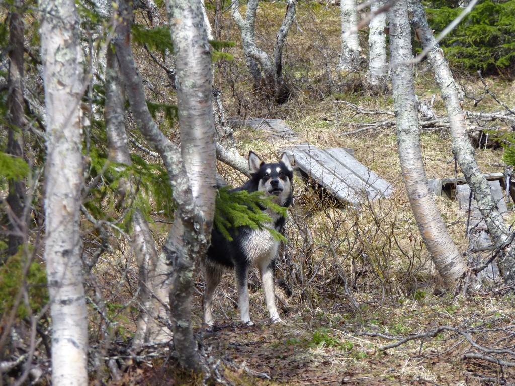
When the river is lower he hunts moose on the other side.
The dog was really quite friendly.
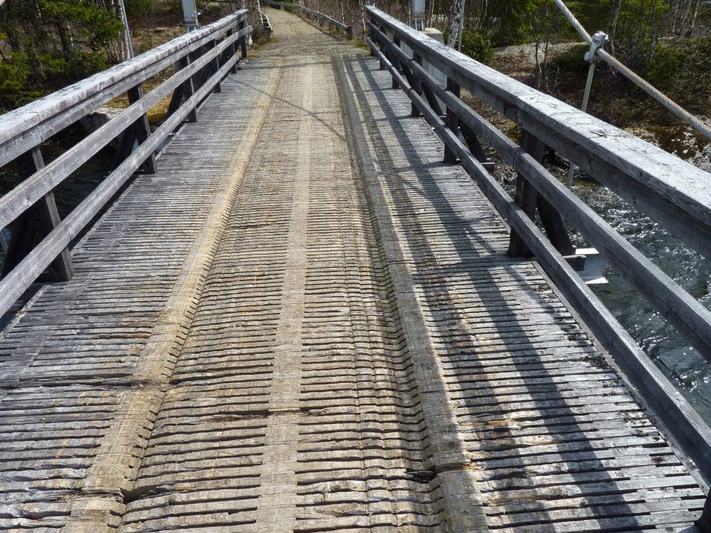
We assume the furrows are from sledges.
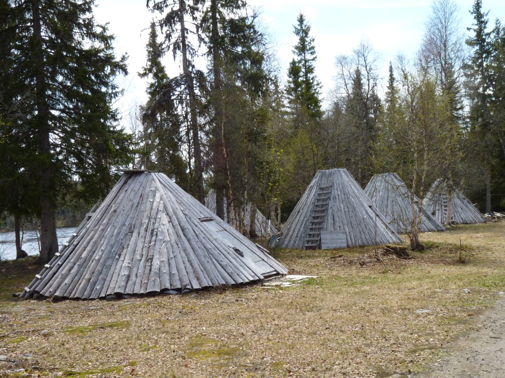
Ankarede is a bit of a tourist destination.
We are not sure whether these (presumably) Sami style huts are for tourists or for local herders.
The village is described as a Sami Culture Centre.
We saw only a few cars.
We could have obtained the key from the cafe across the road - but it was also closed.
Judging by the number of people we've met we are here a bit early in the season.
We are camped for the night next to a fishing lake. By 6pm we've seen at least 4 motorhomes headed towards Ankarede. Its a cul-de-sac but none have returned.
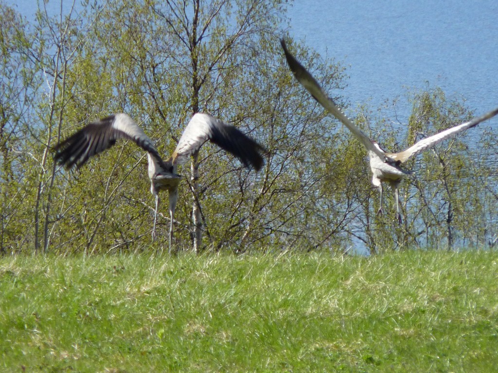
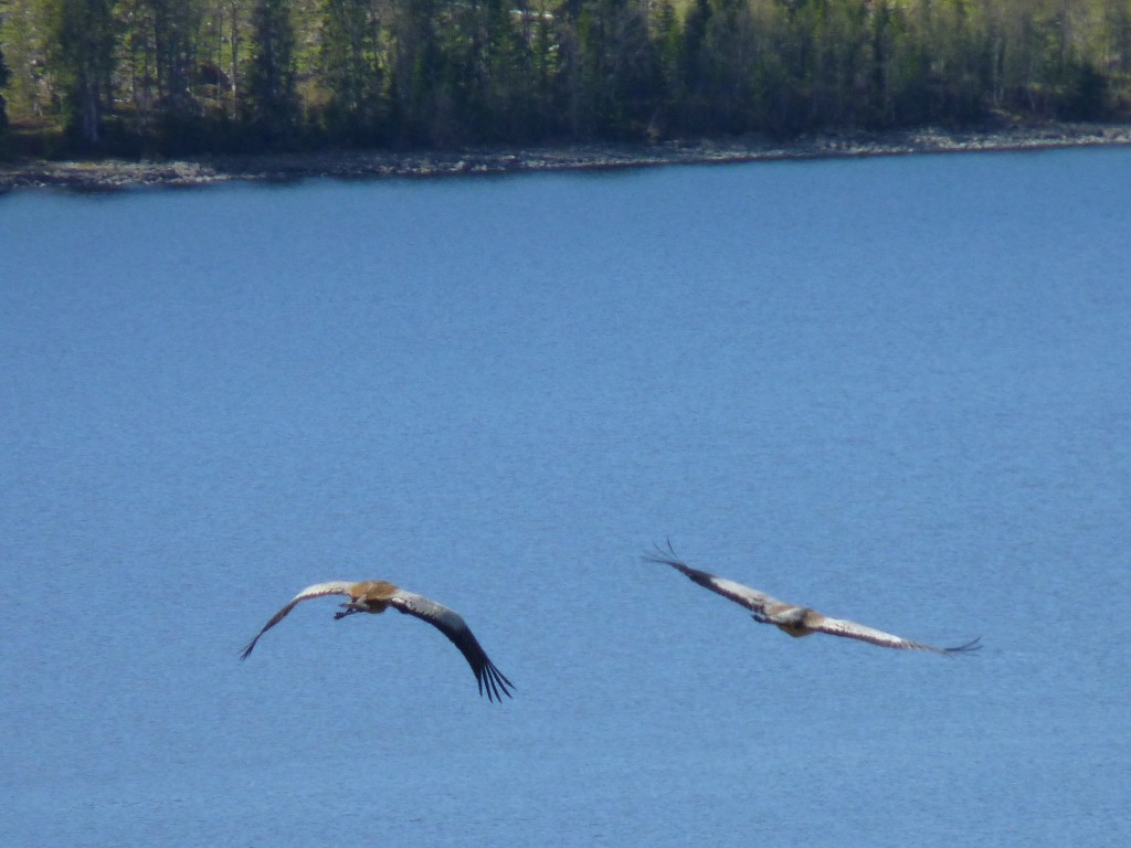
We couldn't understand what had disturbed a couple of geese.
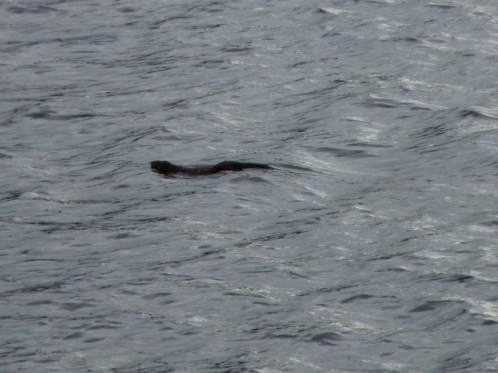
Too far away for us to see but it looked like there was something else in the water.
Later we had a visit from this chappie.
At first we thought it was an otter but that didn't quite seem right. Its a lake not a river and it seemed a bit high in the water. We finally settled on beaver after a bit of research. We'll keep looking, maybe it will return!