From Ballasalla around the north of Ronaldsway Airport and return around the south side.
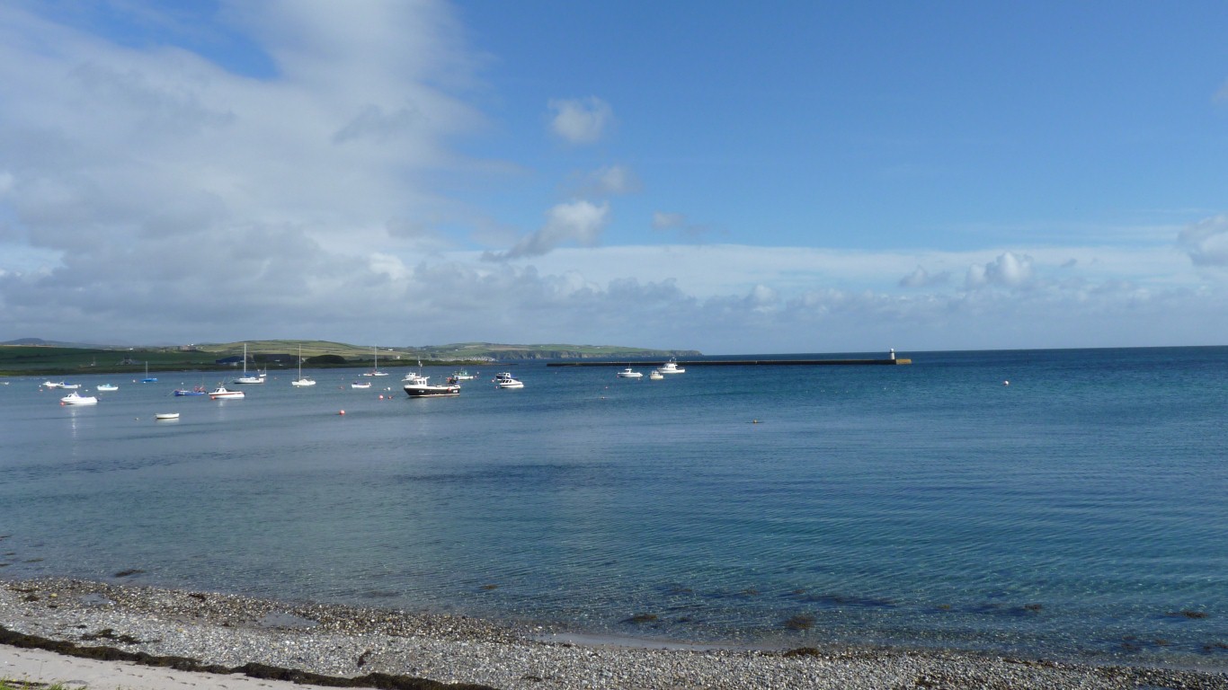
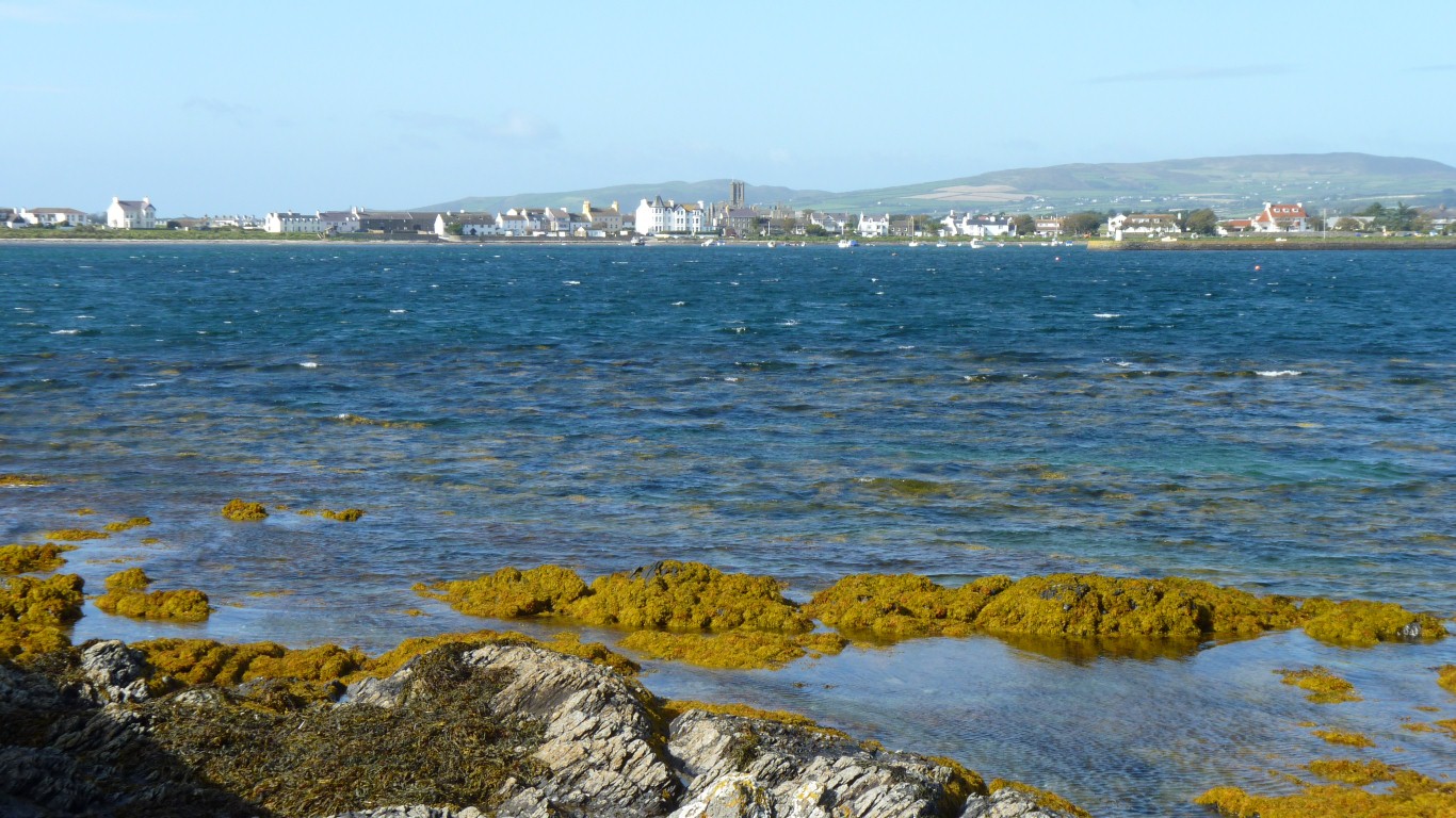
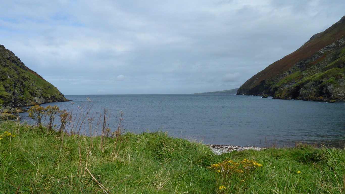
This is looking across Derbyhaven.
There's a causeway!
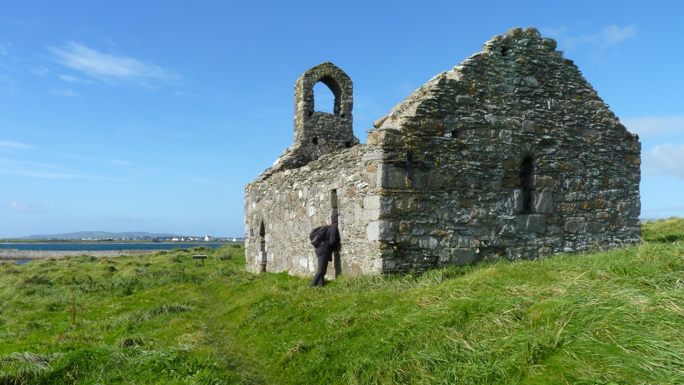
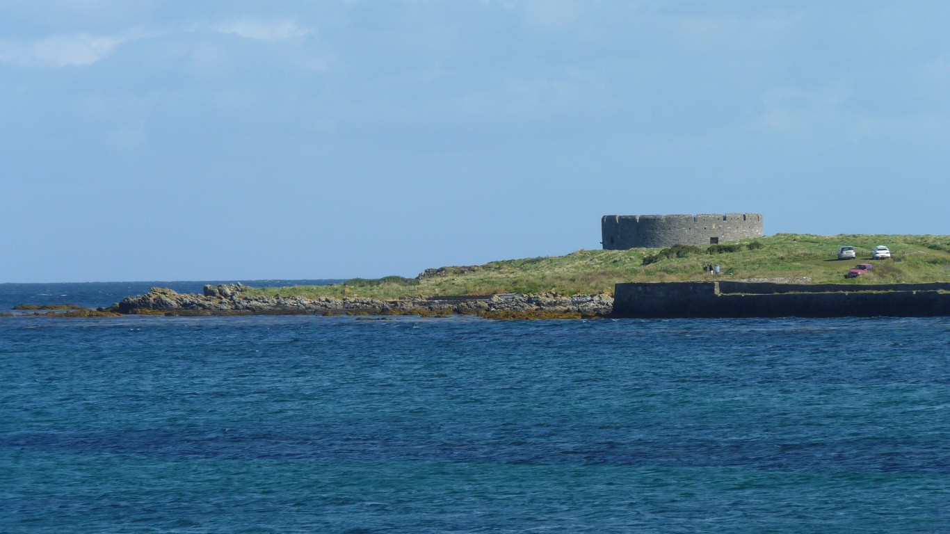
This is what's left of the 12th century St Michael's Chapel.
Built on the site of an older chapel before the parishes were created.
It protects the safe anchorage of Derbyhaven which would have given access to Castletown.
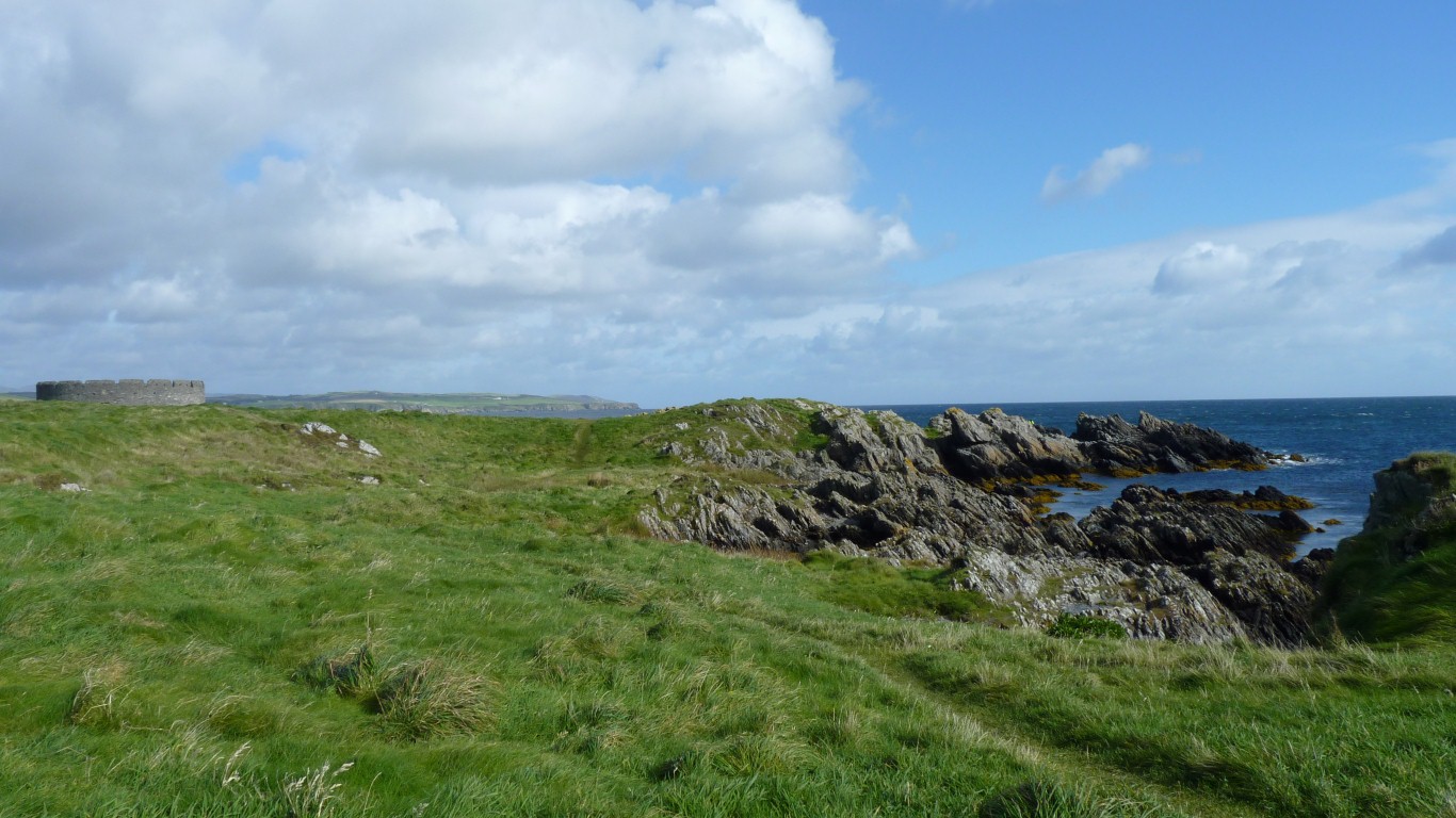
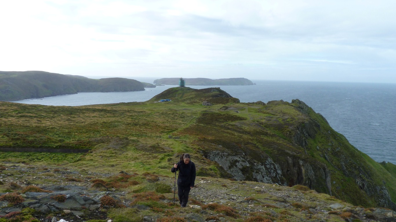
Rather than walk to the lighthouse at the end of Langness we decided to return to Ballasalla.
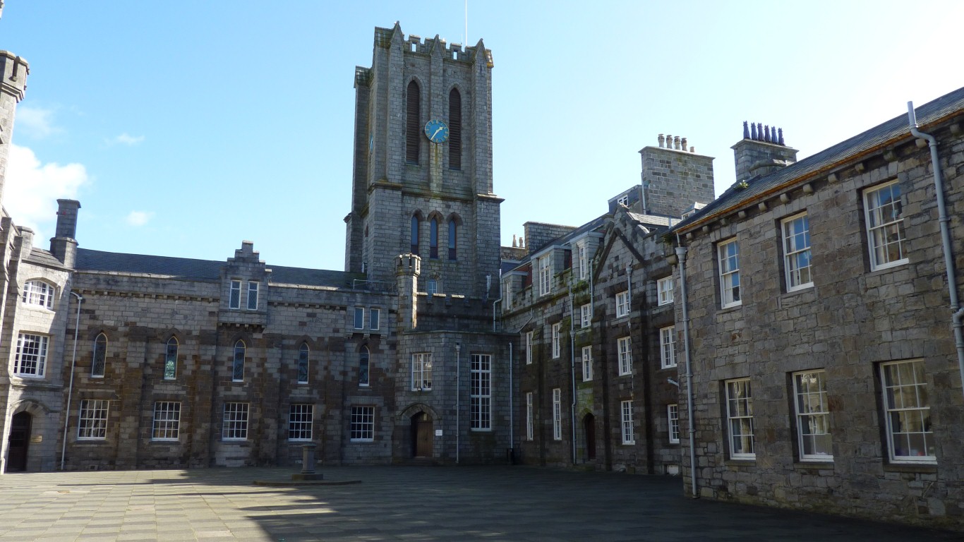
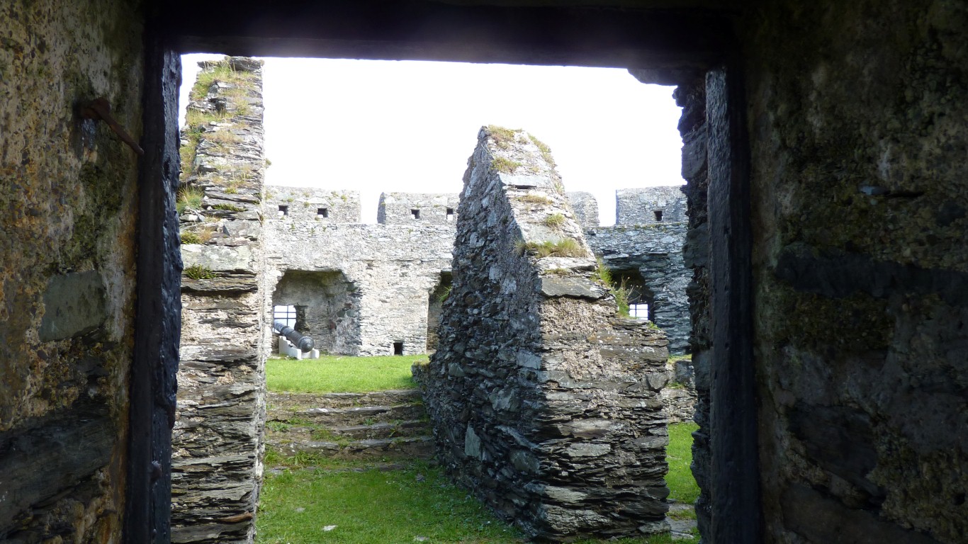
We peaked into the central quadrangle - I occasionally played chess here. A cold miserable uninviting place on a winter's evening.
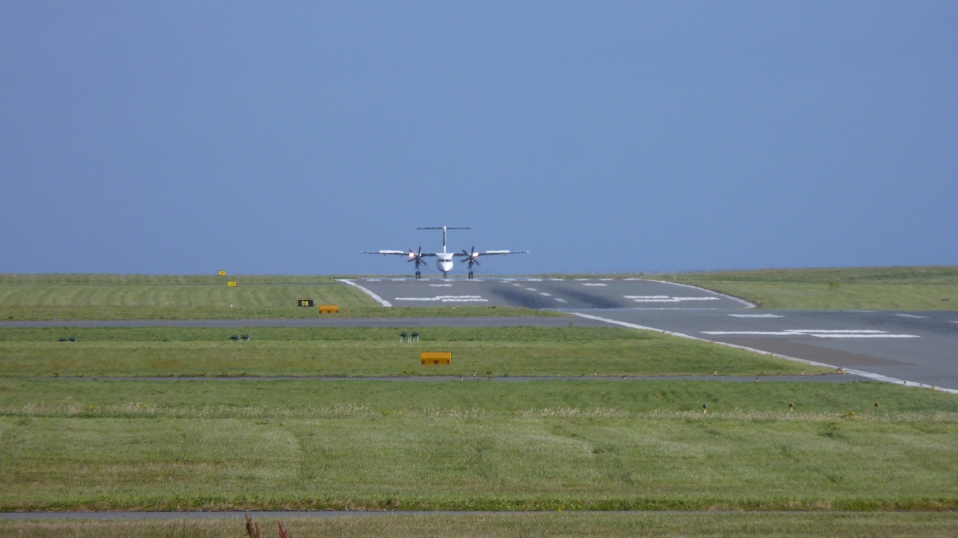
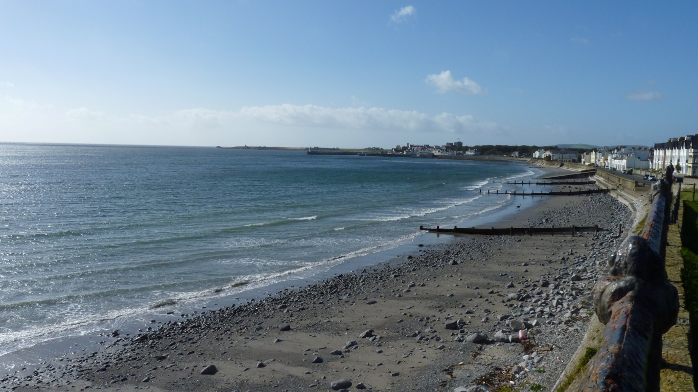
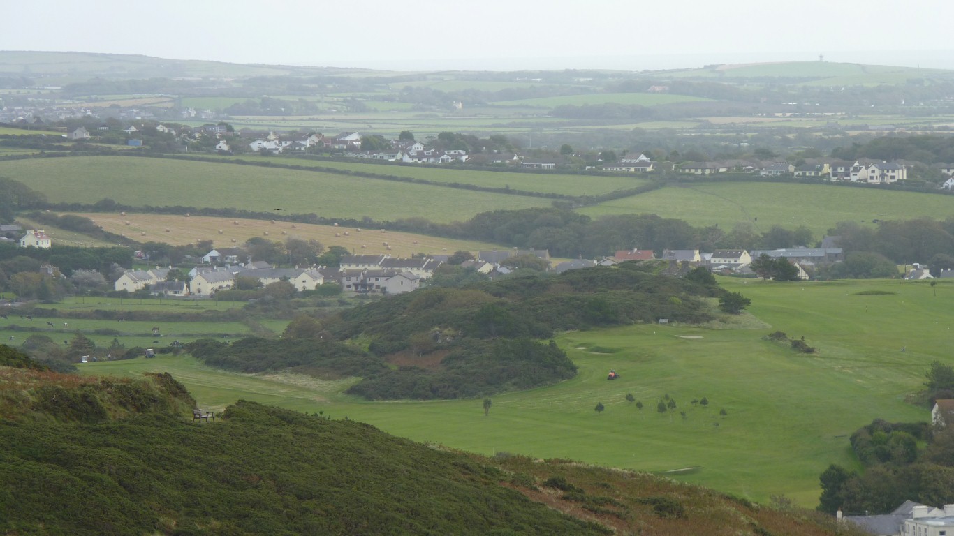
Ronaldsway is a busy airport for a small island.
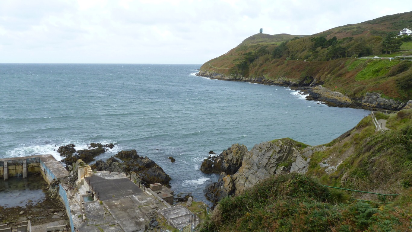
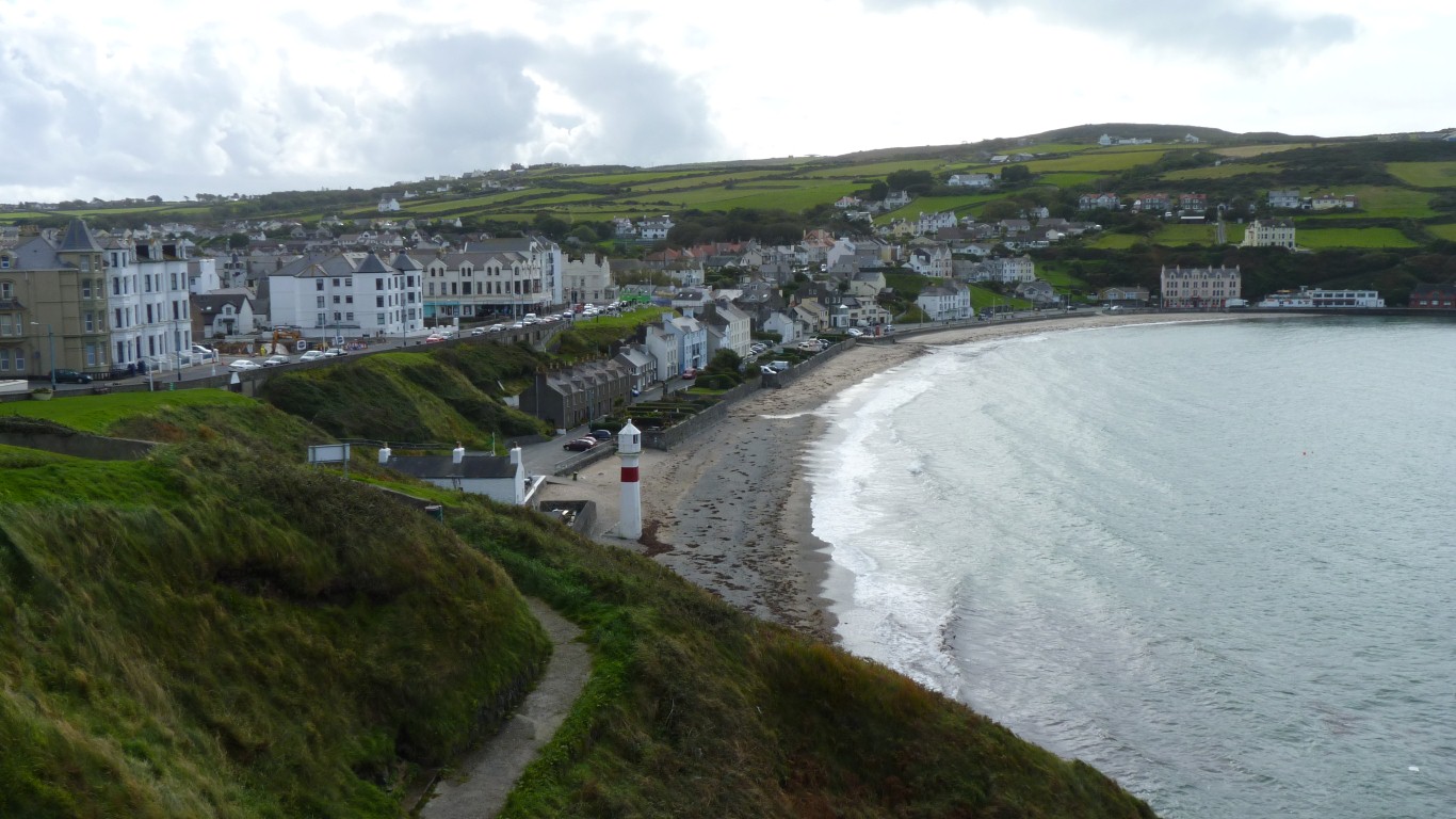
The bay to the right is Spaldrick. Bottom left corner is the now derelict salt water swimming pool in which I learned to swim.
Sad to see its state. As late as the 1960's there were weekly swimming galas. It wasn't heated and was murkier than the sea, but that didn't seem to matter..
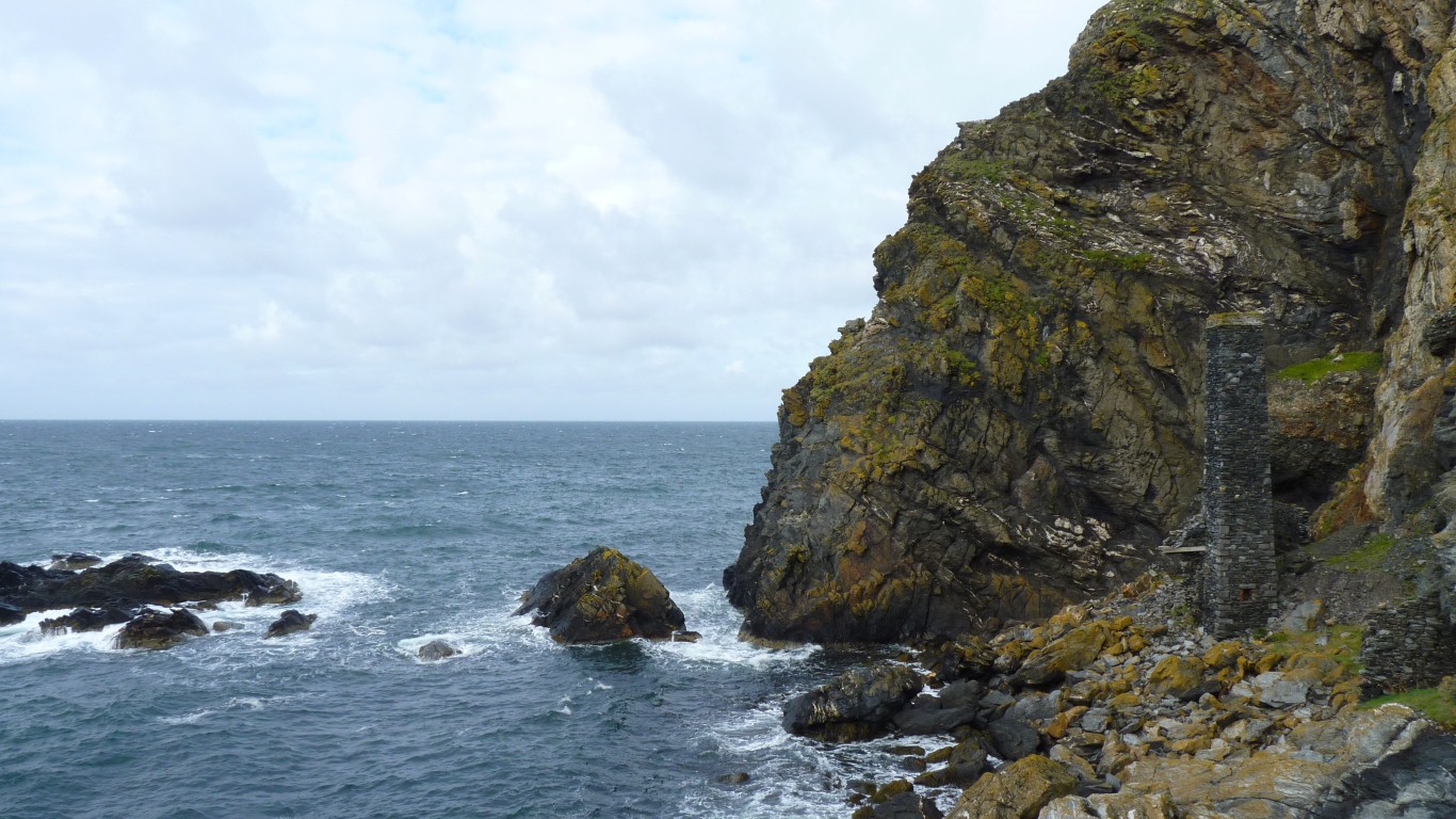
Principally copper until around 1900. Its in that pillar at the right hand edge of the photo.
Round the corner is North Bradda mine. Accessible only from the sea. The other end of the same ore body.
There's an adit at sea level and another heigher up the cliff.
Briefly described as "Motte and Bailey" in one of the interpretive panels at Castle Rushen.
I guess it wasn't developed further.
I remember it as somewhere to explore and play in when young.
Milners Tower is being repaired. Its a monument to Milner, a Liverpool lock smith.
I've never been able to establish any link with Legge locks (with three legs symbol) seen in Australia.
The 1931 world photographic competition winning photograph was taken from the knobbly bit on the right. Not sure which way the photographer was facing!
The keeill we visited a few days ago is a third of the way up the hill from the sea, about a tad to the right of centre in the photo.
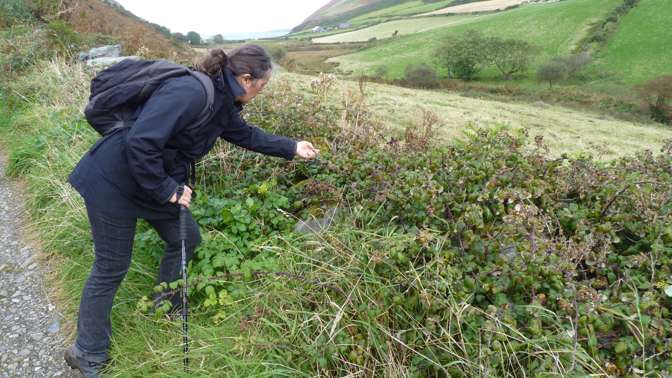
What else are hedges for.
We used to pick them and make pies. Picking took forever, pie making a bit less, and eating too little. Equally enjoyable for different reasons.
Perhaps symbolic of something simple we seem to have lost in the complexities and urgency of modern living.
In summer months I used to rise early and walk this circuit round Fleshwick, returning in time for breakfast.
Feeling a bit older!
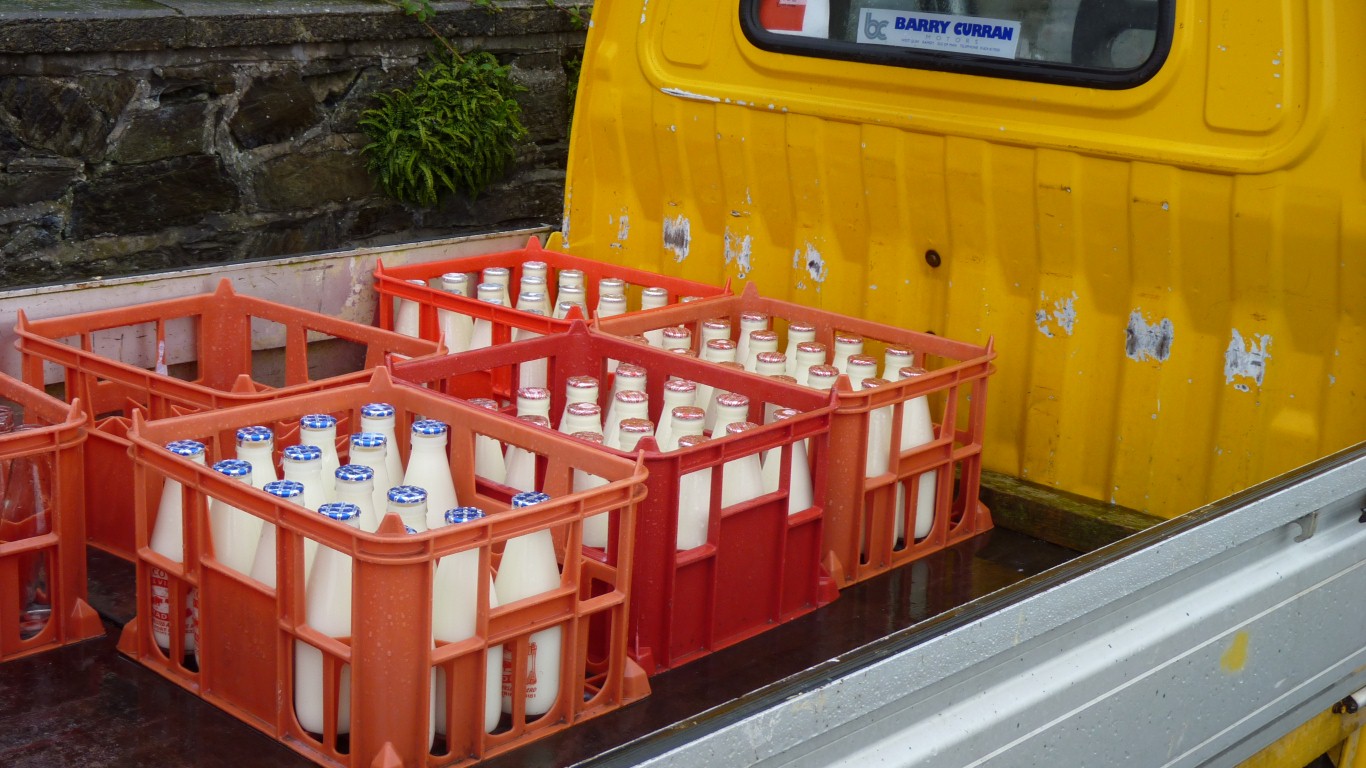
At Coolill's farm.The milk bottles I occasionally helped deliver.
There were some cartons just off the photo.
It amuses me to contemplate the re-use of bottles that was replaced with disposable packaging which we now try to recycle.
Apart from exhaust fumes and waste water our biggest problem on the truck is disposing of packaging.
This time we took the shortest path to Fleshwick and climbed to the north.
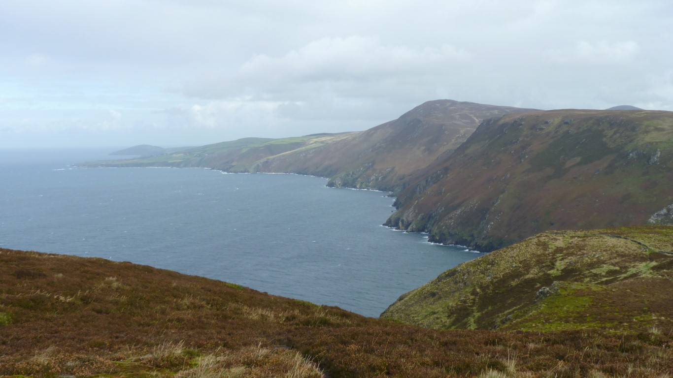
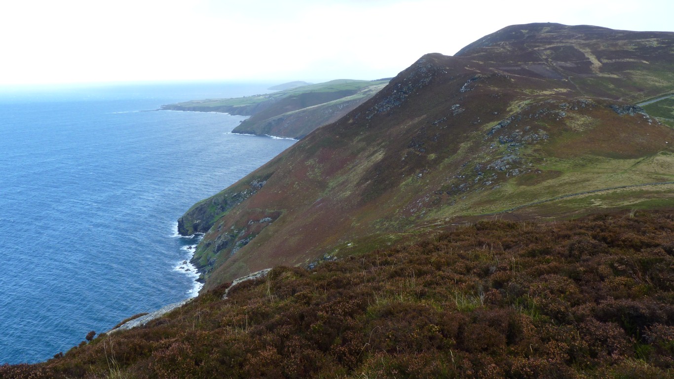
Looking back over Bradda and Port Erin towards the Calf Of Man.
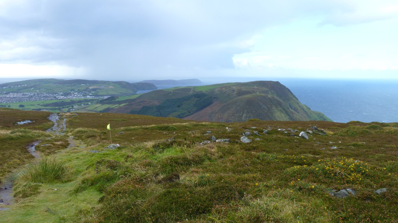
The flag isn't part of a golf course. Its a leftover from a long distance race which used this track.
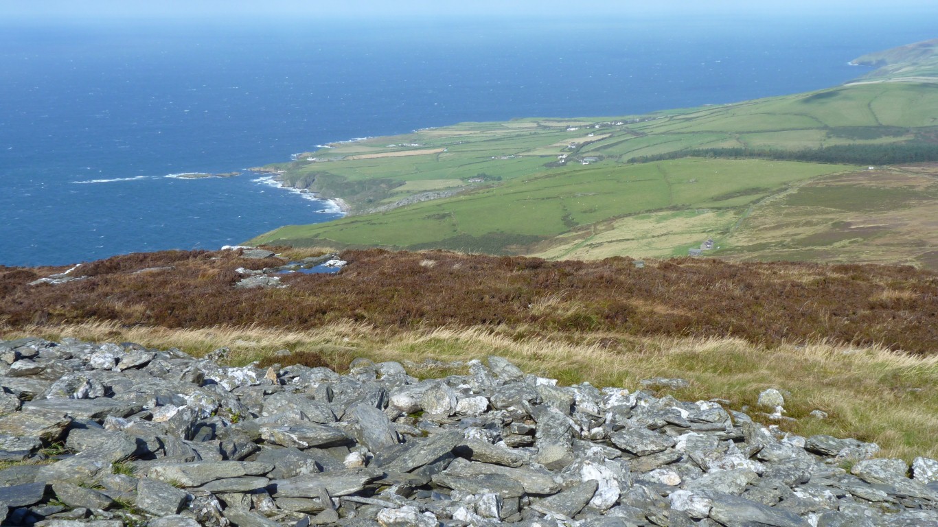
Sloc is below us, but still a long way above the sea.
We can look from the top across to South Barrule. We were there a few days ago.
And in the distance on the left is Glen Rushen.
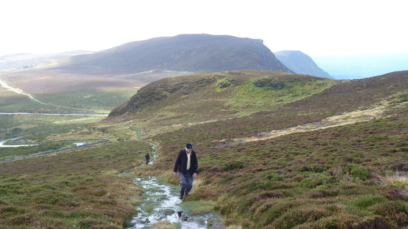
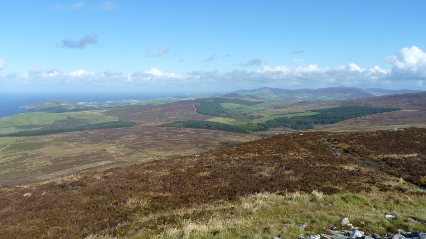
Not far now.
We have two hours to catch the bus to Peel.
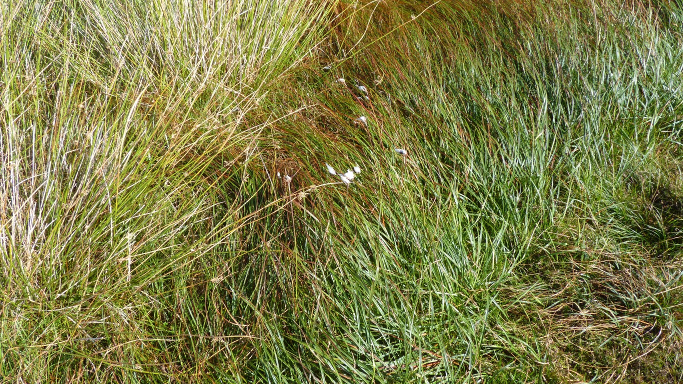
Just a small clump of it but there it is. The only clump we've seen.
Cotton grass.
Last seen in Scandinavia.
As the day wore on the wind persisted but the sun kept trying to come out.
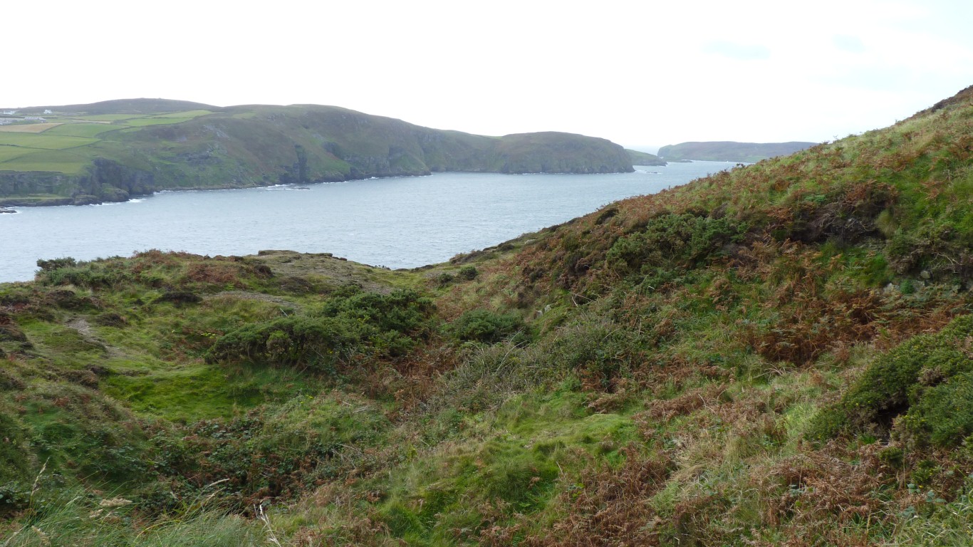
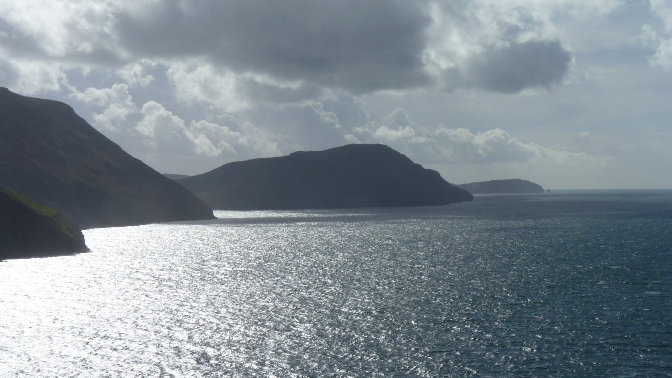
Looking south.
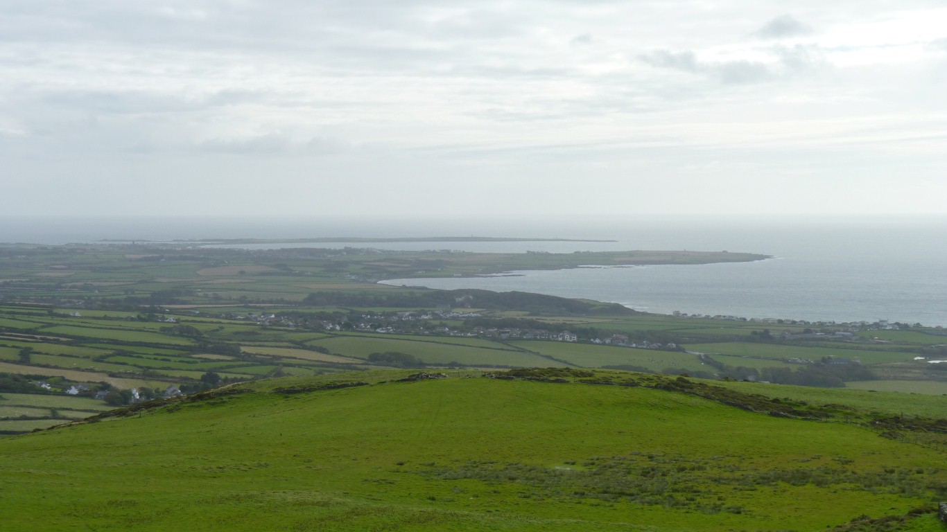
The first inlet is Fleshwick, then Port Erin, and the Calf in the distance.

Squeezed a bit for time as our start was delayed by bus problems we are wondering if we'll be in time for the bus home.
Perhaps I've watched too many tv documentaries and feel the urge to introduce some artificial drama into the proceedings. Note for self - it doesn't matter if we miss the bus.
The slate has been tilted by the forces of geology so it appears as slabs on a relatively steep hill. A bit slippy.
We caught the bus!
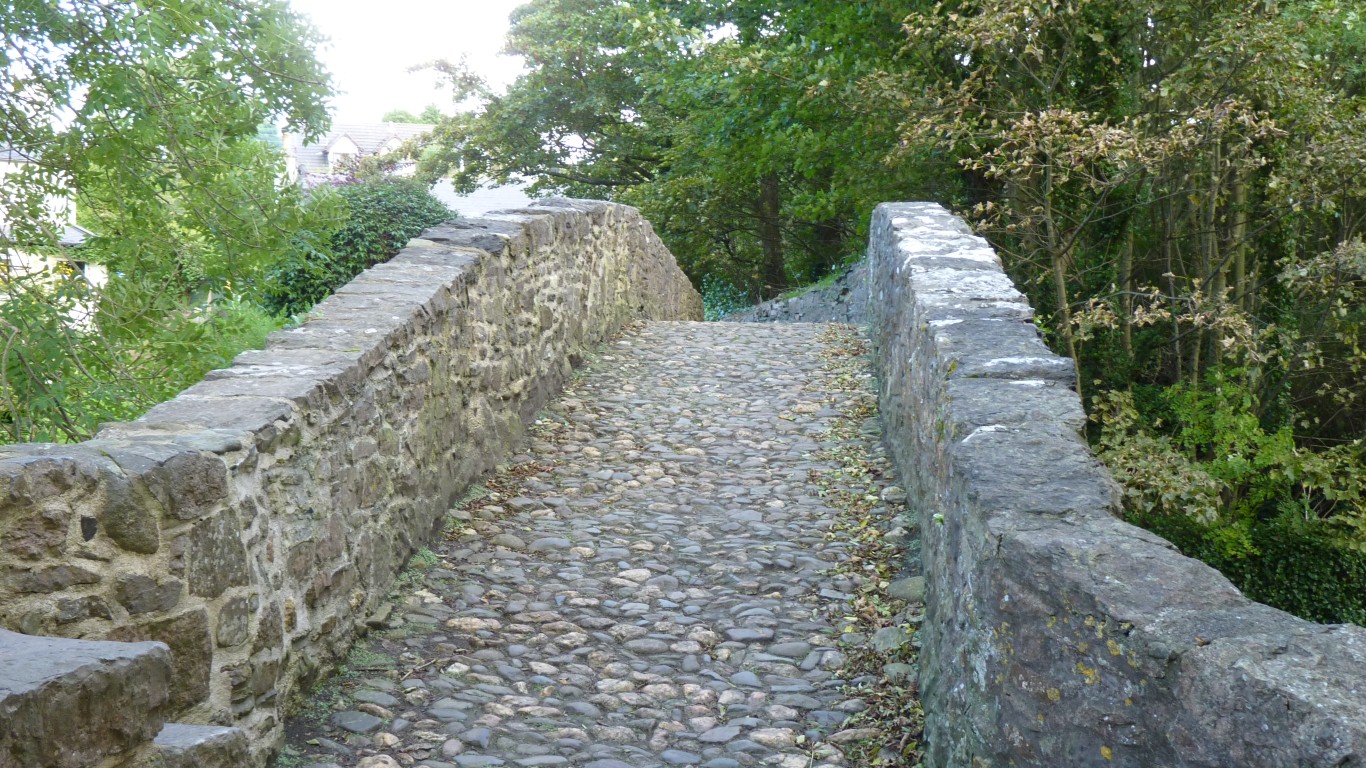
A quick walk along the Silverburn to Monks Bridge. Just the right size for a pack horse.
Last minute memories of childhood walks including this bridge from Ballasalla train station to Silverdale (small boating lake) and playground).
The religious connotations of the gothic arches are hard for me to escape. Most bridges are built with rounded arches rather than pointed.
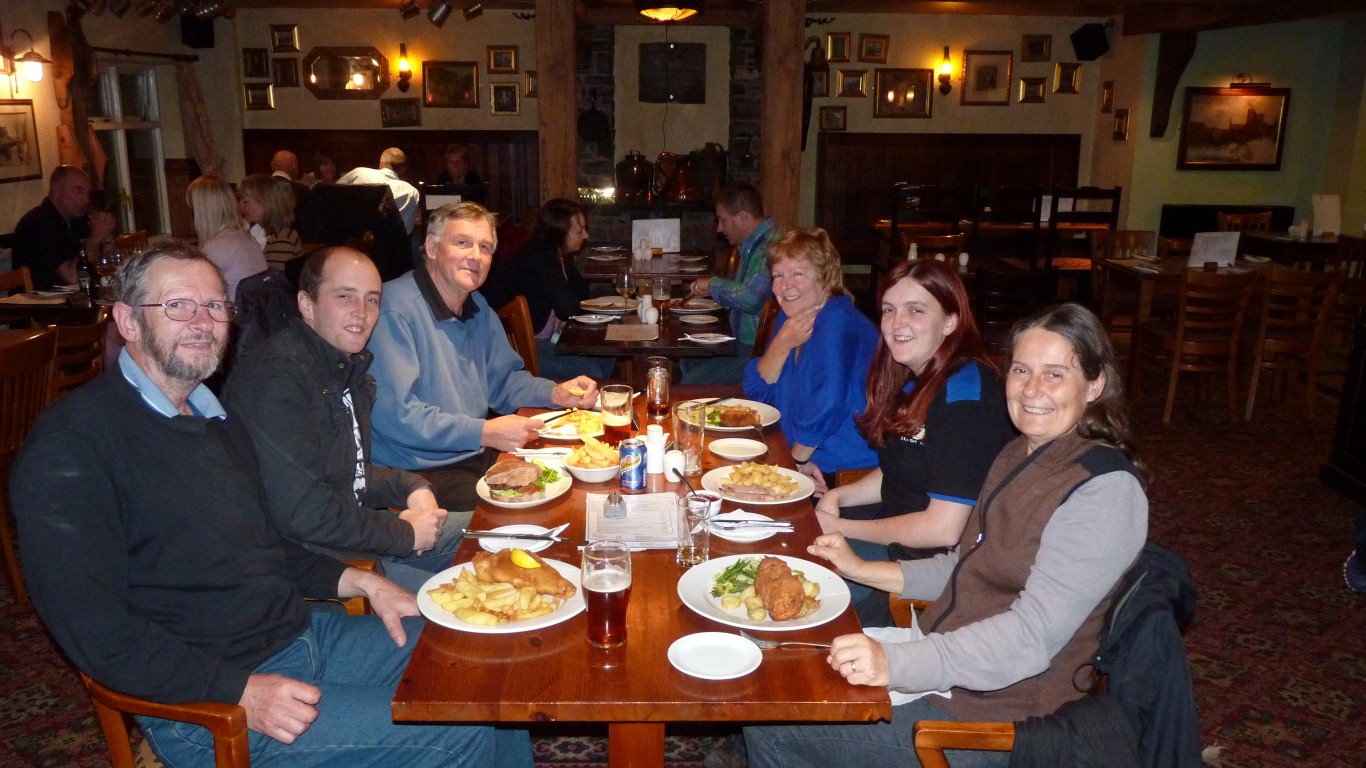
Fish and Chips again! I don't do mushy peas.
From left to right and front to back. Me, Ali, Mark and Kirsty (nephew and niece), brother Al and sister Hermione.
Like many times on this trip we've wondered when we'll pass this way again. But this time with a bit more significance.
A magical mixture of history, the simple pleasure of walking the hills and coastlines, and, most importantly, time spent with the relies.
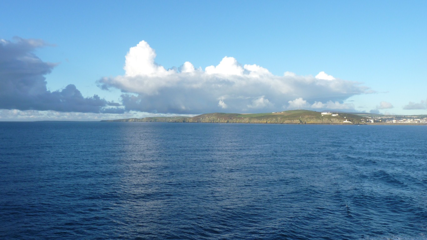
The wind has subsided and the 3 1/2 hour crossing is smooth.
Just right for a long moment of quiet contemplation on the meaning of life and, in a sense, the beginning of our return to Australia.