
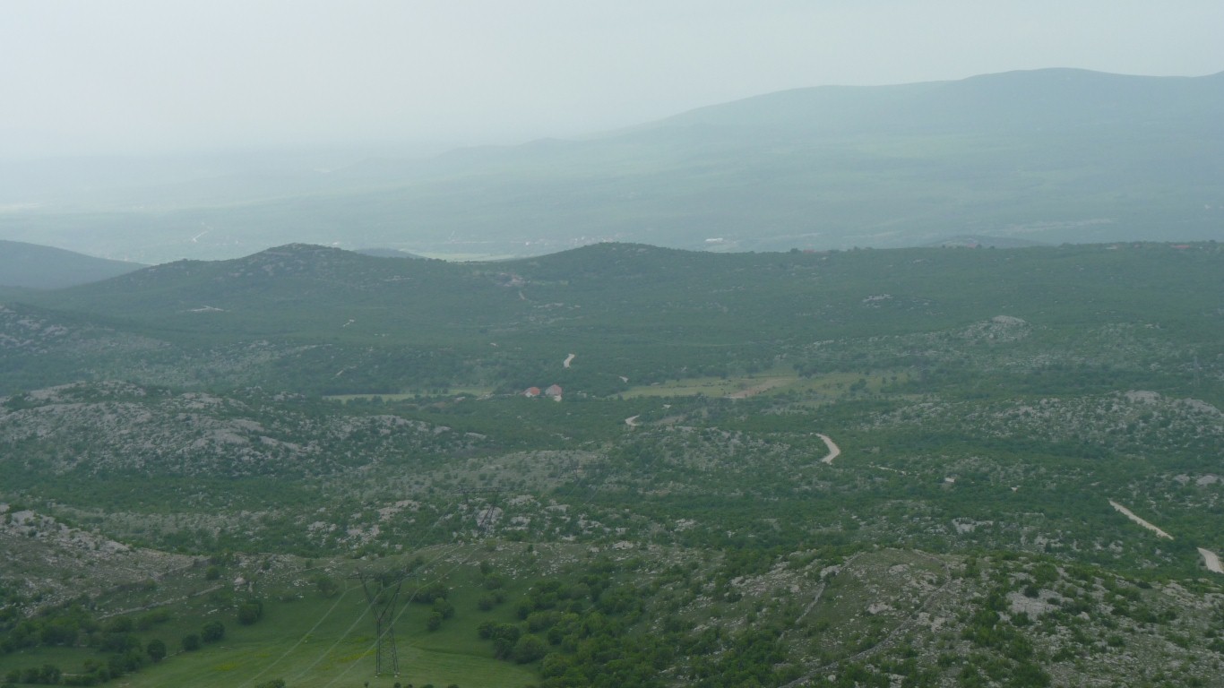
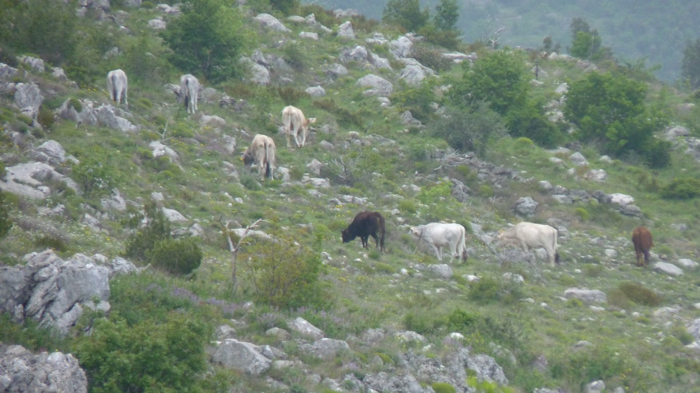
It looked like grazing land but we saw no animals.
And the occasional large quarry.
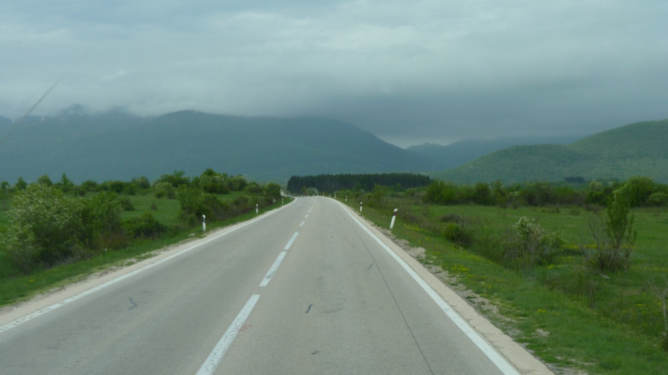
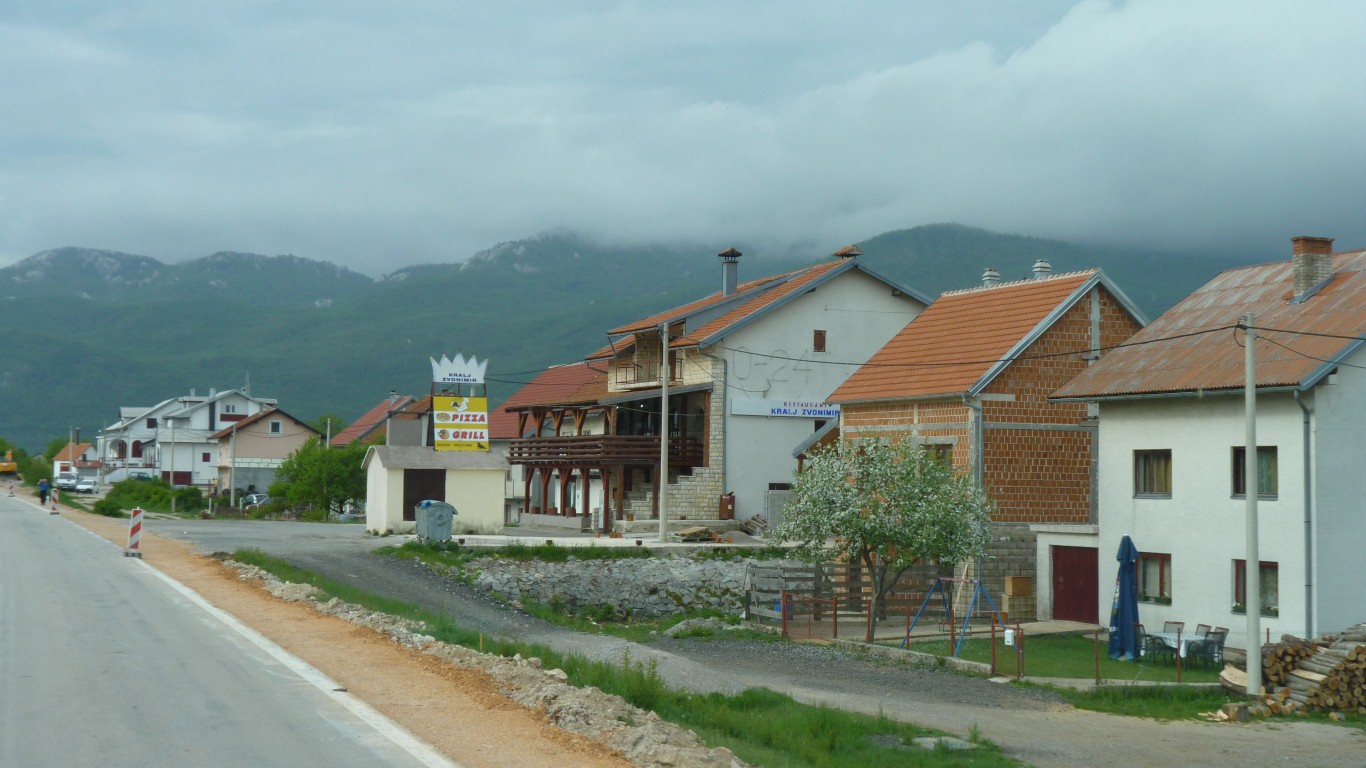
Infrequent small villages in this area.
A bit strung out along the road, all very civilised looking.
Seemingly no centre. No religious building. No obvious history.
Not too far from the top of a pass.
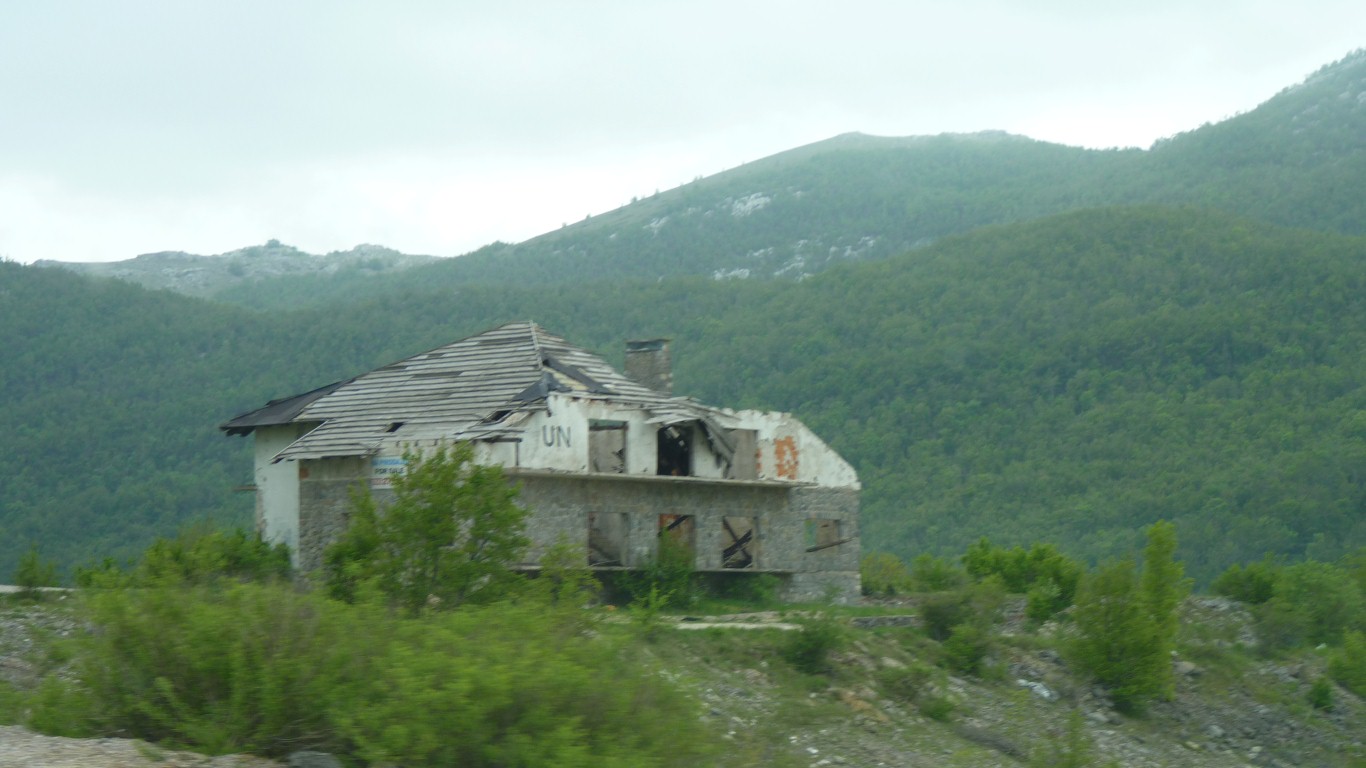
Maybe someone's dream shattered by war.
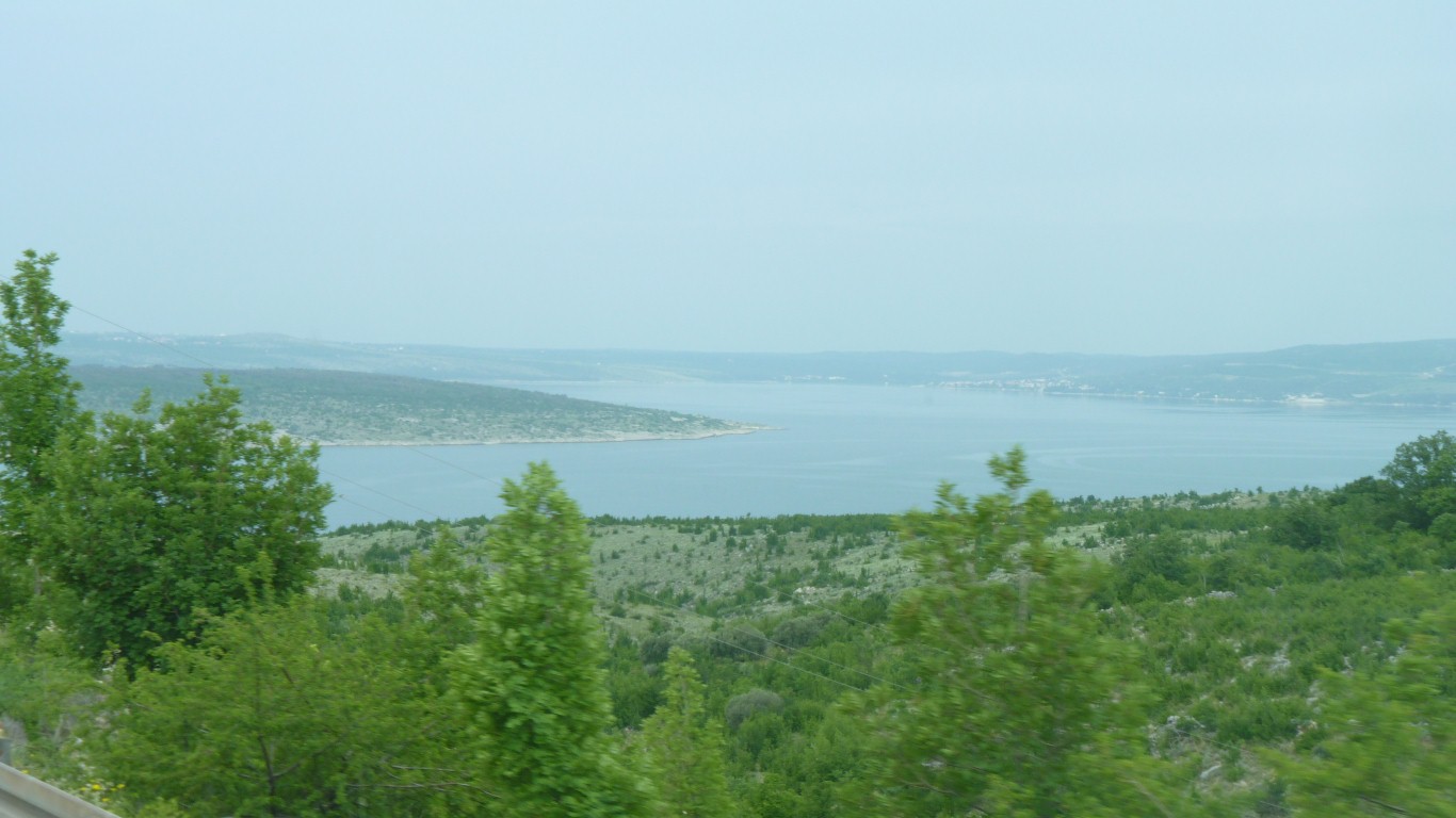
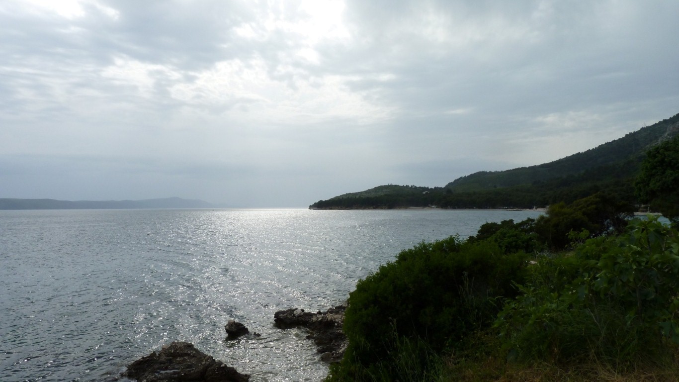
The Adriatic part of the Mediterranean.
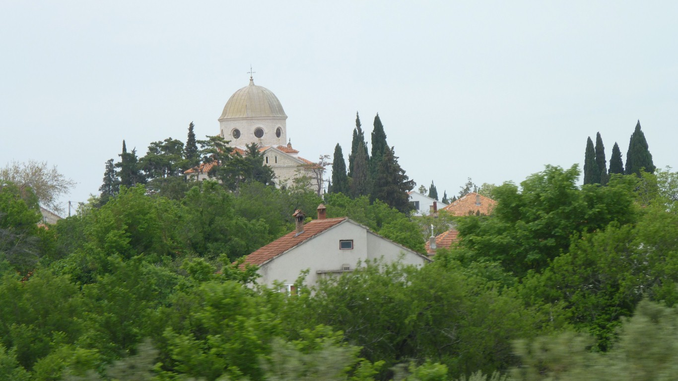
It has a cross on top!
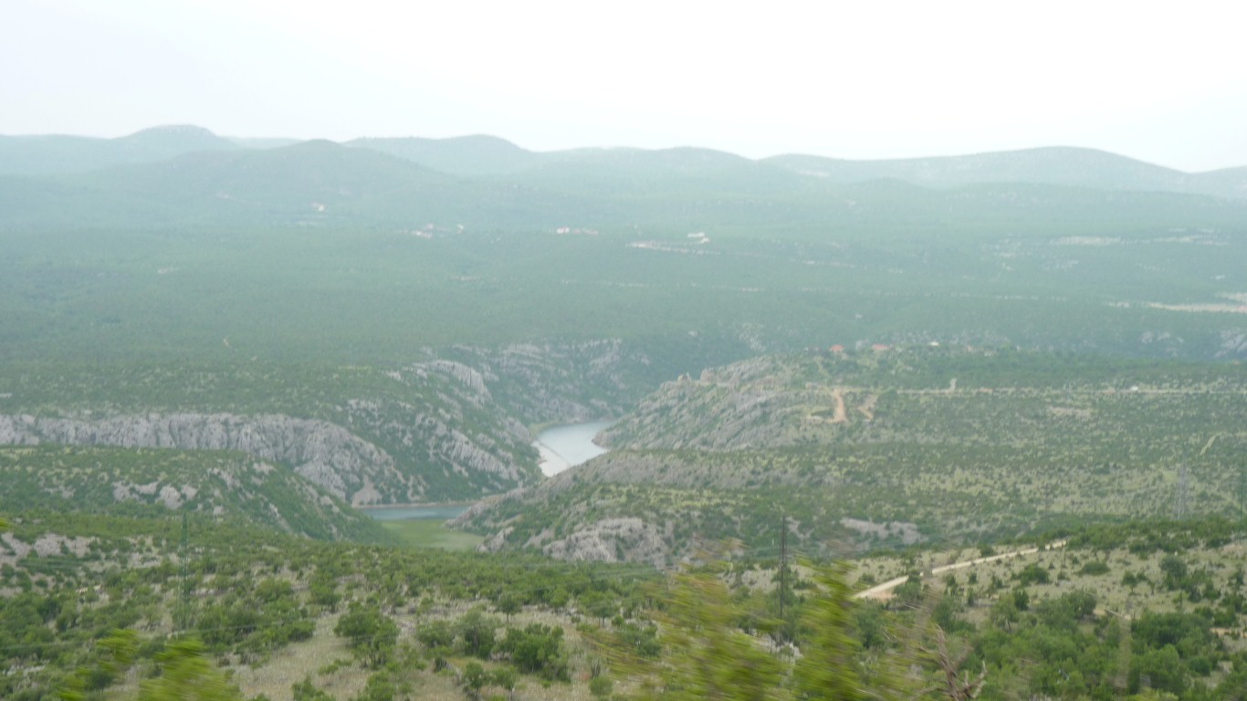
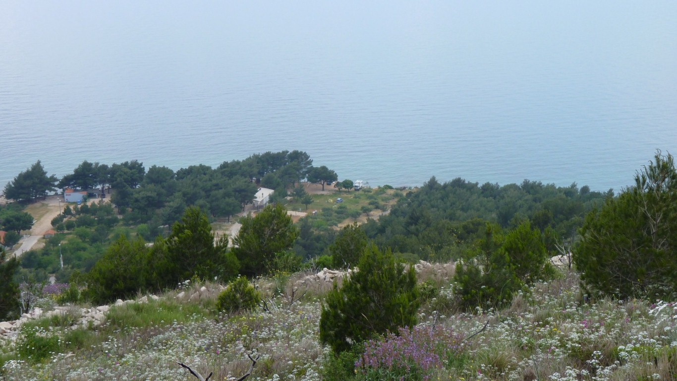
We thought about stopping for the night and investigated an autocamp but there was really nothing there for us.
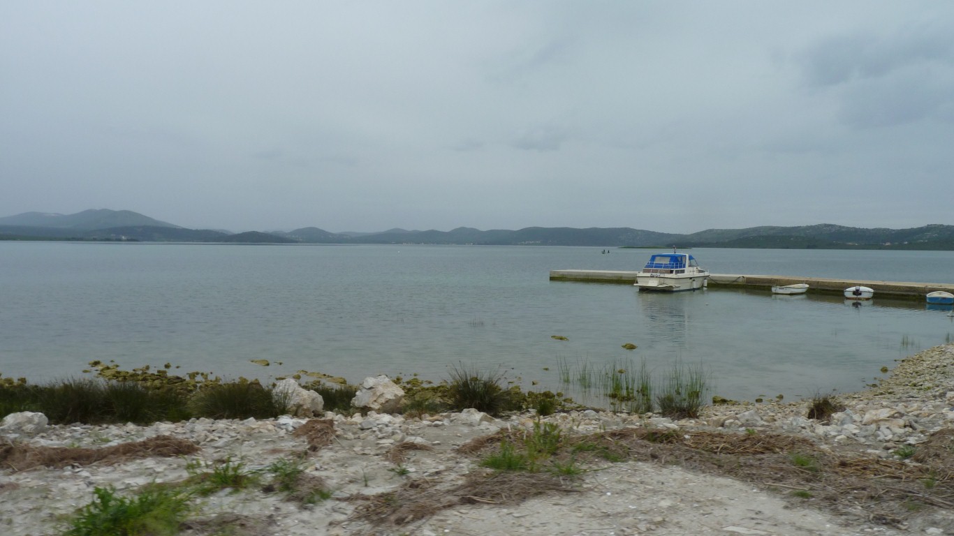
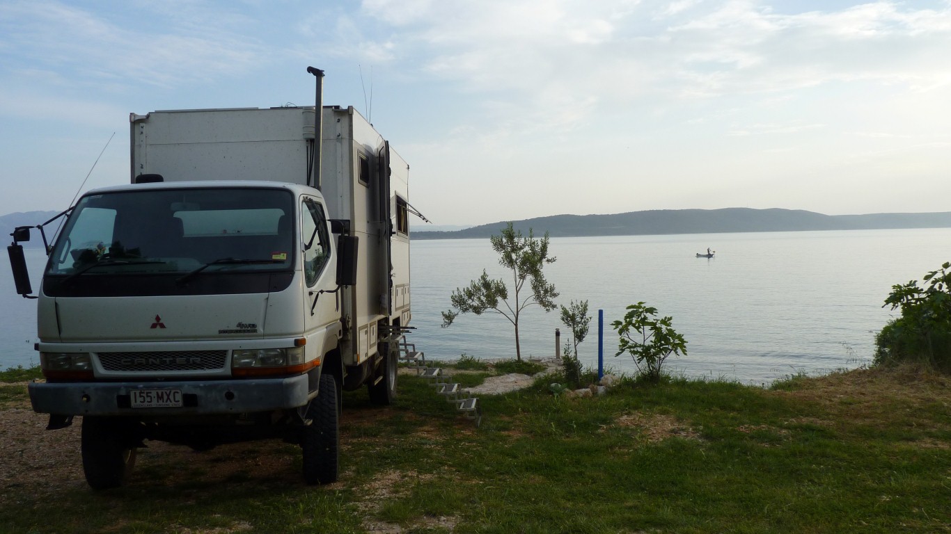
We found a dirt road near a lake (probably open to the sea) and followed it across the motorway a couple of times until we could find a way on to it.
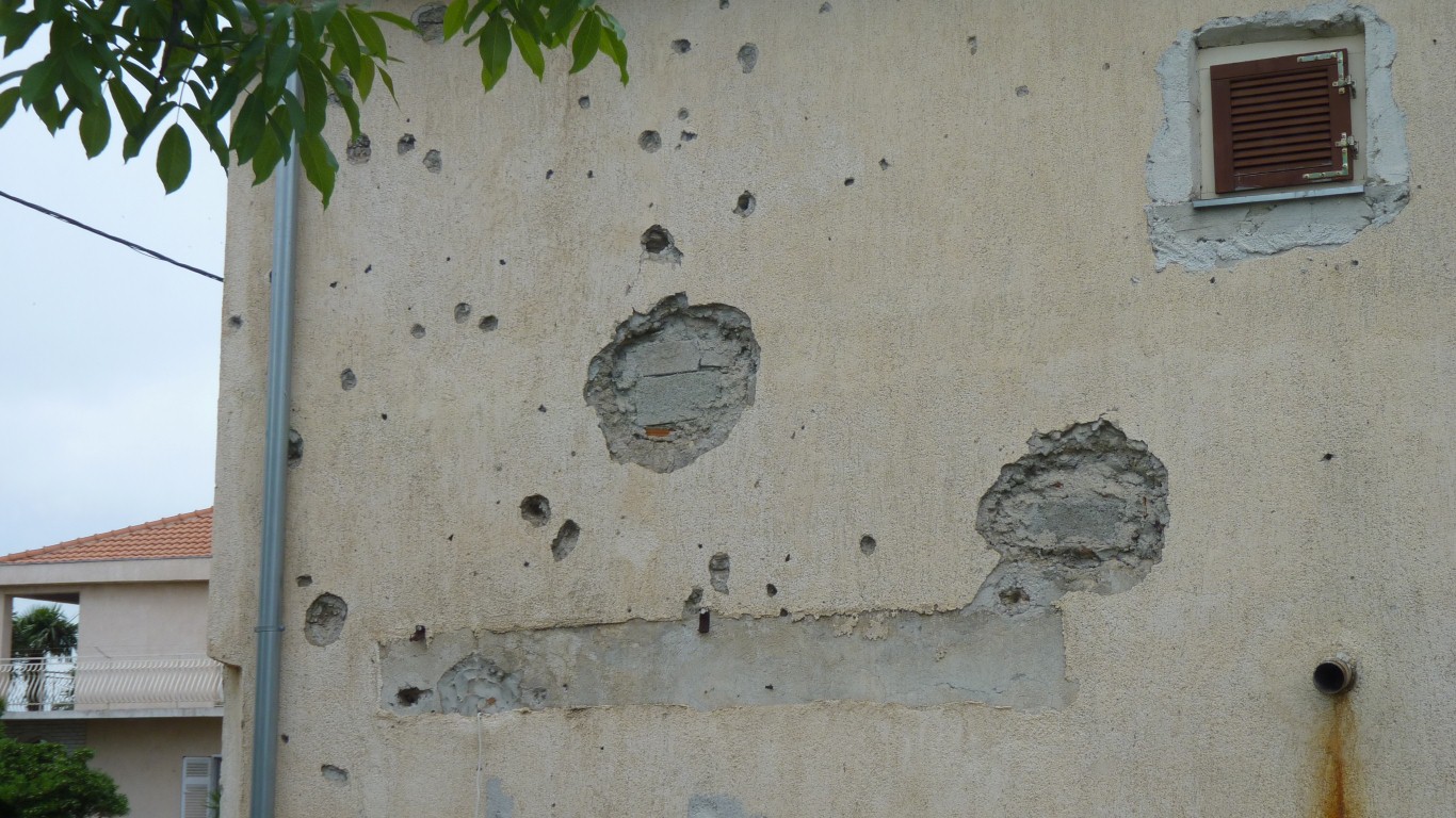
Its the sort of thing that happens to others and we hope never happens to us.
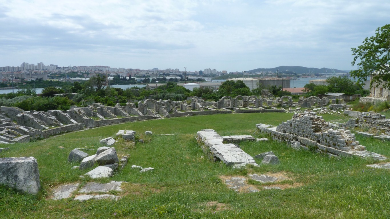
This is the Roman Amphitheatre.
About 300 AD.
Could seat 17,000.
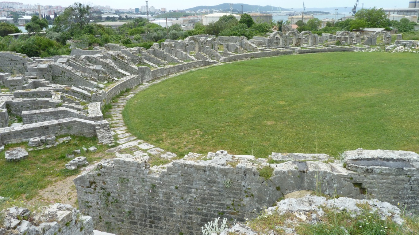
There's a tunnel from left to the middle for dead body removal.
Presumably the victor got to walk rather than be carried. Doesn't quite seem fair but them's the breaks.
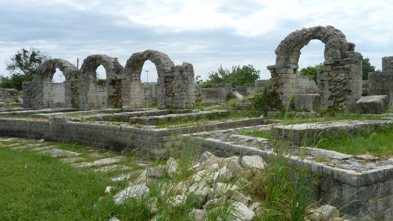
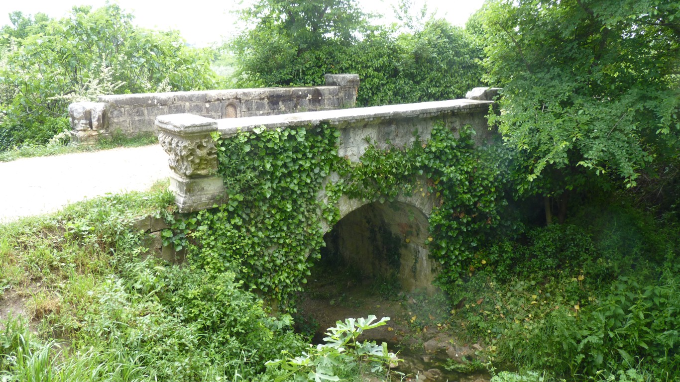
First century AD, rebuilt around the 6th century.
At least one of the martyrs was sufficiently important for pilgrims.
At this stage the road got too narrow for us so we backtracked.
The back entrance.
The gps coordinates we had were for the amphitheatre not the main entrance.
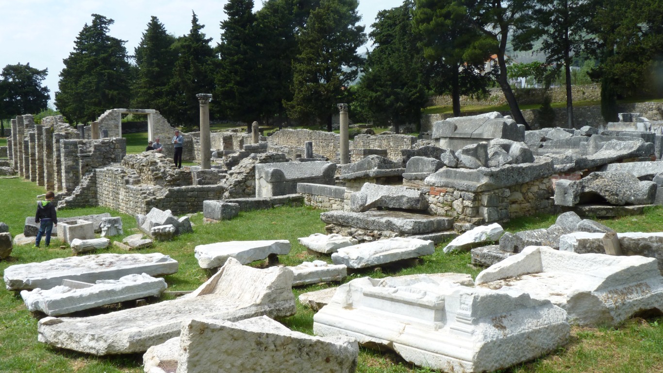
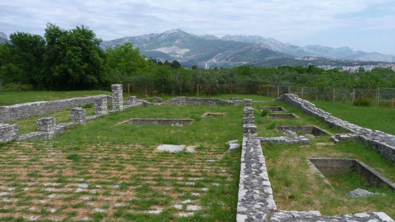
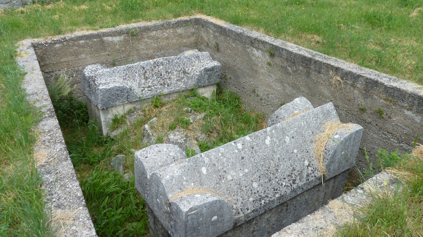
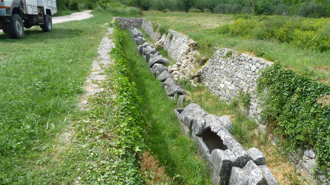
Burials started here about 300 AD.
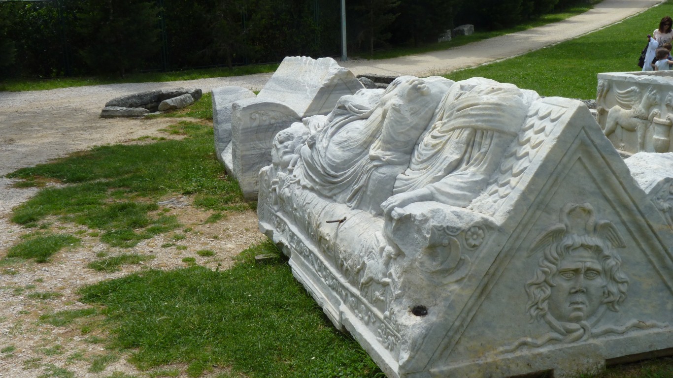
If the best that can be managed after a couple of thousand years is to have the stonework of one's tomb cleaned up a bit for people to take photographs of, with nary a mention of whose tomb it is, let alone what sort of life they led, then we'll probably settle for the more anonymous and pragmatic cremation and ashes scattering.
Though what the archeologists and tourists will get to do in another couple of thousand years is beyond us. Maybe left to rifle through old image files in strange archaic (to them) formats and gazillions of indecipherable facebook entries.
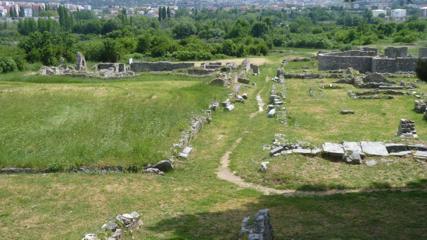
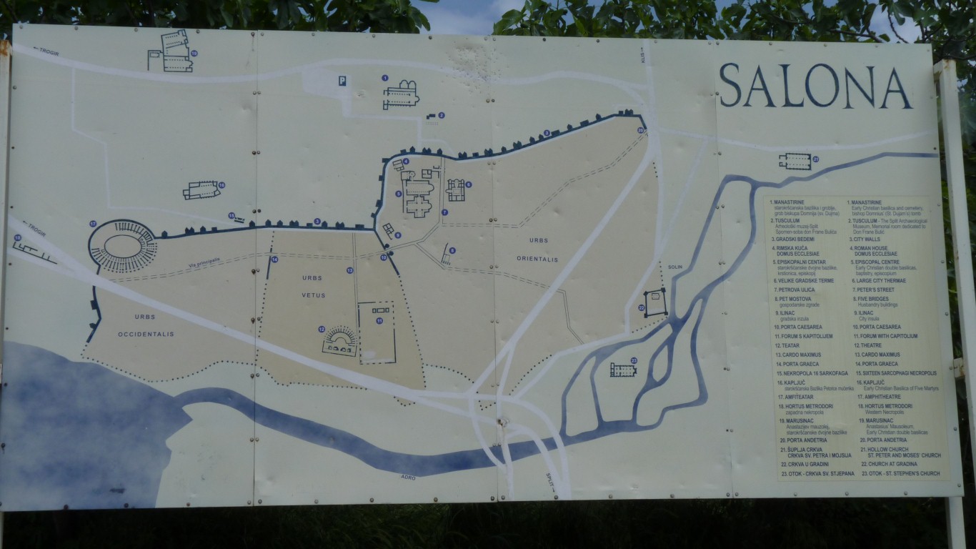
To the left doesn't rate a mention. "Just" the rest of the town.
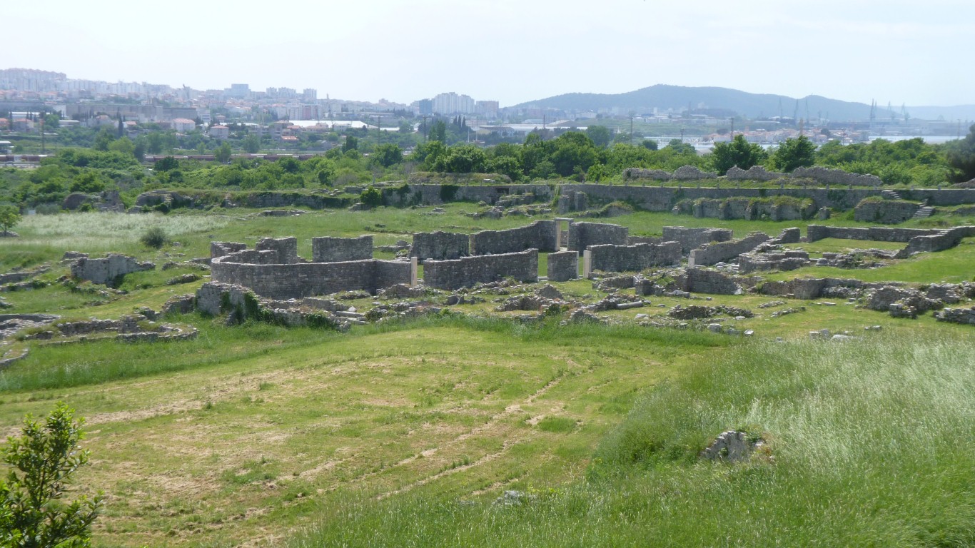
Almost like a couple of basilicas and a few more buildings.
Its very different exploring forts near Hadrian's Wall to exploring Volubilis in Morocco and different again to exploring Salona.
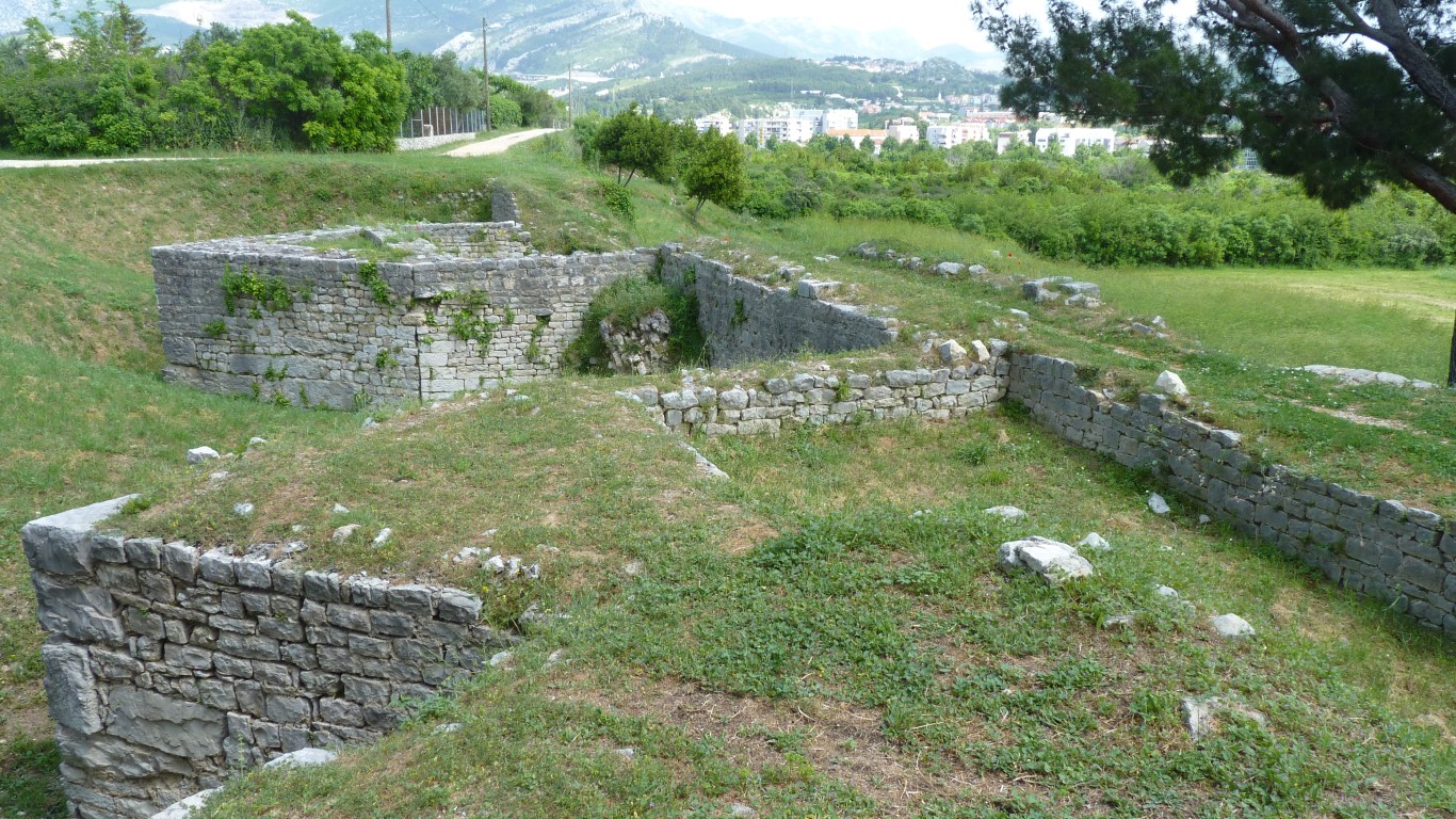
At Vercovicium (Housesteads near Hadrians Wall) we saw fortifications and barracks. At Volubilis we saw house remains and the local industry as well as religious and administrative buildings. At Salona we see mostly religious buildings, an amphitheatre, and fortification. We missed the forum.
We've also seen isolated villas in the Isle of Wight and southern Portugal with hints of the way of life and local industry.
Just guessing that life in different parts and settlements of the Roman Empire, and probably at different times, had a different emphasis. The Empire was far from homogenous.
Just like now!
The enclosed area is about 1.6 x 0.7 km.
The first walls from about 2nd century BC.
Then expanded after the conquest of Illyrian Delnati by the Romans. The Pax Romana.
Eventually about 90 towers for protection against Germanic tribes.
Finally the triangular bits added after the conquest of Salona by Byzantine forces in the 6th century.
The eastern Roman Empire became part of the Greek speaking Byzantine Empire centred on Byzantium (Constantinople, now Istanbul). Eventually it fell to the Ottoman Turks around 1450 AD. The western Roman Empire just sort of fell apart.
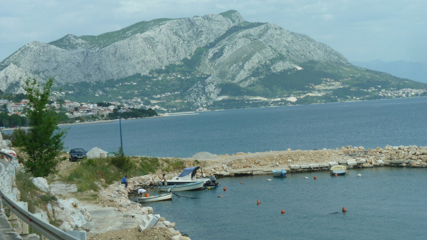
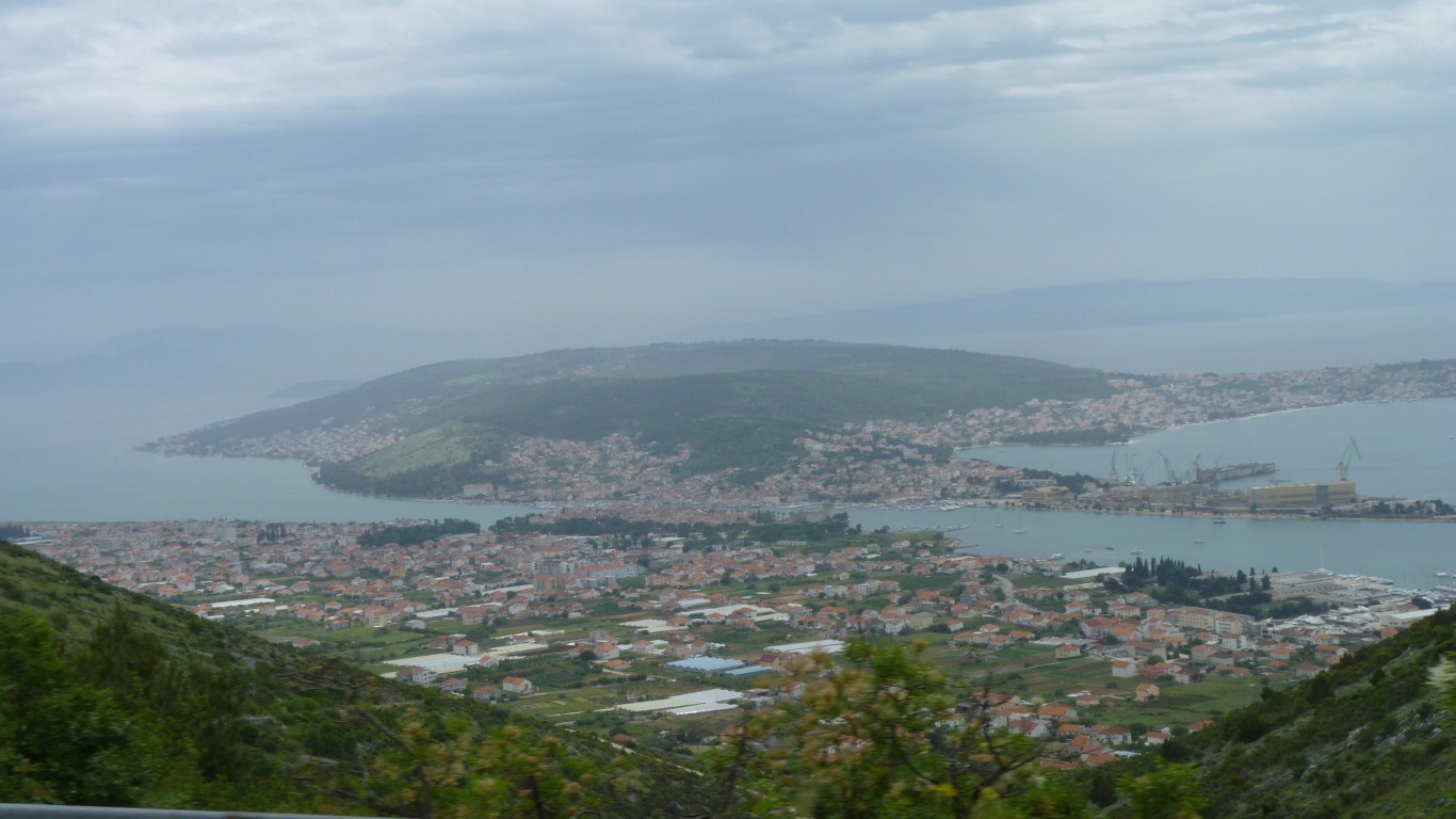
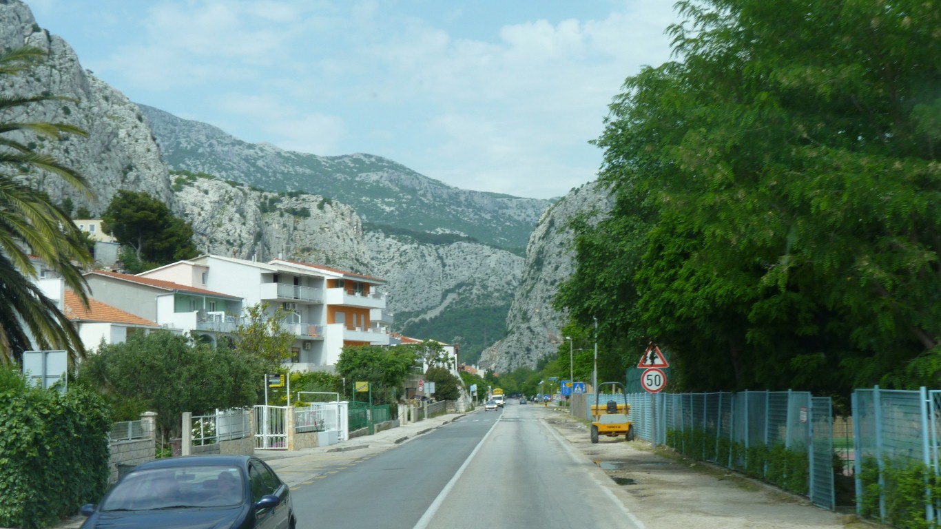
The motorway passes that lump of rock (a national park) to the north, we'll take the coast road around the south.
Reminiscent of driving along the coast near Yalta.
In some places just road.
Pondering whether to climb the hill behind.
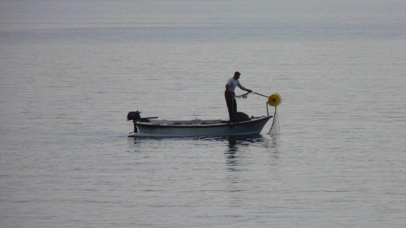
A small, non-powered, version of the net winches on trawlers.
A small steady catch.
Can't help thinking back to the beaches of Thailand. Must be the way we like starting our overland journeys.
And naturally our thoughts turn to the beaches near Brisbane.
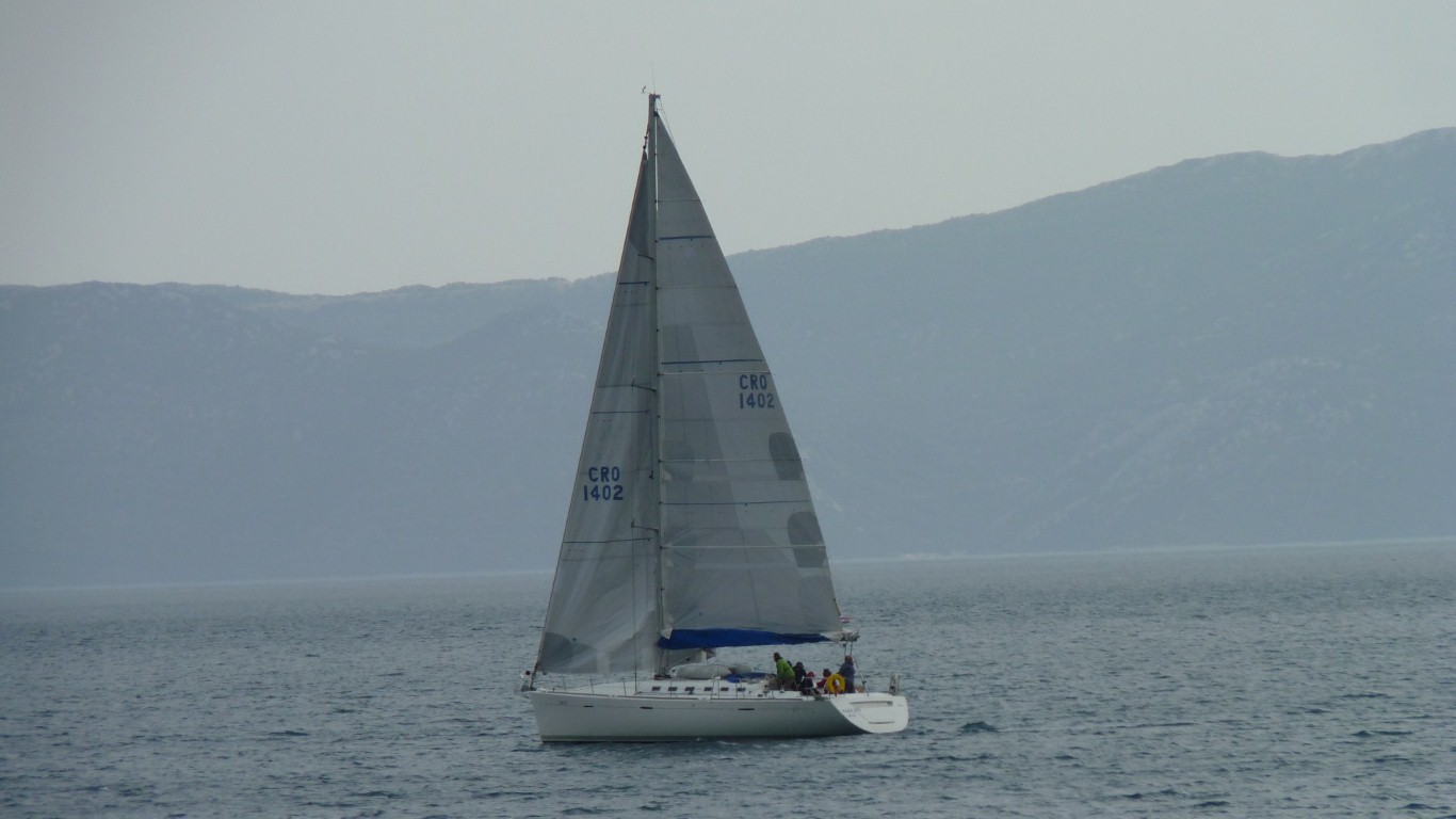
The sails filled again a minute later.
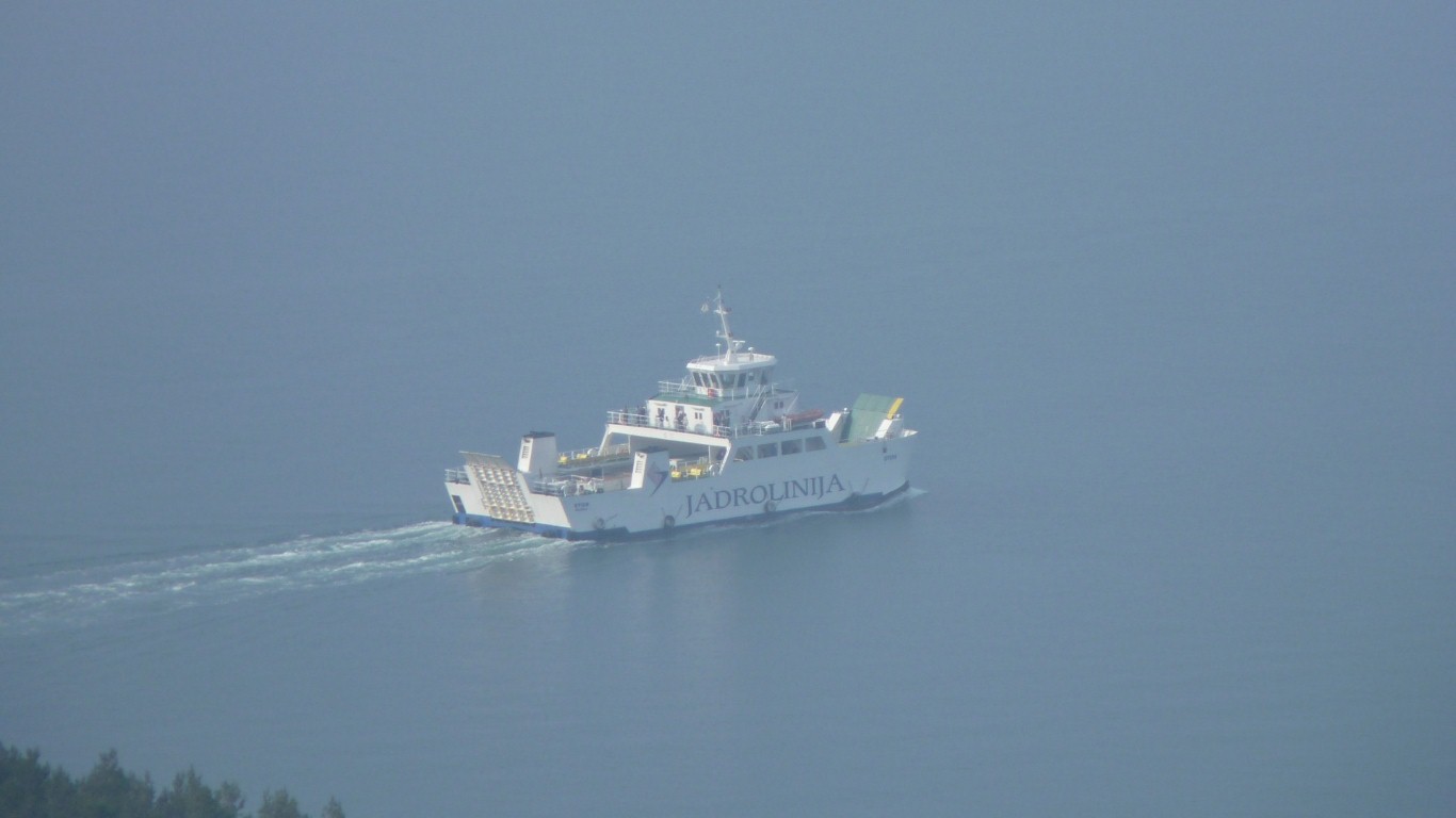
Its the "Takujix" registered in Split.

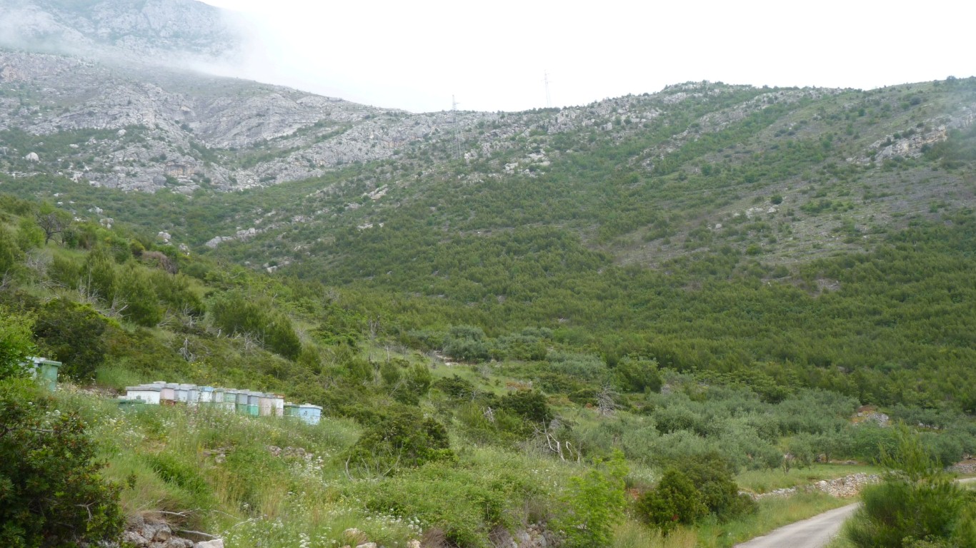
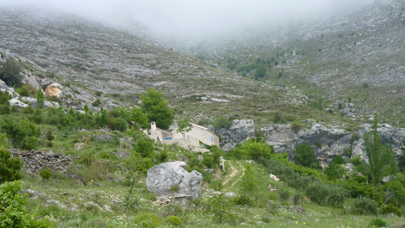
What had looked a bit uncultivated from below had a few surprises.
Bees and olives.
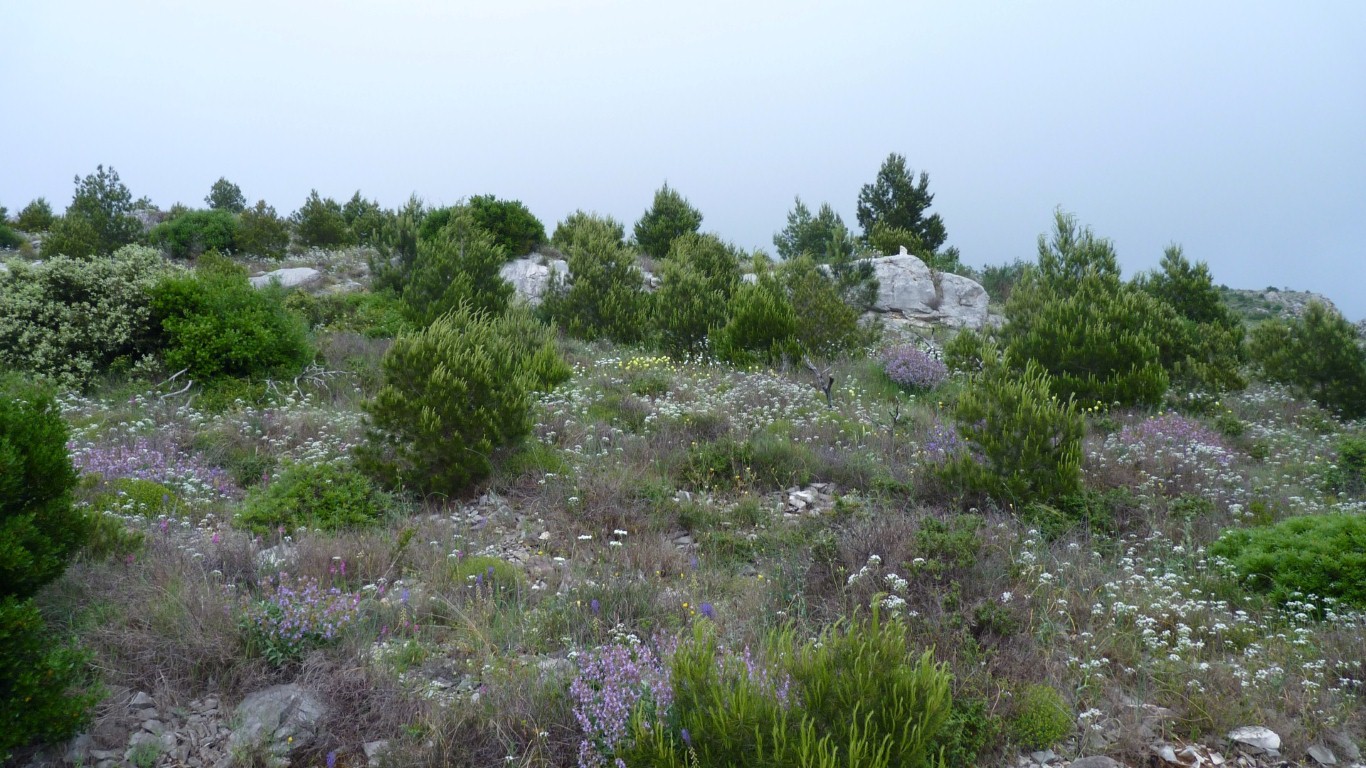
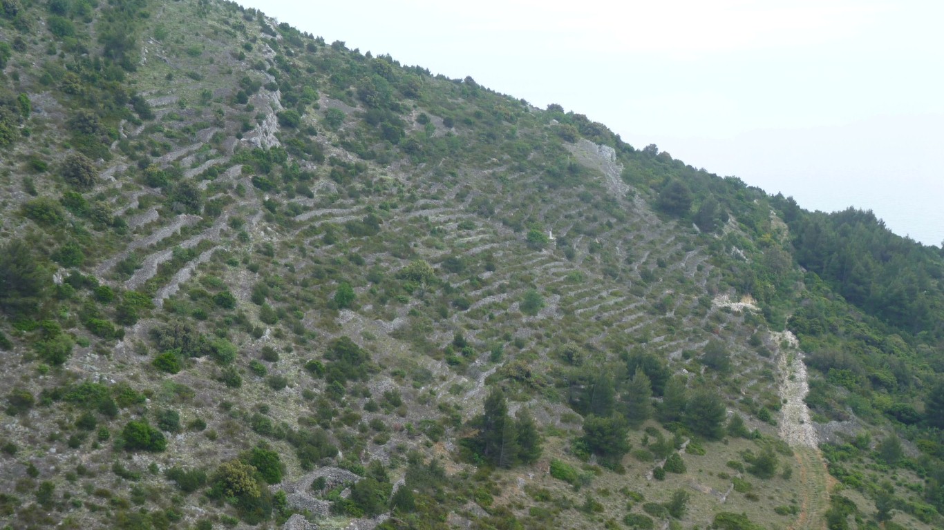
These terraces looked like they were abandoned but I'm no longer sure.
I'm climbing higher.
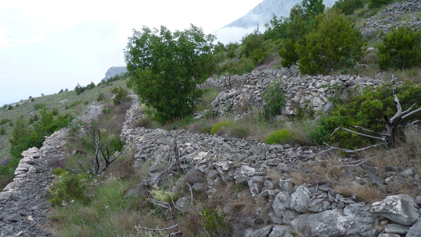
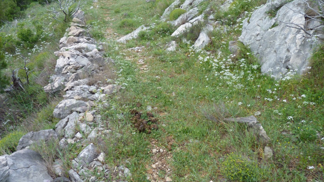
Many tonnes of rocks have been moved to build them.
I think.
And on a bit of a track.
I've been climbing up. The track is along.
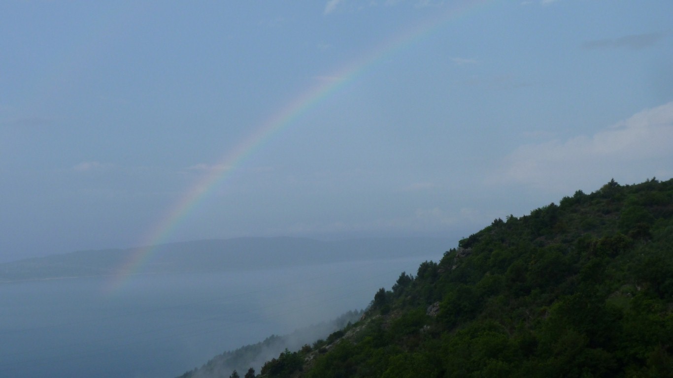
Then it rained.
Then out came the sun and the rainbow.
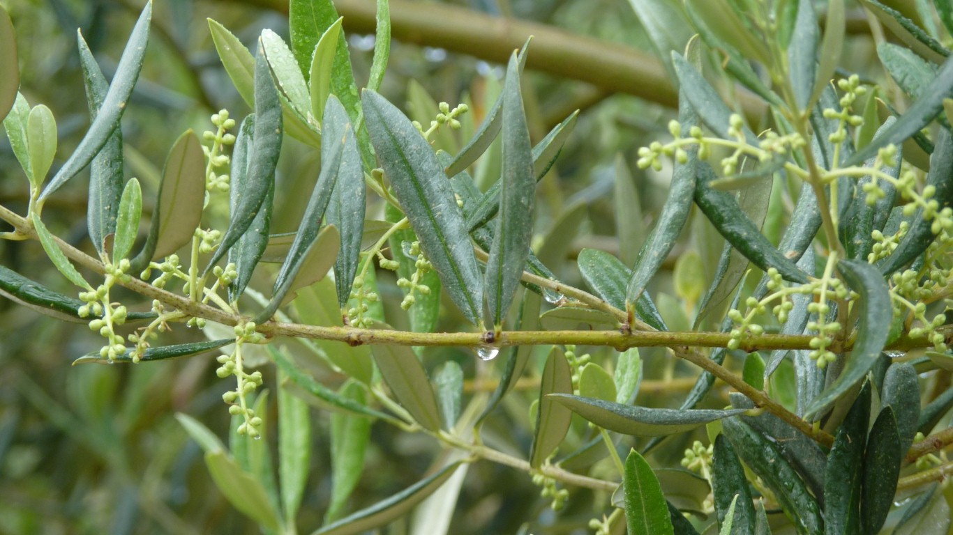
I mistakenly thought that a shriveled tree in a dry climate wouldn't be very productive. Some time soon I'm guessing these trees will be heavy with olives.
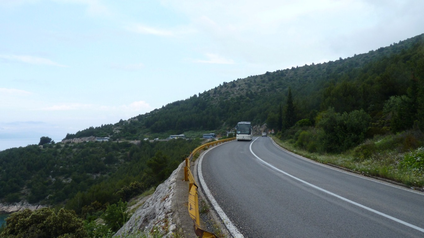
Then walked back along the road.
This is part of the morning convoy of tour buses. Presumably on their way to Dubrovnik.
I started early, about 6am, and was back for breakfast about 9:30.