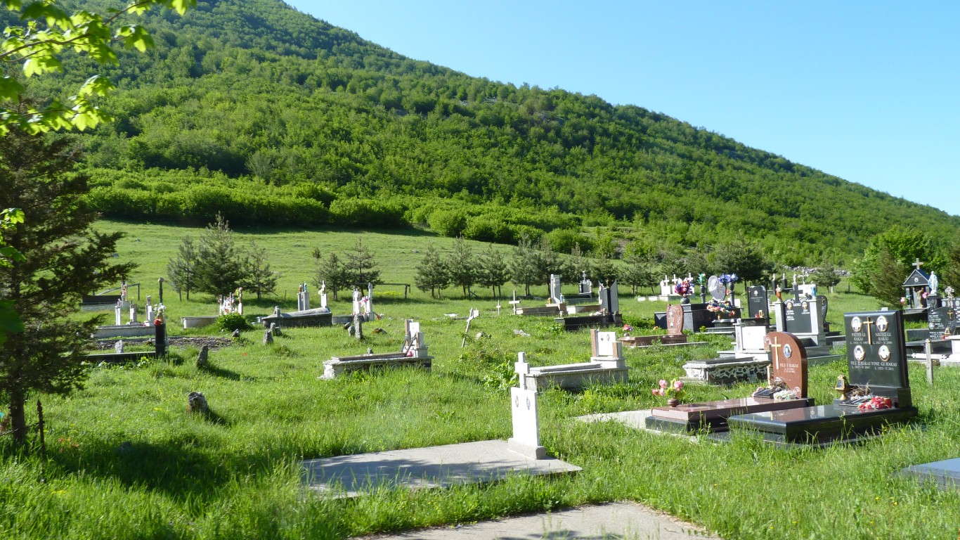
We're guessing a catch up on religion after its suppression.
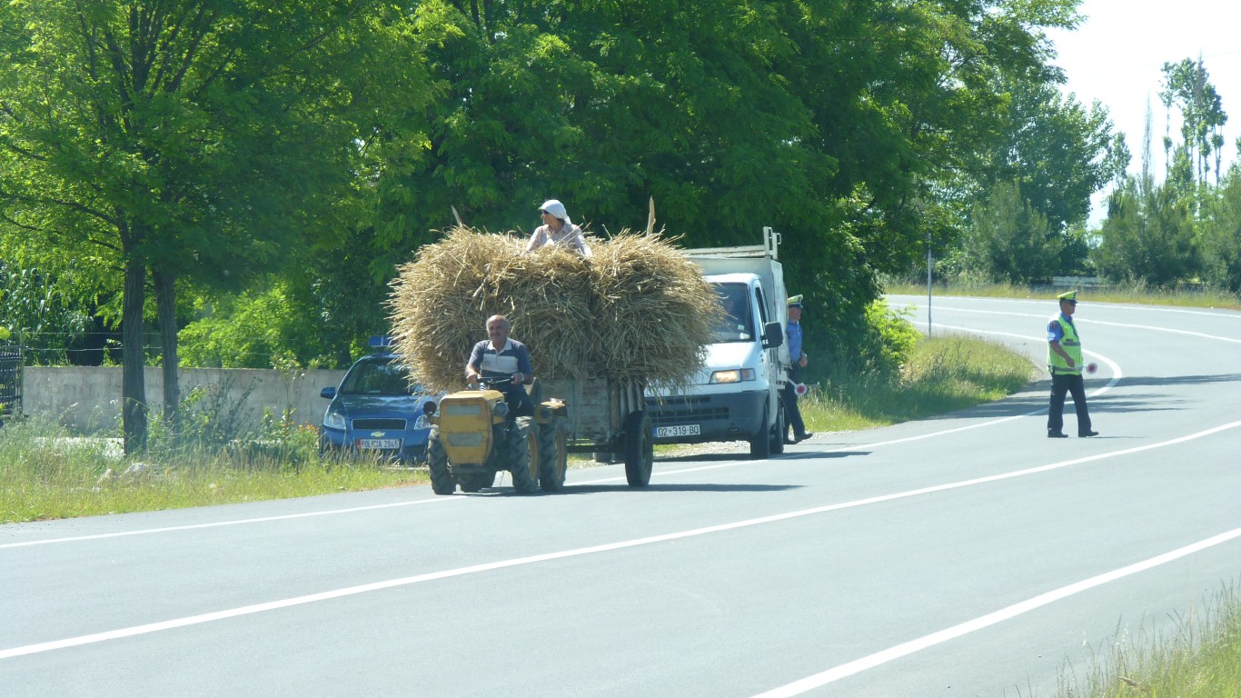
And braved the main road south.
There were many police around. Not interested in us though.
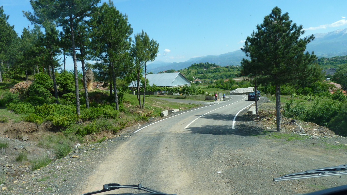
Perhaps time to mention Albanian driving though.
Impatient and erratic.
The combination of road condition and driving habits makes us a bit uncomfortable.
Our navigation was reasonably good.
Including around the closed road.
Pedestrians, bicycles, motorbikes, farm vehicles, cars, and trucks.
Plus a willingness to stop anywhere and ignore everyone else.
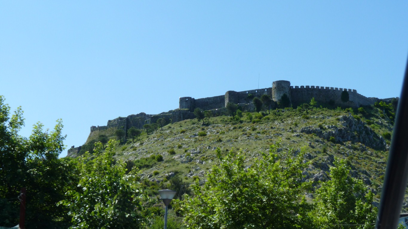
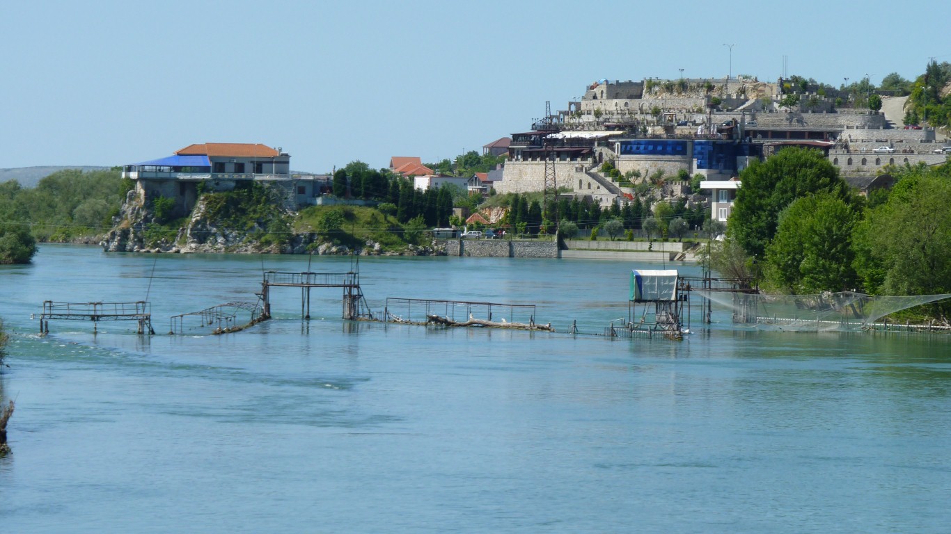
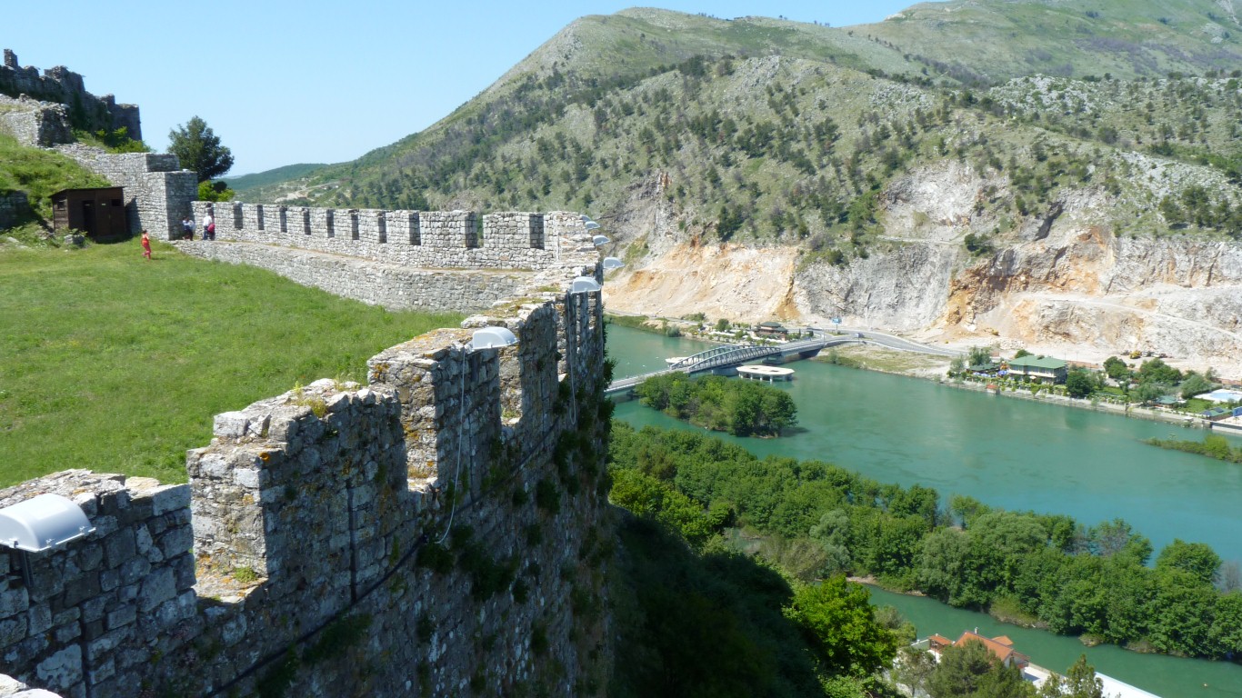
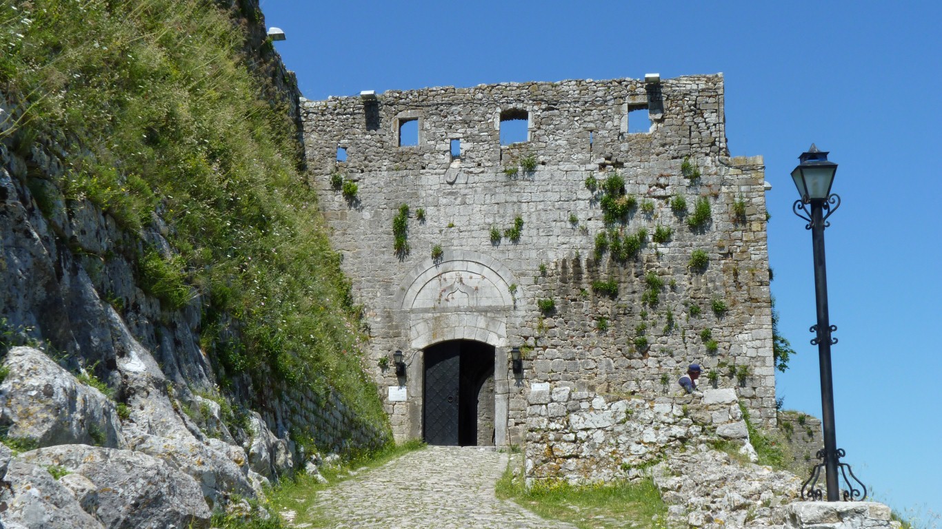
To the south of Shkoder overlooking the river.
The original Illyrian fortress.
Illyrian is a bit of a vague term but has its origins in describing Indo-European tribes in this area and south east Italy. Its still used sometimes in Albania, and recently in Kosovo. Illyrians are known several centuries BC.
The Romans were also here of course but don't figure in the fortress history.
The Venetian rule.
Then part of the Ottoman Empire.
Shkoder was under siege as recently as 1912. From the Montenegrans.
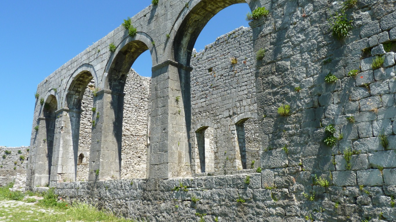
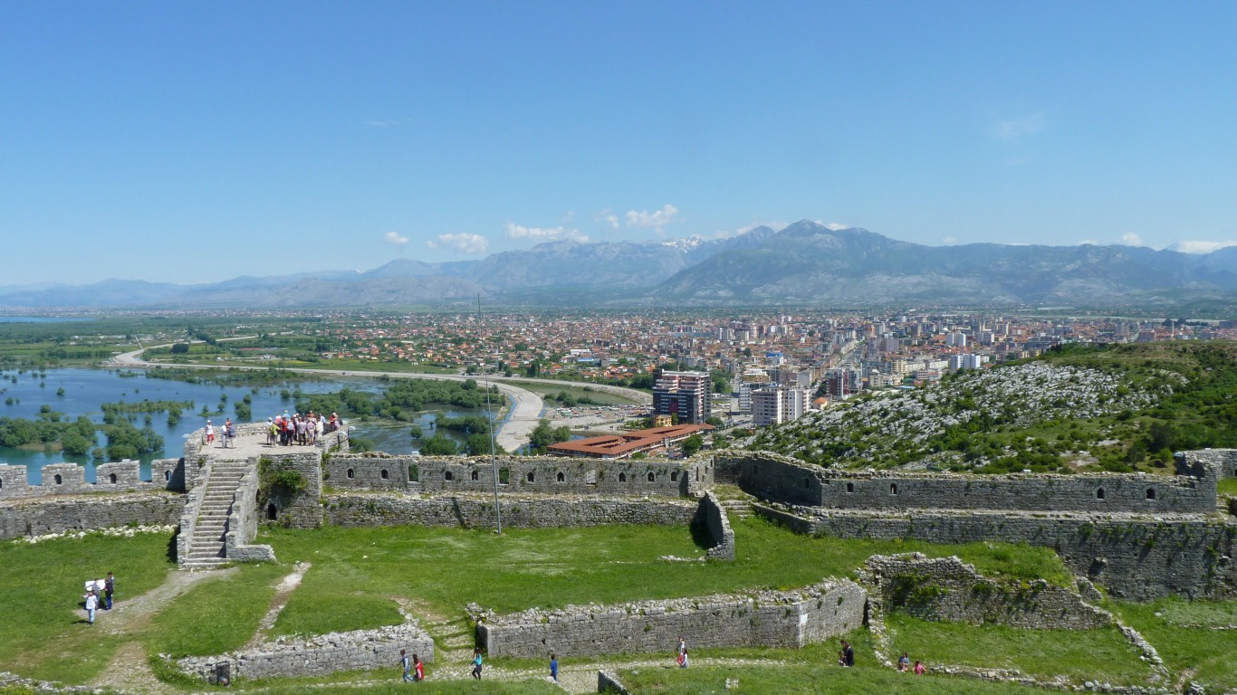
Then the Sultan Mohamed Fatih's Mosque from 16th to 19th century.
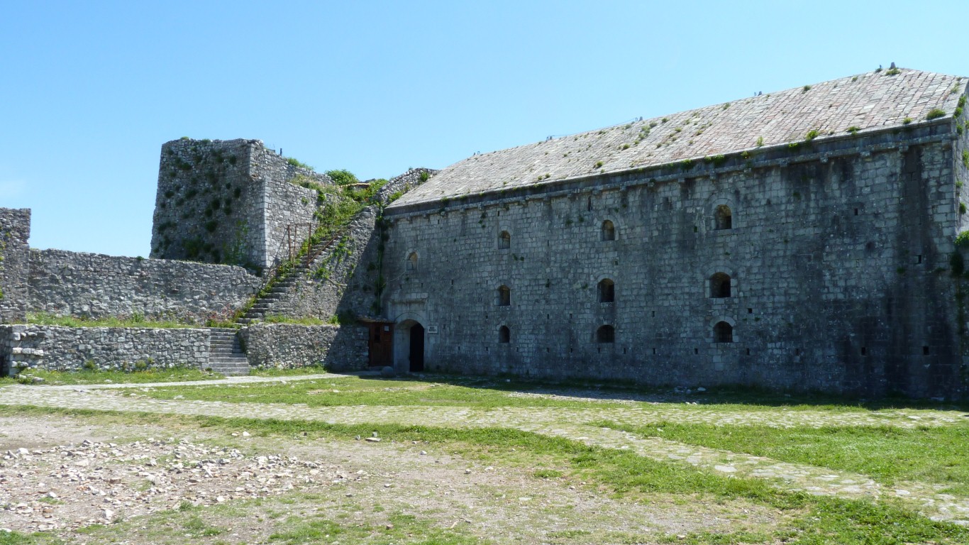
Which has become a museum.
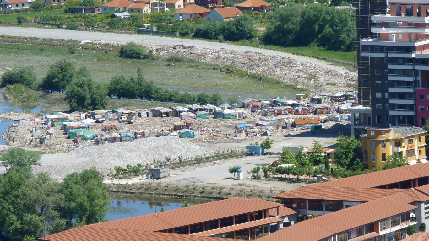
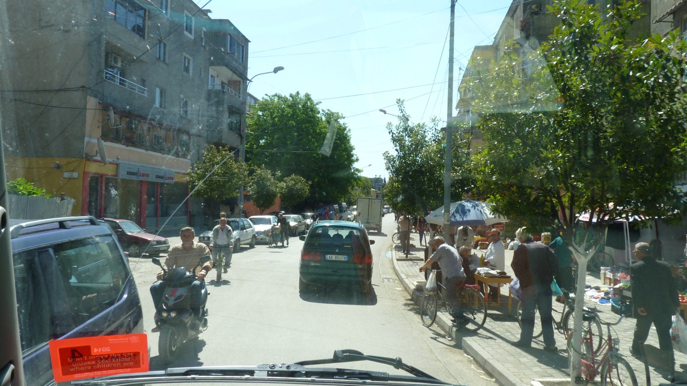
Looks like a shanty town in the middle of Shkoder.
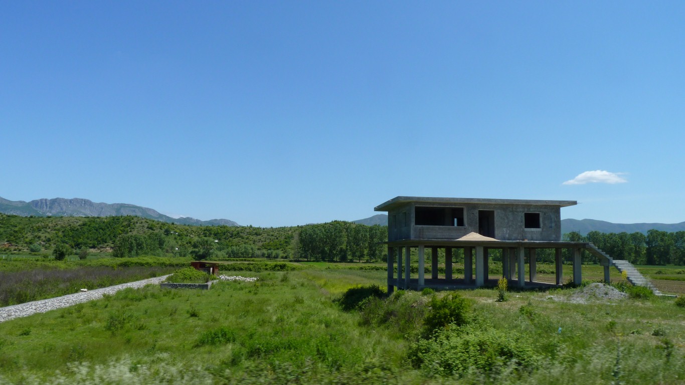
This is a local concrete version of a Queenslander (house).
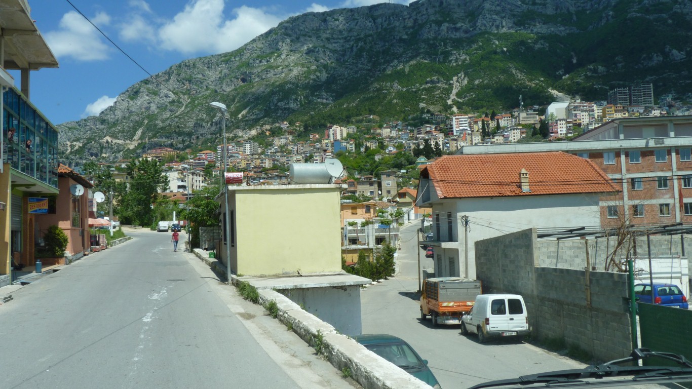
We thought we'd head for the mountains to find a campsite.
Kruje has a few historic monuments but we were getting tired.
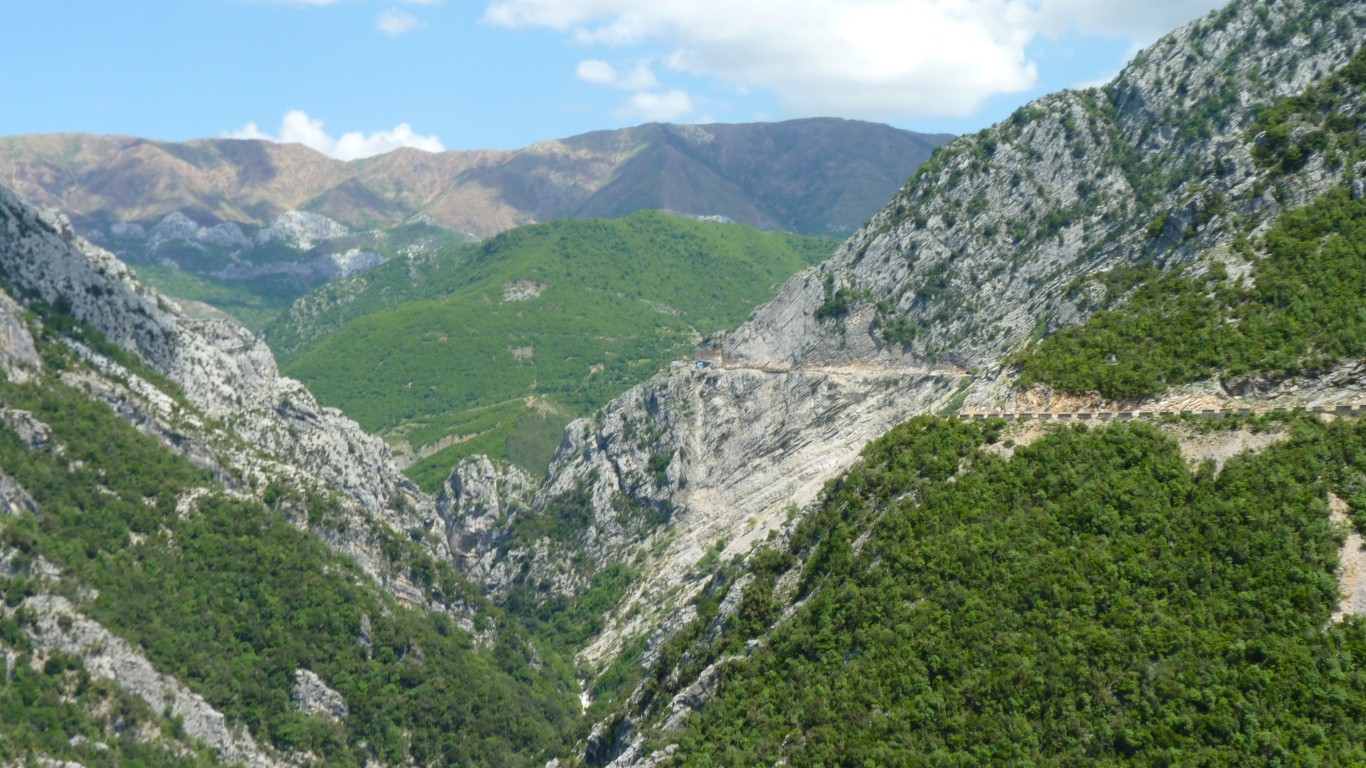
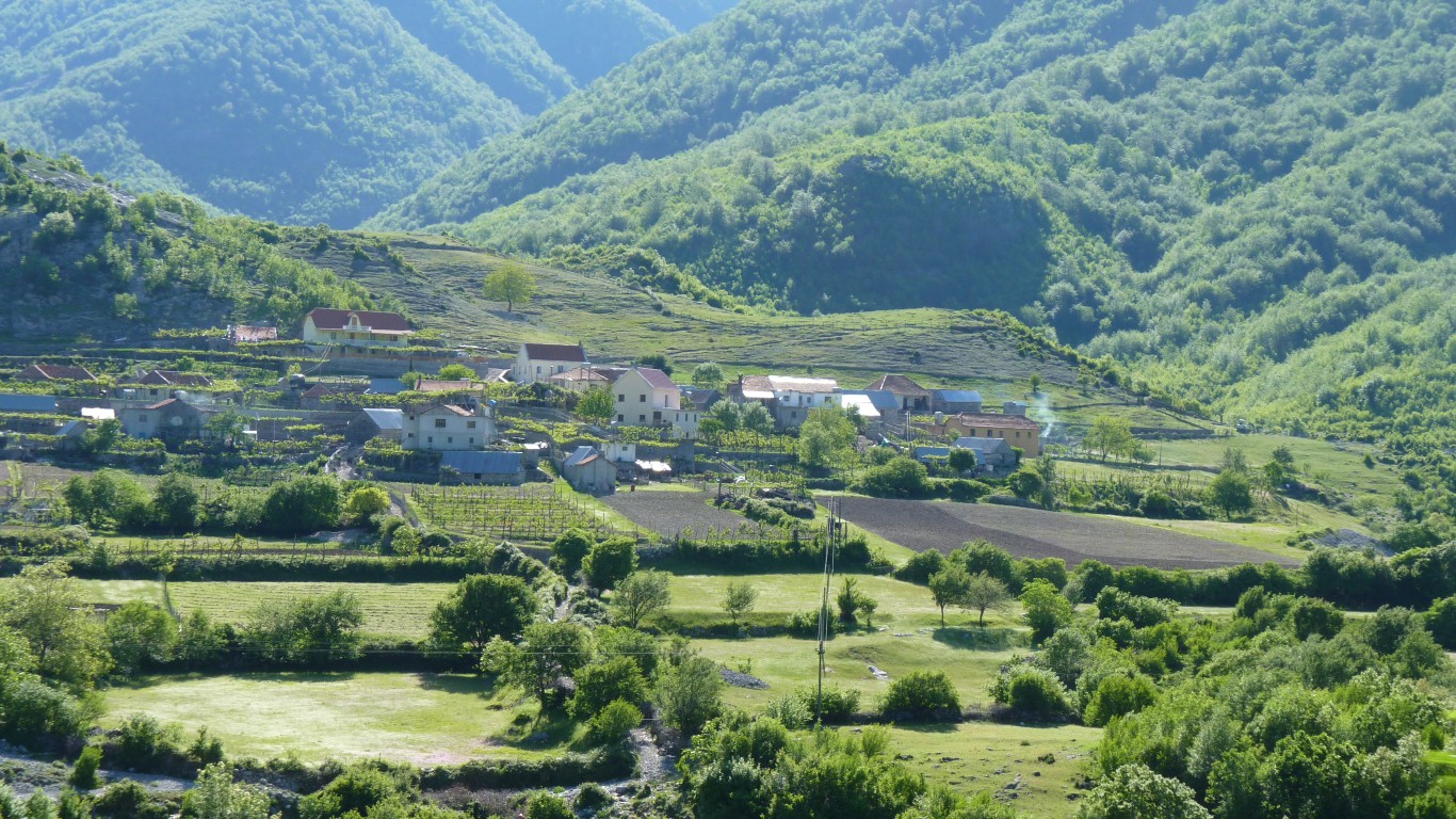
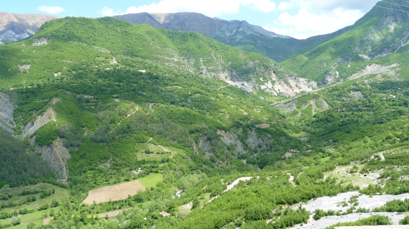
Hidden in the mountains.
The road goes up and over, to avoid the gorge.
Some sort of mining.
In some places the waste rock is carried across the road and dumped over the side.
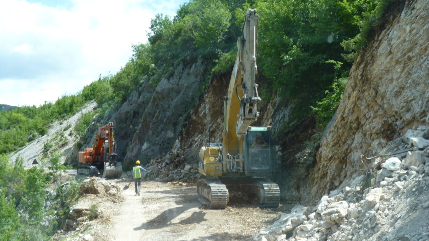
We followed a truck full of rocks.
Apart from Tim's Nissen Hut and a few domes on religious buildings these are the first utilitarian curved roofs we've seen.
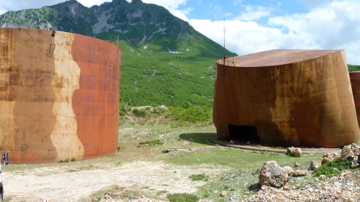
The crumpled looking one has a bit cut out of the side. I guess someone needed the steel.
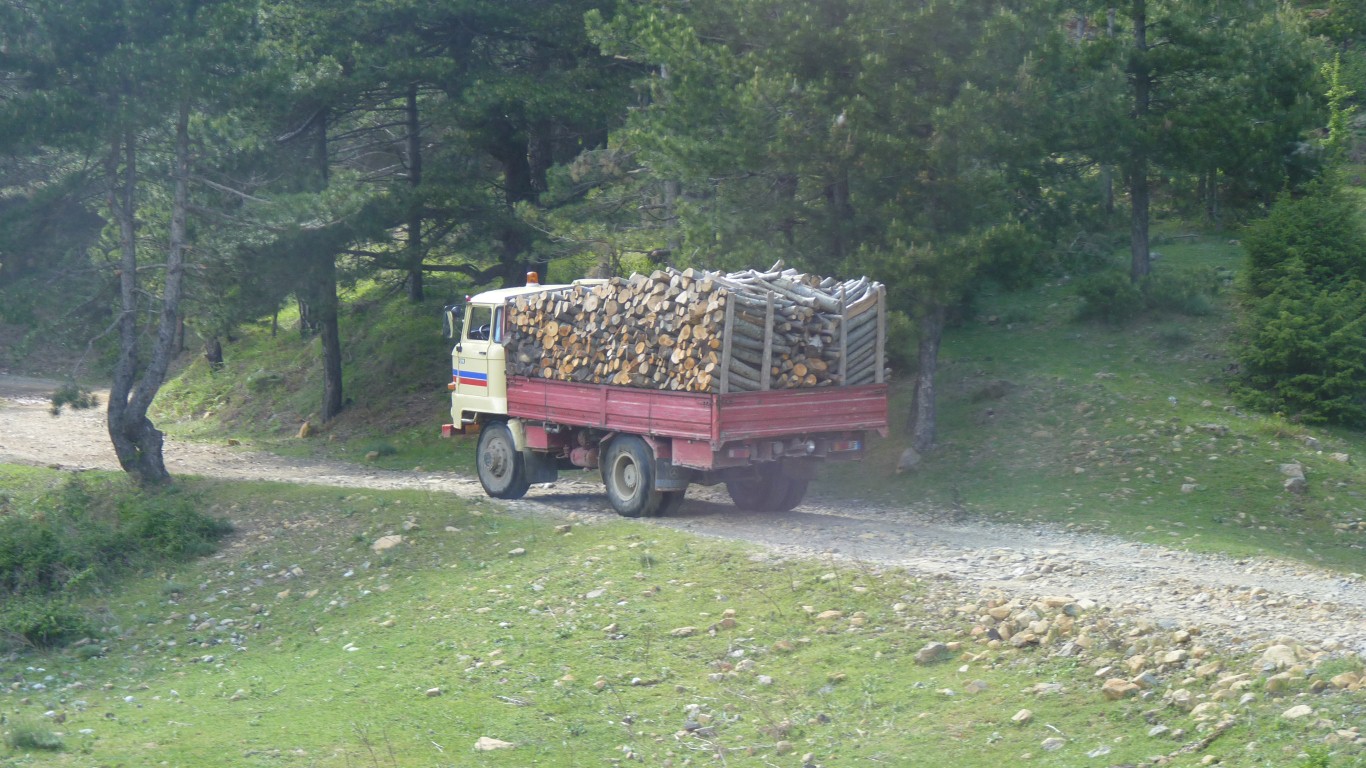
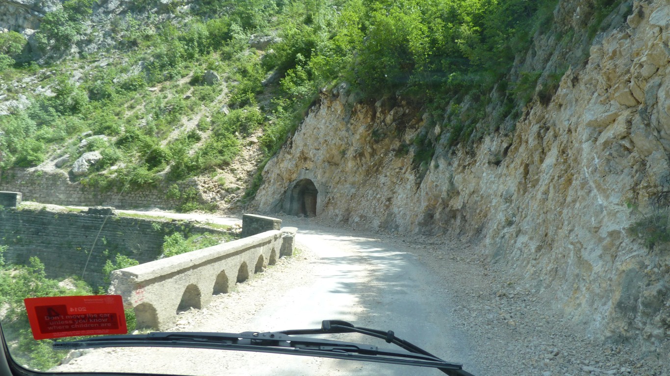
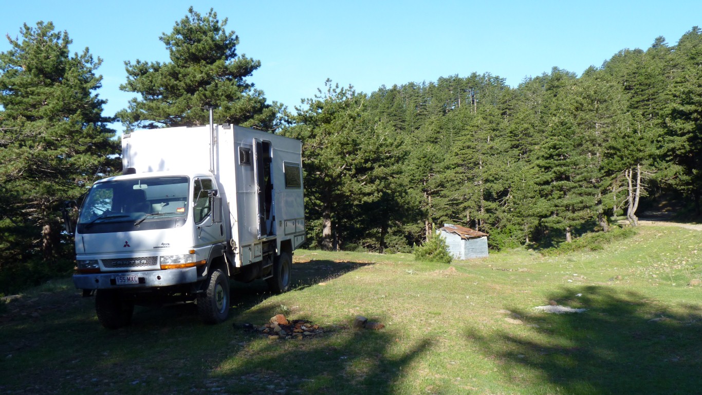
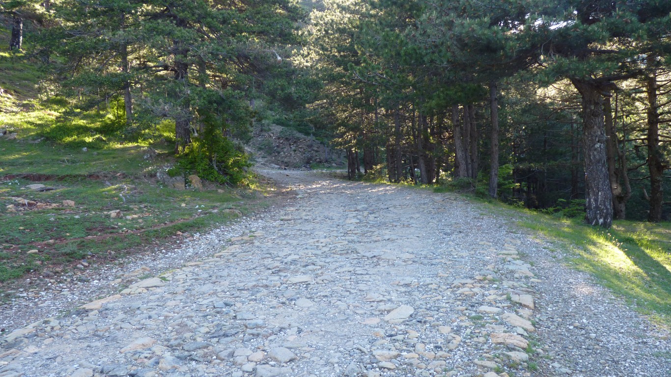
We crawled up a cobblestone road until we found a suitable campsite.
After we'd stopped four firewood trucks crawled down.
We were also a bit concerned at the mismatch between gps and paper map.
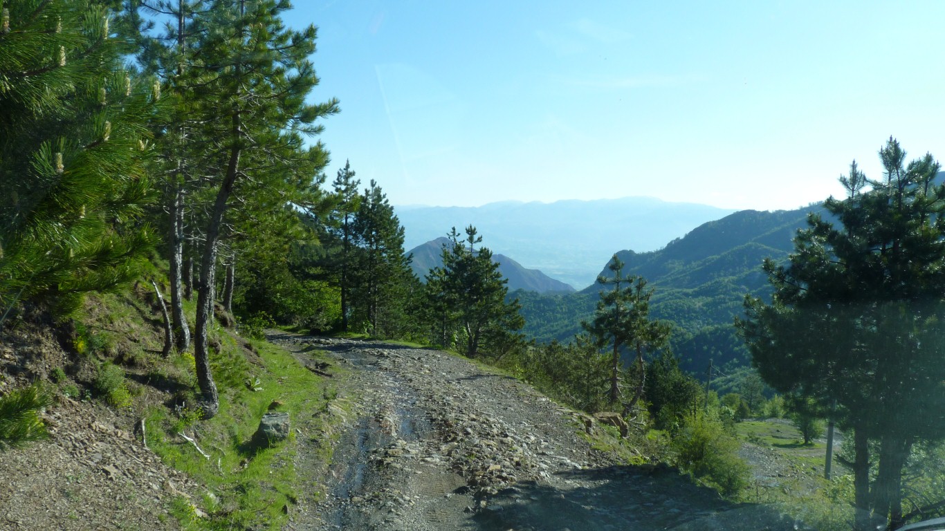
The road across the mountains seemed to hardly exist.
In the morning we discovered we were a few hundred meters from the only hotel / restaurant for many km.
They are large.
This bit is well formed but other parts are a bit more lumpy.
For the next two and a half hours we averaged about 6 km/hr.
So near yet so far.
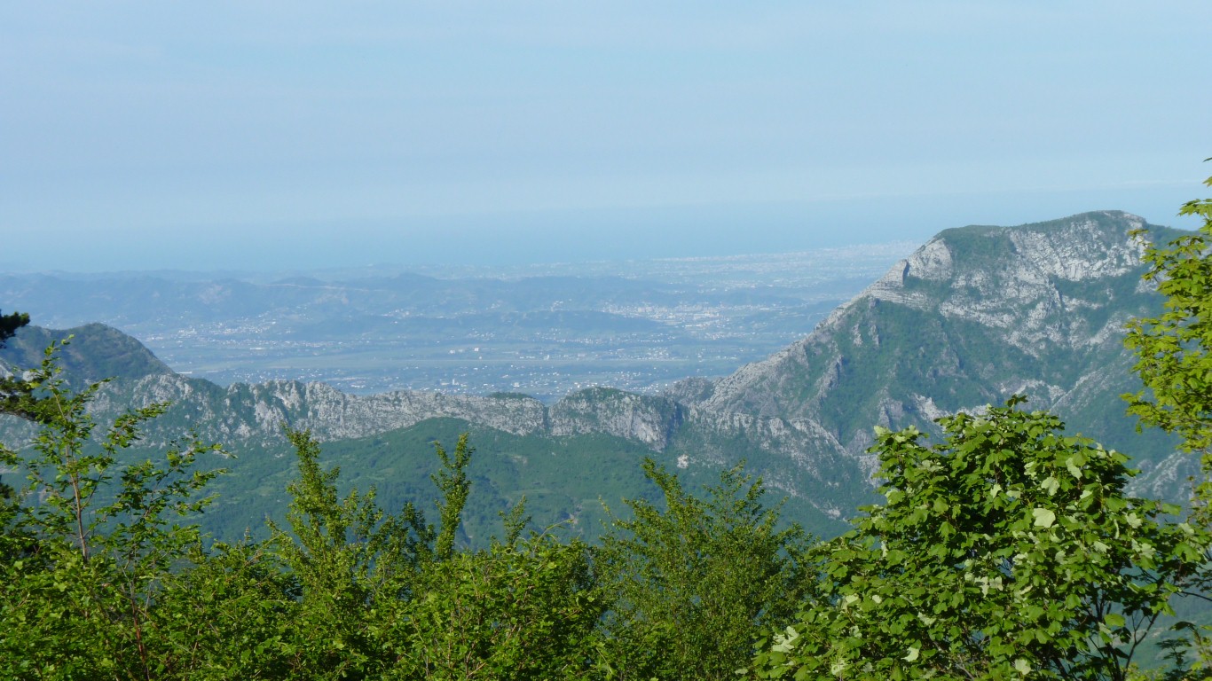
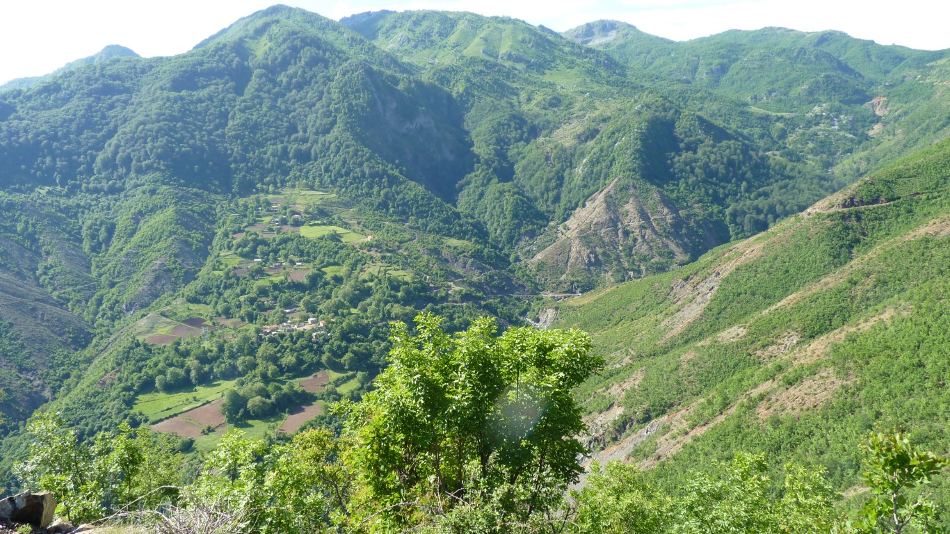
We are in Qafe Shtame (National Park).
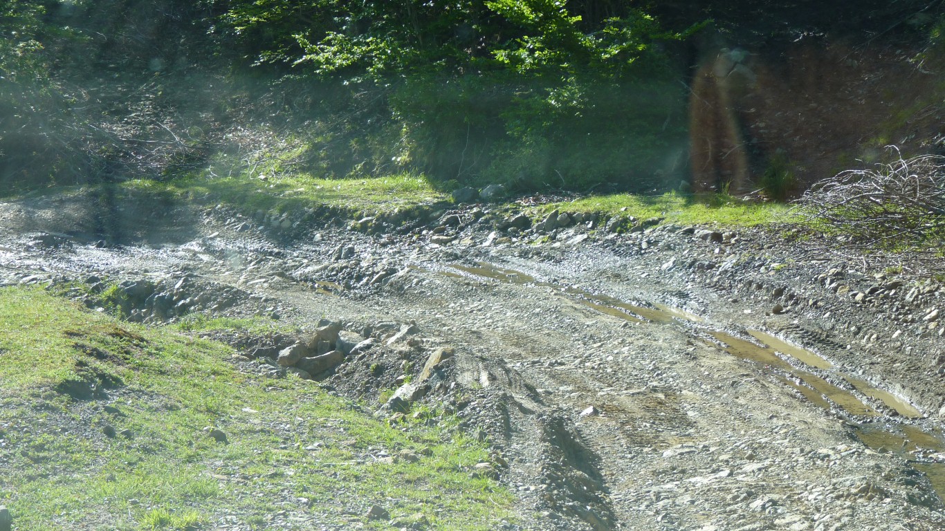
We are moving faster than walking pace.
The track is roughly horizontal across that ridge in the distance, then over the saddle to descend on the far side.
Accessible only from this track.
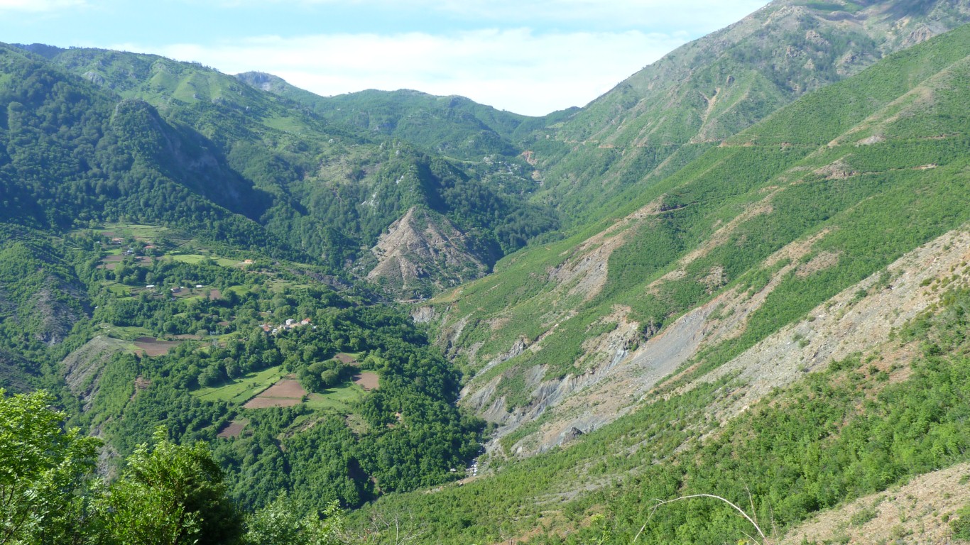
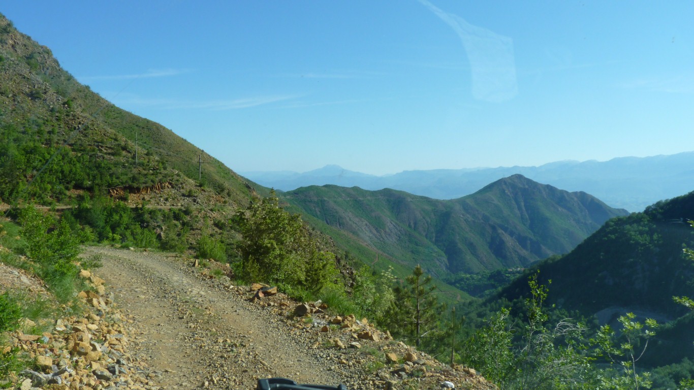
We came over the pass in the distance.
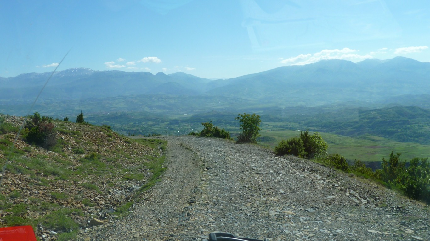
We've seen some strange (to us) greenish coated rocks, perhaps they've been smelting something.
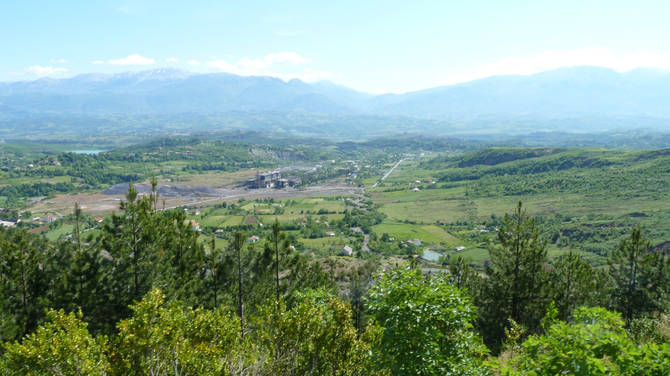
Albania has large chromite deposits. We are probably overlooking the derelict ferrochrome smelter at Burrel. Attempts to re-open it apparently failed.
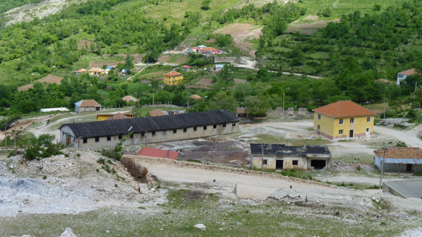
This is Komes. Burrel is a few km beyond.
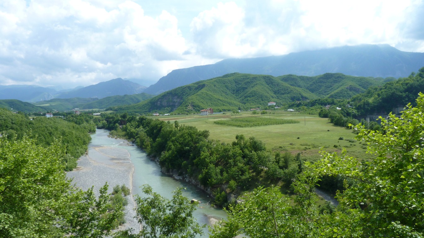
Overlooking the river.
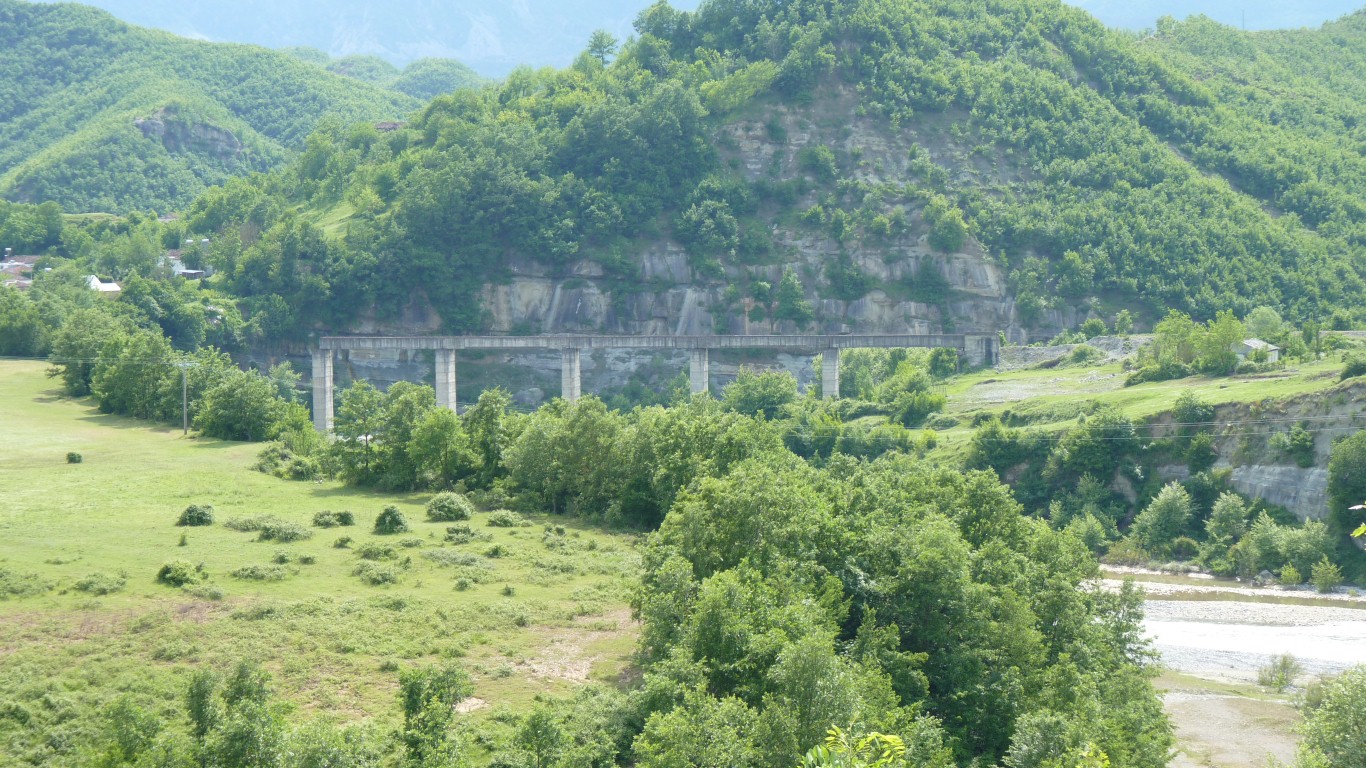
However, no embankment at the left end of the viaduct.
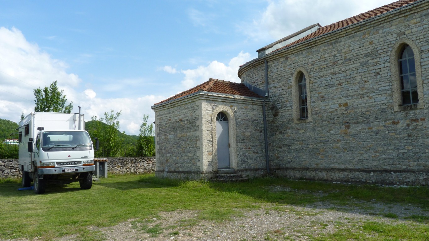
There seems to be a school and church run by Italian nuns.
There seems to have been a long association between Albania and Italy.