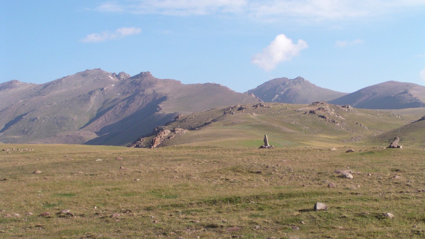
A quick look at the standing stones and stone circles.
About the only thing we could agree on was that they were vaguely round.
And made of stones.
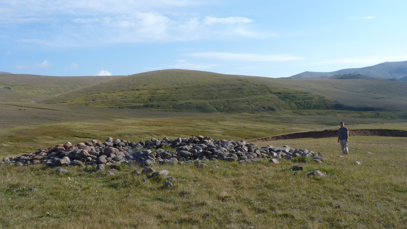
But really we have no way of knowing if its a burial mound or a collapsed hut.
Though we haven't seen any circular permanent buildings, nor any made of stone.
And further back in antiquity nomads didn't build permanent structures in locations like this..
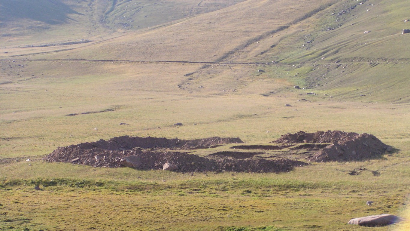
A little further down we wondered what archeology had been unearthed here.
There are several similar pits vsible in a straight line, a few hundred meters apart. The square holes are a couple of meters deep - a lot of soil.
A few choruses of Anthony Newley's (?) "don't dig it here" reverberated through the cab. Almost as many times as the Skye Boat Song, before coming to an equally abrupt halt!
With a few hairpins to help.
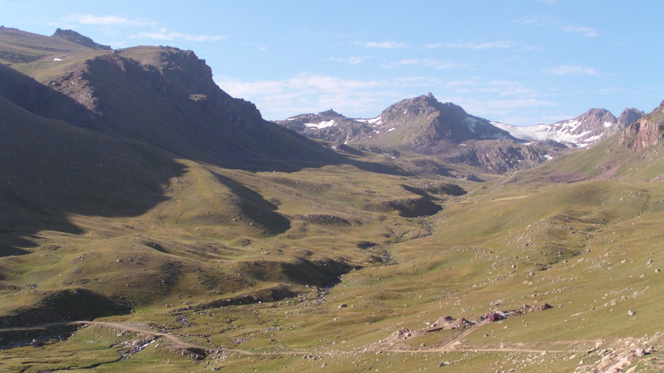
We were camped somewhere over that ridge on the right, in sight of the glacier.
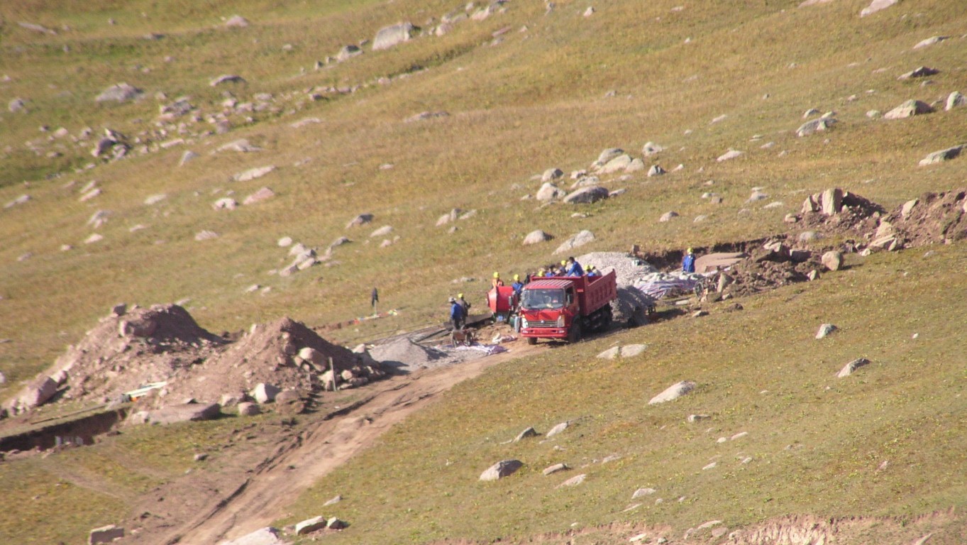
Foundations for power pylons.
The cement mixer and gravel are a bit of a giveaway.
But at least we know (or at least can believe) that the track is passable.
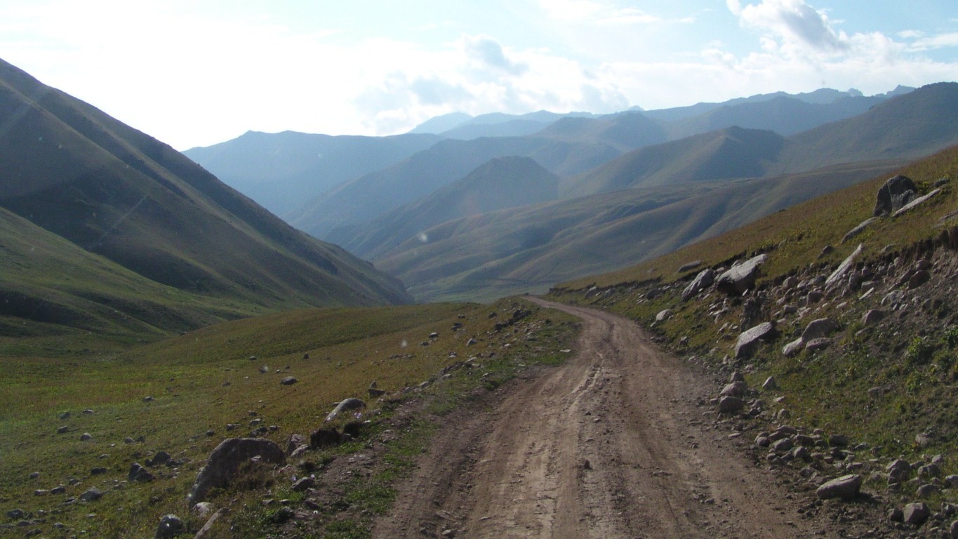
Really it is.
Shortly after this we found third gear. 25 km/hr seems awful fast.
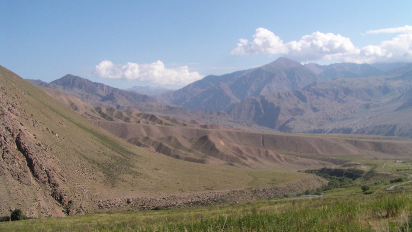
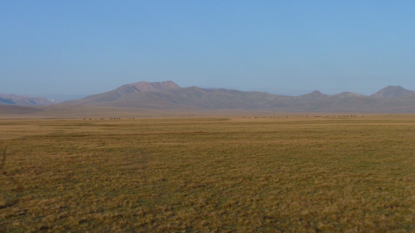
That's a very big alluvial fan.
Main road on the far side of it.
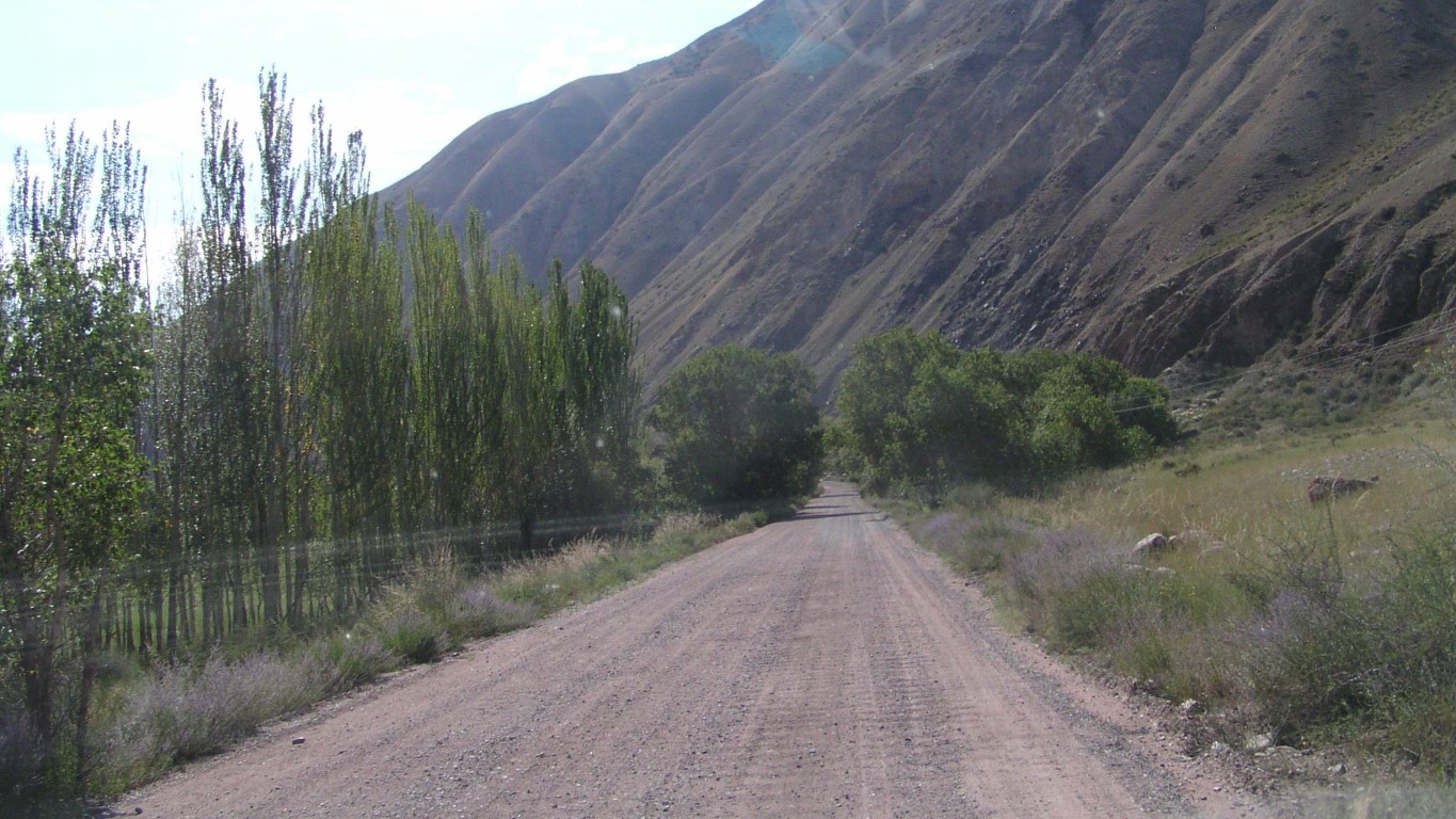
The A367 is gravel.
We engage 4th gear and reach 50 km/hr!
It takes some getting used to.
Sometimes kol seems to mean lake and sometimes river. Similarly kul.
Kyrgiz is a Turkic language. The last time we had this problem of interpretation was with a Nordic language.
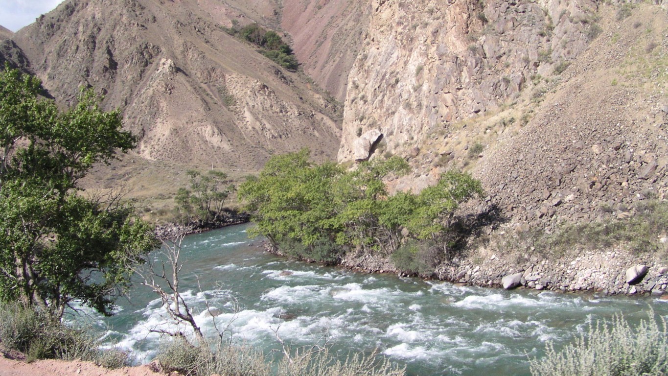
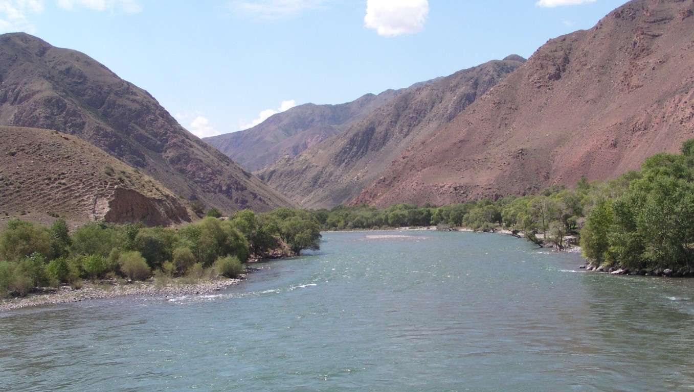
Big, clear, and fast flowing.
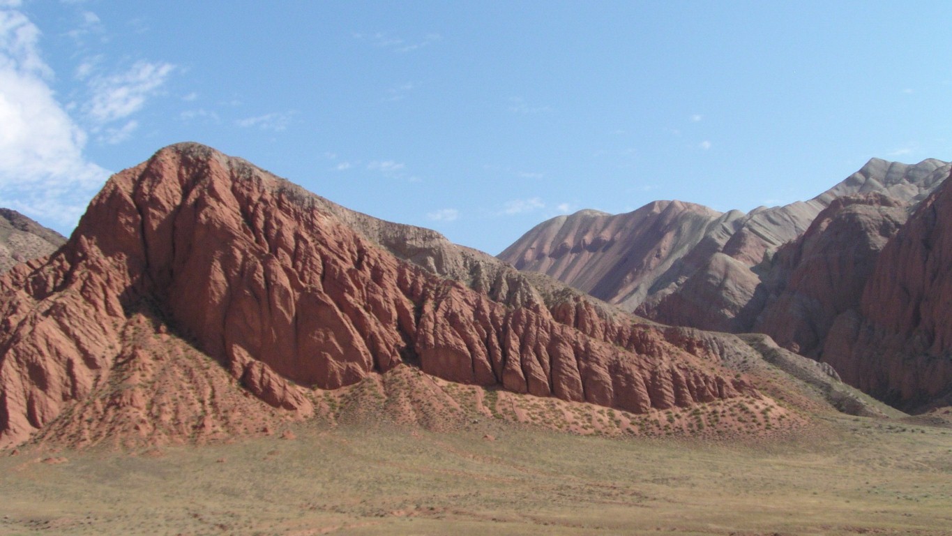
We naturally wonder how it was all formed.
There's lots of granite (very coarse) and all sorts of sedimentary rocks mixed in.
Its as if the mountains of granite were pushed up, eroded a bit by ice and water and the valleys filled up with sediment, which was in turn eroded by water. A bit of research required.
We have internet.
A moment to ponder that in the space of an hour we had email replies from Aus, Kyrgizstan, Albania, China and England.
How small the world has become.
We wanted to turn north east. Following a tributary.
So we crossed a bridge. And bridges are always good places to stop for a photograph.
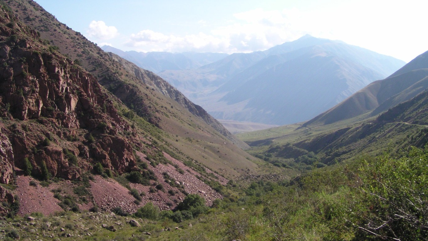
The south flowing river marks the edge of the Suusamyr Too (range within Tian Shan Mountains that we have been in).
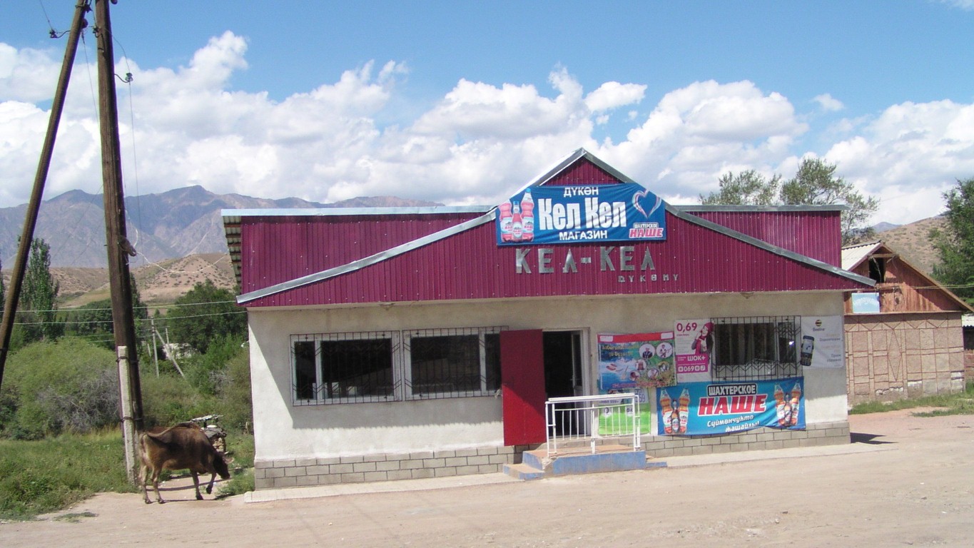
In the last couple of days we've seen a handful of moving vehicles. There aren't many more on the main road.
Just needs some white paint!
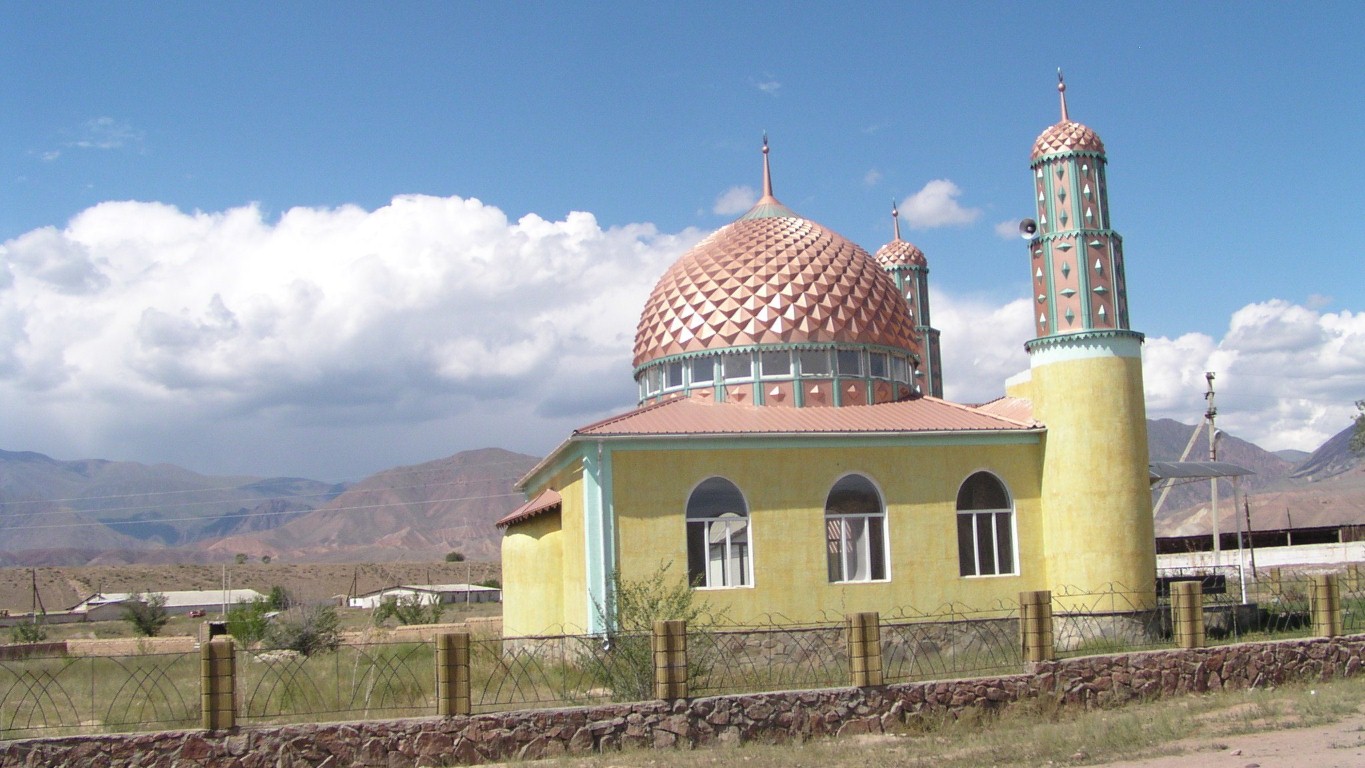
Another of those wonderful mosque domes.
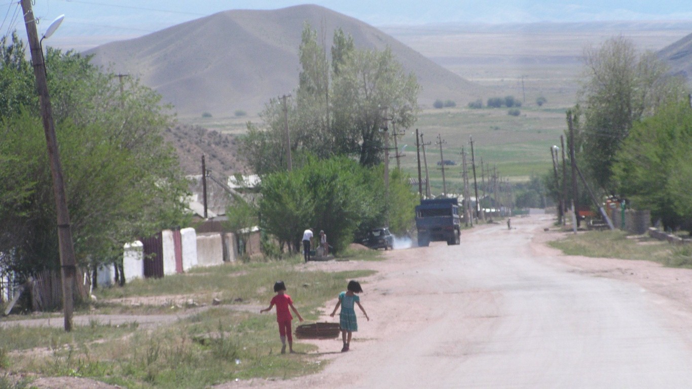
These two children are carrying flattened cardboard boxes.
They also had broad smiles and waves as we passed.
Mostly we get a nod, or a raised hand.
We also noticed in the mountains the young girls head calmly to the gers as we approach. Apparently kidnapping brides is making a comeback. Cheaper than paying the bride price.
Visible above the girls' heads is a well. None of the above ground water reticulation we've seen in other Soviet influenced towns and villages. Wells with hand pumps. We noticed it first in Talas and its been consistent.
It could be as simple as the water table being more accessible.
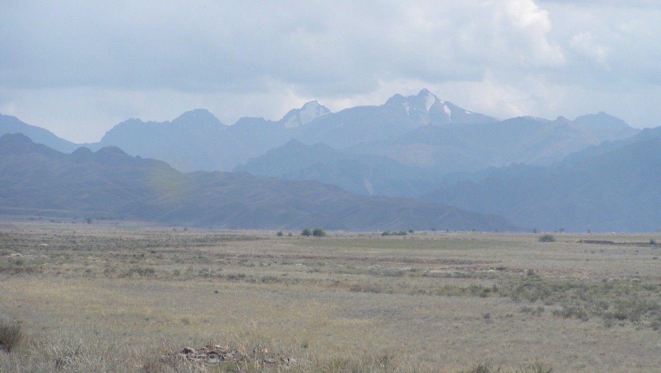
The Moldo Too, the next east west ridge for us in the Tian Shan Mountains.
Knowing a bit about how the tracks were created (for wool production infrastructure) and that the alpine lake is surrounded by good pasture we think there's a reasonable chance of a good track.
We suspect some of the internet descriptions of access to the lake have been written by people not used to this sort of land, who were driven rather than drove, and were here at a different time of year.
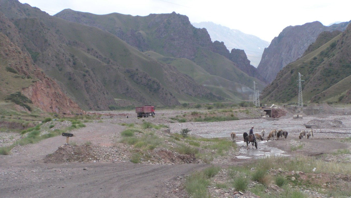
Follow the herd. Across the river bed.
The bridge is being repaired.
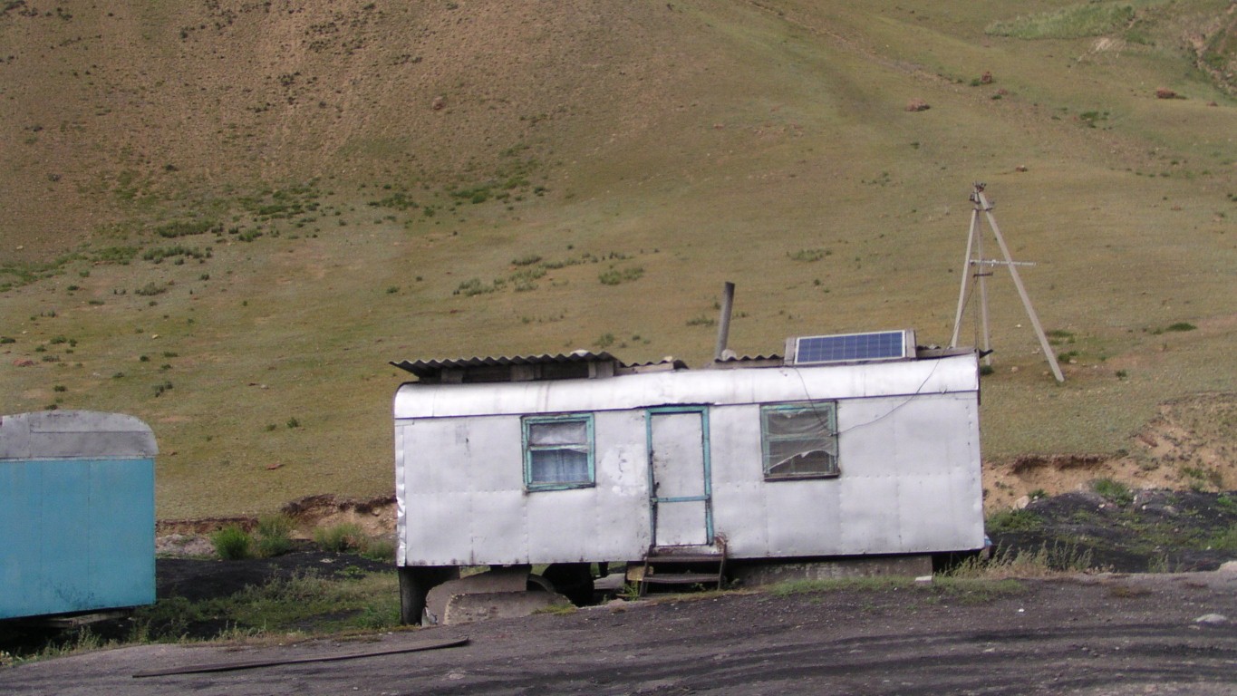
Here they are workers' accommodation for a mine.
The solar panel we can understand. The tv aerial is a bit of wishful thinking.
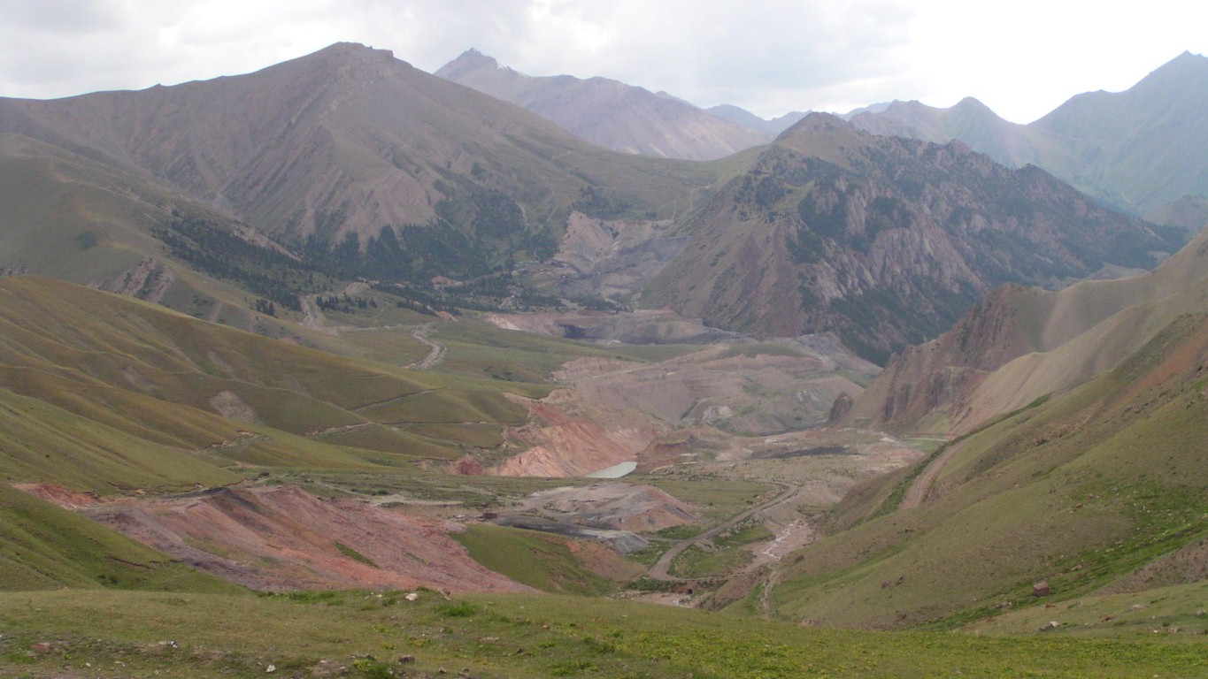
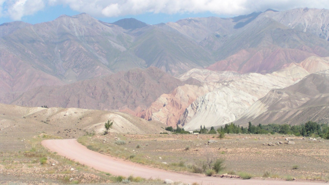
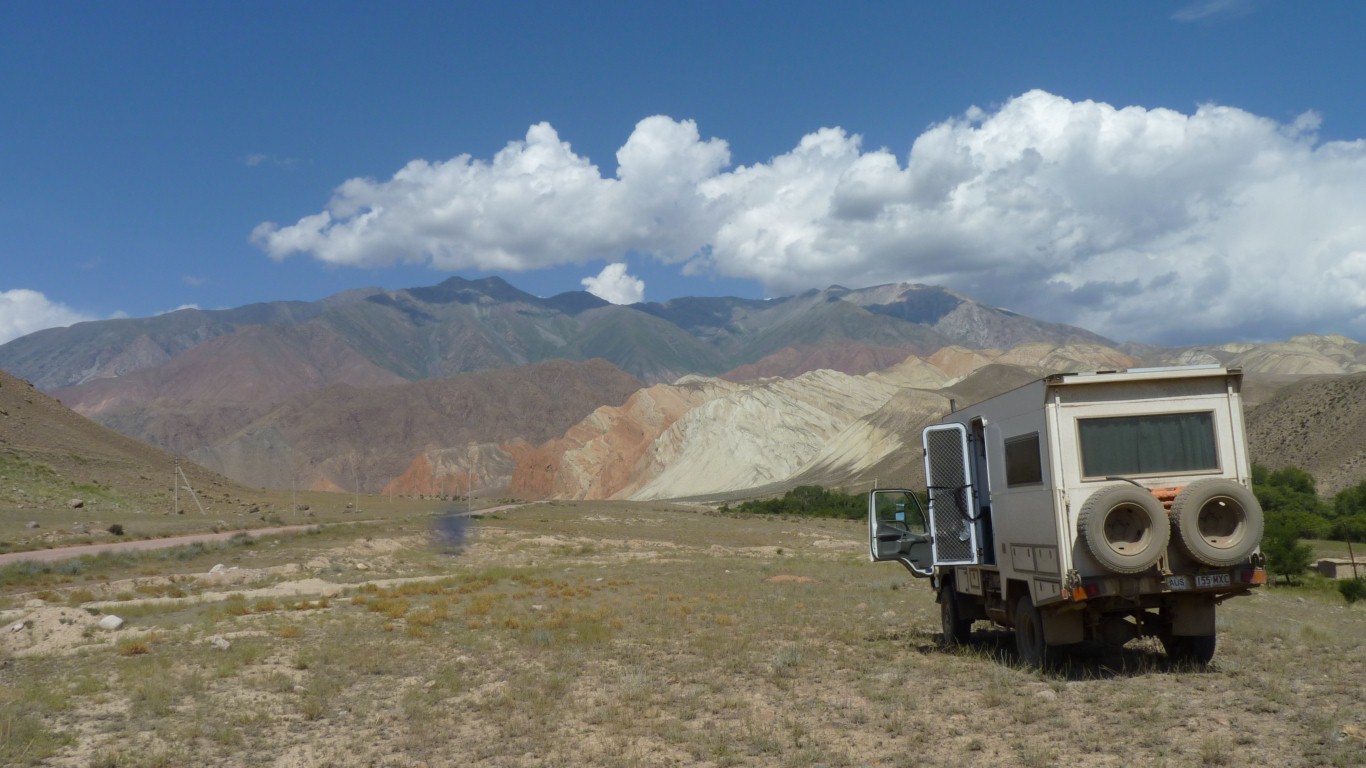
Looking back its quite extensive. And shows us the colours under the earth.
There's a little suggestion of coal. But not enough to explain the large area.
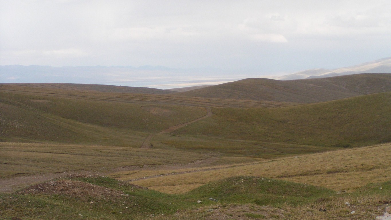
The lake is in the distance.
About 20km.
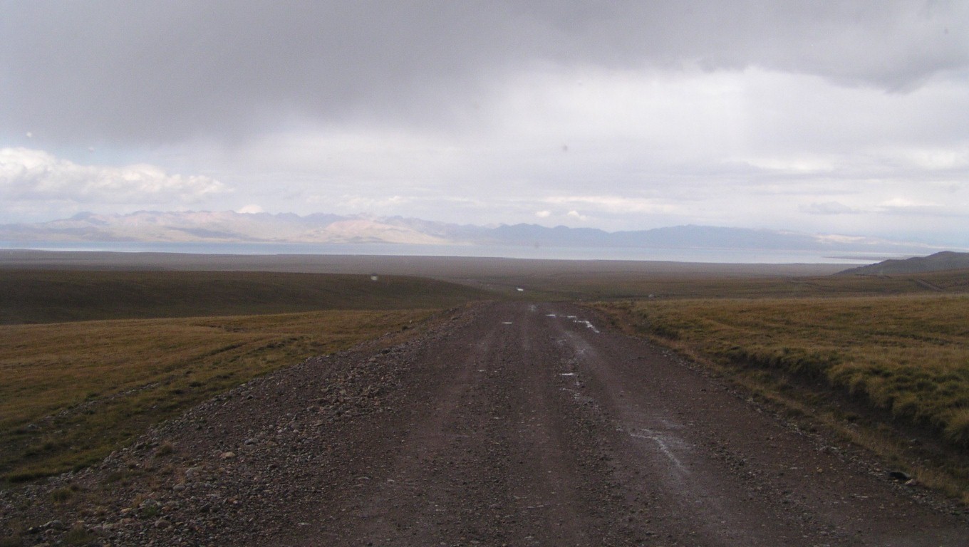
The track is formed, all weather gravel.
With the occasional pot hole and thin patches of surface mud.
Nothing to deter us.
We now know differently.
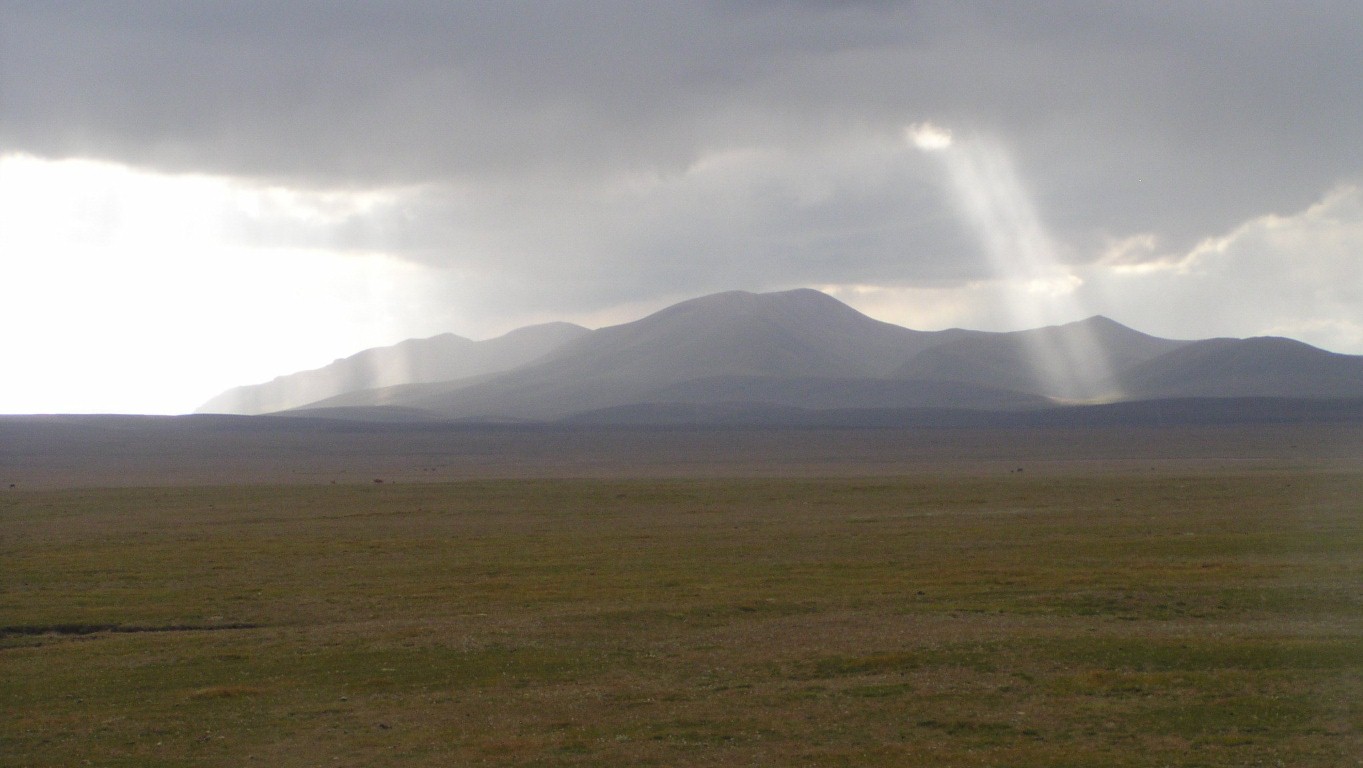
Fascinating watching as the skylights moved over the mountainside. Searching for we know not what.
Our intention is to drive round the north. There's a track round the south which is further from the shore. We believe they join at the east and a track out. The "normal" tourist route to and from the lake.
After a couple more km the formed road deteriorated.
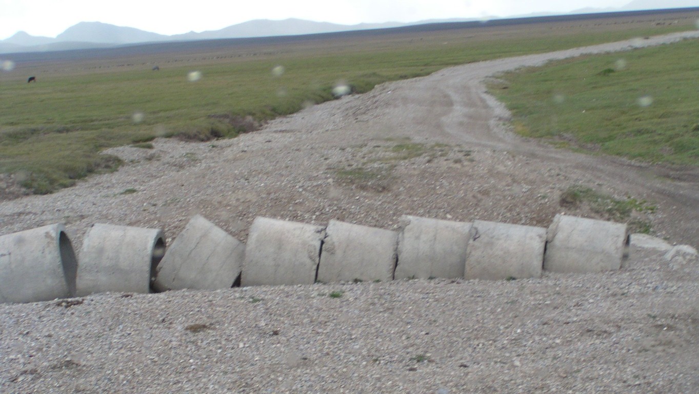
Not sure if this culvert had been washed out or never completed.
There's no way of joining the sections. Which explains why some of the culverts we've crossed in the last few days have holes in the road.
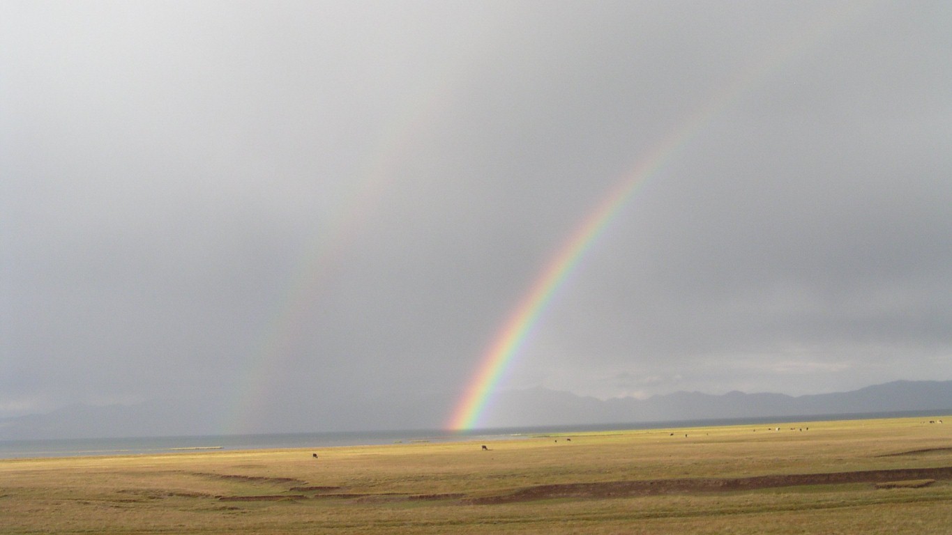
This was particularly vivid.
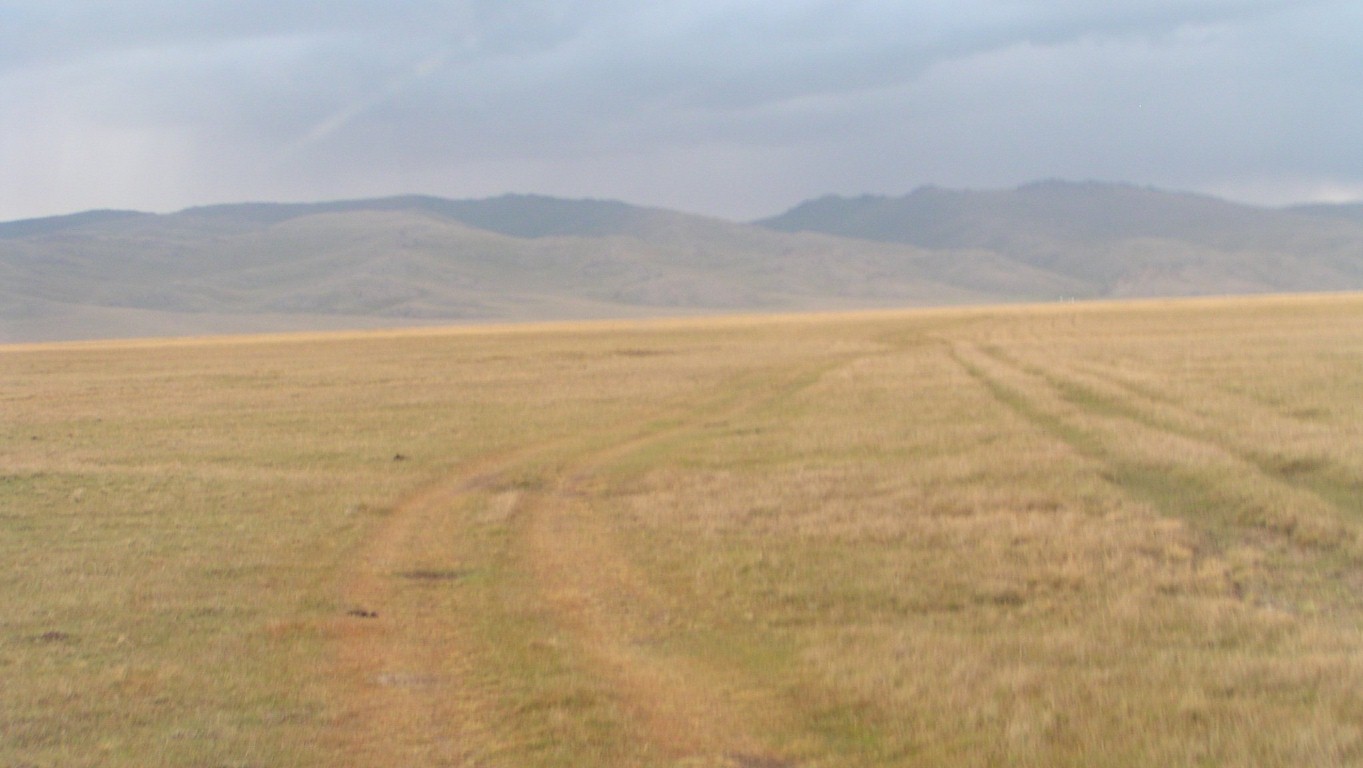
Which has now become tyre marks.
We think we can see track on the hills through the binoculars.
The herders' camps are typically one or two gers.
On the far shore, where we will pass (about 10km round the lake), we can see a string of 15-20 gers close together. Hallmark of a tourist camp.
Which hopefully means there will be a well driven track we can reach.
The middle of the almost flat floor of a very wide valley.
And woke early to a cloudless sky.
Albeit a bit chilly inside at 5°C.
Cured by staying in bed and dozing a bit longer, our heater, and the sun on the back window.
We are more than a km from the shore of the lake.
Having savoured the moment we discussed at great length whether to simply stop, or move round the edge of the lake to the hills, and hopefully closer to the water.
Its amazing how time can be spent when there's plenty.
A tough decision! .... you guessed, we'll spend the day watching life at the lake.
Really a no-brainer. A rest at last!