Numerous stopping and camping spots.
The mountains on the other side are just visible.
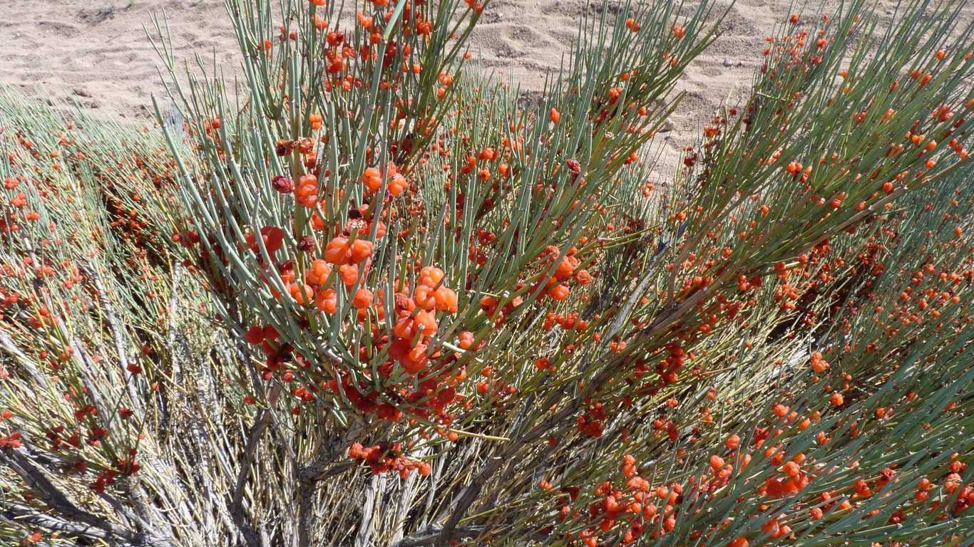
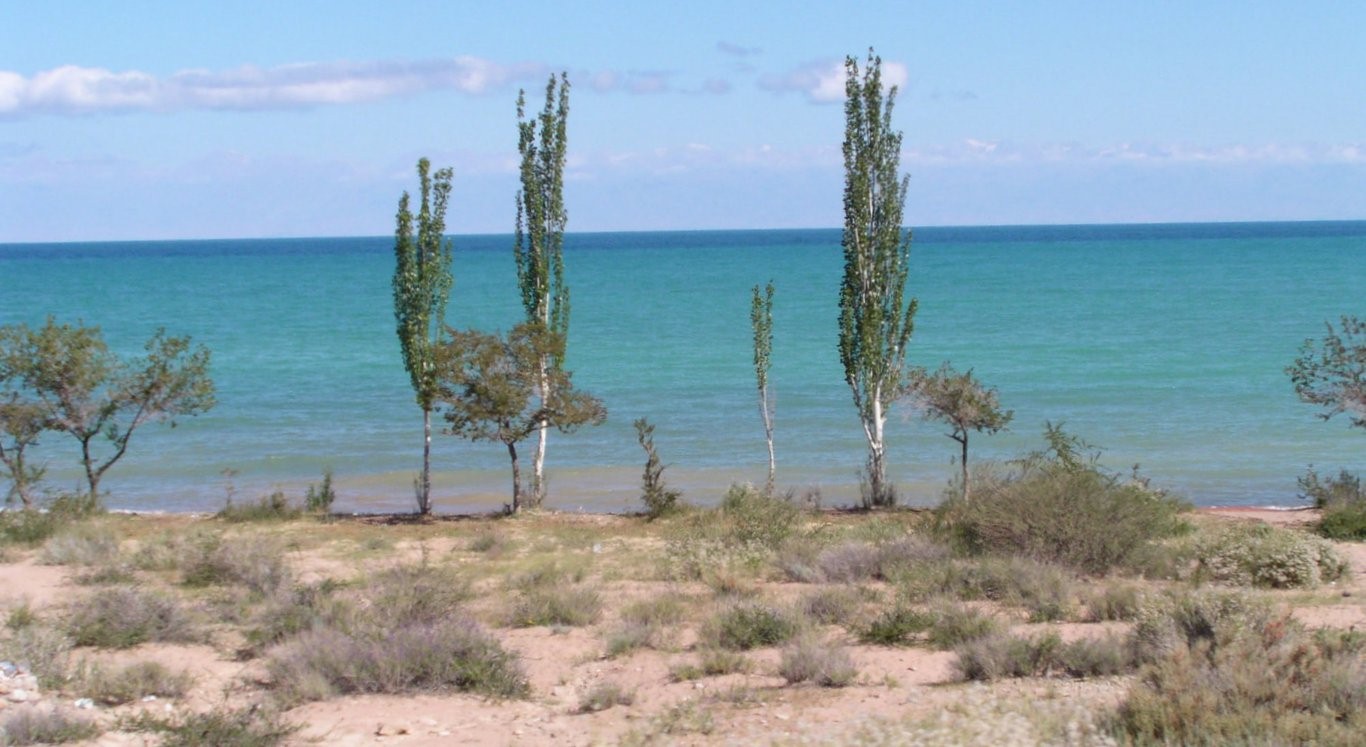
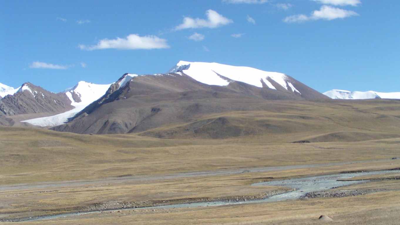
So we get arid zone plants.
When the Russians and Chinese played with borders.
There's a long loop which gets to Karakol.
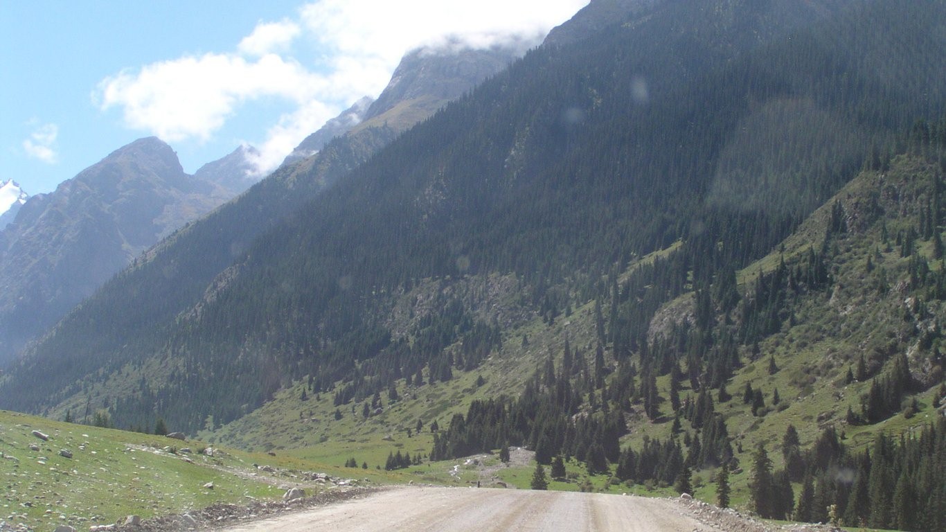
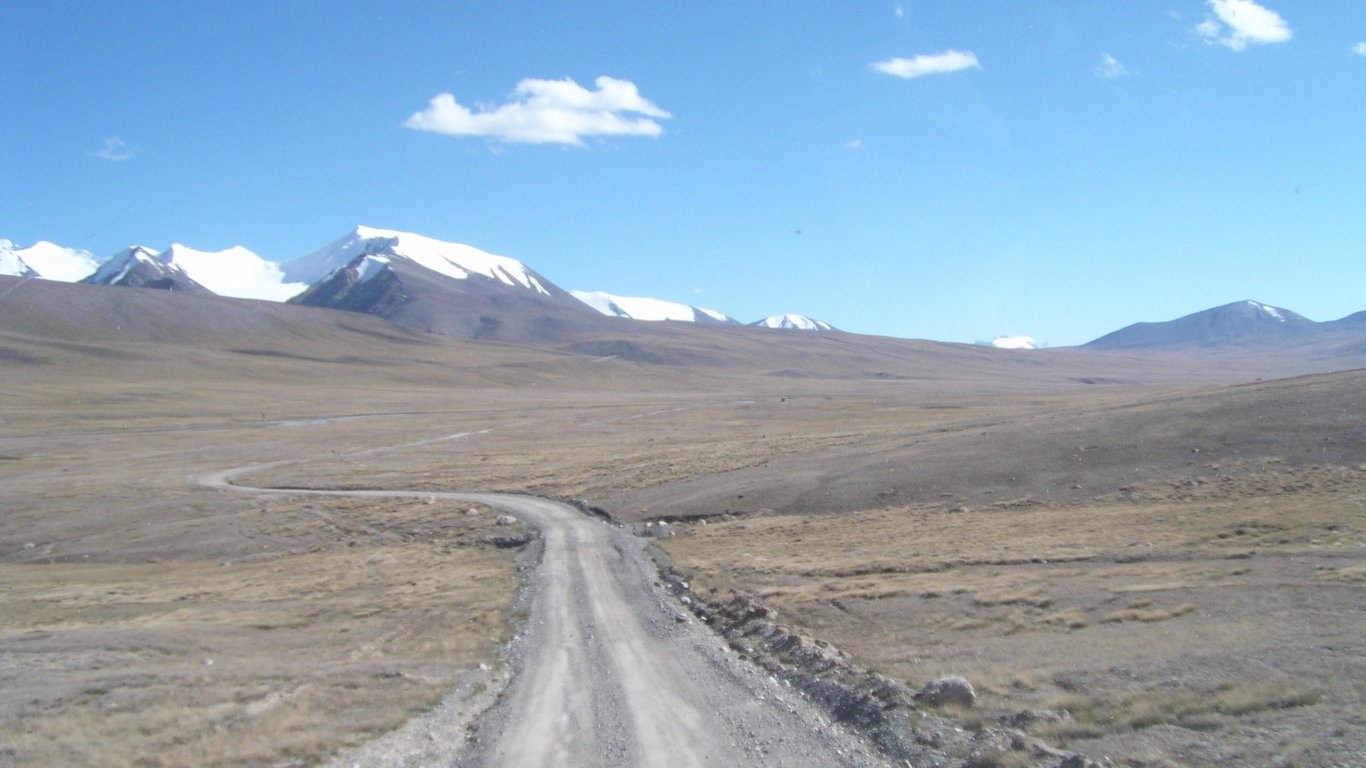
Superbly maintained gravel road.
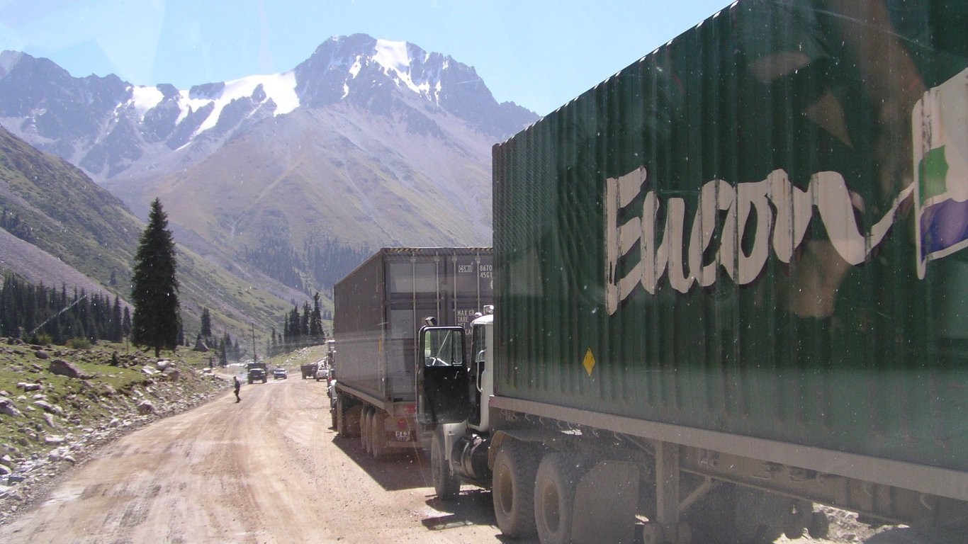
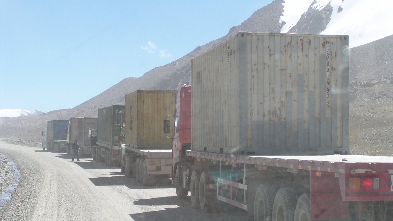
The trucks move in convoys of a half dozen or so.
They stop for a break every so often.
Further up the dust takes over.
There's another convoy in front of us.
Carrying six tyres for big ore caryying dump trucks
One of two we saw broken.
Its a long steep hill with more than 30 hairpins.
A bit of second gear for us.
Before a long level stretch.
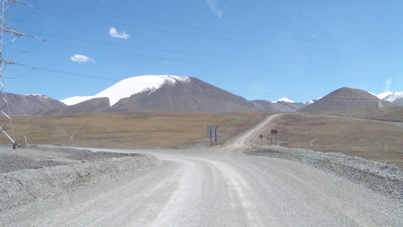
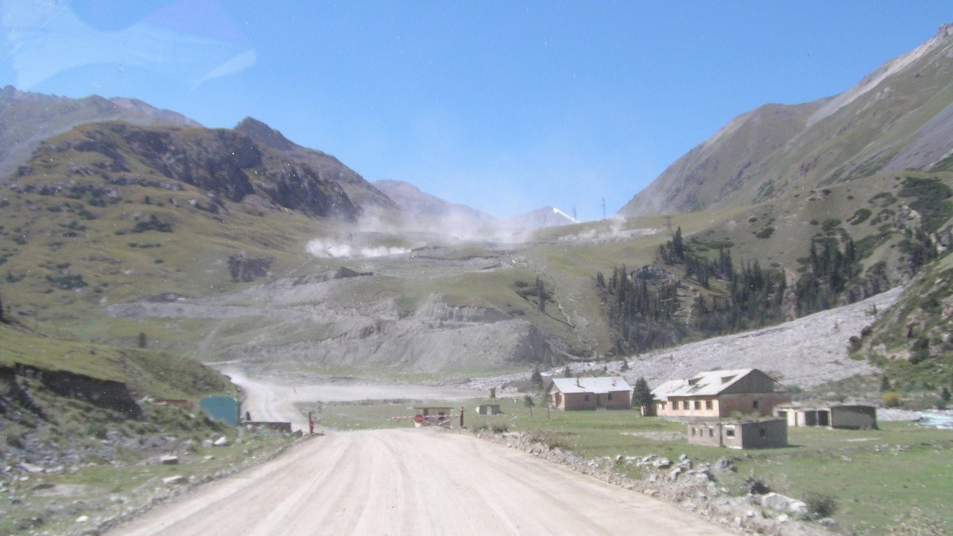
The road to the mine veers left. Its not marked on the map.
We should have gone straight on.
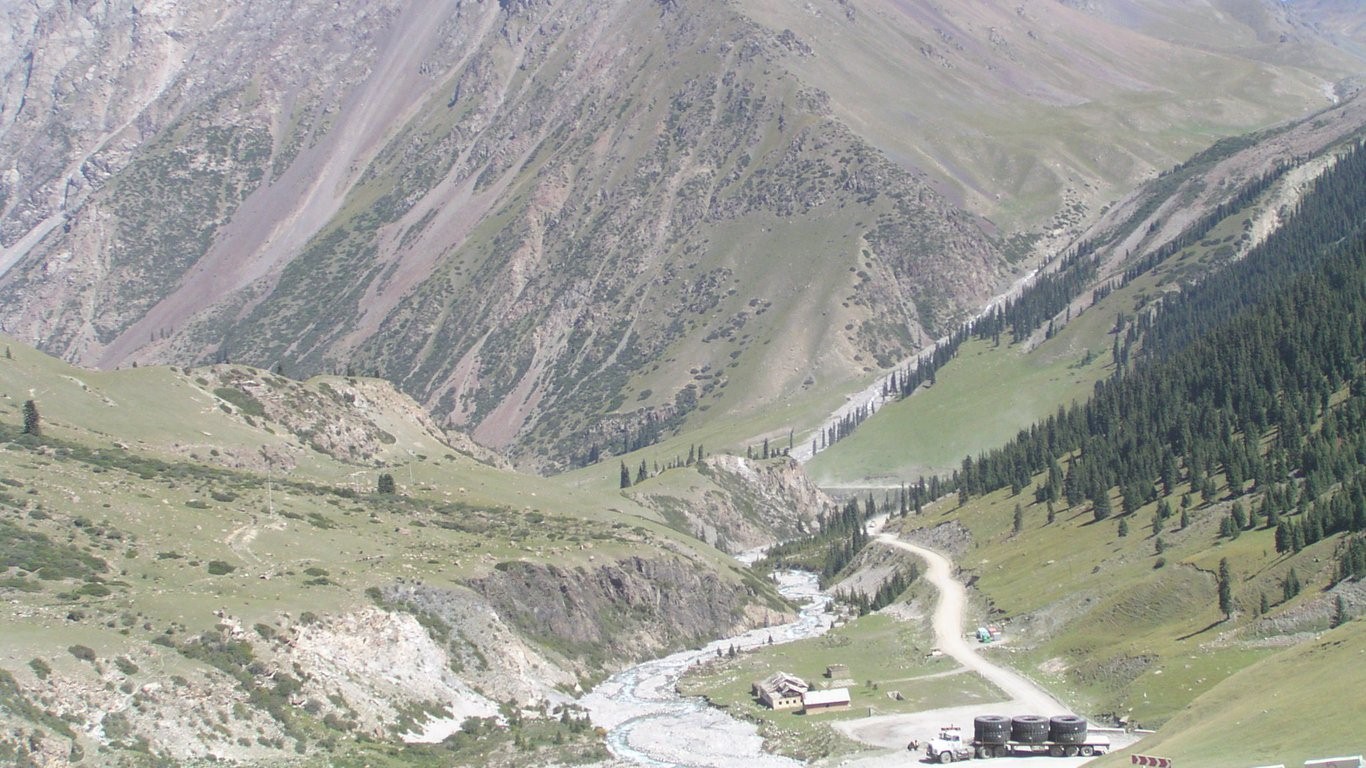
We drove quite a way up the creek bed for lunch.
Not a clue what the red "side on engine" icon meant. I need an operating manual not the maintenance manual I have!
An oil change has been on the agenda for a while. Checked oil with dipstick (instead of dashboard switch). Ok. And there's a separate oil pressure warning light that's off.
Engine temperature has been ok and no water loss. Alternator volts ok. Air filter seems ok after shedding a bit of dust.
Engine starts ok but red light still on.
Thought it might be altitude, 3768m, so headed for lower ground. I didn't want to get up next morning and be unable to start.
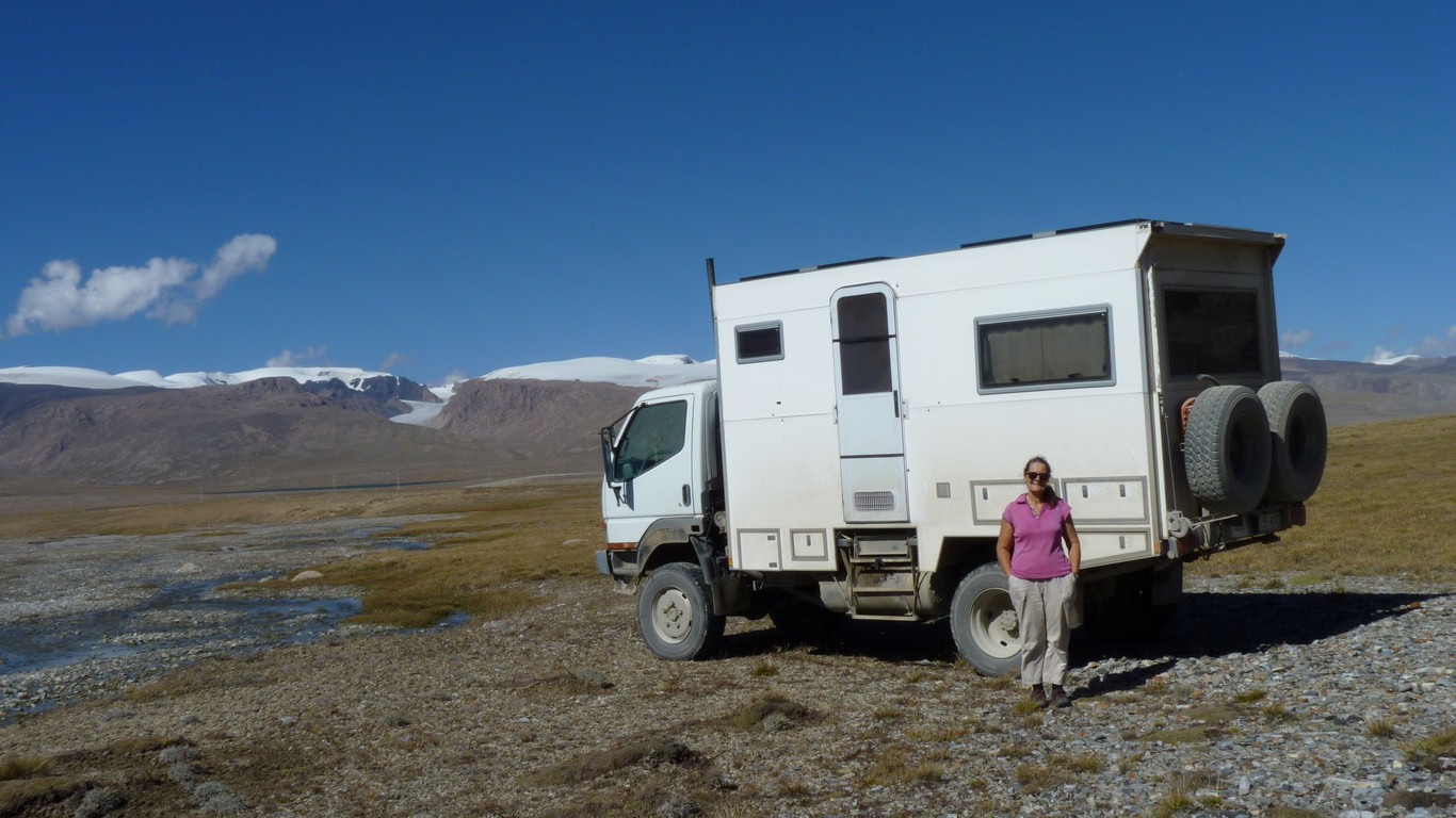
After a we wus here photo.
The light went out after about 30 seconds..
Very confusing. Fuel starvation usually means the engine stops, but never a red light. And there's still a couple of hundred km in the low tank.
After a while switched back to the bad tank. No light (yet). But we need to know what it meant.
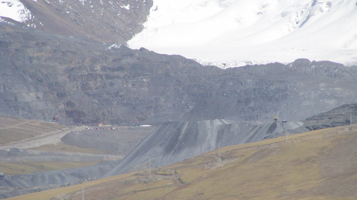
This is as close as we got to the Kumtor Mine. Gold. Its big. The ore must be processed near the mine. We haven't seen any gold shipments.
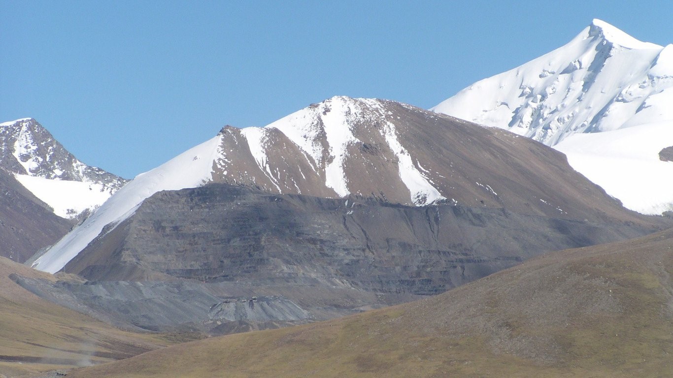
Around 4,000m.
Gold explains the bit of security at the base of the pass - passports and vehicle duly inspected and recorded. No we don't have guns!
Also explained the liquid chemical in one of the supply convoys - probably sodium cyanide.
Yup, they had an accident in 1998 when a truck carrying 17mt of same fell into the river.
Its majority Canadian owned though Kirgyz government have taken an increased interest. Between 1997 and 2006 it produced 180 tonnes of gold.
We'd seen a German motorhome earlier. We met them returning.
We were one step ahead, they didn't realise they'd made the same navigation error we did. We are on a track marked 20 km east of the one w'd planned on. Showed them the gps mark on Oziexplorer.
It doesn't really matter. Being "lost" is partly a state of mind. Its all beautiful.
They are on their way home after a circuit through Russia, Mongolia and China.
There was a bridge, and the track we wanted went that way.
And we are getting tired - after a 5am phone call with daughter!
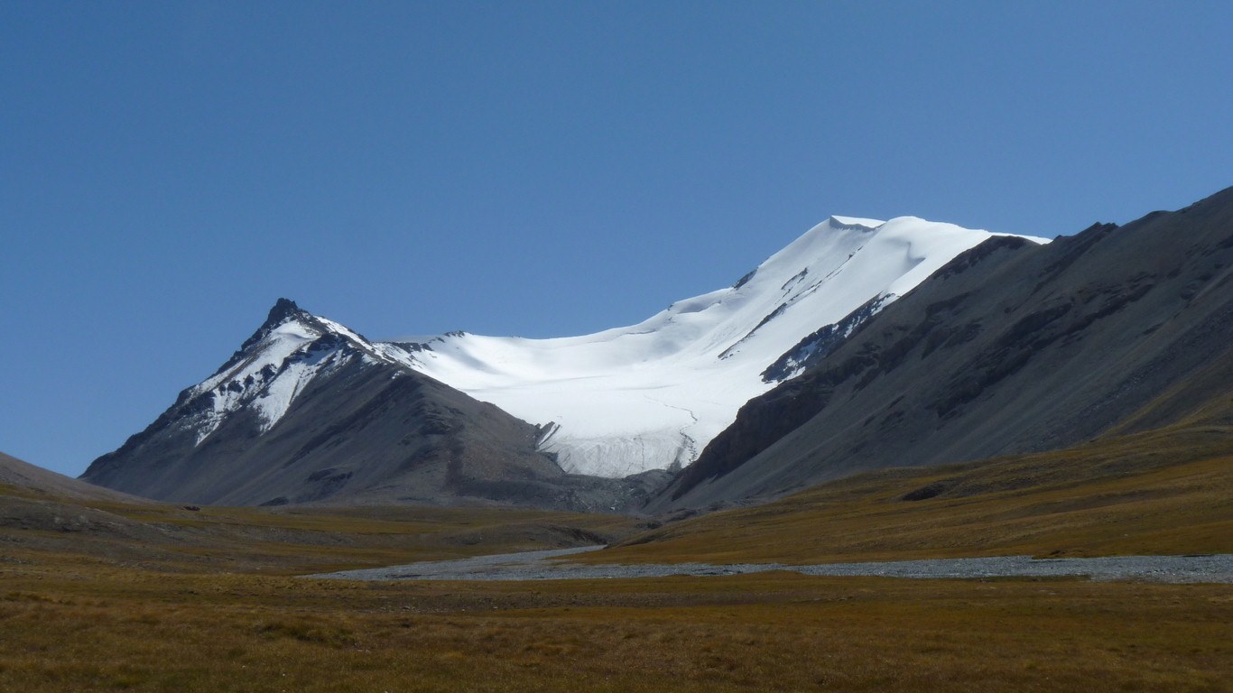
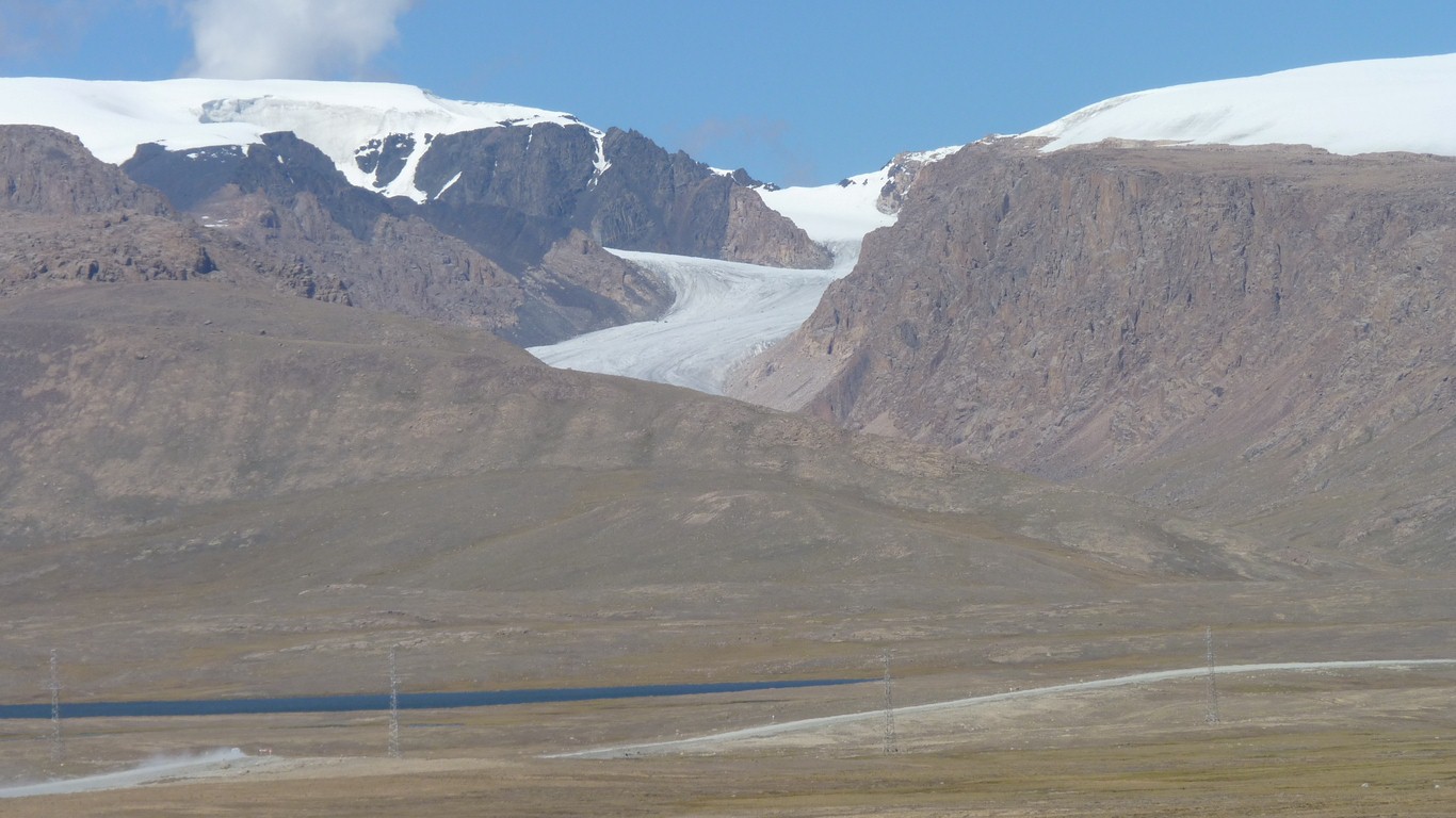
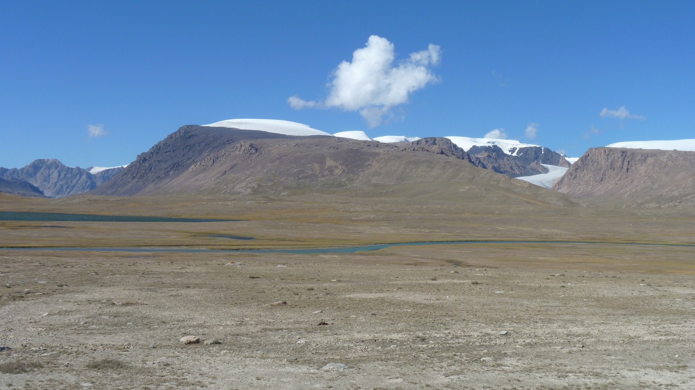
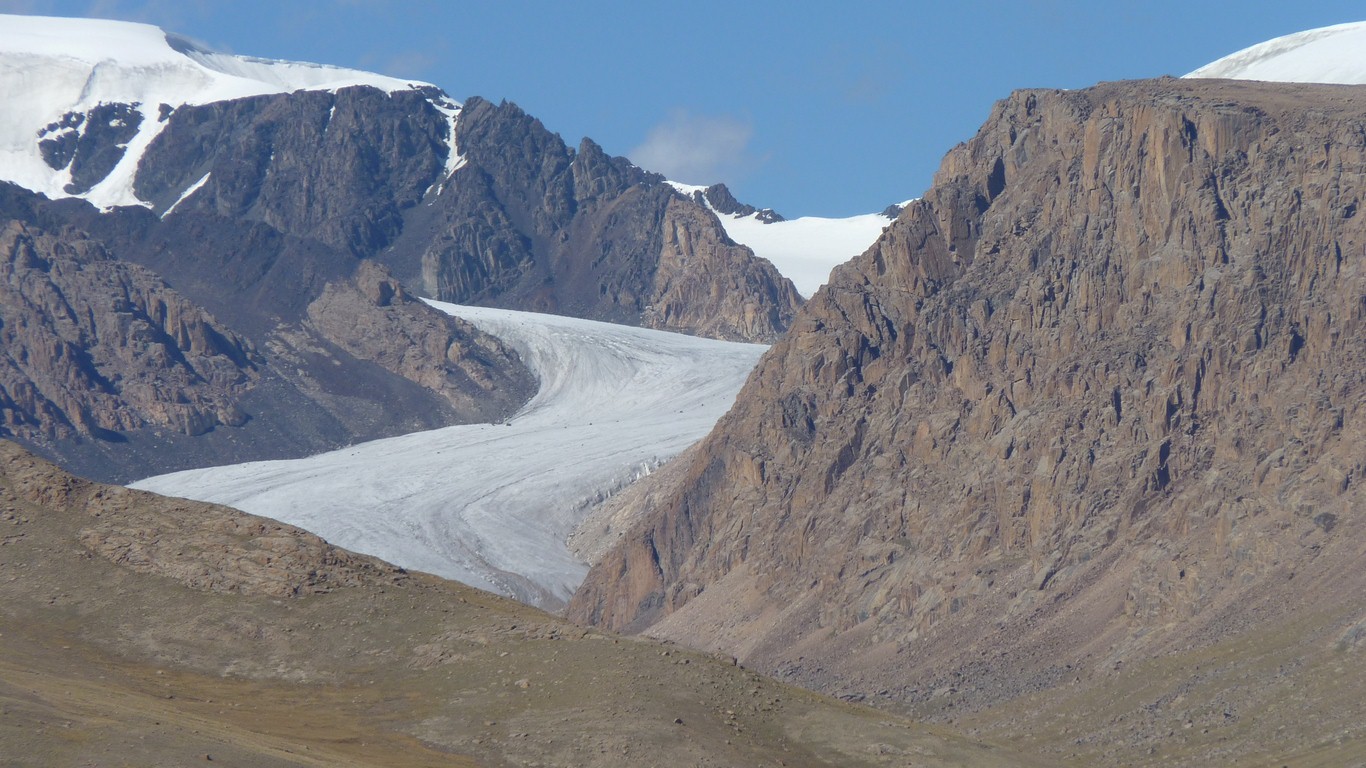
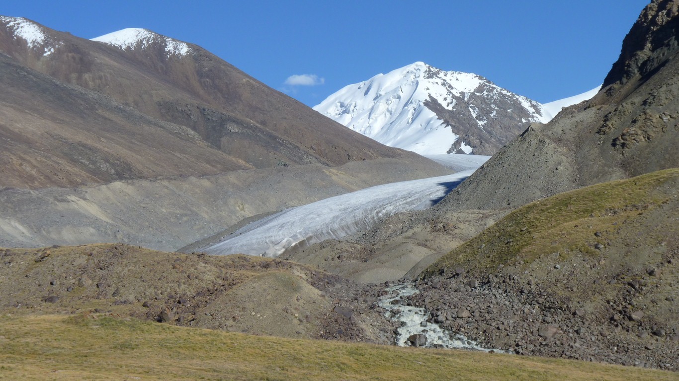
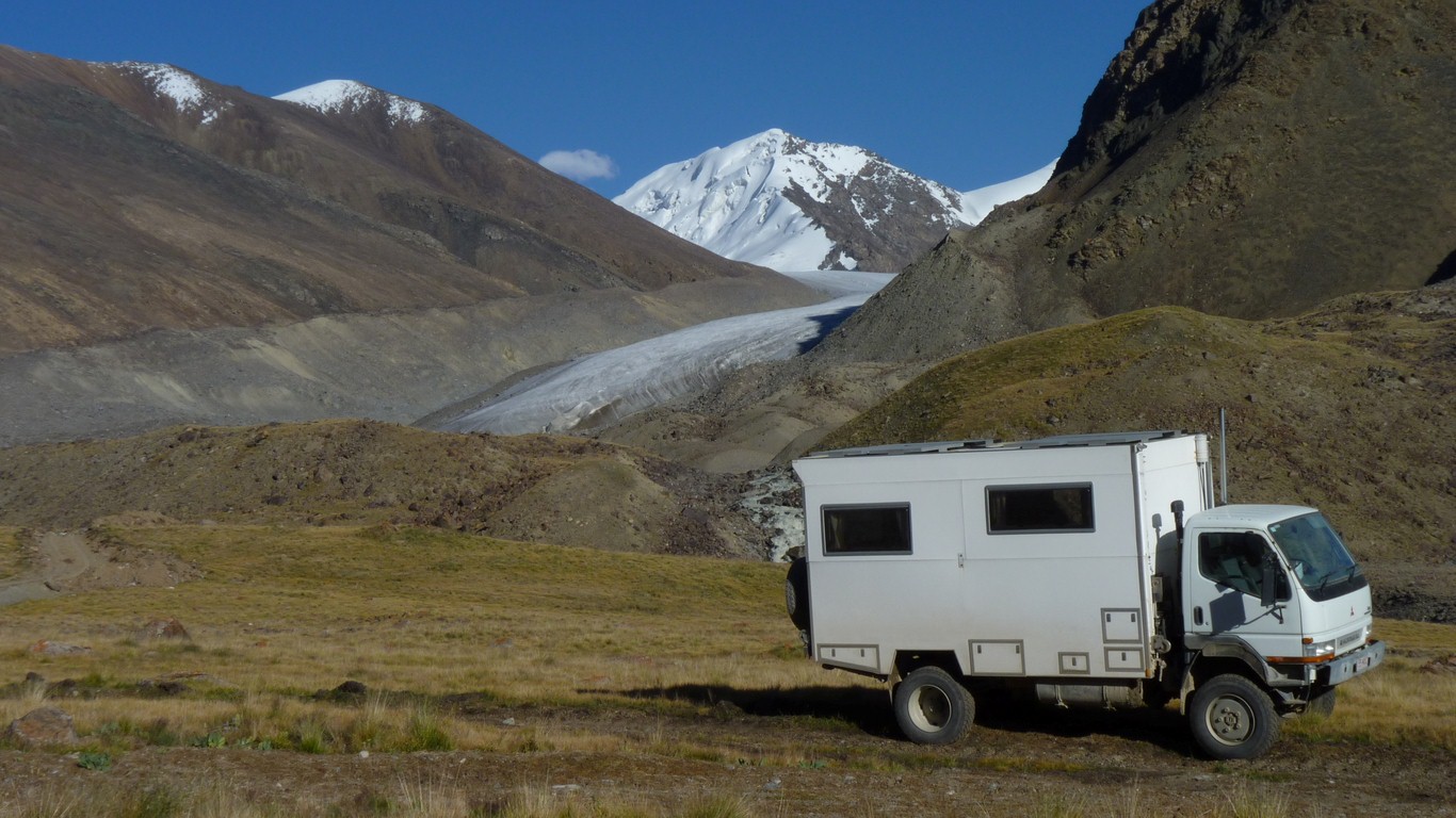
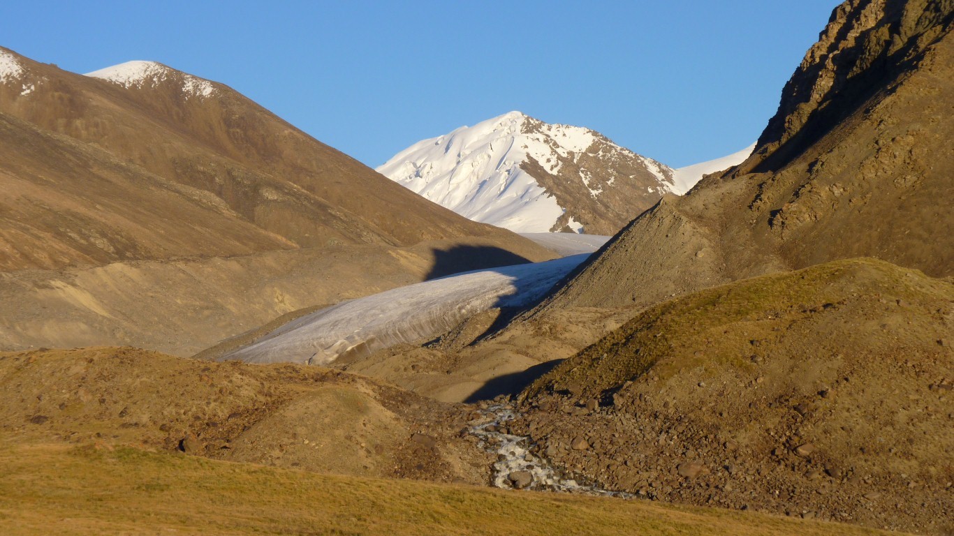
This is yet another glacier we can see.
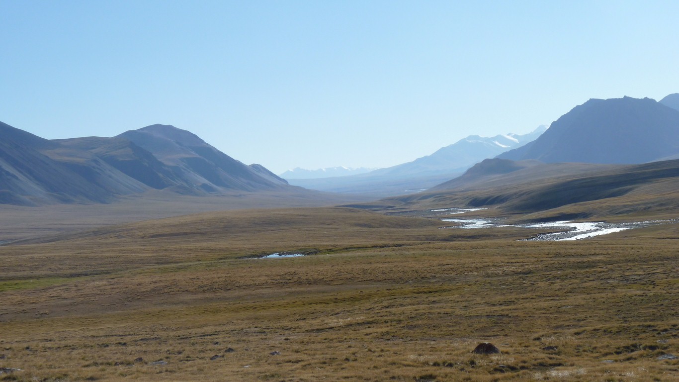
We've seen only isolated evidence of grazing.
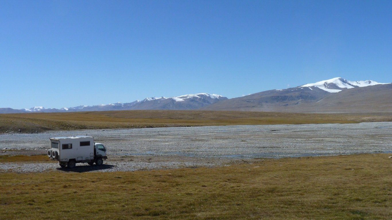
Taken from the window of the truck after we stopped for the night.
Terminal moraine in front of us. Obvious from the lateral moraine the glacier has receded a lot in recent times.
We've pinched ourselves and we really are here. Magic.
On a technical note, we are camped at 3,720m.
Our high camps in Mongolia, for comparison, were around 2,300m.
Apart from a nice place to be this is a good test and a bit of aclimatisation. Lhasa in Tibet is 3,595m.
This is the highest Ali has been. I've been tramping above 5,000m on two occasions many years ago. Once to 5,900m for a few hours. The top of the thermos flask froze.
But aren't we the lucky ones!
As the sun sets slowly in the west (behind us!).
We suffered a bout of nostalgia! Reminiscent of NZ tramping and looking down on the Dart Glacier. About 30 years ago!