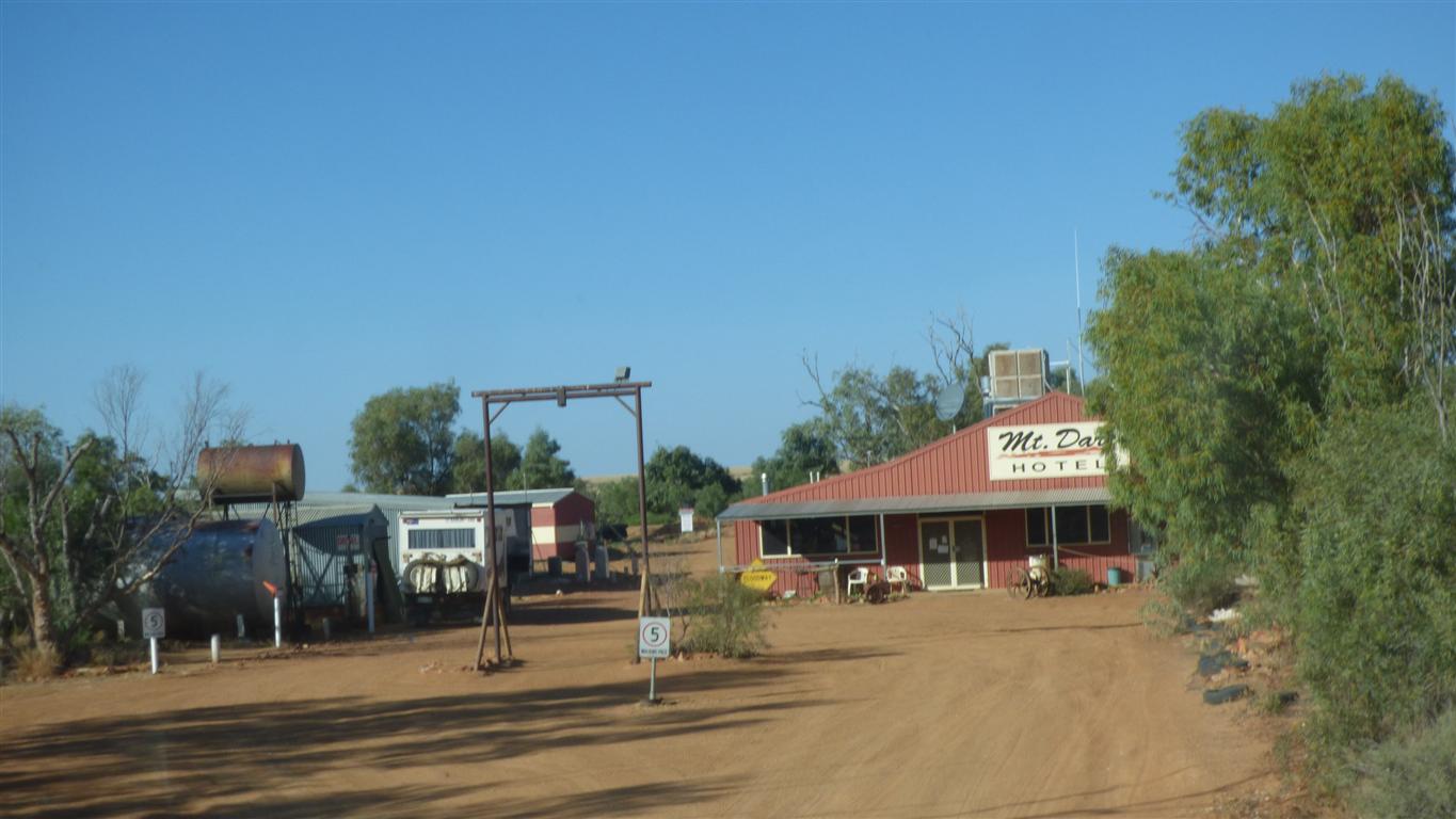
To be sure, we filled with diesel. About one third of a tank since Oodnadatta.
We also purchased our South Australia Desert Parks Pass here.
Valid for a year, for multiple parks, we are mildly annoyed we are paying for something we won't (can't) really make a lot of use of.
It feels like we are paying the fixed costs of head office when our trip is variable.
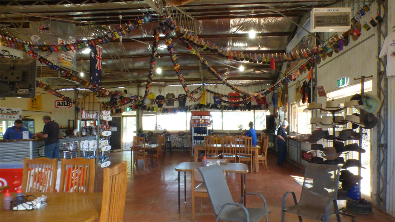
Mt Dare used to be a station. It became a national park. The homestead is now a hotel.
Talk is of "the season" and who has passed through.
This is "4wd country" and we ponder for a brief moment why we are here.
Perhaps a means to an end. Hopefully simple enjoyment of the desert.
There's been a little (10mm) rain at Birdsville which has slowed the flow of people.
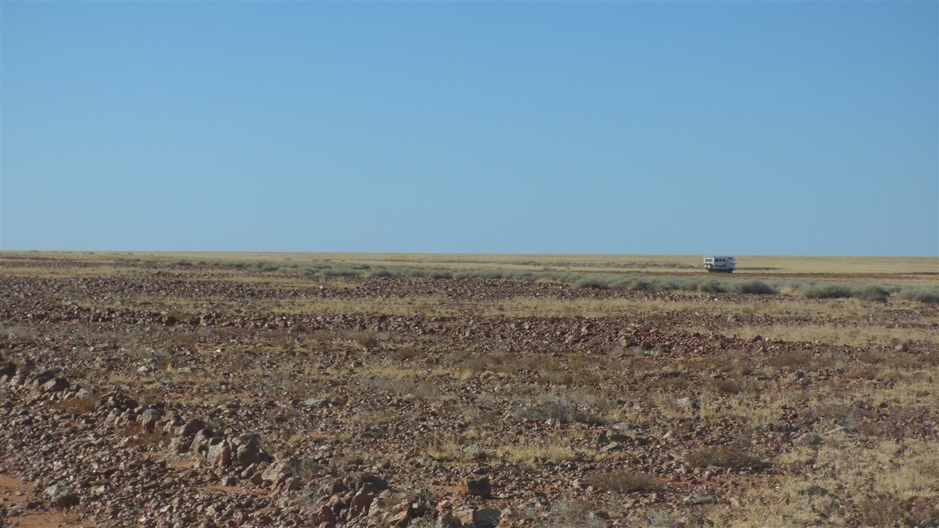
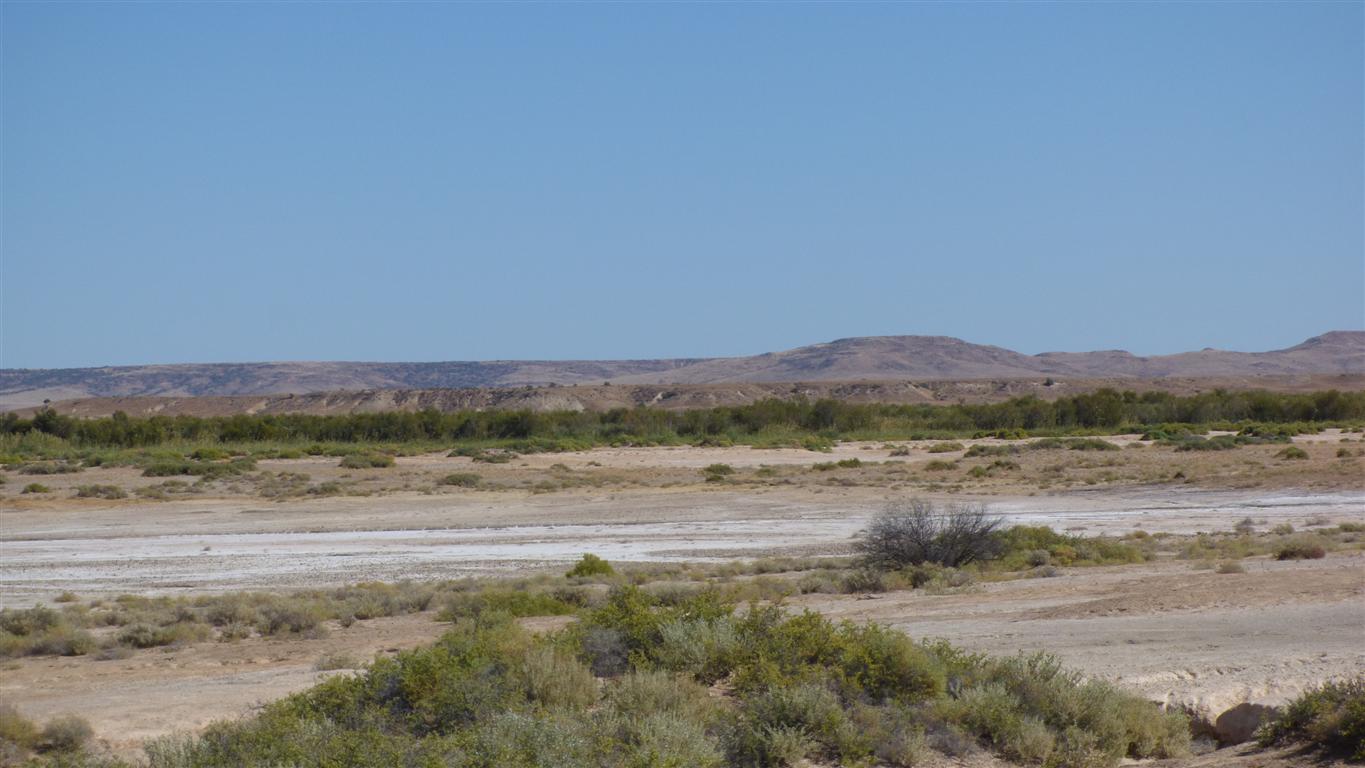
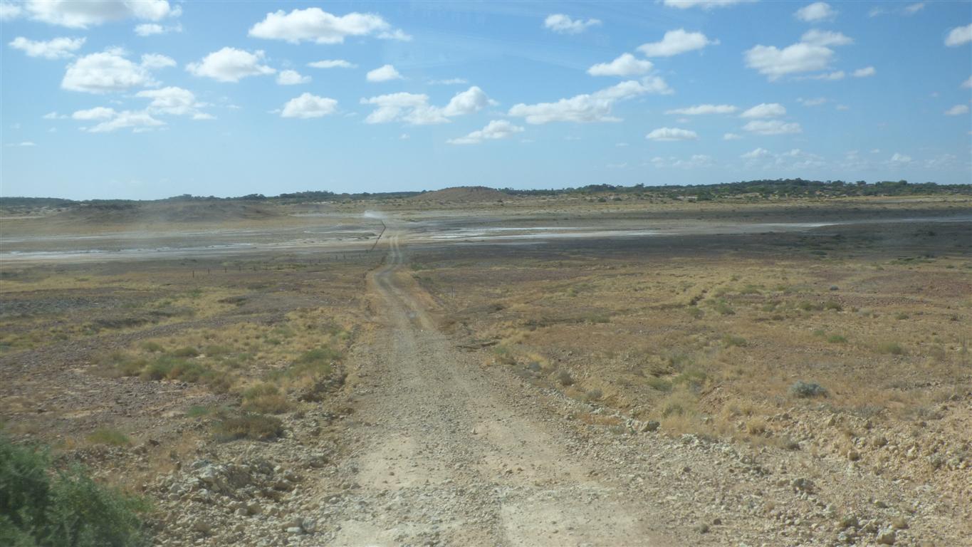
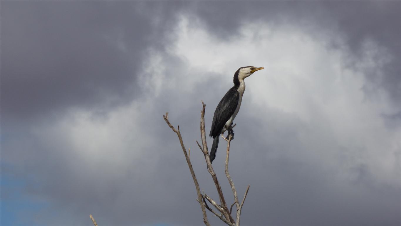
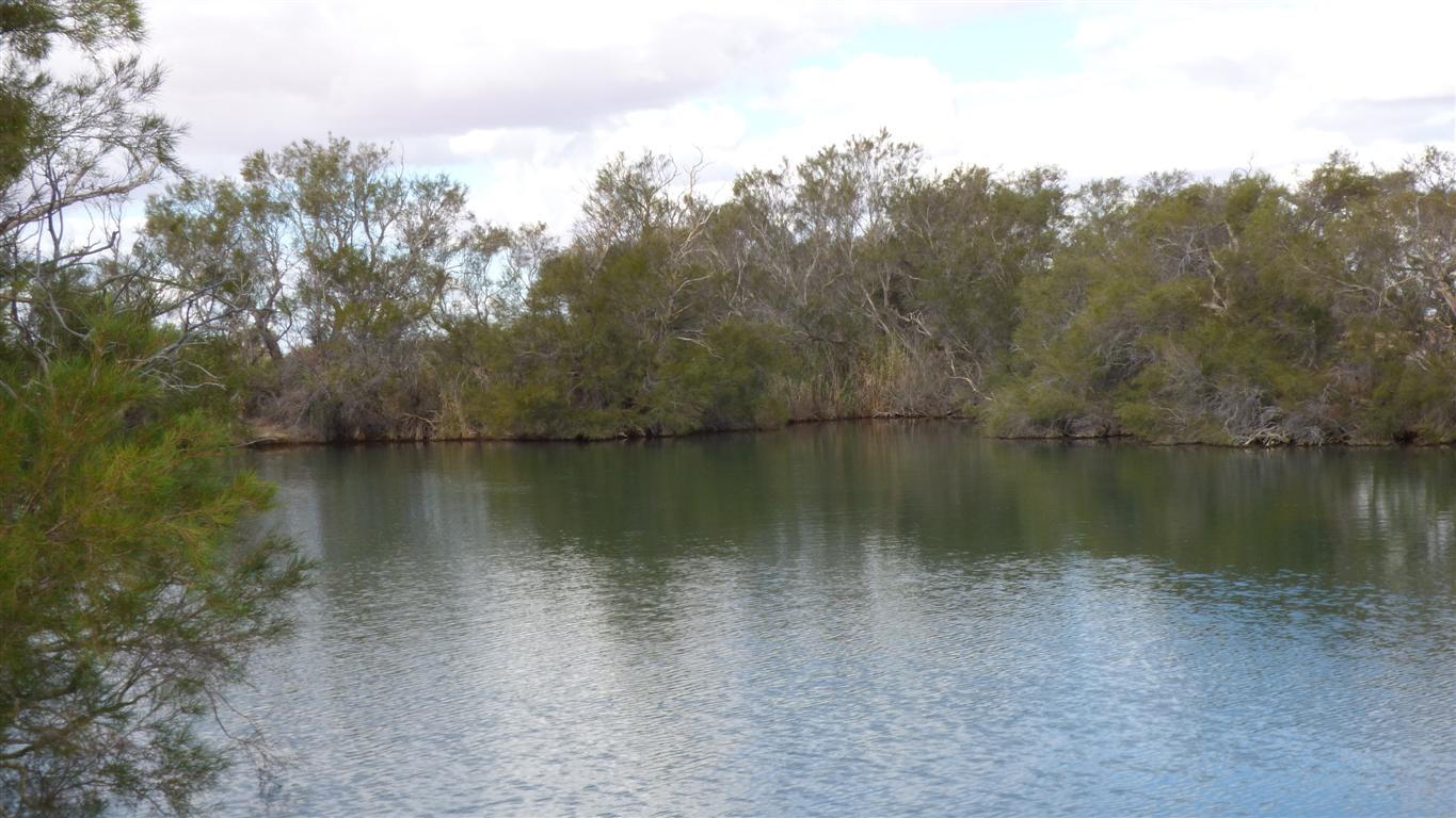
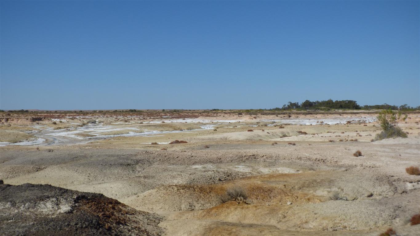
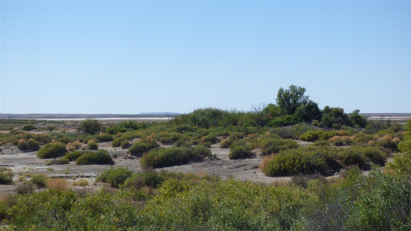
The country is continually changing.
Sometimes abruptly. Always gradually.
Almost imperceptibly, it seems to be a bit drier.
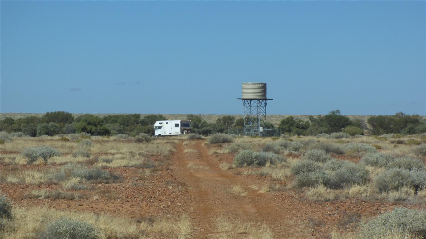
Reputedly good potable water.
This is marked only on the Westprint map provided with the Desert Parks Handbook.
About 15km before Dalhousie Springs.
Or was it Paddy's Play Pen?
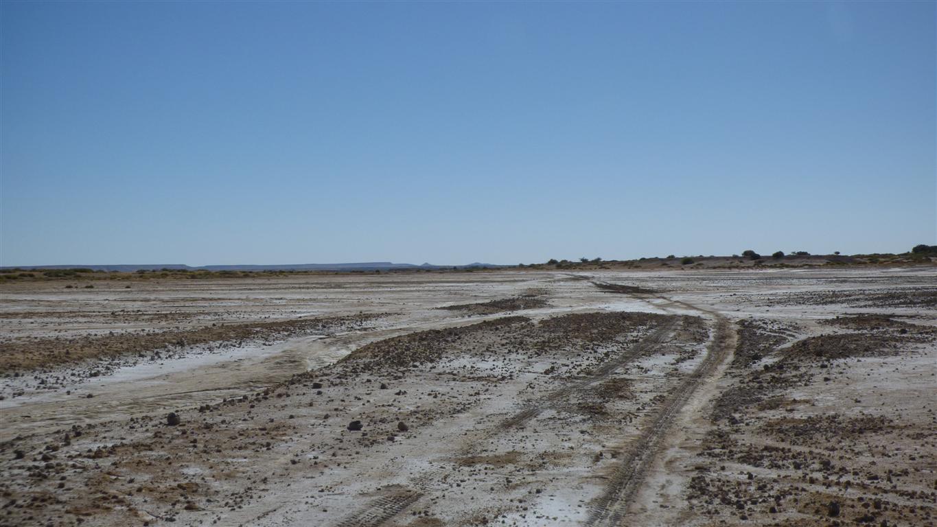
I think its a desert because there is no permanent surface water.
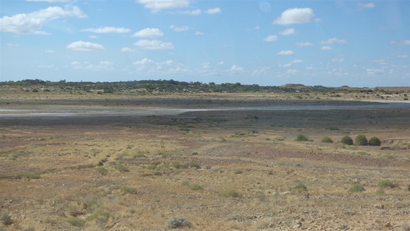
Annual rainfall in the Simpson is about 100mm.
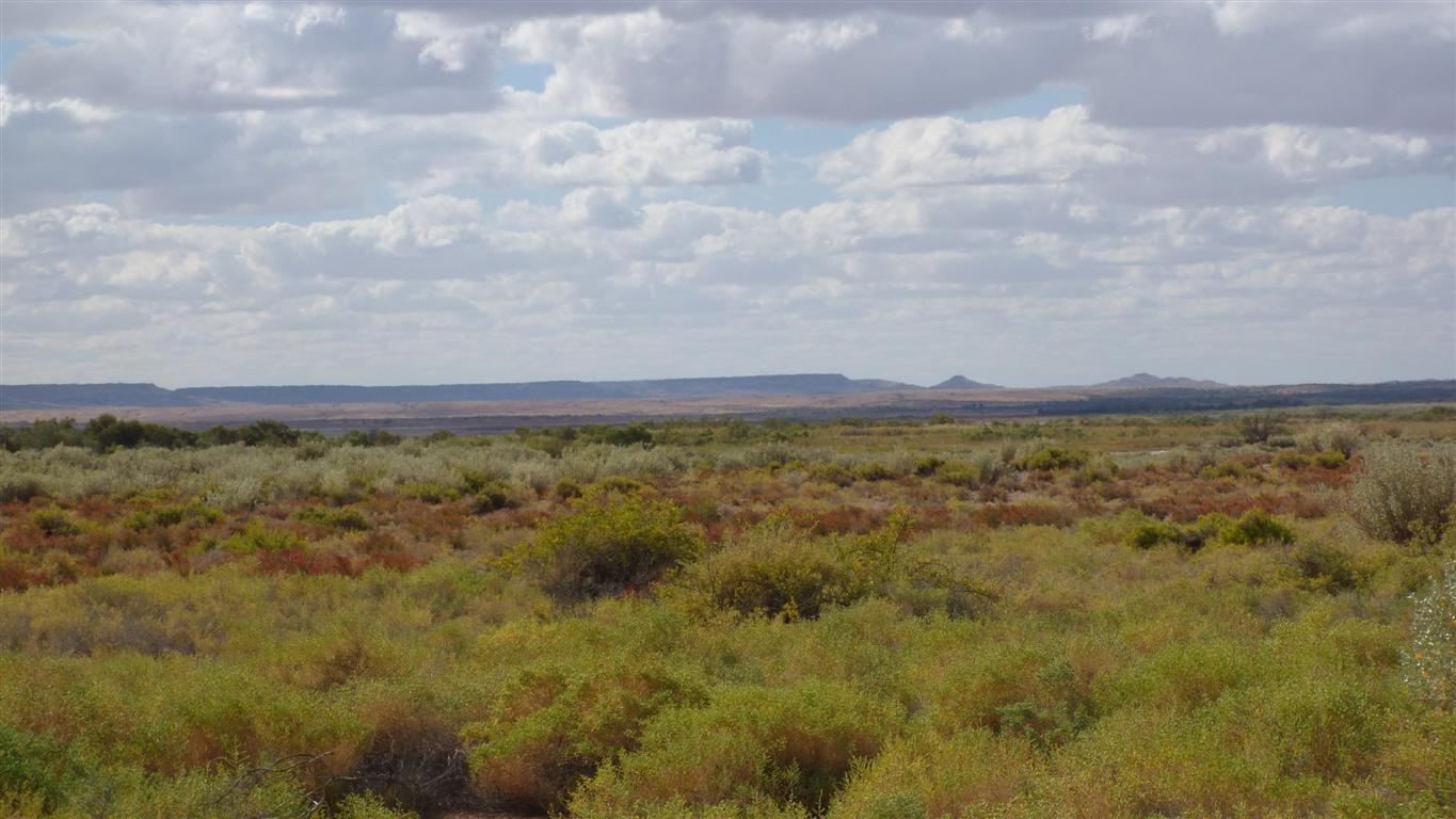
Constantly changing.
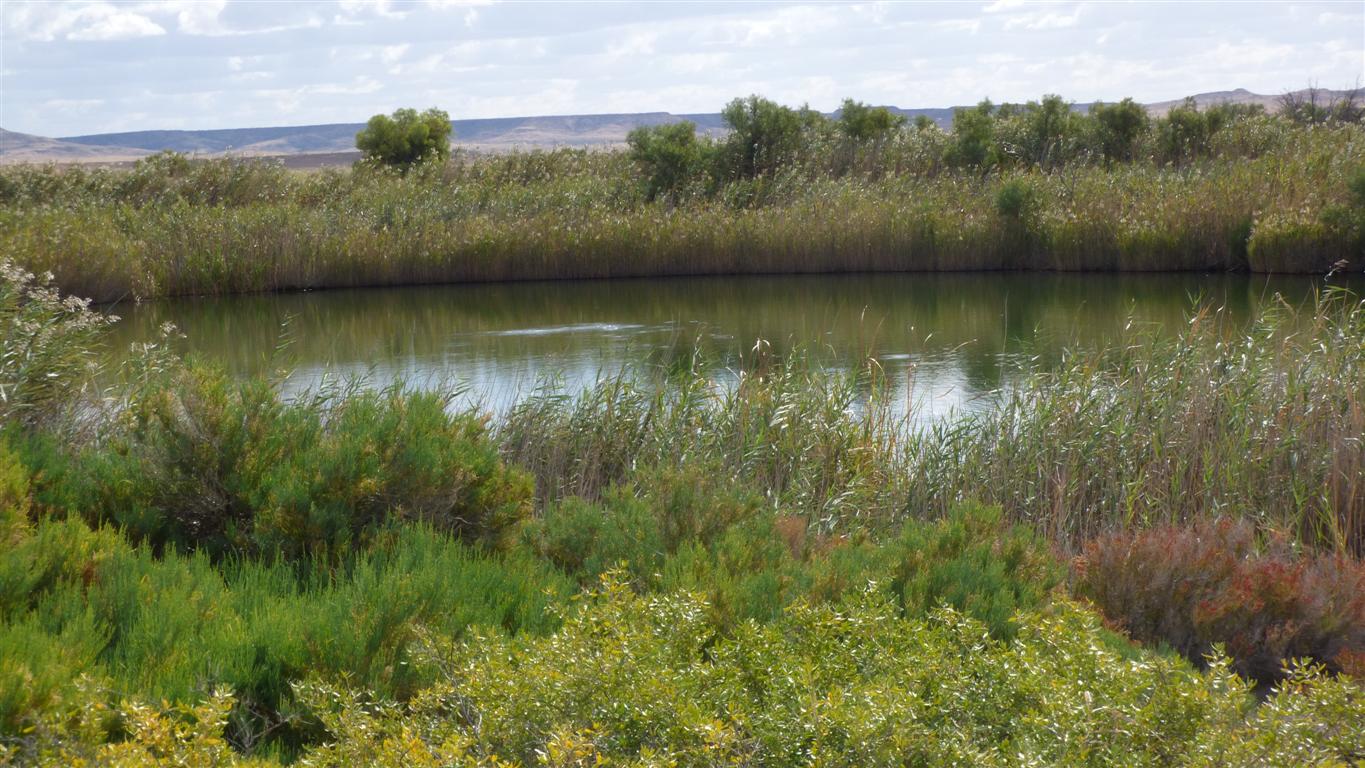
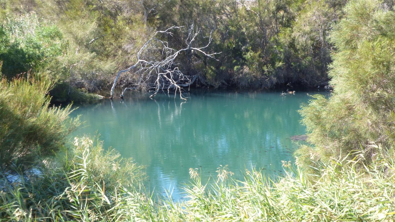
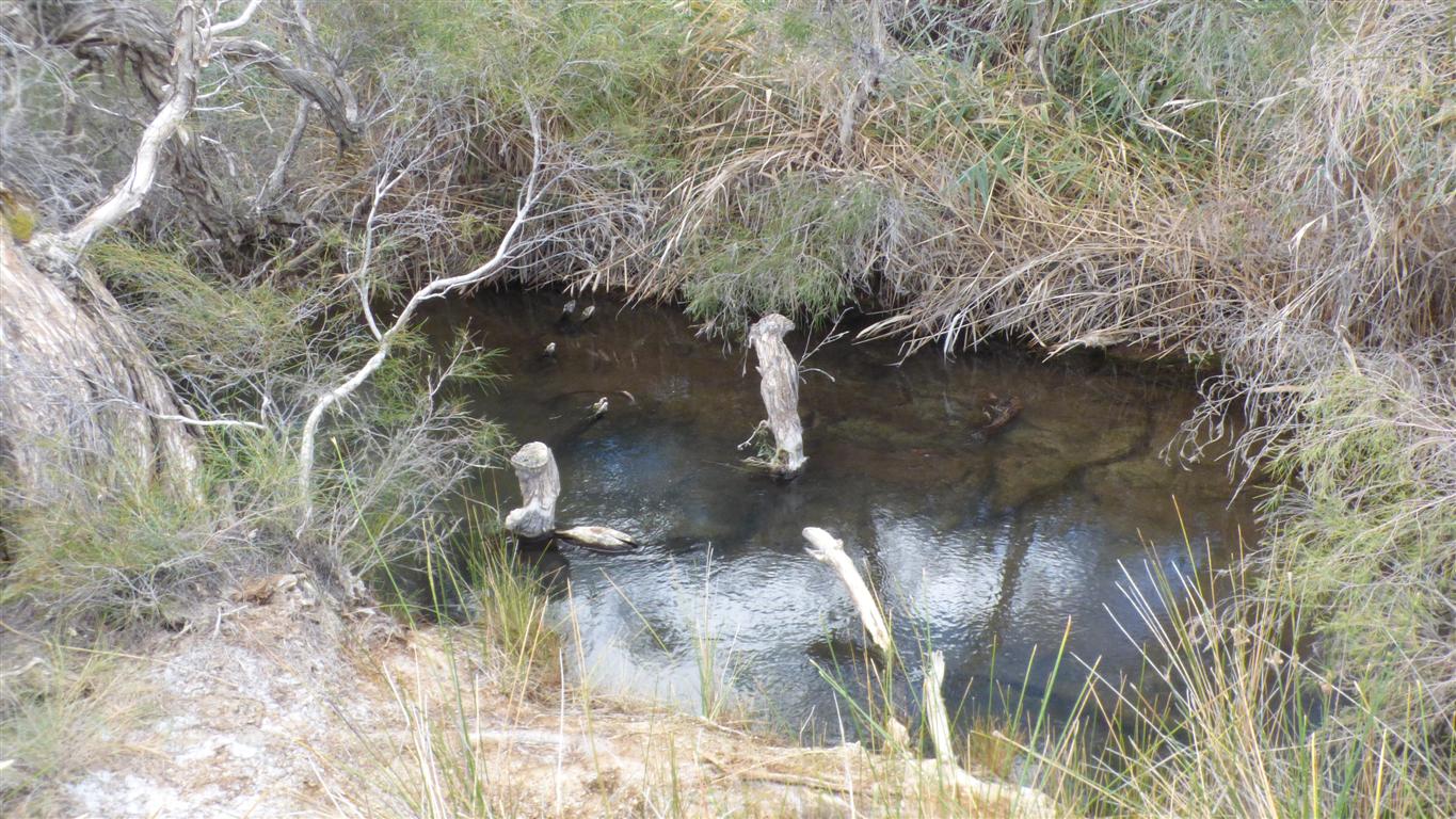
Not the main spring. This is to the west.
There's a track. But not much evidence of people using it.
The bubbly bit in the middle is where hot water rises.
A big mound spring. The water flow has been sufficient to keep the vent clear.
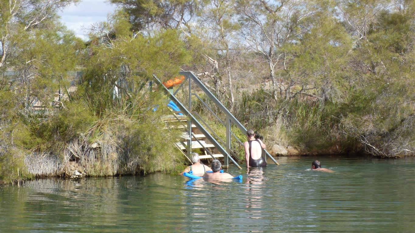
The water is a warm 38 deg C.
Body temperature.
We are on the opposite side of the spring, there's a bridge for our return.
For now sufficient to contemplate nature.
The springs feed, you guessed it, Spring Creek.
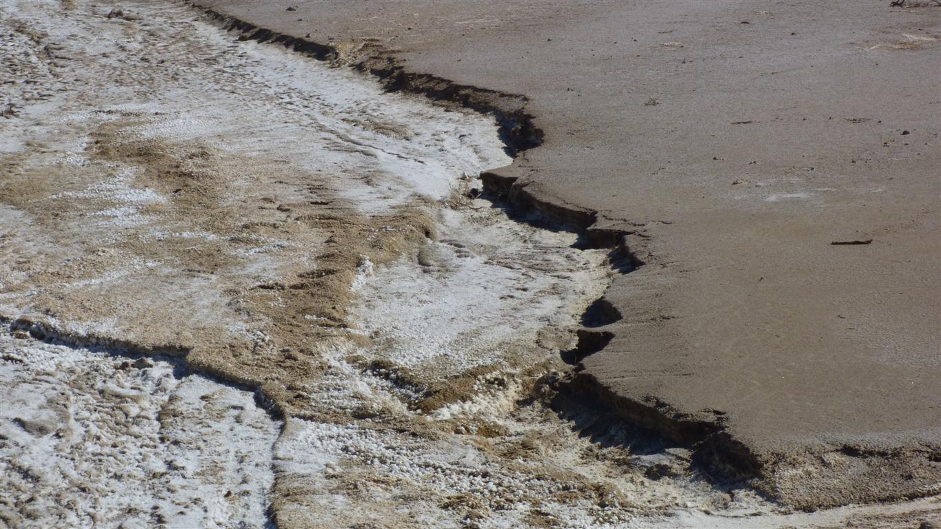
It didn't look quite like the gypsum commonly found.
Much finer grained.
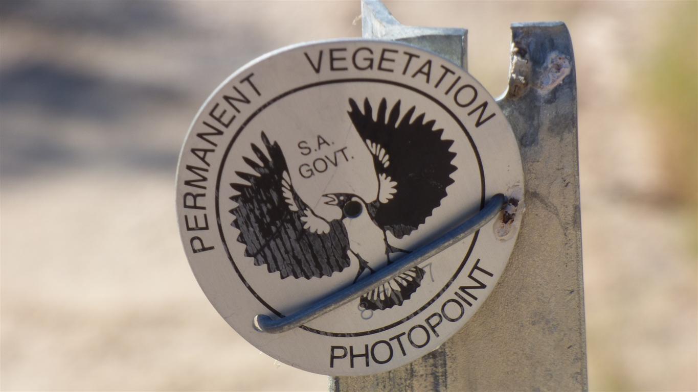
This is number 8xxx7.
A lot of photos.
Million year old water (or at least water that has taken a million years to flow underground from where it fell in the Great Dividing Range through the Great Artesian Basin to spew out of a crack in the rock to provide us with entertainment).
Not as much water as there used to be.
As seems typical of a large proportion of human encounters with natural resources it is being consumed more rapidly than replenished.
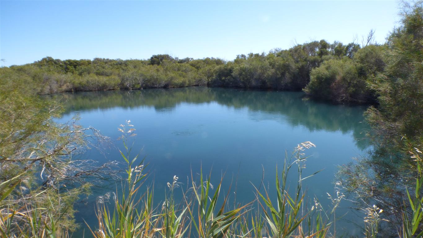
This is called Mother Spring.
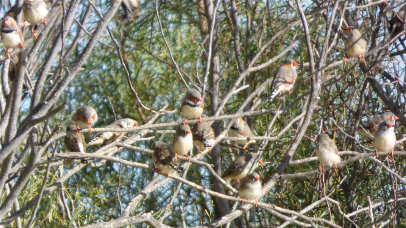
We are vaguely aware of Aboriginal presence in the area.
Vaguely aware of song lines.
Vaguely aware of trading routes.
There is a story associated with these springs.
We will have to do some research..