Sadly leaving our campsite, a little after dawn.
What a pleasant way to start.
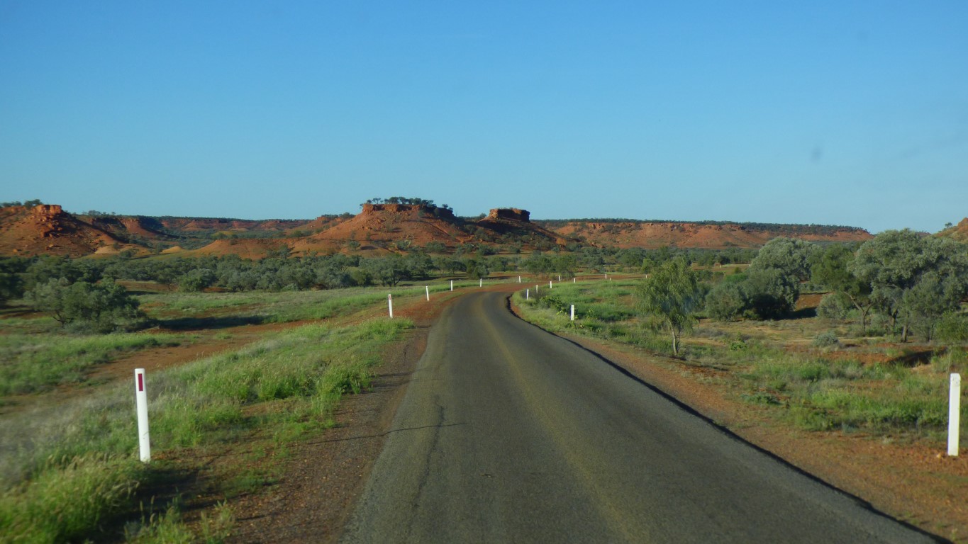
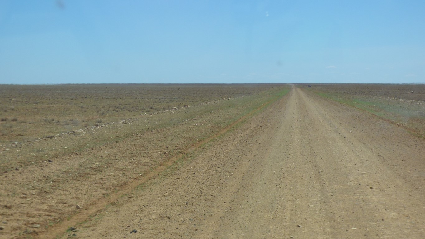
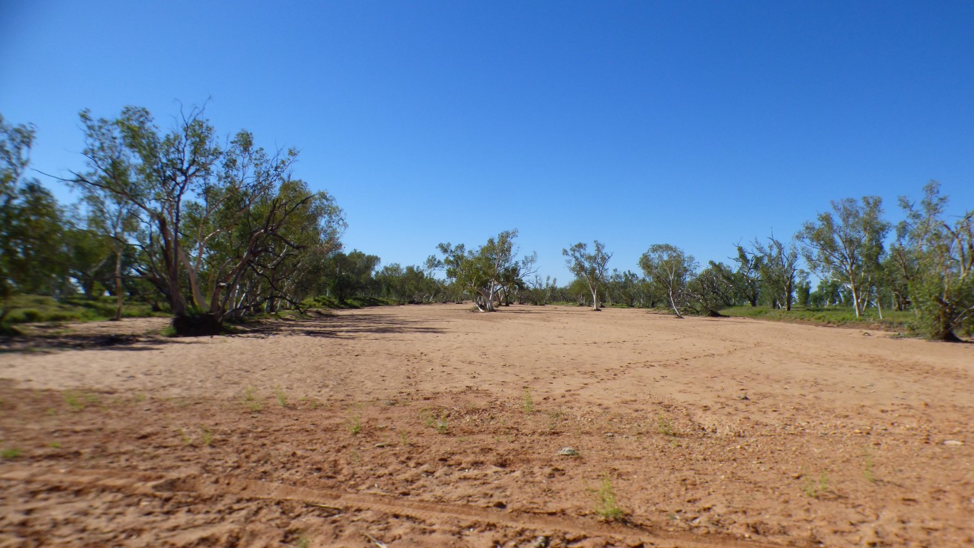
This is near Hamilton River. The green nearest us is from water running off the road. The green in the distance is where the river overflowed onto the flood plain. The brown bit only got rain (and we aren't sure if it even got that).
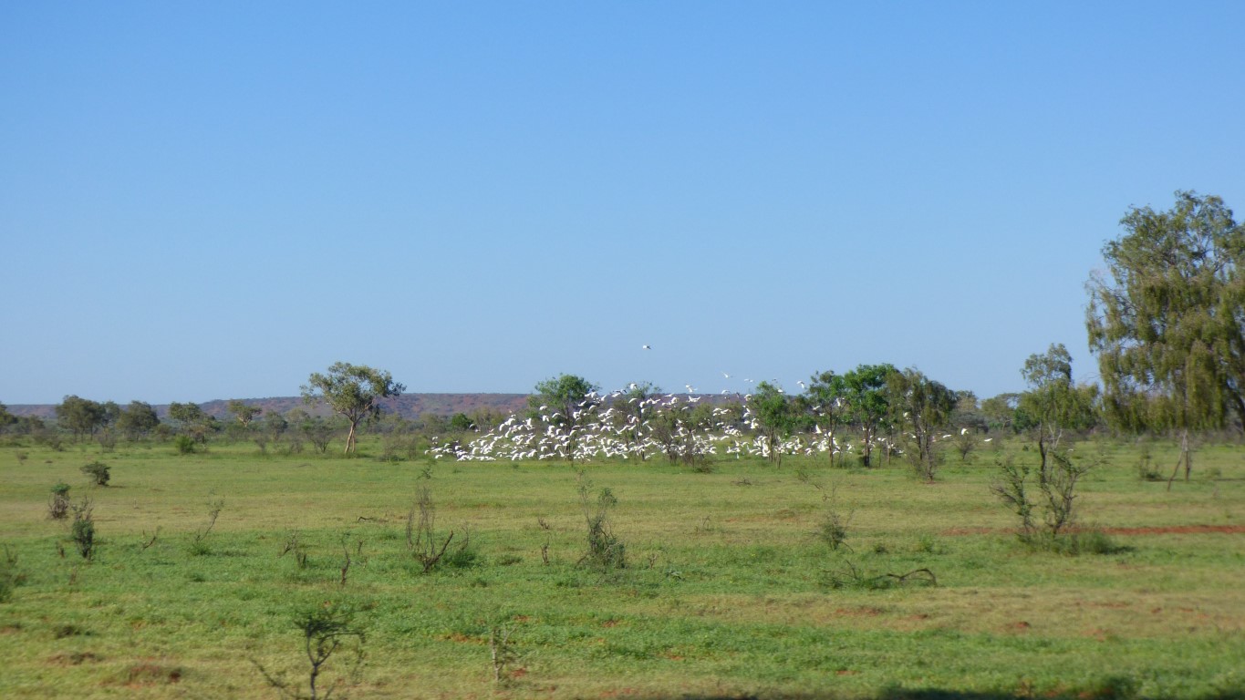
Further east we passed through areas that were all green. With lots of growth. Here its much more variable. As if showers rather than rain, and rivers filled elsewhere that flood here.
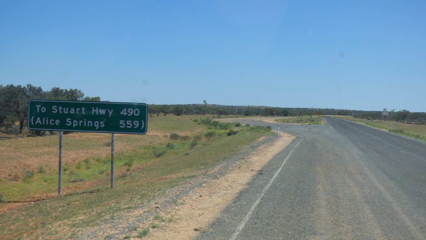
We passed the junction where the road from Bedourie, that we originally planned to use, joins our Kennedy Developmental Road.
The sign said "open".
Such is life.
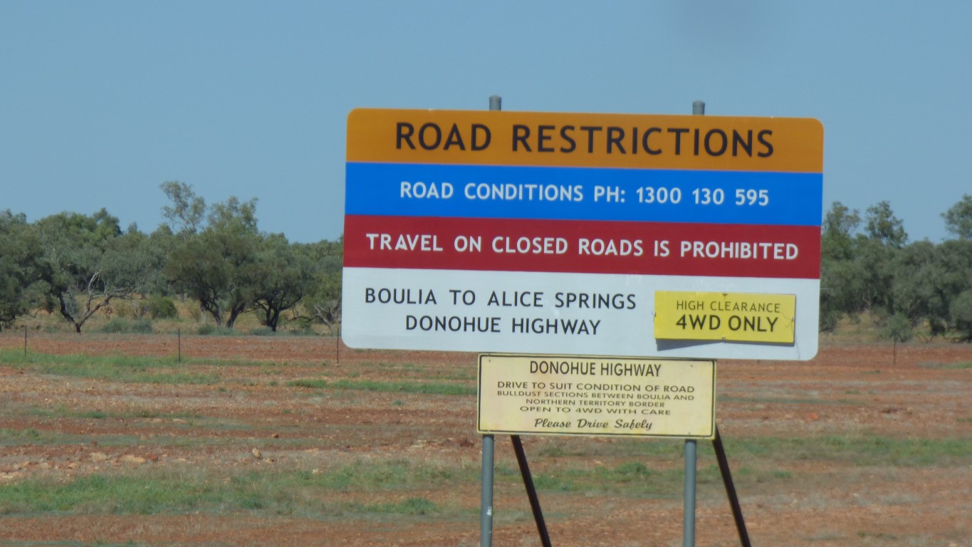
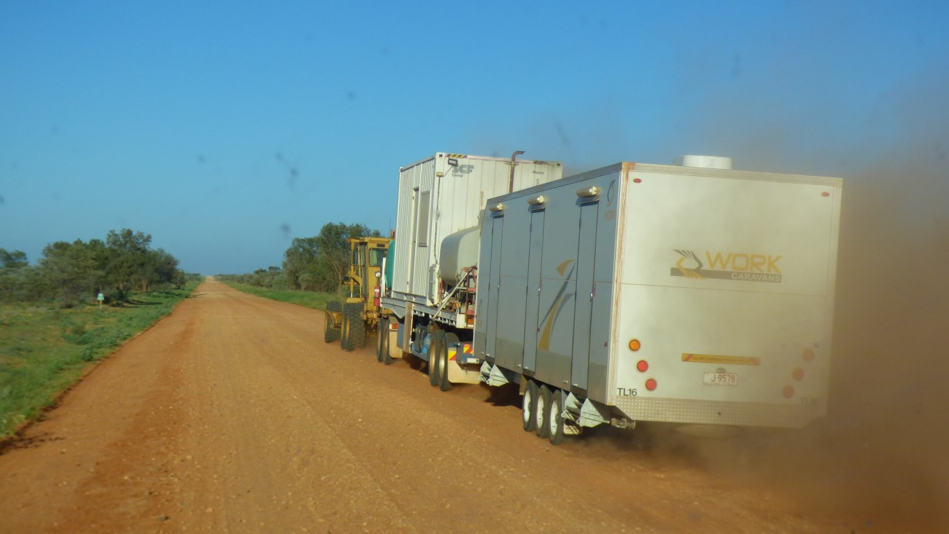
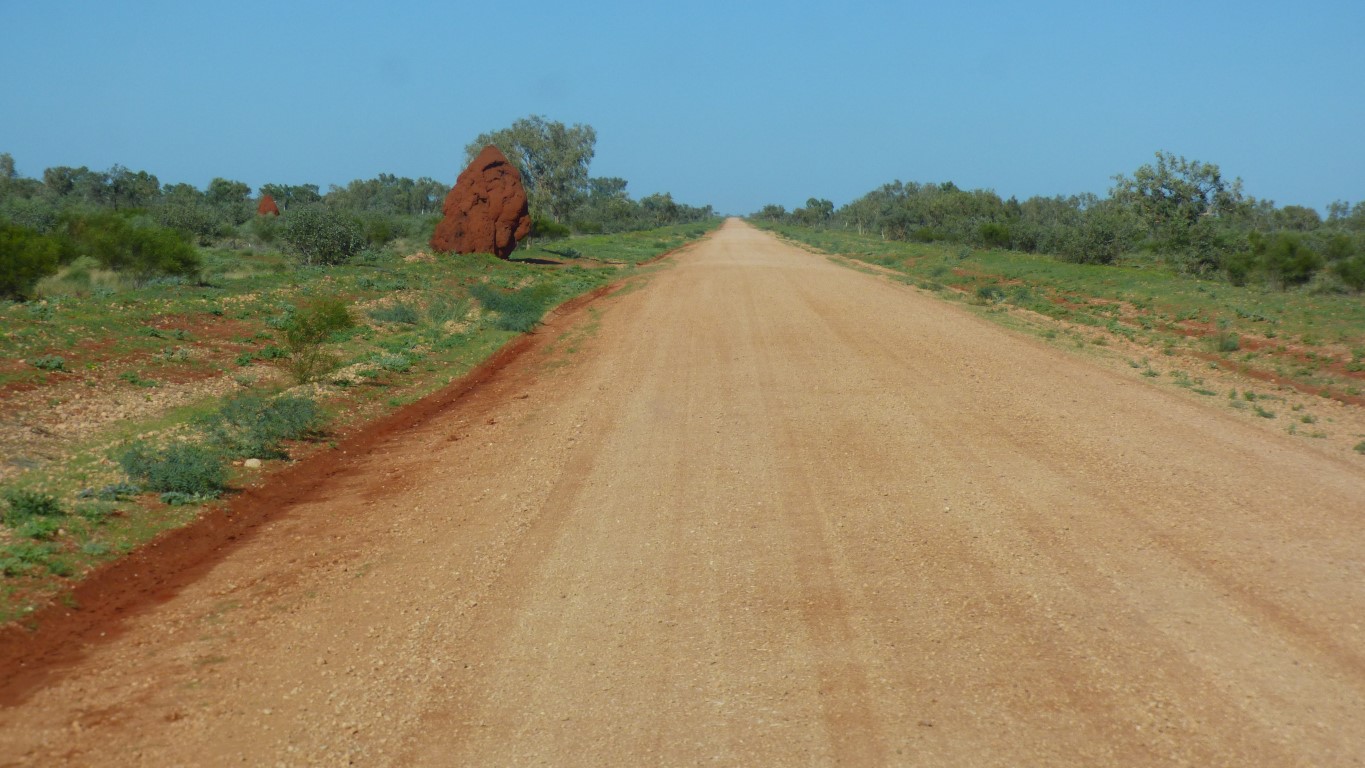
We didn't see any of the bulldust the sign speaks of. Those sections have either been sealed, or floods washed the dust away, or we are blind.
The highway is about 50% sealed. There's a couple of slightly corrugated sections, and "a bit rough". But 70 km/hr seemed reasonable.
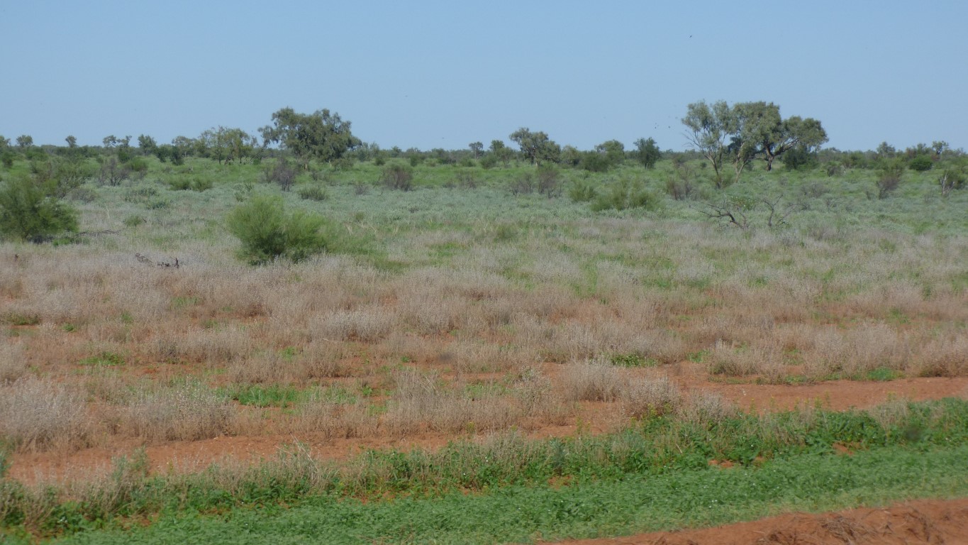
First we wonder if there was always no trees. Then we wonder at the stroke of ill luck that meant whoever herds cattle on this pasture didn't receive any rain.
It seems "just around the corner".
We thought we'd planned well but only left 3 weeks for permits. We left home without permits from WA for Great Central Road / Sandy Blight Road / Gary Junction Road complete. After talking to very helpful WA Permit Officer they'll be emailed. We are allowed "12 days". Which start on 13th April.
Its now the 2nd April. But no internet since Boulia! And its Easter.
Looks like we get to do some sight seeing between Alice Springs and the NT / WA border. We estimate we'll have 6 days.
Not that we are tied to a schedule. It just feels right for us. And it just happens there's a campsite at more or less the right place - as there always is.
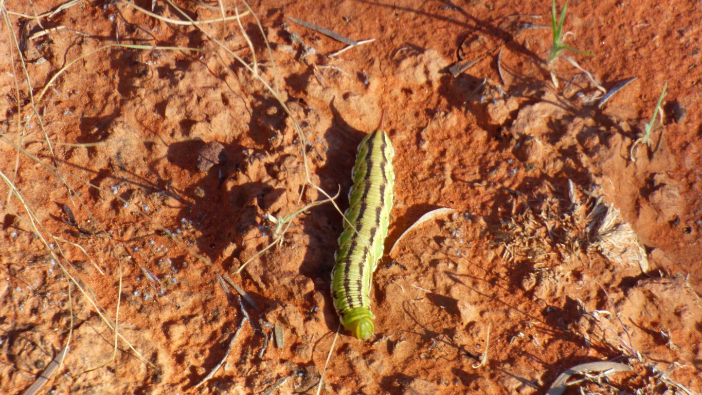
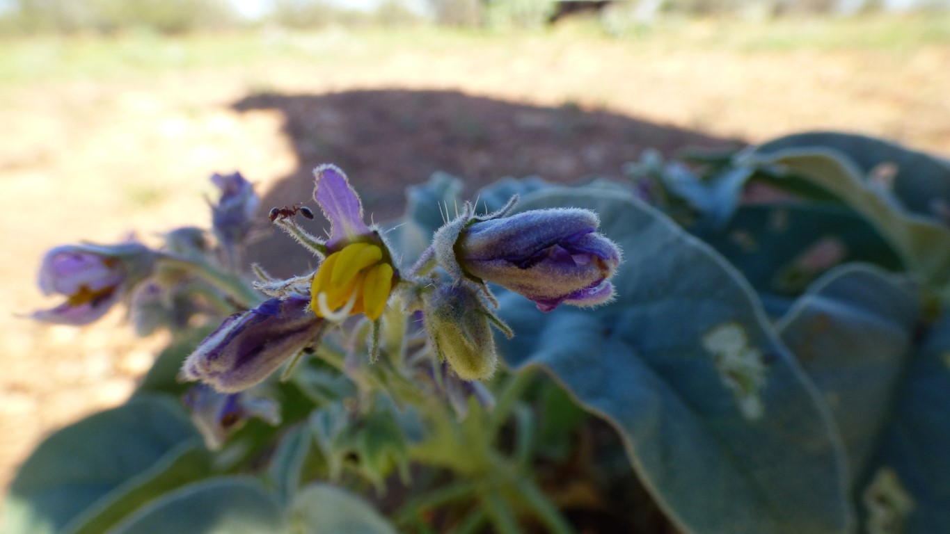
A short walk and tripped over this wee fella. Browsing. Stopped for a nibble at anything that looked green.
I have no idea what it will turn into.
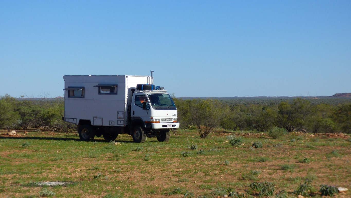
People have camped here before us. Some a couple of hundred meters off the road.
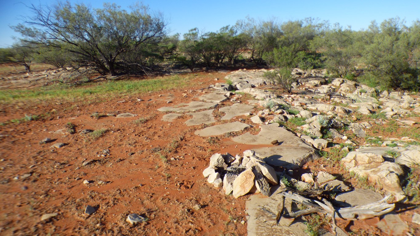
The limestone is eroded. It looks to us like the erosion from rainwater running over it. Almost fine grained.
Which either means we are wrong or it used to rain a lot more than it does now, or its very old.
Its somewhat reminiscent of a pavement area with the gaps filled in with dirt. But I have no way of knowing.
I didn't find any fossils. Despite it looking like the limestone had been washed.
The circle of stones in centre foreground is a modern fireplace. A far cry from finding neolithic stone circles or firepits in far off lands.
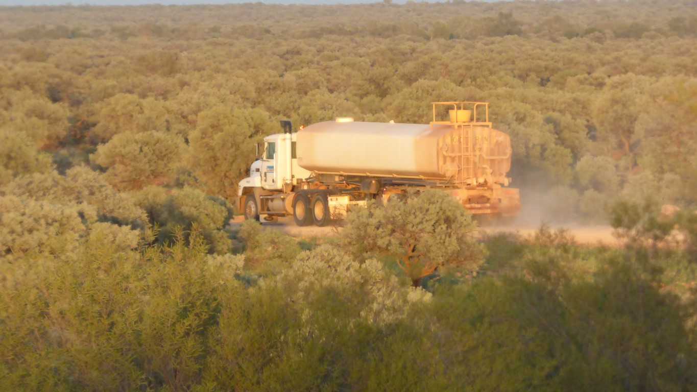
Water truck first, emptied the tank on the first few hundred metres.
Many thanks.
The first change was our first sight of a largish flock of cockatoos.
They've appeared sporadically, among acacias, ever since.
Arthur Creek is a tributary of the Hay River. The Hay River disappears into the Simpson Desert sand. However, the Hay River track continues between the same two dunes all the way to Poeppel Corner. About 300km south-south-east of us.
The K1 line south from Poeppel Corner, to the Warburton track, is where the Hay River would continue if it were to flow.
If you were paying attention you will recall we made a circuit from Poeppel Corner to Birdsville on the QAA Line then Birdsville Track -> Warburton Track -> K1 Line before returning west into the Simpson.
This one is taller than I.
But just as dry.
It disappears into the Simpson. Disappearing into the sand after about 100 km.
We are guessing that this is what the Plenty Highway looked like 50 years ago.
I'm not sure of the dates but I can recall when "Perth to Cairns via Alice Springs", in a more or less straight line, was a major adventure, worthy of national headlines.
I left it there ........
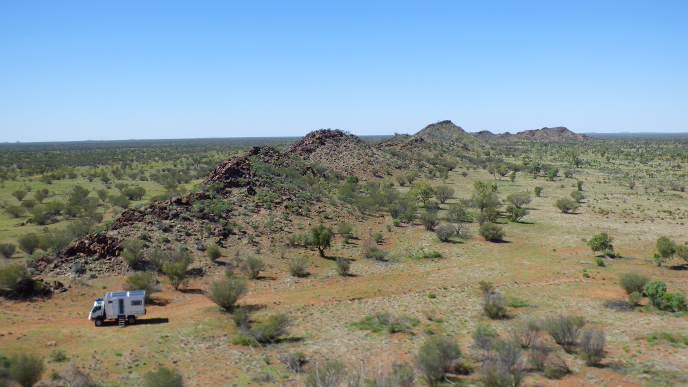
The hills are rough on the left (east) and scree on the right (west).
There are some similar looking hills a couple of km to the west. We'll find out in the morning if they are a mirror image. And if so perhaps the land has been folded and the top eroded away leaving the valley between the ridges.
Coffee with Matt shortly after this. Someone passing who stopped. We all hid in the truck and agreed that the flies are a bit irritating (understatement ..).
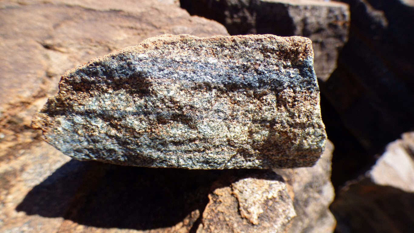
But its crystalline. With lots of cubic looking crystals. Perhaps we are seeing the progression of a freeze plane with different impurities.
The brown outside may be "desert varnish". Or maybe that's just how it weathers. The fracture faces are grey, crystalline. Perhaps a bit metamorphosed.
We aren't geologically gifted. Didn't even bring a hammer. But its fun.
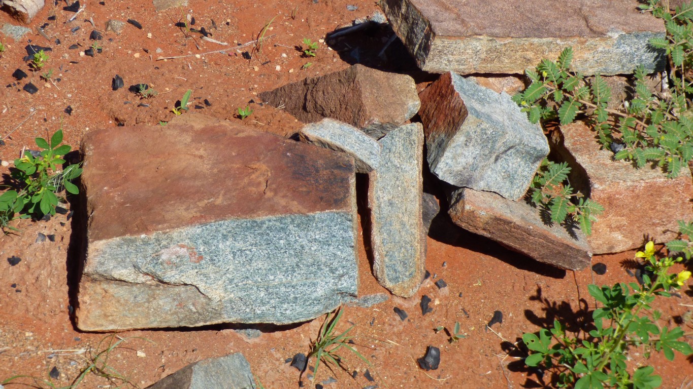
There's a bit of a mixture. Hints of granite. Lots of other stuff (technical term for "I haven't a clue").