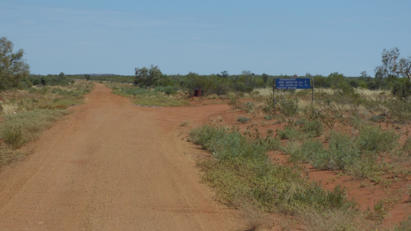
On recent maps its shown as Kiwirrkurra Road. On older maps its Gary Junction Road.
In my head its the Gary Junction Road.
On the Central Land Council permit its described by origin and destination - "Papunya to WA Border towards Kiwirrkurra".
On the Ngaanyatjarra Council permit its "Gary Junction Rd.".
On the WA permit its "PILBARA - Gary Junction Road".
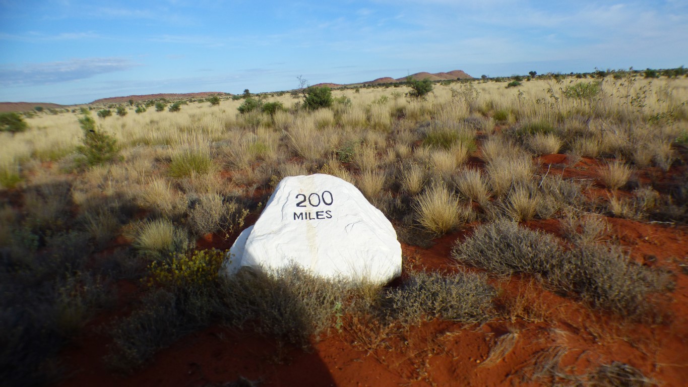
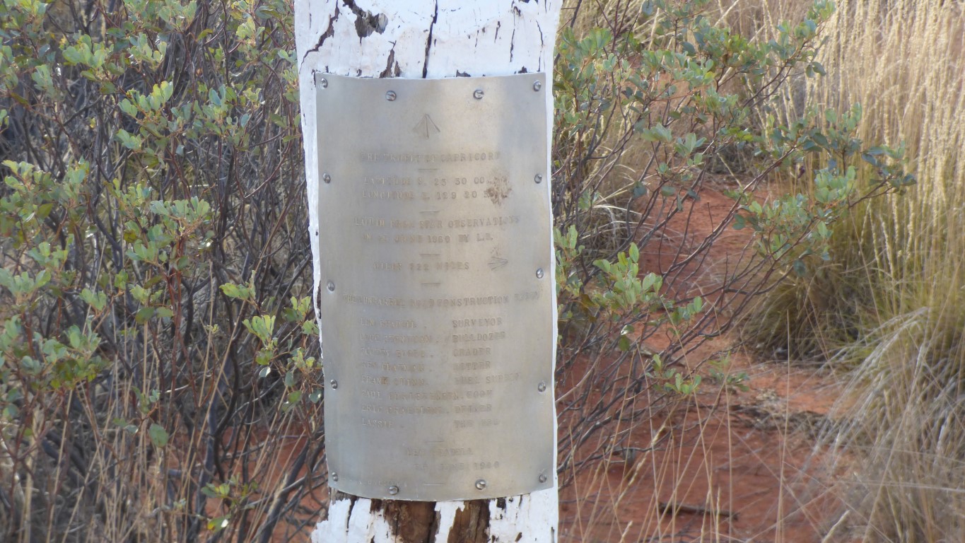
from Giles, apparently,
which is now Warakurna (Road House), on the Great Central Road
All the members of the party, including the dog, are named.
Seven, plus the dog, plus Len.
Len was a surveyor. In 1960 gps devices and portable electronic calculators didn't exist. Let alone laptop computers like I am using to write this. And no internet.
To know where he was, as latitude and longitude coordinates, Len used sun and star observations. He also needed to know the time. Perhaps he had a slide rule. Probably had a book with a form on each page to enter the observations and perform the manual calculations for coordinates.
Crossing the tropic Len knew where he ought to be so had to find a particular latitude. A bit harder than finding the coordinates of the current location.
I haven't checked any of Len's coordinates. Another thing that didn't exist in 1960 was WGS84, the coordinate system used by my gps. I doubt that Len was using "Ascension Island 1958" or any of the many other obscure datums. But I don't know what he did use.
I have 1:250,000 maps with me. Published in 2003 they use MGA94 (Map Grid of Australia) which the software I am using translates into WGS84 (World Geodetic System) for me.
The world is round, and the paper/screen is flat. The projection of the map is Universal Transverse Mercator on GRS80, which takes into account that the world is not quite a sphere. The horizontal datum for the map is the Geocentric Datum of Australia (GDA94) which is equivalent to WGS84.
I can ignore all that, and just use WGS84 coordinates from the gps for both the real world and the map. And hope they coincide. The maps are accurate to +-140m. Which is good enough. Particularly as we are driving along a track. Fairly hard to become lost.
Len had a very large open space, some existing maps, a broad brief to create some tracks, and a sense of humour. If I was wearing a hat I'd take it off to him and his party. I know he got it right as I'm here!
Of course, when we got to Kintore, and looked more closely at maps, we realised the hourly schedule for fuel was out of date.
Its now roughly the hours of the store. 9-12 and 2-5 weekdays, Sat 9-12, Sun 1-3.
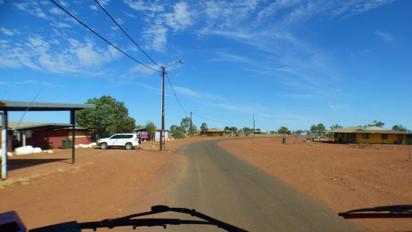
Had to ask where is the store. Surely we can't be lost ....
The system was fill up at the pump, pay at the store. Store well stocked.
No mobile phone, but landline worked for credit card.
The diesel was $2 as shown on fuelspy last time we had internet. 4 cents cheaper than Yulara.
This is our sixth day since Yulara. We have averaged about 100 km/day. Fuel consumption good. Our range is about 1400 km.
Our speed is lower now because of the spring. The fuel consumption will decrease a bit. Newman is about 980 km as the crow flies.
And like any town, a water leak and a council worker repairing it.
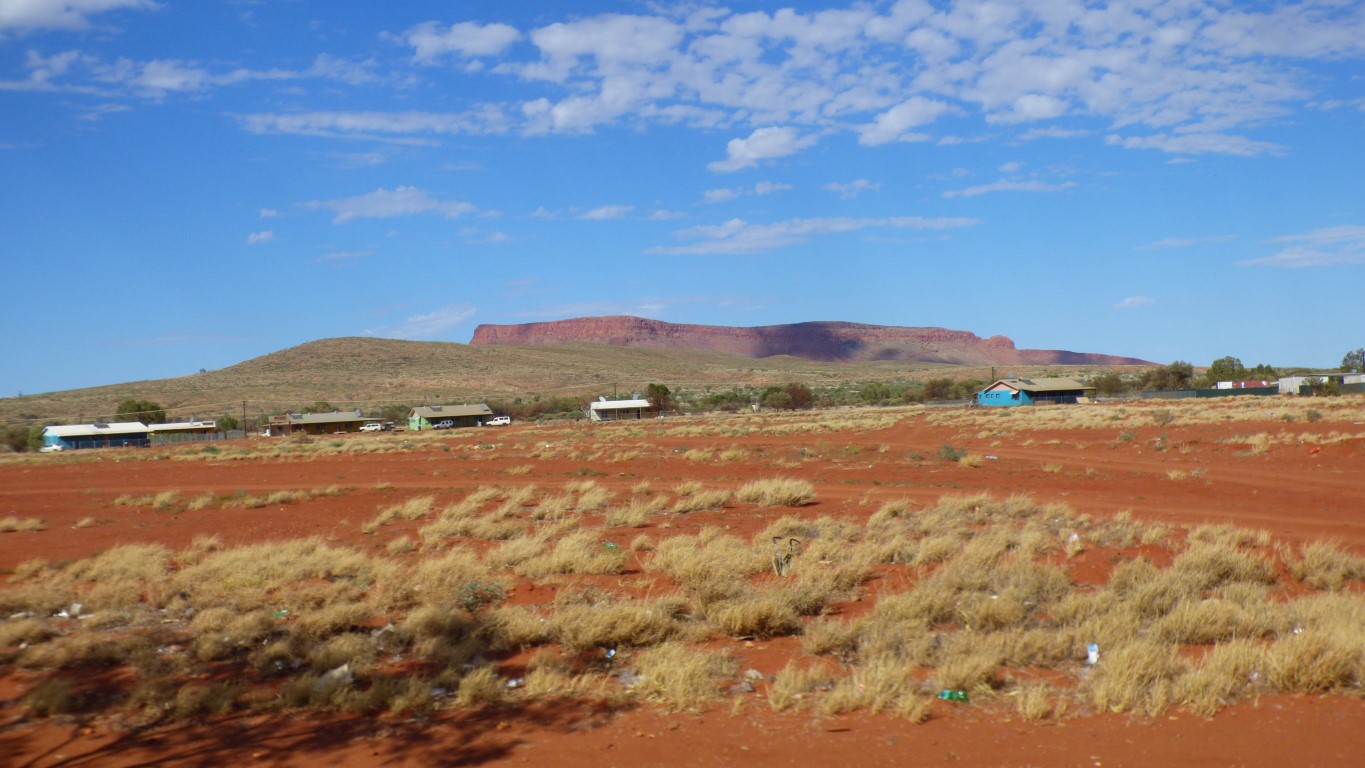
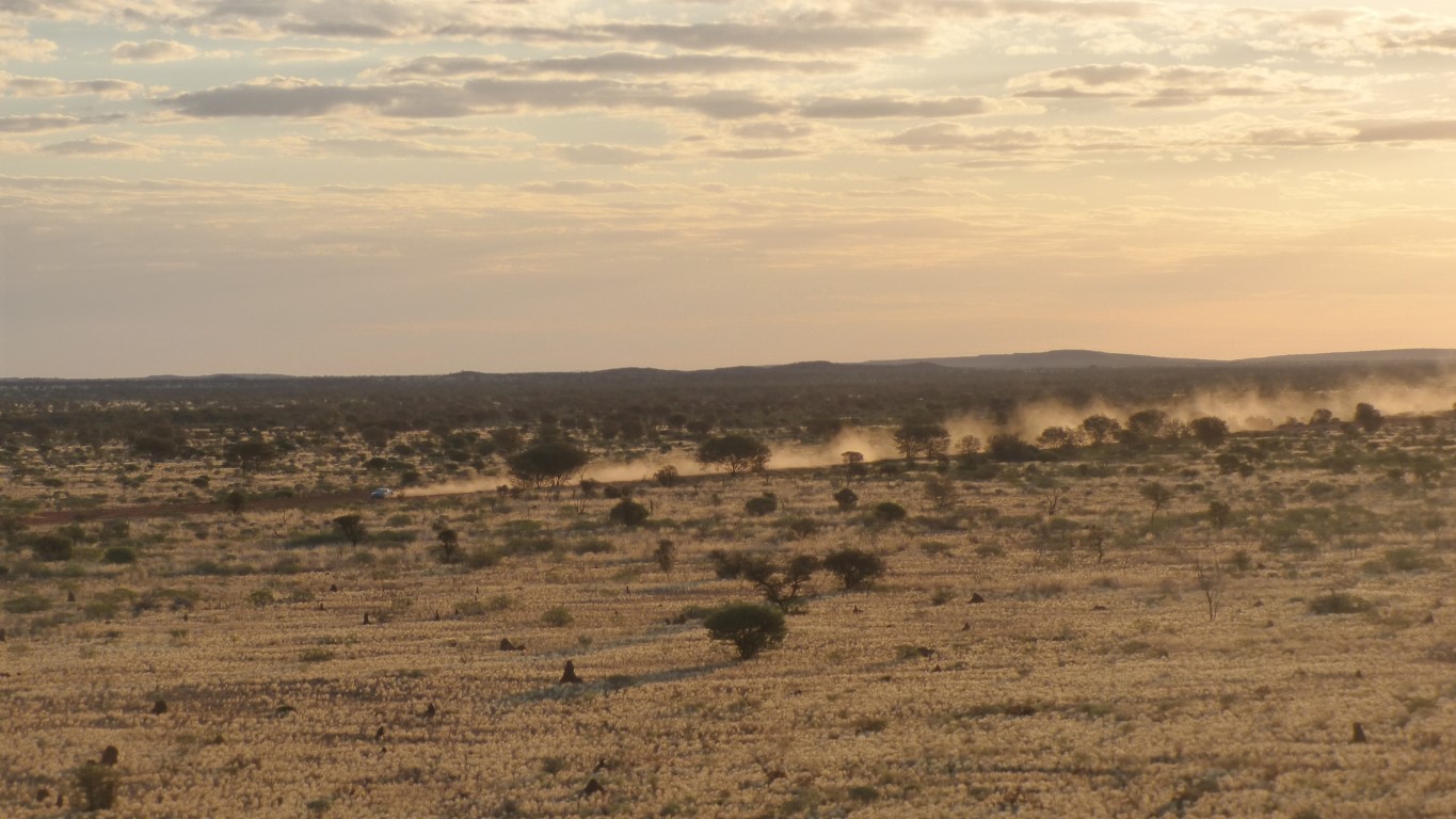
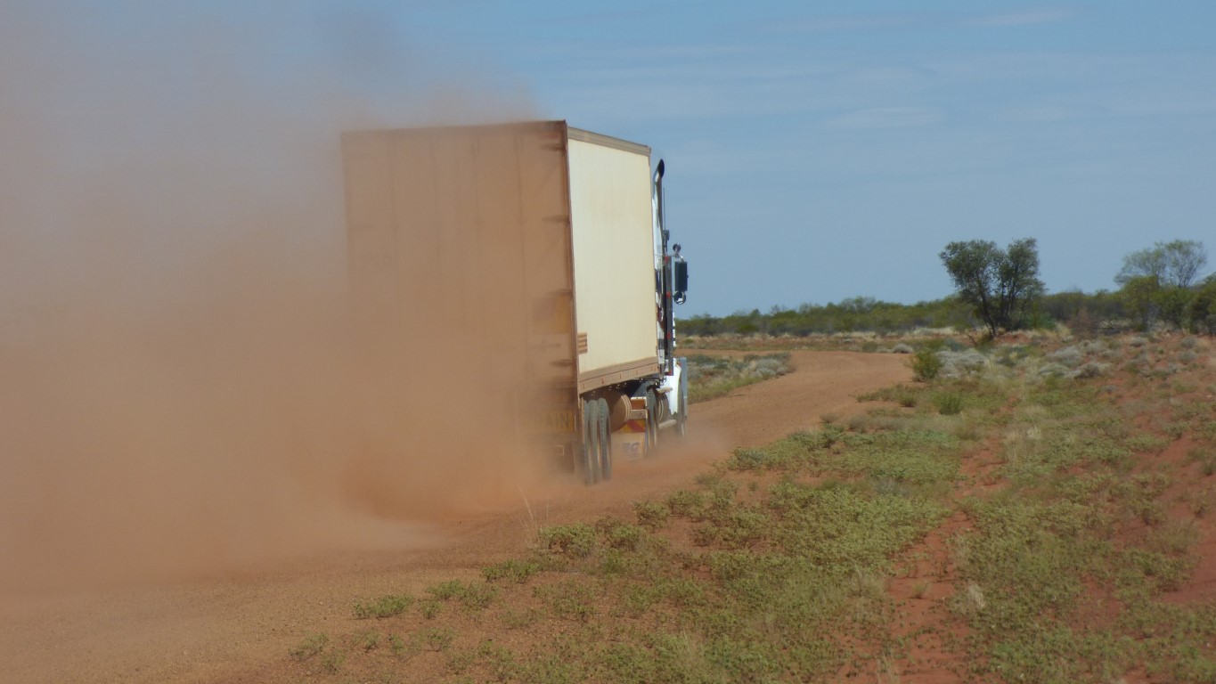
Having not seen another vehicle for a couple of days we encountered traffic within the community boundaries.
A constant coming and going at the store, council, and medical buildings.
Once away from the boundary we are on our own again.
We took the wrong road out of town (if there is such a thing as a wrong road) and passed the airport. A sealed runway. And the installation of a new fence, with steel posts concreted into the ground and wire mesh.
We took up the habit, to ease the load on our broken spring.
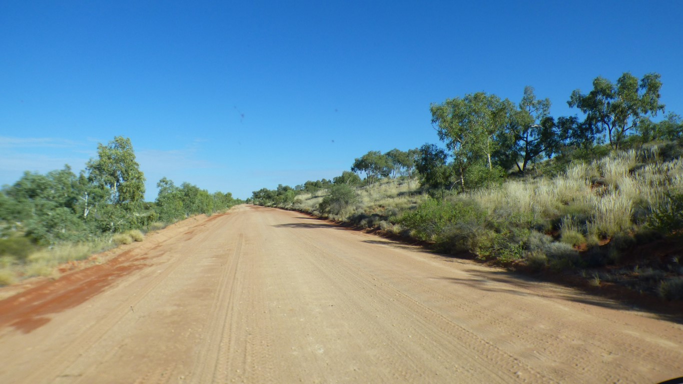
The formed road is somewhat stony.
We thought we were back in Mongolia where drivers avoid the stony made up roads.
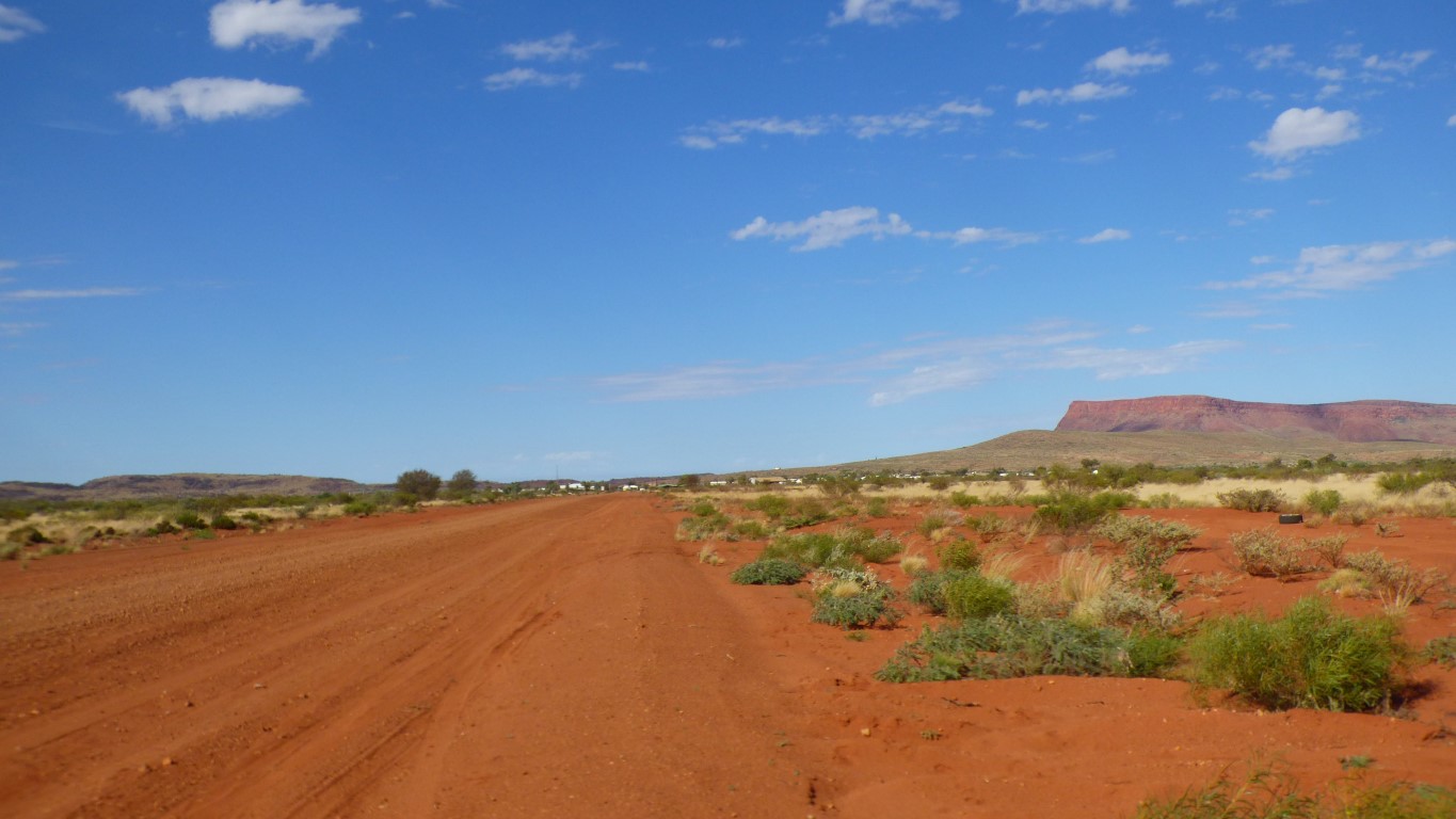
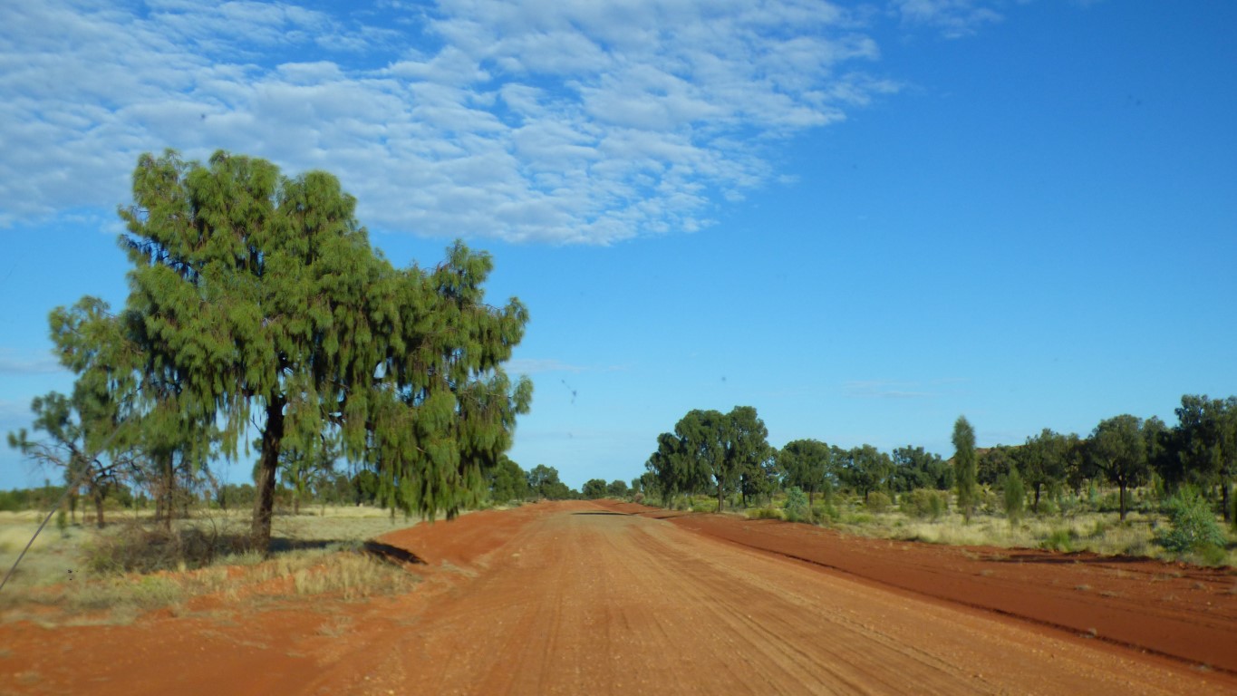
We'll head west.
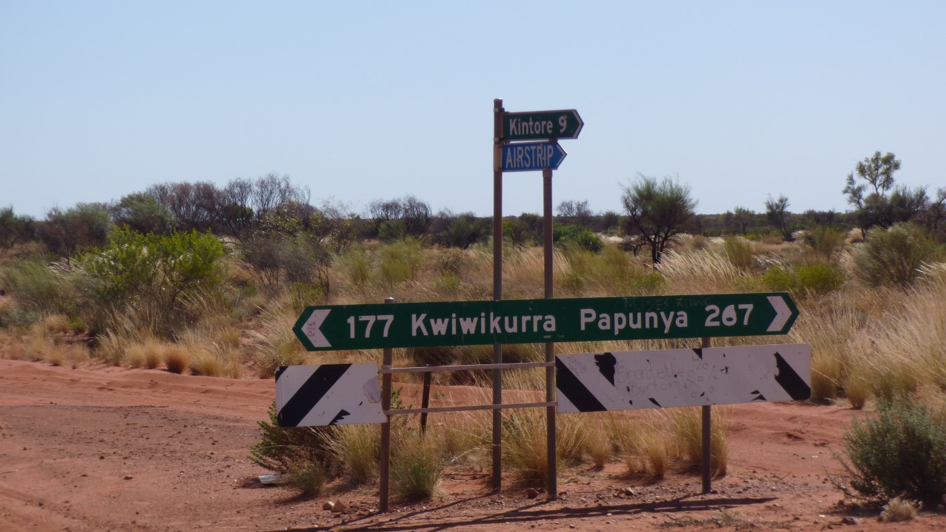
East, beyond Papunya, is a junction to the Tanami Road which leads to Alice Springs.
On our return from the Kimberley we will travel south east along the Tanami Road.
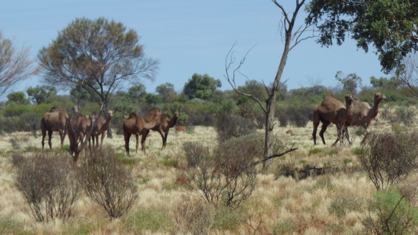
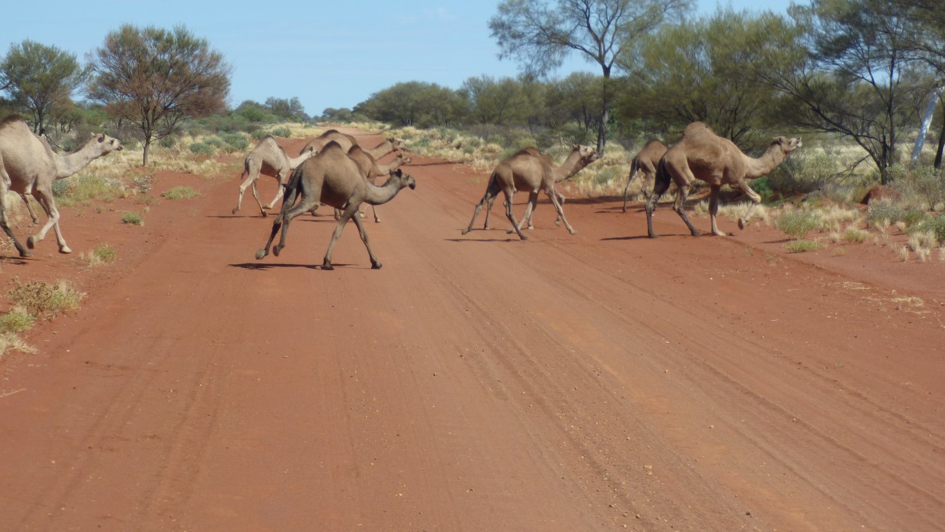
We let them pass.
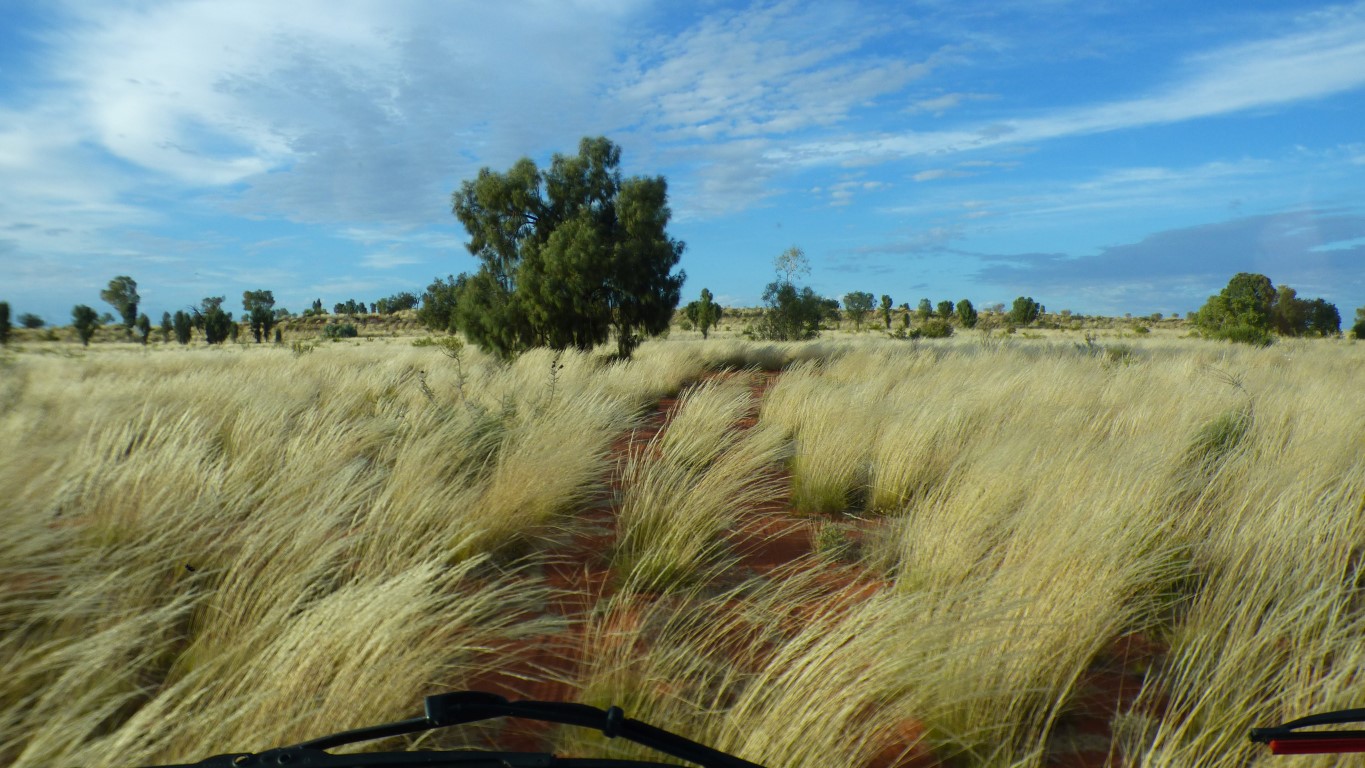
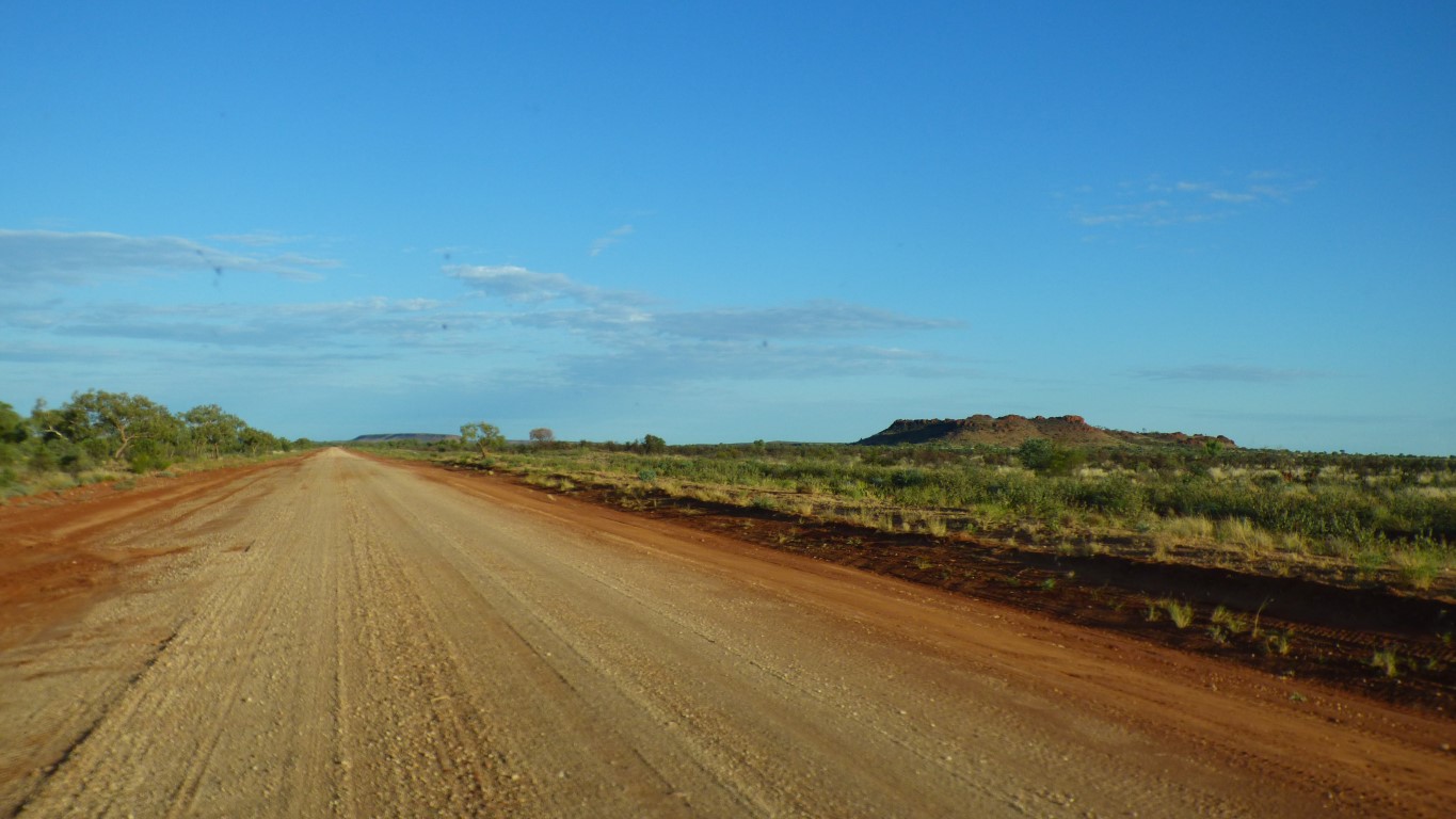
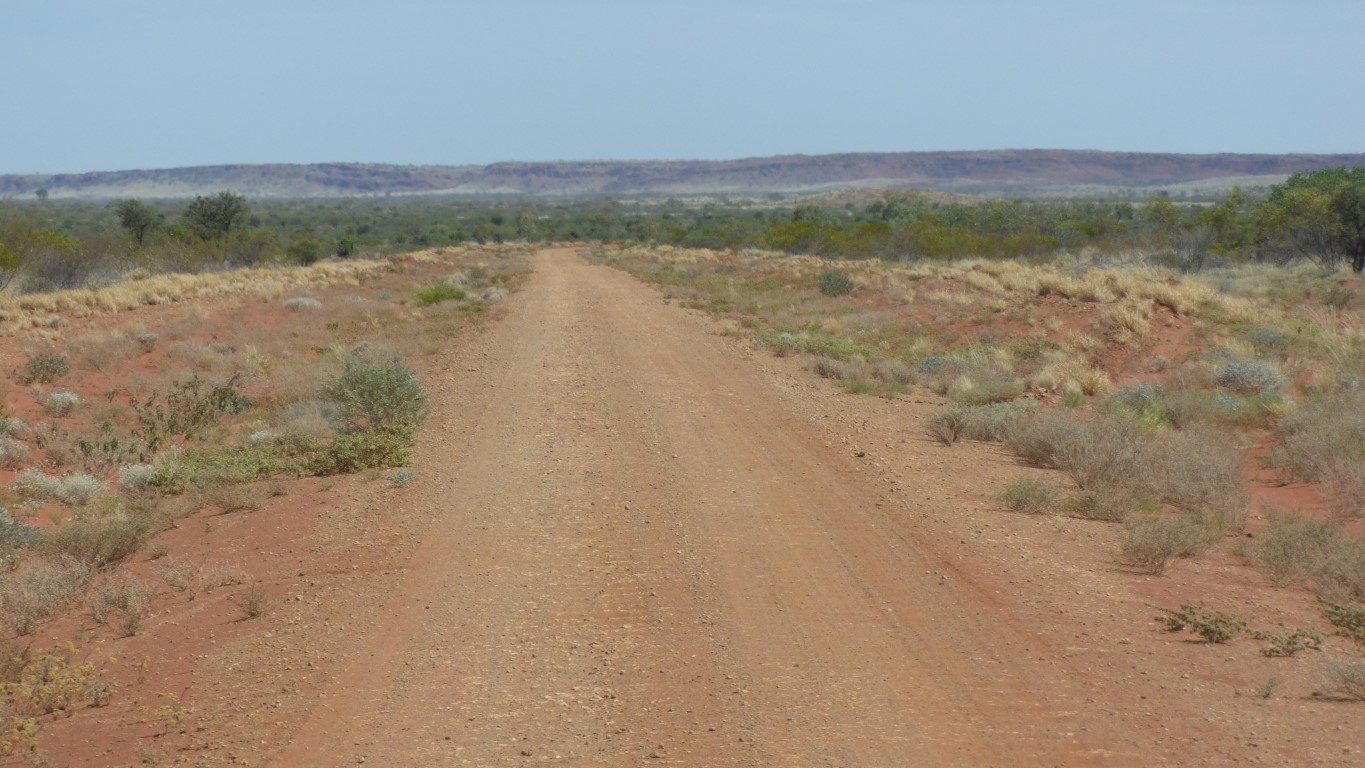
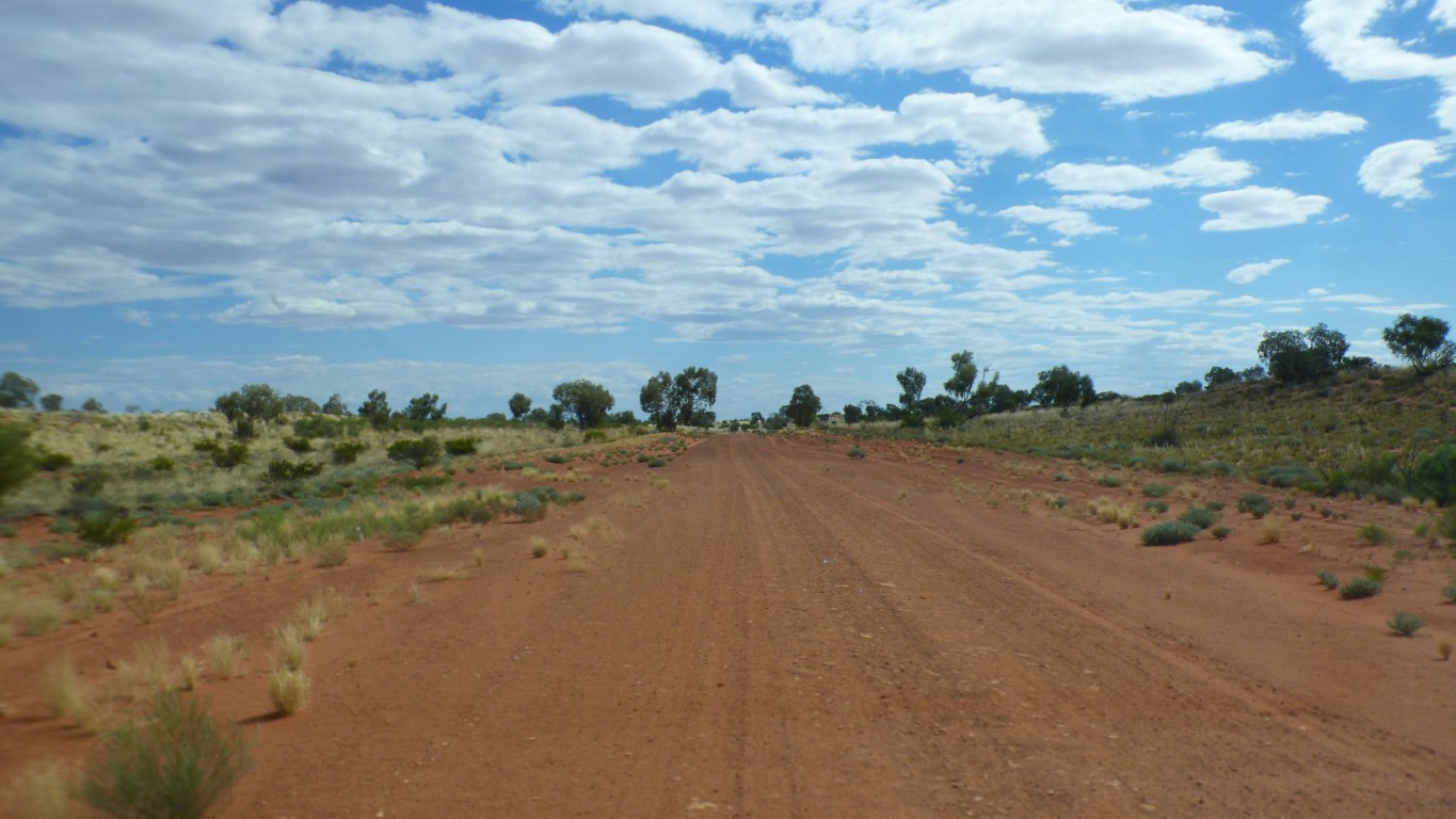
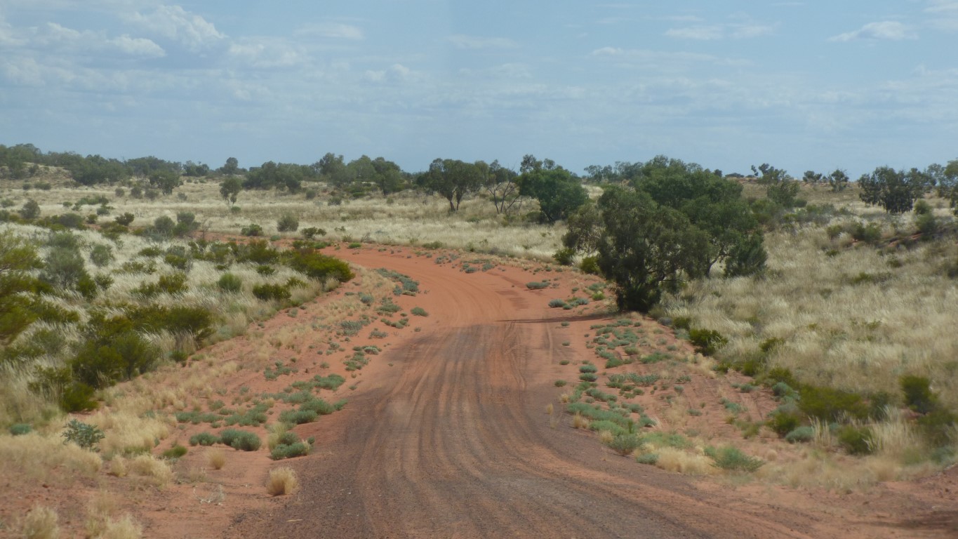
The road is well made. A road, not a track. We can find a sweet spot, driving with right hand wheel at the right edge, with mostly no corrugations.
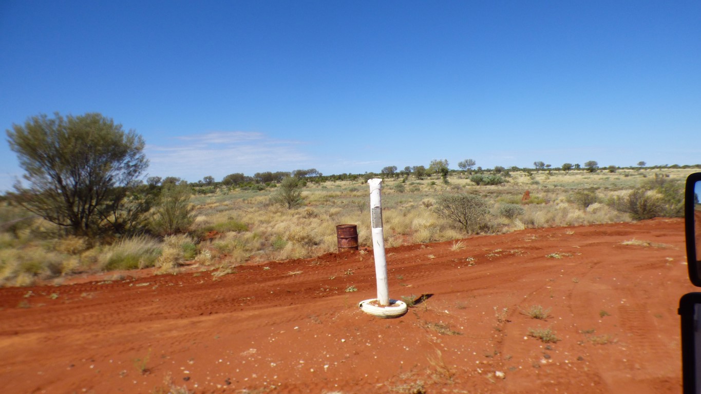
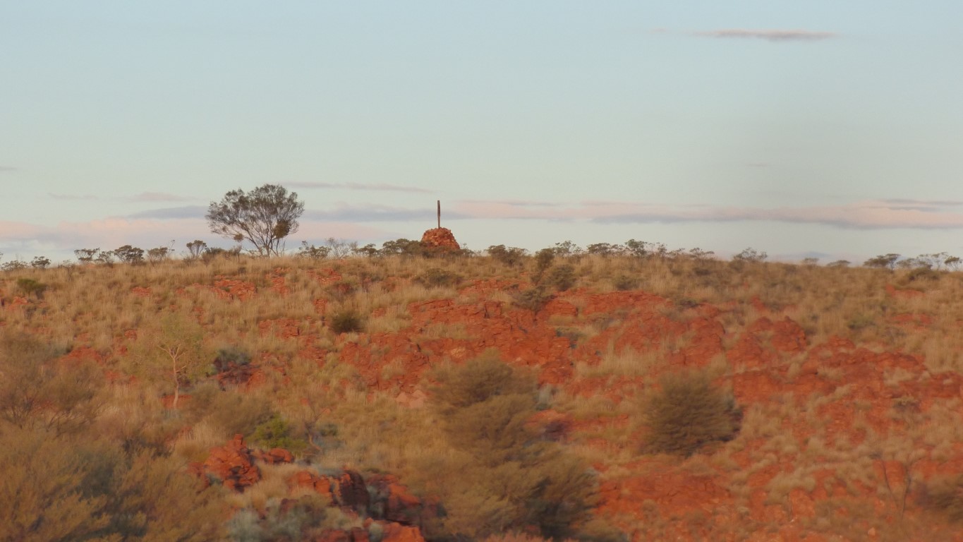
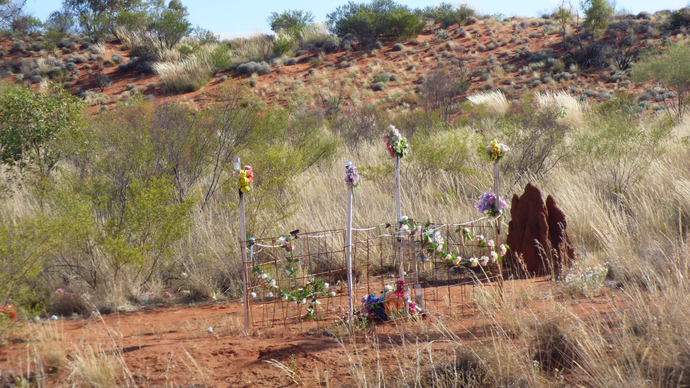
The original Len Beadell markers were replaced with replicas around 2000. Some of the originals were souvenired. Sadly.
We are now in the shire of East Pilbara. A big shire. We wonder if the communities here are supplied from the east or the west.
We've travelled 105 km for the day. Which we consider very respectable. Occasionally up to 40 km/hr on good road.
Nothing to report on the spring. The patient is stable.
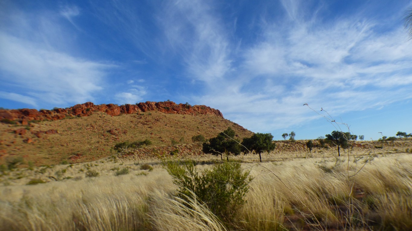
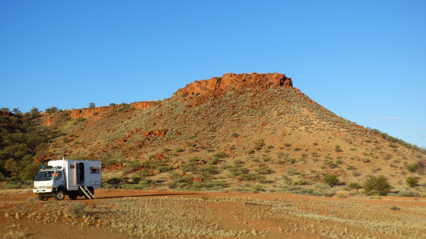
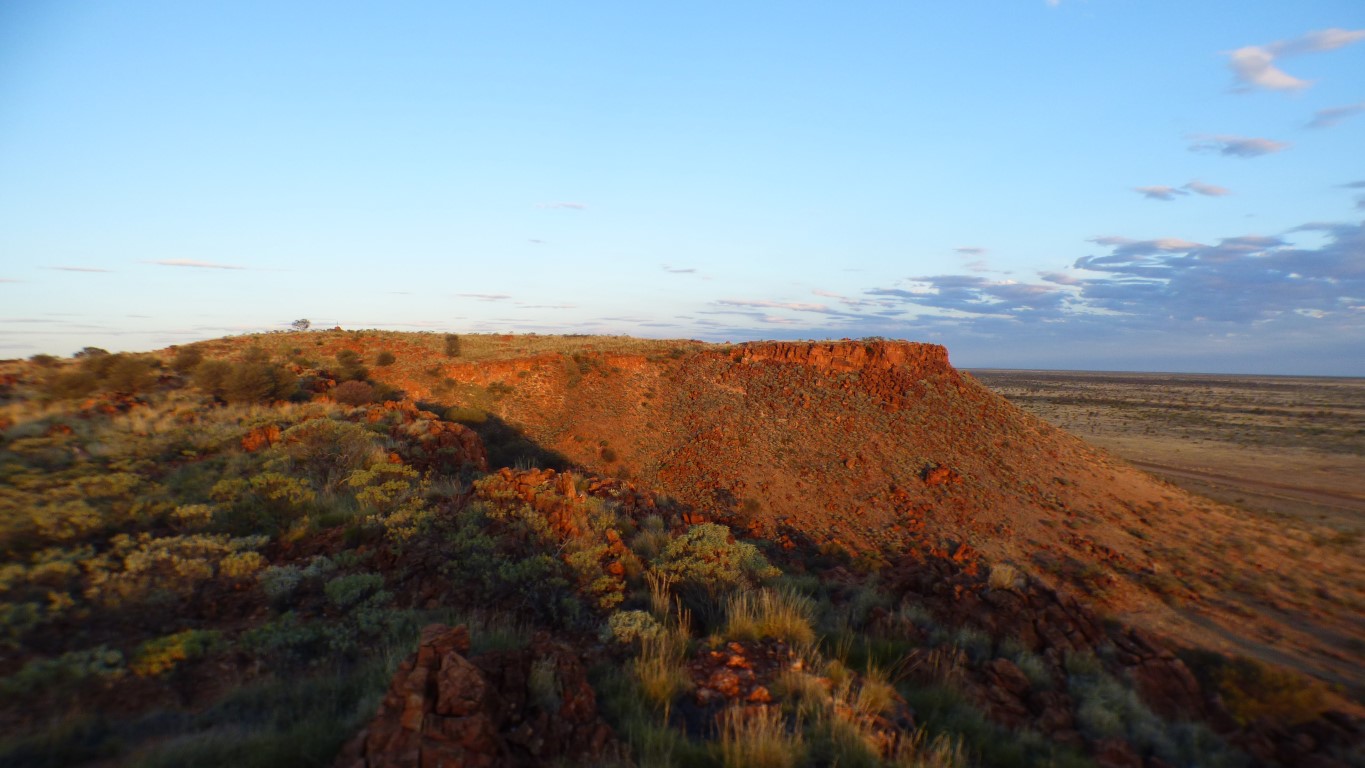
We figured the easiest route was the smaller peak a few hundred metres to the west. All joined together at the top. Looks like a plateau.
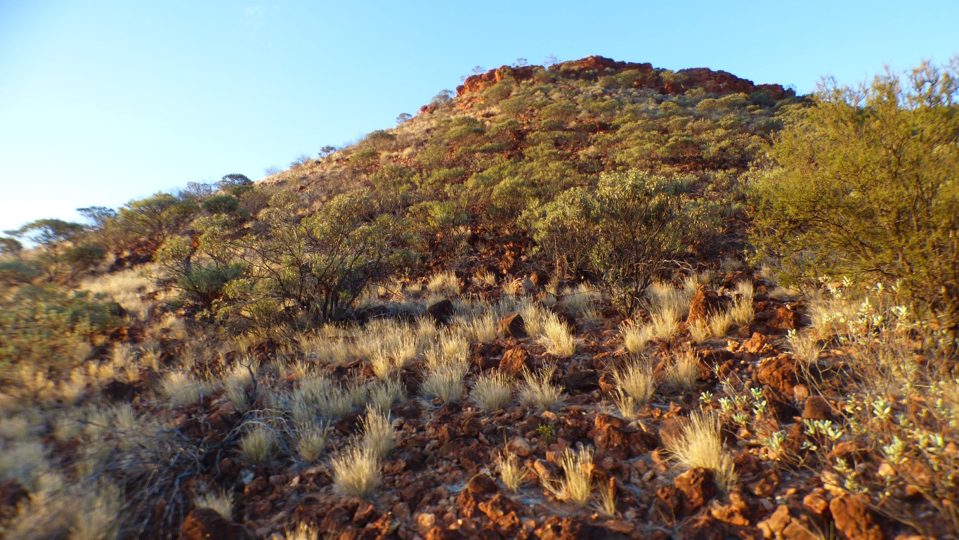
The beautifully smooth scree slopes are not quite so smooth close up.
A tad rocky. But also stable.
Just needs a bit of care and patience. Less than 100 m to gain in height.
We aimed for the small gap at the top, about mid picture. An easy last 5m.
Second vehicle we've seen travelling east today. Two more followed after we reached the top but not quite as scenic.
No-one travelling west ..... except us.
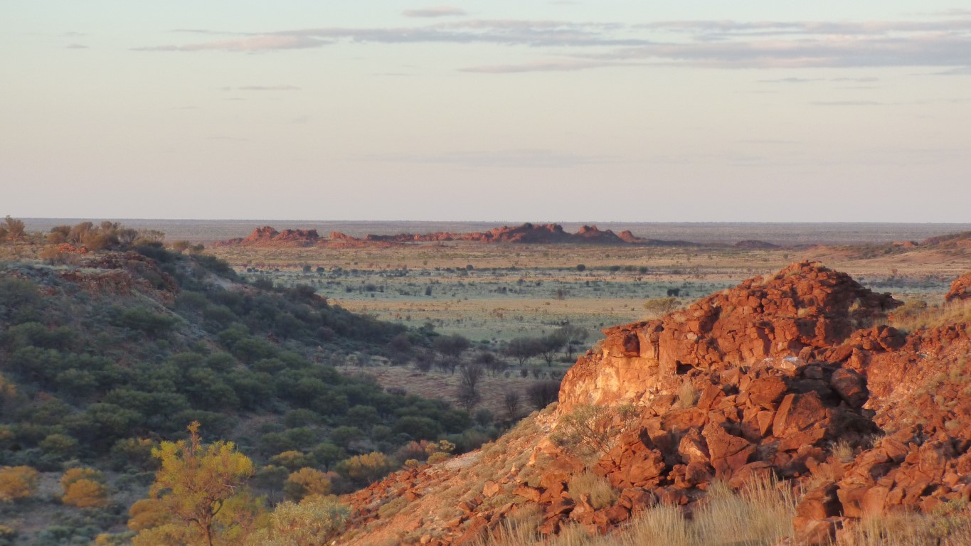
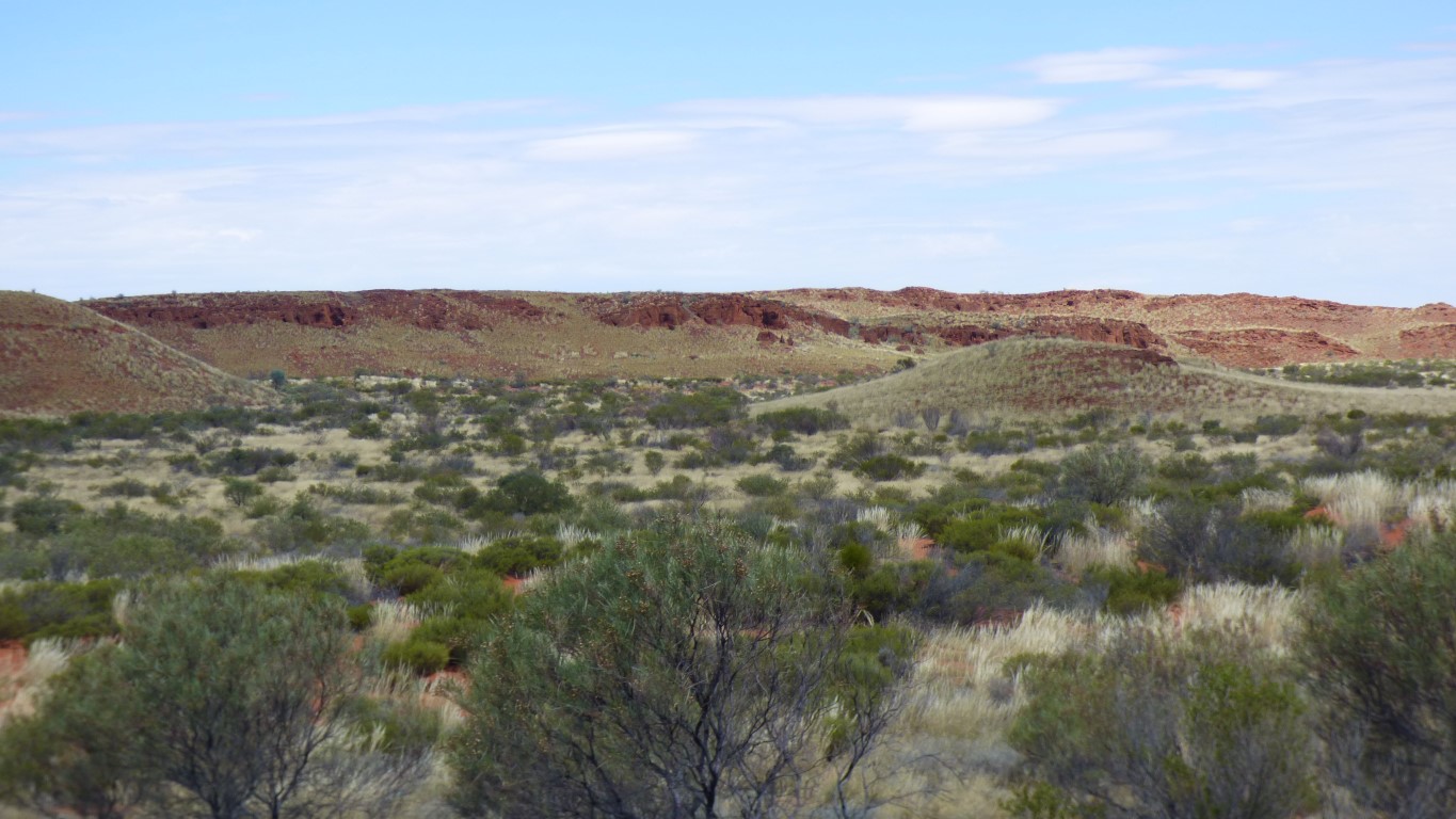
Beyond is the Gibson Desert.
And a few km further on is the Sandy Blight Junction Road we've just travelled along. The loop in WA before it crossed into NT. The nearest point on that road is 63 km from us.
We've travelled a lot of km but haven't come far.
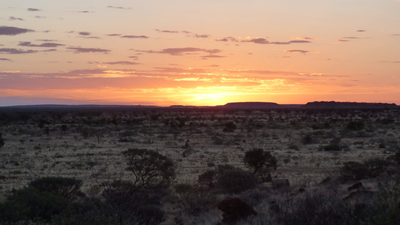
I'm not particularly poetic, but stark and beautiful comes to mind.
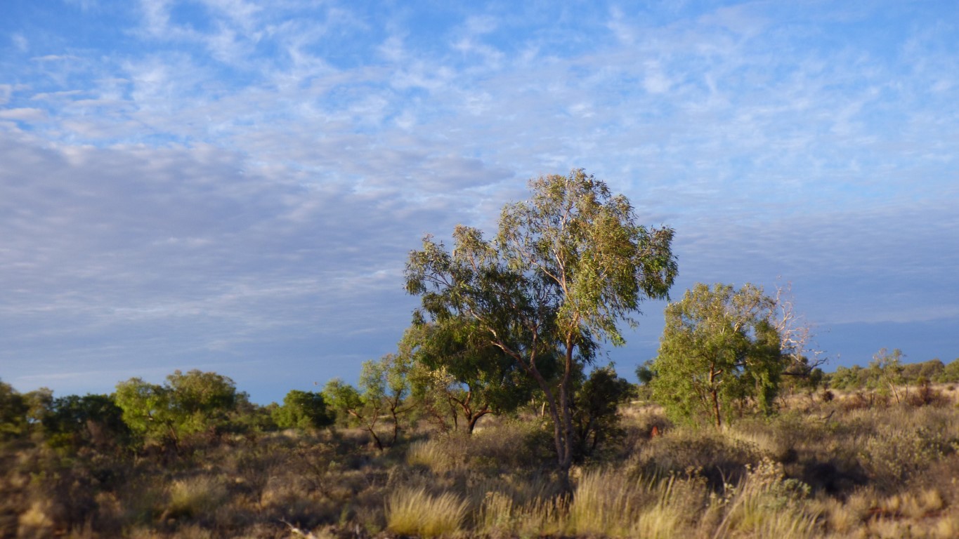
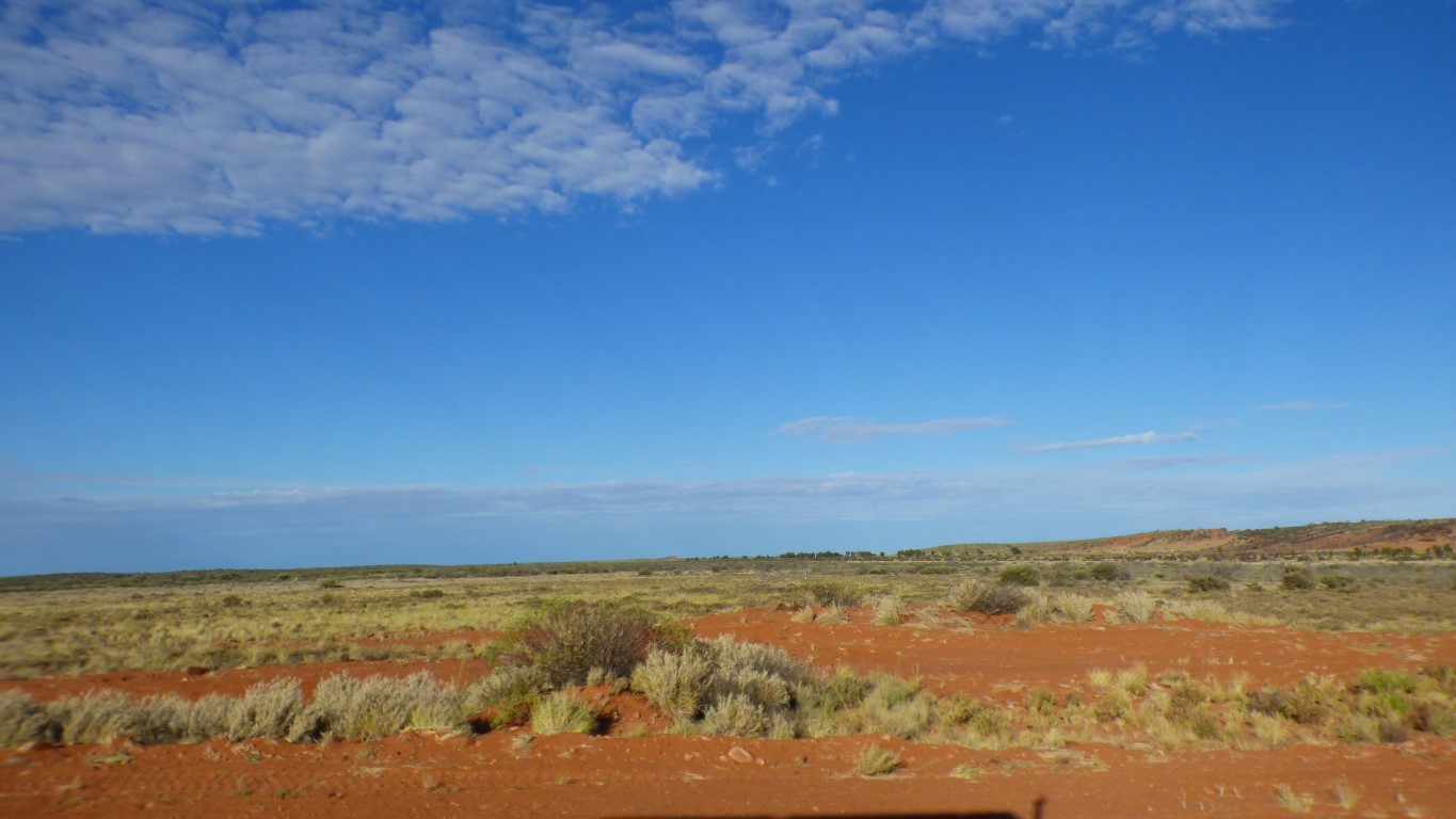
We are in a corridor without dunes between the Gibson Desert to our south and the Great Sandy Desert to our north. Add the Little Sandy Desert further west beyond the Gibson and we have the Western Deserts.
Beyond Kiwirrkurra, in about 150 km, we meet dunes again. But fortunately aligned in the direction we are travelling.
And now we wonder who built it.
The campsite has been a base of some sort. Possibly road, but there's also a couple of barrels labelled "aviation gasoline".
Our campsite looks like its long enough (just) for a light plane.
Its not marked on maps as a landing strip.
There's lots of quartz in the quartzite.
We'd waited until most of the heat had gone from the sun before we set out. Not knowing about the cairn. So we ran out of time.
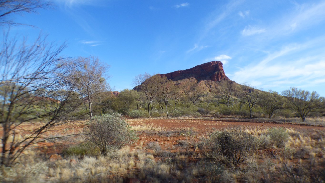
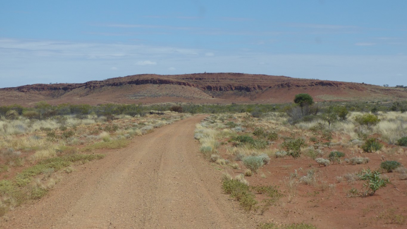
This is looking north.
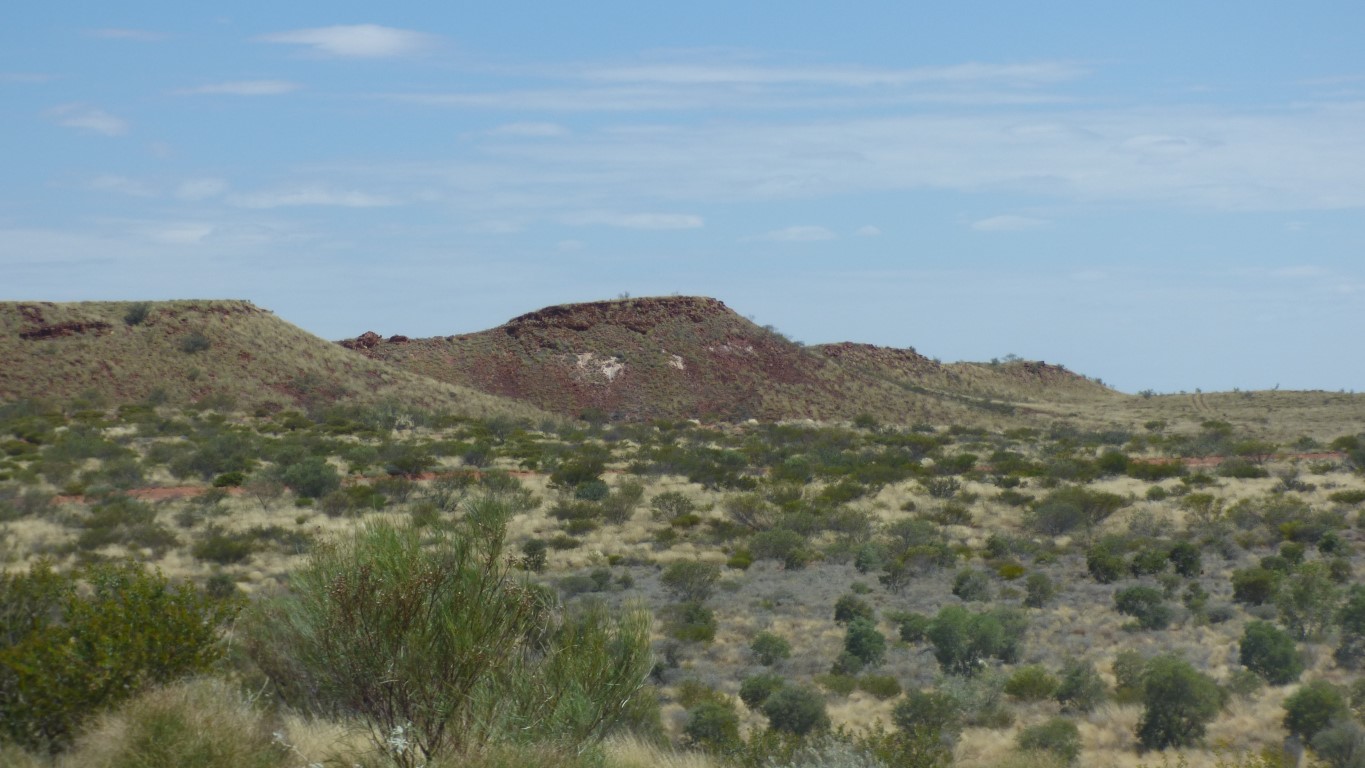
Presumably the Buck Hills.
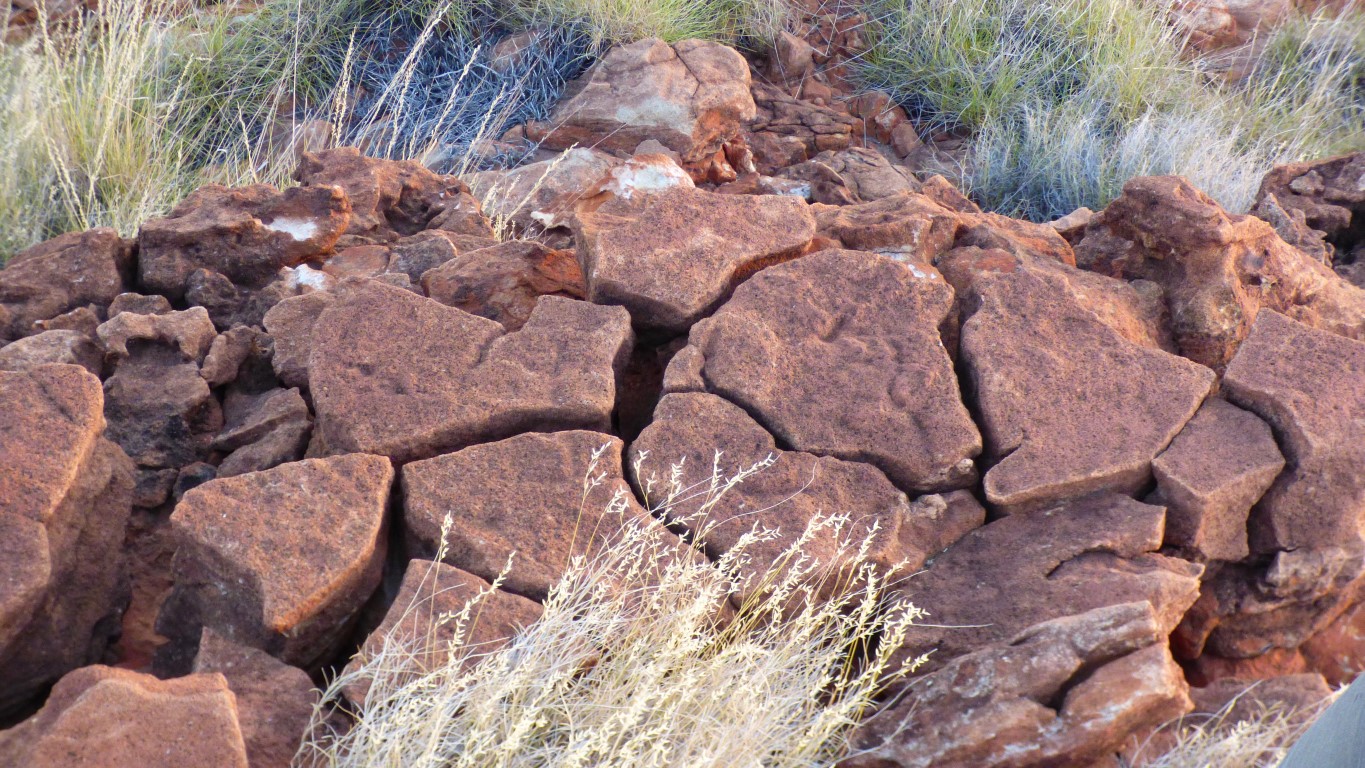
First there are shallow channels formed, by rain or wind. In this case on a horizontal surface.
Then they become deeper.
Then the rock fractures. Helped no doubt by the constant cycling of hot and not so hot in the sun.
This is stage three!
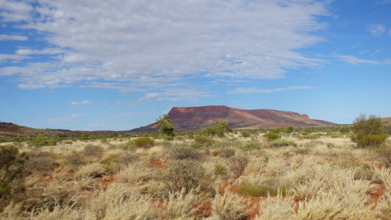
Possibly the Dovers Hills, about 20km away, in silhouette.
We didn't stop to see if they were edible.
But we did wonder why use so much energy in a desert?
We are unsure who Maurice Pollard was until we have internet.
Not sure we are pleased they are ended.
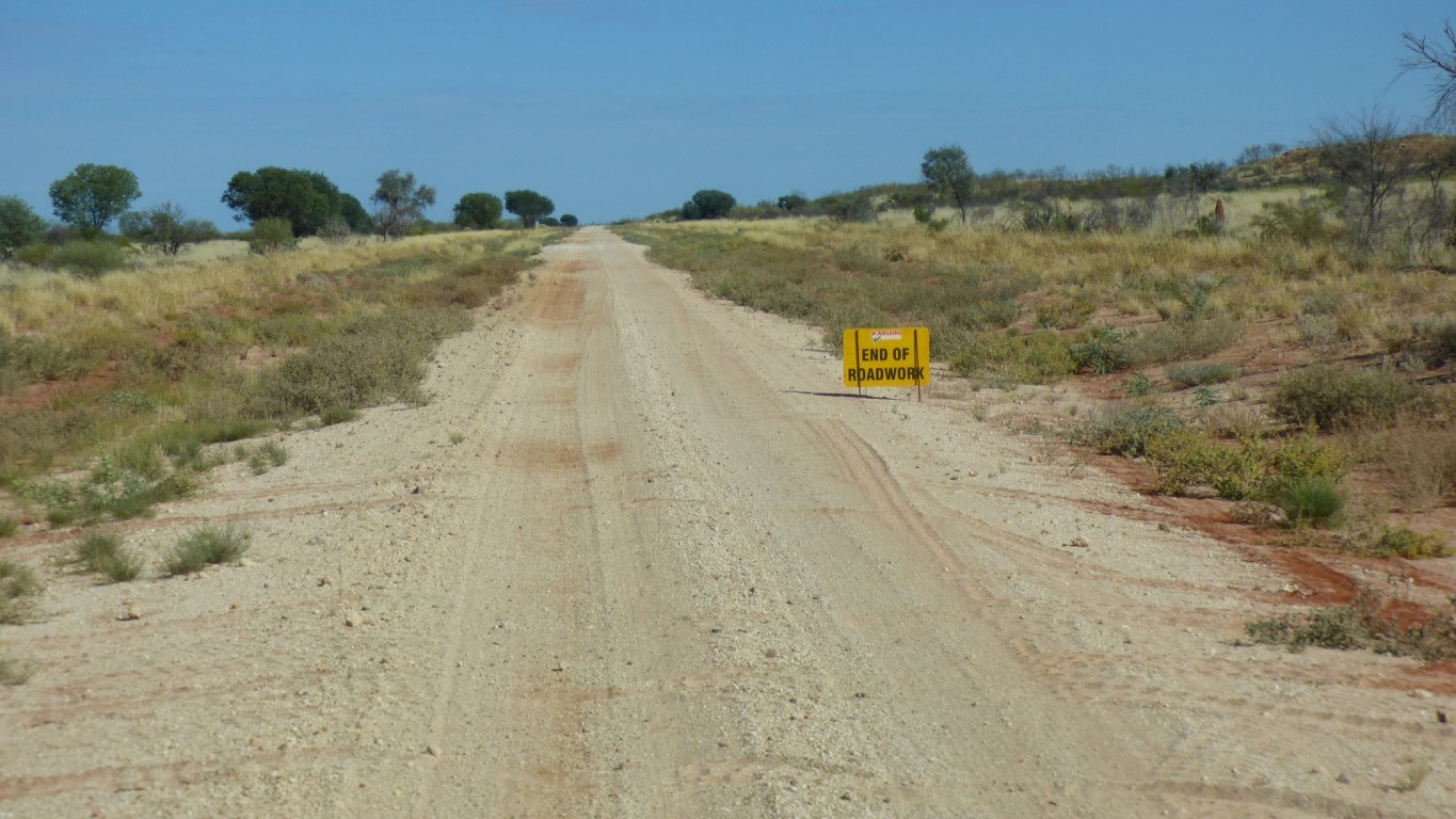
The road narrows. We begin to notice corrugations.
Which gradually become worse until Kiwirrkurra turnoff.
Though my spare energy for looking is decreasing as the corrugations increase.

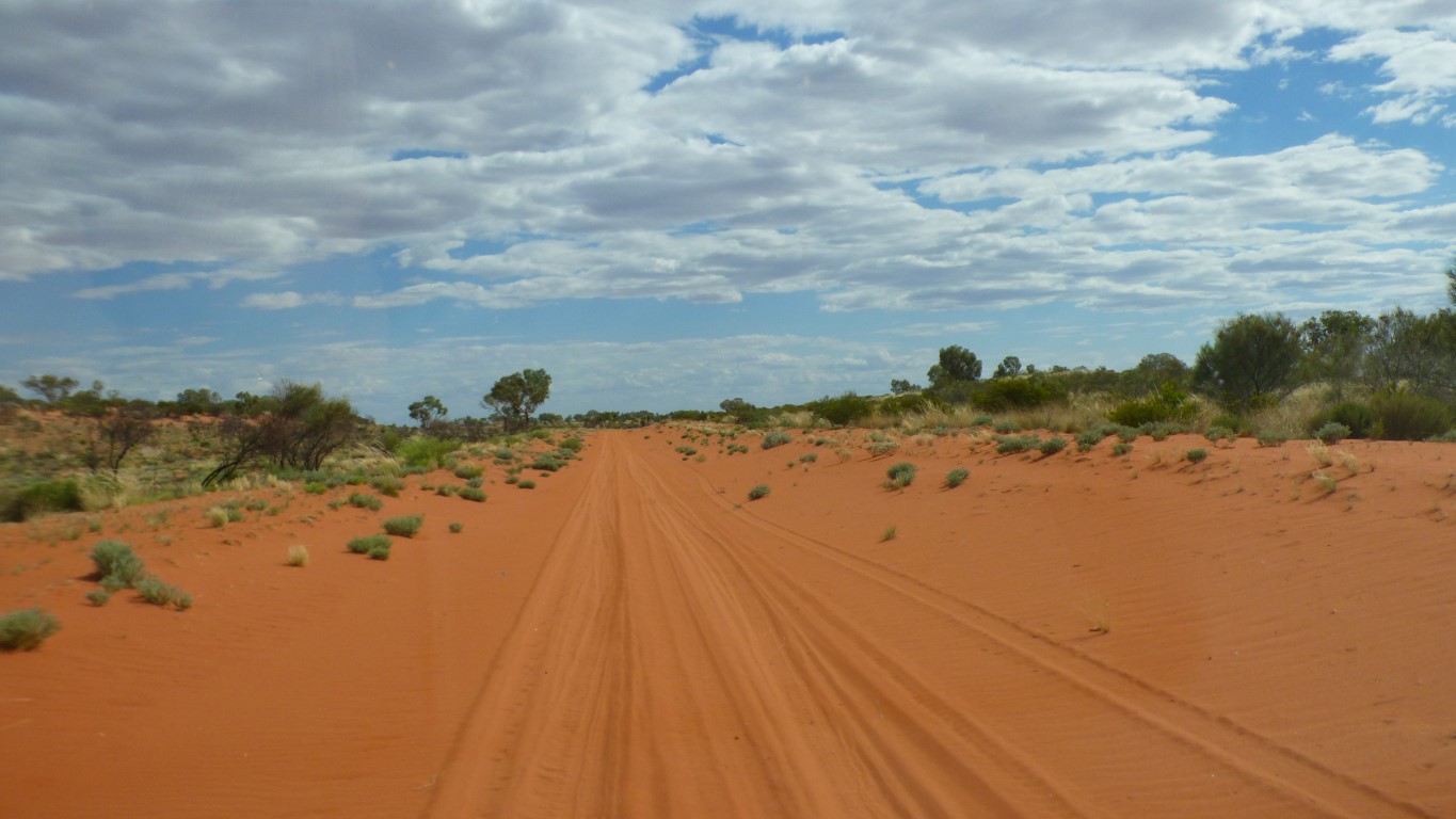
The very stony, corrugated, made up road.
And the track in the sand beside it.
But not a totally new track, just the graded "gutter".
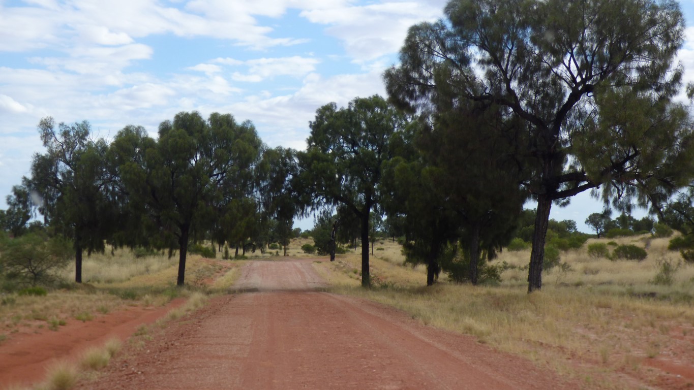
Instant relief from corrugations.
For a while.
We decided not to detour into the community. Wary of the spring.
The community was created in the 1980's when a bore was sunk. The road that had been created to track and recover Blue Streak Missiles, an endeavour which required removing nomadic people from their land, later provided access to create the fixed community as people returned to their land.
Moving people from their homes to change the use of the land goes back a long way. We recall the enclosure laws in Scotland. People have long memories.
In 1984 nine of the Pintupi who were missed in the original removal were found by relatives from Kiwirrkurra, though the nine knew they weren't lost. Just hadn't seen anyone for a few years. I have no way of imagining the impact.
He was a little faster than us.
Though surprisingly not much.
We decided not to have a look.
Though we were tempted.
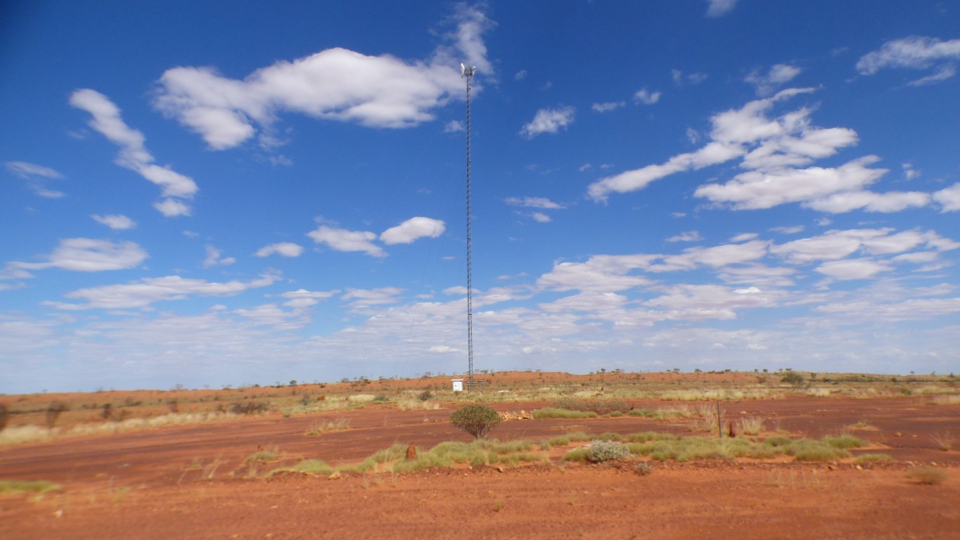
We did a double take on this one.
Unlike others we've passed the frame at the base had no solar panels.
This sort of surface had wall to wall deep corrugations. With no escape.
At times down to 10 km/hr.
Over the dunes is a hard surface, with, you guessed, corrugations.
In the swales nice soft sand.
In the normal scheme of things we would probably notice that there were some corrugations and carry on.
In our current state we wonder if the temporary arrangement for our broken spring is stable.
Fourth gear, about 40 (spring affected) km/hr, we don't even need 4wd.
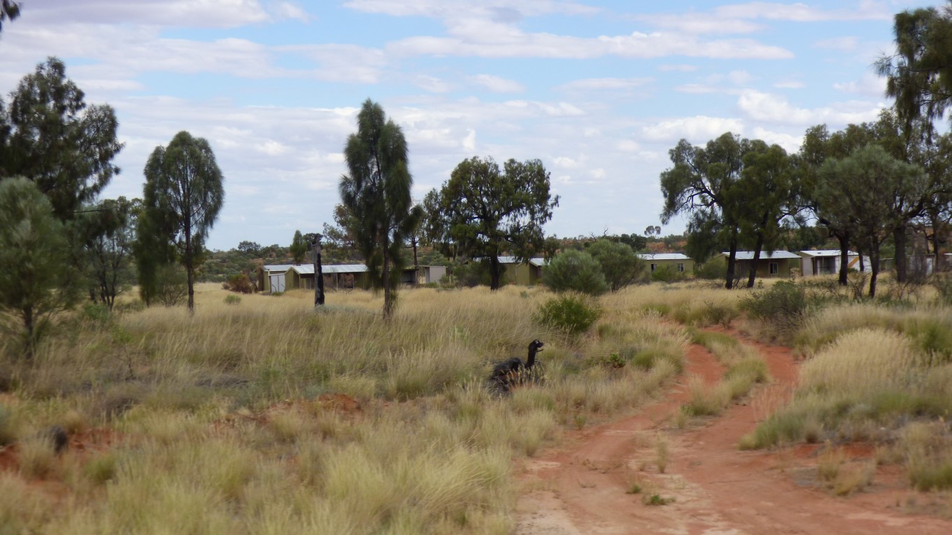
No signs. Some simple, modern, tin shacks.
No evidence of recent traffic on this entry.
A dot on the map and a name.
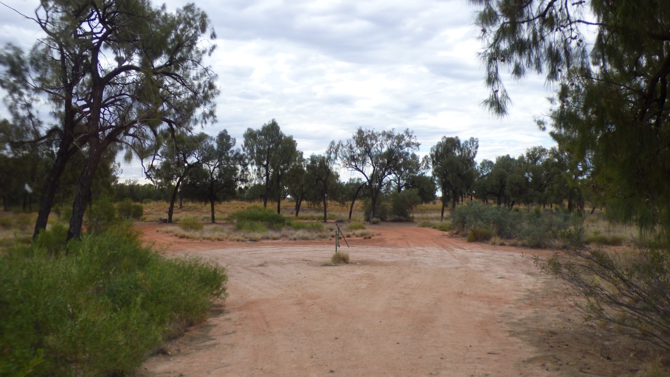
Jupiter Bore. Just along the road from Jupiter Well.
Good water. Spacious camping.
We've travelled 255 km in 9 hours. An average of 28.3 km/hr.
We consider that very respectable, given our circumstances.
So much so we'll award ourselves a day of rest tomorrow.
We are no strangers to travelling slowly. At times we have averaged less than 10 km/hr for long distances. But that has been mostly due to road conditions. Equipment failure is frustrating. Also not a new experience. But one we don't relish.
Importantly, for now, the broken spring is stable. We feel lucky.
Not so a couple of things held on to the the house body panels with 3M VHB double sided tape that seems to want to let go with a bit of warmth and too much load. Bother.
Today is Wednesday. The new spring is likely to arrive in Newman on Monday, or Tuesday.
We will take a bit longer. We have around 850 - 900 road km yet to drive. About 30 hours. We aren't in a hurry.
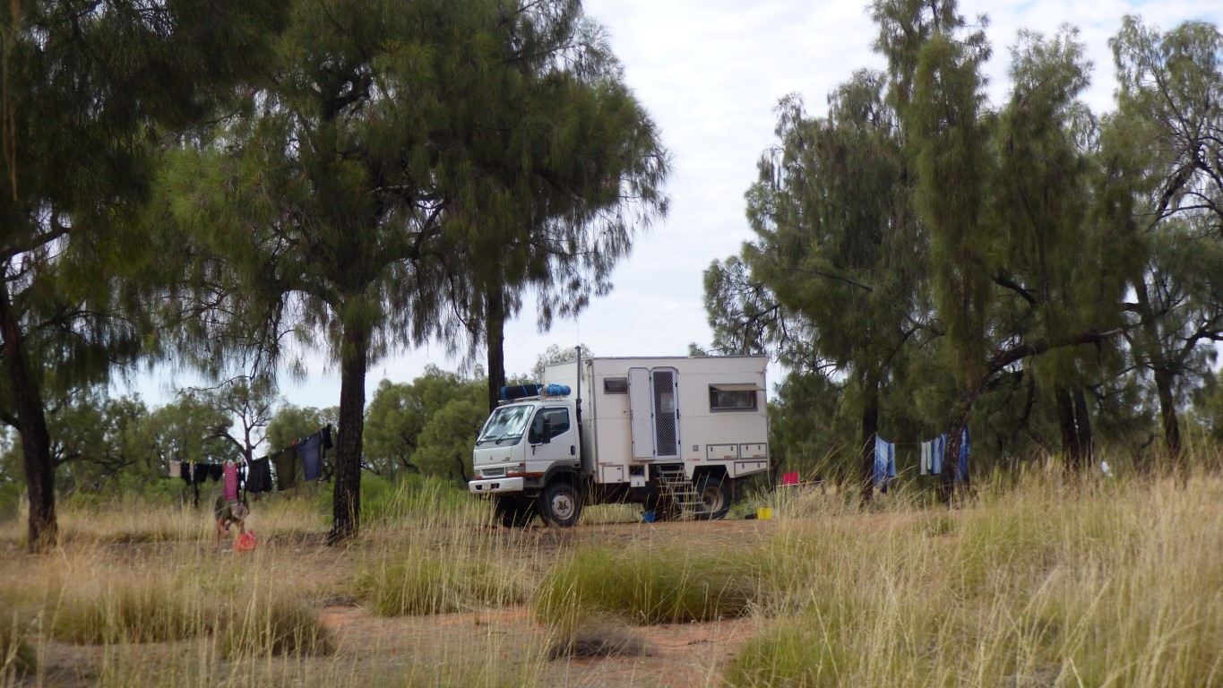
We filled the two rear water tanks. Then migrated a couple of hundred metres from the bore to a shady spot.
A very domestic day. Though we think there is something incongruous about being in the middle of a desert, doing washing, baking bread (in the bread maker), then relaxing listening to Irish and Beatle Ballads.
Lots of soap required with the hard bore water.
We'll have showers later and refill the tanks.
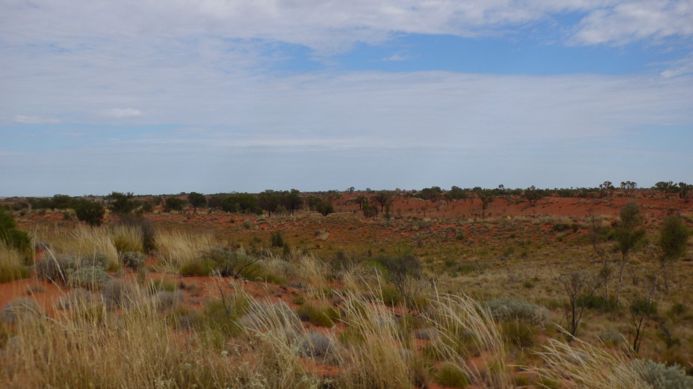
To see more dunes.
As we knew from the map, not the long straight dunes of the Simpson. A jumble of short lengths and hills.
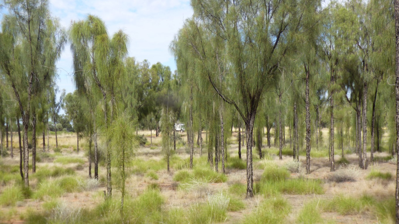
The dune top vegetation is predominantly the same as the swales. Even some trees on the tops.
We've seen a few cuckoo shrikes and a small flock of galahs. We've also heard, but not seen, a few smaller birds.
There are few hills left to funnel the wind.
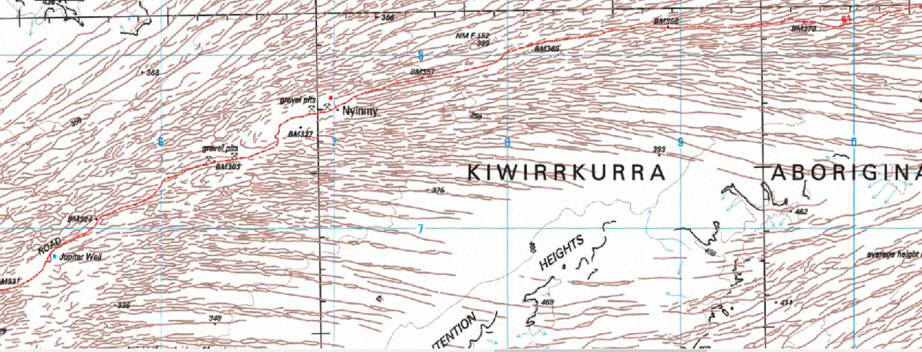
Jupiter Bore is nearly at the left side of the map on the red line that is the road.
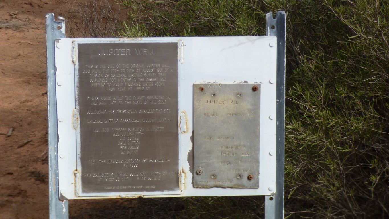
It was dug in 1961 by a survey party from the National Mapping Council. There's a small arrow sign to the Nat Map 1961 camp just east of the bore. North of the well.
No indication as to why they were surveying here.
Redug in 1985. We wonder if this is the same Philip Nitschke who has been prominent in the voluntary euthanasia debate.
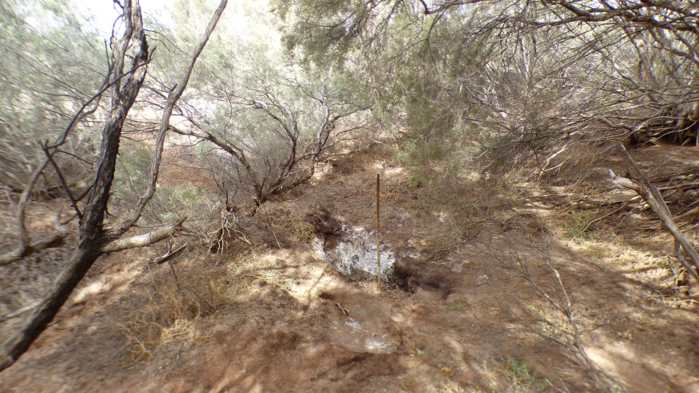
Now surrounded by bushes and just a bit damp.

There's a few well established animal tracks leading from (or to?) the well.
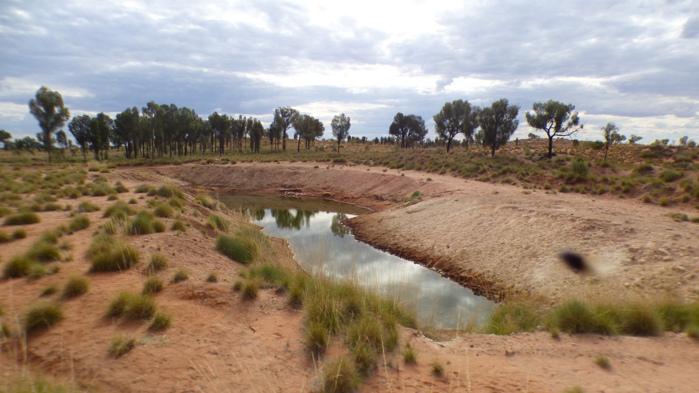
No commemorative interpretive signs (yet). Just a big hole in the ground full of water. In an arid land with little rain.
The road has been built up for this section. A nice alternative to being below surrounding ground level. Must be a bit boggy at times.
We haven't seen any extra life around the well.
There's a collection of camel bones at water's edge, about central in the pic. And one of the interminable flies on the lens to the right of the pic. I didn't taste the water.
A bit hot for walking, our hottest day yet at 36.8 degrees C (body temperature). By the time we'd walked to the old well, explored a few animal tracks, the old campsite, the new well, and returned to the truck we'd walked 4.5 km in a bit more than an hour.
Time for cool drink. Fruit flavoured water from the fridge. And a cold shower. Where cold is a lower temperature than I.