
We think this is a wattle. We haven't seen one for a while.
Perhaps the biggest difference we've noticed in being out of the desert is fewer flies. So many less that we no longer need the fly screens during the day. There are still some flies, but not the vast cloud that gets in eyes and ears, that is almost enough to drive one to insanity. We now just need the occasional wave.
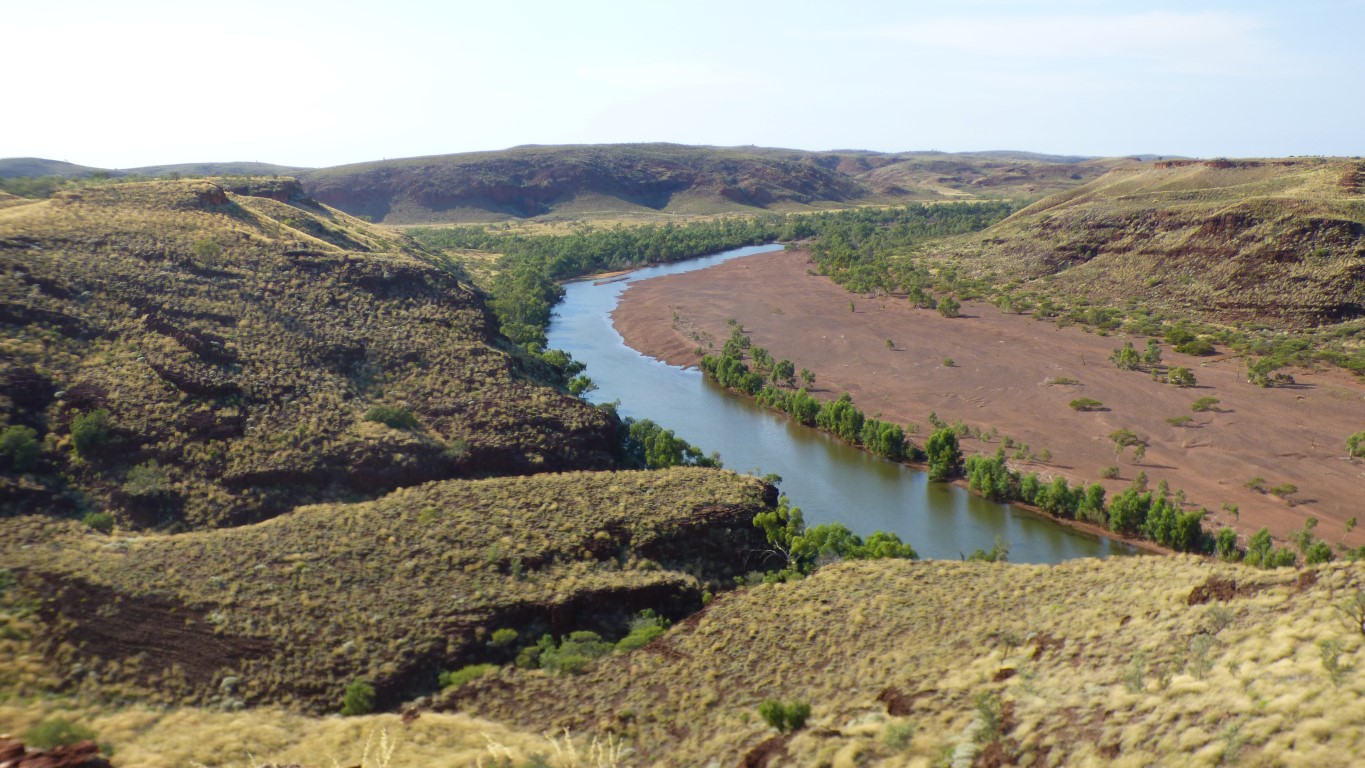
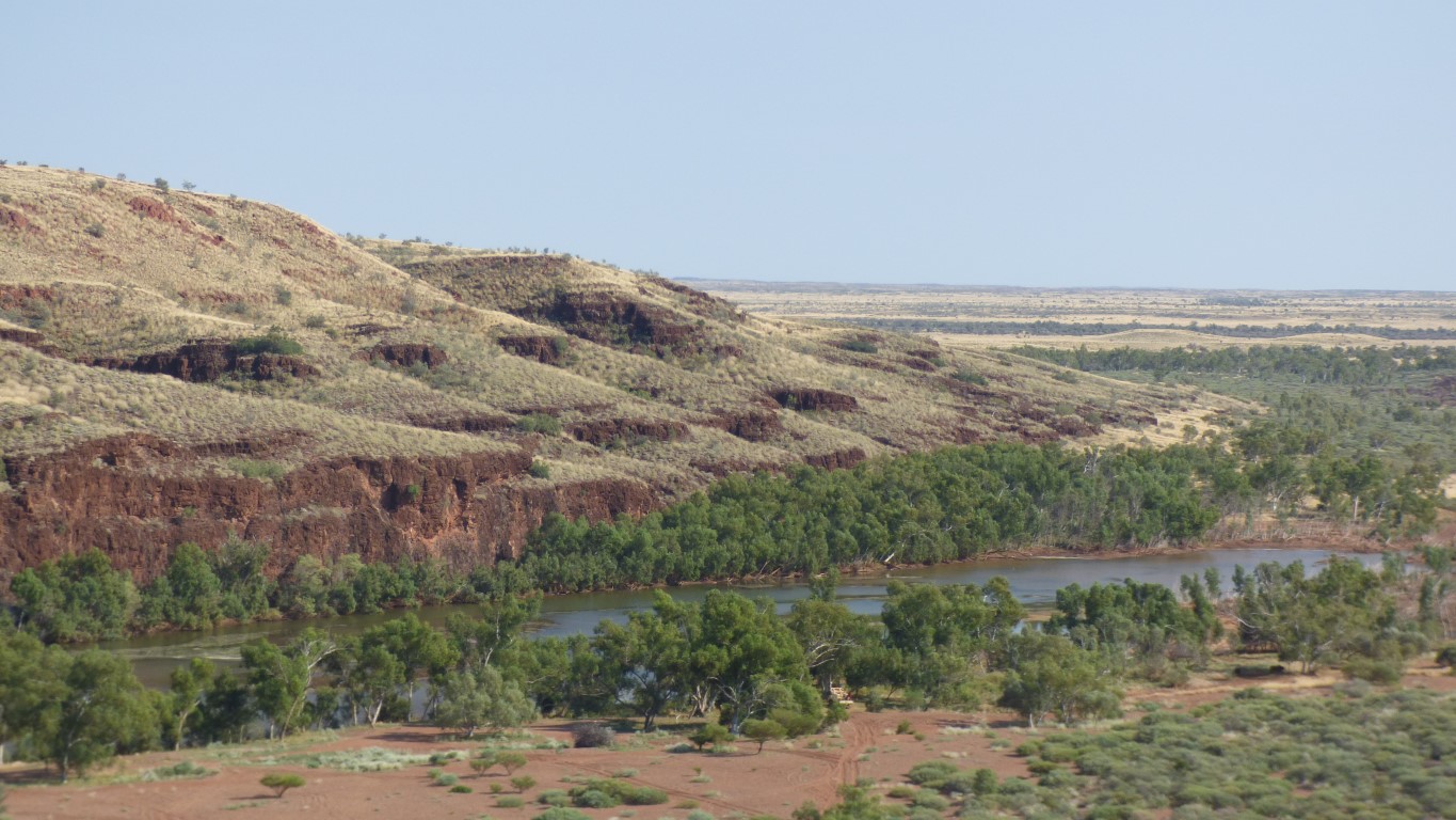
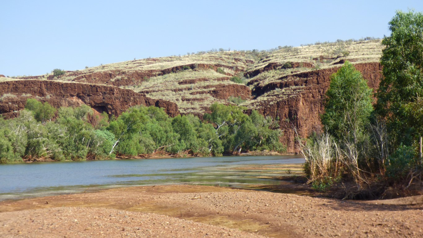
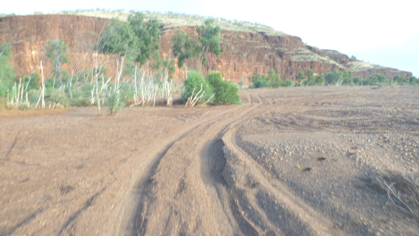
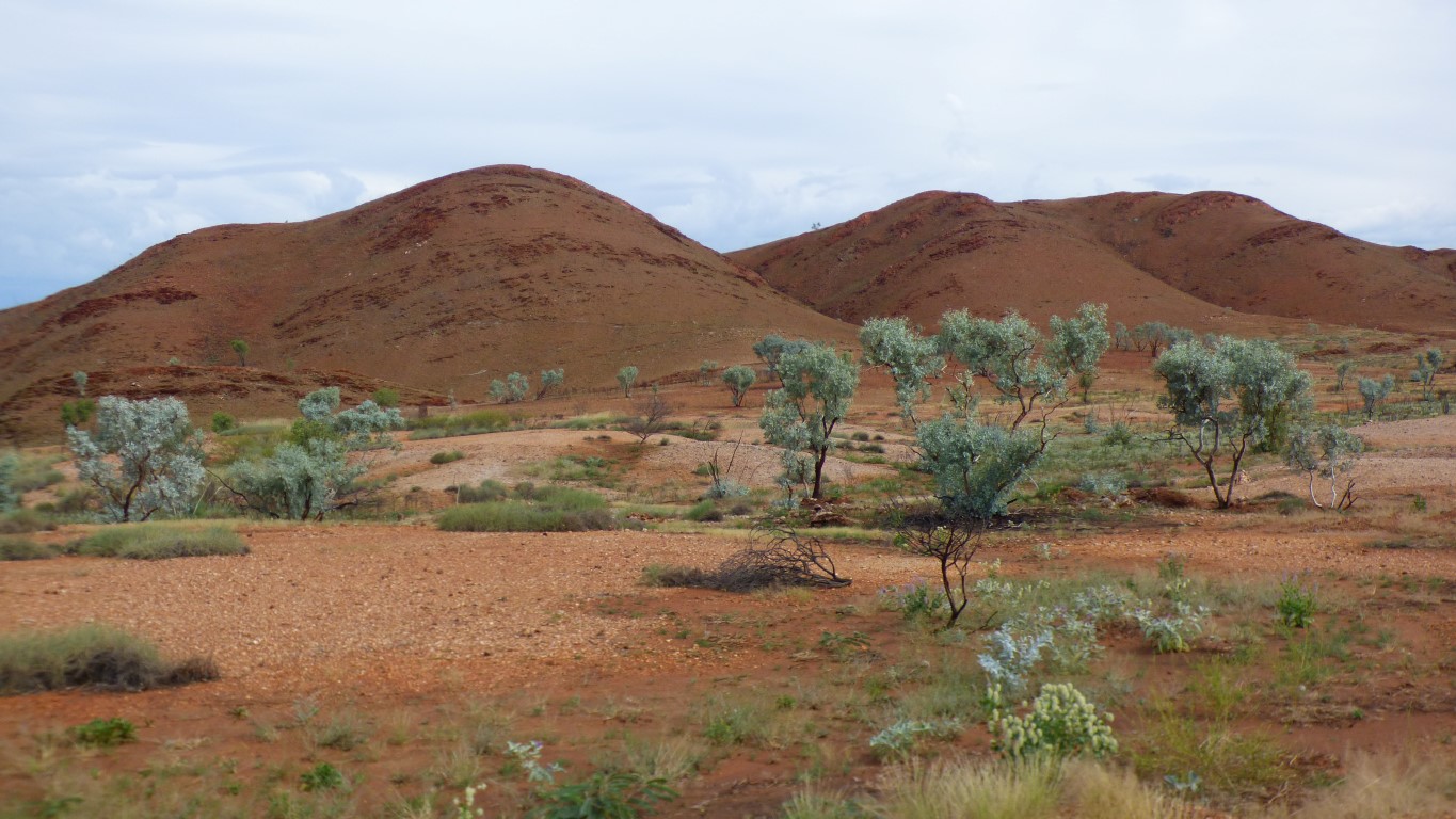
The un-vegetated bit is coarse gravel. There's been a big flood somewhen in the last few years. It would have taken a lot of water, flowing fast, to move the gravel.
If it were flowing the Oakover River would be flowing towards us, from south to north.
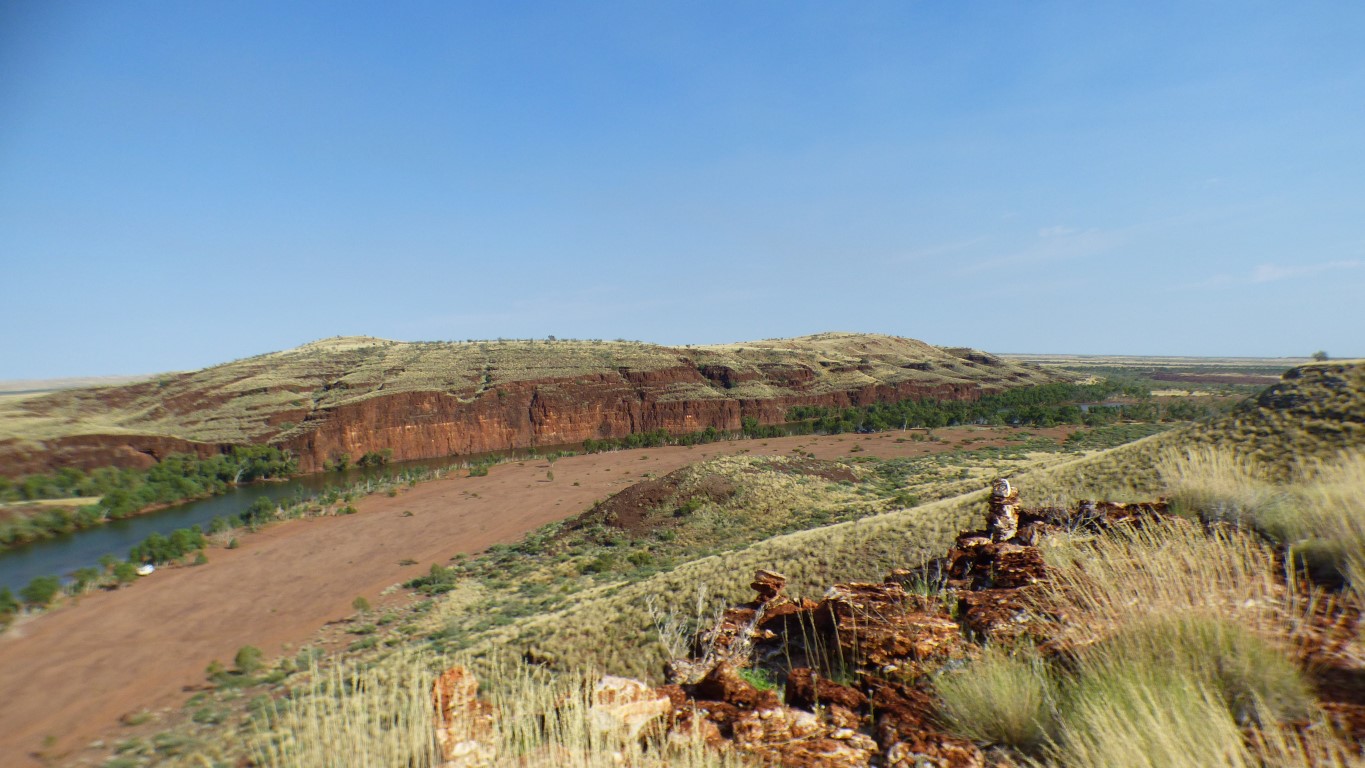
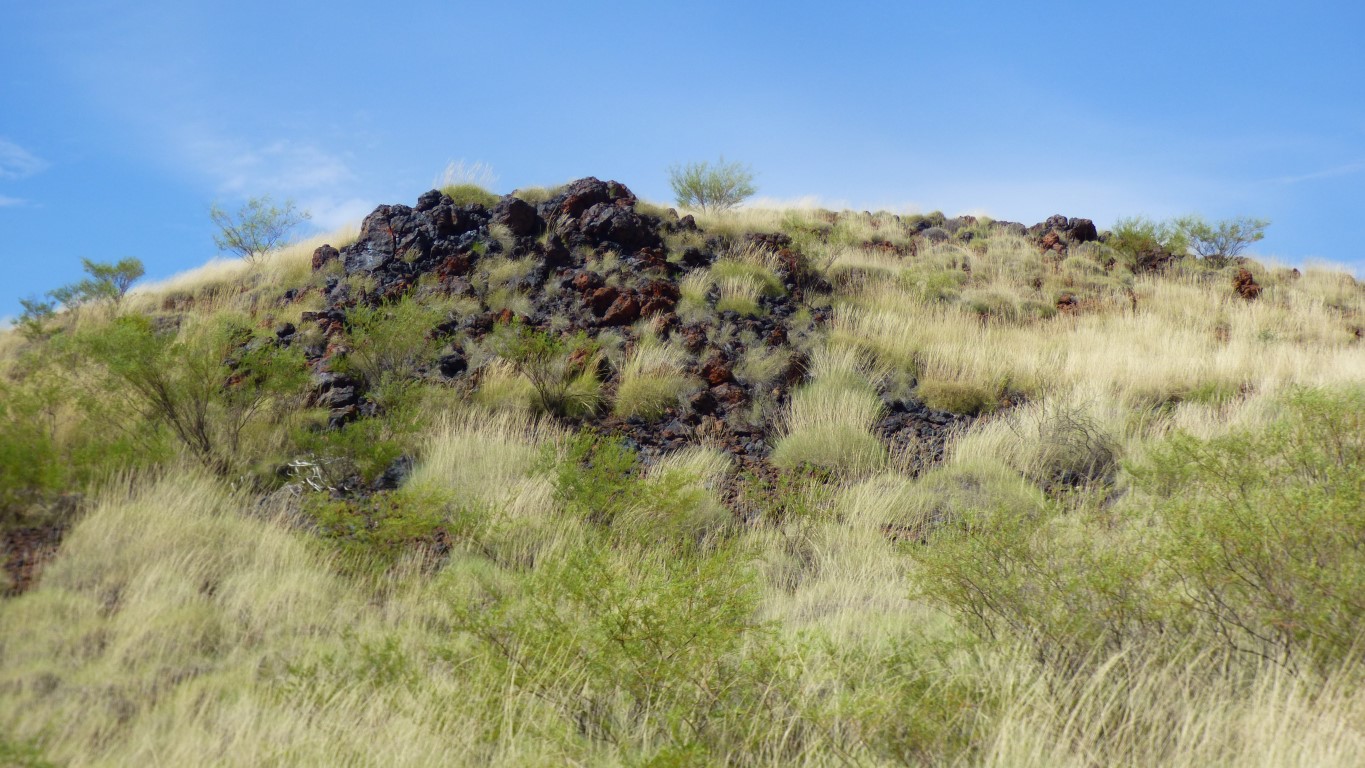
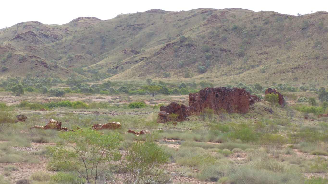
We are on top of one looking across the gorge.
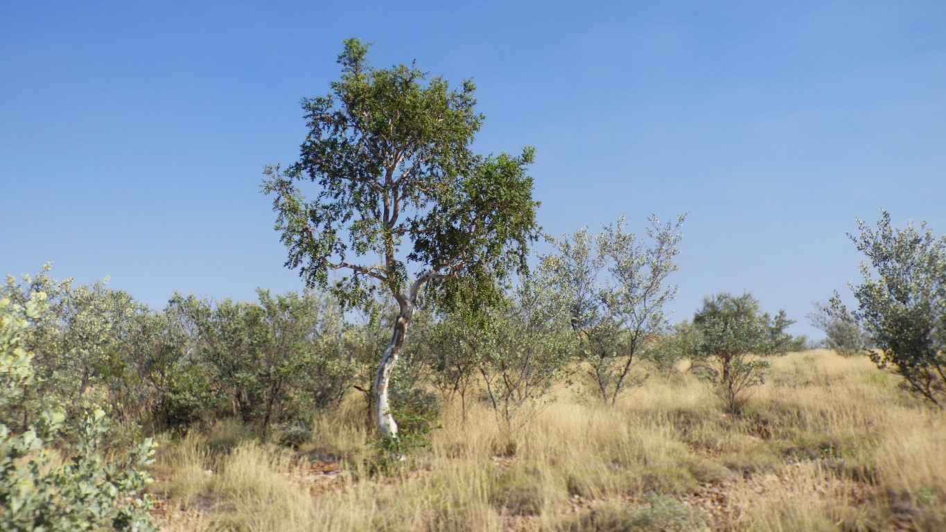
Not a variety we have seen elsewhere. But then there are so many.
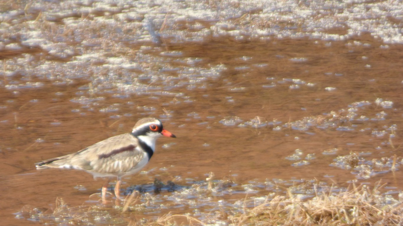
If we were beside the sea we would immediately think "dotterel". Its picking food up in the drying weed at the edge of the water.
We guessed right. A black fronted dotterel.
I'm more comfortable with the tip of the second leaf having broken off.
More confident as time, and km, go on. And the roads become easier. We achieved 50 km/hr on the sealed Woodie Woodie road.
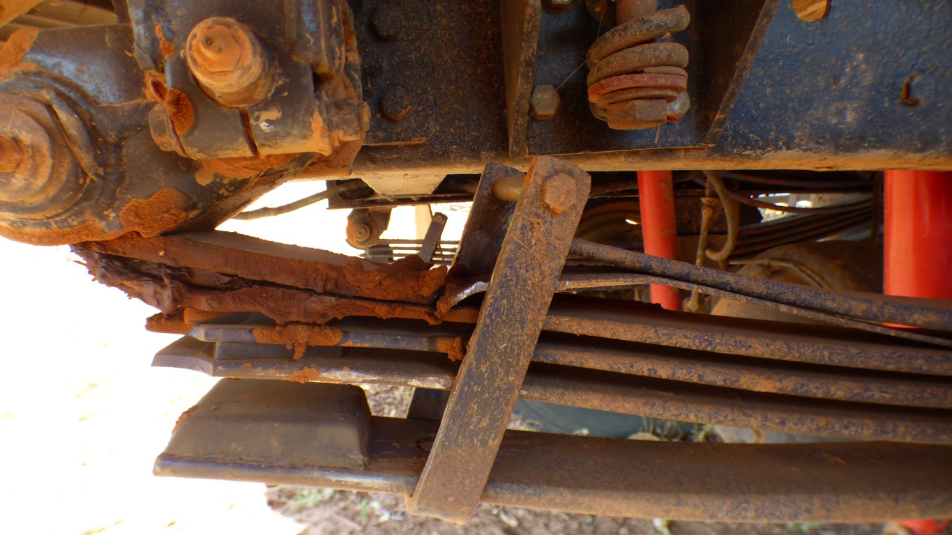
Lots of grease. Looks like my initial spacer has become more squashed. There may be enough room to remove it.
I remain intrigued as to why the helper leaf is not required. I'll keep staring at it until some inspiration, like "its bent", hits me. I'll compare old and new spring before new is fitted.
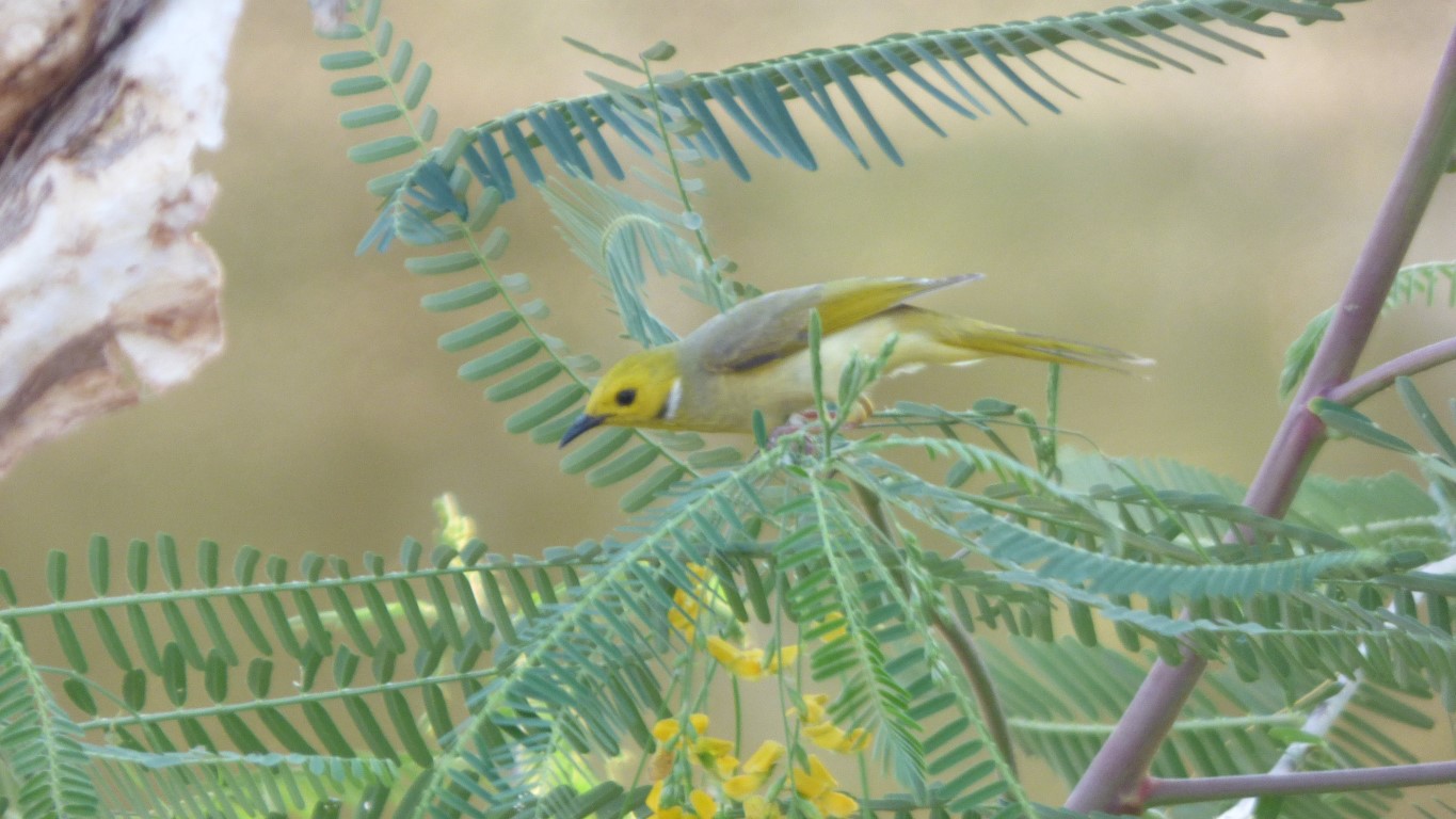
A white plumed honeyeater. I think. It did the usual bird acrobat thing of hanging upside down to extract nectar from the flowers.
Even with the bird book its hard to know when the landscape is unfamiliar.
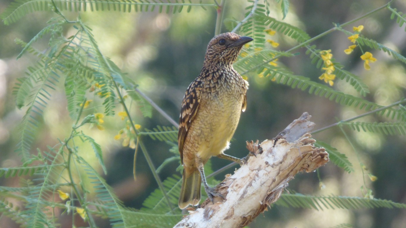
Fairly distinctive. Which should make it easy to identify.
But for me it doesn't make it easy. We suspect it may be young. At least that's our excuse. It gives us an impression of being a female bower bird but doesn't quite match aything that "the book" says lives here.
We also thought we took a pic of a forest kingfisher. But the book says they don't live here either so it couldn't have been!
And rainbow bee-eaters. Which are lovely and hard not to recognise.
Plus lots more ..... a veritable wonderland.
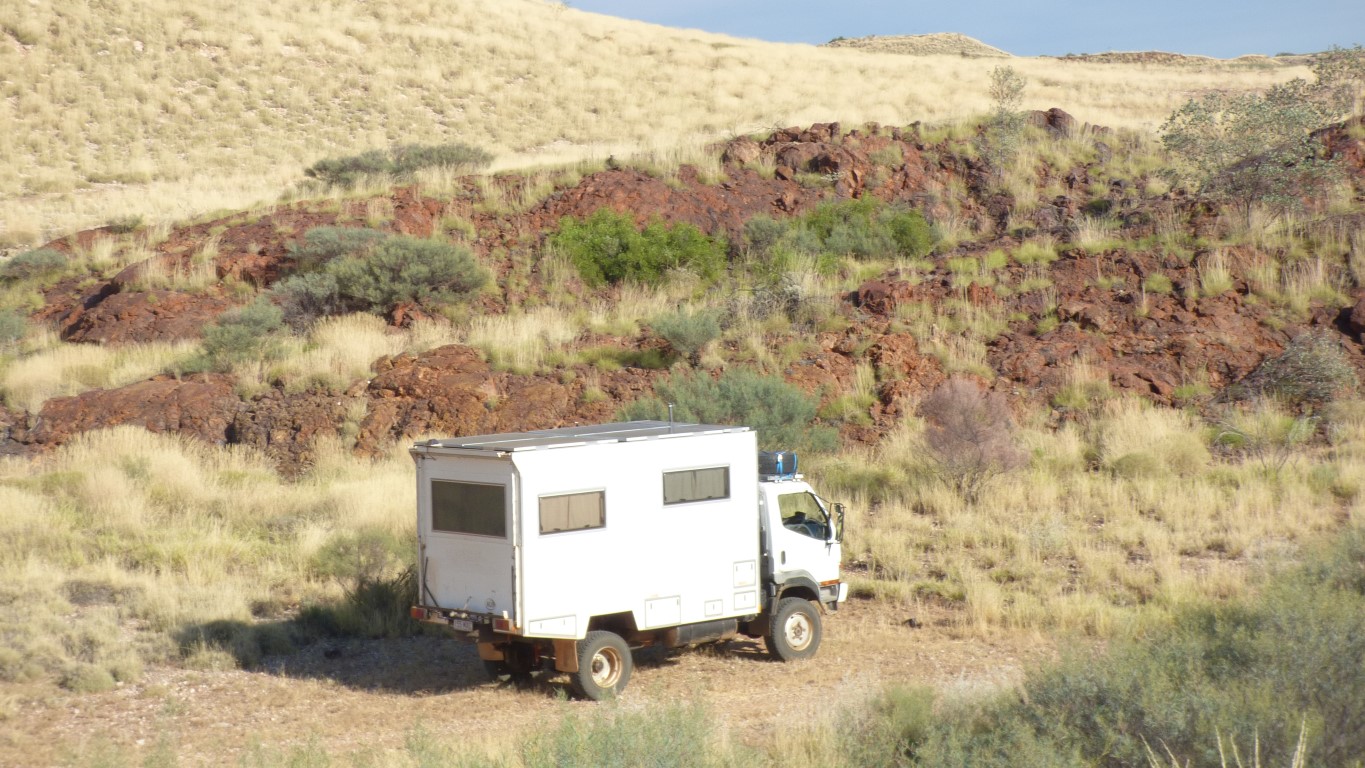
The spring has arrived in Newman. Today is Tuesday. A plan may be to spend Wednesday and Thursday driving to Newman then have the spring fitted on Friday.
Alternatively drive on Saturday and Sunday to have spring fitted on Monday.
We figure that the sooner we know we have the right spring, fitted, and are fully mobile again, we will be happier.
Its relatively easy to examine the broken spring and, with some knowledge of how they are designed to work, take some remedial action, and believe the spring will last until Newman.
However. Having that happen is quite different. One can't really know until after reaching Newman.
So far so good. But there is always some doubt.
The gravel at Carowine is a bit soft. One wonders if we should have made the detour.
We win in the end.
There's a sign post.
But even then we are sometimes unsure if we are looking at the right bit.
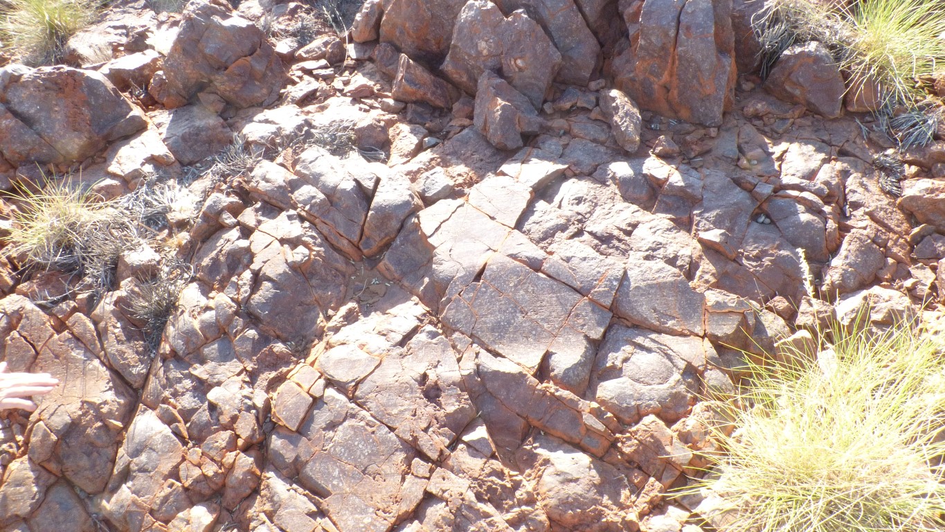
Rubbing one's finger across the smooth surface discovers its polished. The rock, not the finger.
There are also parallel scratches visible which indicate the direction the ice moved.
More research to do when internet available.
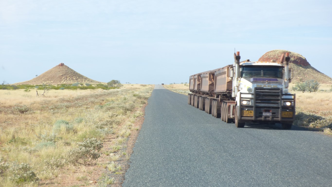
Four trailers on this road train. Carrying ore or concentrate.
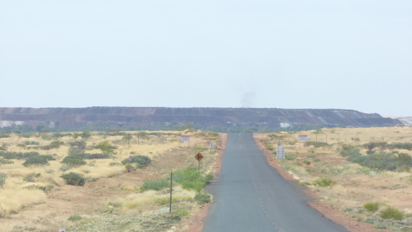
At least the mullock heap is big.
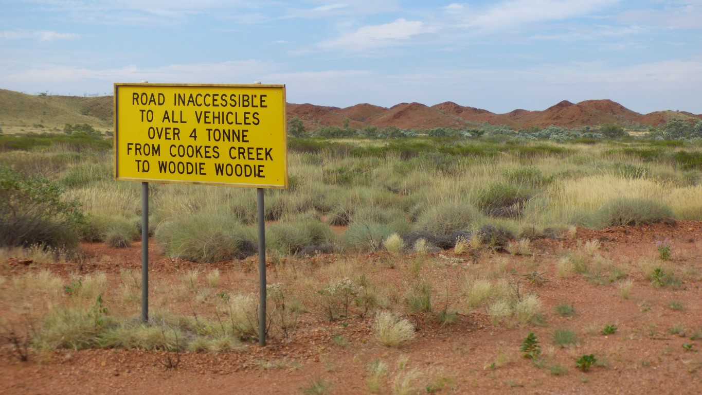
We aren't allowed to drive straight on into the restricted area.
So we turn right onto the wonderfully named Skull Springs Road.
Its marked as a major unsealed road.
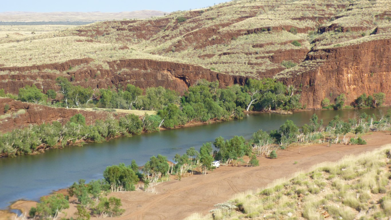
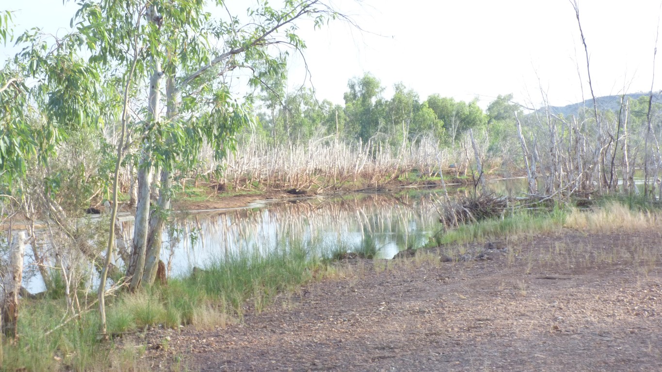
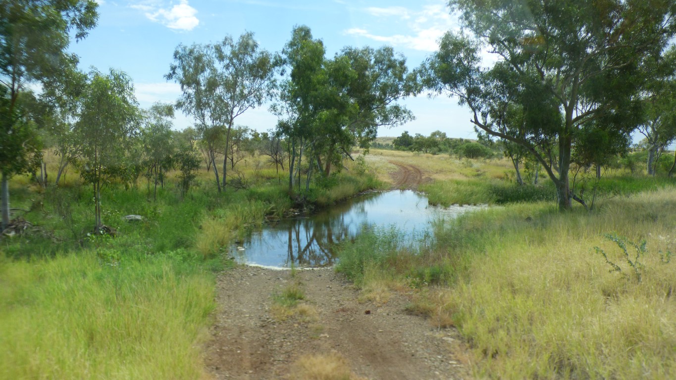
Swimming and a campsite if we wanted one.
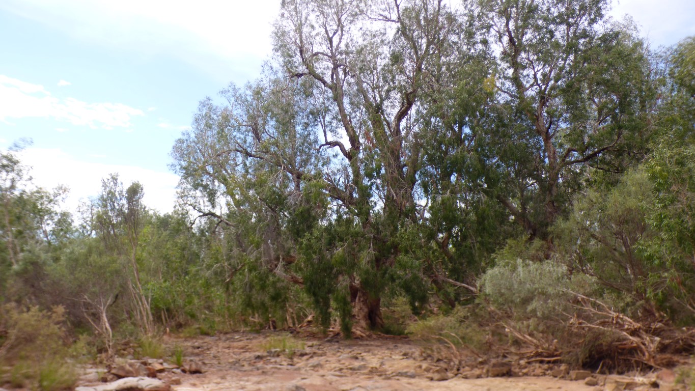
We have to stop short of the water. There are large paperbarks and overhanging branches.
About 300m to walk. Too far for us to carry water to fill up tanks.
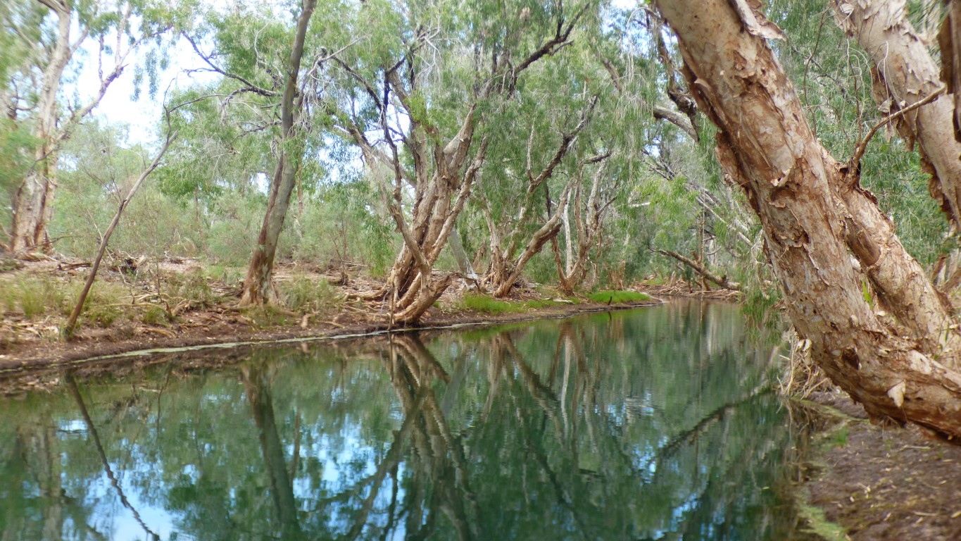
Its deep, and the sides are vertical. Access by hanging onto a convenient tree branch. I couldn't detect any flow.
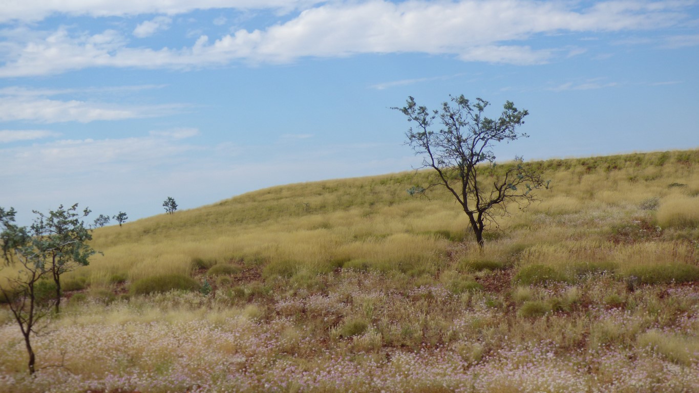
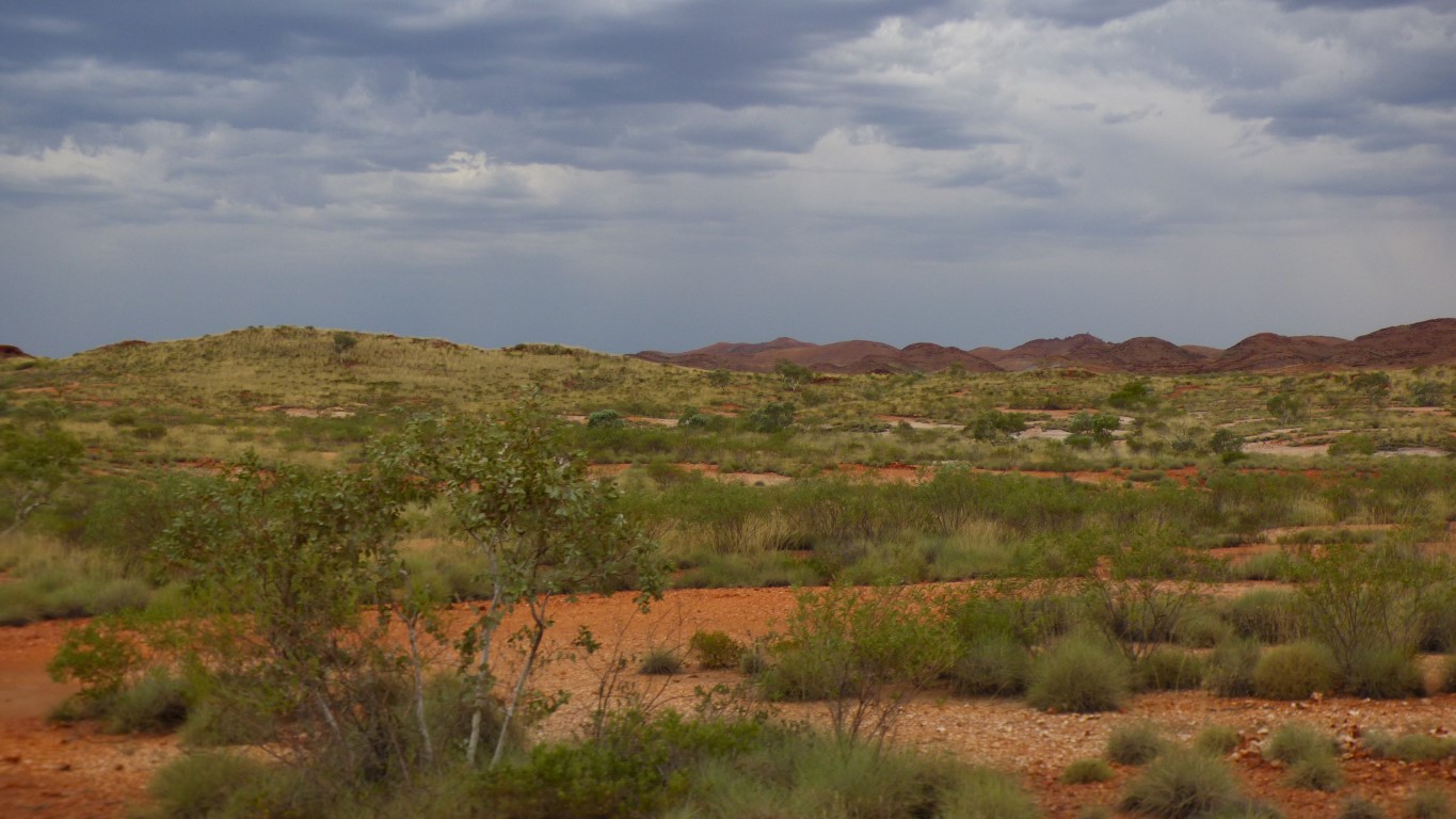
After open plains the atmosphere is somewhat ethereal.
Whatever that means!
The paperbarks form an arch over the river.
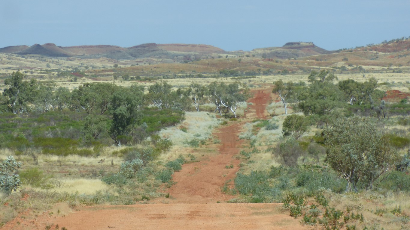
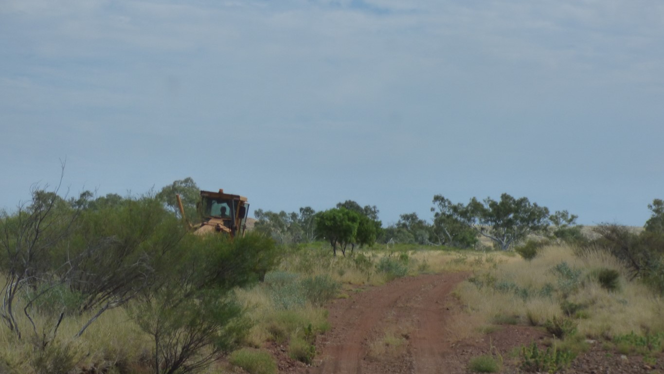
Corrugations and rocks slow us. Helped by washouts. By the time we get up to 20 - 25 km/hr we have to slow, change down a gear, negotiate a washout, then build up speed again.
The scenery is magic.
Smoothing out the washouts. Which helps us enormously.
I think there is an alternative Skull Springs Road to the right in the middle of the puddle but am not about to explore.
After the customary moments hesitations - can I see the bottom etc. - its an easy drive through.
A very well dusted tug and caravan.
I saw the dust before I topped the crest and pulled over.
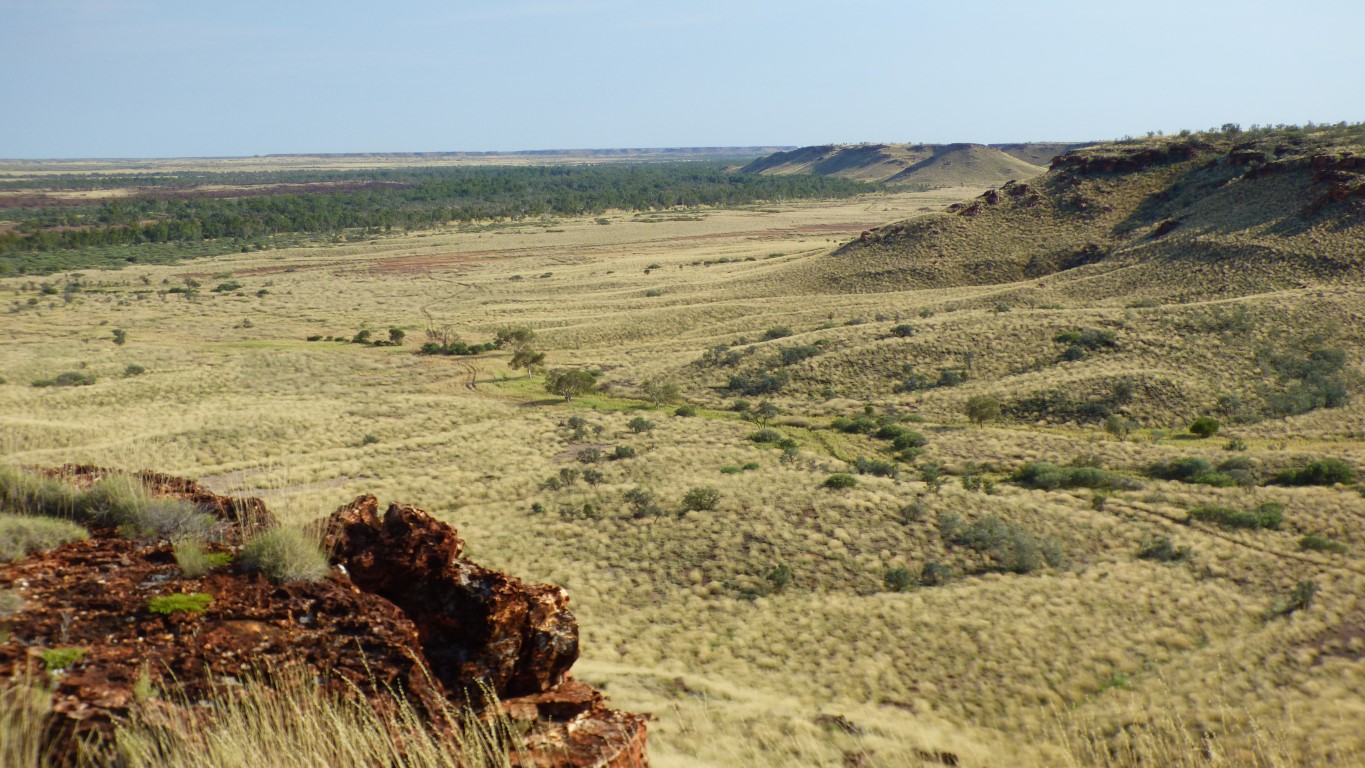
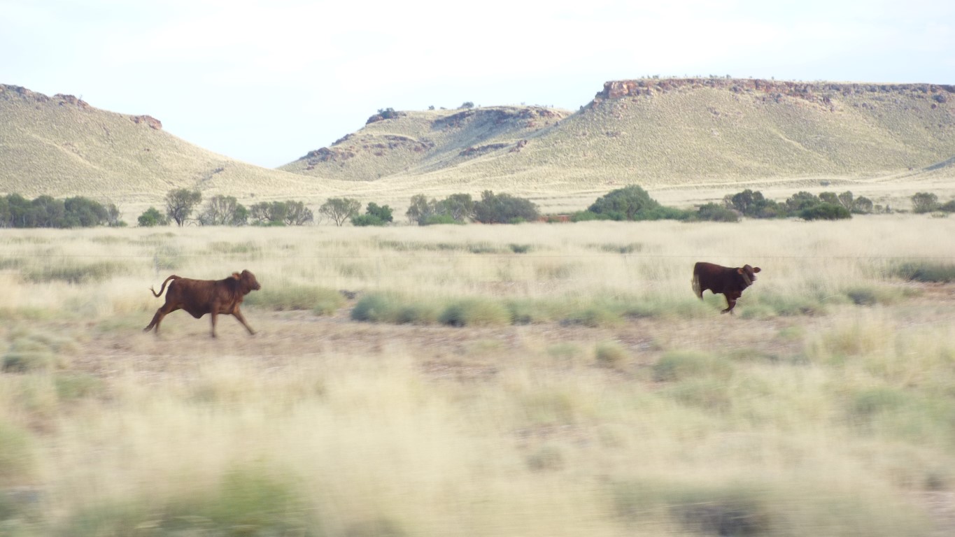
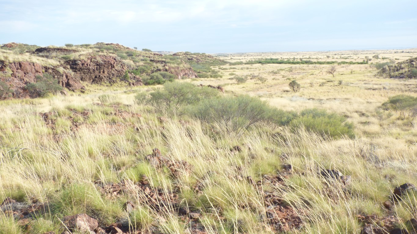
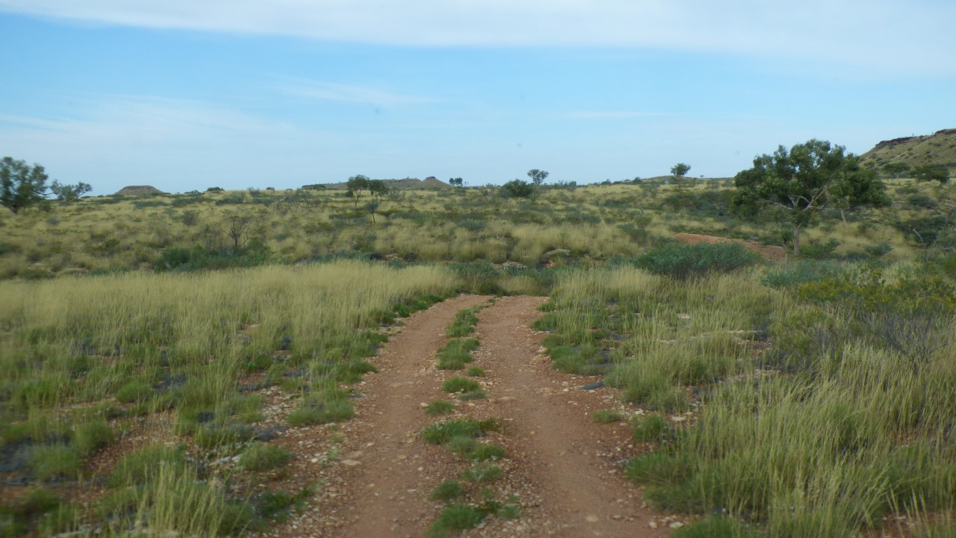
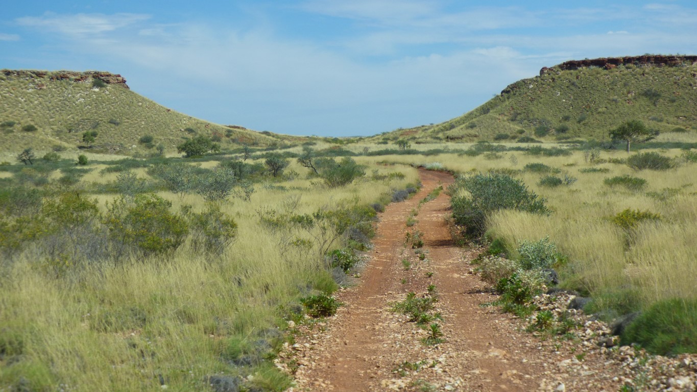
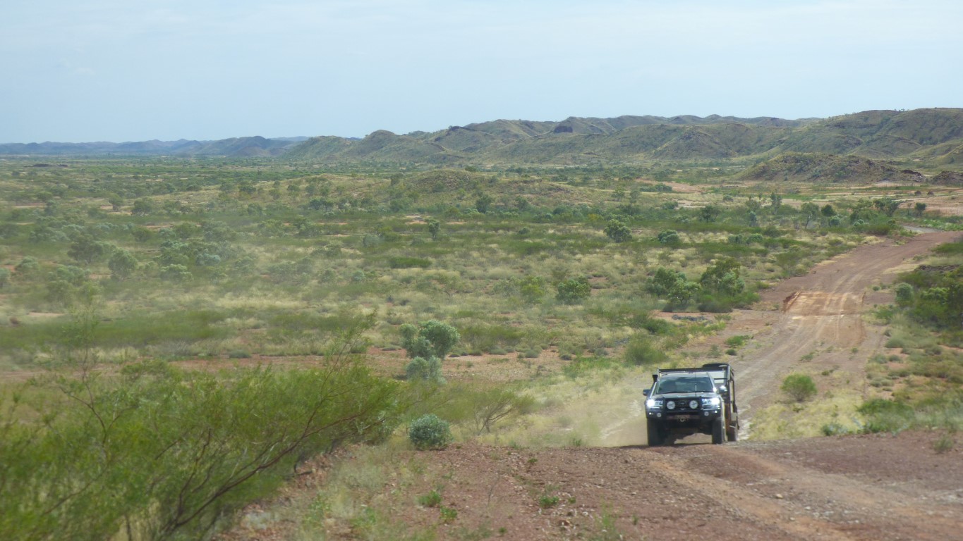
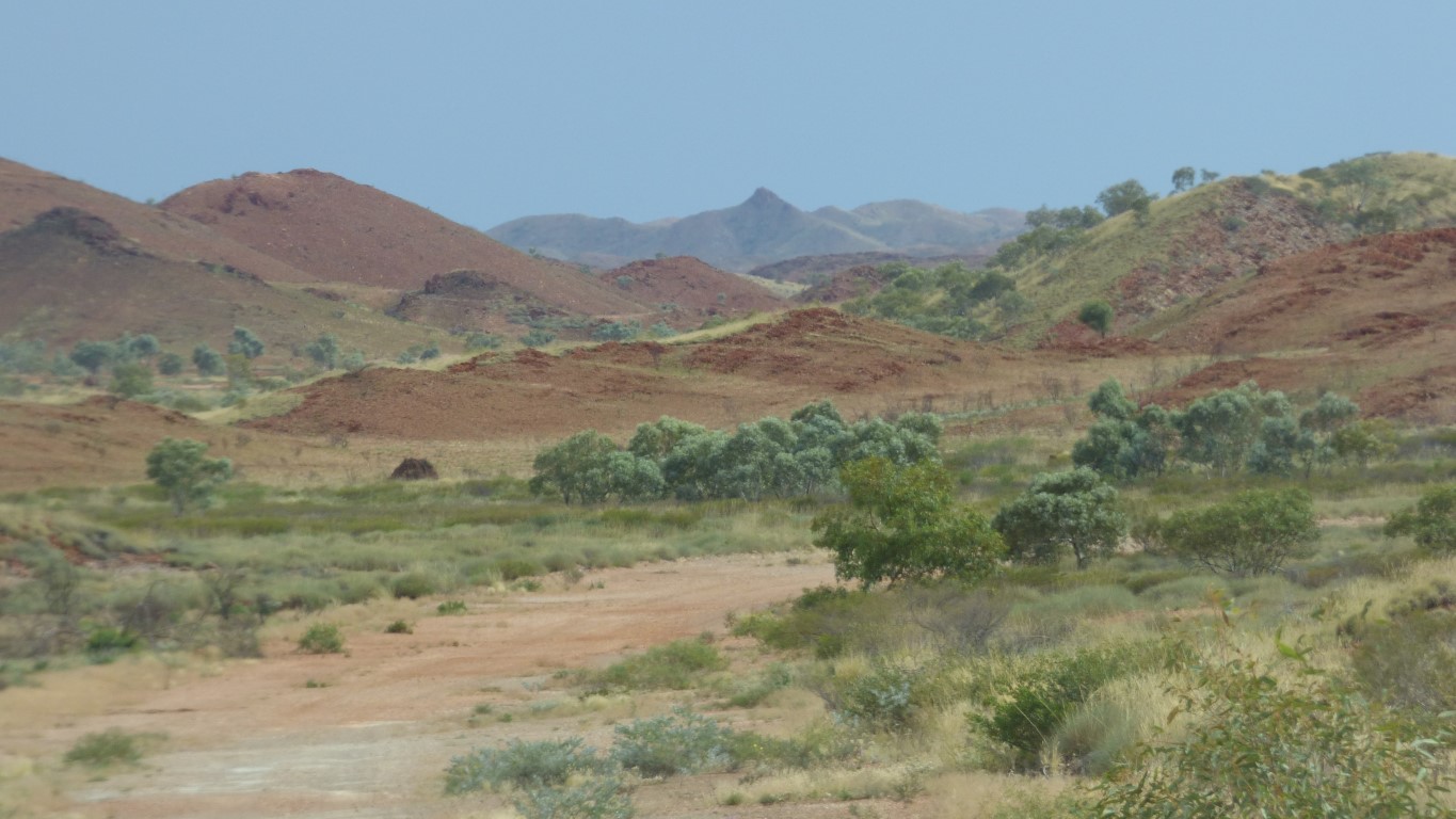
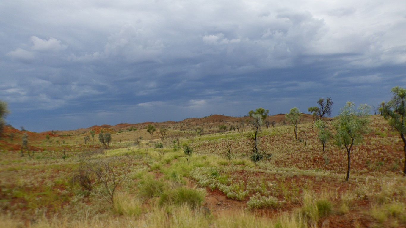
We have entered a very wide, very long looking, east-west valley.
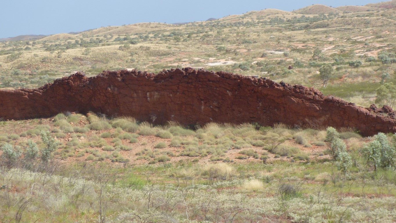
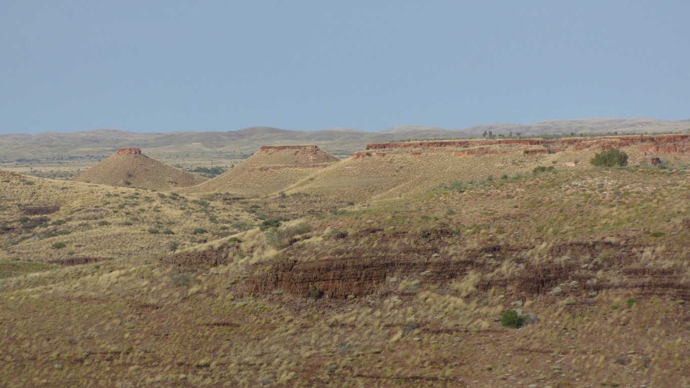
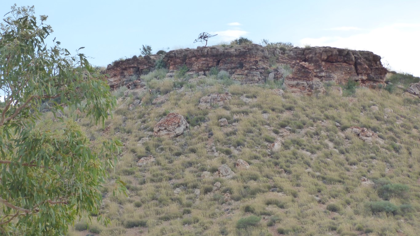
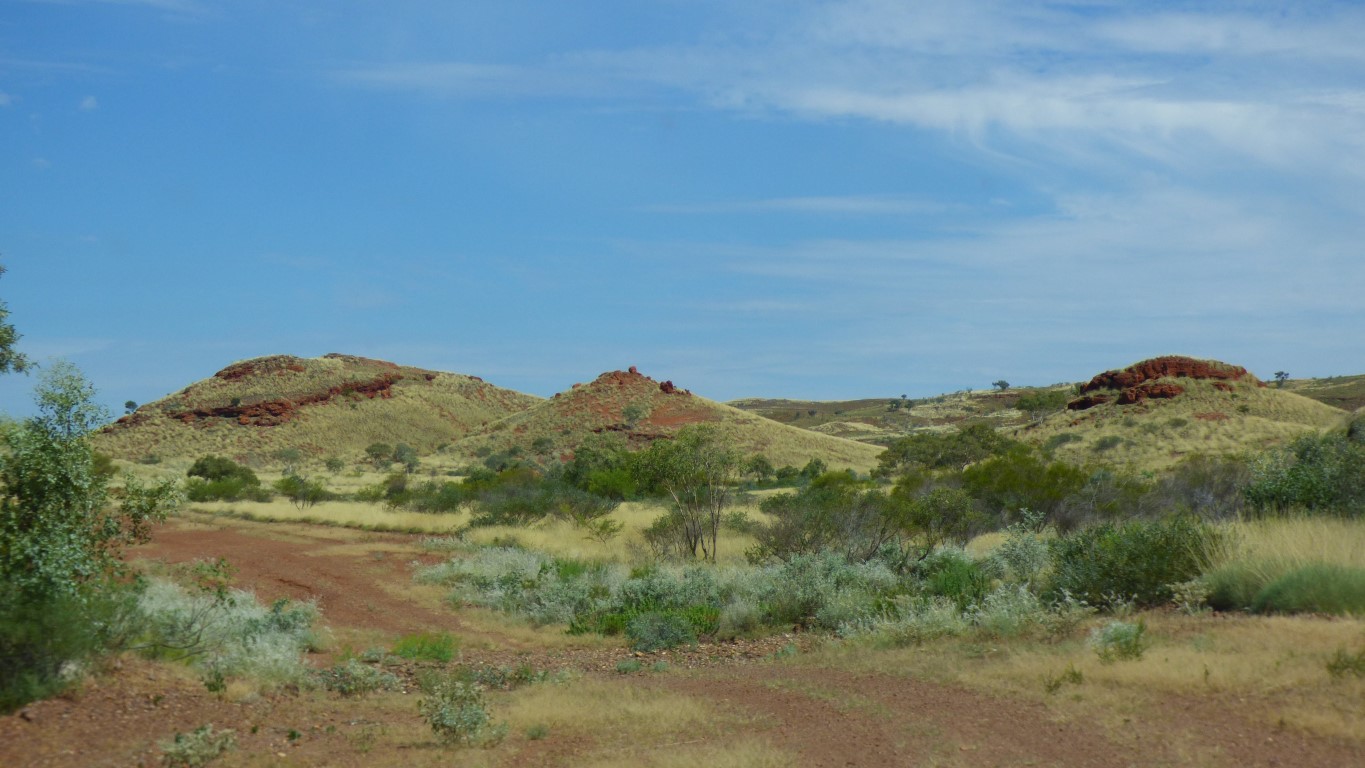
This is a "rock wall". A relatively thin seam of rock that is different to the surrounding rock, so has eroded differently.
They seem to be across the tilted bedding planes of the hills.
It allows us to see the fold of the land.
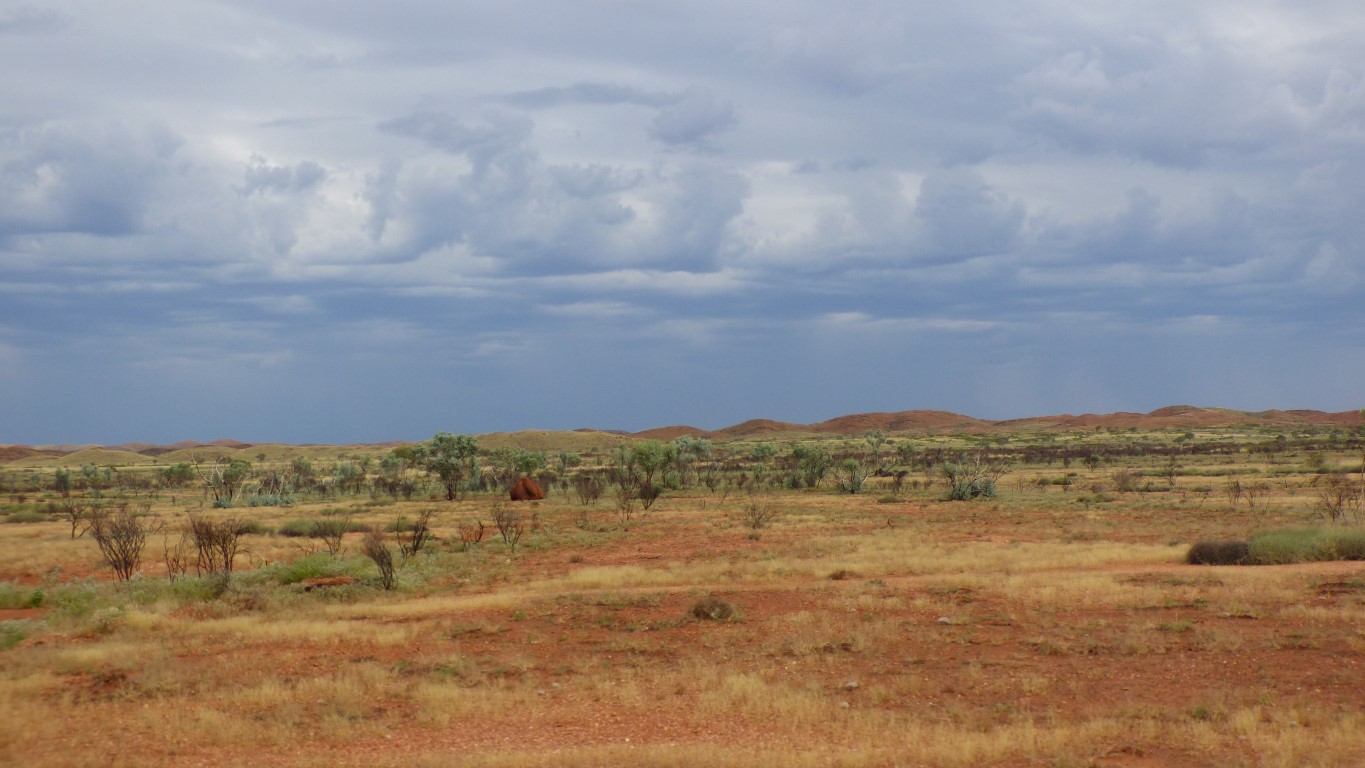
We watch the clouds build during the afternoon. This is the rain we heard forecast for the Gascoyne and SE Pilbara.
Does that mean us?
No wonder we found it a bit rough.
The road has been steadily improving, and continues to do so.
We are back to 40 km/hr for lengthy periods.
Its about 4pm. We are looking for a campsite.
There's lots of flat clear areas next to the road.
As darkness falls the rain becomes consistent, but light, then stops after about an hour. Not enough to contemplate collecting from the truck roof. We are facing the road, not far from it. Hopefully it doesn't turn everything to mud - unlikely, we think.
We hope to reach Newman tomorrow. Less than 200 km. On good roads.
A nice side effect of rain is coolth. At dark the temperature is 26 degrees C. We won't complain about being cold.