It will be about 280 km.
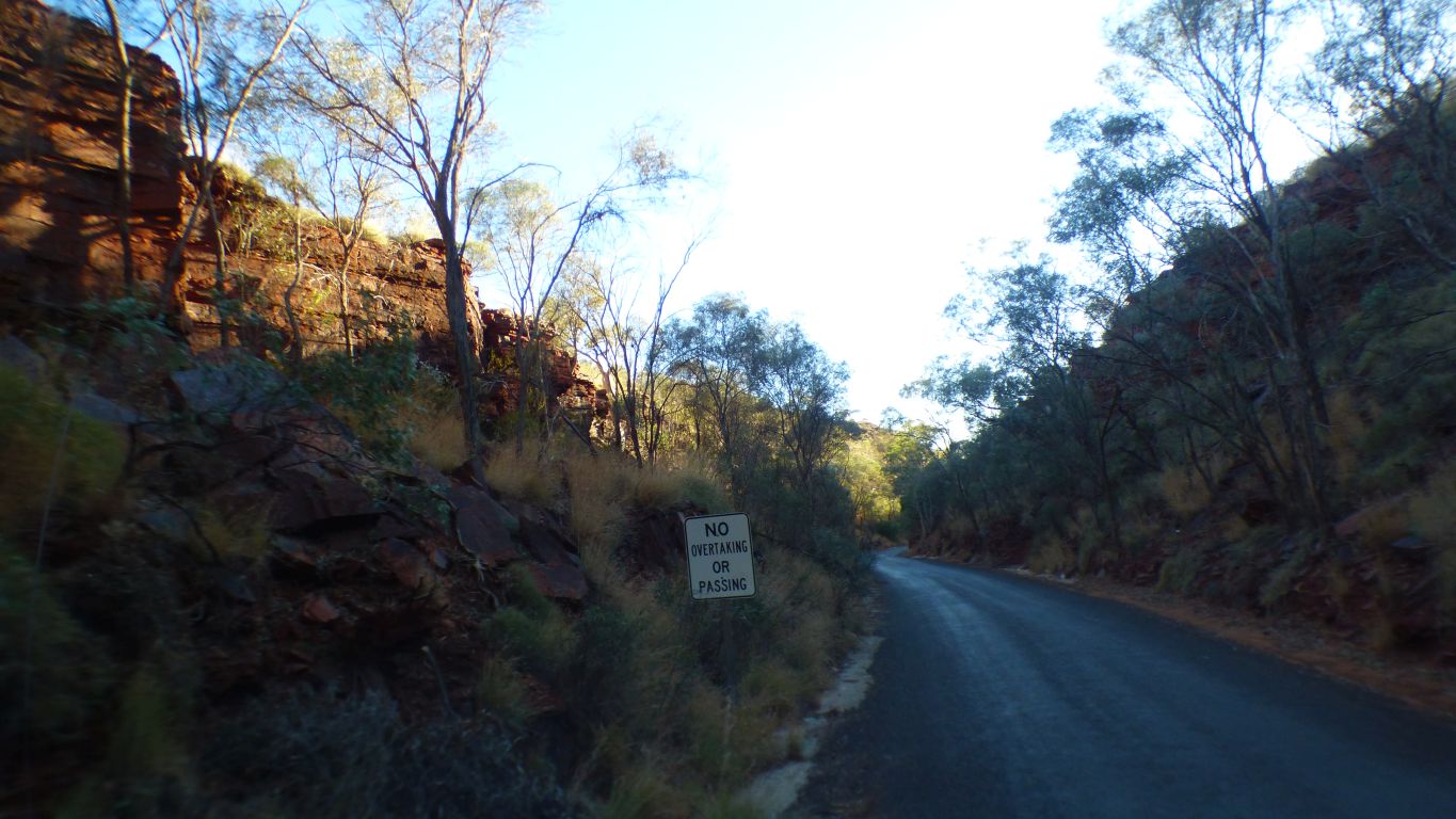
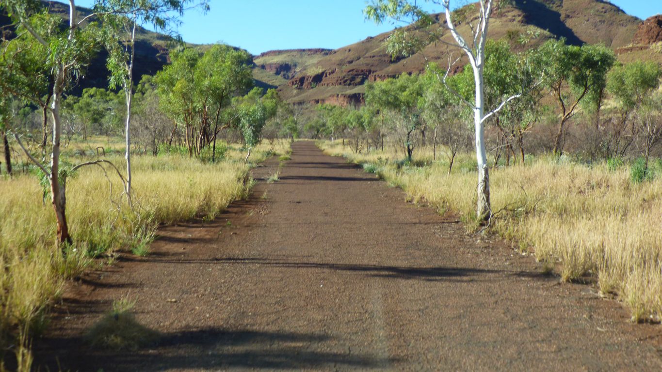
First we negotiate RioTinto Gorge - the road train headed in the opposite direction appeared just as we emerged from the gorge.
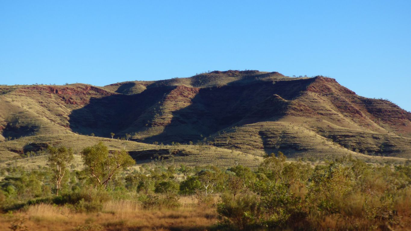
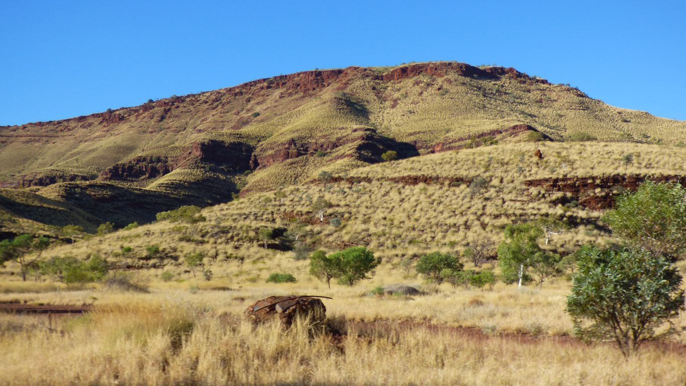
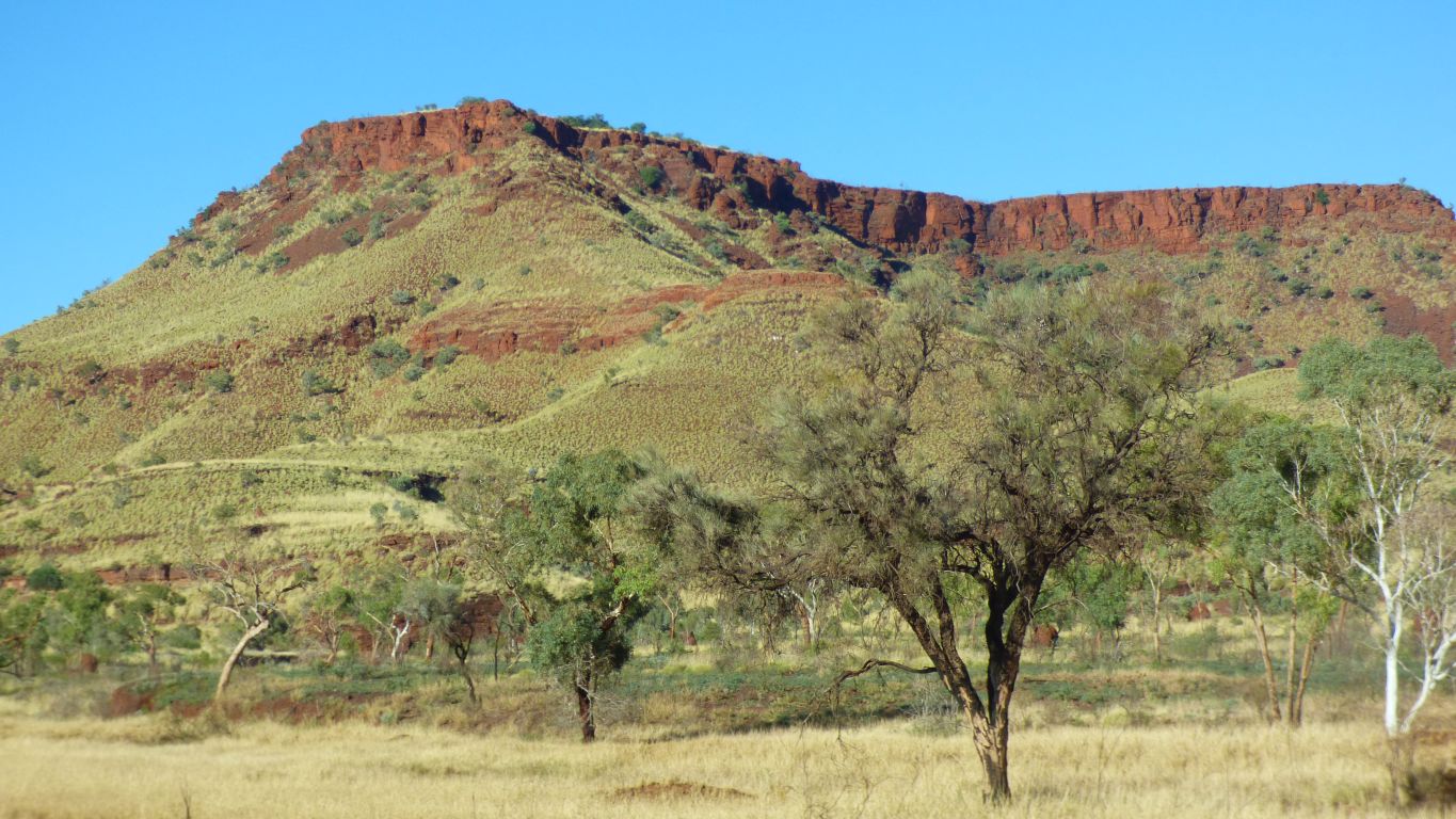
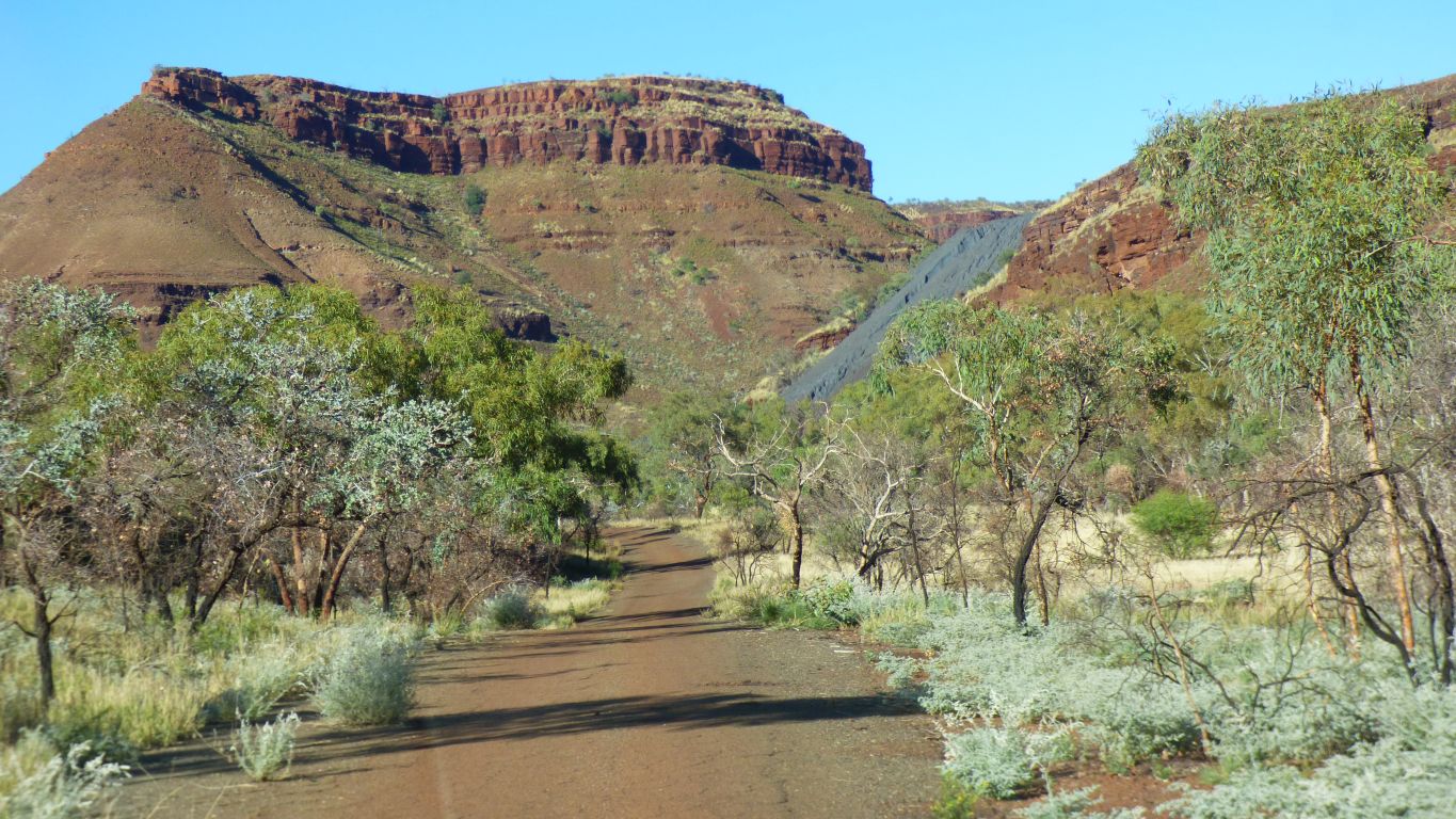
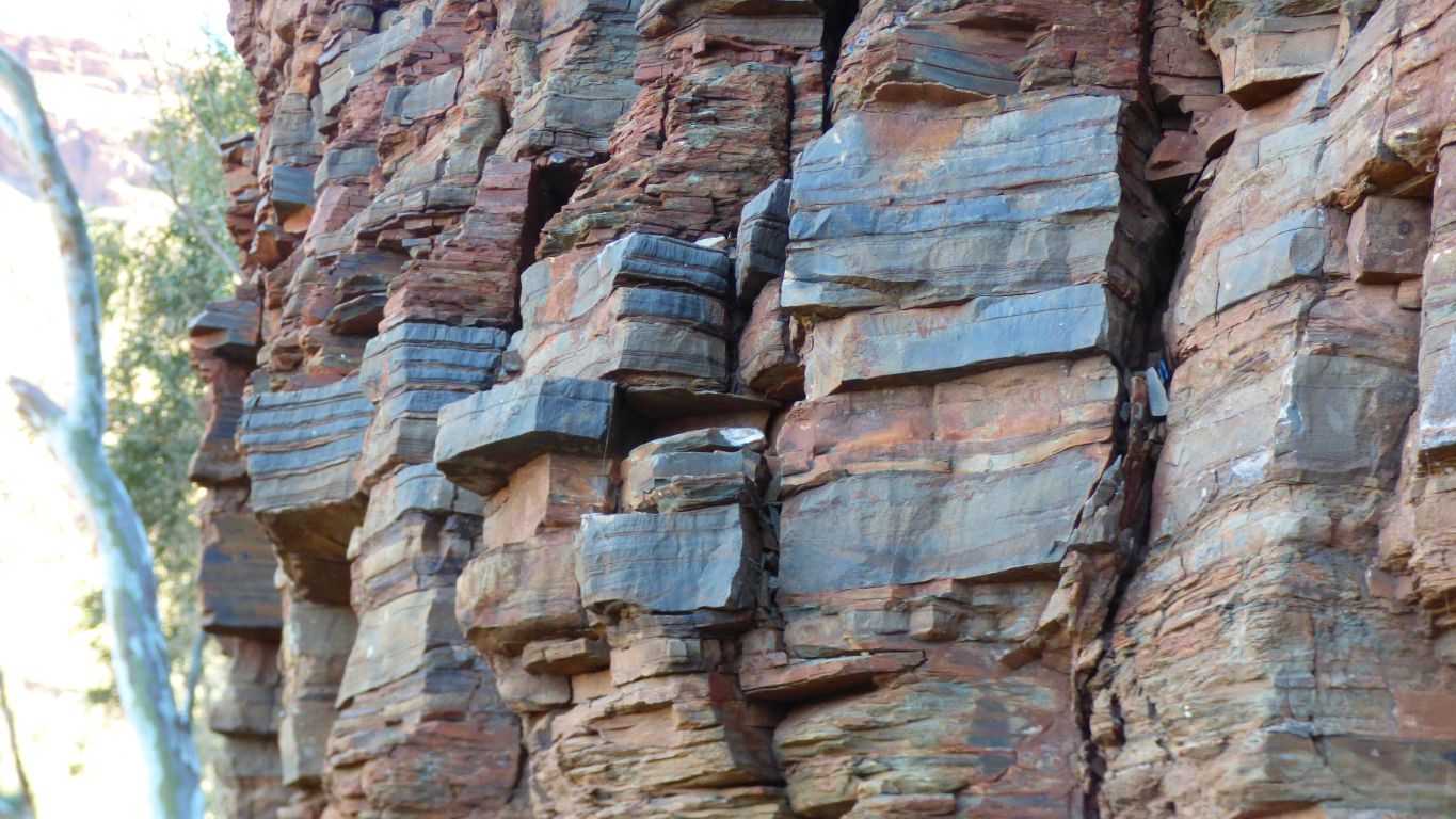
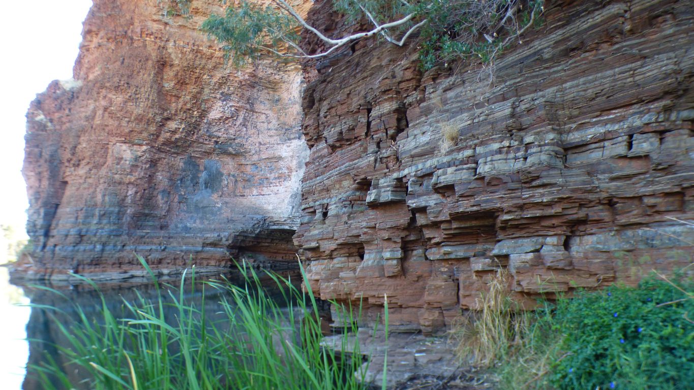
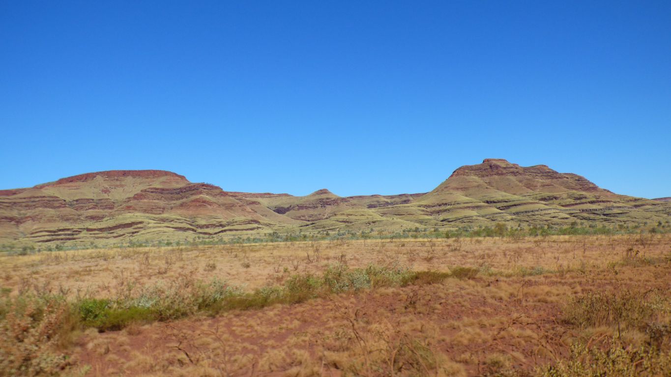
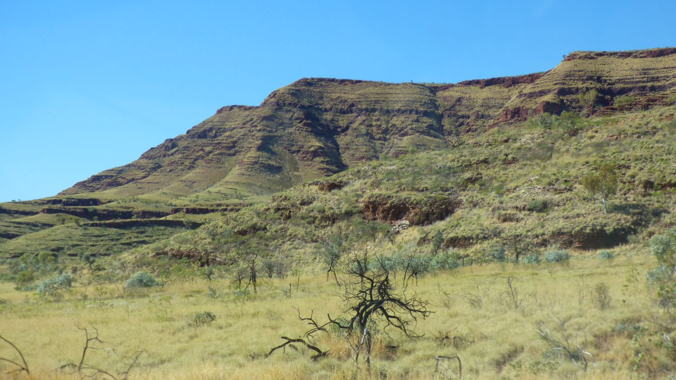
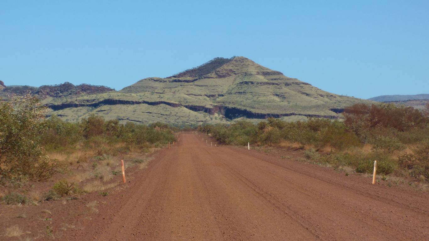
The strata are tipped up towards the north so show an edge to us.
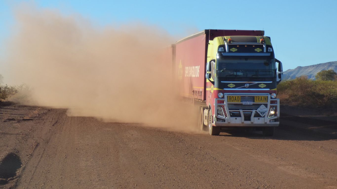
Its impossible to see through the dust.
We haven't met many and the dust cloud gave us about 5 minutes warning.
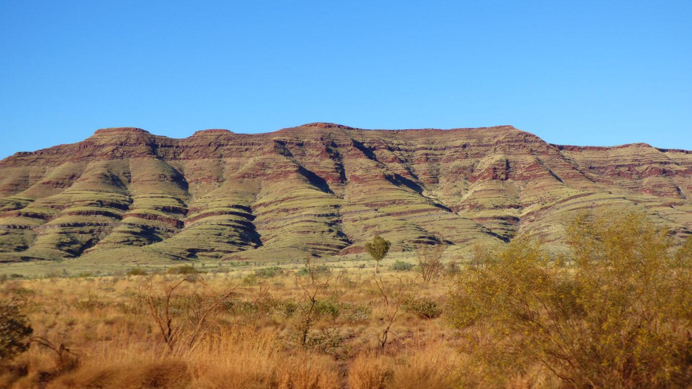
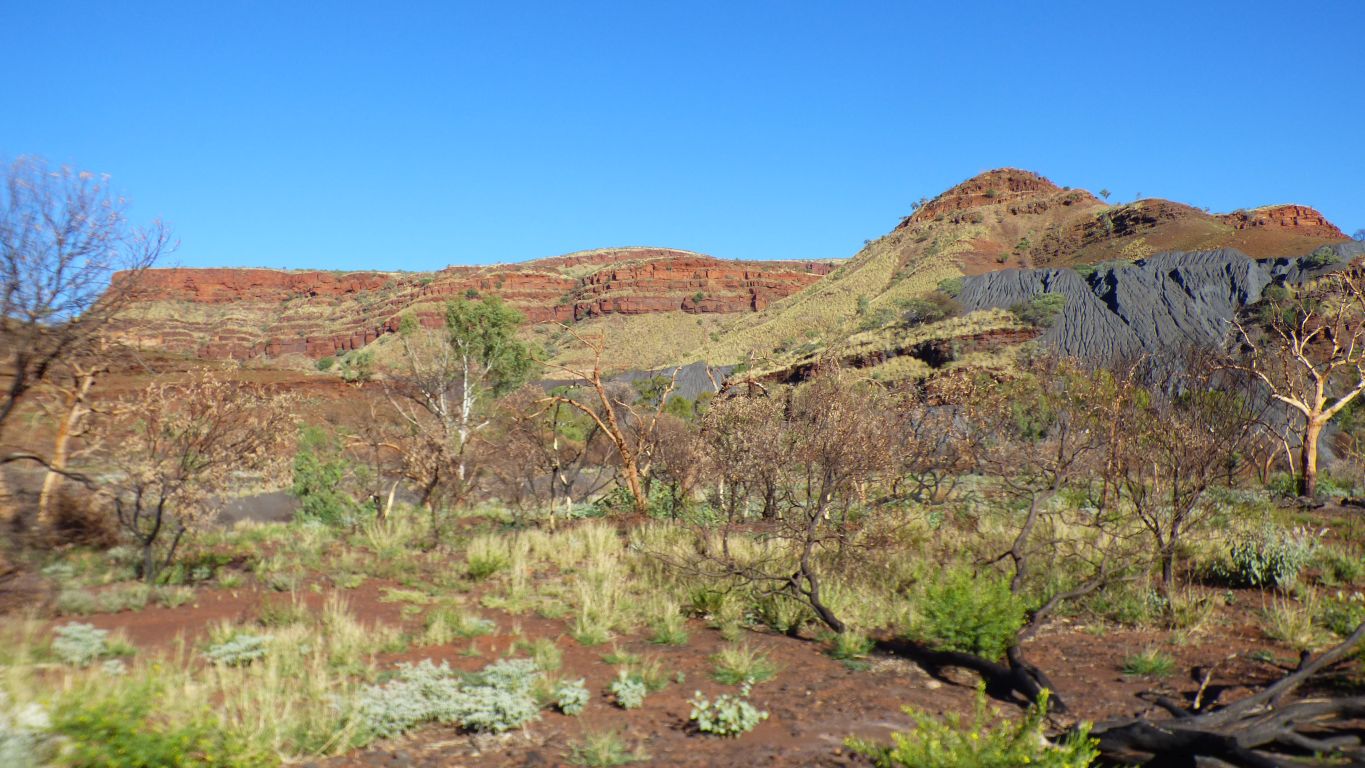
Chocolate brown in the lower strata, reddish brown towards the top. Much more noticeable to us than when in the middle of the gorges.
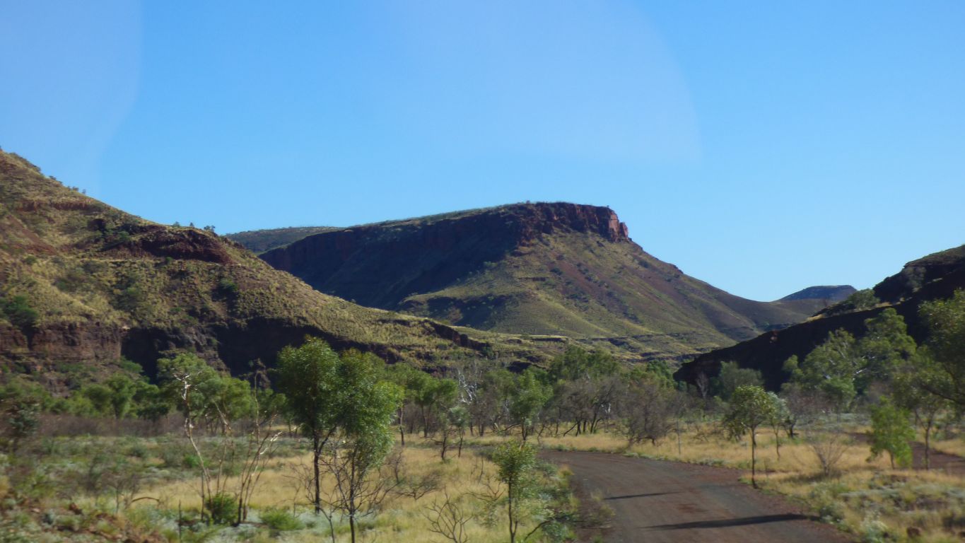
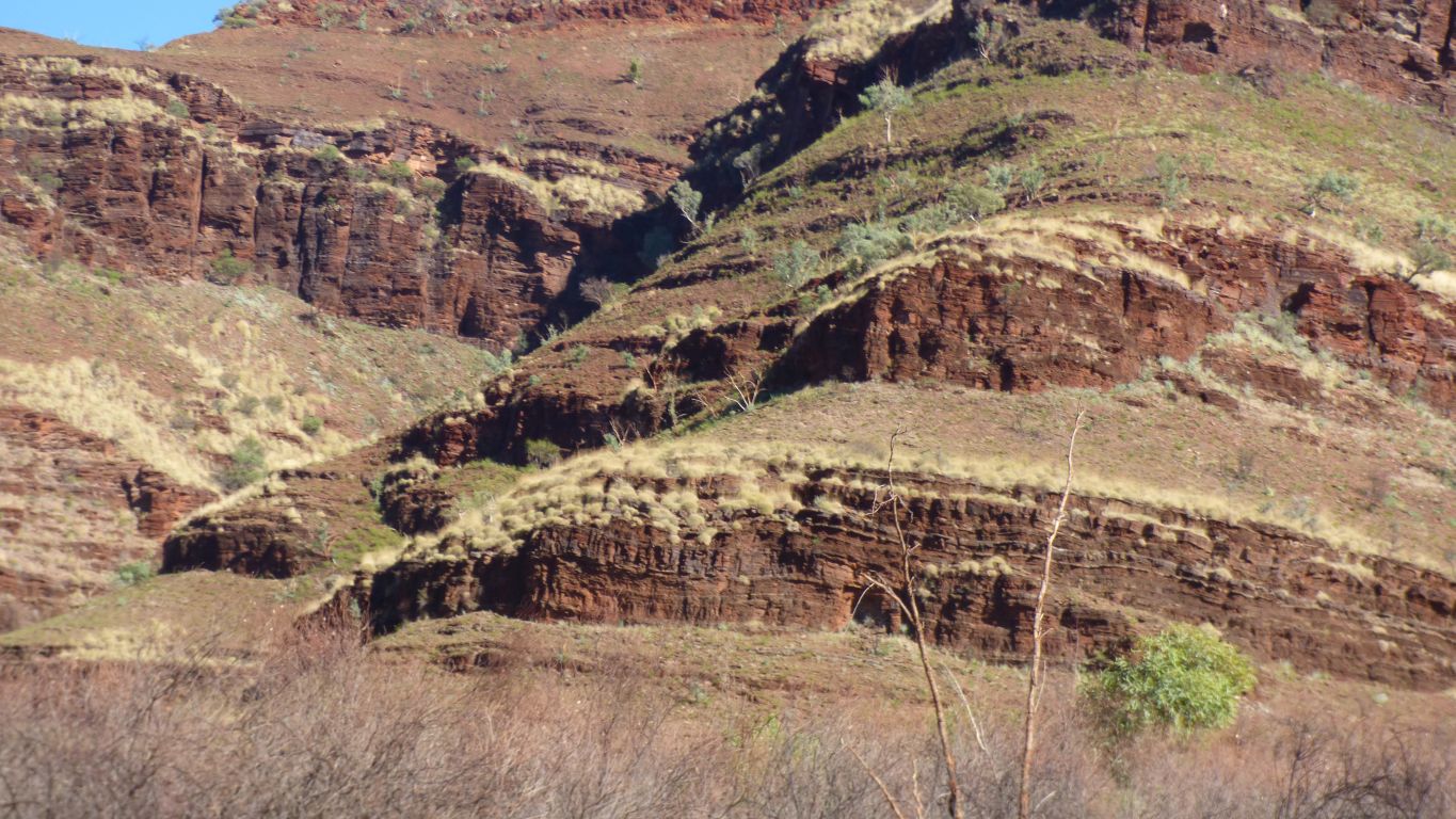
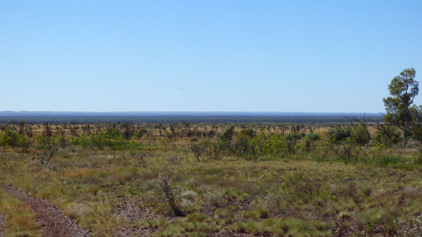
The spinifex varies from yellow to green in different places.
There are no trees on the mountain sides.
Which makes it all very distinctive.
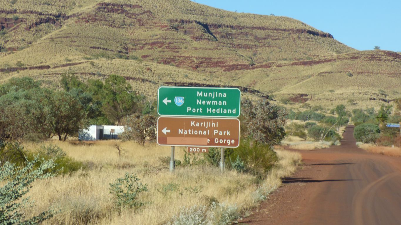
The missing gorge is Yampire Gorge.
The road through the gorge has been closed.
I'd read that it was closed so no surprise this time.
In 1978 its how I reached the gorges that were accessible.
Wittenoom and its gorge are not part of the park. A neat rectangle round an area disowned except for asbestos warning signs.
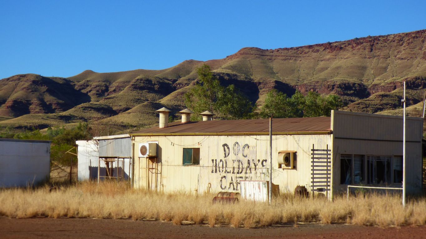
Of course I can't recall the details but in 1978 Tim and I camped in Wittenoom.
An asbestos mining town that was closed in the early 1970's.
There were still a few remaining people living in the town in 1978. It looks almost deserted now, and certainly no amenities. Lots of posts but all the signs removed. Less than a handful of buildings.
Free camping has moved into the gorge.
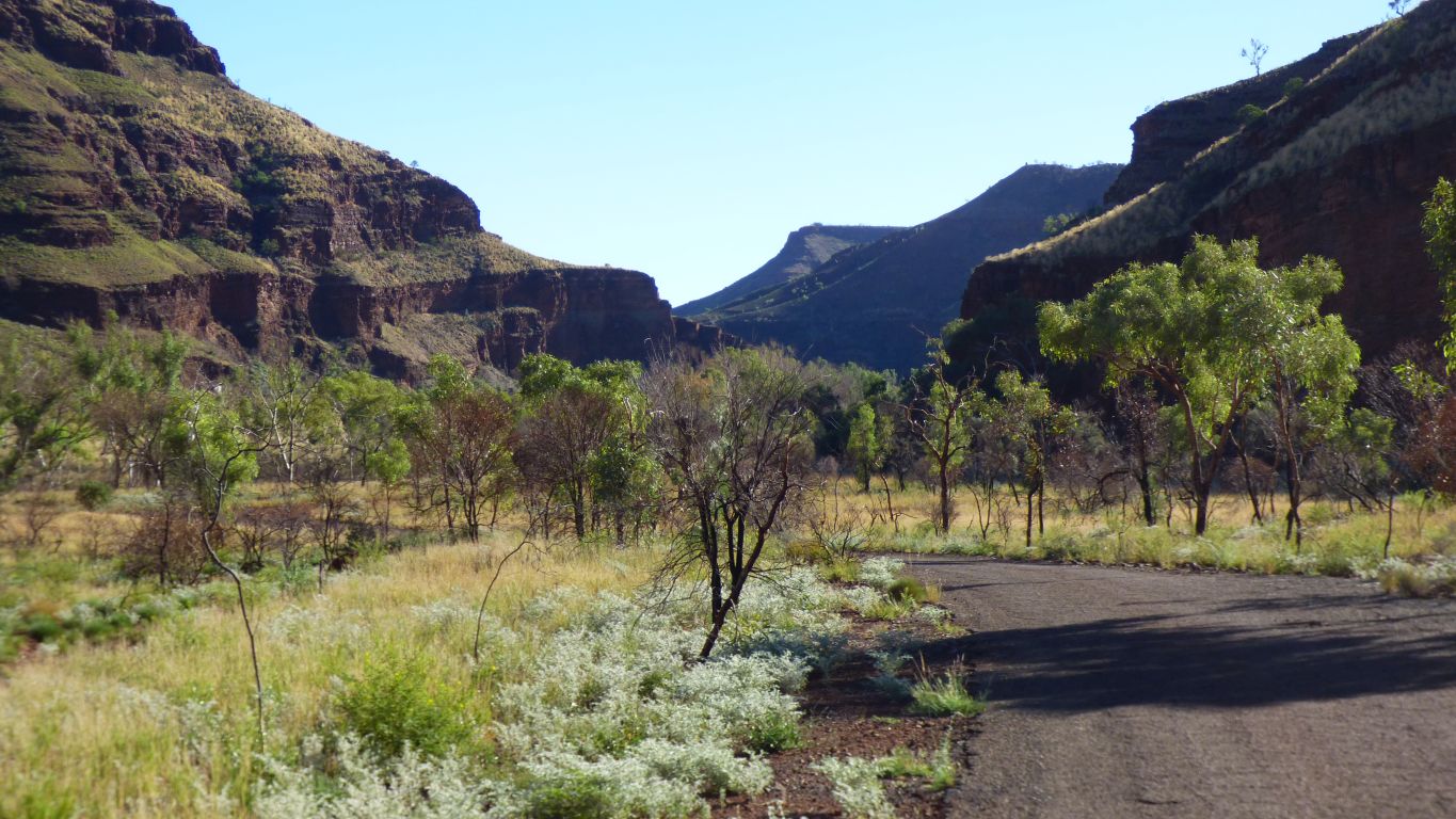
Hancock Gorge joins Joffre Gorge which then joins Weano
Gorge to flow into Red Gorge.
Shortly after Red Gorge joins Knox Gorge to flow into Wittenoom Gorge.
Wittenoom Gorge flows north. This is the wide exit onto the plain.
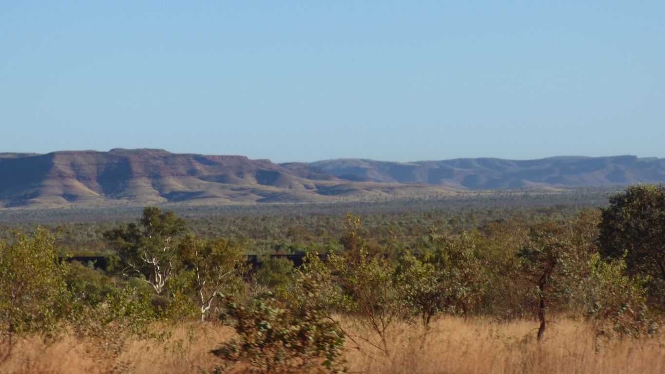
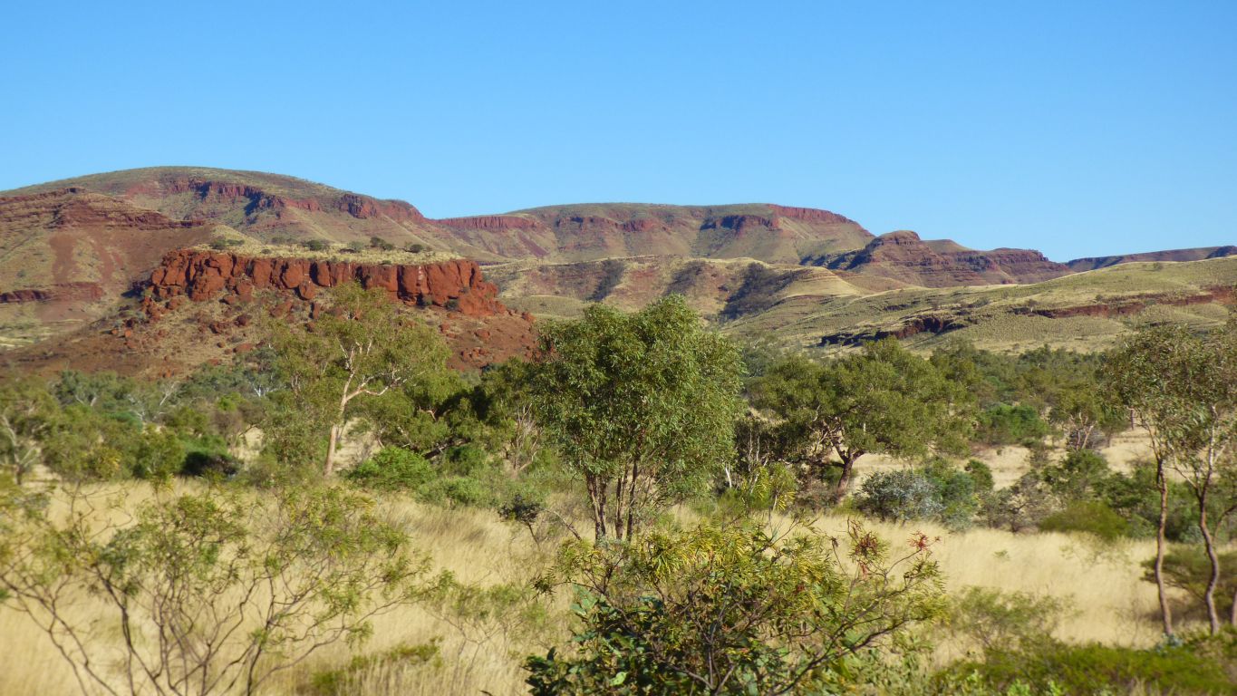
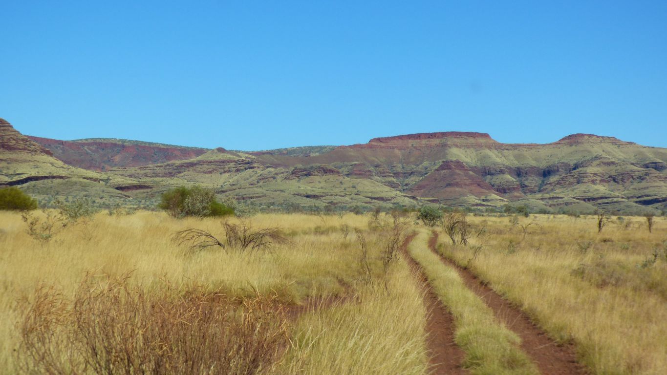
Still those browns and reds and greens and yellows.
There is a road to the east which used to provide a way to Weano Road. Even in 1978 it was a difficult road which we didn't take.
The mine used to supply most of Australia's blue asbestos.
Not a good place to explore.
Not inclined to walk further. We've driven about 10 km from the main road, it would be a bit more than 5km walk to the junction with Knox Gorge.
This is as close as we intend to get to asbestos.
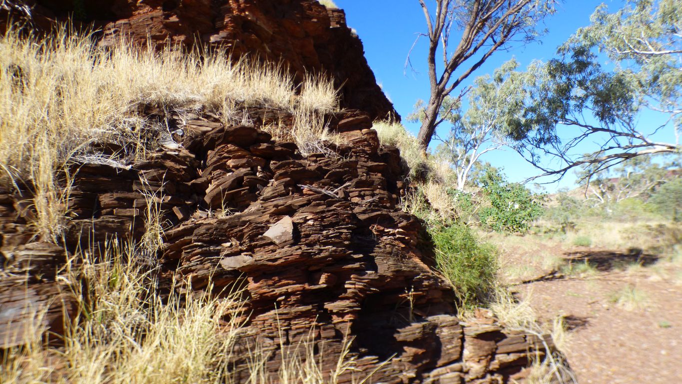
Look closely and the vague shape of vertical fibres can be seen.
In 1978 I managed to find some that was more exposed and very obvious. But not this time.
A moment to lament the loss of a landscape. Though plants and birds seem to be thriving.
There are a few nice campsites and pools in this part of the gorge.
Somewhere in front of us is the entrance to Bee Gorge.
Both Bee and Range Gorge (further west) have vehicle tracks out of the sides which originally connected with the Wittenoom Gorge road to join Weano Road which we used inside the national park to reach Weano Gorge.
Our 1:250,000 map has a maze of tracks between us and the roads in the park.
When there we saw no evidence on the Weano Road of a track north and suspect it would be overgrown or hidden or simply closed long ago.
Until a few weeks ago I thought sedimentary rocks were created simply by sediment eroded from rocks, washed along in water or wind, and deposited to form new rock.
Then I learned that the banded iron formation had microbial assistance to precipitate rock from chemicals dissolved in water. The difference between limestone and dolomite always confused me, although I know the chemical difference. I think I know that limestone is predominantly lots of old shells. I've now seen dolomite that was deposited with microbial assistance, a result of investigating stromatolites. Shale, as deposited here, had microbial assistance, though I doubt that is true for all shales.
The chemistry of the water, temperature, and depth, all contribute to different outcomes.
I'm reminded of velvet wherever I look.
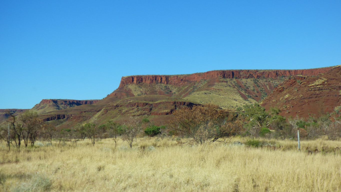
Between us and the coast is the Chichester Range which runs parallel to the Hamersley Range but is not as extensive.
The high points in the Chichester Range are between 300 and 400m.
There are probably too many of them, or the people that believe mountains should have names don't have enough names to go round.

Very cautiously.
Missed a beat here. We expected a cross roads. A way over the rail line. On the map the continuation of Hamersley Road is Mount Brockman Road. Straight on.
Maybe the junction changed a bit when the second line was built. There are two tracks for this section.
The Mount Brockman road is an east west road that separates mountains to the north where creeks flow north into the Fortescue River and creeks that flow south and west through Duck Creek into the Ashburton River.
We chose right, to the north, as that is the way to Millstream. We passed a heavily gated crossing after a short while that we didn't take too much notice of. And further on a similar crossing with large "closed" signs.
On a different map it looks like there's a crossing 1.6km to the south.
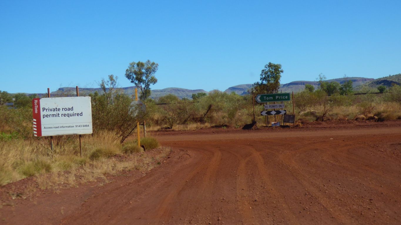
We completed the permit application on line a couple of weeks ago.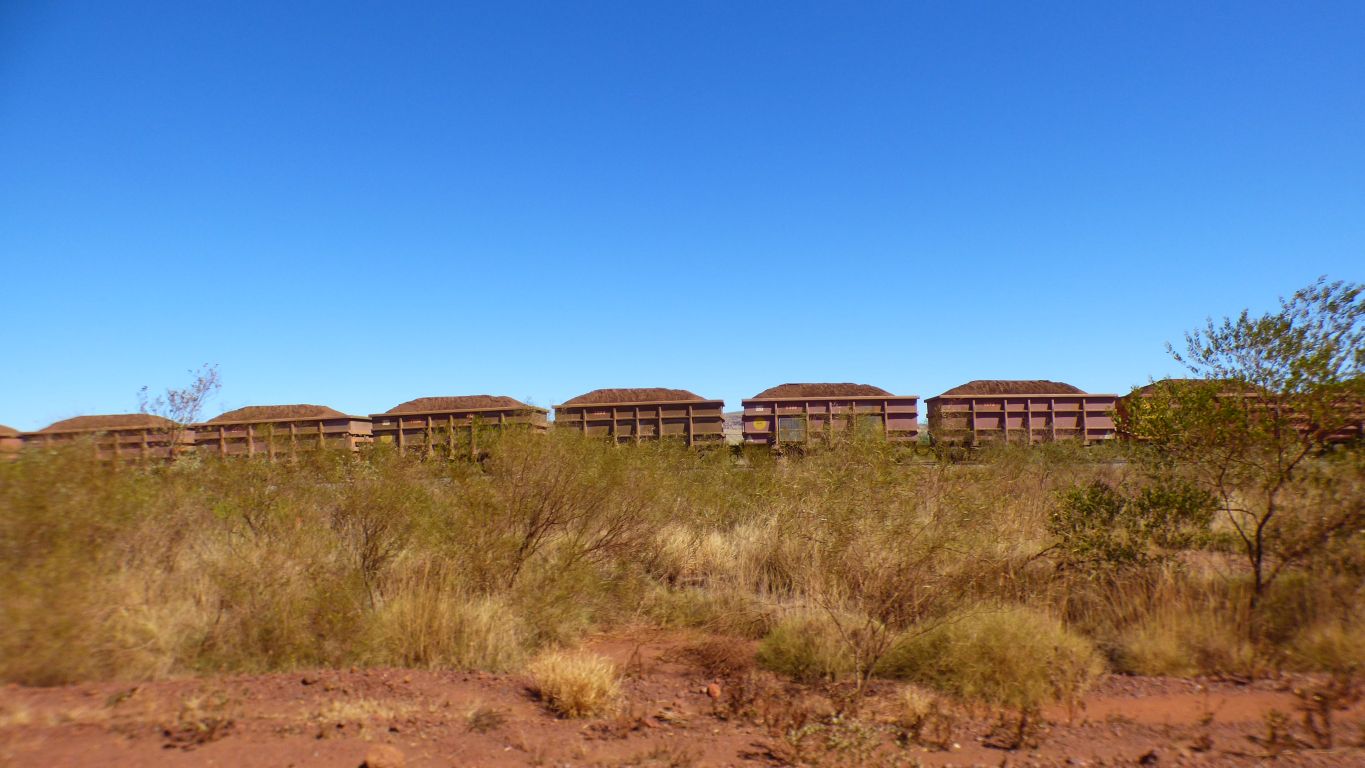
The train was travelling around 50 km/hr on this stretch but increased to 65 km/hr once on the plain.
After about a hour, and a level crossing at which the train got there first, we overtook it.
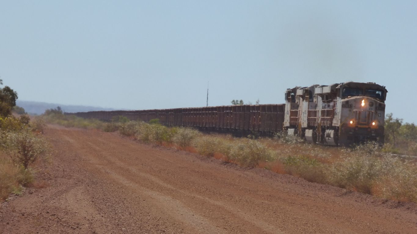
This was the fifth empty train headed south we saw.
Perhaps not surprising. There is a major rail junction about 20km south of where we met the line. At Rosella Siding. West to Brockman Mine, south to Tom Price, or east to Marandoo and a long way beyond (the line we crossed on the way to Mt Meharry) to Yandicoogina or West Angelas mines.
To our north is a junction allowing trains to either of the ports at Dampier or Wickham (Cape Lambert). The world's longest privately owned railway.
The train drivers amused themselves by blowing their hooters if we waved enough.
A bit of a surprise as we thought they may be driverless.
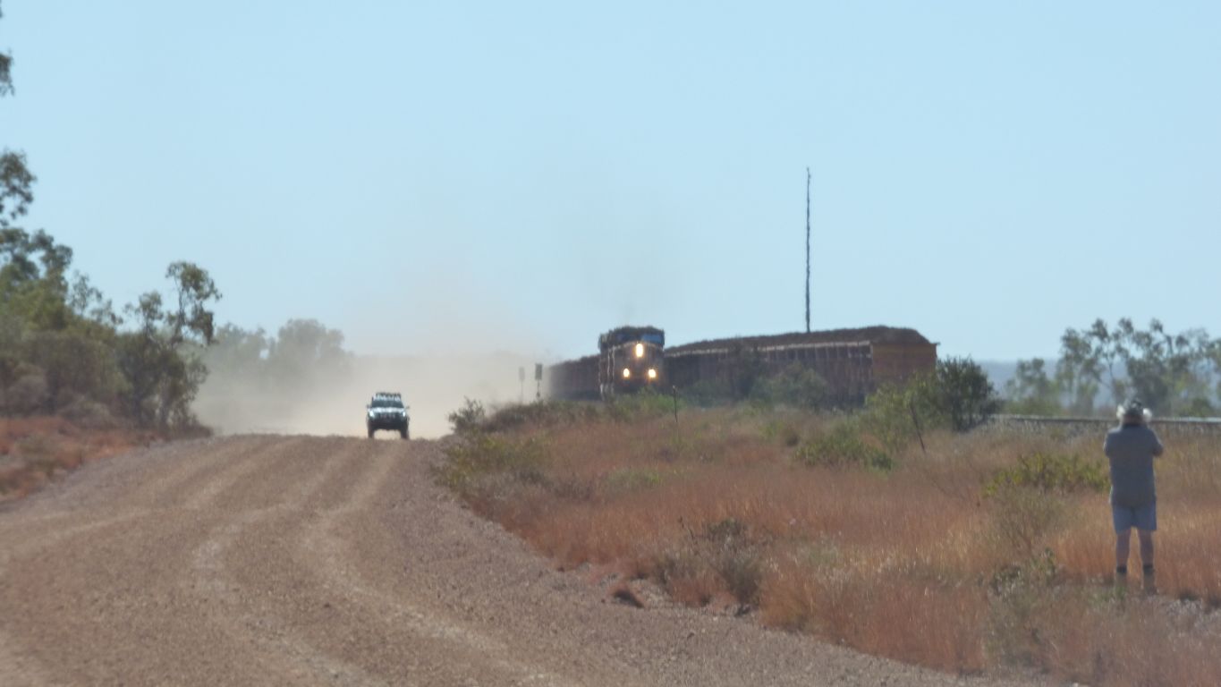
We were not alone in taking pics of trains.
Two trains at the same time was a bonus.
Not far to Millstream National Park.