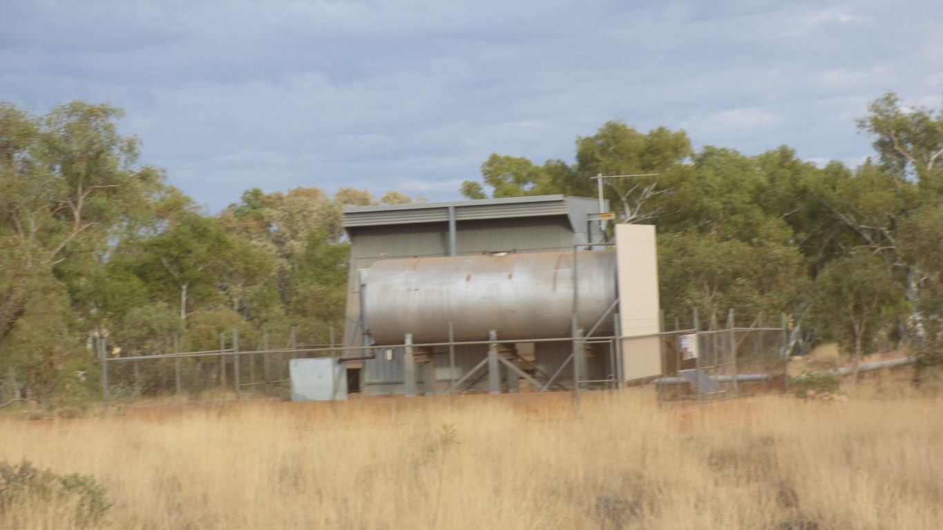
We saw three. All with large diesel tanks.
A water treatment site included. With chlorine, and an office.
The "beat" is possibly interference between diesel engines, or exhausts that resonate.
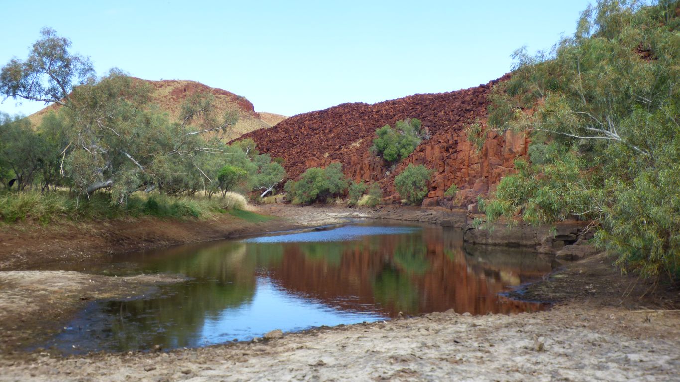
No wonder the leaseholders at Millstream sold out!
The snappy gum drive around the homestead and pools on the Fortescue is closed after storm damage.
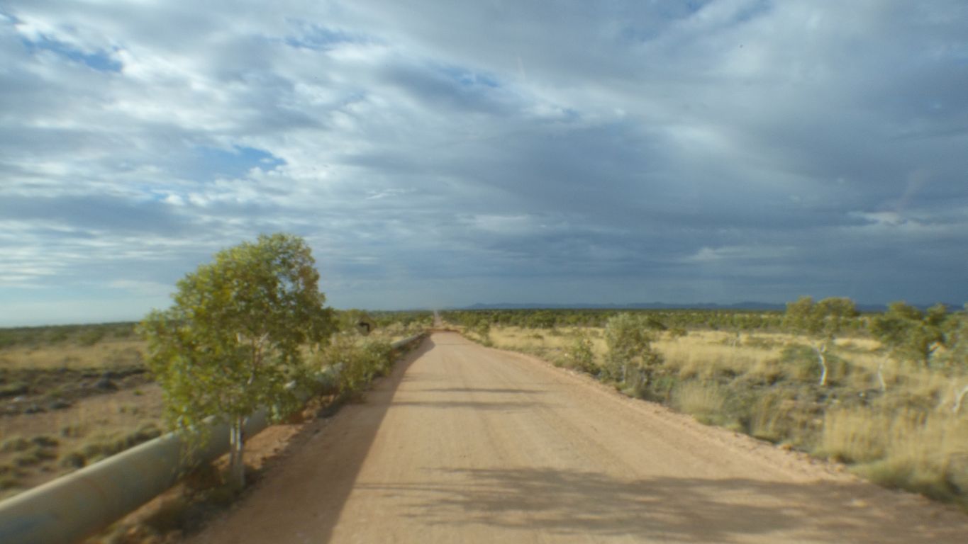
Possible thunder storms today.
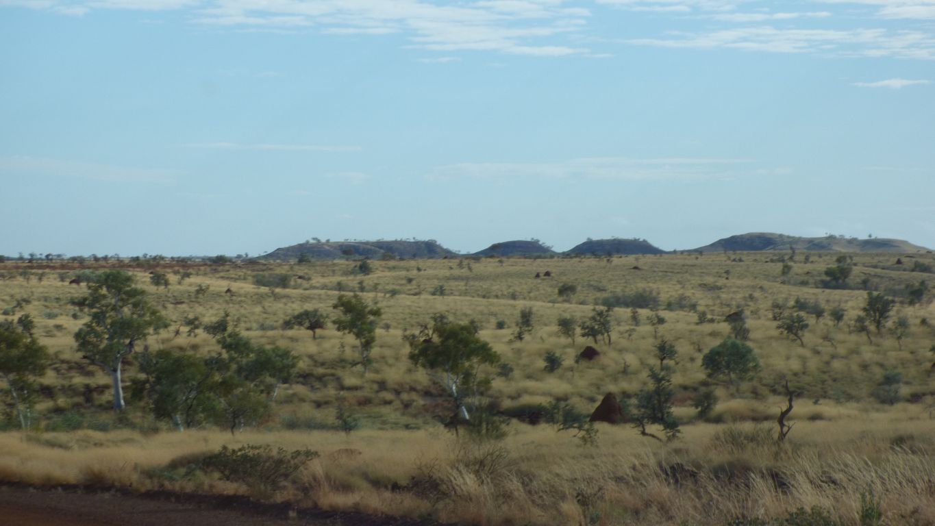
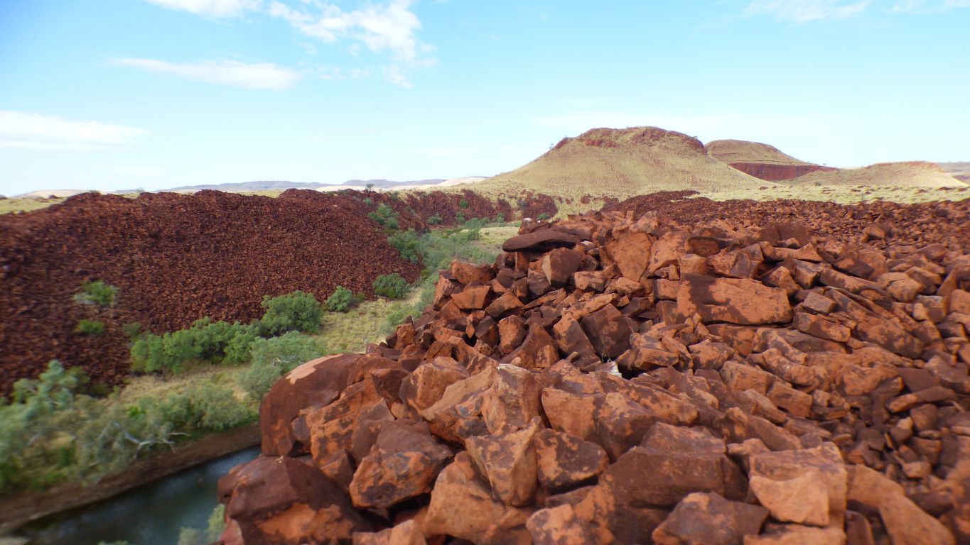
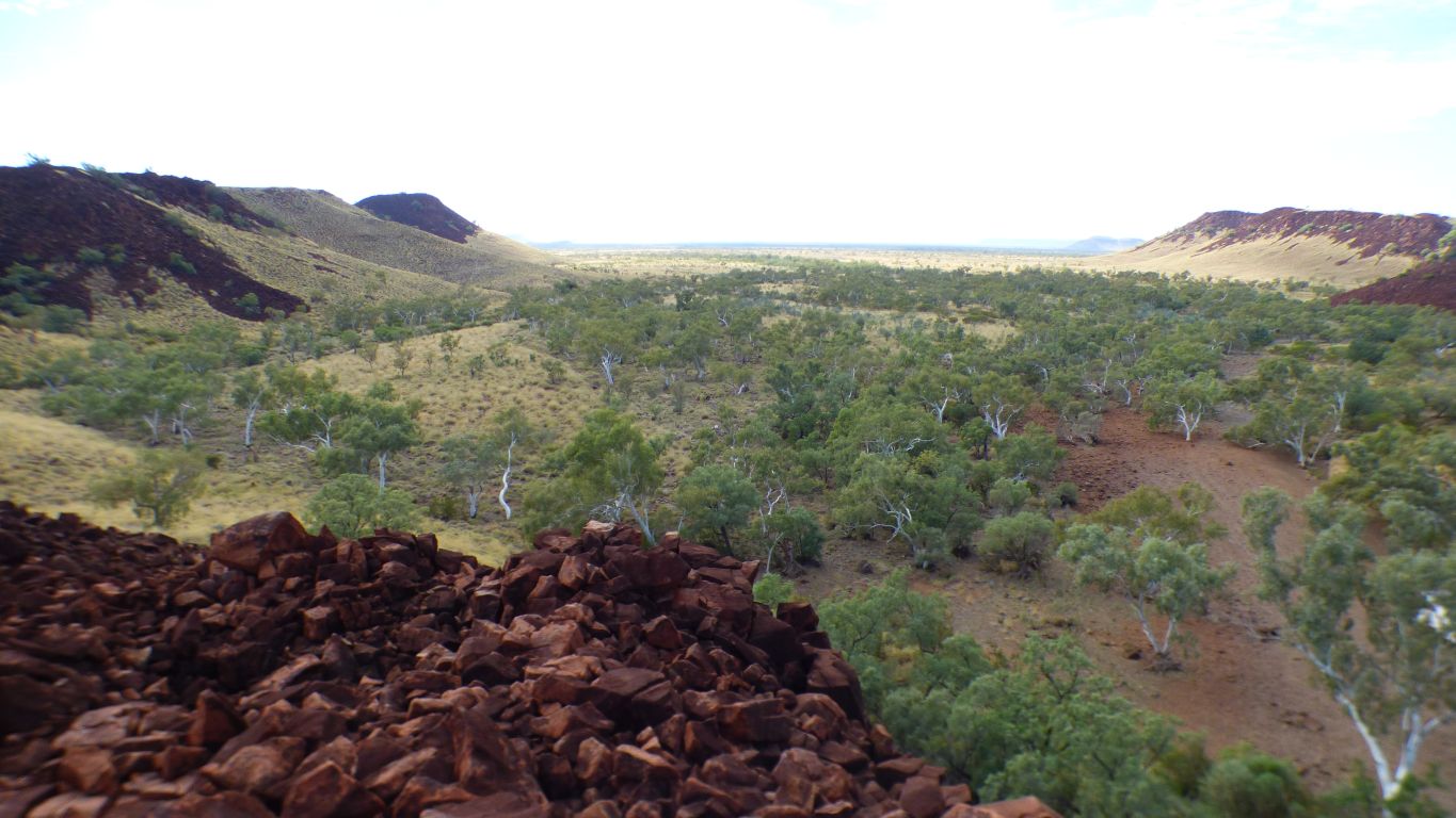
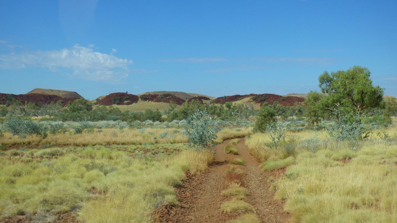
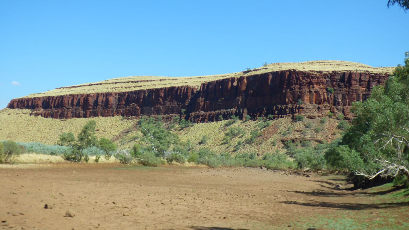
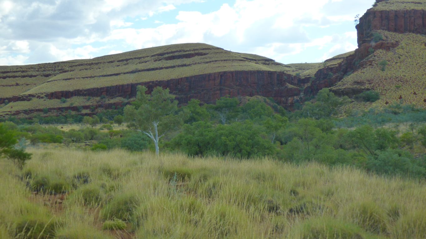
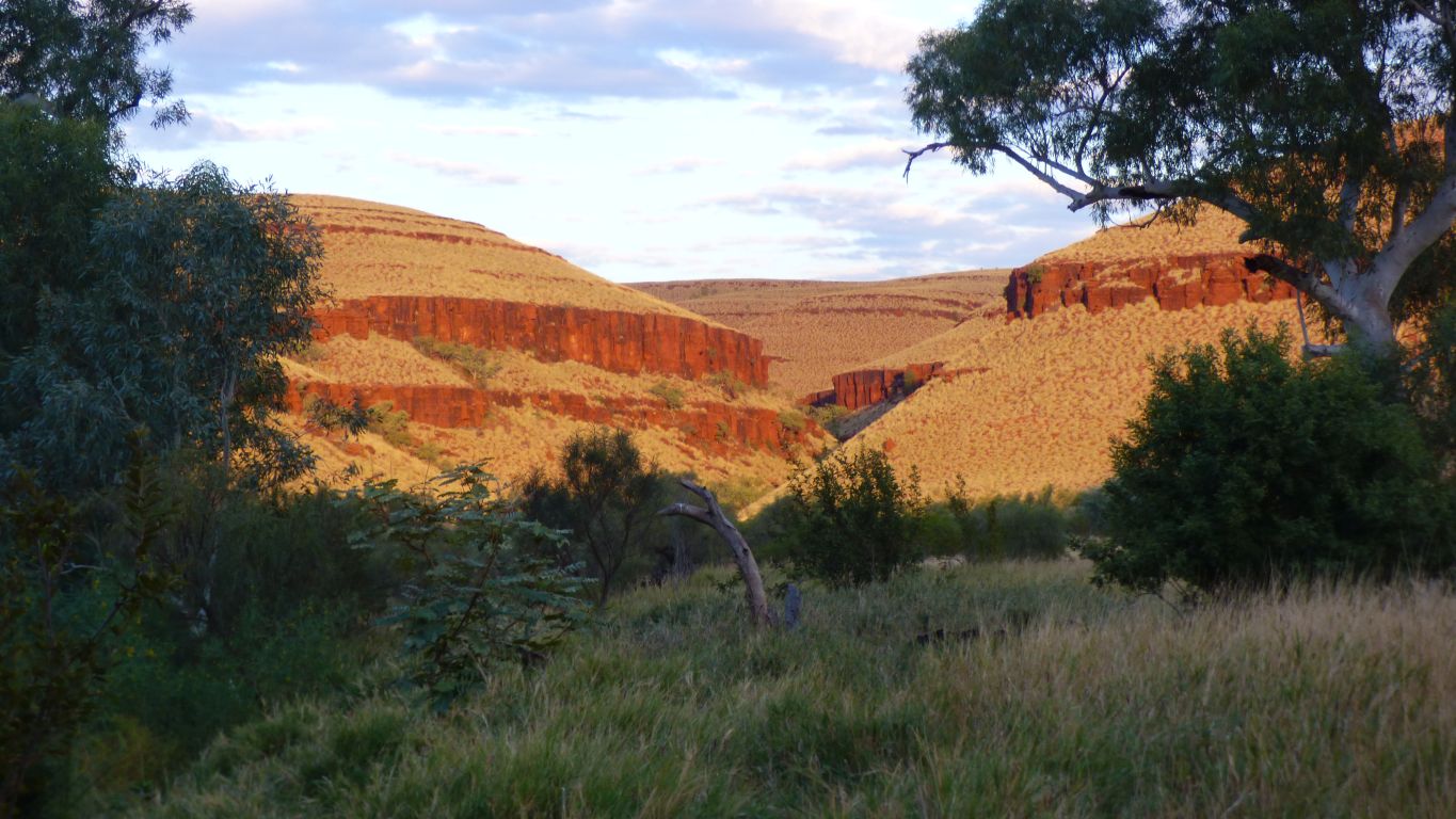
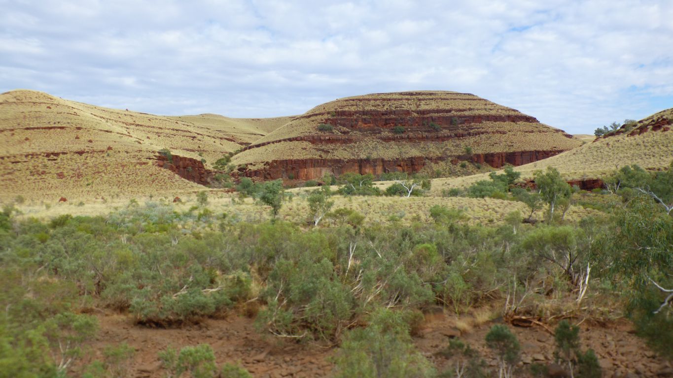
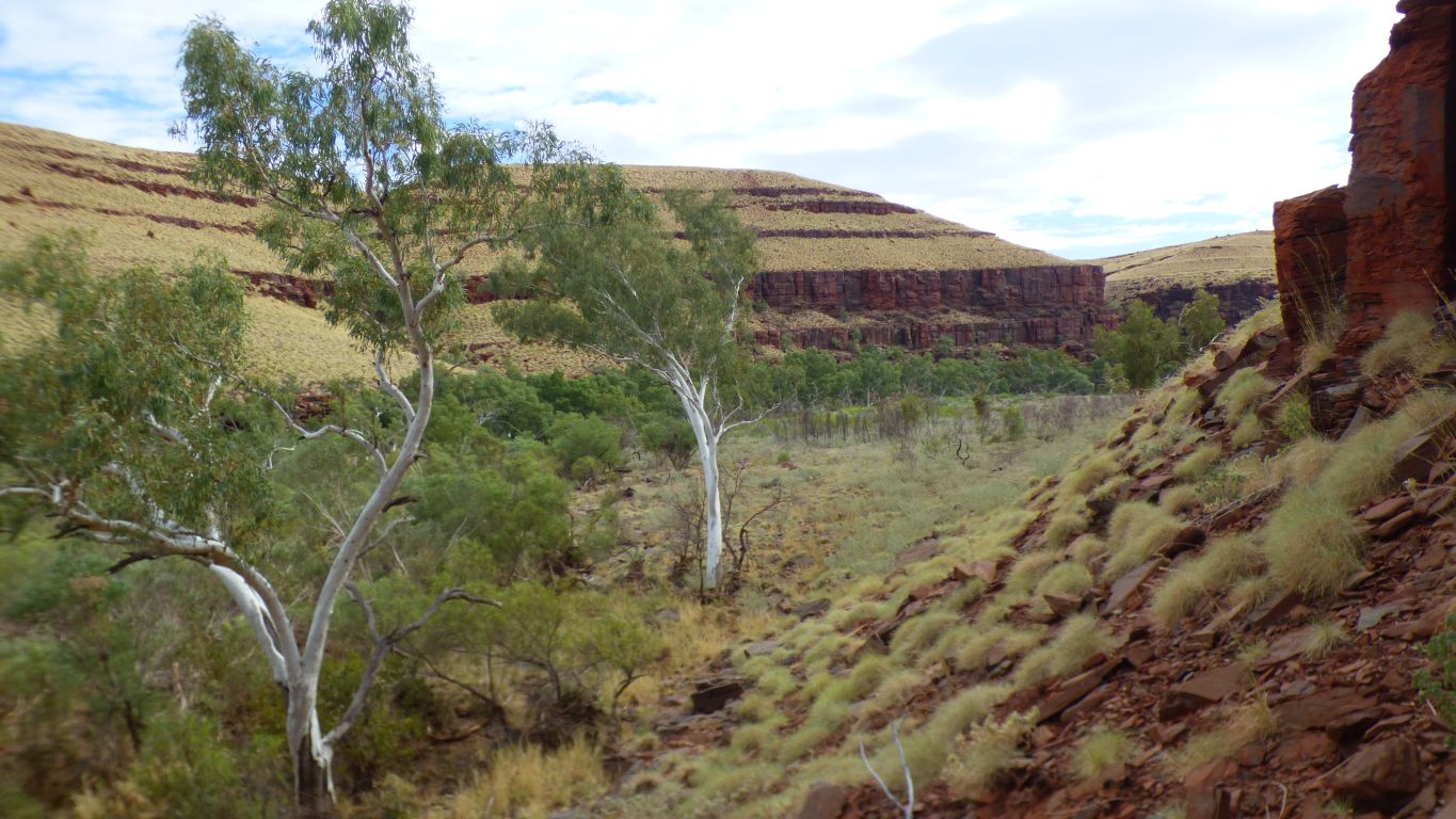
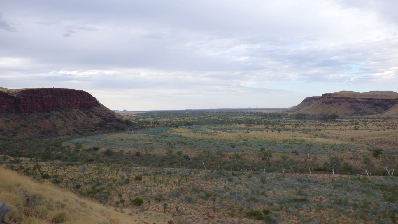
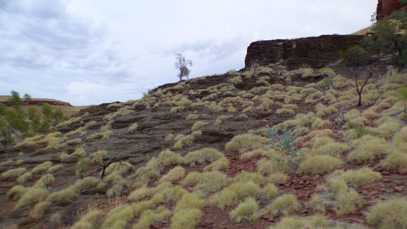
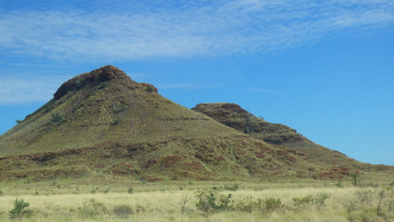
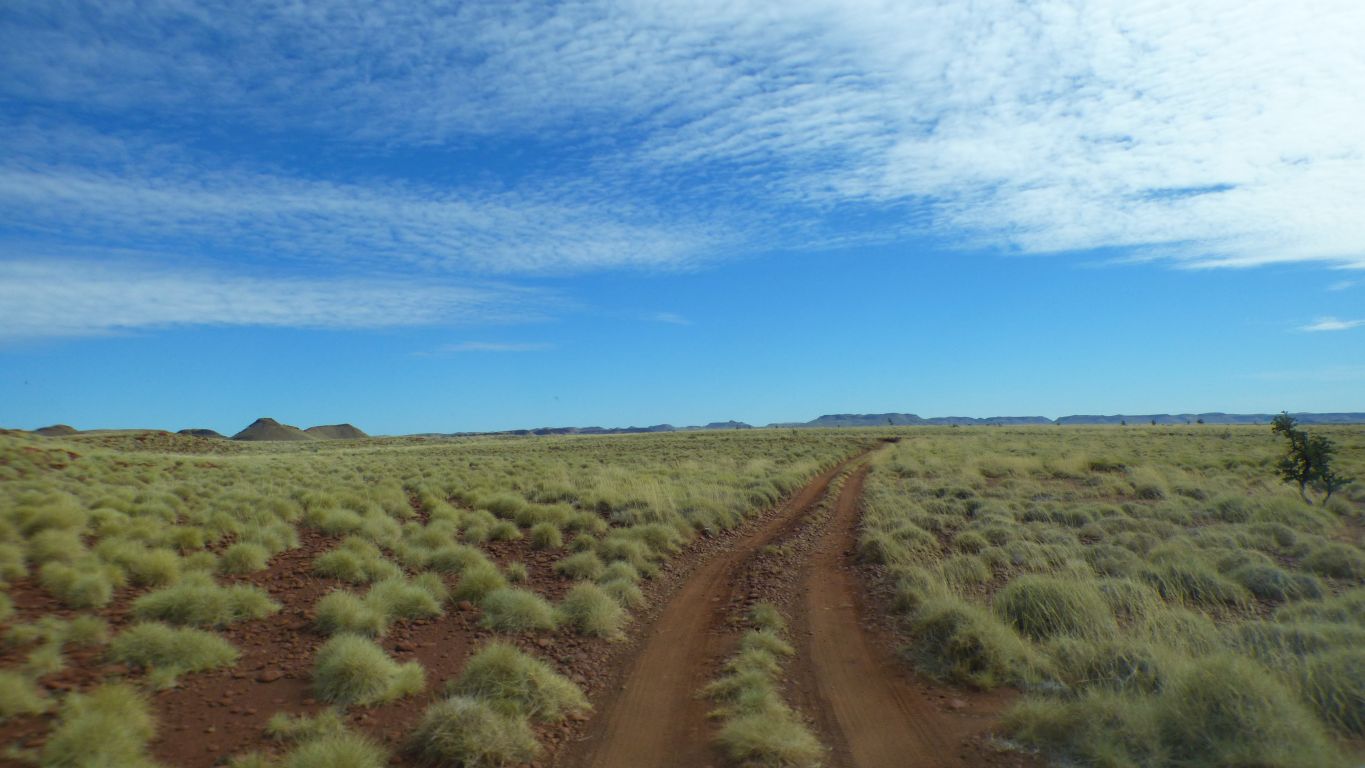
Gently rolling hills.
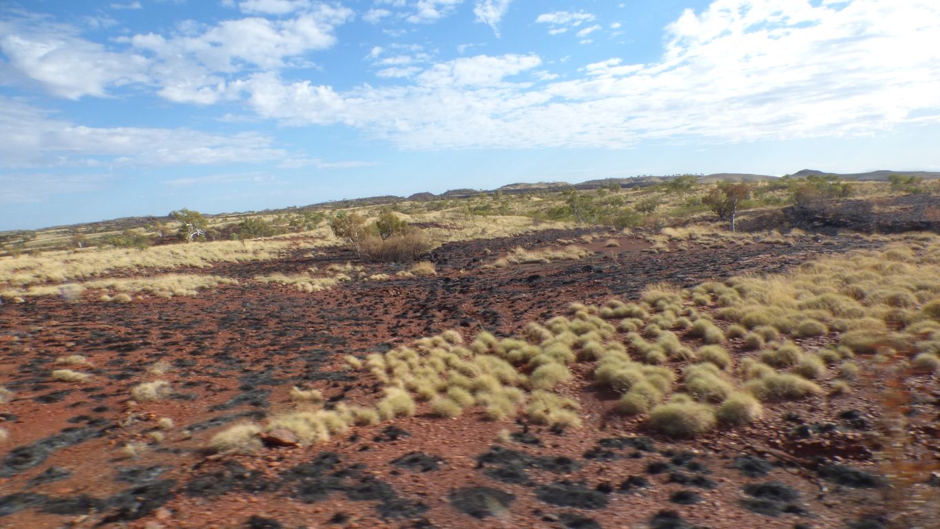
The fires didn't travel far. No sign of smoke.
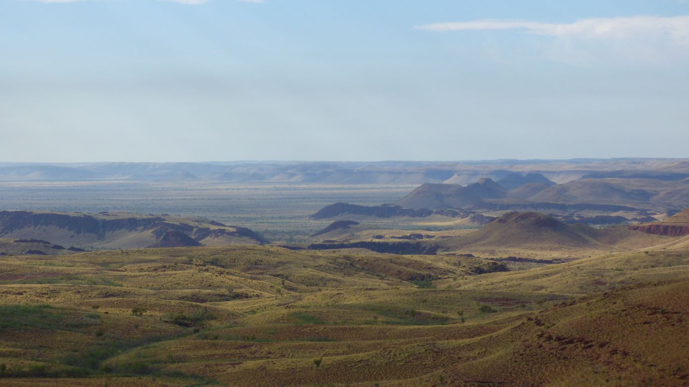
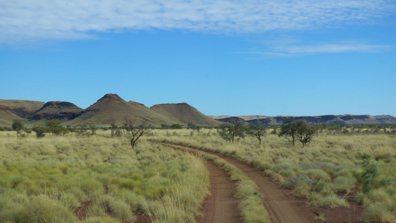
Its near the northern edge of the Chichester Range.
This is looking east.
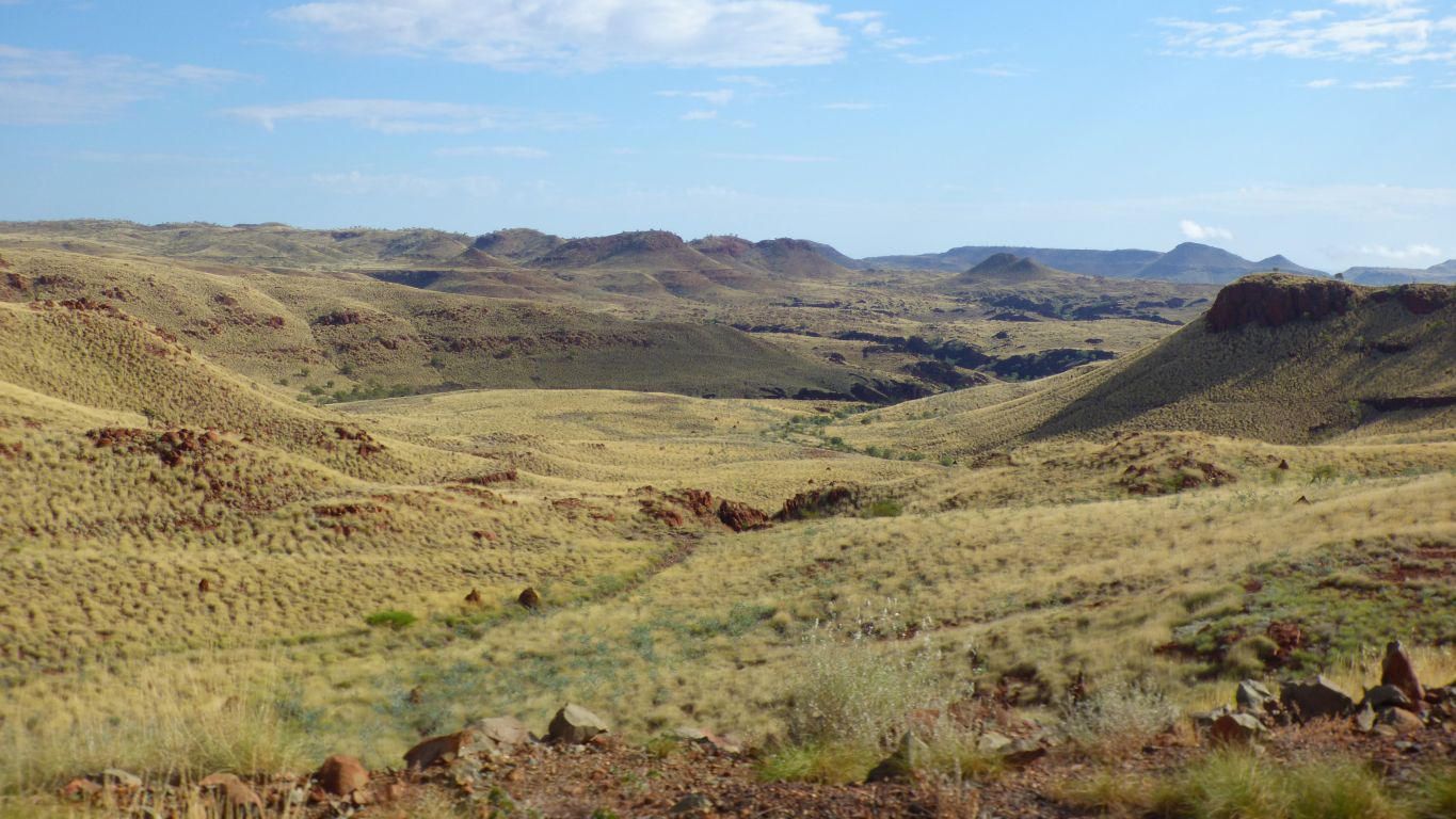
And complain that the geology isn't as easy to recognise as we thought it would be.
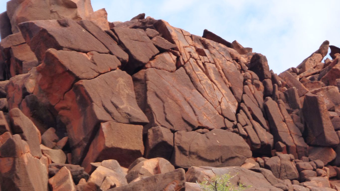
There's a couple of layers of basalt (from volcanic activity) in there somewhere, sandwiching dolomite.
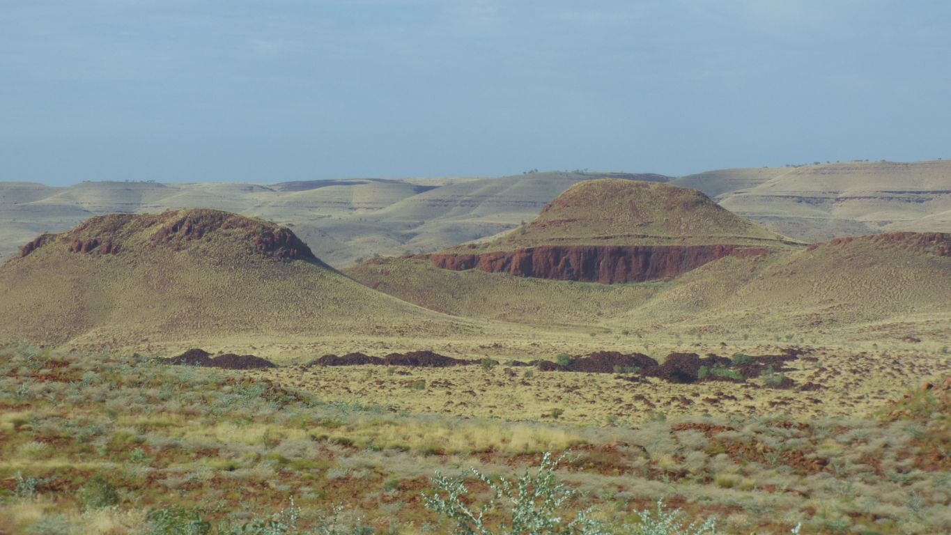
They are distinctive, and instantly recognisable.
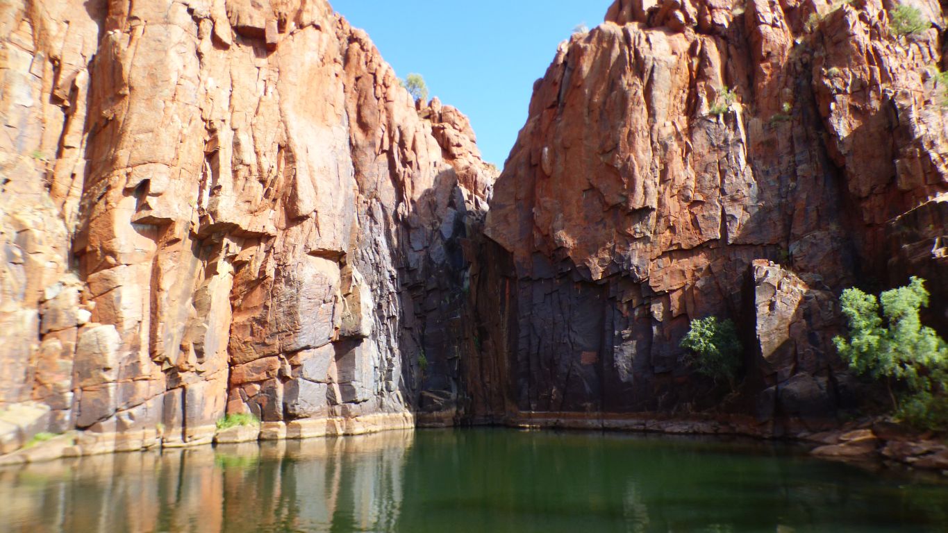
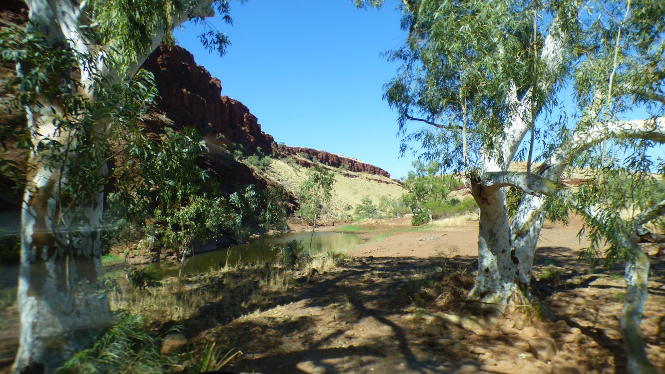
Rumour has it there are permanent pools above the waterfall - seen from a helicopter .....
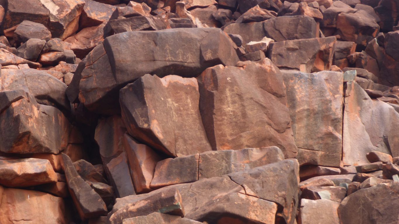
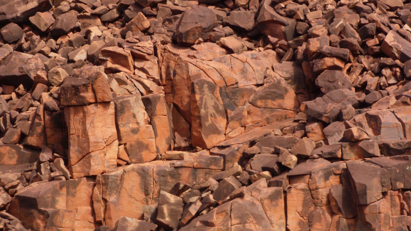
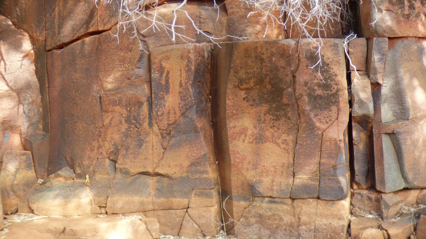
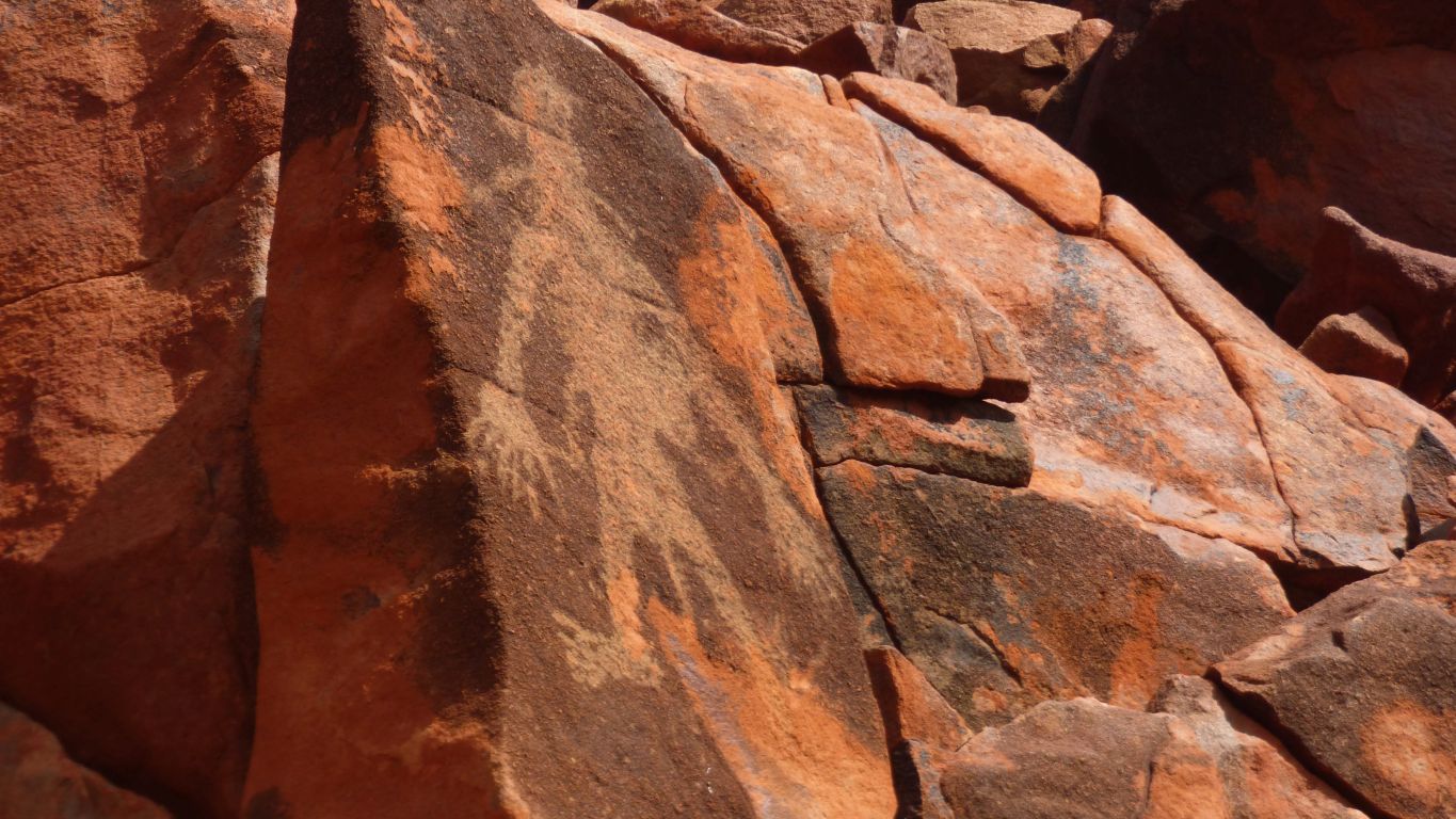
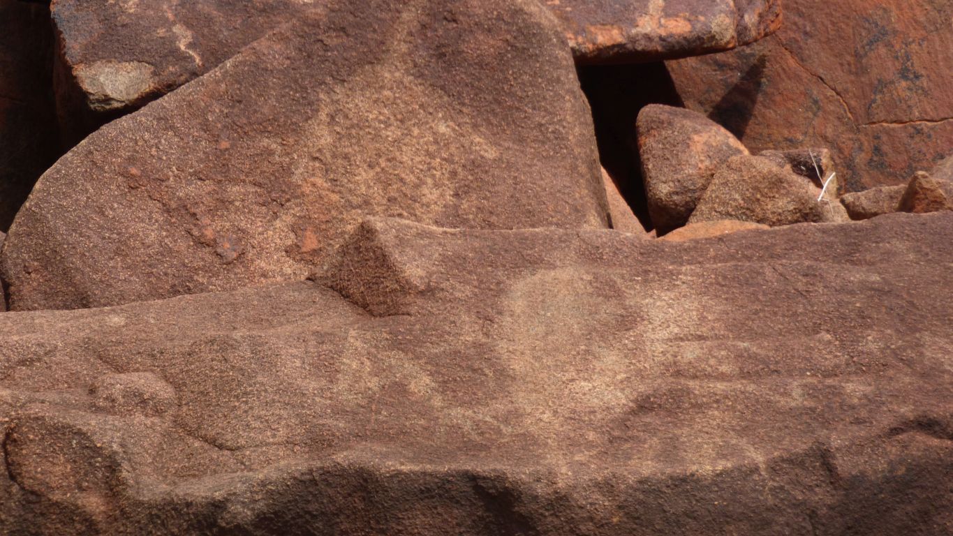
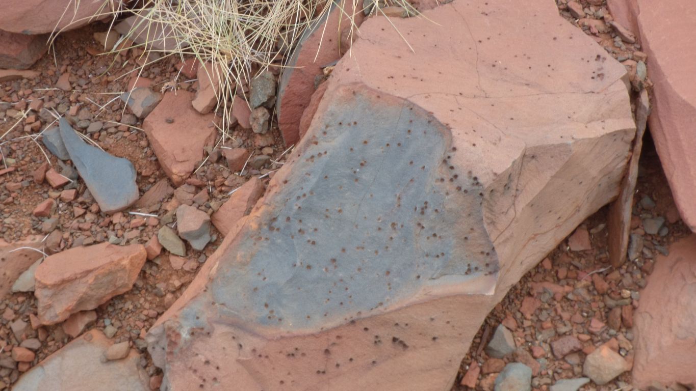
Petroglyphs.
We knew there were some near, just that they were hard to see as the rock is very broken.
There are at least 7 separate artworks in this pic.
A small sign informing us its an Aboriginal Site.
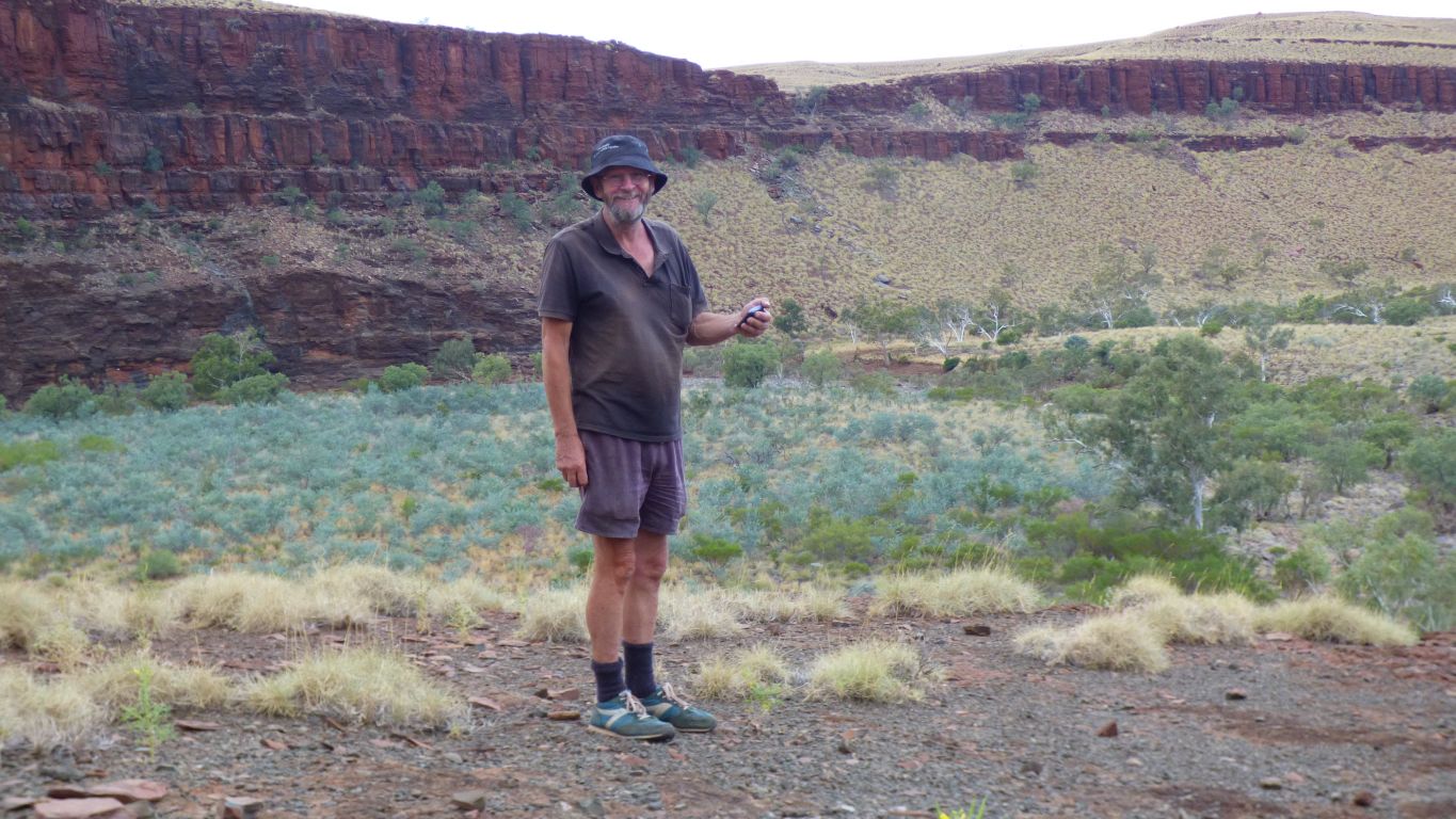
We are thinking about what sort of rock it may be.
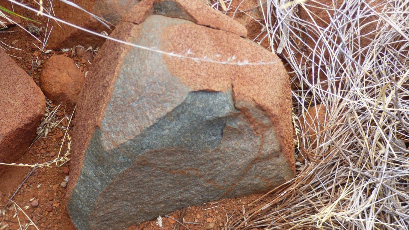
Add a tinge of green which may suggest a hint of copper.
I thought basalt was dark. But I don't expect dolomite.
Grrrrrrrr!
Encouraged we walked upstream a bit where the rock was less broken.
Very different to the "stick people" in the first pic.
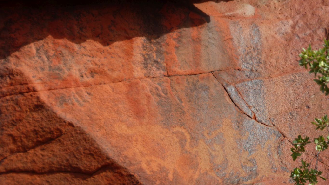
Filled in figures but not the many fingers and toes.
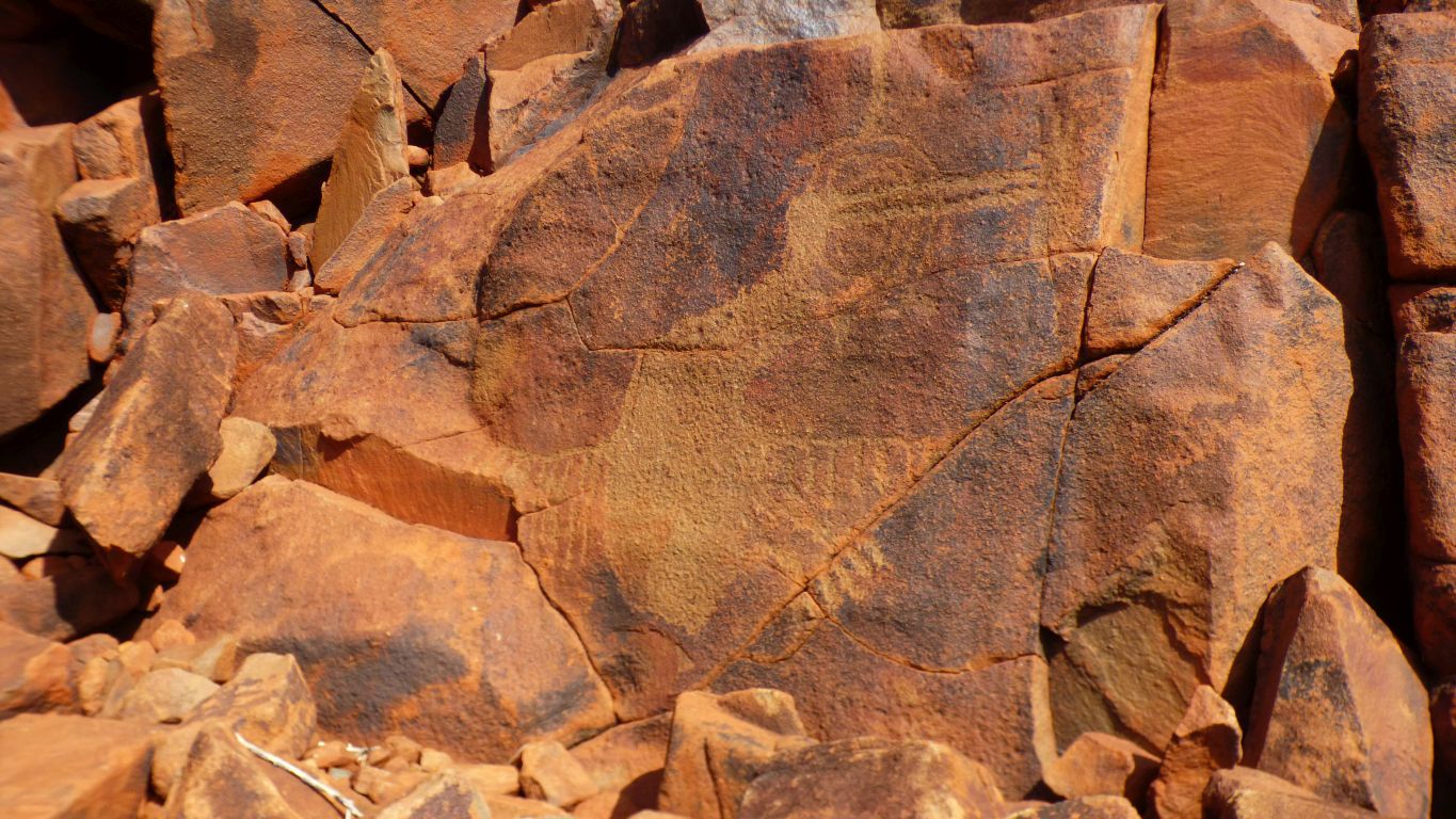
We wonder if its a bird.
Each petroglyph site we've visited challenges us in different ways.
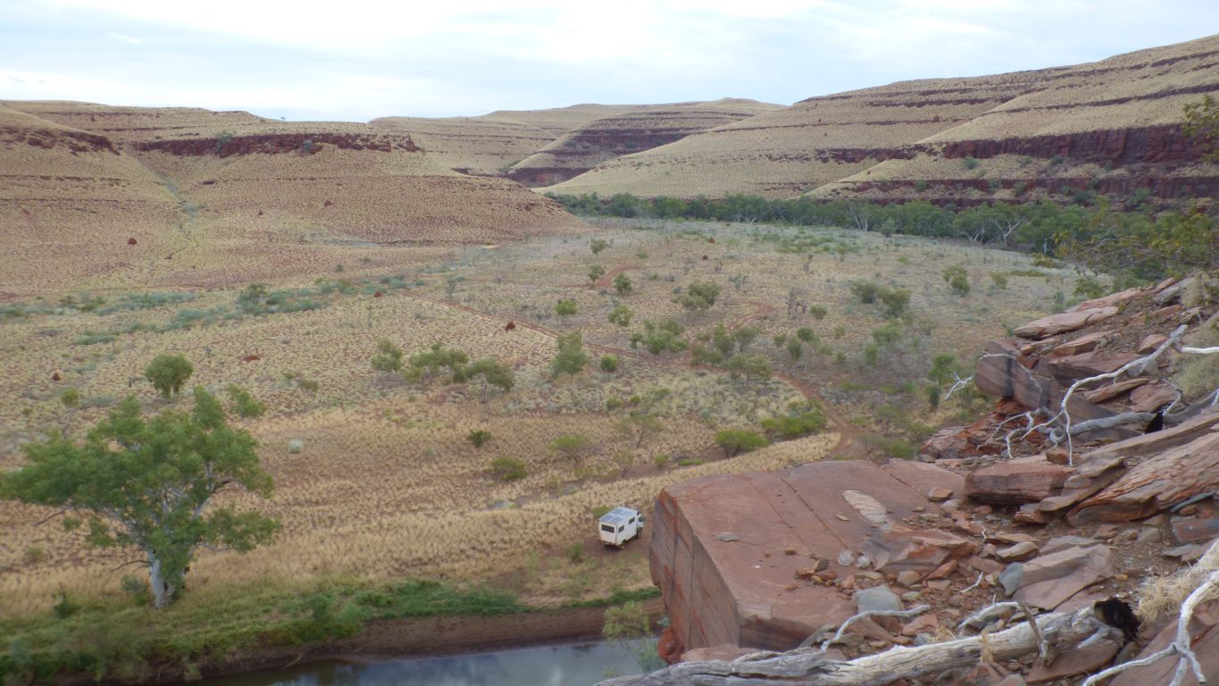
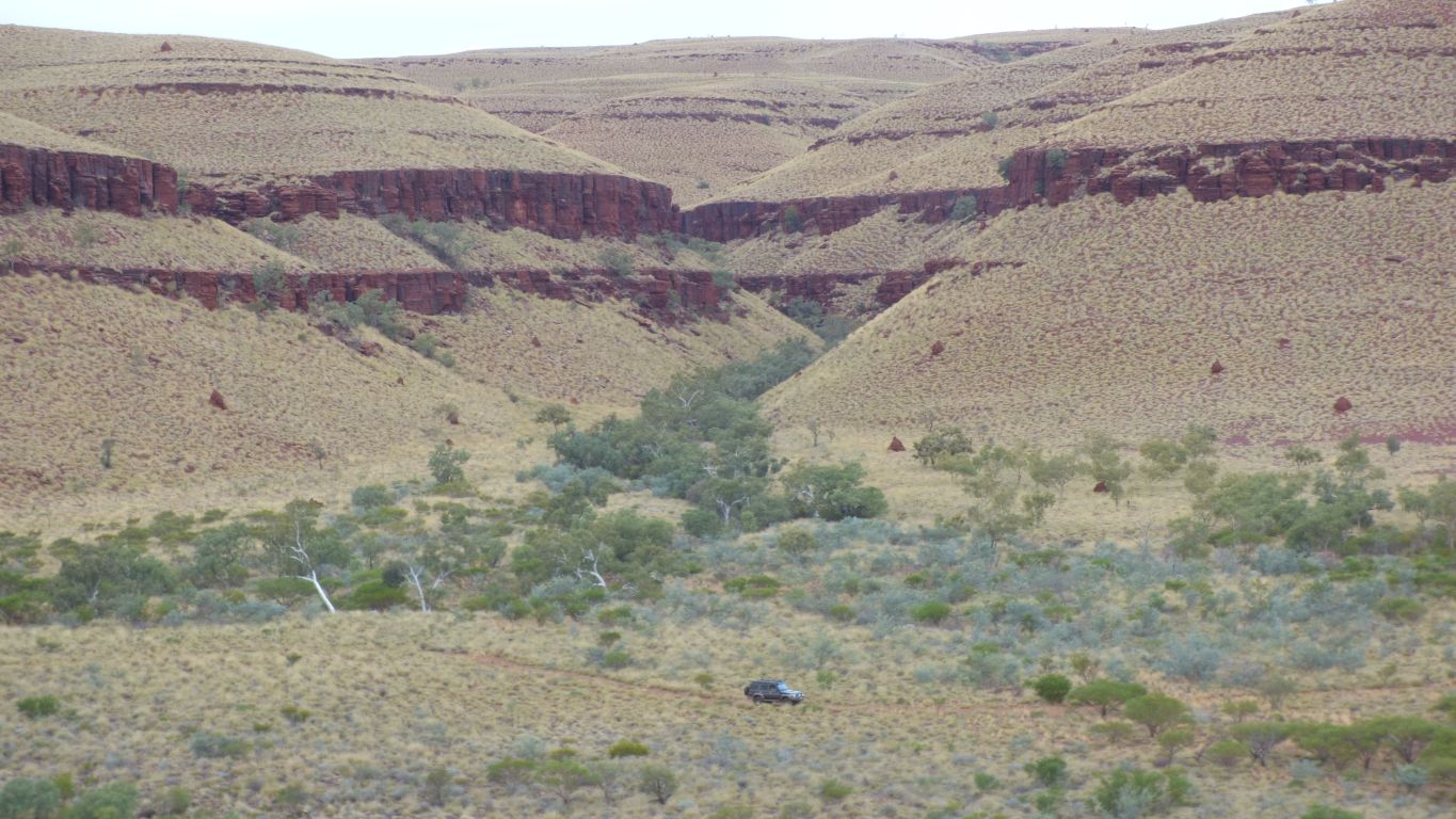
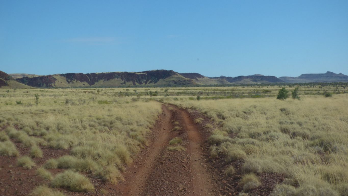
Towards George Gorge.
About 10 km of stony track across the plain.
The National Park identifies it in their pamphlet as "remote camping". No facilities, no fees. The track is not marked and is not on any of our maps. We asked.
Our sort of place.
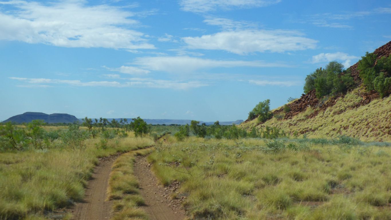
Mt Montagu is on our right.
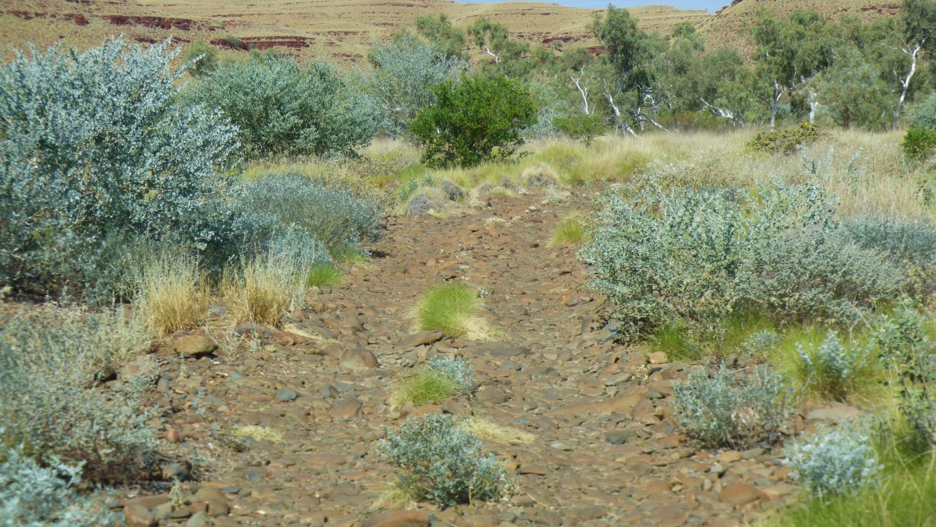
Very slow. Some interesting dry creek crossings.
Rounded river worn rocks, boulders even, but nothing sharp (we hope).
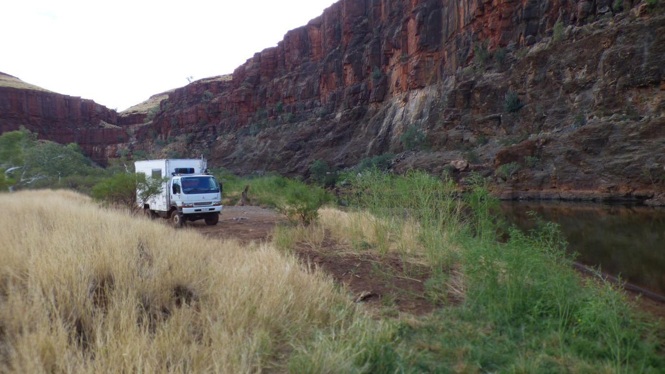
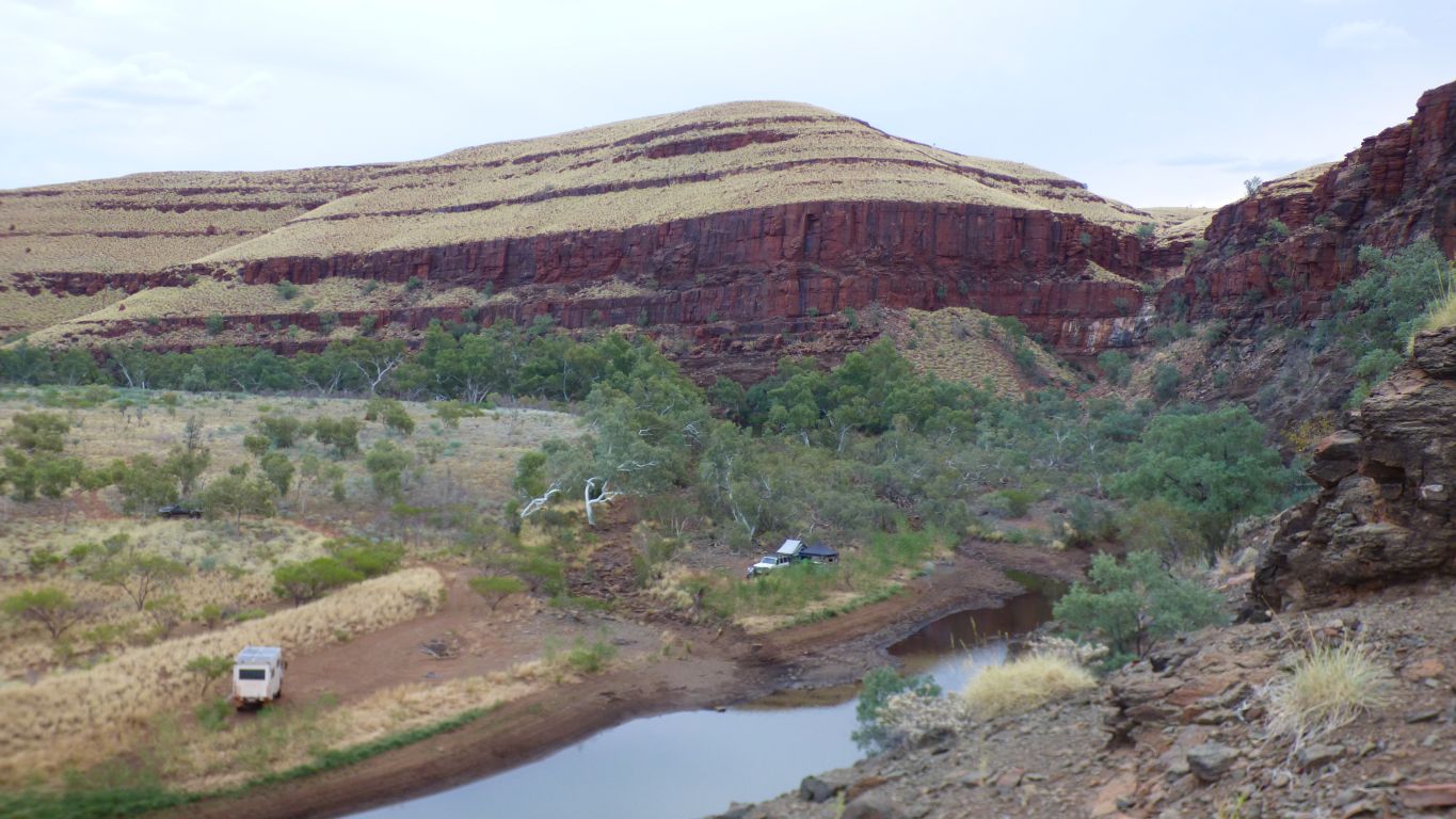
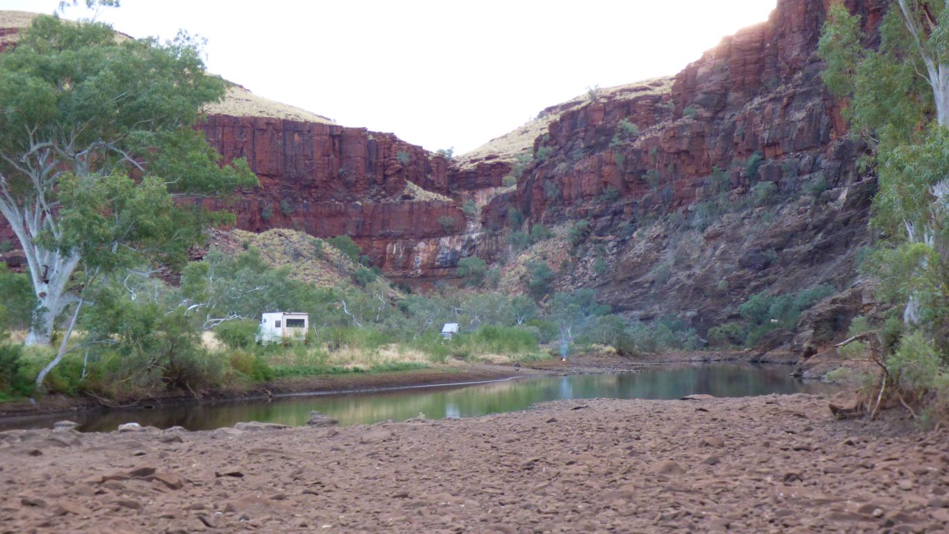
Crossing a loop in the George River.
A little tired, we stopped.
But struggling a bit with the map. The track isn't marked but a pool is. Though not here. About 700m to the west.
At which point Ranger Kate drove past. Month end procedures say take a water sample. Kate also told us of people who had become "stuck".
Saved me a walk to the pool on the map. A much better pool (there's always one somewhere). And lots of other useful info.
The new improved pool is under those cliffs.
My sense of direction is way off. Excuse is the sun is behind clouds.
I thought I'd parked with the cab facing west. Its actually facing east. Some brain maintenance required.
Not to worry, it doesn't matter. And big surprise the satphone has a signal.
The new pool is a bit brown rather than a bit green. An improvement.
We'll go for a walk further up the gorge tomorrow morning then contemplate swimming.
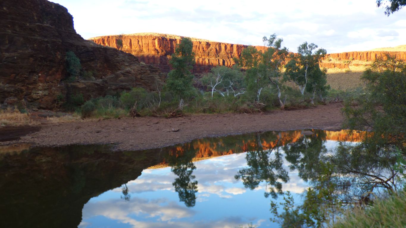
In the meantime we look at the rocks reflected in the pool as the sun sinks.
The west side of the valley is still lit.
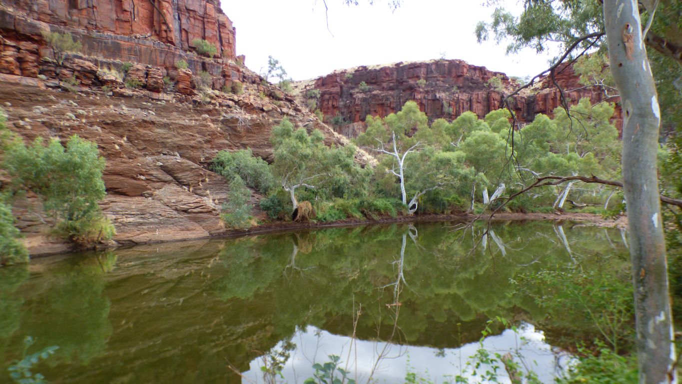
Where the tributary enters on the river bend there's an even bigger pool.
A couple of hundred meters away, if it wasn't quite so dry it would probably be the same pool as we are camped at.
But no need to move ........ probably not possible to be happier.
We've discovered (by listening to to the radio) that its a long weekend. Our remote campsite has been invaded by a couple of locals who are intrigued as to how we found their little known location - but of course no magic involved.
The birds are beginning to get used to us.
We'll move again on Tuesday as we will be travelling along the coast, which will be more or less busy. Note to self - remember to find out when school holidays happen.
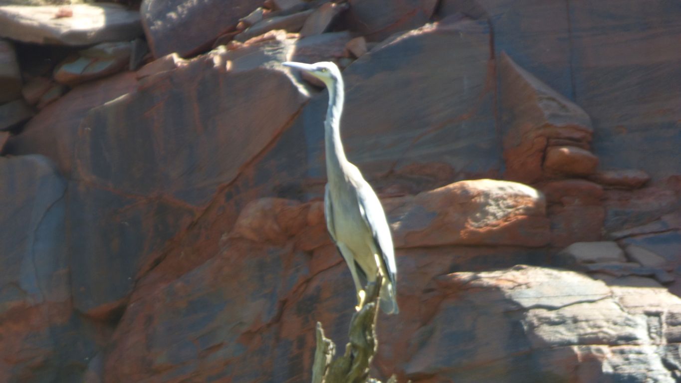
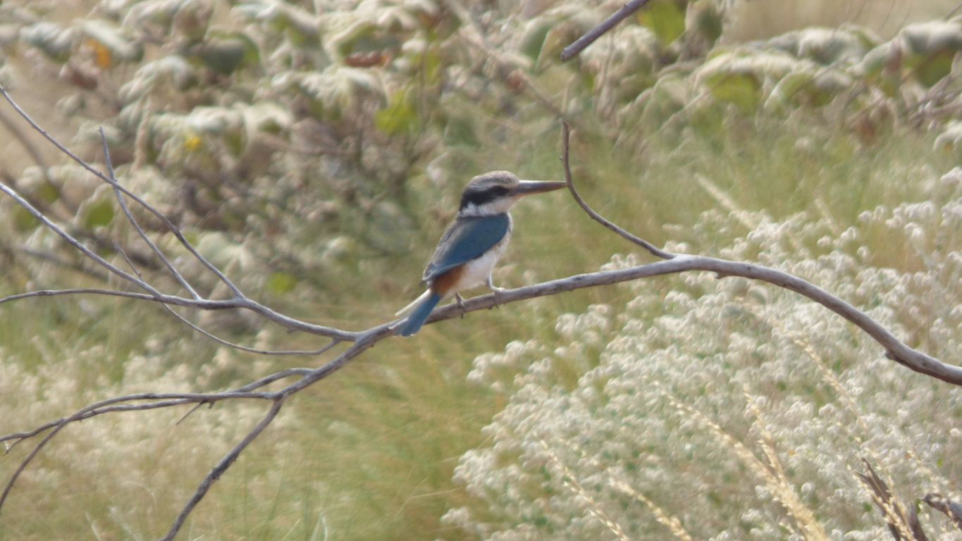
After the cormorant landed near it.
Slowly warming to the idea that its basalt. Fast cooled with small crystals and gas bubbles.
Our morning walk following the creek upstream .... "just around the corner".
The last camping spot with a track to it is shortly before the corner.
Turn left to exit to the north.
How big must the river have been to carve such a valley.
Dwarfed by the enormity.
Turn right at every junction until all options are exhausted then last turn to return to campsite further down the valley.
Not sure if its usable, we'll perhaps try the laptop tomorrow.
It ends "just around the corner".
Or at least is covered by rocks eroded from further up.
We think the top is basalt.
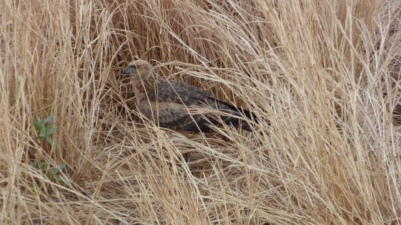
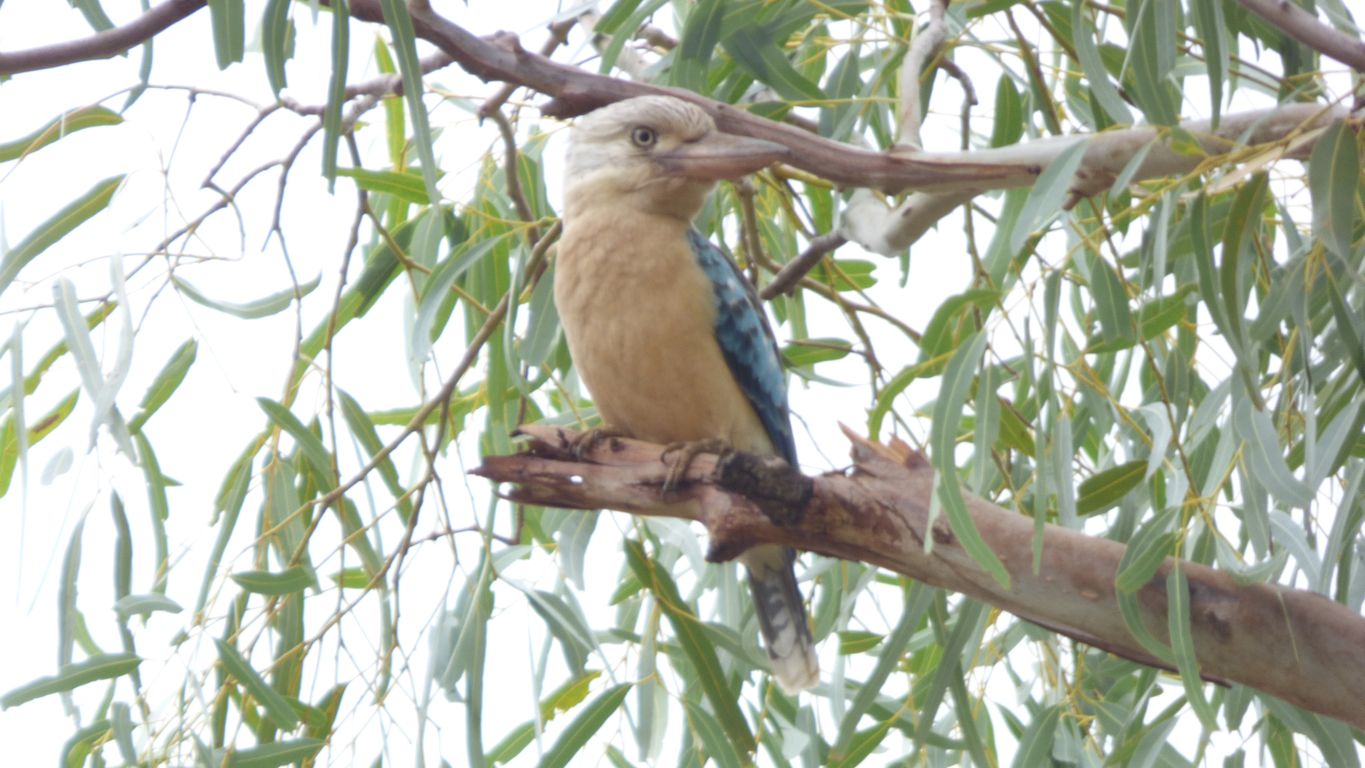
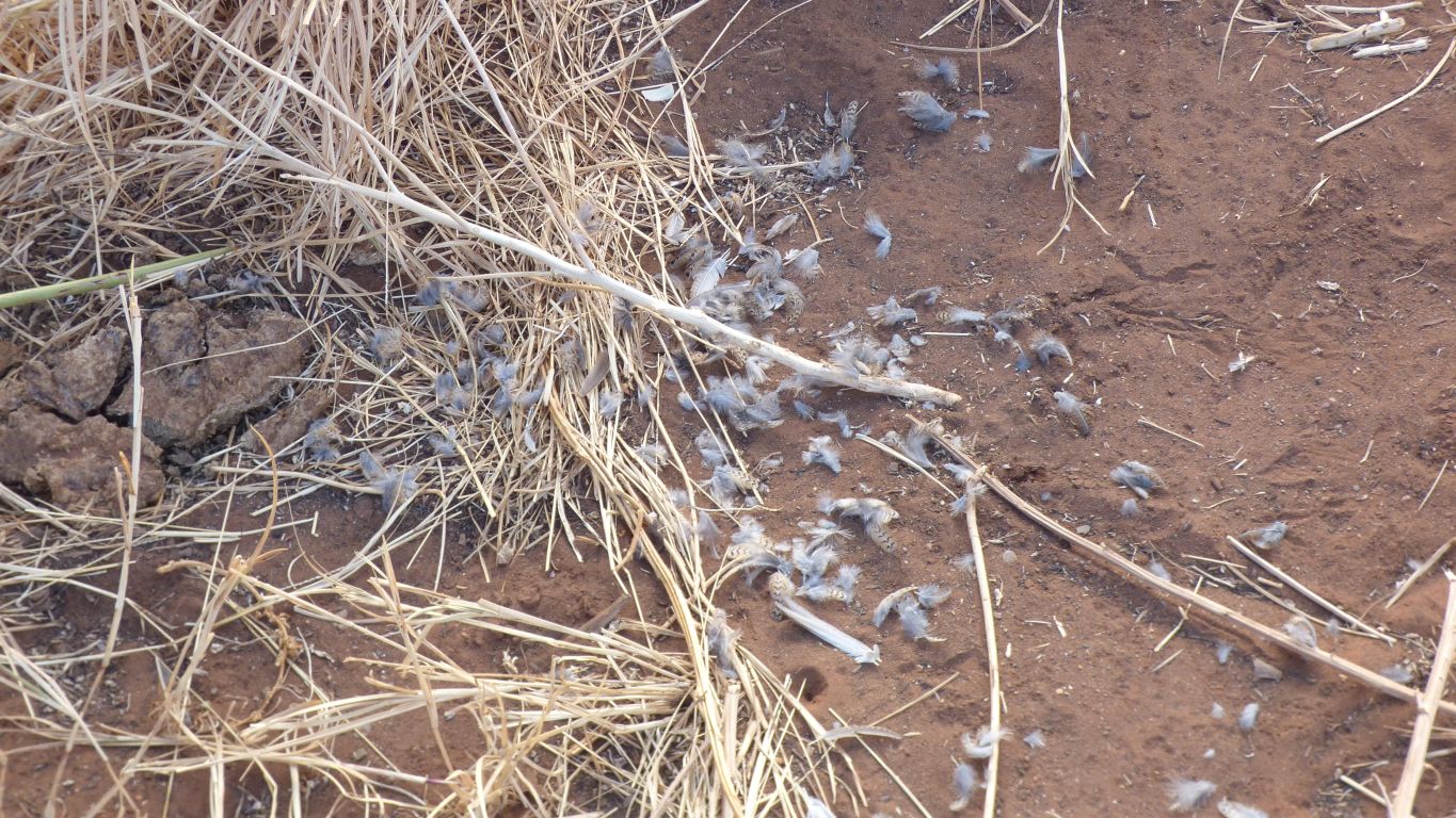
A fleeting glimpse of something flashing past a window, but nothing on the other side.
A bit of a flurry as it grappled with whatever it caught in the grass.
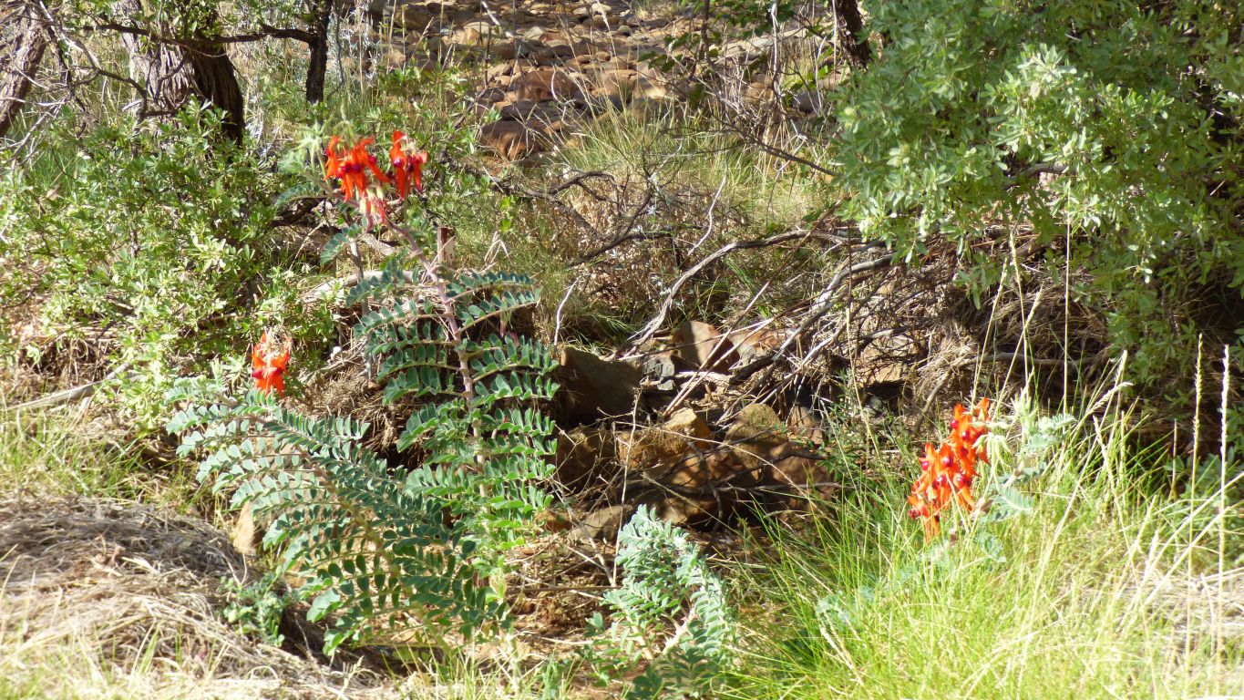
Something we hadn't seen.
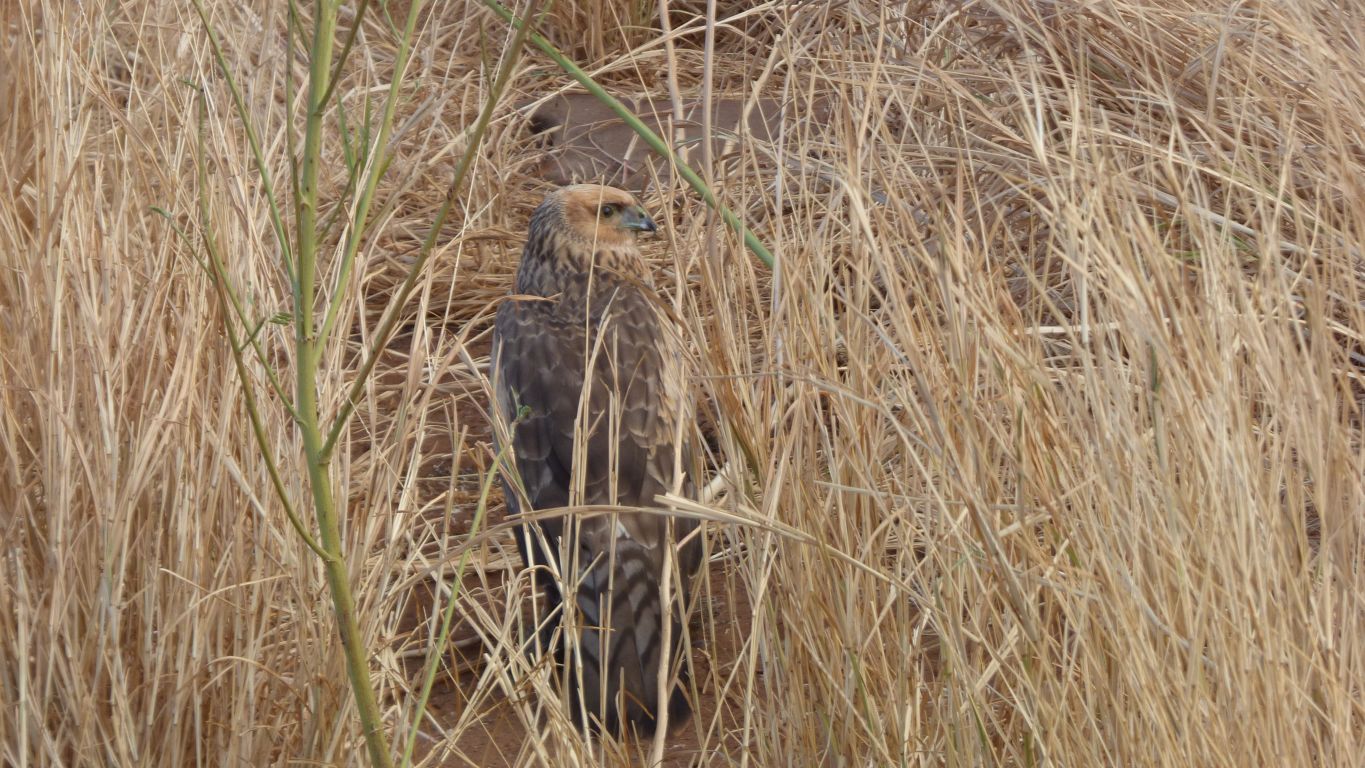
But totally ignored the four and a half tonnes of bright white truck sat within 3m containing two people desperately trying to maintain a low profile with only occasional whispered "ooh"s and "aah"s. A working mobile bird hide.
With only the seemingly thunderous "ker ching" of the artificial electronic shutter to break the mood.
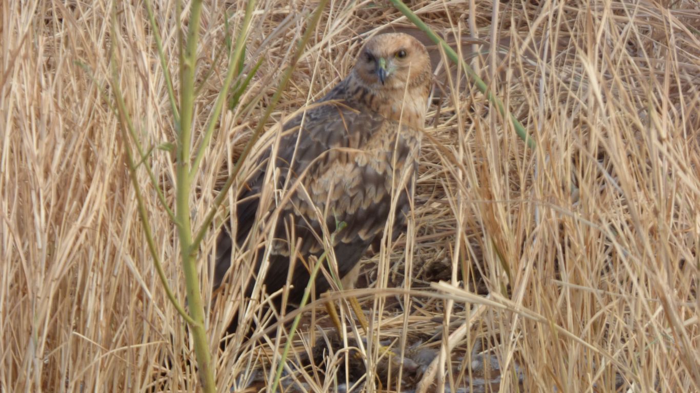
While still taking care with the surroundings.
It doesn't need eyes in the back of its head as it can turn its head in almost any direction.
The bird book is not much help!
We think there's something quite special about close up wild life. Perhaps as we see episodes like this so rarely.
And as long as we aren't the prey.
We decided it was time to move on.
Behind us some lower cloud moving in.
We hear on the radio mention of rain sometime soon, though there's not been much for a long time.
Another red-backed kingfisher beside the track.
I'm getting used to the idea they don't spend all their time next to water.
Somewhere quiet to camp, we'll reach Karratha on Tuesday morning.