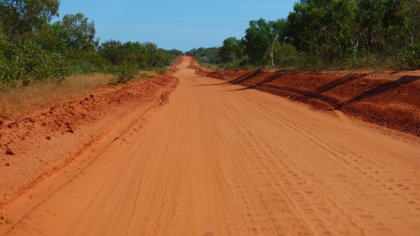
Now its heavily corrugated. Travelled by local residents and a few 4wds. The many caravans that took advantage of the good road for long term camping now travel elsewhere.
And us.
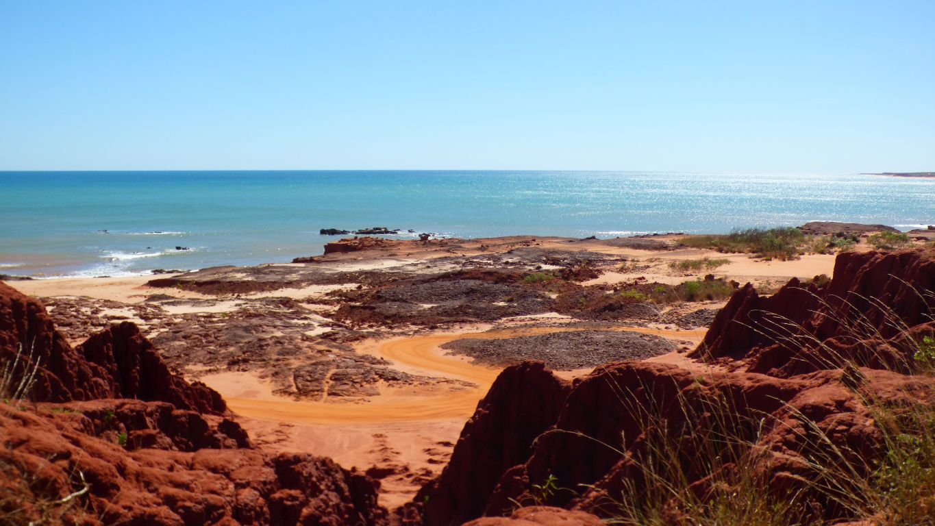
Also named Walmadany.
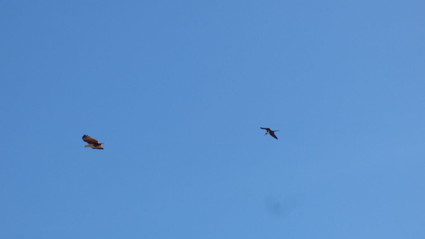
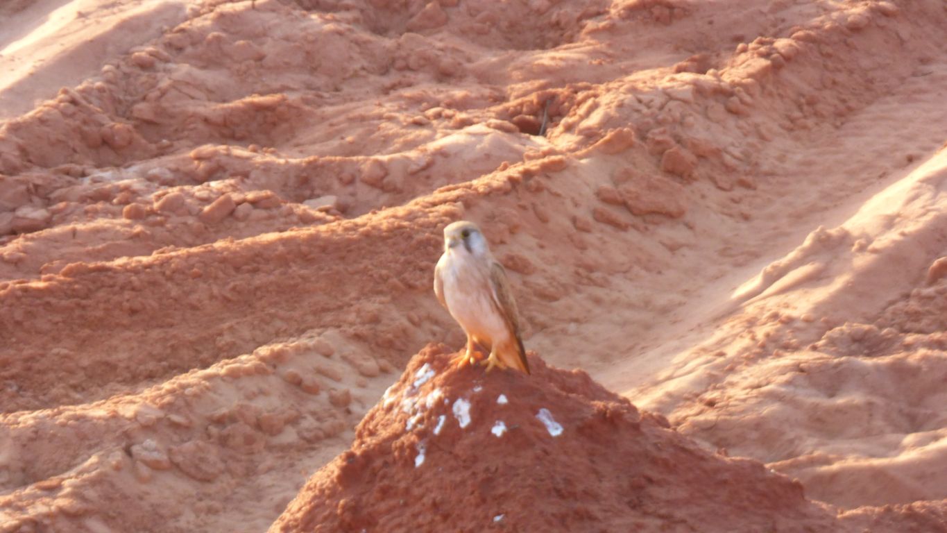
A Brahminy Kite and a .......
There is no-one else here.
So a quick reconnaisance.
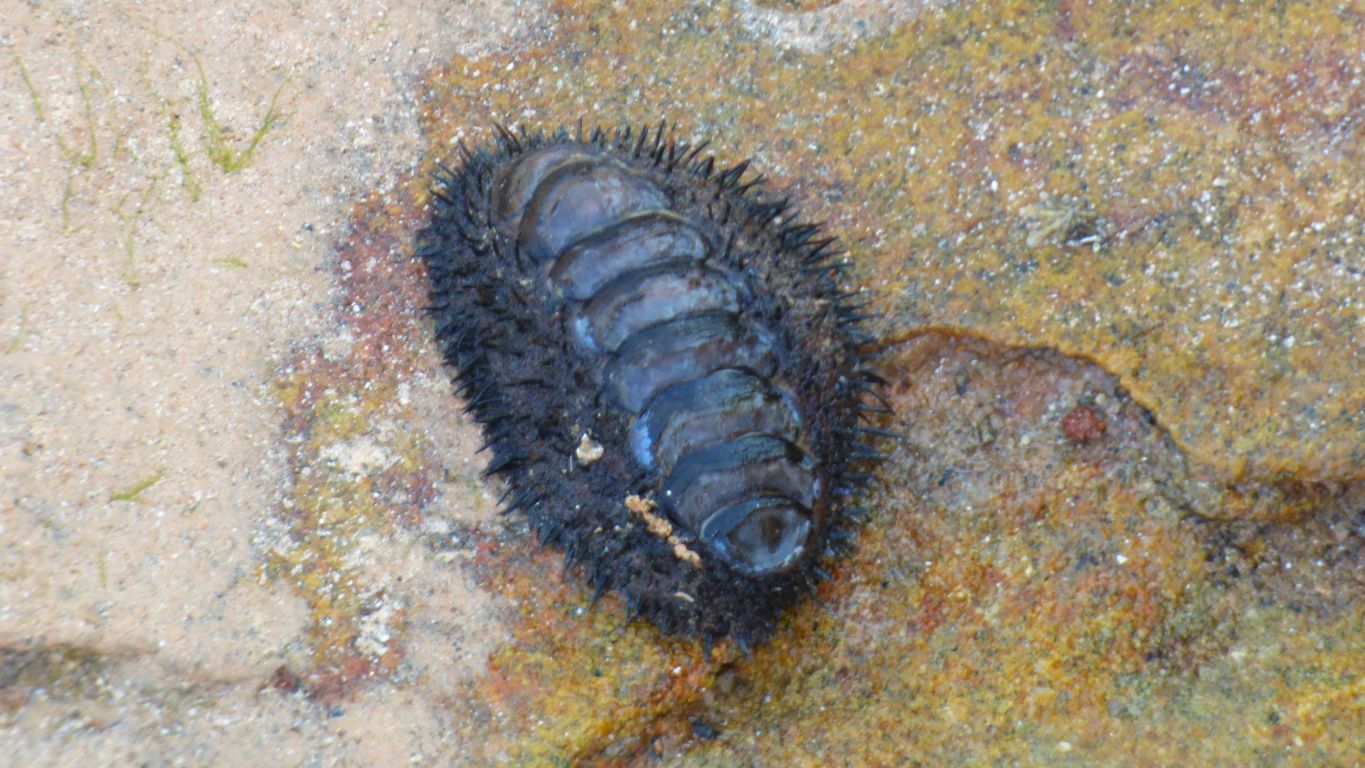
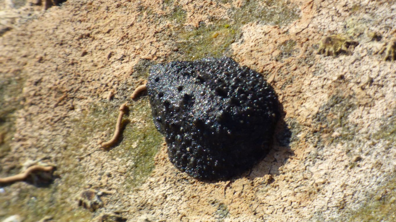
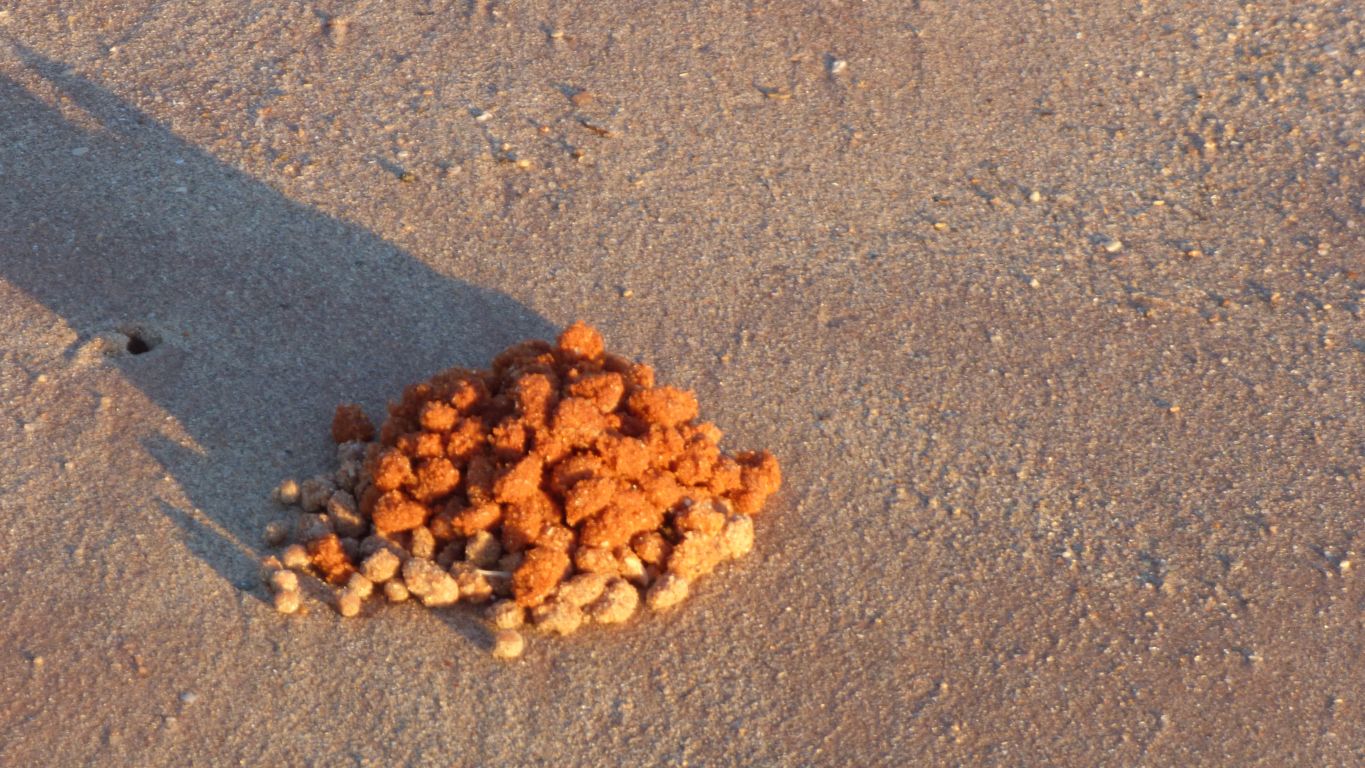
We are looking for dinosaur tracks but trip over a "hairy chiton". We know of chitons but have not previously seen hairy ones.
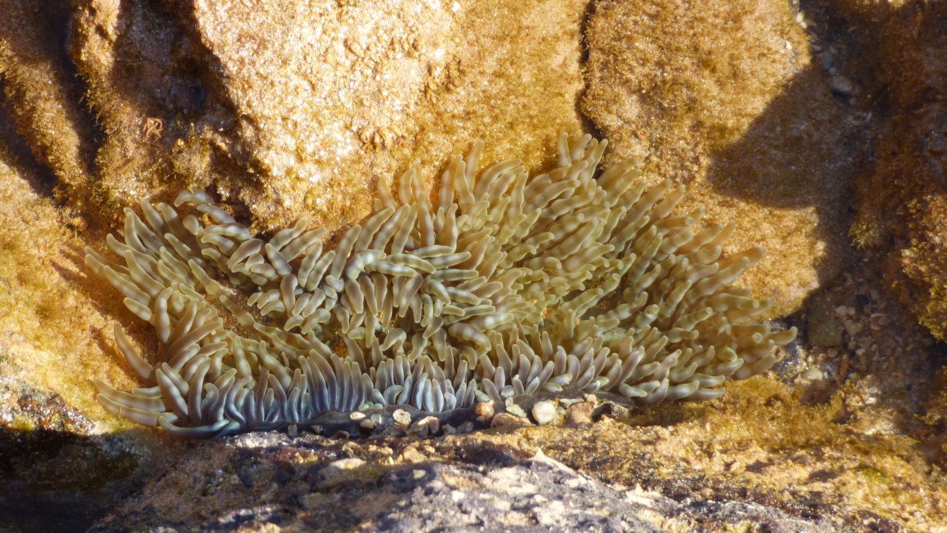
An anemone (but don't ask us to say that ...).
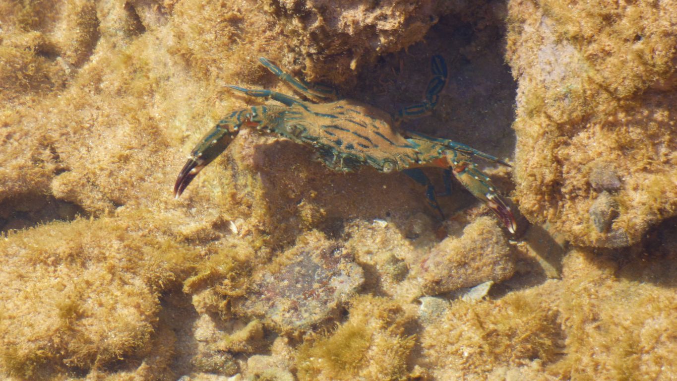
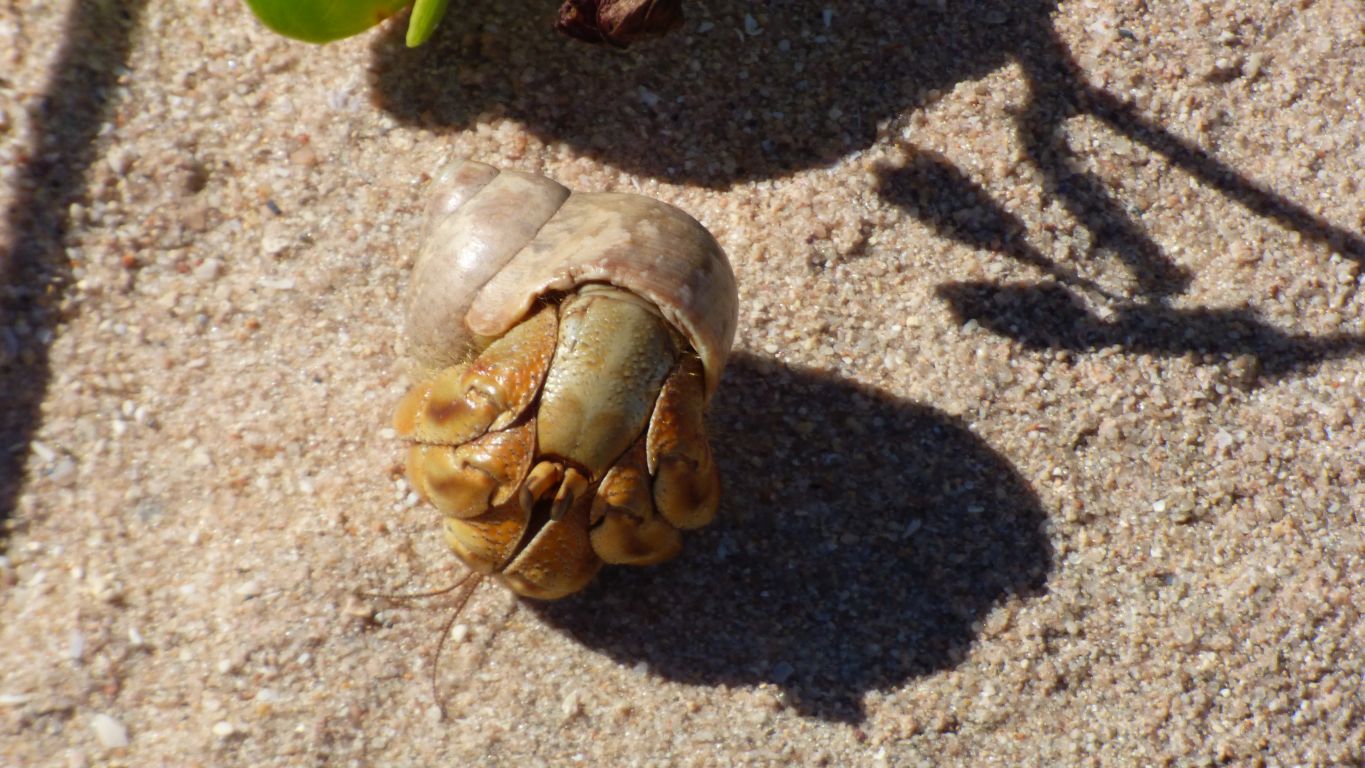
Some of them try to defend themselves.
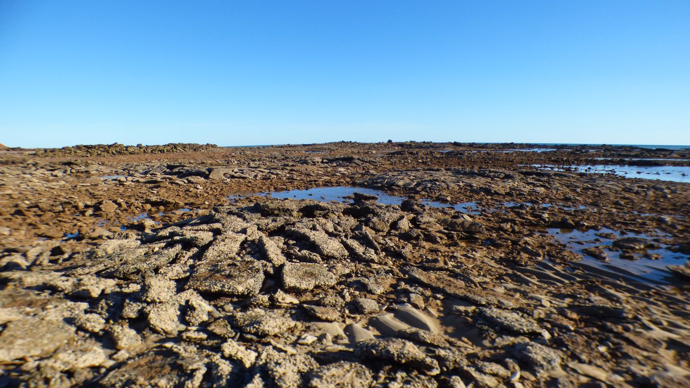
We haven't yet got our eye in. Despite photographs and papers it will take us some time to make sense of what we are looking at.

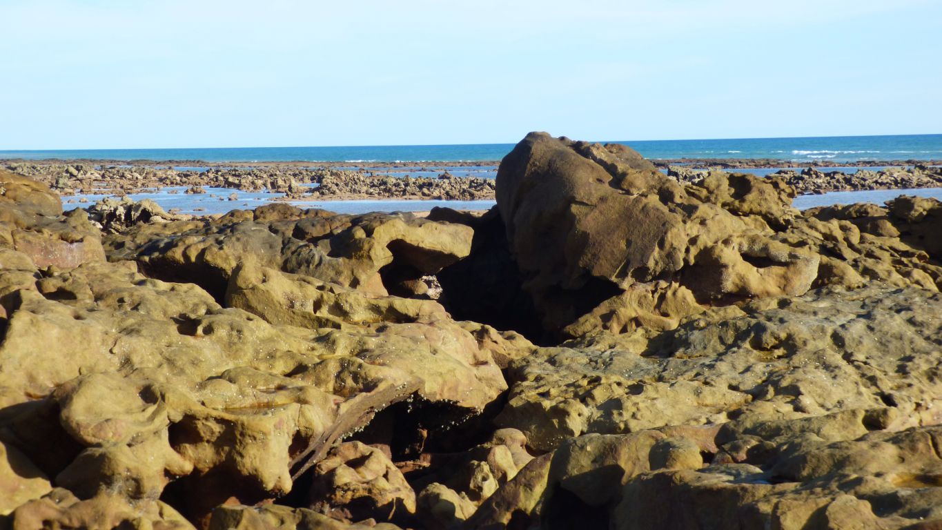
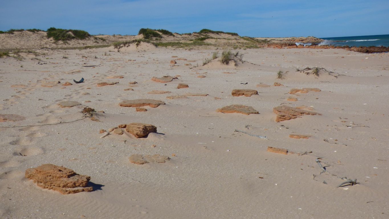
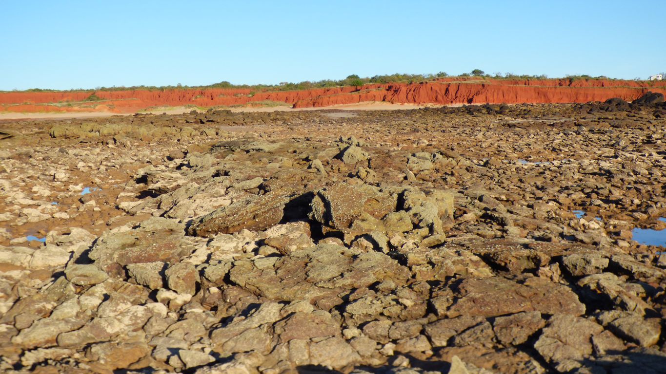
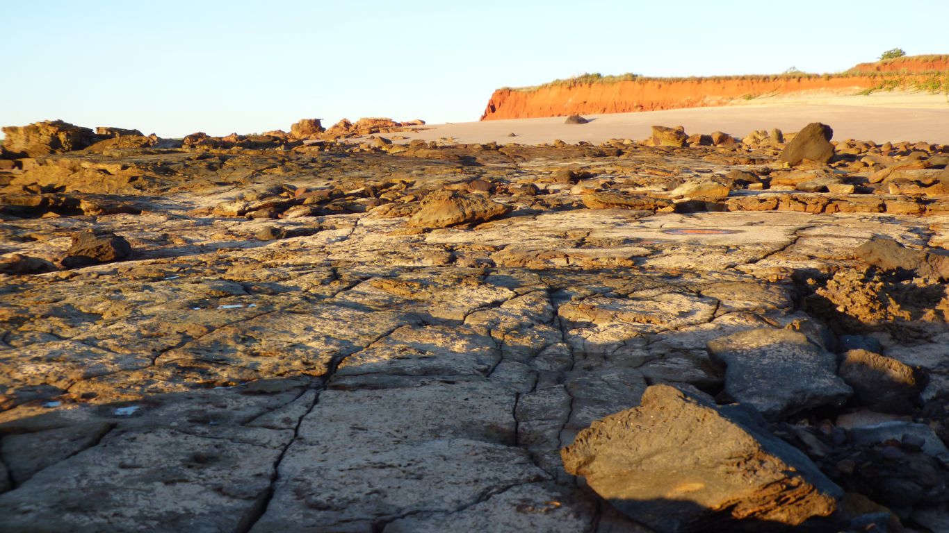
Our first problem is "which rock is the Broome Sandstone".
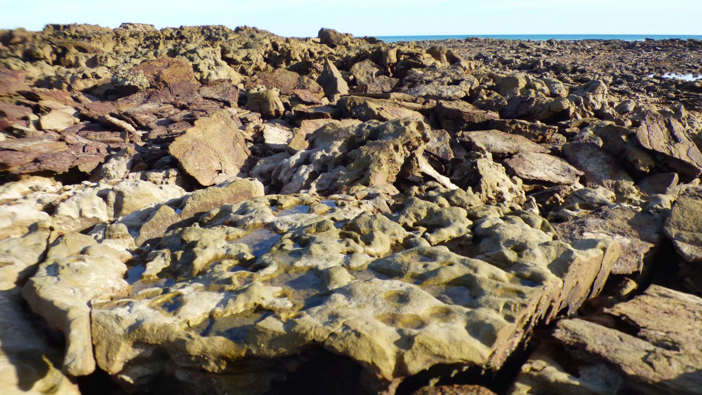
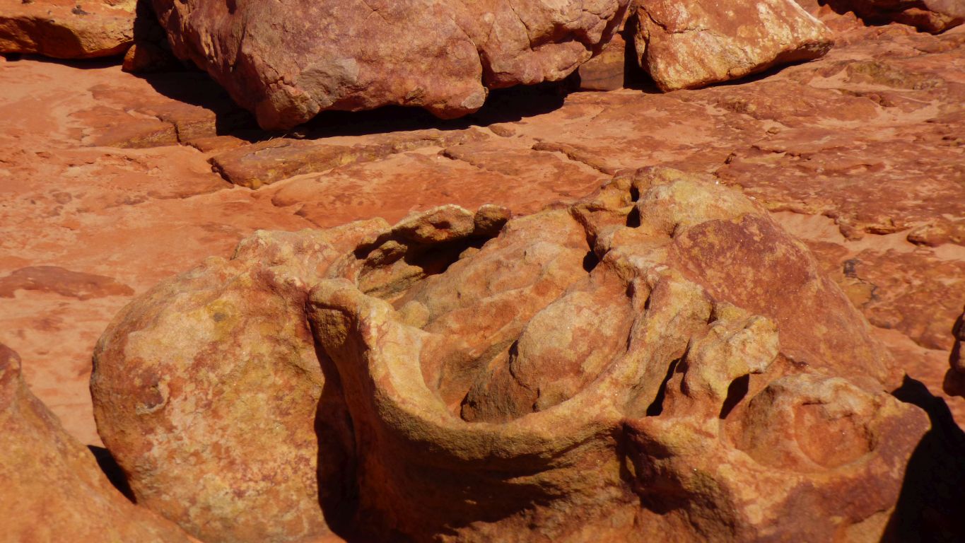
There is the green-yellow rock which is a fairly thin layer with what we imagine are smallish indentations on top and columns underneath.
In some places its not the top layer.
We can imagine something with feet pushing through mud, which hardens to sandstone, then the surrounding rock underneath is eroded leaving the columns.
But we can't find anything resembling that description.
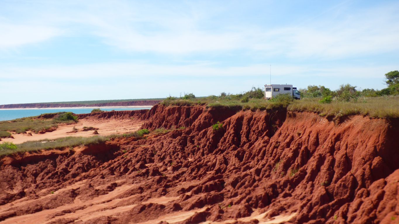
It used to be horizontal.
There's been tracks of at least 21 different dinosaur types recorded along this coast, not all in one place, many different sizes.
We still don't know if the Broome Sandstone is the reddish rock of the greenish-yellow rock.
Since the harder red substrate is more widely distributed perhaps that's the sandstone.
Then again .... after downloading a long paper, that includes a stratigraphic section, its all Broome Sandstone.
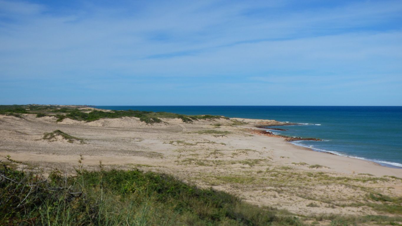
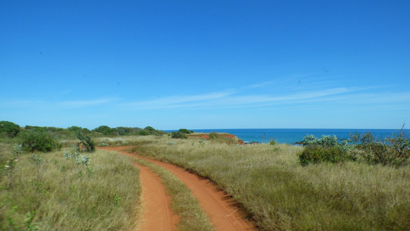
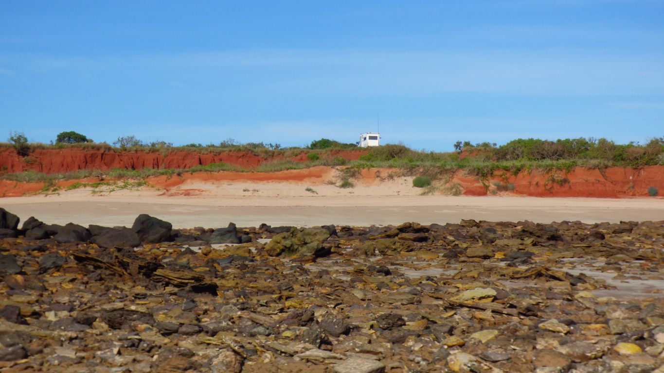
It runs behind the dune of white sand.
We found our way through the dune where the Lurujarri Trail crosses to a campsite.
We turned back once we reached the point that we can see.
No doubt there are middens and burial sites among these dunes, but we didn't really look, it just seems so obvious.
Lurujarri are the coastal dunes.
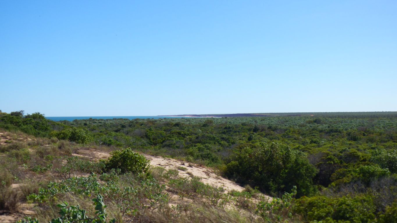
The bush is fairly dense coastal rainforest.
We had a much easier journey along well travelled roads.
We wonder what sort of tracks it makes.
There is something that leaves tracks like a large beetle, too large to be a beetle we think.
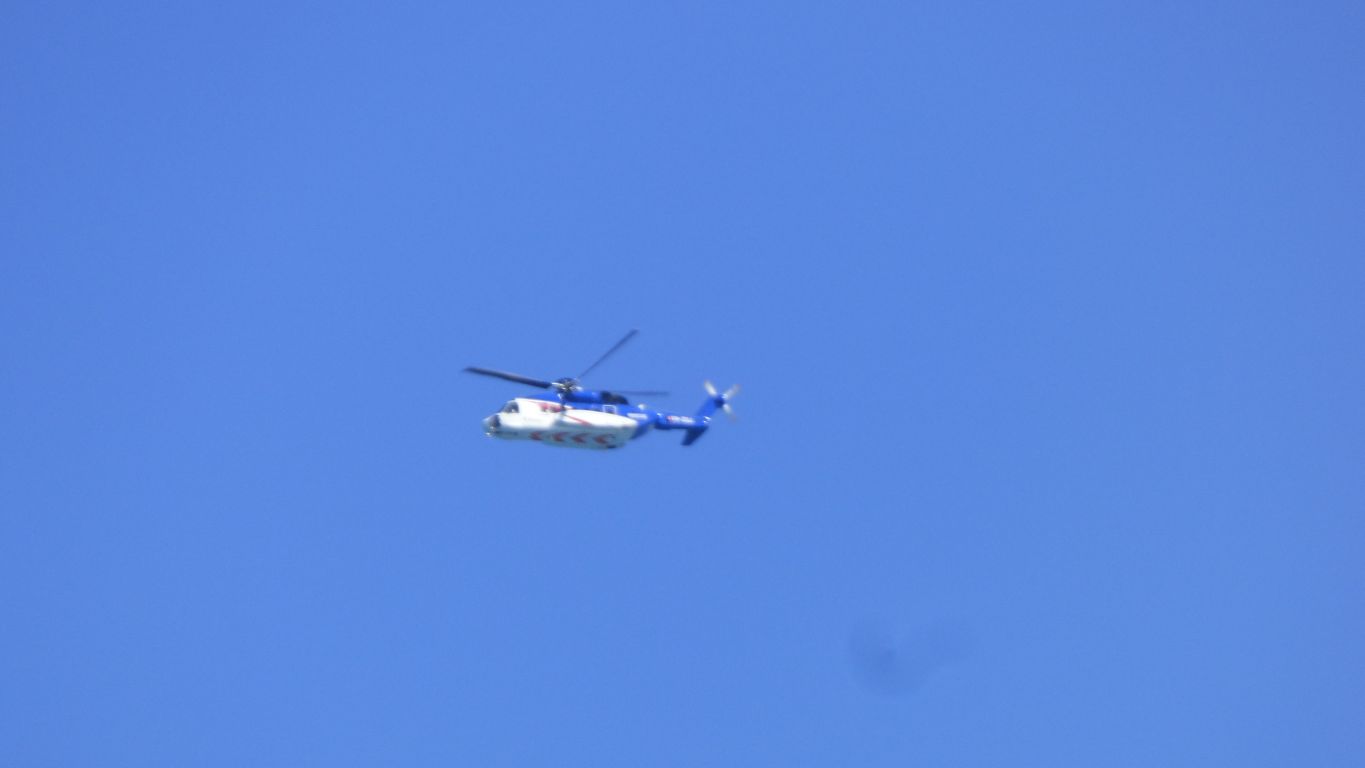
Frequent journey from the Browse Gas Field.
Slow and heavy sounding.
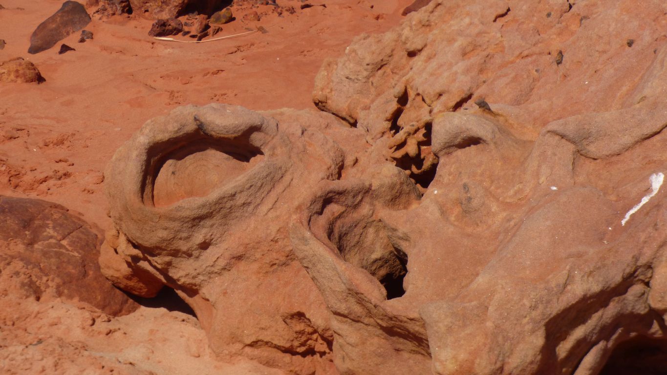
I'm looking for "three toes" but failing miserably.
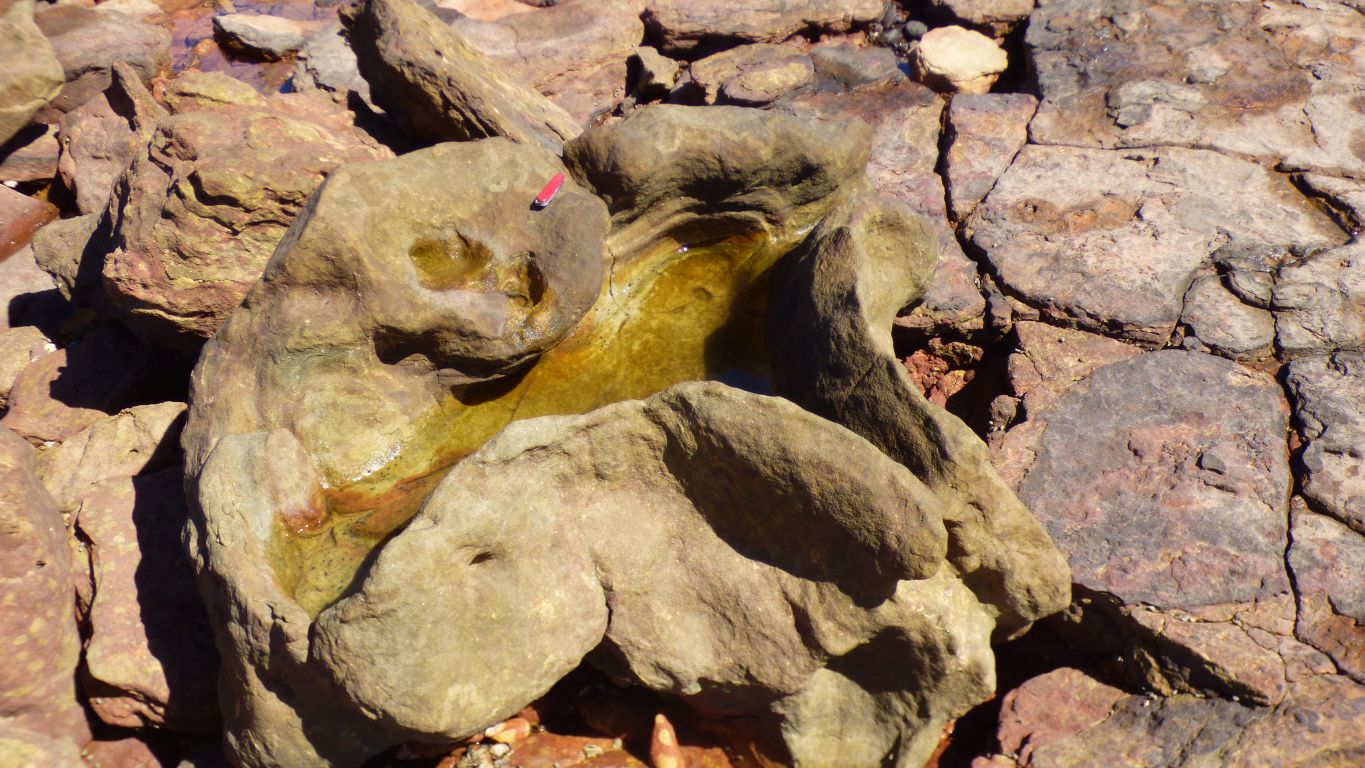
The swiss army knife gives some idea of scale.
Theropods are bi-pedal (two feet) and carniverous.
Hence the impression of claws I guess.
Also reminiscent of Marala, the Emu Man. The Law giver in Aboriginal culture.
And failing.
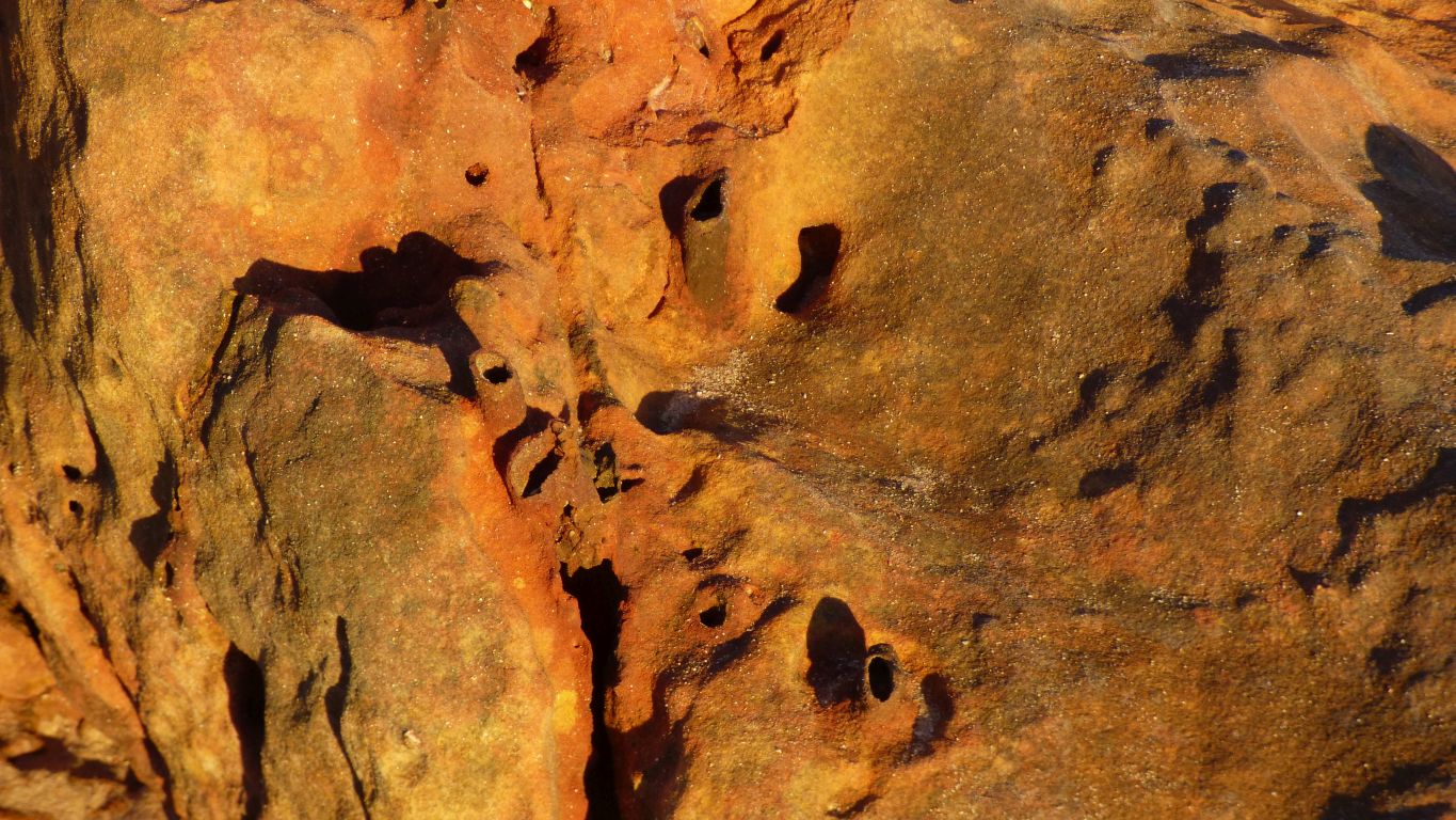
The depressions are apparently dinosaur tracks.
There was probably / possibly a layer of mud on top that spread the load, so we see just depressions in this layer of rock.
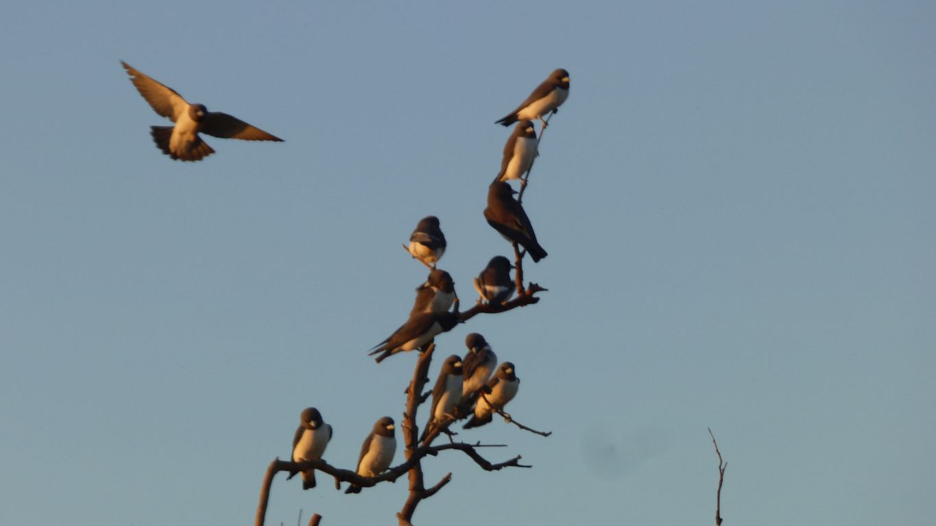
A large flock of white-breasted woodswallows chasing the myriad flying insects in the evening light.
They are becoming used to us.
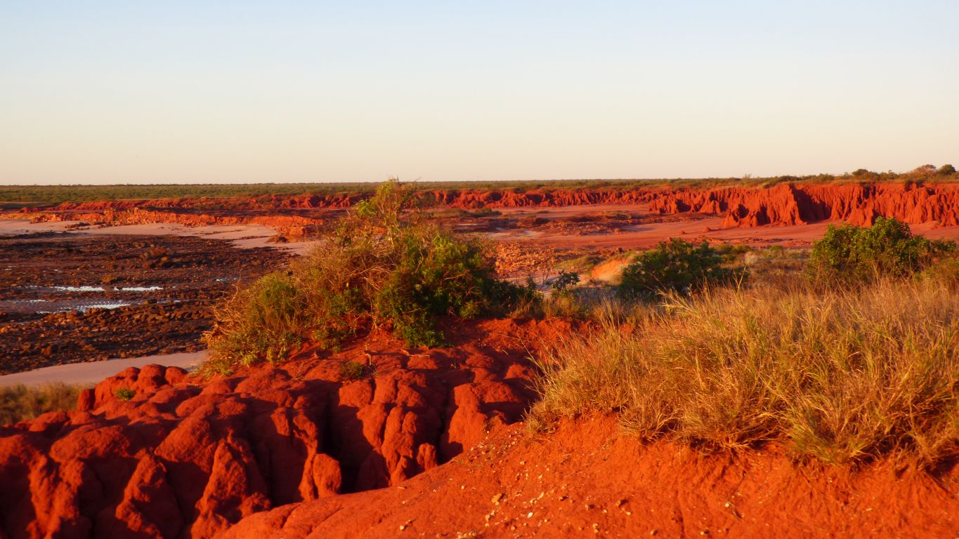
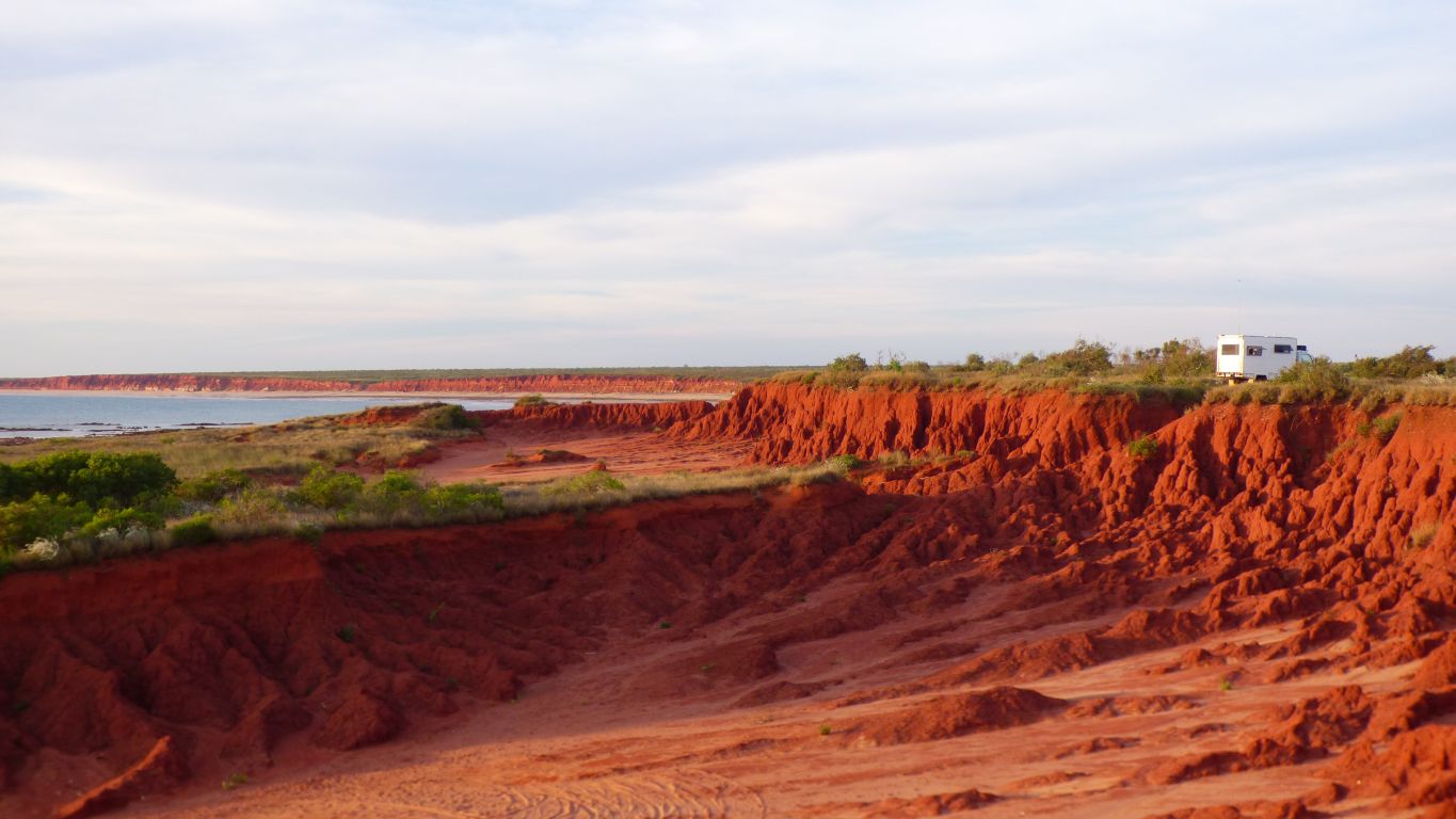
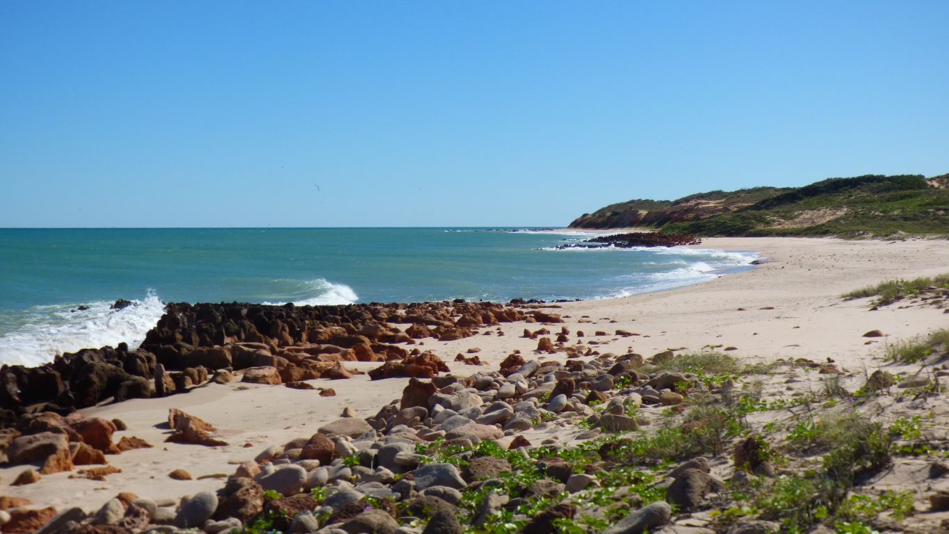
The red cliffs are Yanniyarri, extending northwards to Flat (Dugal) Rock.