This meant turning the heater on at 4am, getting out of bed at 4:30, ablutions and breakfast, then setting off on the 35 km drive to the south of the park so as to start walking as the sun rose.
The park visitor's centre has a registration system, register on the way in, de-register on the way out. PLB/EPIRB is required (we have one but it can be rented) or satphone. We registered a couple of days earlier as the centre doesn't open until 8am.
Note that we walked in mid-August. Water availability and temperatures are very different at other times and won't be the same next August.
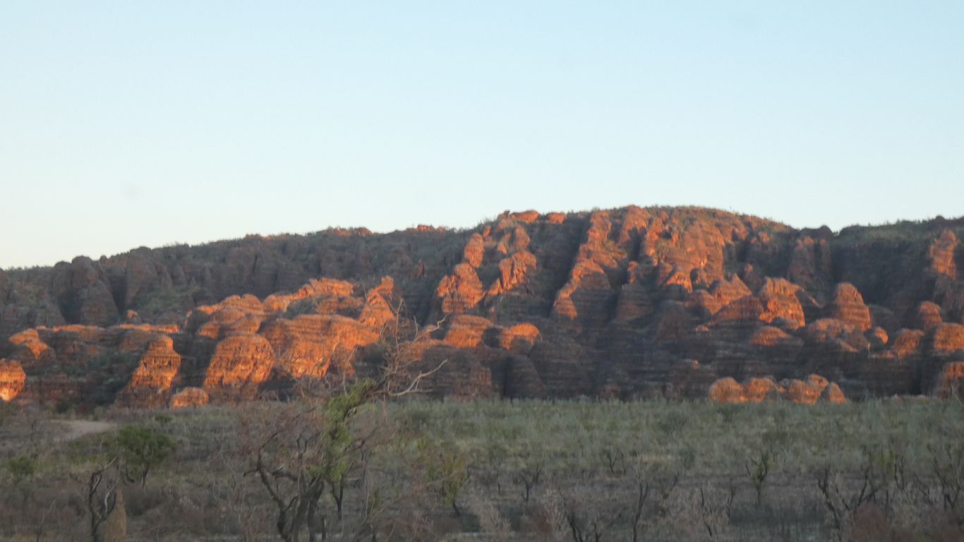
We start with domes.
Its either an almost totally eroded dome, a remnant of whatever pushed the Bungles upward, or the top of a disused cold war era missile silo.
We may never know.
The distances involved are such that we have to contend with high temperatures and walking in direct sun with potentially limited water.
So set off early before it gets hot.
We were unable to learn whether there definitely was water available in pools, particularly at Black Rock Pool. Other possible pools are much smaller and unreliable.
An industrial working life where the difference between "should" and "is" can be critical has led to me being conservative.
So the critical question was how much water to carry.
We opted for 10 litres plus two one litre drinking bottles. That's 12 kg.
Along with sleeping bags, tent food and cooker it all added up to heavy packs.
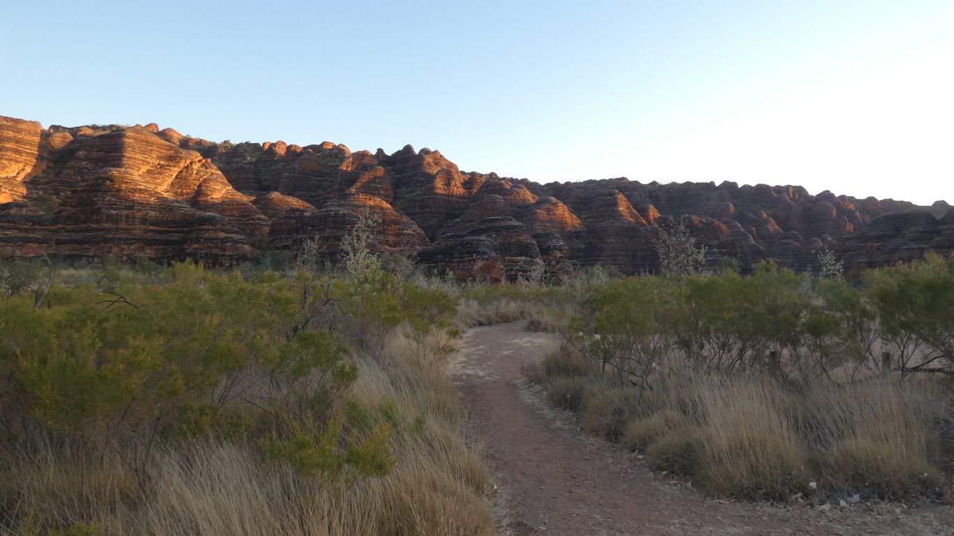
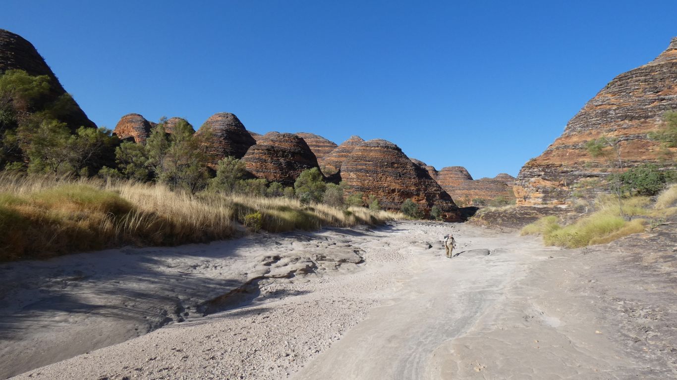
Initially on pavement. Later on sand or shingle, which are tiring to walk on. The combination of terrain, increasing temperature, and heavy load result in something described as difficult followed by more difficult.
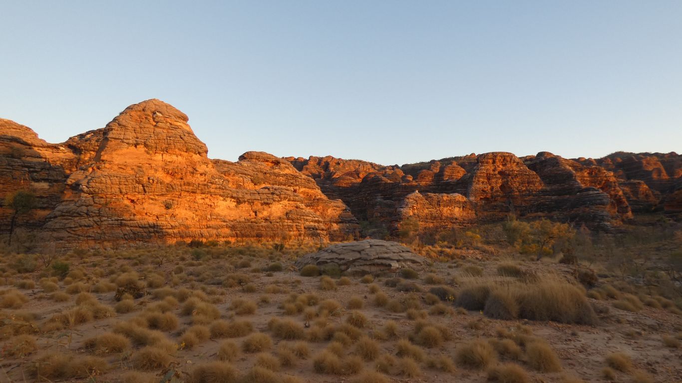
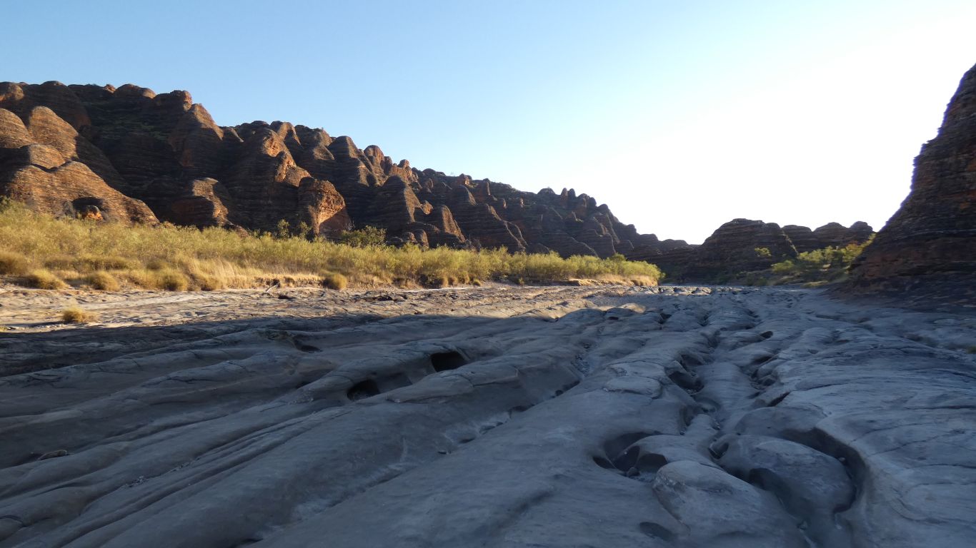
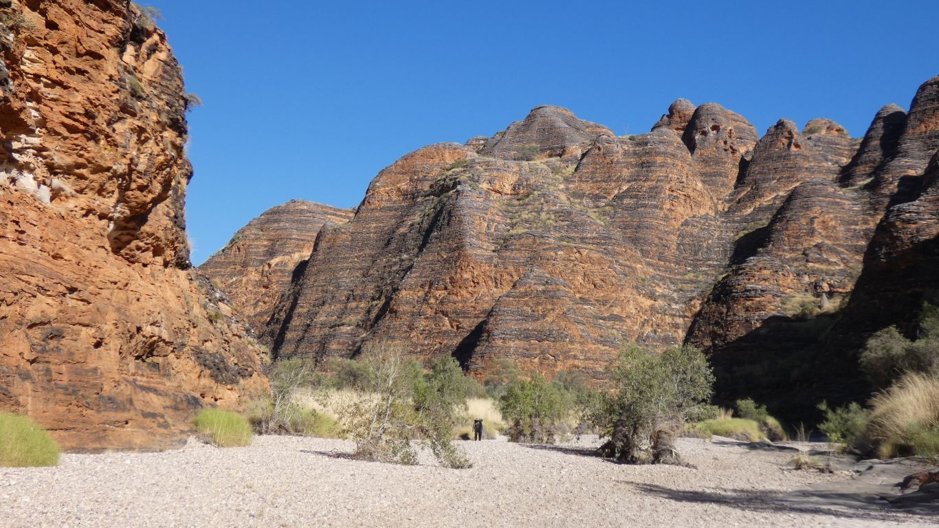
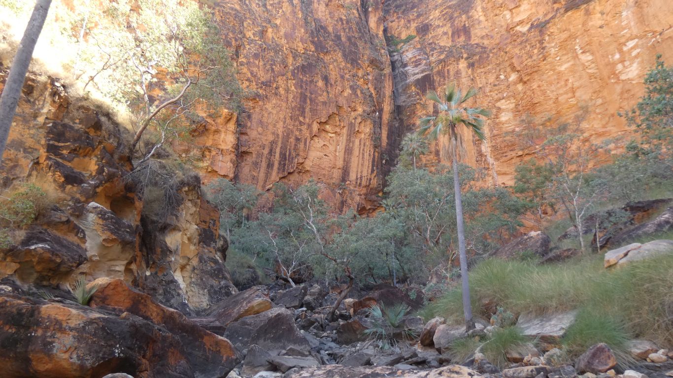
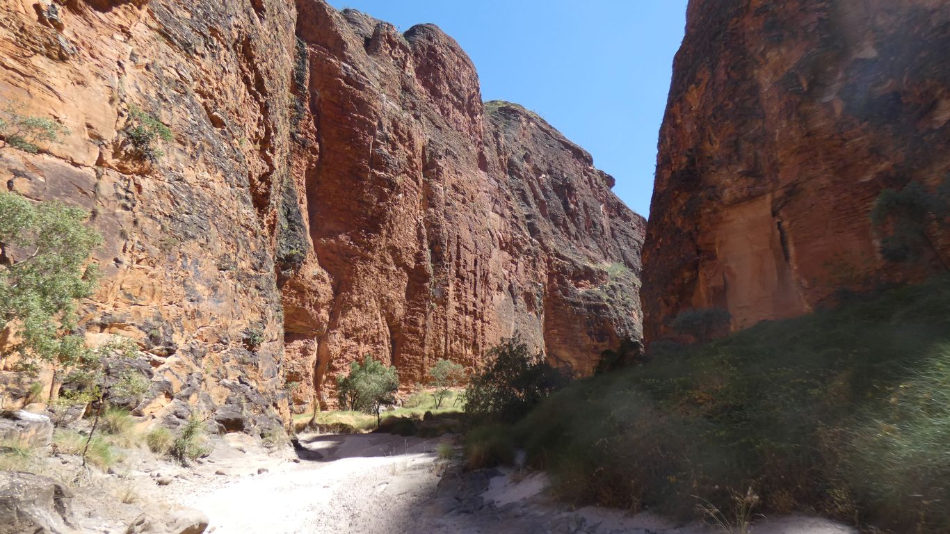
As we follow the dry creek bed upstream the scale of our surroundings becomes apparent.
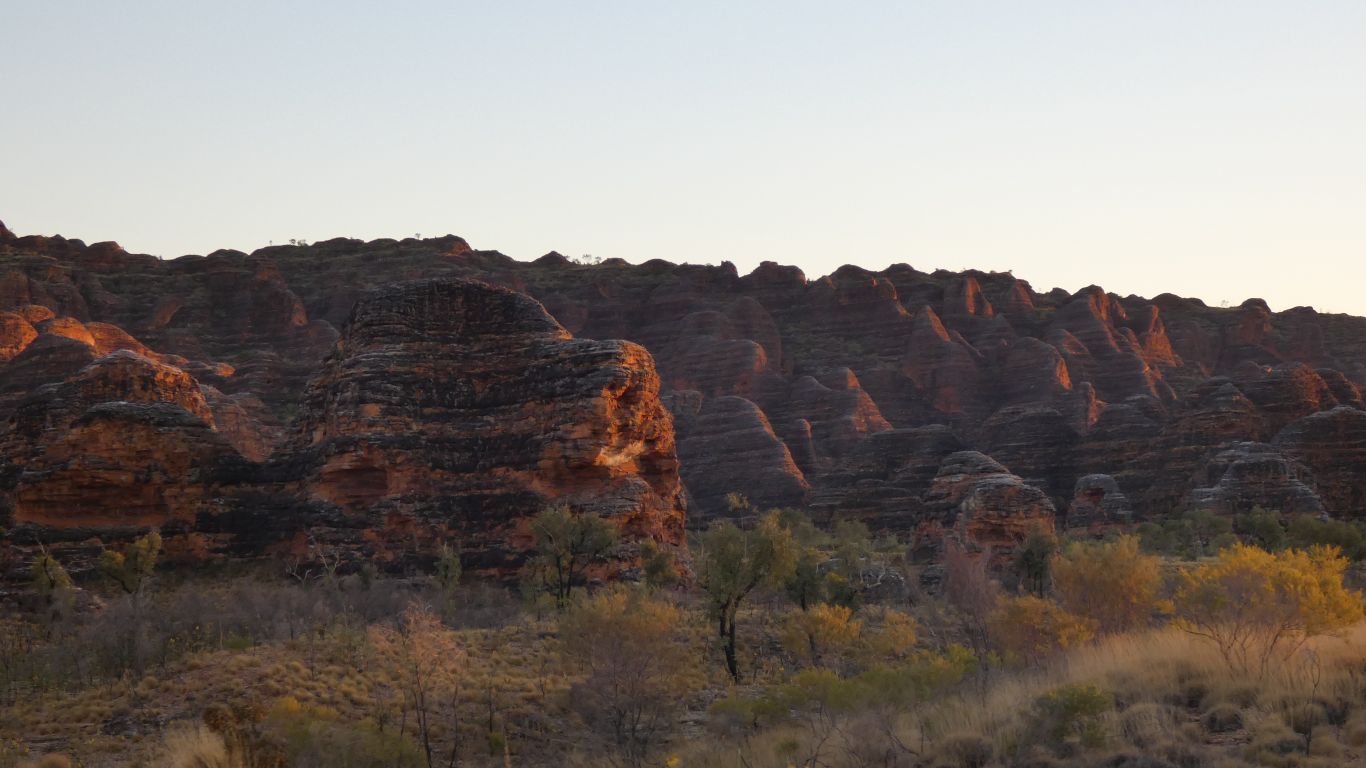
Decorated like a gigantic barcode, the stripes line up along all the domes.
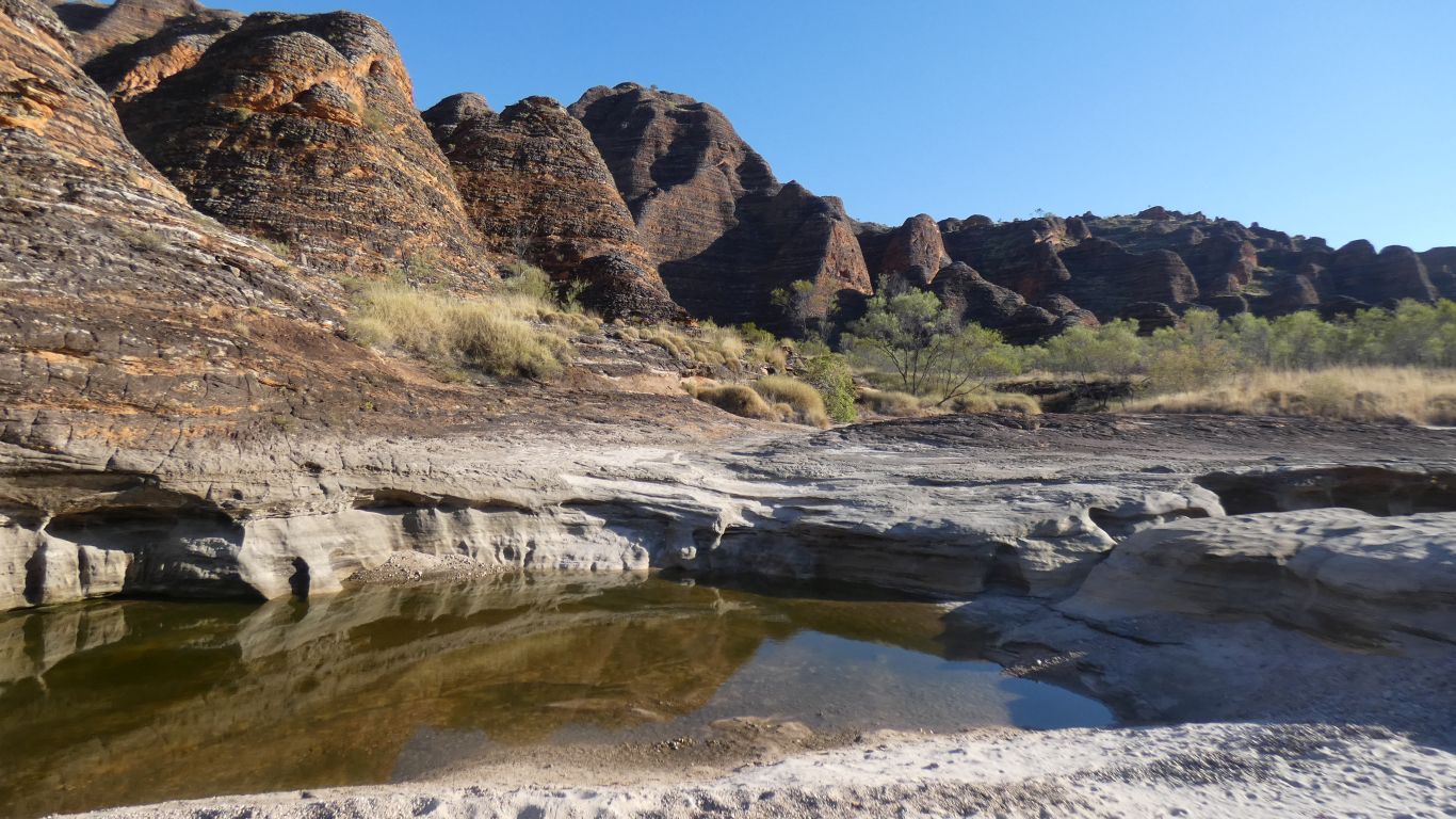
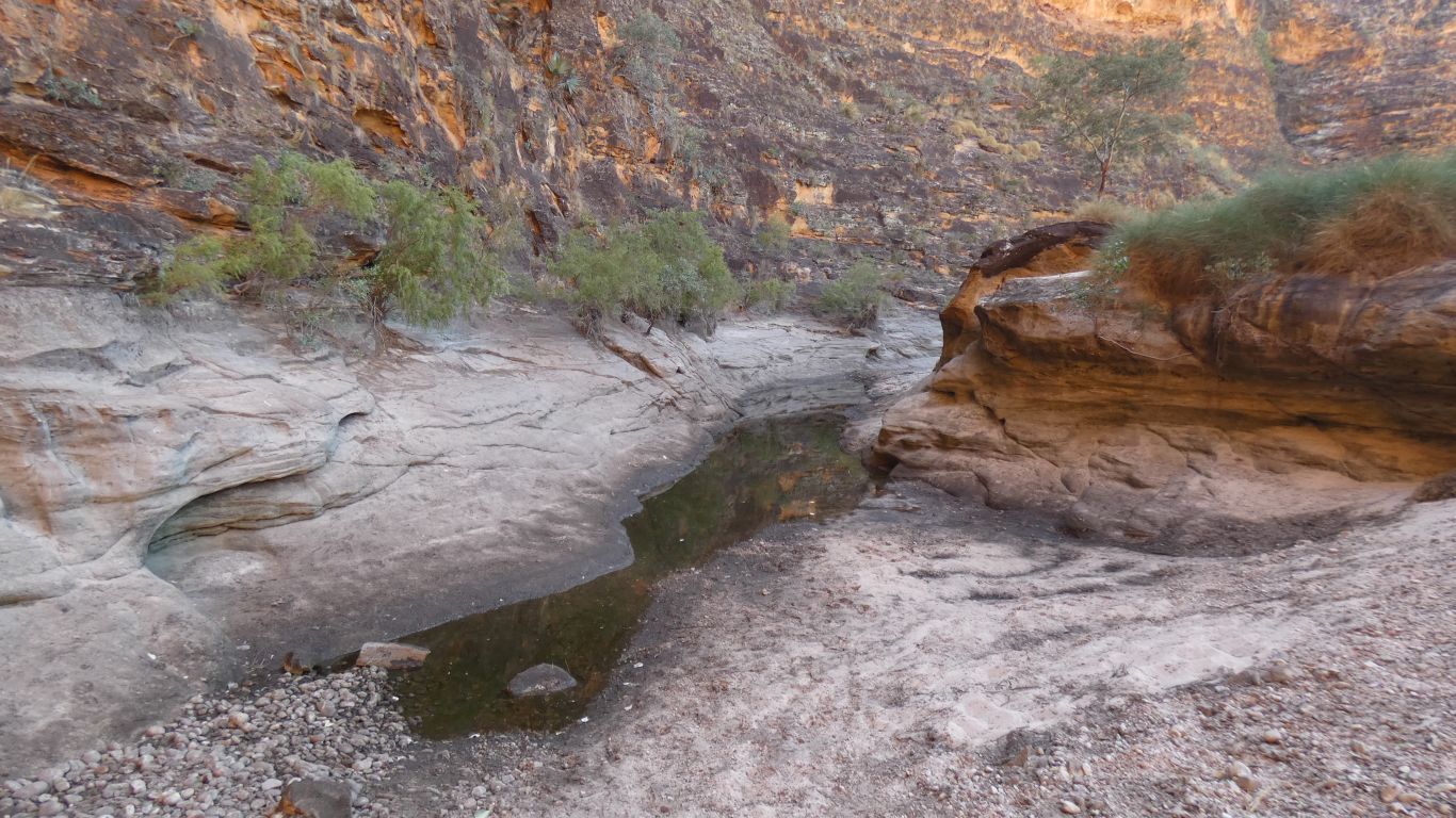
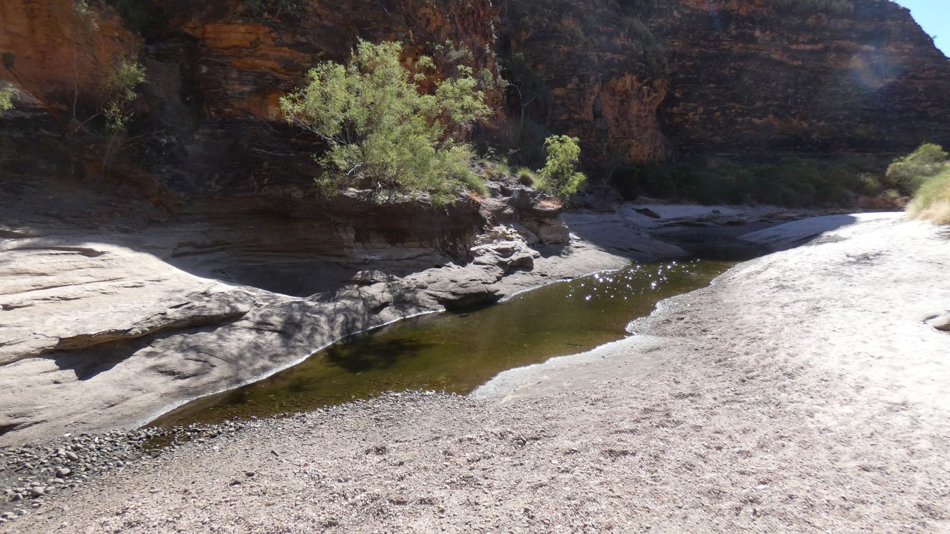
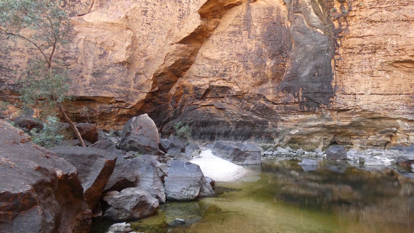
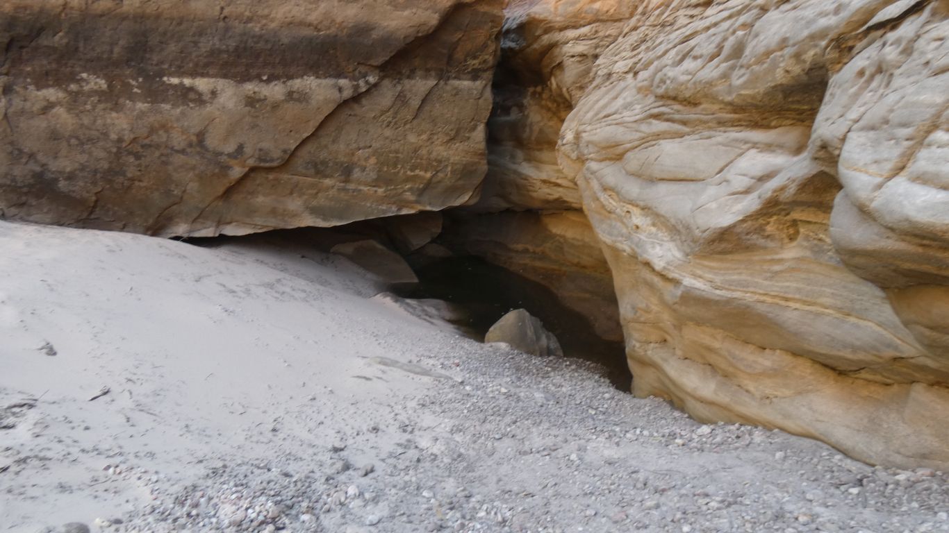
A bit of a surprise. Its reasonably clear. There are fish and small underwater beetles to assure us of the quality.
Of course we don't need it as we are carrying so much.
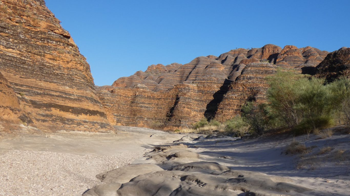
The park map has cryptic mention of "the world's most exceptional example of cone karst formations" as a reason for world heritage status. I don't know where other examples are. I'll have to revise my understanding of karst being a description of limestone. I'm already halfway there having recognised pavements which I previously thought were a limestone feature. Karst is a limestone area of Slovenia where most of the limestone geological terms originate.
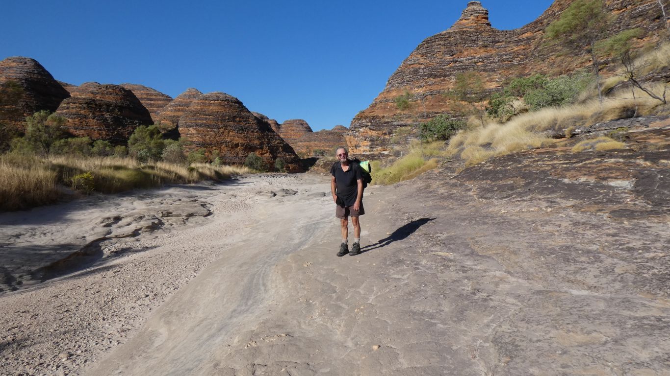
And happy to remove my hat for the photo opportunity.
I think I'll print a copy of this for my doctor. All the underlying medical conditions which plague me have fortunately not interfered with either the trip or this walk.
Even the PMR seems to be allowing me to continue (touch wood). It feels like I'm making up a bit for the lost opportunities in Nepal.
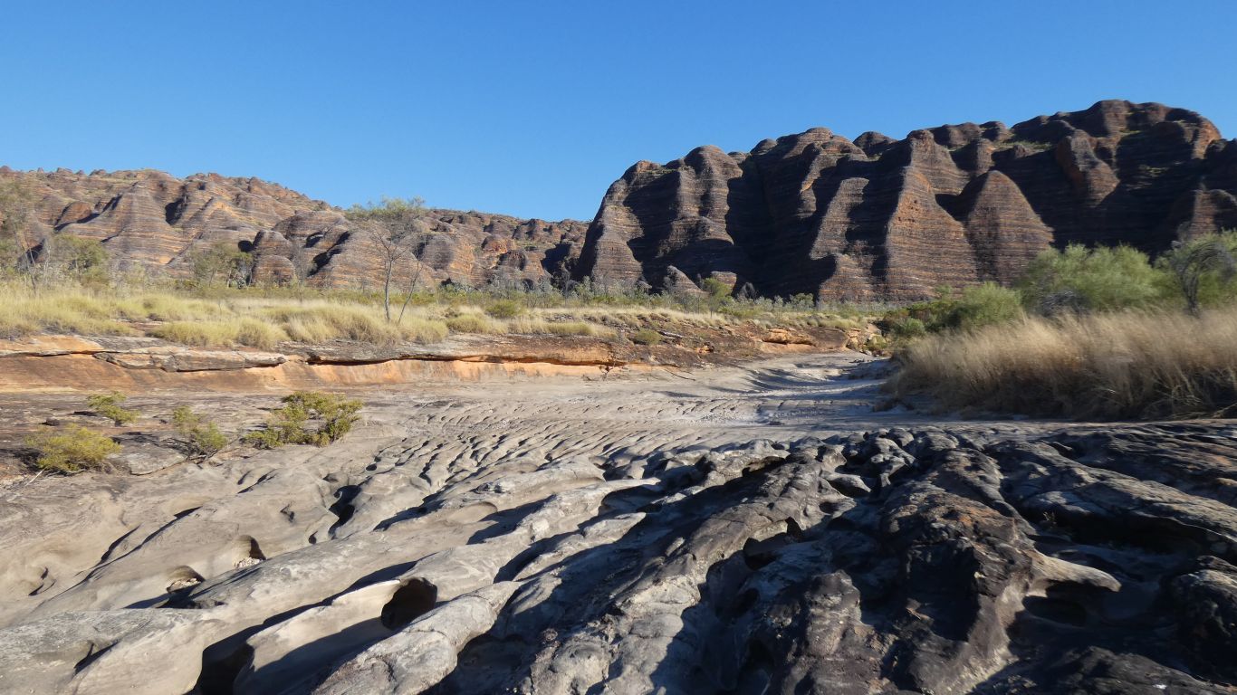
We based our plan on the park map having a distance of 8 km to the elbow then 4 km to "lots of people camp here" where side gorges begin. As we leave the car park and see subsequent signs we become aware that it is probably 10 km to the elbow.
Just a couple of km doesn't sound much but we are not as young as we used to be and we are aware that it is a big difference.
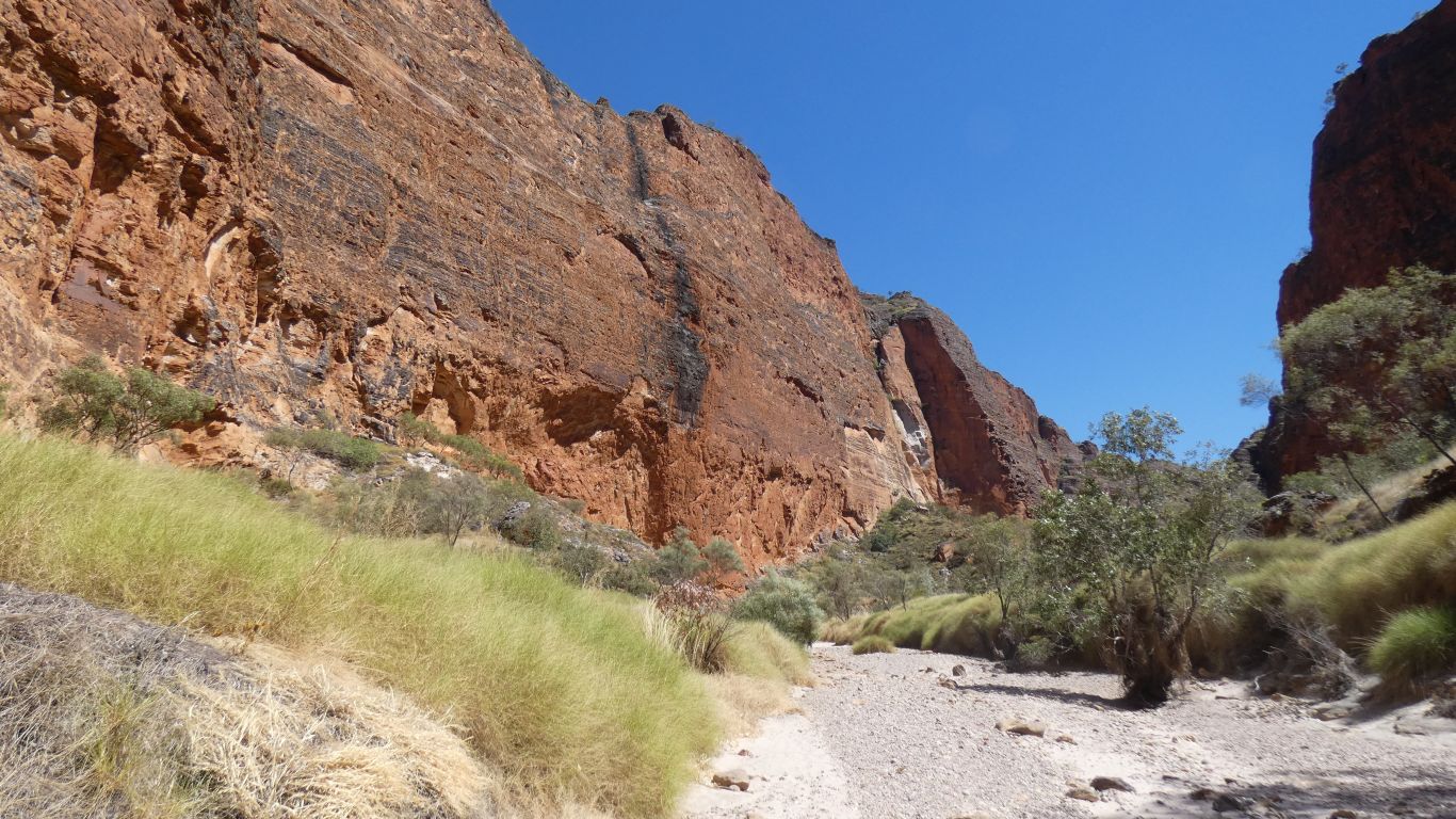
As we reach deeper into the creek the pavement gives way to soft sand and shingle. Which slows us.
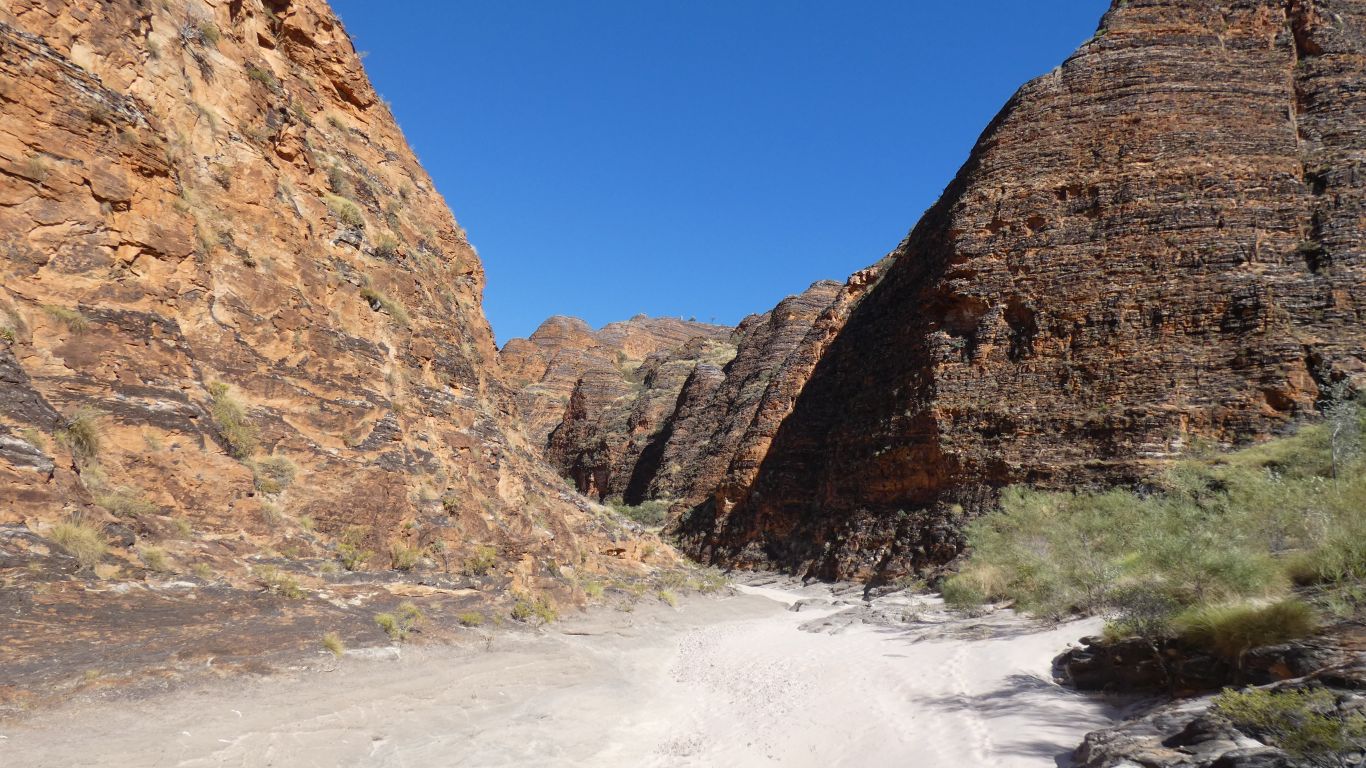
We begin to encounter "cliffs" which are eroded by horizontally flowing water.
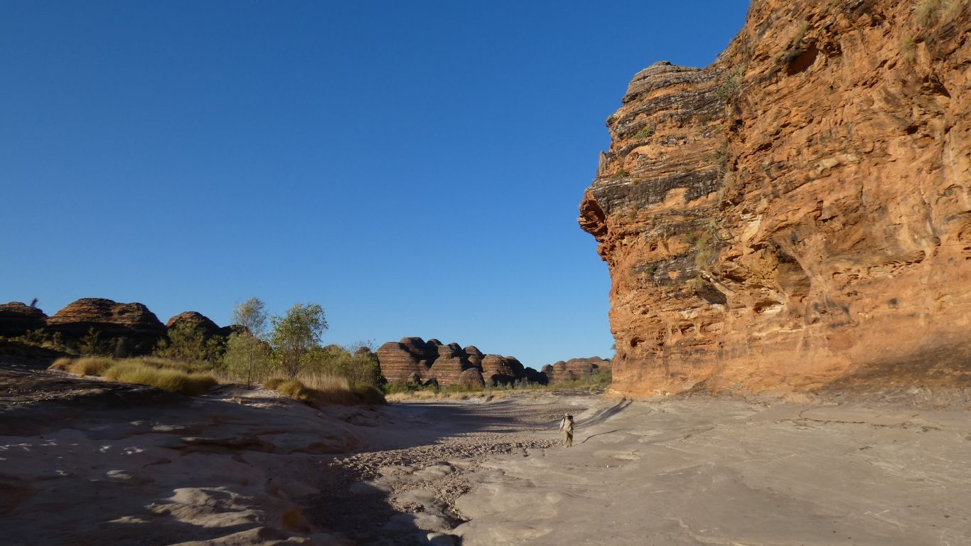
An area of the creek where it makes a couple of loops through bends edged by cliffs.
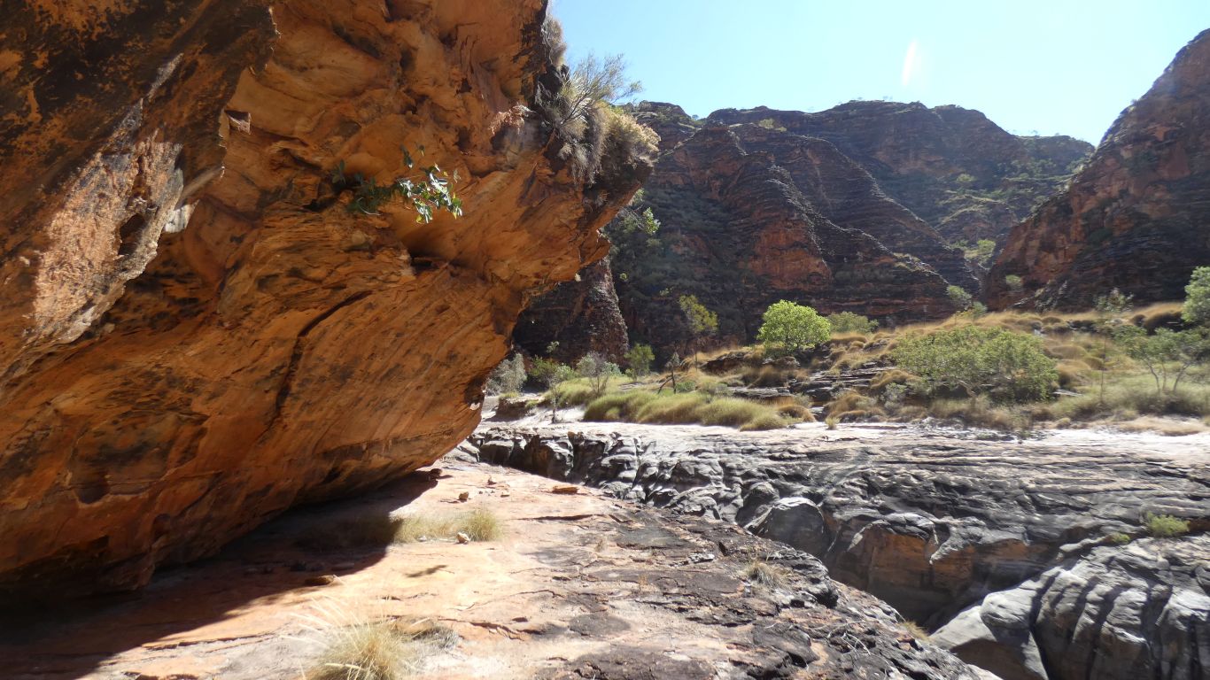
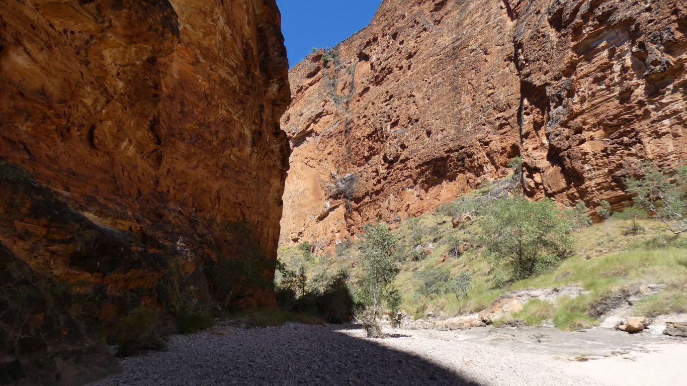
Which gives us a convenient ledge, the original pavement, to avoid the impossible to walk through narrow bit.
There are no track markers. Just the footprints of others. Once one person finds a dead end so do others. But most times the way through is reasonably obvious.
I'm taking note of the pools we pass as the beginnings of our exit plan forms.
I'm hopeful that we will be able to carry less water and slake our thirst at each pool. On the way in we need to have water where we camp. On the way out we will have all the water we need when we reach the truck.
The short scramble over rocks from the main drainage channel is at least 250m as the crow flies and our handheld gps recorded 500m.
Short is a relative term. Having become aware that we are becoming "tired" its both a welcome relief to scramble without the weight of the packs and an extra distance we were reluctant to walk.
We have become aware that the tracker is recording distances even greater than the early track signs showed. We wonder if the 4 km the map suggests to "where lots of people camp" may be 5 km or more.
We are here, and what's done is done. We can't change it. But it would have been nice to have a definitive "yes there is plenty of water at Black Rock Pool" rather than the vague "you should be ok" that resulted in carrying the water we need.
Before the elbow the creek is aligned to the north east. Which meant the shadows became fewer as the day wore on. After the elbow the gorge is aligned north west so there are shaded areas later.
Wonderful for walking in as we are in shade most of the time. Not so for walking out as we will be in full sun after the elbow.
There are hints of domes at the top of the cliffs.
There's a cooling light breeze blowing through the gorge and at 10 am the sun is still tolerable.
We are within a couple of km of camping, this could be our source of camp water.
In mountains we commonly had "jellied knees" after walking down (vertically 1,000 m) long steep tracks. This track is almost flat, with a few undulations. Its a new experience to be "staggering". Nothing serious, just aware that we are finding it harder to maintain our balance on the soft surface.
Time to stop.
Our camp is about centre of the pic. On a sand bank where the vines have been sprayed and died leaving a convenient spot for the tent. While in shade when we stopped, about 11 am, the sun arrived within half an hour. We retreated to the shade of a tree (to the left) until about 2 pm when the sun disappeared behind the left side cliff.
I did a brief reconnaissance (without pack) about a km up the gorge where I found a small pool of water. Roughly where "lots of people camp". We are also less than 1 km from the previous pool. We won't die of thirst.