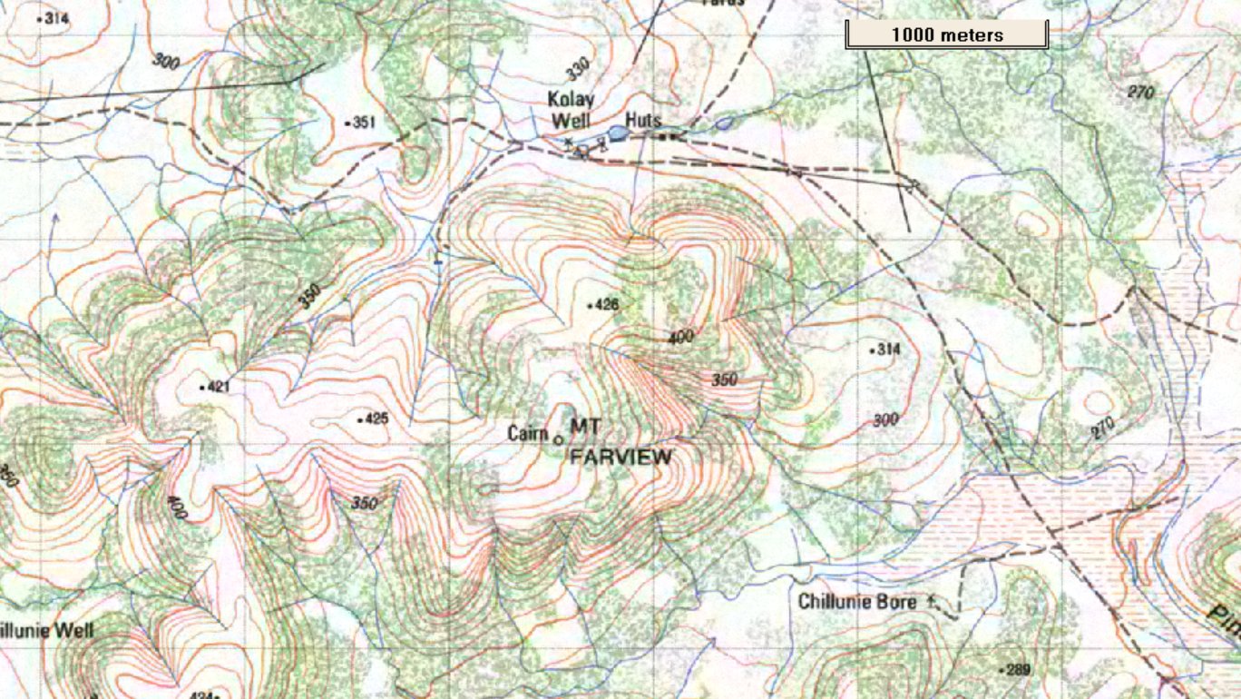
We are at about 300 m, the peak is just higher than 500 m.
Labeled on the 1:50,000 map is "Cairn".
Perhaps curiously, there are no tracks marked to the top, and no reference in park literature.
To quote the park literature - "The open landscape of the Gawler Ranges lends itself to informal walking through the true wilderness of this grandiose landscape".
We have become used to being discouraged from leaving formal tracks by National Parks, but putting two and two together we set off.
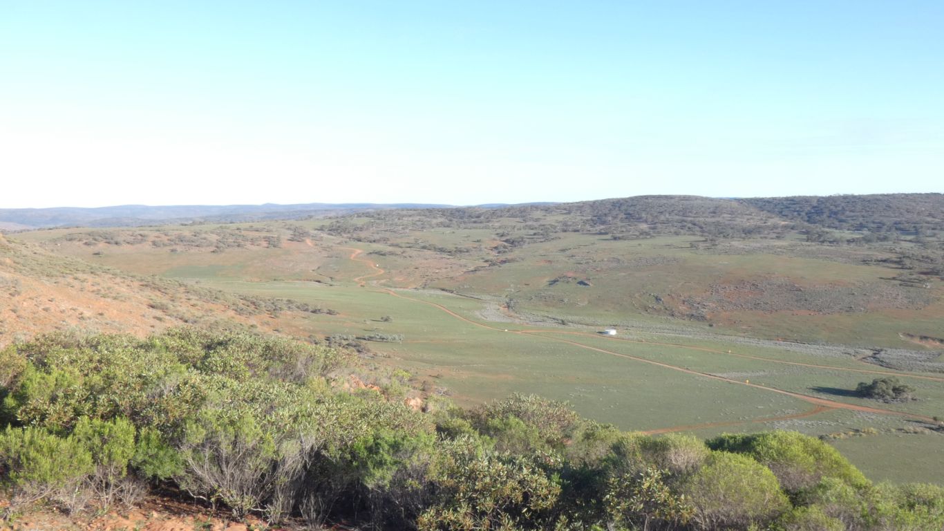
We zig-zagged up the face of the hill immediately to our south. Our aim is to reach the top of that then south south east to the summit of Mt Farview, according to the contour lines another (vertically) 80m easy walk.
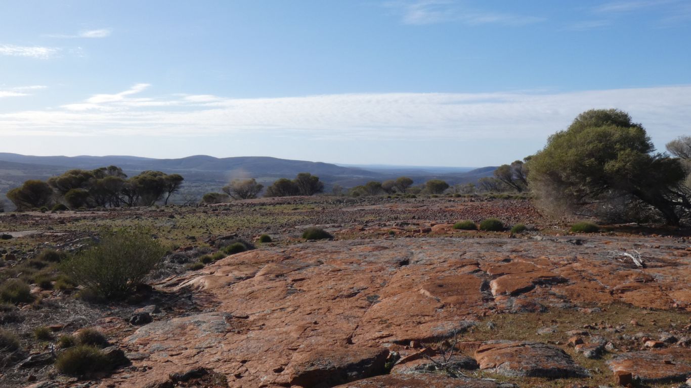
This pic is looking west.
With frequent pavement areas.
The painful calf muscle has relaxed a bit, but started in the other leg. Doesn't seem to effect walking up hill, though if it were any steeper, without "steps" I would probably struggle a bit. So far so good, most of the time I don't notice anything wrong.
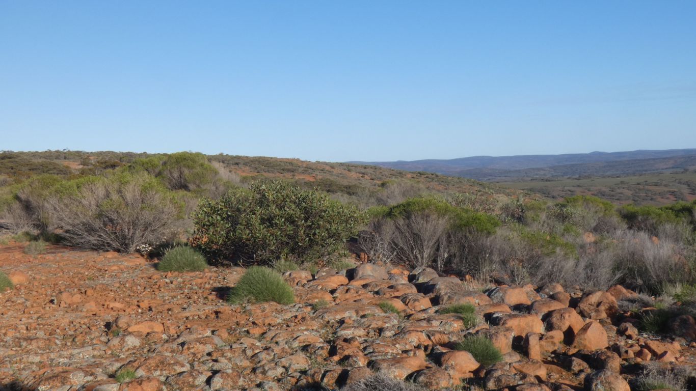
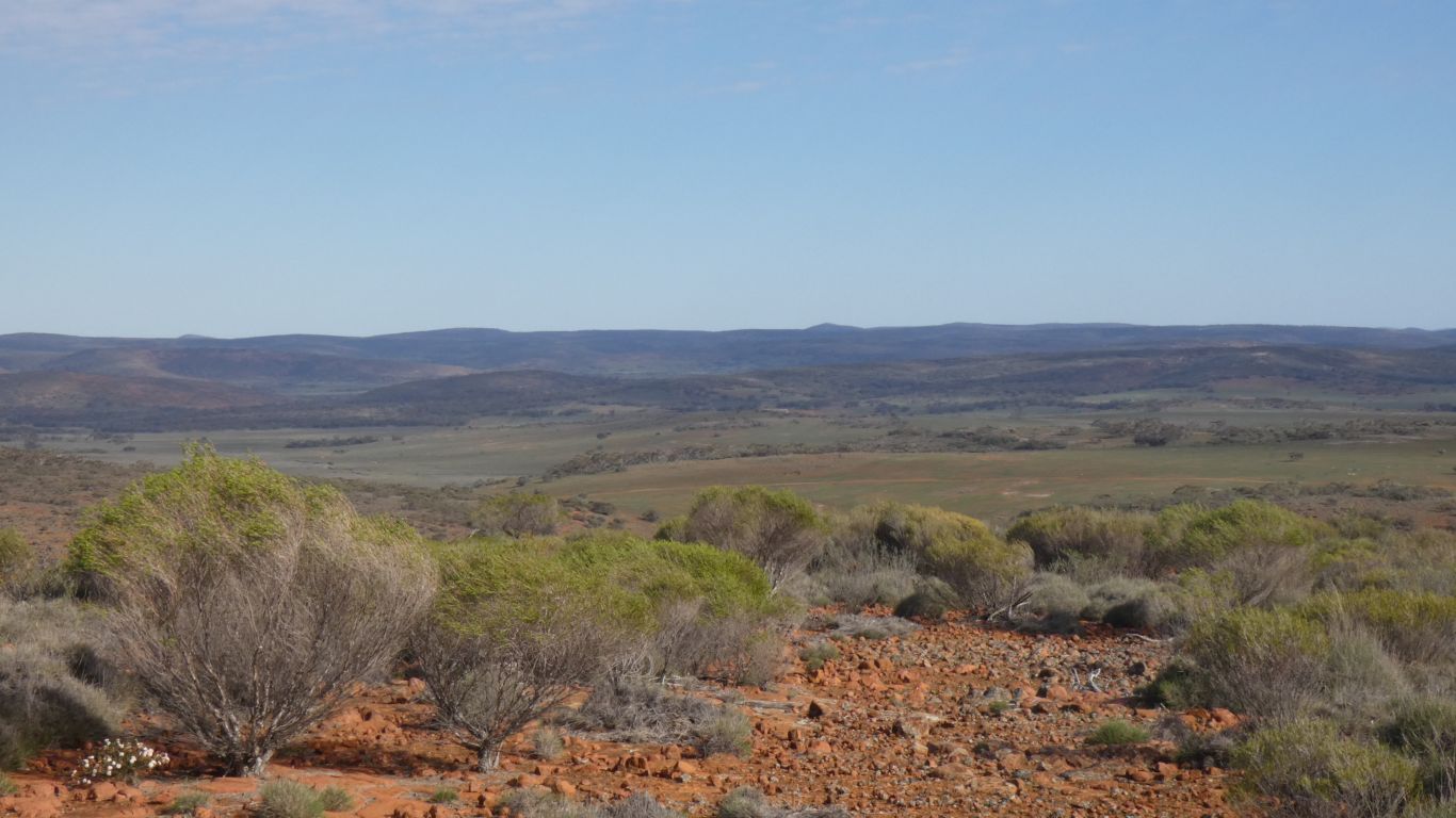
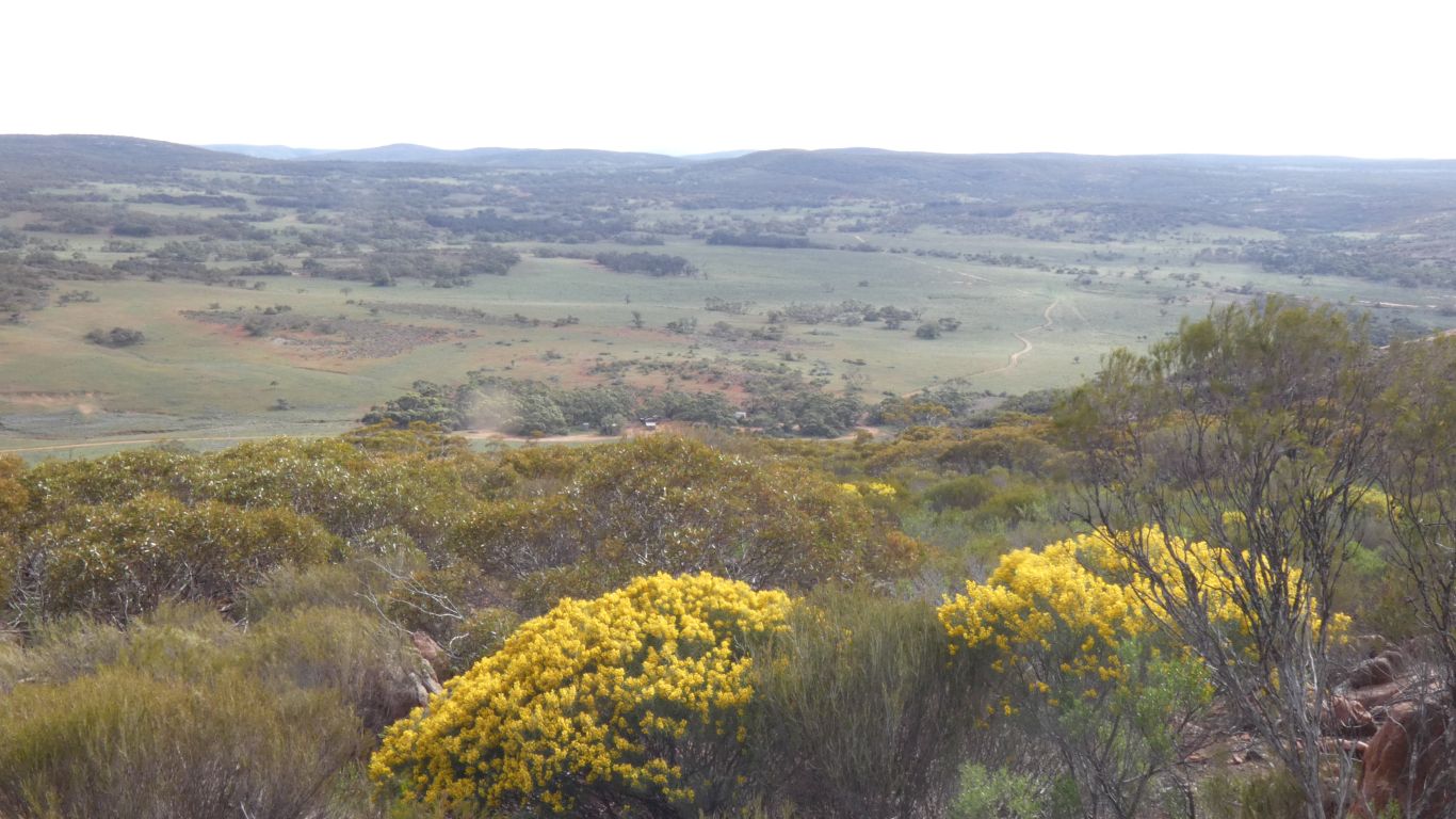
This is looking south east. Towards Chillunie Bore.
We backtracked and found the saddle between our hill and Mt Farview.
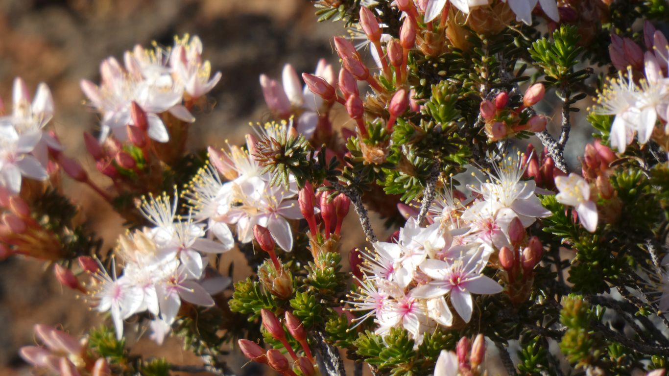
Its spring on top as well as in the valleys.
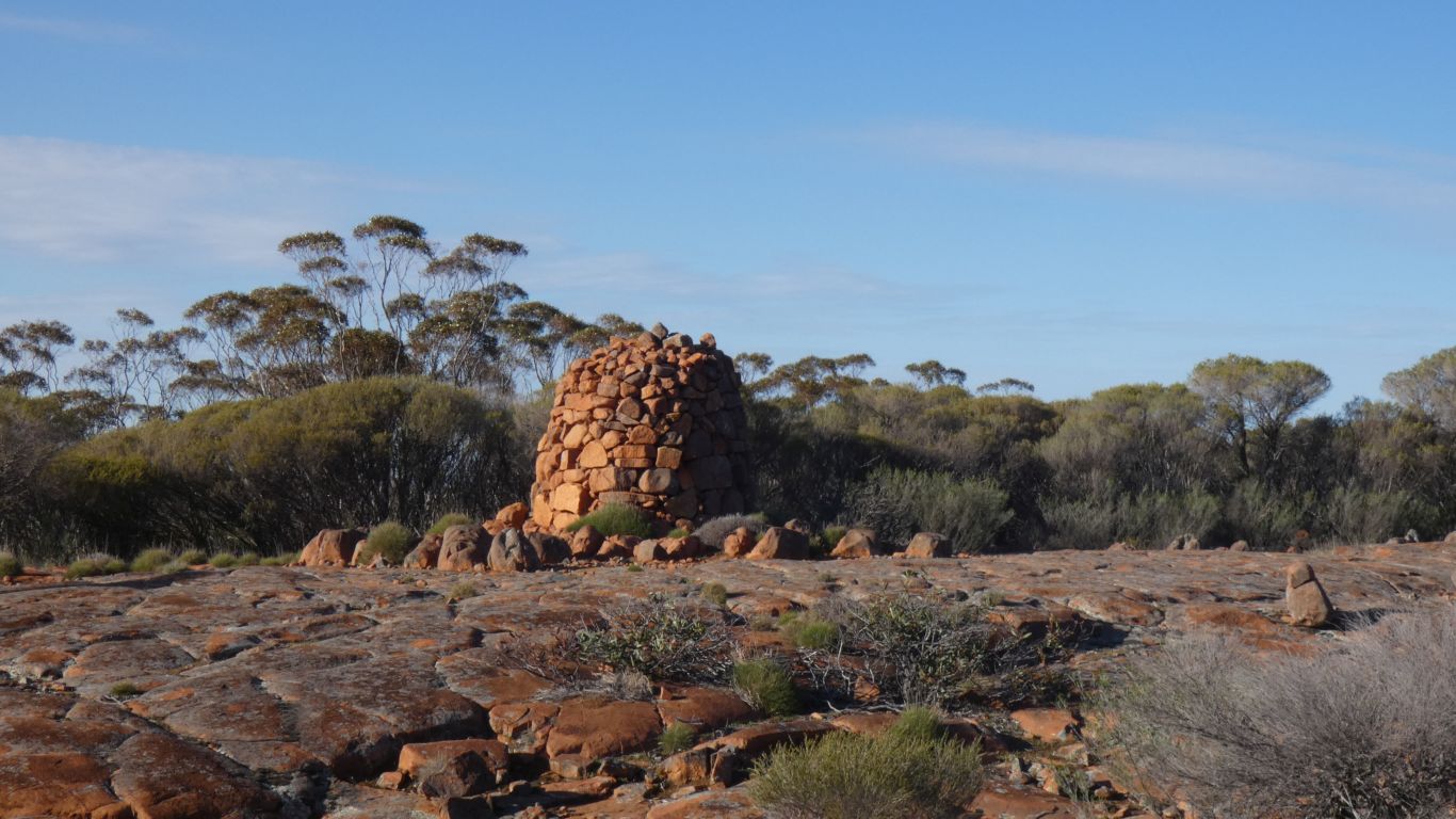
But sure enough, we beat a roundabout path between the gum trees and there it was. We were within 50m before we saw it. We didn't even need the compass, and didn't miss the broken hand held gps.
A very elegant 3m high, well built, structure. Not just a "cairn". An "edifice". Almost worthy of "folly".
Who would go to so much trouble?
But what a nice idea.
Located at -32.5700,153.5822 according to our mobile phone.
So headed down.
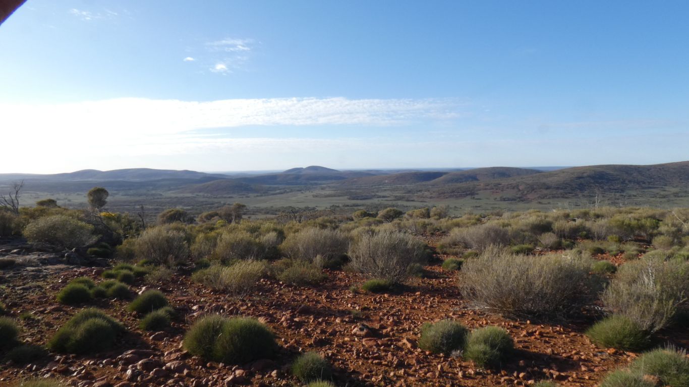
Looking east. We walked a bit further west than on the way up so skirted the edge of the hills overlooking the campsite.
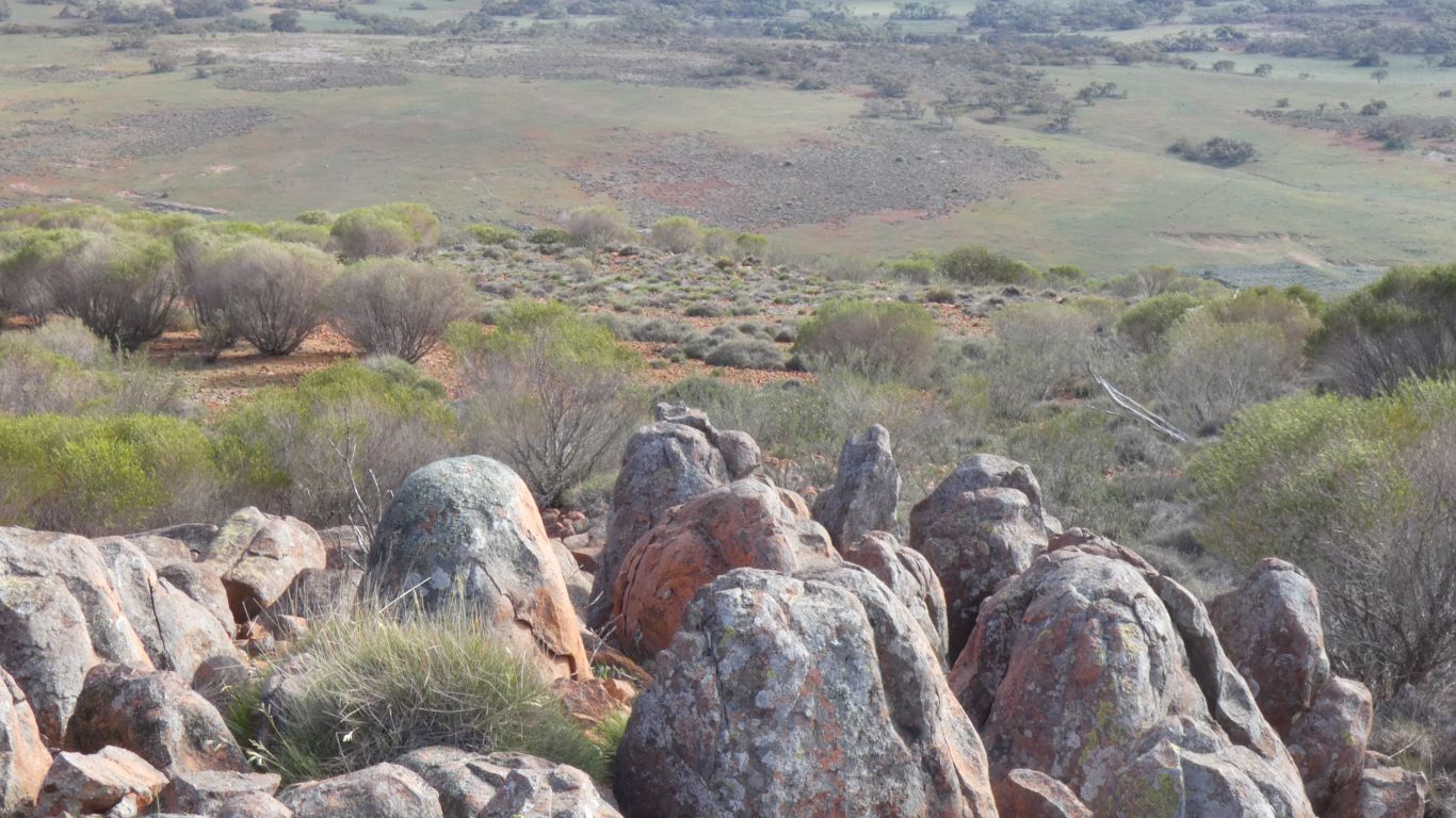
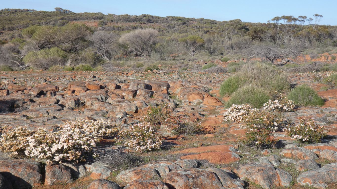
It occurred to us that this small area was Purnululu in miniature.
Cone Karst on a very small scale. And granite, not sandstone, conglomerate, or limestone.
But it does help us understand how the formations occur.
Navigating downhill is harder than uphill. Uphill we were able to aim for the single high point. Downhill we could end up anywhere. And in a former life, traversing Black Hill in England's Pennines, in heavy mist, had indeed ended up a meagre 5 miles (8 km) from the intended destination.
But now we have our campsite to aim for.
The easy option is "straight down".
Its windy today, a cold wind. My hat keeps leaving my head.
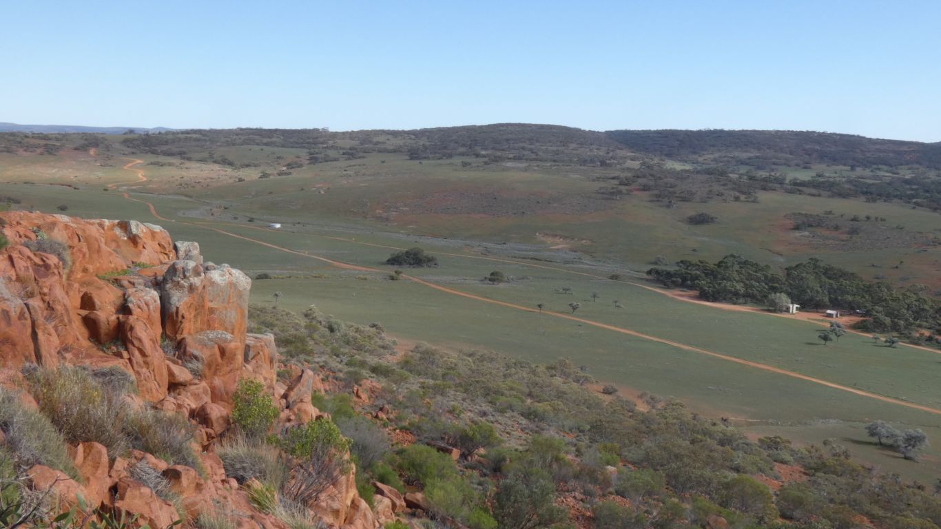
One of the several (easy) bluffs we skirted.
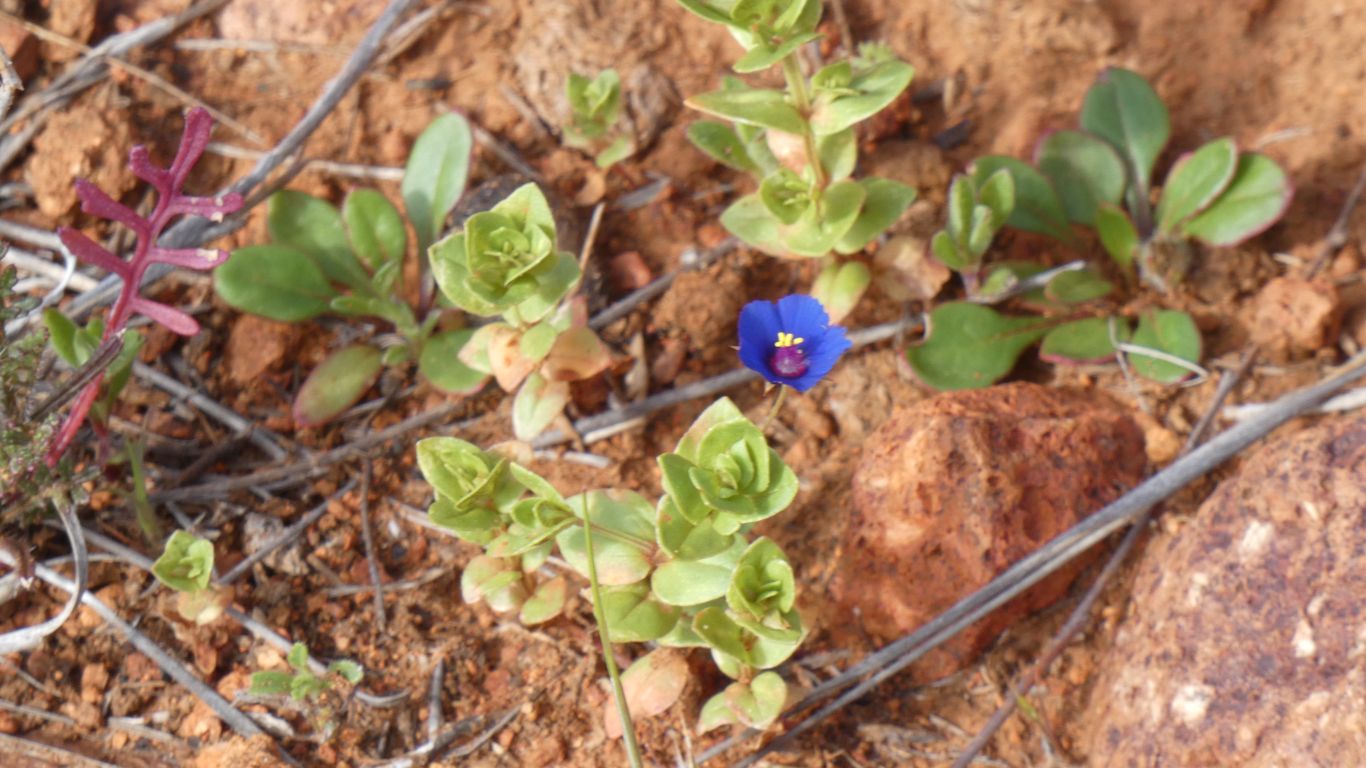
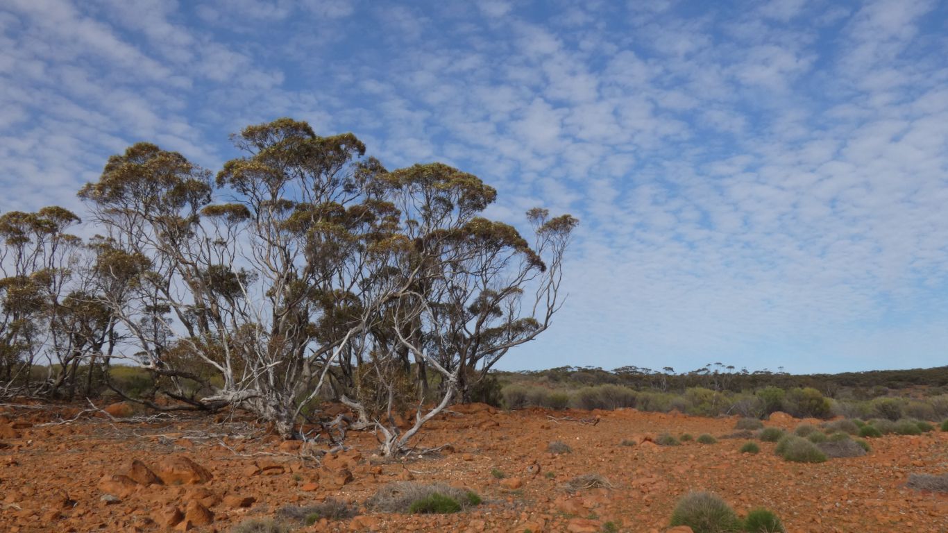
We saw only a few, less than small fingernail size, nestled between stones.
We couldn't quite see to which plant the flower was attached. But we did count to "two" instead of "three" for leaf symmetry.
A relaxed walk, we were back at the truck after 2 1/2 - 3 hours.
When we look closely at the map the patches of dense vegetation that inhibited our progress are marked.