| |
|
|
| Wollemi and Guy Fawkes River National Parks |
 |
January 14 - 19 2019 |
| |
|
|
 |
|
Our return started with a night camping near Black Springs
in state forest. The northwards towards Bathurst. Just before Bathurst we
turned north west along Limekilns Road. We missed seeing any Lime kilns.
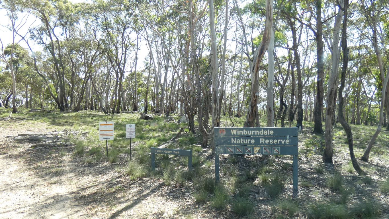
Turned onto the Mount Horrible Road. Which took us through a nature
reserve on the hill tops. |
| | | |
 |
|
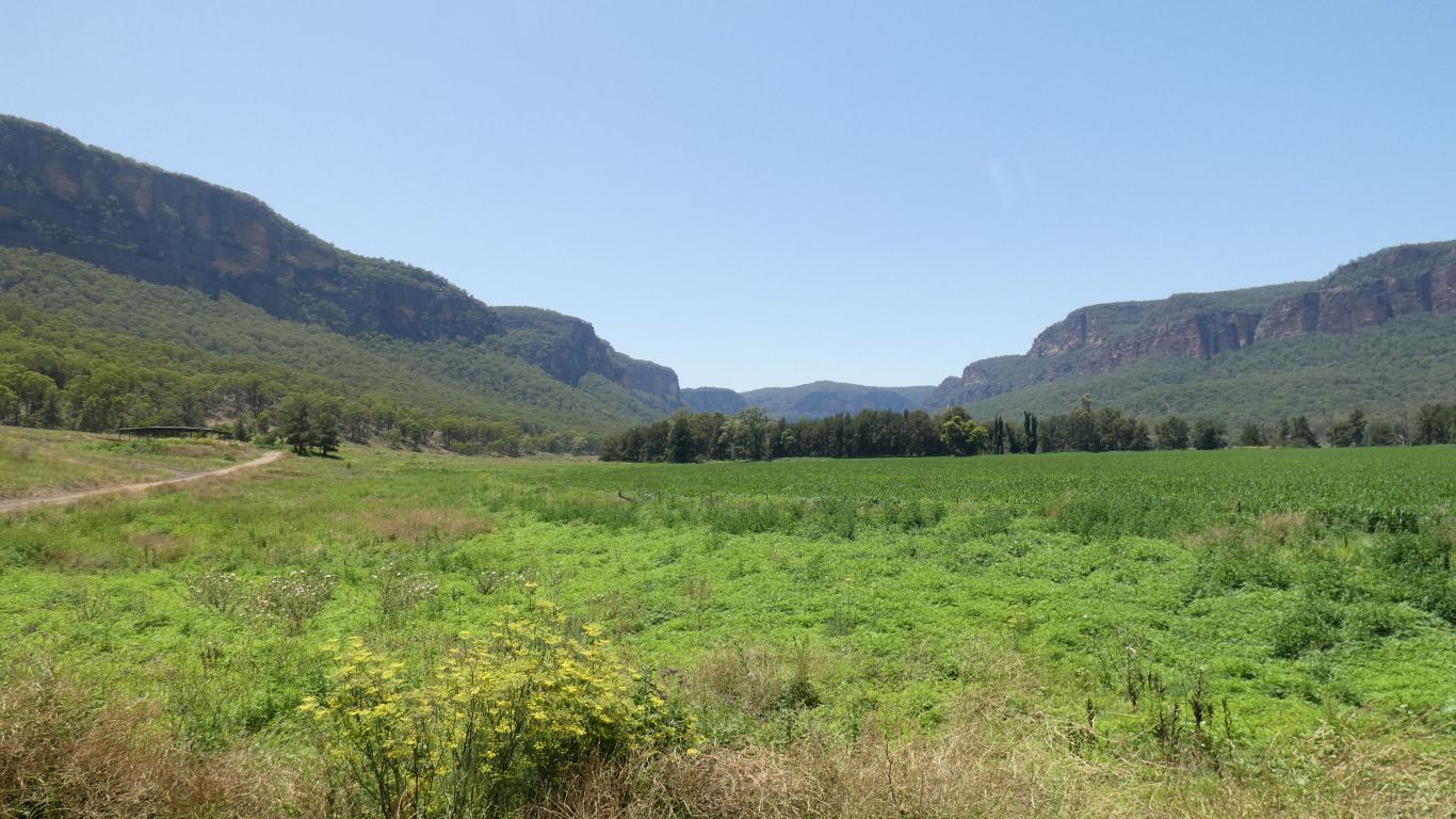
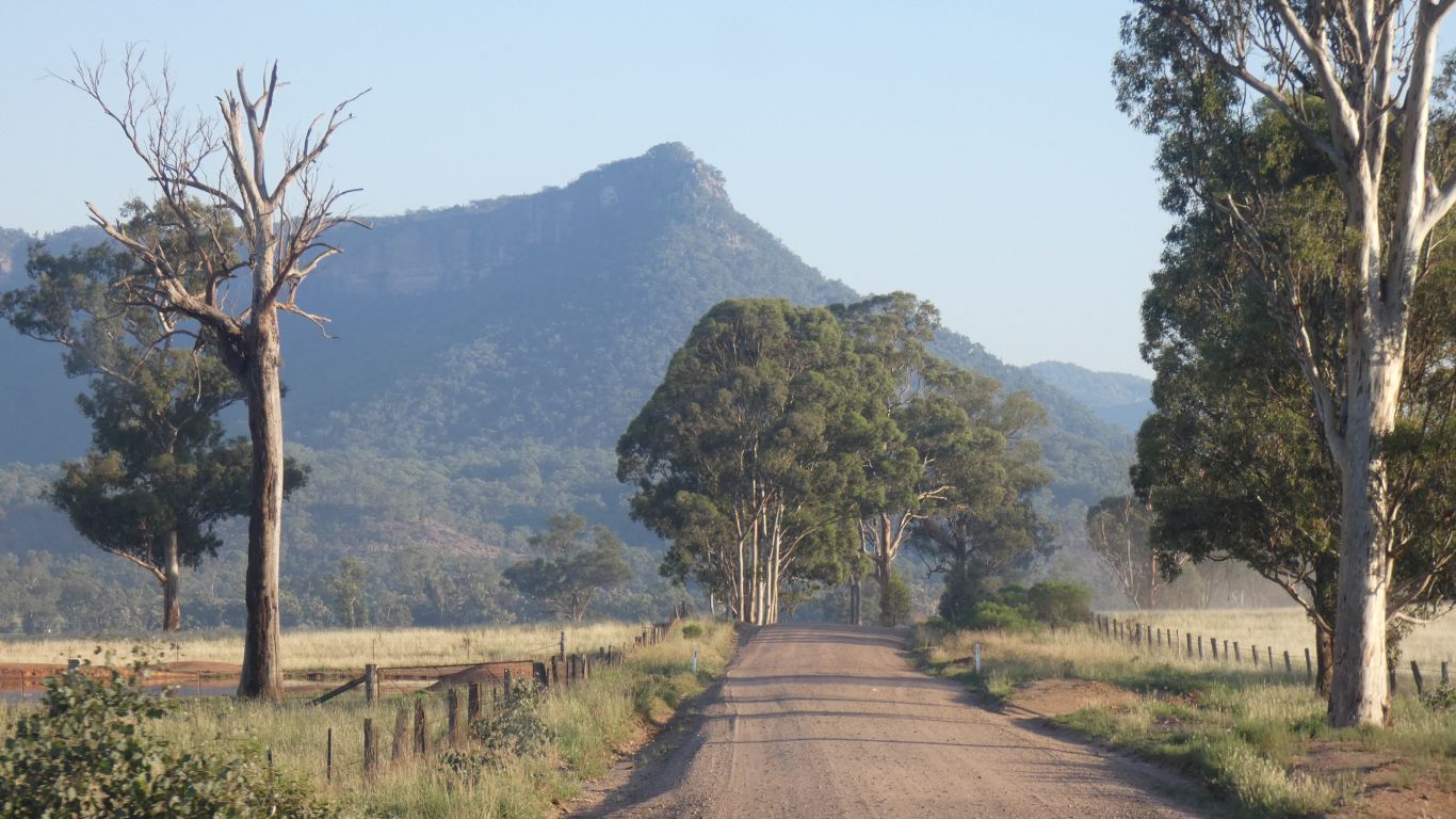
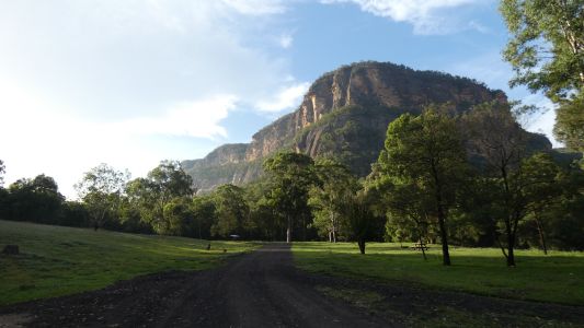
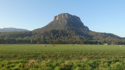
A bit steep and windy in places but eventually we emerge
from the hills to head almost due east towards Capertee. We think the
Gardens of Stone National Park in front. |
| | | |
 |
|
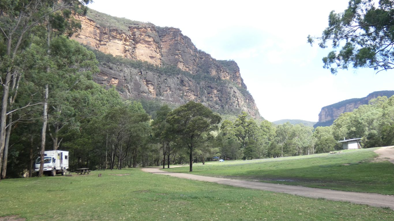
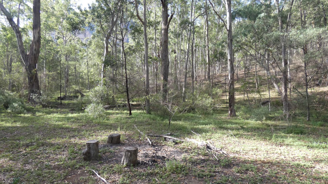
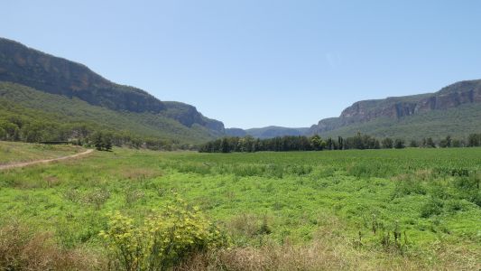
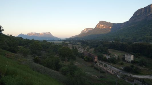
East of Capertee is Glen Davis. And just a bit further on
Coorongooba Campground. Wollemi National Park. |
| | | |
 |
|
A bit of a surprise. The Capertee River flows east, into
the mountains. It looked on the map like it was possible to walk the
length of the river. Ranger confirmed that people did that, about 40 km to
Colo, on the Putty Road. We didn't need dissuading, but if we were younger
.................. |
| | | |
 |
|
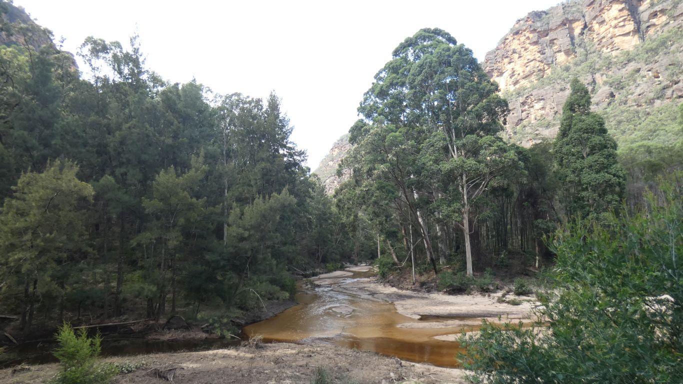
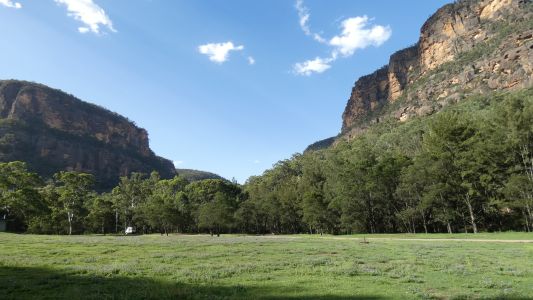
The sandstone cliffs are about 200 - 250m high. Part of the
Sydney basin. |
| | | |
 |
|
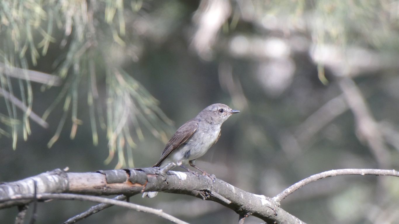
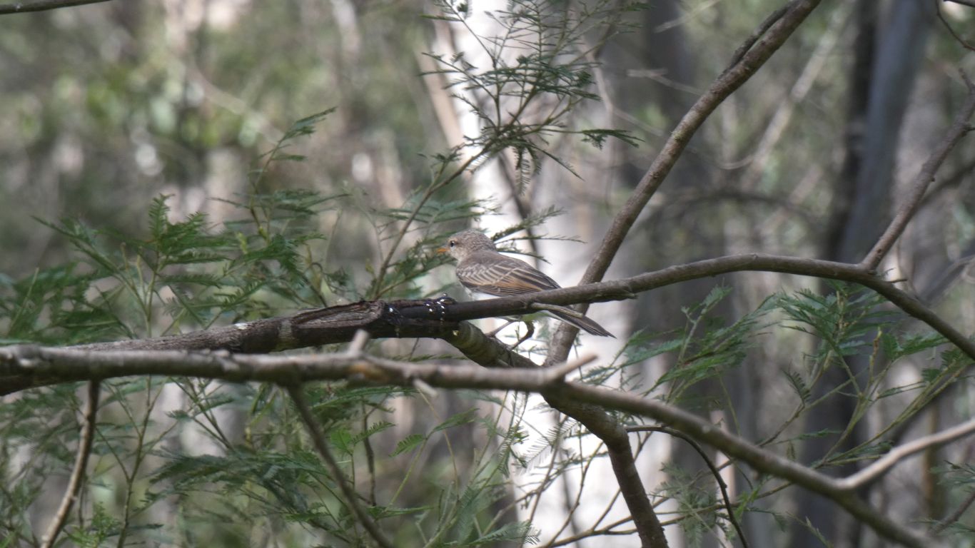
Had to wait a long time for birds to emerge. |
| | | |
 |
|
And the platypus never emerged. Nothing to do with how
impatient I am, and with a camera that's not very good at focusing in the
dark. |
| | | |
 |
|
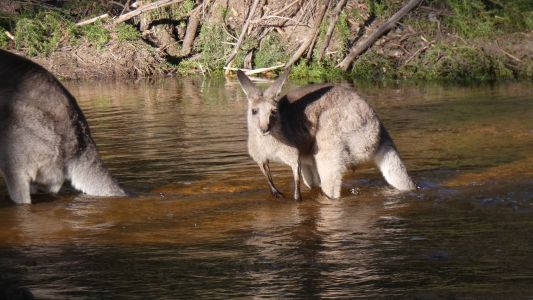
There were about 50 kangaroos eating the campground grass
each evening. Some had to cross the river to reach the grass. They were
very hesitant, even though the water was warm. They knew I was watching
which probably slowed them down a bit.
Some just hopped through the water, but created blurred pics. This mum
and young waded through.
I was equally adventurous and visited the other side. |
| | | |
 |
|
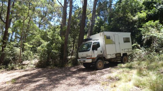
We walked about 7.5km to the end of the service trail.
Someone had camped here. The end is another few hundred meters. Despite
setting off about 6am when the air was still cool by the time we returned to
truck it was 11am and becoming hot. Mid afternoon it reached 40 degrees C.
We carried a few litres of water each and the locator beacon, so of course
no mishaps. |
| | | |
 |
|
A few birds along the way. Still no bird book. |
| | | |
 |
|
The cliffs are hard to take pics of through the trees. The
best I could do was stand on a rock in the middle of the river. |
| | | |
 |
|
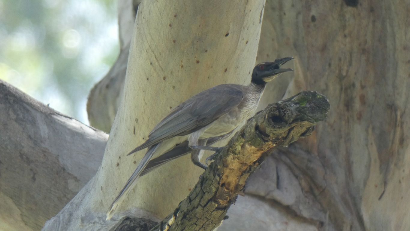
Perhaps one of the more evil birds we've seen. Yup, we left
the bird book at home. |
| | | |
 |
|
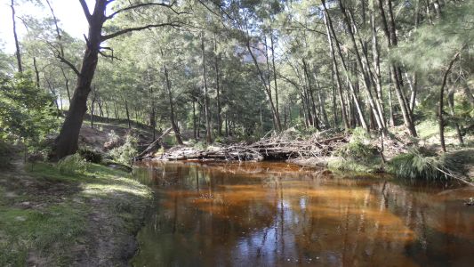
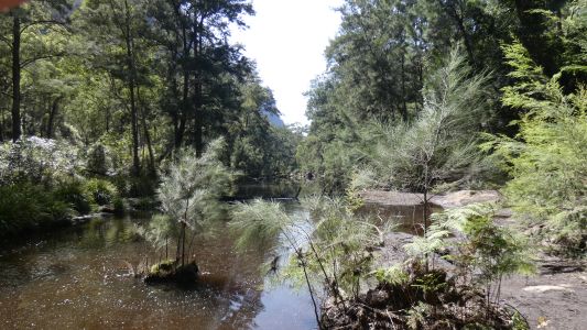
Running Stream joins the Capertee River near the entry to
the campground. A clear stream with lots of water joining the tannin
stained Capertee River with much less water. |
| | | |
 |
|
The sun set slowly in the west. |
| | | |
 |
|
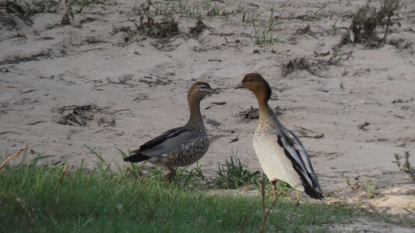
The ducks kissed each other goodnight and flew away. |
| | | |
 |
|
The last of the kangaroos hopped across the river. |
| | | |
 |
|
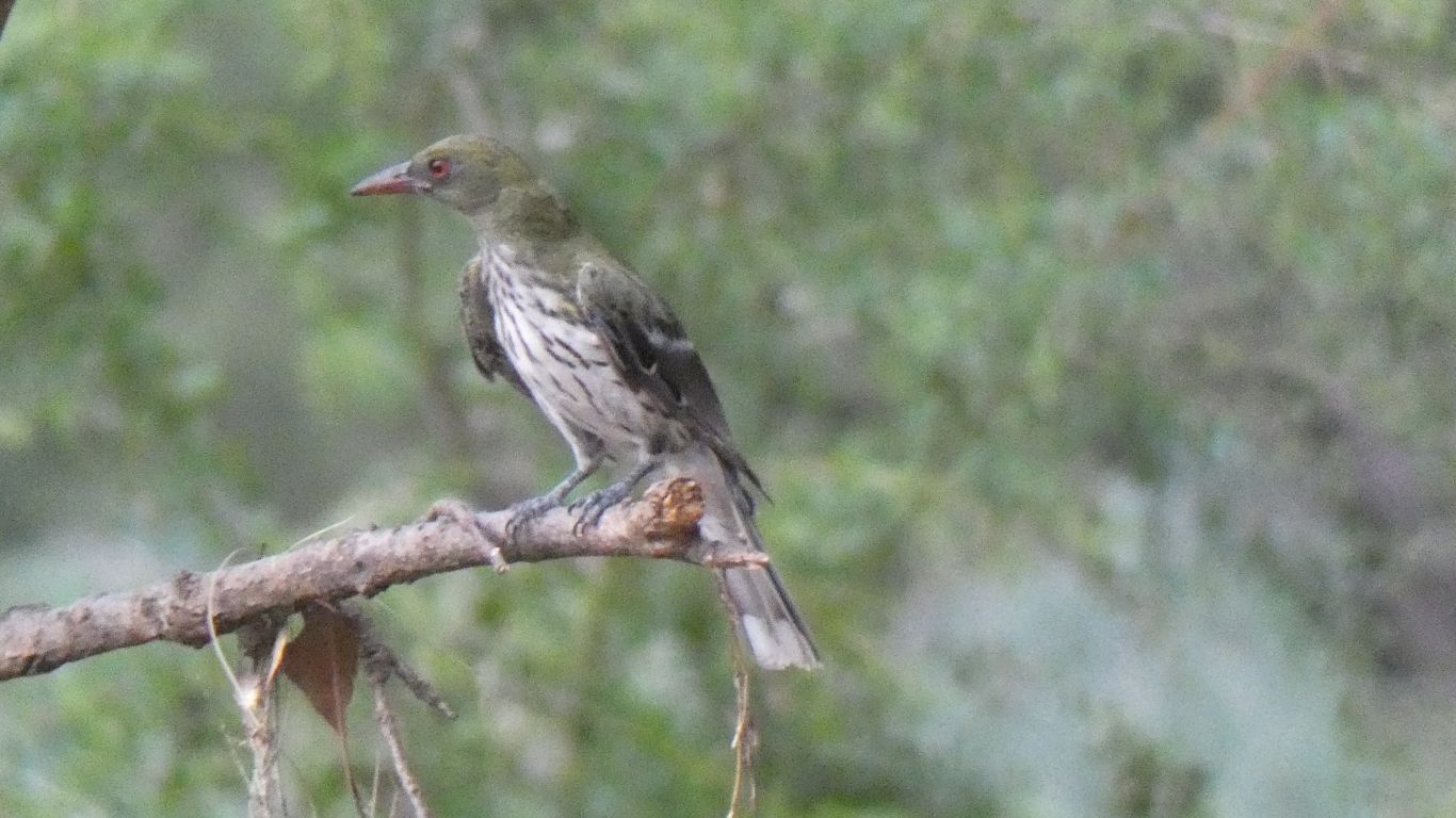
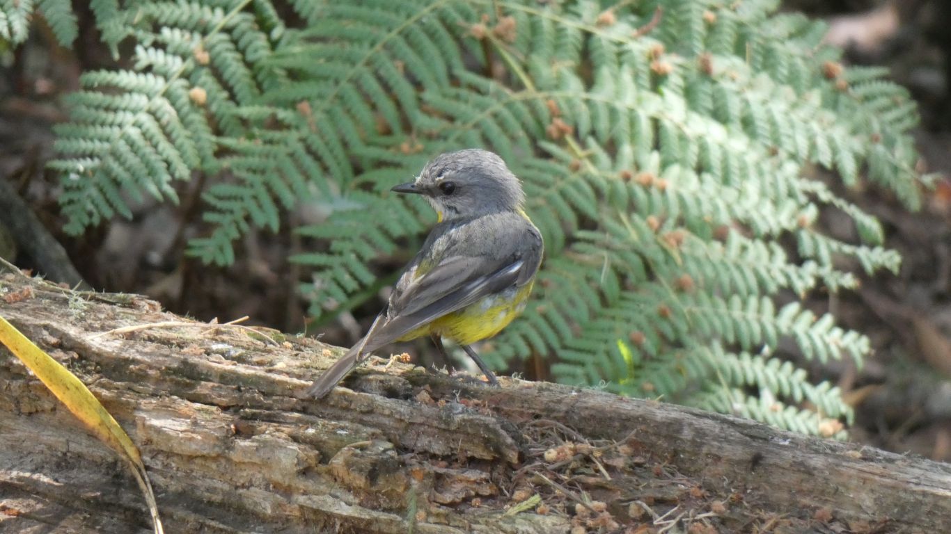
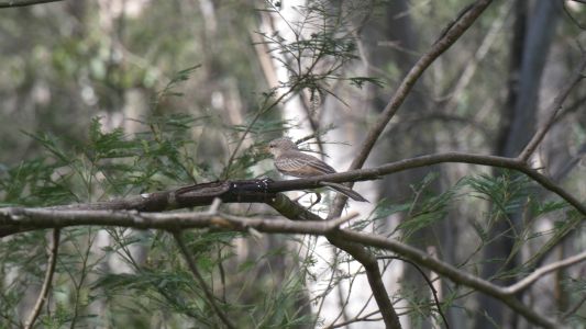
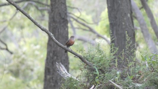
And an olive backed thingo posed for us. |
| | | |
 |
|
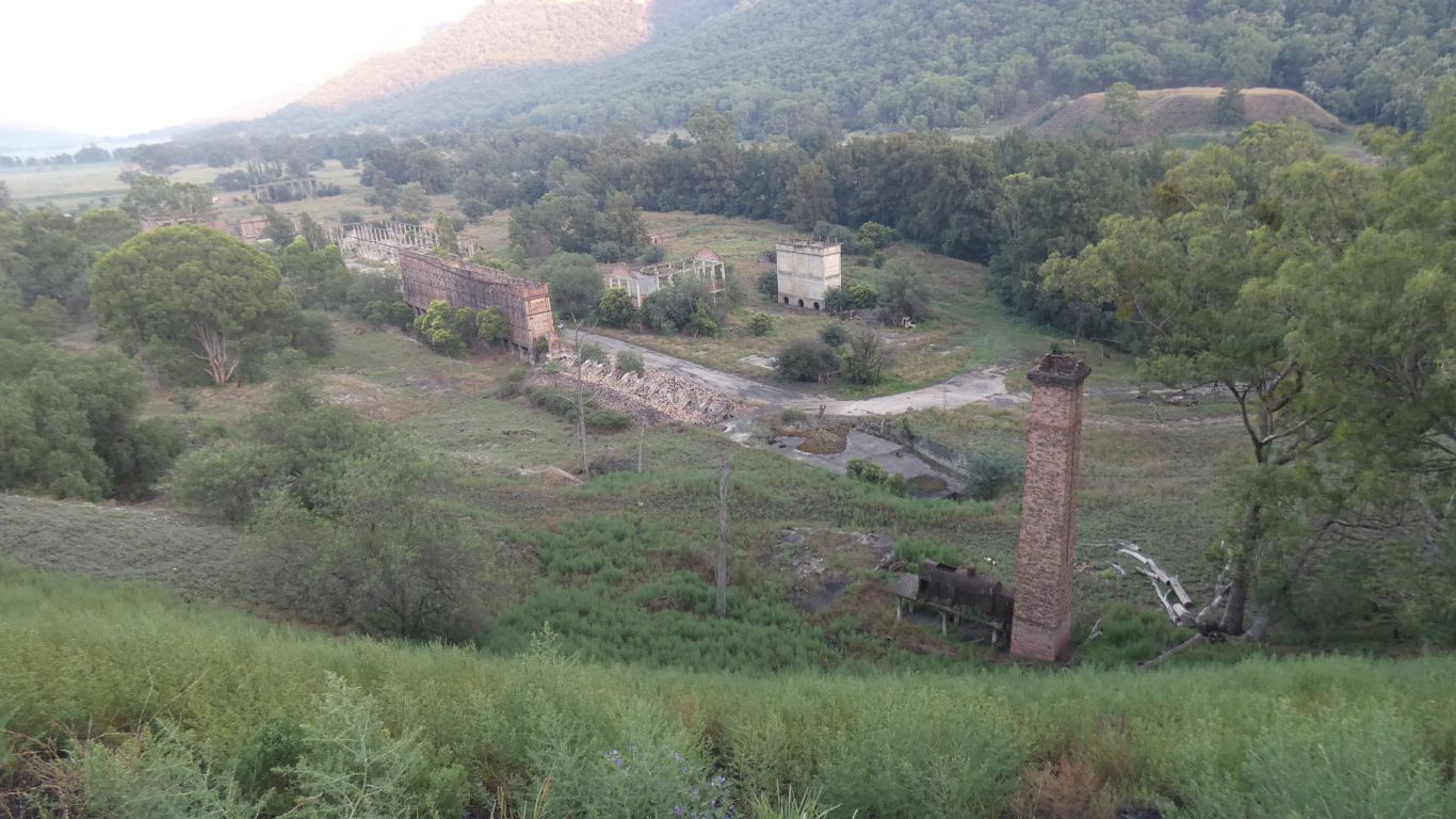
Up and away at the crack of dawn. A quick look at the Oil
Shale plant. Retorts closest to us, exhaust gases ducted to the chimney,
probably assisted by the stationary steam engine. A war time venture to
supplement limited oil availability. The quarry is below us to our left. |
| | | |
 |
|
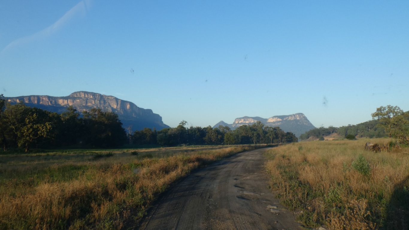
The sun picked out the cliffs nicely for us. |
| | | |
 |
|
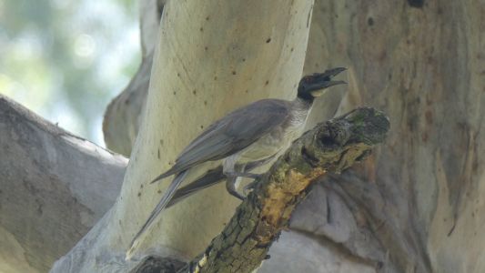
And the rock warbler warbled for us. |
| | | |
 |
|
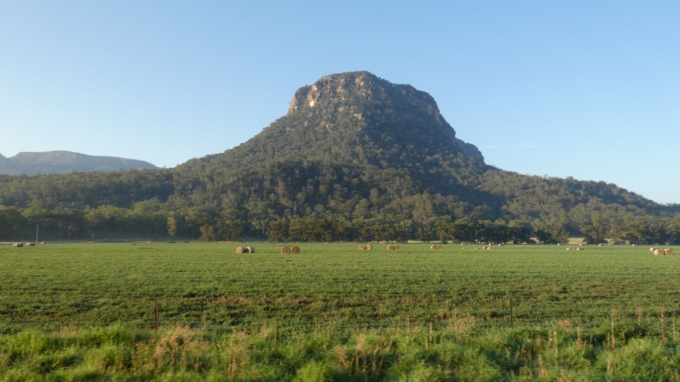
This early in the morning really does highlight the cliffs. |
| | | |
 |
|
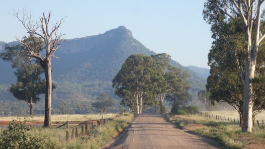
And promontories (though Ali was taking a pic of the hay
bales). |
| | | |
 |
|
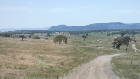
We headed north towards Rylstone. |
| | | |
 |
|
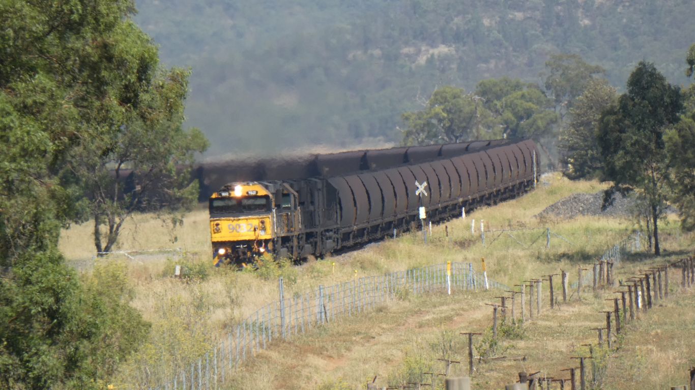
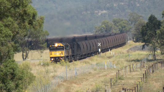
Through the Bylong Valley, seeing a coal train at last. |
| | | |
 |
|
A night in Armidale, then onward again, towards Guy Fawkes
River National Park. Parked at the end of the track in Mt Hyland nature
reserve where we walked the 3km round trip to the top and back.
It was July 2010 when we were last here. A story of being stuck on our
first trip, when we discovered the 4wd didn't work.
Our experiences since showed as we took a wide swing round the angled
tree that caught us out last time and arrived at the turnaround with ease.
Descending was equally without incident. |
| | | |
 |
|
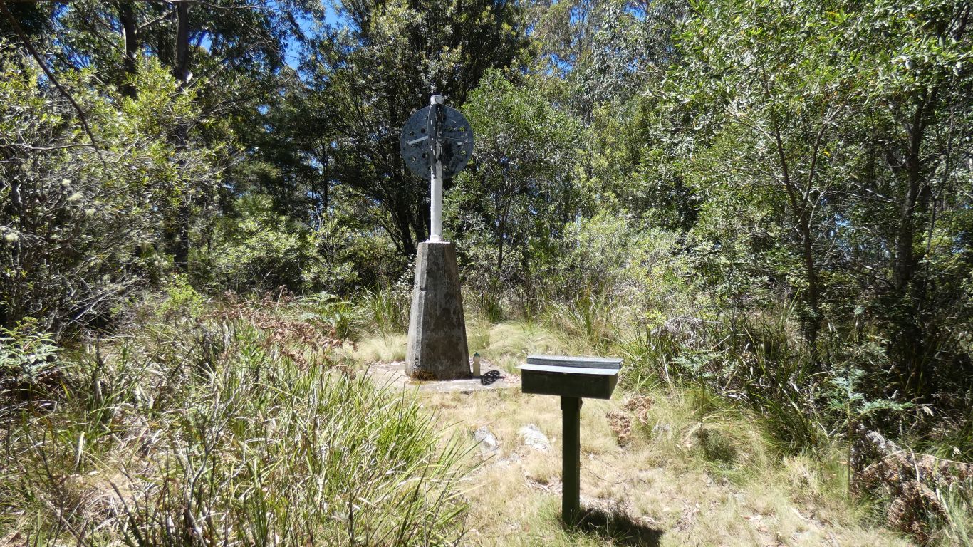
The trig point at the top has become more overgrown. No
hope of taking a pic of the view. Just a sign with pic to show us what we
were missing. Nice to find our 1/7/2010 entry intact in the visitors book.
So we added another entry. |
| | | |
 |
|
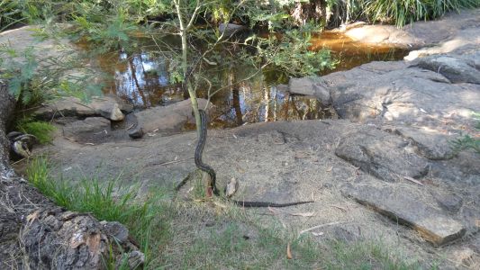
On to Chaelundi Camping Ground in Guy Forkes River National
Park. We were also here in that first truck trip in 2010.
This time greeted by an empty campground and a python dangling itself
from a small bush. |
| | | |
 |
|
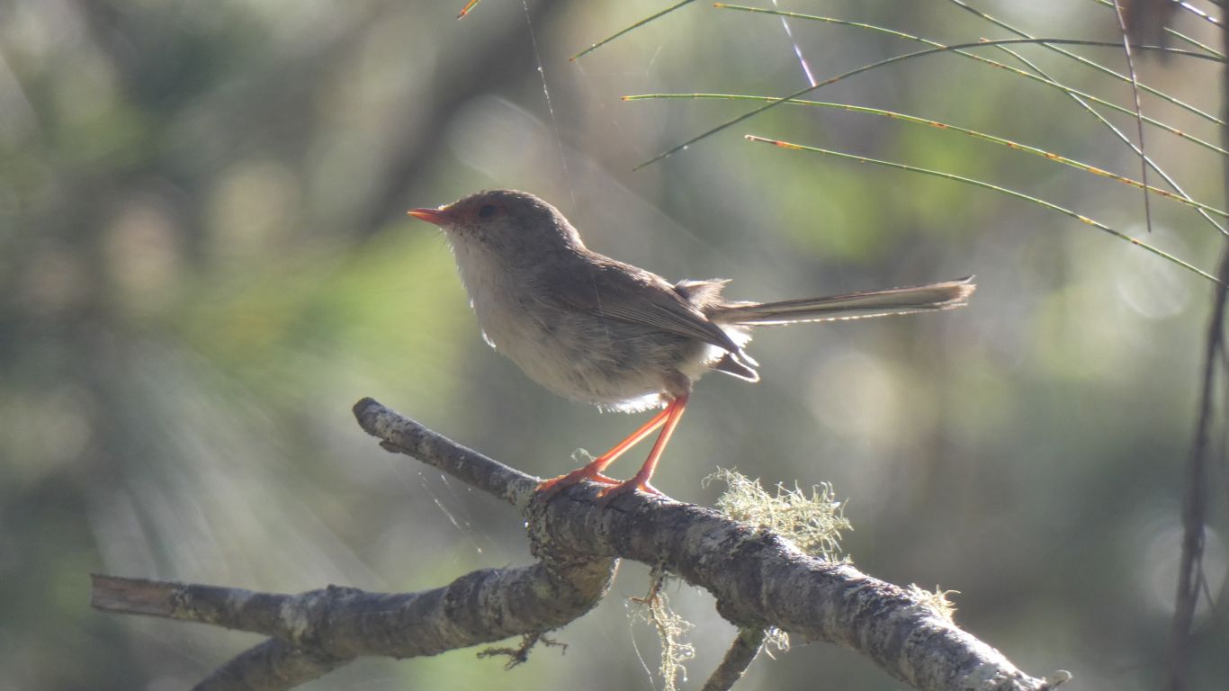
But much more appreciative of the wren population. |
| | | |
 |
|
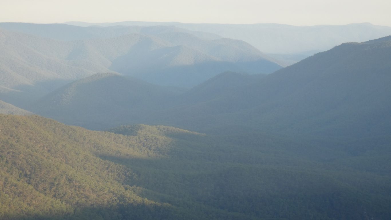
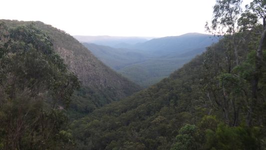
Up early. A walk to Lucifer's Thumb lookout. Again! A quick
snap as we passed Chaelundi Falls. No water. The area is very dry. |
| | | |
 |
|
Looking south. |
| | | |
 |
|
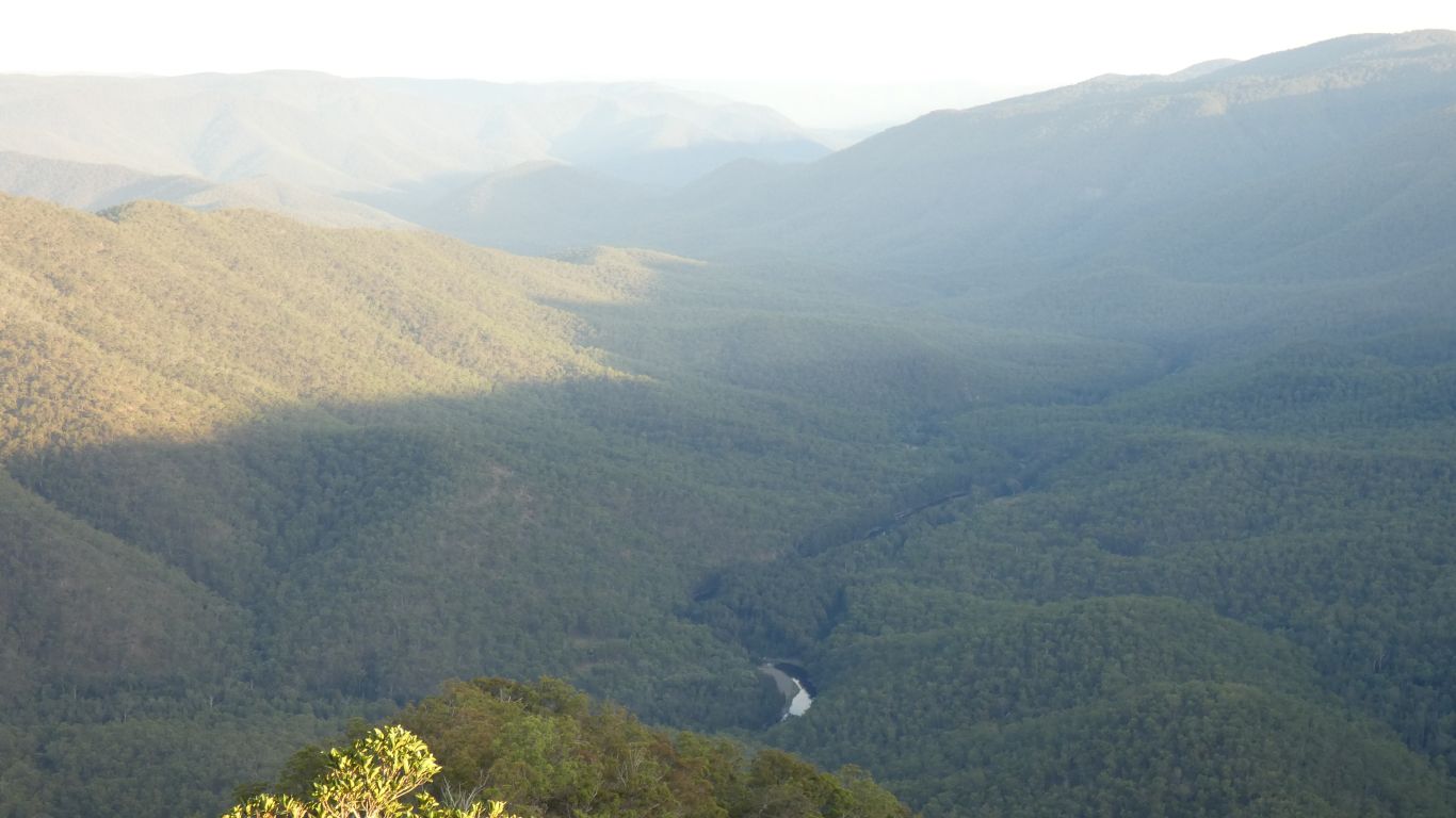
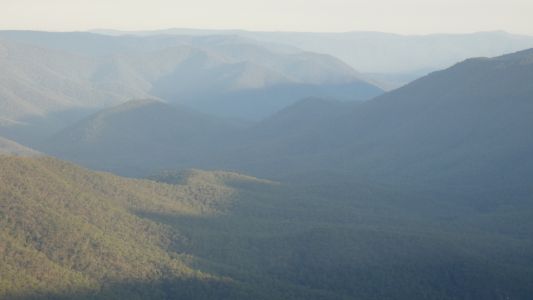
Looking north. A bit hazier than last time. Probably due to
the high temperatures. |
| | | |
 |
|
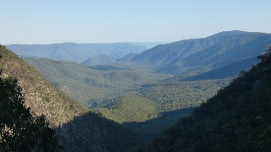
And the other view, the one from Wurrang lookout, looking
south. I later returned to make a phone call, just a km from the
campground with good signal. |
| | | |
 |
|
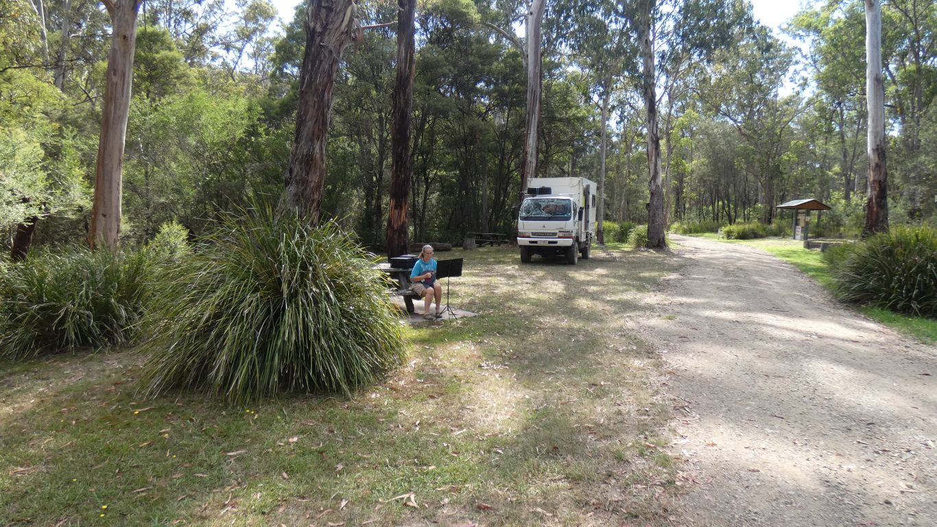
On my second return Ali had set up for mandolin practice.
Just us, the birds, the wallabies, and the trees for an audience. No
breeze to disturb the music on its stand, a pleasant interlude. |
| | | |
 |
|
Oh, and a yellow robin listened in. |
| | | |
 |
|
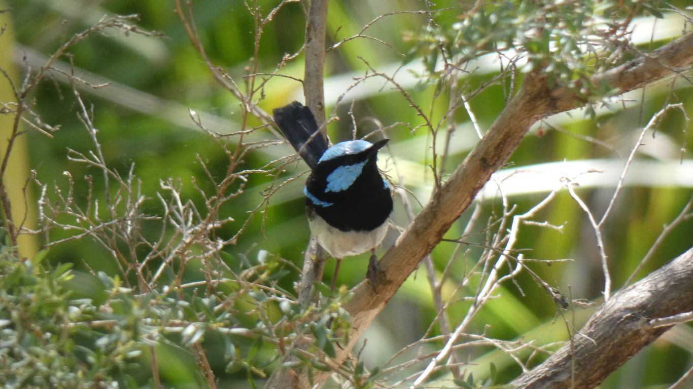
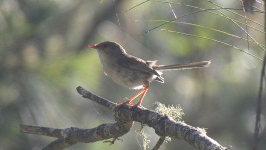
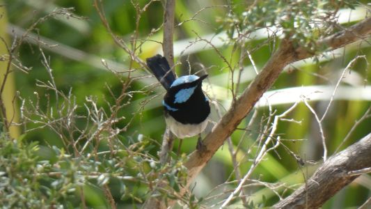
To say nothing of the male wren. Slightly different
markings to the ones at Nymboida a few weeks ago. |
| | | |
 |
|
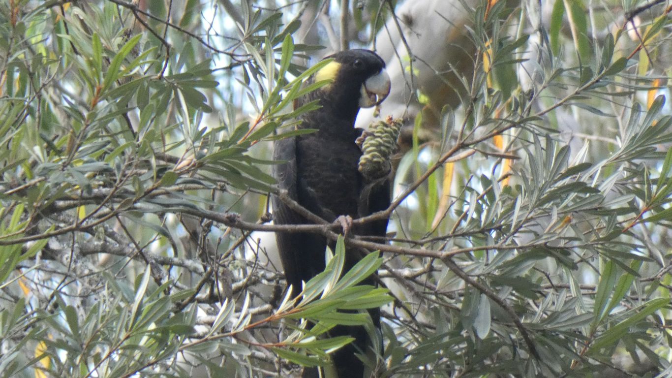
And much later, three black cockatoos. Munching on the
forest oak nuts. The forest oaks look like river oaks which look like desert
oaks which look like casuarinas to us. |
| | | |
|
|
|
| | | |