Undara National Park May 27 - 28 2019
 
  North on the Kennedy Development Road. A grey day. We meet patches of unsealed road.
     
  Made a bit slower than expected by occasional rain.

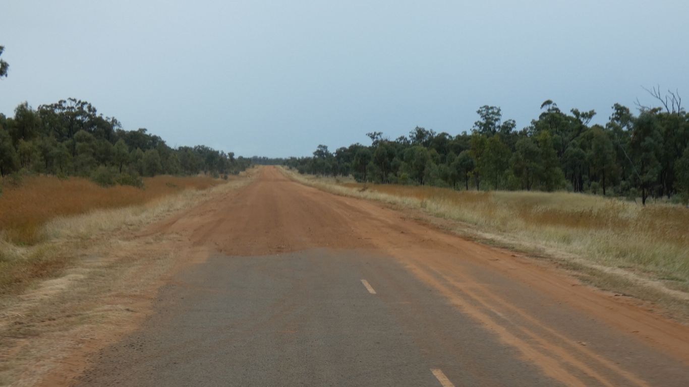
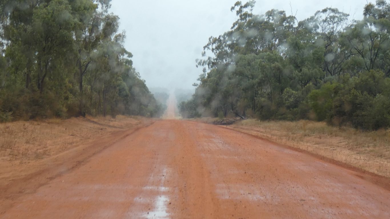
Not enough to make the surface greasy. Though 4wd helped through some parts.

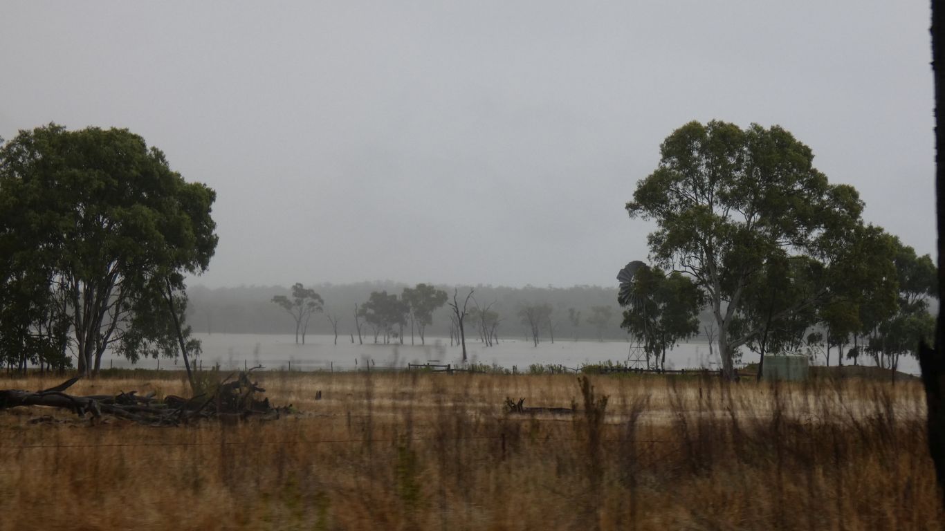
Definitely not enough sun for the solar to recharge batteries.

     
  But some delight found in the light through the trees. Though in a chance encounter later we discover that some of the grasses originated in South Africa.

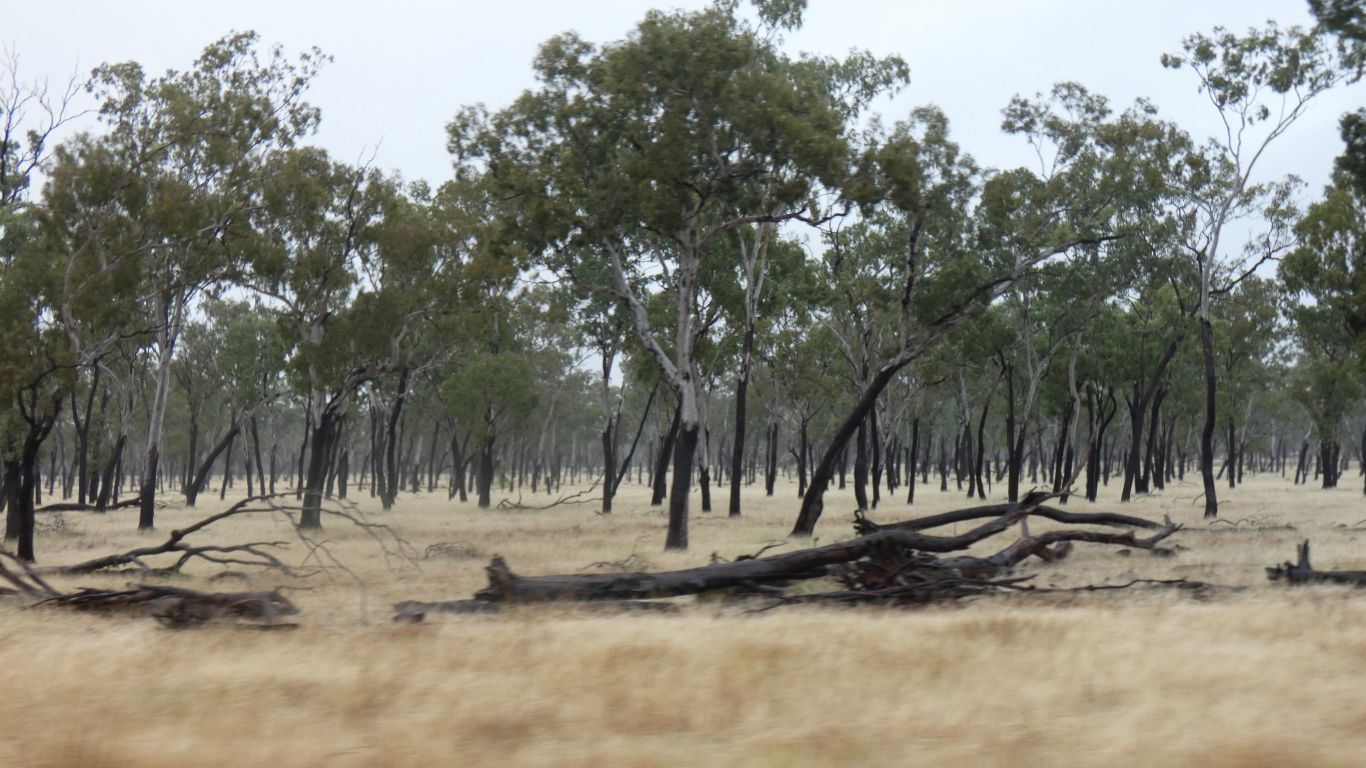
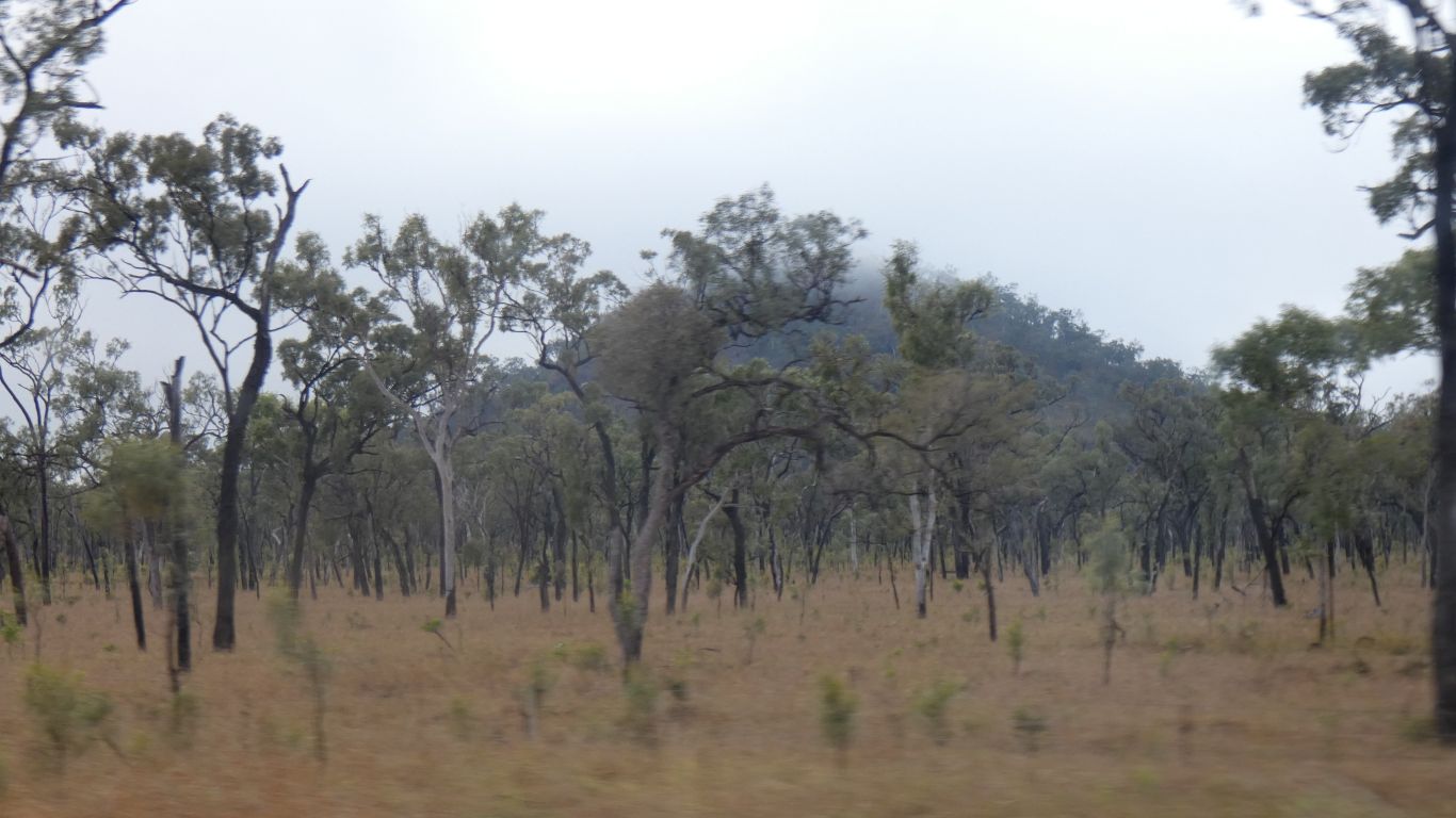
Which reminded me of many years ago talking to a farmer in central Zambia who was delighted after 30 years of trying to have succeeded in growing grass.

     
  There must have been a lot of rain recently. Remnants of cyclone Trevor.
     
  All roads require maintenance. Some of the unsealed is becoming sealed. And a new bridge across a small creek.
     
  A few signs of volcanic action. There's a mixture of explosive eruptions and more gentle shield volcanoes.
     
  An overnight at 8 mile creek. Running water. We had long showers. A pleasant spot.

And knocked the congealed, dried, mud off the exhaust pipe. A down side of having changed from vertical behind the cab to out the side.

     
  Next morning we headed north and took a brief side trip along Meadowbank Road. A station track with no through road.
     
  Our aim was to get closer to Commissioners Cap. The cone of an explosive (scoria cone) volcano.

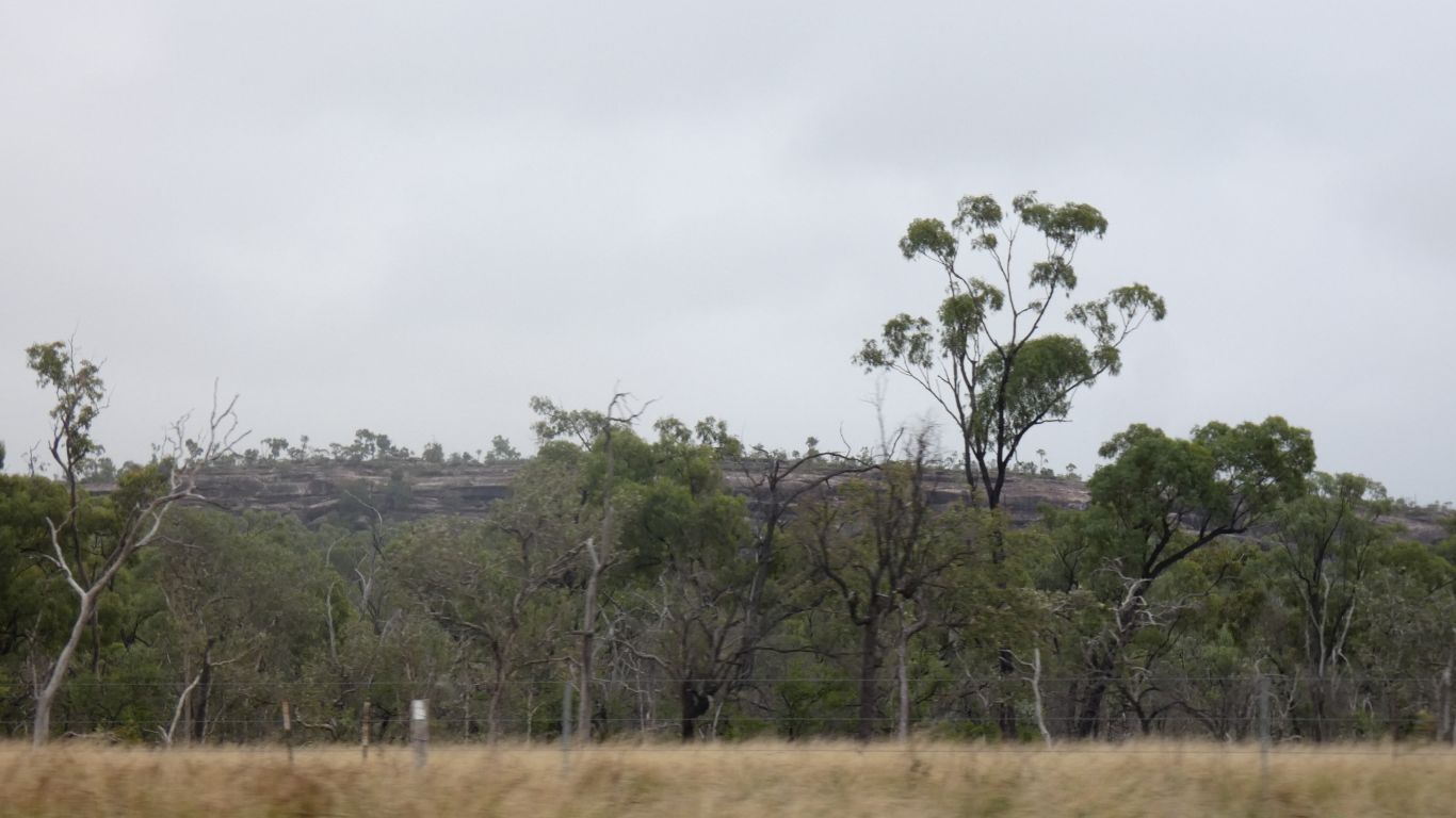
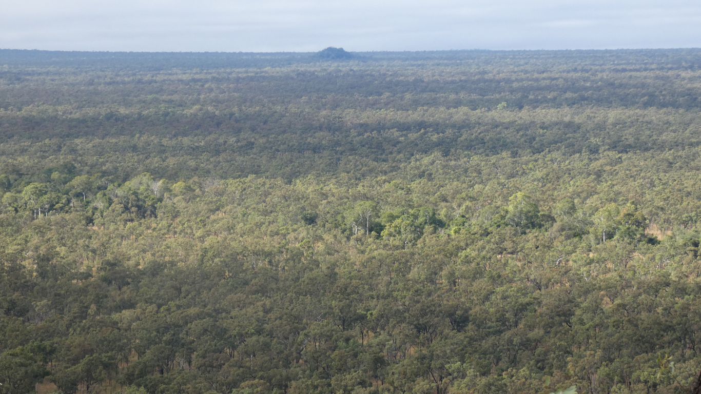
We didn't get as far as the basalt wall marked on one of our maps. And couldn't see Boomerang Crater through the trees.

     
  Back on the main road we pass Yarama Road. Fenced off. The "back way" into Undara National Park. Instead of 11 km we'll drive round the long way, 43 km.
     
  Undara is a strange national park. The exciting feature is the lava tubes emanating from Undara Crater - centre of the pic on the horizon.

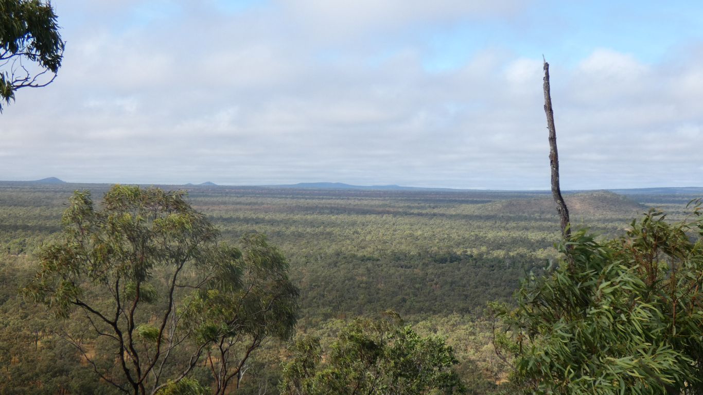
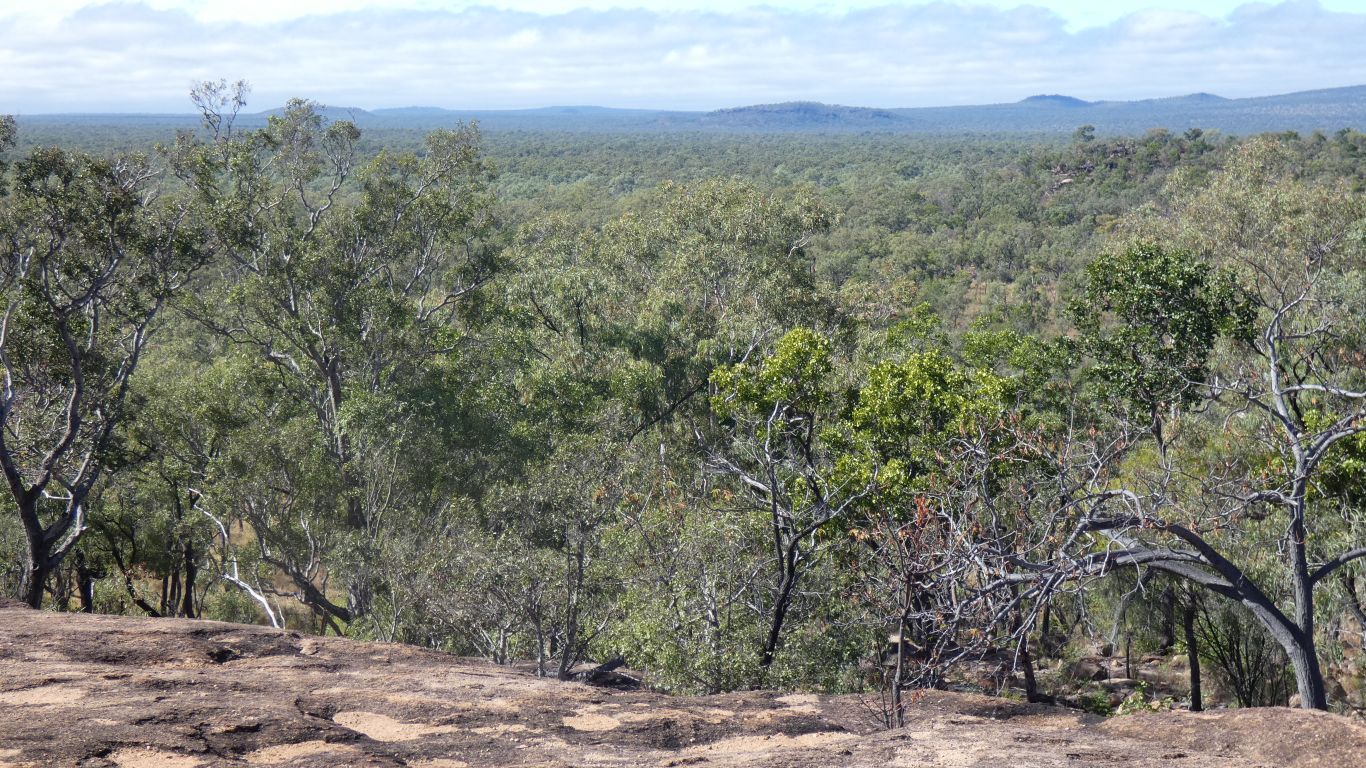
This is from the top of Kalkani Crater. Another scoria cone. We walked around the rim ... because we could. Nice was the 600m steady inclined track that traversed the cone to the rim, a fast walk got the heart and lungs working. Ever conscious of health these days its been nice to be a bit more free of PMR symptoms since we left home and walked lots. Feeling like its time to reduce the medication another small step. Most of our walks so far have been "gentle", though walking up out of Porcupine Gorge challenged the leg muscles.

     
  The darker green line of trees across the pic is the line of one of the three lava tubes.

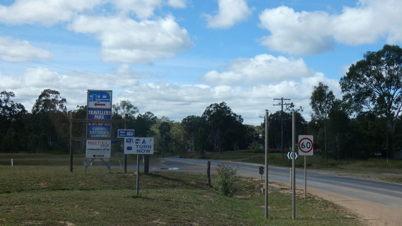
Inaccessible to us as the Undara Resort has a monopoly on access and provides guided tours. We don't really like guided tours as we can't remember what is said for very long and there's usually not much information that's of use to us. We know how lava tubes are formed. More importantly, the idea of a pay wall between us and nature is anathema. We dislike rent seeking on principle. Booking and a timetable seem all too hard.

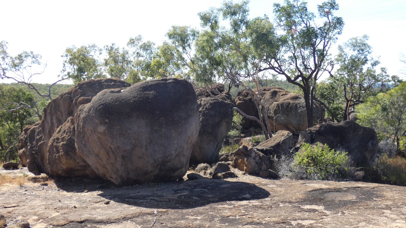
Undara is a shield volcano, the basalt oozed over a very wide area, extending 25km from the source.

     
  The dark green lines of trees, presumably where the roof has collapsed, aren't contiguous. Between those areas the tube is probably intact.
     
  The satellite image of the area is fascinating. Kalkani Crater is the dimple in the centre.

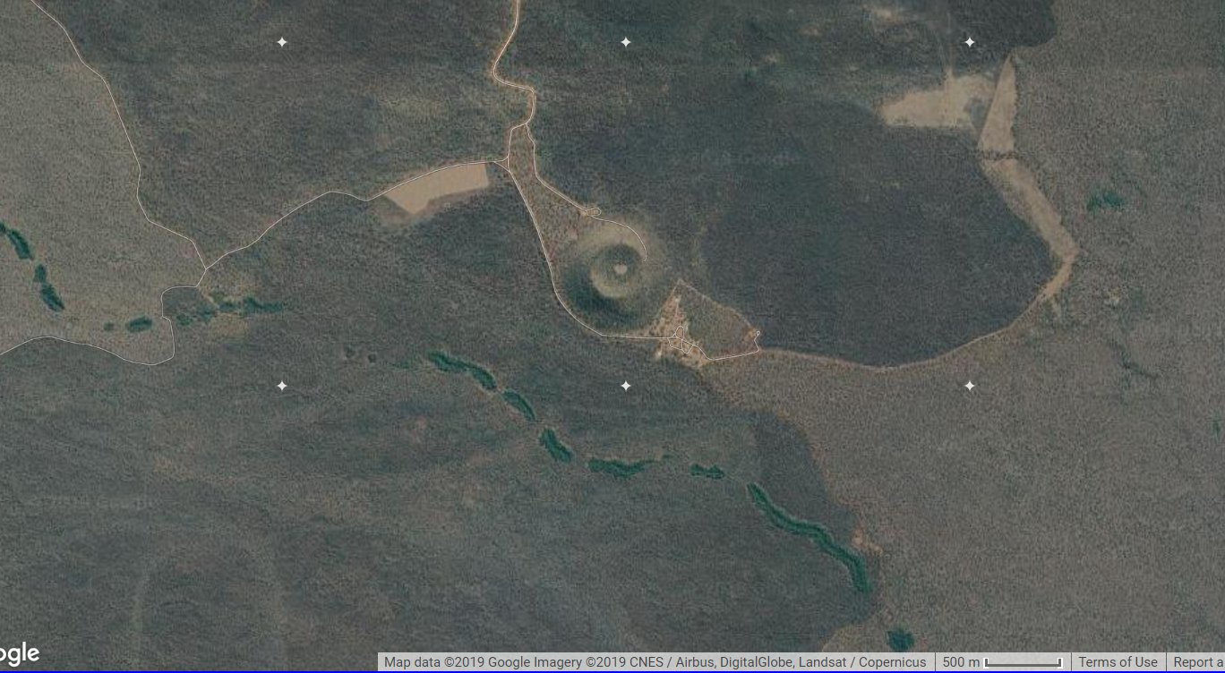
The roads are clear to see - it looks like there has been a large temporary "village" to the NW of the crater. Looks like there has been some prospecting activity.

The ranger station (Yarama) is SE of the crater. The track from there SE to the main road seems to not exist.

The gaps in the lines of dark green trees are easier to see. Like somone has been sewing. As is the track to one of the cave entrances. Magnified there's a turn around spot.


  After the crater we parked at the resort and walked westwards to Atkinson's Lookout.

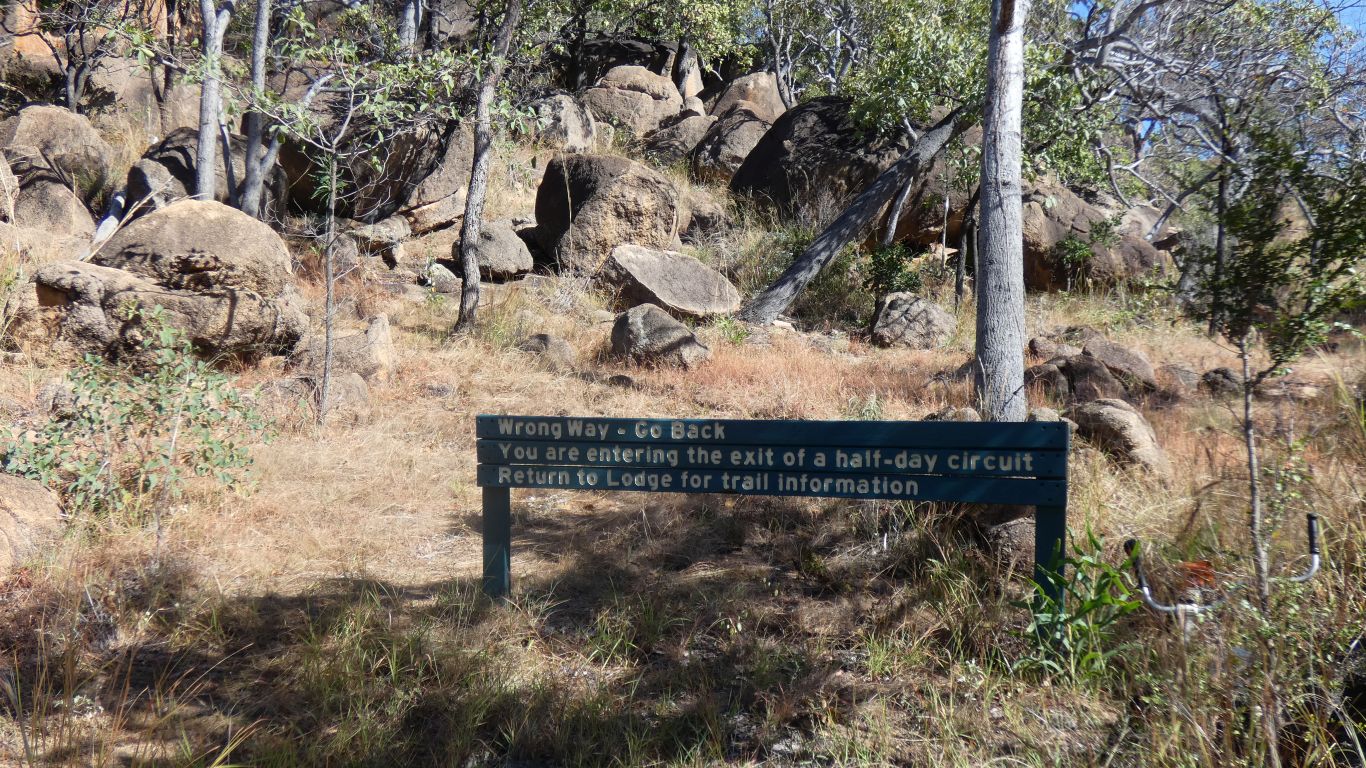
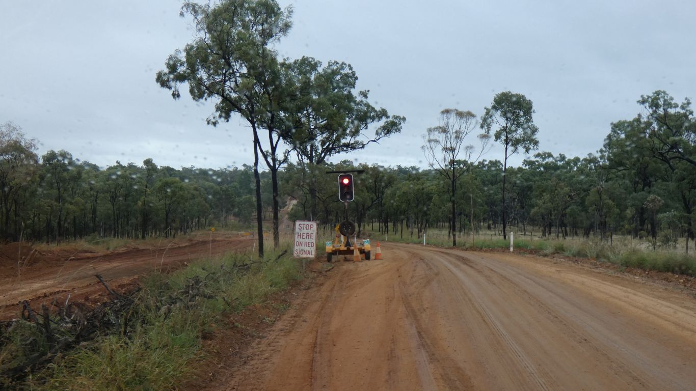
Just before the lookout was this rather odd (to us) sign. The resort is about 1km back along our track.

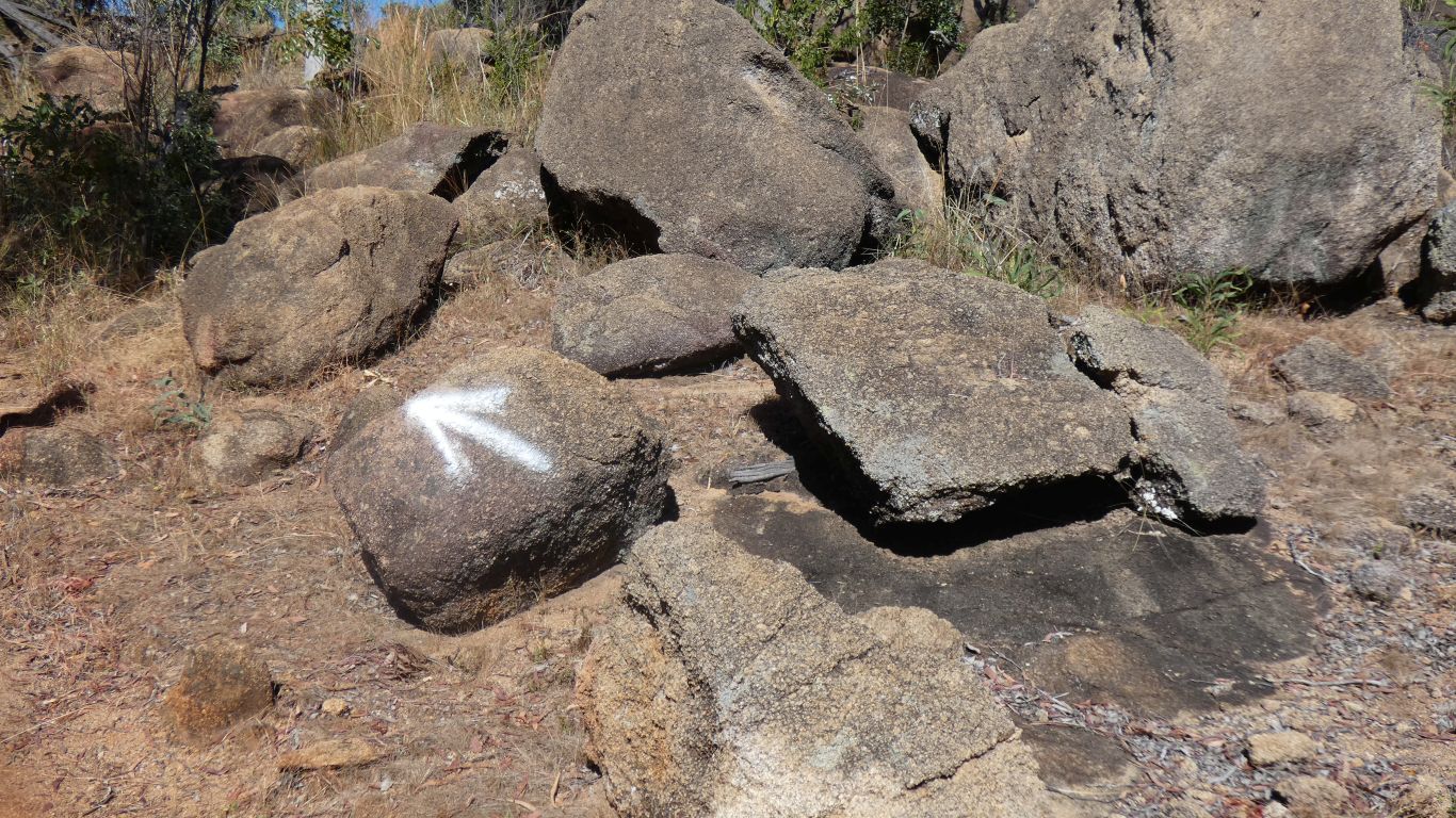
The track beyond the sign looks like it gets very little use. Perhaps explained by it not appearing on the map at the resort (which, as we always do, we took a pic of before we set out).

     
  This is the far more useful marker track to the lookout .... someone must have understood the potential for confusion.
     
  From the lookout. Granite. From another shield volcano.
     
  Definitely granite. Had we walked south from the resort we would have been on a basalt ridge.
     
  A pleasant walk through the forest.
     
  Northwards to Mt Garnet, we followed the instructions to turn left.

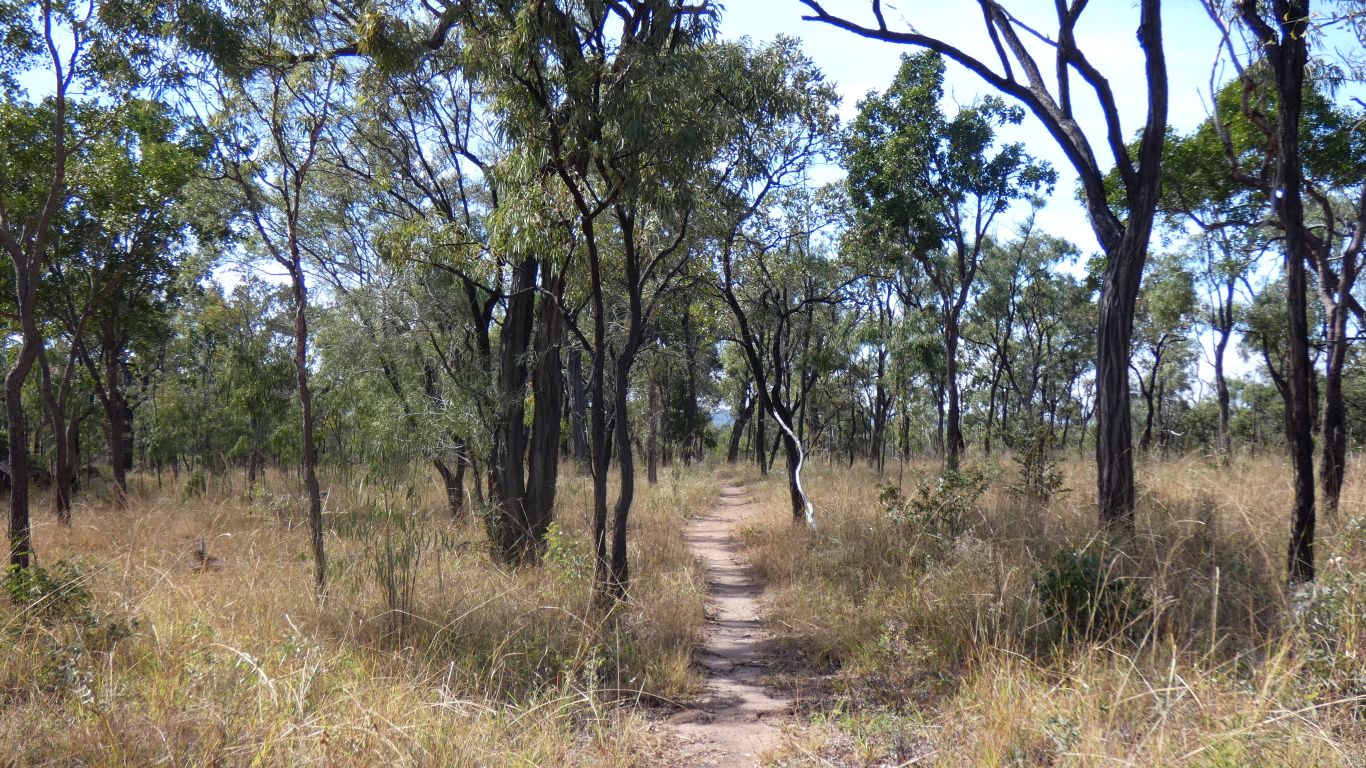
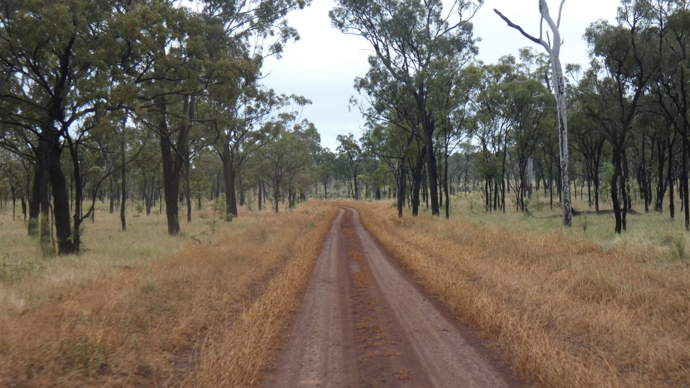
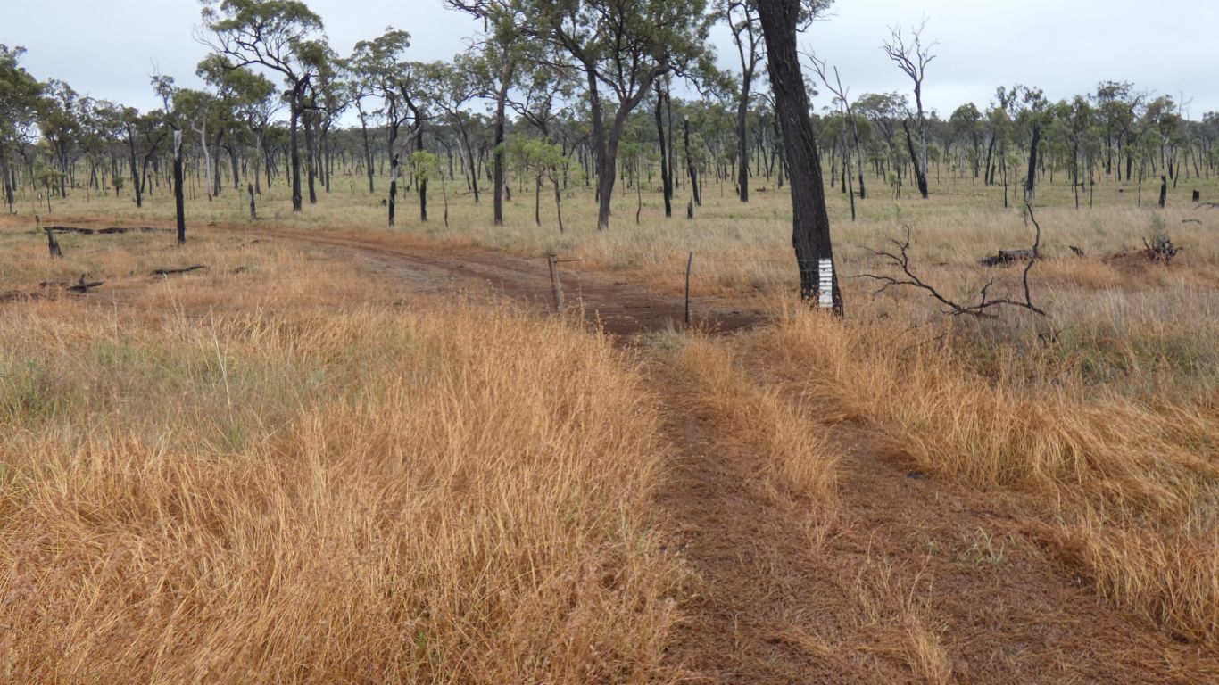
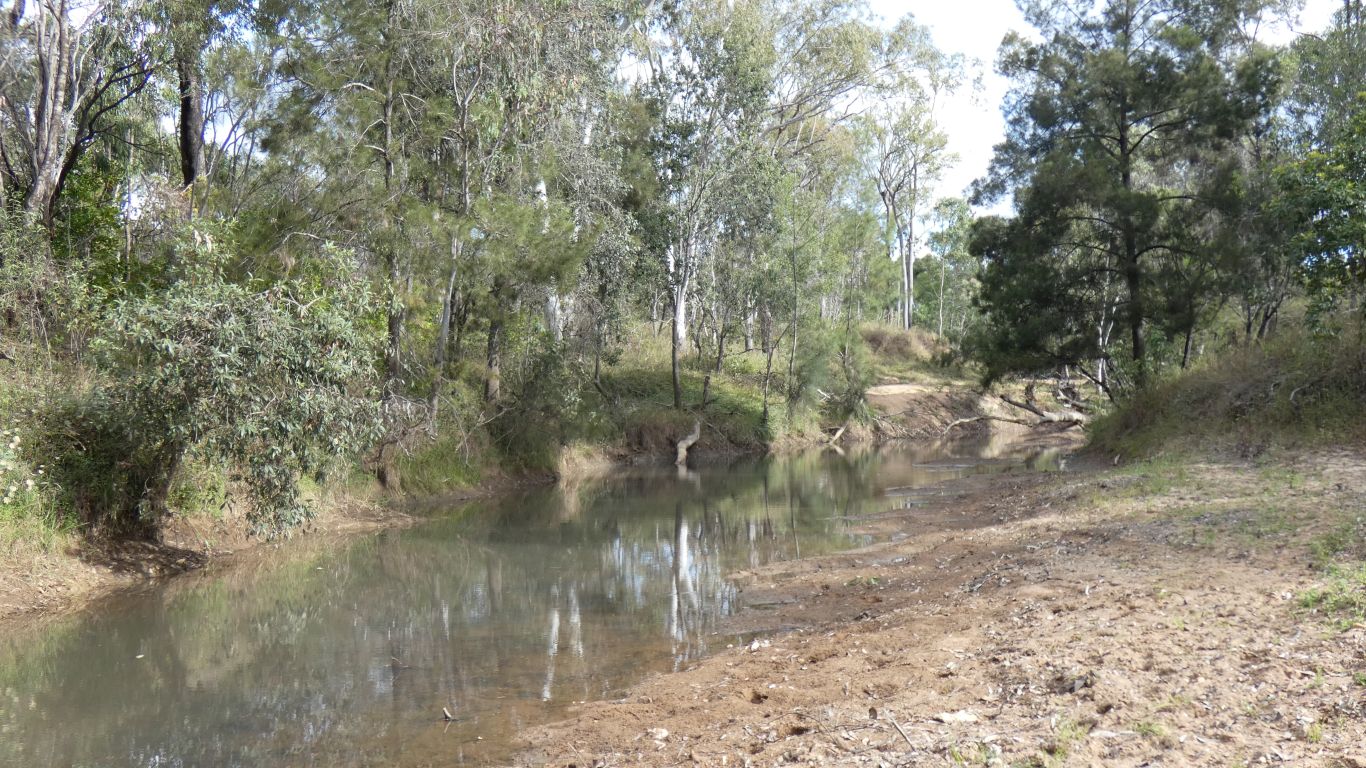
Not to the caravan park, we kept moving along Nymbool Road and camped for the night just short of Nymbool. Next to a pleasant creek.

     
  Surprised by an unidentified (by us) bird that sort of croaked at us.

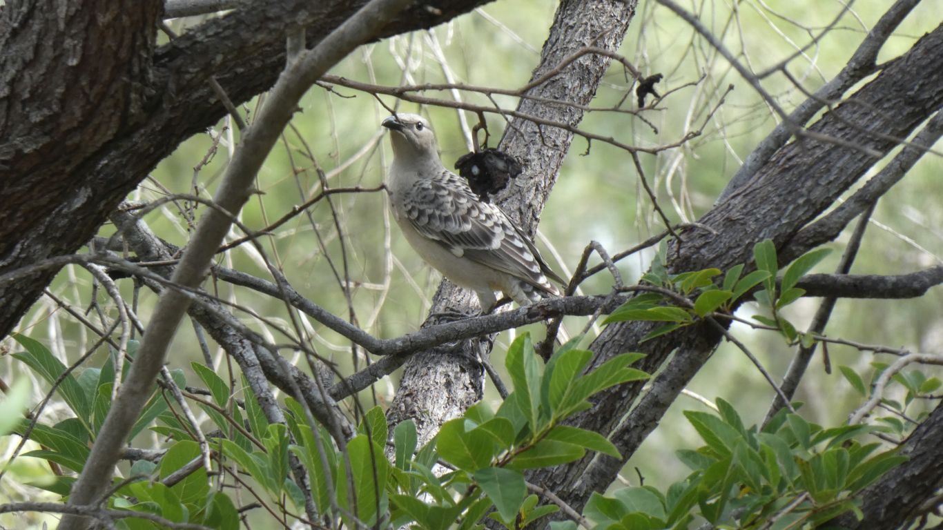
Much more familiar was the sound (and sight) of a flock of crimson rosellas.

     
  A few abandoned mines around the area. This is no ordinary brick, its too heavy, probably refractory (fire brick). But only one, in the creek bed. The markings have been eroded away. Not much evidence of being heat effected, perhaps it escaped before being used. Most early historic buildings are wood, mud brick, or stone. Bricks came much later.
     
  Just upstream of where we camped. A tributary of Tunmirendah Creek, which flows into the Herbert River, which meets the sea at Ingham.

We are yet again camped about the middle of the Great Dividing Range. More by luck than design we seem to be following it northwards. If it wasn't marked on the map we wouldn't know.

     
Daintree National Park May 29 - 30 2019
     
Gateway
CommentsHome


Sorry, comments closed.