| |
|
|
| North To Jardine River National Park |
 |
June 6 - 8 2019 |
| |
|
|
 |
|
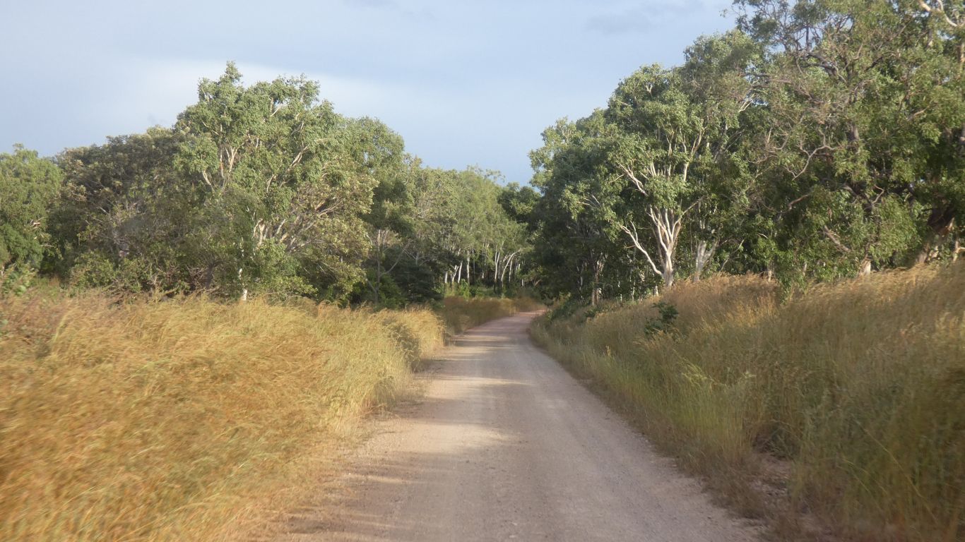
Leaving Archer Point (we forget whether it was three or
four days) the sun emerged. But the wind continued. |
| | | |
 |
|
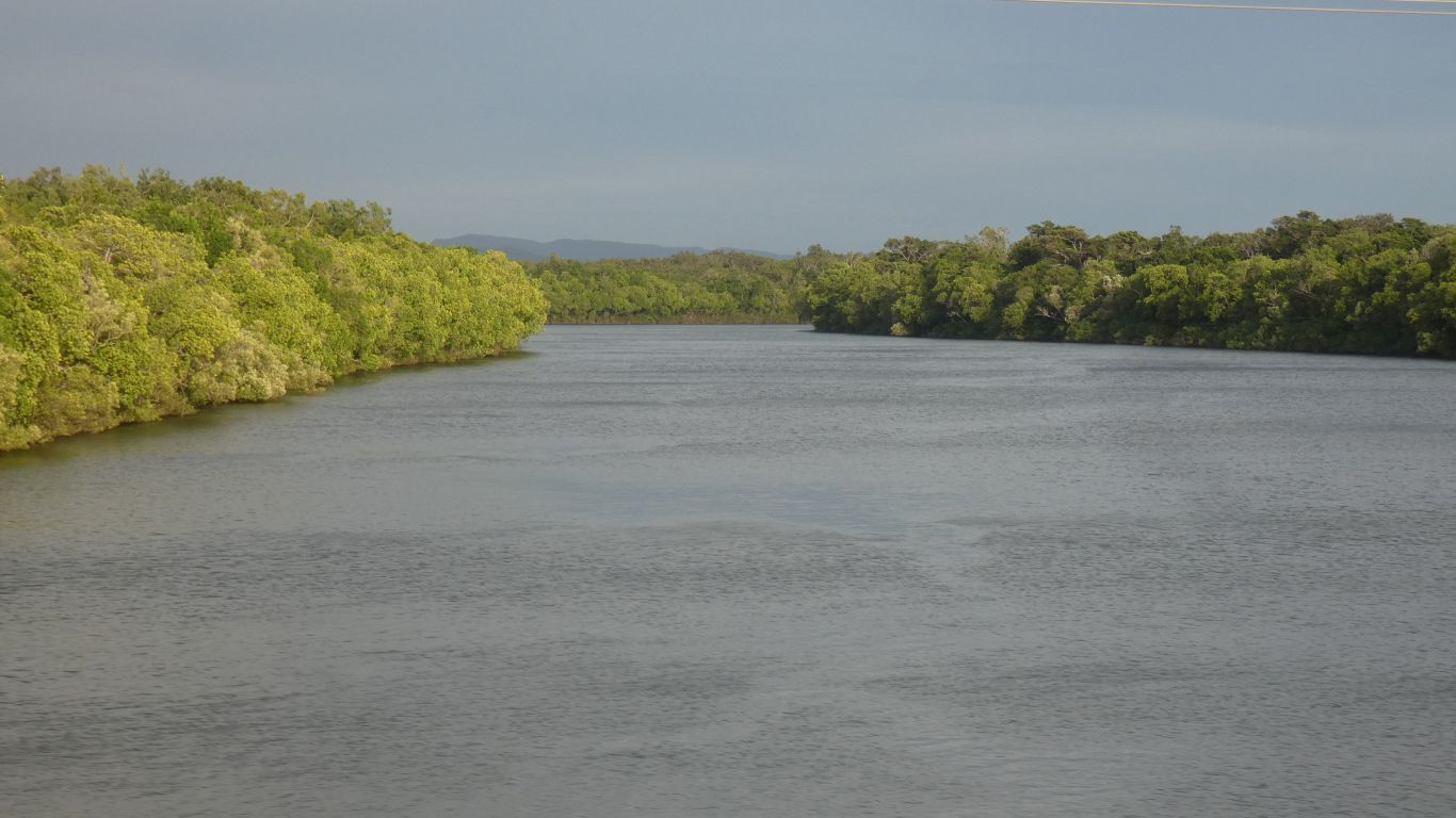
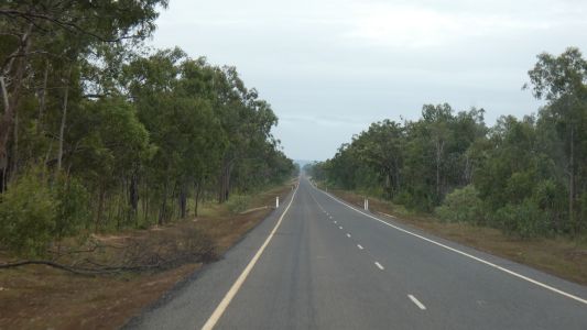
An easy drive towards Cooktown on the Mulligan Highway,
crossing the Annan River on a substantial bridge. |
| | | |
 |
|
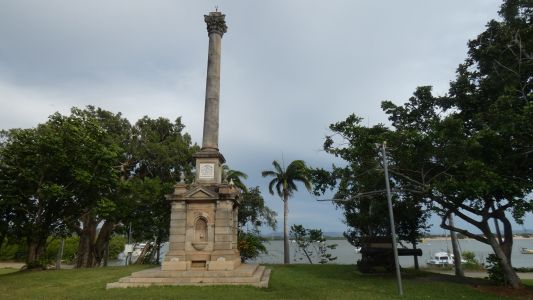
17th June 1770. Captain Cook landed here. Repairs necessary
to the Endeavour. The Latin inscription - "Post cineres gloria venit" -
translates as "After death comes glory". Presumably Cook's death and glory.
|
| | | |
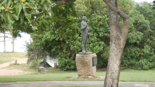 |
|
And there he is. The very same Captain Cook whose statue we
pictured in Whitby, Yorkshire in March 2012 - has it really been six years?
The inscription on the statue in Whitby is "To strive, to seek, to find, and
not to yield". The end line of a famous poem.
On our way back from the tip of Cape York we may visit the local museum.
Just as we did in Whitby. And we'll read the inscription (plus pose, which
looks similar) on this statue. |
| | | |
 |
|
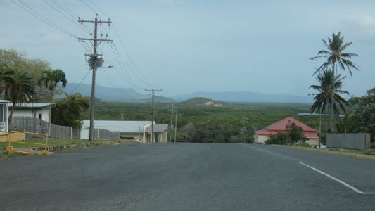
Cooktown is on a hill. Mt Cook is behind us. A meagre
shadow of the real Mt Cook in New Zealand. |
| | | |
 |
|
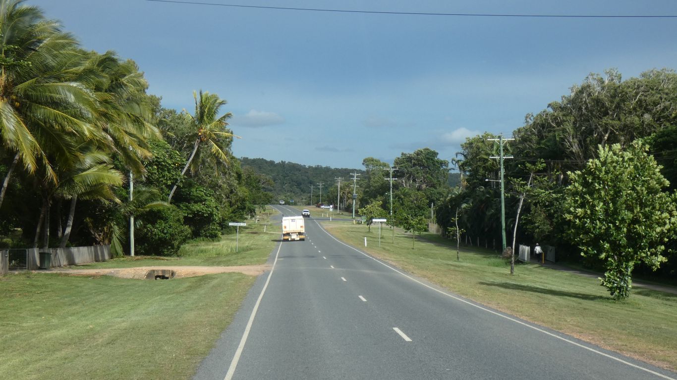
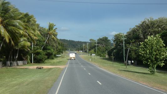
We used the dump point, filled with water, shopped for some
groceries, filled with diesel, and headed north. Well, west actually, so
we could head north. |
| | | |
 |
|
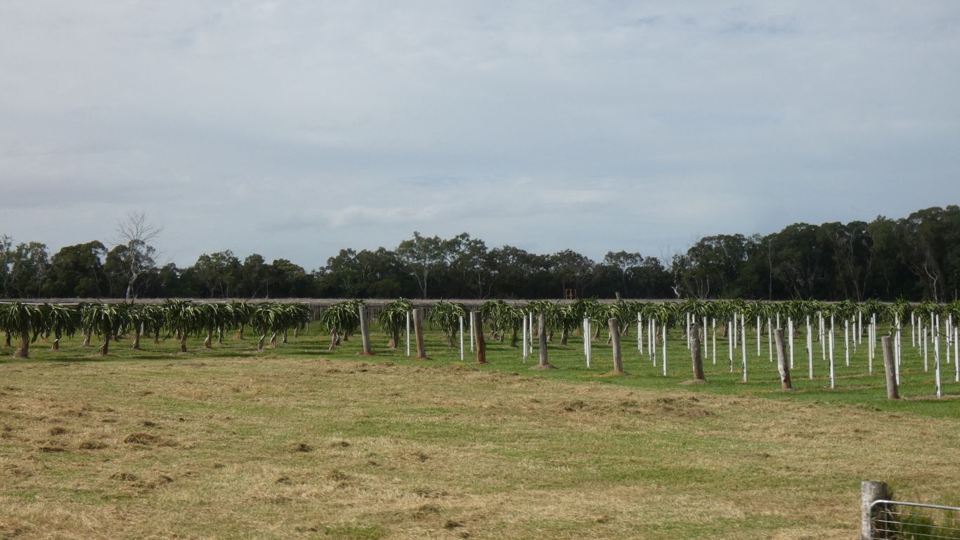
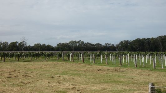
Just outside Cooktown a dragon fruit plantation. Planned
to take advantage of a market that was supplied from Vietnam, these will be
ready in their off-season.
Overtaken by a free trade agreement with Indonesia. Their dragon fruit
are ripe at the same time as ours. The impact is yet to be known. |
| | | |
 |
|
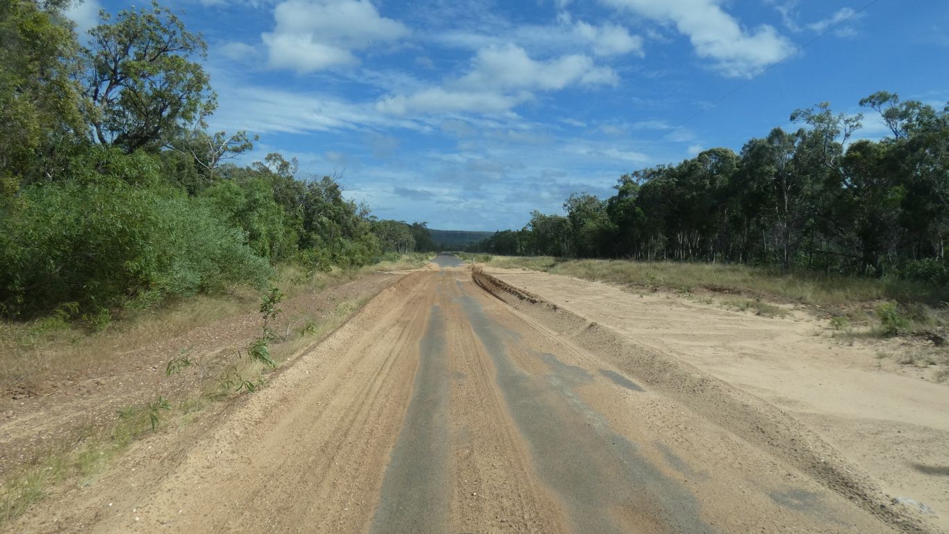
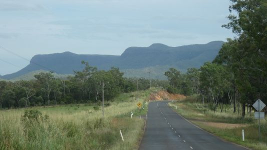
We are driving along the Endeavour Battle Camp road. It
skirts to the left of those hills. |
| | | |
 |
|
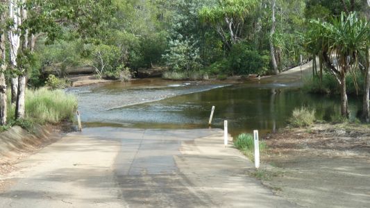
There will be many creek crossings like this in the days
ahead. Some pleasant, paved with concrete, others stony and rough. So we
slow for them all. |
| | | |
 |
|
The road has been cleared of sand from the wet season. We
spotted a tour bus (4wd) in Cooktown and checked road conditions with the
driver. He drove this bit yesterday. Further north (around Wenlock River)
"you'll get through in that".
Much more informative than the Queensland Government road condition
website, though consistent. The road north of the Weipa turnoff is open for
high clearance 4wd vehicles. |
| | | |
 |
|
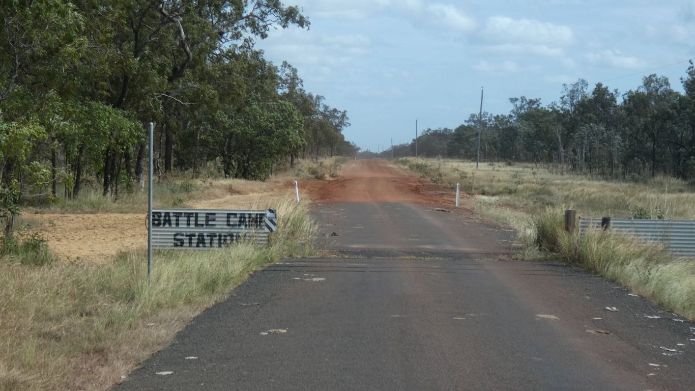
Here we are at Battle Camp Station. We have no idea why it
is so named. |
| | | |
 |
|
The road is obviously very passable. |
| | | |
 |
|
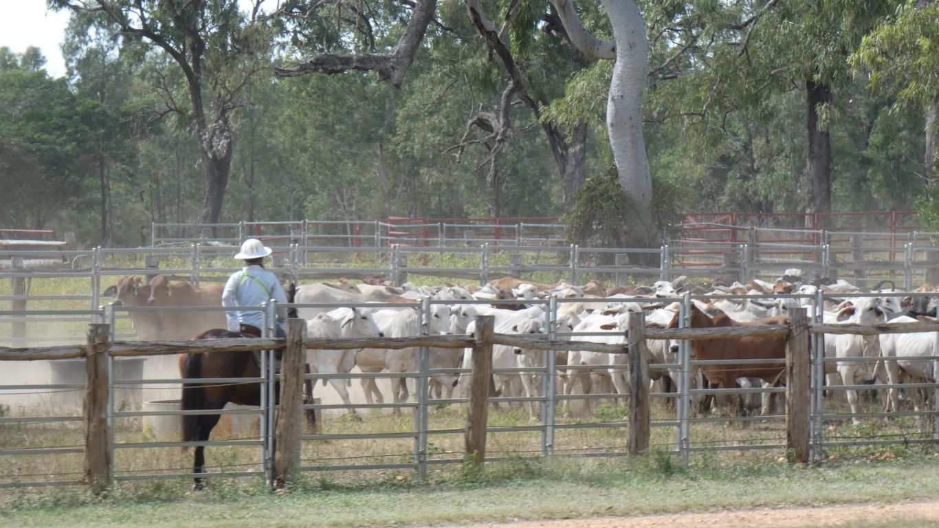
Lakefield Road, that runs through Lakefield National Park
is closed. As are all the campsites (at least we think the rangers have
shown them booked as there is no "closed" function in their website
software. So we detour south a bit to Laura, to join the Peninsula
Development Road.
And happen on a small muster. |
| | | |
 |
|
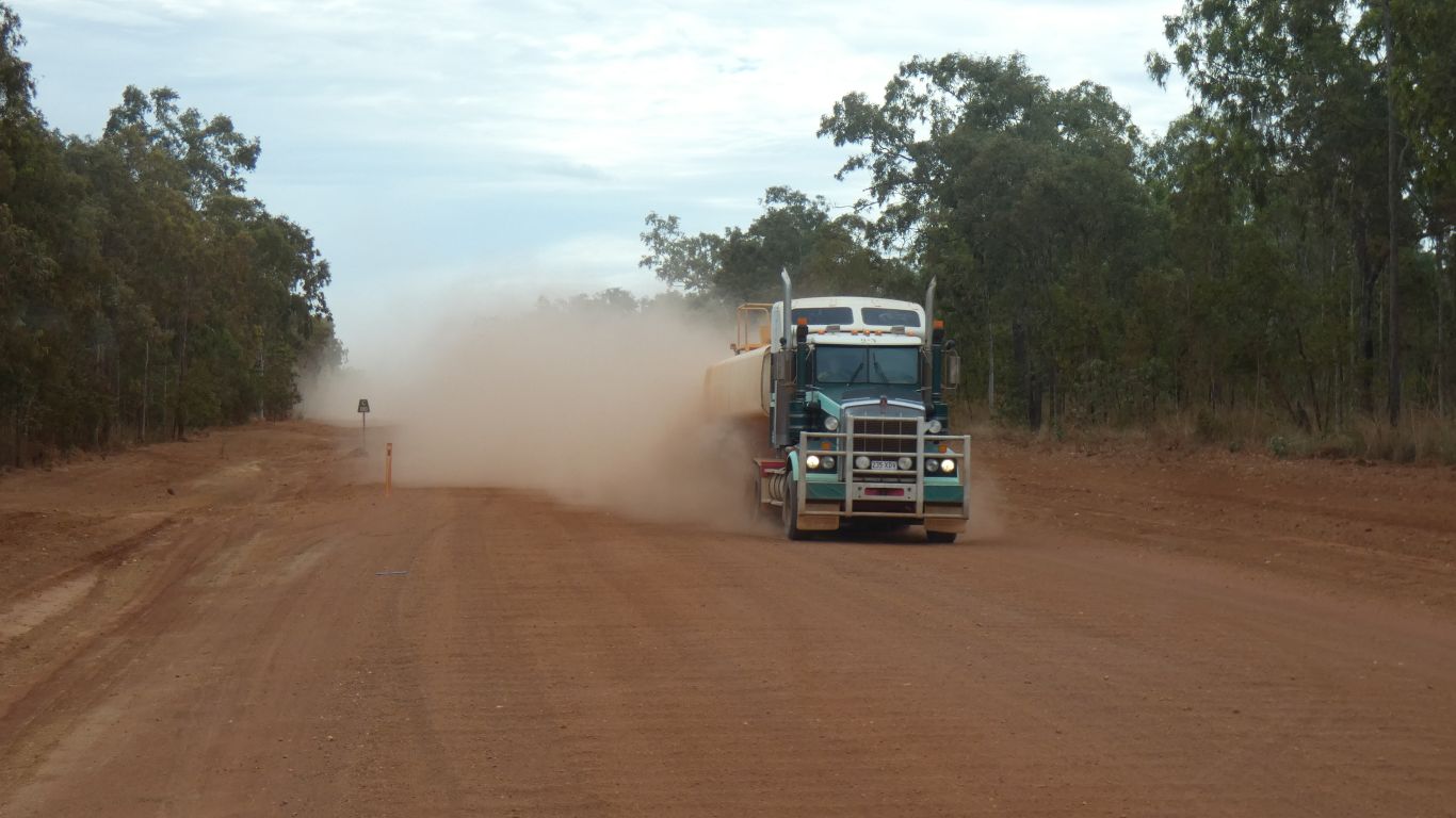
The gravel road is good. A couple of road trains each day.
4wd tourists headed our way in a variety of vehicles, with camper trailers,
pop-tops, boats, off-road caravans. Even a few coming south. |
| | | |
 |
|
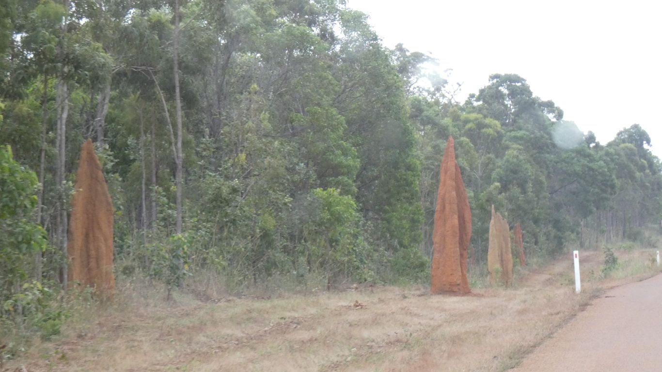
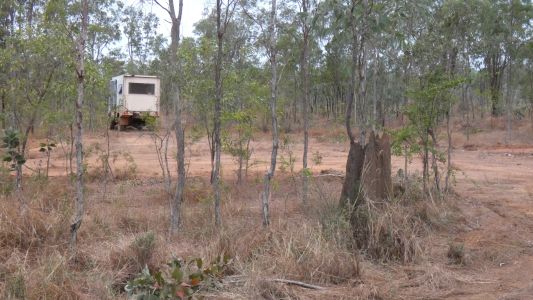
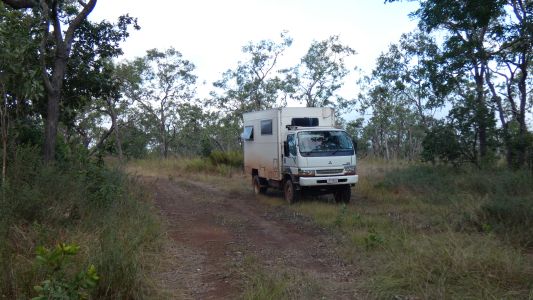
We simple find a spot off the side of the road after about
250km. Three days would see us at Cape York. We take a bit of interest in
the termite mound. Sharp edges, obviously suffering from rain erosion during
the wet season. |
| | | |
 |
|
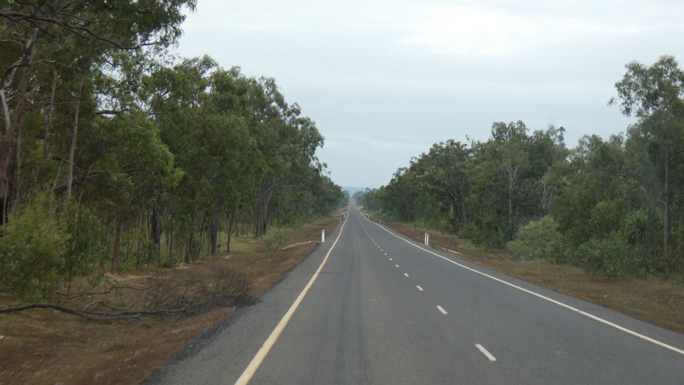
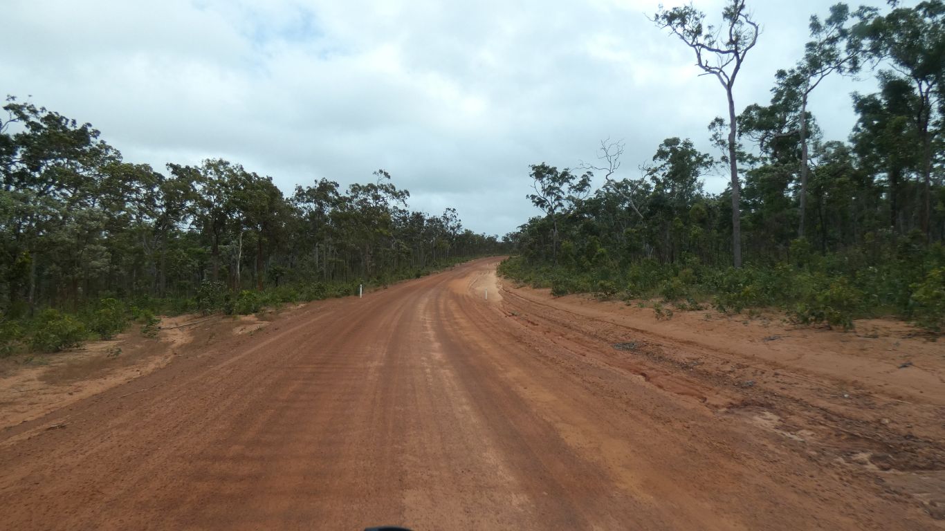
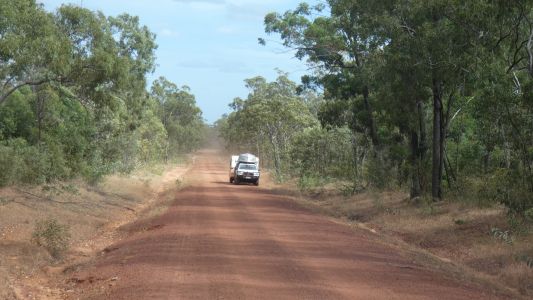
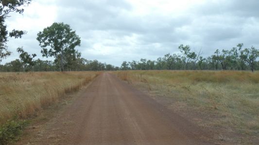
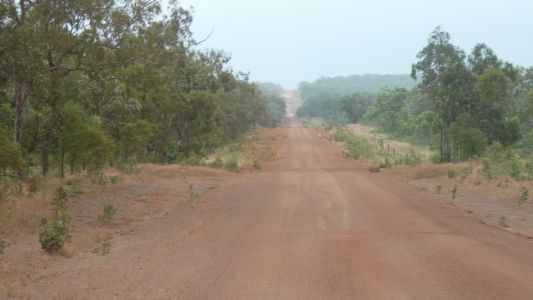
The road is around 50% sealed in patches of about 10-15 km. |
| | | |
 |
|
Its also unsealed for the other 50%. |
| | | |
 |
|
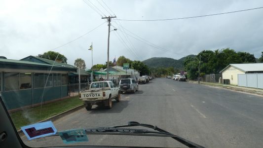
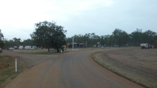
Coen. We stopped for an hour or so to catch up with
internet. Next internet will be Jardine River. |
| | | |
 |
|
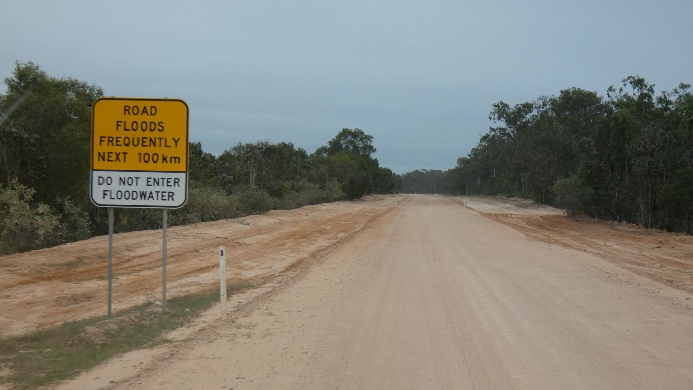
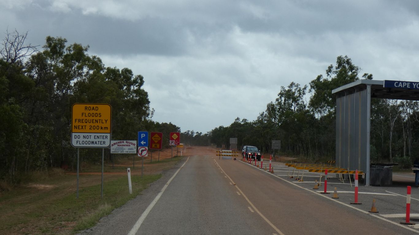
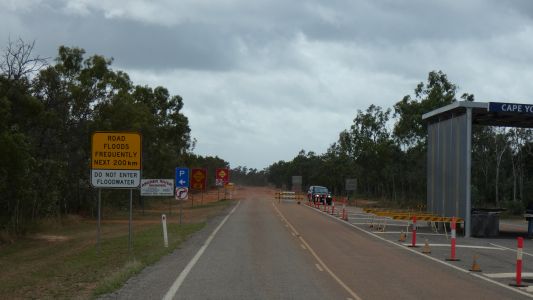
There's a quarantine station about 10km north of Coen, for
vehicles coming from the north. There was no convenient place for us to pull
off and ask what the rules are. Magically, the 100km of possible floods
have become 200km. We'll settle for "lots". |
| | | |
 |
|
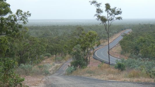
The old road was sealed and the new road replaced it.
Creating a convenient lookout. The land looks very flat.
South of Coen we climbed up the Bamboo Range and cross the Great Dividing
Range. 270m. That is towards the east of the peninsula. We seem to have
crossed east to west. The rivers flow generally west, into the Gulf of
Carpentaria. Some short creeks flow east. |
| | | |
 |
|
Just past the Telegraph Road turnoff. The Developmental
Road turns west towards Weipa. We head north. The road is obviously
smaller.
After about 280km for the day we stop to camp a couple of hundred metres
off the road. About 3km north of the turnoff. Just enough time in the
afternoon to bake a loaf of bread.
There's water near and rainbow bee eaters. We can also hear finches (as
we did at last night's roadside) but they are elusive and deny us pics.
Somewhere in the distance are what we think are geese calling. |
| | | |
 |
|
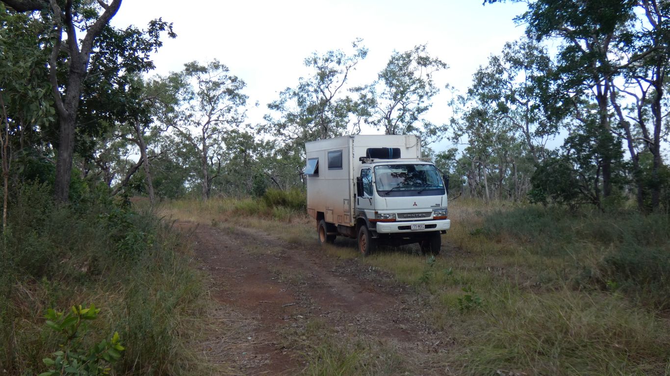
A pleasant campsite. No noise, no dust. We continued to
hear birds but not see them. |
| | | |
 |
|
Scattered showers throughout the next day. Enough to wet
the road. Fortunately not greasy. Keeps the dust down. |
| | | |
 |
|
A few vehicles, in both directions. Long, straight,
undulating sections with floodways of varying roughness between. The bush
varies from tall eucalypts, short eucalypts, denser almost rainforest, and
short scrubby heathland that we can almost see over. |
| | | |
 |
|
Plus sentinels to guide us. There are a few patches of
sealed road. |
| | | |
 |
|
Bramwell Junction (Roadhouse) is where we take the bypass.
We have no reason to follow the Telegraph Track which is slow. |
| | | |
 |
|
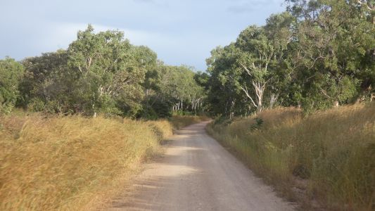
Through Heathlands Resources Reserve we meet corrugations.
Some a little viscious. But in patches, not the continuous grind of
corrugations that are present on Gibb River Road. |
| | | |
|
Eliot Falls |
|
June 9 2019 |
| | | |