| |
|
|
| Somerset to Wroonga Point |
 |
June 16 2019 |
| |
|
|
 |
|
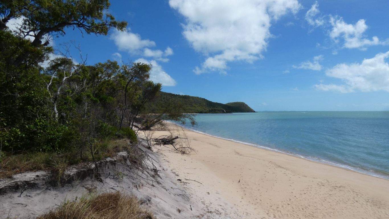
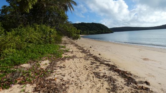
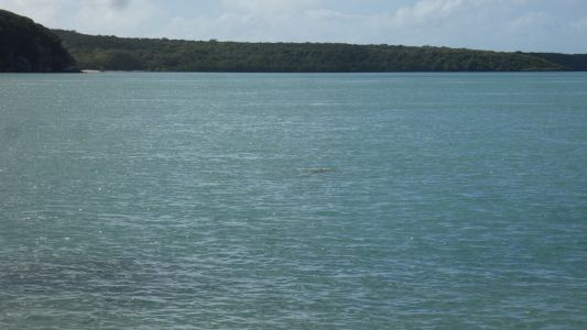
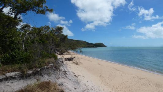
We finally worked out that Somerset looks onto Albany
Passage. A nice sheltered beach. We visited on our way to Wroonga Point. |
| | | |
 |
|
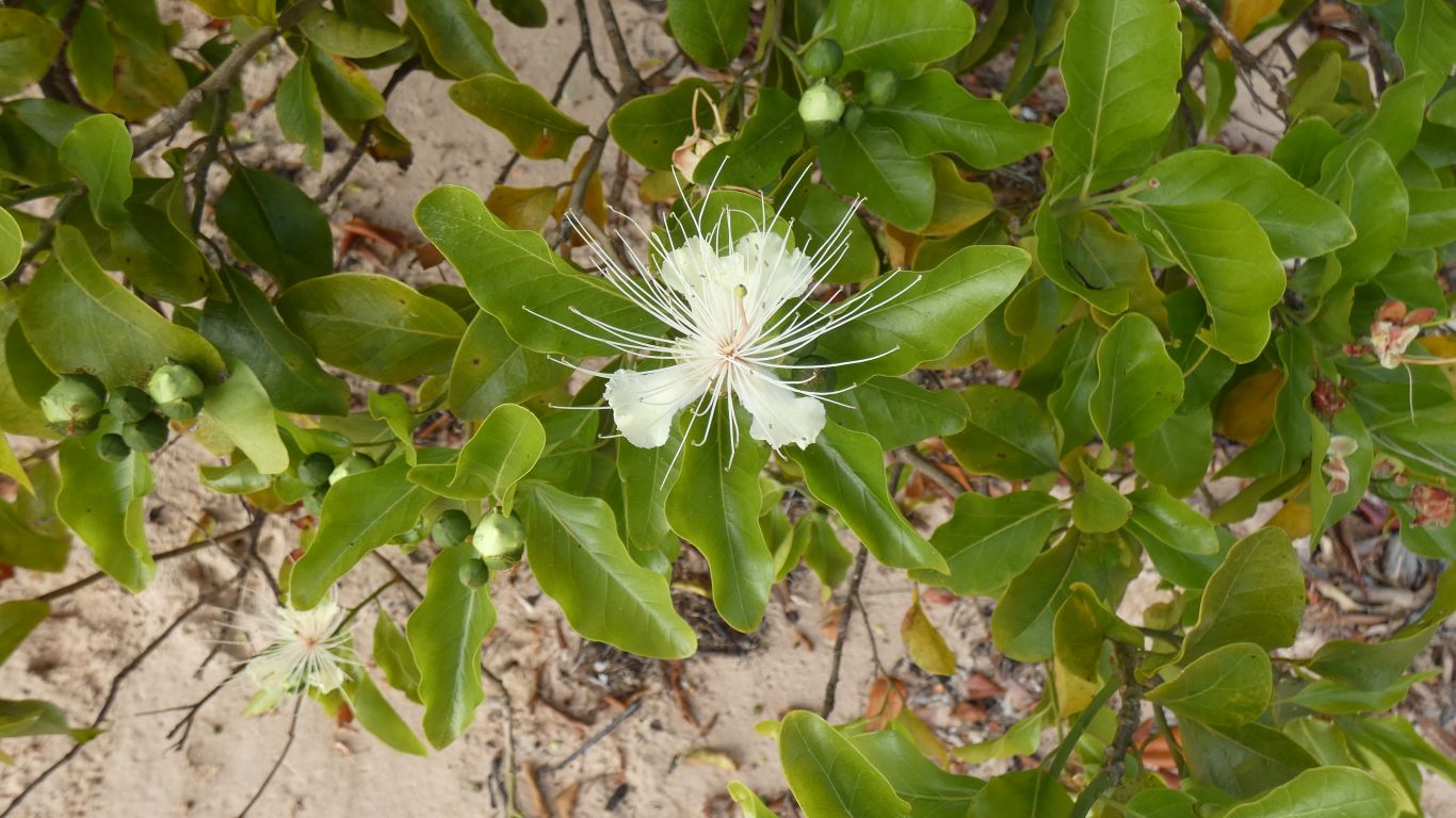
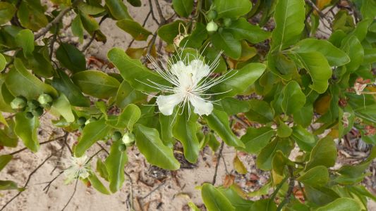
An interesting flower, we first headed south along the
beach. |
| | | |
 |
|
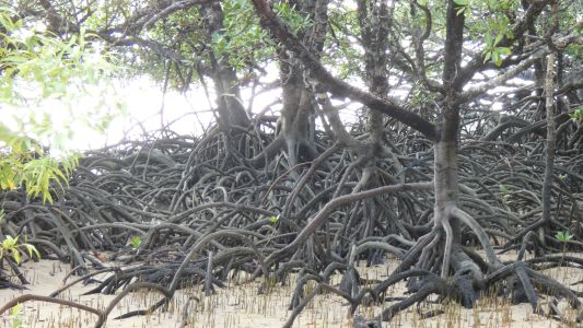
Behind the mangroves. |
| | | |
 |
|
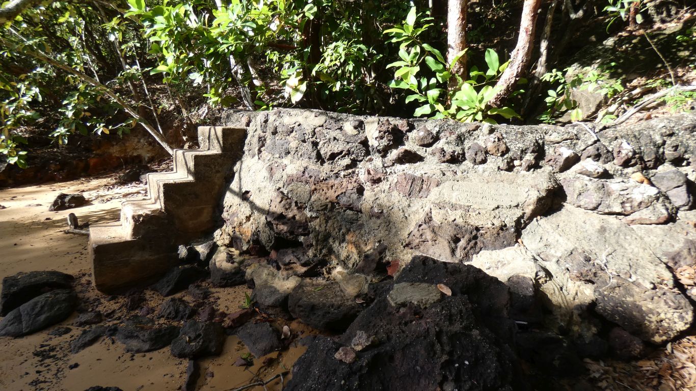
To the well. Which didn't have any water, and hasn't been
maintained for many years.
There's also no water in the campsite, the tanks are empty and the outlet
pipes cut. |
| | | |
 |
|
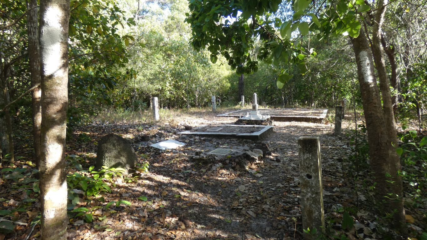
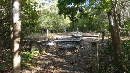
So we headed north along the beach. The graves of some of
the Jardine family and a couple of other memorials. |
| | | |
 |
|
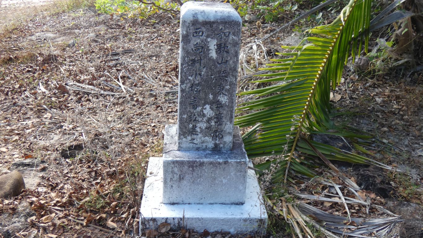
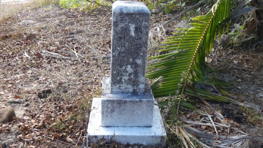
With a separate Chinese gravestone. |
| | | |
 |
|
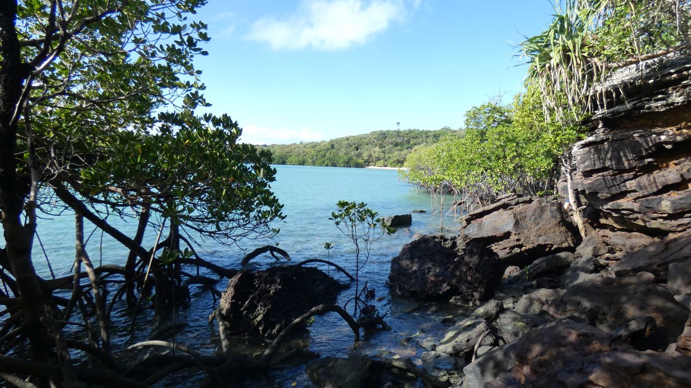
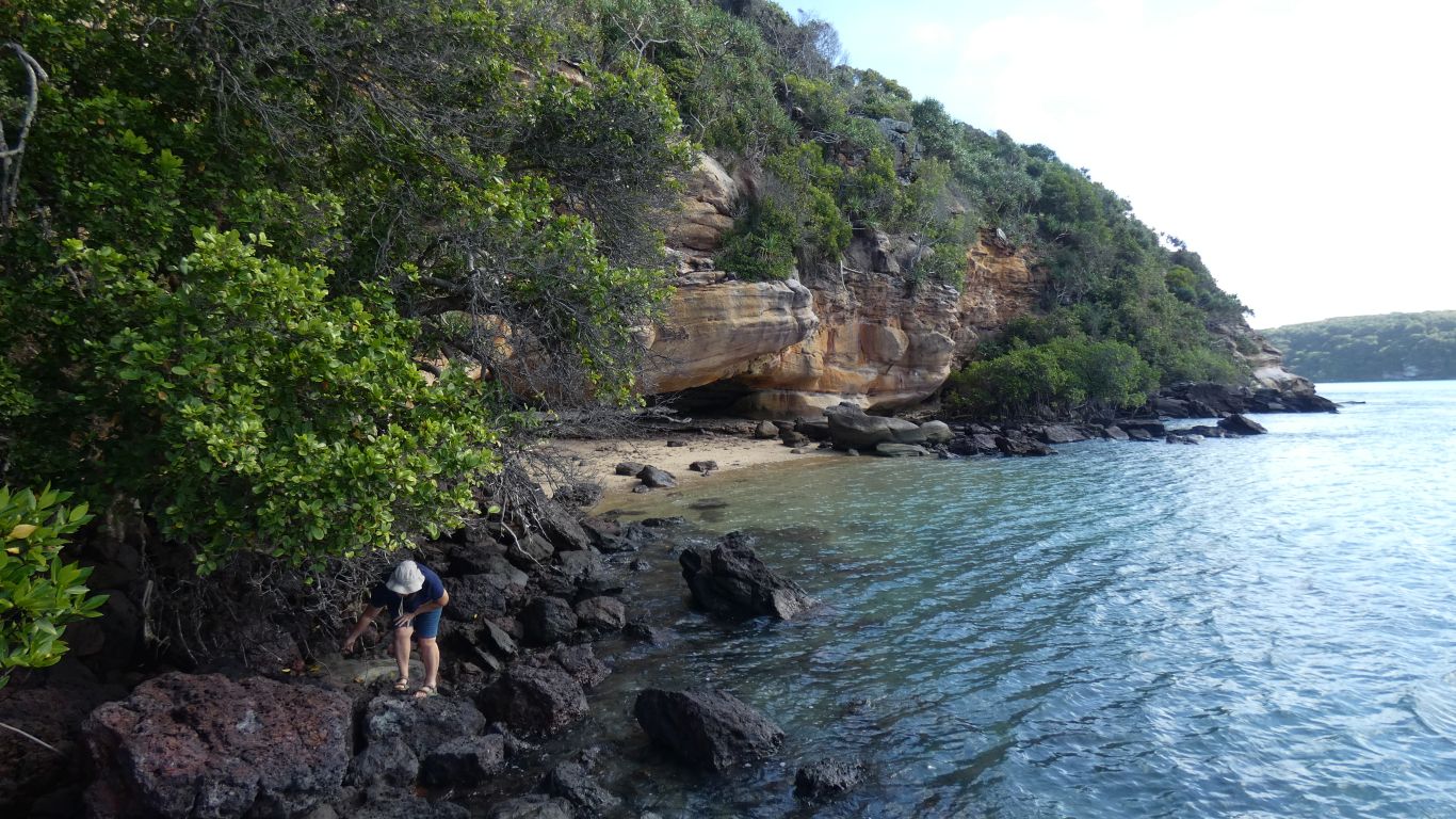
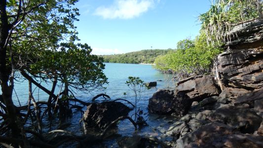
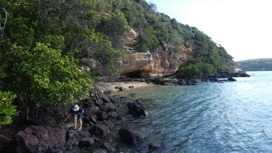
Further north we scrambled along the rocks. The tide is in,
but not so far as to make it impassable. This is looking back to the
beach. We wonder whether the hard work of scrambling over rocks is
worthwhile. |
| | | |
 |
|
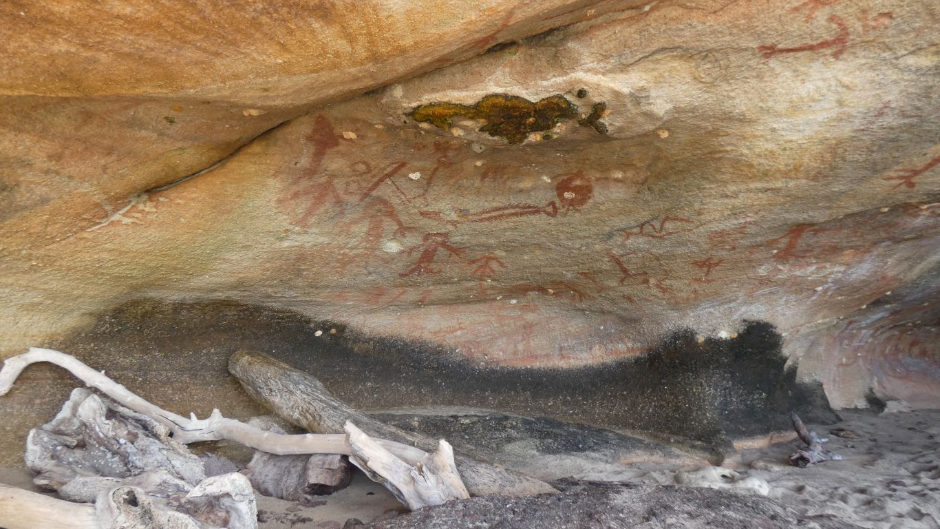
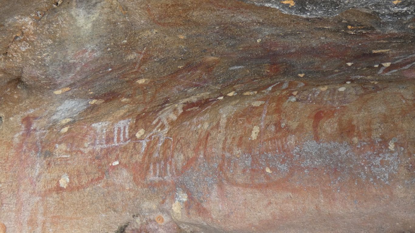
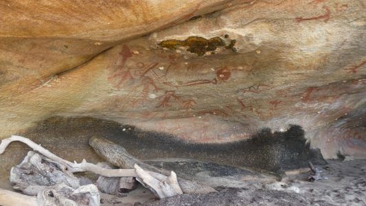
But, yes it is. To rock art. No kangaroos or animals.
Fish and things from the sea. |
| | | |
 |
|
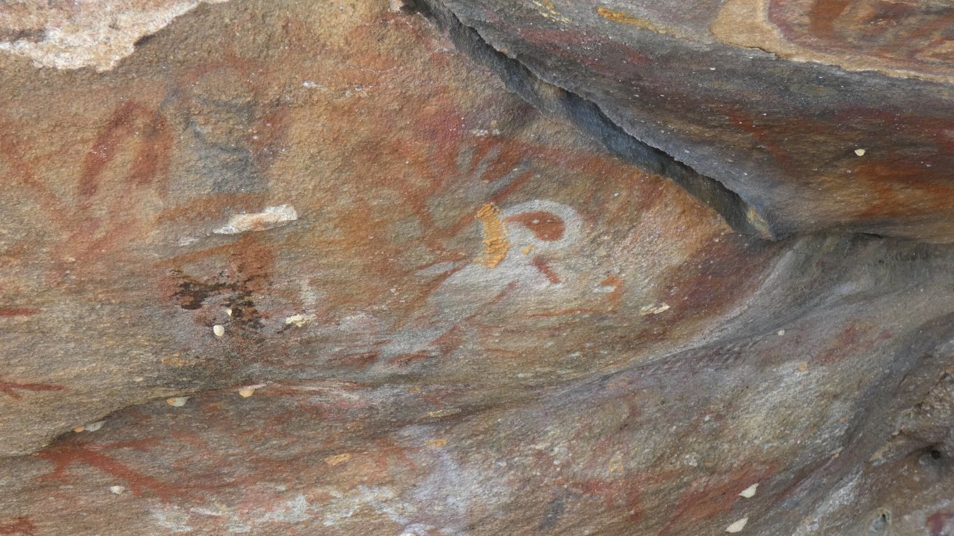
Though we aren't sure what this shape is, its been painted
over other art. |
| | | |
 |
|
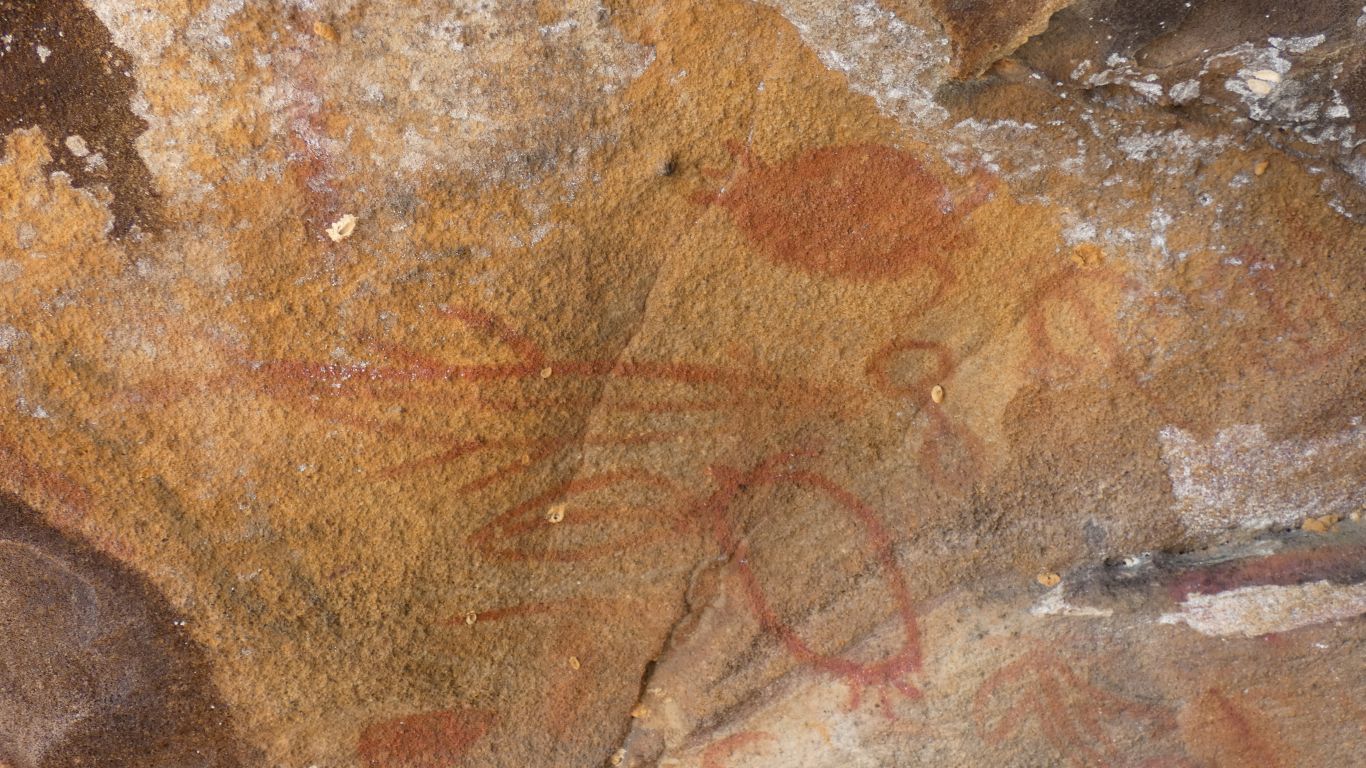
We imagine turtles and fish. |
| | | |
 |
|
But have no idea of this part, a bit separate from the
rest. |
| | | |
 |
|
The dark shape is of a turtle. They do exist .... |
| | | |
 |
|
We leave after a thoughtful few minutes. The same scramble
over the rocks, but made easier as we knew how far we had to scramble, and
we didn't make detours into the bush to search. |
| | | |
 |
|
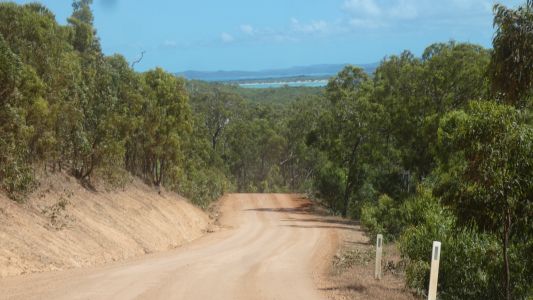
And so towards Wroonga Point (some places spelled Roonga).
This is the road into Punsand Bay, the first glimpse of the sea.
Our track leaves somewhere on the left. |
| | | |
 |
|
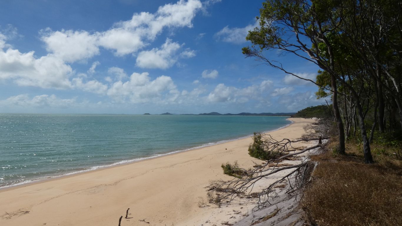
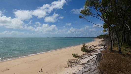
First to Cable Beach. At the west end of Punsand Bay. Its
where the telegraph cable from Thursday Island reaches land. One end of the
telegraph to Brisbane. Cape York tip is in the distance. Punsand Bay
camping near the first headland. |
| | | |
 |
|
And looking north west to Peak Point. More of that later. |
| | | |
 |
|
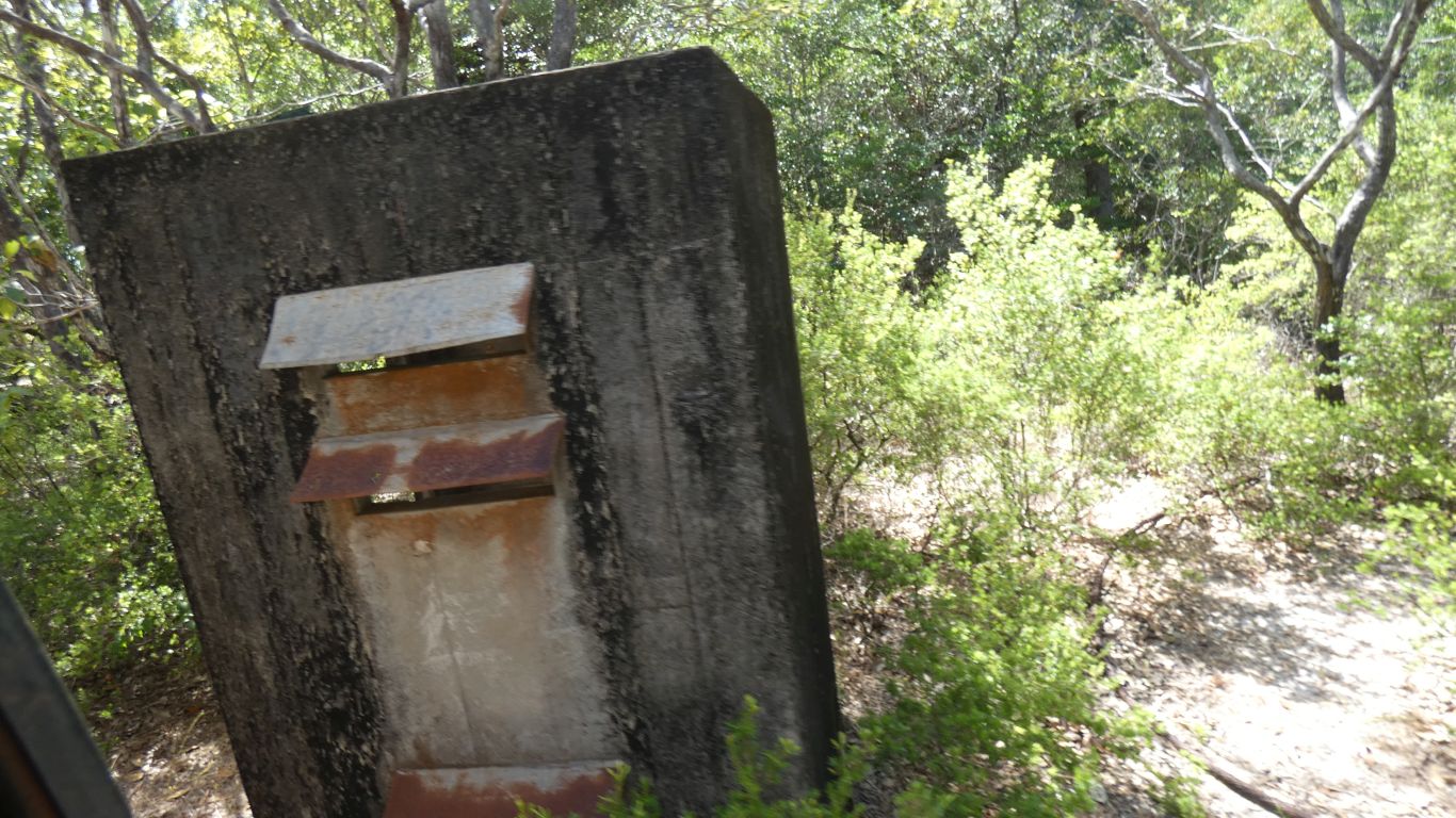
Just so we really know, the junction box for the cable has
been left for us to take pics of. |
| | | |
 |
|
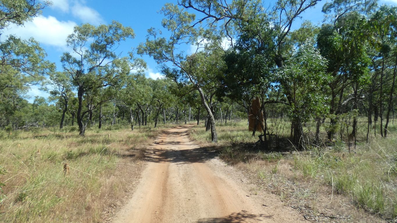
The track into Wroonga Point is easy. The forest relatively
open, the ground sandy. |
| | | |
 |
|
We drive through to the end of the track. South of Wroonga
Point itself. The track ends in mangroves.
Wroonga Point is a sort of west then south "L". A bit like a hook. And in
the middle of the "L" is swamp and mangroves. That extends to the sea at the
southern bit. There is no way south.
There is a track that reaches the coast much further south and head north
a bit. But there is no connection. |
| | | |
 |
|
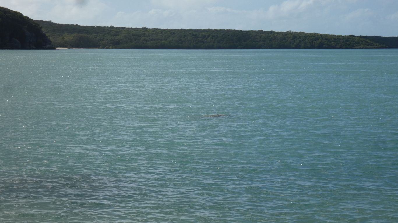
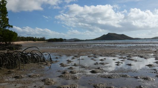
First night in our campsite. The tide is out, the holes and
humps look like there are crabs. Len, of Oka 208, who arrives later tells
us whatever it is takes his bait and hangs on tight. |
| | | |
 |
|
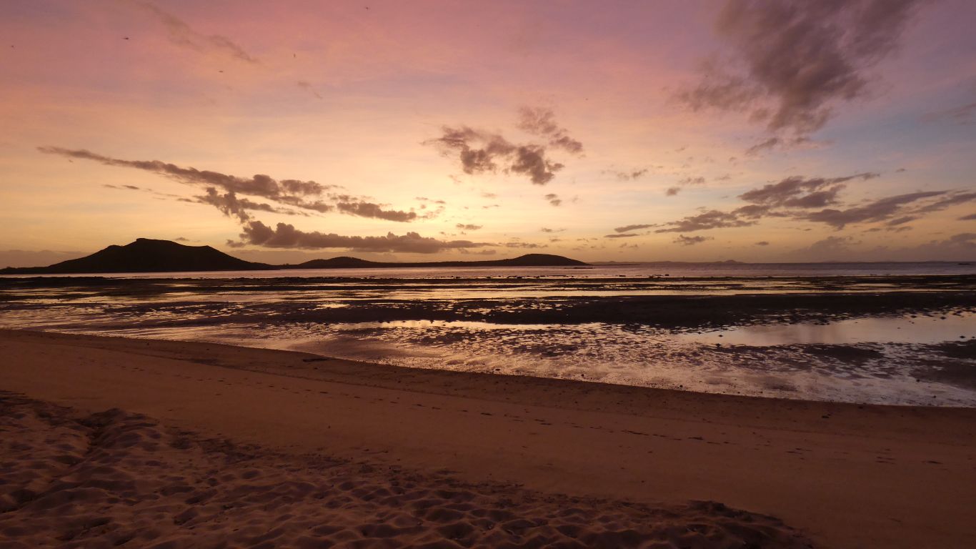
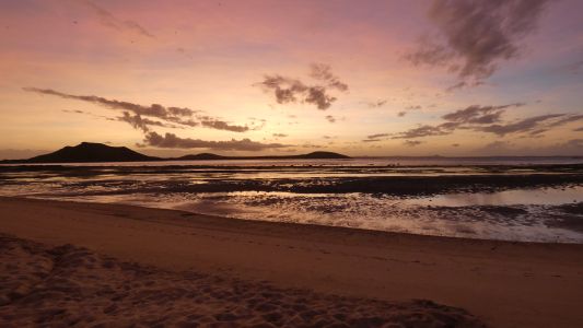
We like sunsets. Looking across Possession Island, with
High Island in front to the left. |
| | | |
 |
|
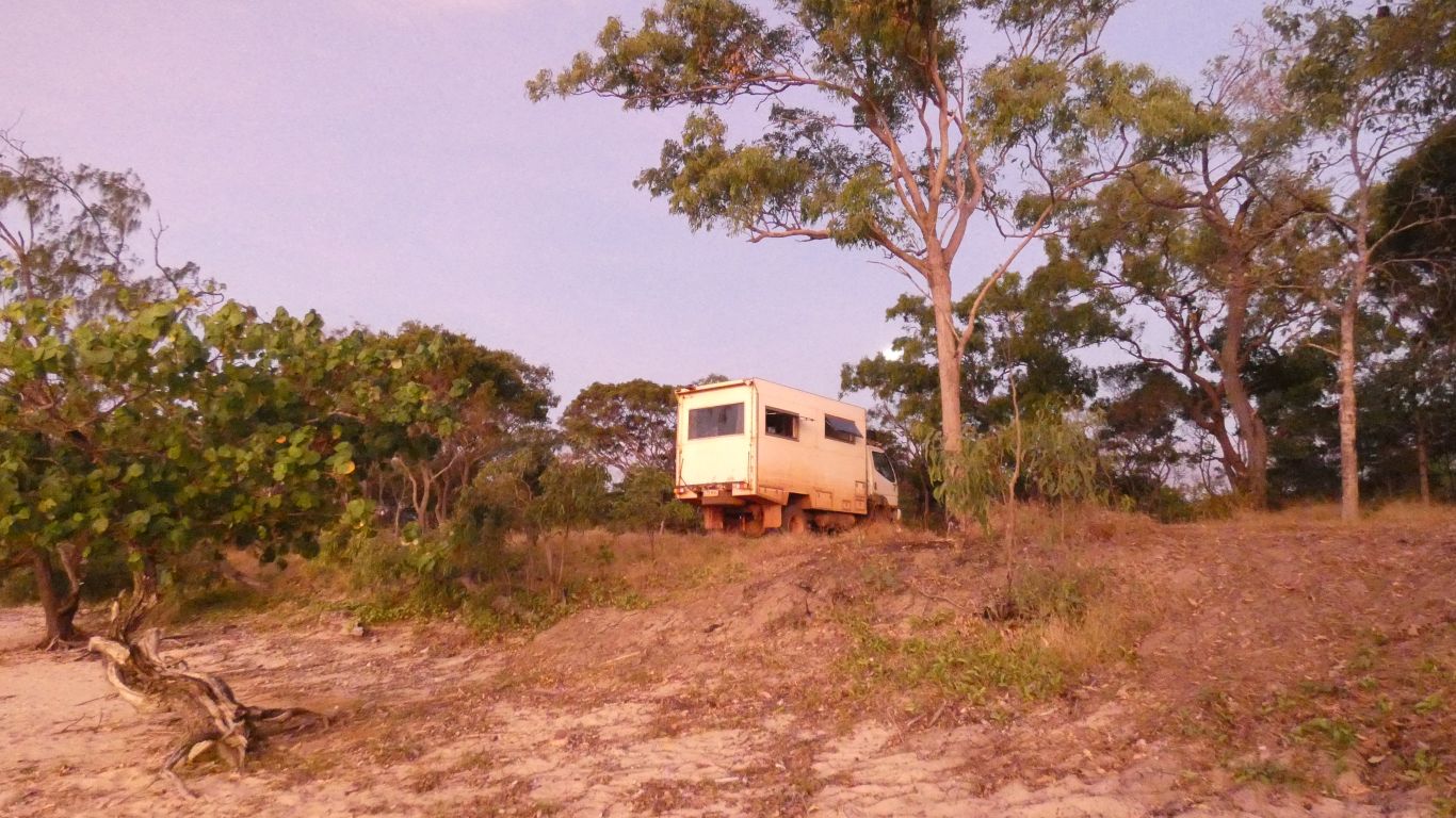
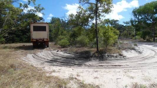
And while we are taking pics, a pic of the truck. The
sand bank its on is quite narrow. On the other side is swamp that is
currently dry, and further west mangroves. More of that later.
There's room for the truck, then the track, then the swamp. |
| | | |
| Wroonga Point |
|
June 17 - 20 2019 |
| | | |