It started out well, the ground was dry, the grass soft, few obstacles.
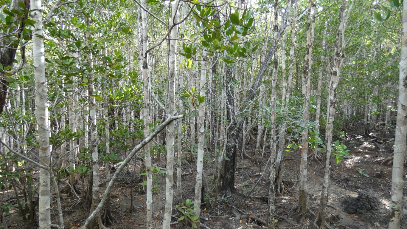
I could see the hill which would mark the edge, but once in the middle of the mangroves it disappeared. Too far south. Once committed I struggled through the mud and roots.
Eventually, not very long really, I emerged just south of Wroonga Point.
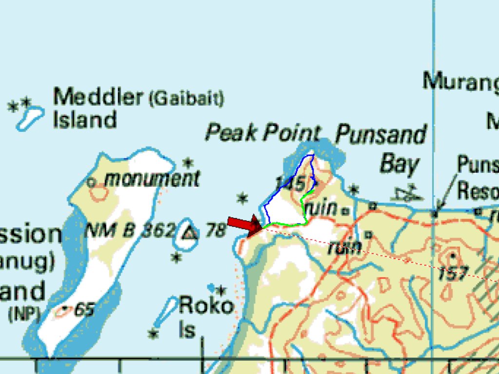
Campsite is the point of the red arrow.
The green line shows the first day exploration of a 4wd track that runs north from the track we drove in on. Its seen occasional recent use.
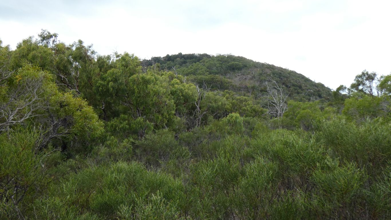
It heads upwards, partway up the ridge until a turnaround. I walked a bit further, north east, to what felt like the high point of the ridge.
Impenetrable vegetation. Including those horrible vines with the thorns pointing the wrong way (for me that is, the vines probably see things differently). I returned to camp to lick my wounds.
The blue line is the next day. It follows the green line but we (Ali and I this time) kept to the west of the high point to pass the impenetrable bit. Still heavy going but it allowed us to see what was in front and head forther north along the ridge towards Peak Point.
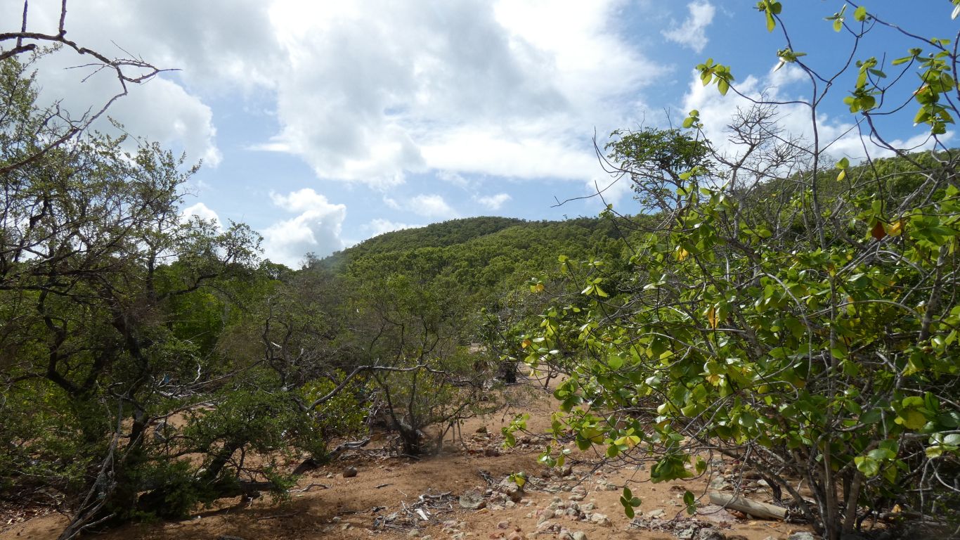
We descended from Peak Point to the coast, a long sidle across the hillside through open forest before finding the rocks.
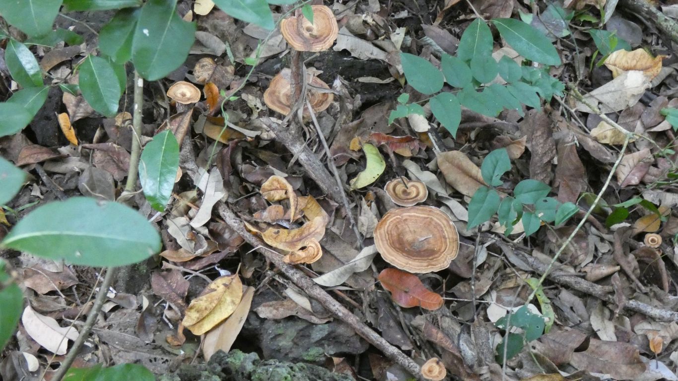
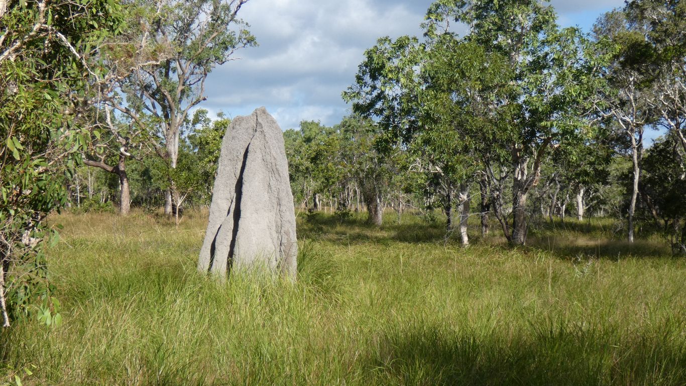
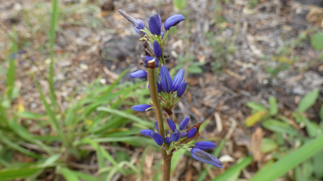
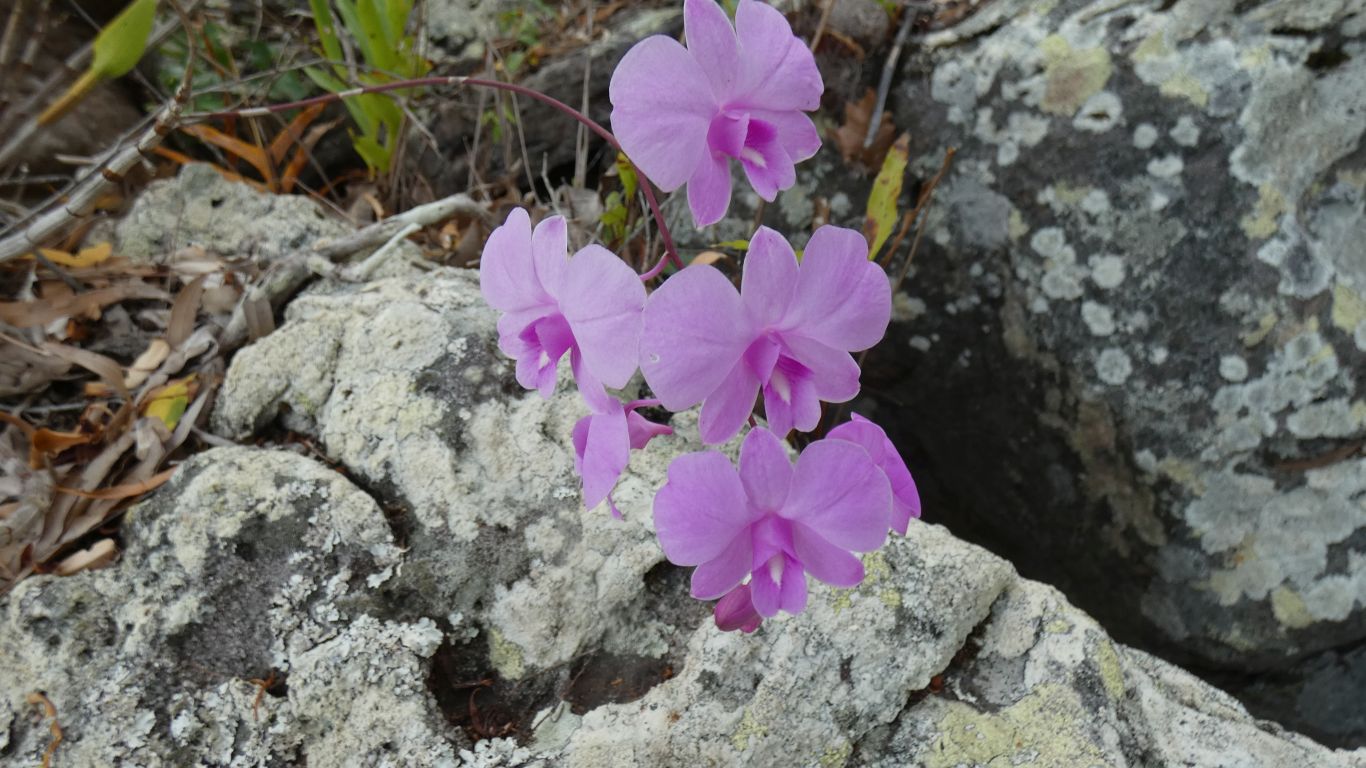
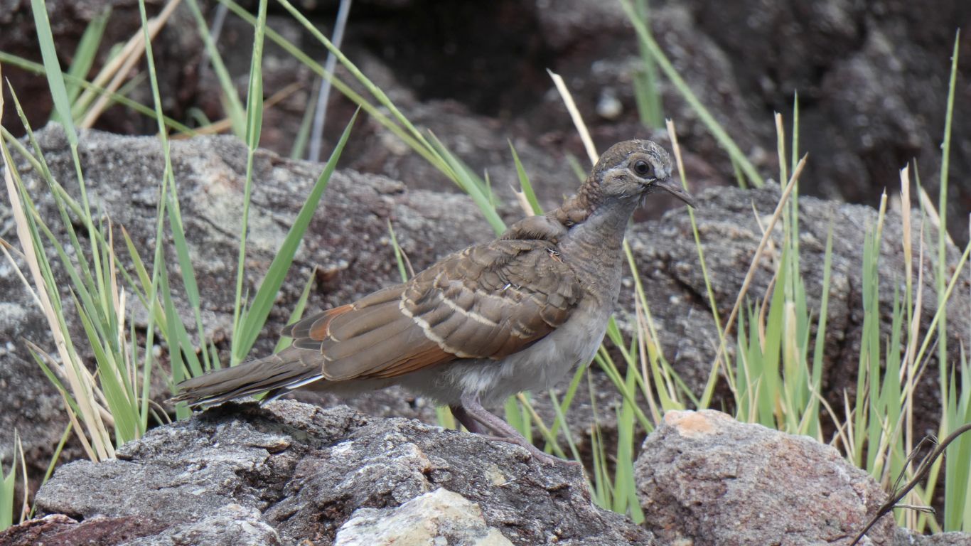
The plant life is generally interesting.
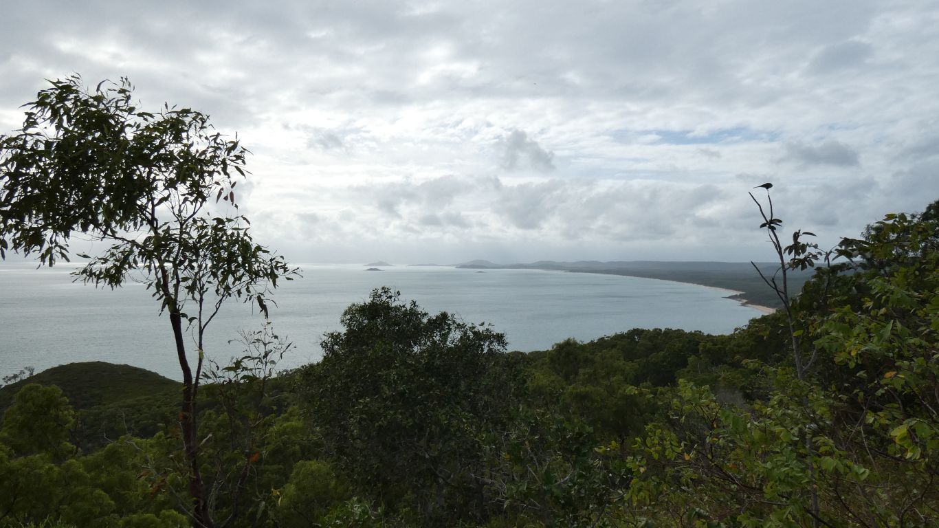
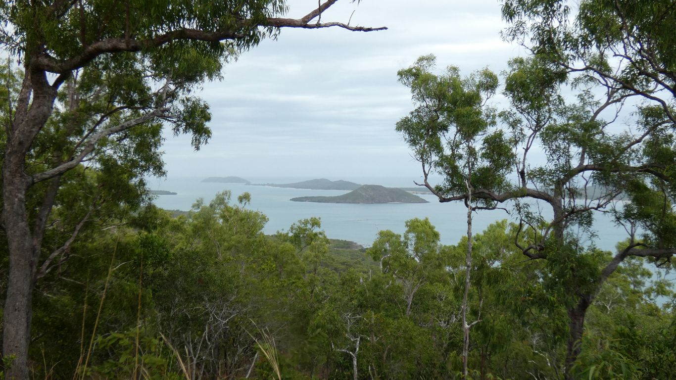
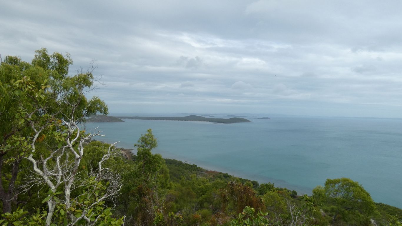
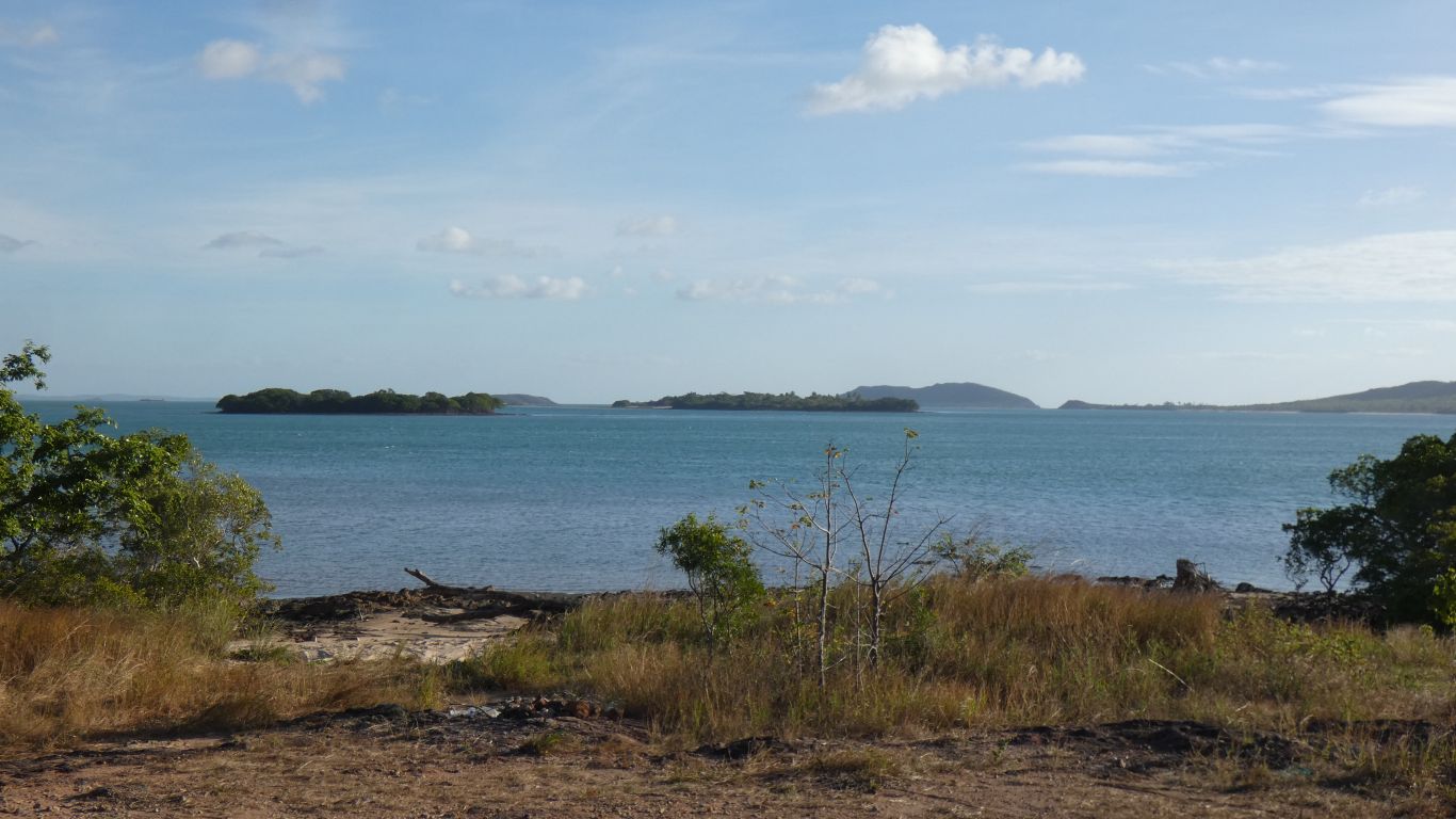
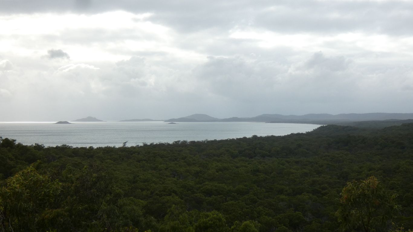
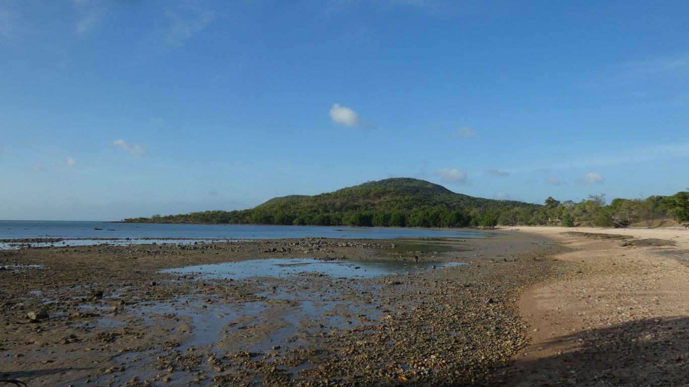
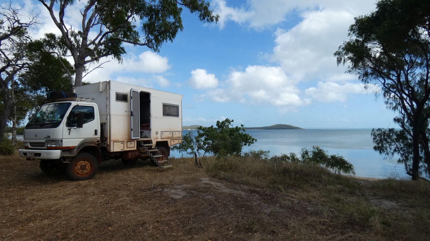
This is looking south towards Seisia.
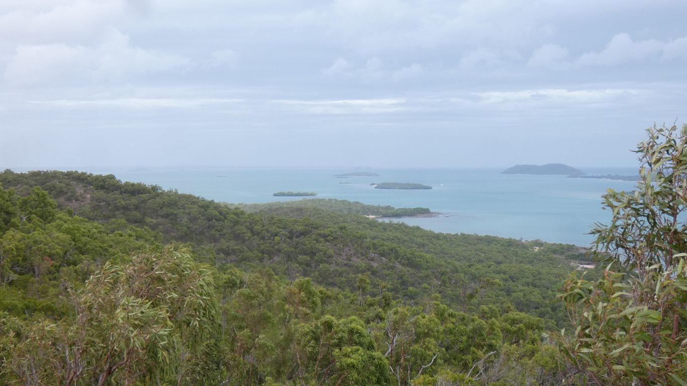
Roka Island, with jetty on the far side and pearl / fishing centre, is beyond Wroonga Point.
We are both cranky.
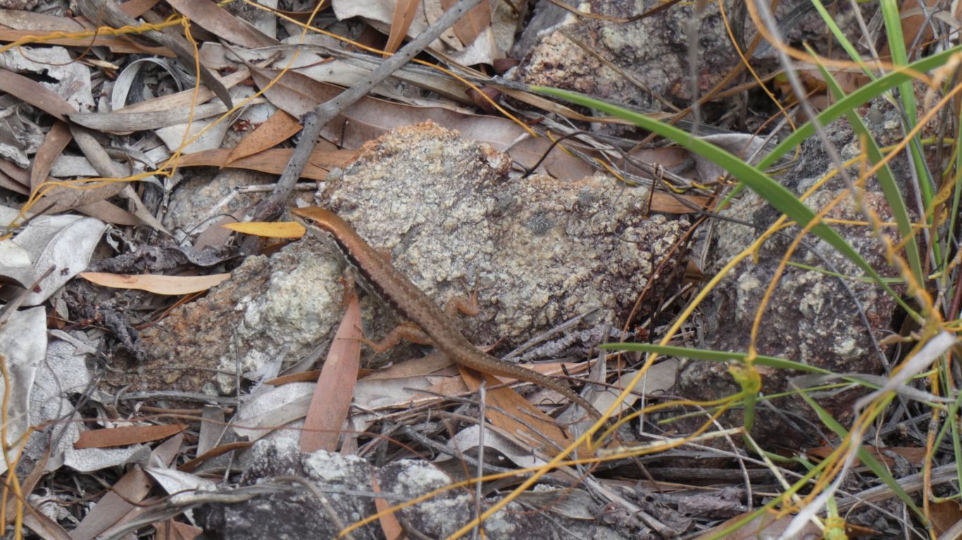
Meanwhile the lizard sits still, while we stand still to take a pic, and the green ants crawl up our legs.
When we are moving is not much better. Push through the thicker vegetation then brush off the ants.
Not happy.
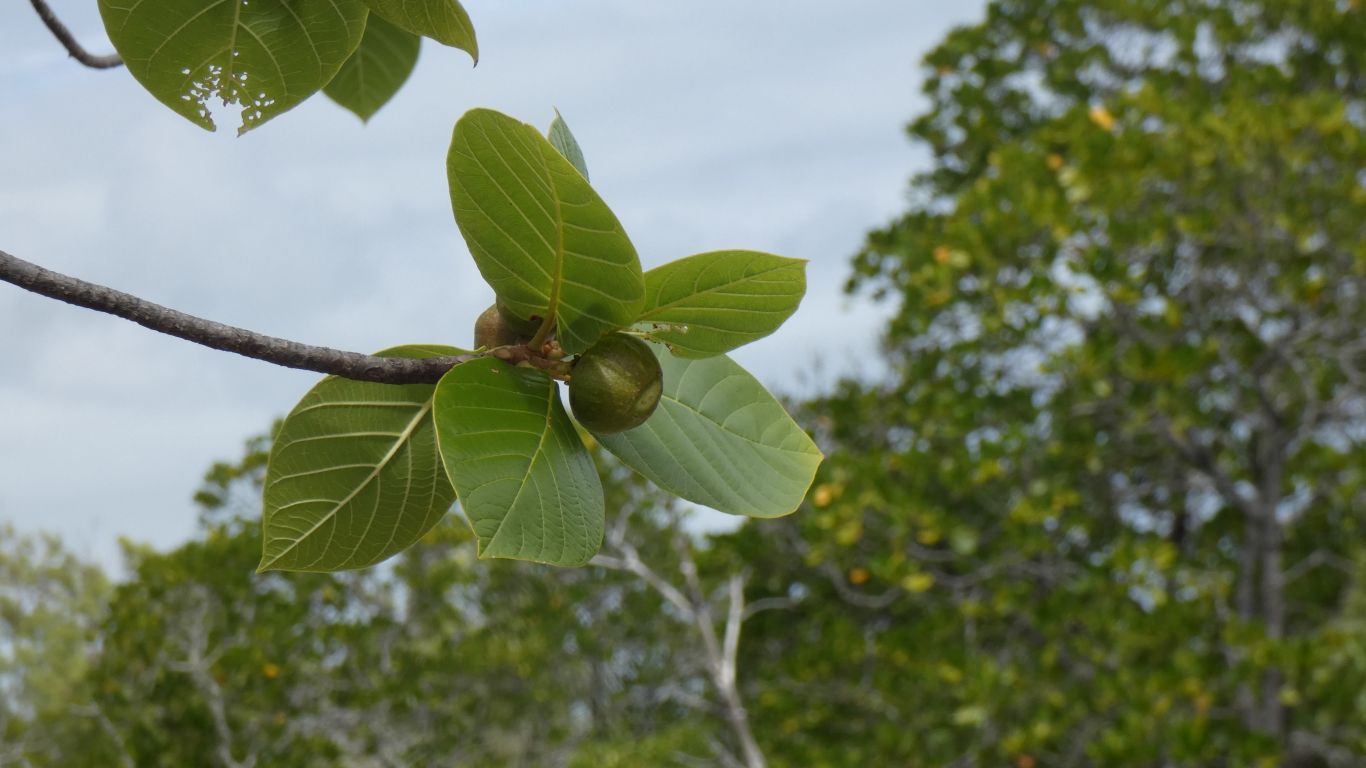
But here we are, next to the sea. Wondering what the fruit is. Knowing its only 1.45km back to the camp on rocks we've previously walked.
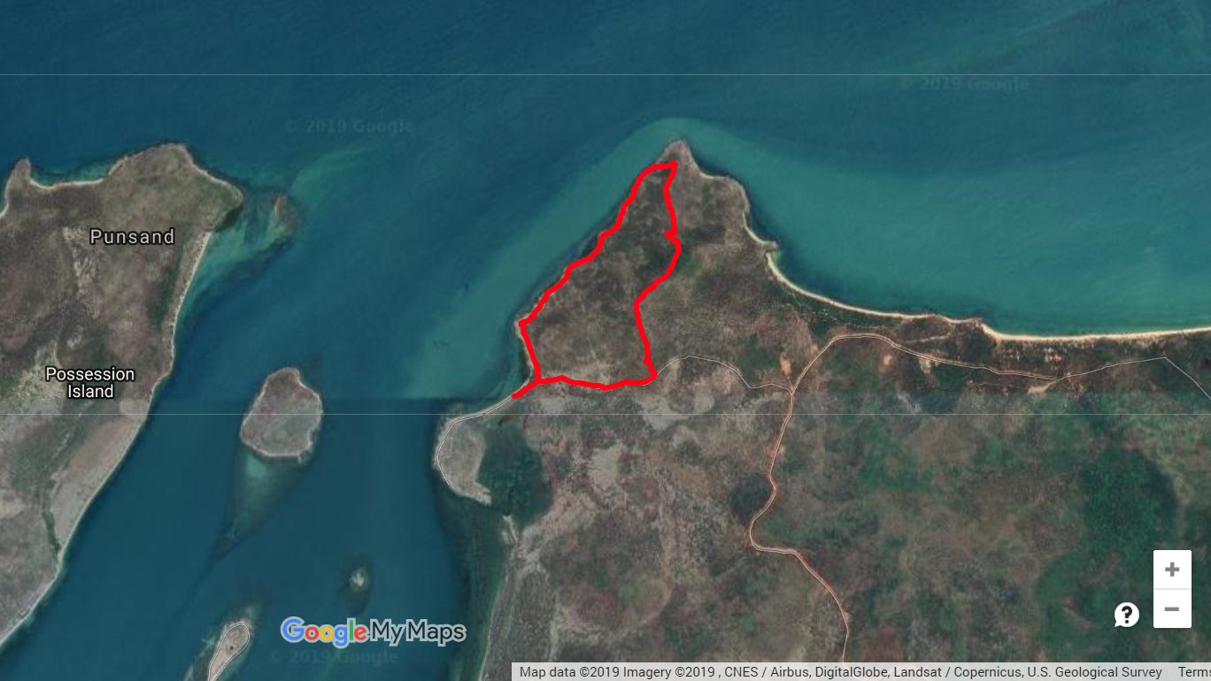
Wroonga Point is south west of our camp (the beginning and end of the red line).
The "hook" shape is easy to see. As are the swampy bits and mangroves.
We'll work out what they are later. We are a bit dehydrated, and very tired.
We spend the afternoon applying soov to green ant bites, nursing aching muscles, and drinking lots of water and juice. Just before tea we graduate to coffee.
The aching muscles are a strange sensation. We can't get comfortable, but we don't feel like moving. Sleep seems the best idea.
Tomorrow we will do nothing. Apart from deciding to do nothing we think we will probably be incapable.
But in amongst the pain is a memory of a couple of days pushing the boundaries a little and seeing a bit more of Cape York than we see in campsites, manicured tracks, or even out of the window. Somewhere a small sense of achievement.
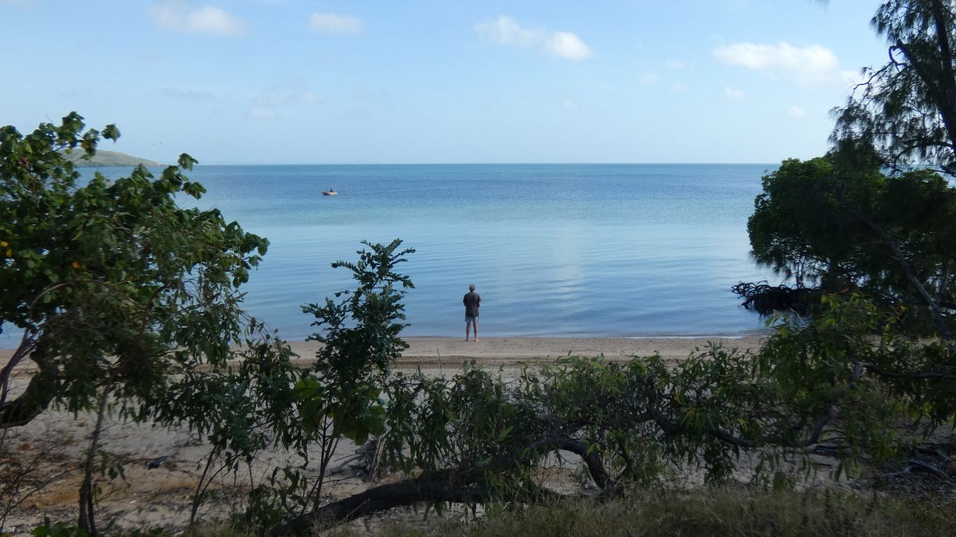
Still no fish. Perhaps because we don't really expect any. Fishing is like that.
The tides here are strange to us. One high and one low per day, instead of the usual two. This is the first day its really been high enough first thing in the morning for some fishing. About a meter of water on the mud flats.
The single tide per day is a feature of the Gulf (of Carpentaria) and the way water moves between Pacific Ocean (the Coral Sea to the east of Cape York) and the Indian Ocean (the Arafura Sea to the west of Cape York) through the Torres Strait. It seems there is a huge circular current set up in the Gulf, with timing that alternately pushes against, or reinforces, the normal tides during the day.
The tides don't cancel perfectly. Just while we are here. At other times there are hints of lower high and higher low in between the major high and low. If that makes sense. Very different to the dodge tides near Adelaide.
We've been at Wroonga Point for 8 nights. We frequently discuss how to travel more slowly, to have more rest days.
This campsite ticked a few boxes. A destination rather than an interlude. One to remember. A little sad to leave.
As well as bursts of energy we've relaxed, and also used the internet to plan our journey southwards.
The birds became used to us. The small birds were simply difficult to picture in the foliage.
Its more than 10 years since we saw the wonderful sign near the mouth of the Snowy River. A sign which described the presence of insects indicating water quality. In increasing sensitivity to poor quality. It described how environmental water flows in the Snowy had improved water quality at the mouth and led to return of some of the more sensitive insects.
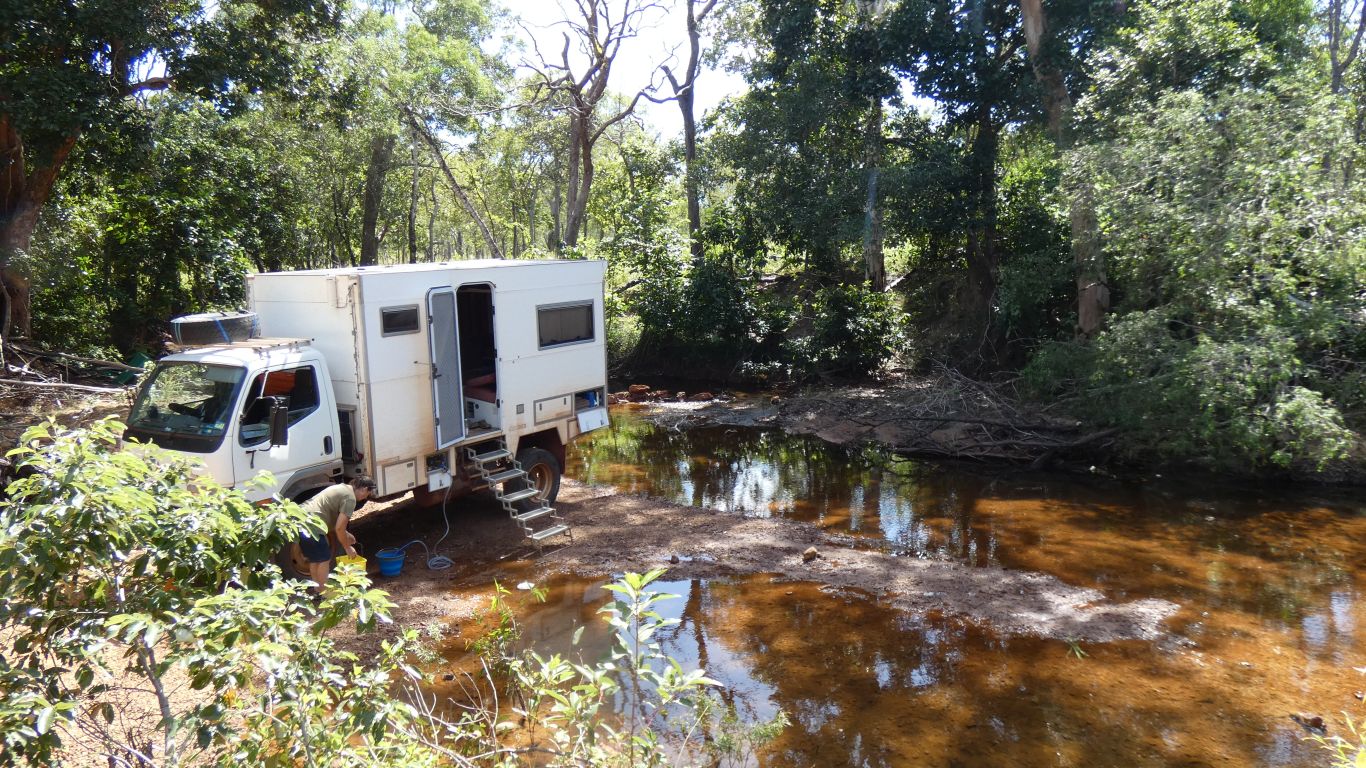
We are not experts, but there are some clues we look for before taking water. That its flowing is the first indicator. Fish and insects another. And of course what is upstream.
Its 10 days since we last filled from the Jardine River. Consumption of 20 litres / day is about right. We haven't been trying to conserve water. We had another couple of days left.
Our camp for the night. Within easy reach of Seisia for our trip to Thursday Island tomorrow.
Our batteries are nearly fully charged from the engine after the short, but slow, 10km, drive from Wroonga Point. Hot water has been heated by the engine. Now we have water we can have showers.
We aren't sure if we are hearing birds, or frogs, or ..... probably not birds, but a sort of croaking from at least a half dozen voices that continued most of the night.
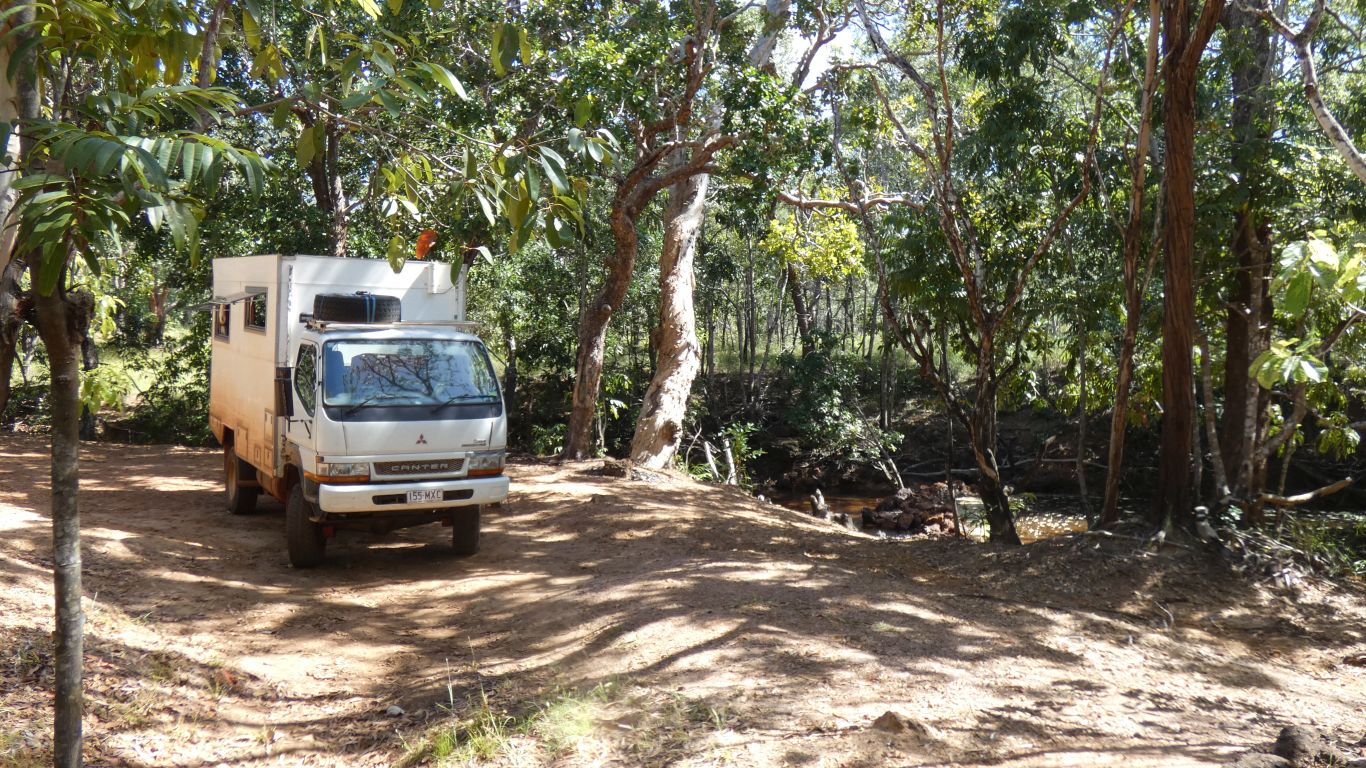
We are on the south side of the creek. There's a gravel dump on the north side of the ford. There's some very decrepit gravel screening equipment here, which is perhaps why the clearing and swimming hole exist. Further back a concrete pad for a hut.
Near the truck is a sign that says "Please Dispose of Rubbish Here". Apudthama Land Trust and Northern Peninsula Area Regional Council. There's a rubbish bin near the ford that looks like it was carried there in the last flood. There's a few cans, and a couple of old camp fires.
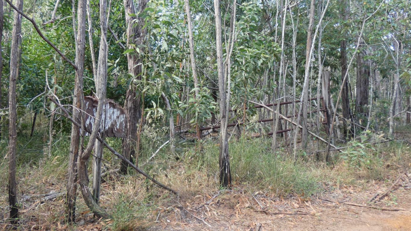
Further upstream along the track is "Laradinya" and a few more old gate posts. We hope we aren't trespassing. Where the creek meets the sea, about 6km to our west for crows, there are remains of a slaughter house (Tuckanoo) and the site of a WWII rest camp - we'll just have a rest from the war? Fishing, but no camping. The track is reputedly a bit boggy.
We are joined for a couple of hours by some of the staff from Punsand Bay on their day off. Here for a swim. We hope we haven't destroyed someone's romantic interlude.