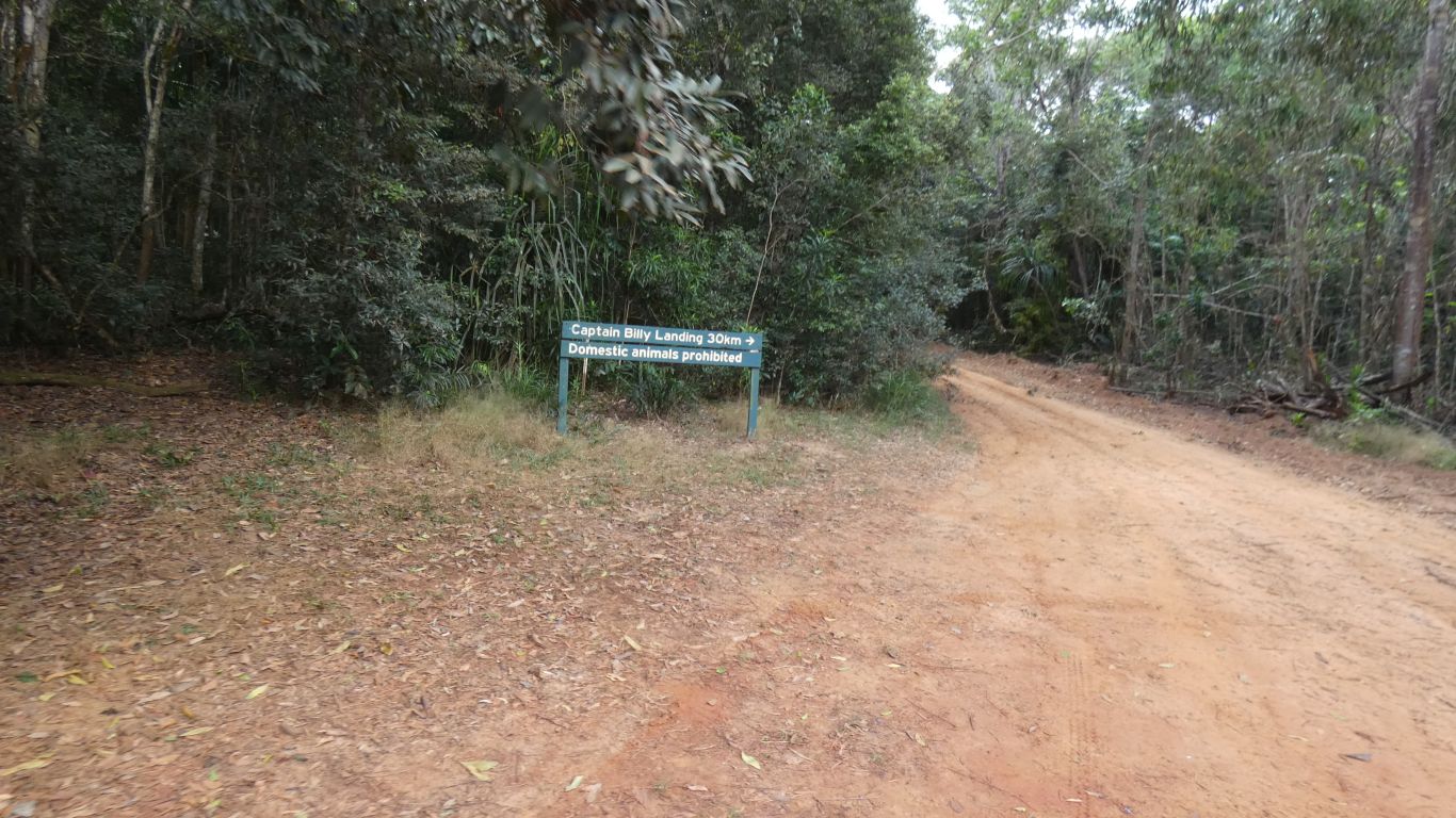
Captain Billy Landing is 30km.
Not even a little bit peeved at the extra 2km, our maps all say 28km. We won't bother measuring.
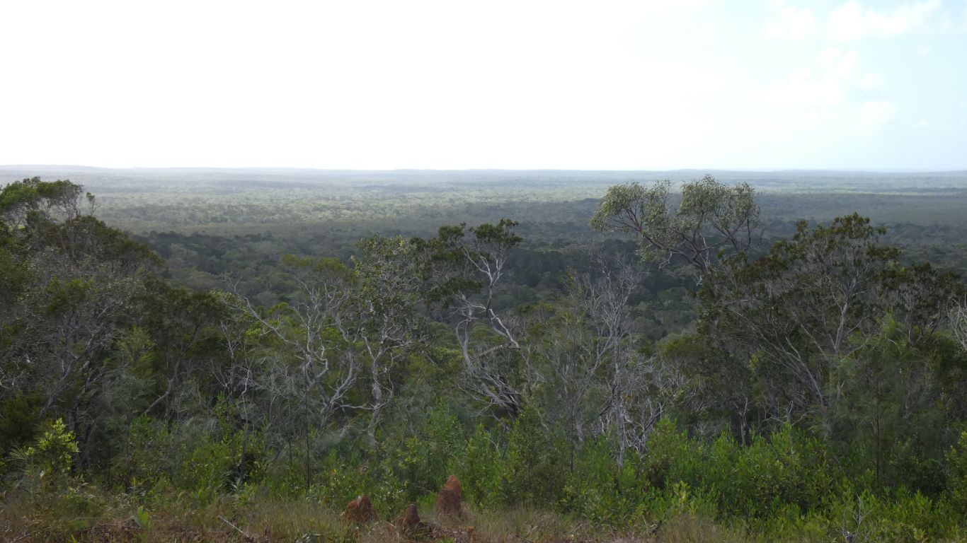
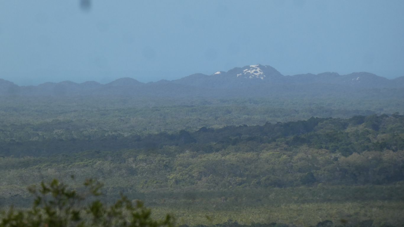
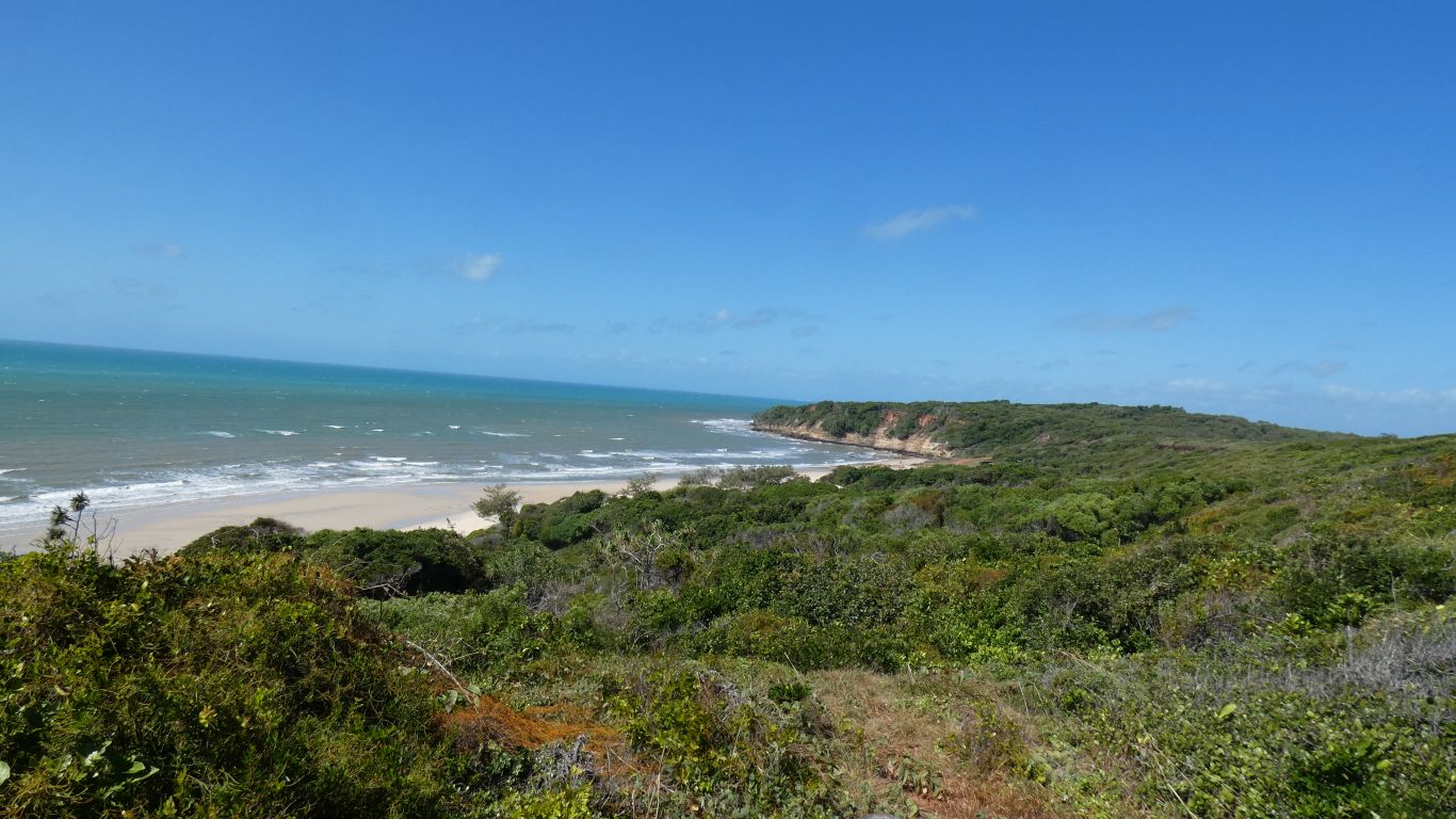
We look east from the ridge towards the coast, about 12.5km. Captain Billy Landing is due east of us.
The Jardine River has its source about 1.5km north of us, our track passes within 150m, as the river begins its journey north west to the sea.
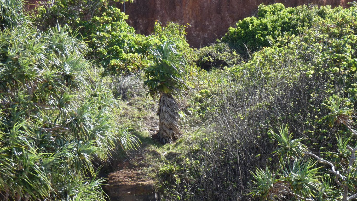
We are in "heathland".
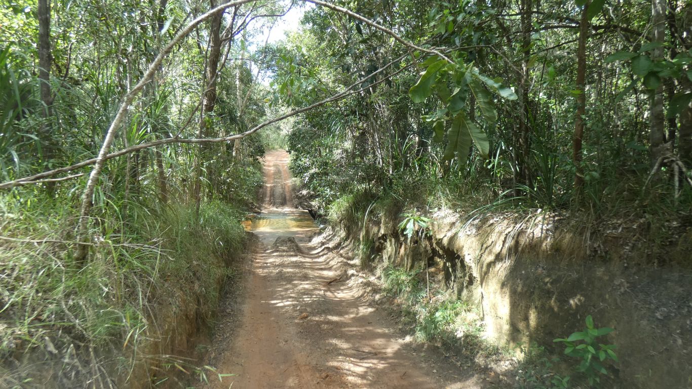
We cross a couple of small creeks. This ford had a concrete base and looked more awkward than it was (like most fords).
Our main concern was the overhanging branch.
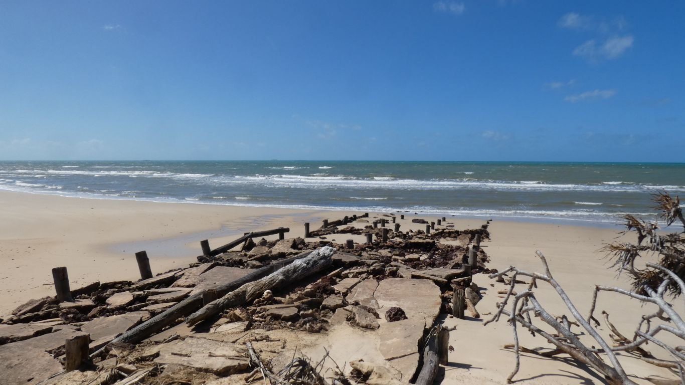
The landing had been visited previously, by Kennedy in 1848, on his ill-fated expedition with Jackey Jackey the only (Aboriginal) survivor. The map of expeditions we saw at Eliot Falls shows Jack's route through the middle of the peninsula, well away from this landing.
We think Jack was probably looking for a route for the overland telegraph which we think was built around 1883, west of the dividing range. The landing would have been a side trip, maybe later used for transporting materials. Jardine (1864-5) and Bradford (1883) were also shown on the map as by-passing the landing, probably following the ridge northwards between the creeks. Then again, they may have made a detour to the coast.
Difficult to get good consistent information
The landing is a flat area just below the cliffs. We think the Aboriginal name is Win Dang Ngu.
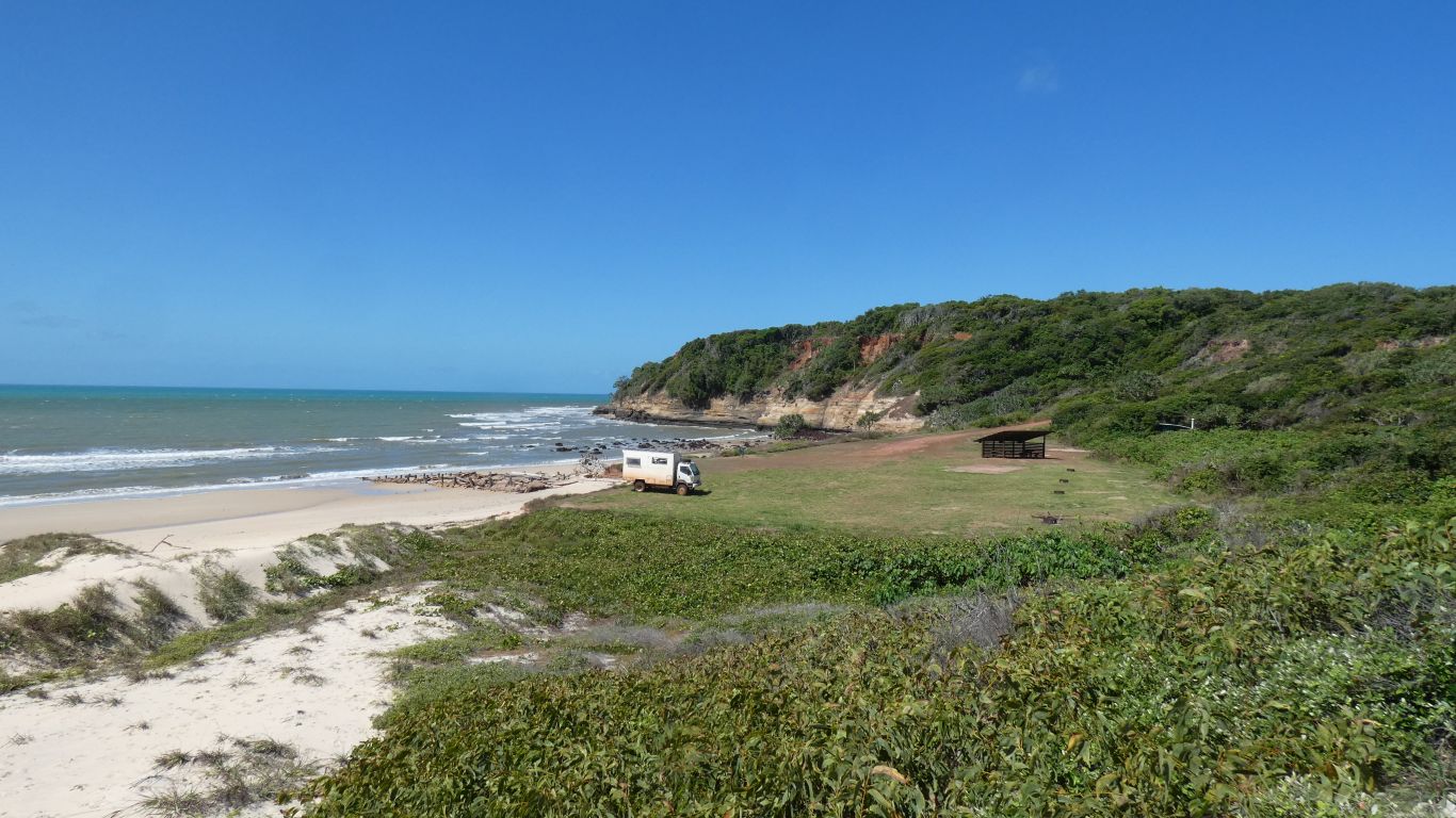
We expected to struggle for a spot as the site was booked out and its just a flat area, no marked or numbered sites. The shelter and four fire pits help.
But, first in best dressed. We are just short of the corner as there's a track down to the beach. We don't need a fire pit.
Ultimately we are joined by 6 other vehicles (1x3, 1x2, and 1). Well spaced out. Looks like the booking system works well to make us comfortable. We think the limit is 18 people. Just that we are not used to micro-scheduling our trips.
They may be uncommon, but we seem to meet them often. Perhaps we share a liking for relatively deserted, undeveloped, beaches.
In the space of a couple of hundred years the site has been developed, used and discarded. Now part of the Heathlands Regional (National?) Park.
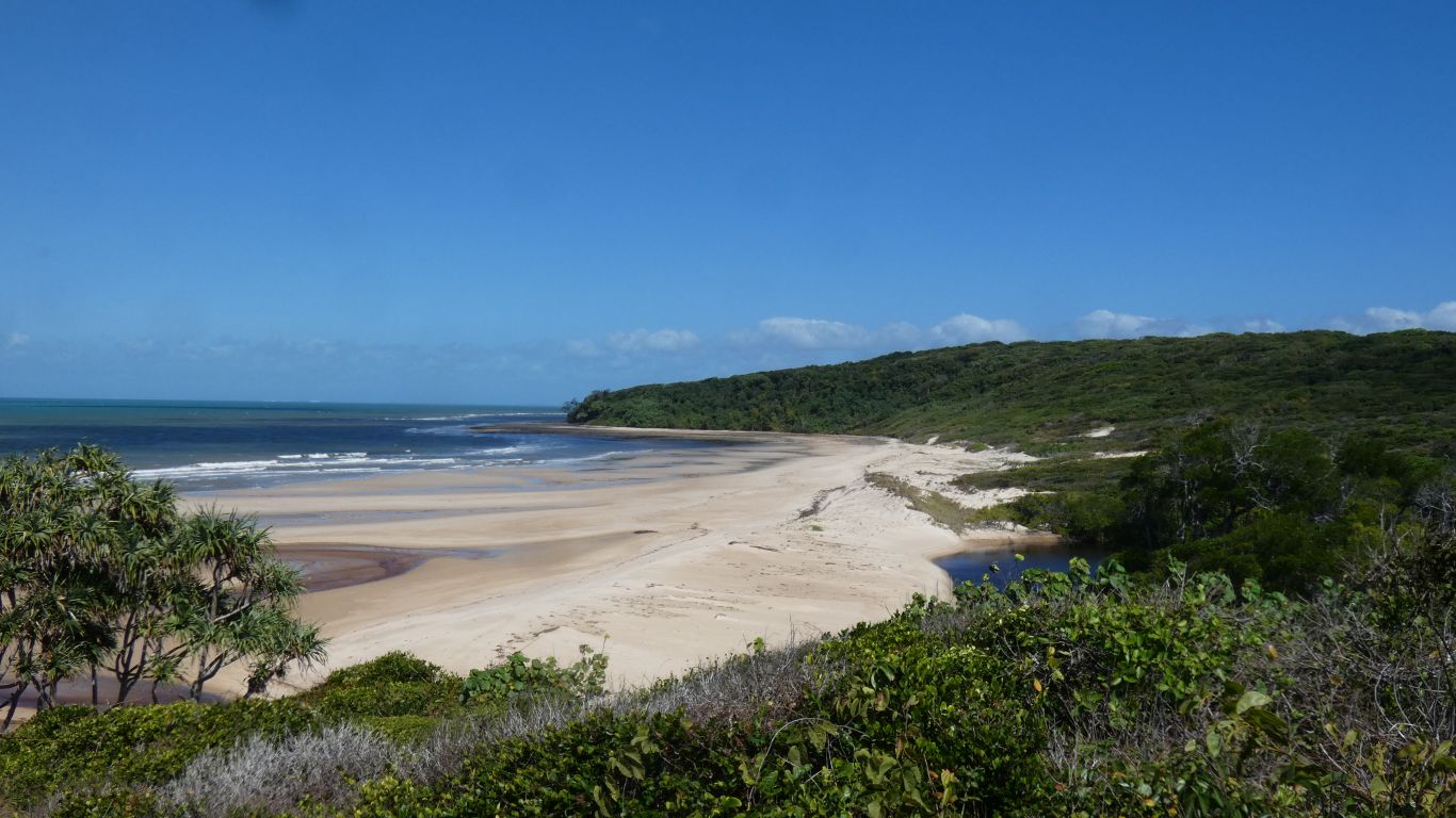
Having poked our heads into a couple of small sea caves we walk about 1.3km to reach the next beach, and next headland, to see .... another headland.
We have no doubt that in the past people have driven further than we can see.
There's a creek, that is tinged red/brown, with some mangroves inland. We suspect prime crocodile real estate. Its the outlet to the sea of the last creek the track in crossed, about 3km before the landing.
Perhaps tomorrow, or the next day, we'll carry water and tracker and walk further. And there's also a string of beaches to the north to walk along.
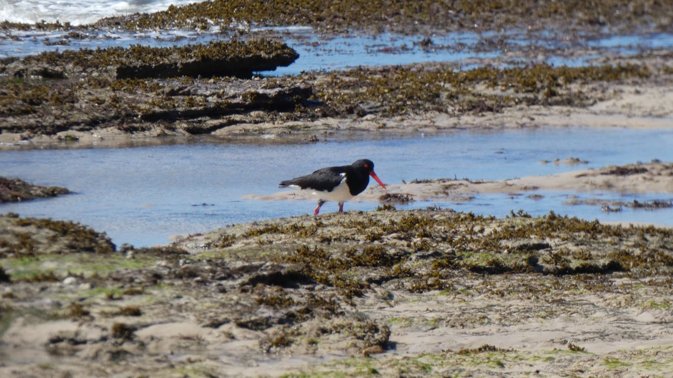
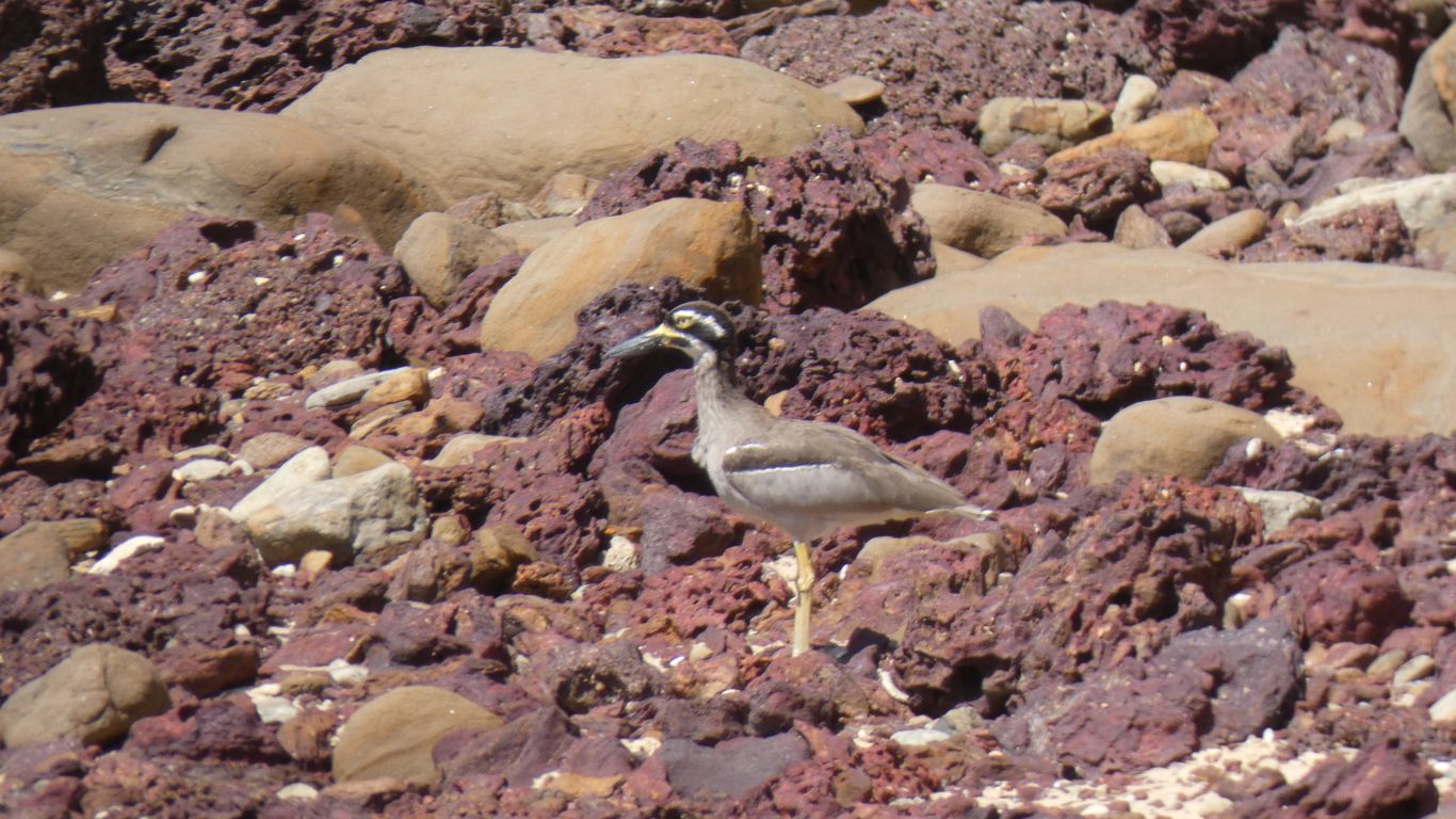
The continuous wind ruffles feathers.
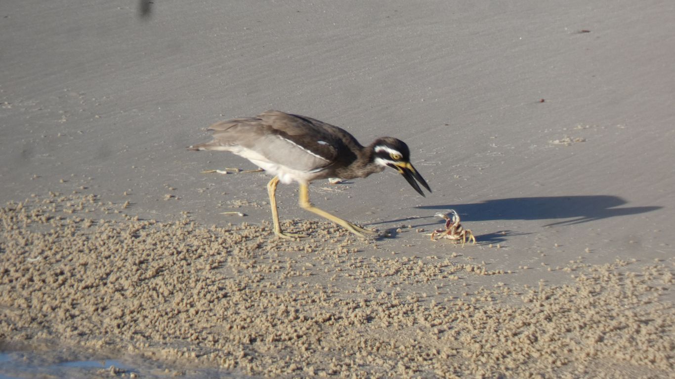
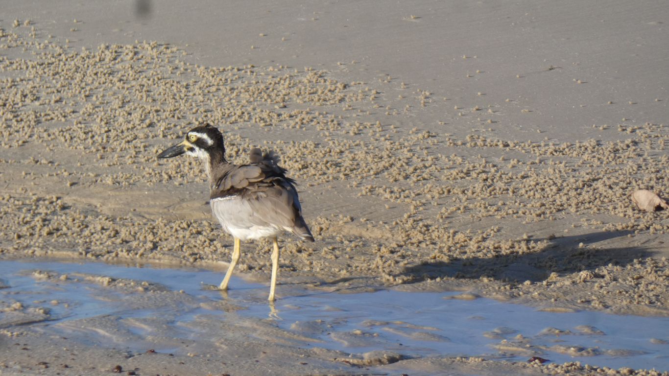
Just as the curlew was about to deliver the coup de grace it was startled and flew off rapidly. One of our fellow campers playing with a drone. The curlew went hungry, the dismembered crab remained on the beach. The drone's battery expired. The pilot oblivious of curlew or crab.