After depositing our rubbish at the Portland Roads Rubbish Dump that is.
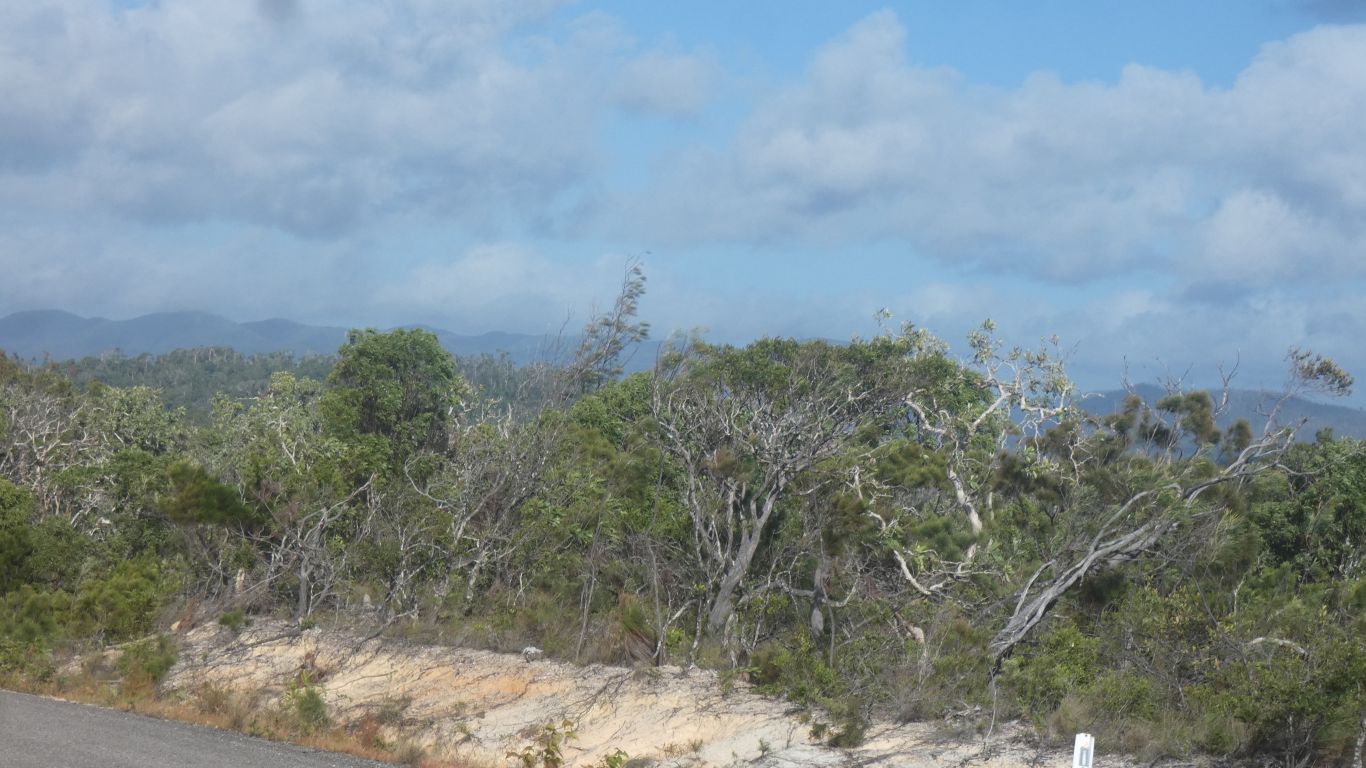
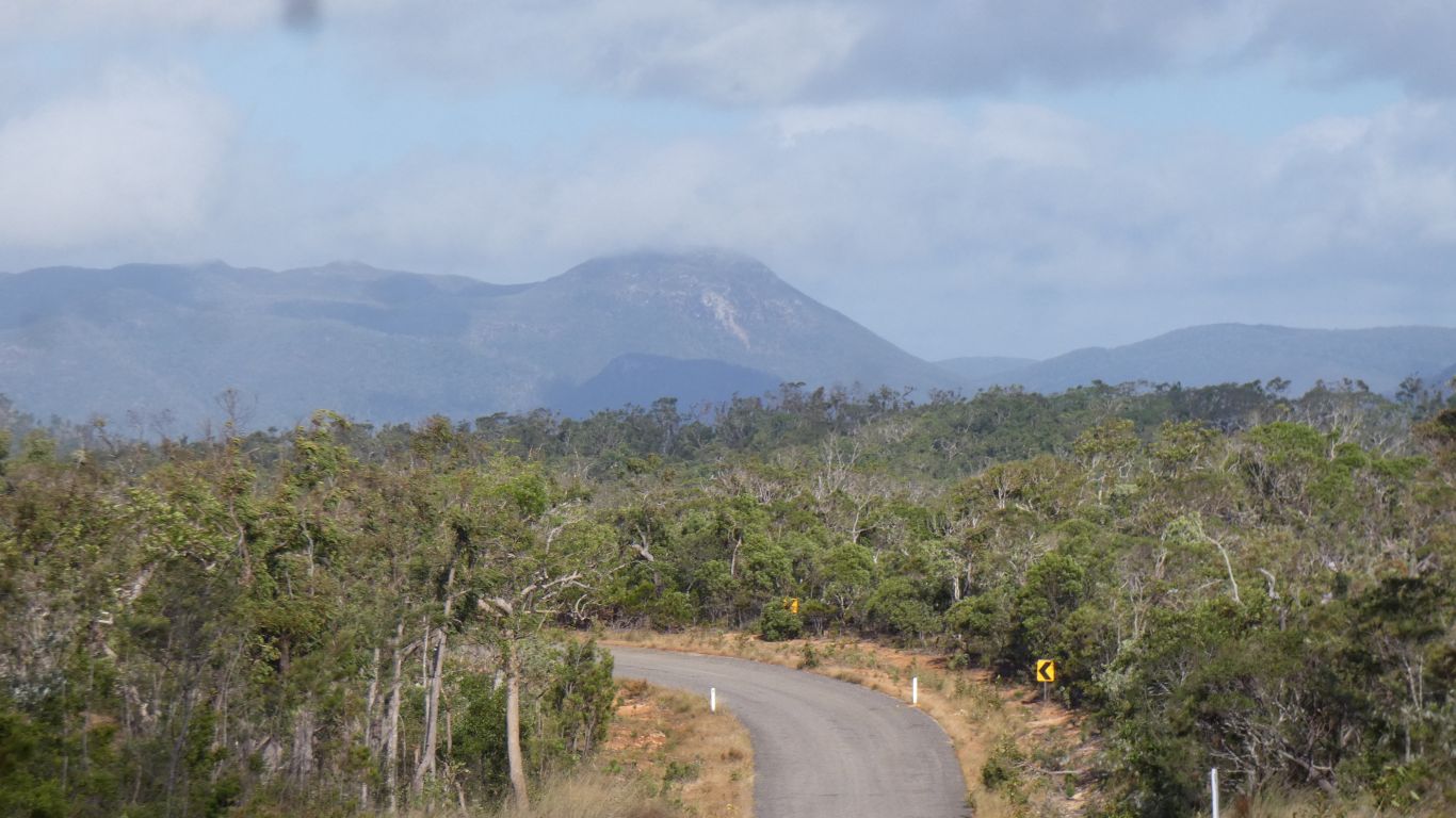
The geography is a bit contorted. It seems far to our west is the Great Dividing Range. Nearer us is the Dorriwill Ridge, which is probably part of the Nelson Range. Closer again is the Iron Range, which is what we think we are driving through.
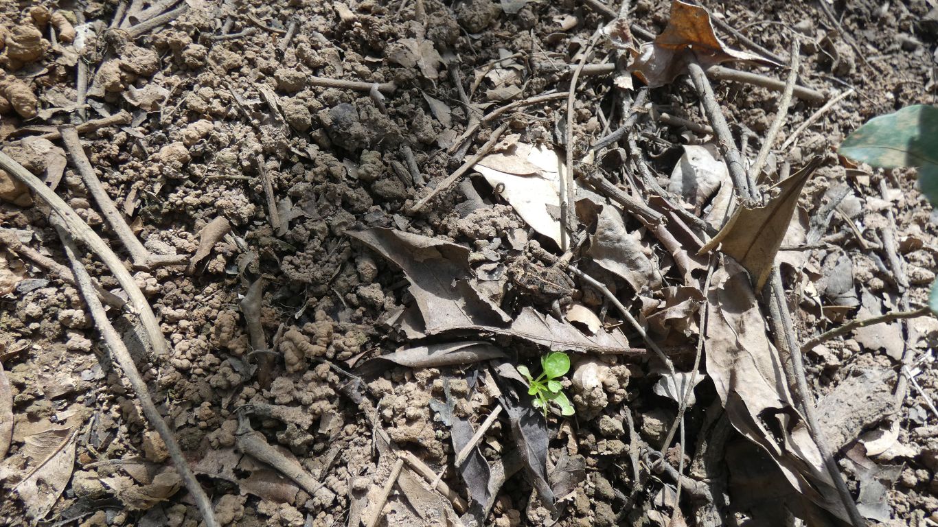
Yup, there's a frog in the pic.
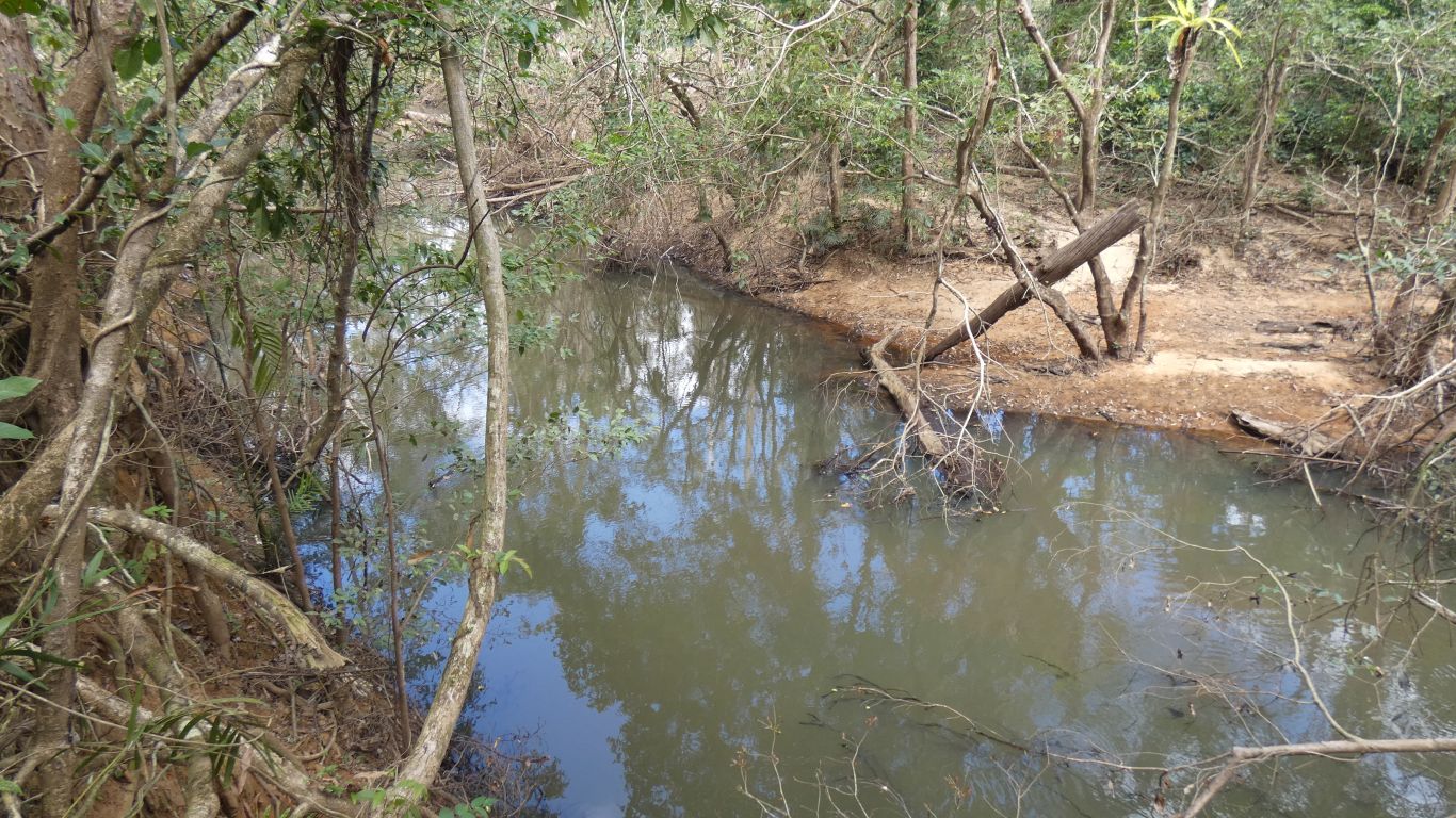
There are two signs before the track. The first advises of crocs. The second has an arrow to the track, which fords the river.
Durrrr.
We disturbed a large pig while exploring the bank.
We also saw a riflebird but weren't quick enough with the camera.
It proved to be a bit over knee deep (for me, it would have been deeper for Ali) at the ford with a reasonably solid sandy bottom.
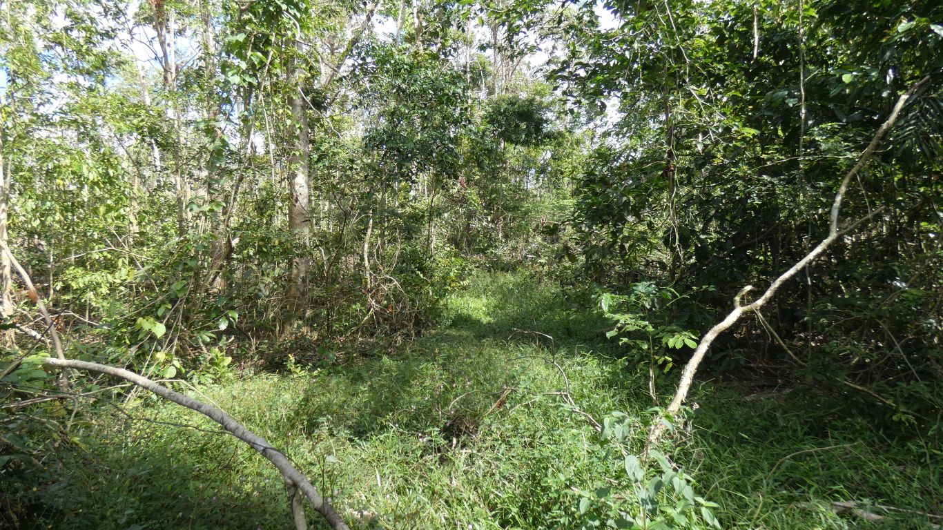
The track hasn't been used for a long while, even without the effect of the cyclone its overgrown and difficult to see. A bit surprising for an old road.
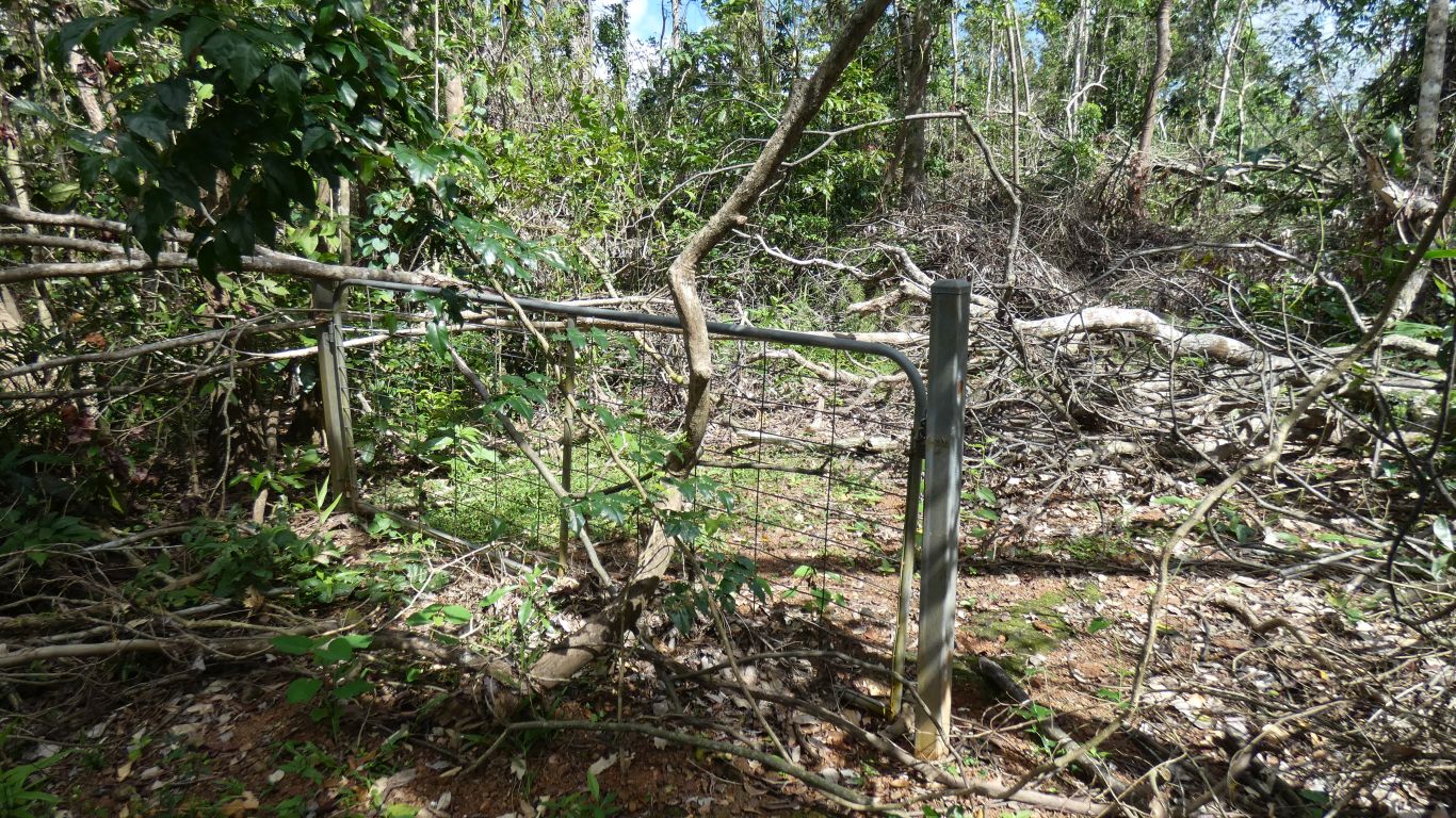
The track beyond the gate is both overgrown and blocked with fallen trees. I persevered for another 100m with the track becoming increasingly indistinct and confused by many pig tracks.
I called Ali on the radio and said I'd see her at the river in about 10 minutes.
Half an hour later I found the gate again. Even with gps it was difficult to return the way I had gone. Perhaps I should upgrade to one that has a proper compass rather than one that derives its info from a gps signal - I had to be moving for the compass to work, but the bush was so dense I couldn't walk fast enough. I had to keep checking I was actually on the reverse of the way I walked in - which is surprisingly difficult.
I'm reasonably experienced at recognising tracks and where I've walked but this mess proved a bit of a challenge. When I analysed the track on the computer when I turned around I strayed at most 20m from my track in. It may as well have been a km.
When I found the gate again I automatically assumed I had correctly retraced my steps and I was on the far side of it from the river. After a few steps I realised I was walking the same way I walked in, the bush looked just familiar enough to sew the seeds of doubt and I was proceeding cautiously lest I make my situation worse. I compared the pic I took of the gate to where I was and the line on the gps. Then turned around and headed the correct way to the river. Still proceeding cautiously.
Perhaps I should mention that the sky was overcast so no clues from the sun. And flat land beyond the river bank meant no clues from the terrain. Add the effect of pigs and fallen vegetation a recipe for potential disaster.
It would have been so easy to become lost. Perhaps I'm pleased I realised it was possible before it happened.
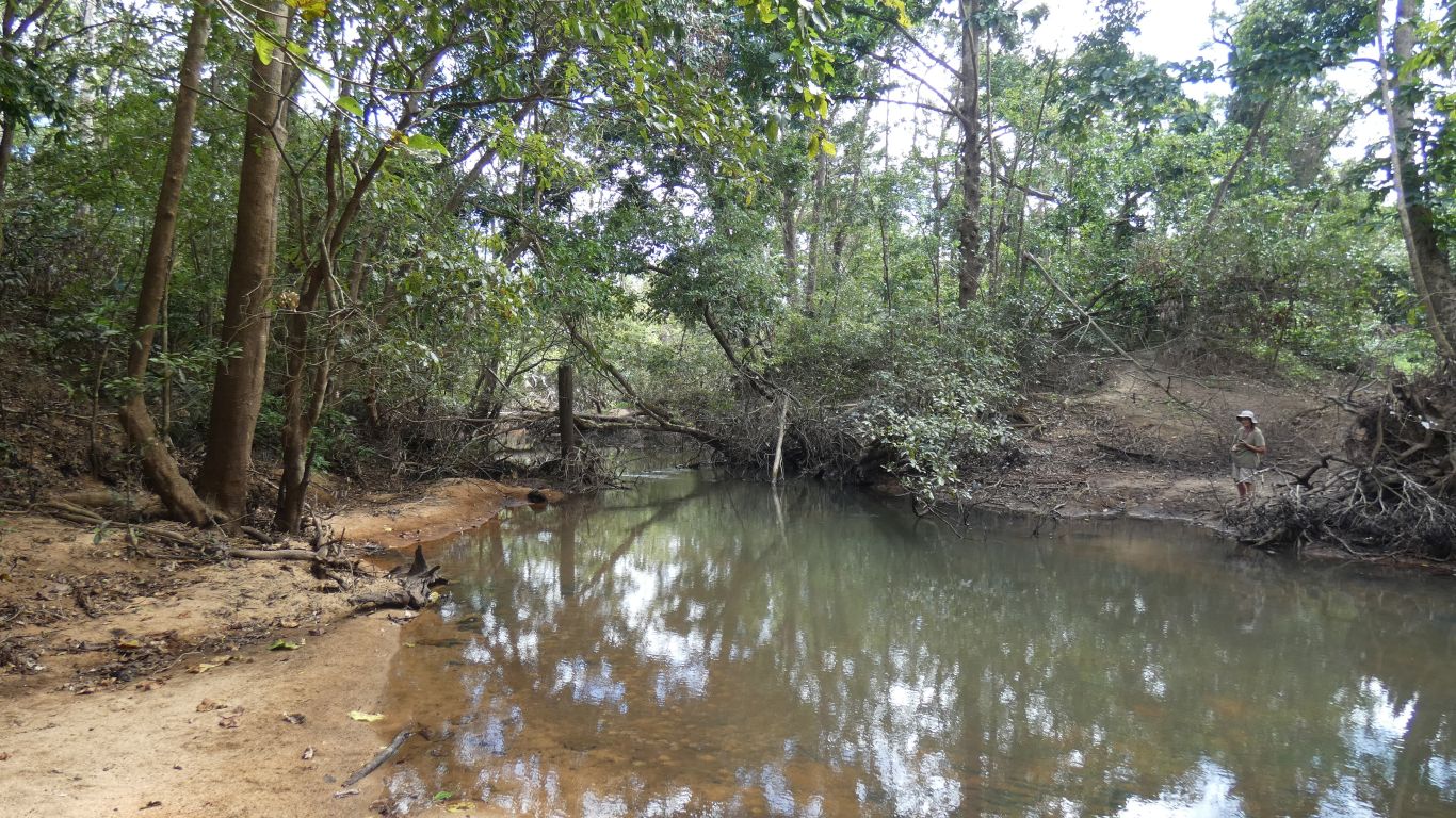
Just before this pic was taken we saw a snake swimming down the river. Not quick enough with the camera. Ali had seen no sign of crocs, we would have been a bit surprised, they would have the same problem with fallen trees in the river as we had in the bush.
So I forded the river again. Pleased to be home after a short, unplanned, less than smooth, (possibly over dramatised!), rainforest bush bash.
We are in Australia's most northerly lowland rainforest. The variety of birdcalls is a clue for us. A forest that is silent for most of the time, but every few minutes a different bird call.
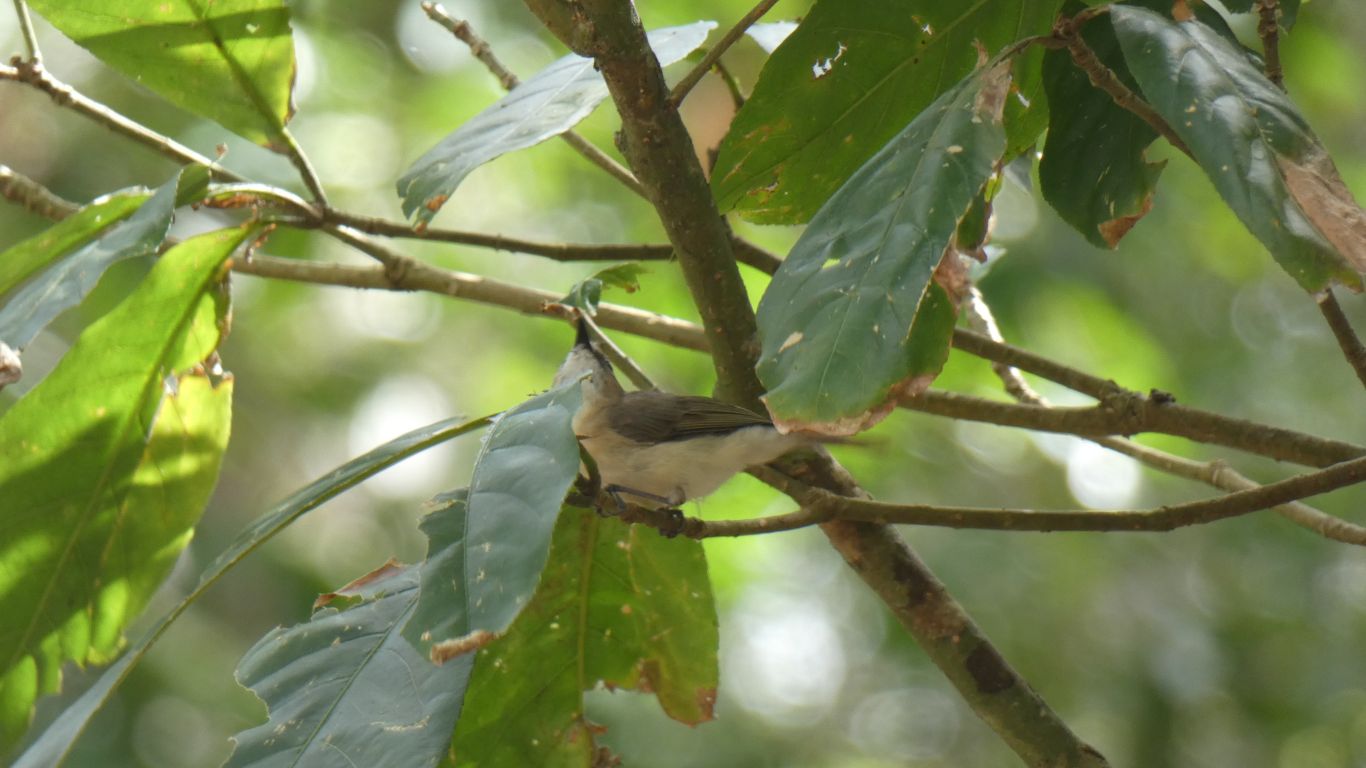
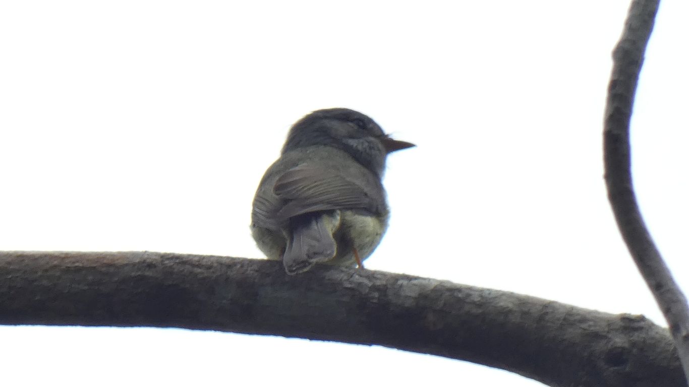
First along was what we think is a mistletoe bird. Not uncommon. We watched it finish off a juicy bright green caterpillar.
Very difficult for us to photograph, the small birds are a long way away and rarely still. We see some movement from the corner of our eye, and by the time we've realised what we are looking at its moved again.
We have no chance of matching calls to birds we see. We can only marvel at the skills of the people who can. Maybe time to upgrade from bird book to "app".
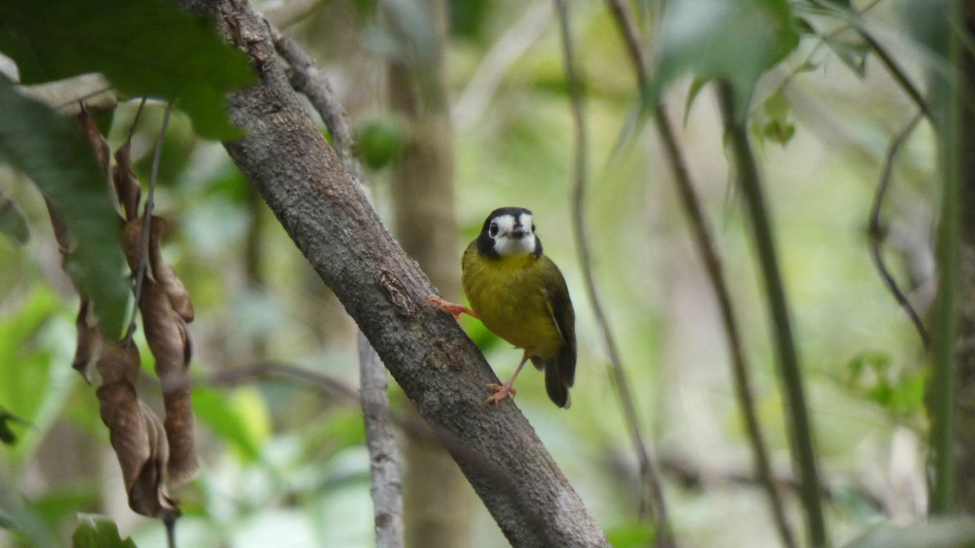
It hung around for many minutes, looking in the bark of tree trunks for grubs.
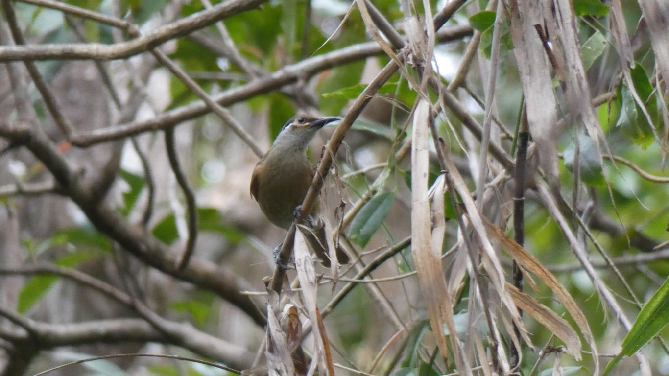
We didn't know such birds existed. A quick visit before it disappeared into the bush. The camera focus never quite works as well as we hope, but then this 100mm long bird is at the limit of the camera zoom (equivalent of 1200mm optical zoom for a 35mm camera). To our naked eye the birds appear as dark silhouettes. Its not until we look with binoculars and camera the wonders of nature are visible.
Of course they are common, and sedentary, according to our bird book. Its range is rainforest in Cape York Peninsula south as far as the Chester River (100km south of us) on the east coast and Archer River (75km south) on the west coast.
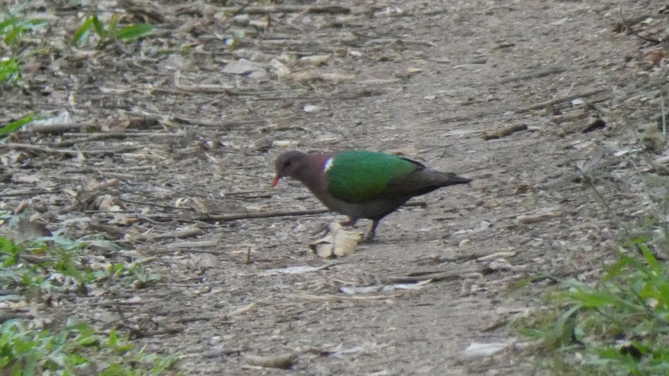
It was a green winged pigeon. Pecking its way through whatever has been disturbed by the occasional vehicle that was driven along the track.
We had thoughts of repeating yesterday's chair sitting bush watching but didn't have sufficient patience. We are restless.
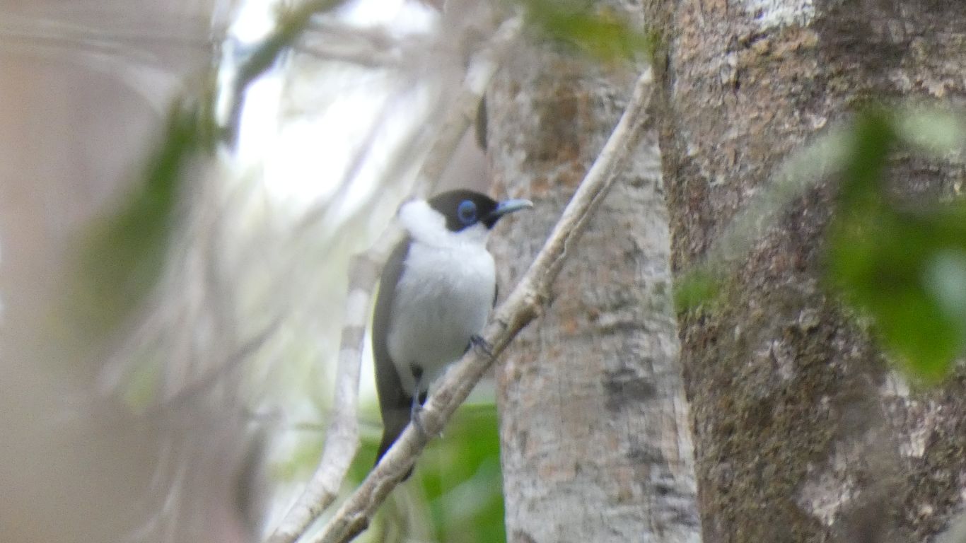
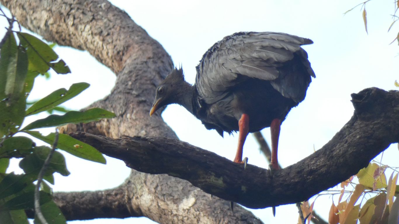
However, high in the trees we spotted a scrub fowl. We've seen the resident brush turkey around a few campsites and for a while were confused. This doesn't have the turkey's squashed flat vertical tail, nor its red neck. It does have a bit of a crown and the right coloured legs. Therefore its a scrub fowl.
We leave with an impression that if we'd stayed a few days the birds would have become used to our truck (as they usually do wherever we are) and we should have booked longer.
We also leave with an impression that this is a very different rainforest to the Daintree.