| |
|
|
| Tjaynera (Sandy Creek) - Litchfield National Park |
 |
May 28 - 29 2021 |
| |
|
|
 |
|
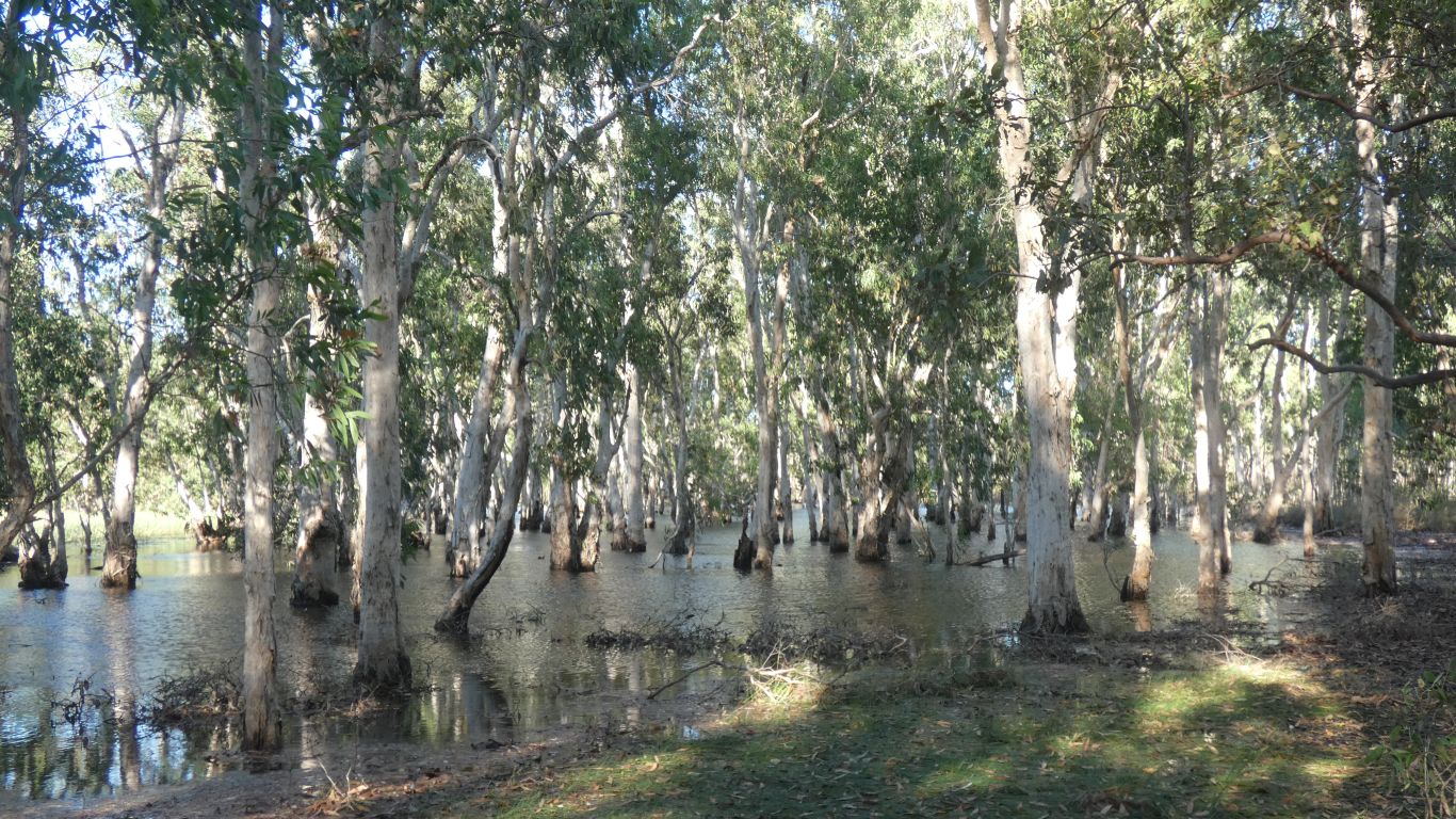
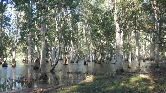
In our new, endless, quest for waterfalls we moved camp
after two nights. A brief stop at Tabletop Swamp on the way past.
Nobody home apart from the trees. |
| | | |
 |
|
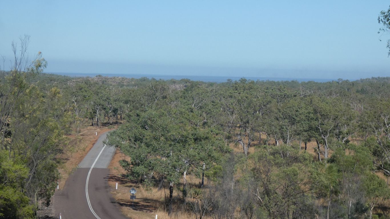
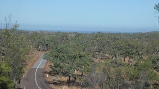
Down the hill from the Tabletop Range, westwards. |
| | | |
 |
|
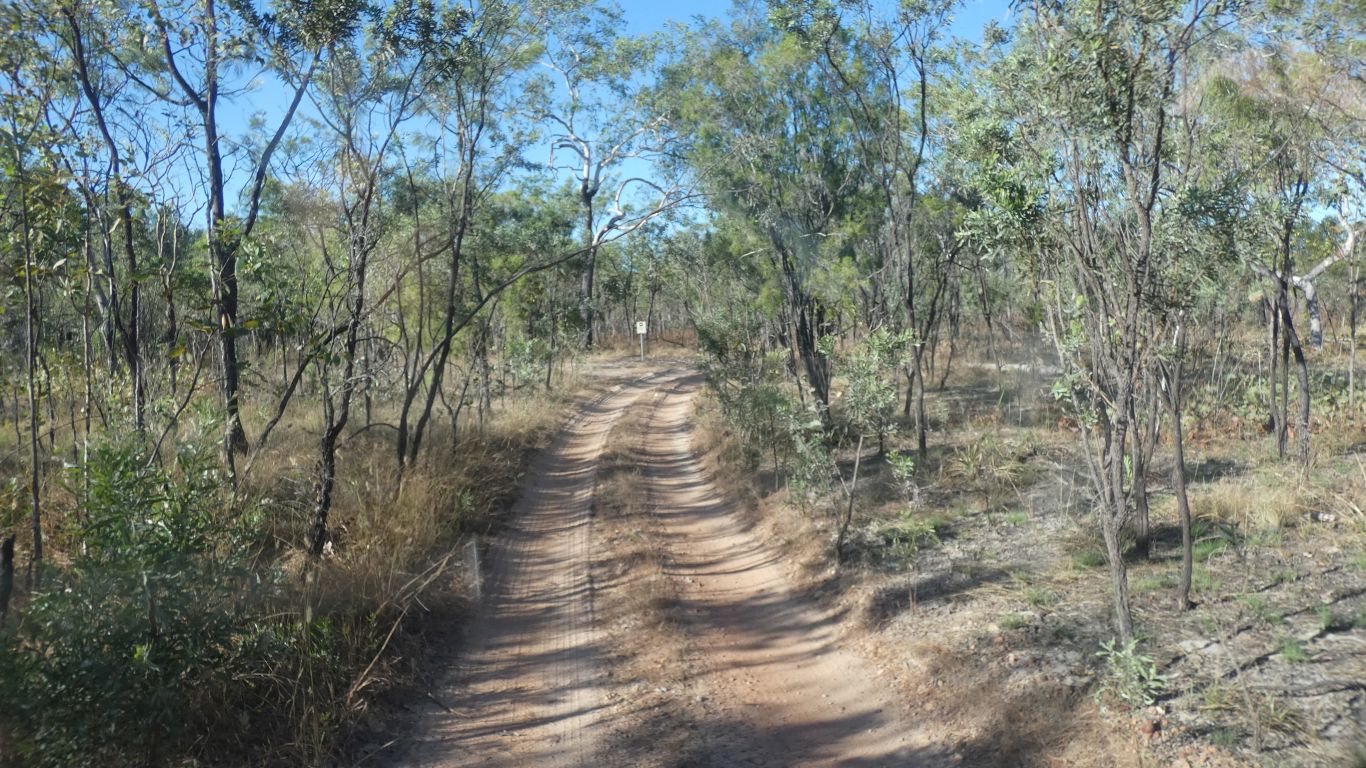
Then south, along the Reynolds River track. |
| | | |
 |
|
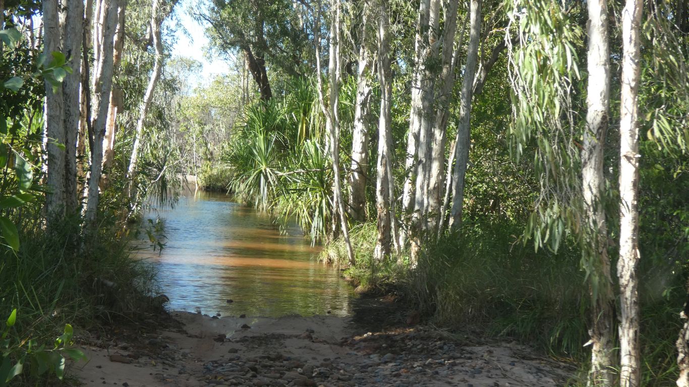
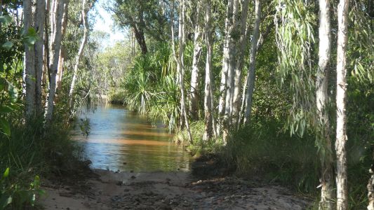
Across a tributary of the Reynolds River. |
| | | |
 |
|
About 550mm deep and 50m. |
| | | |
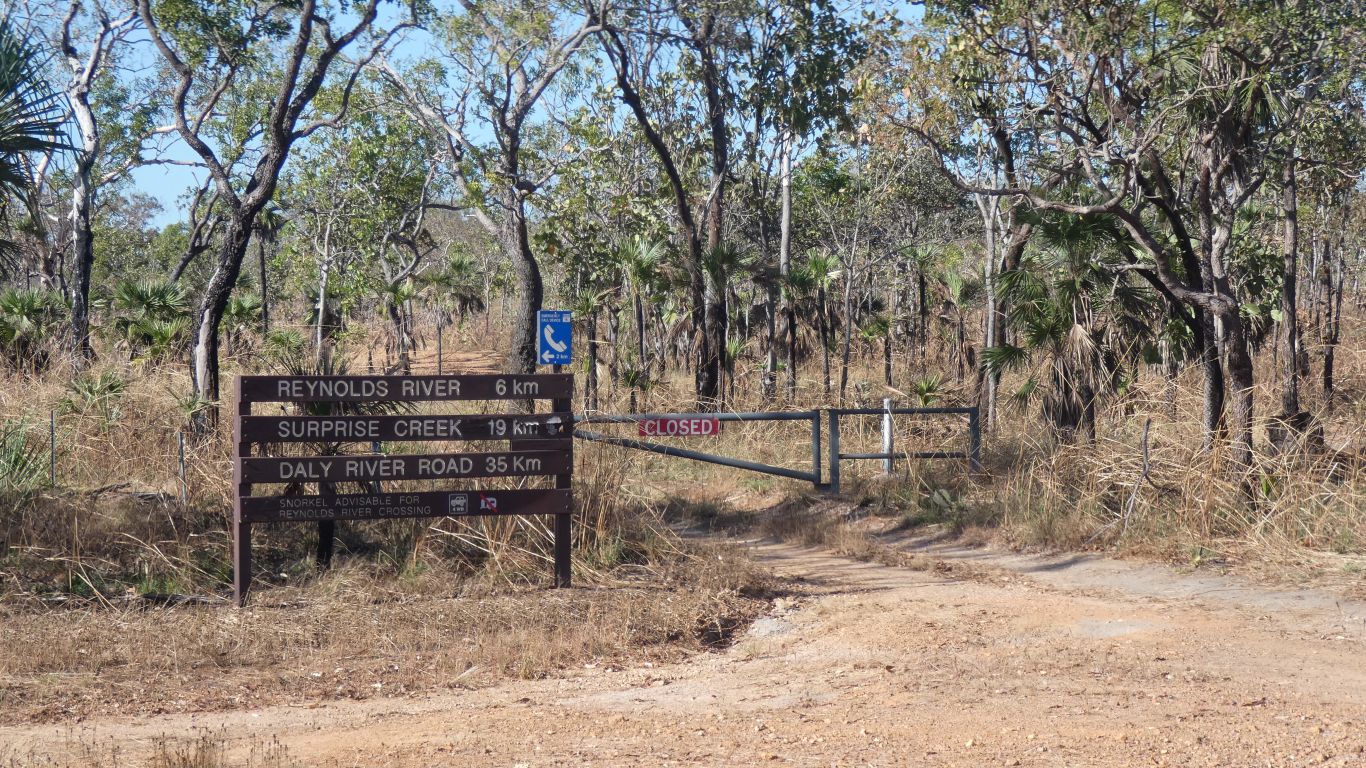
 |
|
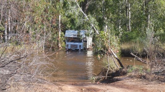
To where the track south is closed - about 35km to the Daly
River Road. So near, yet so far. |
| | | |
 |
|
We drove into Sandy Creek campground, secured our campsite
for the night (no booking system in Northern Territory), and embarked on a
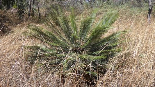
tour of other interesting sites. First stop Tolmer Falls.
With cycads. |
| | | |
 |
|
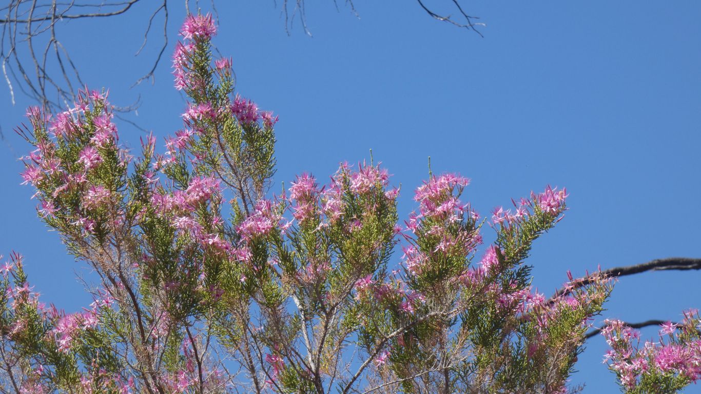
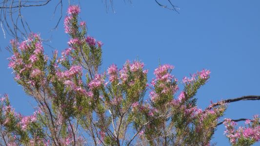
And the turkey bushes we see so many of, without ever
knowing why they are so called. |
| | | |
 |
|
We walked the circuit track anticlockwise. Because we
could. Eventually reached the top of the falls. |
| | | |
 |
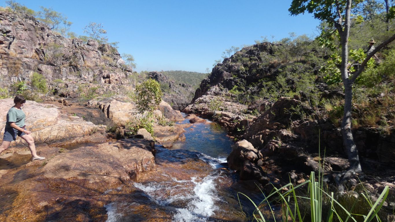
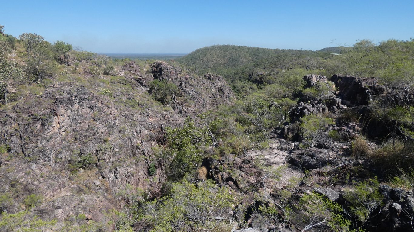
|
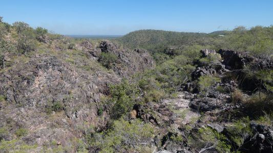
A bit of a disorganised gorge. Apparently caves for bats in
the bottom. |
| | | |
 |
|
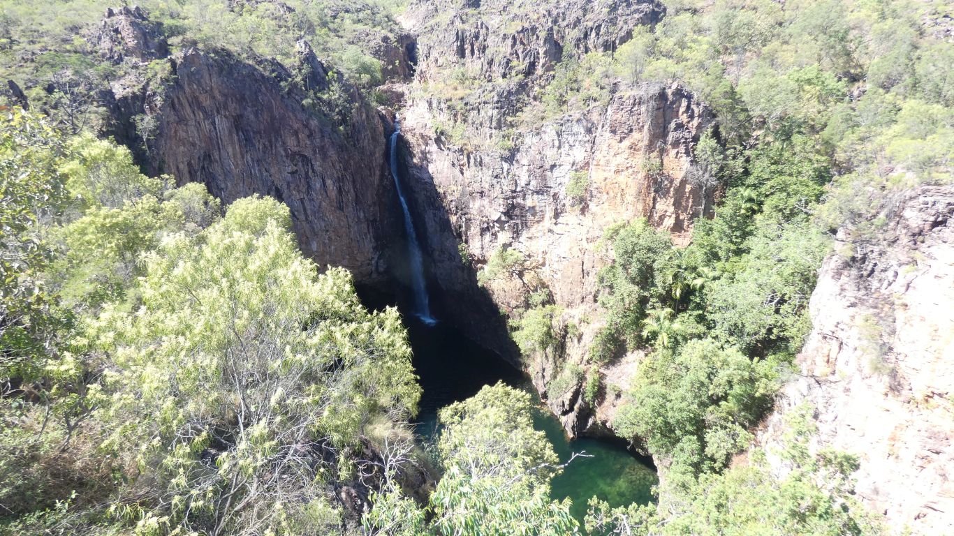
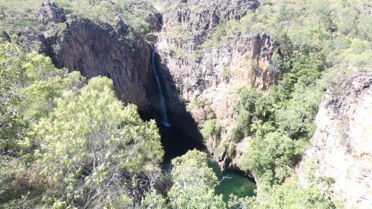
A high falls. No swimming, either top or bottom. |
| | | |
 |
|
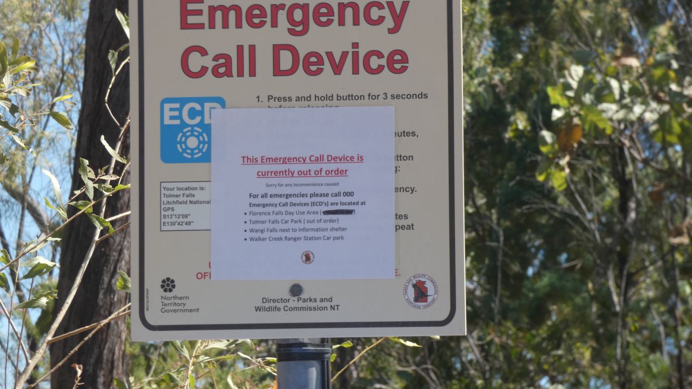
Please note, there is no mobile phone signal at this
location ....... |
| | | |
 |
|
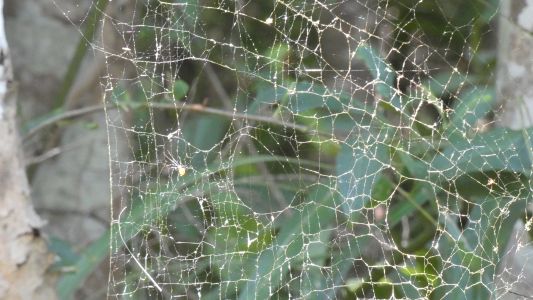
Another golden orb weaver. But this time we know enough
to look for the male. The small dot on the web, a fraction the size of the
female who weaves the web. |
| | | |
 |
|
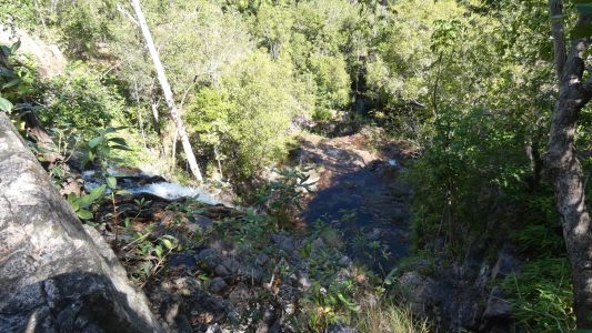
Thence to Greenant Creek and Tjaetaba Falls. No swimming
in the creek, so nothing left but the hike to the top. |
| | | |
 |
|
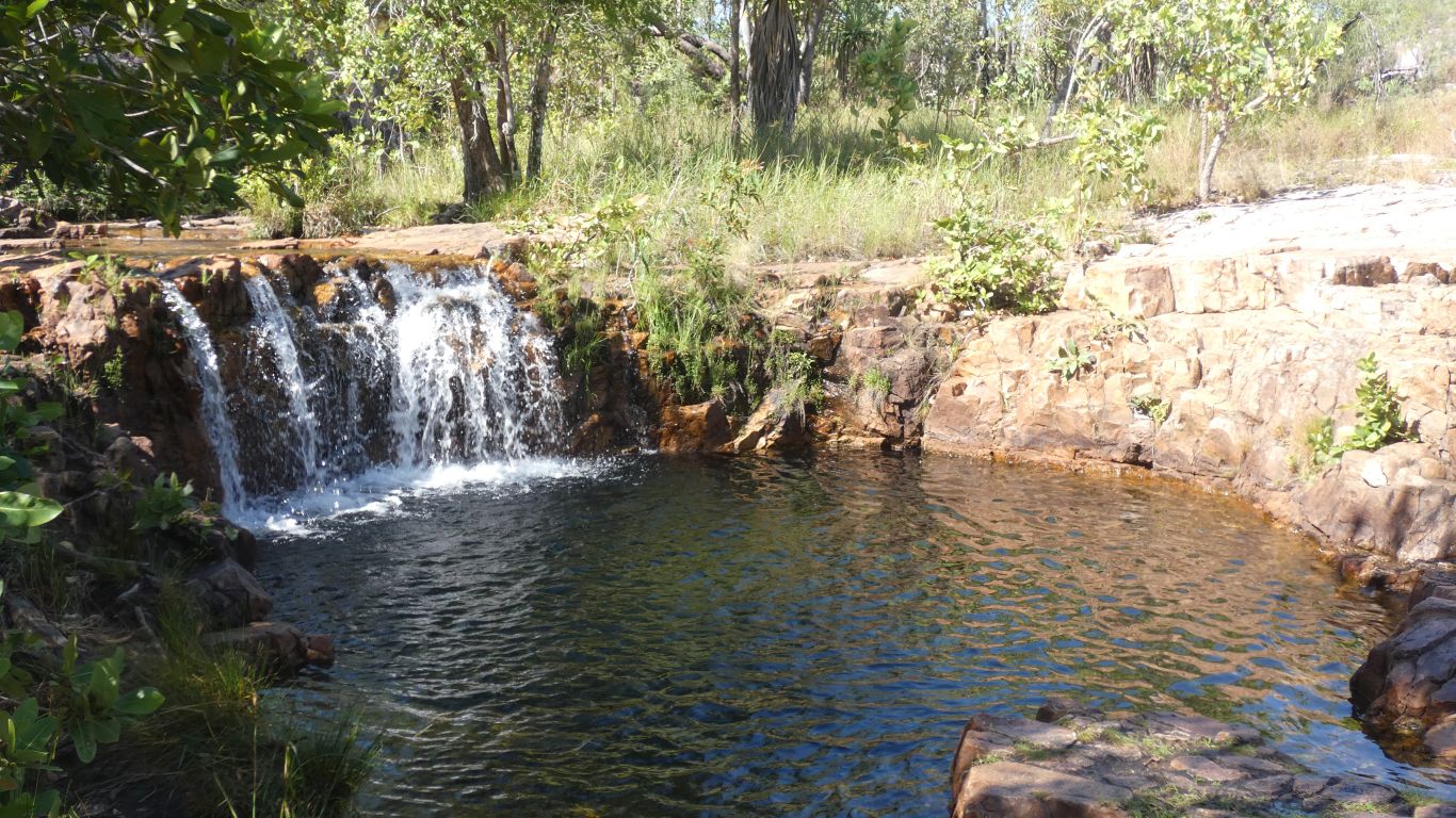
A pleasant pool, just before the fall to the bottom. |
| | | |
 |
|
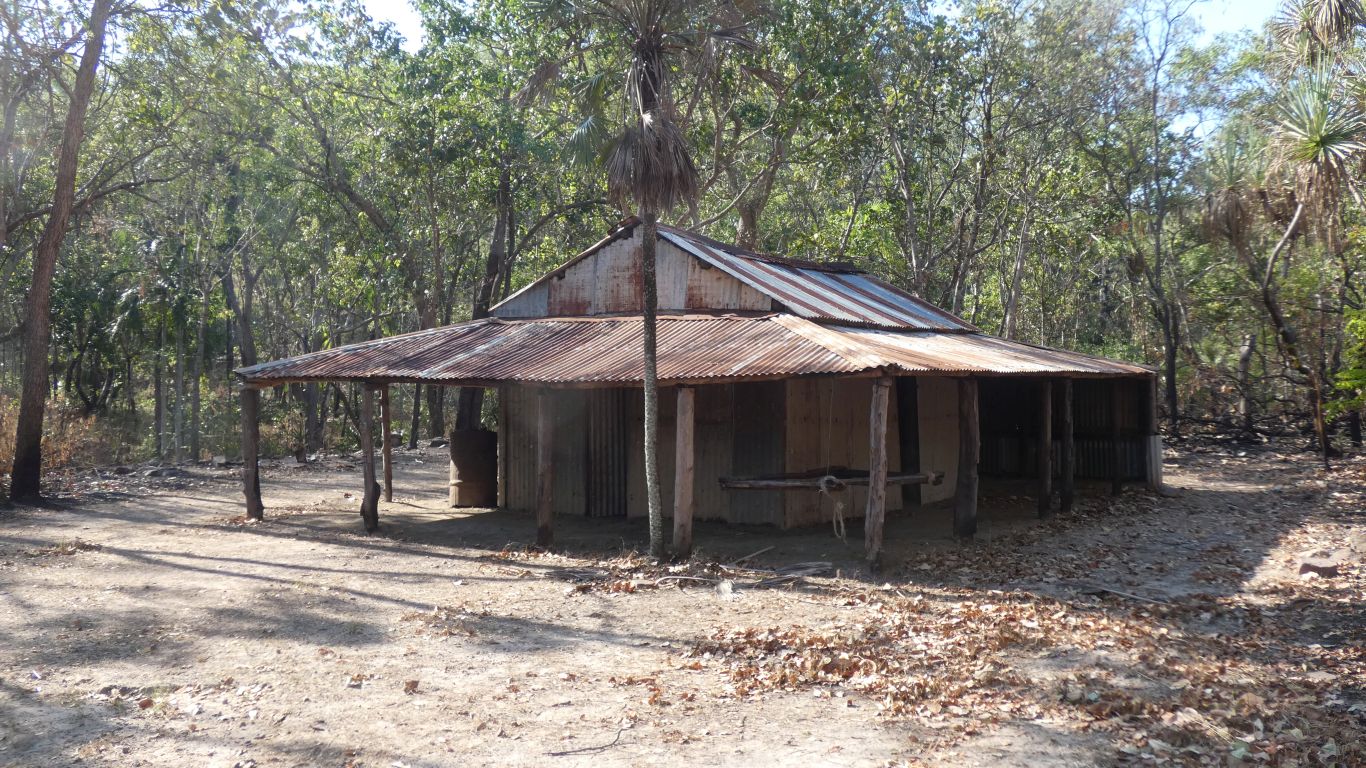
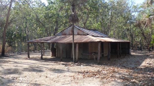
Blyth Homestead. 1928. Alongside the Mt Tolmer Tin Mine,
1888.
The homestead has one room, with earth floor.
Room for mum, dad, and nine children. |
| | | |
 |
|
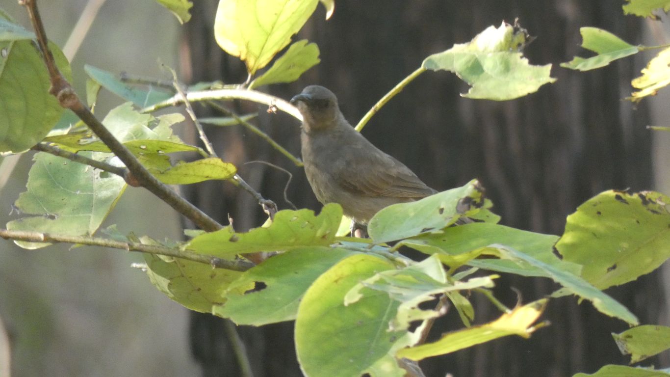
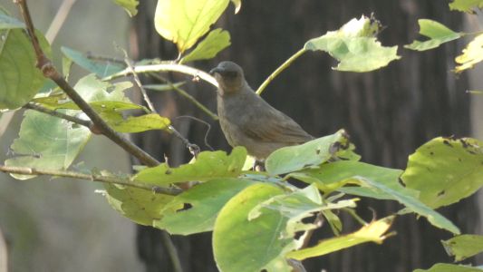
We really do struggle to identify the small birds. But it
doesn't seem to matter. They are delightful whether we know their names or
not. |
| | | |
 |
|
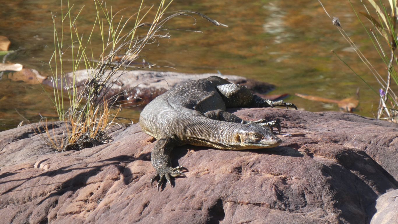
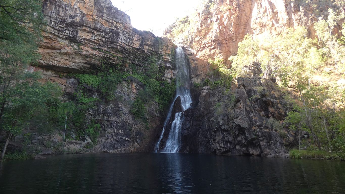
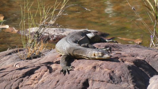
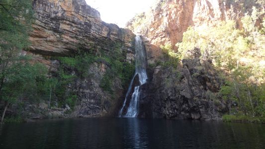
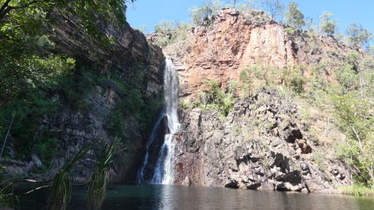
Finally, next day, the 1.7km hike into Tjaynera Falls for a
swim. A Mertens Water Monitor basking in the sun along the way. |
| | | |
 |
|
We found a patch of shade that allowed us to be cool until
we walked back to camp about lunch time. |
| | | |
 |
|
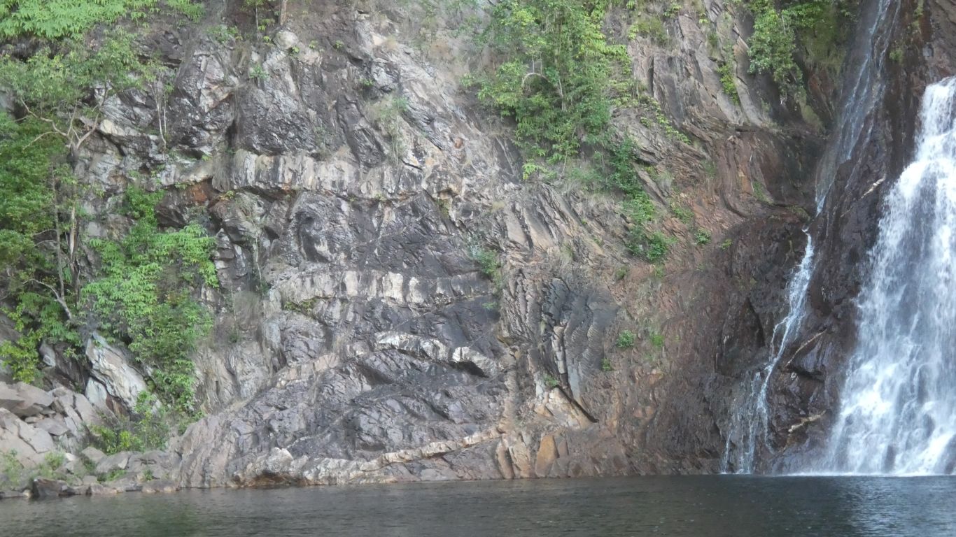
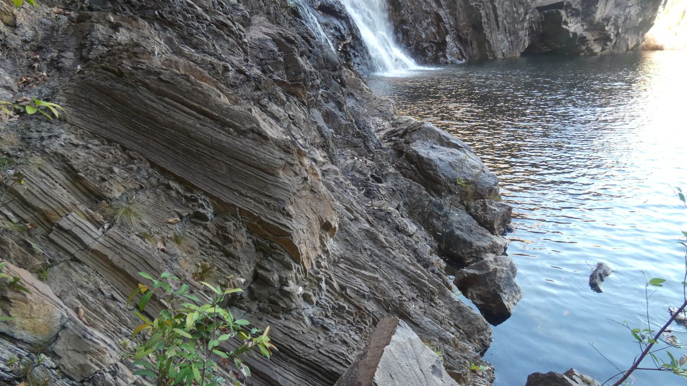
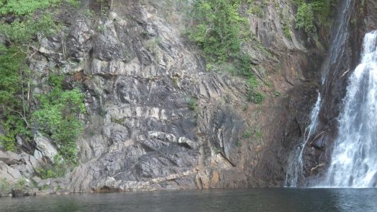
Perhaps we didn't look hard enough but all the other falls
we've visited are in sandstone. These are too, but a mysterious fold of
rock next to them, with thick veins of quartz. |
| | | |
 |
|
Without really knowing we figured something was pushed up
from below. We don't know whether before or after the sandstone was laid
down. Wisdom suggests "after" as there's a bit of folding, though not much
suggesting some sandstone was displaced.
There's a bit of what looks shale in the mix of rocks near the base of
the waterfall.
We also found patches of mica in the quartz, not unlike at the Mt Tolmer
tin mine.
It seems there is a band of pegmatites (igneous rocks with large
crystals) from around Finniss River to Mt Tolmer. Known as the Bynoe Rare
Metal Pegmatites. 5-6km wide, 70-80km long. About 100 different pegmatites.
Tin, tantalum, niobium.
The intrusions tend to be be lenticular dykes or veins - we were pleased
to think we may be seeing a cross section of a dome. |
| | | |
 |
|
Either way, the analysis kept us occupied, our minds
active, between bouts of swimming. |
| | | |
 |
|
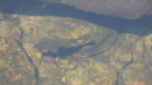
As did the cod like fish in the creek. |
| | | |
 |
|
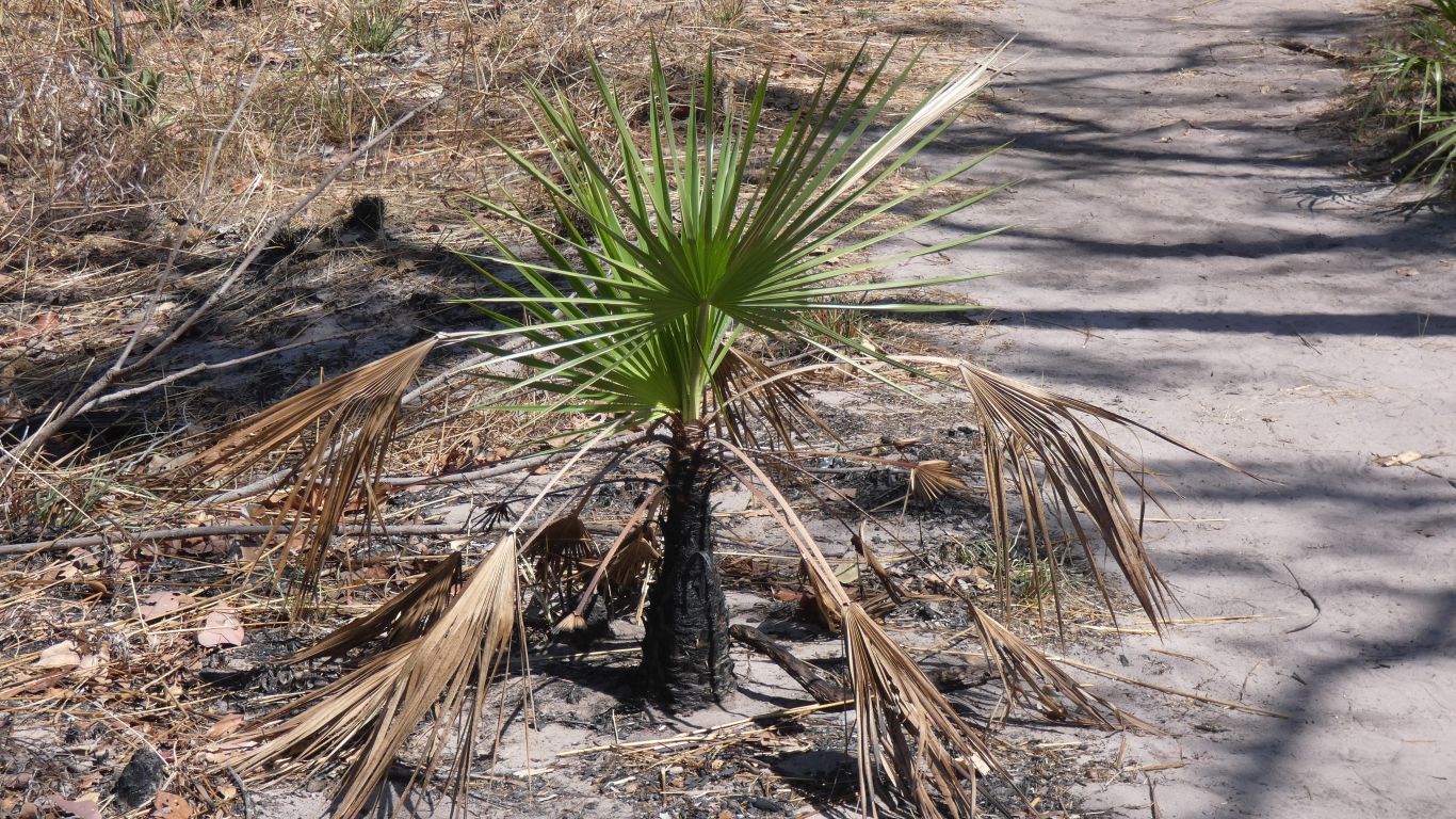
And the fresh green palms recovering after a burning. |
| | | |
| Darwin and Finniss River Mouth |
|
May 30 - June 5 2021 |
| | | |