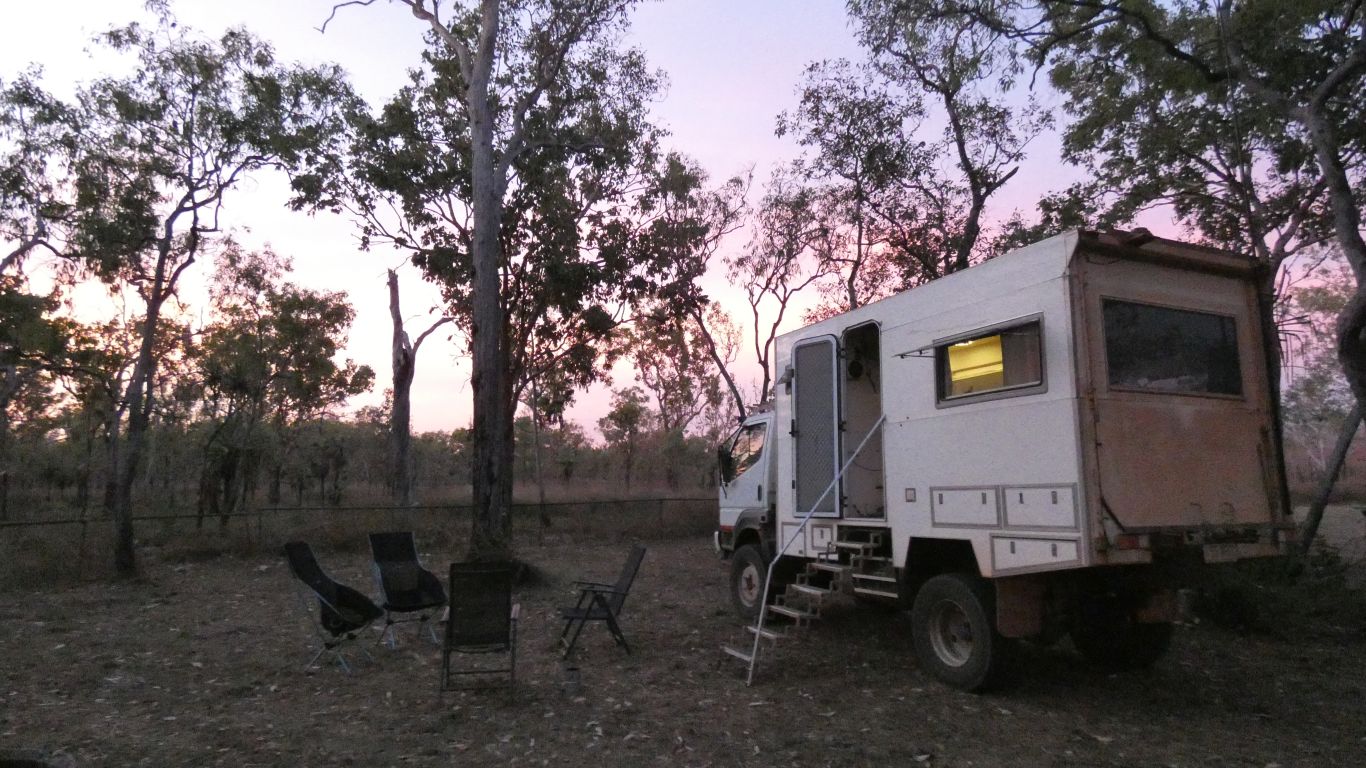
..... as the campsite occupants beat a hasty after dinner retreat into the bowels of their mobile homes to avoid the mosquitoes.
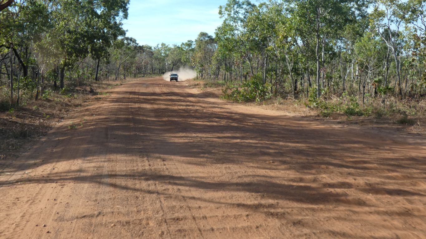
Its marked on maps as corrugated.
Not too bad, its consistent for long periods. We reduce tyre pressures and cruise at 40-60km/hr. The speed limit is signed as 60 km/hr.
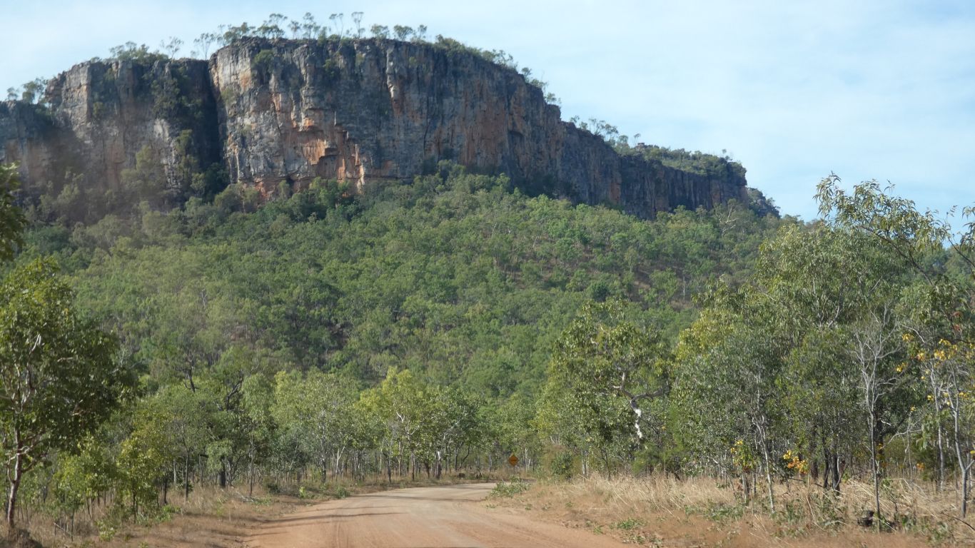
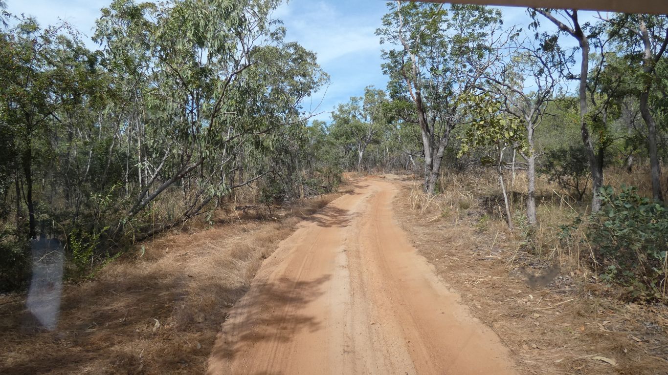
The wide road becomes a single lane track.
The campground was designed around tent camping. The majority of campers are in various camper trailers, pop-tops, and .... us.
A bit squeezy.
At least it seems that way.
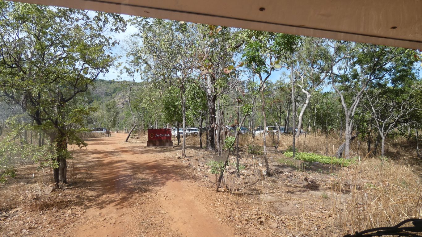
We take one vehicle, leaving the other at the campsite.
We find a park at the drop off point and have a chat to a tour bus operator.
A brief detour to the river bank part way.
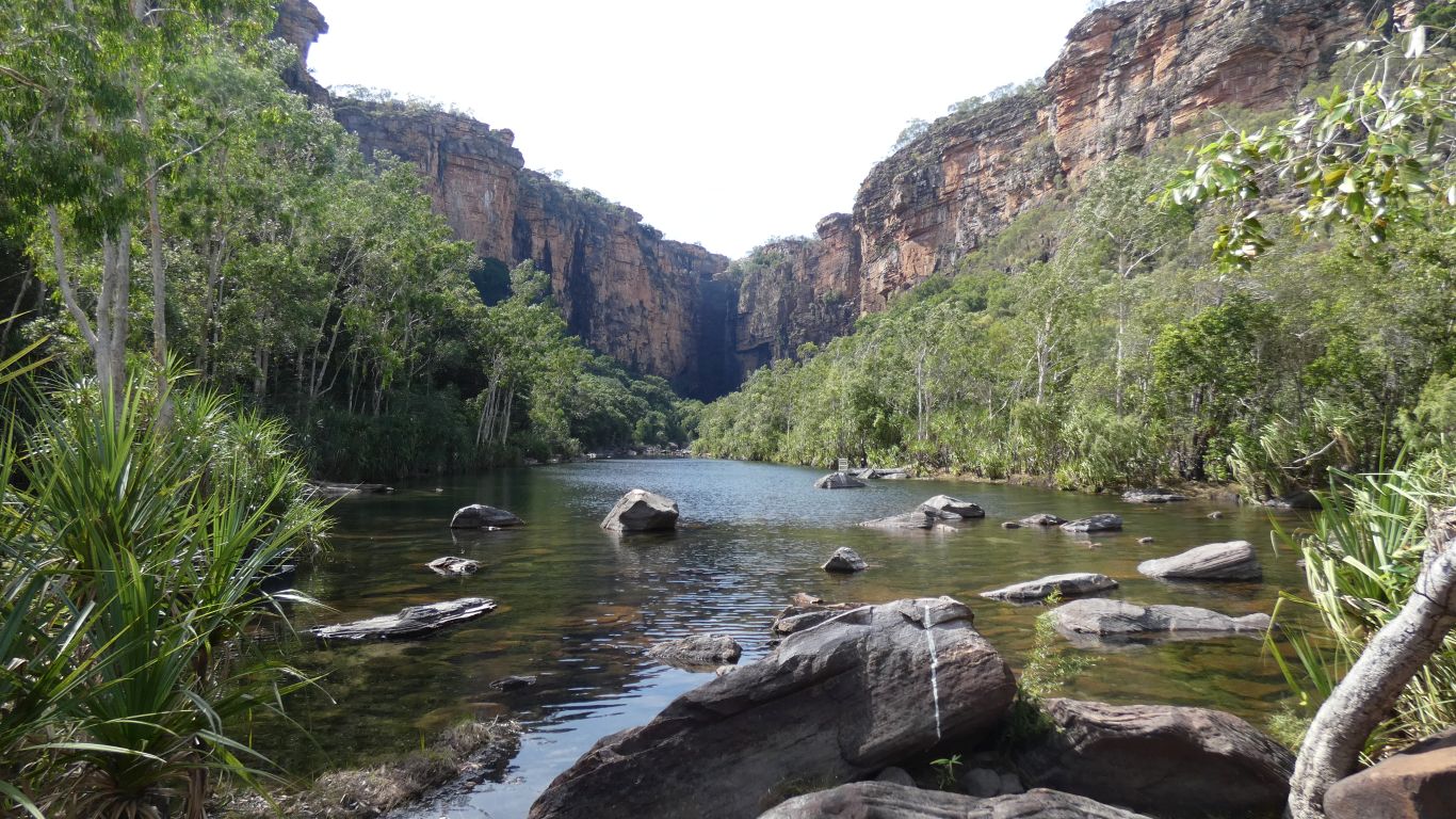
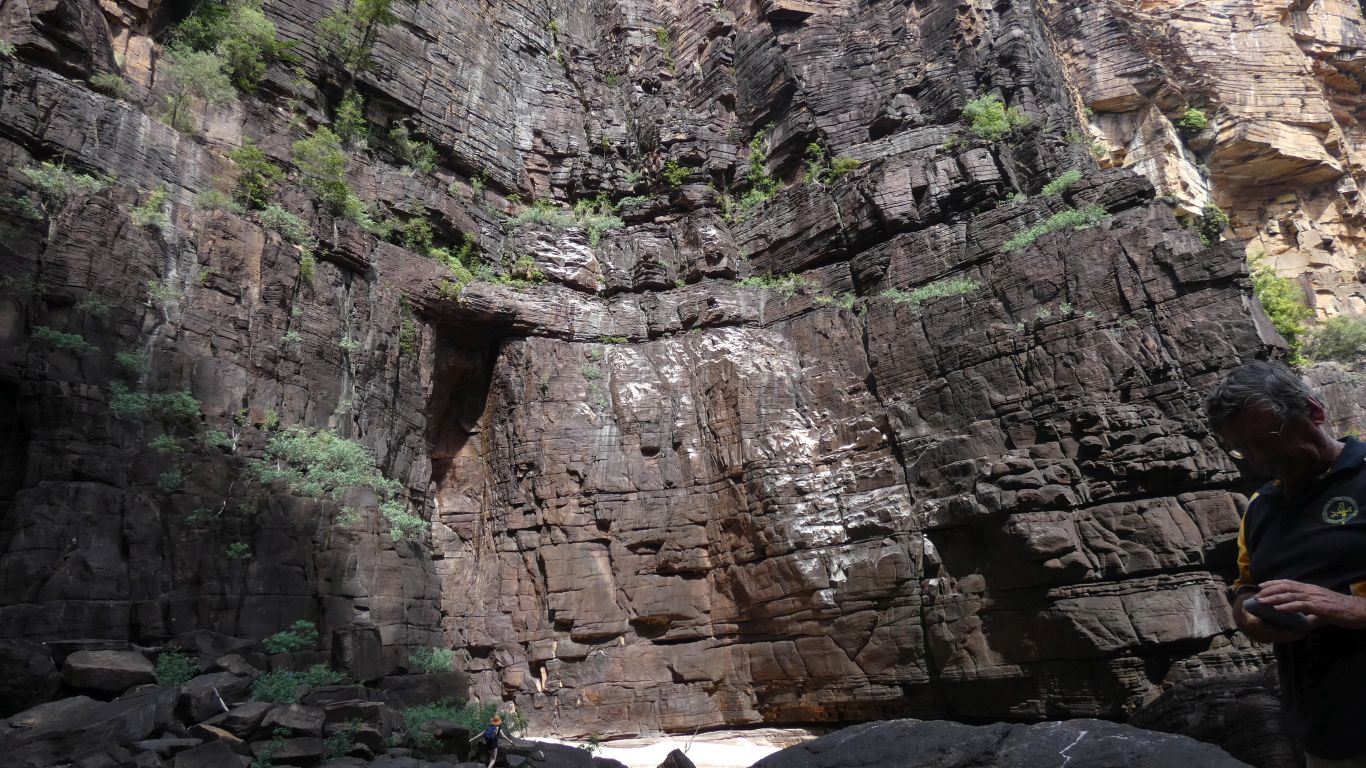
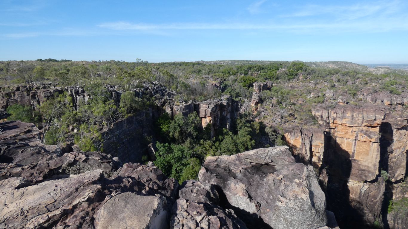
Jim Jim Falls in centre distance, the gorge slowly widens from the falls.
The falls are about 200m high.
A little water in this part of dry season. A raging torrent in the wet.
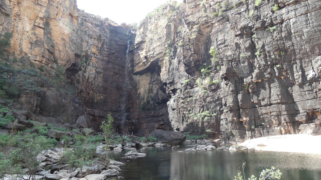
Dwarfed.
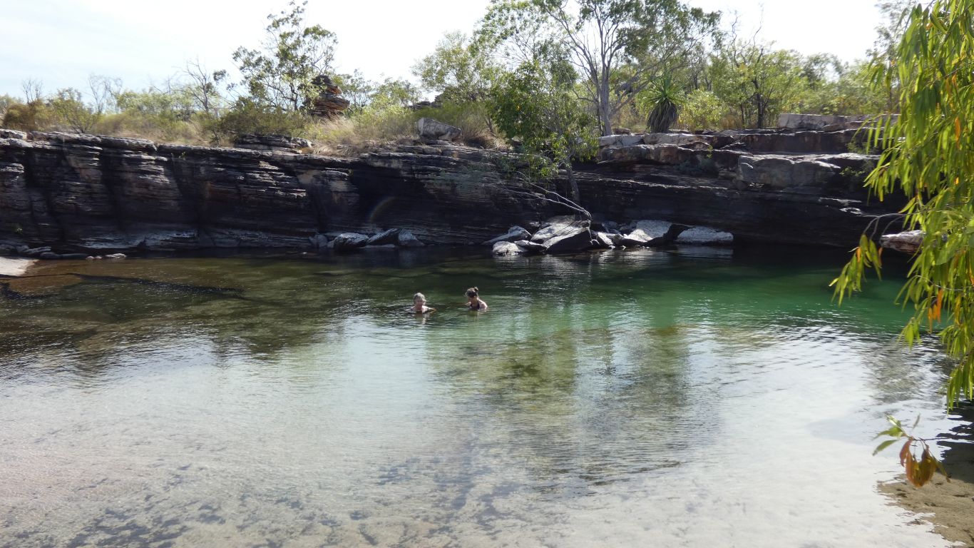
Too cold for me to swim ....
The sand either comes from a side waterfall, or is wind blown.
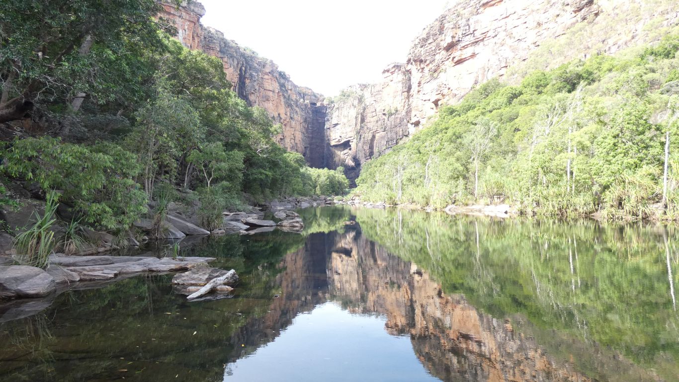
The light had changed, there was more sun in the gorge, and a reflection.
The Budjimi Walk from the Jim Jim Creek Day Use Area is closed.
Because the road to Twin Falls is closed, until the crossing of Jim Jim Creek is raised by 750mm.
There is no boat to give access to Twin Falls because the road is closed and it has been too expensive so has not operated since 2017.
The escarpment walk at Twin Falls is thus also closed.
This is covered by word of mouth and the fairly permanent looking "Seasonal Closure" sign and barrier.
The website says "Twin Falls - Forecast to open late July", along with the escarpment walk.
Either way, we won't be here.
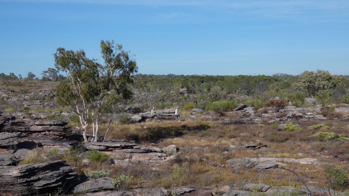
The Baark Marlam walk, to the top of Jim Jim Falls is open (since 24th June). 6km | 6 hours round trip, the signs say difficult, steep at the beginning. People we talk to who have walked it reckon about 1 1/2 hours to the end of the track.
The gate opens at 06:30, probably earlier if campground host hears us. We will attempt the walk tomorrow. Setting off at the coolest part of the day. Looking forward to seeing more of the plateau.
And 06:40 saw us walking with just enough light to see by.
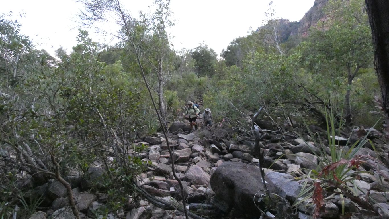
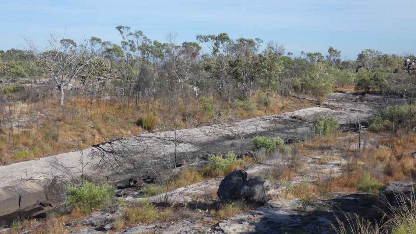
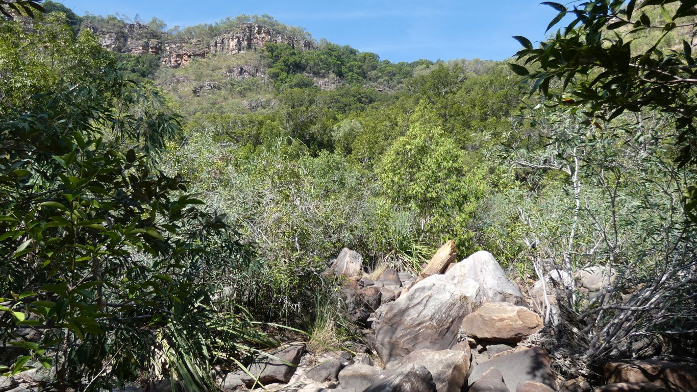
Across the boulders in the creek bed.
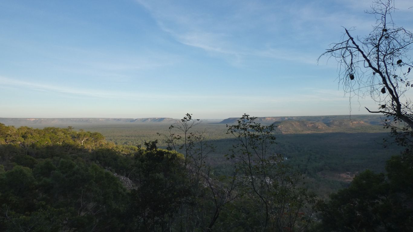
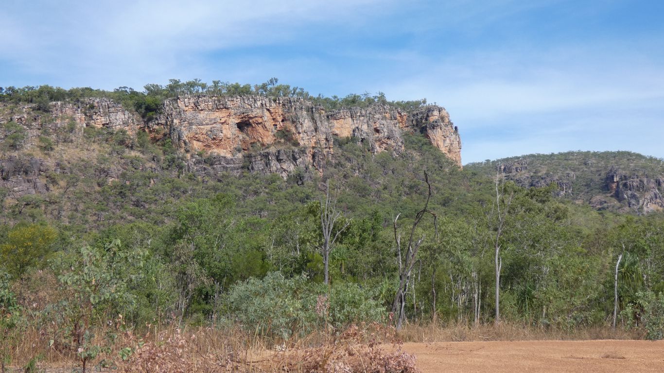
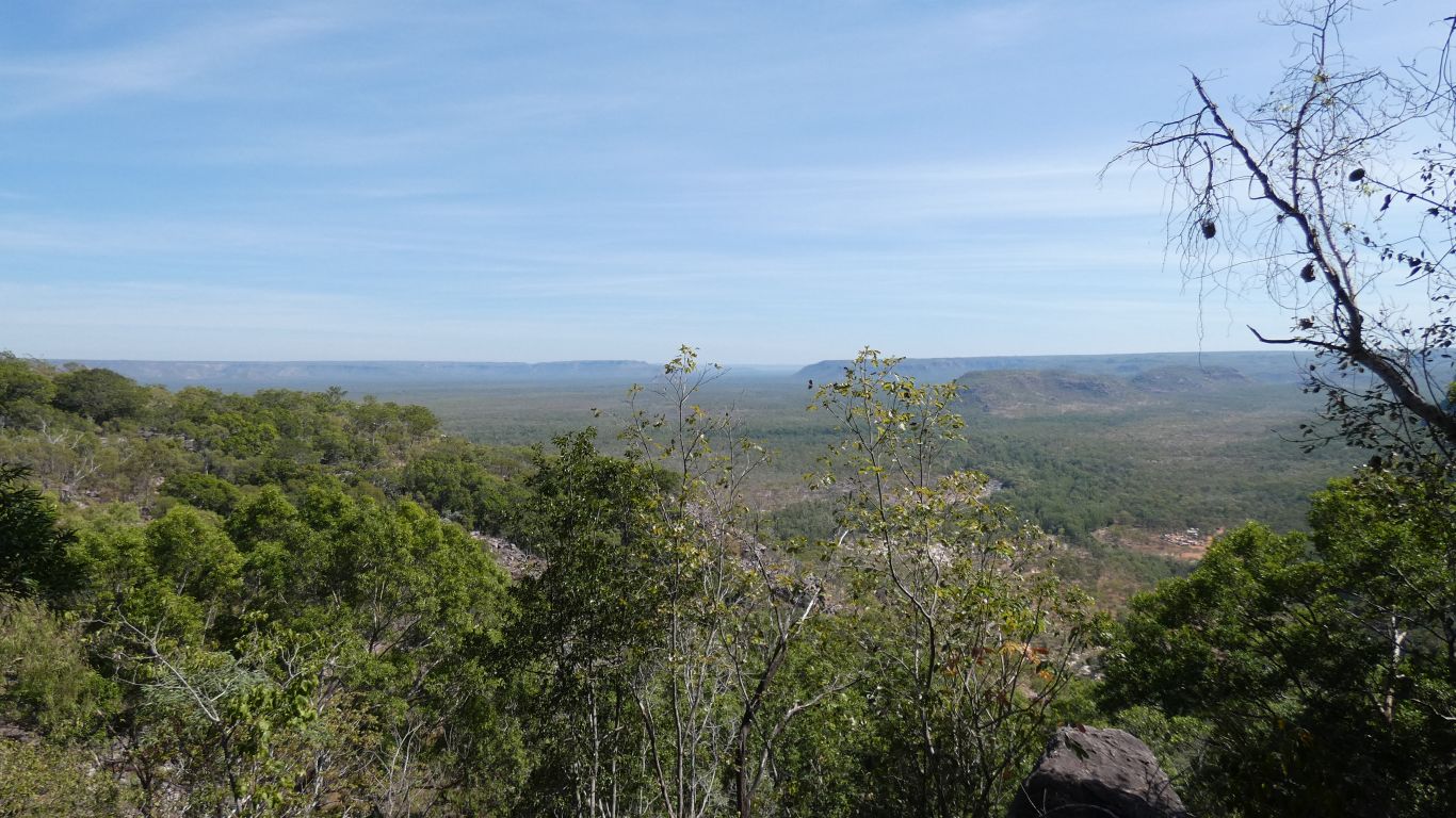
Early morning shadows across the plain, highlighting escarpment.
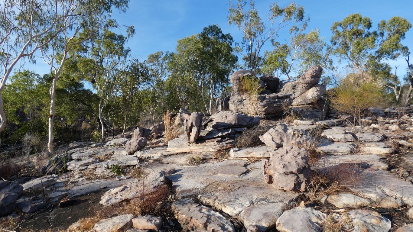
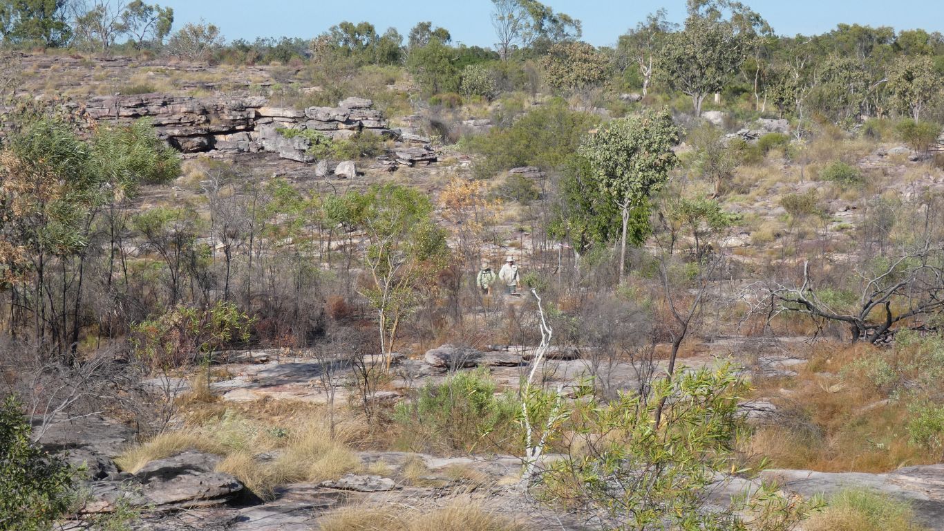
At times we are deep inside the rocks, other times along the relatively flat plateau.
Occasional scrambling up small cliffs.
Much easier.
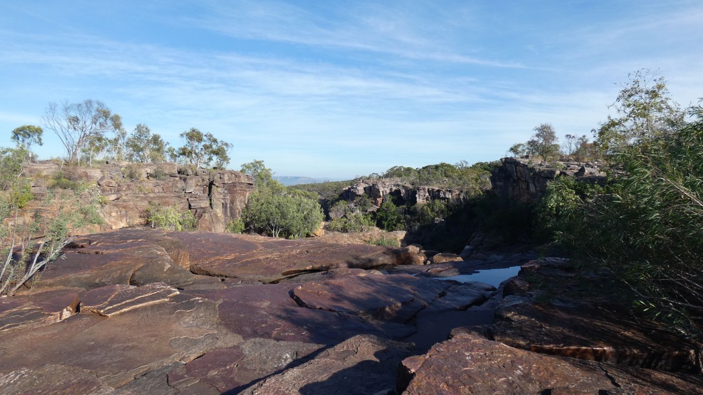
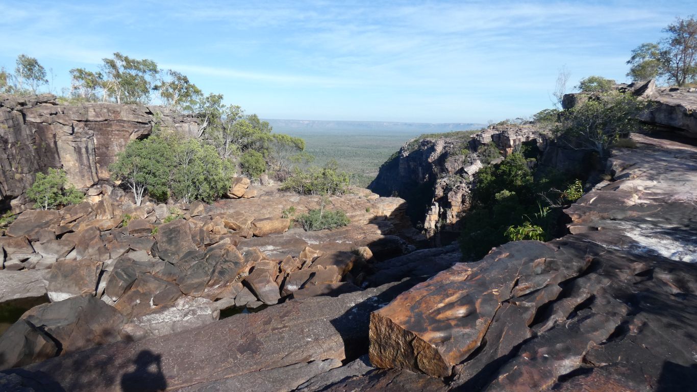
Not the top we could see from the bottom. We are at 270m above sea level, the top of the falls is below us, at about 200m. There is a smaller falls that we are at the top of.
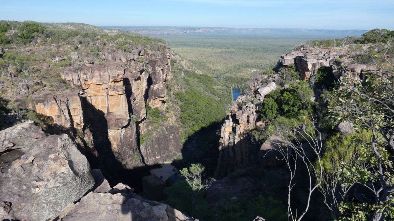
The beach is still in shadow, about centre bottom of pic.
Our view of deeper into the gorge, closer to the falls than the beach, is obscured by the edge of the fall that can be seen from below.
Its possible to climb down a boulder strewn slope to stand on the top of the falls, we saw people there yesterday (from below), but we think that is a bit too far for us.
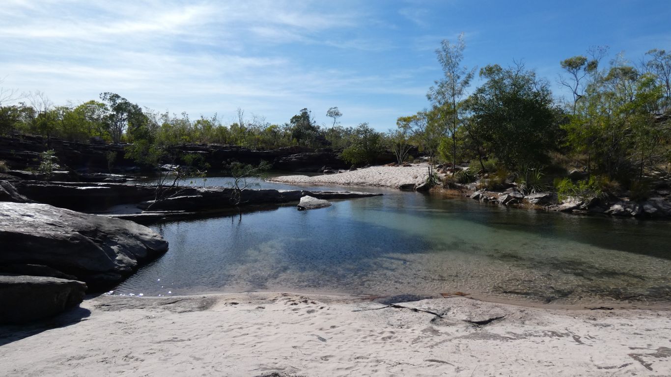
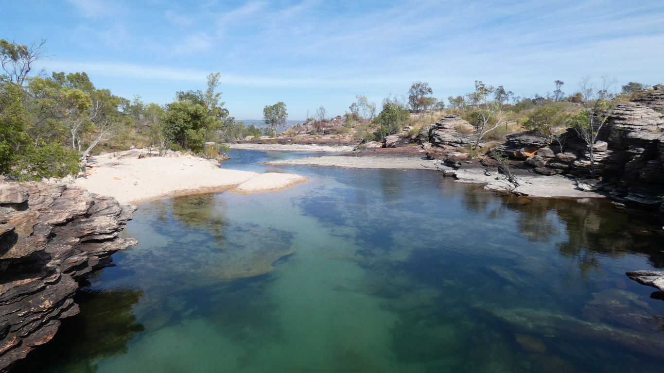
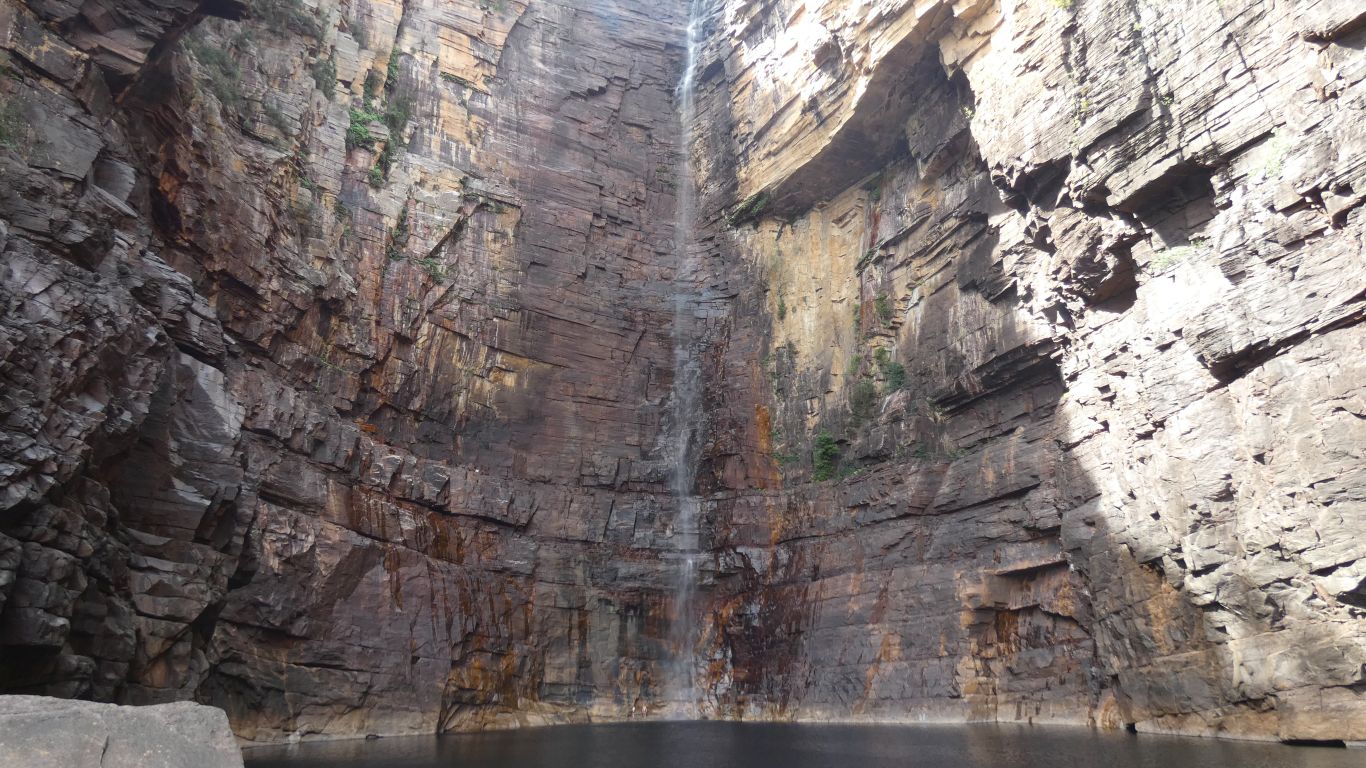
The pool is deep.
The car park has filled while we've been walking. We've met a few people but most walk to the base of the falls, as we did yesterday.
Nice to meet a couple who had very heavy packs, for a 12 day hike from Jim Jim Falls to Twin Falls
It took us about 2 hours from start to the end of track at the top of the waterfall. Parks estimate 3 hours. A long time at the top, frequent stops, and a very slow walk down the steep bit, made the total 7 hours.
Well worthwhile.
The distance from start to end of track was recorded as 4.85km by our Garmin tracker. A bit more than the advertised 3km. The tracker seems to always record more than national parks advertise. One day I'll work out why.
We finished the day by driving to Jim Jim Billabong campground. To recover.