About 150km to Katherine to fill up water and fuel - we had about 50 litres of water and 150km of fuel remaining. And stock up with food.
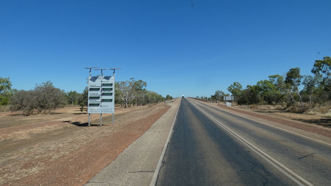
We head west, along the Victoria Highway, towards Keep River and Gregory National Parks.
All roads open. Though sadly the Limestone Gorge and Tufa are closed after water damage - due to open in August / September.
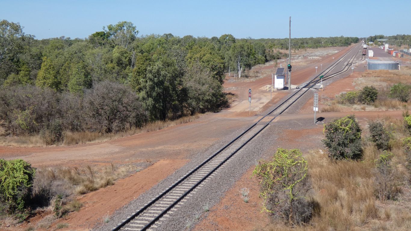
Not a lot of activity in the freight yard.
When we finally reach our destination the gps tells us we are 4m above sea level.
I suspect a little higher, but nevertheless near sea level.
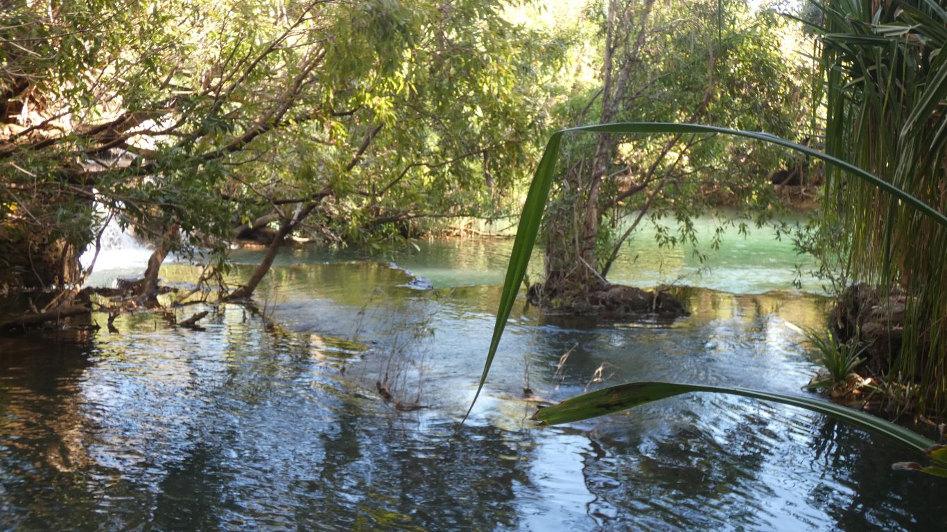
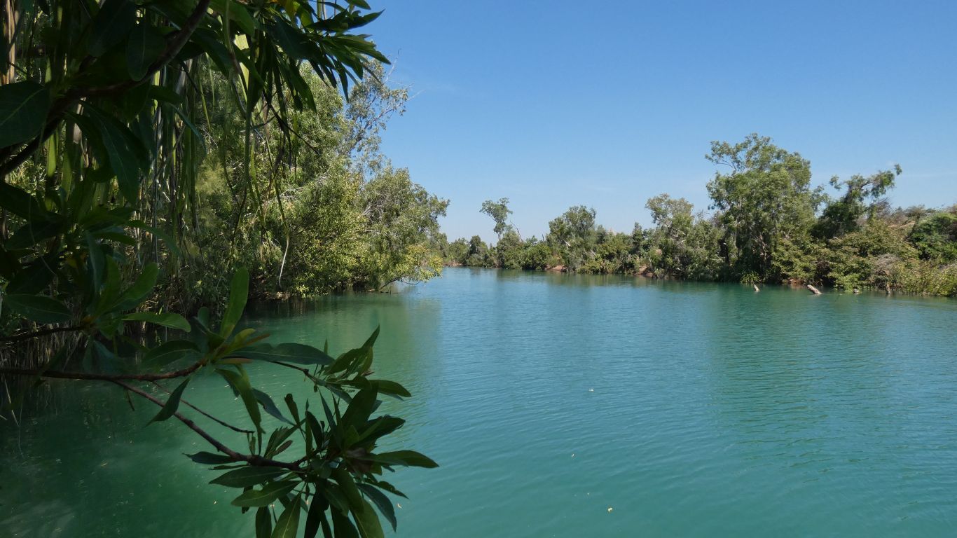
The road then runs parallel to the Flora River.

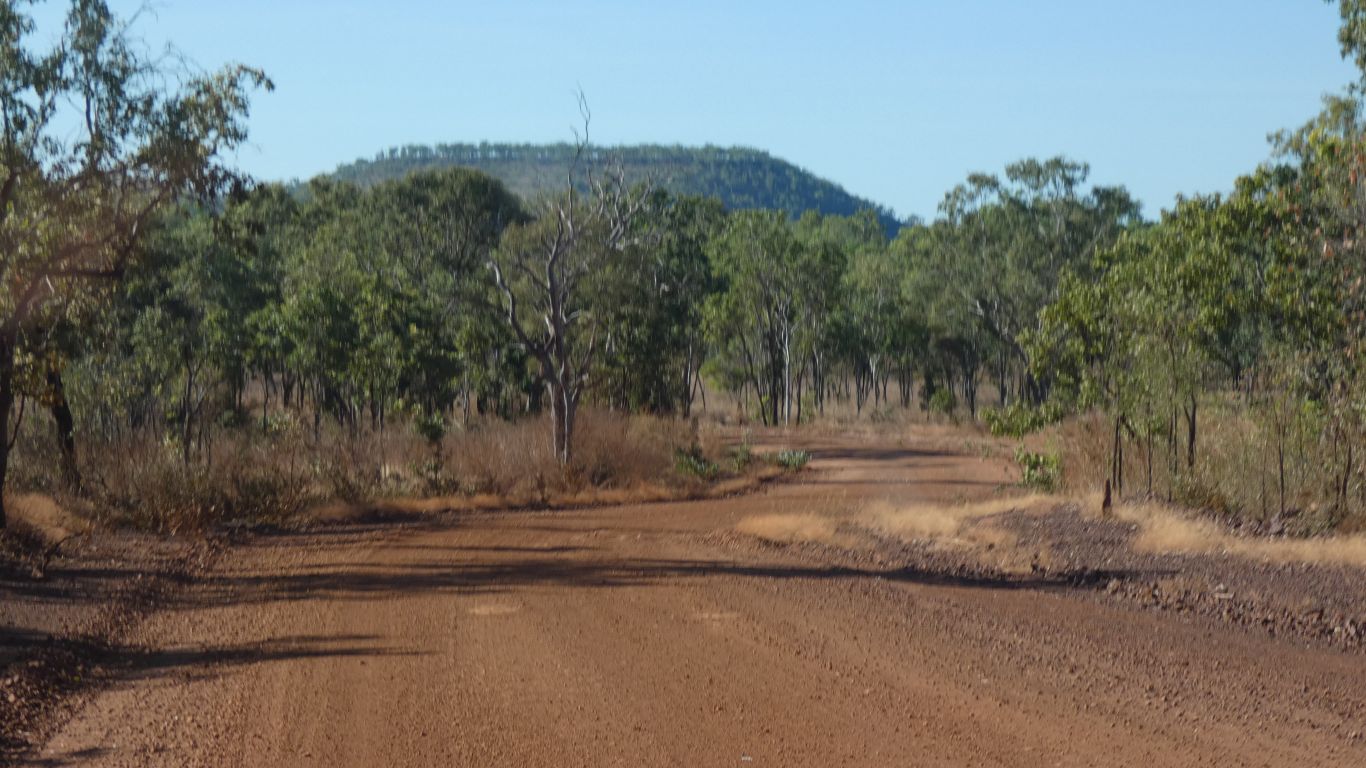
Never seen a warning for bulldust anywhere. There's always a first.
Enough to be recognisable, but not enough to impede progress, and never across the whole road.
People arriving who had recently driven the Gibb River Road thought they were in gravel road heaven....
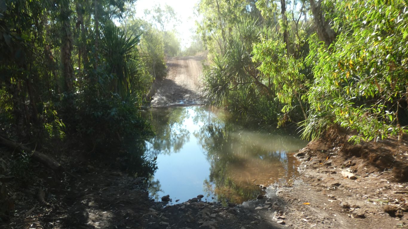
The campground is near the bank of the Flora River. We've driven about 300km to add to the shopping. The supermarket trolley needed a safe working load sticker.
Flora River meets Katherine River about 15km north east of our camp. They become the Daly River.
We are roughly 85km (for crows) south south east of Oolloo Crossing. We were there for four days about 7 weeks ago. Doesn't time fly ...
Fishing spots near the camp are limited. But there's only the caravan that arrived after us.
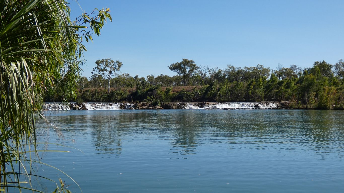
We've arrived about 4pm. A time to relax, fit the new mirror purchased in Katherine (which is of course a different size to the broken one), and fix a couple of squeaks and rattles. We'll explore Kathleen Falls and a bit further afield tomorrow.
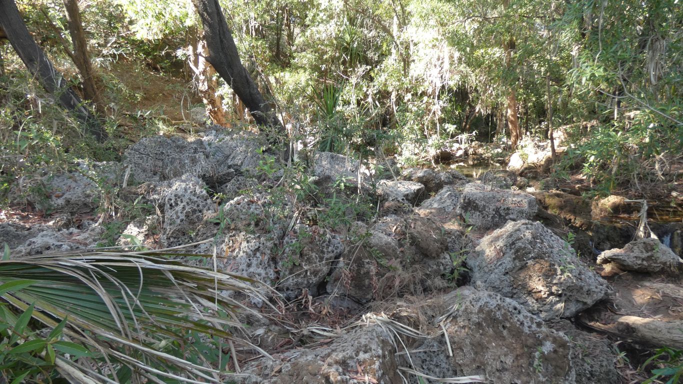
This looks a bit broken and heavily eroded.

Tufa.
The pandanus is pandanus aquaticus. Straight. Unlike the pandanus spiralus we've become used to further north.
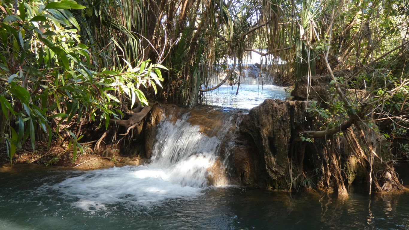
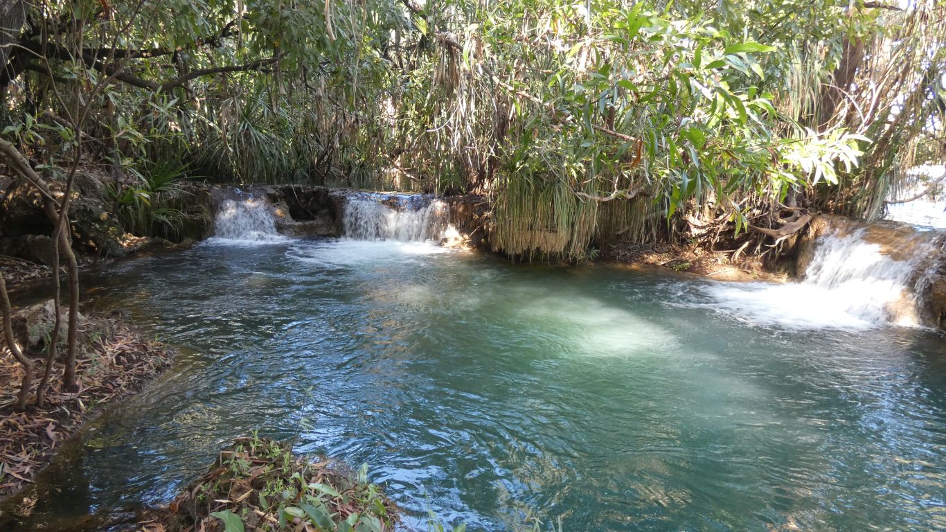
Closer, but not so accessible, Native Cat Creek enters just below the falls and is impossible to cross here.
Bauhinia Cunninghamii to a taxonomist. We wonder who Cunningham was.
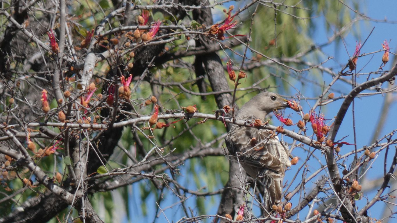
Full of nectar, for birds and people alike. And gum on the stems to eat like toffee, though we weren't inclined.
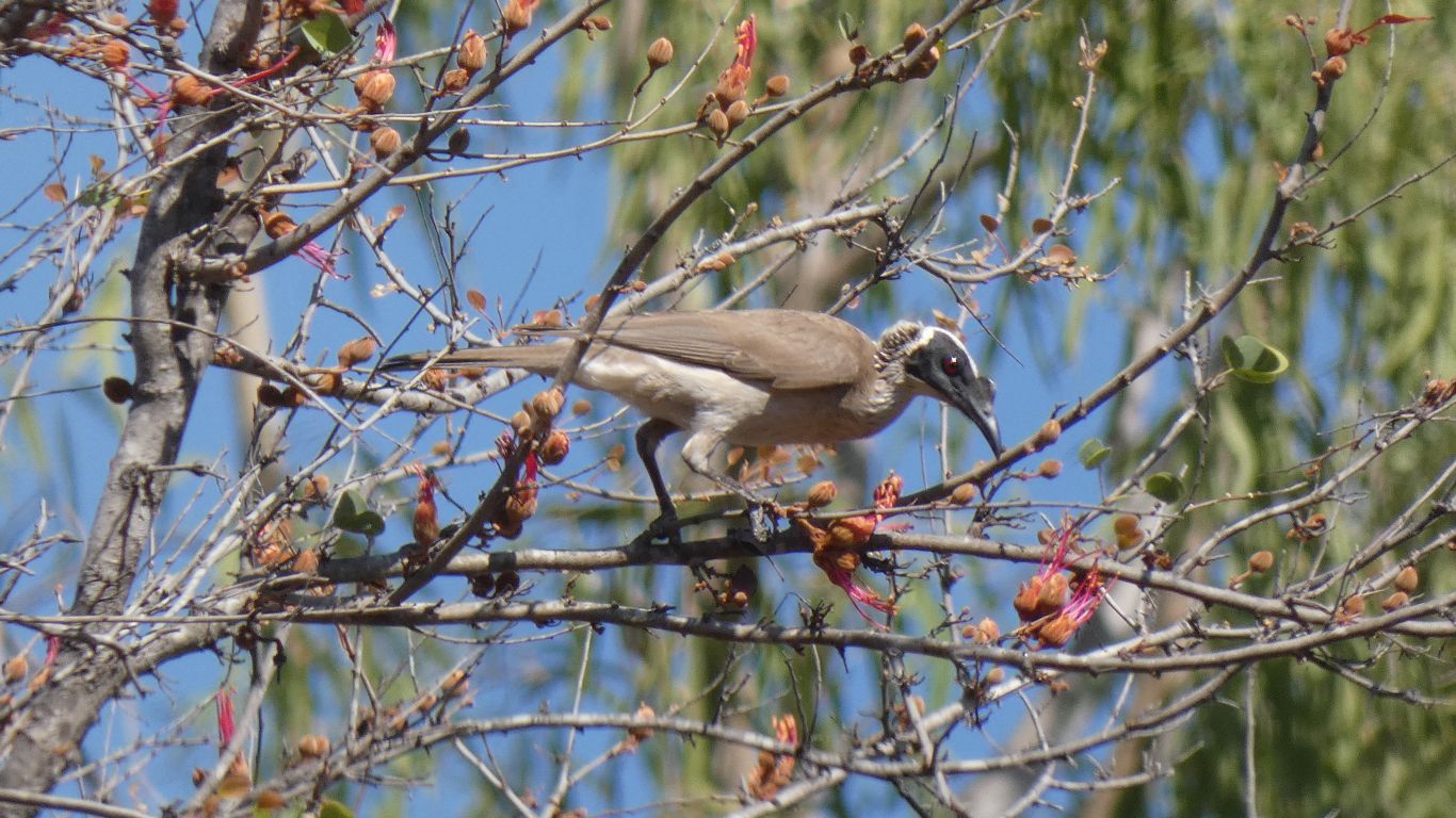
I think, having borrowed a bird book and their expertise from the neighbours, a Great Bowerbird.
The characteristic small pink crest well hidden.
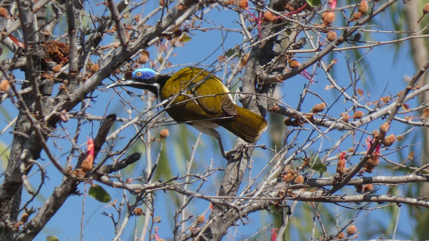
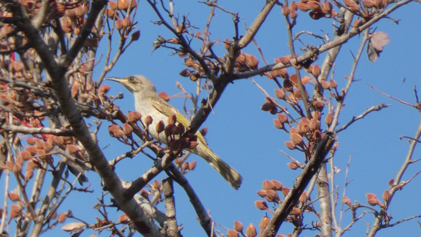
This blue-faced honey eater reminds us of home, we have several visiting our garden.
The flowers have no resemblance to fuschia, apart from being flowers and containing nectar. But they remind of of sucking the nectar from fuschia when very much younger than I am now.
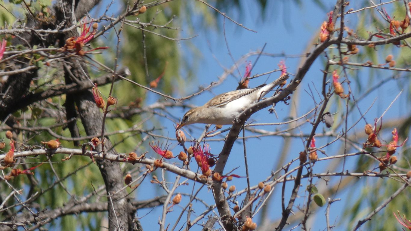
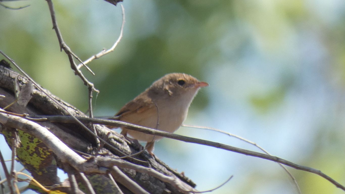
There are also smaller, harder to picture, birds.
We'll stay another day.
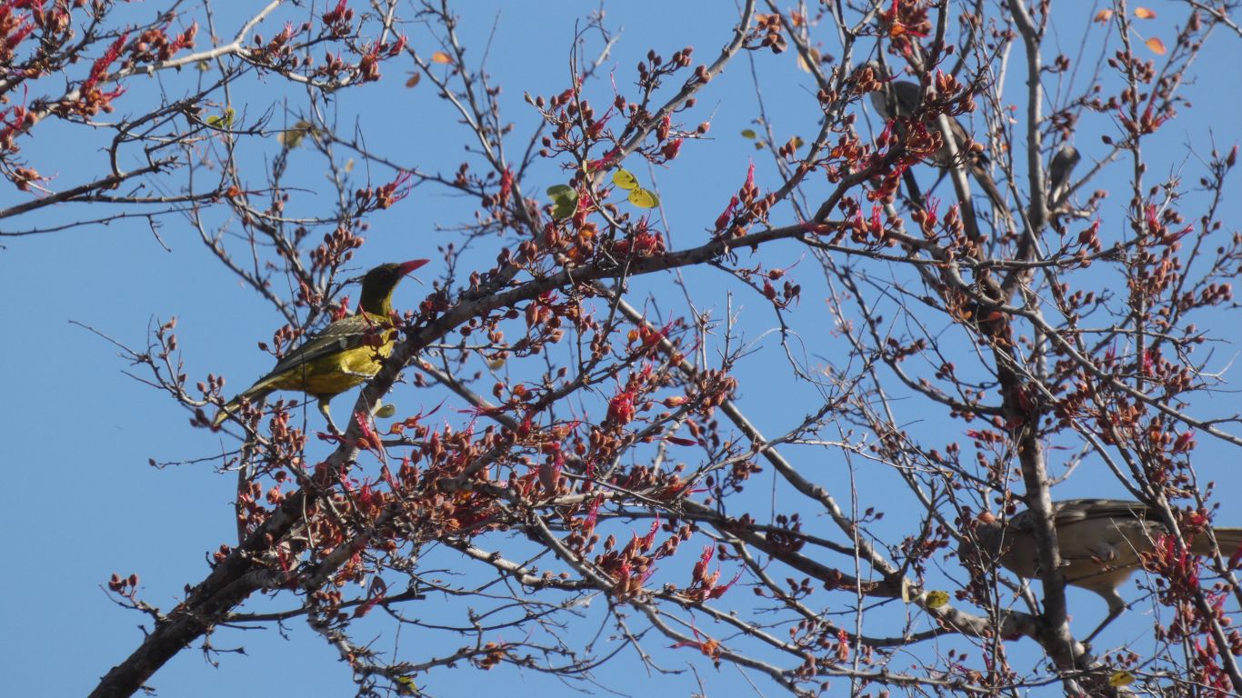
Yellow orioles feasting.
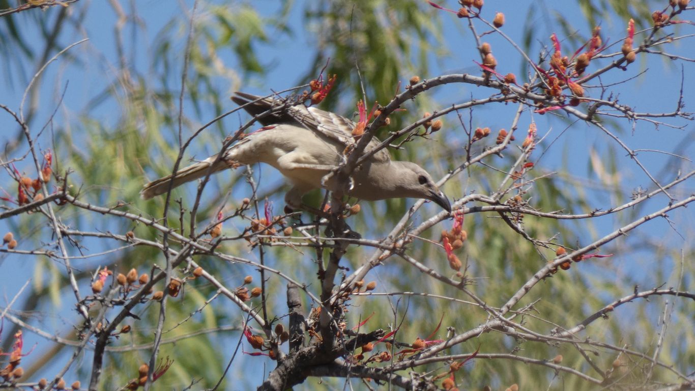
How many different shaped beaks can one tree sustain?
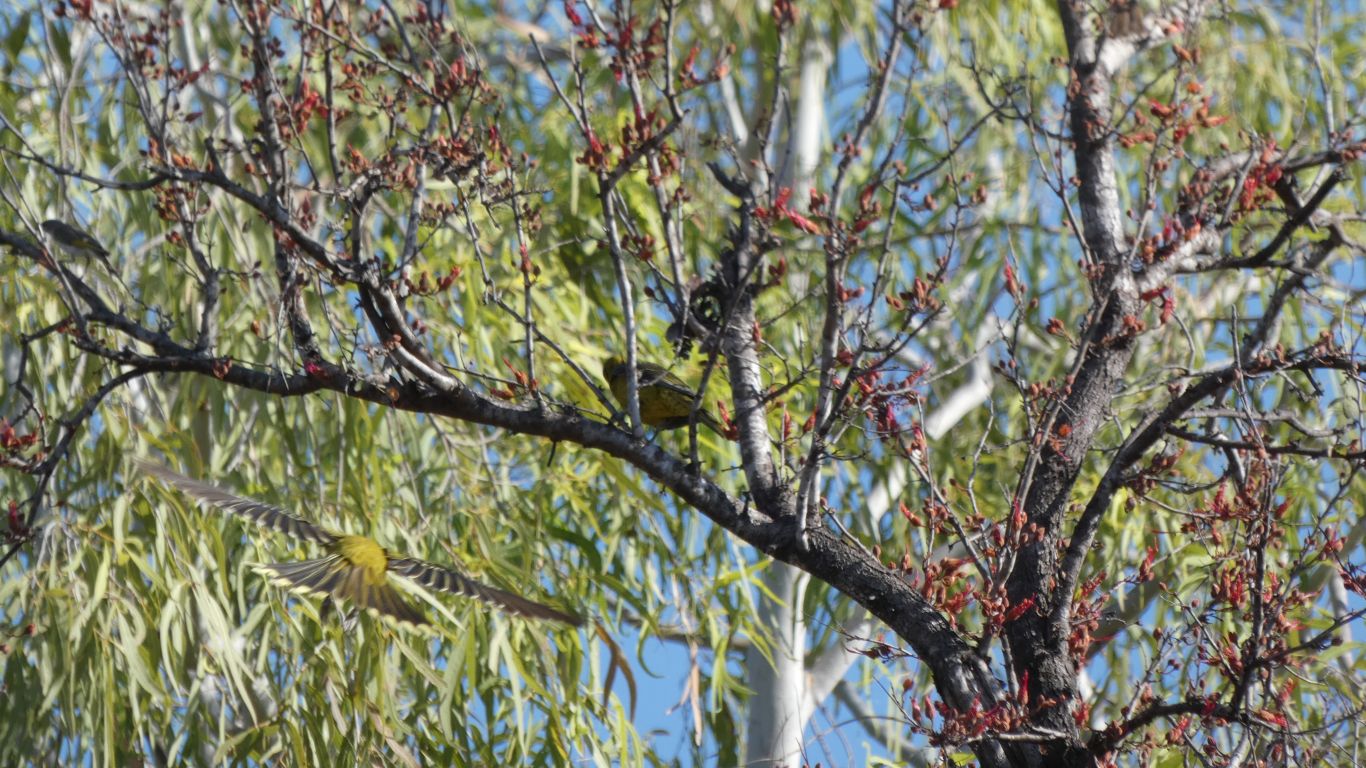
I can't recall ever having seen so many bird types in one tree. Though well aware of the connection between land, climate, vegetation and fauna I'm continually surprised when I see it in action. The soil around the campsite is black. I still have the book on geomorphology.
Perhaps interesting to understand is if there are so many birds sipping nectar why are there so few bauhinia trees in the vicinity.
Competition must be fierce.
The next challenge is to find nests and bowers.
I need more practice for that.
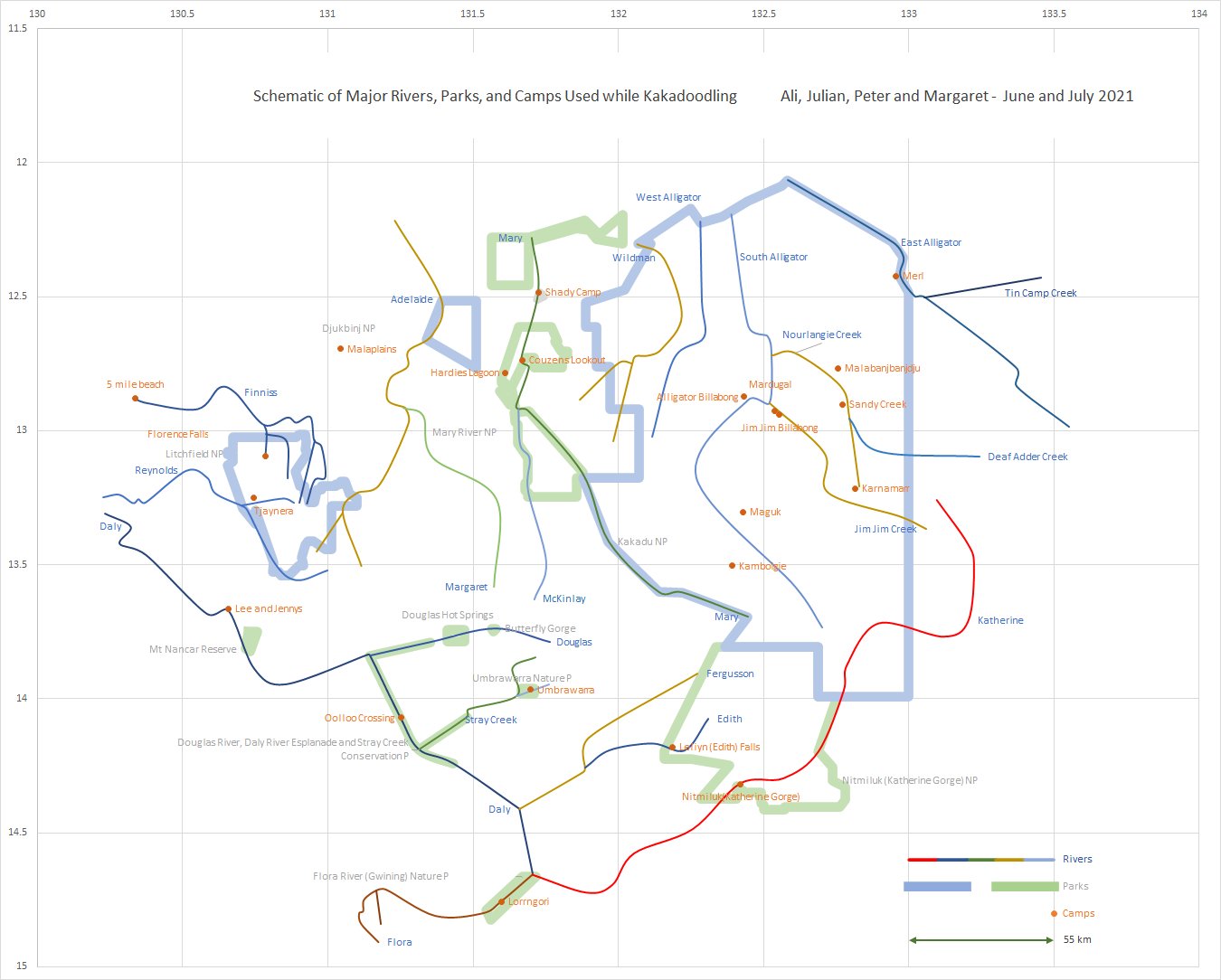
At times we've found the roads don't go where we would like, with long detours. Like the one road in and out of Daly River (Lee and Jenny's), or Dundee (5 mile beach). We would have liked to continue across Oolloo Crossing, but couldn't.
Sometimes big bridges have been built, the Old Jim Jim Road went round the south of Wildman and West Alligator Rivers whereas the new road is straight west to east.
Out of general interest I drew the schematic.
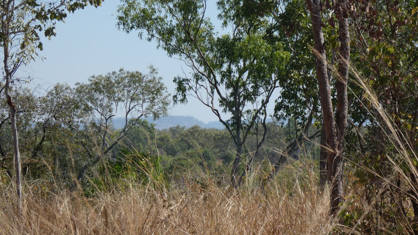
The land, particularly the sandstone escarpment to the east of Kakadu and the sandstone of Litchfield National Park, with sloping flat plain and ridges in between, define the south to north flow of the rivers. Gently sloping, the rivers meander. Until bounded to the south by a long, convoluted, loop of the Katherine and Daly Rivers. The plain a mixture of stony ground, floodplain, and wetlands. Each a little higher than the next, with their defining vegetation. Our memories are dim, but we recall turkey bush and dry ridges. Pandanus nearer water. And so on. Land draining to the north each dry season. Creating a friendly habitat, and causing the movement of birds and beasts as billabongs recede or dry.
We think it would be fun to watch a whole annual cycle. Our few weeks is but a snapshot. We think the movie would be better.
Tomorrow we'll leave this area for the Victoria and Keep River systems to the south west. Later we'll travel east towards the gulf, with a more northerly path than the one through which we entered, south of the Roper River this time, across the Robertson River that thwarted our progress earlier in the year, across the McArthur River at Borroloola.
Fishing didn't last long. Another lost lure. This time when the reel decided to be stiff, the lure sank and caught a log.
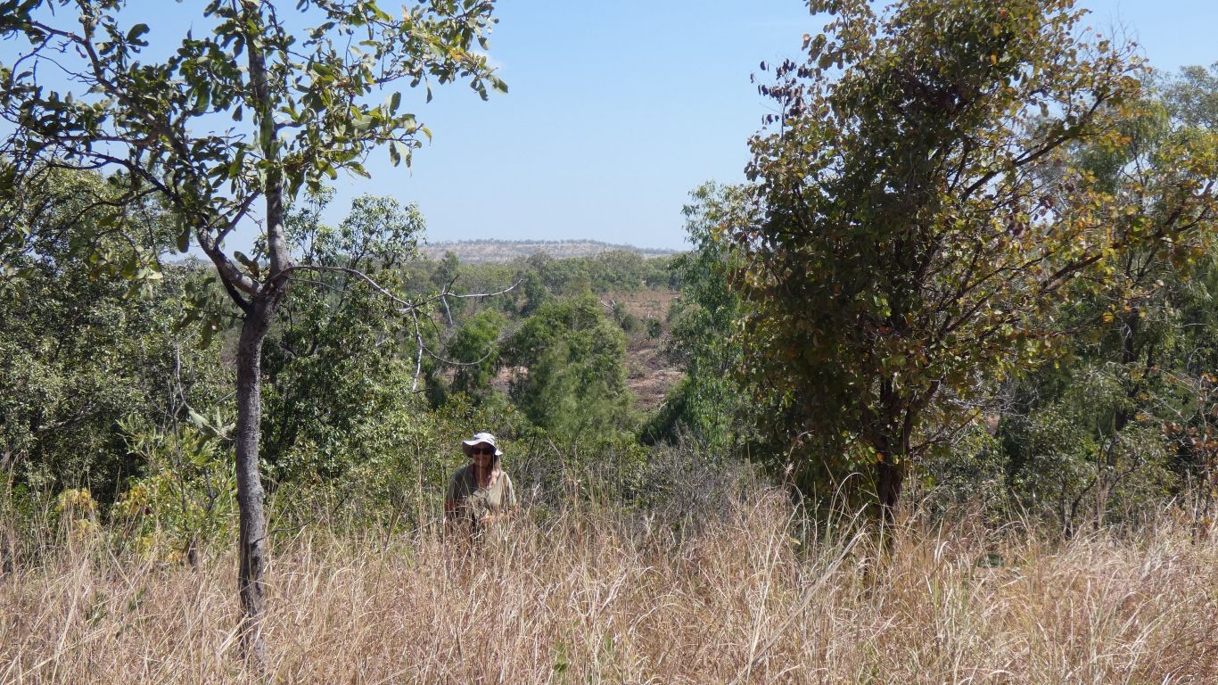
We decided to walk deeper into the park, past the falls.
Driving the 16km north east to the end of the park is not allowed - management vehicles only. There's a locked gate. The first bypass is under a low tree with a pile of earth. The second bypass just a pile of earth. We are discouraged ...
We walk a couple of km. Somewhere further on is, I think, a track to the river. From the map the road (it is a wide well graded road) stops short of Katherine and Flora confluence by about 2.5km. There's a creek crossing that doesn't exist.
Several wrens in long grass next to the track.
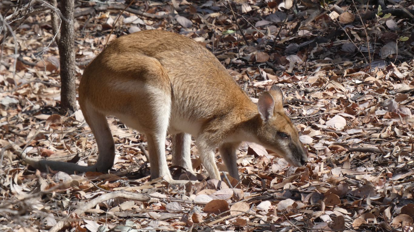
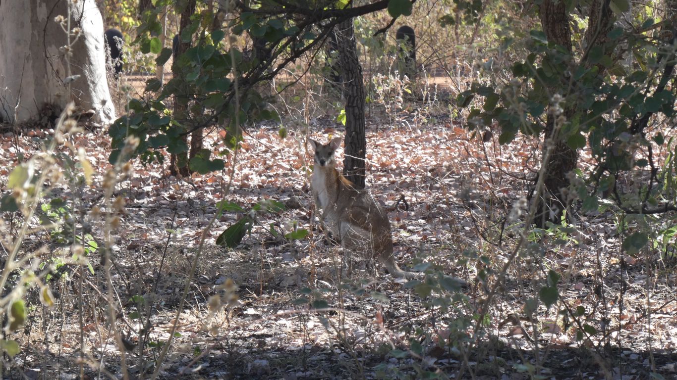
A little nervous. But there is was. About 15m away.
We are none the wiser as to what is nail like about its tail. It is rather pointed. Now we'll have to look at the shape of other wallaby tails.