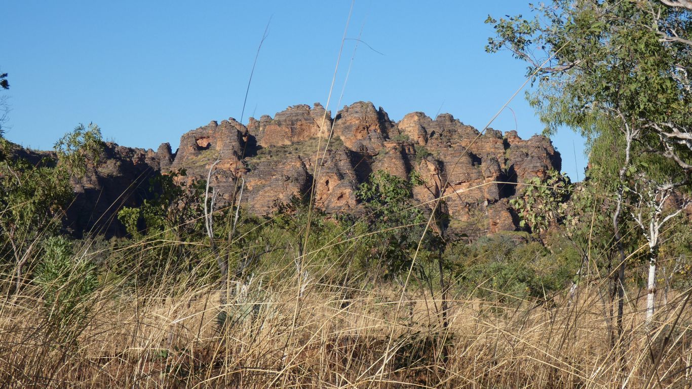
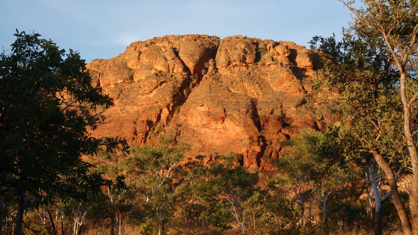
Some of the rock in Keep River park is similar to the Bungle Bungles.
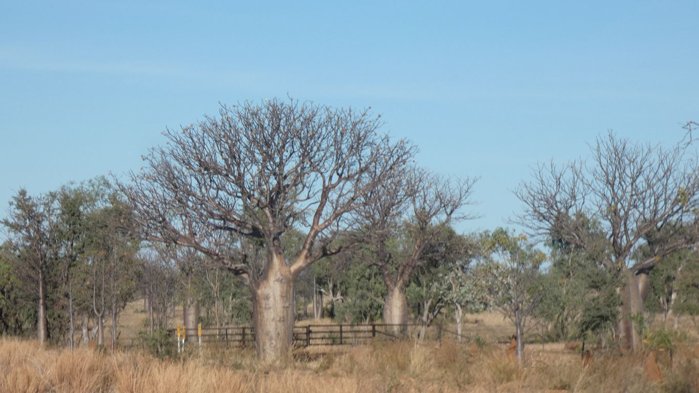
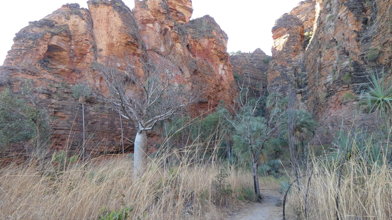
We begin to see baobab trees.
We start early, as soon as there was sufficient light. Fill with diesel, and catch up on internet, at Timber Creek.
The Victoria River flows north from Timber Creek, the road west. The river flows between the north east to south west aligned Yambarran and Pinkerton Ranges.
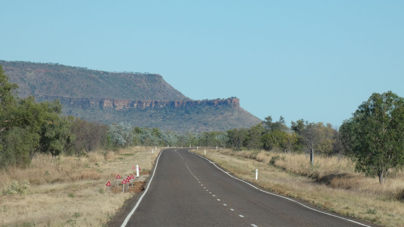
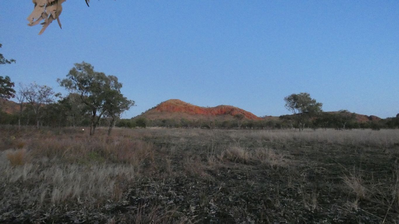
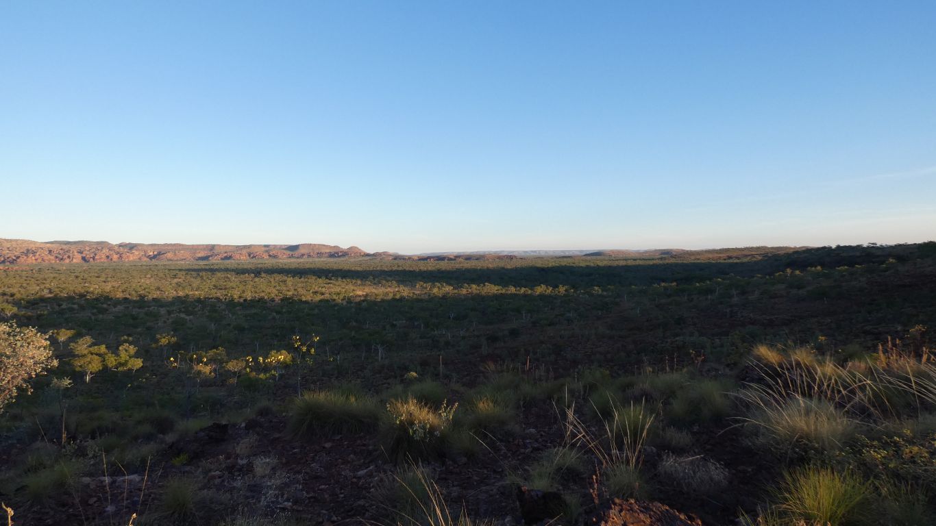
We can see the escarpment of the Pinkerton Range. It is in the distance to our north for about 80km. Flowing north east along its base is the West Baines River. The range is inaccessible to us.
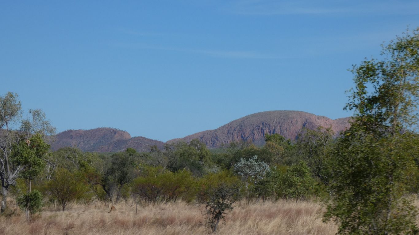
Behind the Pinkerton Range, to the north, and parallel, is the Spencer Range. Invisible to us, but the rock formations at Jarnem (northerly) campsite in Keep River National Park are at the south west end of the Spencer Range.
On a contour map both ranges look contorted, and interesting.
Perhaps time for another schematic.
This pic is simply the gap through a short addition to the Pinkerton Range. We'll try for some pics of the range on the way back towards Gregory.
We turn into Keep River National Park shortly after, less than 5km from the Western Australia border.
We head to Jarnem Campground, the northerly one of two in the park. We are early enough to get a spot. As suspected, its full, but not as sardines.
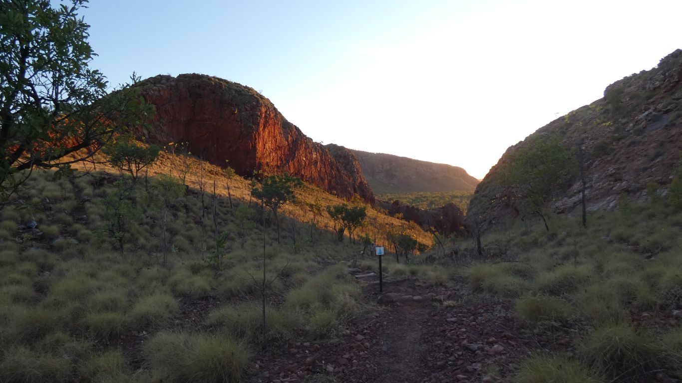
Tomorrow we'll walk the about 6.5km circuit.
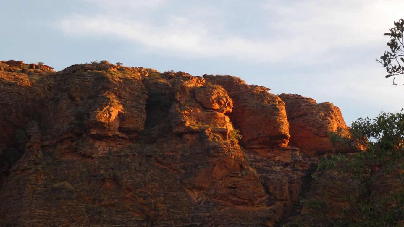
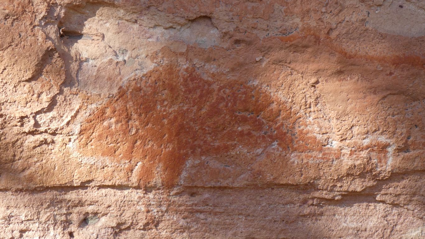
We can imagine all sorts of stories about these four, visible from the campsite. But we have no real idea why sacred. As impenetrable as the Masons, without the opportunity for membership.
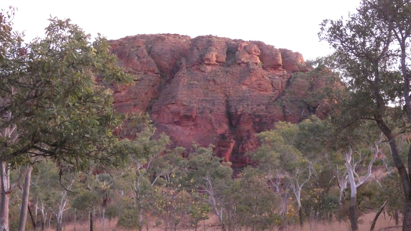
Karst, like the Bungles, about 100km to the south.
The sand that formed the Bungles eroded from the Osmond Range, a hop skip and a jump to their north.
I can't imagine the sand for here came from the same range, but I don't know where it came from. The Bungles are more coarse in the north than the south which provided a clue to which way the water that deposited it flowed. We haven't seen a large enough area here, yet.
The Keep River flows south to north.
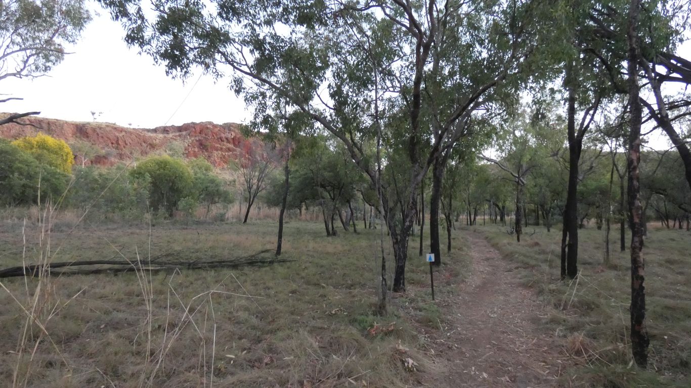
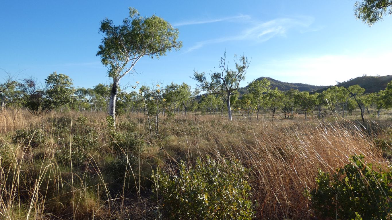
As well as lookout and rock formations the track crosses different soils and vegetation.
Mostly sand, but through areas of black soil floodplain.
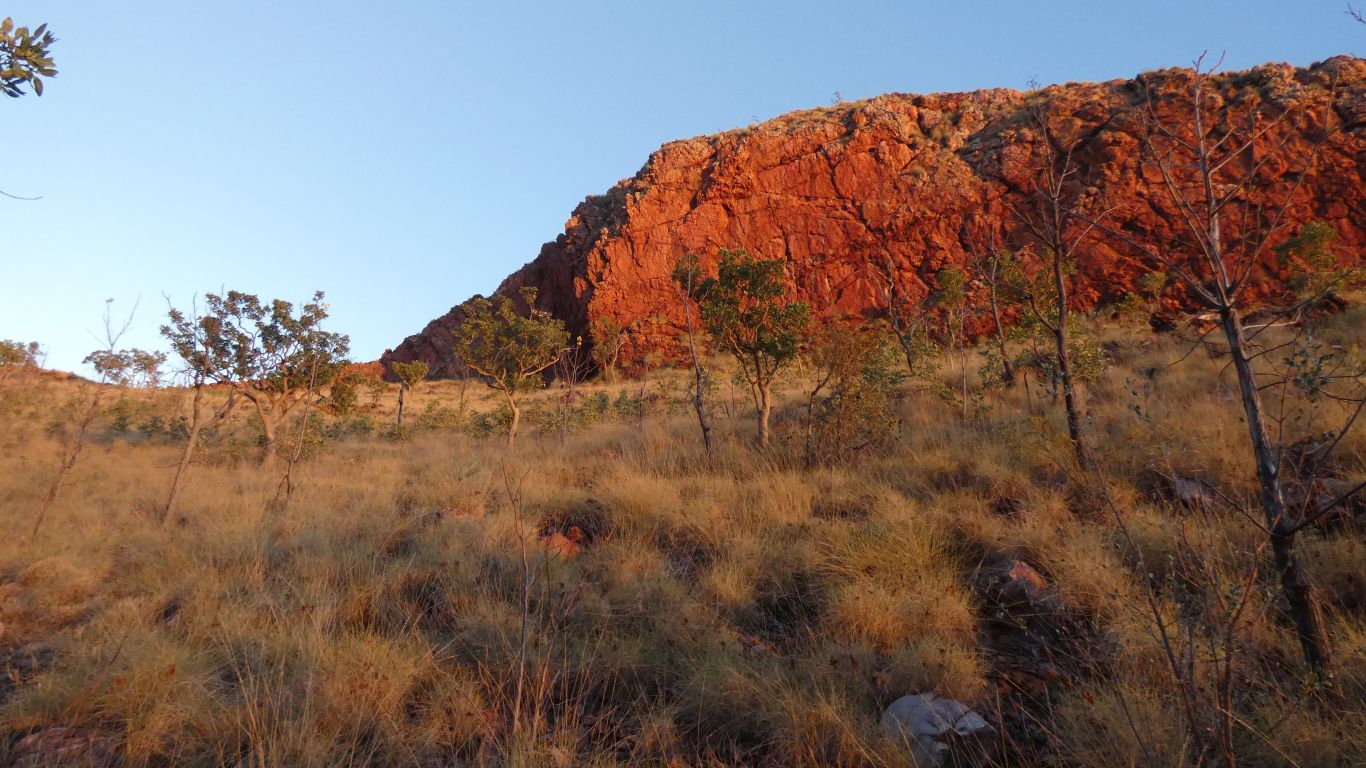
The sun has nearly caught us.
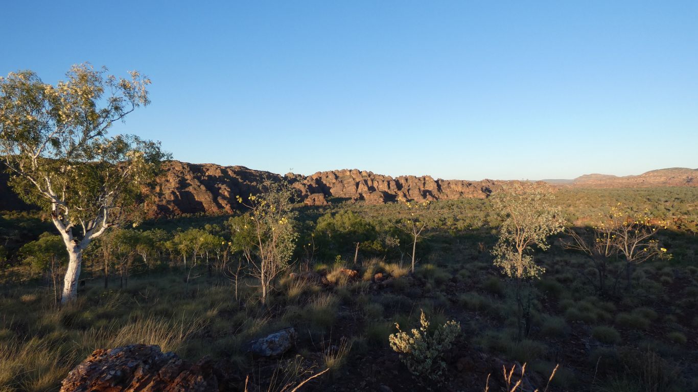
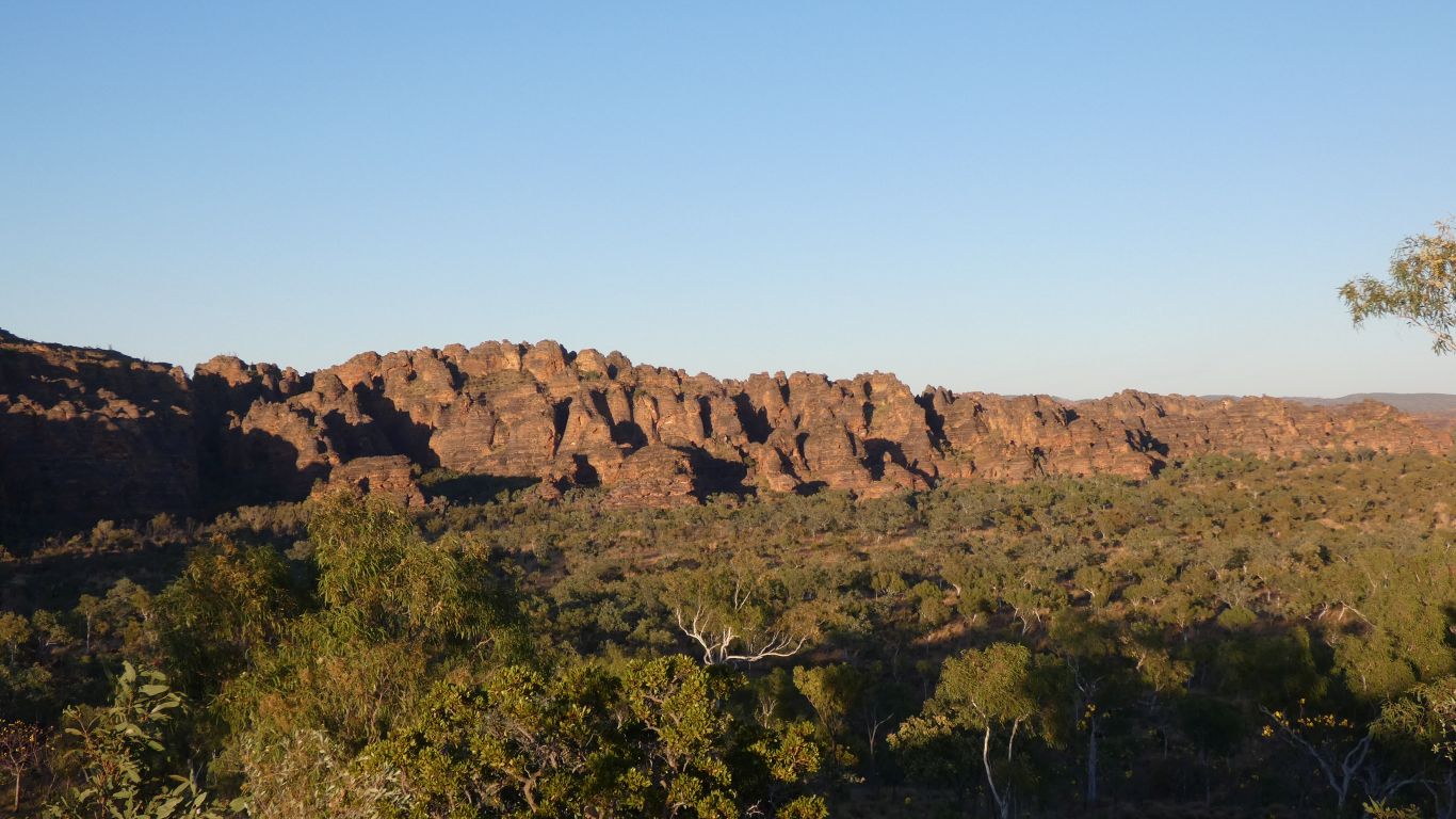

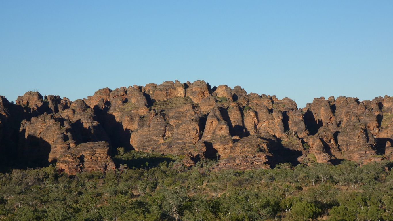
They are banded red/grey in a similar way to the Bungles, but very much not as pronounced.
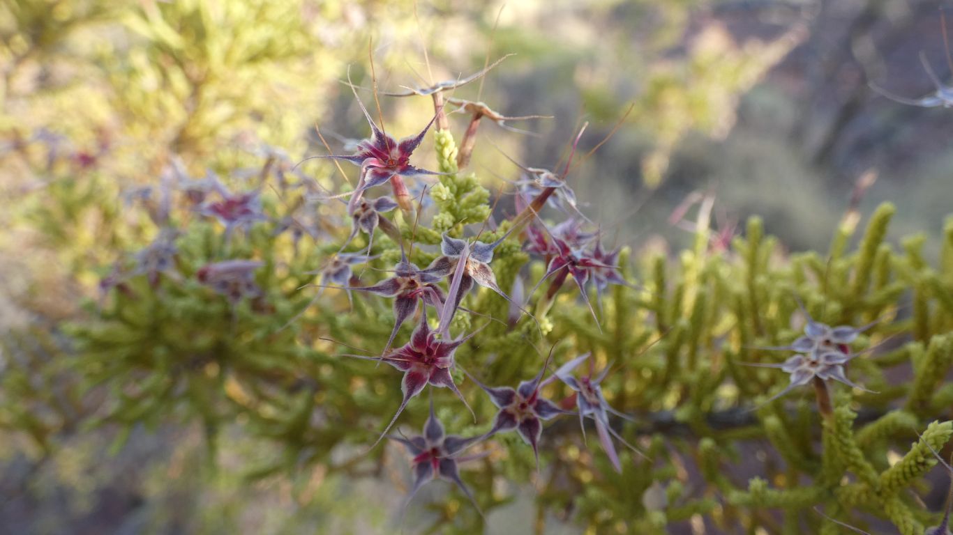
And we discover from a conveniently placed sign (you didn't think I can recognise all this without help did you?) we learn that those beautiful orange flowers we see on trees, the ones the birds pick off and throw on the ground, are from woollybutt.
Big.
The advice to walk anti-clockwise was good. Catch the sunrise, walk towards the domes, be in shadow (and cool) for some of the return.
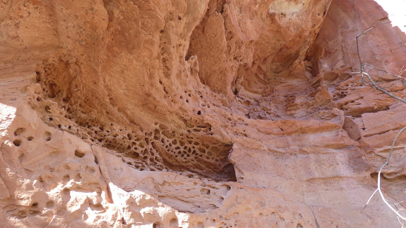
In many places the water eroded domes are incomplete as later erosion cleaved slices off. Very different to the Bungles.
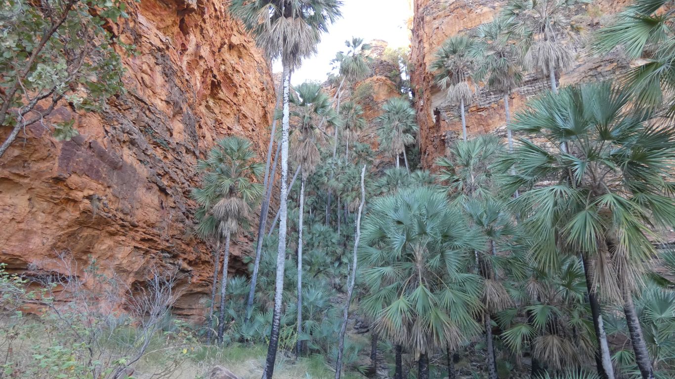
We are walking along the base of the rocks.
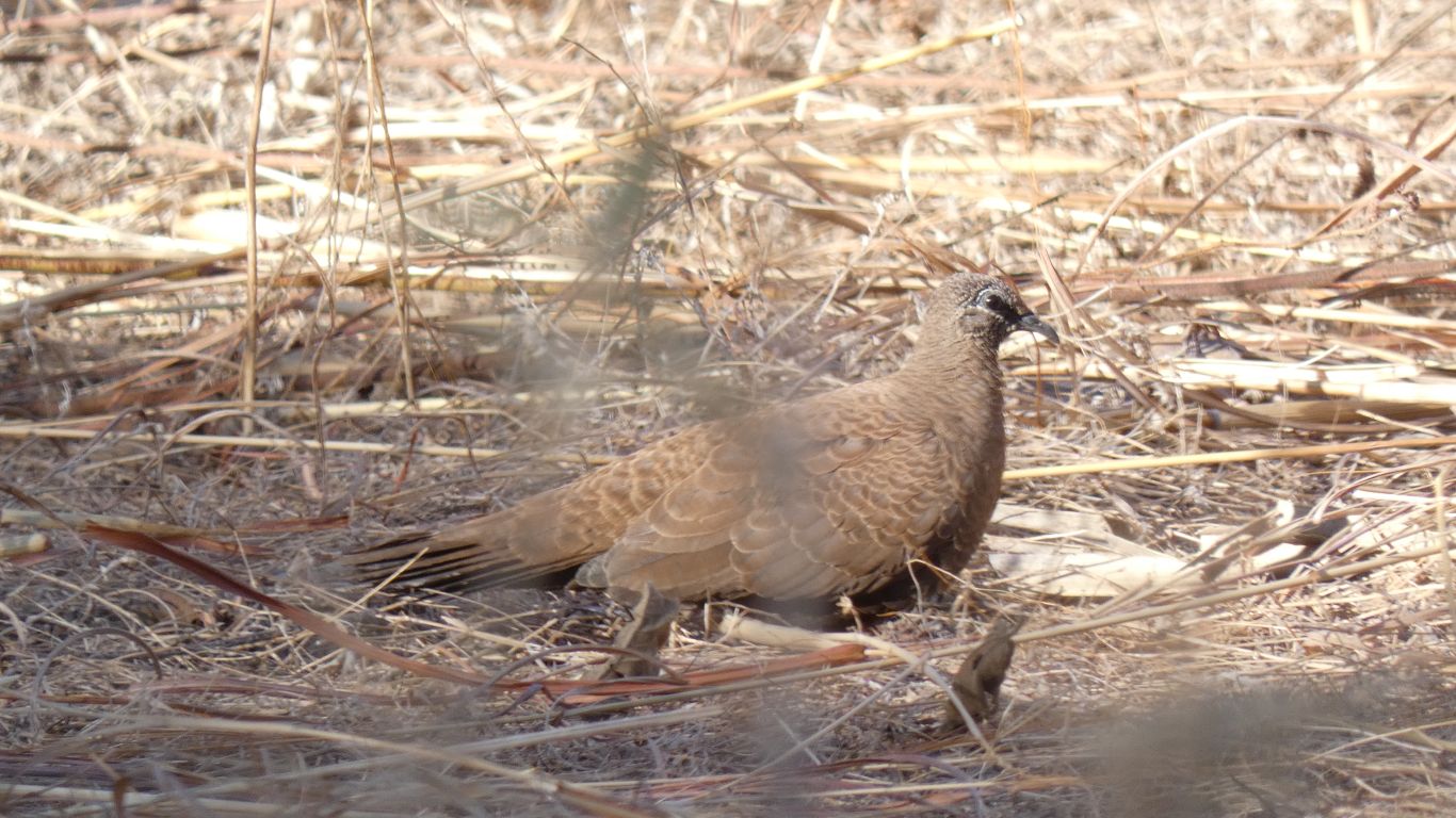
So resorting to a sign we encounter a couple of days later - a white quilled rock pigeon.
The walk back is east, to the junction where we turned north, then back to the campground.
We are pushed further from the rocks by fence and track. There is, of course, an interesting looking valley shortly after this cleft.
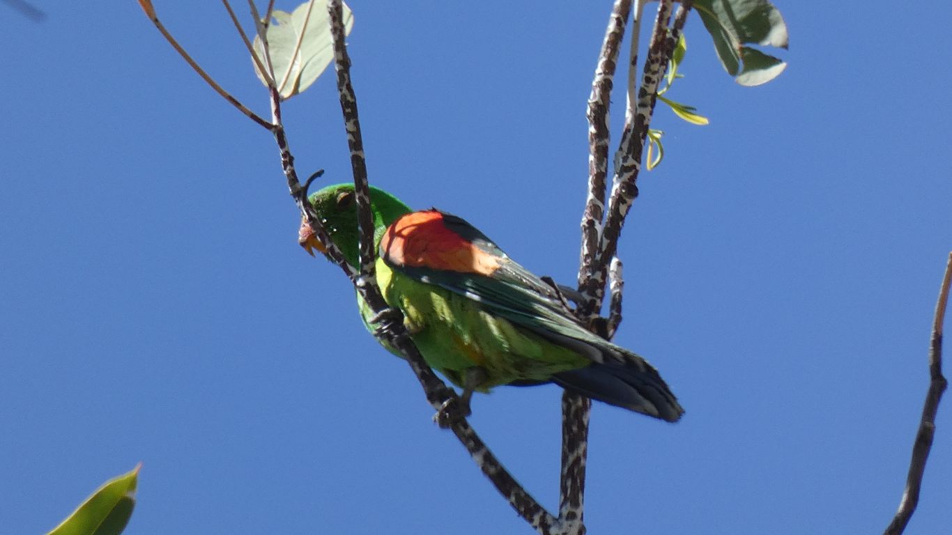
A visit from a red-winged parrot.
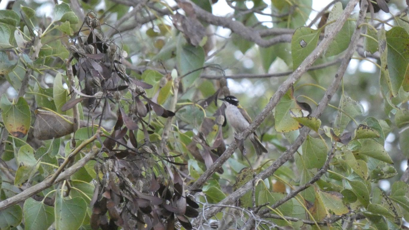
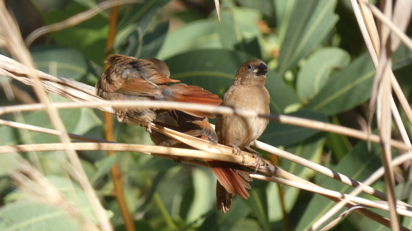
A flycatcher methinks.