Apart from the road to Bullo Station, a 75km long private track, winding north across both Pinkerton and Spencer Ranges, there is no apparent access.
As one does!
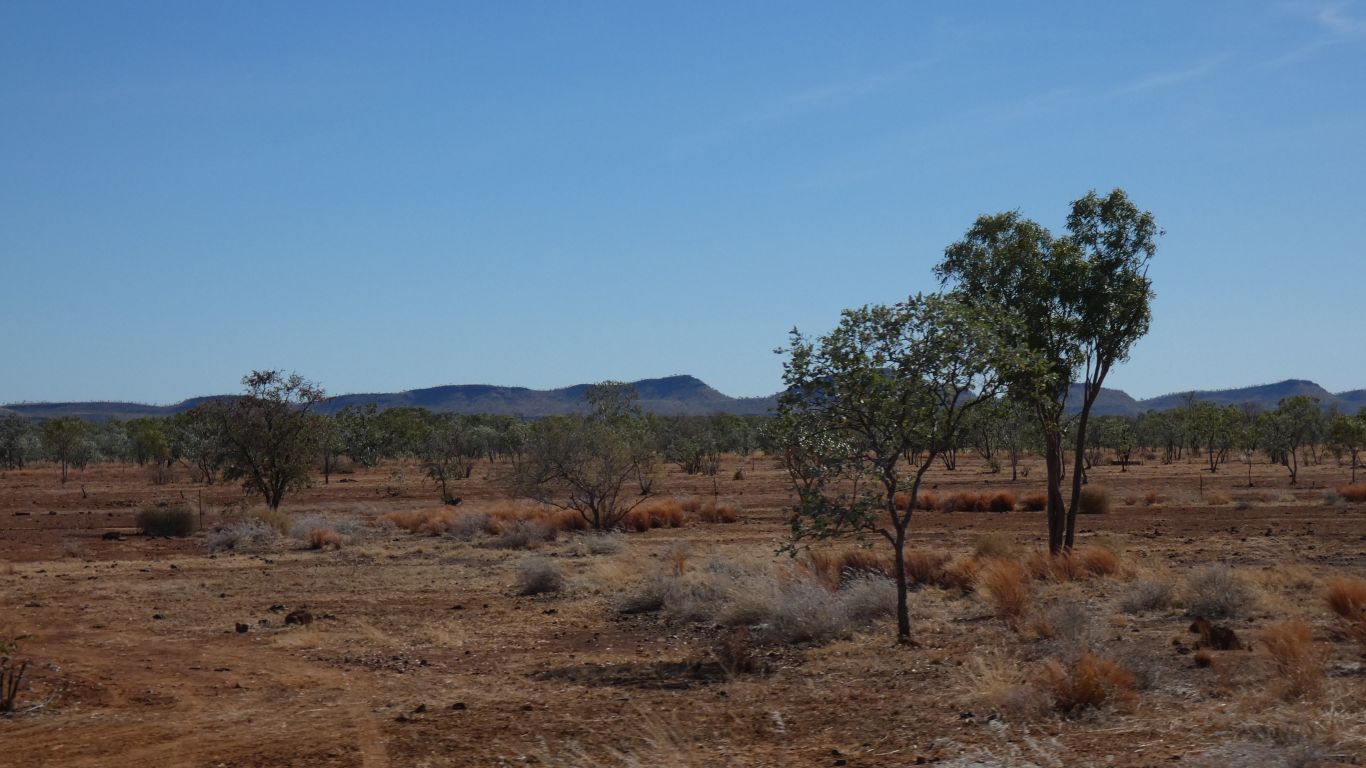
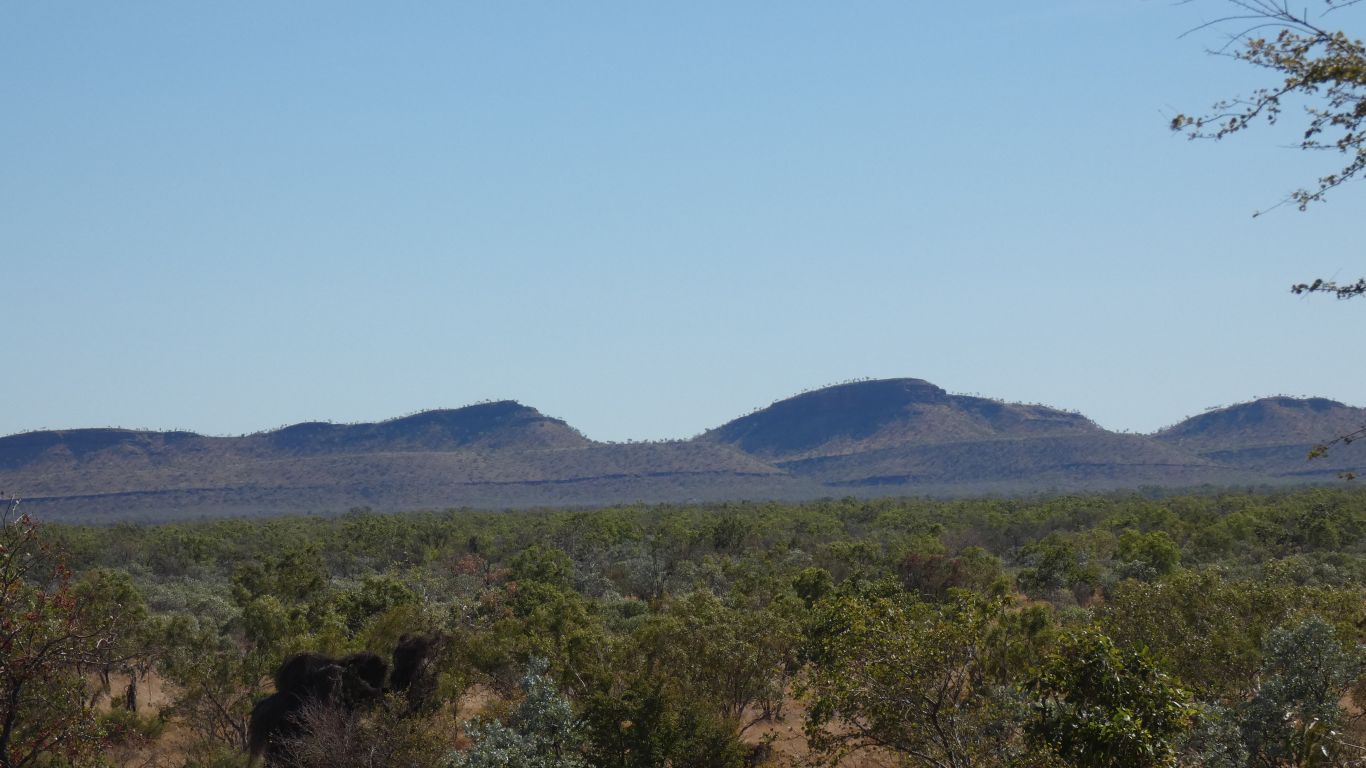
We are near sea level. The high points of the range are between 250 and 325m.
Not particularly high. Hills really.
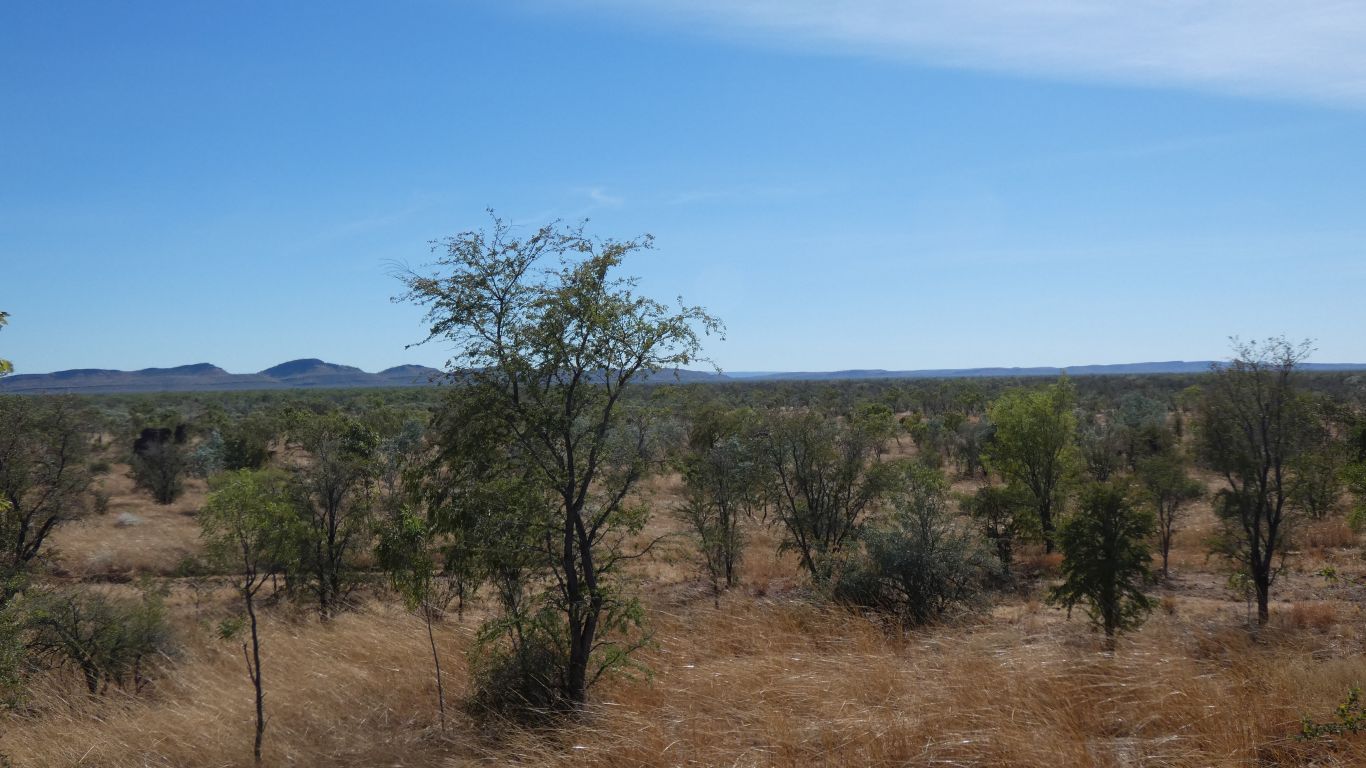
From the map it looks like there may be gorges on the north side, the creeks flow northwards.
Looks tilted up to the south east. Keep River hills looked tilted up to the west.
Isn't geology wonderful? (rhetorically).
Even when one knows so little. Or perhaps because.
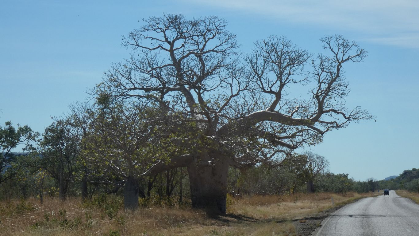
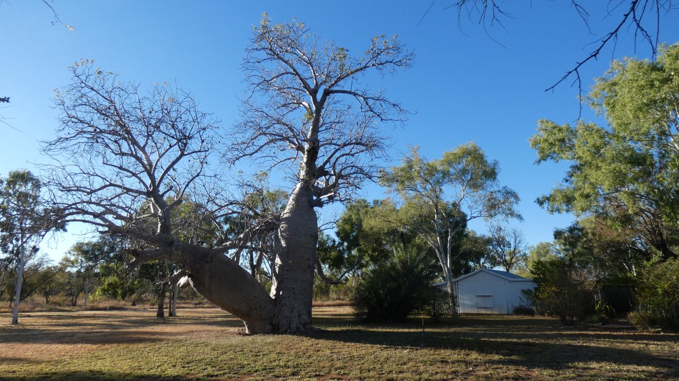
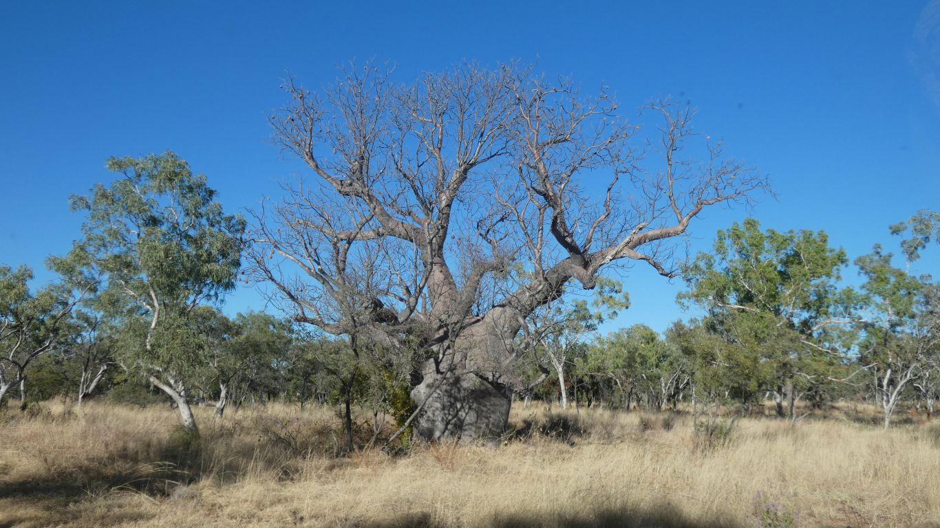
Now that we've decided they are boab trees not baobab trees as in Africa. Seemingly different species that just look similar.
I must pay more attention to what's on the shopping list ......
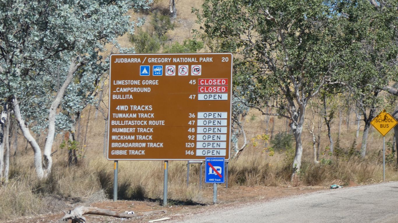
Then on to Judbarra National Park.
We knew Limestone Gorge is closed. But what a pity.
We were looking forward to re-aquainting ourselves with stromatolites as well as tufa.
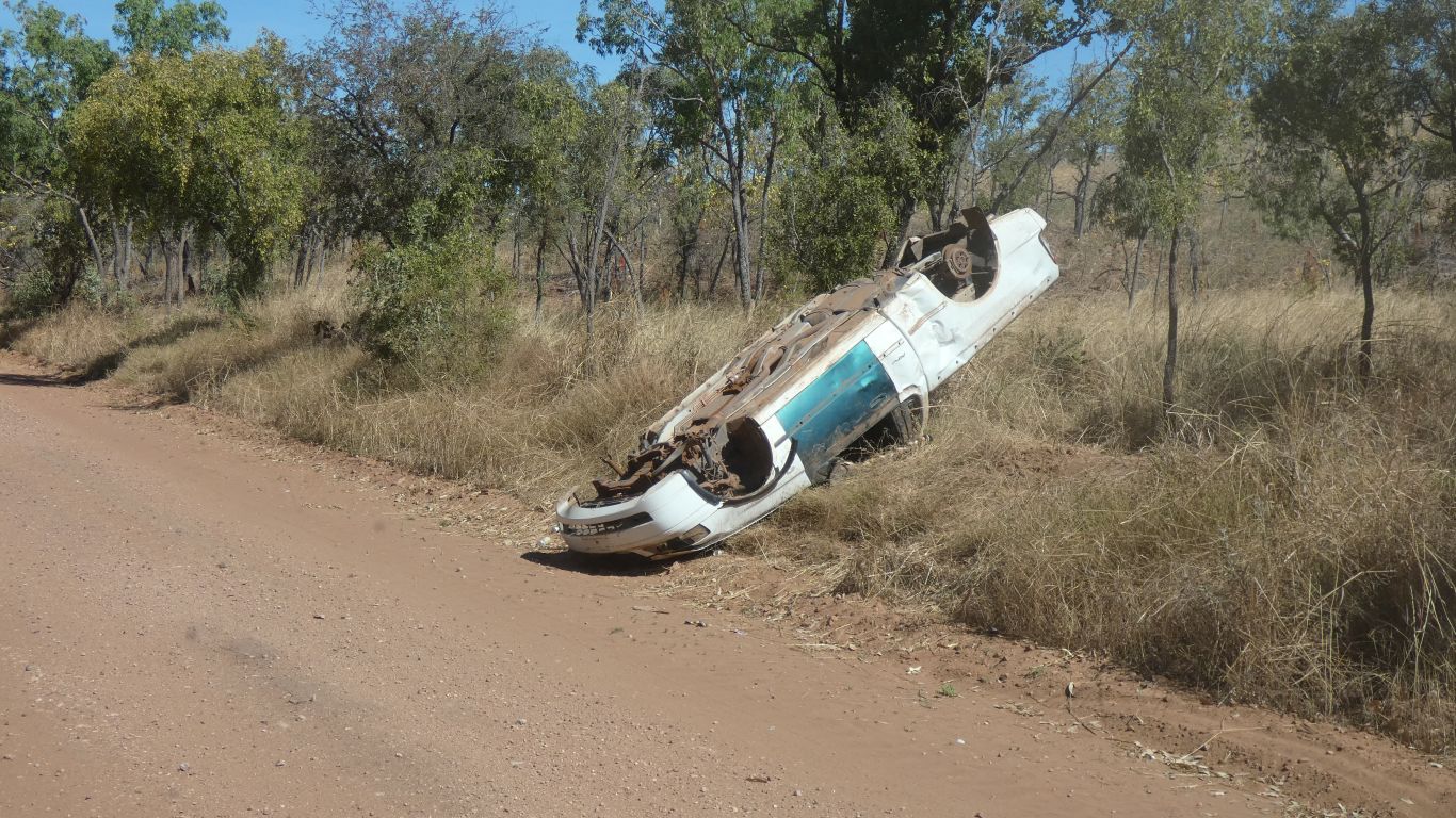
In jest we counted the discarded empty beer cans and cartons along the roadside.
Lots.
We wondered if any full cans ever reached the community.
Our humour faded somewhat as we rounded a bend.
One might say "sobering".
We have no way of knowing if there is any connection between empty cans and upside down car. It may have just stopped and been turned over to allow easy wheel removal. If not, we hope the occupants survived.
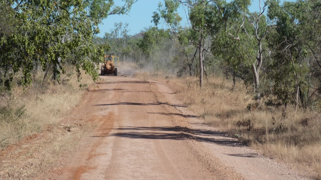
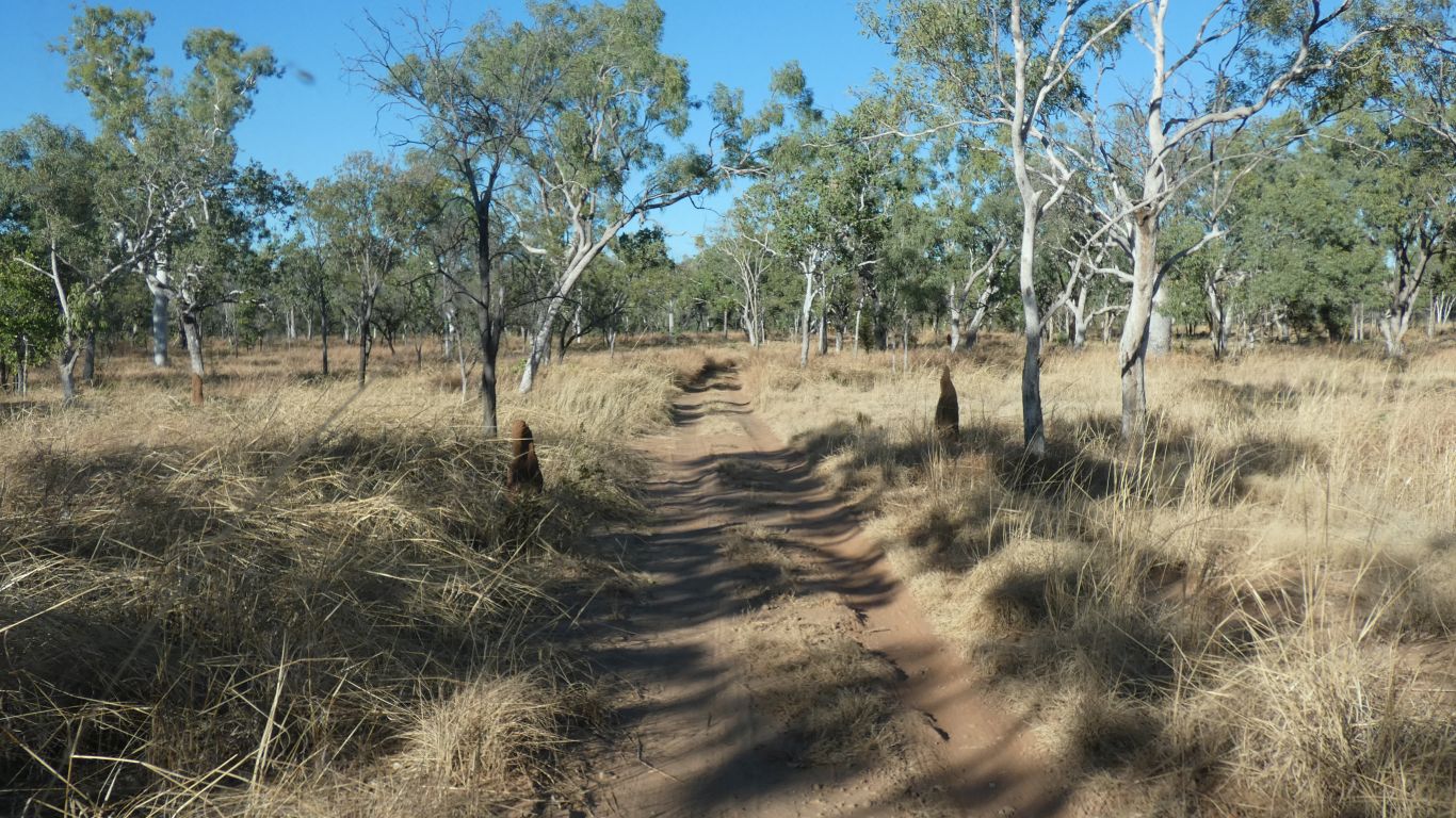
The road wasn't bad. But now it is better.
Just past the grader, before we could pick up speed, three motorcyclists passed us.
The homestead less than a km away, but have to drive as no walking track alongside the river.
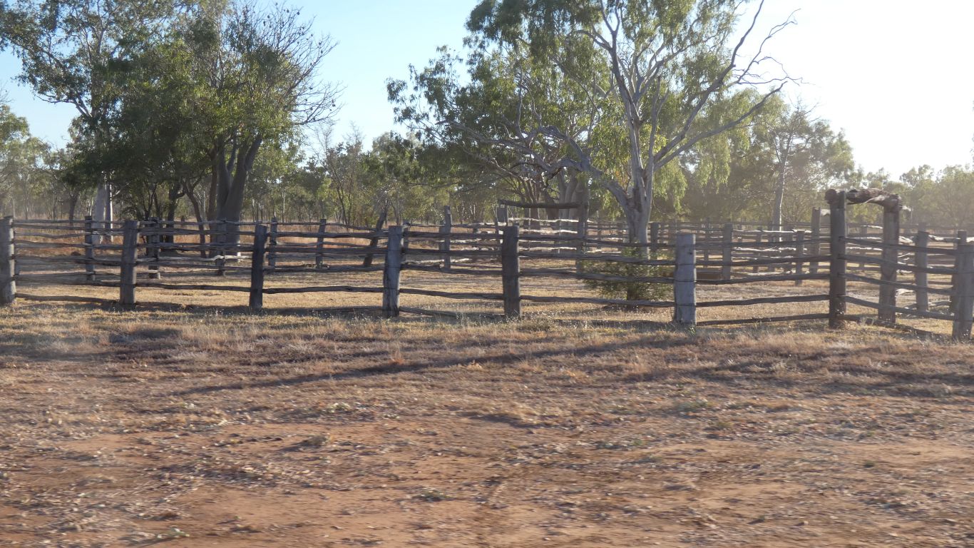
The yards.
The homestead was built in 1960, replacing a couple of earlier buildings. The yards were used until the park was established.
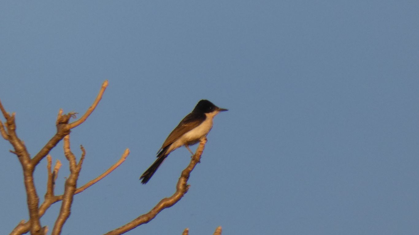
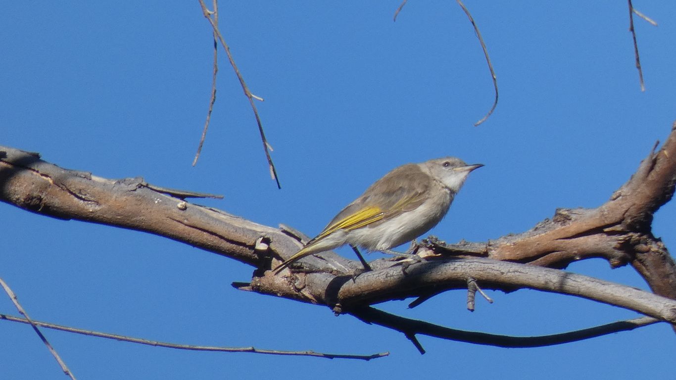
We think a very small honey eater.
About 45km. We expect slow.
The boabs are a bonus.
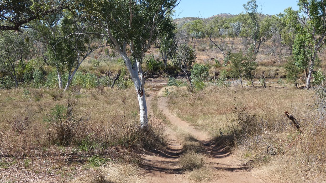
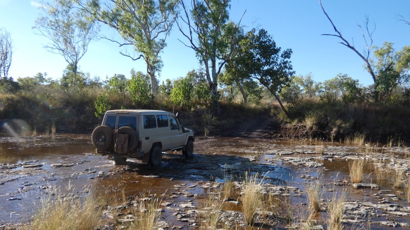
Relatively easy going at each end. In the middle the track rises a bit, leaving Fig Tree Valley, then down to the Humbert River, which flows south then east out of the park.
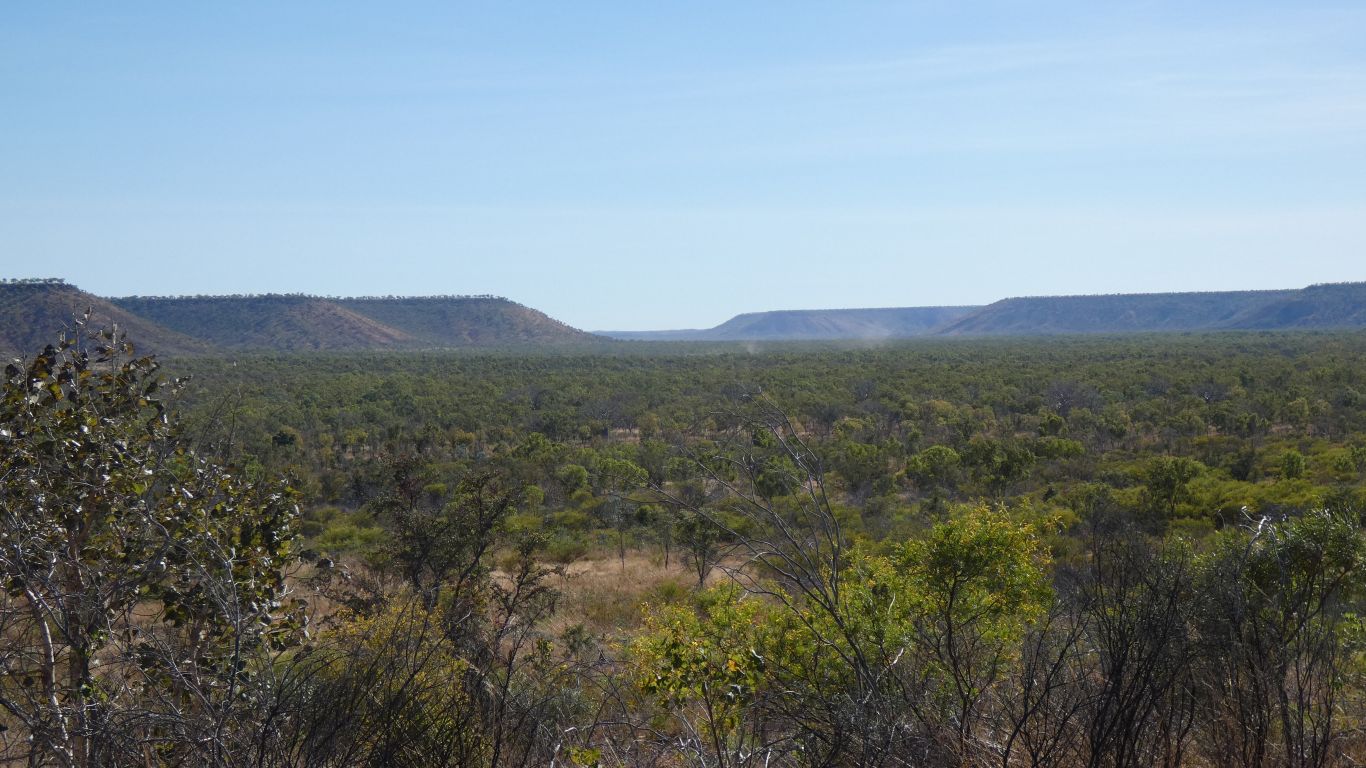
The valley is wide. About 3km at the gap in the distance.
The dust in the distance is from the three motorcyclists, or at least their bikes.
We let them past. A very different mode of transport. Lighter, faster, fewer conveniences.
It takes us 3 hours, including detour and stops for 48km. About average.
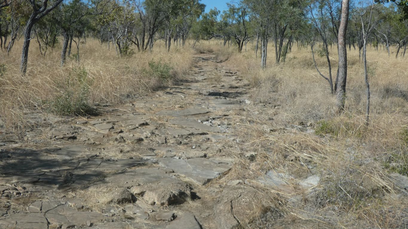
The rock is limestone.
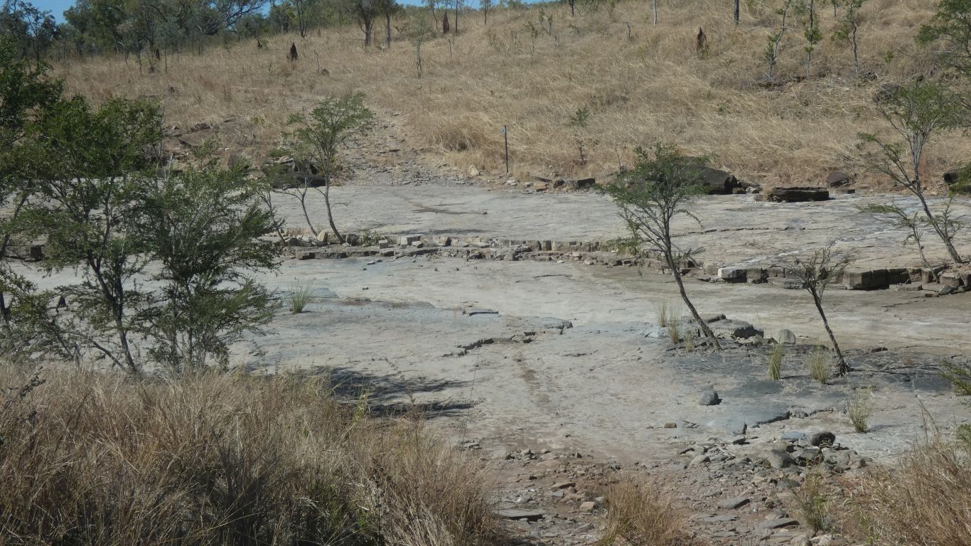
Limestone base.
After so many bumps we took the detour 100m upstream in the river bed, along the river bed, turn, turn back on the opposite side, turn up the track. Just to avoid the steps.
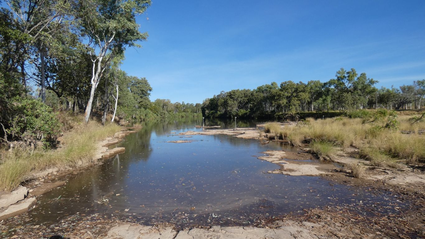
Overlooking the river, labelled Gunbunbu Waterhole.
We meet a group of six people from Narrabri in three vehicles having a day off at the camp.
They have arrived from the south and have lots of questions about the track northwards, which we've just traveled.
The track notes supplied by parks mentions a jump up. It is indeed steep and long, and south of us. We reckon if they can tow a small pop top up it we can drive a little truck down it. Its straight.
For our part we show a couple of pics of the worst part of our track. Its likely they'll carry on north. Unable to cross the border into WA without the possibility of covid quarantine they have arrived from the Tanami Road, turned off at Tanami Mine for the track to Kalkarindji (Wave Hill) then north into the park. They have lots of useful information.
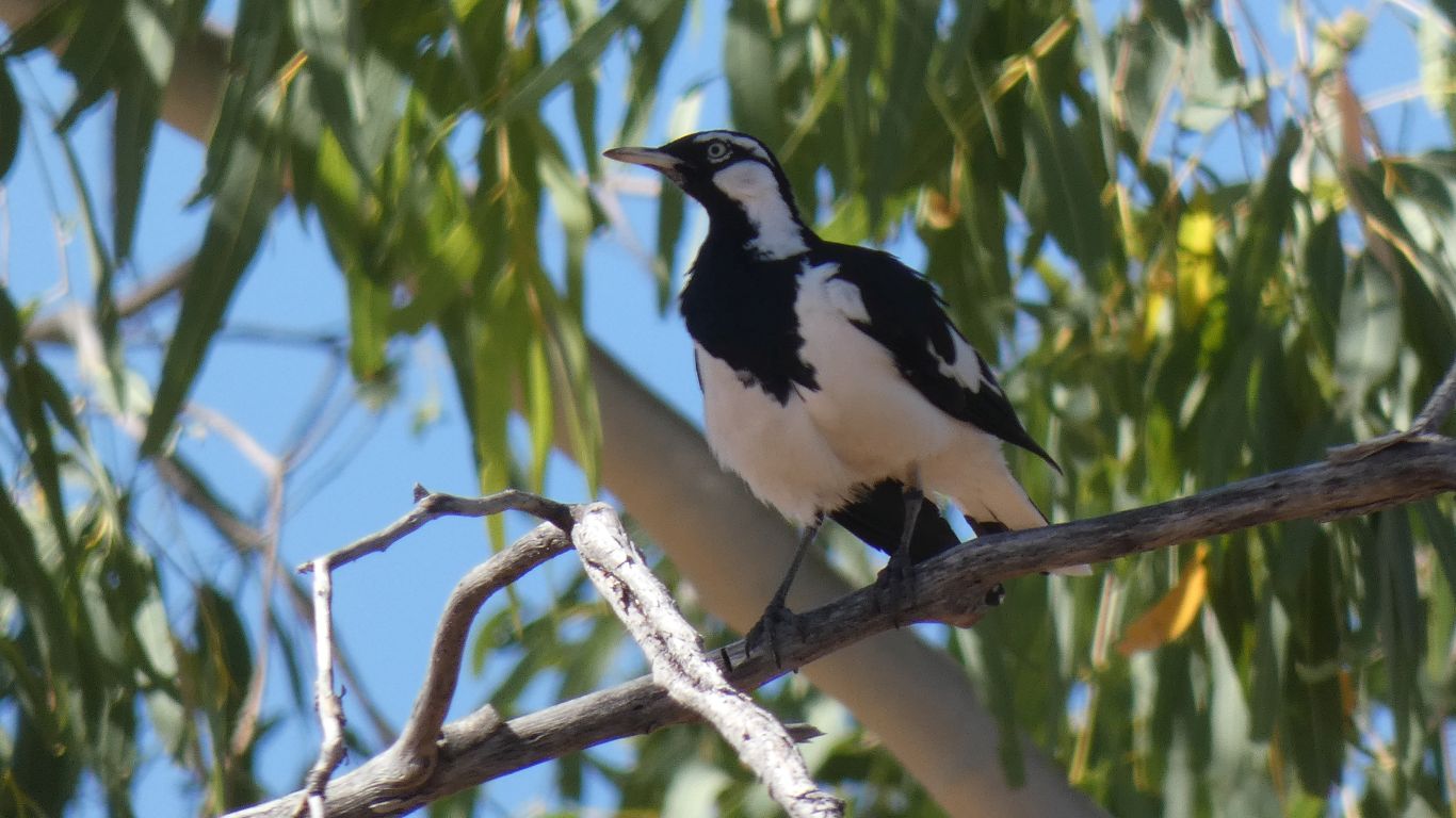
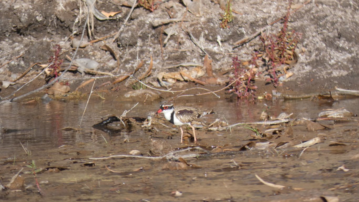
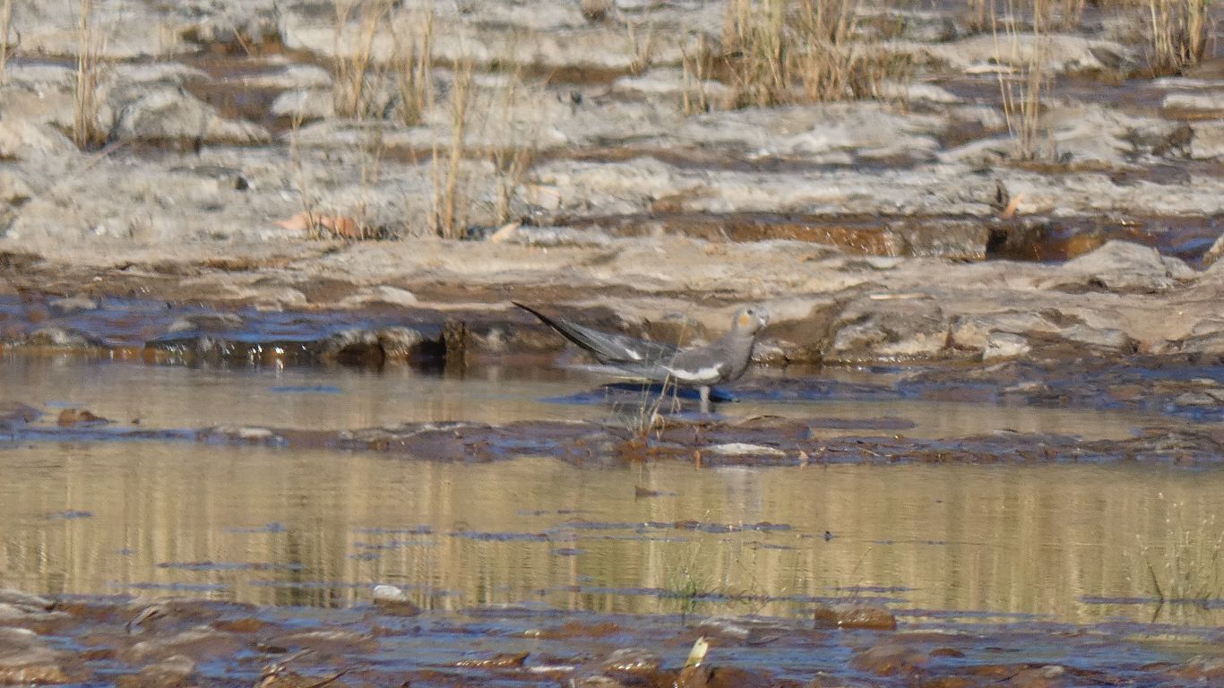
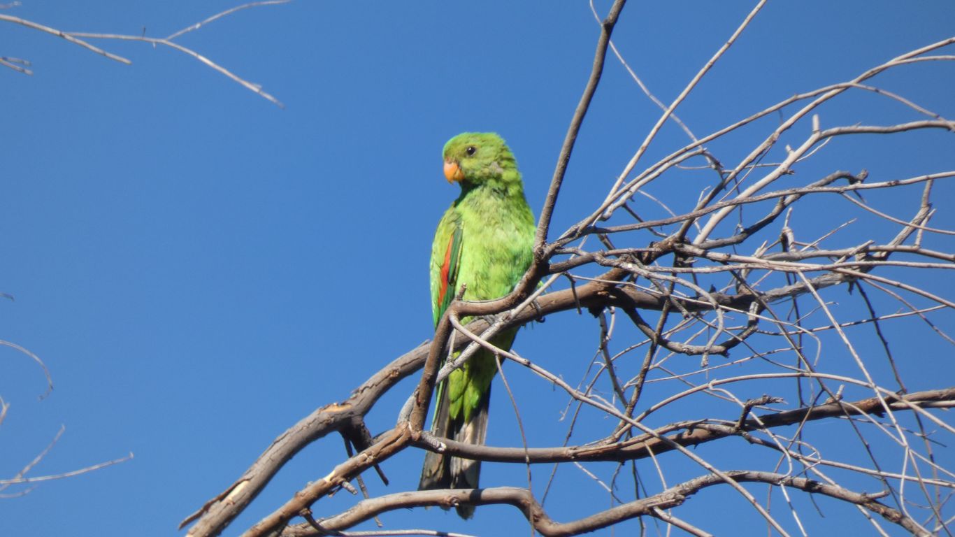
Surely not a magpie?
Too big for a magpie lark. It behaved more like a bird of prey than anything else. Only when we looked through the camera did we realise it was black and white.
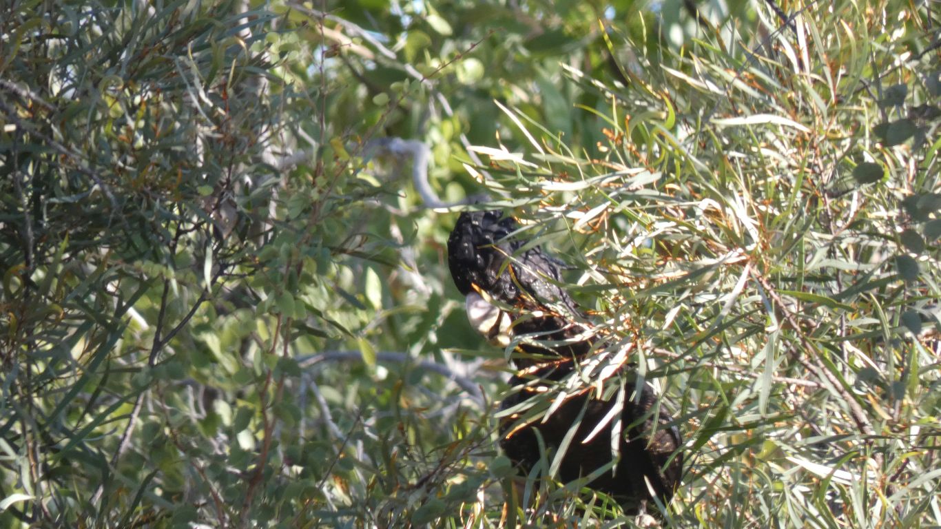
It took a while for us to work out what the vigorous leaf movement was caused by.
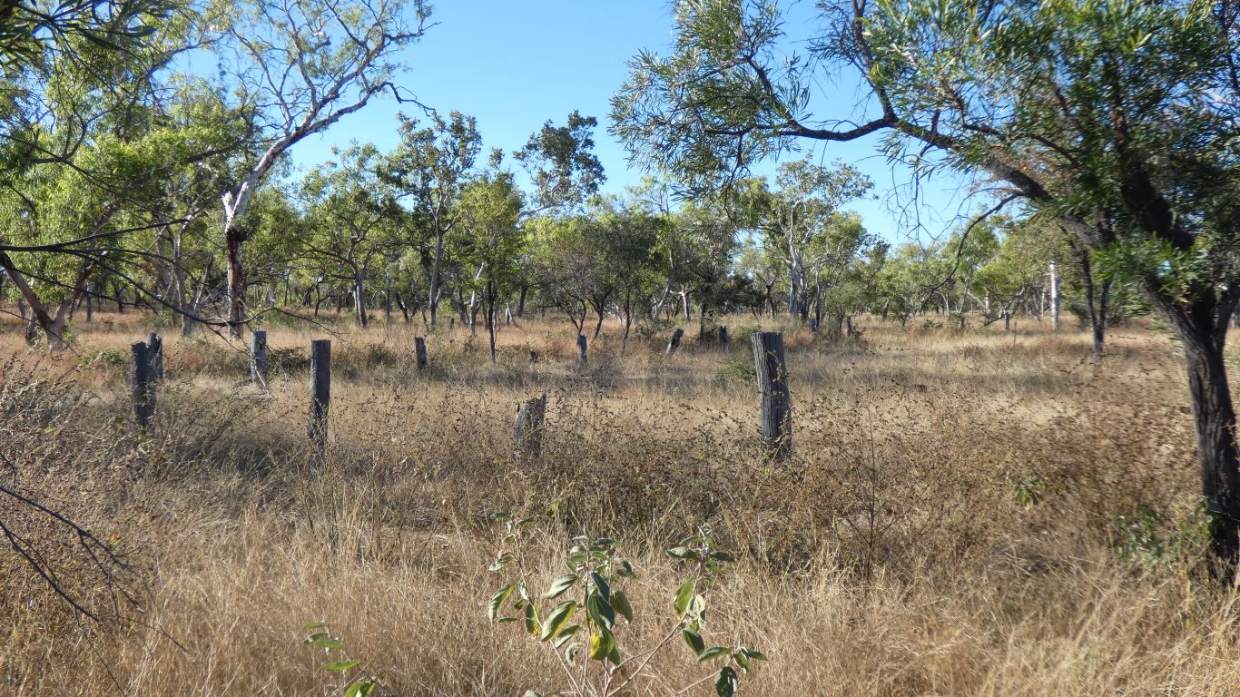
This is what is left of the old Top Humbert Yard.
We can't help but notice an absence of turkey bush. We find it more difficult to know what isn't near us than see what is. And we miss lots.
The track notes describe it as a short walk. We can't help but notice the track crosses the creek, just above the waterhole.
Of course I'm confused. I thought we were beside the Humbert River. At least this joins what is labeled as Humbert River on the map within a few hundred metres. Its longer than the branch it joins.
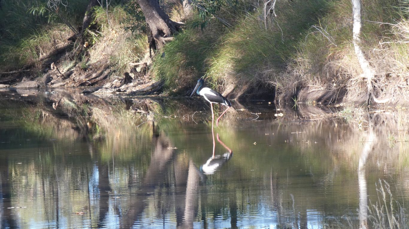
The jabiru landed while one of our neighbours was having a wash. Totally ignored him and everyone after who trooped down for a look.
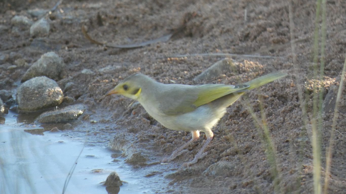
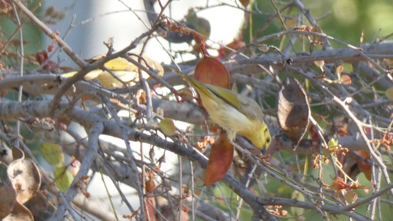
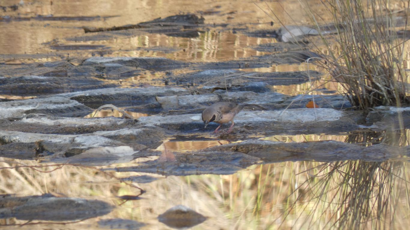
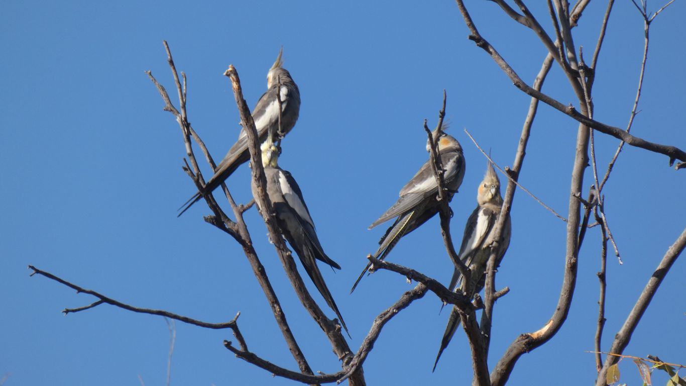
Bird book required for this one. It looks much the same as the small bird we pictured this morning.
Having decided to have a day off traveling we slept in. Breakfast. Turned the bread maker on. Then sauntered casually down to the creek.
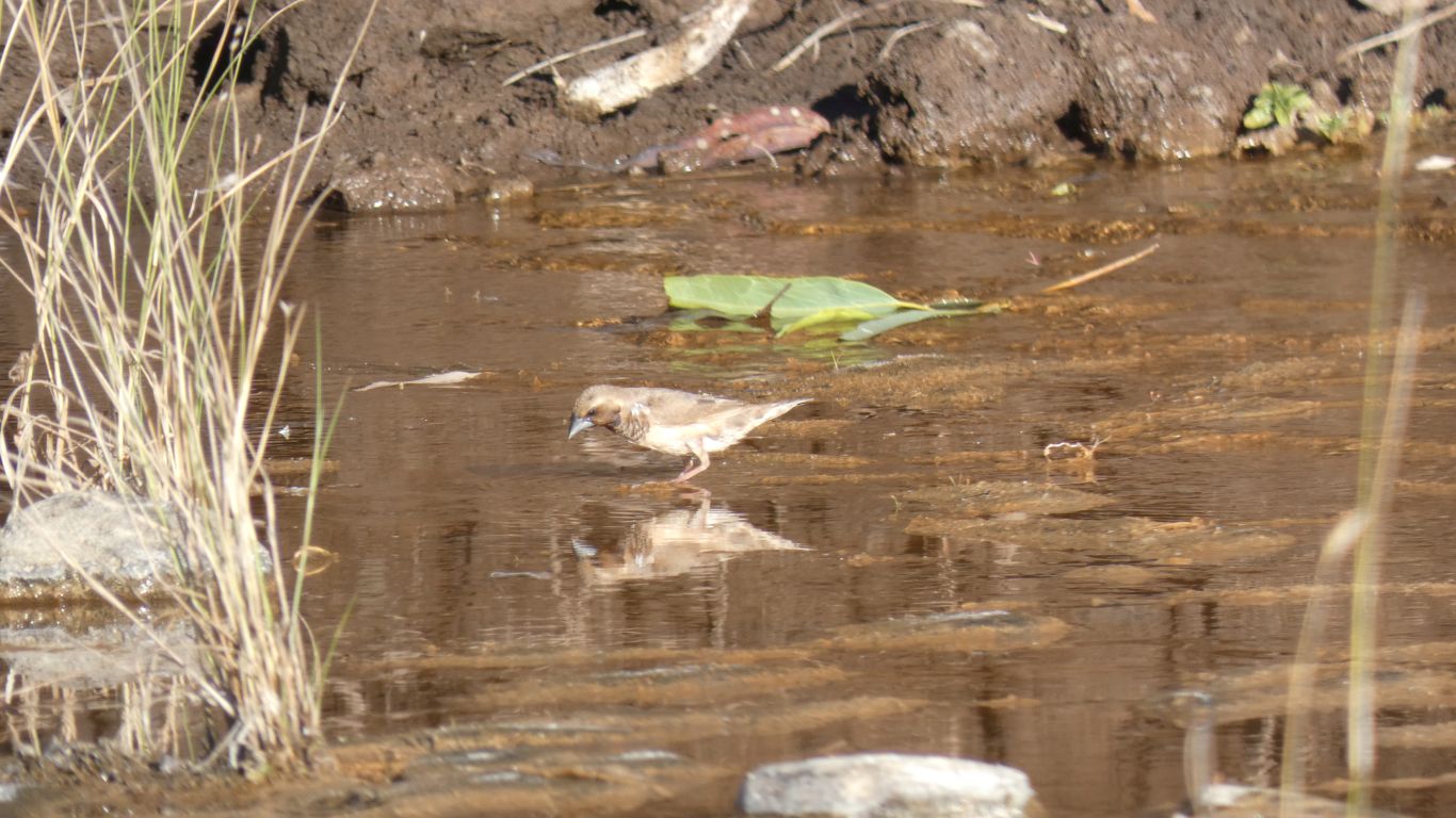
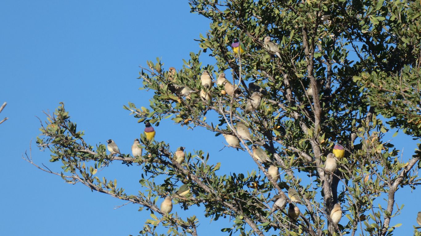
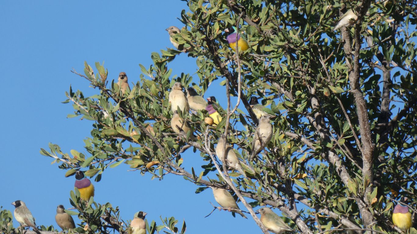
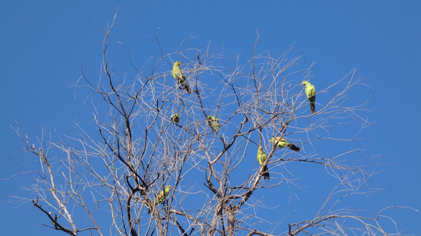
Hard to distinguish with naked eye. Just another flock of very small birds.
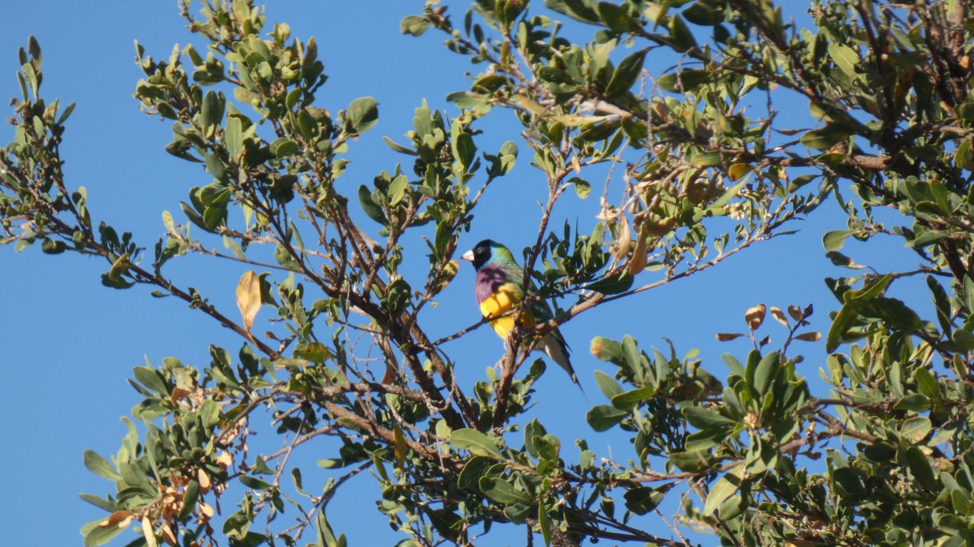
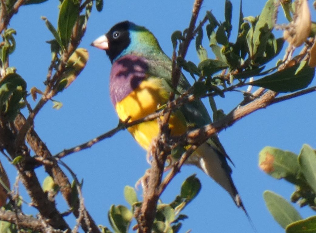
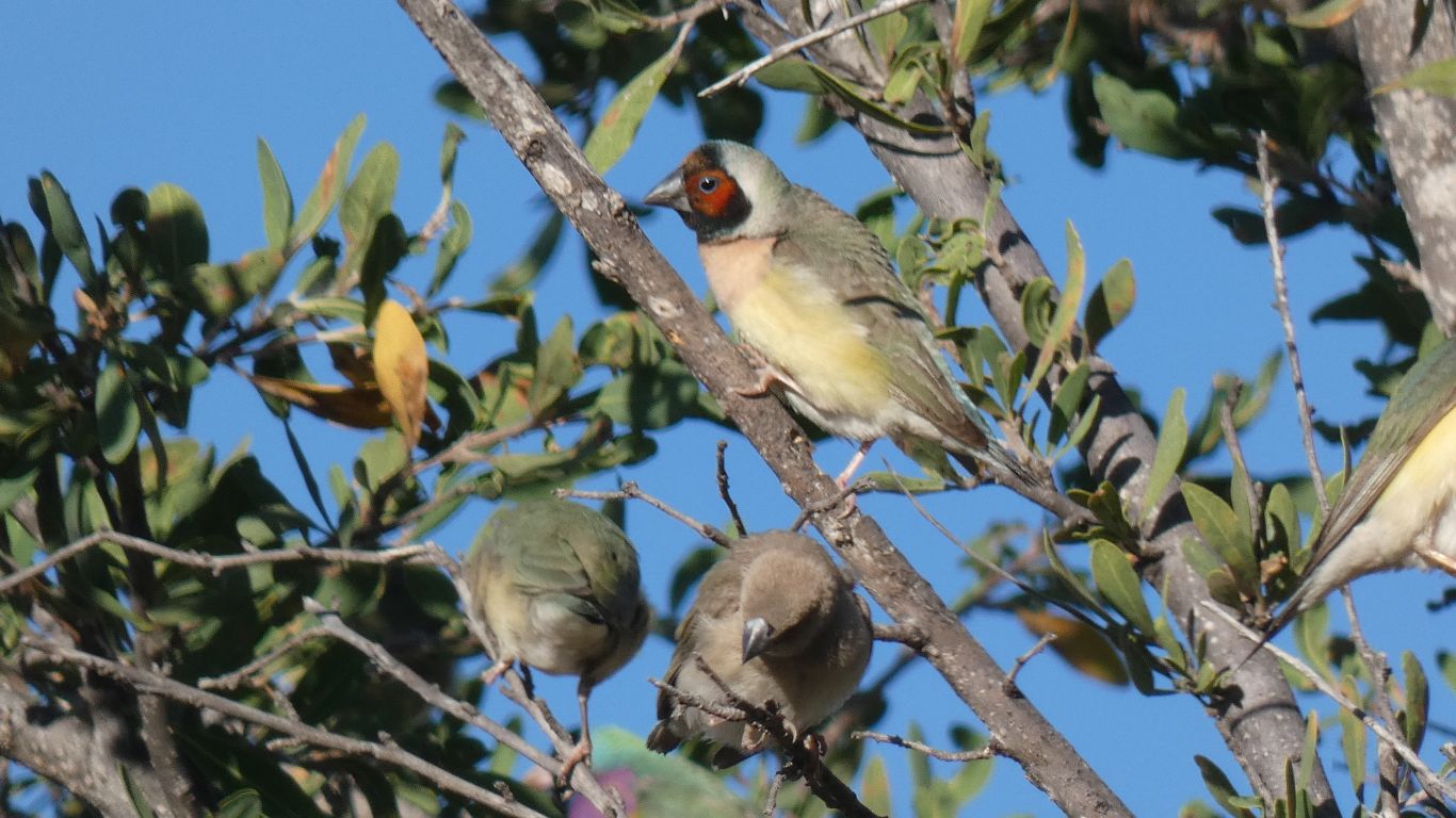
But wait. Wow. A Gouldian Finch.
Unmistakeable.
And so indoctrinated are we that we immediately think of the "rare and endangered Gouldian Finch".
We may not have seen a Pita, but now we've seen Gouldian Finches. A privilege.
Perhaps even karma? More likely just a one-off lucky day. Let's all meet at the waterhole?
The wonders of modern technology!
But then everyone knows what a Gouldian Finch looks like!
In a small tree near where the vehicle track crosses the creek.
Did I mention we left the bird book at home? Again....
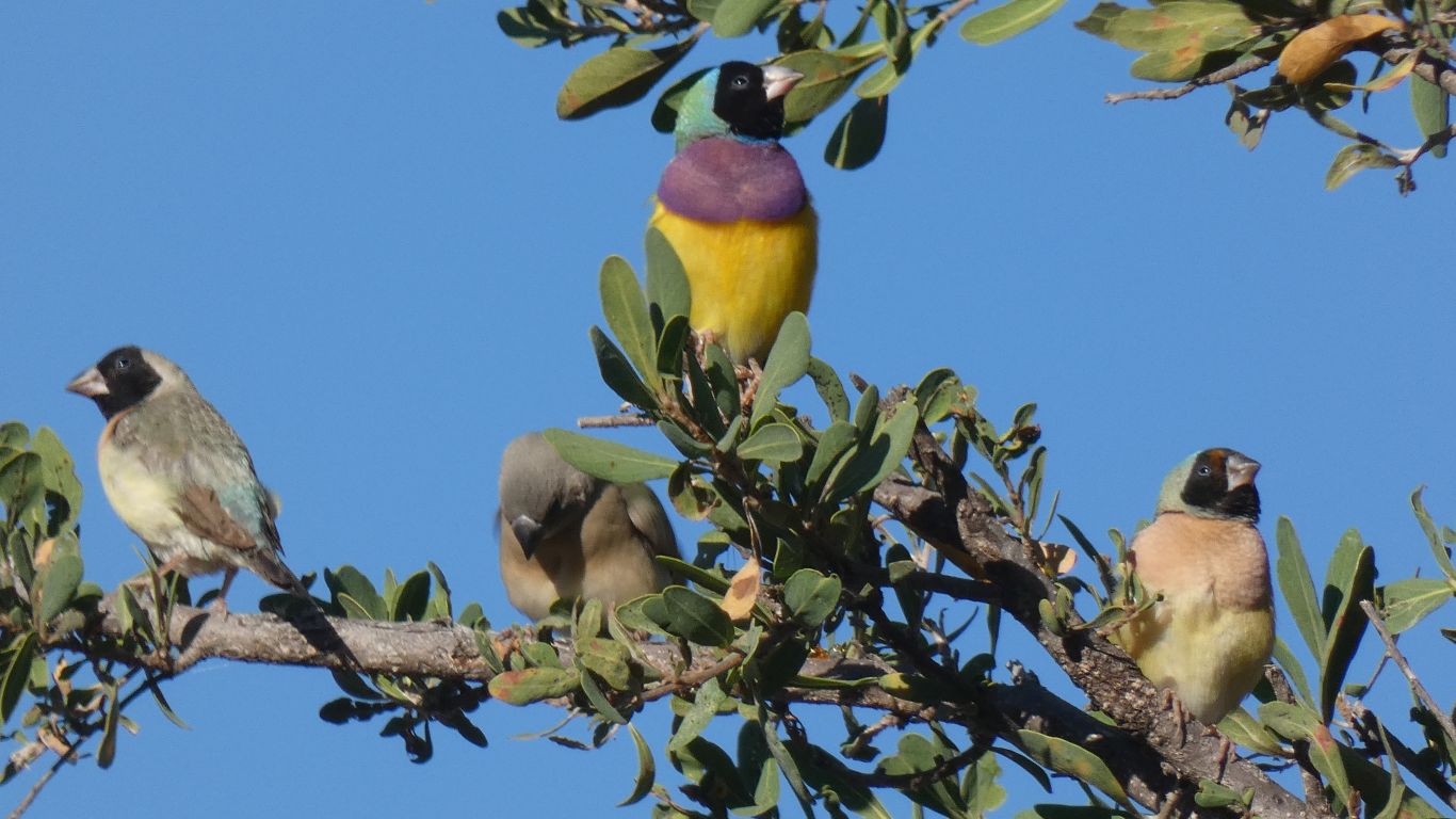
We think we are seeing a few adults and lots of youngsters, in various stages of changing to adult colours.
Hopefully a good year for Gouldian Finches.
How do they do it?
And why?
And the camera is behaving itself.
I can't recall "pin point focus" on earlier models of our camera but it seems to work well now I've found it.
Focusing automatically on the head of a small finch at 15m is no small technological fete.
We are never sure if black is an absence of all other colours or the presence of all. I suspect the latter in the case of feathers illuminated by the sun.
Disturbed by the first vehicle of the day. Cautiously headed south. As we will be tomorrow.
Given the plethora of birds around the waterhole perhaps we are getting a taste of life as the land dries after the wet.
We don't know how long they had been watching us.

But if we didn't know there were such variations we would have mistaken it.
What a wonderful way to start the day.
A day off. A bit of a stroll to the end of the track past the campsite. Watching two finch species investigate a nest next to the truck. I guess there's some preparation for young timed to arrive when there is plenty of food, during the wet which arrives next.
Generally relax. At least as much as we could in an afternoon where temperature reached 37 deg C. It cools rapidly after about 5pm, to 13 deg C early morning.