We would decide later whether we had time to drive into Western Lost City.
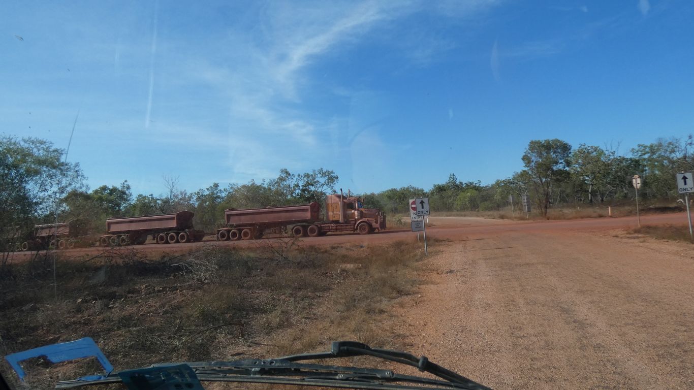
The signs made the crossing a tad confusing. The no entry sign just behind the up arrow with "only" really belonged on the haul road, not facing us. Faced with such ambiguity I stopped.
It stopped. We stopped. We moved. Straight ahead. It remained stopped.
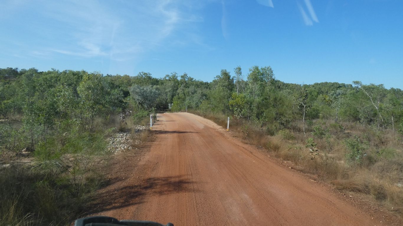
There's a sealed about 100km haul road from mine to the Bing Bong Creek Port Facility, through the national park and across Lorella Springs. A bit of controversy, it was almost complete before approval given.
Originally Western Desert Resources, they went into liquidation a few years ago. Currently a subsidiary of UK parent recovering low grade iron ore.
I suspect ultimately a bit marginal.
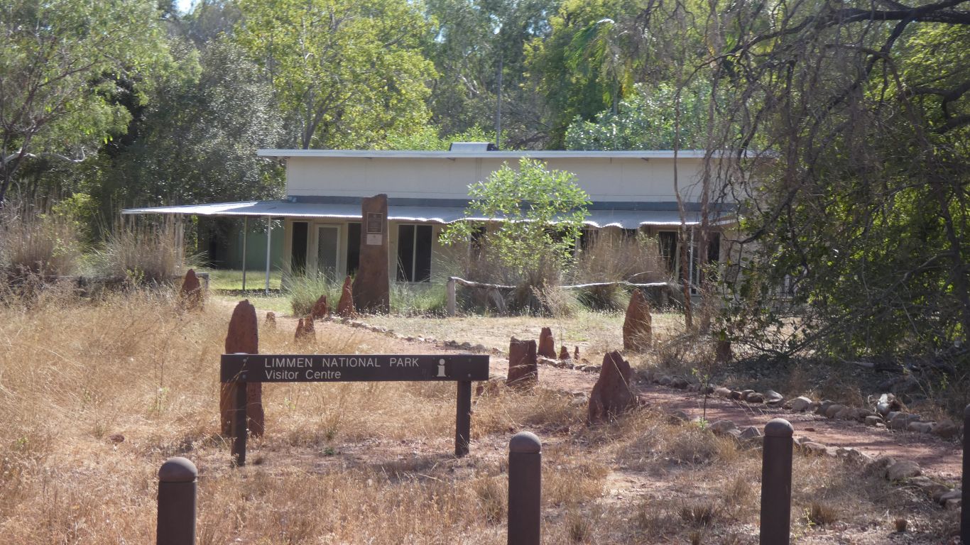
Information about the park, the area, the history of exploration and cattle stations.
And the all important combination for the padlocked entry gate to Western Lost City.
By chance the Ranger is present. Some useful info about the track and the park.
Its past lunch time and the drive is at least 2 hours each way.
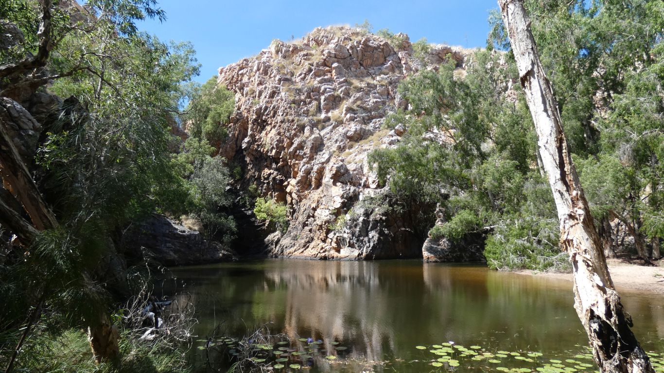
The falls are pleasant. Little flow. We decide against a swim.
The campground becomes full late in the afternoon but doesn't feel crowded.
An hour or so walking along the creek bed looking (successfully) for birds.
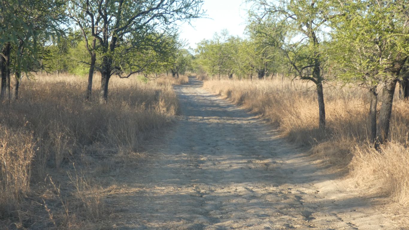
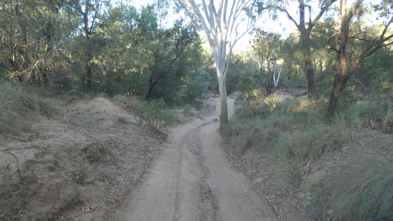
North from the campsite, retracing our steps for a few km, to the track entrance.
And windy.
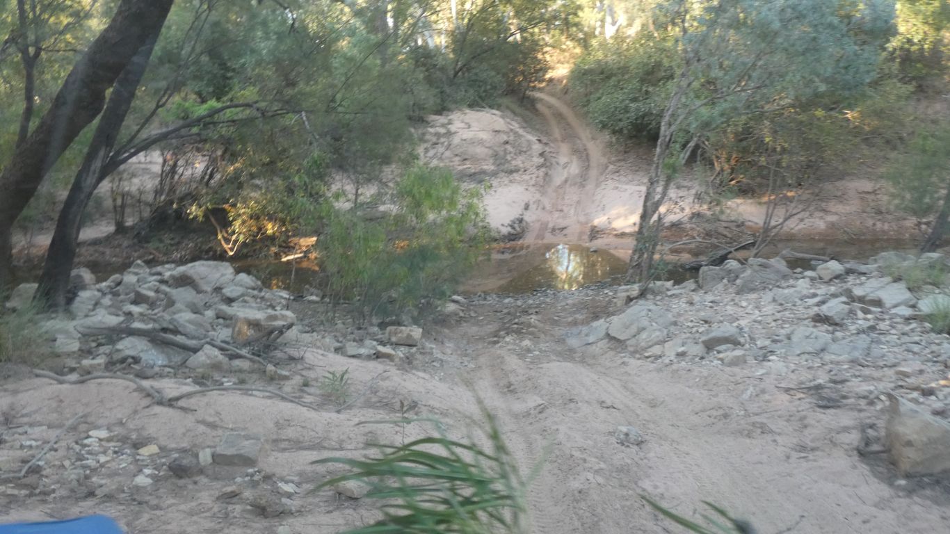
This innocuous looking one proved interesting. James the Ranger mentioned it as needing attention by the landcruisers.
Not easily seen, the left wheel rut is higher than the right, and there's hard sand forming a wall on the left before descending to cross a small creek.
The front wheels must be turned to avoid the sand wall before the rear wheels have passed the tree.
Our height means the top of the truck will be pushed into the tree.
Careful alignment, low range 1st gear, we crawl past on the second attempt. Just kissing the tree.
The return is much easier, the front wheels could be held straight until the rear had passed the tree, though nevertheless just kissing again.
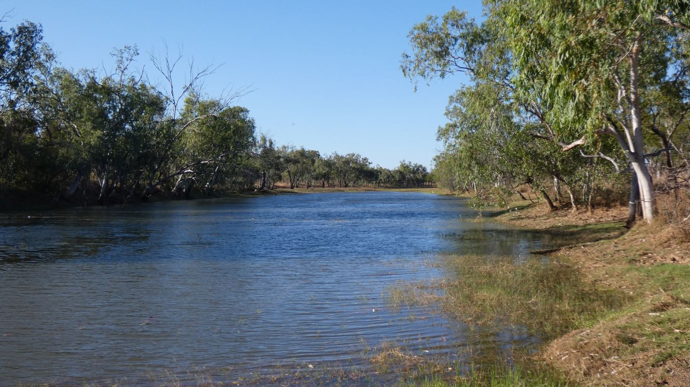
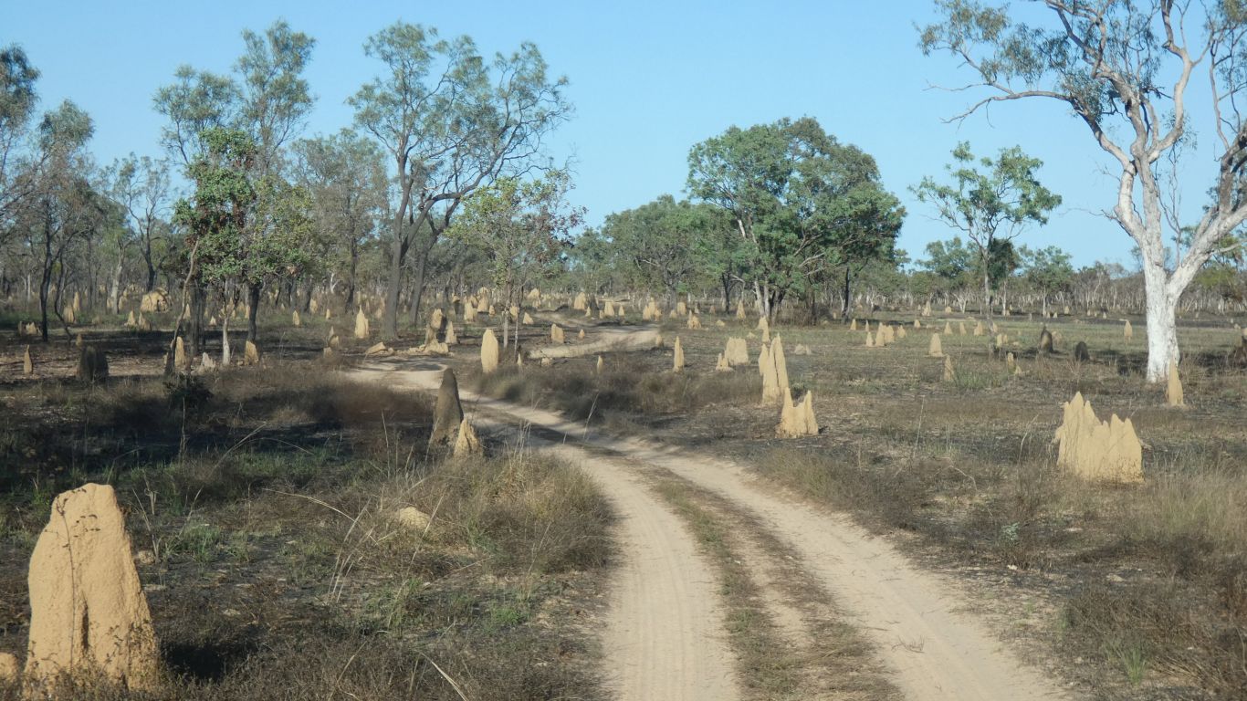
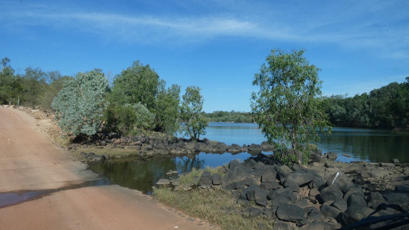
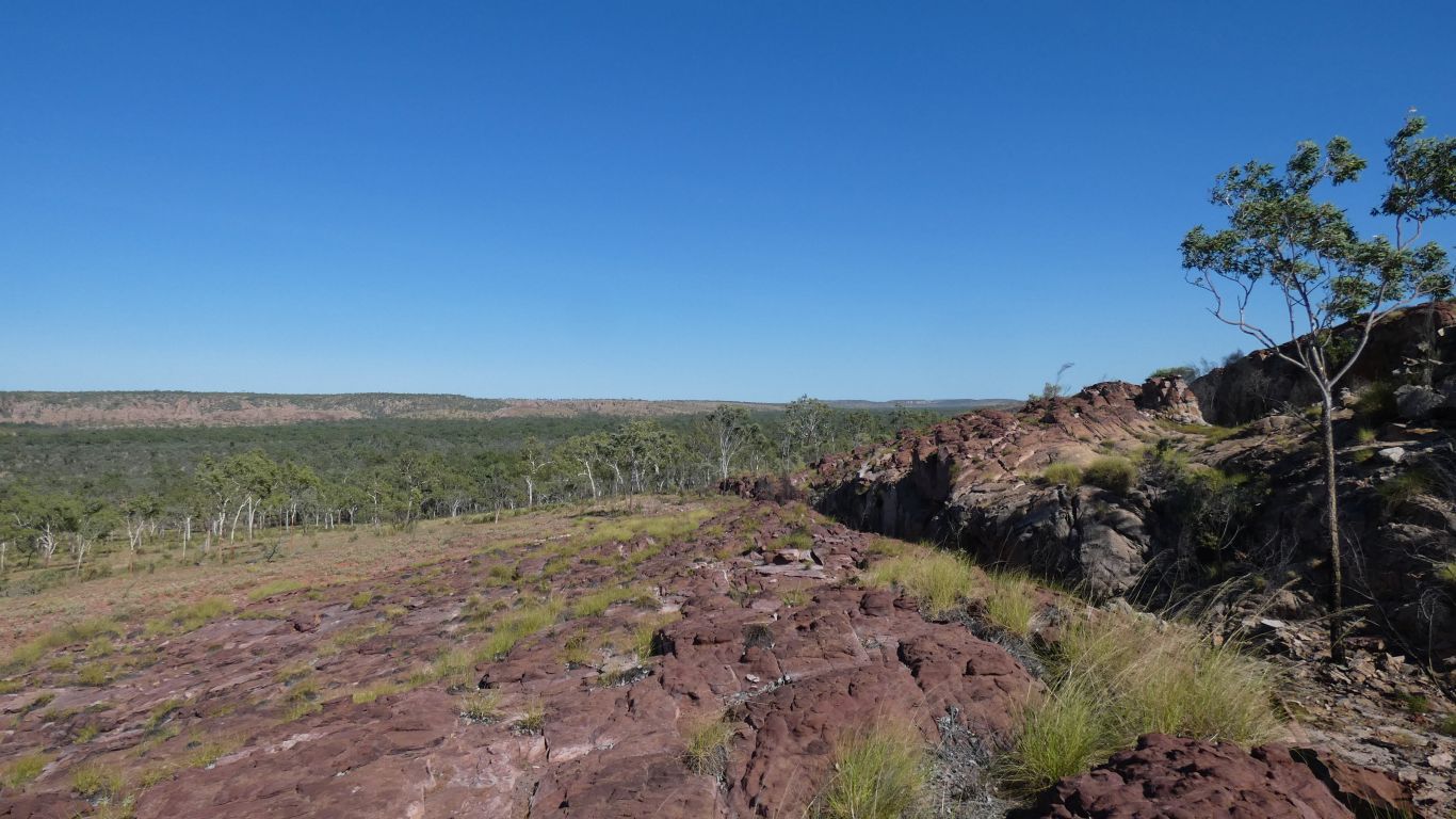
There is a string of billabongs, murky ones disturbed by animals, from here south, alongside the track.
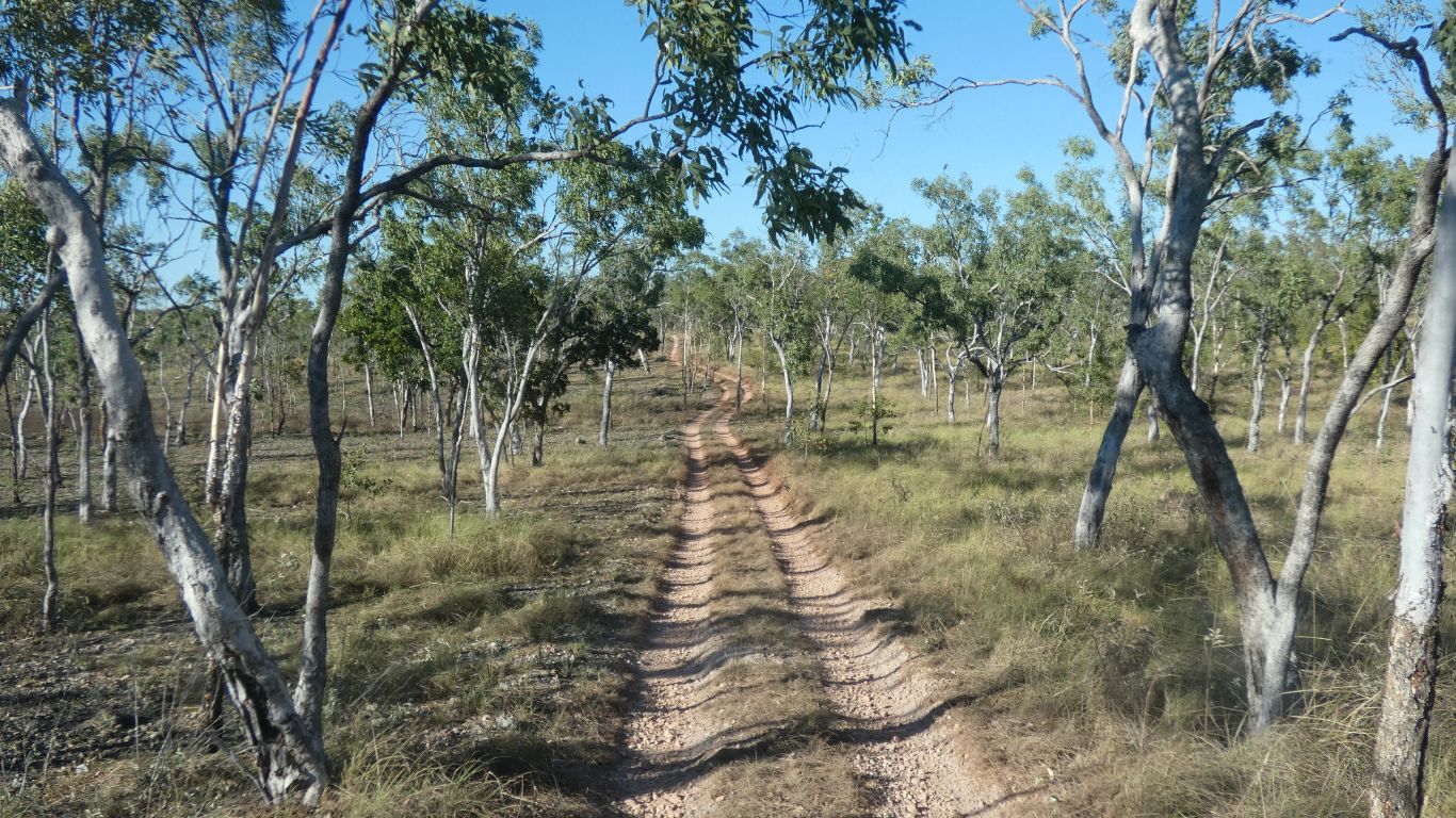
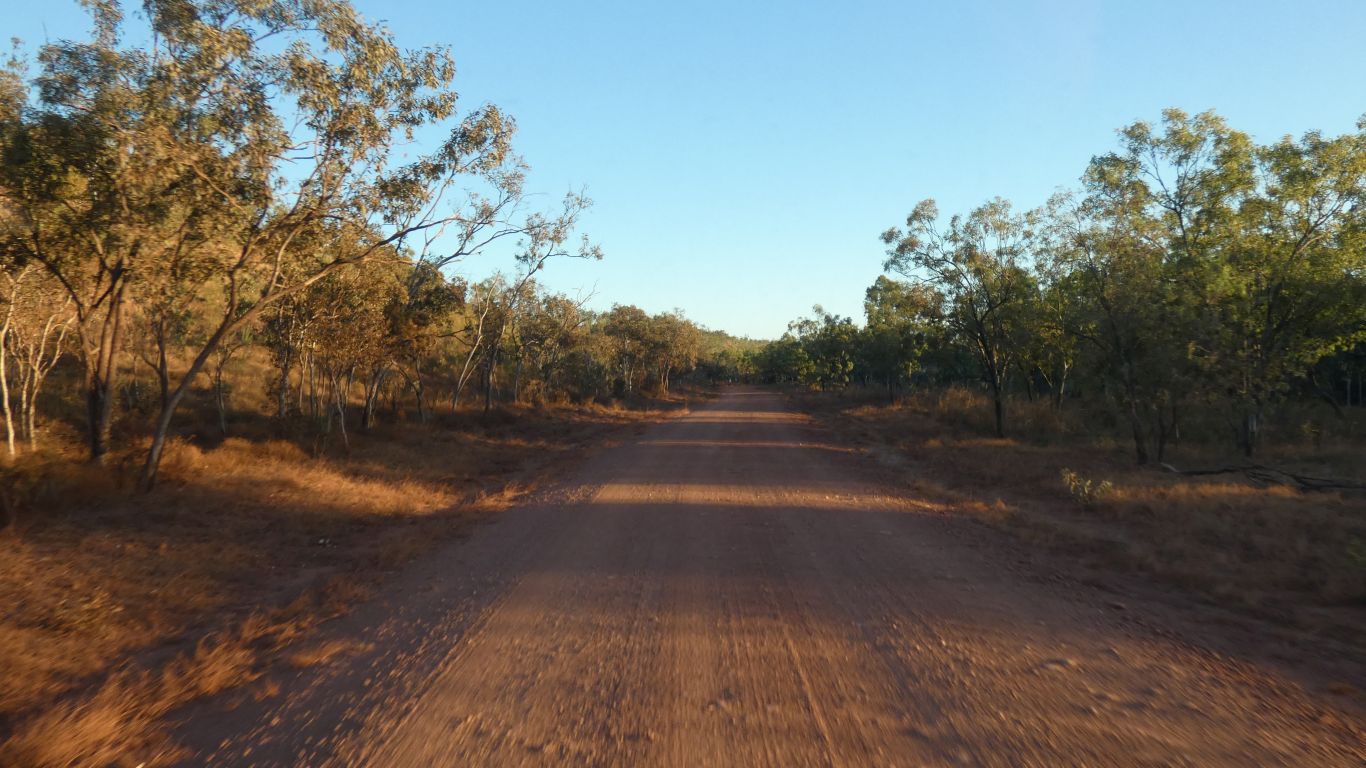
The track is just a little stony. A bit of a ridge between creeks. No longer on the black soil plain.
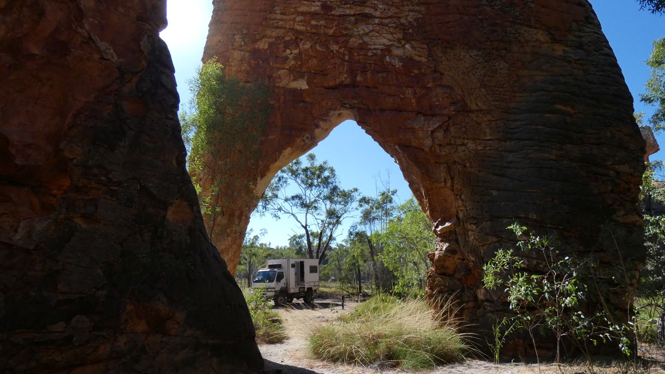
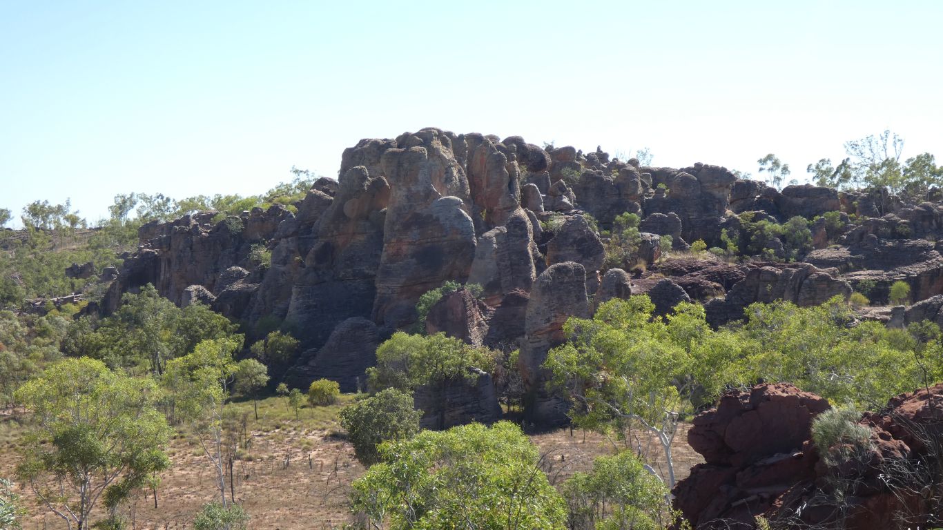
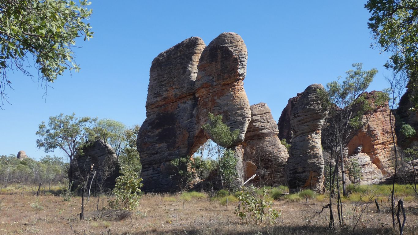
The pic taken from within a giant couldron.
Though someone has probably tried.
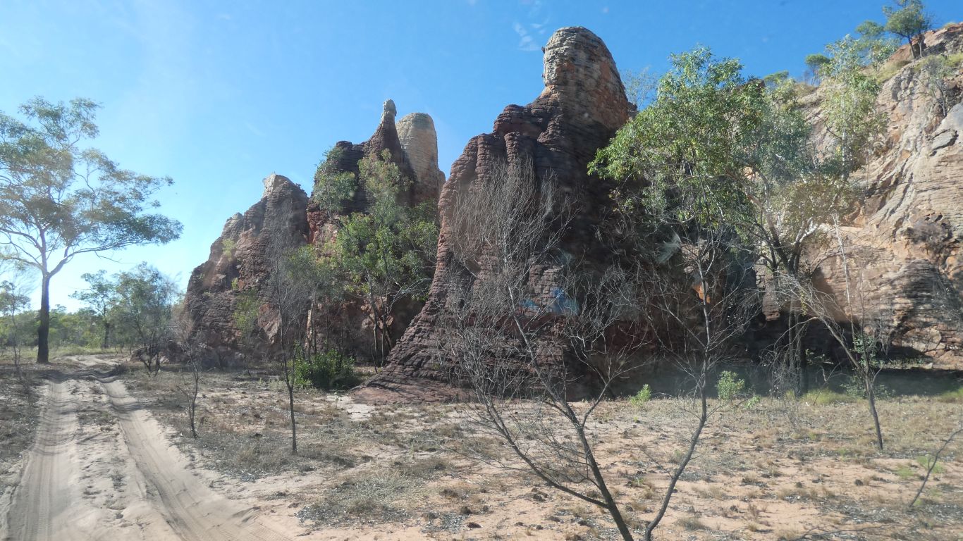
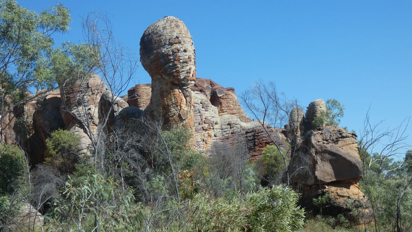
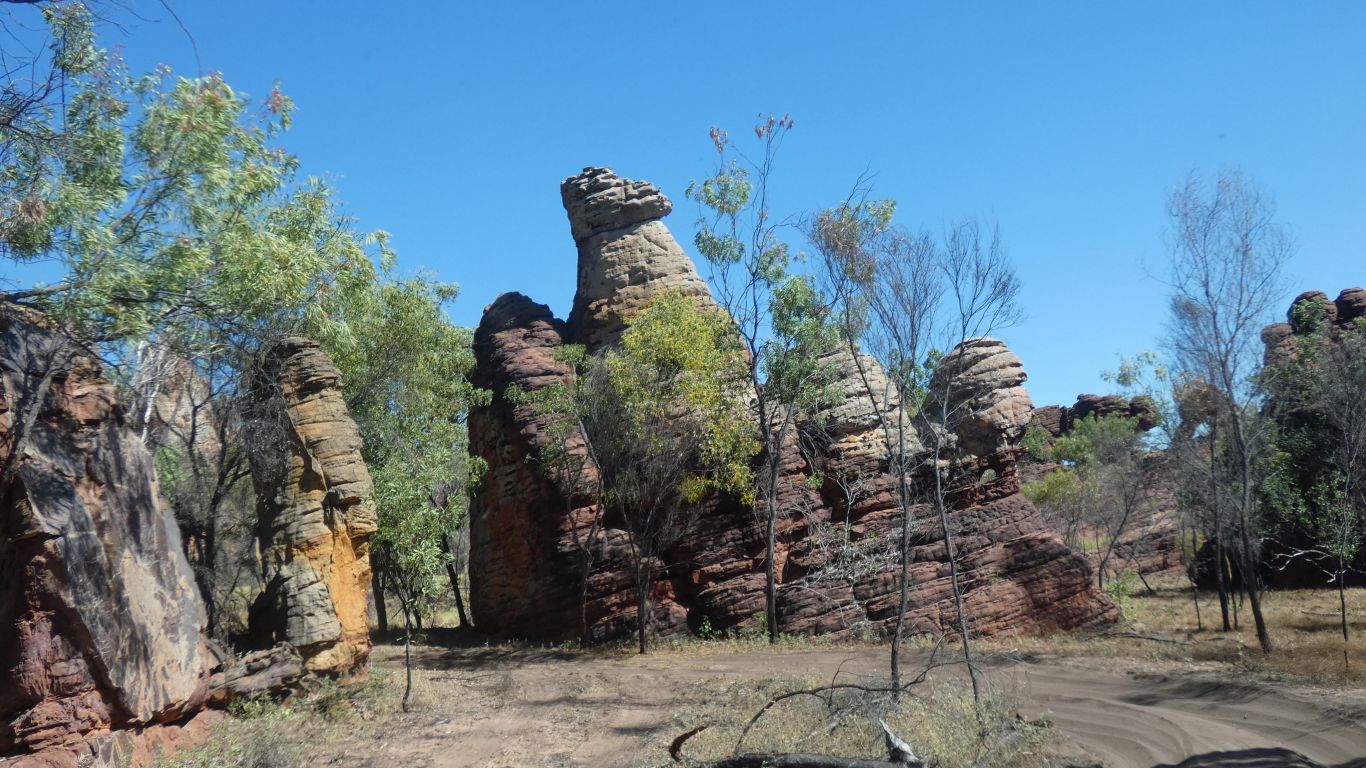
Like something out of Easter Island.
Half covered by sand.
What was sand, that became sandstone, erodes to sand again, in a never ending cycle, over billions of years.
Leaning a bit.
Like being back stage at a performance. Or looking down on the suburbs from a business district.
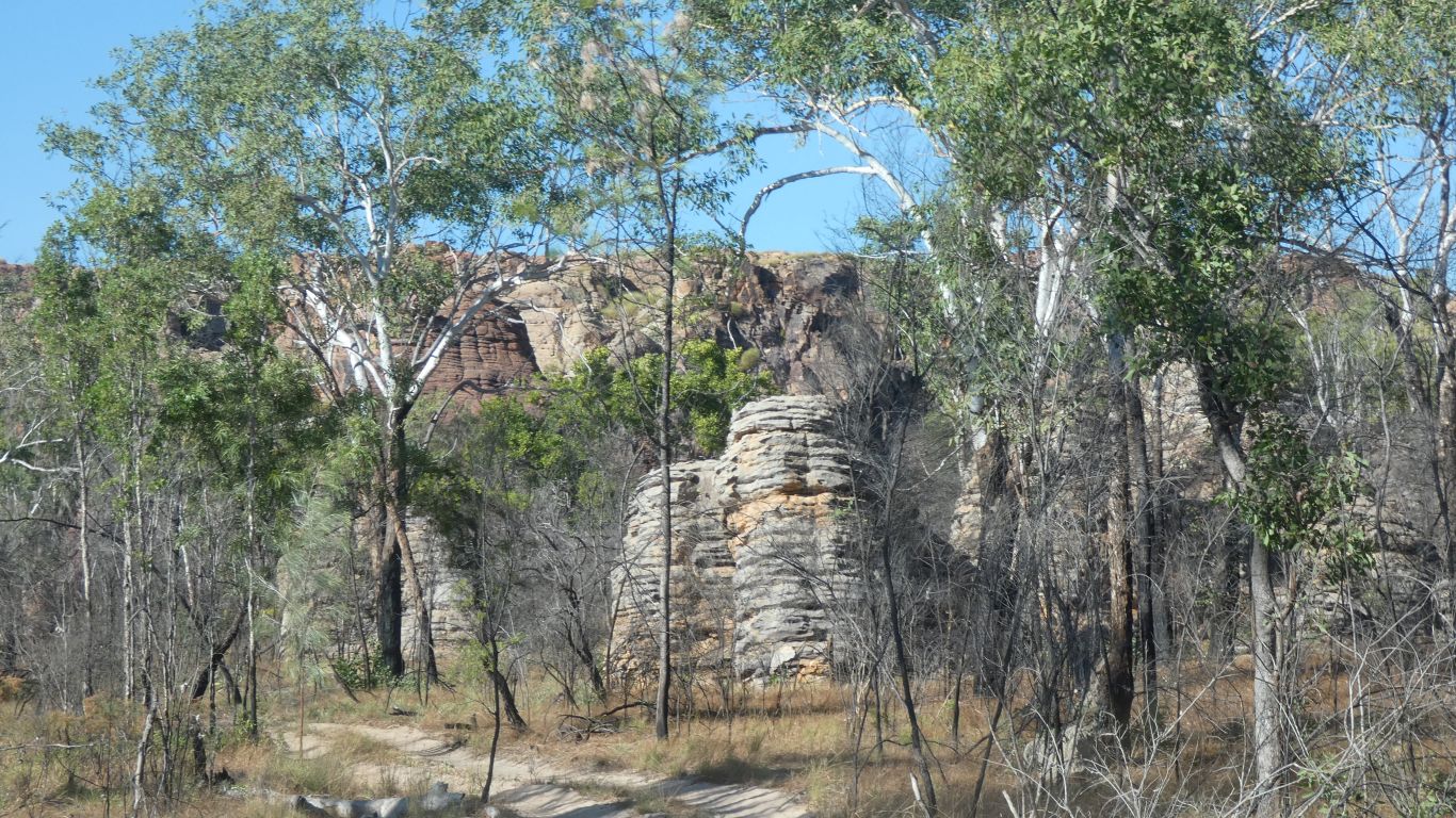
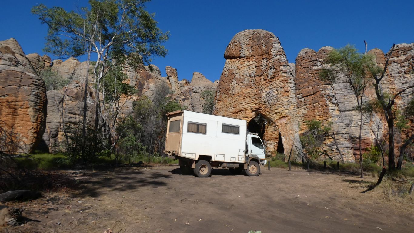
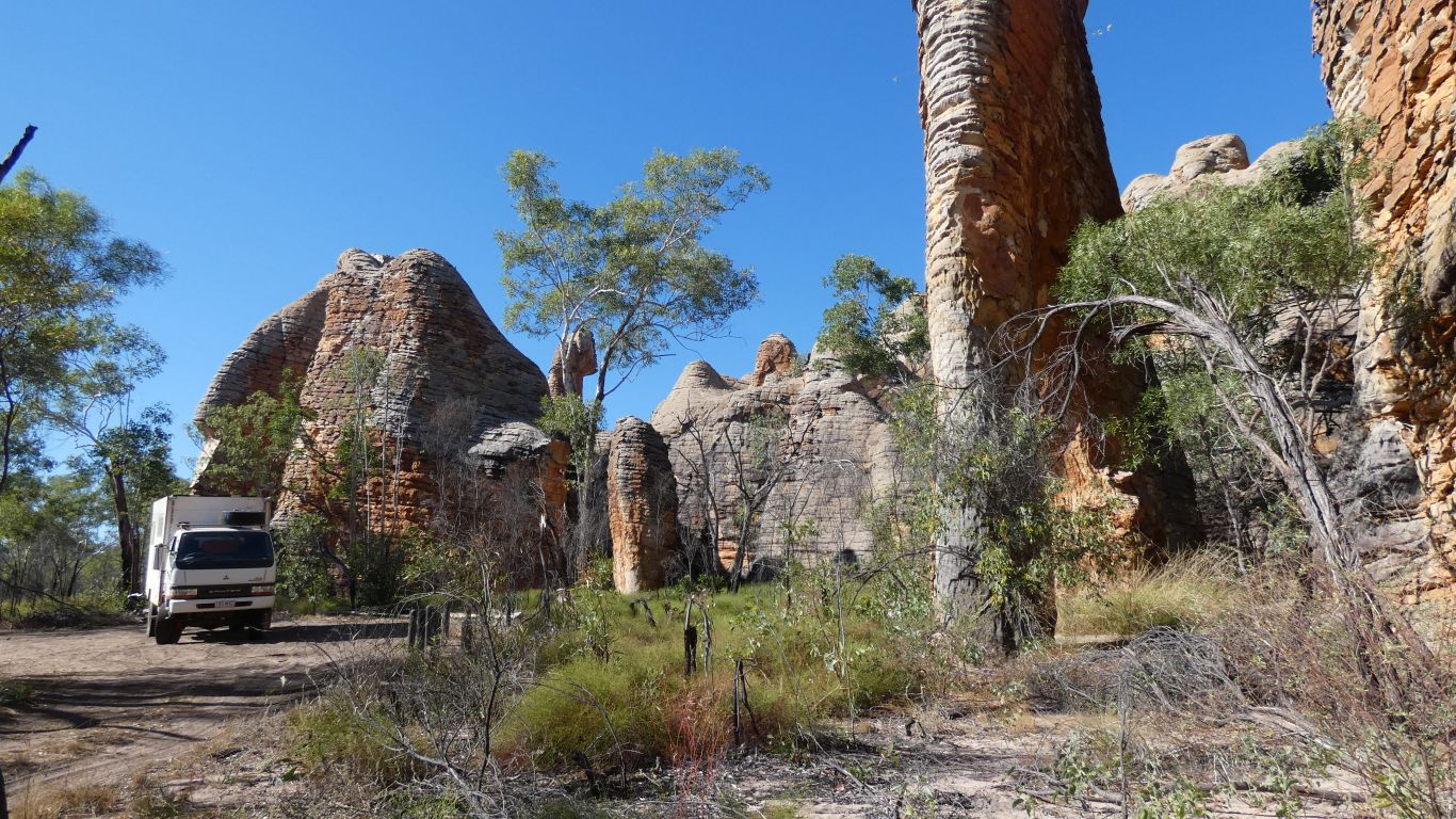
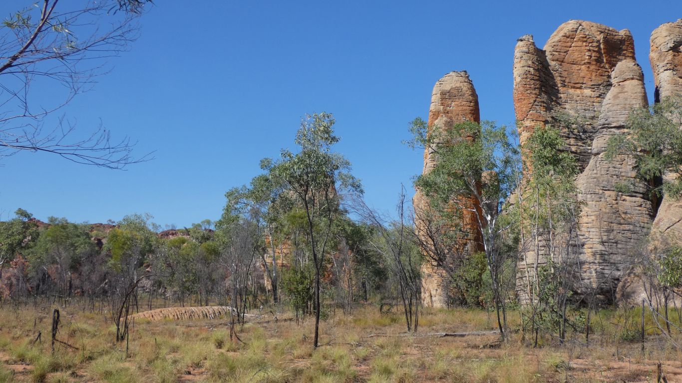
We form an impression of valleys surrounded by rounded hills, some of which have eroded to form lost cities.
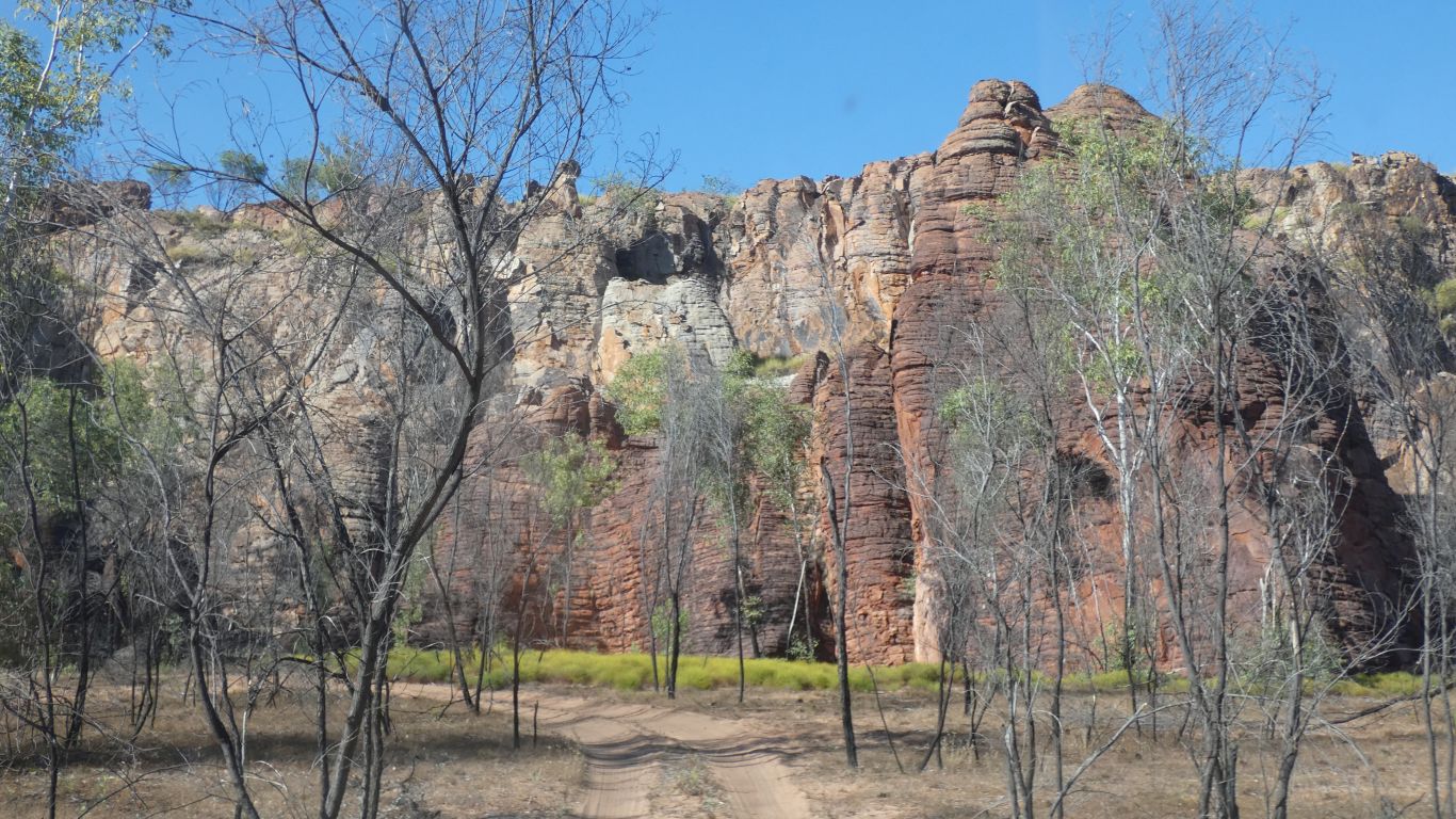
This stands like a northern sentinel to the wide entrance.
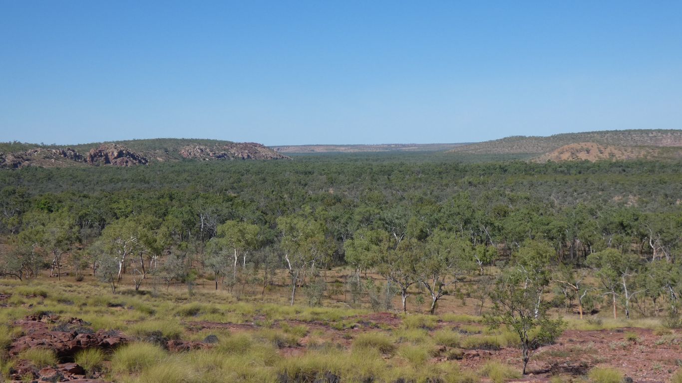
Its as if our track has followed a valley into an end.
We are not usually given to flights of fancy. Our imaginations don't seem to work that way.
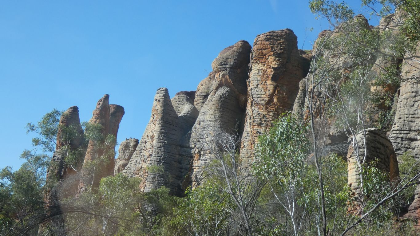
But we can't help seeing camels. One standing. One sitting, as if waiting for a passenger to take on some magical mystery tour.
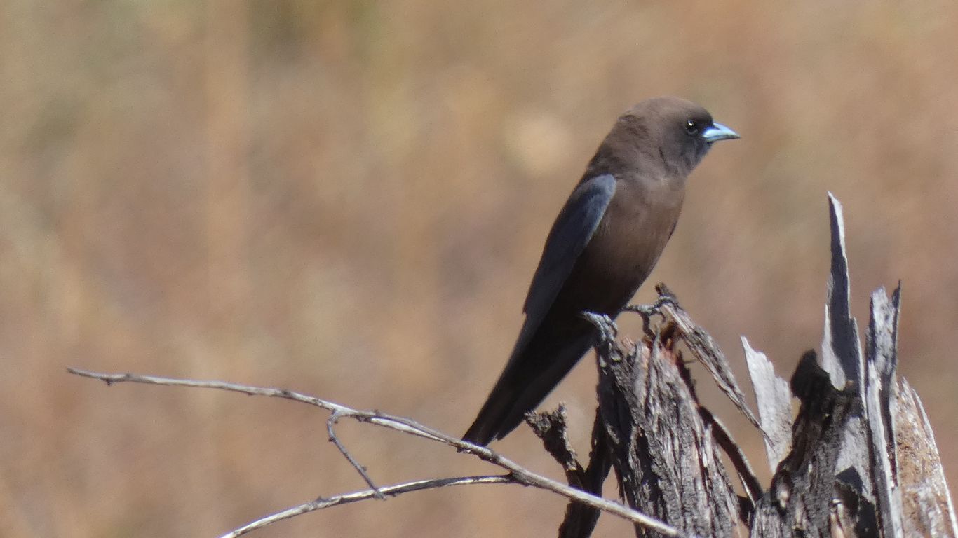
But then again. They don't behave like honeyeaters. More like flycatchers. And their wings are similar shape to bee-eaters. They even return to the same spot after a bit of flycatching.
They are the same as we saw at Malaplains near Darwin. We mis-identified them there.
Back to the bird book ...
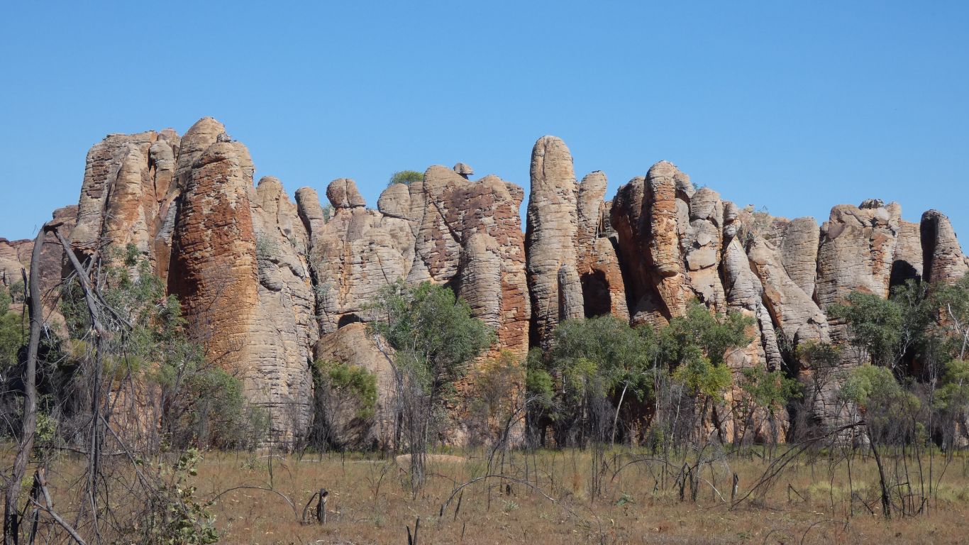
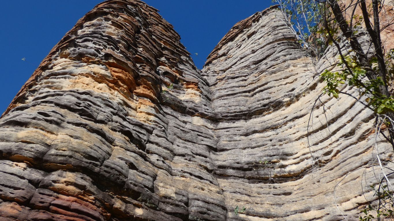
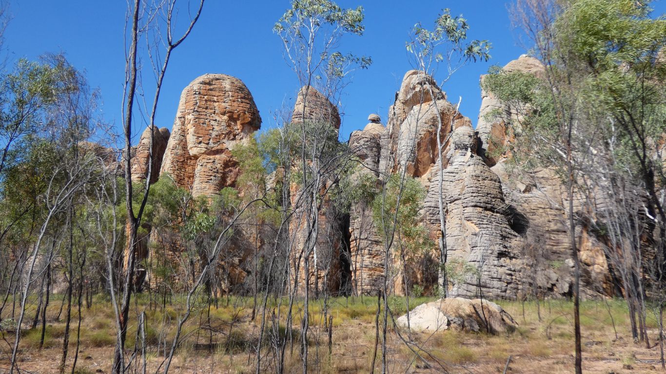
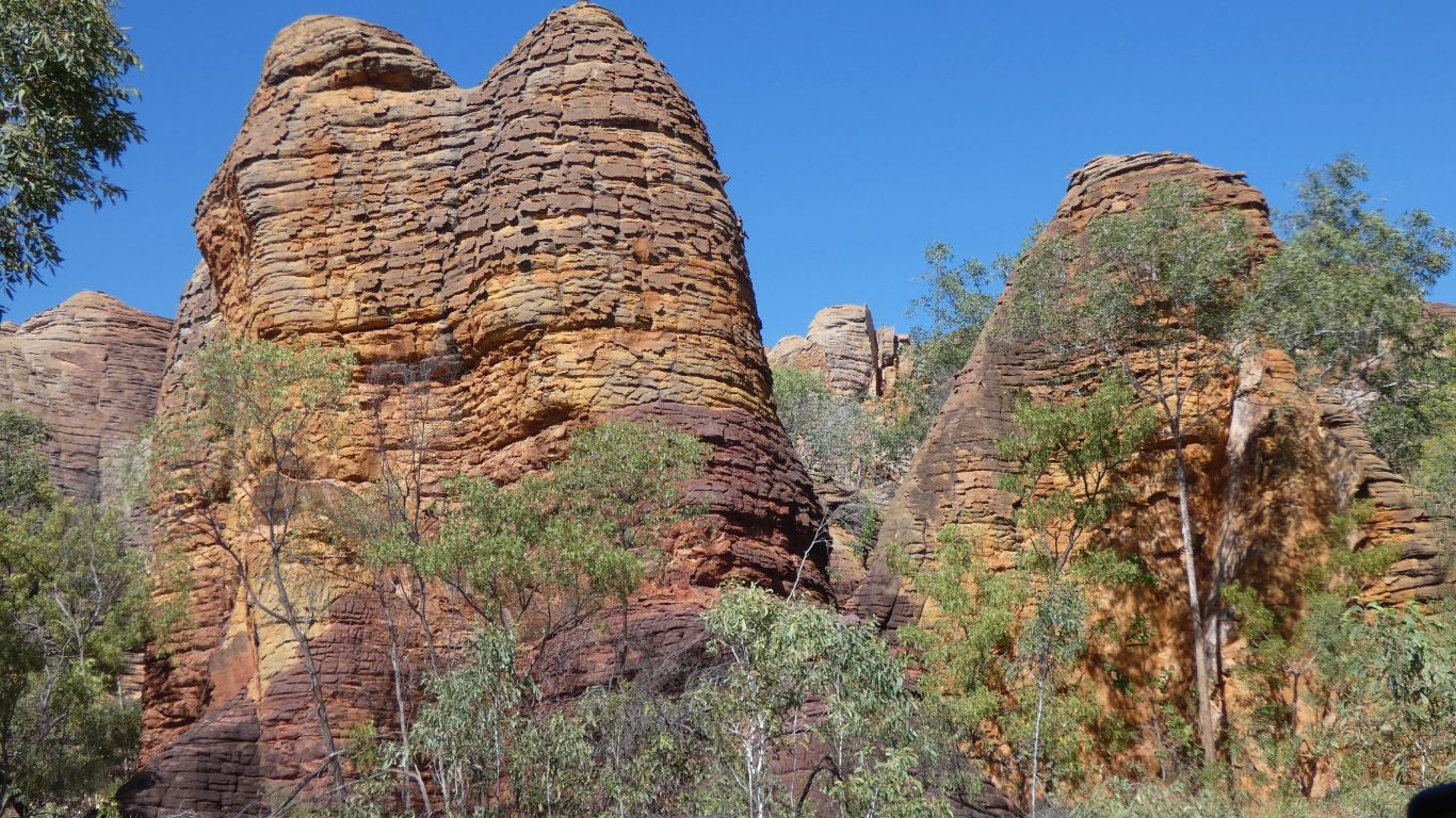
We see tall thin pillars rather than short fat domes.
The horizontal bands are not as pronounced as domes in the bungles.
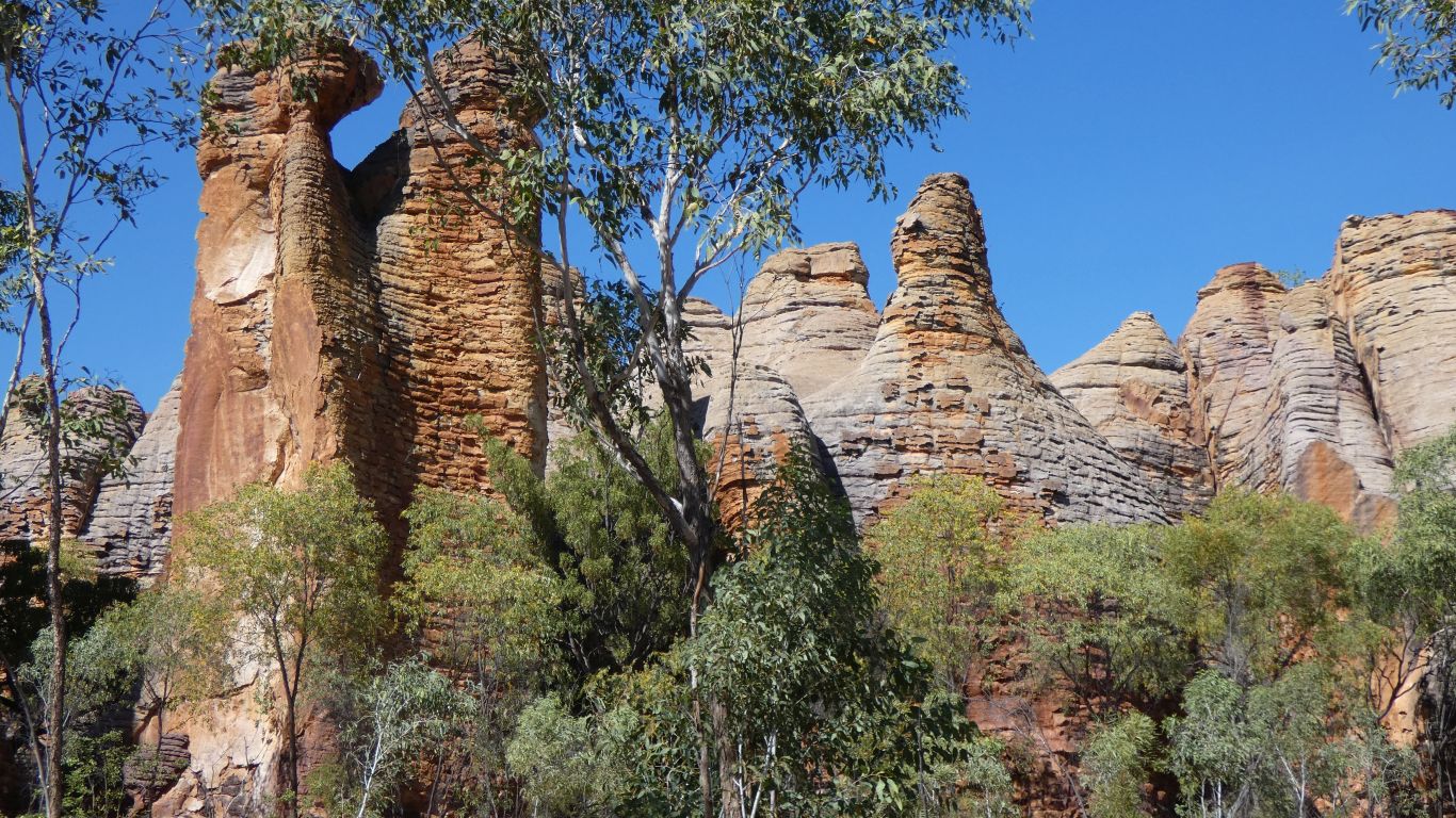
We guess, for that is all we really do, that the cupola formed with successive layers of differing hardness.
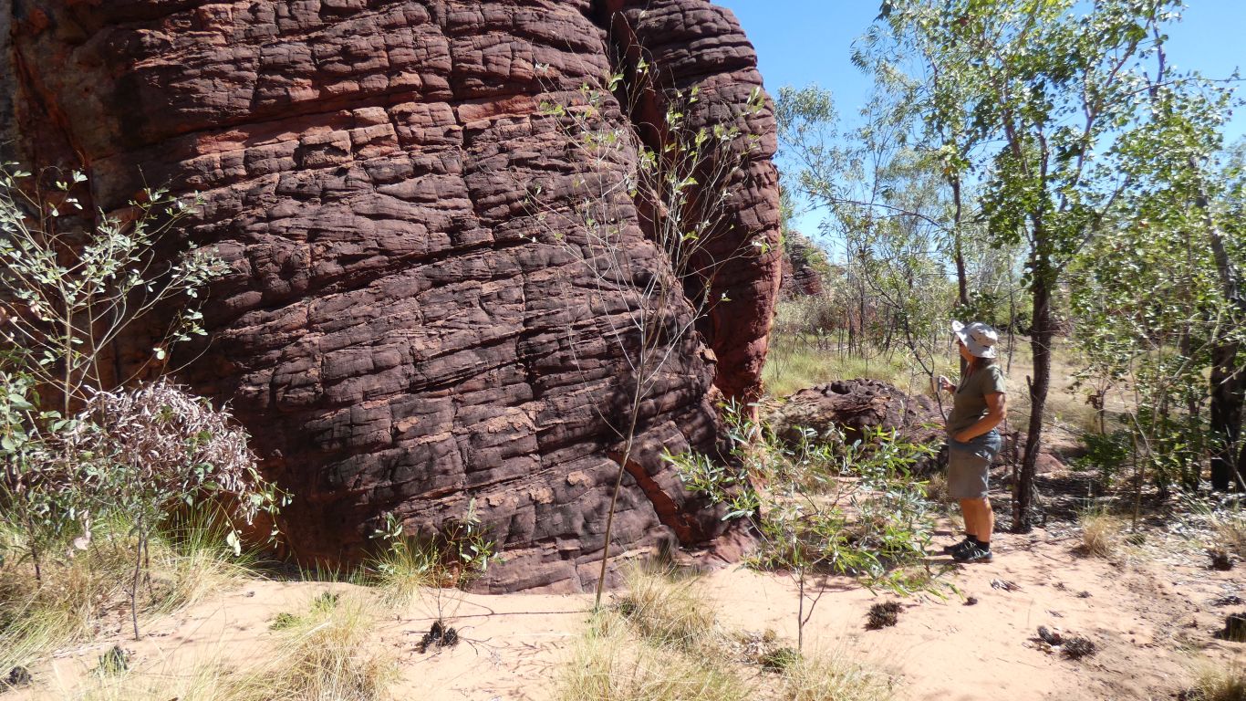
We find the area fascinating.
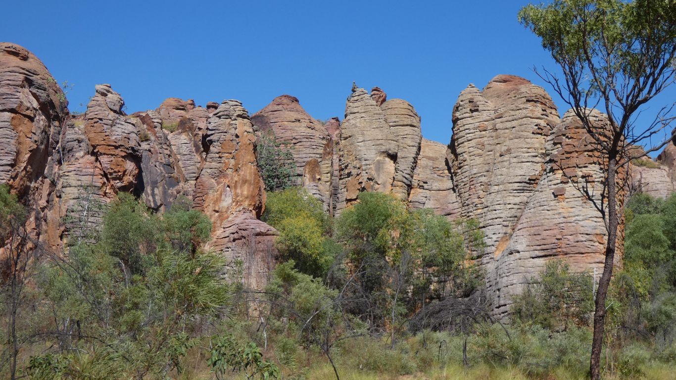
Giant guardians, huddled together.
We've watched too many Doctor Who episodes.
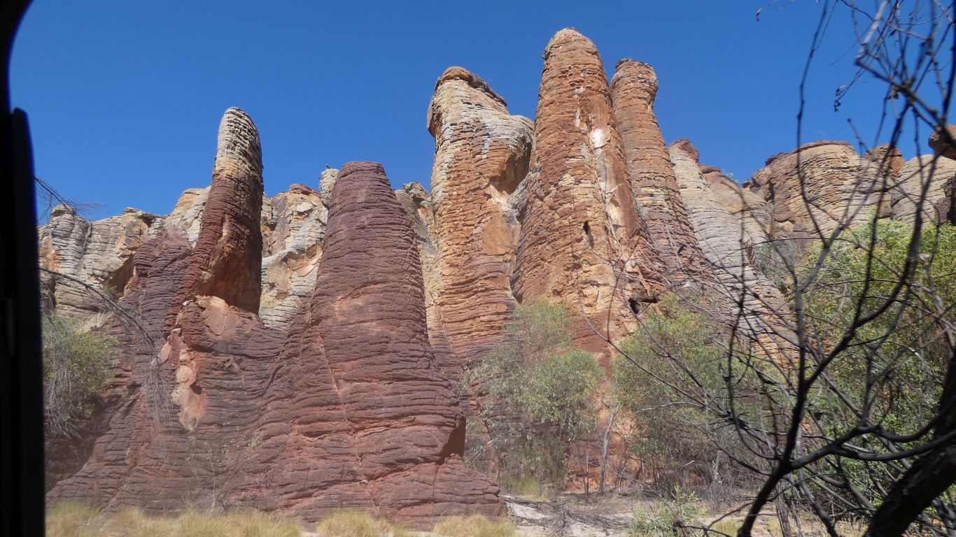
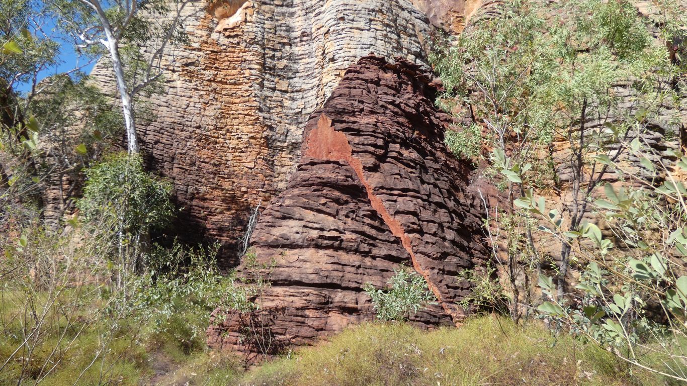
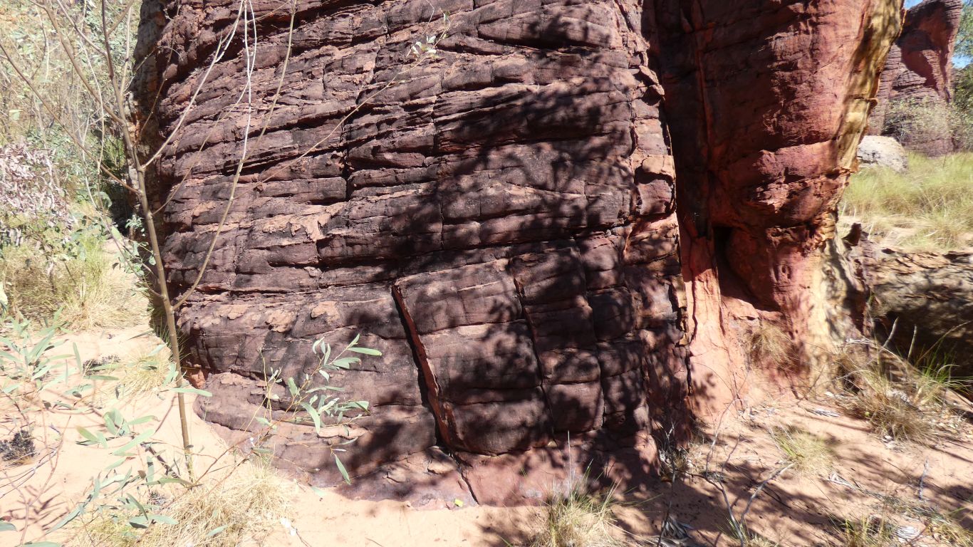
The science suggests the formations are created by water dissolving the matrix of silica that holds quartz grains together as sandstone. It dissolves as it flows down the cracks caused by deformation from below.
As well as silica the water dissolves iron, perhaps manganese, perhaps other, minerals. Leached from the top levels, leaving them lighter, the minerals are precipitated in lower layers where temperature and pressure are different, leaving them darker.
We surrendered to the inevitable. After a cup of coffee we planned our escape.
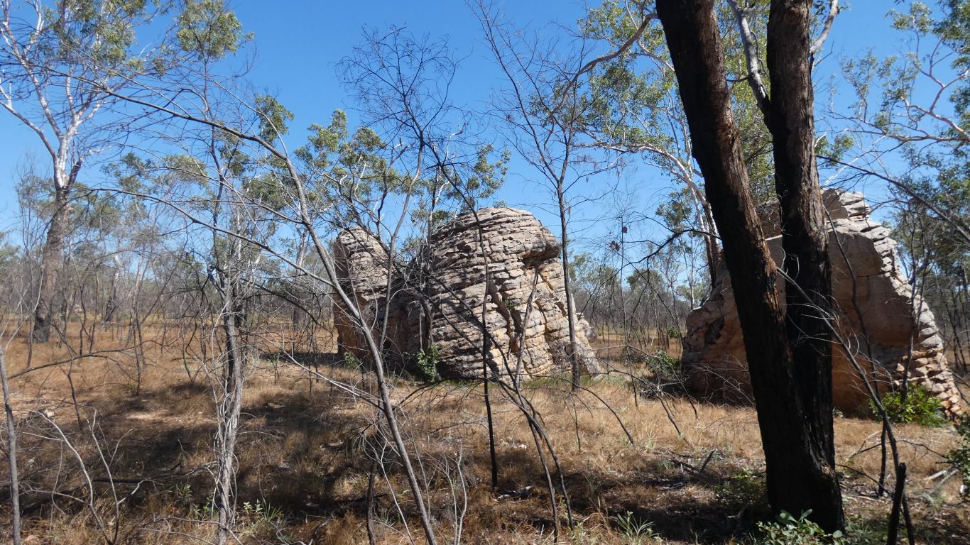
Remnants of how the erosion works its way from the surrounds, at the edges, towards the core of the big rounded hill.
In other places we would simply see cliffs, escarpment, and waterfalls.
Here, nature took a different course.
We remembered to look on the way out.
And there they are.
Very clear. Though upside down.
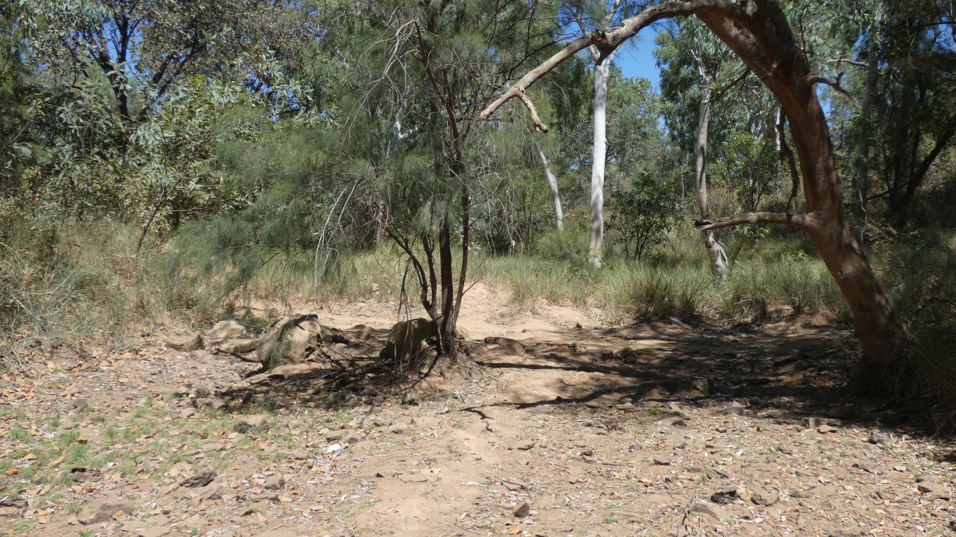
The track crosses the creek just beyond the tree.
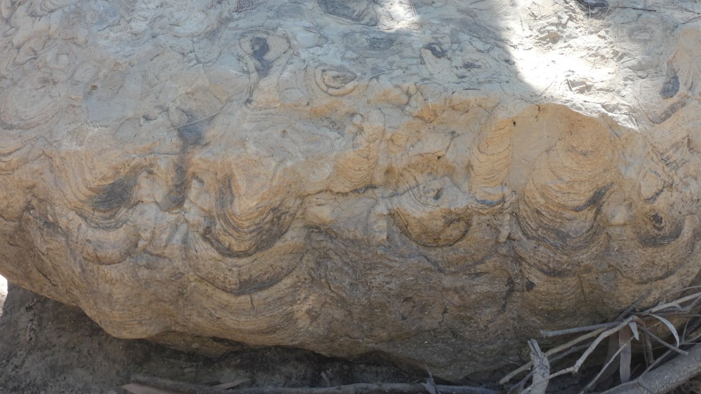
We walk a little upstream in the dry creek bed. The rocks had to come from somewhere.
But alas. After two hours driving in, and nearly another two driving out, we have little energy remaining for further exploration.
As well as stromatolites the rock in the creek beds is different to the general sandstone. Perhaps worn through to whatever pushed the landscape up.