
We set off on our return to Brisbane late January.
Mt Werong again, its just the right distance for a first day. Then a day trip to Yerranderie. An old silver mining town.
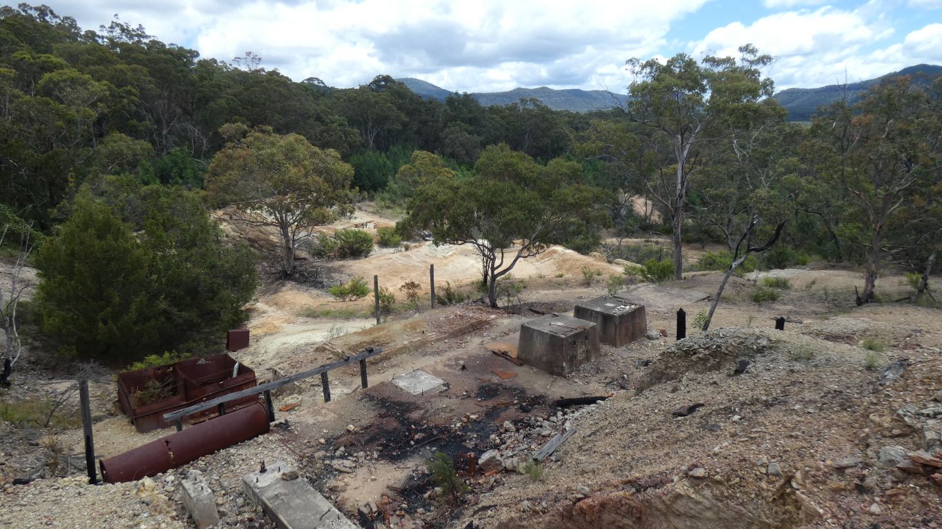
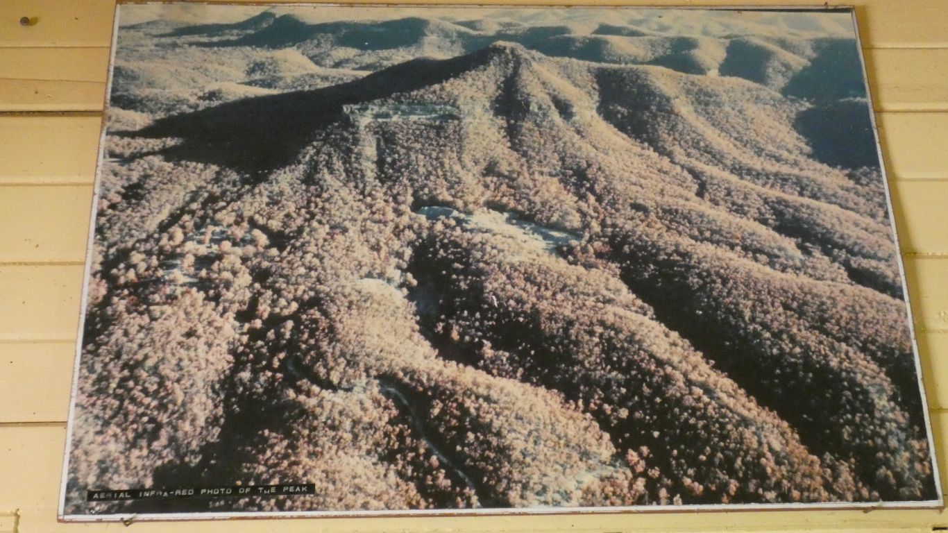
The biggest mine was Silver Peak (or The Bore Block). The town population 2,000. But closed in 1928 - econmics and industrial unrest.
As we approached it we could see the heap of discarded rock and begin to appreciate the size.
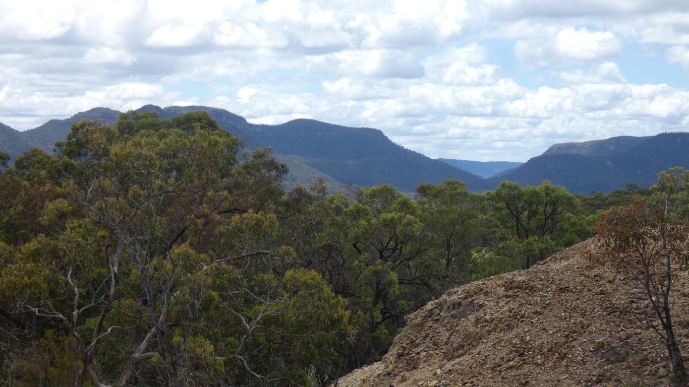
And only 80km from Sydney in a straight line.
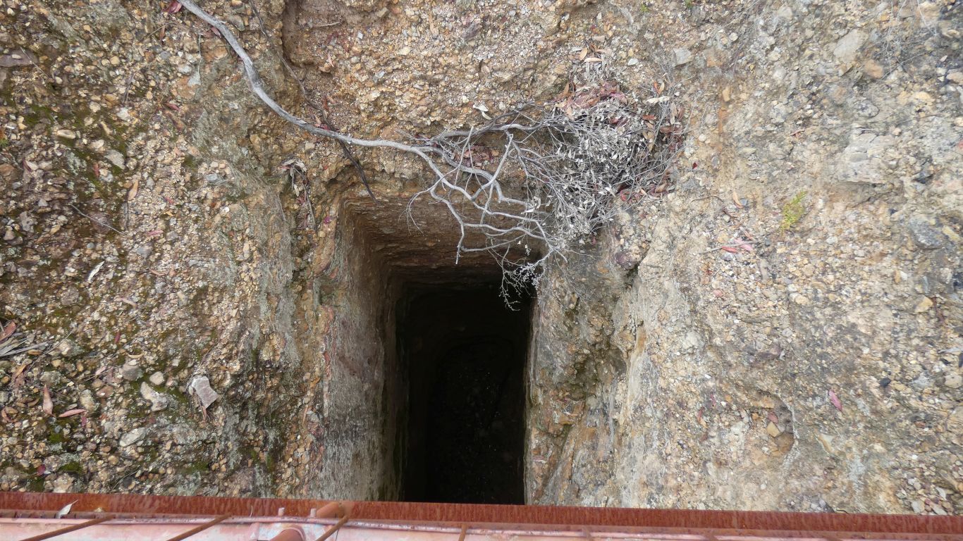
It seems the safety brake on the winch used to raise and lower people and ore was developed at this mine.
A 4m thick seam, in 40m yielded 20 tons of silver, 1700 tons of lead, and 563 oz of gold. A rich mine.
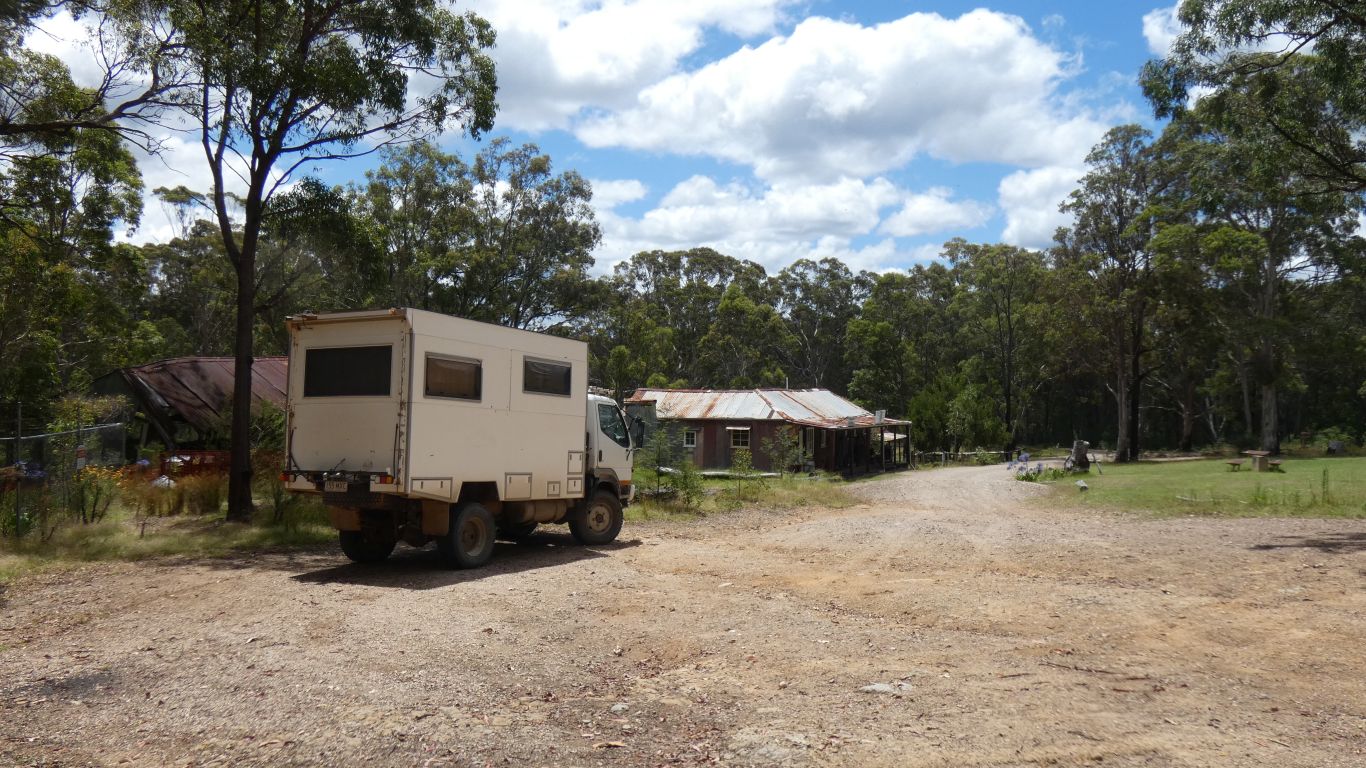
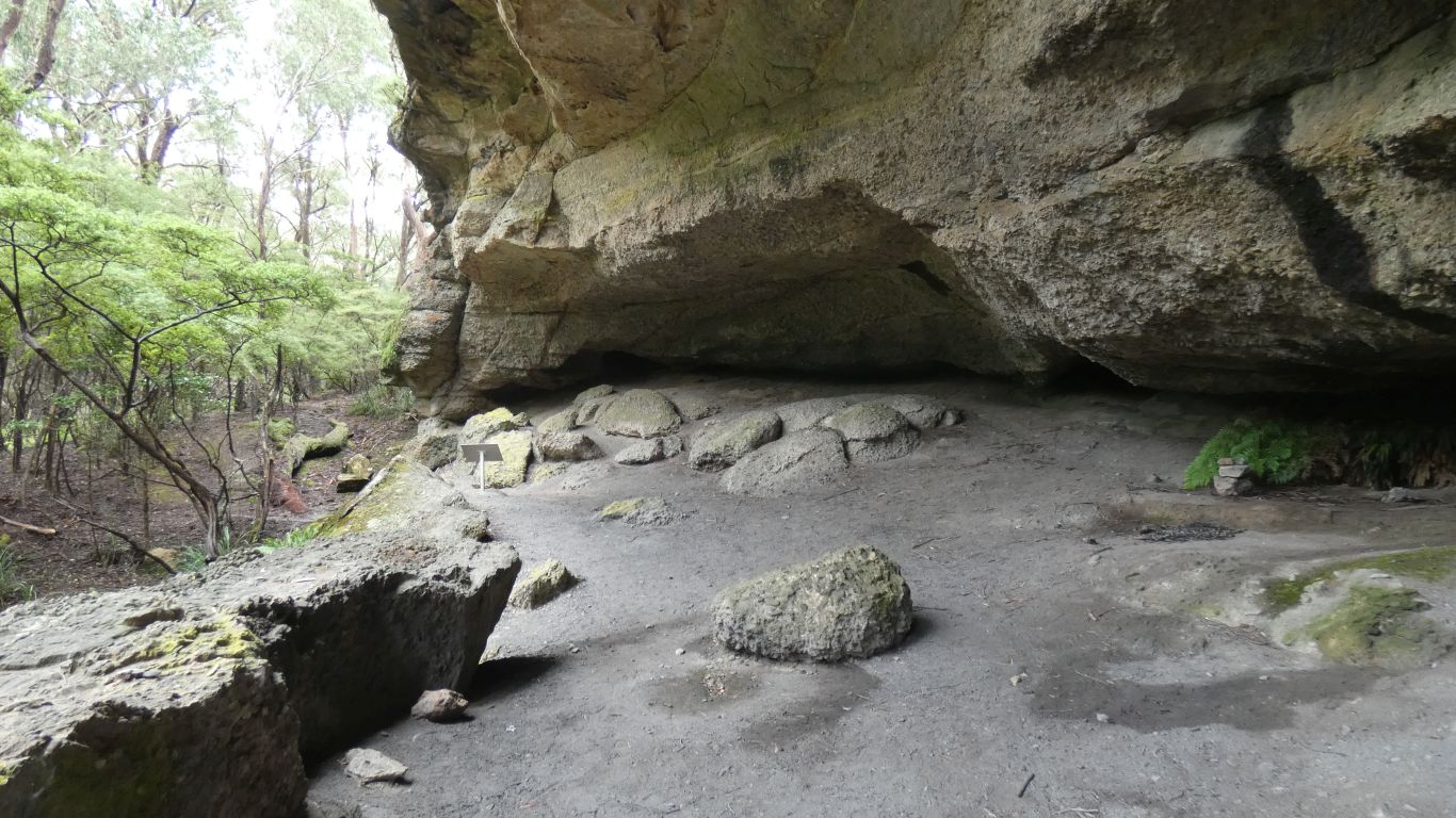
The building beyond the truck is the museum, and ablutions for campsite.
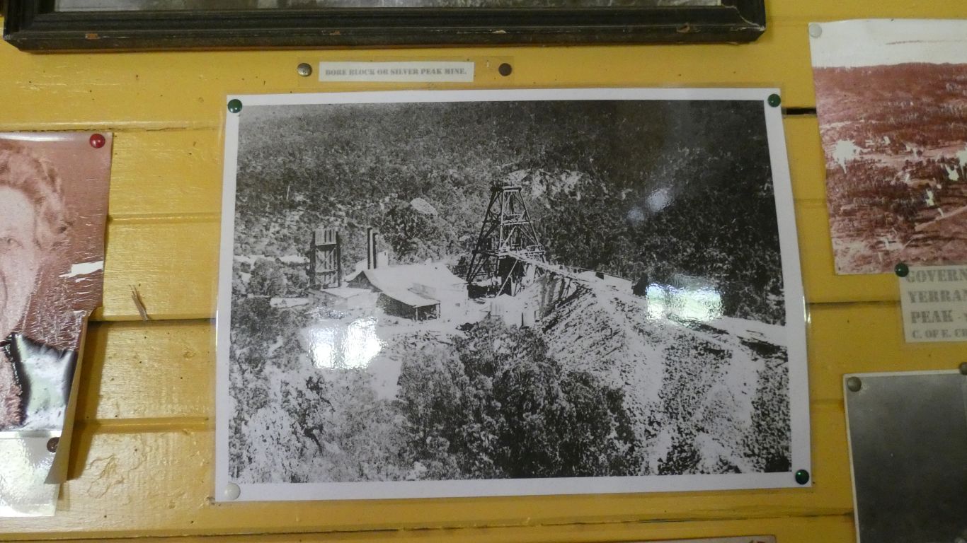
Underground it reached 450m.
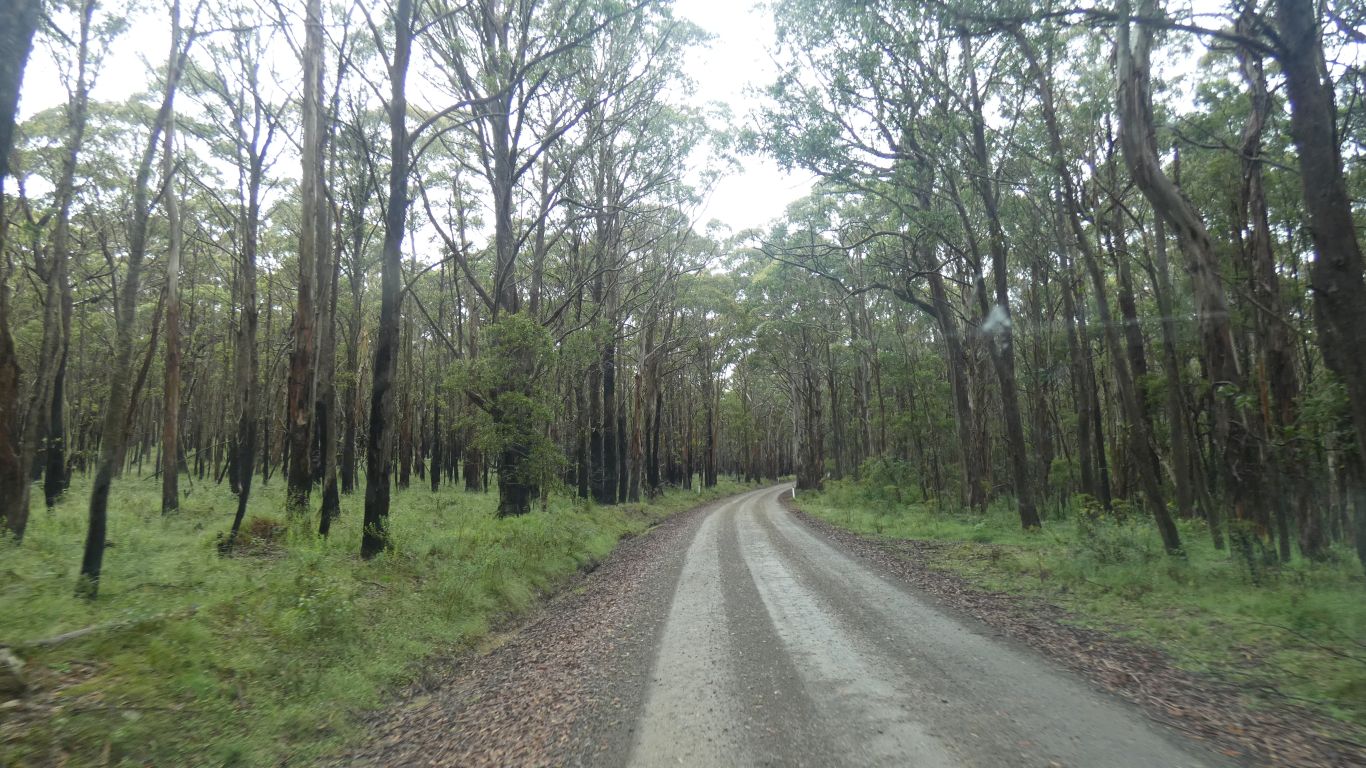
A bit of advice about "Dingo Dell Firetrail" - probably not a good idea. We'll take the long way round to Kanangra Walls tomorrow.
Over the years we have become used to such roads. This wasn't particularly challenging, and we are well supplied.
Our slowness was due to the surface, stony with potholes and lots of small washouts, plus bends. The steep grades simply steep. A little bit of water, the road damp, but not slippery today. The drop offs protected by forest.
Acutely aware of what may be soft edges. Particularly if oncoming traffic misjudges the conditions.
But all good, a handful of 4wd and a couple of groups of motorcyclists.
Then south to Boyd River Campsite and Kanangra Walls.
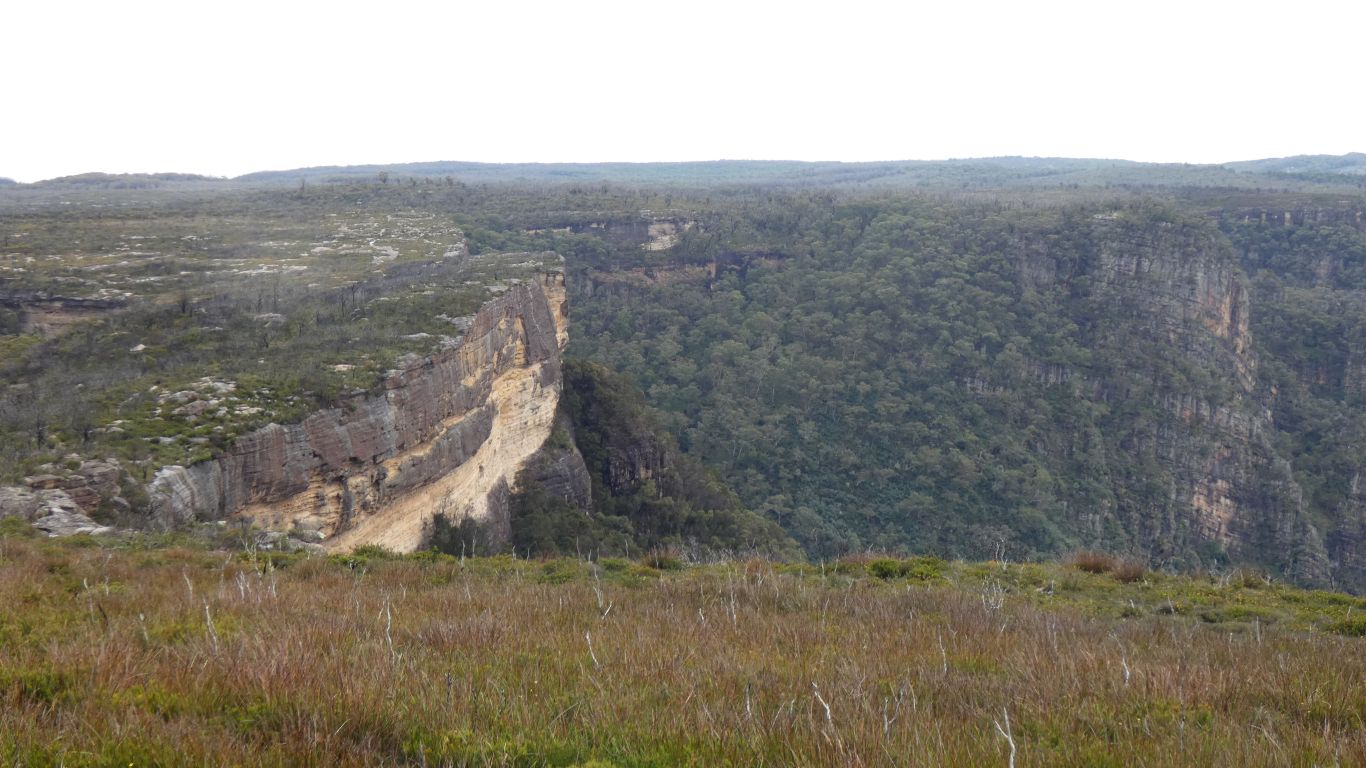
The Blue Mountains are sedimentary. Pushed up by volcanic activity.
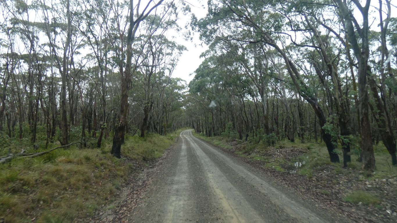
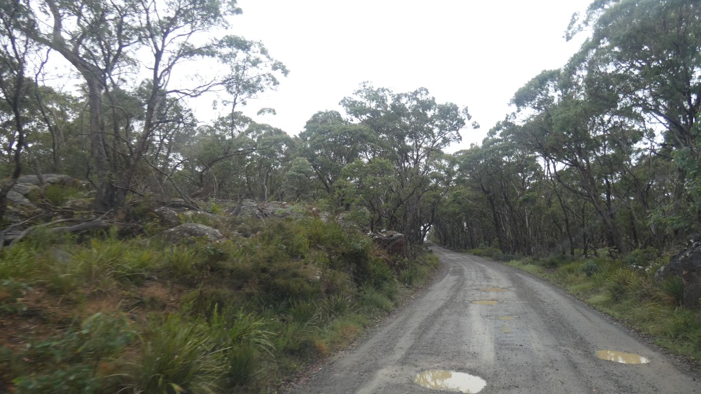
The potholes were frequent, and to be avoided as some were deep.
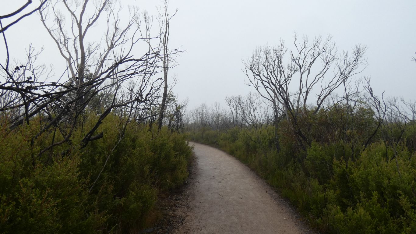
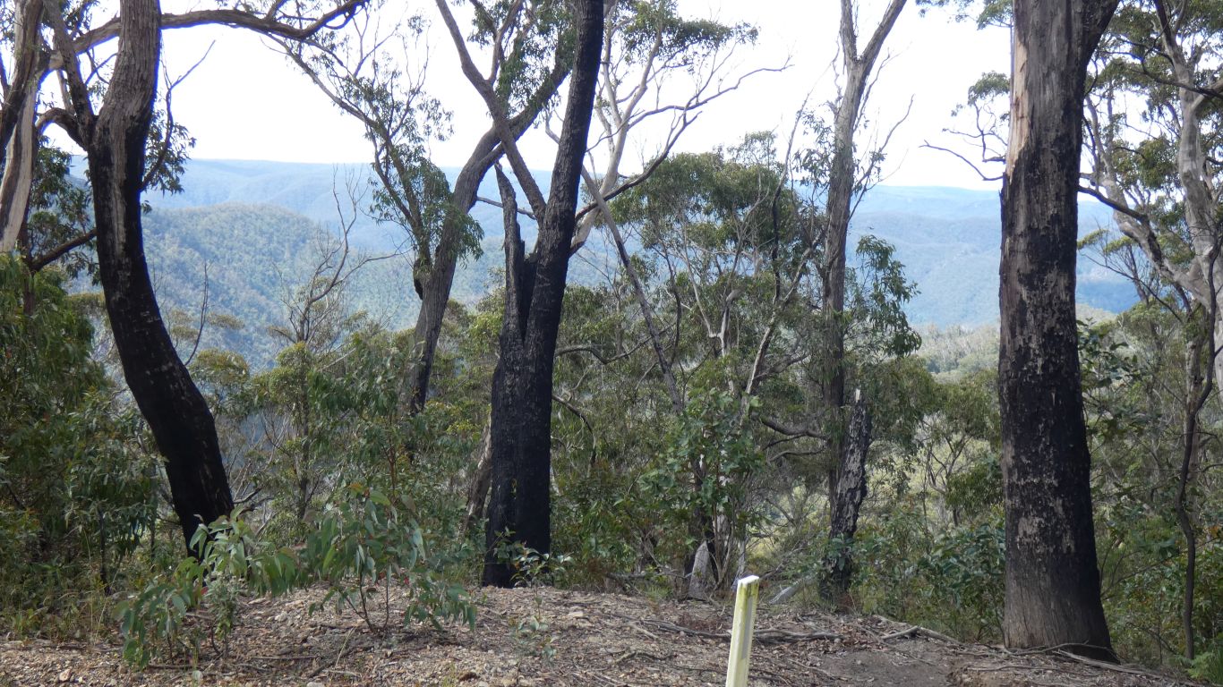
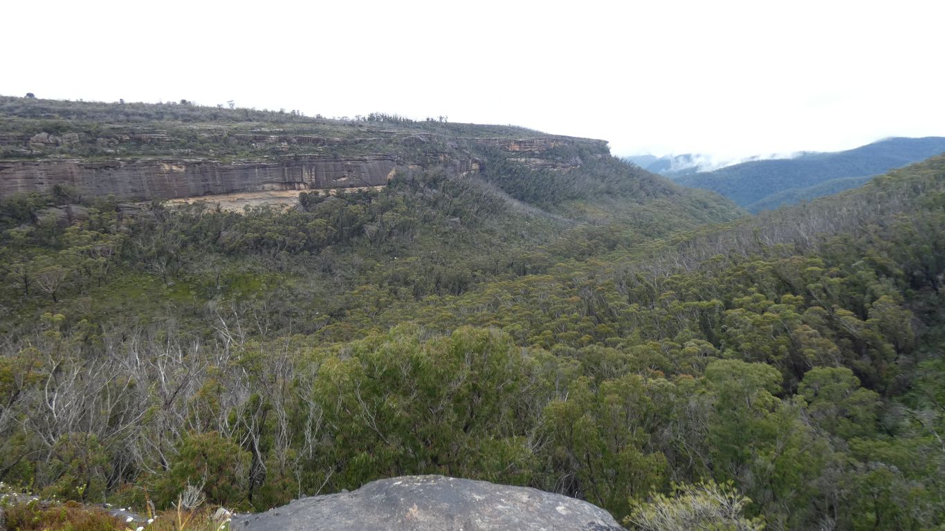
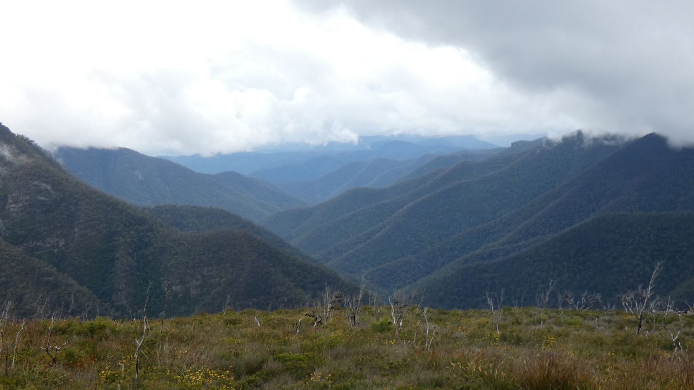
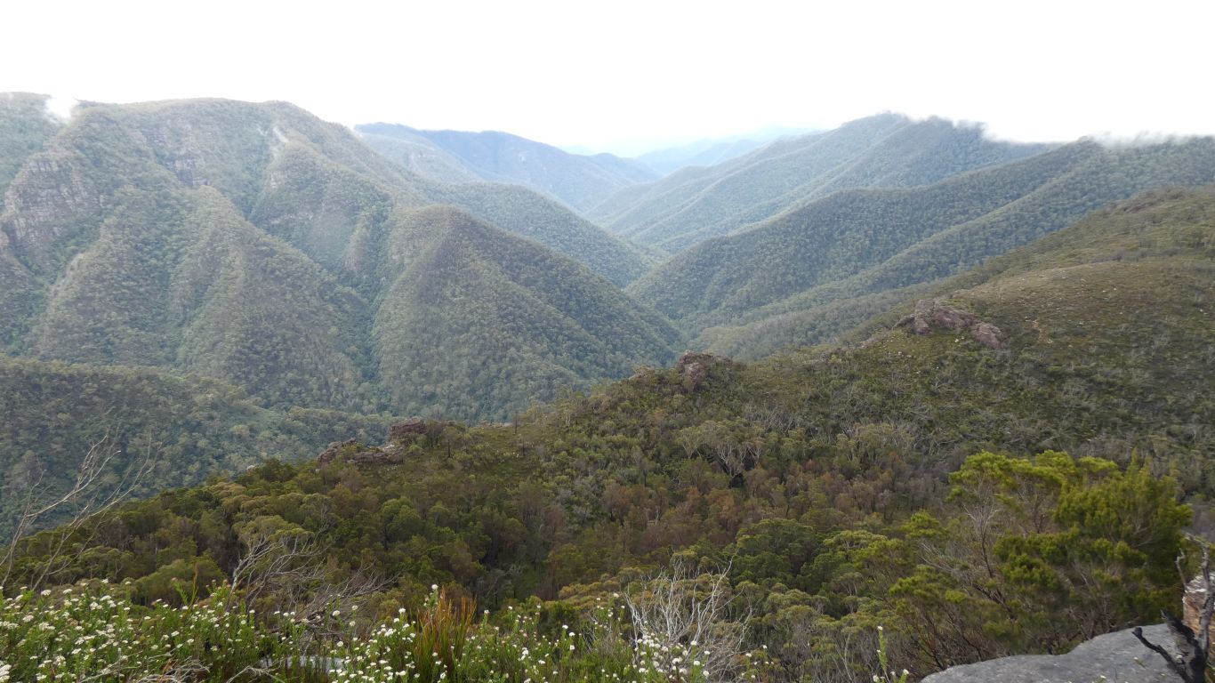
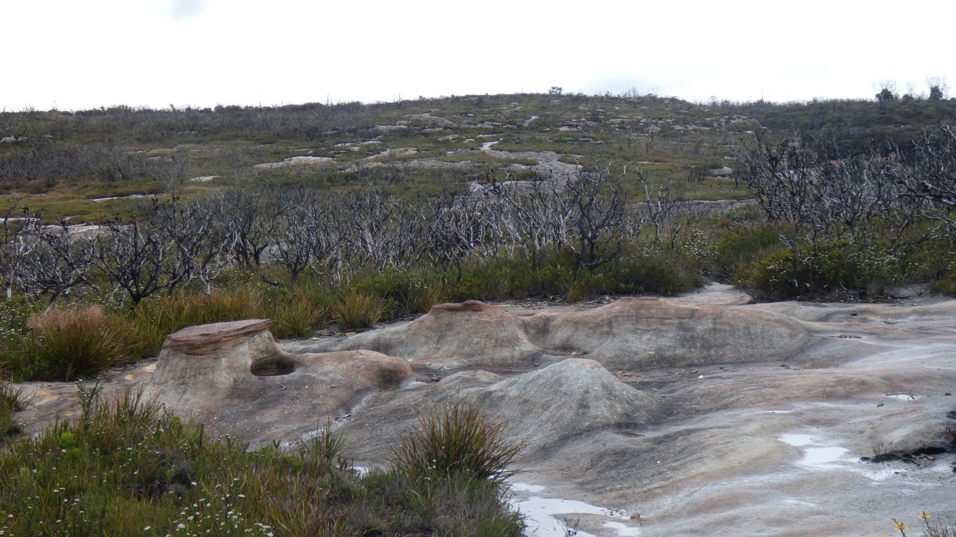
The plateau vegetation short and dense. The trees dead from fire a few years ago.
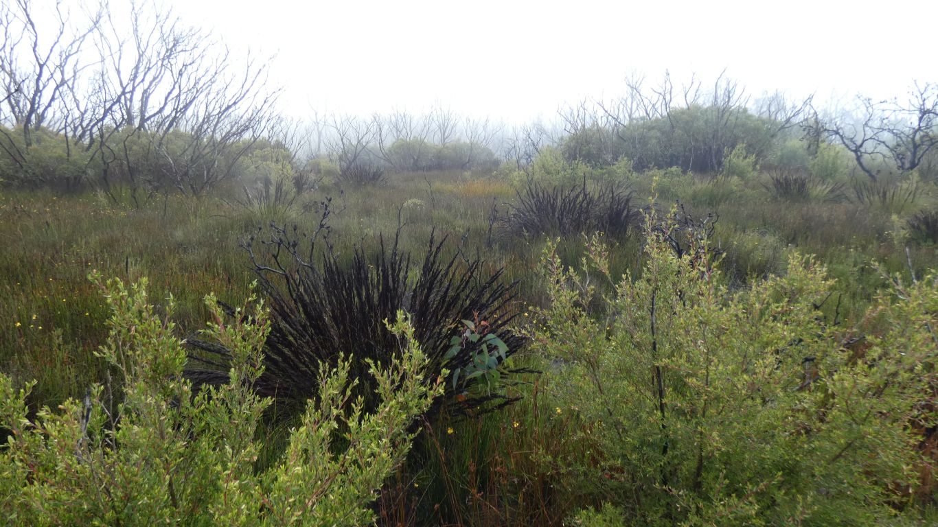
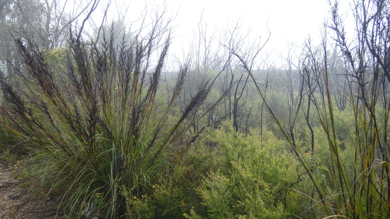
It took us some time to realise the plant was alive, the dark colour not that of burned vegetation.
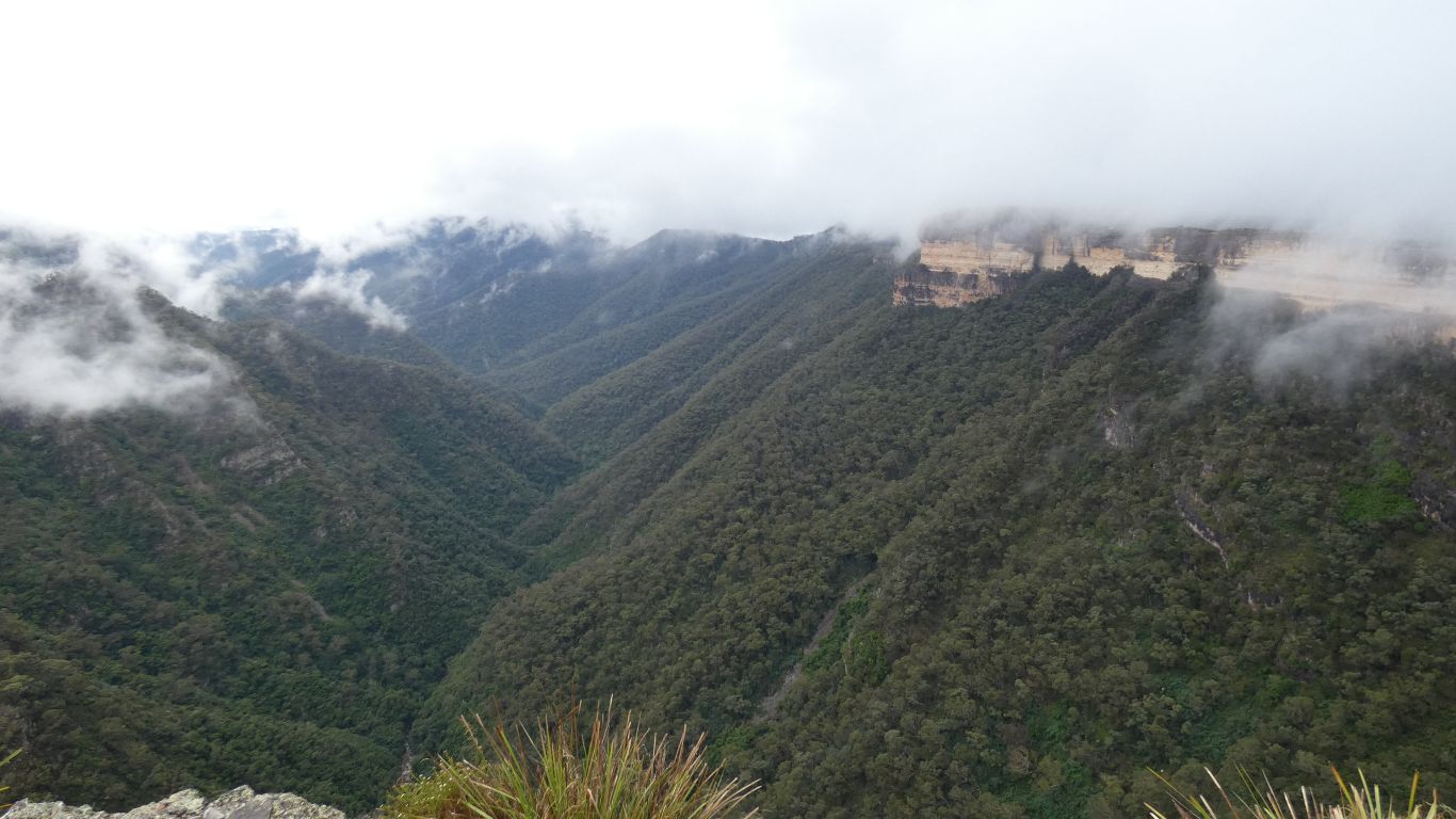
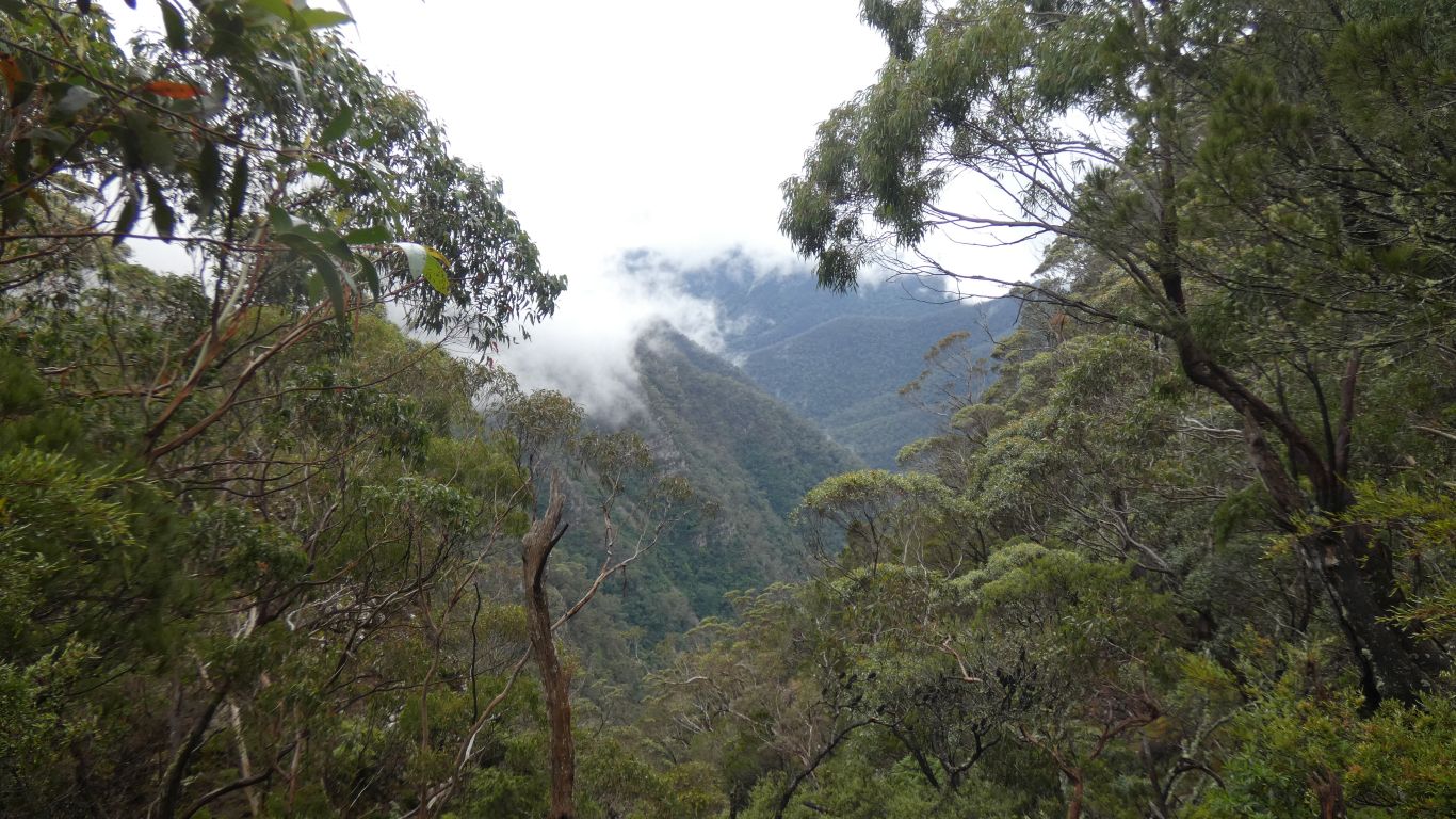
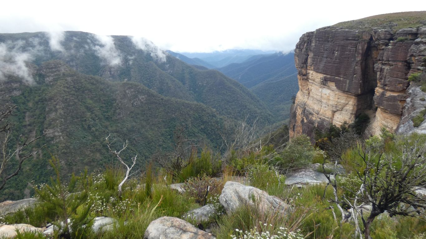
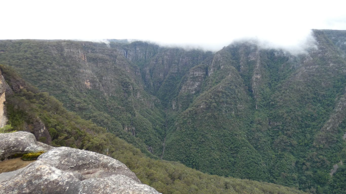
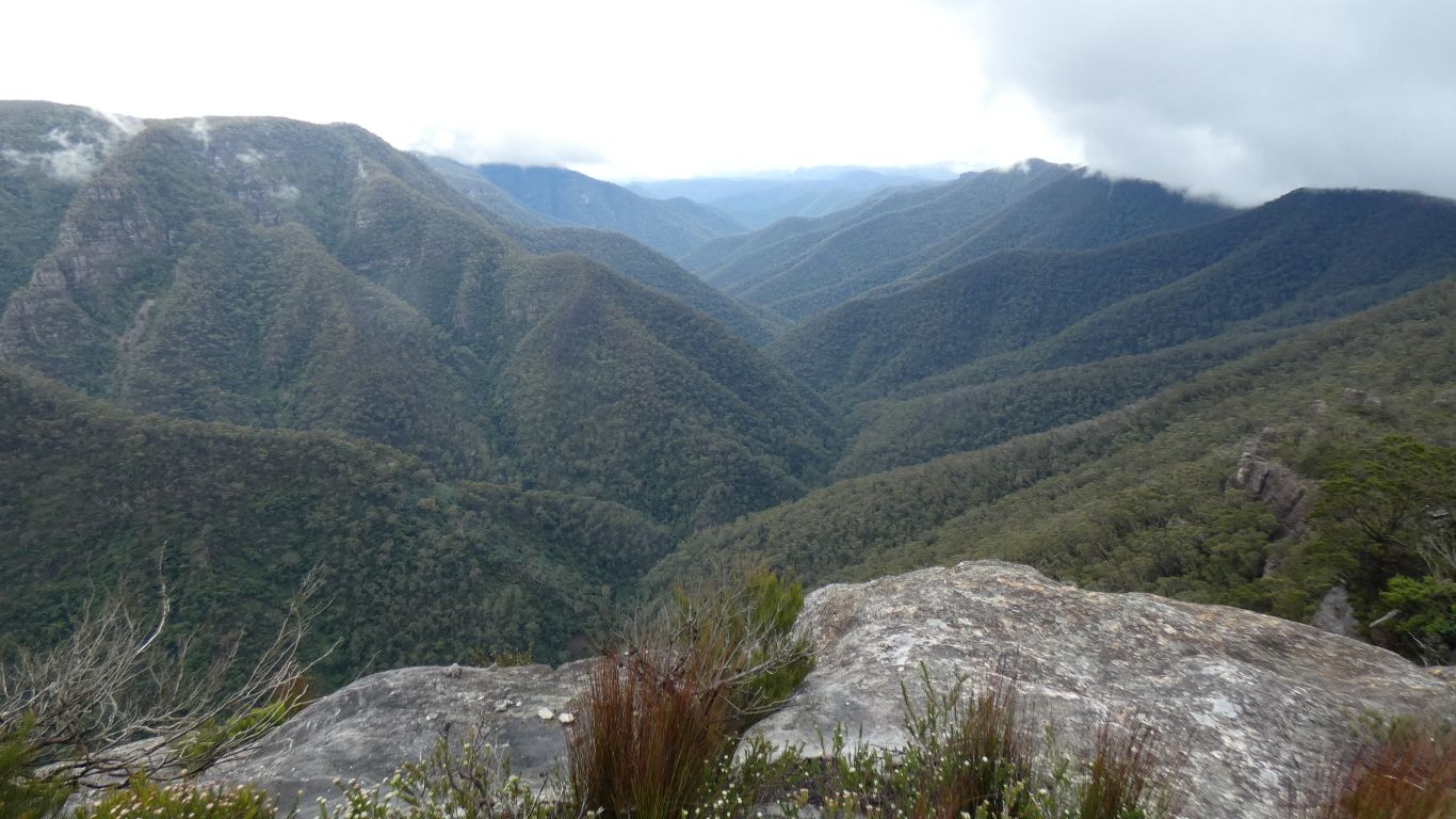
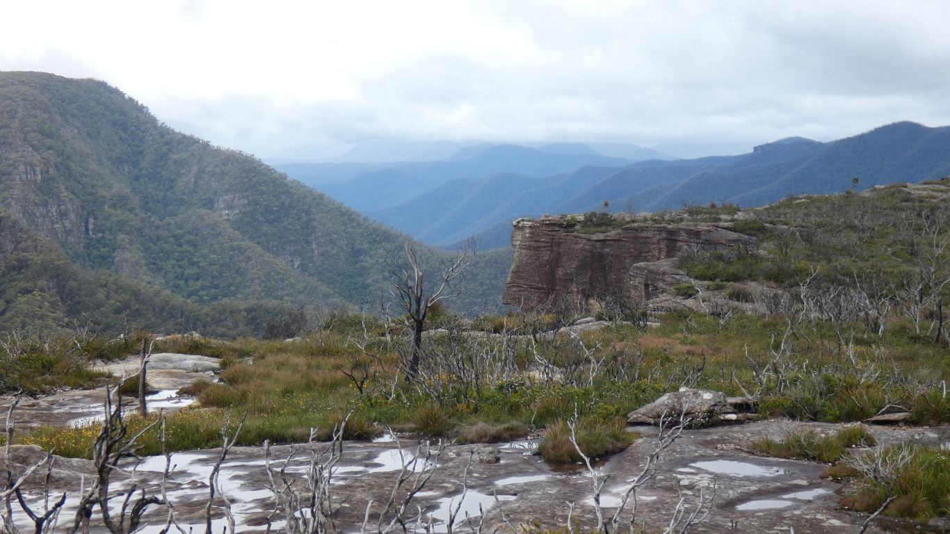
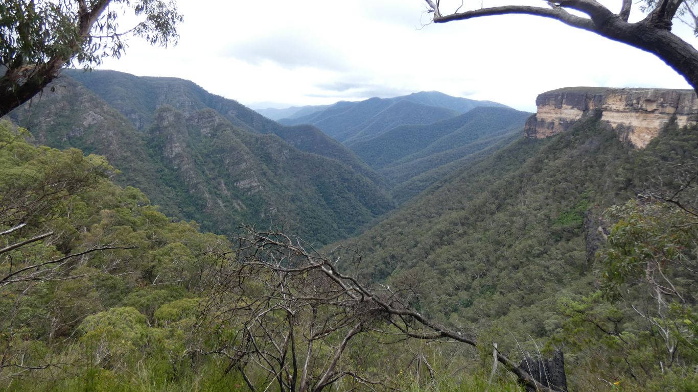
Kanangra Creek 500m below us. Flowing through Kanangra Gorge.
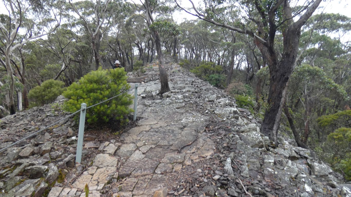
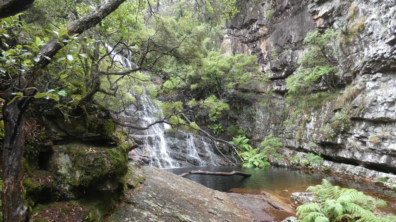
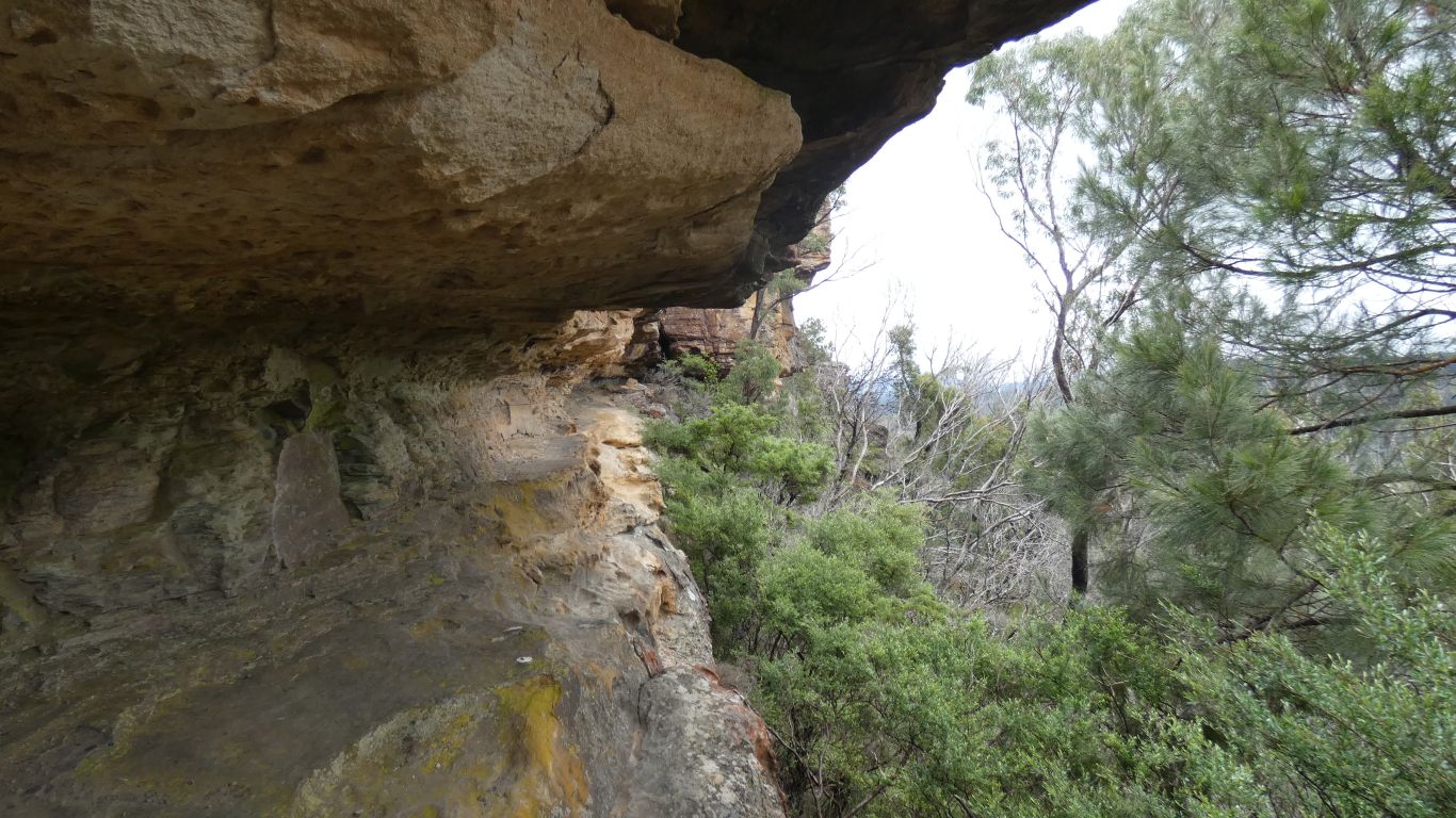
This is the way down to the falls, 438 steps. An interesting ridge. Evidence of the wave motion that occurred as the sandstone was deposited, and its steep angle evidence of the volcanic upheaval that has occurred.
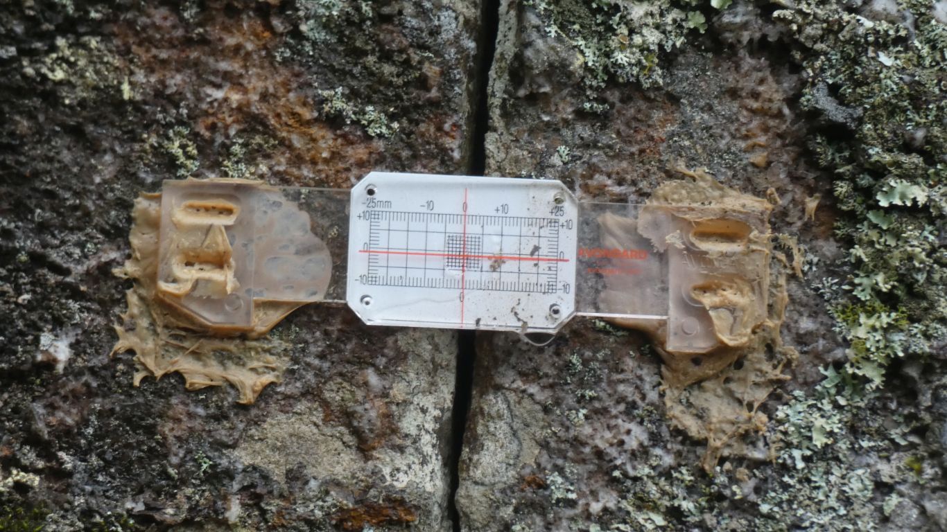
Presumably "0" means the crack hasn't opened further since the indicator was glued to the rock.
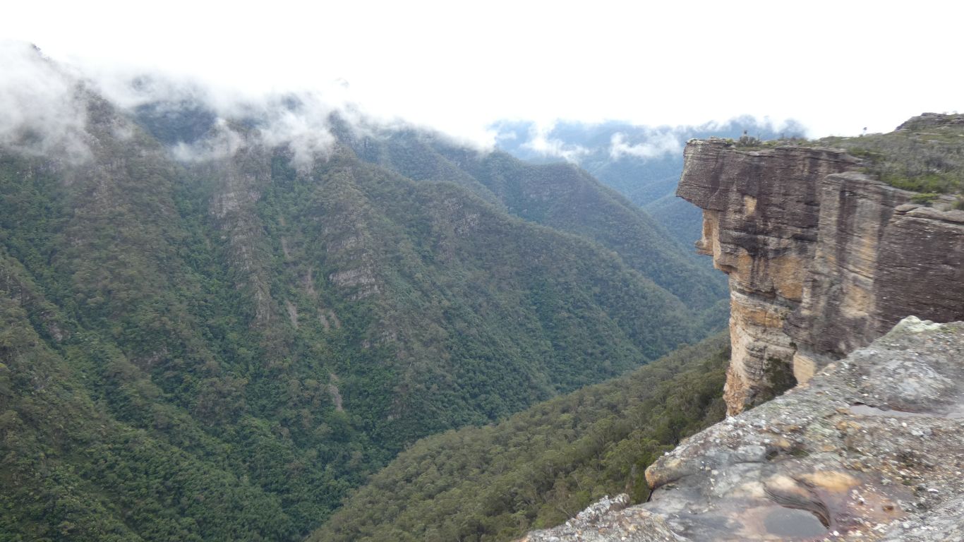
But it is a rather spectacular valley.
We decided to make hay while the sun shines. Or at least walk while its not raining. The original plan was to arrive at the campsite and spend the afternoon vegging out. Instead we are being active. Probably head north tomorrow.
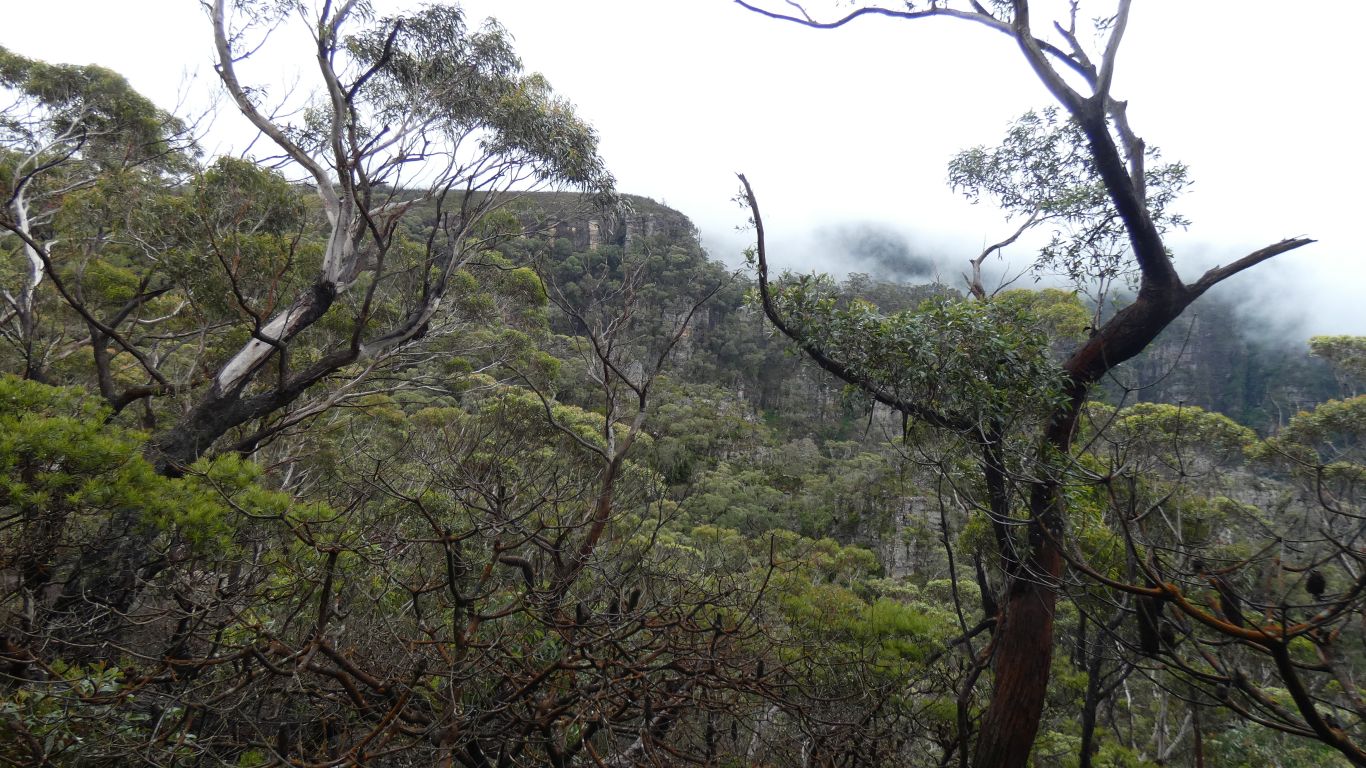
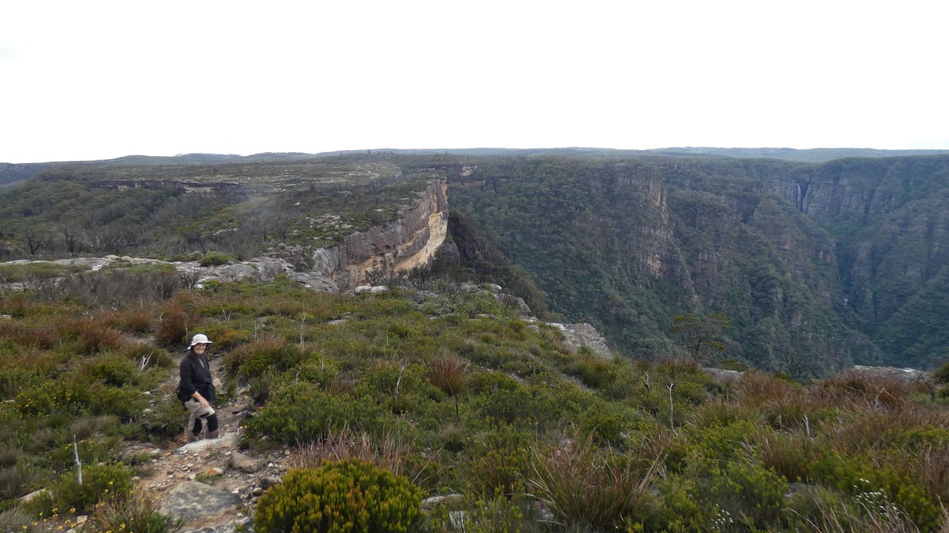
We are on the Plateau Walk. Which at least initially is a track above the walls
Kanangra Creek flows north, then east to join the Kowmung River just before the lake.
This is a very contorted landscape.
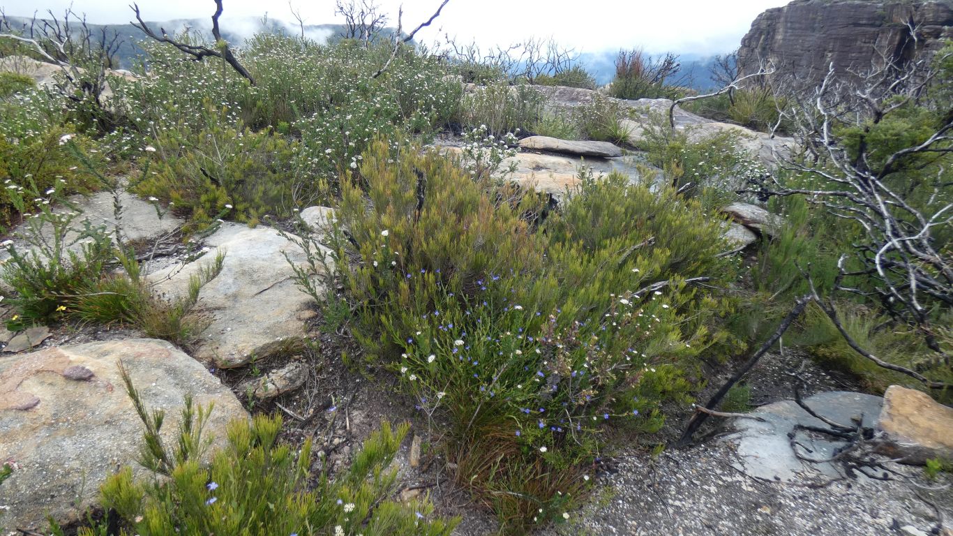
A wonderful mix of plants suited to the climate, and like the rest of our bit of Australia this year, lots of flowers.
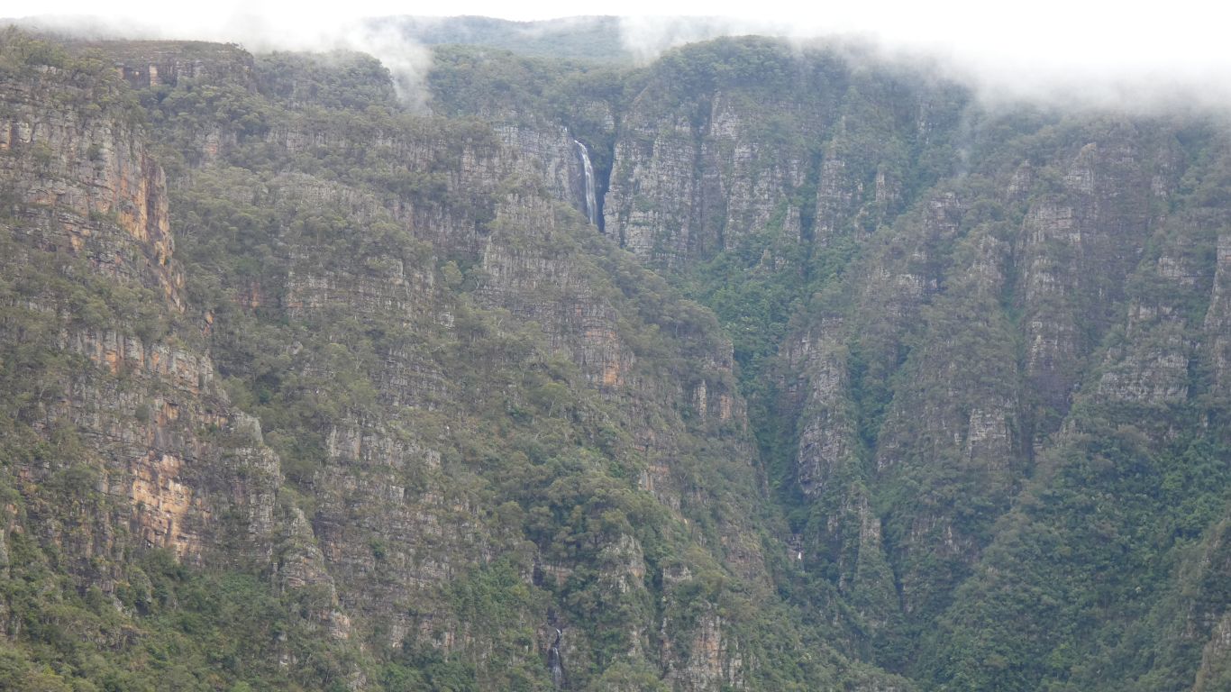
The bit we saw is well hidden. But now we can see the top part.
A land of great scale.
If we walked towards the gorge the ground becomes ever steeper, until we meet the edge.
Though I'm sure someone will have tried.
We weren't really prepared. Its taken an hour or so at a reasonaby fast pace. The tracker says almost 4km. The park map says the track ends at about 2km.
Both are probably wrong.
Somewhere near is Smiths Pass. I'll have to do some research on where the old stock route led. I can guess from our 1:250,000 map, but probably wrongly.
We think we can see a fragment of track below us, which would definitely be a bridge too far with no pack or electronics other than mobile phone and tracker. To say nothing of no waterproof for me.
We are in good shape, the track, such as it is, is across the sandstone with occasional parts through the vegetation across thin soil. Easy going.
Though we feel the 438 steps to Kalang Falls has probably taken its toll. Ali has had physio for her knee, I just have twinges in both knees.
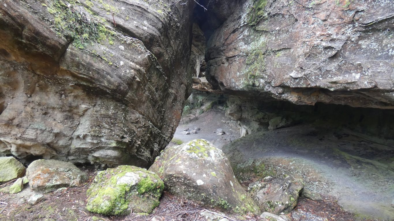
Too coarse for rock art. Perhaps a bit of rock carving somewhere, but we haven't read anything.
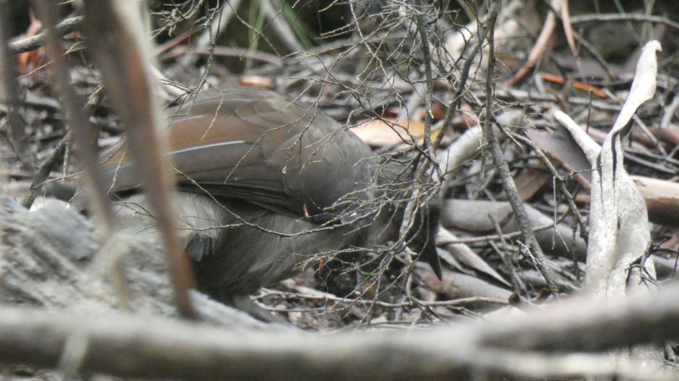
One day we will see one not hidden in undergrowth.
A 7km drive back to the Boyd River Campsite.
There are two camps, either side of the road. We are on the east side.
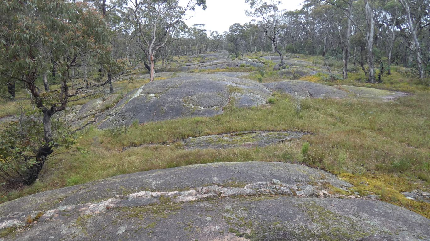
Looking further east there is a line of rounded granite outcrops. I had a close look as the majority of the landscape is sandstones.
This is pink, crystalline, and eroded to these rounded humps. Ergo, its granite.
Likely that the outcrops we've been seeing along the roadside are also granite.
The caves, the well known are Jenolan, Wombeyan and Abercrombie, but there are others, that dot the wilderness are limestone. We haven't seen any limestone, but will keep our eyes out.