| |
|
|
| Gulvida Soak, Well 50 |
 |
June 27 -28 2025 |
| |
|
|
 |
|
Gulvida Soak is about 5km south west from the well.
There's no track marked on my maps. I didn't look closely enough at the
satellite pics.
I decided to walk. |
| | | |
 |
|
I did have gps coordinates for the soak. But of course they
proved to be wrong. Hindsight is wonderful.
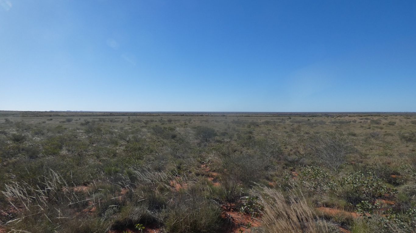
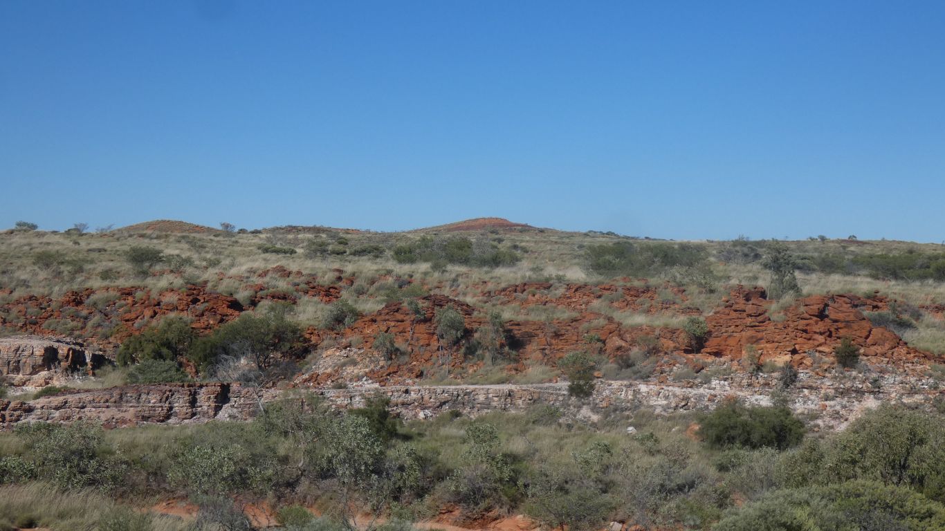
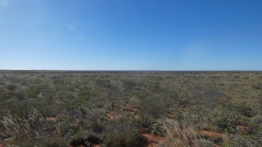
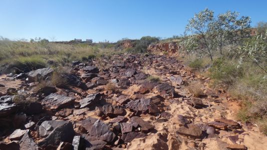
Mostly spinifex of varying height and density. With some low bushes.
As I approached the hills I was aiming for the ground changed from sand
to rocky. |
| | | |
 |
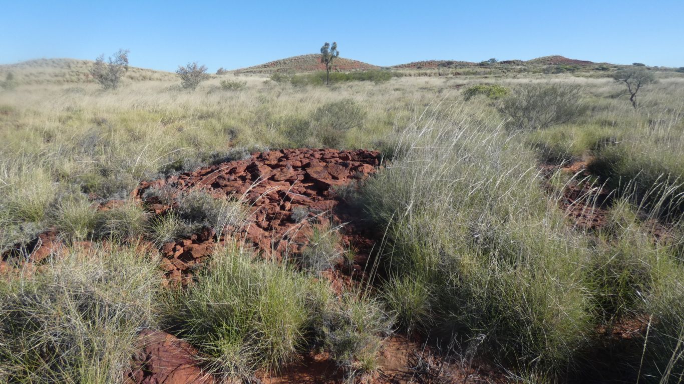
|
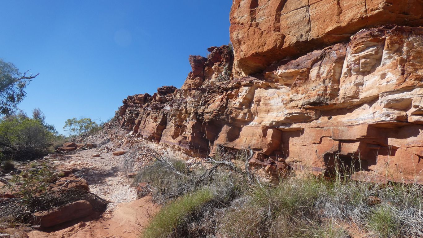
A darker brown, varnished, rocks and stones. |
| | | |
 |
|
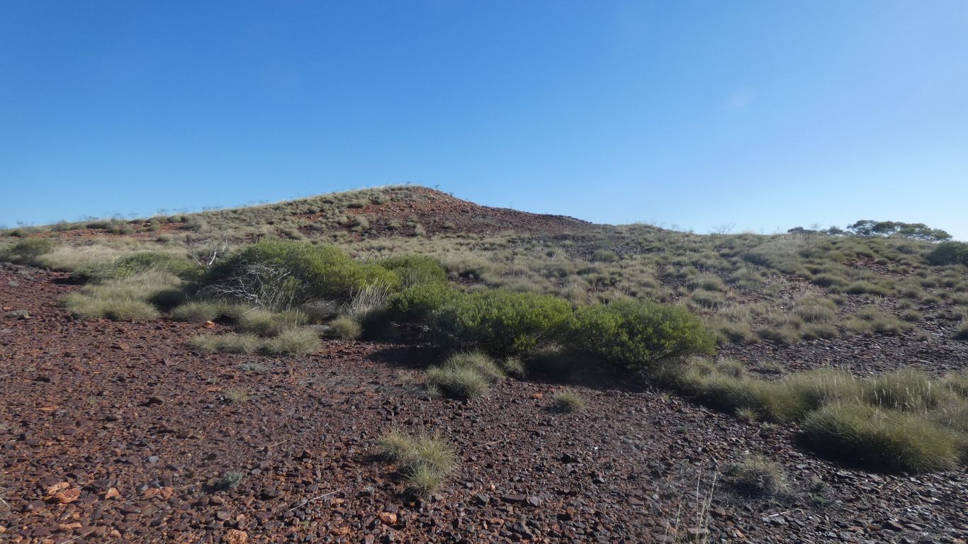
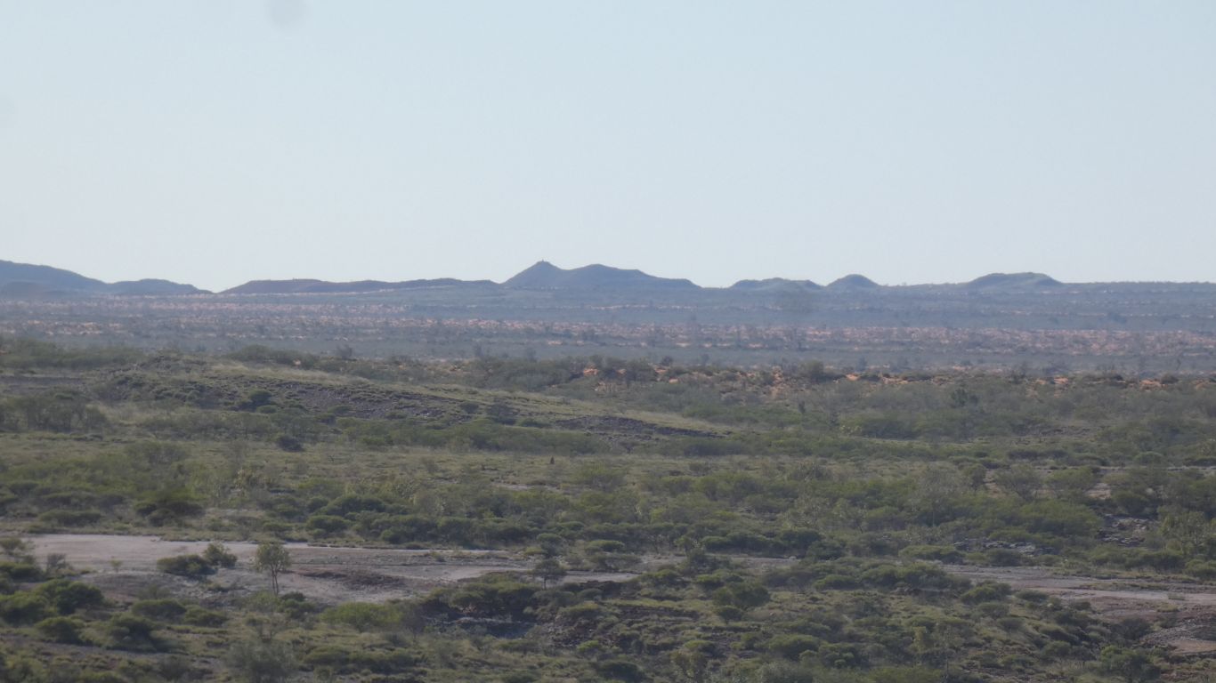
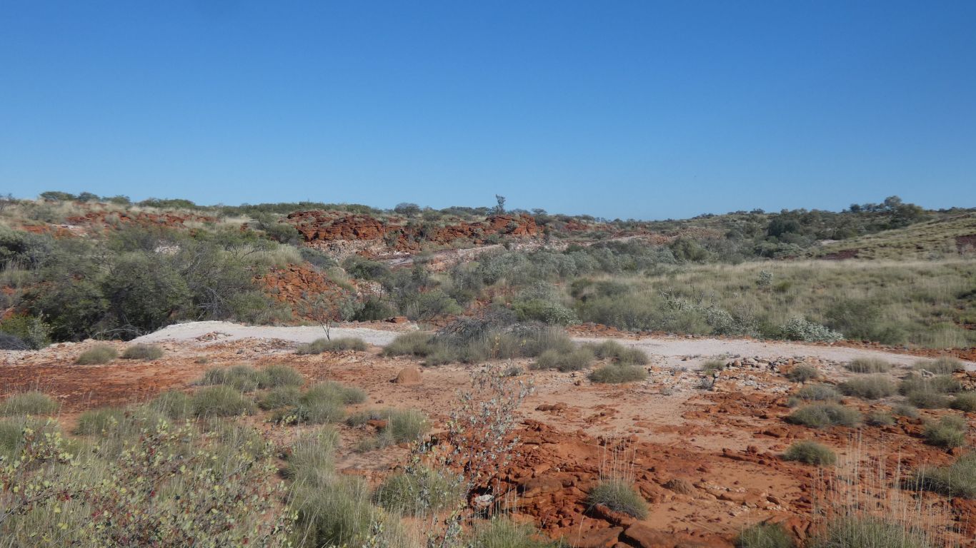
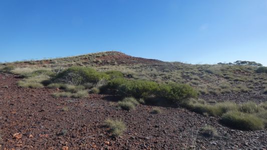
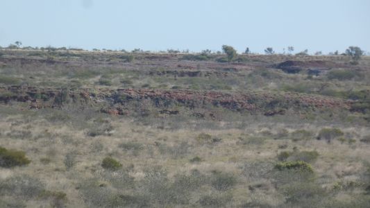
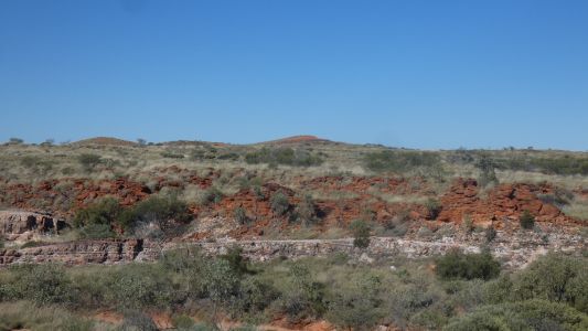
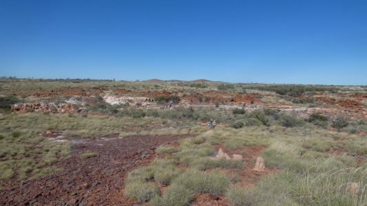
From the top of the first hill. Somewhere down there is a
soak. There's a rough line of "cliff" which is the line of a creek, and
perhaps the soak.
About a km to the coordinates. I ran out of time and retreated the 5km
back to camp. |
| | | |
 |
|
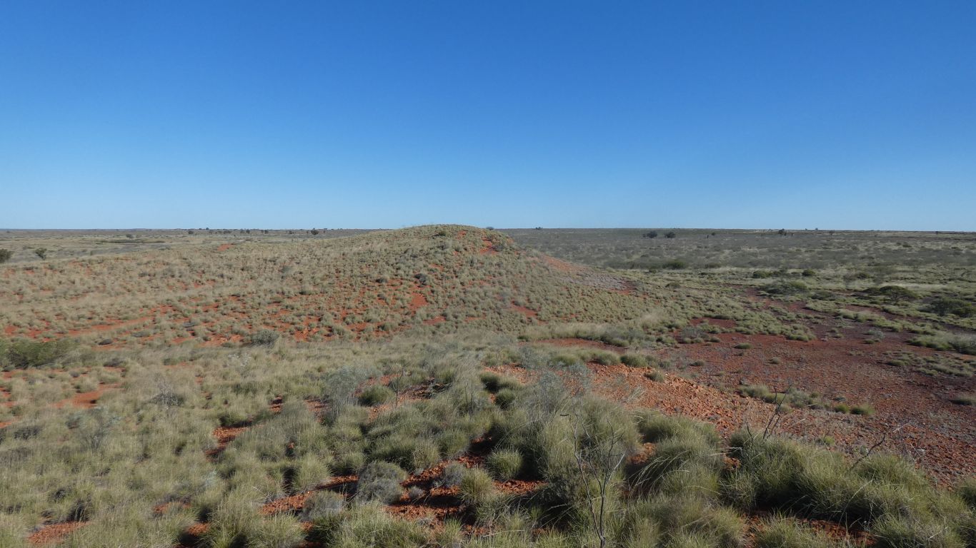
The camp roughly a bit more easterly than these hills. |
| | | |
 |
|
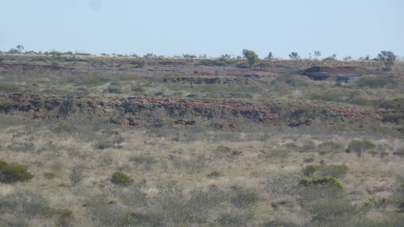
A closer (zoomed in) look at the creek. |
| | | |
 |
|
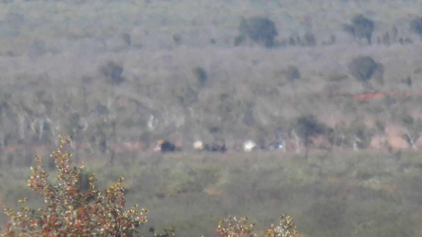
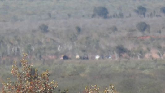
Walking towards the hills was easy. There were no landmarks
on the way back until I could see vehicles at the camp, a couple of km away.
I relied heavily on the handheld Garmin gps tracker. |
| | | |
 |
|
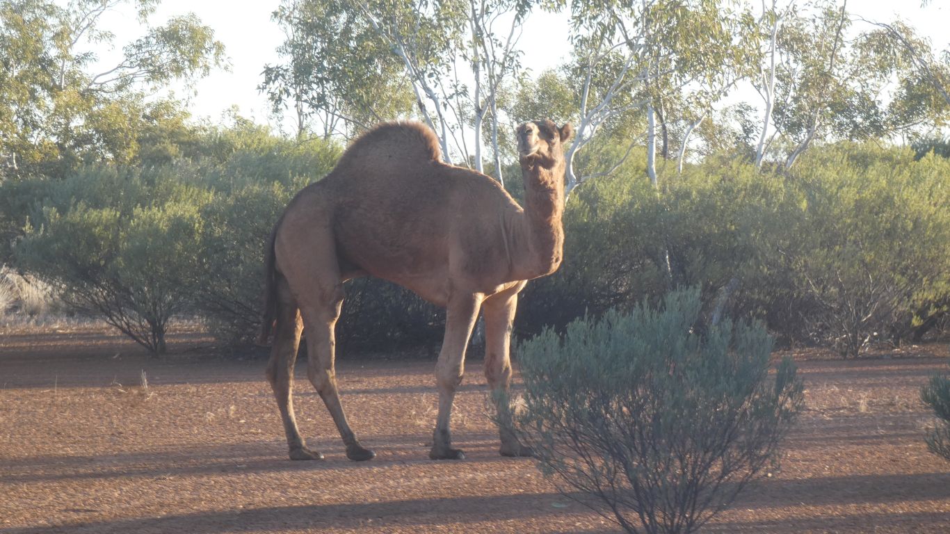
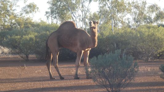
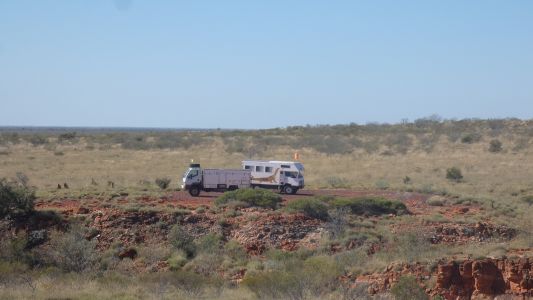
We camped in the vast expanse of well 50 campsite.
Several other parties.
And a resident camel .... I saw lots of camelettes earlier but mostly
hidden in the bush. |
| | | |
 |
|
After a bit more research, of maps, satellite views, and
travellers websites, we identified the vehicle track which ends near the
soak. At one part of my walk I was within 140m of the track. Blissfully
unaware of its existence. |
| | | |
 |
|
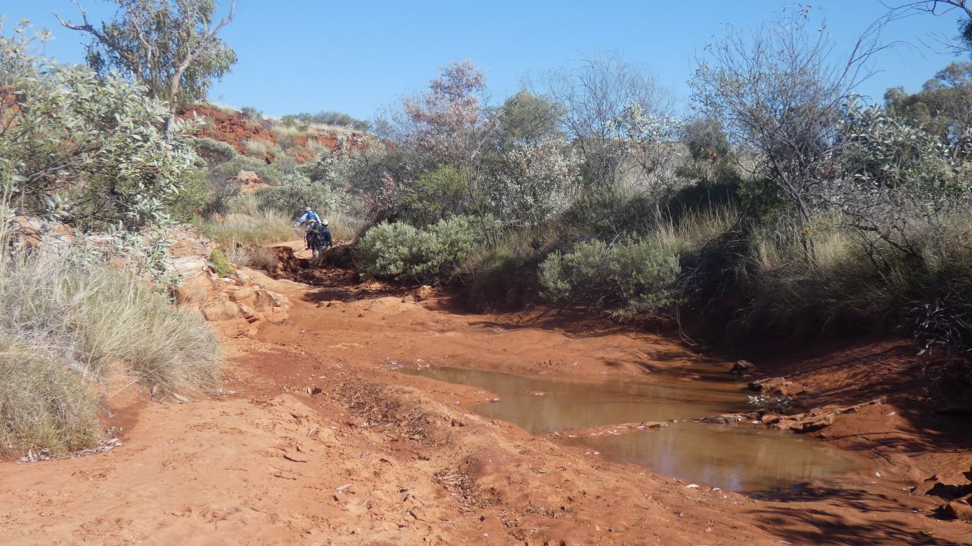
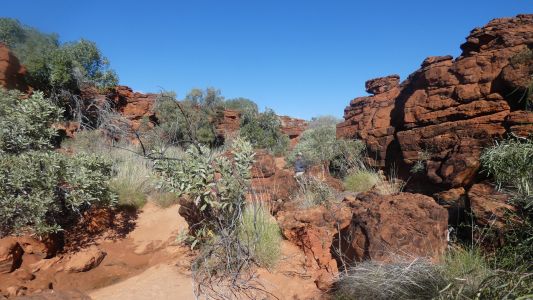
A drive, then a km walk to a small gorge. From here we
climbed down into the creek bed. |
| | | |
 |
|
Sand, and tilted rock strata. |
| | | |
 |
|
The darker, harder, rock in the creek bed hasn't been water
worn. |
| | | |
 |
|
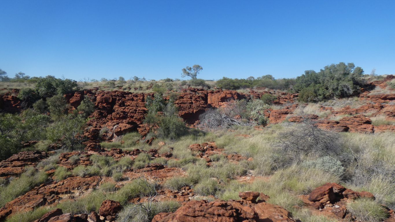
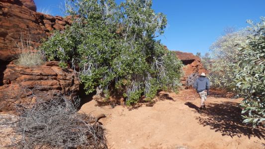
I climbed out of the creek bed for a pic of the hills I
walked to yesterday. I was on top of the left hand one.
I'm pleased I didn't explore further. |
| | | |
 |
|
Fist bit of water in the creek bed. We are well past
where the soak is marked on maps. |
| | | |
 |
|
A bit tighter. |
| | | |
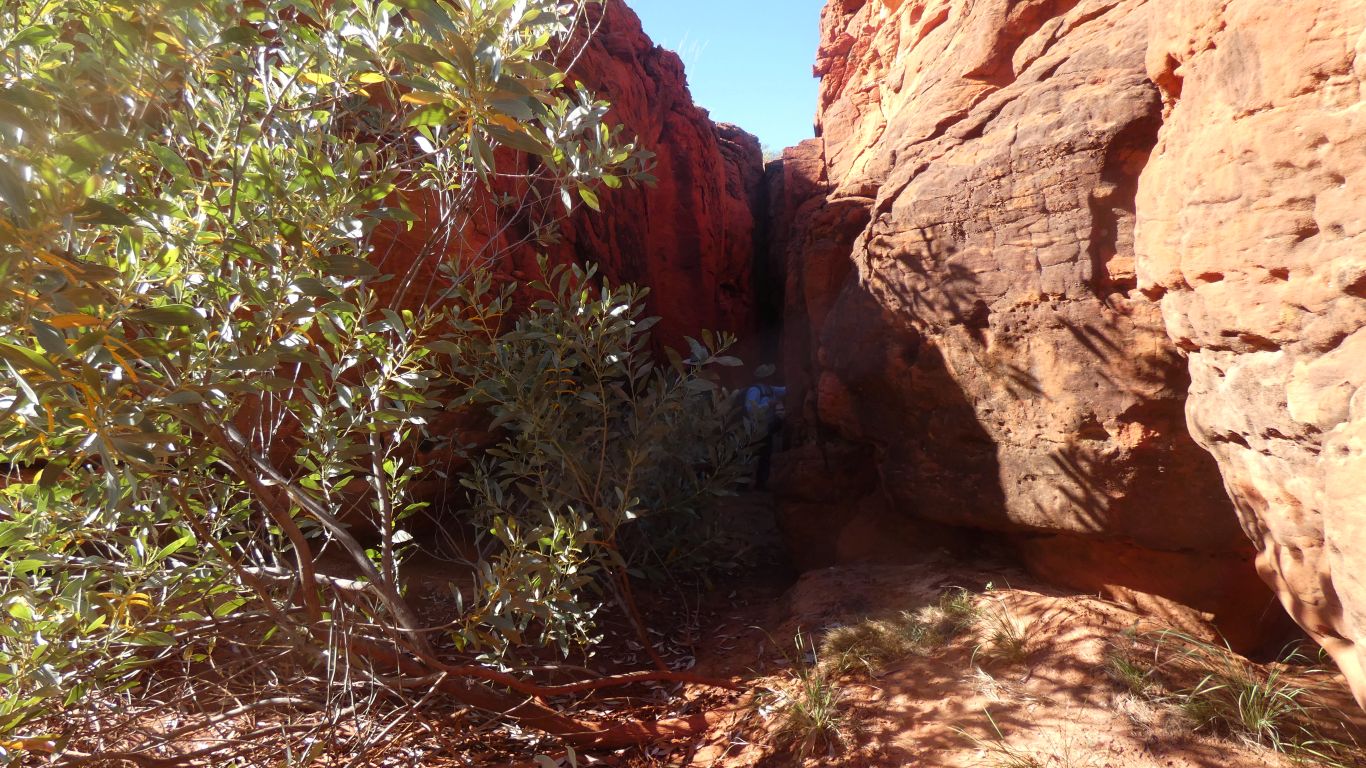
 |
|
Just around the corner. As advertised. |
| | | |
 |
|
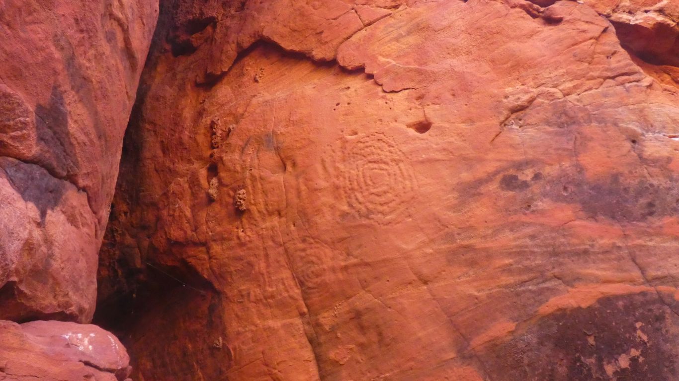
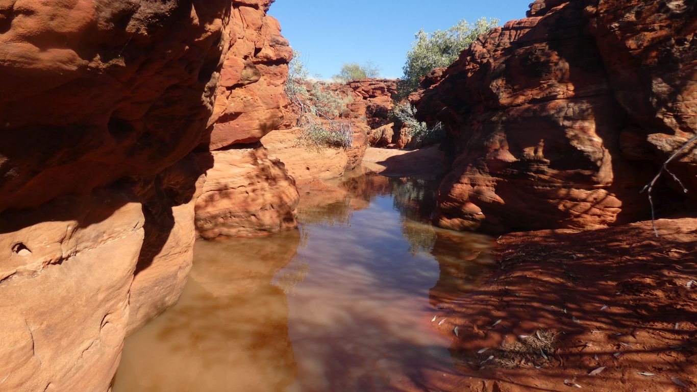
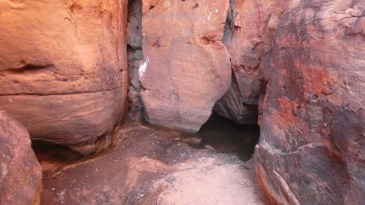
At the end of a narrow, 25m long, gorge, a water hole. |
| | | |
 |
|
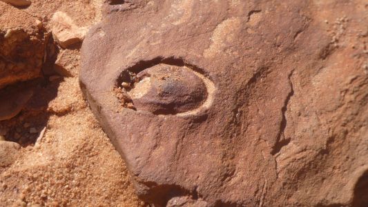
With the petroglyhic concentric circles that we believe
indicate water. |
| | | |
 |
|
Just past the entrance to the gorge we stopped. Unwilling
to wet our feet.
We are becoming soft. |
| | | |
 |
|
The entrance to the short gorge. Zebra finches were
further out of the gorge. |
| | | |
 |
|
Up on the side again. Looking into the creek. |
| | | |
 |
|
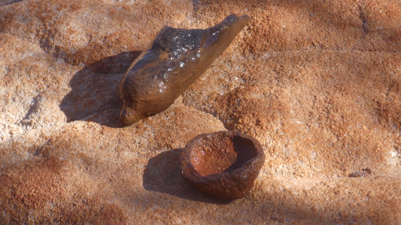
Perhaps a shell caught in the sea bed as the sandstone was
forming. |
| | | |
 |
|
Perhaps a fossilised seed pod (its hollow) and half a
geode. |
| | | |
 |
|
More of the rock strata, of different colours and hardness. |
| | | |
 |
|
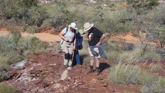
Its amazing how long it takes to discuss the finer points
of camel droppings. |
| | | |
 |
|
It usually takes me a few days to orientate myself.
Another look at the hills. |
| | | |
 |
|
Looking east to the trucks. |
| | | |
 |
|
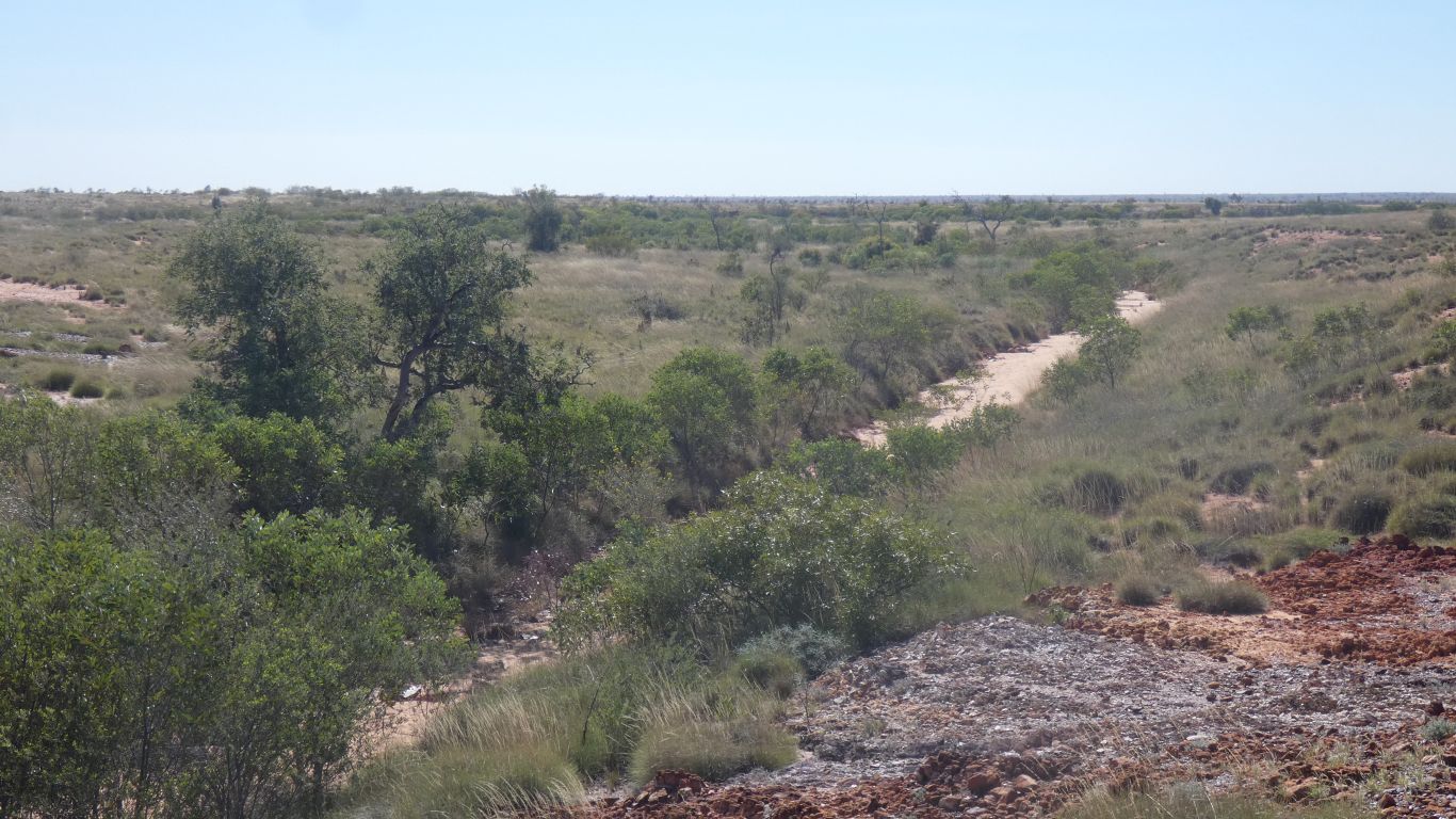
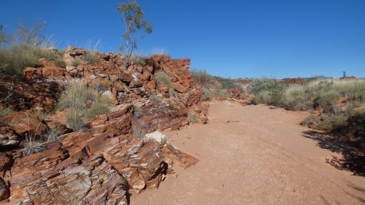
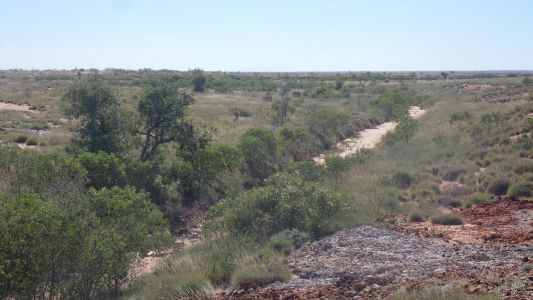
And the sandy bottomed creek as it leaves he higher ground,
towards well 50, about 5km. It disappears into the desert before it gets
there.
The well, and campsite, is at the eastern end if an inland delta. The end
of the creek. Its been flooded recently. Its now dried and rock hard.
Mid morning. The rest of the day for relaxing. I think I mentioned we
haven't far to travel and have lots of time. |
| | | |
| To Breaden Hills |
|
June 29 2025 |
| | | |