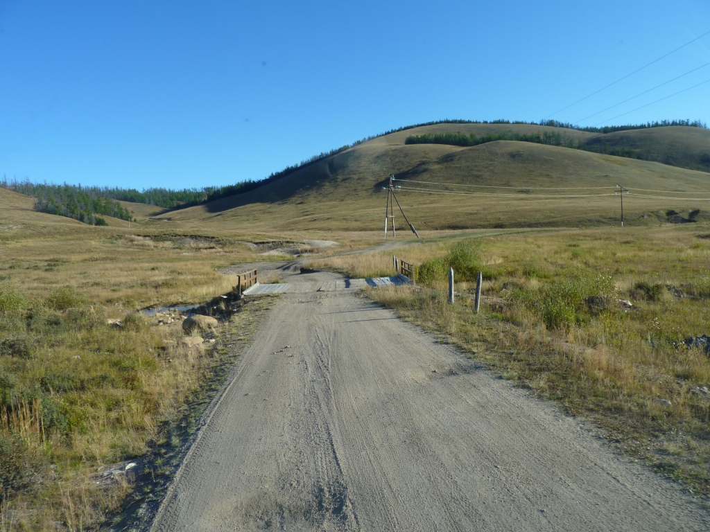
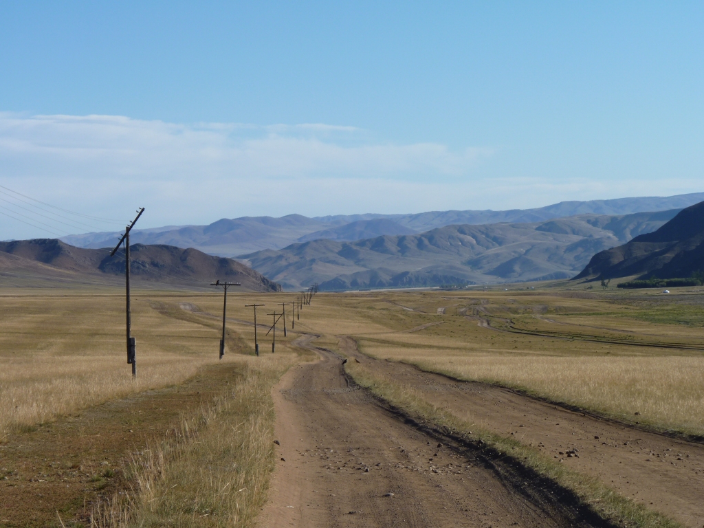
The driving is slow, between 10 and occasionally 30 km/hr.
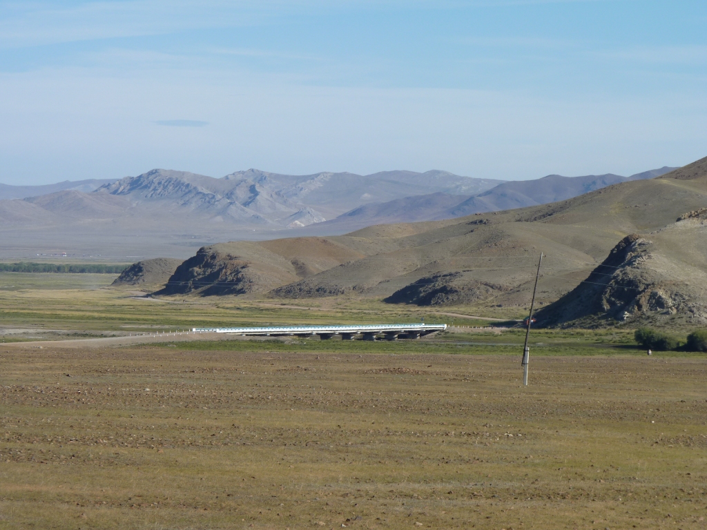
There's the occasional bridge.
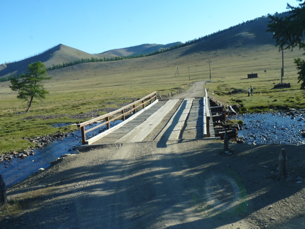
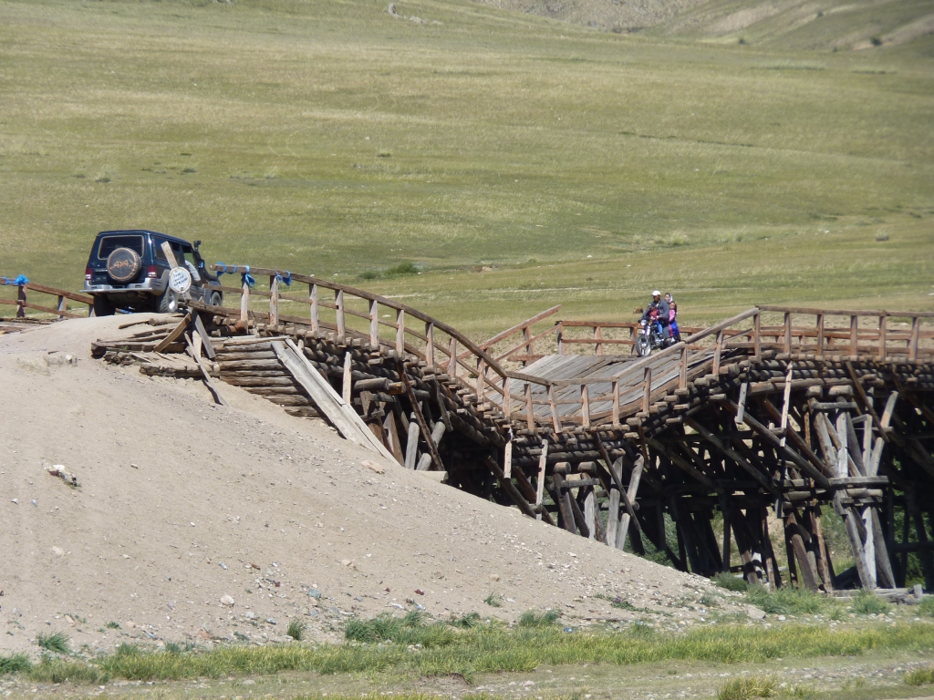
They seem to be rated at 5 tonnes. Just ok for us.
We are both used to trees that grow low down, with a tree line above which is tussock and snow.
We are finding this "upside down" world a bit odd.
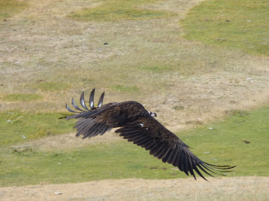
Which promptly flew away.
Surprisingly solid under the wheels.
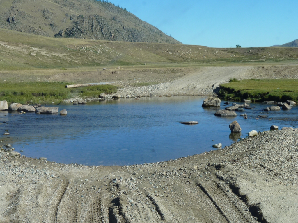
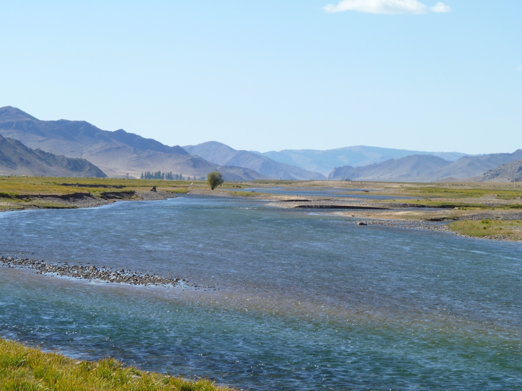
We keep reminding ourselves not to be too casual about water. There's bound to be one that will catch us out if we aren't concentrating.
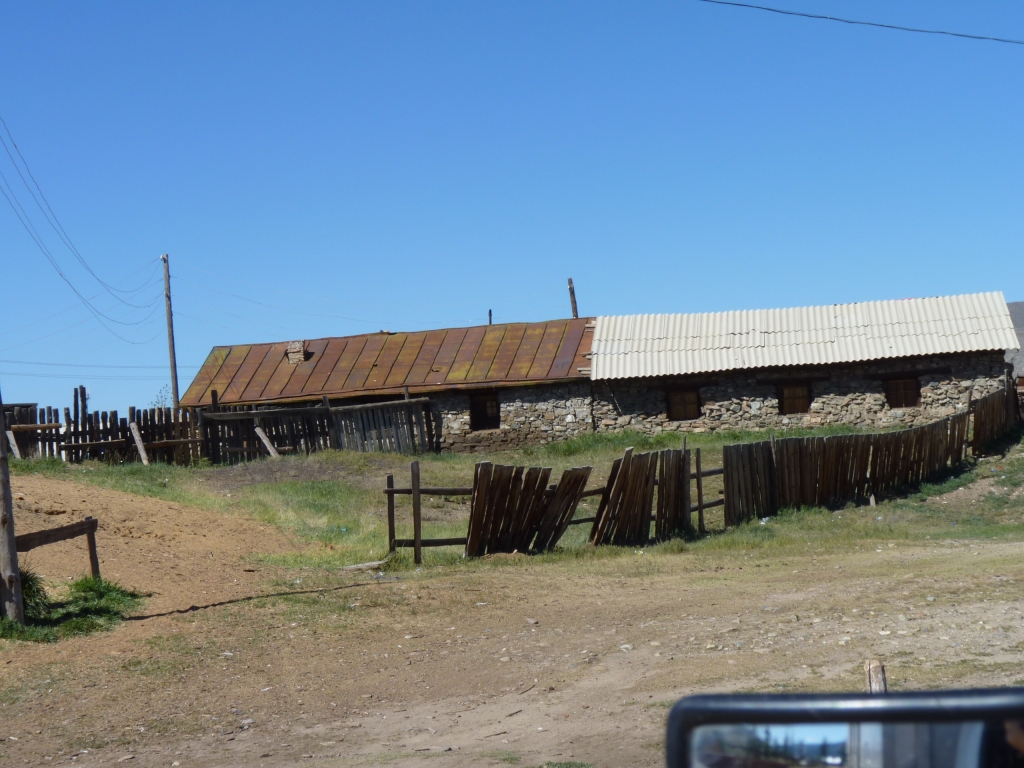
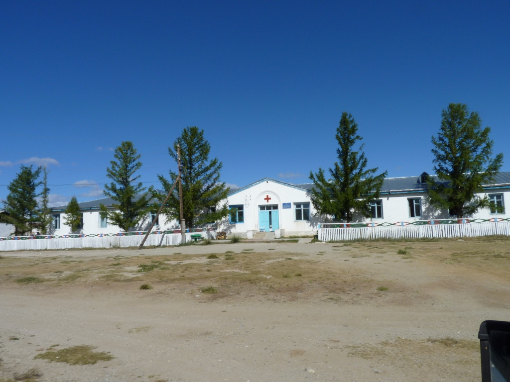
This stone building is at the Southern end of Jargalant.
The roof of the left hand part is copper sheet.
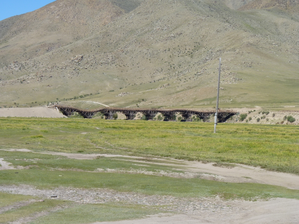
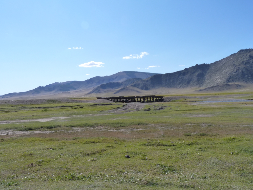
This bridge, giving access to the roads North of Jargalant used to be flat. Apparently is quite a well photographed structure in its previous glory.
Apparently some of the piles have suffered a bit of subsidence.
Before arriving in Mongolia we had read that "Mongolia has no formal road system".
We are beginning to feel that the statement is a bit unkind. Its just not as formal as some other countries.
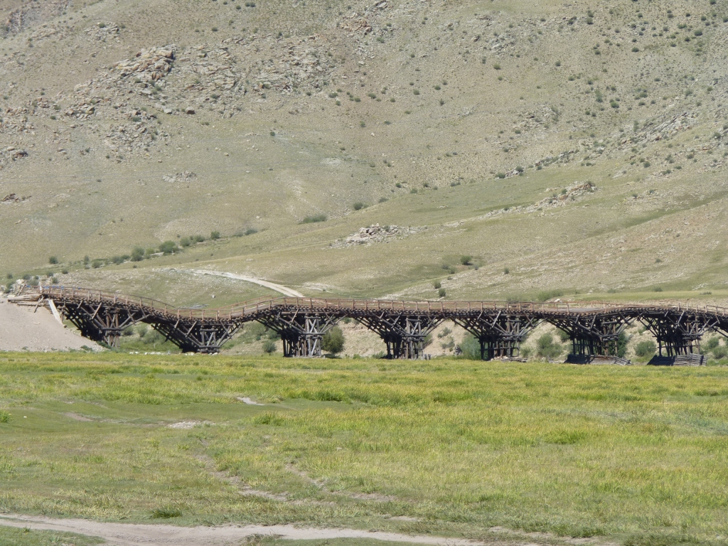
That second set of piles has sunk by a couple of meters.
It may be more effective as a bridge but it won't have the character of this one.
Our guesstimate is it will probably be complete somewhere in the next 6 months. It looked like the last span was being put in place.
Regardless, we decided to try a detour rather than become a headline like "Australian Motorhome Destroys Mongolian Bridge" or "Daring Rescue of Aussies Stuck on Mongolian Bridge".
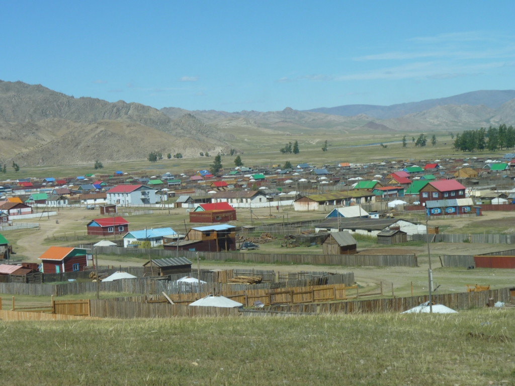
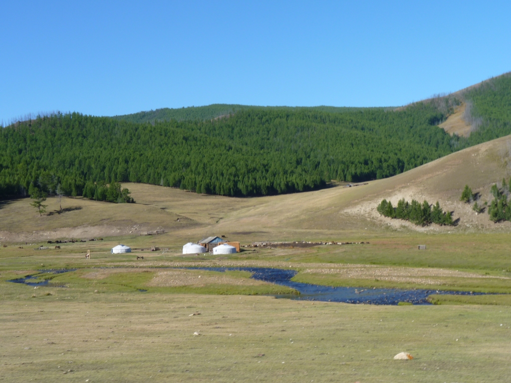
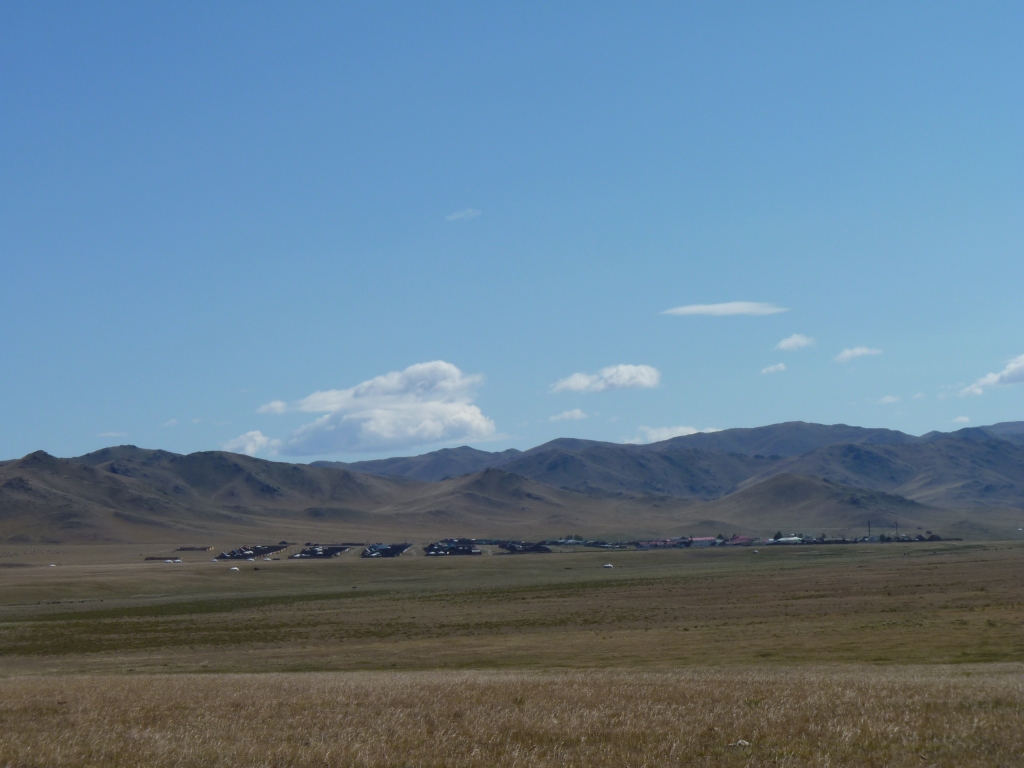
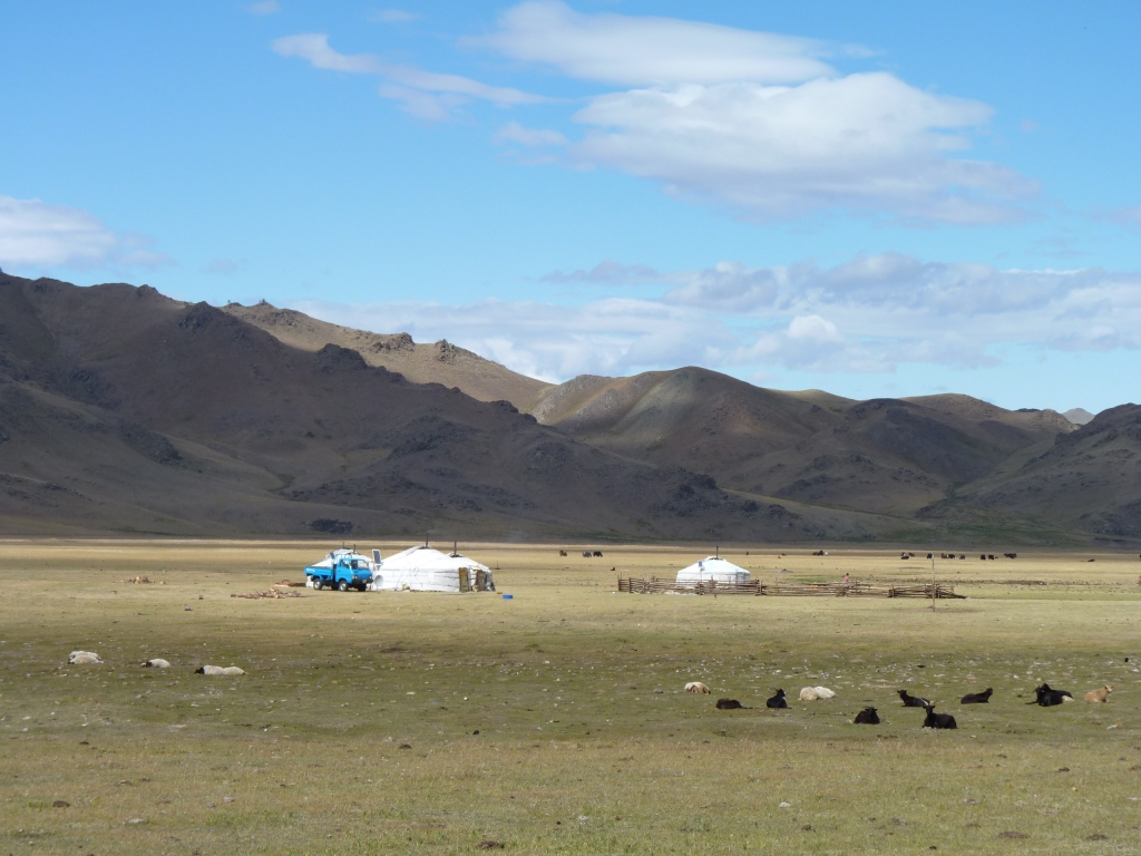
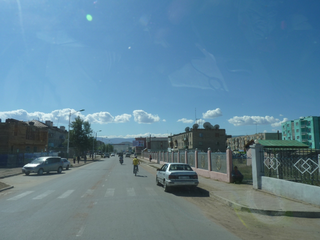
Jargalant is a bit bigger than most and has a couple of rivers nearby.
We eventually escaped to the West.
It is unlikely we'll be able to cross it sooner than Ikh Uul.
The entry and exit tracks had been cut.
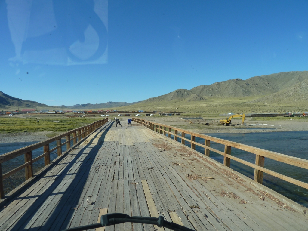
The two people in front are bridge repairers.
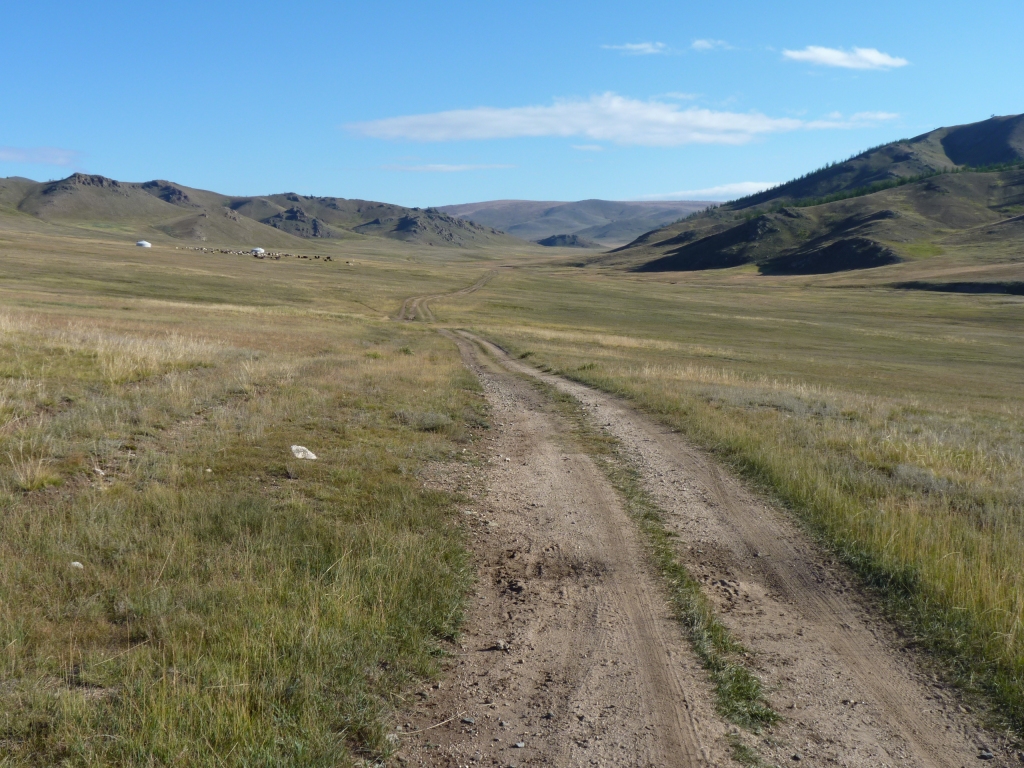
We are struggling to cover 100 km each day on the tracks.
We are both feeling tired. When we stop for the day we seem to just want to eat and sleep.
Looks like being this way for quite a few days. Even when we get to Murun we don't expect much improvement.
We are taking "the popular scenic route".
Not sure who its popular with as once away from the towns we are seeing very little traffic - maybe two or three vehicles plus a handful of motorbikes each day.
But lots of concentration required as the sun during the day meant holes were hard to see.
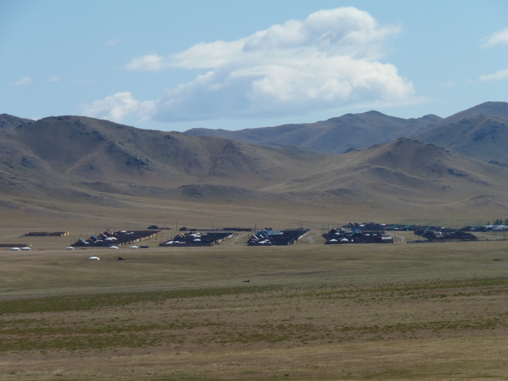
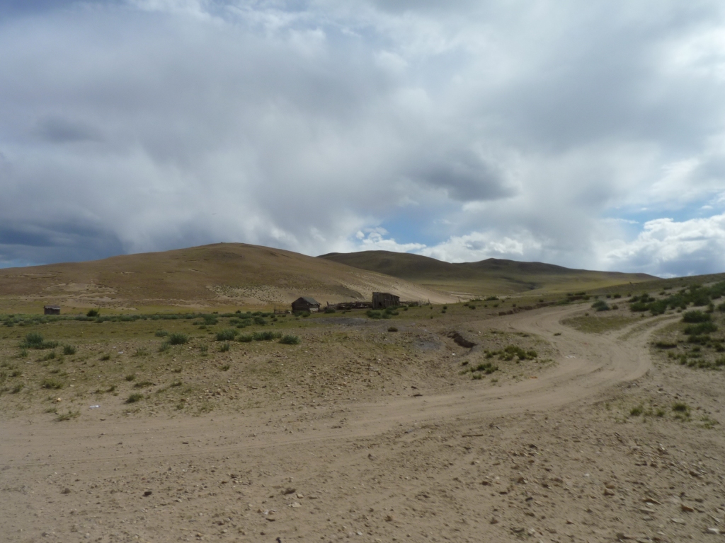
Each street has "standard sized" fenced sections containing house or ger, or both.
Population of the town is probably a few thousand.
This is one.
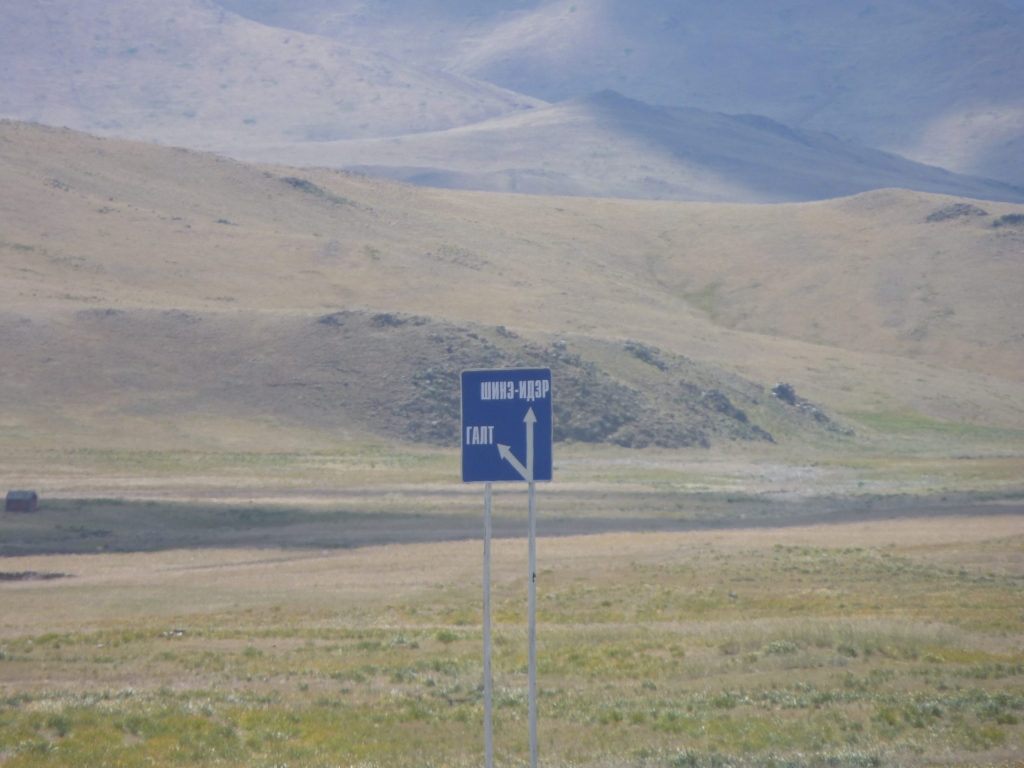
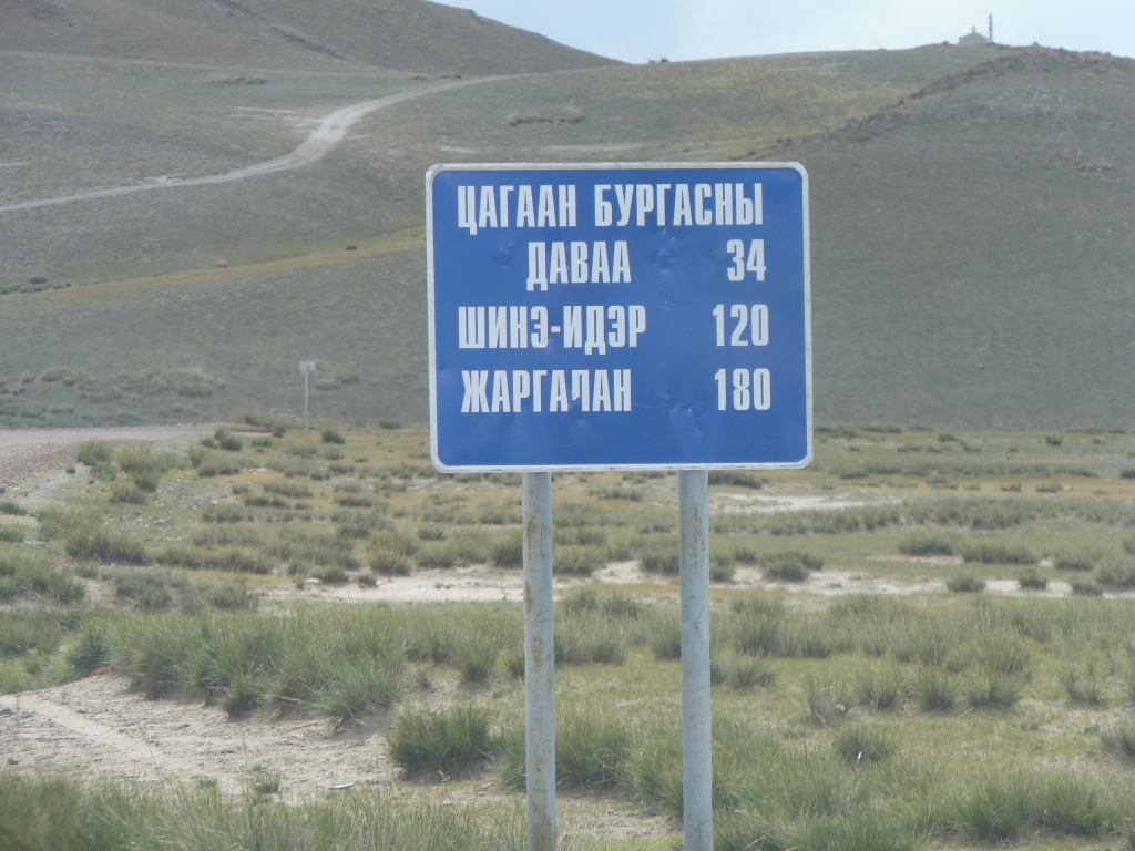
Unfortunately for people going the other way. And more unfortunate for us its written with Cyrillic alphabet.
To either Shine-Ider or Galt.
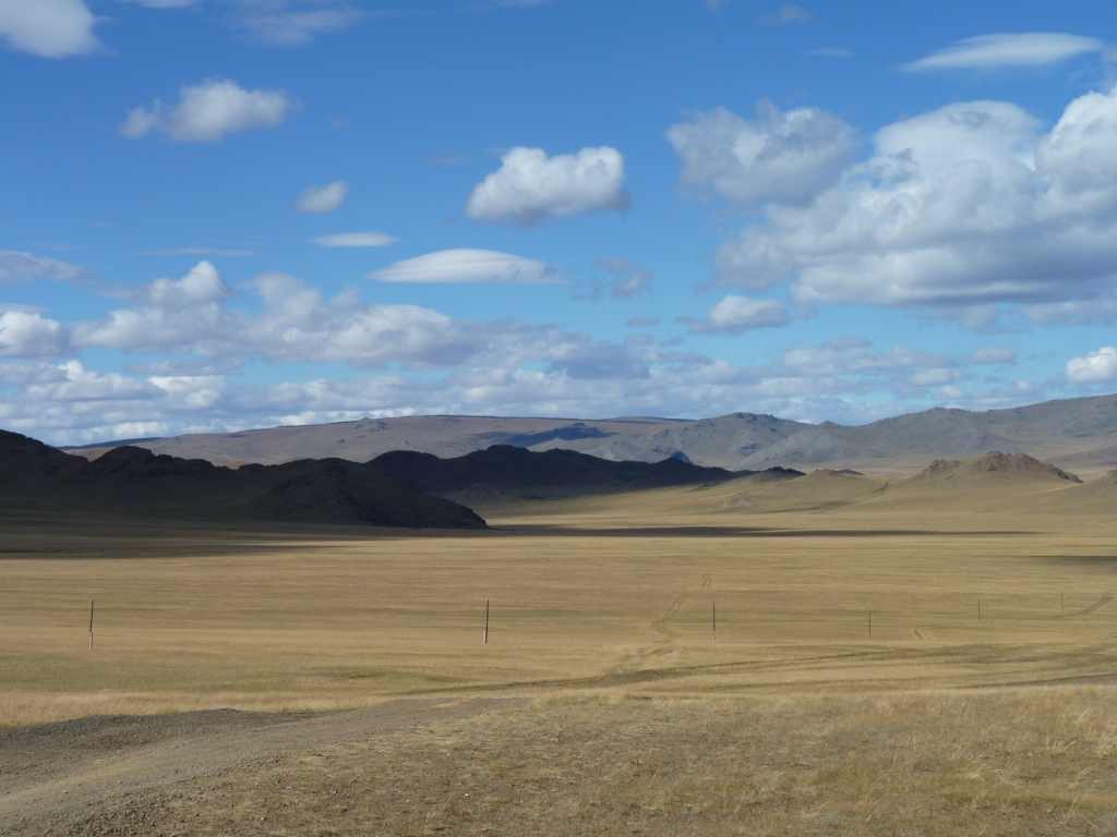
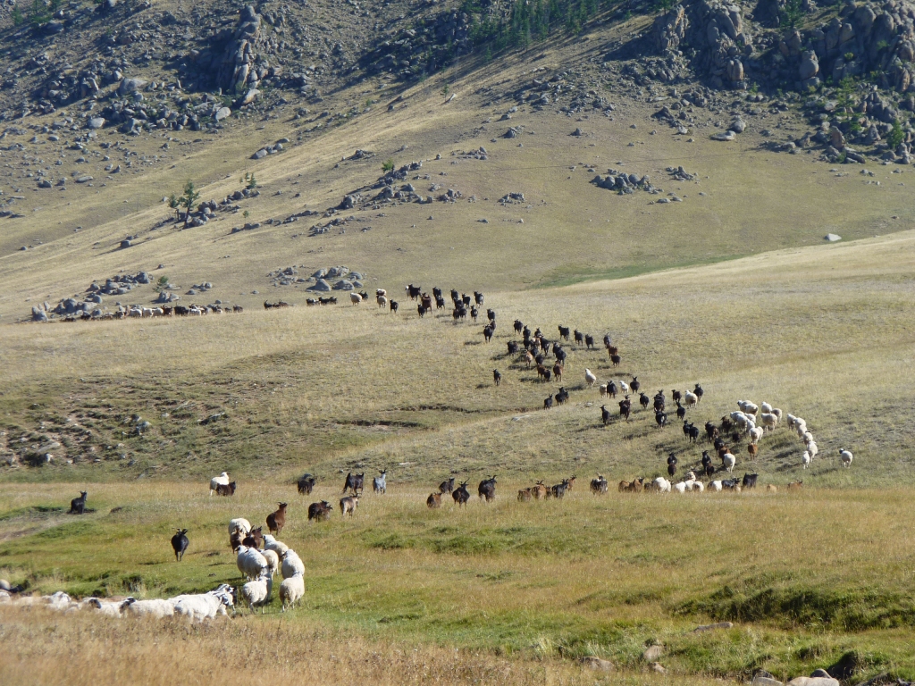
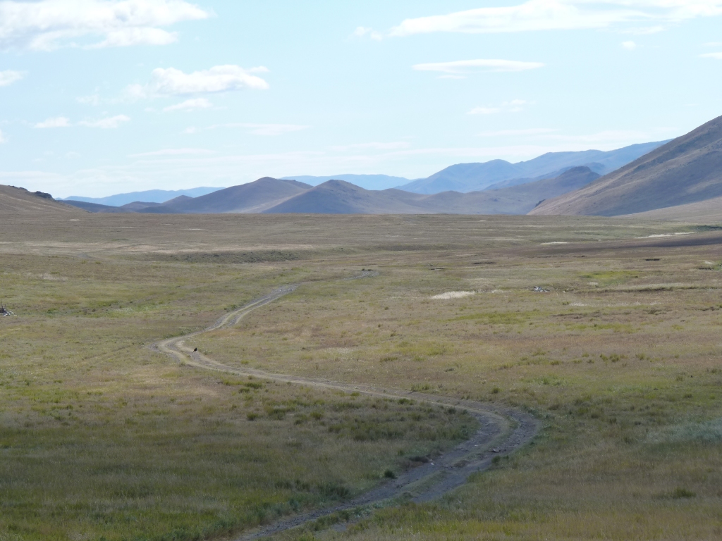
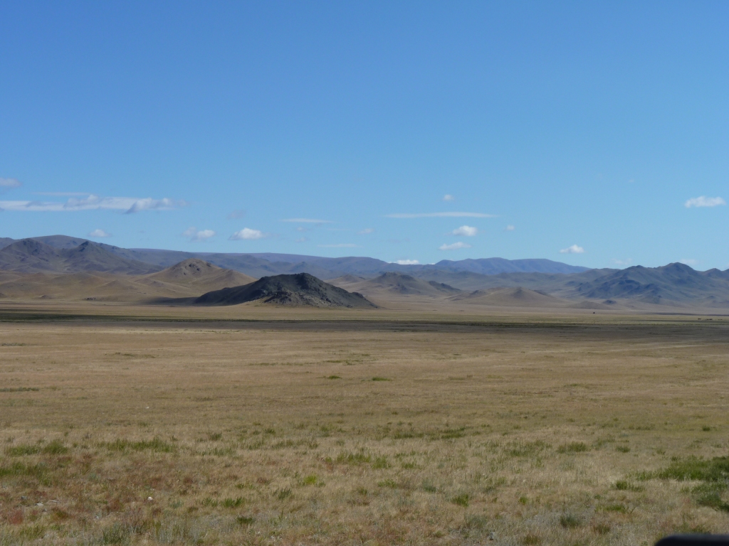
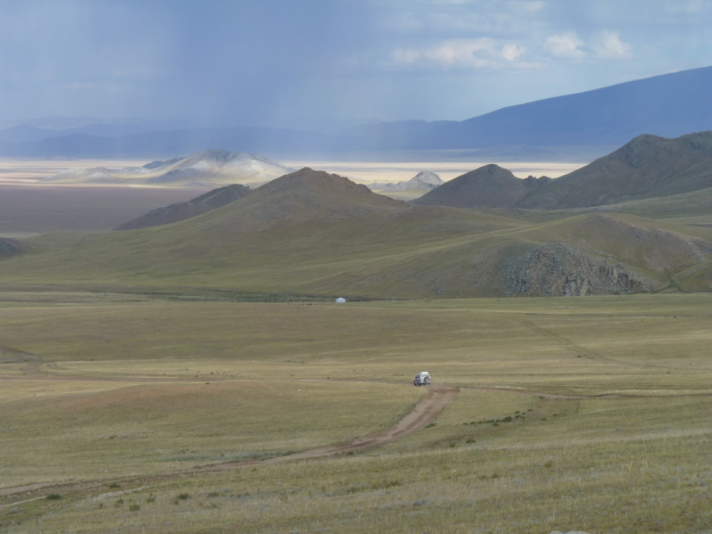
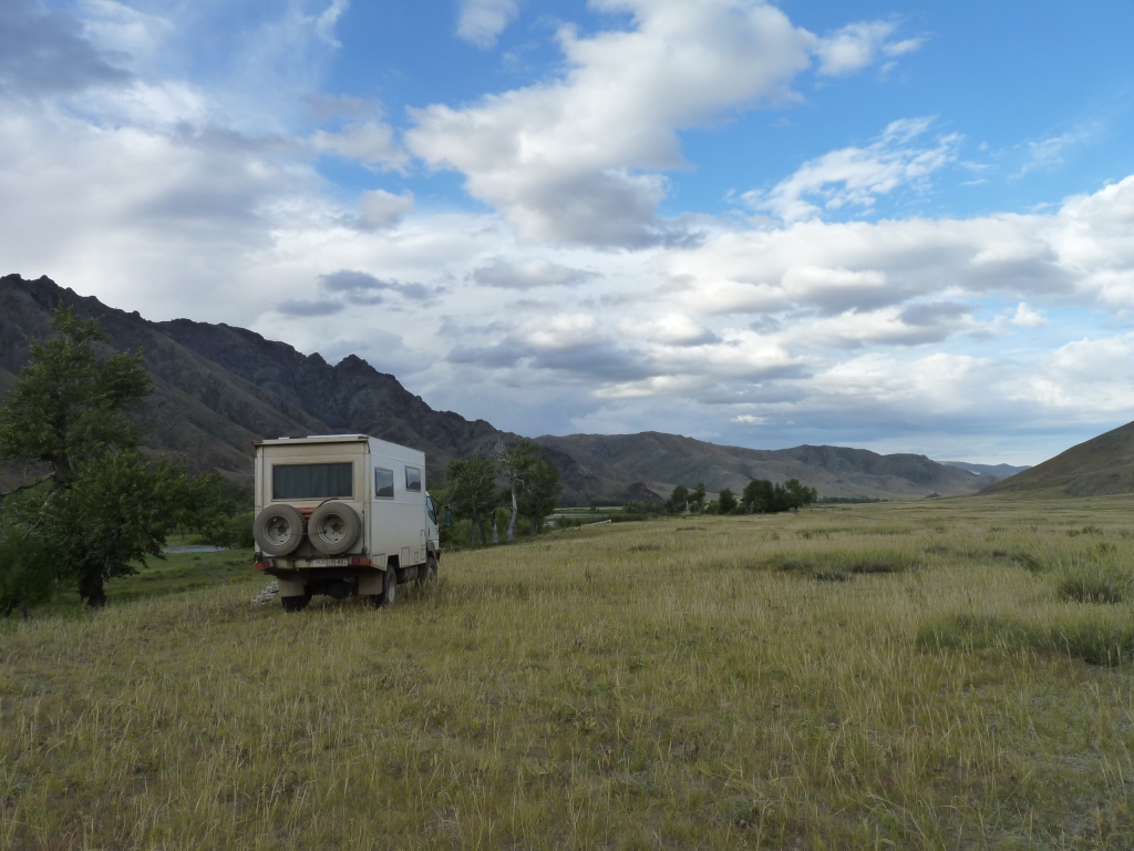
The valleys are wide and flat.
About 15 km South of Murun.
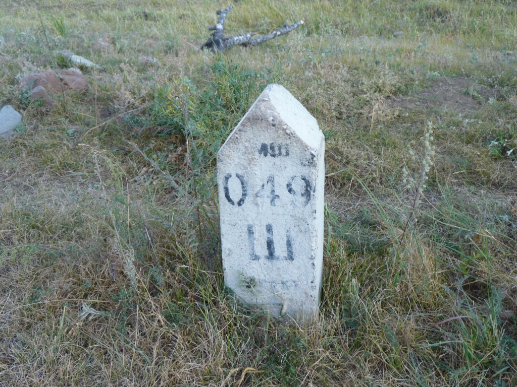
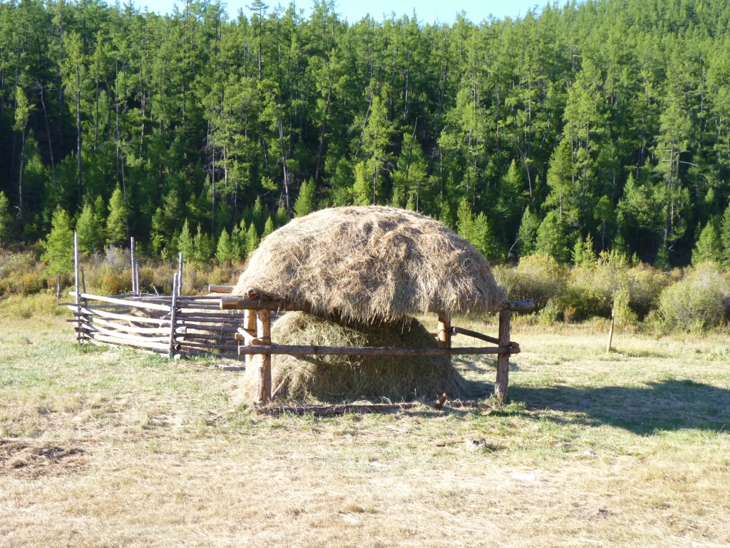
We have seen lots of these at regular intervals.
Perhaps a bit more evidence that maybe the comment we'd read about "no formal road system" was one of those nice sounding throw away remarks that are really meaningless.
Accordingly we have discarded the thought and are enjoying a road system that is different to what we are used.
At least that's what the compass tells us.
Its on the main road West from Murun.
Our junction, coming from the South, is just to the left of it.
And a supermarket.
Plus a tourist information office which was closed.
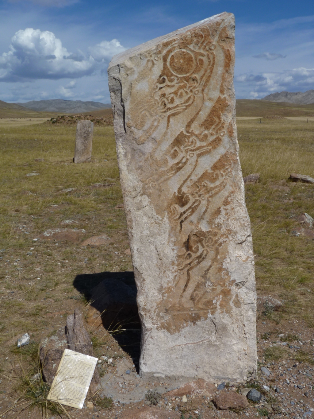
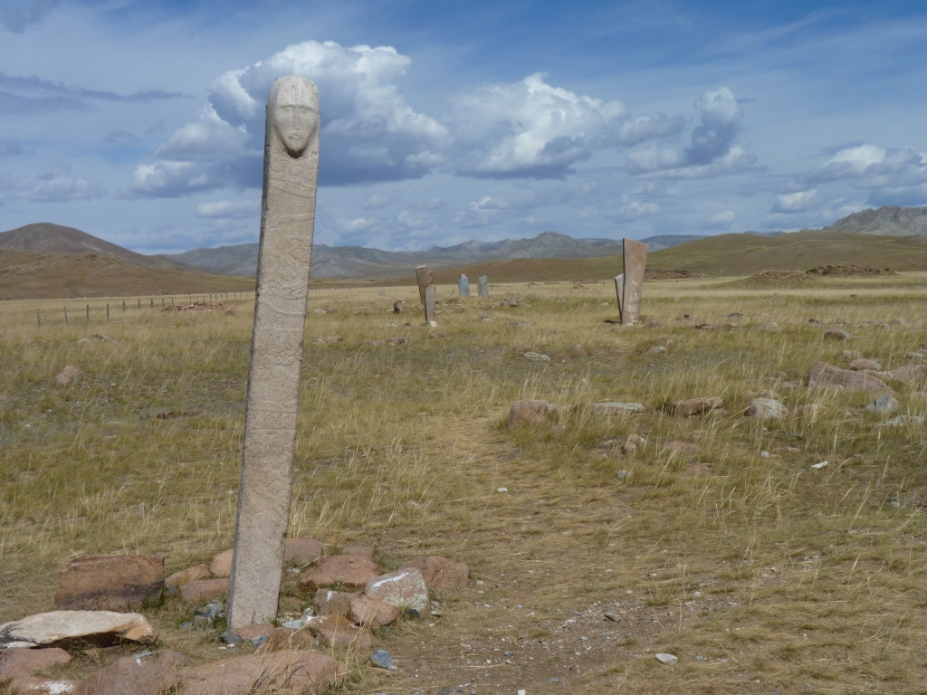
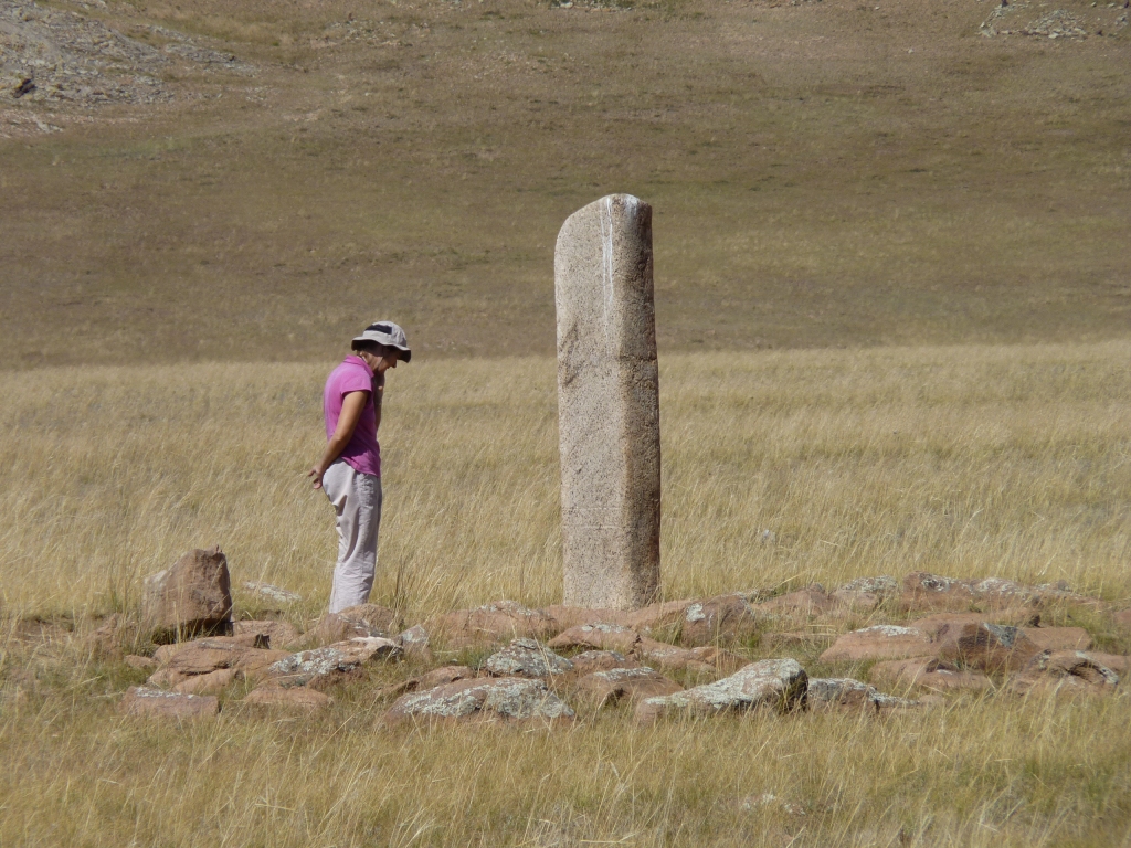
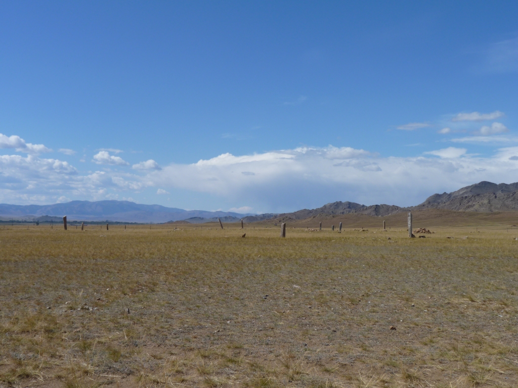
There are fourteen at this site.
Claimed to be among the most complete and best preserved of bronze age deer stone sites.
The ones we saw previously seemed well preserved to us. We've been wondering if they were more modern!
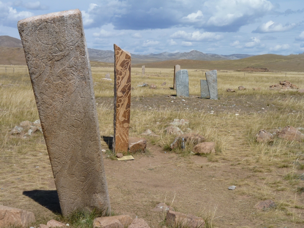
The second one from front is granite but had ochre added which helped the preservation.
A bit more like what we saw previously.
And here all the stones had a laminated printed card with a description of the stone.
Just a different spelling to what we saw previously.
And of course a different layout.
We would then return through Murun and head West.
Unfortunately common sense has us beaten.
At our current rate of progress, uncertainty about the condition of roads, and overall tiredness, we'll give the lake a miss, and head West. Nearer the border is a convenient lake to camp at and have a rest, once we know how much time we have.
We were too tired to decipher another sign post.
We've been relatively lucky with the weather. August can be rainy in the North of Mongolia, but that seems to have passed before we got here and the roads have dried out.
Despite the tiredness we are feeling quietly chuffed with ourselves.
When tired we find that our thoughts turn more often to what can go wrong. A potentially never ending spiral.
Murun was a bit of a milestone as we'd successfully crossed some fairly remote mountainous country.
Perhaps also a sense of relief.