Its surprising what a big difference contact with "home" makes. Thanks to all.
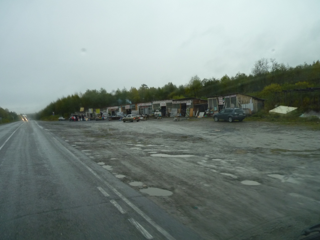
As others have noted there are some roadside shops on the western side of the Urals. Among other things selling stills for home brew.
For us it was a damp cold day and the warmth of the cab was overwhelmingly attractive. So no still photographs!
We passed Ufa which was on the Trans-Siberian Railway until early in the 20th century when another route, further north, was found through the Urals.
The mountains are old. Pre-cambrian, which is about as old as it gets. Originally there was a rift between the Siberian and European tectonic plates. Lots of sediment and ultrabasic rocks.
Then the plates started moving towards each other and in the carboniferous era a subduction zone was formed. The mountains were pushed up by granite intrusions and volcanic activity and metamorphosed, as the European plate dived under the Asian plate. Which explains that hard looking rock we found on our walk. The mountains were possibly as high as the Himalayas are today.
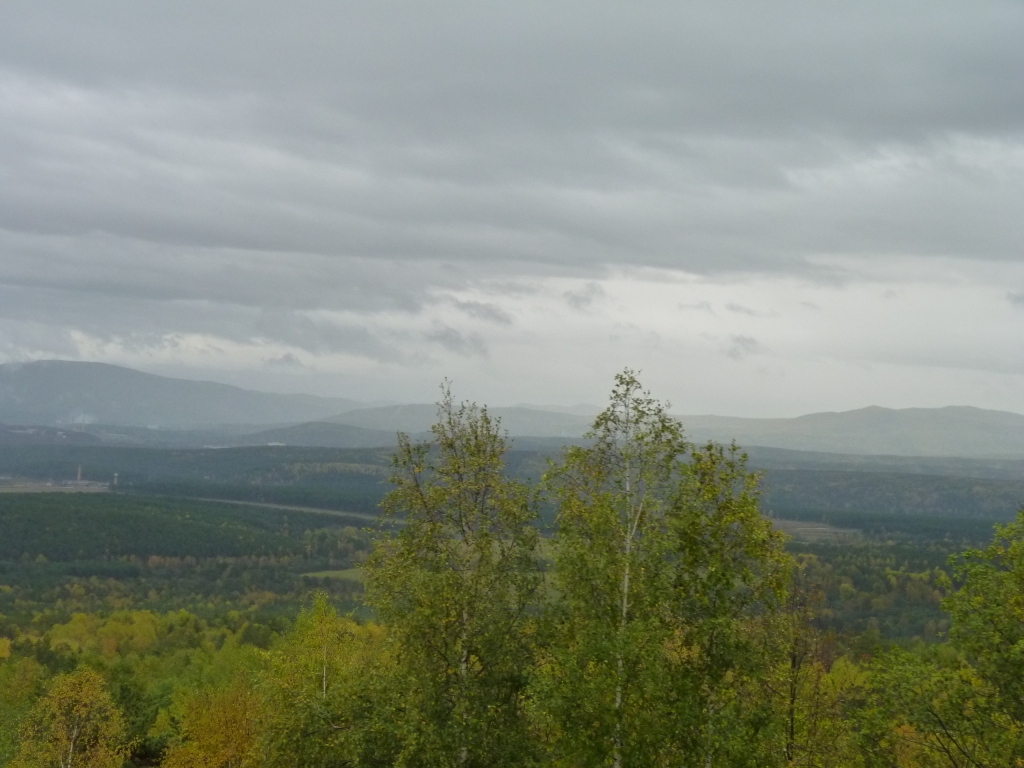
Then they all weathered and eroded away. Highest is now about 1900 m. The results of the weathering have ended up on the plains either side.
On the eastern side of the Urals is Perm. You guessed, it gave its name to Permian geological era (or is it a aeon?).
The Ob River (remember that from a few days ago) enters the Barents Sea just to the east of the Urals.
Of course the journey is far from over (does it ever end?), but a definite feeling that its getting easier again.
Its been nice to have shared a few moments of "are we really here" and "haven't we done well".
We crossed the Southern Urals. The width is about 250 km.
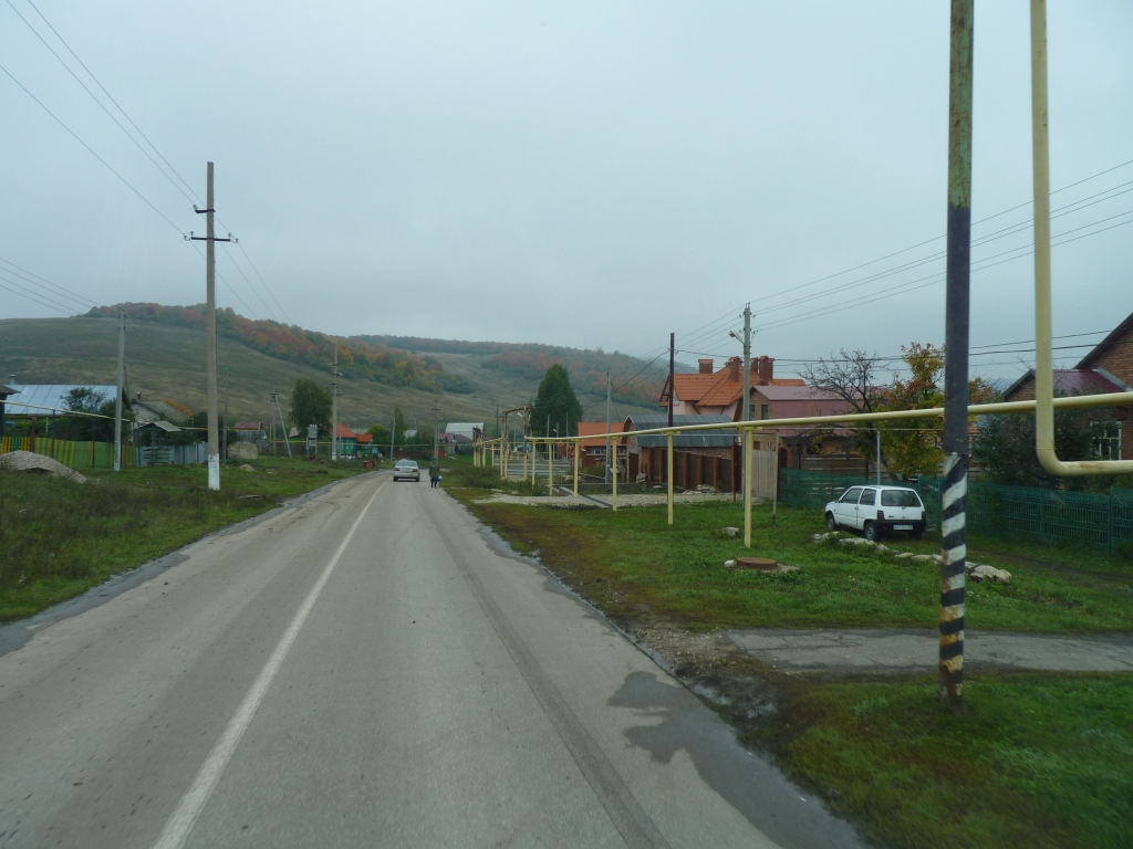
We are descending to rolling plain in well behaved traffic.
The central and polar Urals are a bit steeper.
Industrialisation based on minerals in the Urals began in the 1700's. Iron, copper, nickel, etc. There are also gemstones. A geologist's paradise.
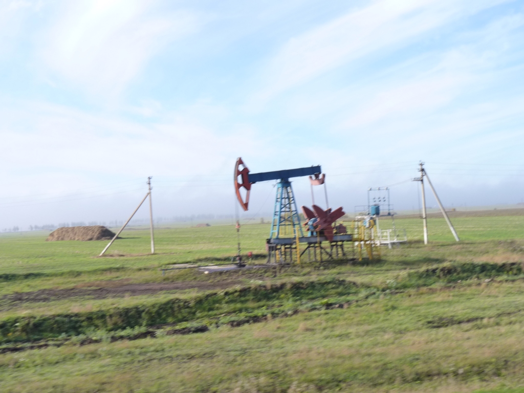
Russia had an oil boom (why diesel is so cheap?). There were many nodding donkeys (oil well pumps) not too far from the road.
Someone must have had a nodding donkey painting contract as most were brightly coloured.
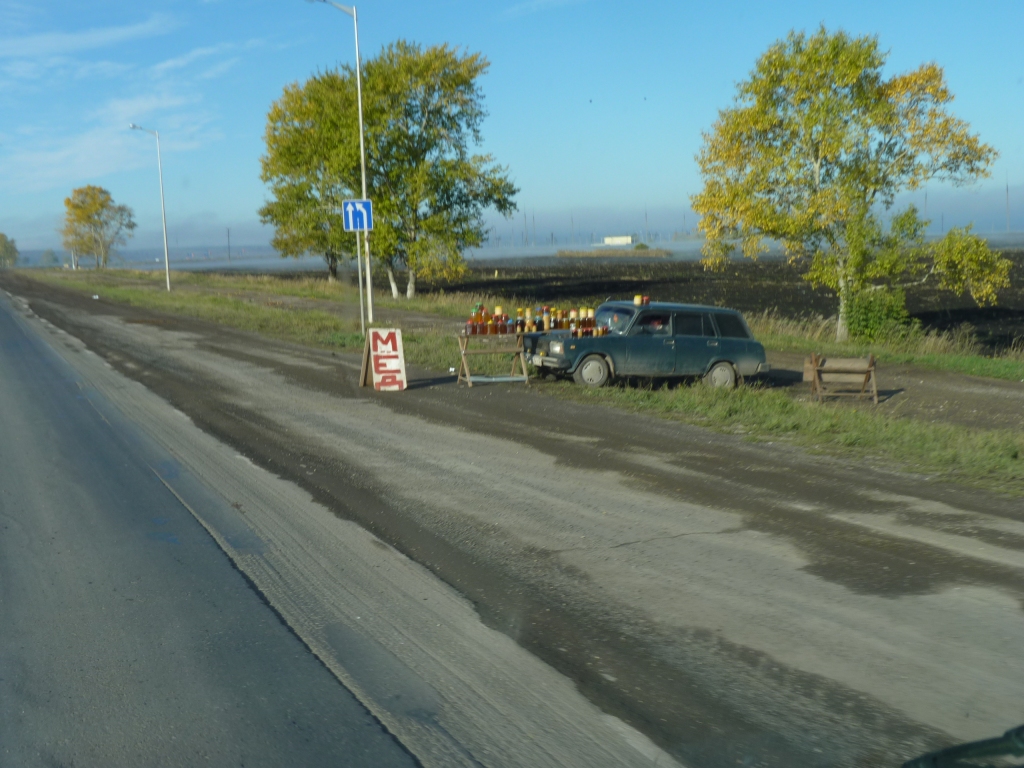
And don't forget the mushroom sellers. Recognisable by standard round plastic buckets full of ... mushrooms.
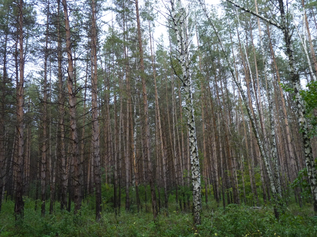
There is apparently a problem with the large number of mushroom hunters having an adverse effect on all the woods.
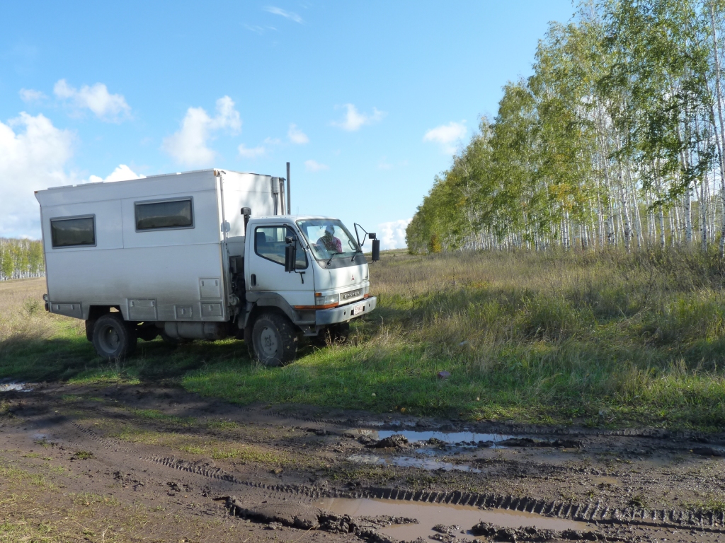
We don't like mud, and haven't quite found the right gear in Tardis on many occasions, but we slipped and slid down a slight incline into a dip then up a slight incline to somewhere quiet. Then slipped and slid the other way after lunch.
A fine line between a quiet lunch and feeling incredibly silly stuck in some mud unnecessarily.
This time lunch was good.
We were headed to Samara Bend National Park.
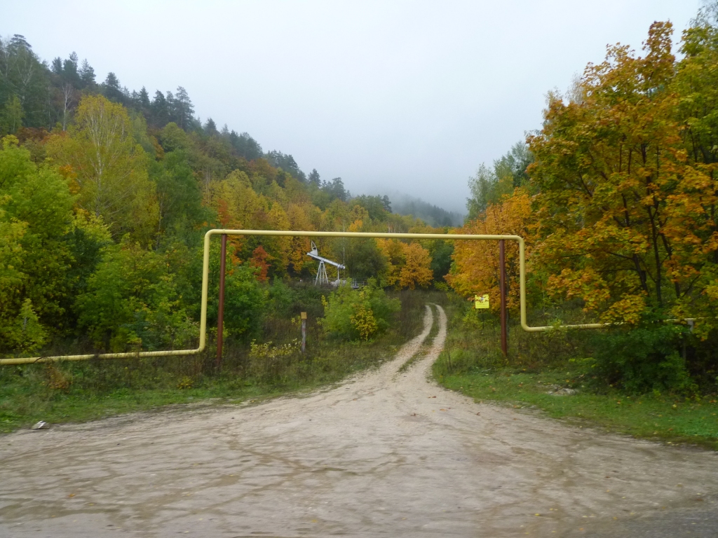
About 50 km short we spotted a nice little track and decided to stop. A good move as it turned out.
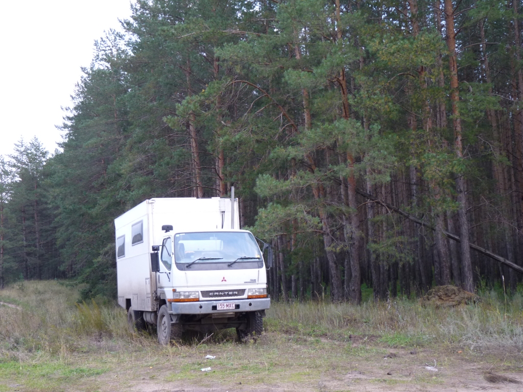
The track led through a pine plantation with a clearing for a pipeline which we adopted as home for the night.
A couple of mushroom pickers drove past with nary a second look.
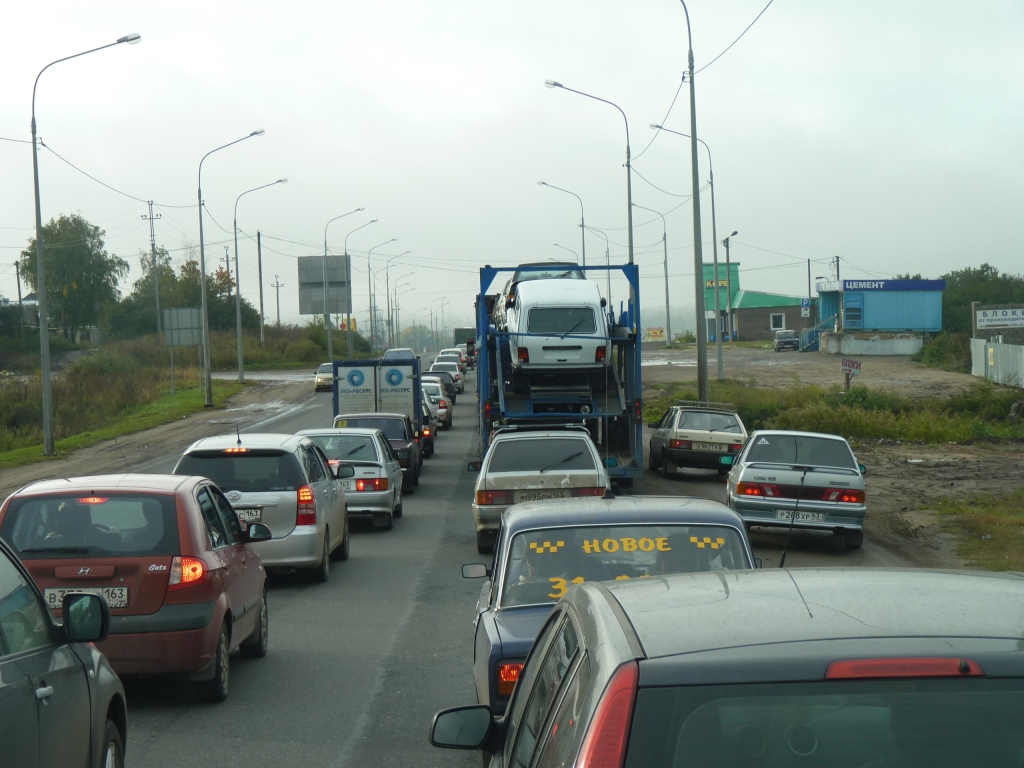
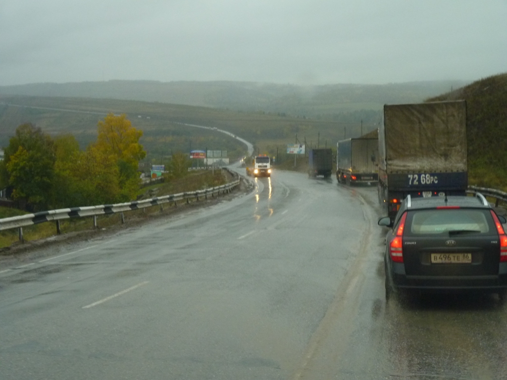
Welcome to Europe. Our first traffic jam.
There are two lanes of traffic (that third lane isn't really there, its the dirt on the side of the road) merging into one lane to cross a very unlevel level crossing.
We'd had high hopes for the M5 which was a blue line on the map just before this. Not to be. It was far from motorway standard. This was just one step worse.
Its the main road to Moscow, about 1,000 km to the west.
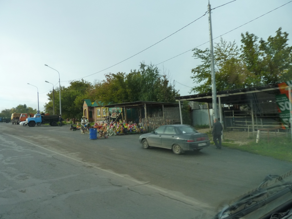
We assume there must be gardens somewhere for these garden gnomes.
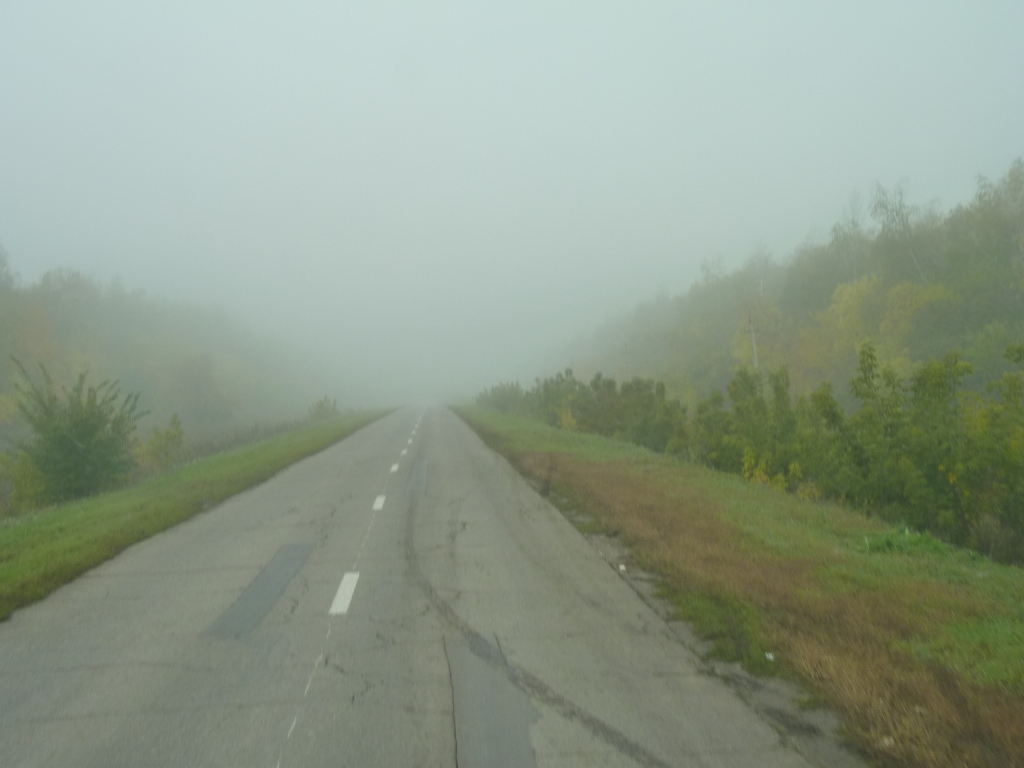
Just a brief spell of mist to have us wonder what we were headed into, it got better shortly after this.
We've perhaps unkindly come to the conclusion that the normal Russian approach to not being understood is almost identical to the American one. Say the same thing louder.
Occasionally we've struck a more constructive approach.
The names in this little anecdote are real (truly I didn't invent them!) as no-one needs protecting.
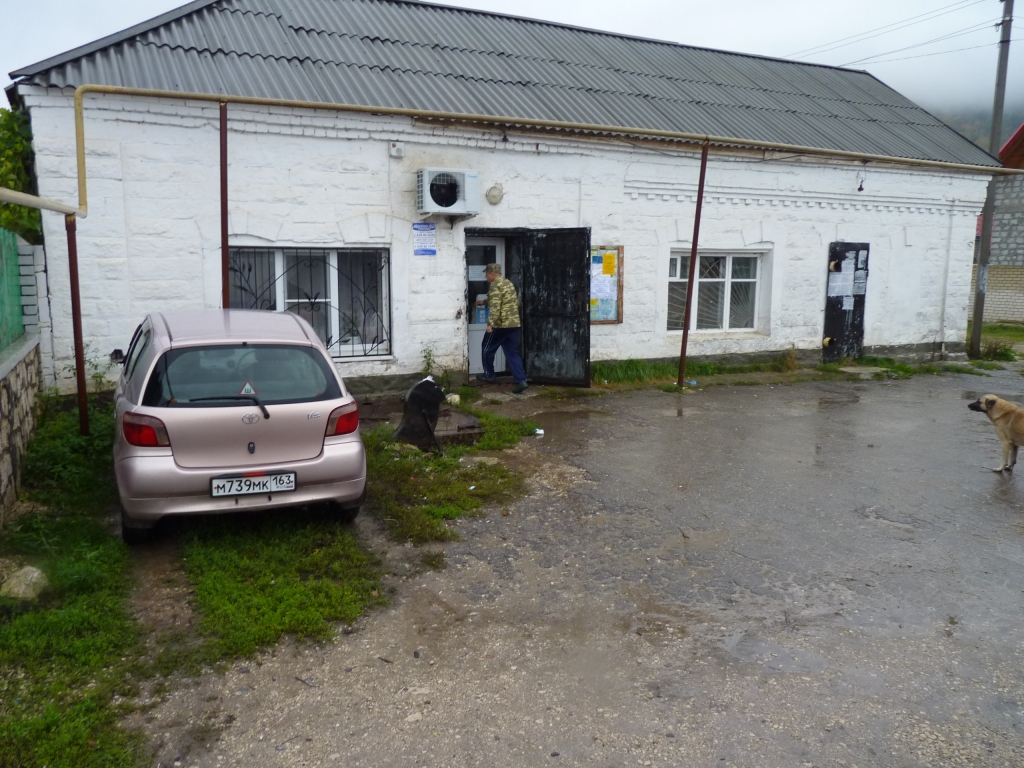
We tried the post office and were adopted by Viktor. We followed him to Tatiana's house, she spoke English. That's Viktor's car in the photo. We know how to follow the leader after Susanna's training in China. Boris was summoned and he explained through Tania where the park was and how it worked. Boris phoned the park director and we think checked that we could camp. We then followed Viktor to the park entrance to meet the park director.
All in all a remarkable bit of help from total strangers for which we are grateful as always. Thanks Viktor for really going out of your way..
There's a small area for tenting, a loo and tables, but nothing for motorhoming. The Volga river for water.
We are camped just outside in the car park, which is free, instead of just inside, which is R50. It will be R100 to walk in the park.
We did detect the same sad thoughts we'd met at a couple of places in China - along the lines of "it used to be open until a couple of years ago when they closed it".
While following Viktor through the streets of Zhiguli we also figured out that perhaps those yellow painted overhead pipes were reticulated water rather than heat.
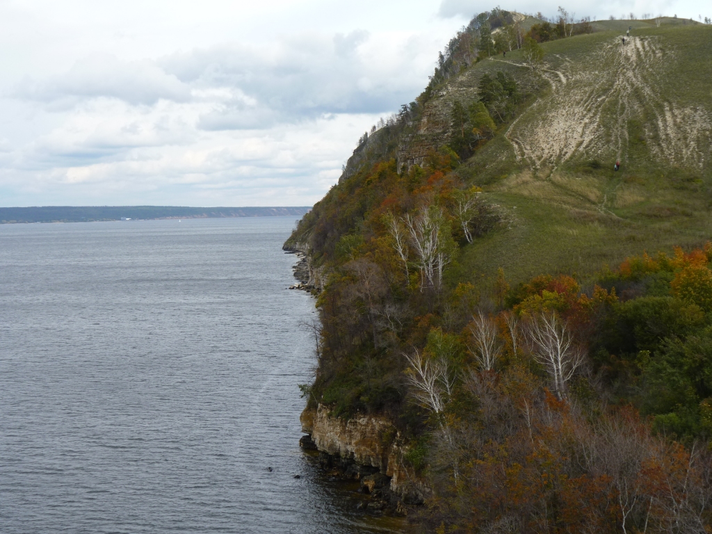
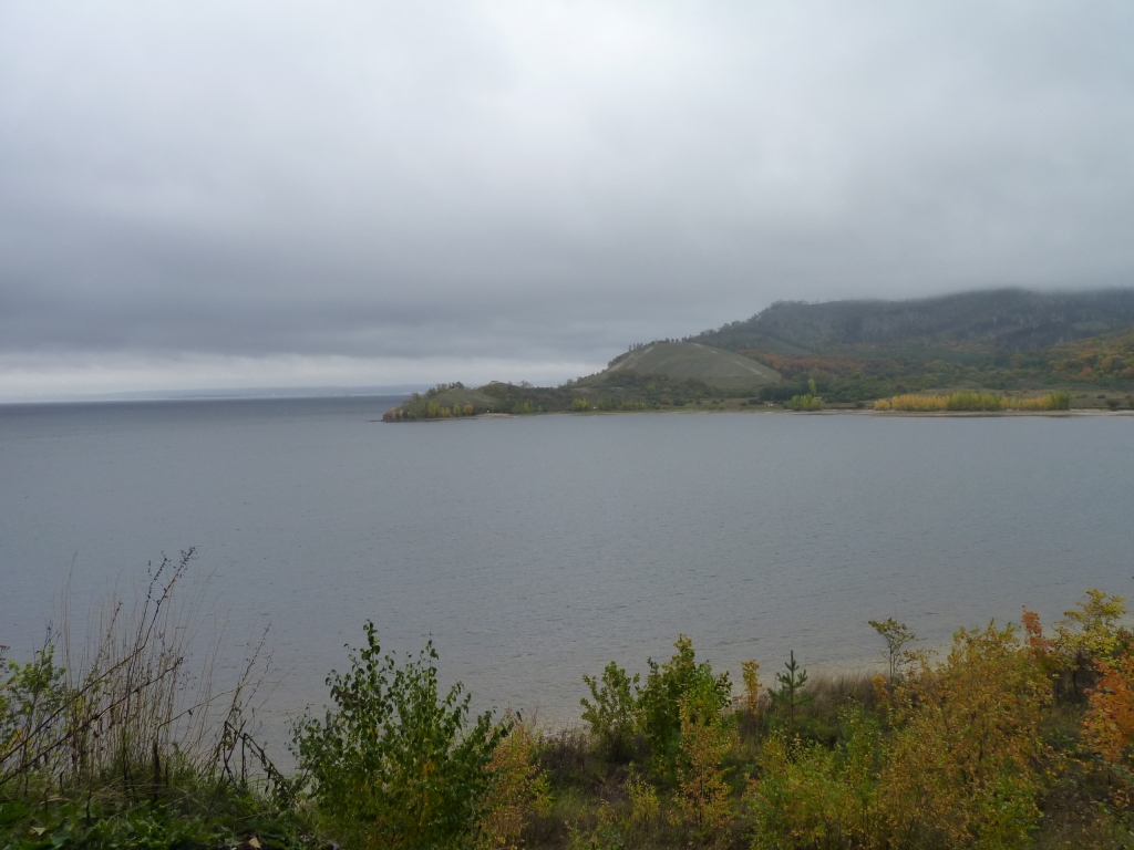
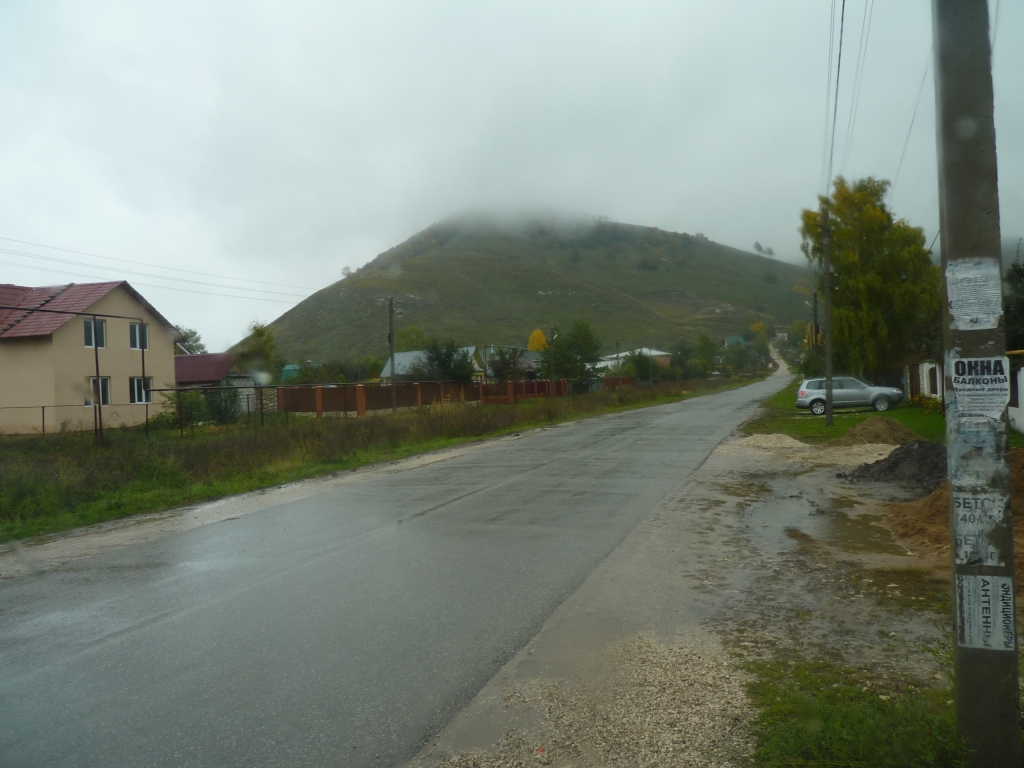
A cliff rising from the Volga River?
The Zhiguli Hills (maximum height 370m, the river is at 65m above sea level). A geological oddity! Metamorphosed rocks rising above the Russian Plain.
The Volga flows north to south. The Zhiguli Hills form a barrier so the river turns east, then meets the foothills of the Urals and turns south, then west, then resumes its southerly flow.
The bend nearly connects with itself, almost forming an island. The bit in the middle of the Samara Bend has its own micro-climate with all sorts of distinctive flora and fauna.
All hibernating for the winter if our lack of even hearing a bird is anything to go by.
There's also a long history of human occupation.
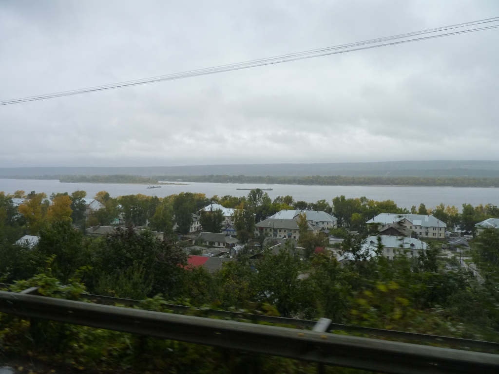
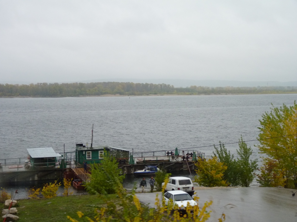
The river has a weir, that we drove across, a few km downstream (on the west-east stretch) so there's quite a large lake formed.
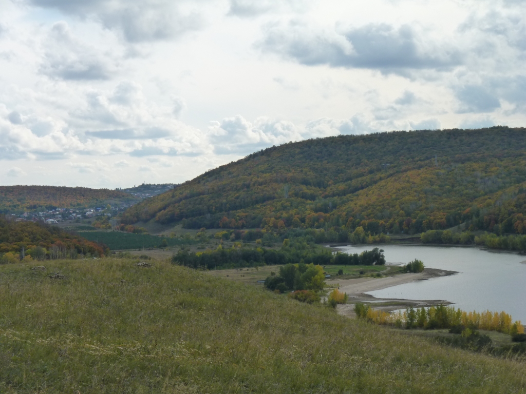
Looking back up a small river and inlet to Zhiguli.
The second inlet to the left is the Usa River. Its that river that nearly closes the loop and forms an island.
The Volga flows from the right, almost opposite, but a few km away across the lake.
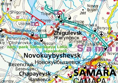
The red arrow ends where we are camped.
Coordinates (of park entry) are N53.3925, E49.3020
Zhiguli is not marked, and is not to be confused with Zhigulevsk.
That narrow isthmus on which is the E30, between the Usa River coming in from the left and the Volga leaving to the left, is all that stops it being an island.
The crossing north of Zhigulevsk is the weir - complete with hydro scheme and locks.
When we leave here we'll follow the E30 to the west but turn south after about 80 km. Hopefully all the traffic is west bound for Moscow!
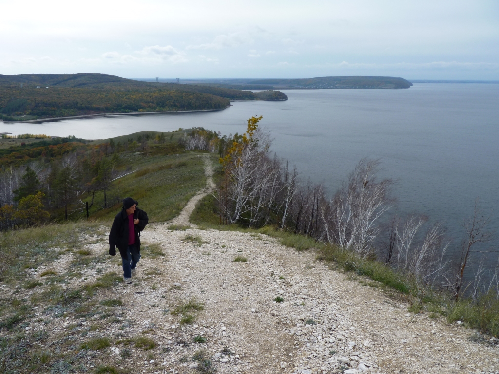
This is our campsite for the night, the cars will all leave soon.
We enjoyed the walk and it looks like there's more on the other side of the small inlet.
We started by driving at least a km to the other side of that small inlet.
The hills are the ones that we walked up yesterday.
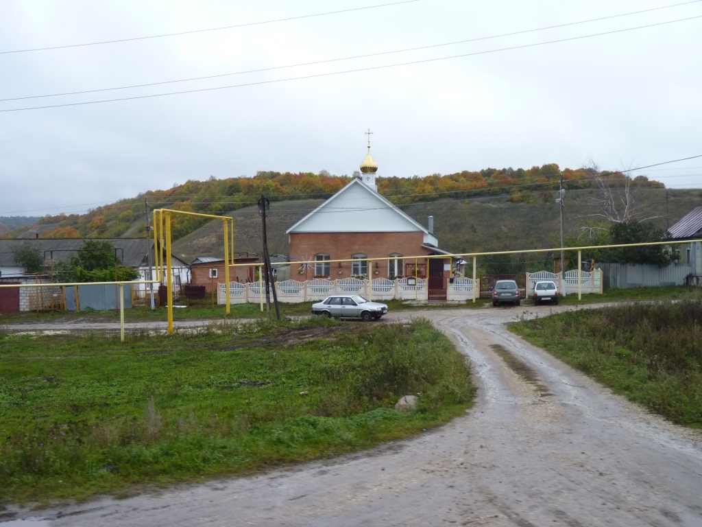
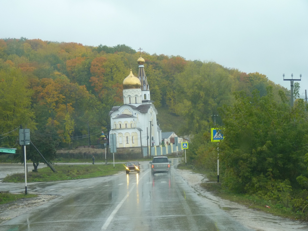
We haven't noticed many religious buildings in Russia so far (apart from a magnificient wooden church in Gorno that we didn't photograph).
Between the hills / road and the river were small villages.
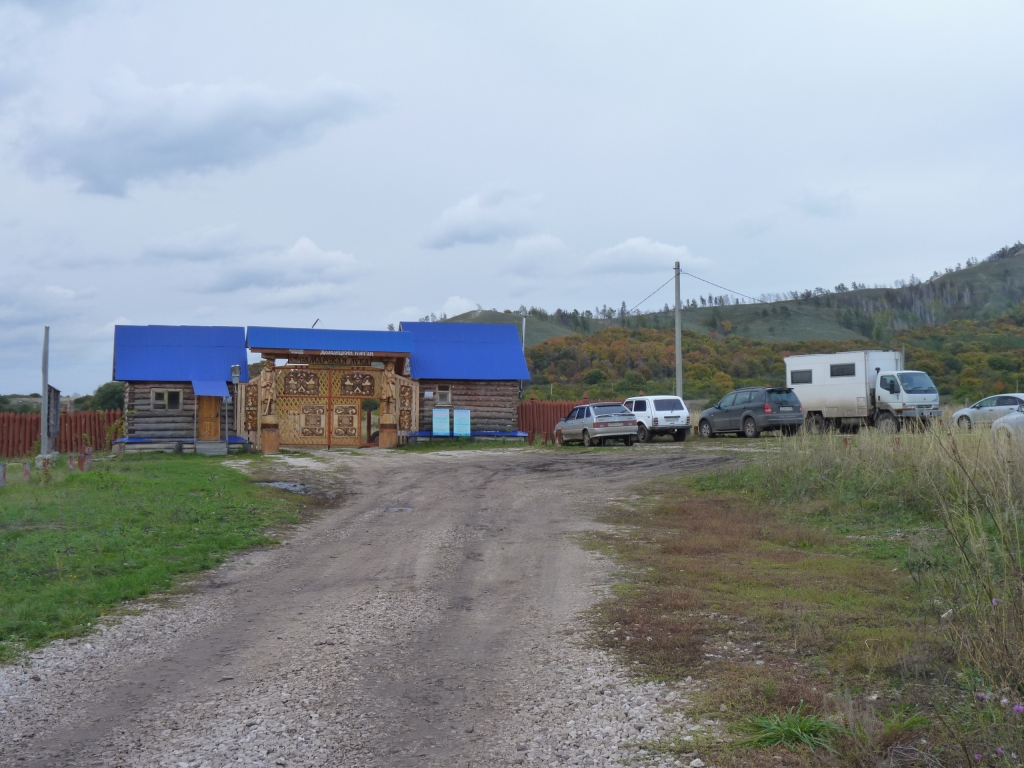
Shiryaevo is described as the place to stop and do some walks.
We stopped at this shop. Unfortunately there was a power cut so the cheese couldn't be weighed and the mobile phone recharging machine didn''t work.
When asked where the national park was people replied with the equivalent of "all around us".
So we drove round the corner and stopped for lunch.
It seemed something was being set up and it looked like we would be in the way so after lunch we turned round to drive back to Zhiguli. We'd figured this part of the river was a bit too populated for there to be many easily found campsites.
The likely ones we'd seen were very muddy.
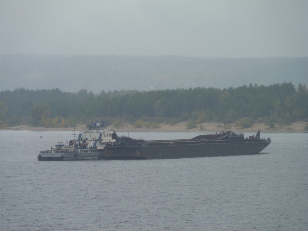
This is the nearest we got to one.
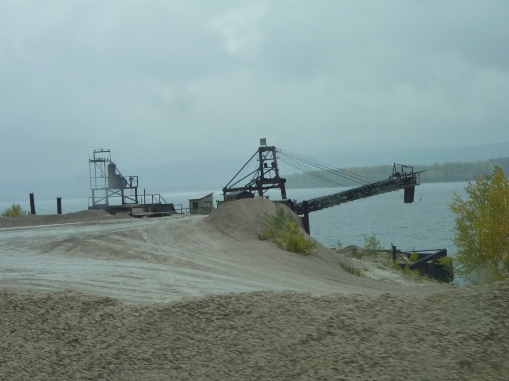
It looked to be too big an operation to be just digging it out of the riverbank.
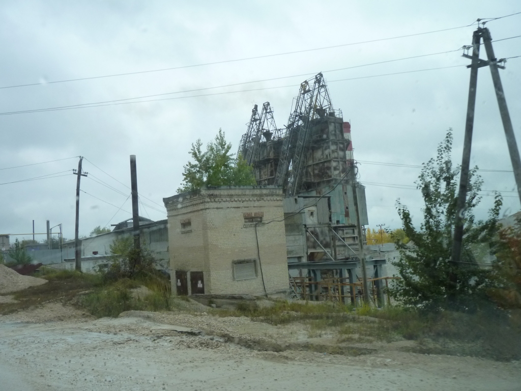
One day I'll find the time to research.
Managed a quick photo on the way out.
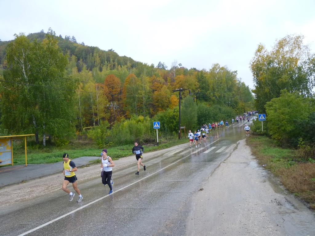
It was the finish to the local marathon / half marathon.
It looked like a large well run event.
We stopped to let them all past, while feeling embarrassed at not having climbed that hill.
Feeling really lazy we returned to Zhiguli, to our safe known camp site.