Part of the Golden Horde of Mongolians.
Some time after WWII Stalin moved the entire Tatar population to Siberia.
Some of them have returned since Ukrainian independence but are having a bit of difficulty with property rights and other minor vestiges of living.
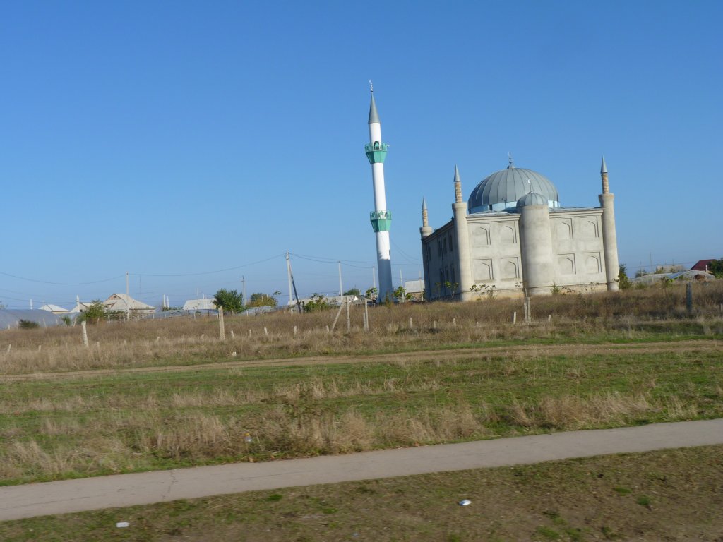
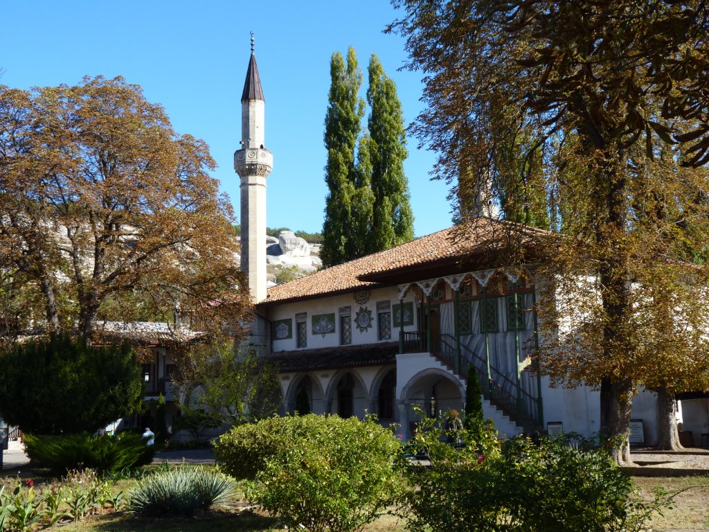
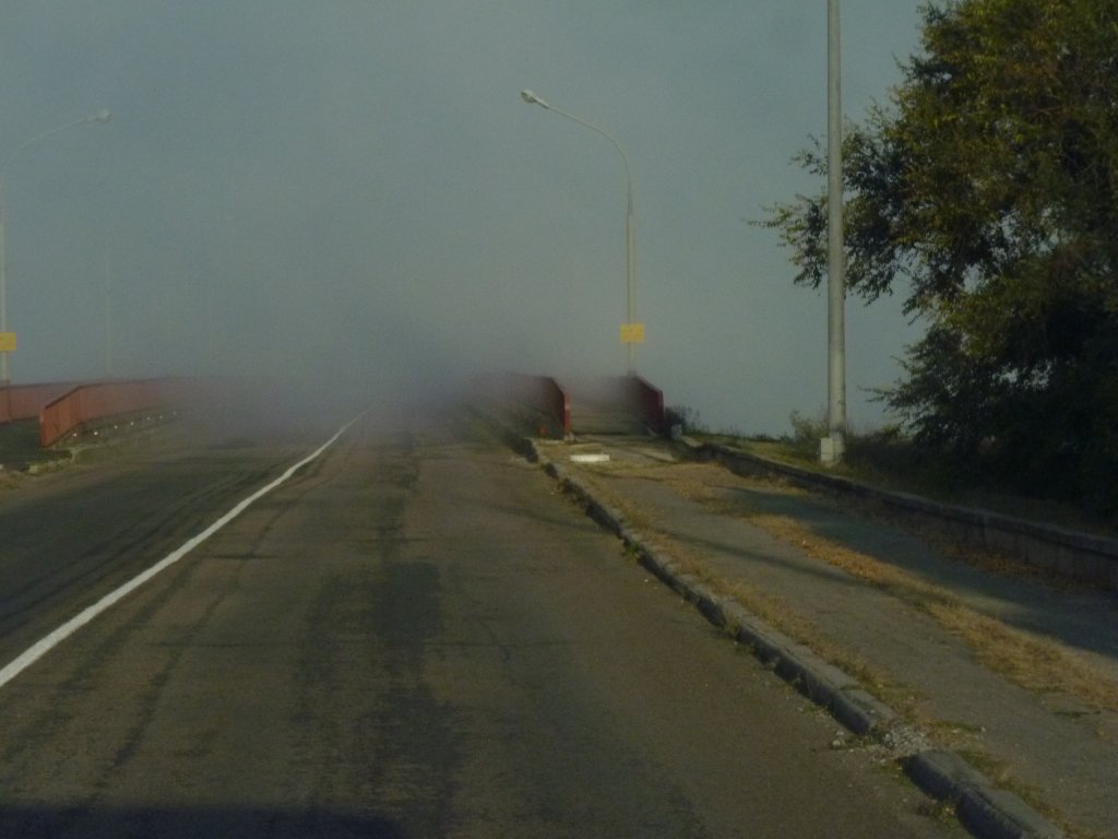
We have entered a part of Europe which has had a tumultuous distant and recent history.
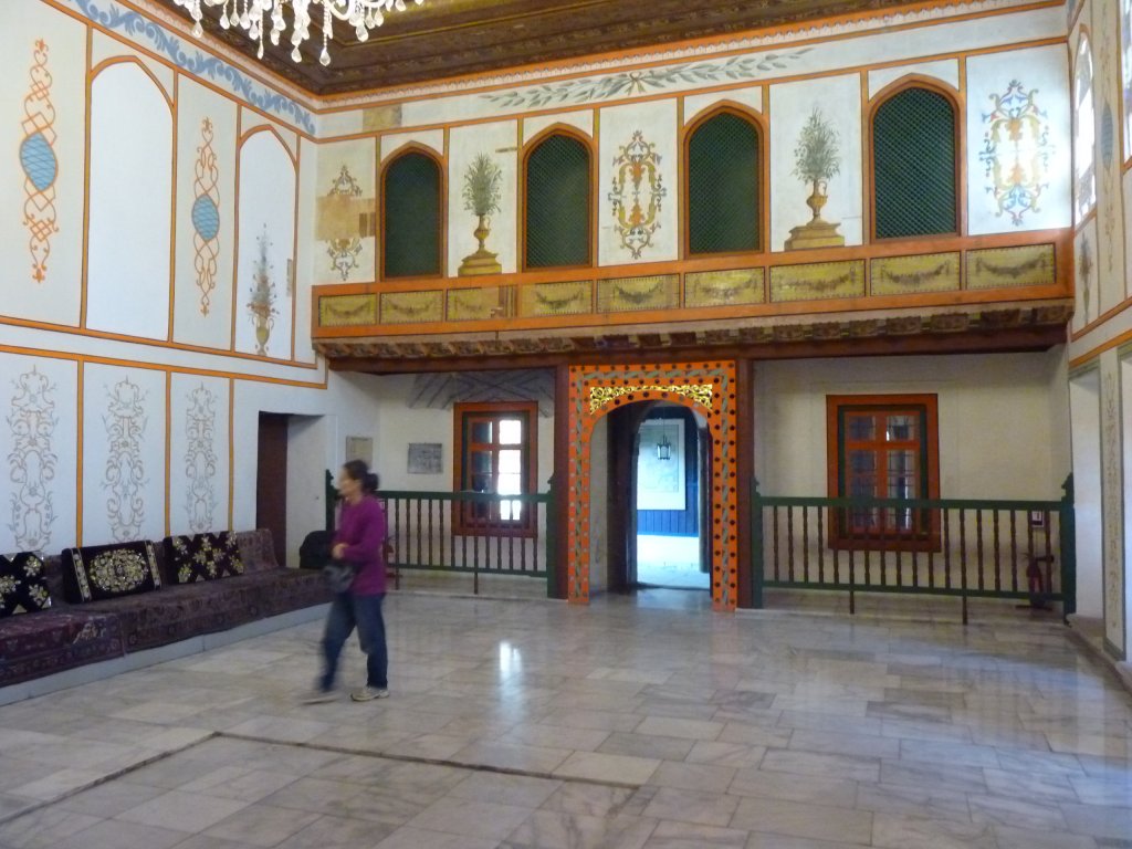
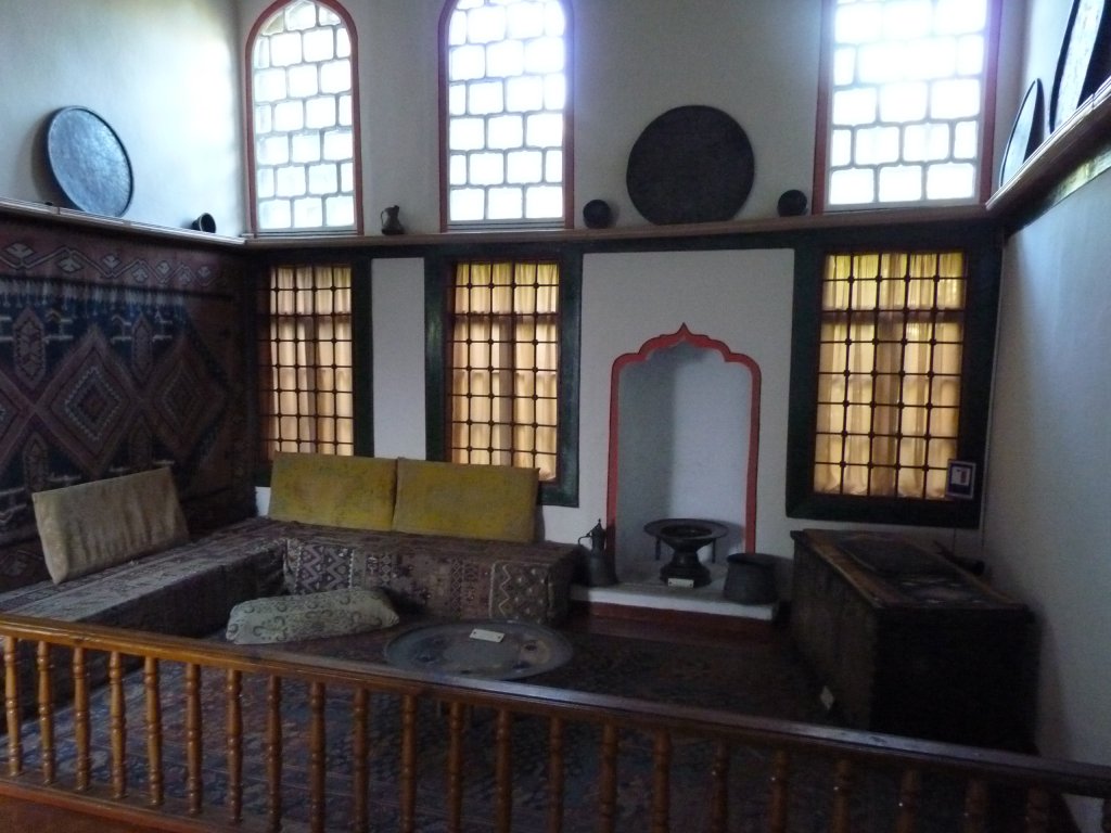
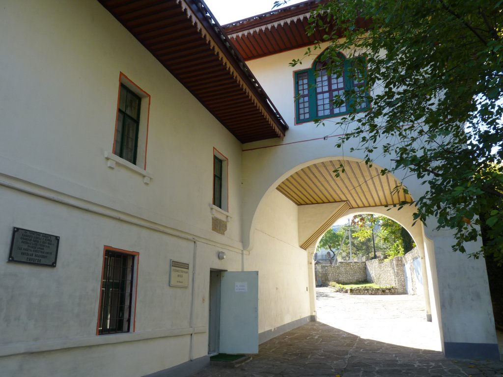
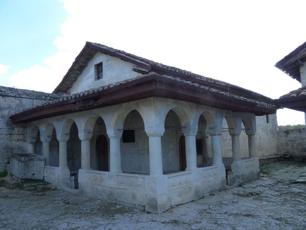
It was the Tatar capital of Crimea. This is the inside of the Khan's Palace.
There was an art museum through the door.
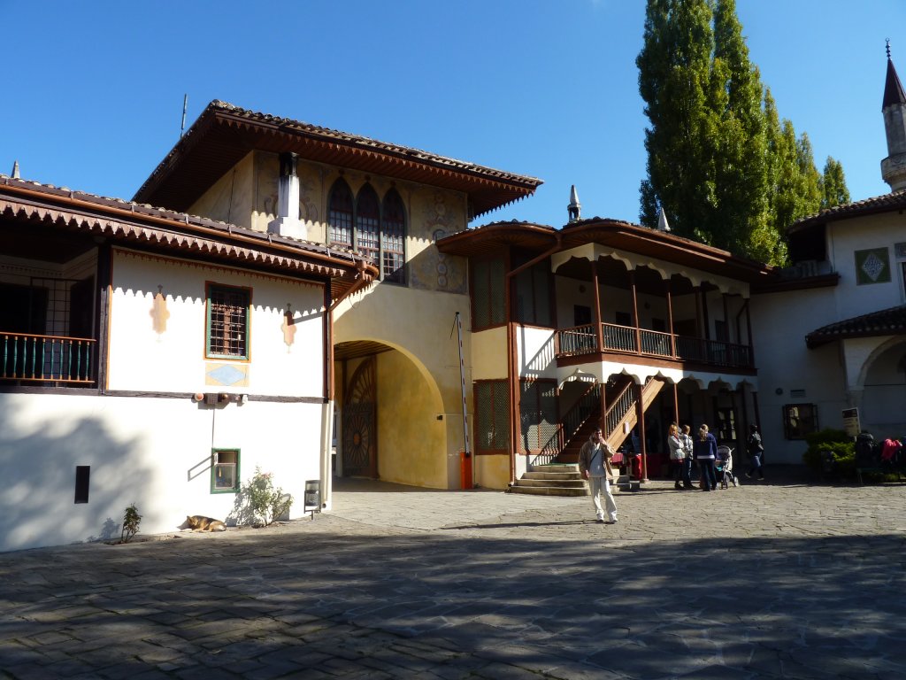
The museum was large and showed many aspects of Tatar life. Particularly their craftsmanship.
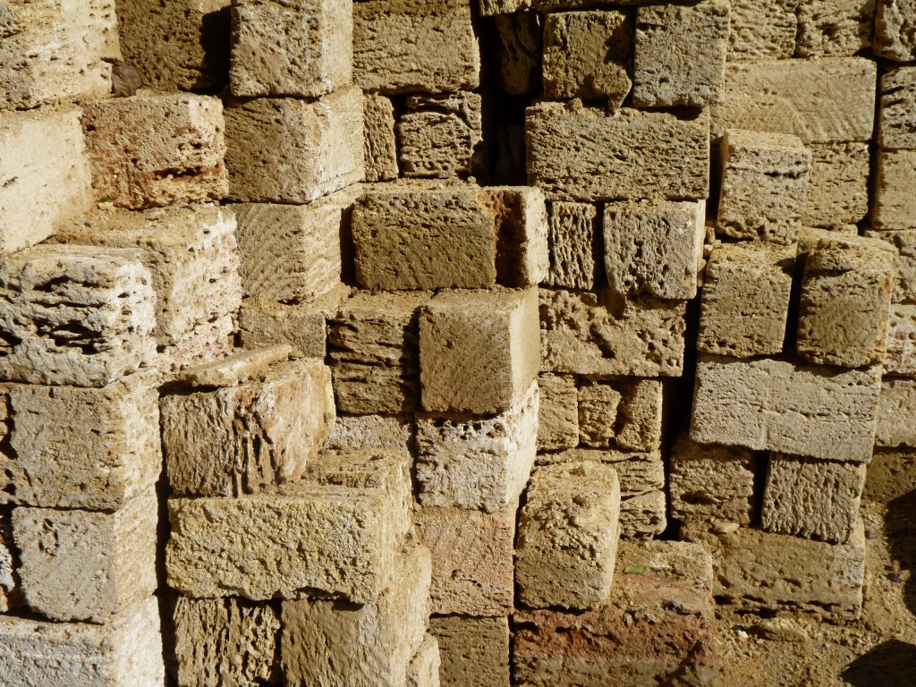
These are blocks of volcanic stone. About twice the size of bricks. They've been cut with a saw.
We saw houses built with these, then an external plaster veneer applied.
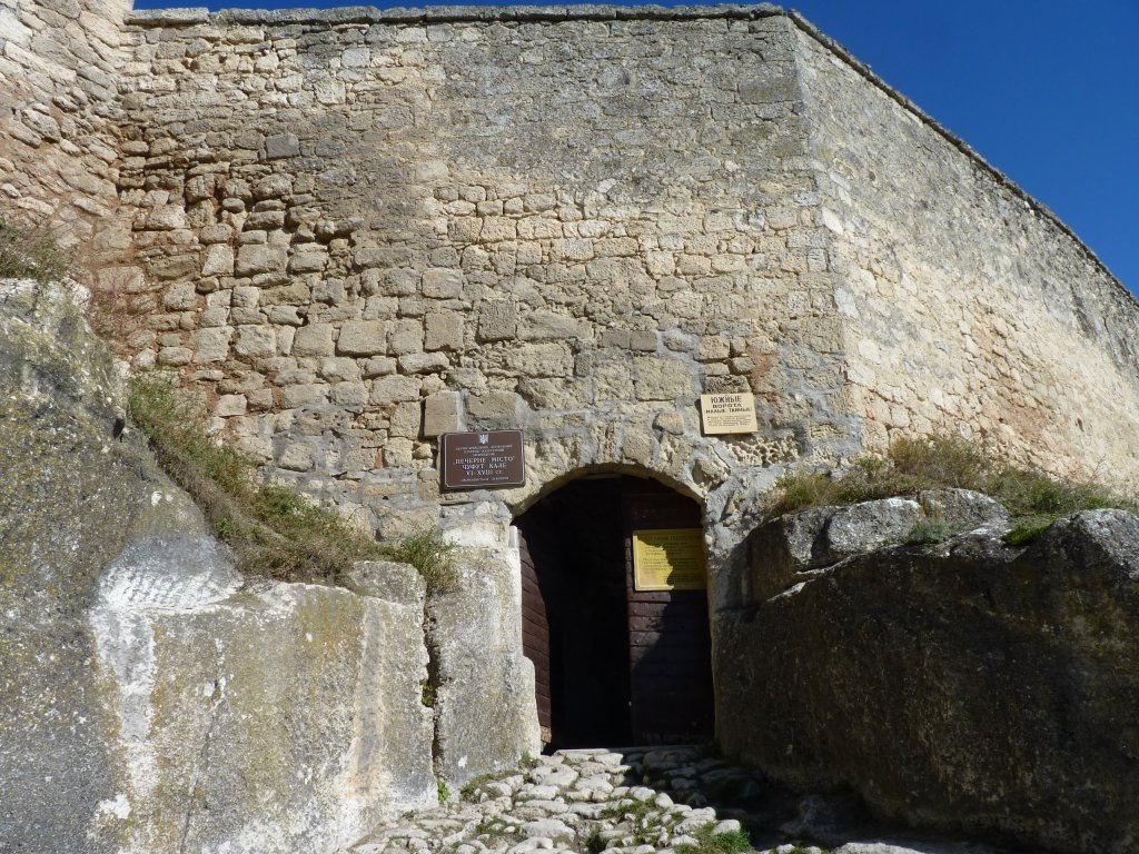
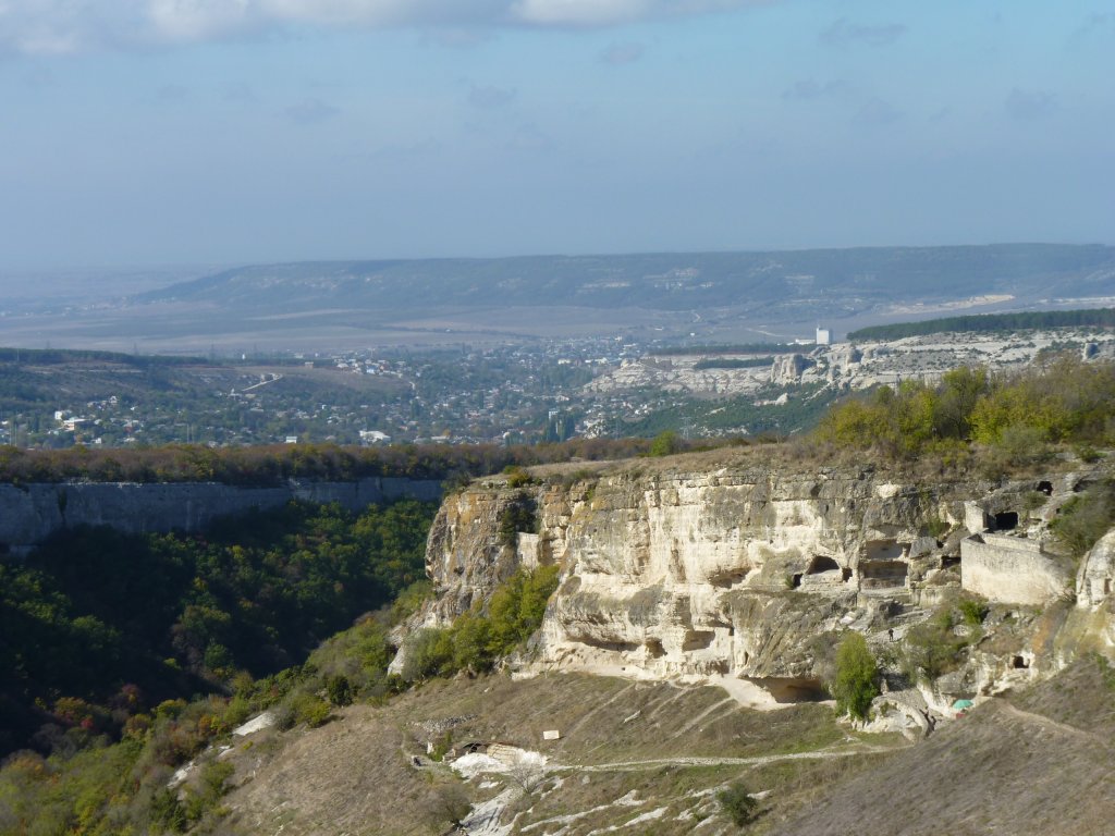
Described as a cave city which had us sort of excited.
For us perhaps better described as a hill top fortress with some cave dwellings. Then again, maybe we missed most of the caves.
Like most things on this journey we had to go see to figure out what the descriptions really meant. We don't feel the least bit in touch with the thoughts of the guide book and travel writers.
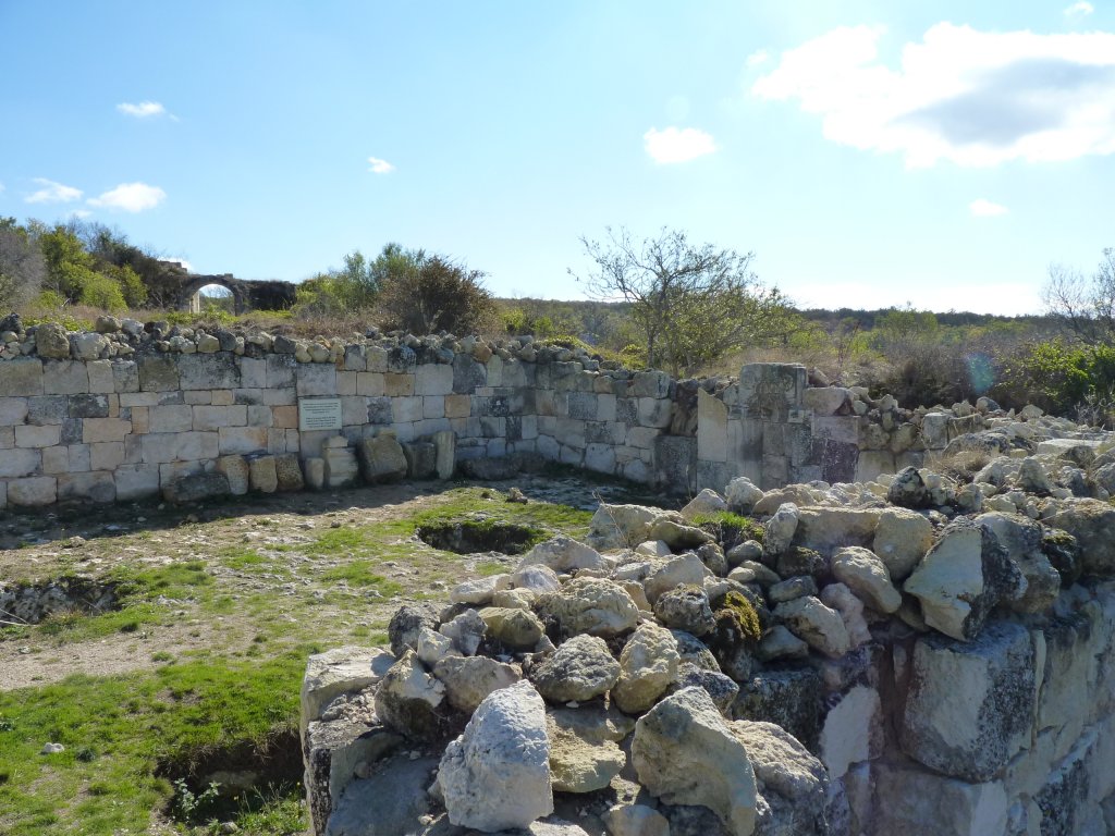
Our first clue that perhaps most of the city was above ground.
The city was first settled by Christianised Sarmatian tribes somewhere in 6th to 12th centuries. Then the last of the Golden Horde took over after being defeated elsewhere, around 1346 before establishing their Khanate in Bakhchisaray a century later. As the Tatars moved out the Jews moved in.
Sounds like that at some time everyone had to hide from everyone else!
The mosque had also been rebuilt once since being first built.
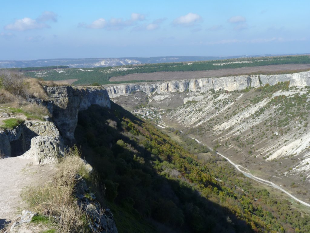
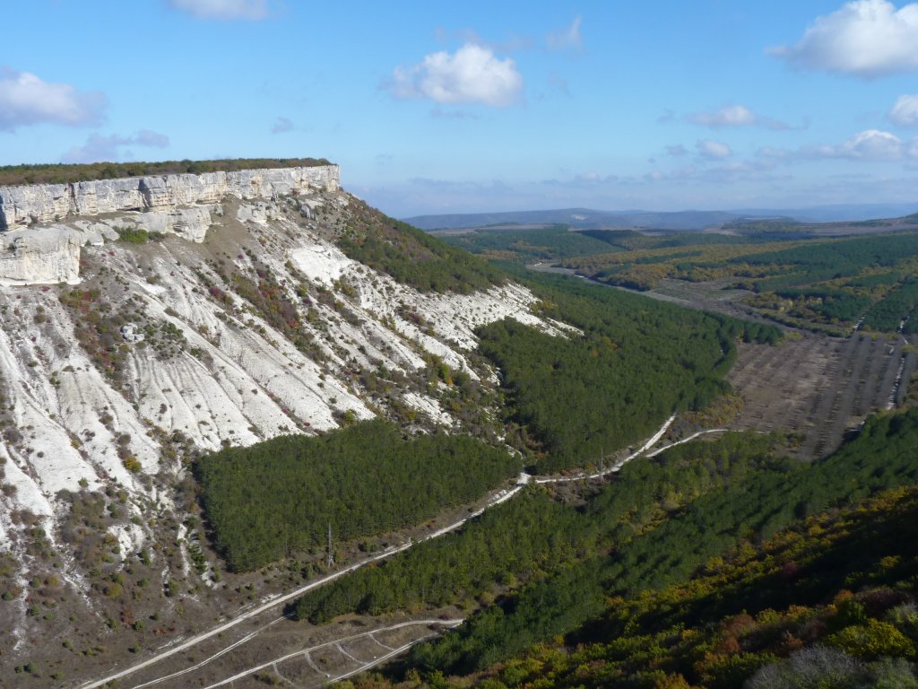
Ideal for cave dwelling.
There's a village in the bottom of the valley.
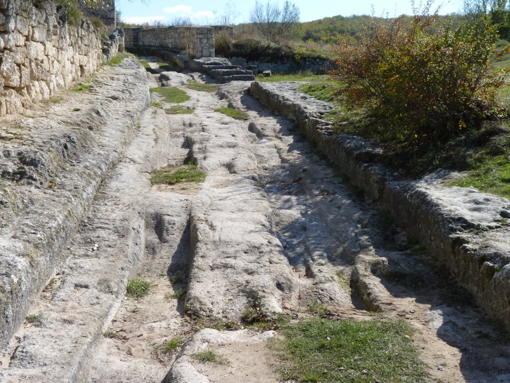
Those grooves are of cart wheels.
We've seen pedestrian ways either side in other places around the Mediterranean.
The wheel marks of course reminded us of wheel marks we saw in the ancient road in China.
Different here though. Perhaps the lack of standardisation of wheel track width meant the road lasted a few years longer. Though I'll bet it was just as rough to ride over.
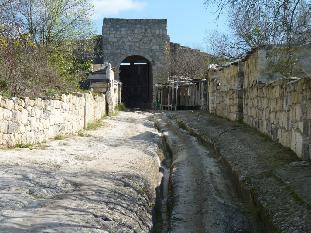
The wheel ruts are deep enough to challenge the best of 4wd clearance.
The buildings either side are a paper thin facade.
On the far side of the gate a car was parked. We'd walked a couple of km to the main entrance.
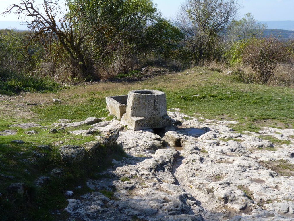
It drained from the main road and looked like it was a water supply.
Outside of the main entrance was a large well, dug 120m into the rock below the cliff.
We could have climbed down the spiral stairs to the bottom but decided not to (we would have to climb up again!).
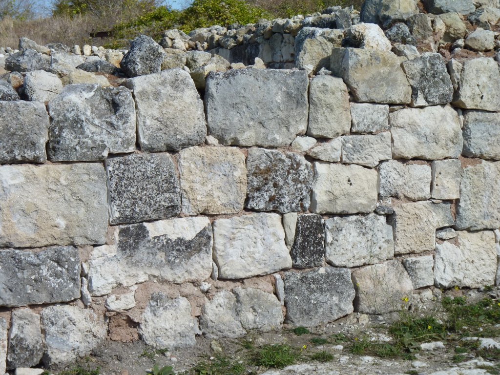
The rock must have been cut to whatever size it looked like it could be best cut to. Then fitted together by cutting bits out and adding small stones.
On the way down we stopped briefly at the Uspensky Monastery. Built partly into the side of the cliff. Lots of "no photos" signs.
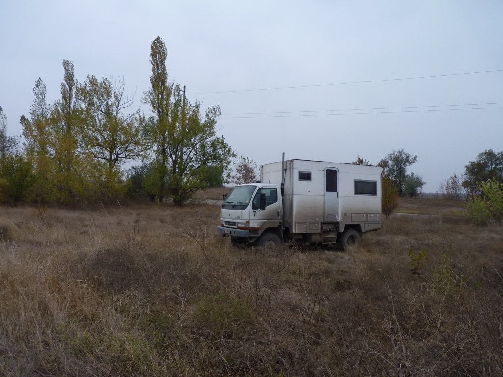
We found a convenient canal with a track off the main road alongside it.
After a couple of km we camped beside an old pump house.
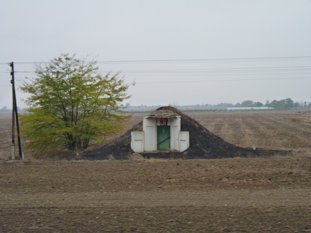
Not Acacia Avenue. We know not what.
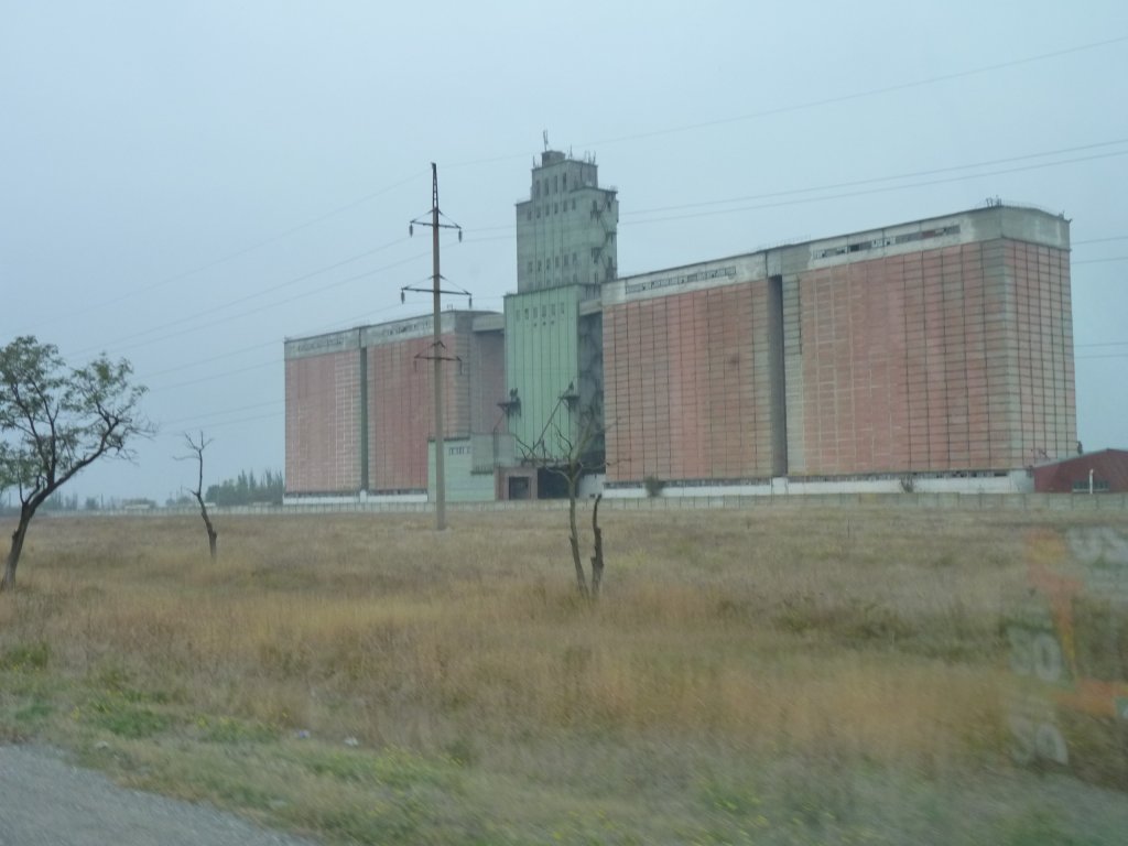
They look vaguely military.
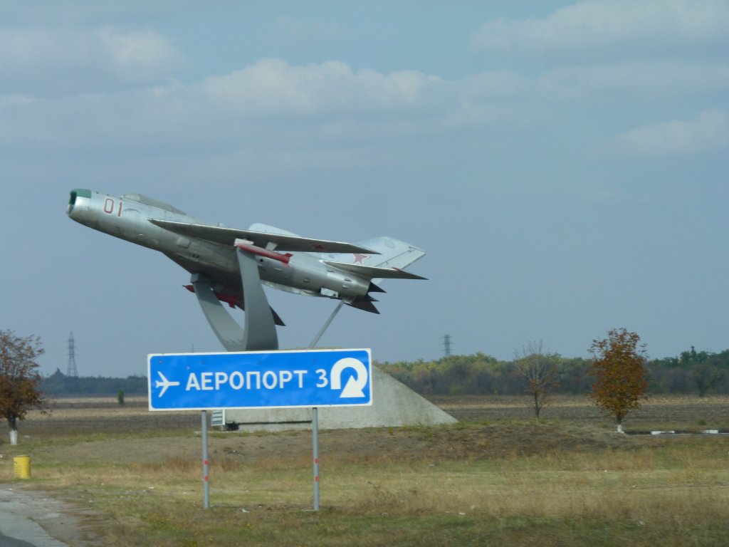
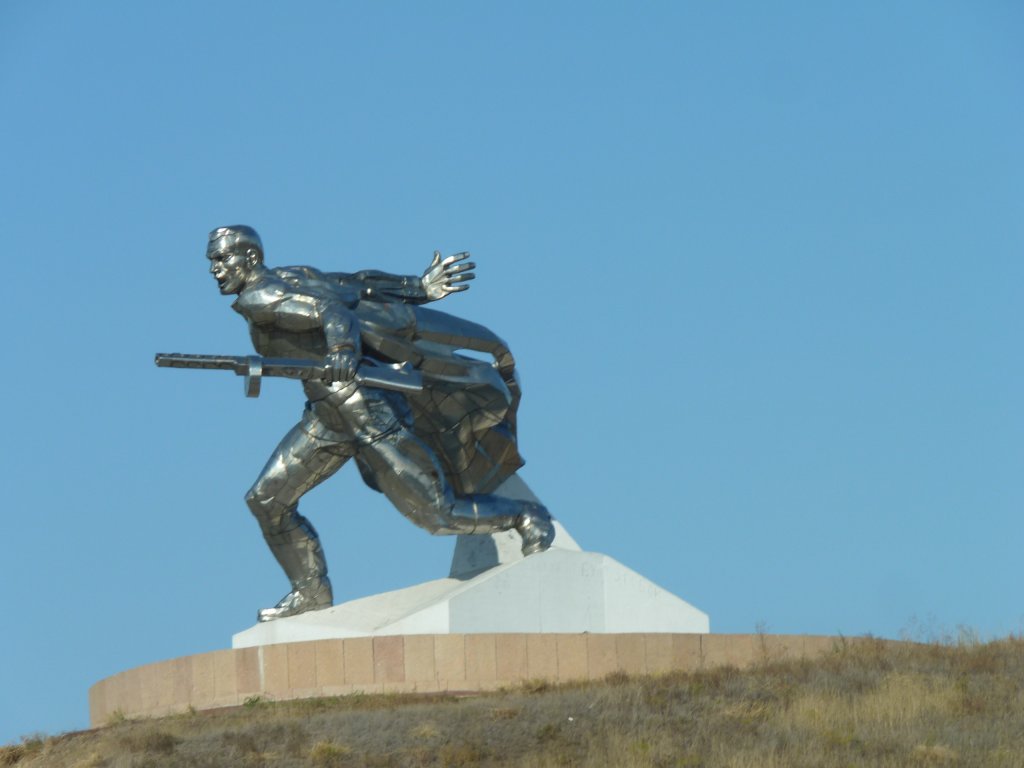
This one caught our eye in passing.
Near a reservoir, which was a bit restrictive, and near a tip, which was potentially a bit polluting.
But quiet.
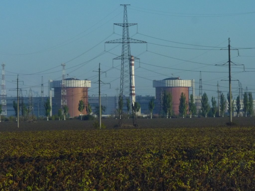
There was heaps of electrical connection to it and lots of waste heat.
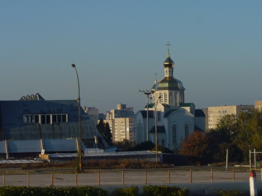
Presumably we were seeing the results of rebuilding organised religion after attempts at suppression by the Soviet Union.
Can't help wondering how the suppression of Tibetan and other minority cultures in China will end.
In disaster we suspect.
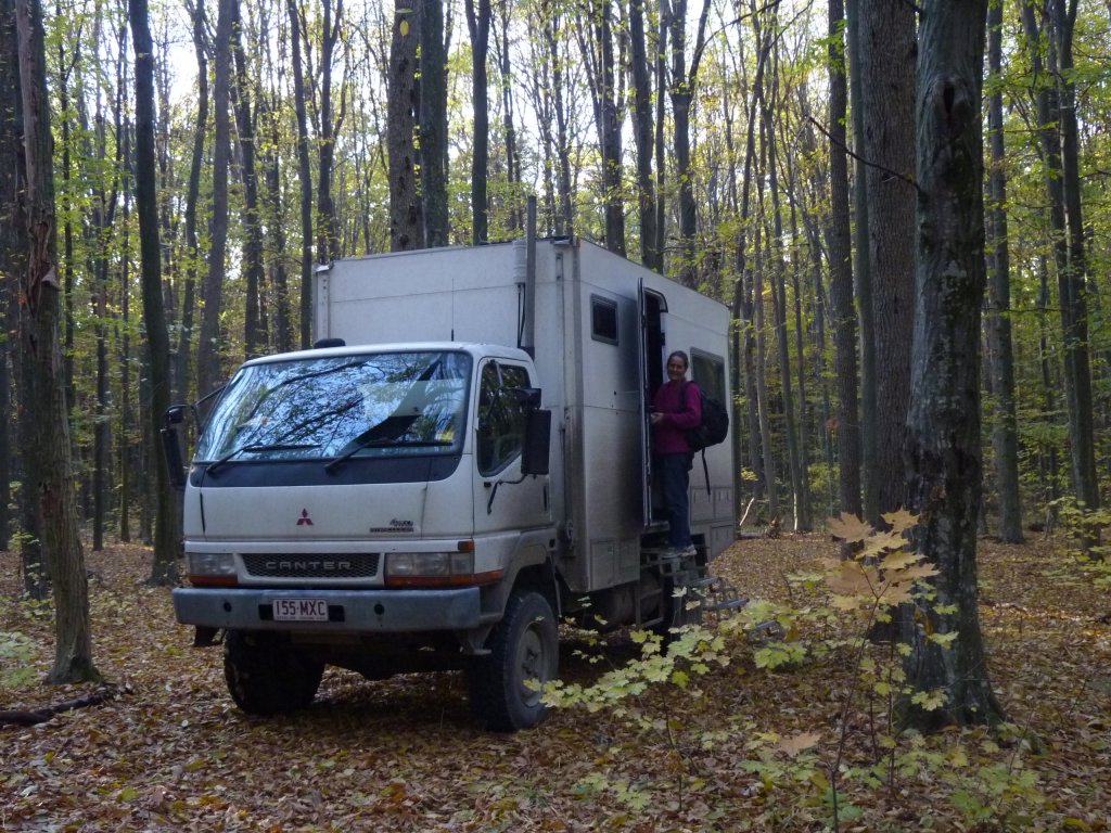
And so to the woods again. Somehwere west of Vinnisya.
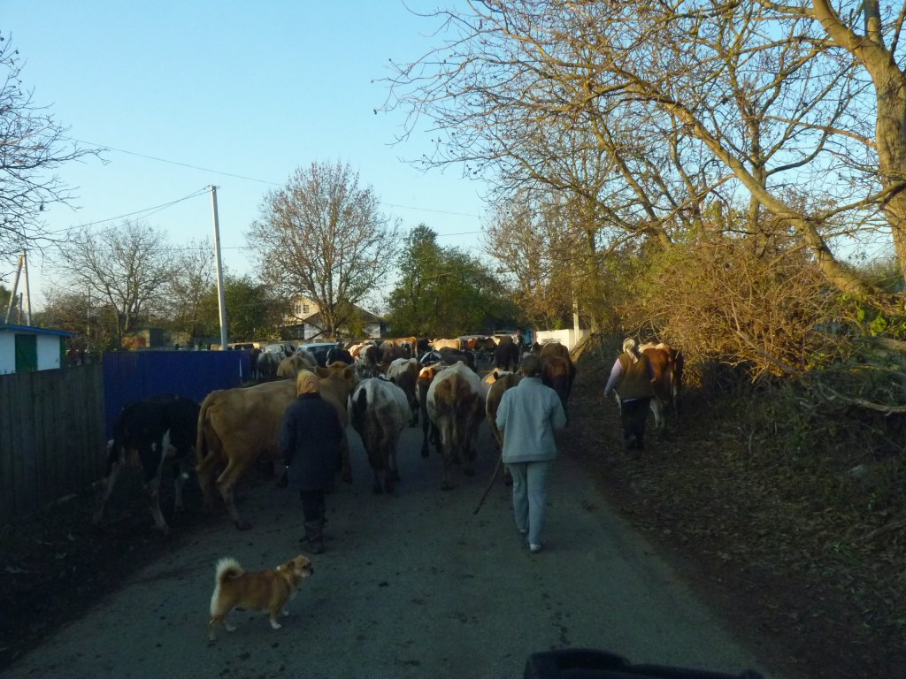
We patiently followed the cattle through the village as the herd was progressively made bigger.
I did once herd a few cows along a main road in England so could see the world from both sides. At any rate, these sort of cattle are not to be hurried - they behave very differently to Asian beasts.
People appeared with cows in ones and twos from their garden gates and joined the procession.
It had a feel of individual ownership communal herding. A sort of baby sitting service for cows.
We later saw small milk tankers on the roads.