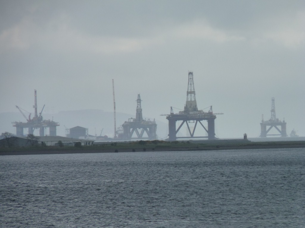
We thought the oil was in the north sea. With Aberdeen the supply base.
These looked remarkably like drilling platforms.
Ferry to Shetland, then ferry to Iceland, then back and on to Bergen in Norway.
Sadly the ferry now doesn't sail beyond Shetland. I guess a casualty of the global economic and financial crises.
Also sadly the ferry from Denmark to Iceland via the Faeroes passes by the entrance to Lerwick harbour in the Shetlands without stopping. Despite being part owned by the Shetland Development Corporation. It seems the port fees are too high.
My simplistic answer would be to change the port facilities that are provided. But it always takes time for governments to adjust.
So we headed south.
The Immingham to Gotheburg ferry that I used in 1977 when setting off for Australia overland is freight only.
How sad that the economical way is to drive all the way south to Dover.
The channel tunnel will have had its part to play but there's some economic madness somewhere.
End of whinge!
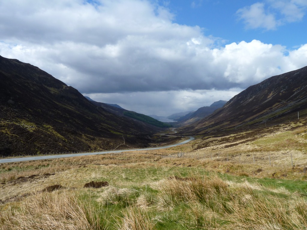
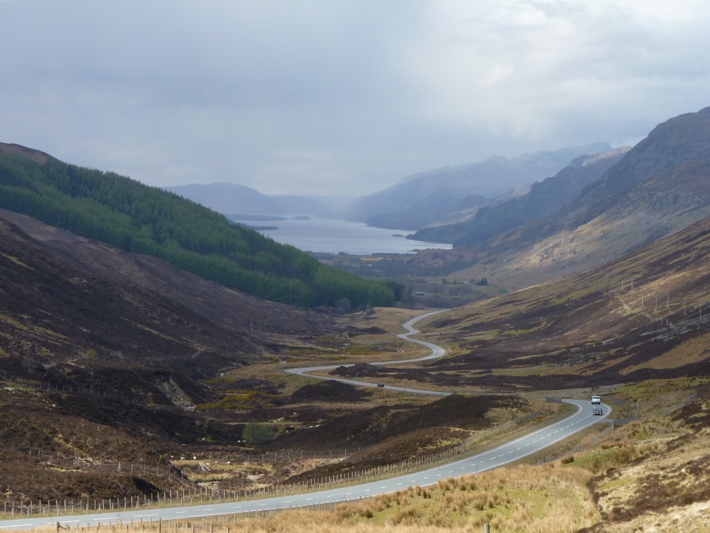
We might be headed south but there's still a lot more of Scotland that we haven't seen.
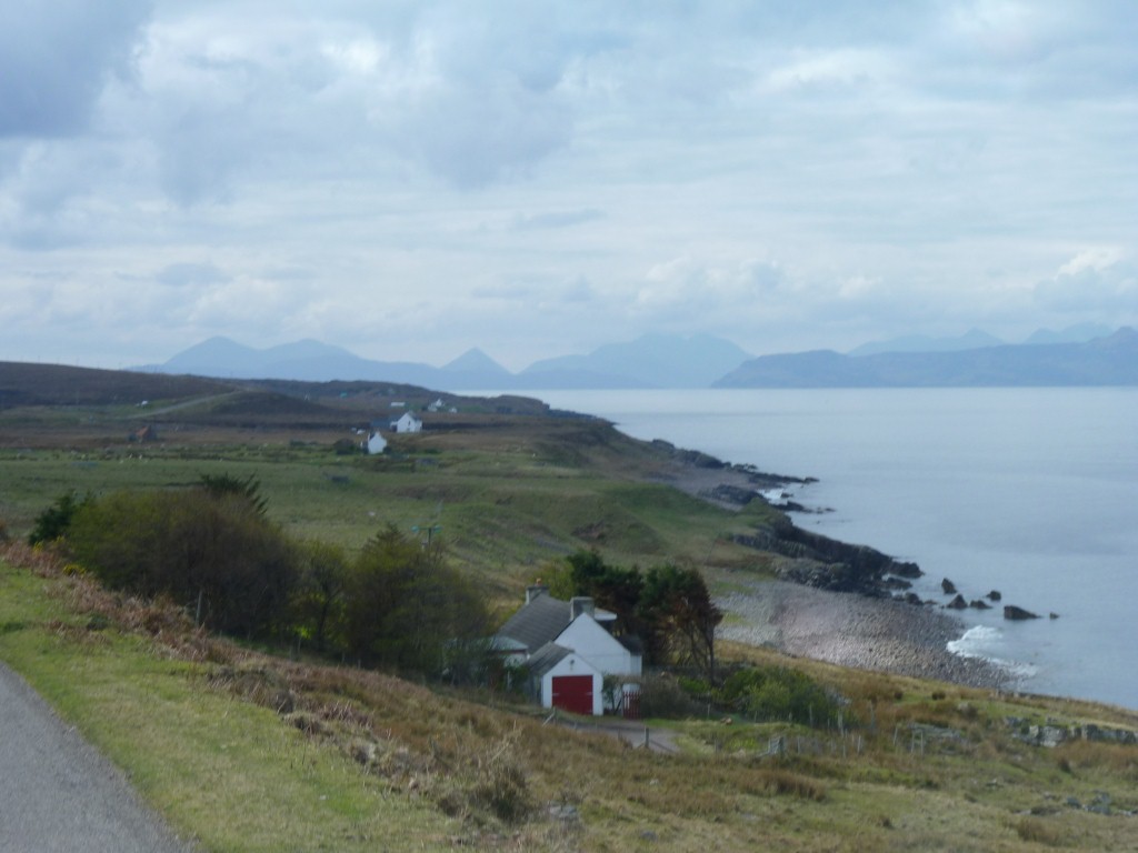
Wherever we've seen crofts they seem to be laid out with a bit of loch front extending back into hills. Small narrow strips of marginal land shared as best it can be.
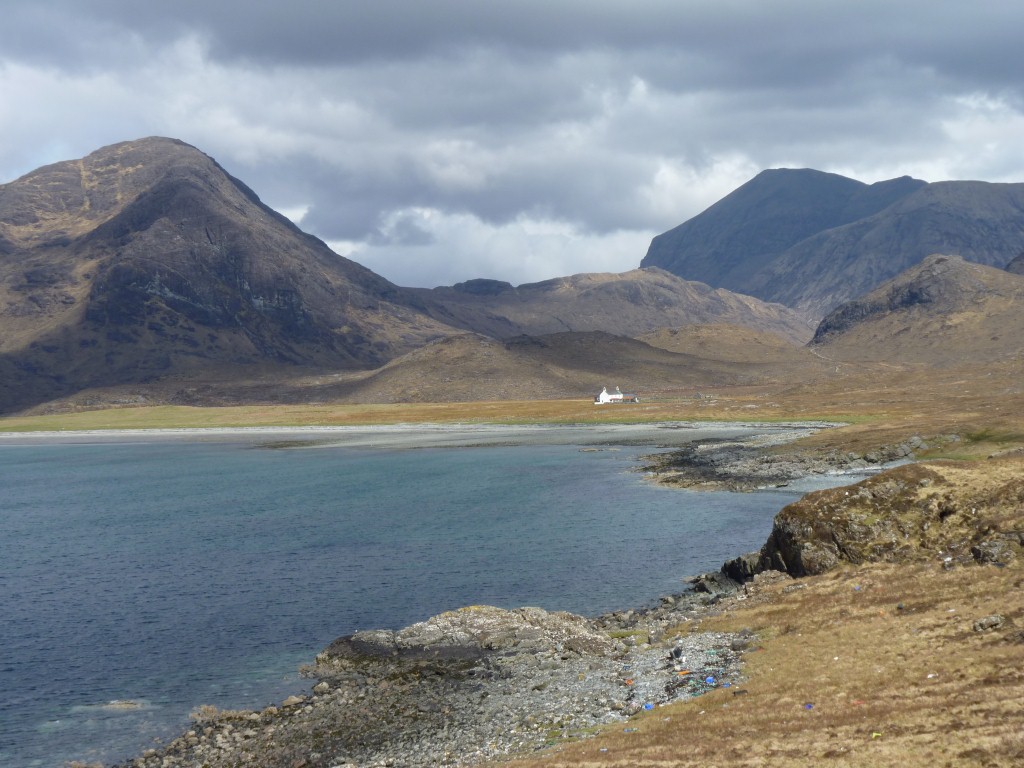
And small houses, all painted white. Originally it would have been whitewash made from lime.
In among the history of warring clans and battles against the English is also "the clearance" with associated riots. Crofters evicted and villages destroyed so landowners could replace them with sheep.
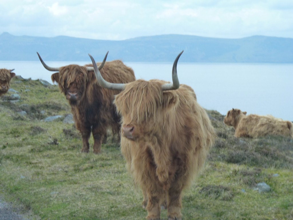
Highland cattle, looking to us a bit like a large version of a '60s fashion hairdo.
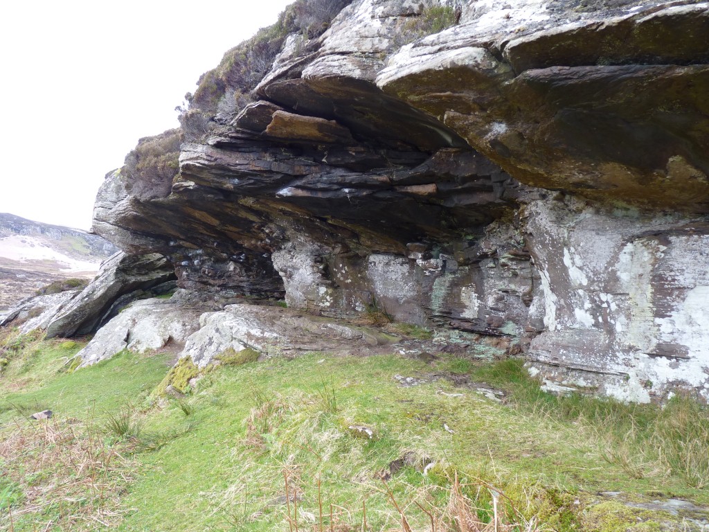
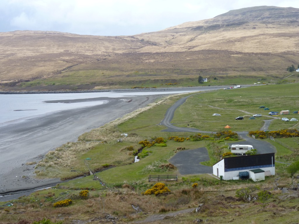
There's evidence in this rock shelter (at Sand) of occupation at least 7,500 years ago.
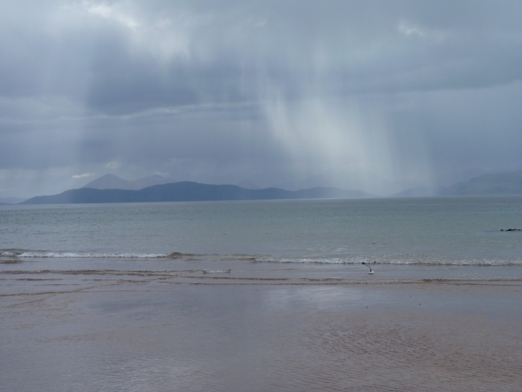
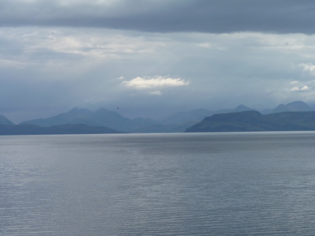
Went for a walk on the beach (what else does one do with sand) and watched the showers across the sound.
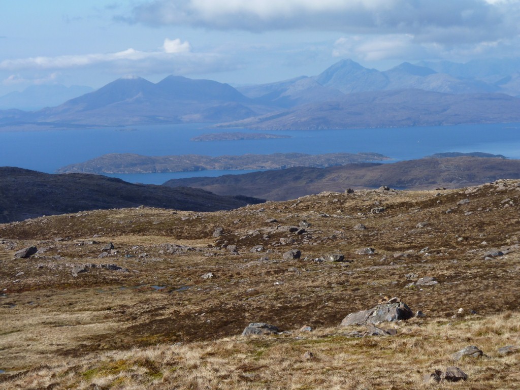
The old road was way above us on the hillside so we went for a (nother) walk.
It all looked a bit steep to us. Just right for a bit of walking.
We weren't quite prepared for the drive up from Applecross - though there was a sign saying unsuitable for caravans.
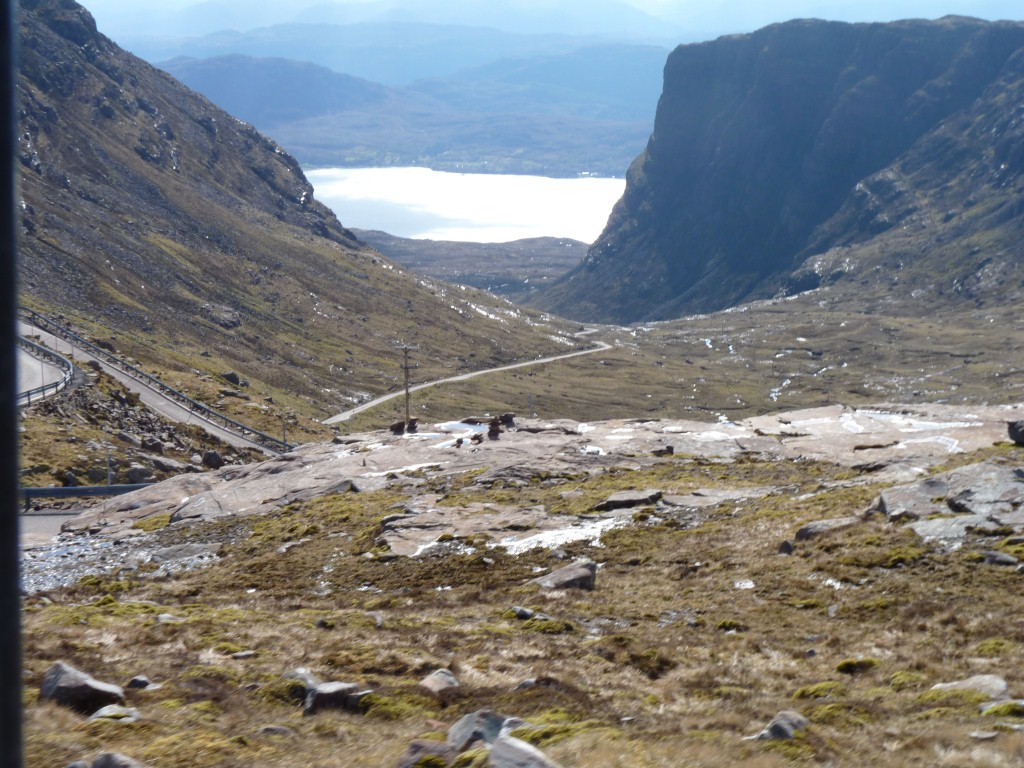
A few hairpins, a bit steep, but no shunting required.
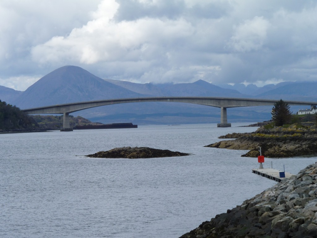
Ali had politely suggested that singing the Skye Boat Song continuously over a few days, while not knowing the words, was not conducive to our ongoing happiness on the trip.
I gained permission to sing it while driving over the bridge ..... but of course forgot when the moment arose!
When first built it had a toll. A bit of local resistance finally had that abolished.
We turned left towards Elgol not too far after the bridge.
Just before the turn the road was blocked by an accident. Police and ambulance in attendance. A kindly local showed us the back road around.
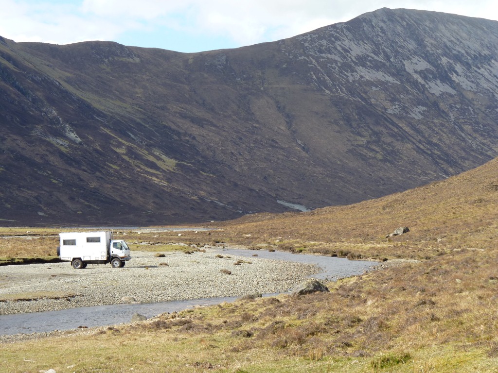
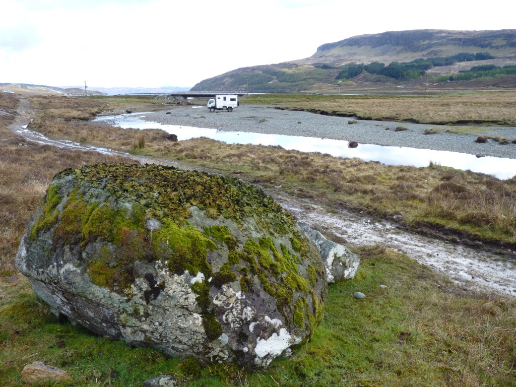
Camped next to a convenient river.
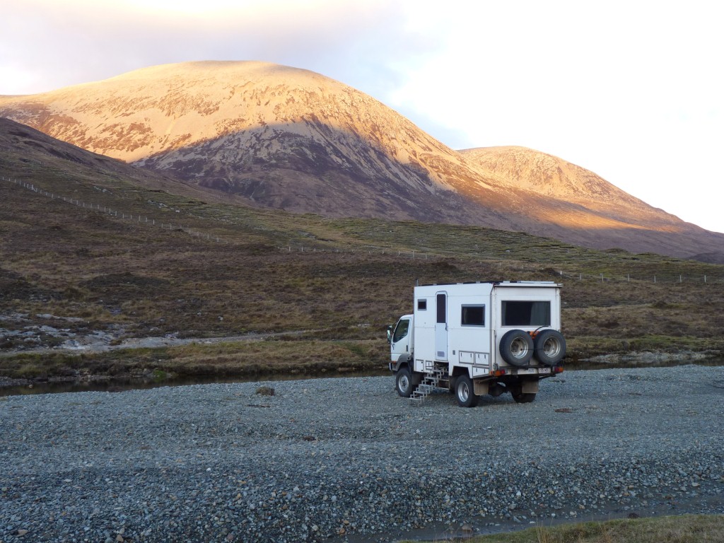
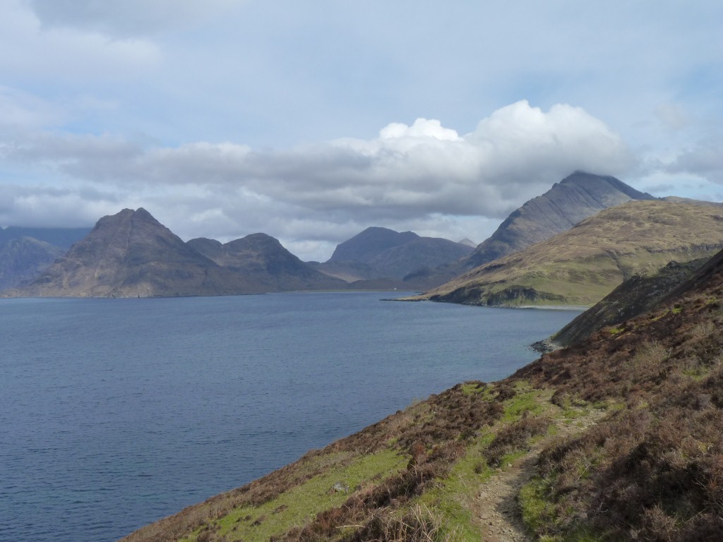
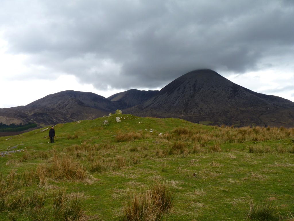
Red Cuillin Hills really are red!
Red Cuillins are granite, black Cuillins are gabbro.
Gabbro and granite are both igneous (molten stuff from the middle of the earth, through volcanoes or simply oozing out, that goes solid). Granite has a high silica, low iron, and a low melting point. It flows quite well. Gabbro is not far from basalt with low silica, high iron, and a high melting point. It doesn't flow as well.
Granite is softer and erodes into rounded hills. Gabbro is harder, more brittle, and erodes to sharp ridges and peaks.
They are of course different colours and support different vegetation.
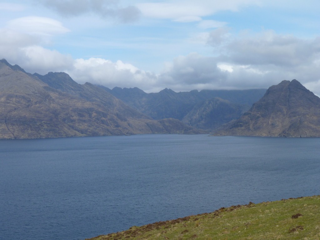
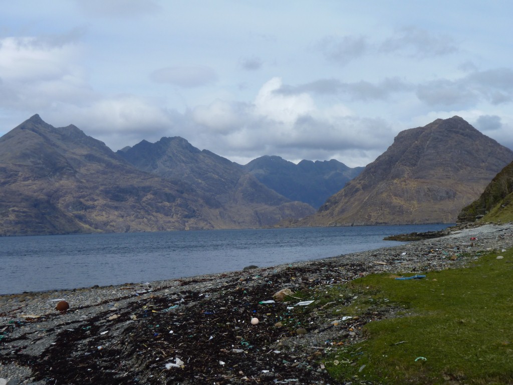
As we later realised we could have taken a boat to nearer the black Cuillins then walked back.
The red and black Cuillins were formed at different times.
There aren't many places where the two rock types are found close together.
We didn't find the join.
We stopped for a rest at Camasunary then walked back to the road at Kirkibost.
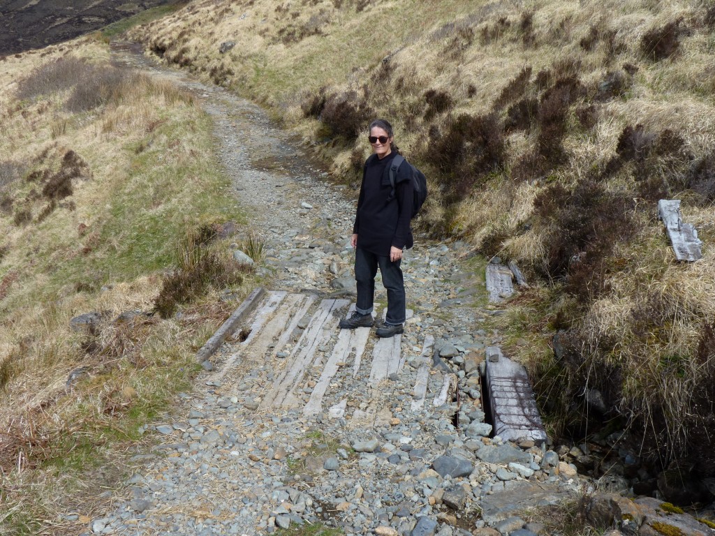
Apart from the locked gate there's a couple of rough looking bridges. Not a good deal for Tardis so pleased we didn't try.
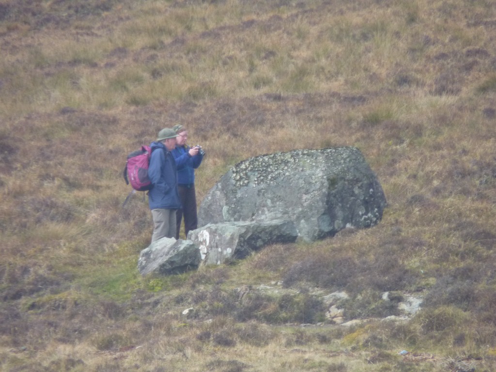
This couple walked round it and pointed at it and photographed it over about a half hour.
I was too slow to cross the river and ask.
Fascinating variety.
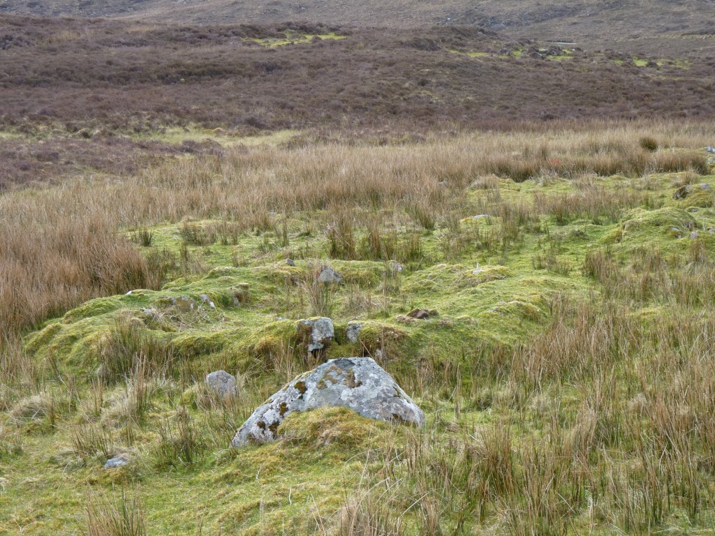
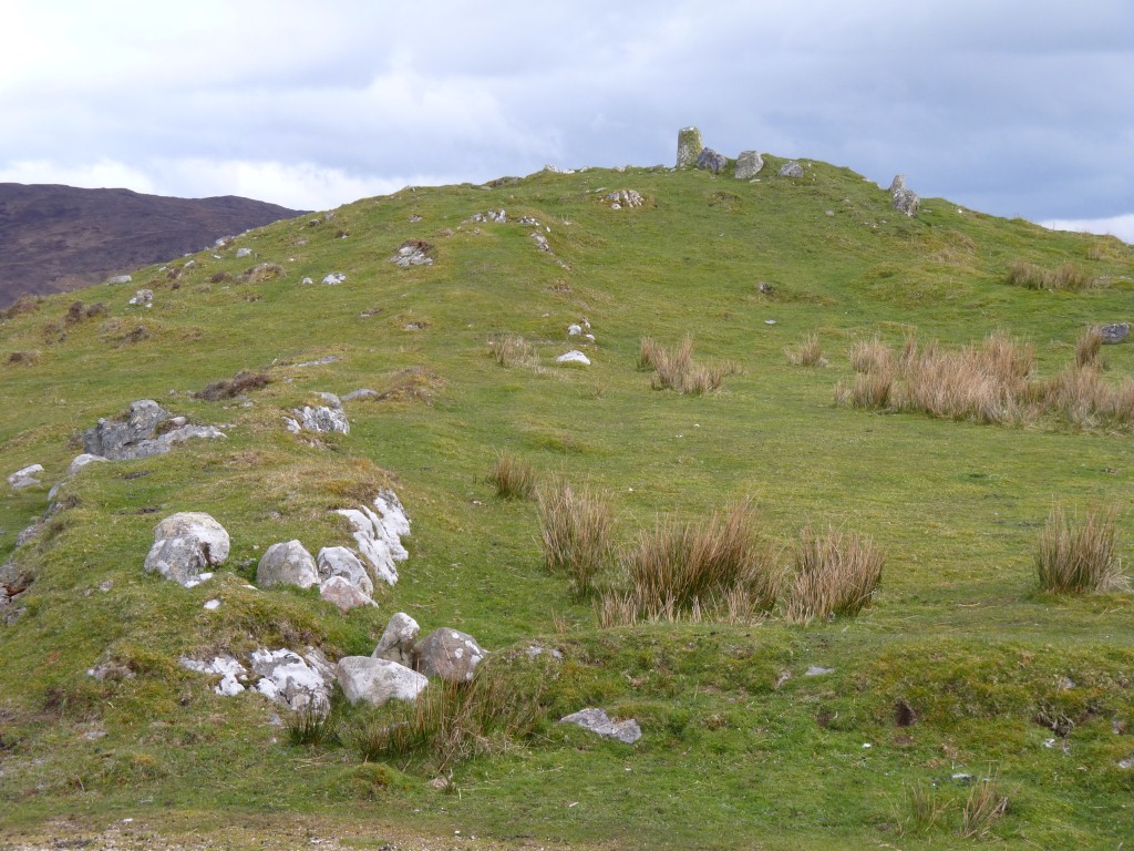
This is a stone circle, probably remains of a hut.
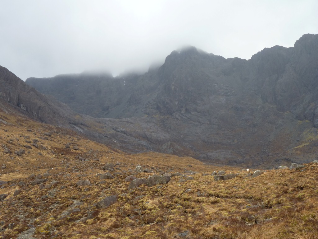
The way into Coire Lagan, at the heart of the Black Cuillins, is to follow the track starting near the loo.
For some reason just the name sounds ominous.
A squally windswept cold day we almost had to convince ourselves we were enjoying it.
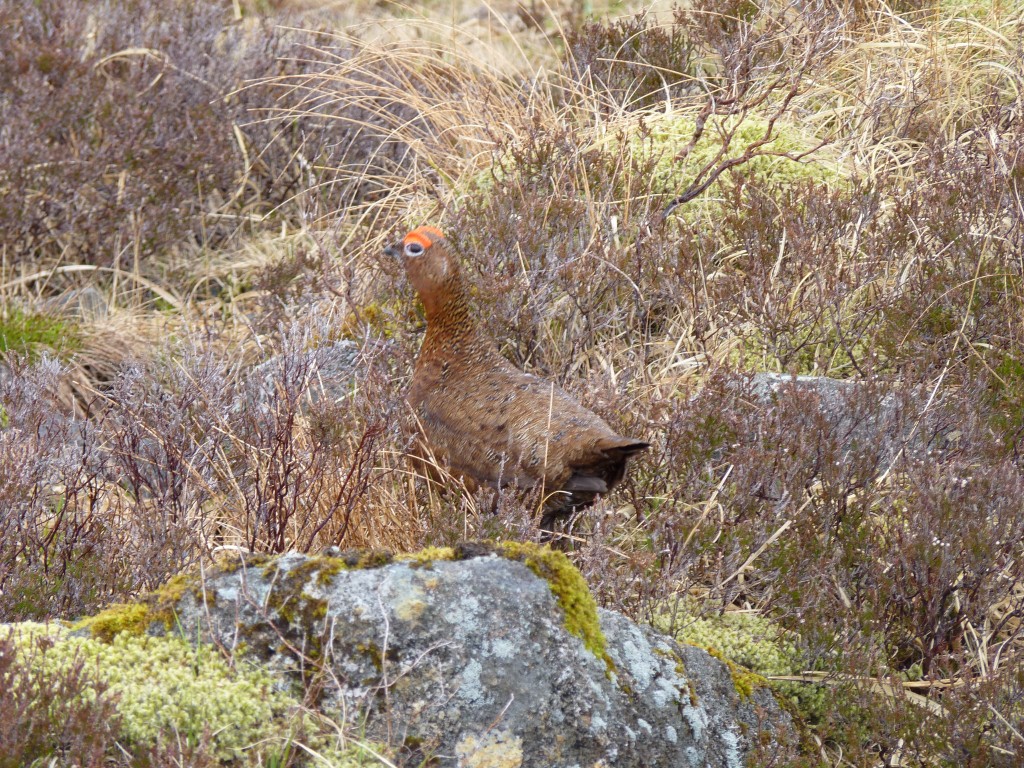
Wonderfully camouflaged. There were two of them. One quicker than the other.
Munros are peaks over 3,000 ft in Scotland.
People have ambitions to climb all 283 or so of them.
Not sure if Munro just catalogued them or climbed them!
Round the ridge, to the left, is Innaccessible Pinnacle (Inn Pinn for short).
All the rest have gaelic names like Sgurr Mhic Choinnich.
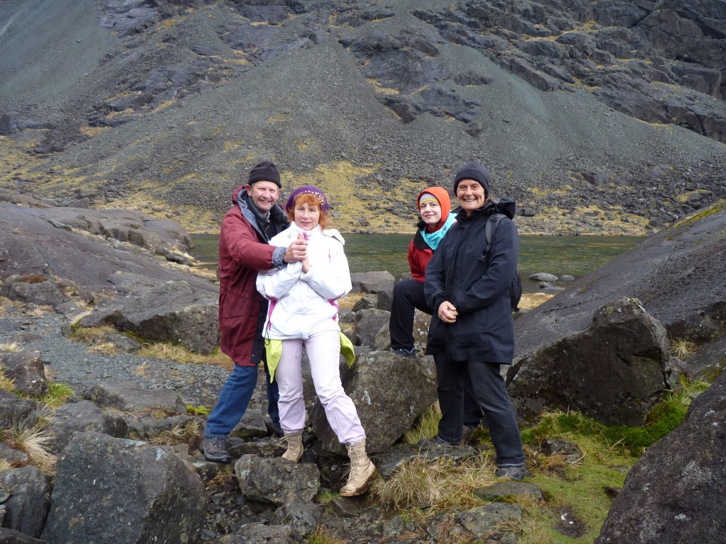
They were a bit cold but enjoying it thoroughly.
One of those "we've been there" encounters.
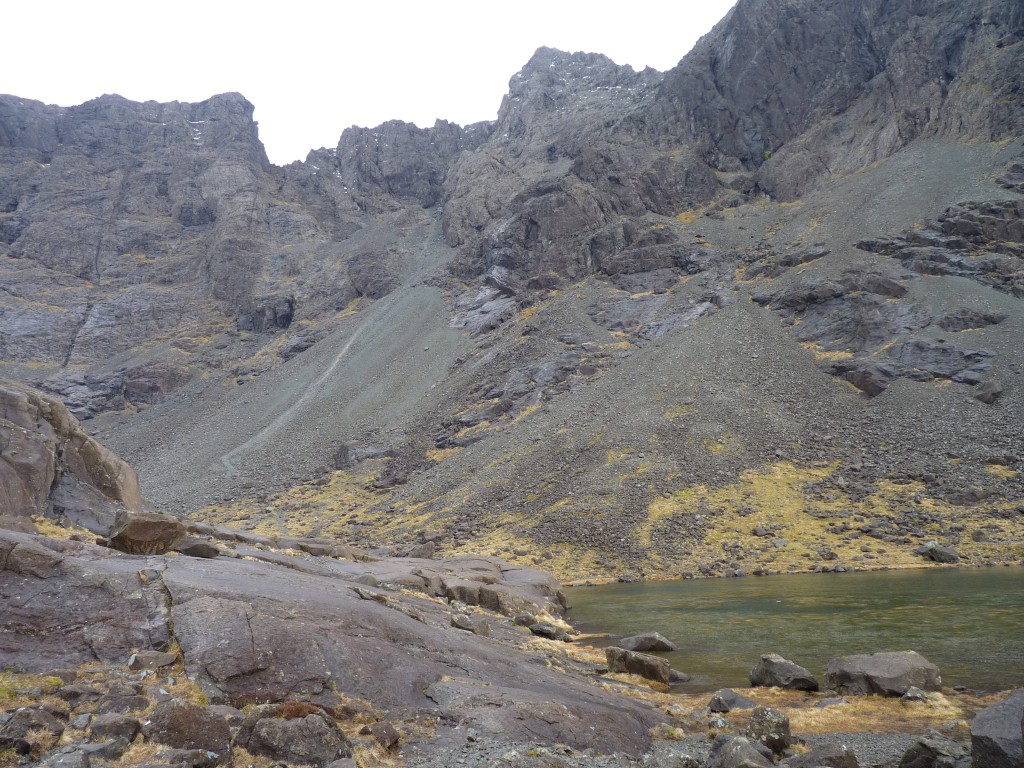
It looked slow going.
We decided to retreat!
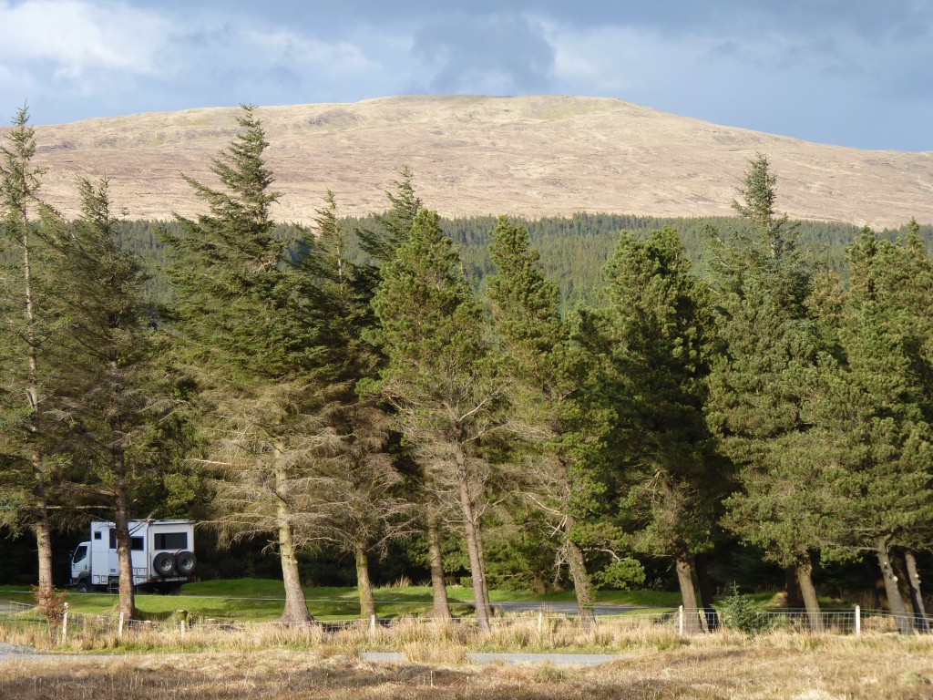
Though looking at the photo the trees have a bit of a lean.