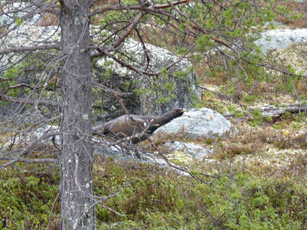
Not like anything we've seen previously.
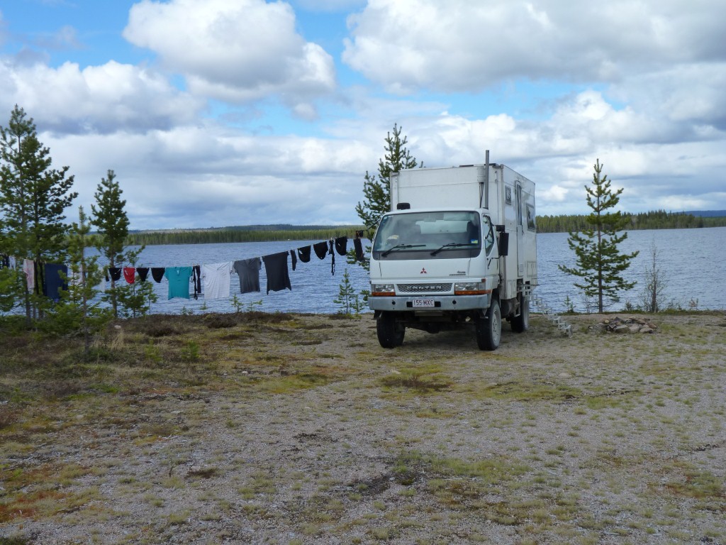
Time for a couple of days rest.
For the one not doing the washing that is.
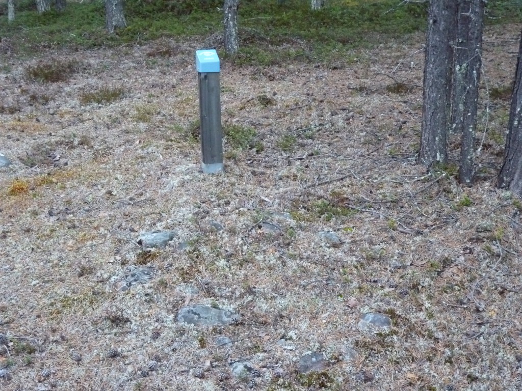
There are 10 at this particular site. About 200 in the area.
Around 700 - 1050 AD.
Its like moorland with trees. Heather in the undergrowth.
Lots of lichen for the reindeer.
We didn't find one but there are also cooking pits. They are larger, and were used outside the lavvus. Basically pits, with fires, with stones on top, then cooking.
Not quite like a hangi which is covered. We haven't yet found any recipes for the Saami cooking pits.
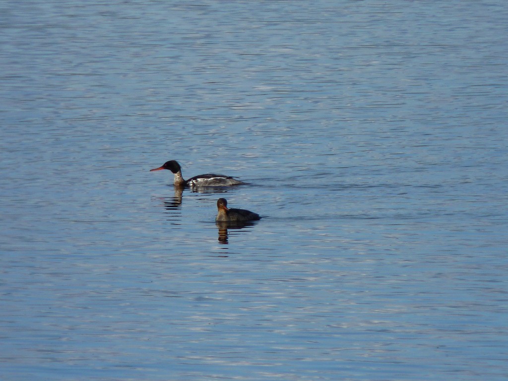
Not a type of duck we are used to seeing.
They spent quite a bit of time underwater, presumably feeding.
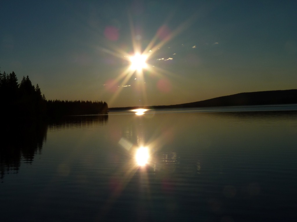
Well, not quite. We are still south of the Arctic Circle.
The sun disappeared behind the hill to the right.
Had to close the aperture on the camera. Its still very bright at 10pm.
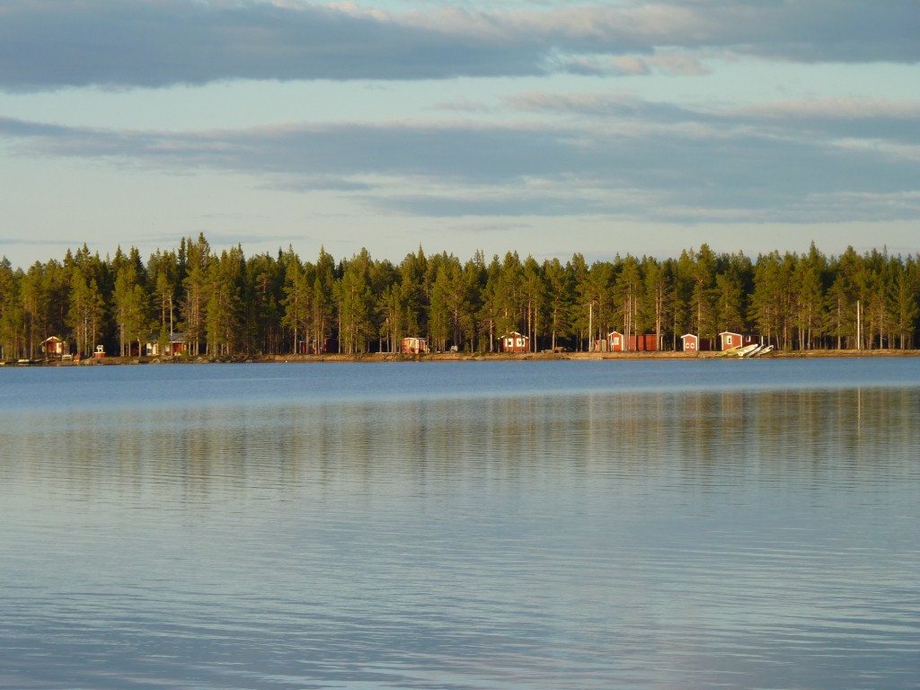
We spent 3 days just being lazy.
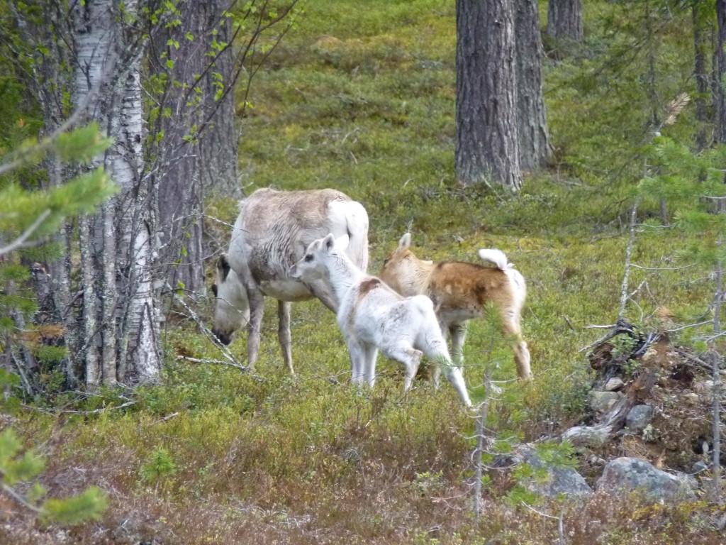
We're intrigued by the size of their feet.
Not only are they large (presumably for the snow in the same way camels have large feet for the sand) but they help them walk funny (to us).
Its as if they have very heavy weights on the ends of their legs and are used to having to lift them high to get through the snow.
And the young ones are cute.
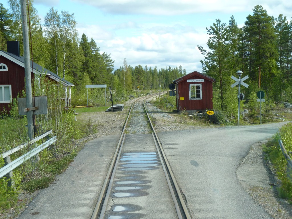
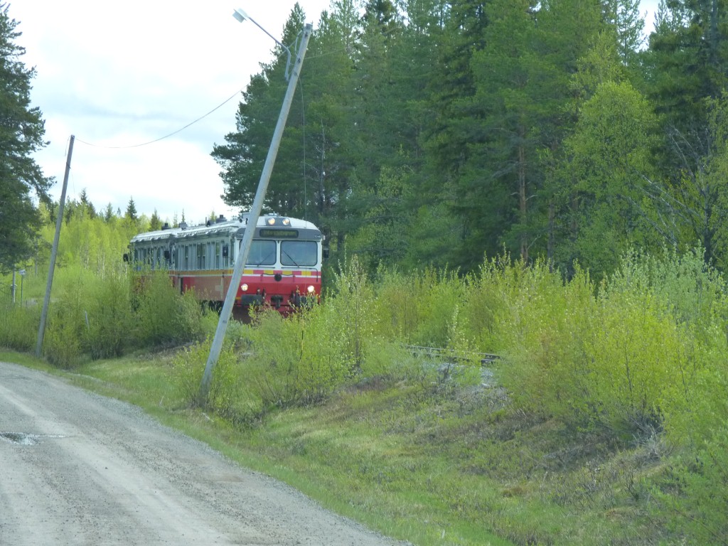
We've just come over a bridge that's shared between road and rail.
Got here before the train arrived.
Faced with a difficult decision about which way we veered right instead of carrying straight on.
Here it is, just a few km up the road.
We must have crossed the line again ....
The E45. Known as the Inlandsvagen.
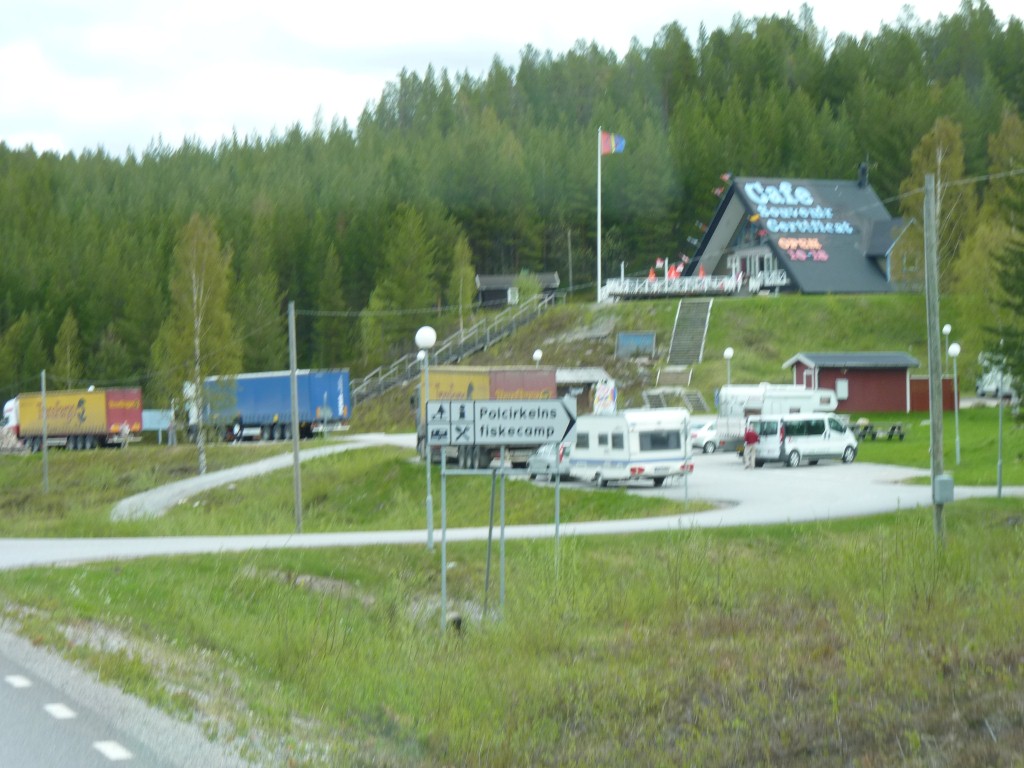
This is where we crossed the Arctic Circle.
Just south of Jokkmokk.
Not sure how they allow for the slow drift of the circle. We suspect close enough is near enough!
Since we don't know where it currently is, and didn't check the gps, we just took their word for it. All a bit of an anti climax really, another milestone.
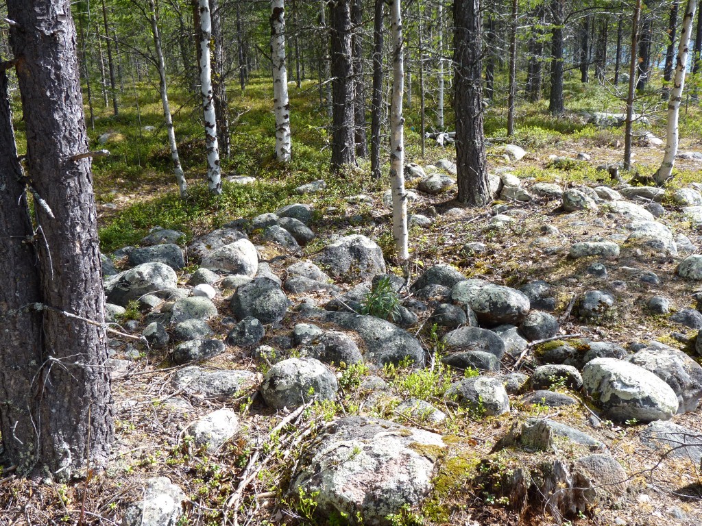
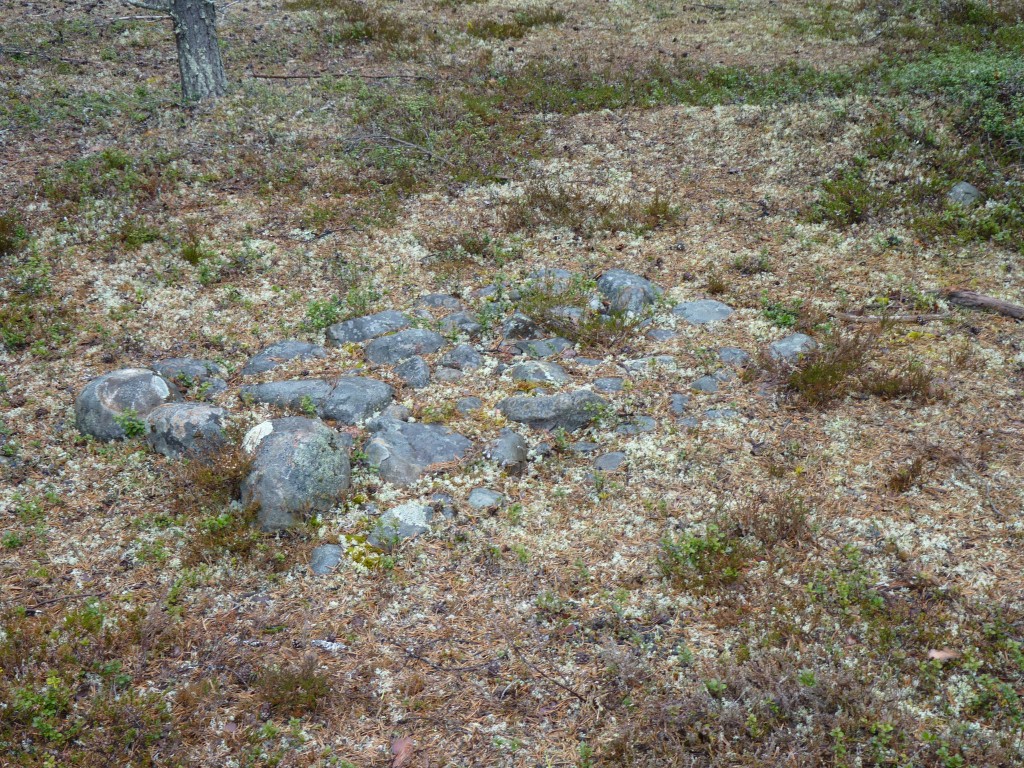
We stopped to investigate one of the pale blue signs that we've begun to associate with archeological sites.
This pile of stones is a 7000 year old grave site. Nicely situated on a river bank.
Its been sampled but not excavated.
It doesn't show well in the photo but its rectangular. Not like the round grave sites we've become used to before Scandinavia.
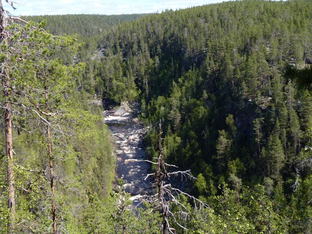
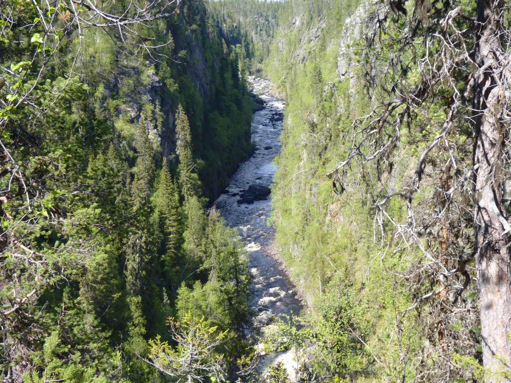
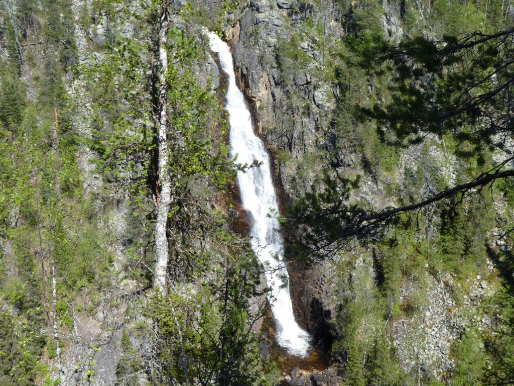
This is Muddusjokk.
There's a plateau of marshy moorland which empties down a couple of parallel gorges.
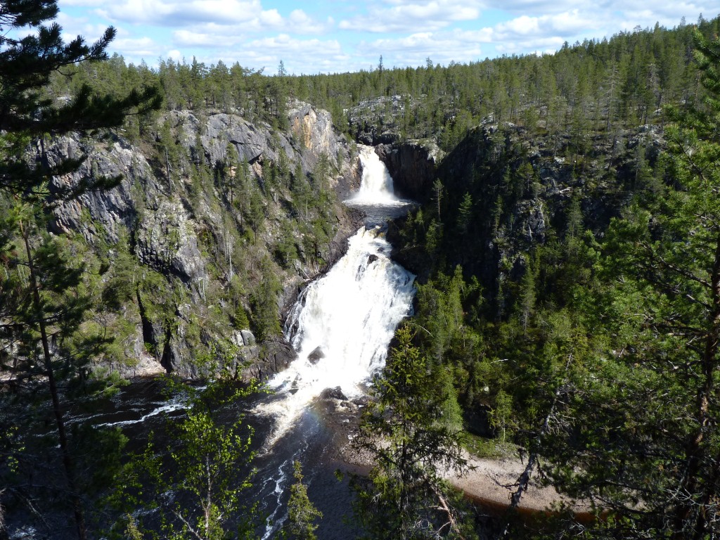
Large and spectacular.
Worth the 7 km hike in.
Fortunately the signpost said 6 km out (on the same track!).
The rock is still granite, like most of Sweden so far.
There's a hut near the waterfall and tracks heading further north into a marshy area. More Ramsay Wetland.