We decided to head to a pont a bit further east which is nearly as far north.
Some estimates suggest that with a bit of walking (7 hours) we could be further north, at the real most northerly point.
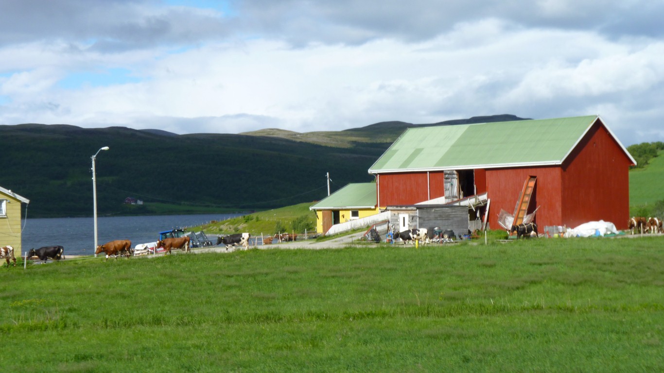
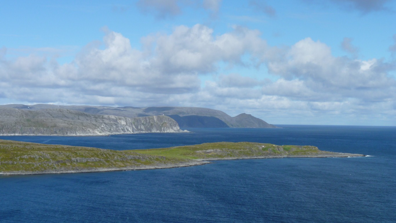
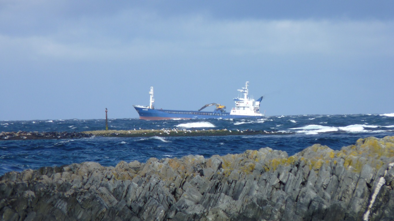
We stopped at a convenient spot. Named Kalak on the map. A couple of houses, a small harbour, and some shipping to and from a nearby fish farm.
Until they heard the camera click.
The weather matches the grey landscape.
The roads so far in Norway have been a bit iffy. Ridges every hundred meters or so and frequent humps.
It looks like the main road is being rebuilt.
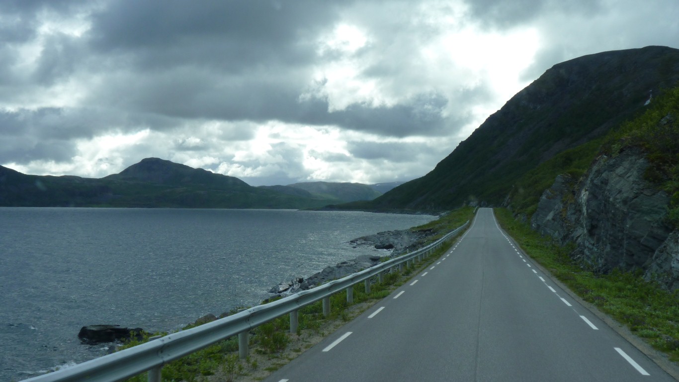
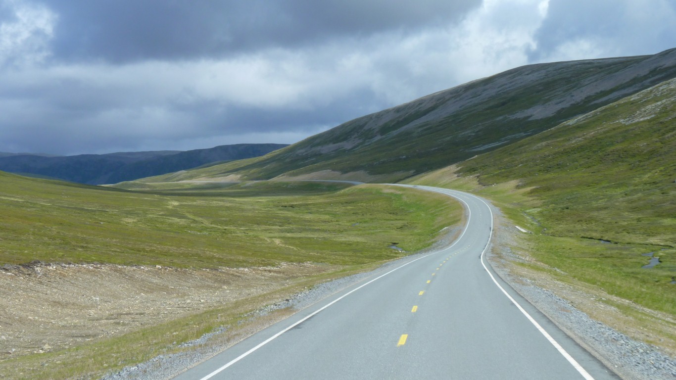
This road north is wonderfully smooth.
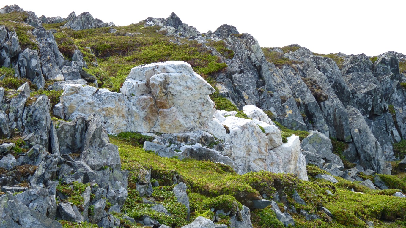
There's not a tree in sight.
We haven't yet learned how they are mustered.
Getting closer ...
With weather like this we should see the midnight sun.
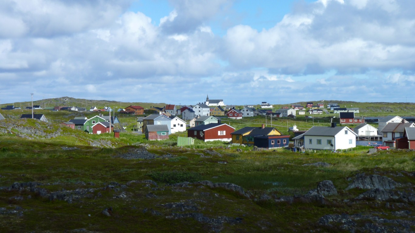
There were several fish factories here in past days.
We'll figure out later what the "Pomor" trade with Russia was.
Like lots of fisheries this one has collapsed.
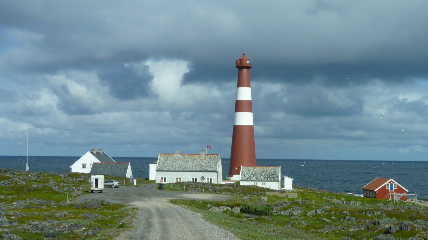
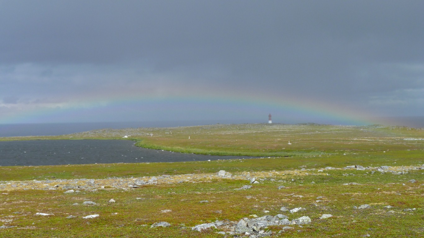
Europe's most northerly lighthouse.
Built around 1905, destroyed during WWII and rebuilt.
Cast iron.
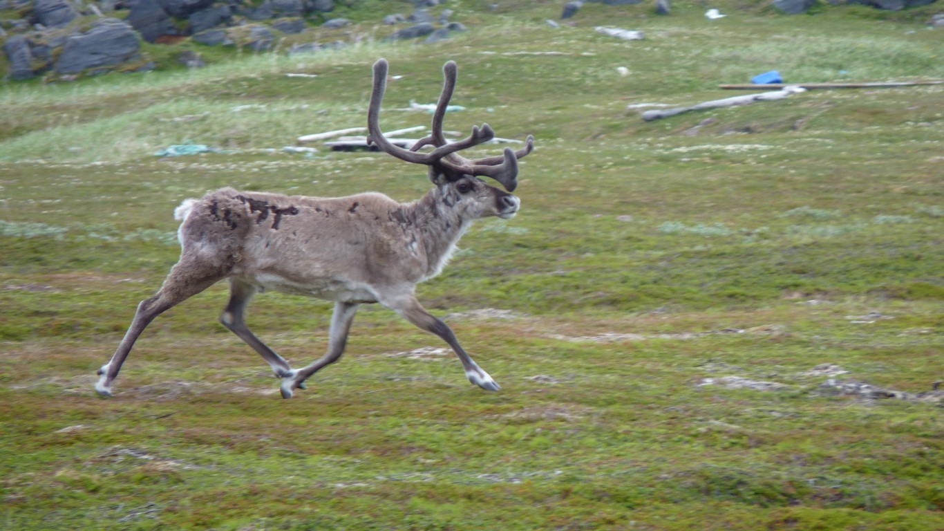
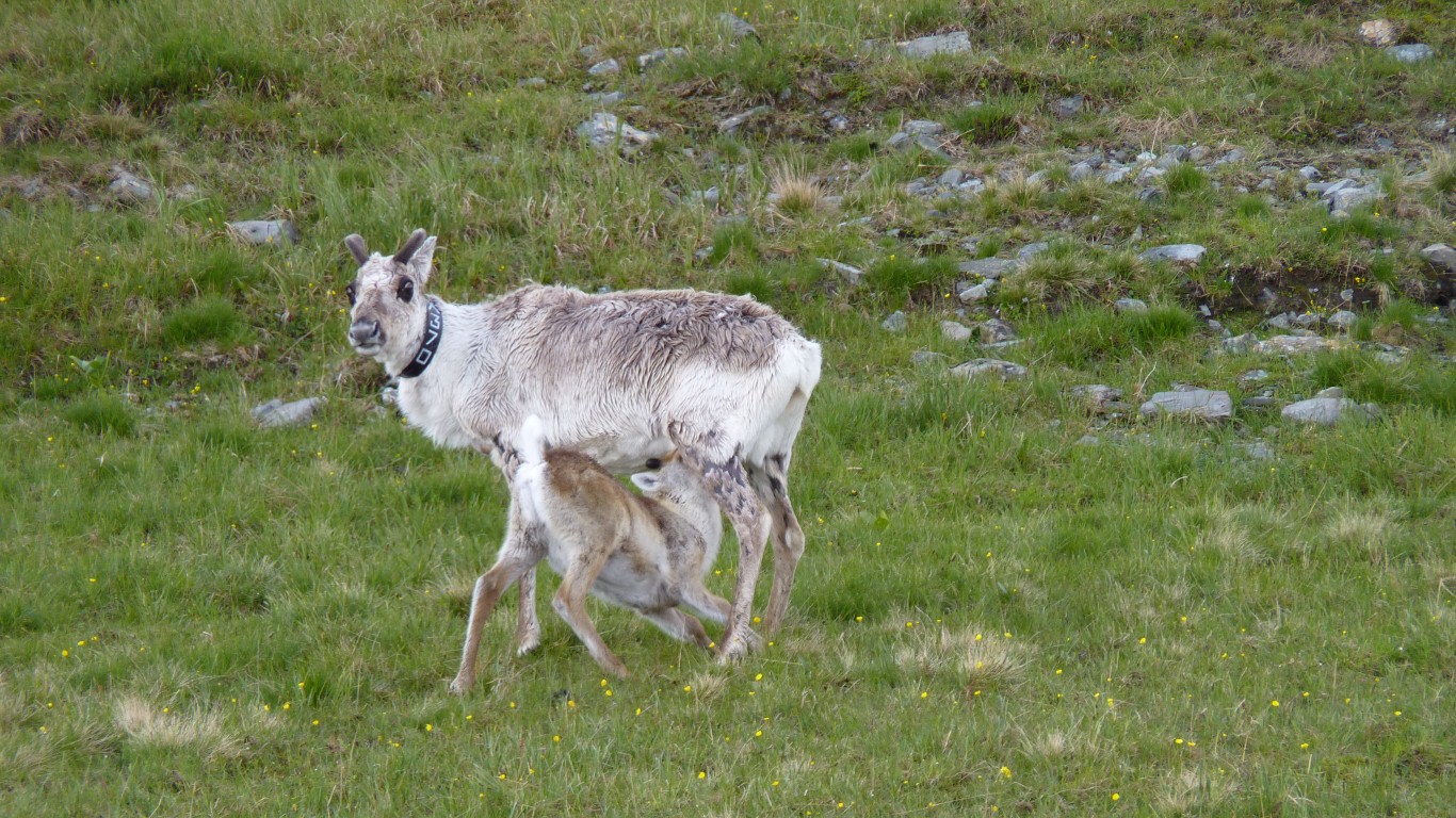
At least the antlers don't look sharp ...
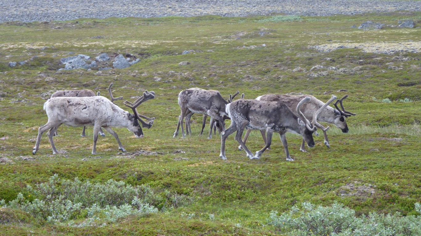
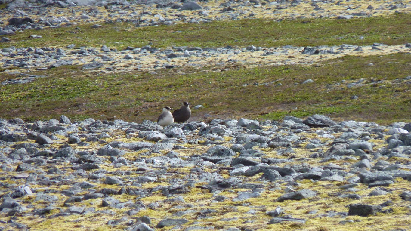
Quite busy really.
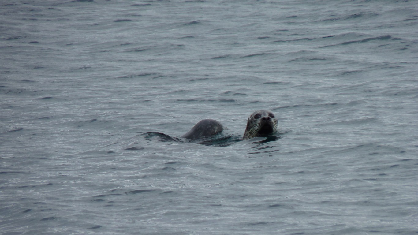
It took us a while to realise he was lying down. ...
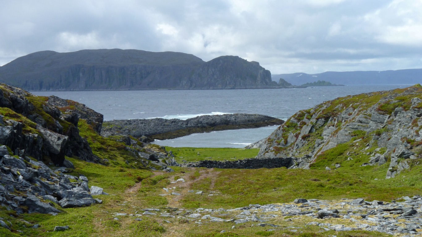
There's a series of small coves like this one which have seen stoneage and more recent settlement.
Though the most obvious bits are leftover from war.
As far as we walked.
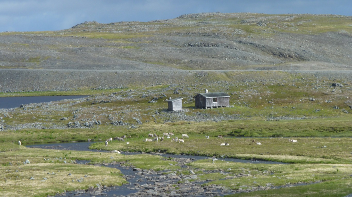
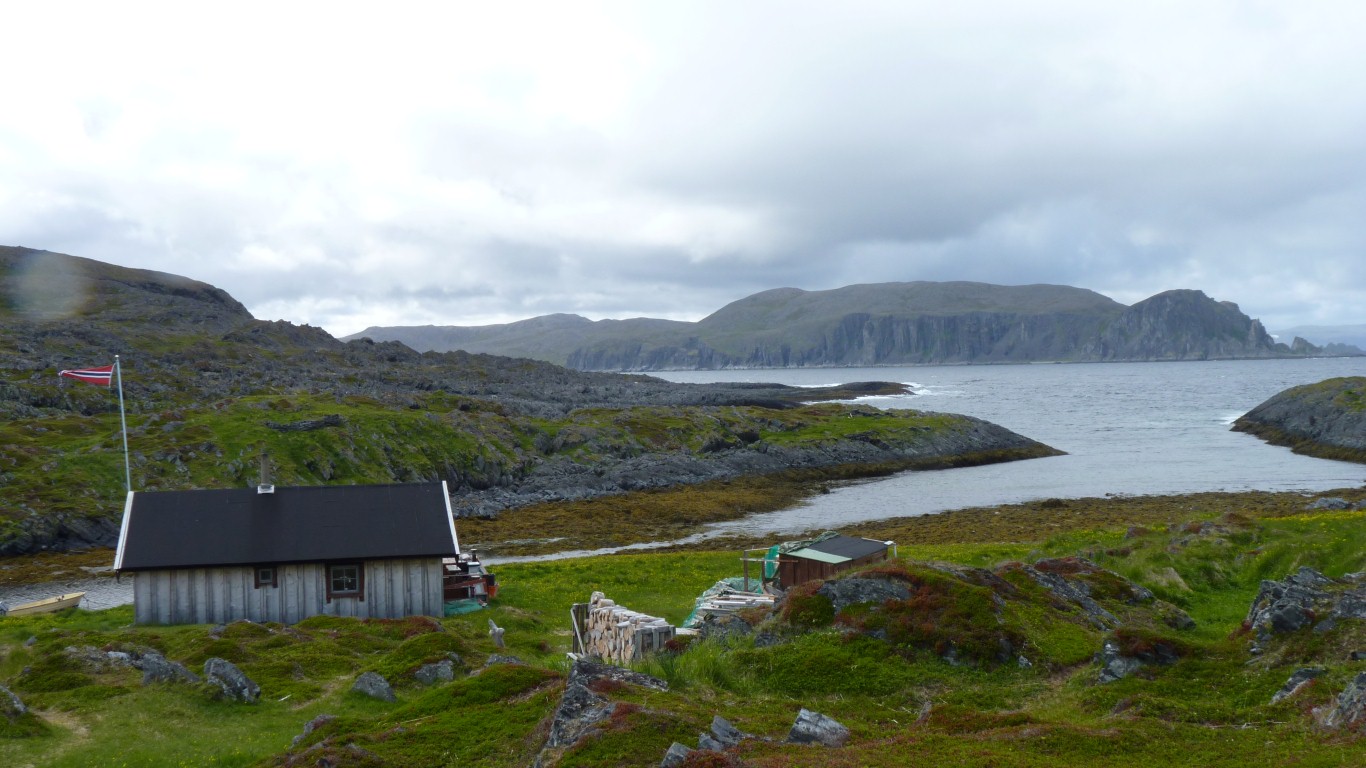
There's just one hut remaining - occupied, hence the flag (we think).
There was a map which was a bit hard to decipher. The combined efforts of Swiss, German, Italian, and ourselves, failed to work out what was where.
Along with empty sea urchin shells there were also lemming remains scattered around.
Apparently it doesn't snow much here, there isn't much rain, and its windy.
Just enough rain to make us damp and provide a rainbow over the lighthouse.
We'd strategically placed the rear window facing north to watch the sun-not-set. Thwarted by heavy cloud.
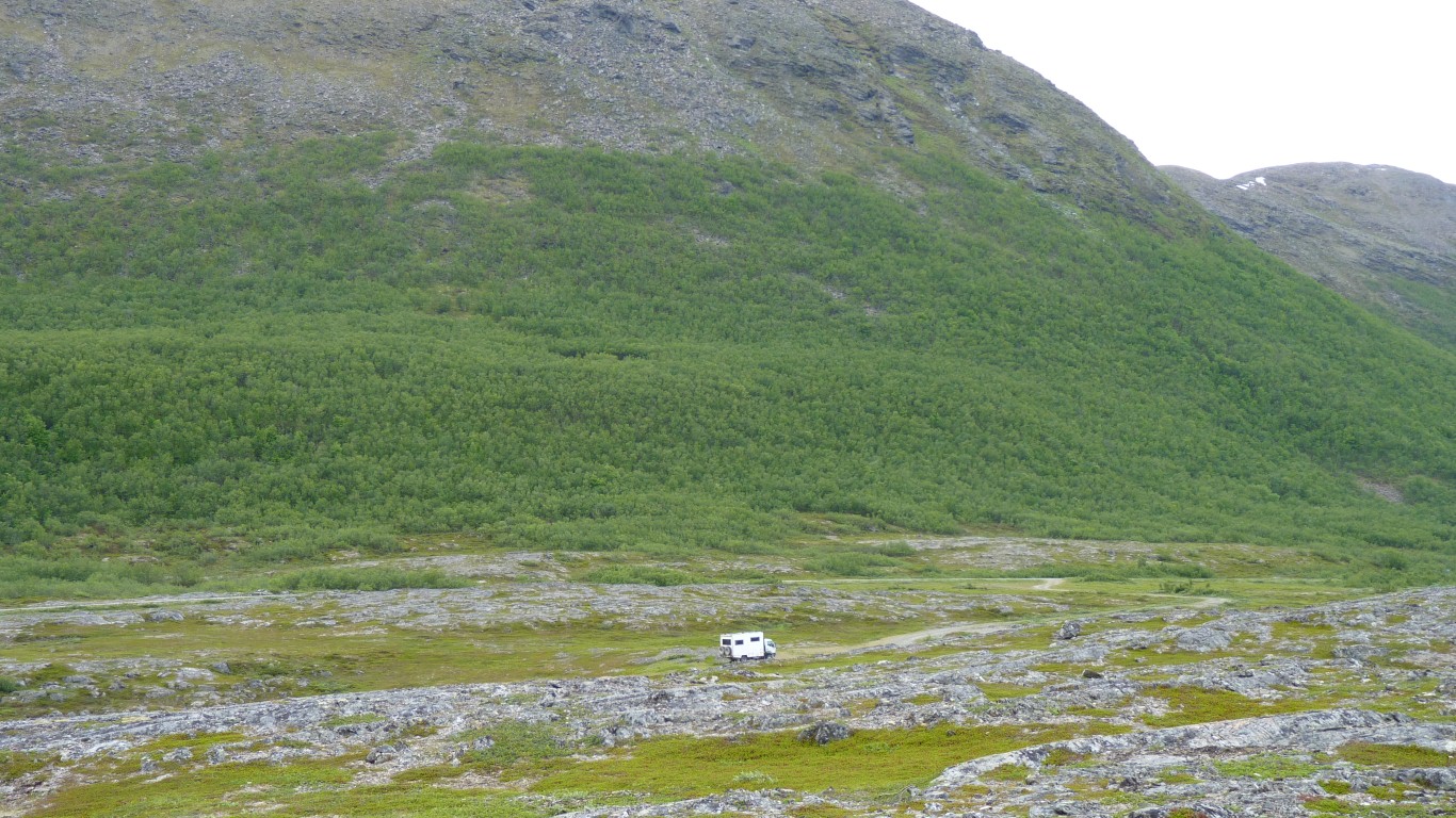
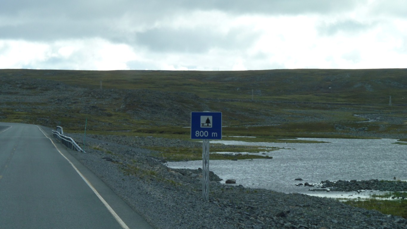
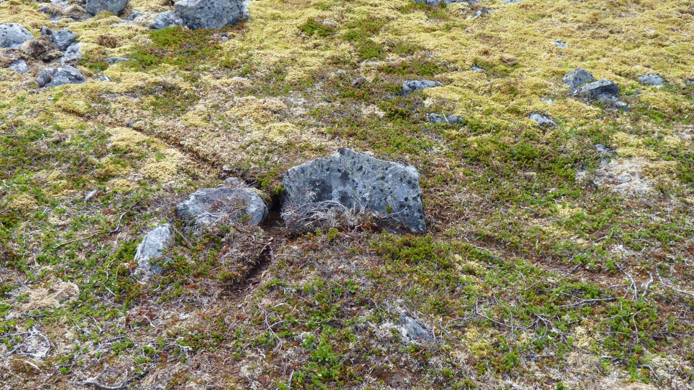
Still struggling with the aftermath of school geography we think this is tundra. Nothing much growing taller than a few cm.