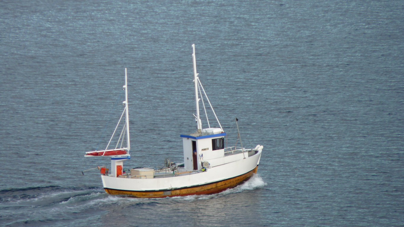
It was the thump thump of a very slow diesel engine that caught our attention.
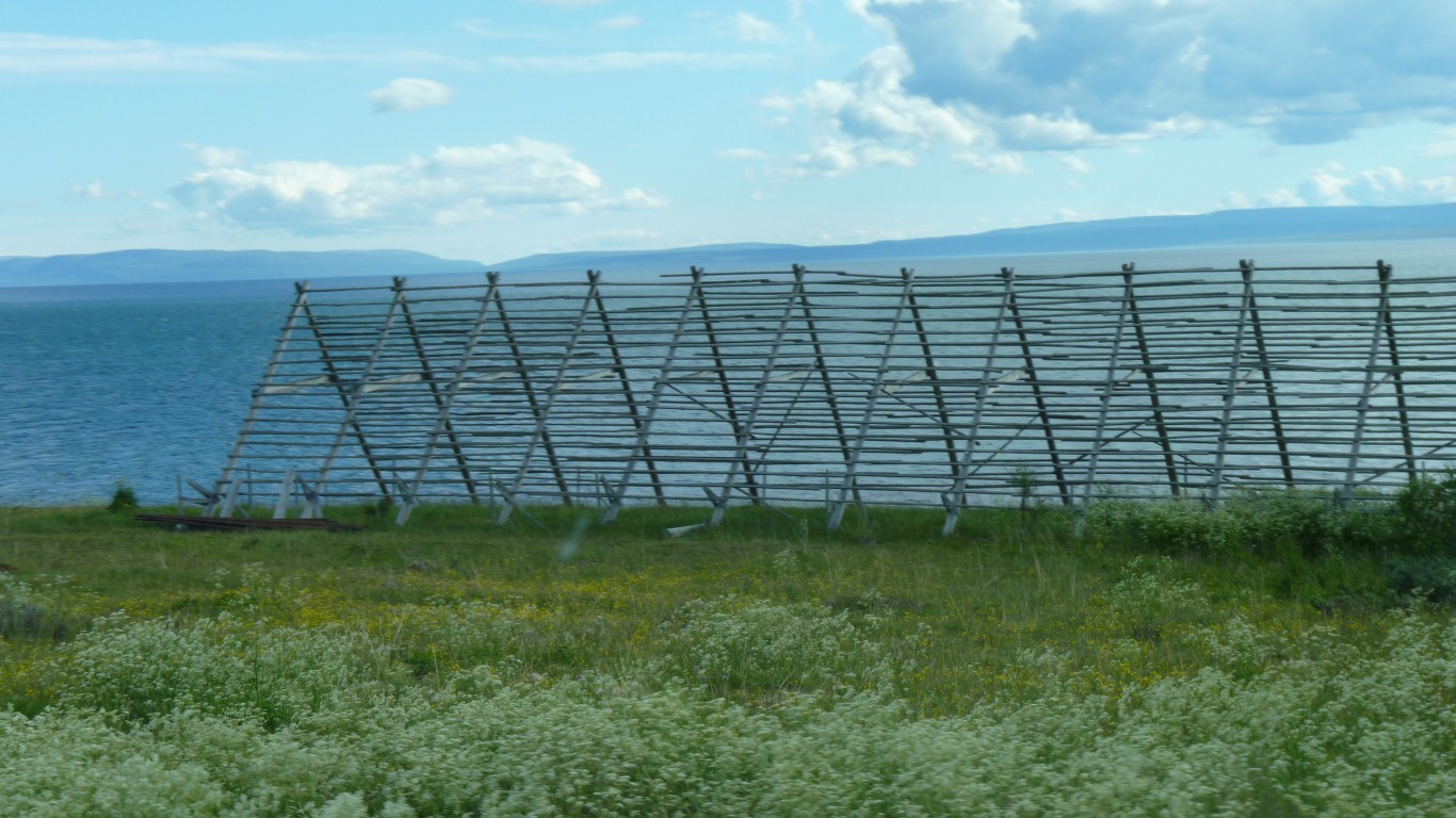
Lots of racks for drying fish.
The fish are hung from the cross pieces.
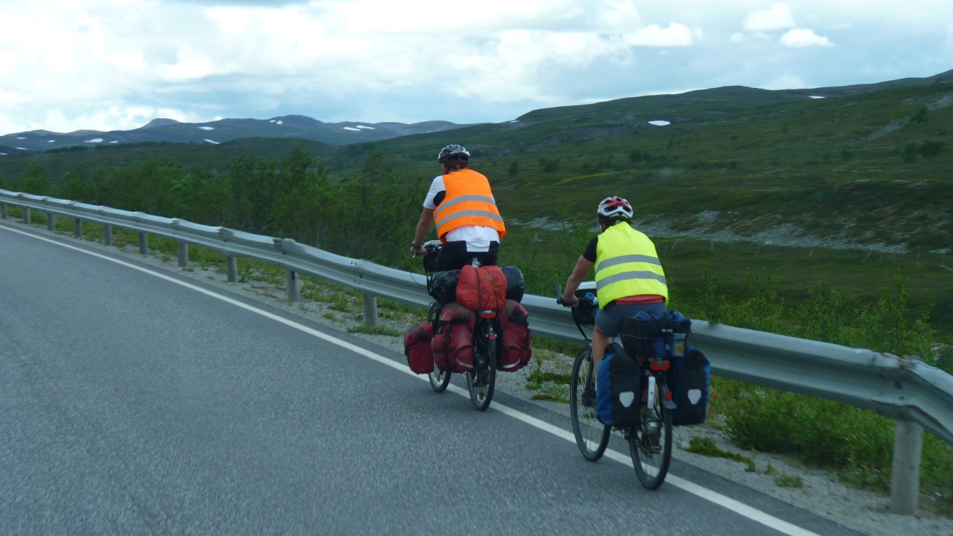
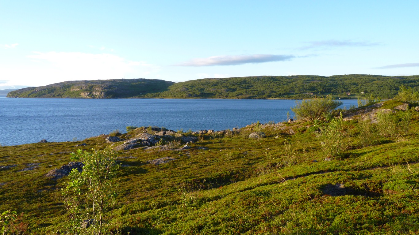
Lots of hills for them.
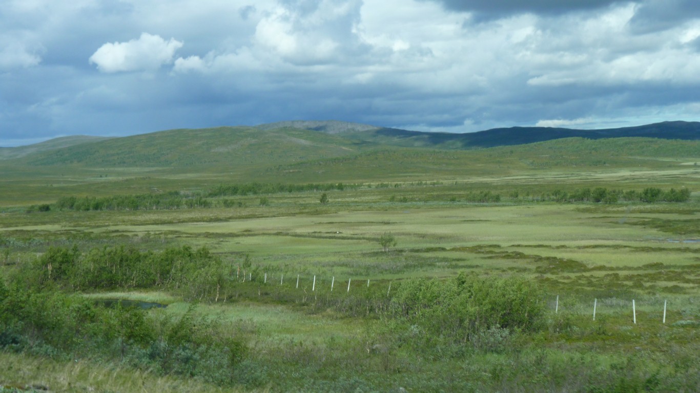
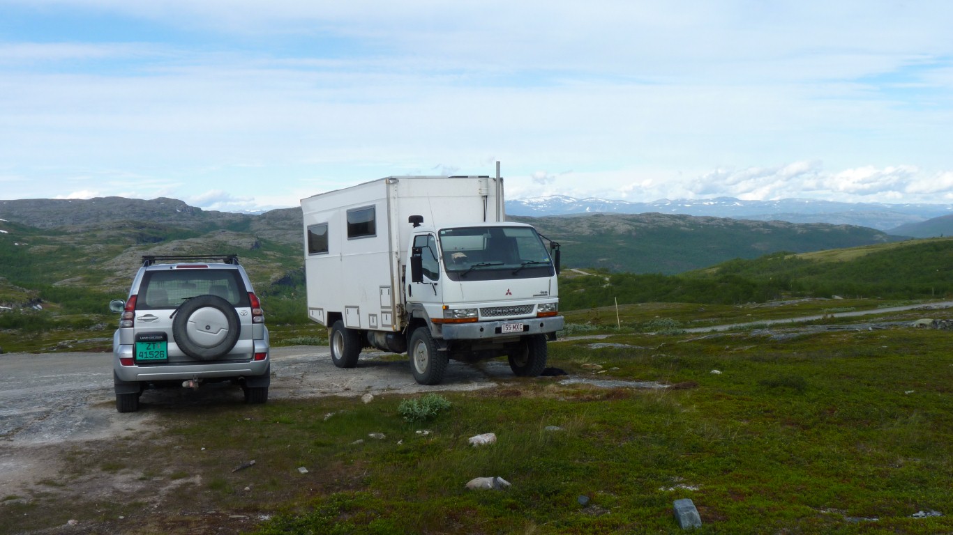
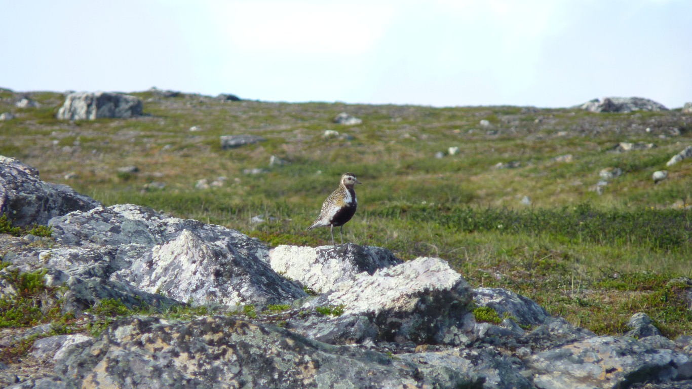
Plateau, for reindeer.
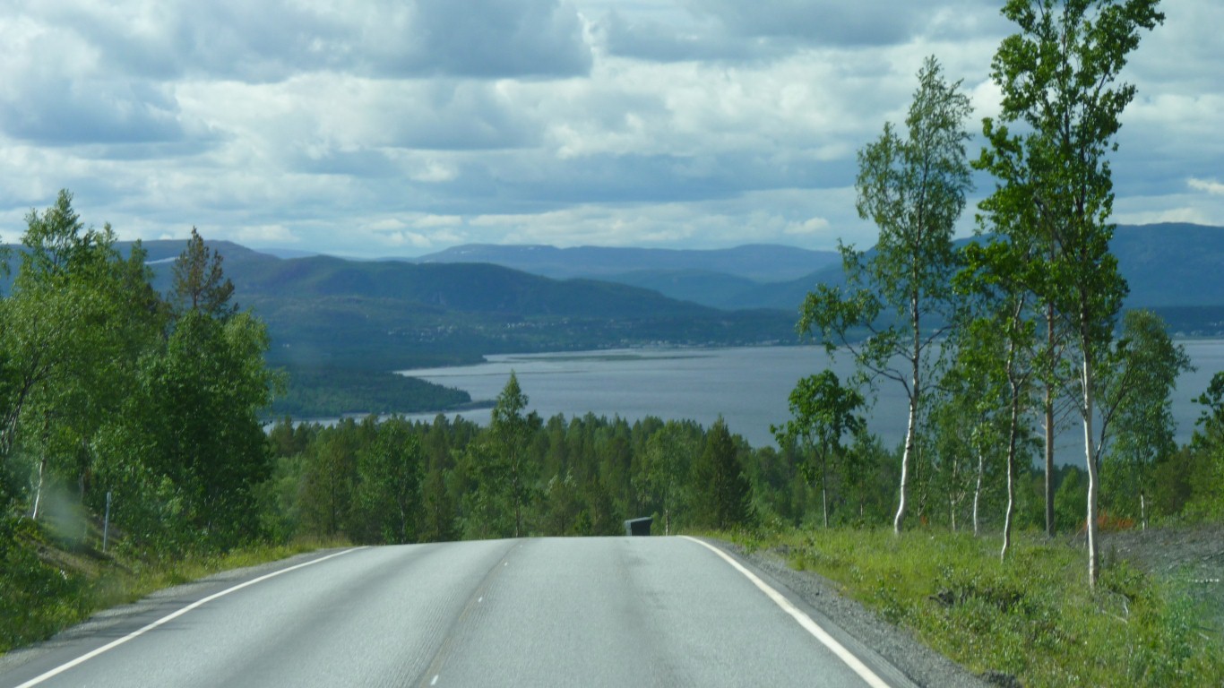
We think its easy to see where the boundaries of Saami territory are. This tundra looks like good reindeer grazing. Cattle, sheep and hay making are along the coast. Mountains further south.
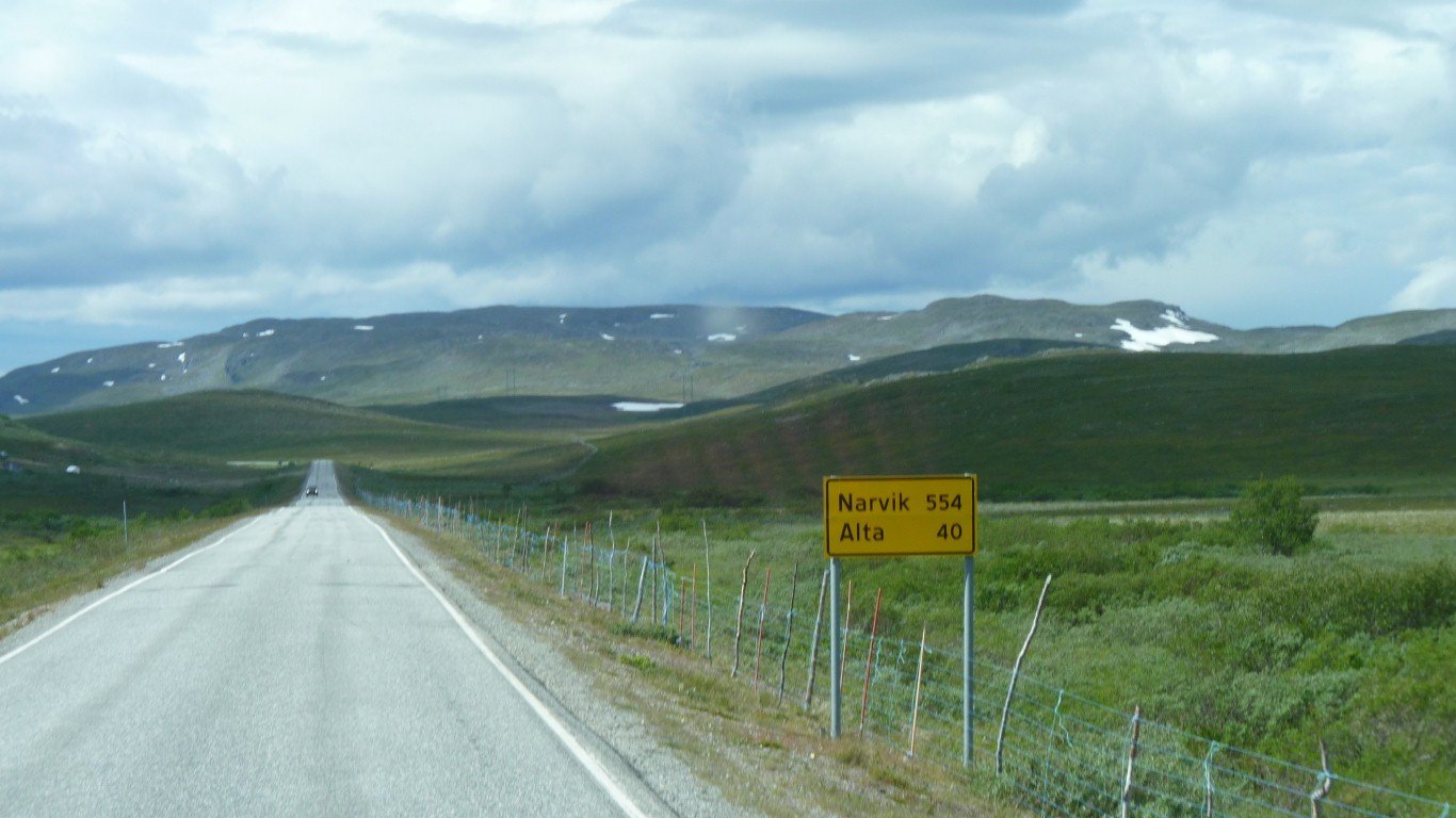
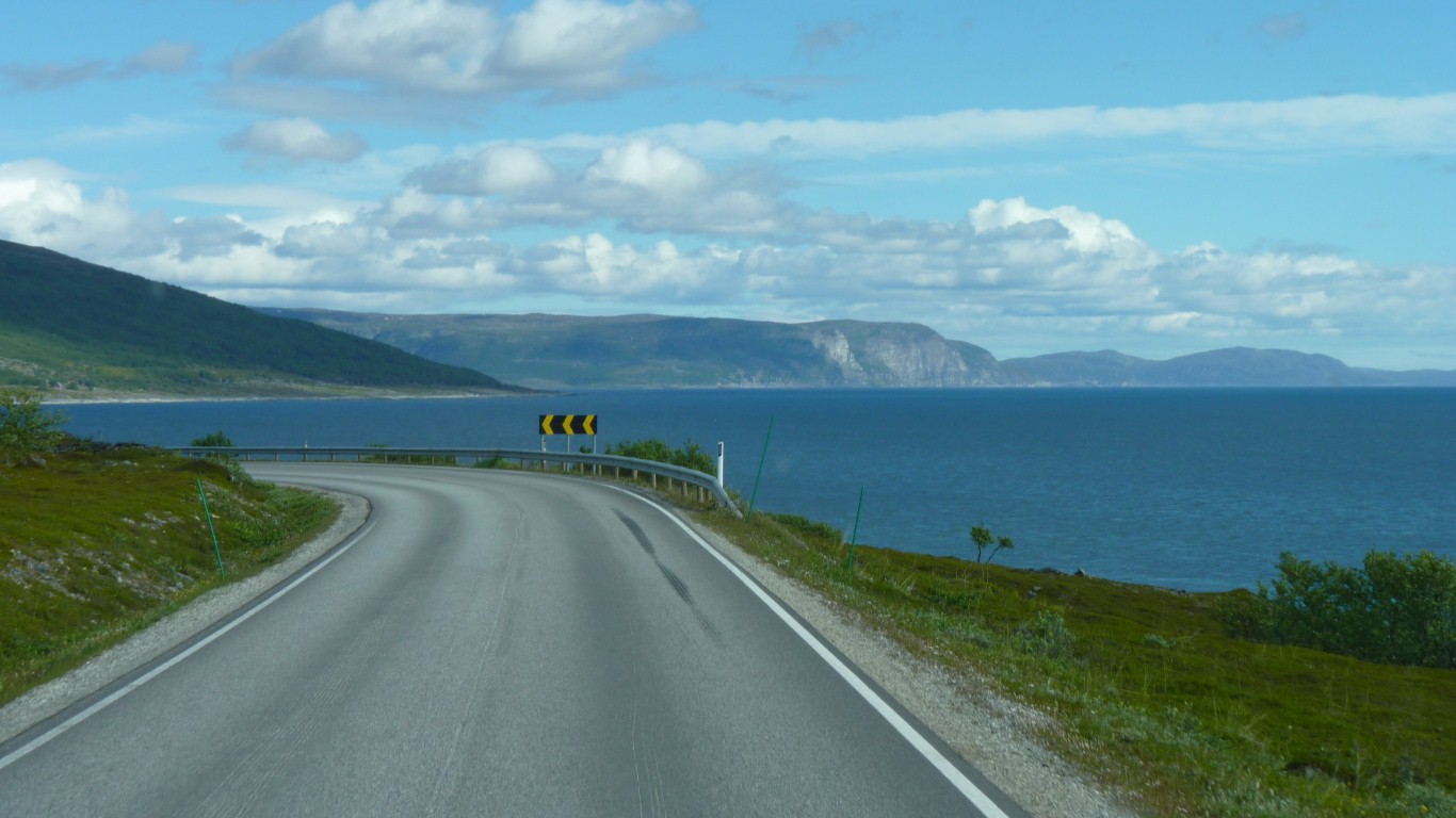
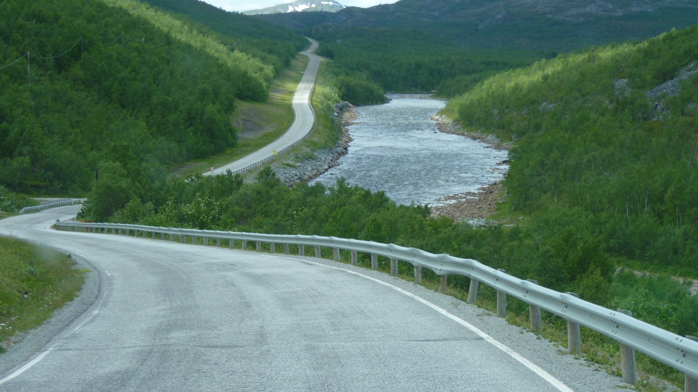
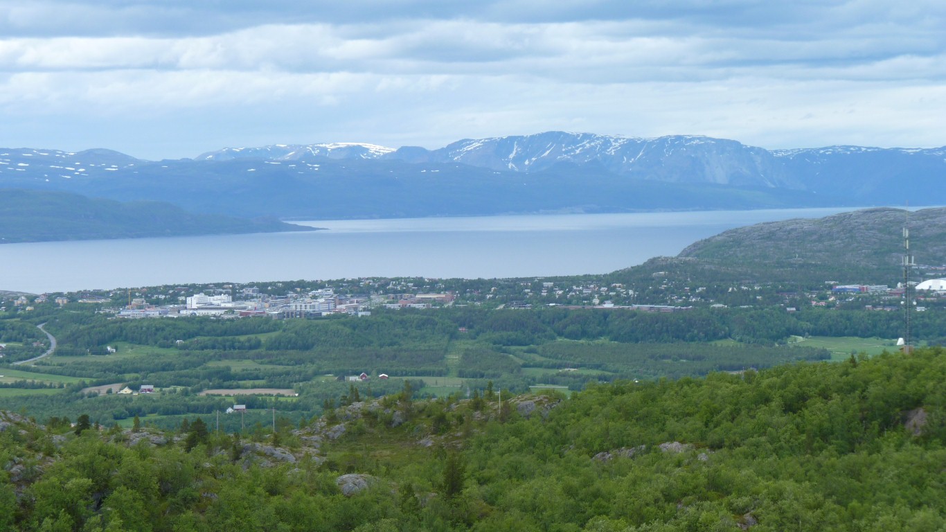
Norway is a long thin country. By the time we reach Narvik there's only another couple of thousand km to Oslo.
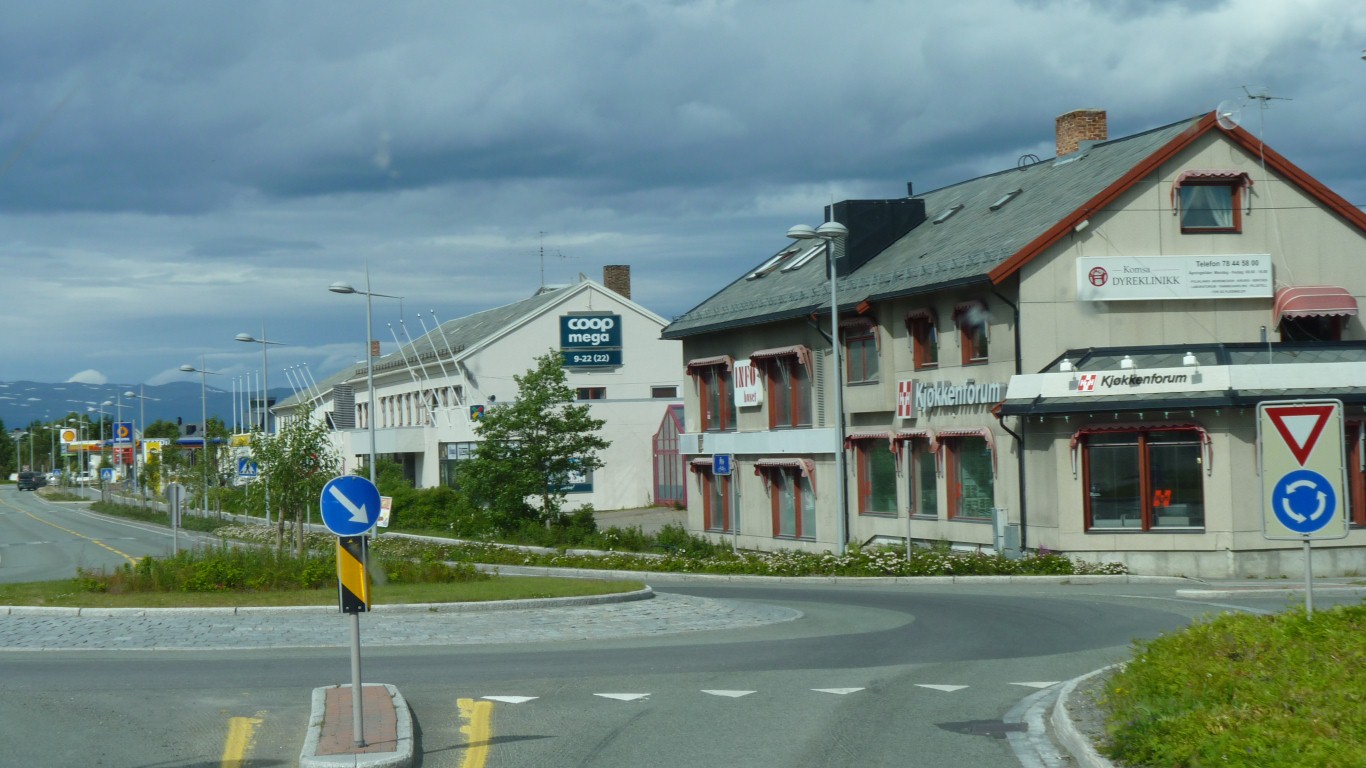
Everything closed.
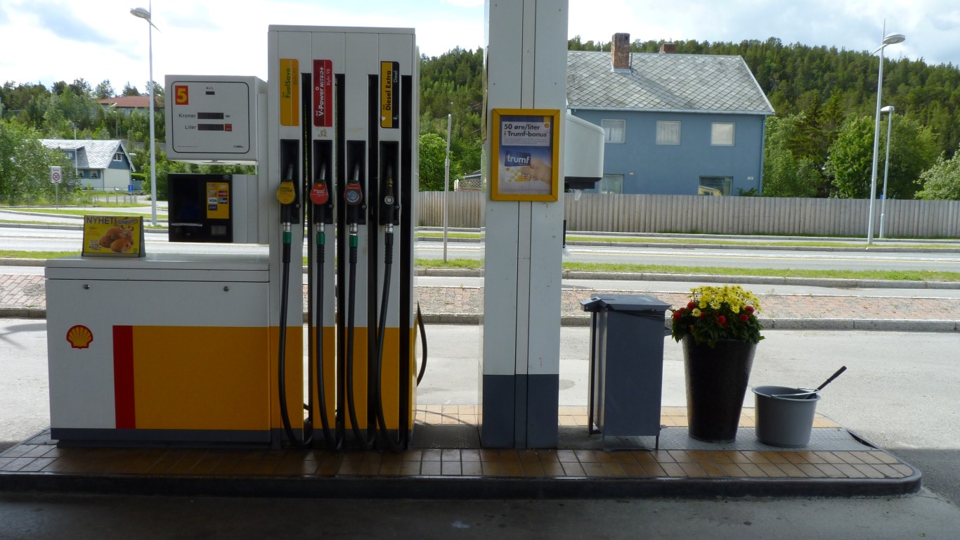
A pleasant surprise. Cheaper per litre than UK. And since we are traveling relatively slowly (max of about 60km/h that curvy and occasionally bumpy roads allow our fuel consumption and $/km are good.
About A$30 per 100 km vs A$40 in UK.
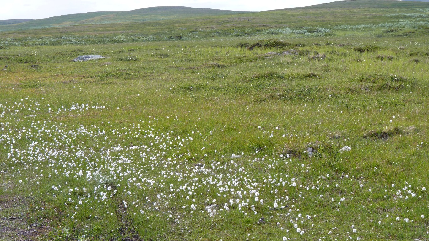
The flowers were a bit of a surprise! And apparently Alta's gardeners complain when the reindeer eat them!
It took us along a back road (round the SE of Alta).
By good fortune we spotted the sign to Lille Raipas before we reached the main road. Only about 50 km before we expected it.
Its a major point on the Struve Geodetic Arc.
Between 1816 and 1855 under the direction of the Russian Geodetist a line from Hammerfest to the north and the Black Sea was surveyed to ascertain how round the earth really is.
Total distance of the line is 2,821.853 km.
There were 265 primary points with 60 supporting points. There are apparently 34 remaining "monumented".
The surveyors measured a line where the ground was flatter then all the triangles to the high point.
The primary points on the geodetic line were where latitude was measured astronomically (from well known stars).
We previously crossed the line on October 27th last year (2011) when traveling west from Kamiants-Podilsky in Ukraine as we headed for the Carpathians.
We knew the line was there, just couldn't find enough info.
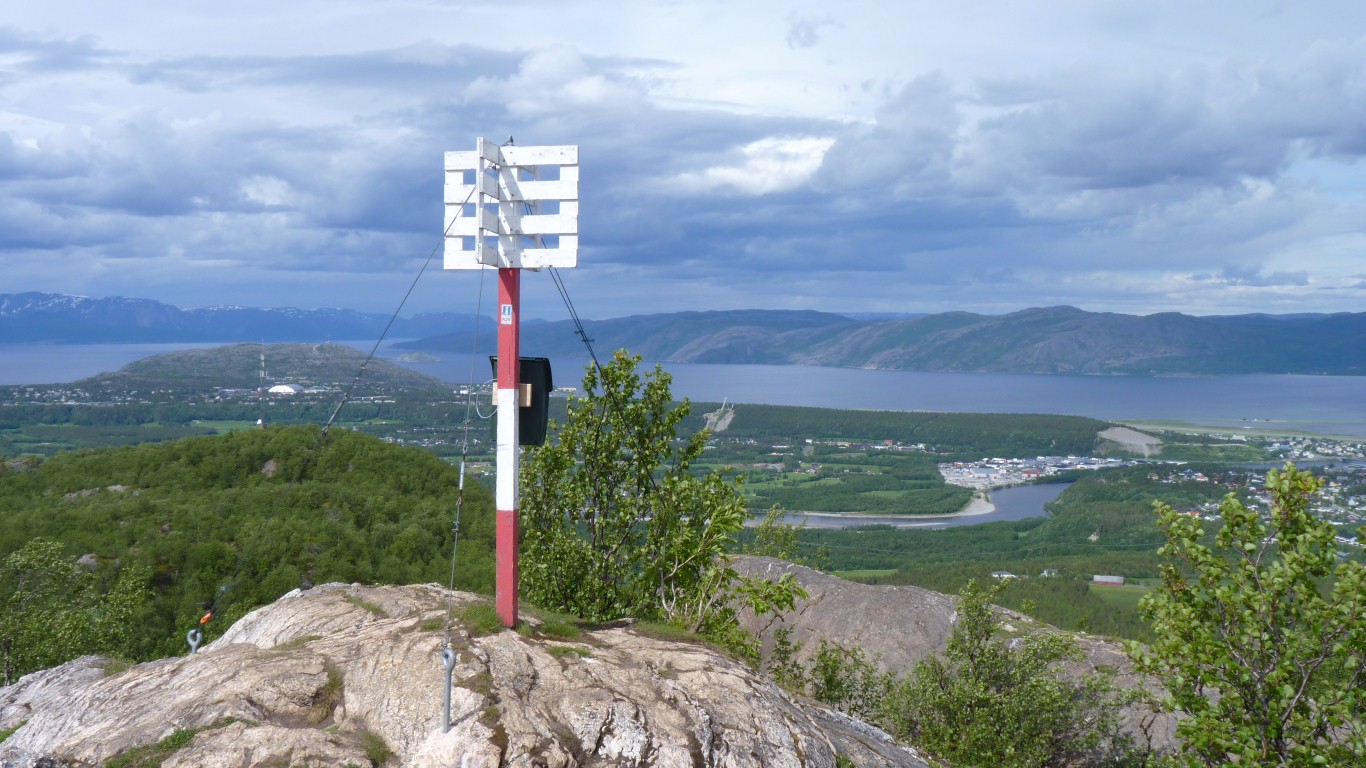
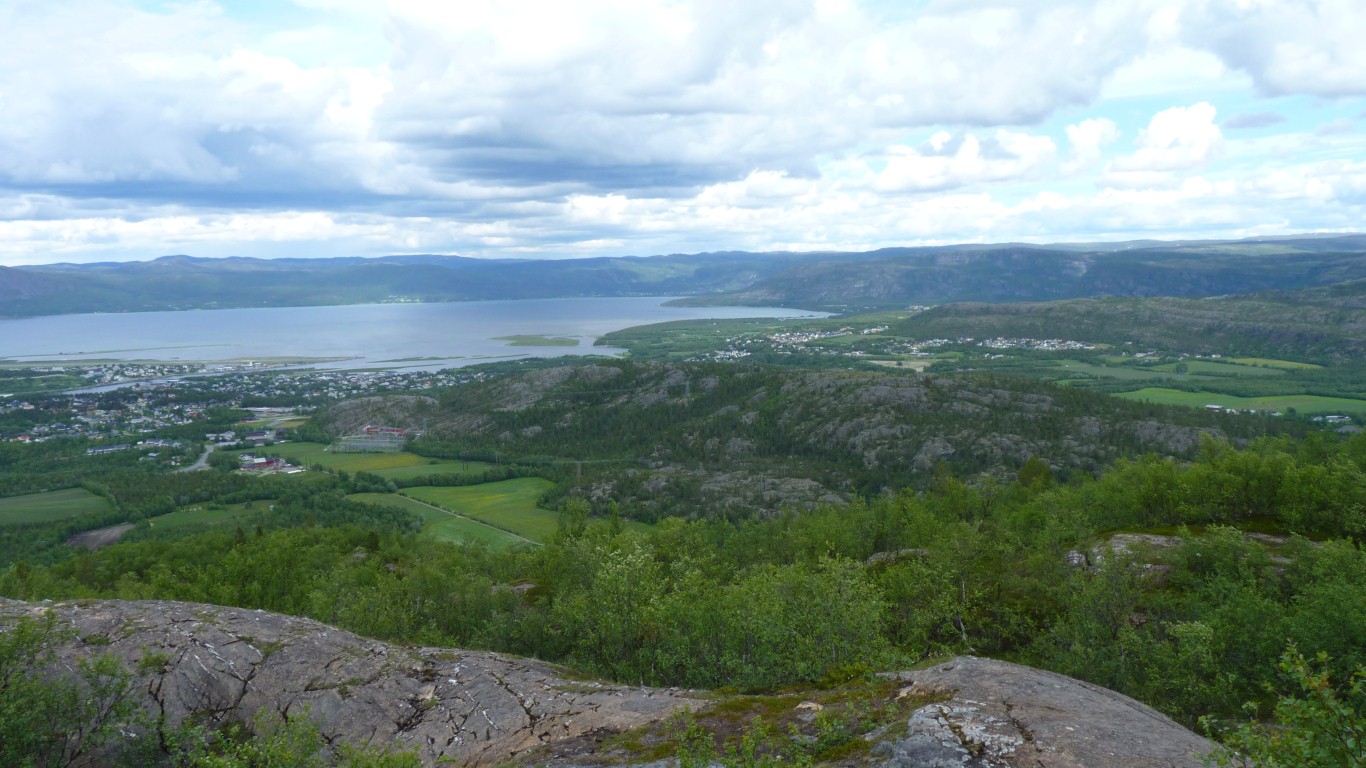
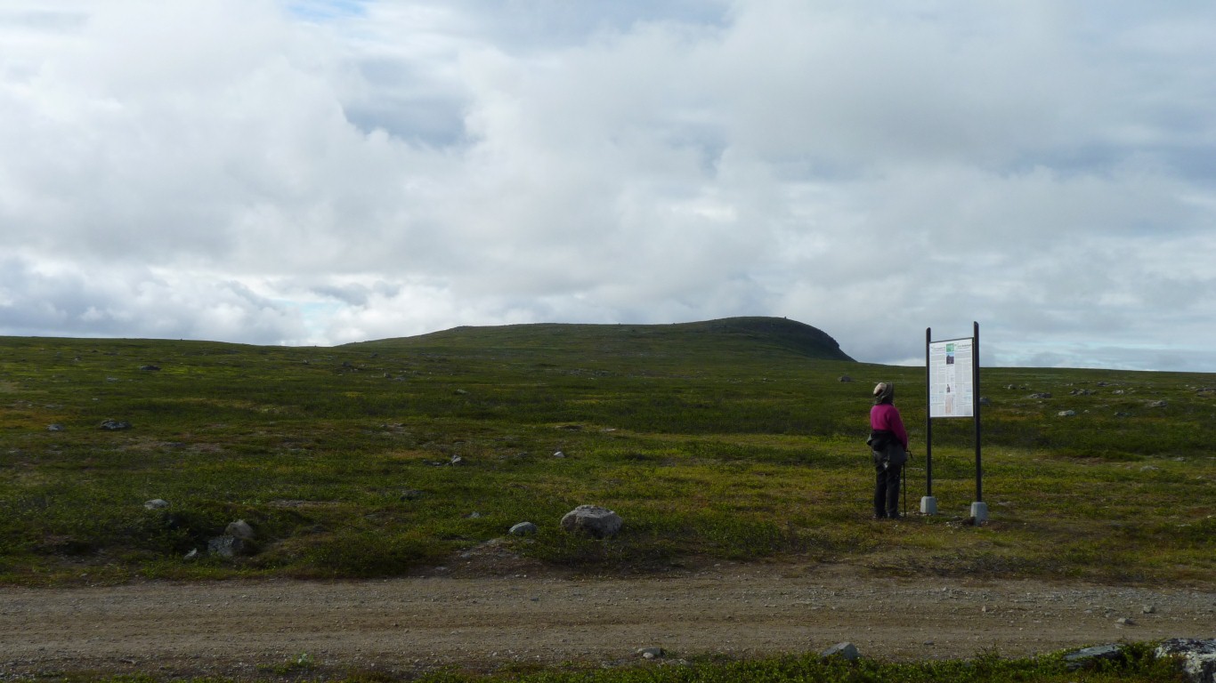
The point on the Struve Geodetic Line was a few meters to the right. Just a moments thought on our part for what was a monumental undertaking a couple of hundred years ago. And a nice view.
From the results it looks like the surveying was fairly accurate and Newton was right about the Earth being not quite round. One degree of latitude is 359m shorter at the Black Sea than the Norwegian Coast at Hammerfest.
| Year | Earth's Equatorial Radius (m) | Earth's Flattening |
| 1740 | 6,396,800 | 1/178 |
| 1858 | 6,378,360.7 | 1/294.26 |
| 2005 | 6,378,136.8 | 1/298.257222 |
Testing their new shoes and walking the dog before a 5 day hike next week.
Lots of info. Much better than a tourist info office.
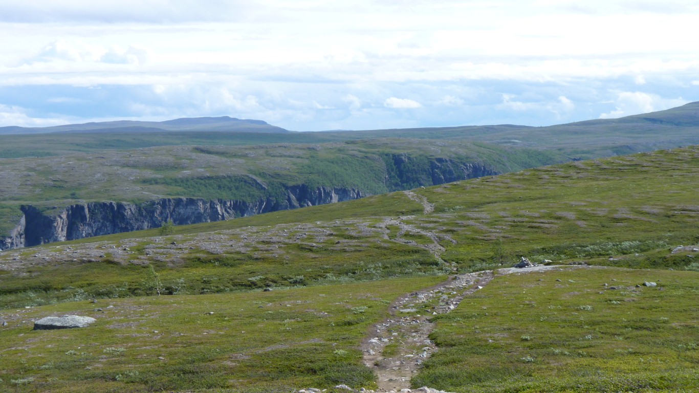
We headed to Gargia, hopefully the Alta Canyon, and an old mountain road.
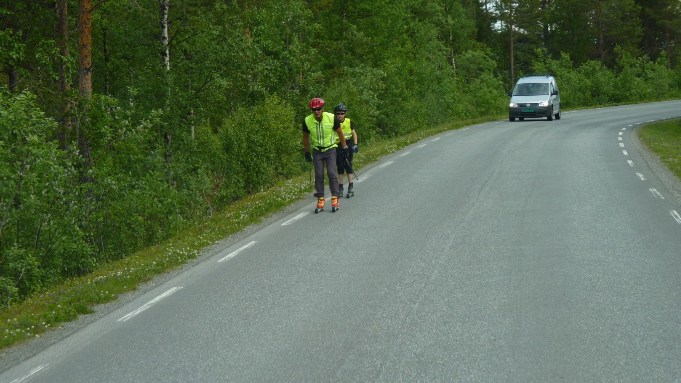
Happened upon a couple of Nordic Roller Bladers polling their way along the road. Looked like fun.
Just a few hours!
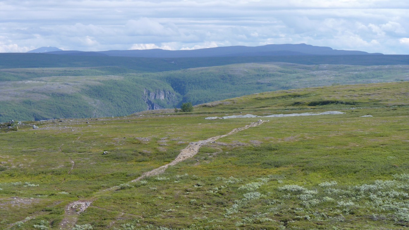
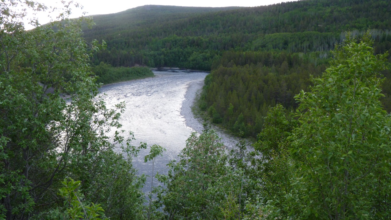
A first glimpse of the canyon.
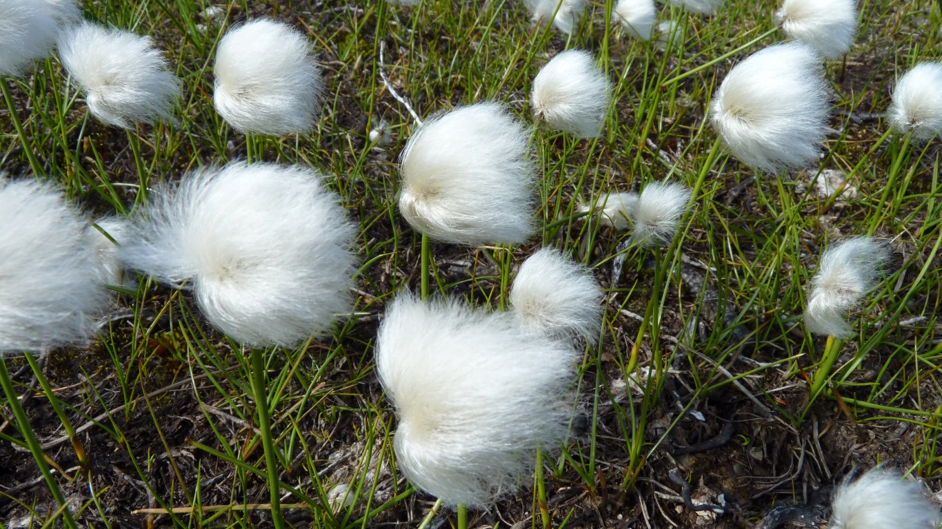
First seen in Sweden. At Store Moss way back in May as we headed north.
It must be getting warmer!
On our tourist map its the Alta Canyon. On the small maps by the roadside its the Savco Canjon.
There's a small road on the other side, bus tours, and boat rides.
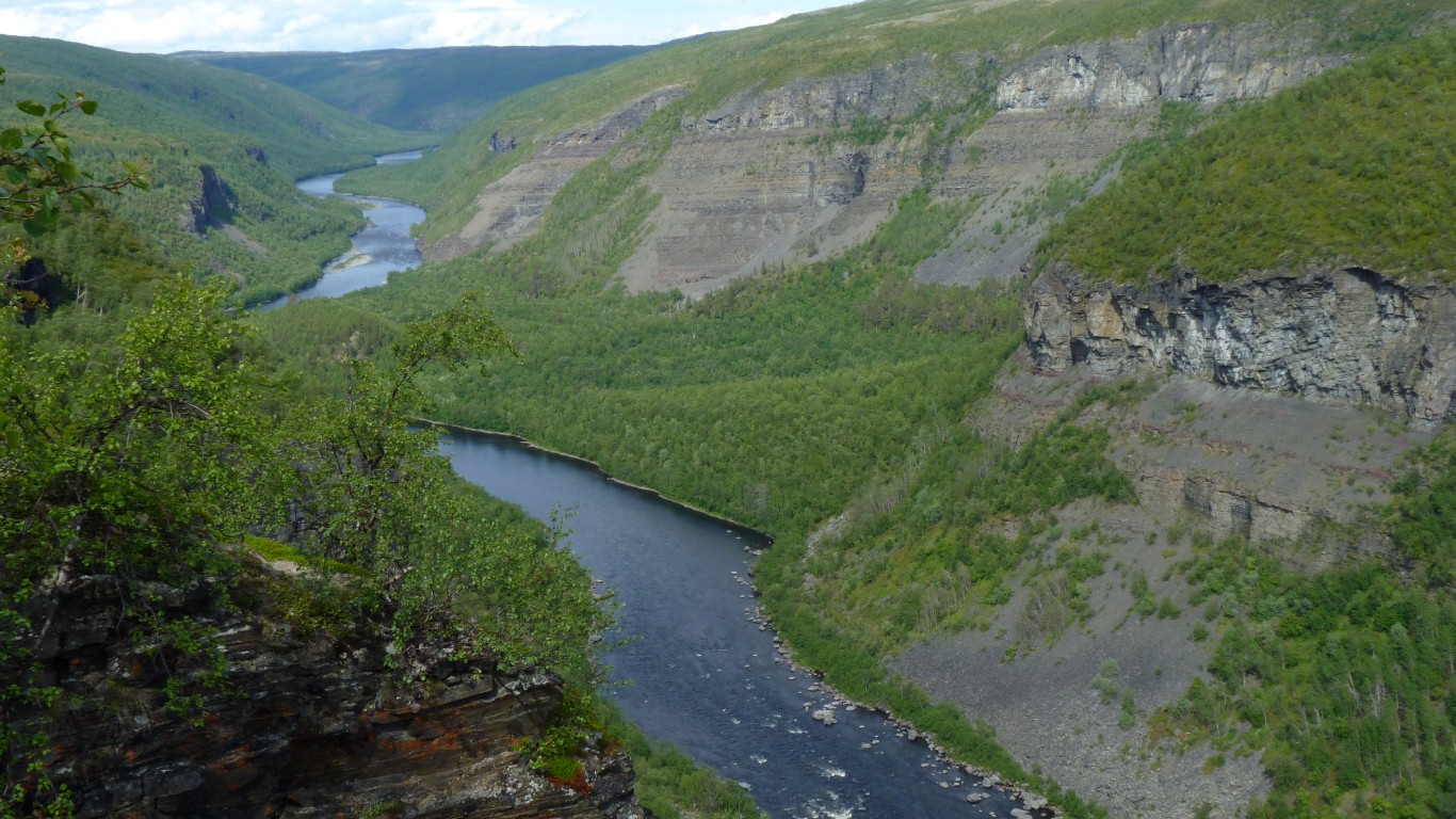
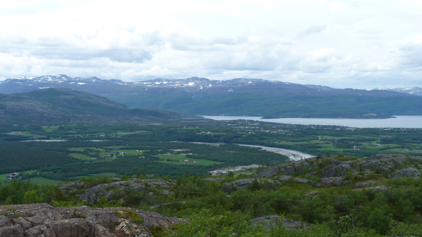
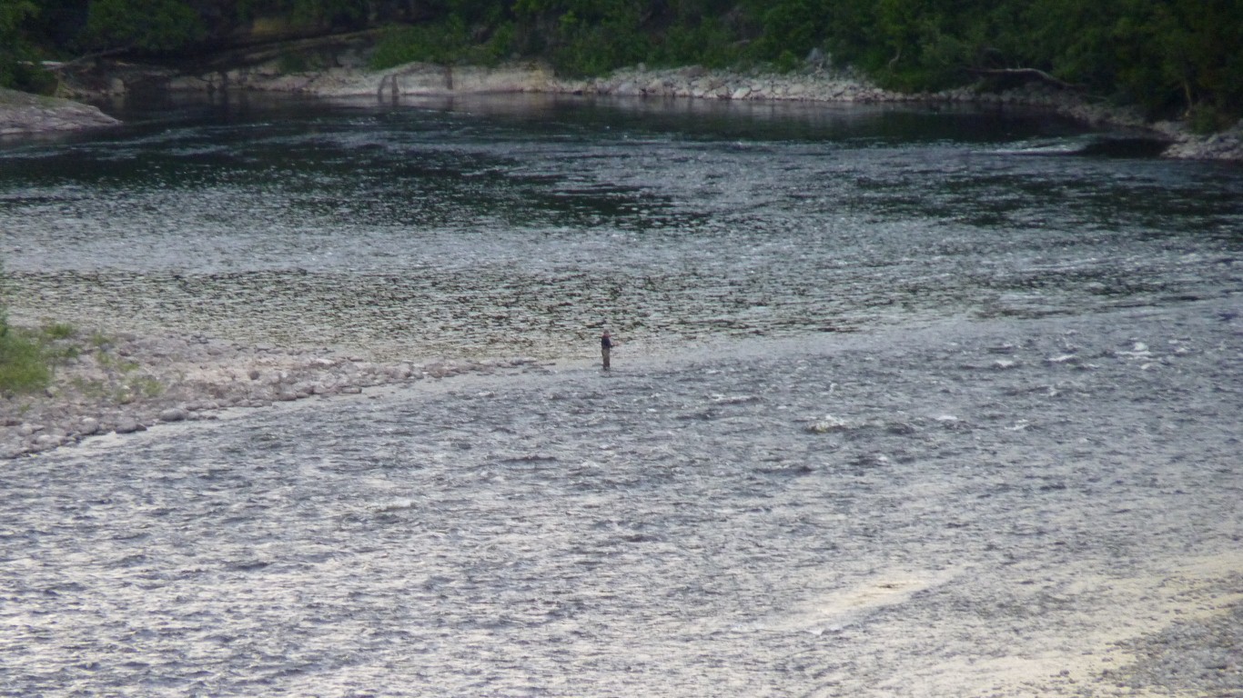
Looking down river. There's some rapids below us. As far as boats can travel. A path in the bottom. Then more boats.
We are about 300m above the river.
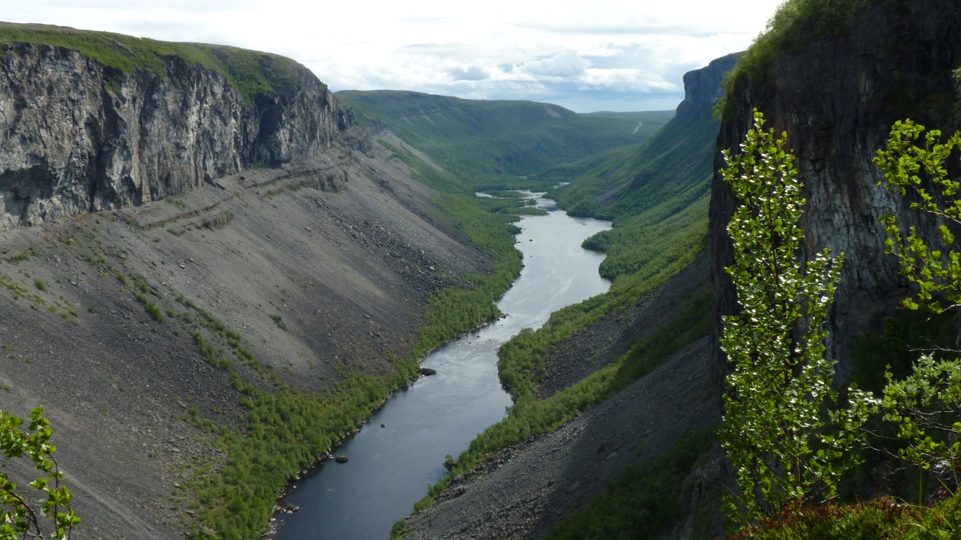
There's a lodge of some sort where the river narrows in the distance.
Ali steadied me as I took this photo (and a deep breath).
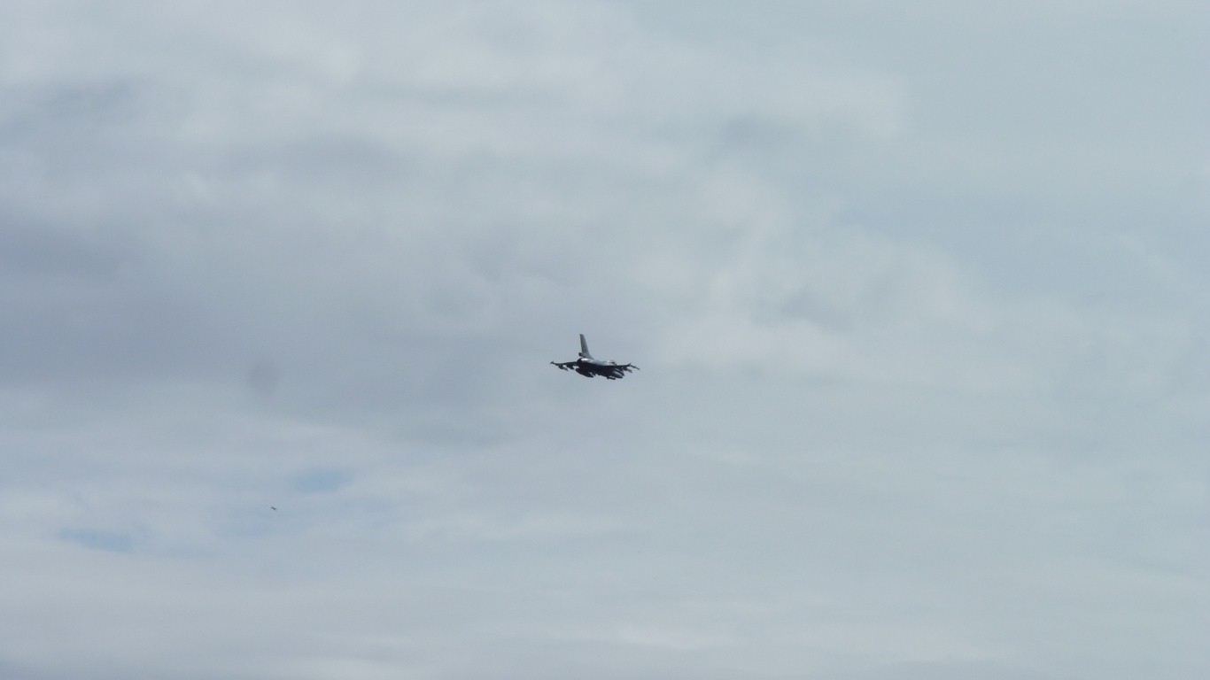
They passed below us rolling to round the bends then rose shortly after.
Quite a sight. Not quite quick enough with the camera!
There's an air force base at Alta.
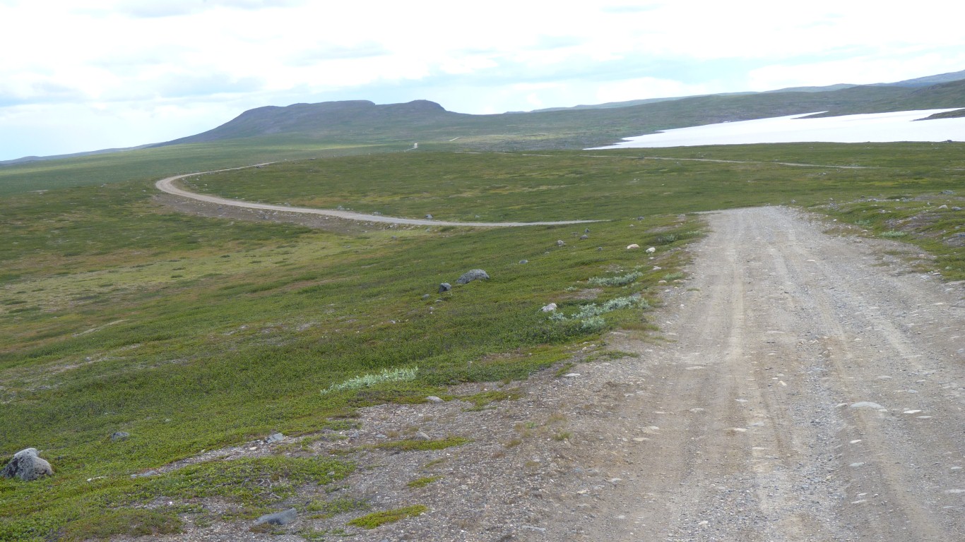
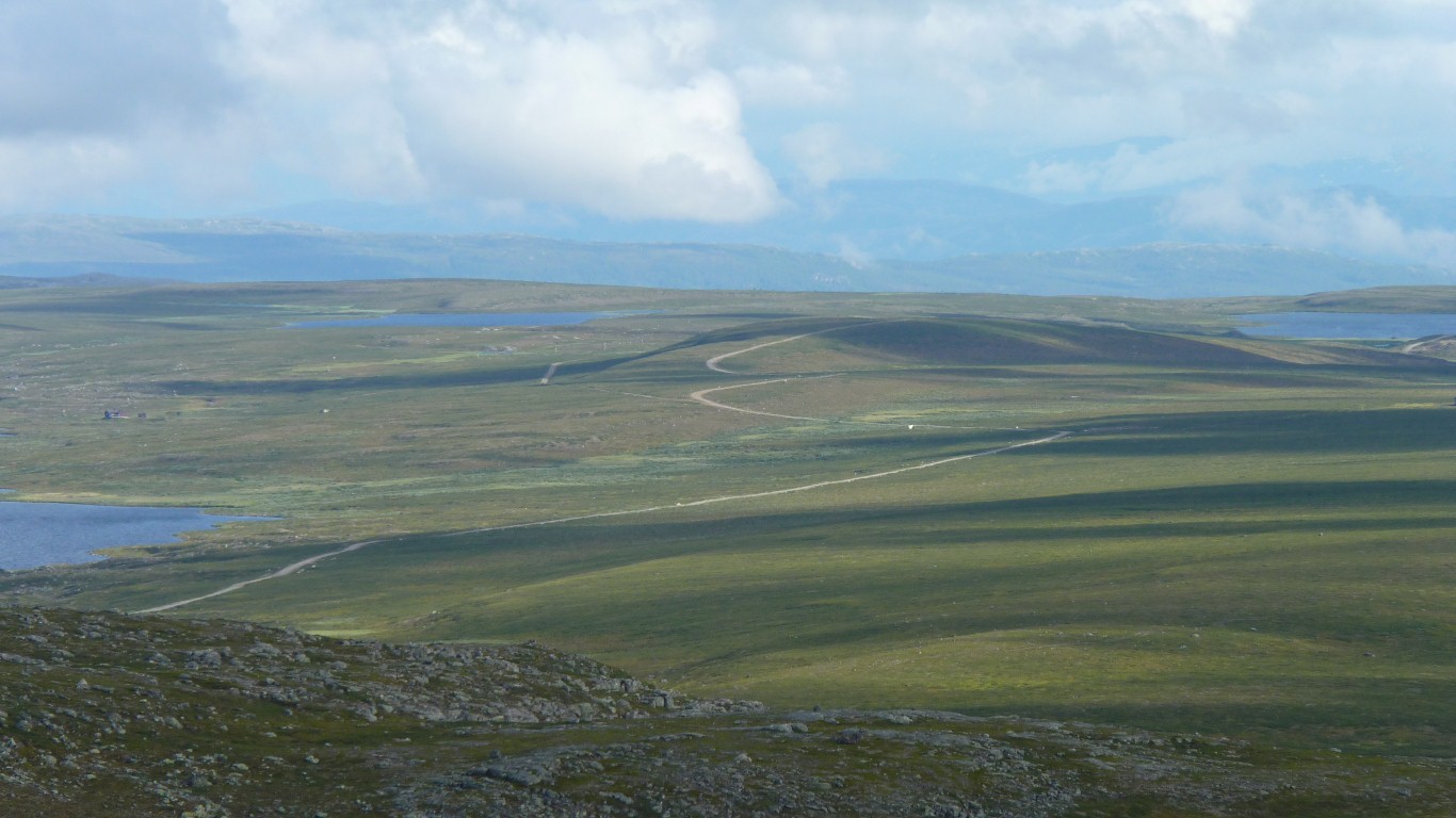
Occasional boggy bits but generally easy going.
There's been a route this way since the stone age. In 1798 it became a postal route, using reindeer sleighs. In 1928-39 this road was built.
The new road in the valley was built in 1960's.
Norway was once part of Denmark until it was handed to Sweden after a war. It became independently Norway around 1900.
The population have voted twice to not join the European Community. And objected so much that Lidl tried then closed their stores. Food is expensive.
This road crosses Finland to Sweden.
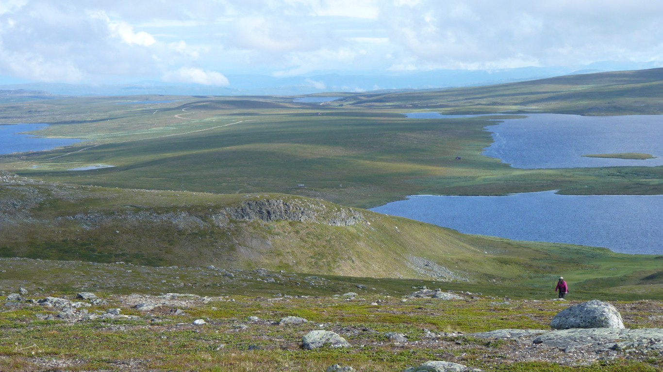
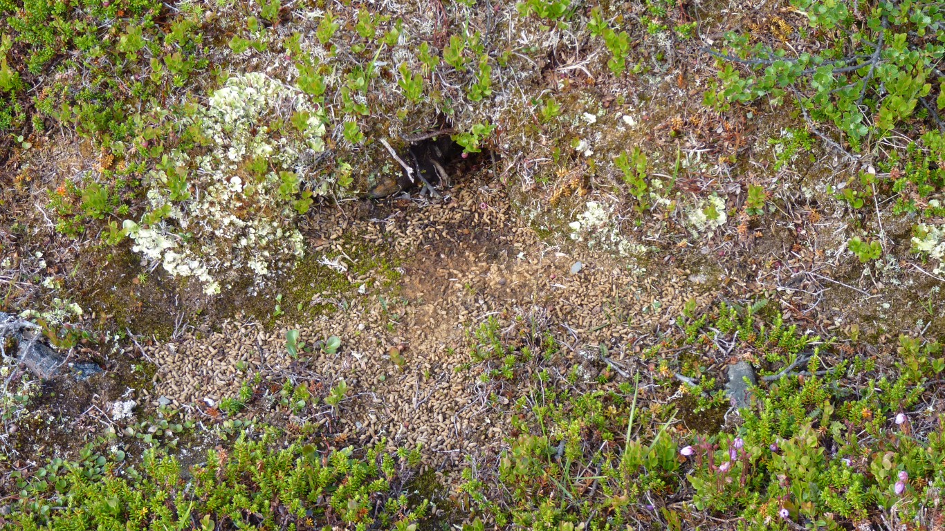
I can't imagine how the reindeer survive up here.
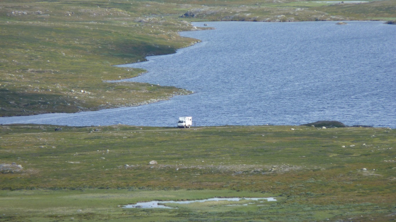
We camped almost at the end of this lake. At the beginning of a track to another geodetic point.
"Helped" a couple of people "lost" looking for Suolovuobmi.
They couldn't pronounce it either.
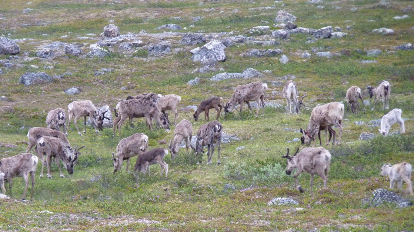
A herd of about 150.
Still exciting. Not sure what we'd do if they were cattle.
And now we know what they sound like .... a sort of "rrrrrf". Not quite dog like. Not as explosive.
Fairly close. Or so we thought.
The real Lodken is the next hill over. The one we couldn't see.
But we didn't know that when we set out.
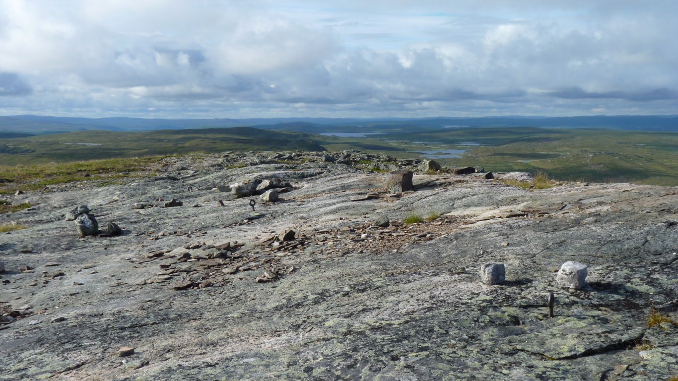
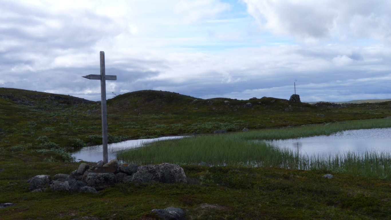
Another Geodetic Point on the arc.
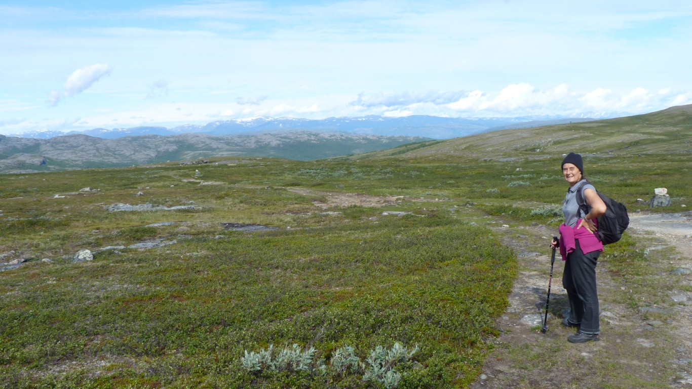
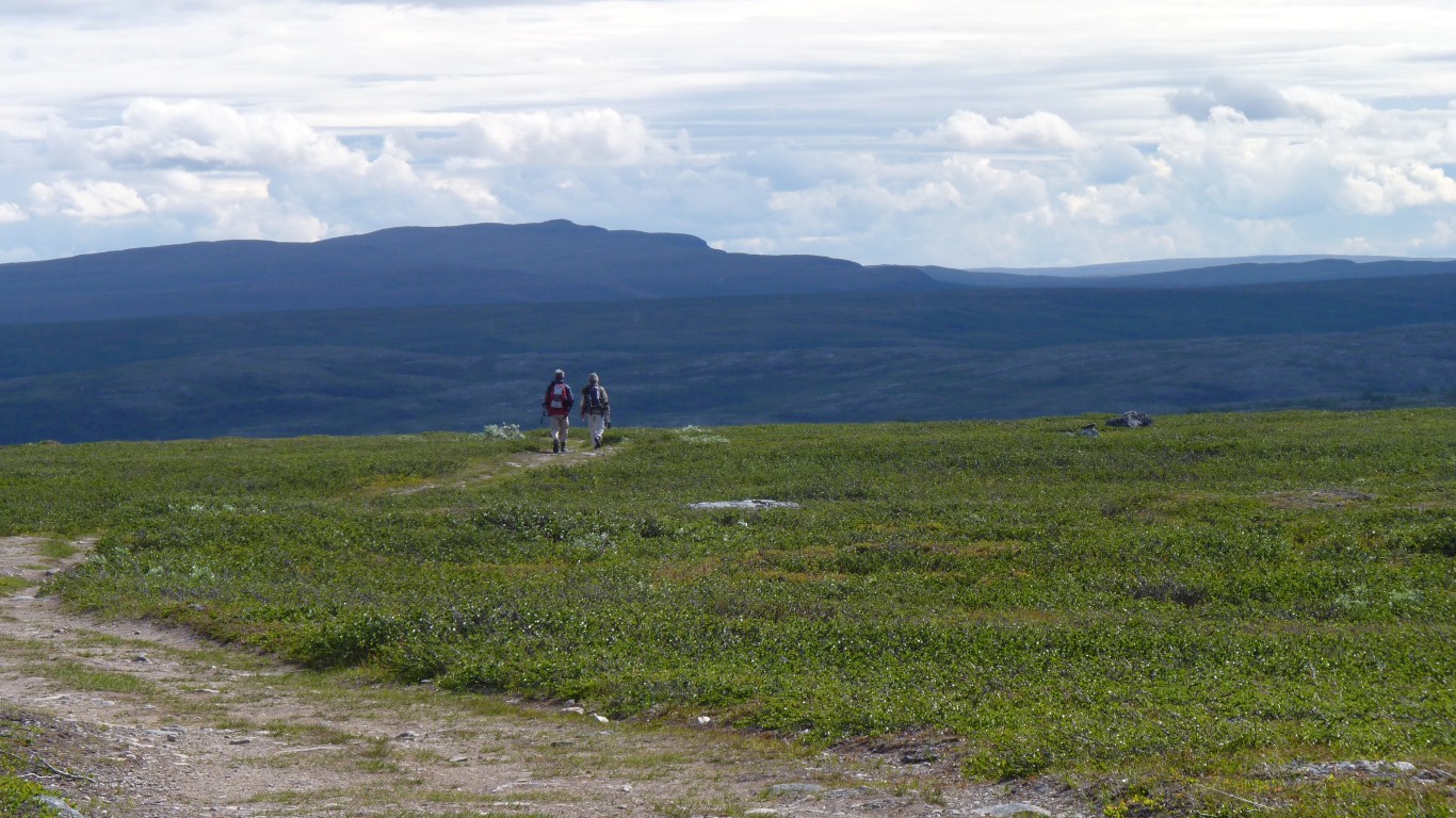
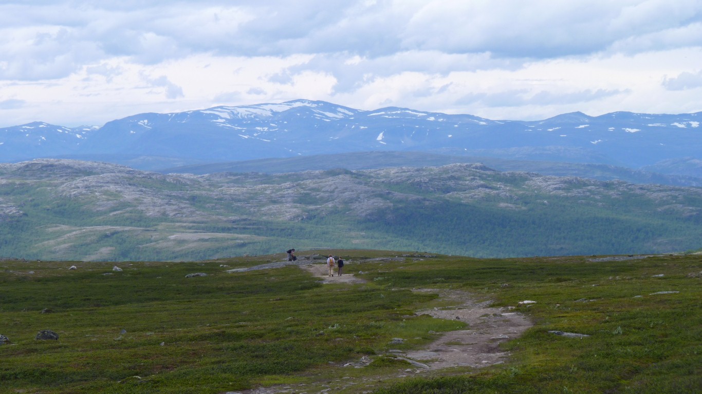
We rose early for a brisk morning walk.
We think we've discovered "perceptual navigation".
We followed the track from the sign which looped behind the hills then headed south. So we set off across country up a ridge.
From here we headed north to the next hill.
We've really had a succession of navigational accidents since Alta which resulted in us ending up where we wanted to be while not really knowing where that was..
And Lodiken is a bonus we didn't expect. Just saw the sign by chance.
N 69.6644, E 23.6022
Somewhere over there is Lille Rapais.
I have a new admiration for 19th century surveyors. I can't even see it let alone measure an angle. There were probably a couple of minor points in between.
It wasn't a single line, more a series of triangles with a zig-zag between the points.
International cooperation, selection of the points, repetitive methodical measurement, everyone involved using the same techniques, reaching these places with all the equipment, and taking the sightings. No wonder it took so long.
Army surveyors and only two countries probably helped. The line now crosses ten countries.
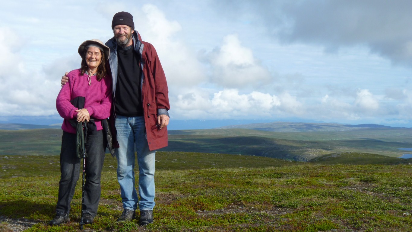
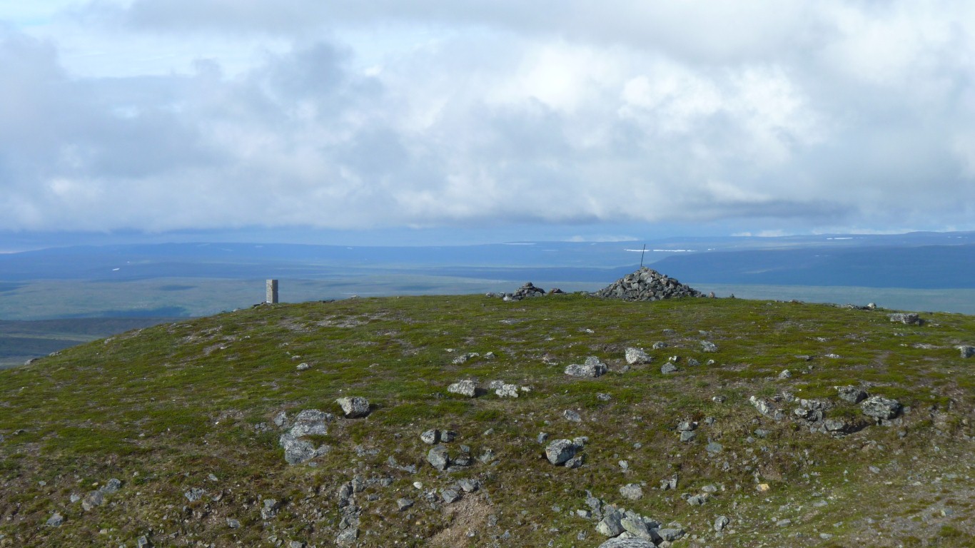
On top of Lodiken.
Thought a photo of us was better than a photo of a non-descript concrete post so stood the camera on it.
There are some cairns for us to follow down from the wrong hill but there's no foot worn track. No wonder we couldn't find the way up.
And if we had we wouldn't have got to where we thought we wanted to be.
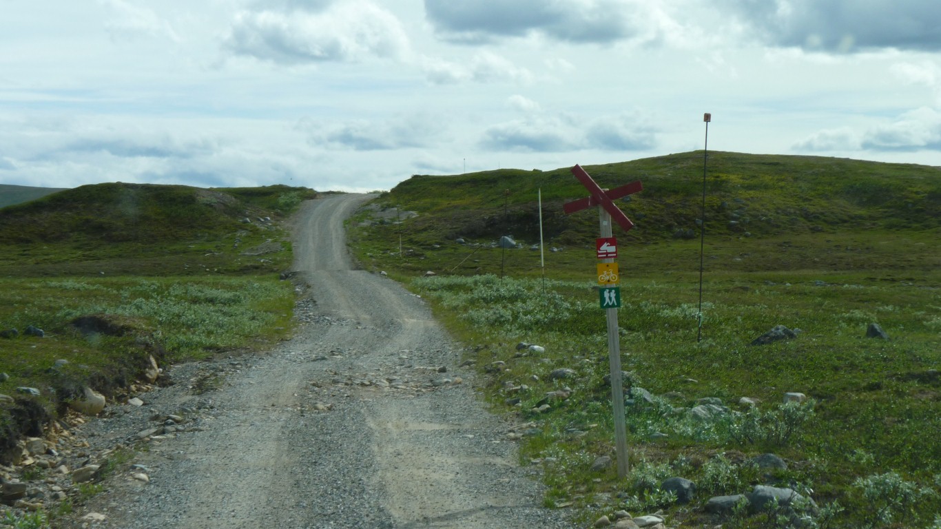
The arrows point to Alta.
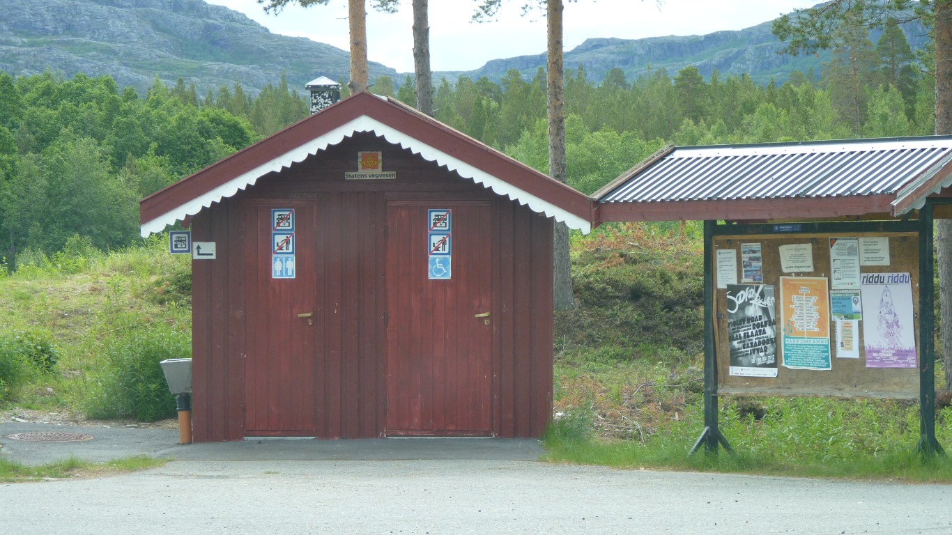
The Norwegians are very civilised and, at least around Alta, have loo cassette emptying as part of the loos in rest areas.
Just as well as the ground is generally rocky.