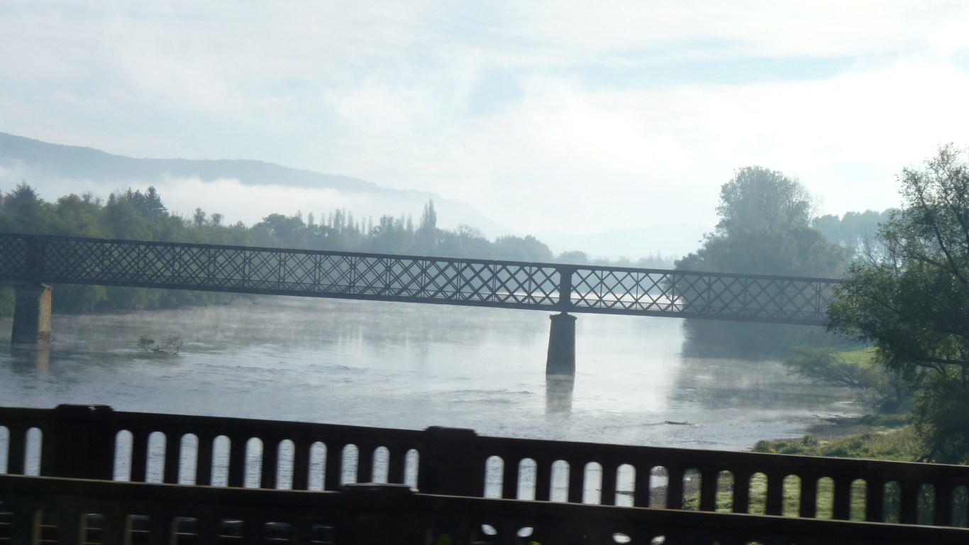
First crossing La Dordogne. A bit of mist on a just above freezing morning.
One day we'll figure out why some French rivers are masculine and some feminine.
Either that or we'll learn that they are all one or the other.
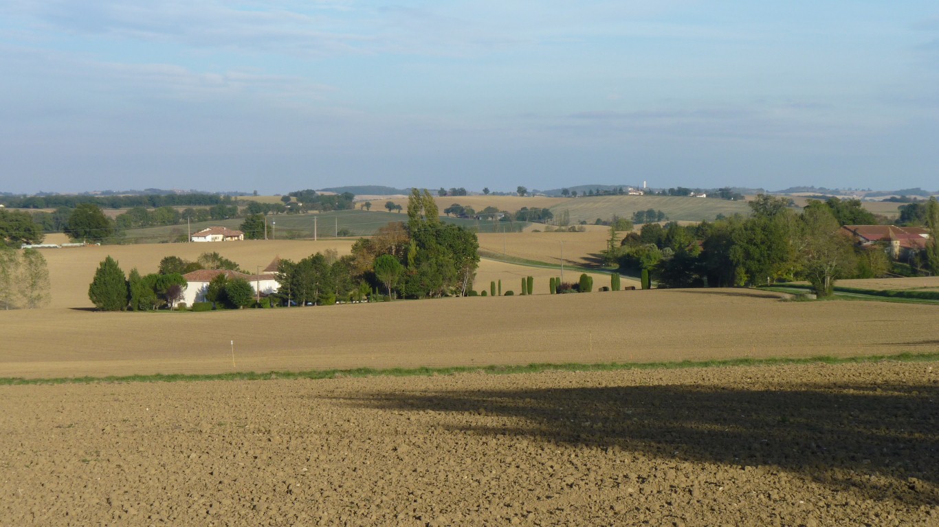
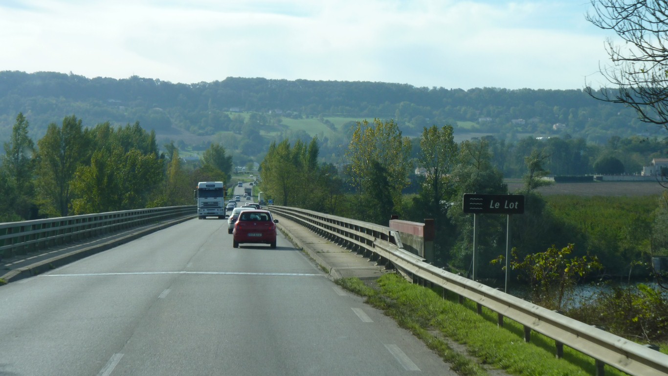
Rolling farming country. Lots of grain silos.
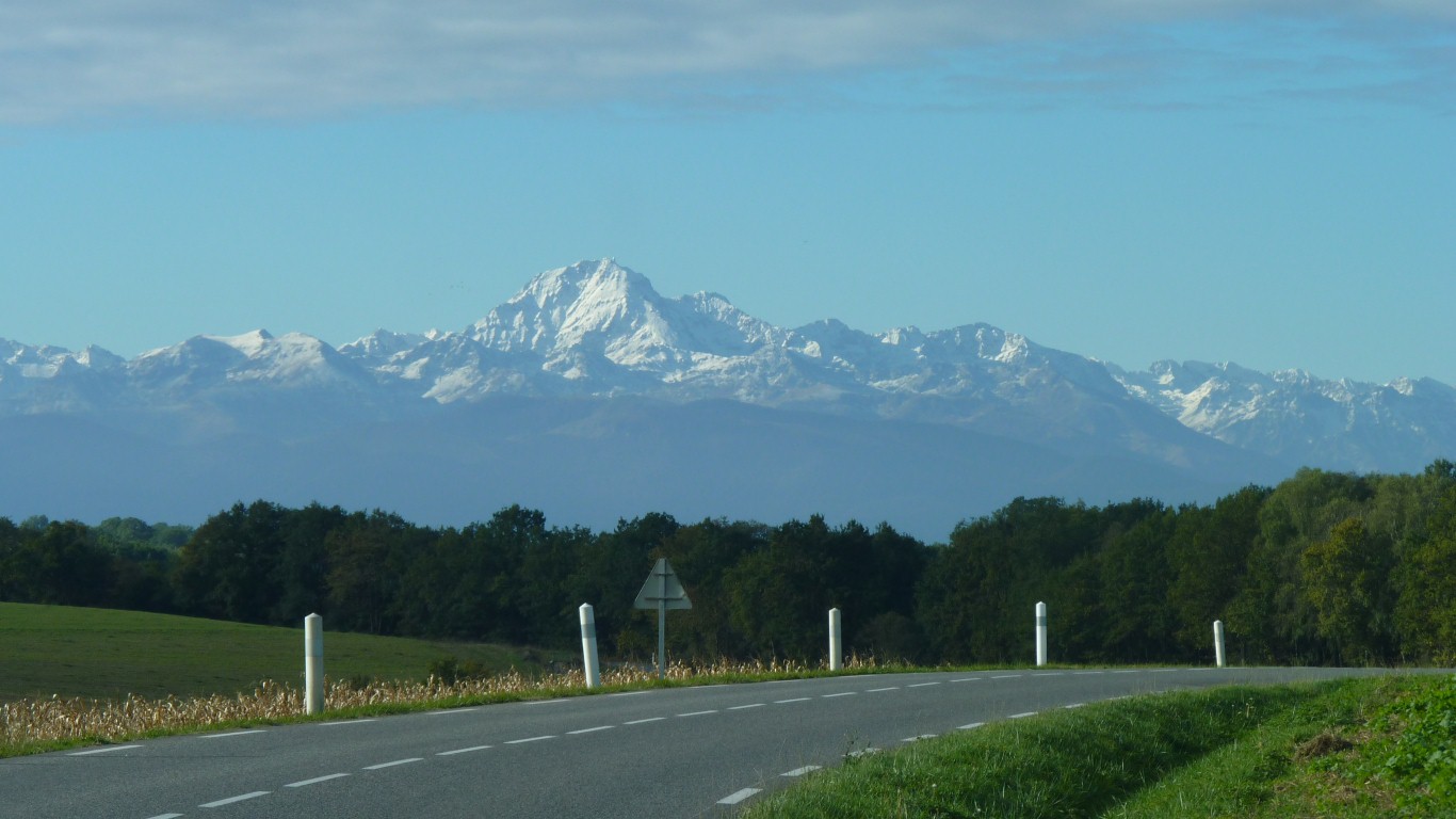
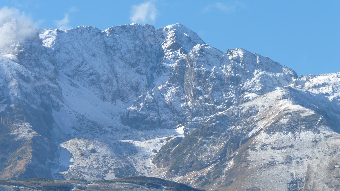
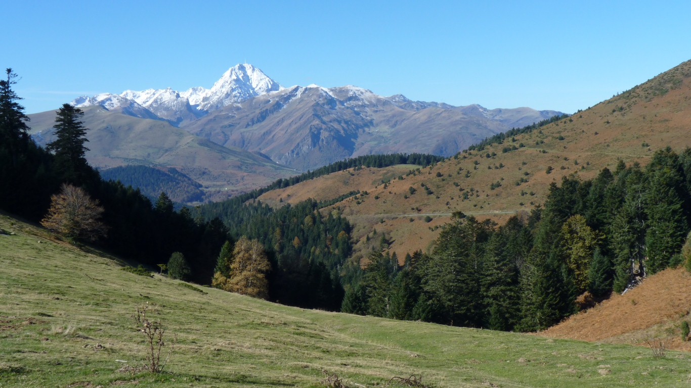
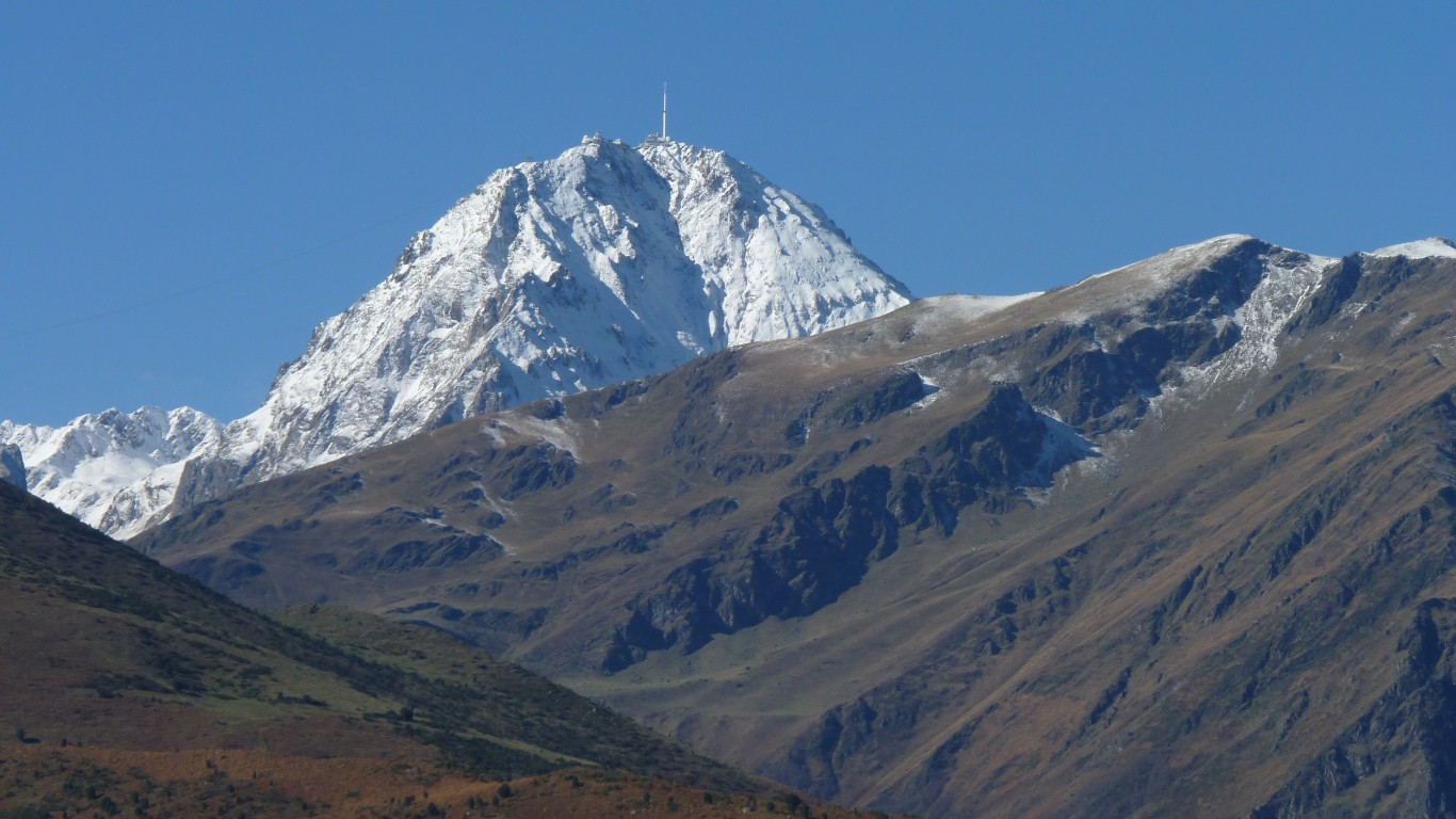
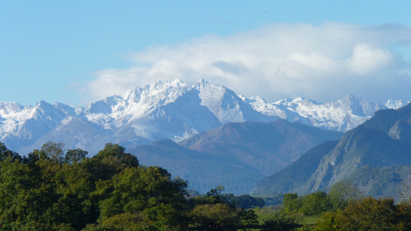
It cleared as the Pyrenees appeared.
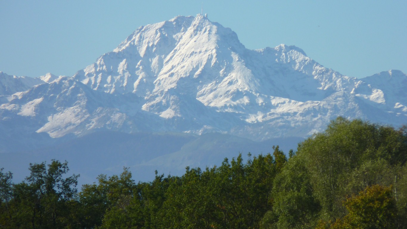
I guess its the big one in the middle.
Its full name is Pic du Midi de Bigorre. 2877m. There's at least one other Pic du Midi nearby!
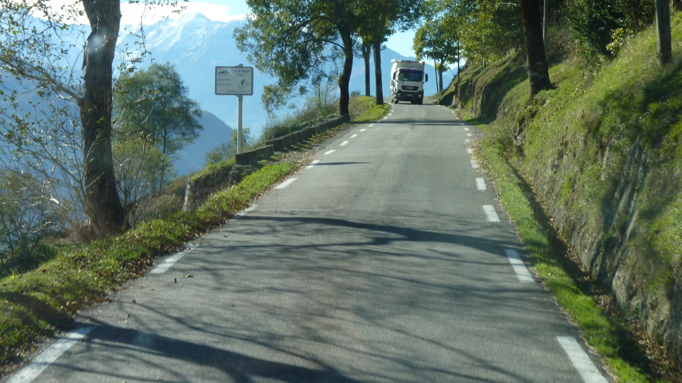
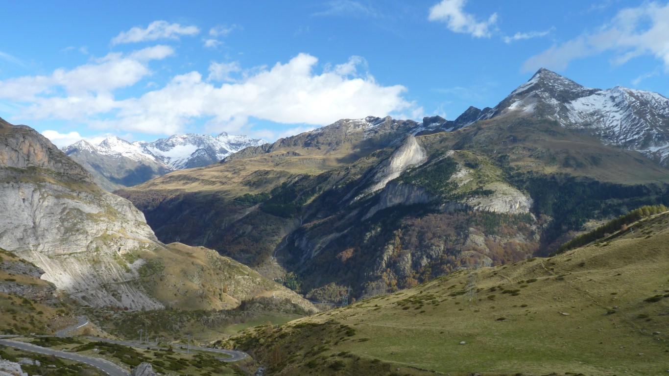
So up the road to Col de Aspin.
Wide enough to pass whatever was coming down. We pulled over a bit just before the shadow.
Someone has been here before us! No parking for camping cars between 19:00 and 07:00 hrs.
Yes, its a cable car to the top.
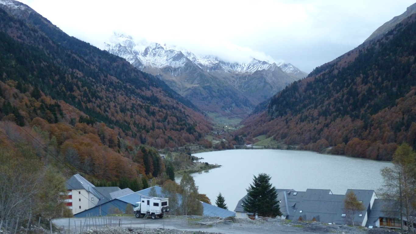
We returned here for the night.
We've seen the piccies from the Tour de France.
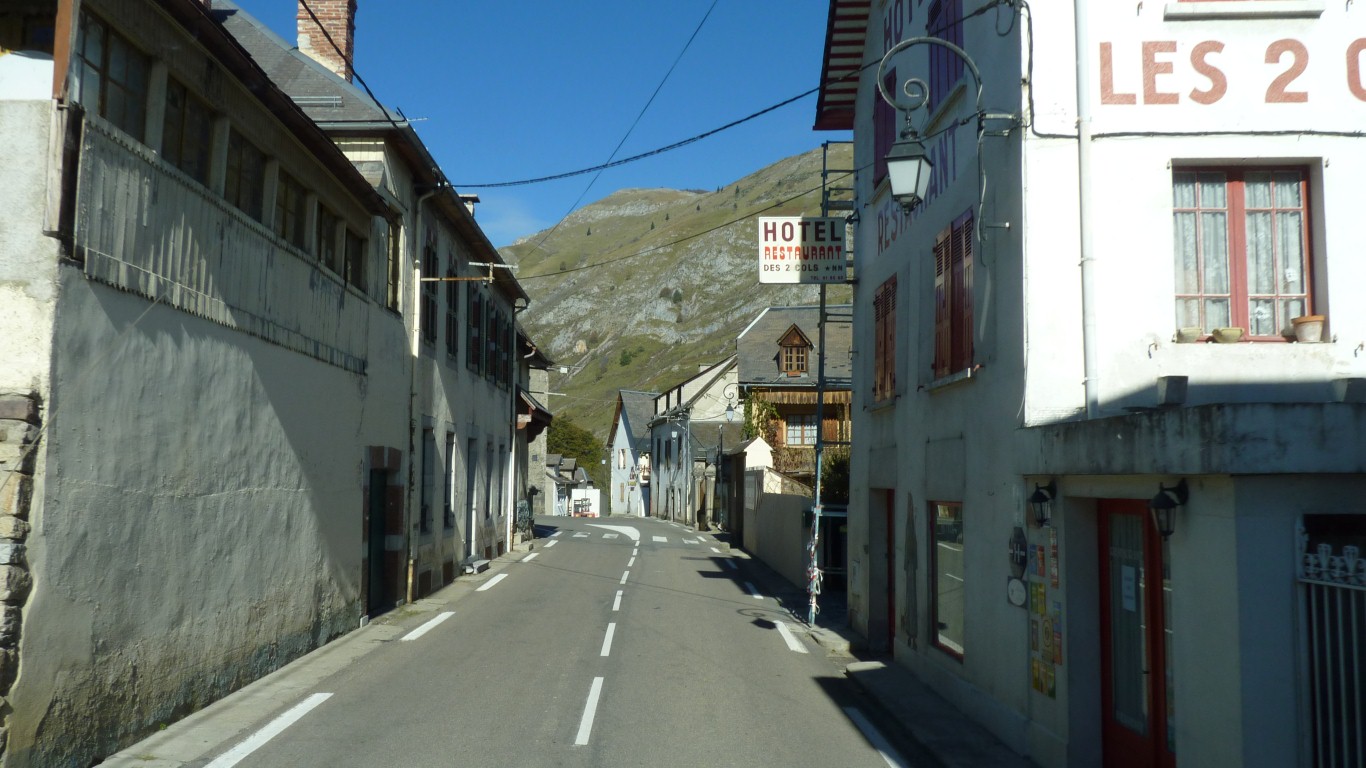
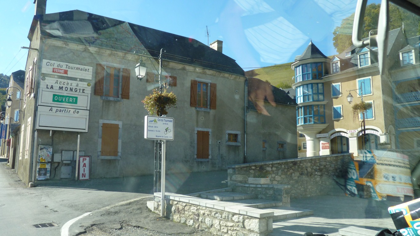
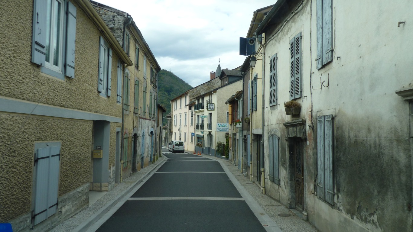
Too busy navigating the narrow streets and taking photos to see the "Ferme" sign.
At 2115m its a bit higher than Col de Aspin.
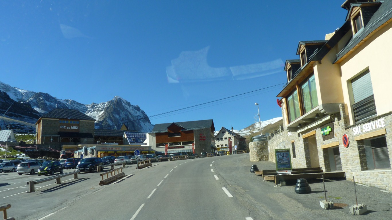
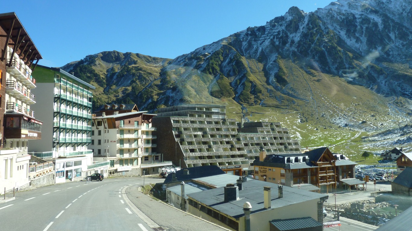
A strange and unattractive place for us. The ski season hasn't yet started.
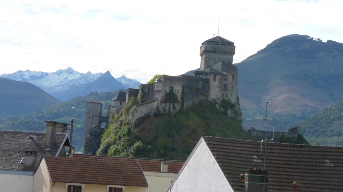
The base of the cable car up Pic du Midi.
We've had a bit of tv reception and the weather forecast doesn't look good. The rest of France has been bad for a few days.
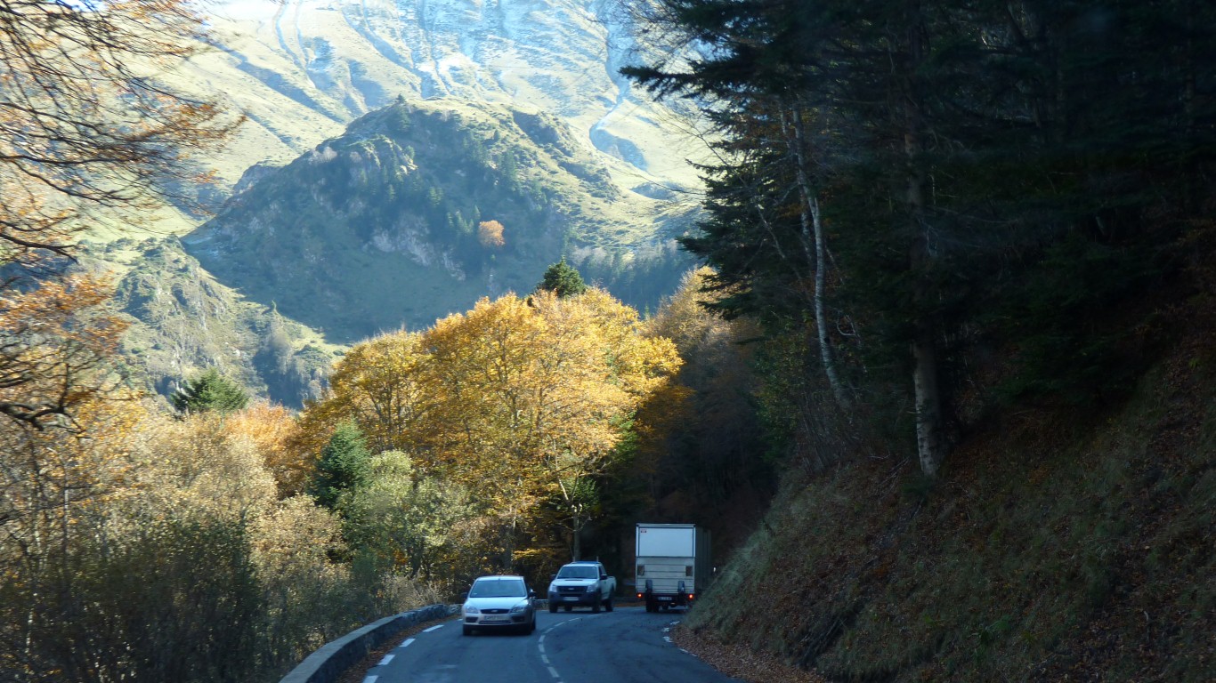
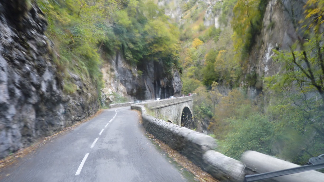
We were in third gear with the help of the exhaust retarder.
Brake lights on the truck in front were on almost all the time.
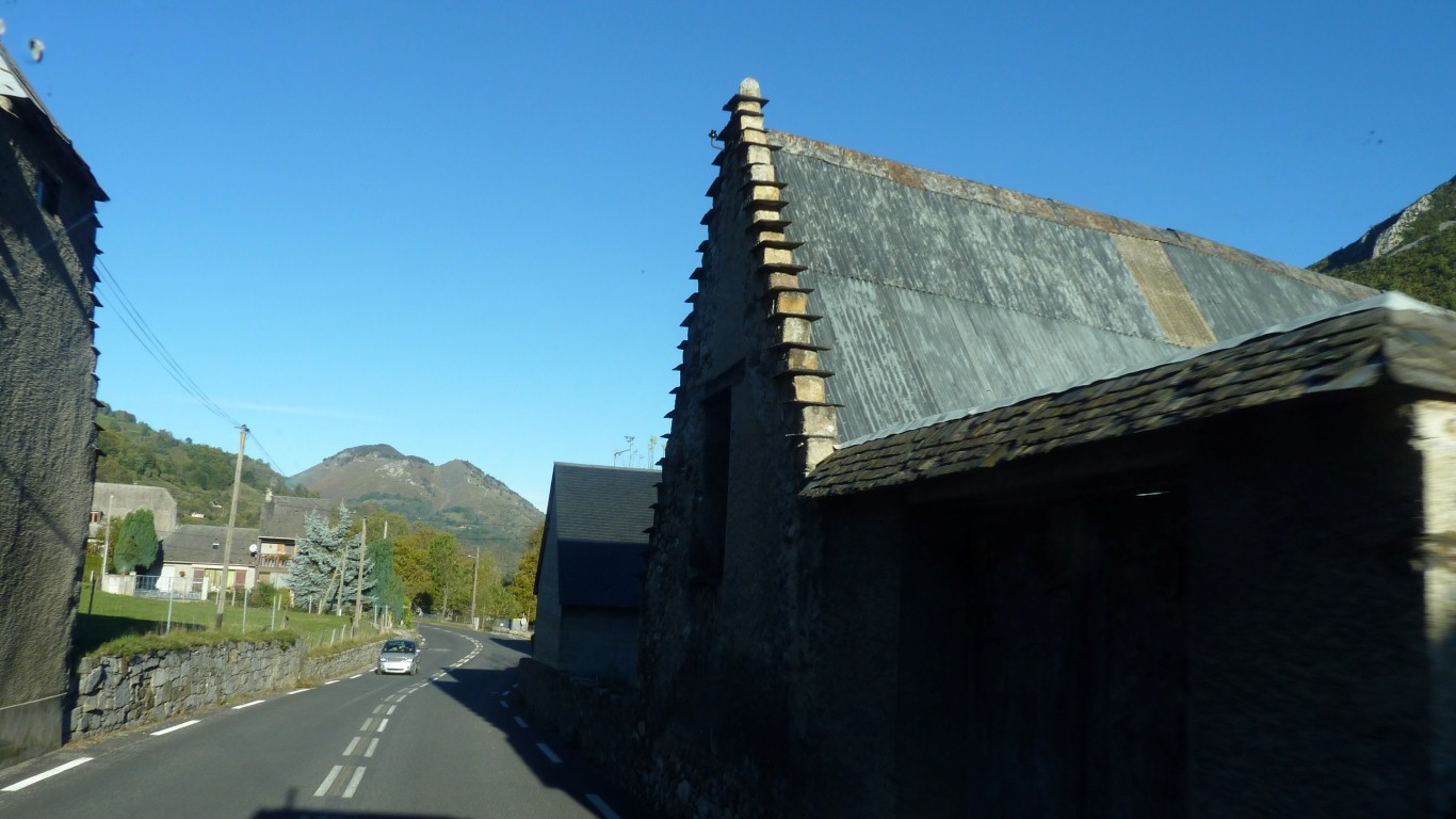
Steps on the gable ends seems to be the most distinctive feature, but there's more to it than that.
A drive up the hill towards Col du Tentes which was closed.
We went for a walk. Wondered about the weather arriving from Spain, just over the hill. But still clear to the north.
Gavarnie is out of sight, just below us.
Having seen it we retreated to the warmth of Tardis.
In St Eyzies the barometer was as high as 1020 mbar. As we cook tea its 898 mbar and falling. 841 mbar the next morning, but rising. A few high clouds. Strange how I'm missing the internet, I could look up the effect of altitude on air pressure. We are camped at 1480 m in the Aires at Gavarnie.
I guess that in the days before the internet we wouldn't have carried a digital (or any) barometer so wouldn't have known!
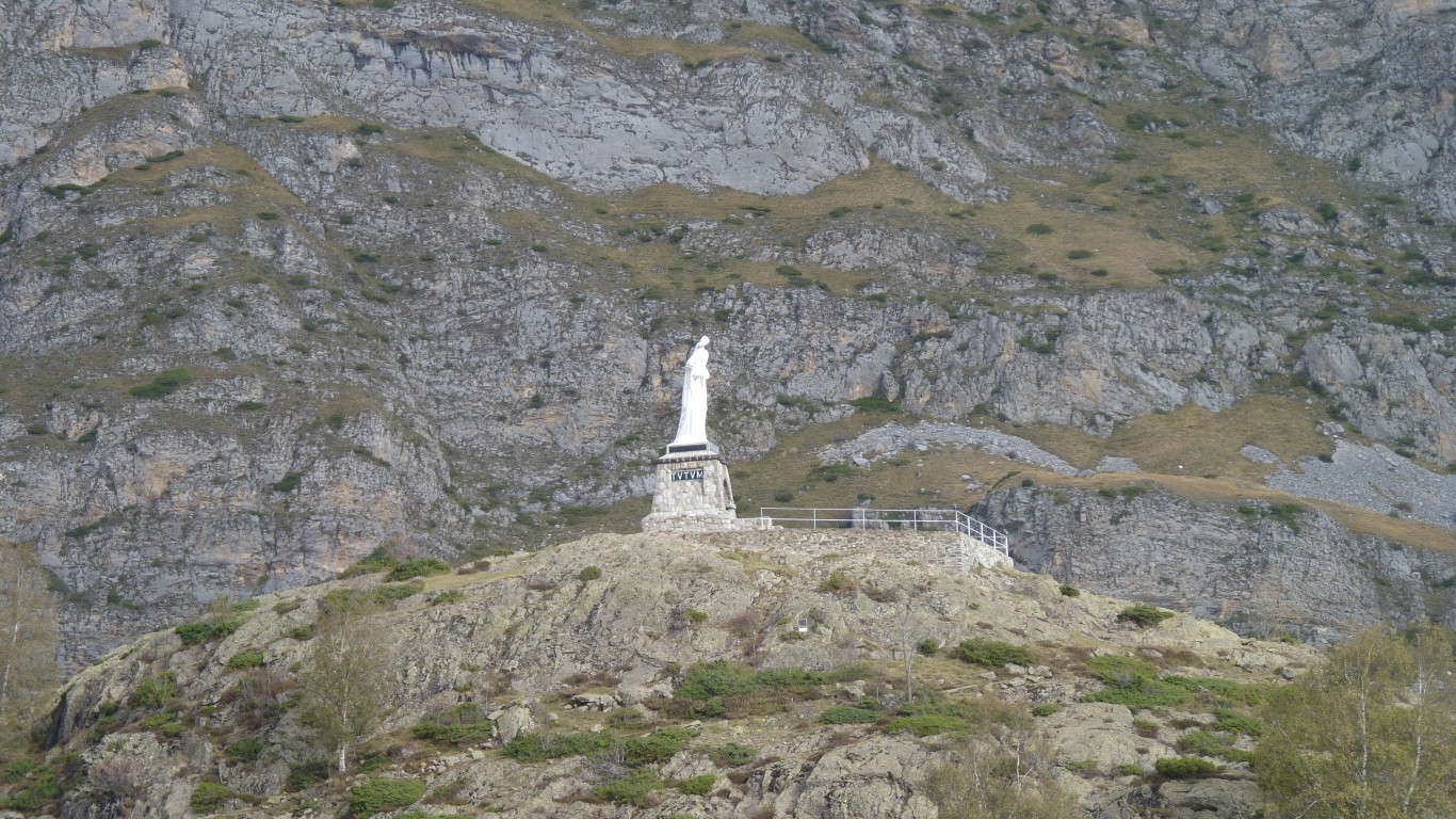
Madonna and child.
We are 911 km from Santiago de Compostella. As the person walks.
Possibly on part of the Camino de Santiago. A long distance Christian pilgrimage track.
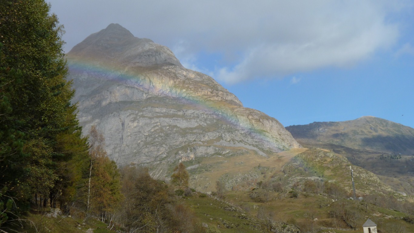
Surprisingly the weather stayed nice enough. Blue skies, clouds, a hint of snow, occasional cold wind, and a very large rainbow.
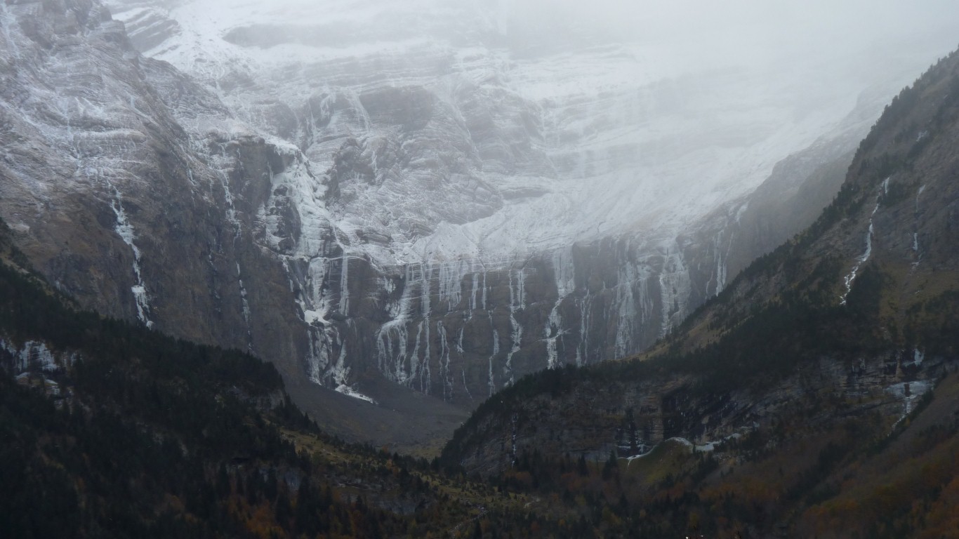
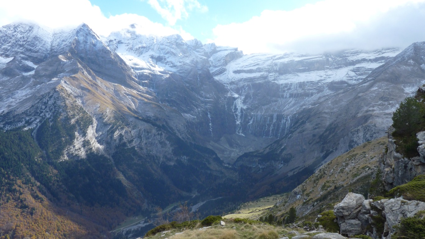
Same glacial action that formed the coires on the Isle Of Skye and the cwms of Snowdon.
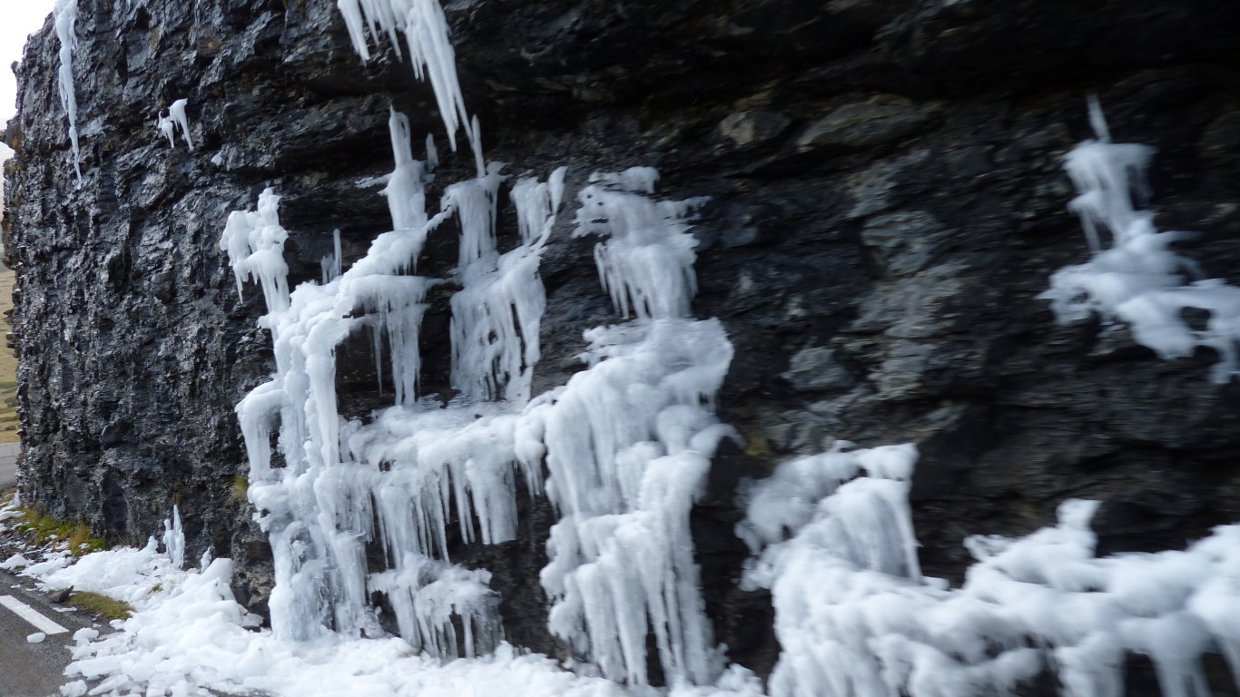
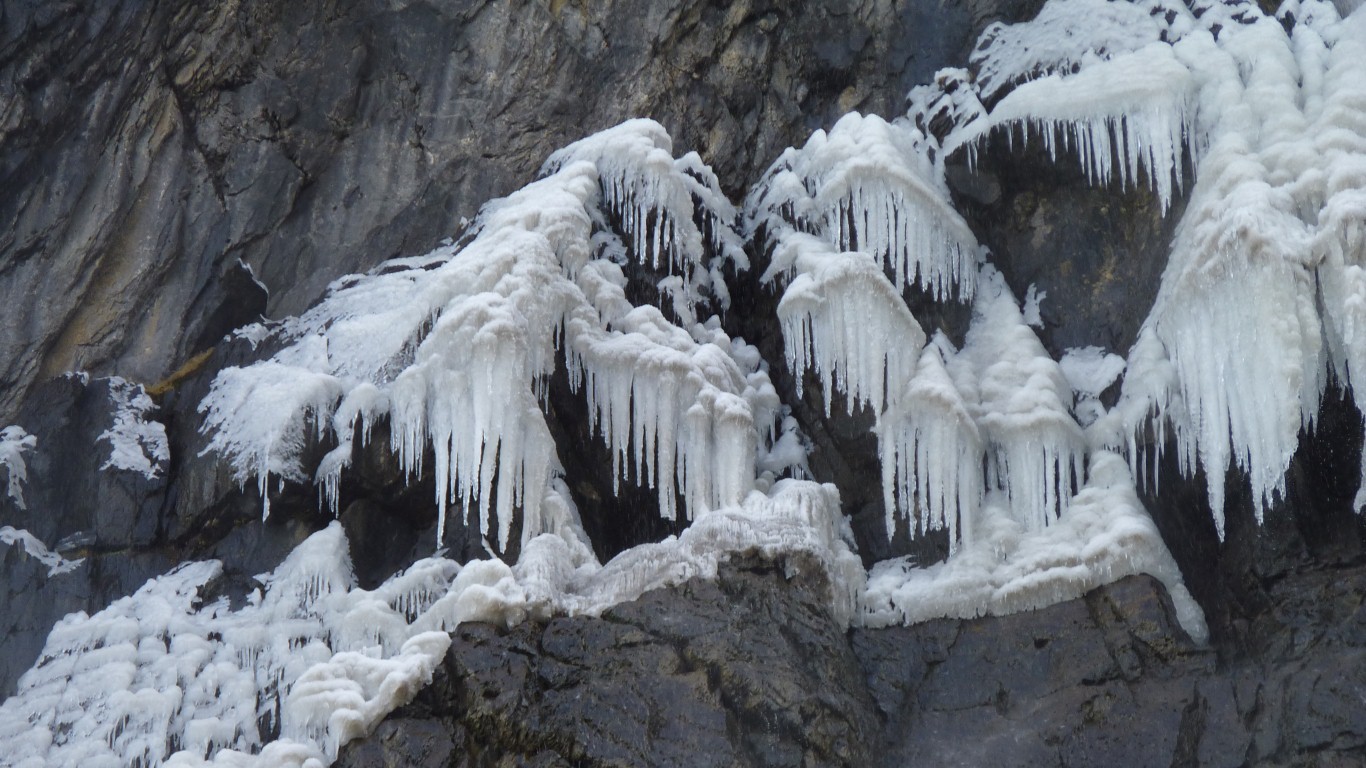
Being French the height of La Grande Cascade (the frozen waterfall bit on the left) is measured as three Eiffel Towers.
There's a narrow river gorge, we're guessing there was once a lake behind the barrier.
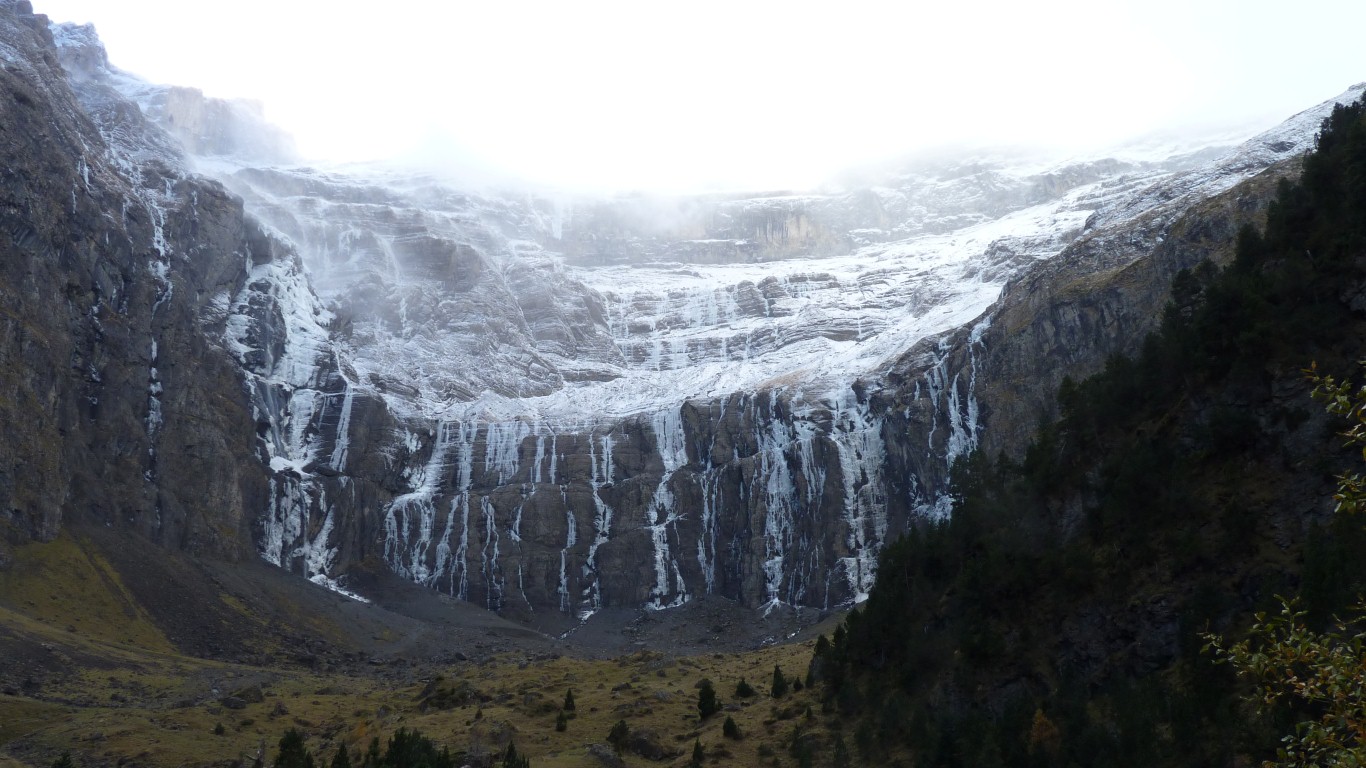
Three stages of sedimentary rocks. Contorted and twisted.
Its facing north, and well north of the Tropic of Cancer, so doesn't see much sun at this (or any other?) time of the year.
Even though its World Heritage listed its accessible and our camping is free - its the off season!
No lake now. Just lots of broken rock.
And the occasional noise as ice breaks off and cascades down.
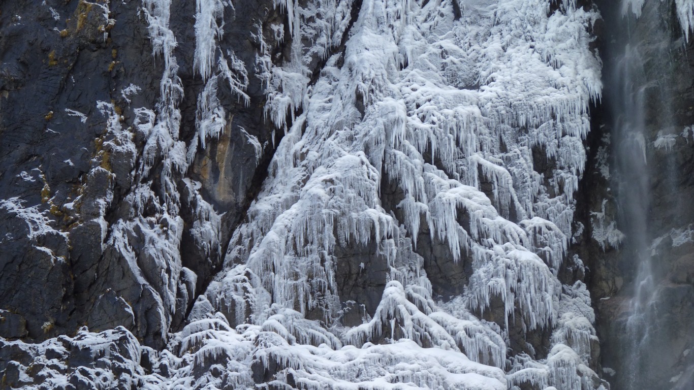
Must be the same process of water flowing - depositing a new layer of ice crystals rather than mineral crystals.
Bother. We forgot to buy a Christmas cake and pudding before leaving England.
Haven't seen anything like in the French supermarkets yet. Maybe if we put them on the shopping list.
Gavarnie is behind us.
This photo was taken by an Englishman living locally. Of course the locals don't use the passes to get to Spain so we are none the wiser as to whether there are any open further west, or if we'll have to use a tunnel. Also told us that the weather forecast suggests today is the last good day.
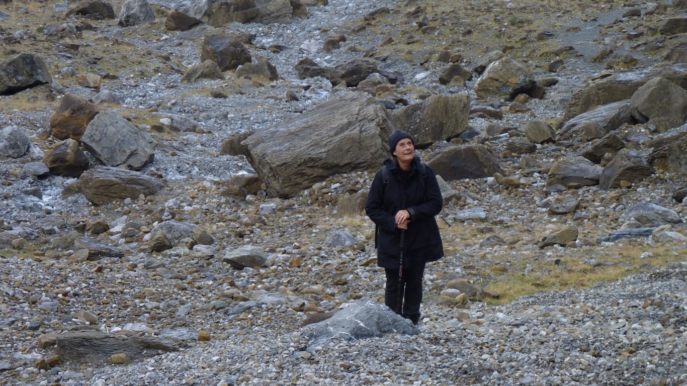
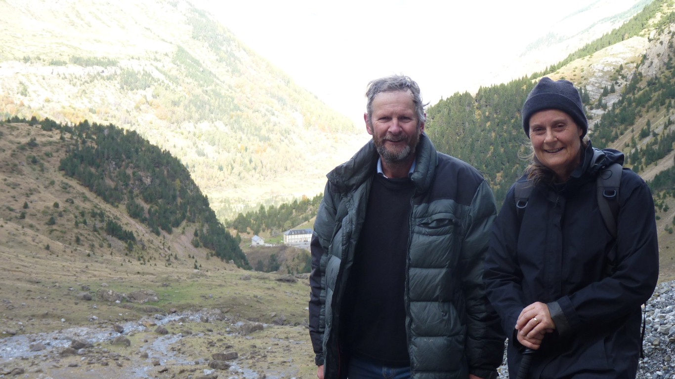
This is what we look like about half way through our trip.
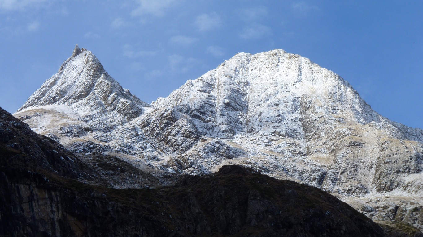
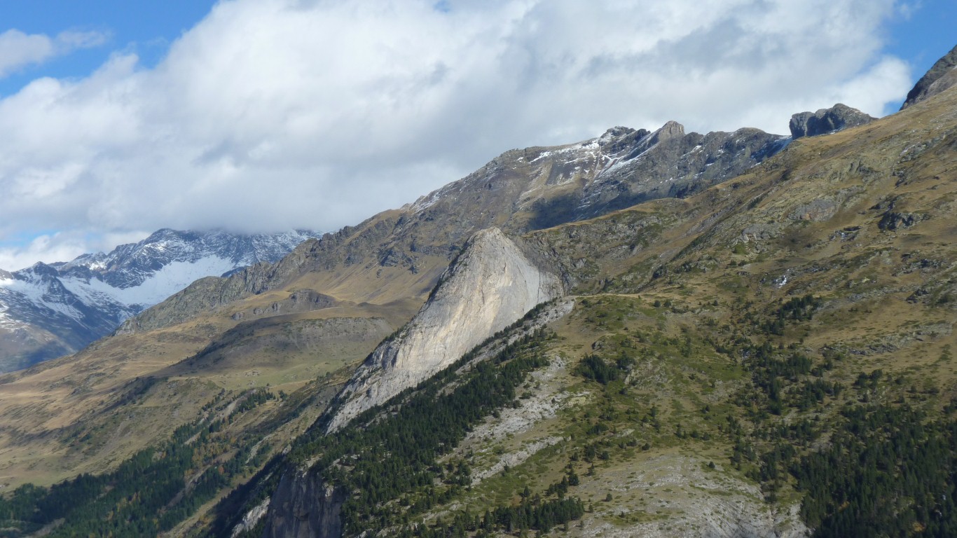
A contorted land.
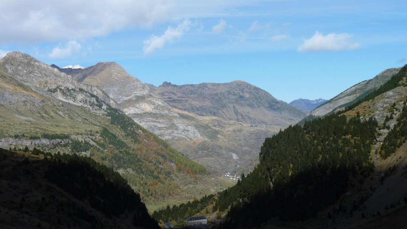
The hotel (centre bottom of phot) is at the top of the river gorge, the entrance to the cirque.
Closed for the off season.
Yesterday's view of the cirque was from somewhere above the trees on that ridge to the left.
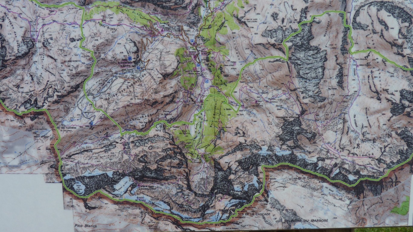
Gavarnie is directly north where the valleys join at the top of the map (Y-shape).
Still camped at Gavarnie the barometer is 844 mbar and rising as we cook tea.
We'll take tomorrow as it comes.
Advice from a friendly French couple was that passes to Spain are generally closed this time of year.
But they did give us a bottle of their local wine!
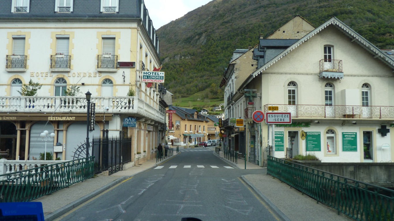
Northwards, back the way we came, through Esqioeze-Sere.
We've really not understood the idea of pilgrimages.
Not sure how we'd describe our trip, apart from simply seeing the world, because its there. And perhaps its nice to not have a purpose.
The green sign says "ouvert".
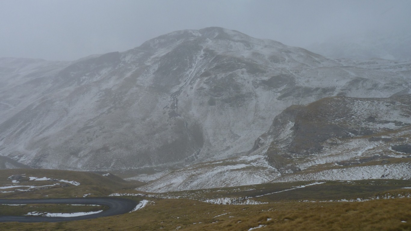
Next morning the view disappeared rapidly as cloud filled the valley.