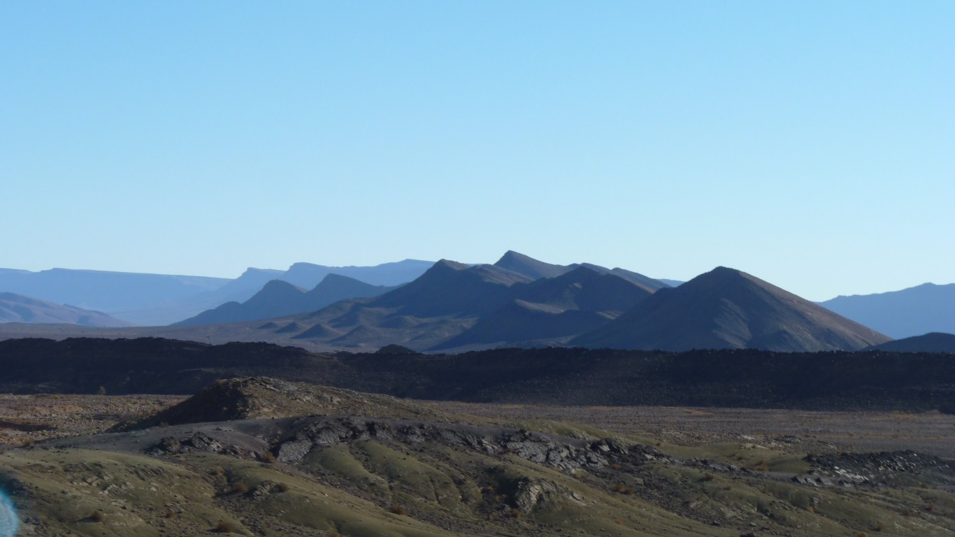
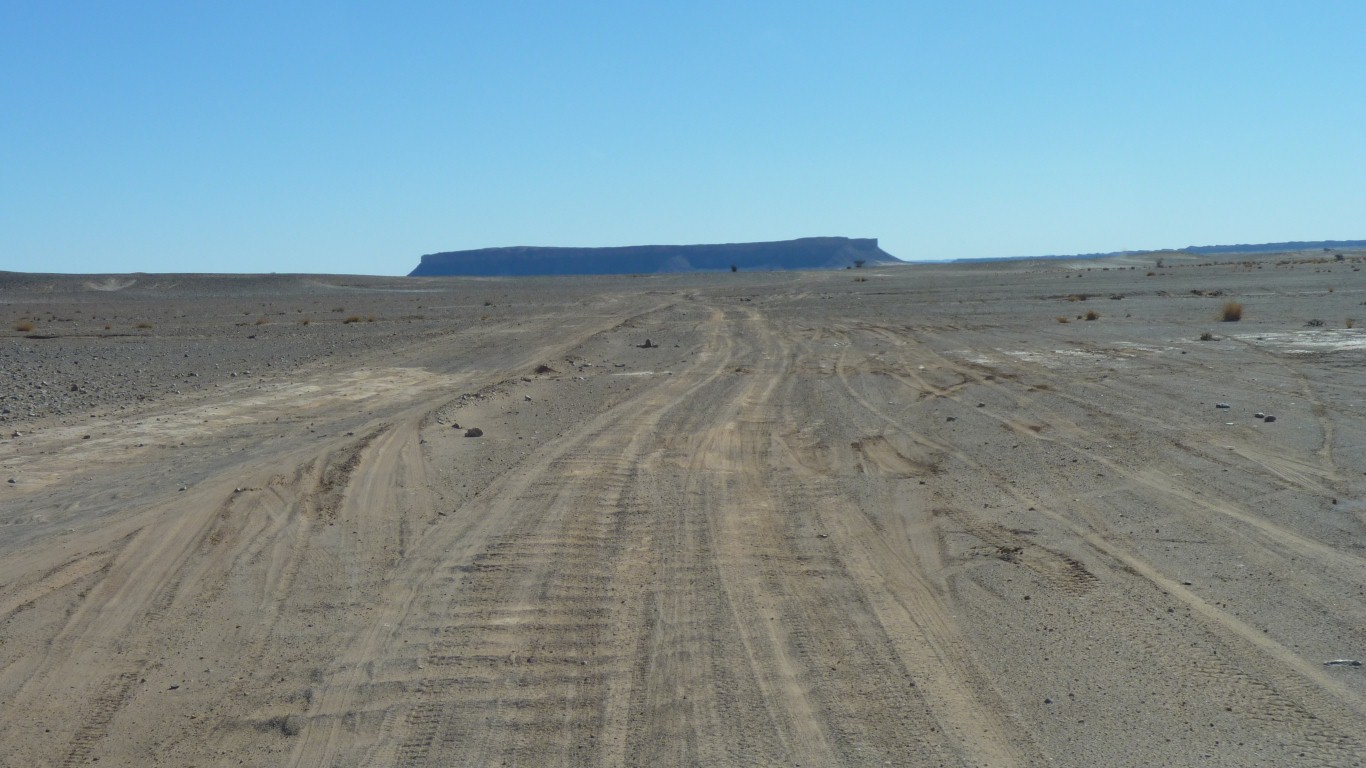
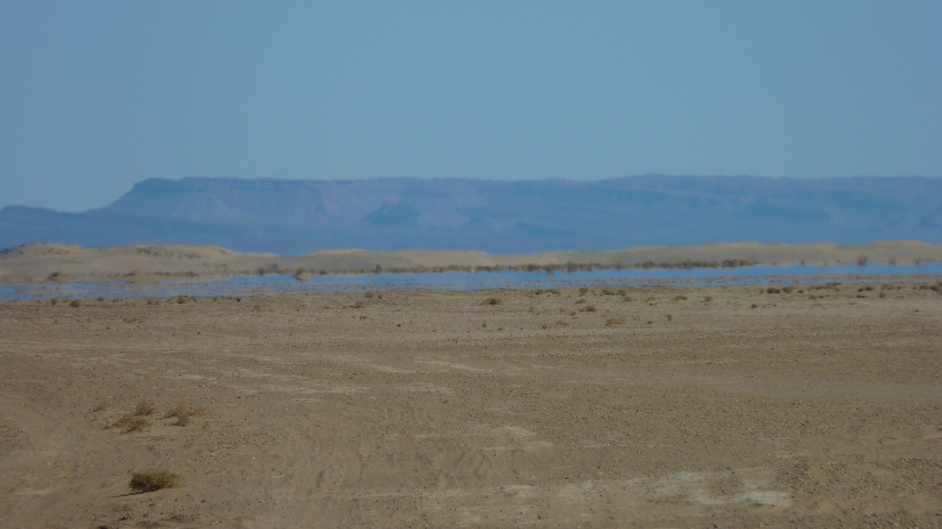
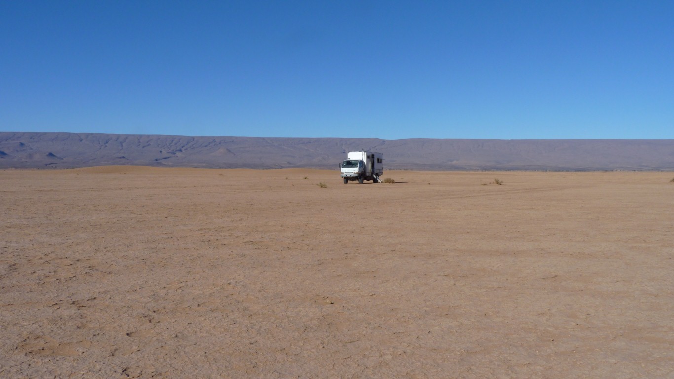
To our right is the escarpment.
To our left is gently rising hills.
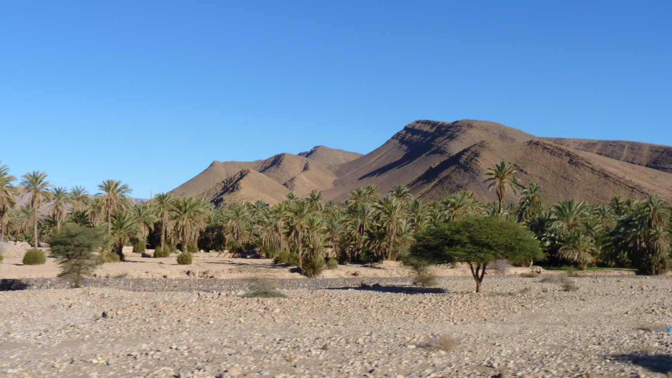
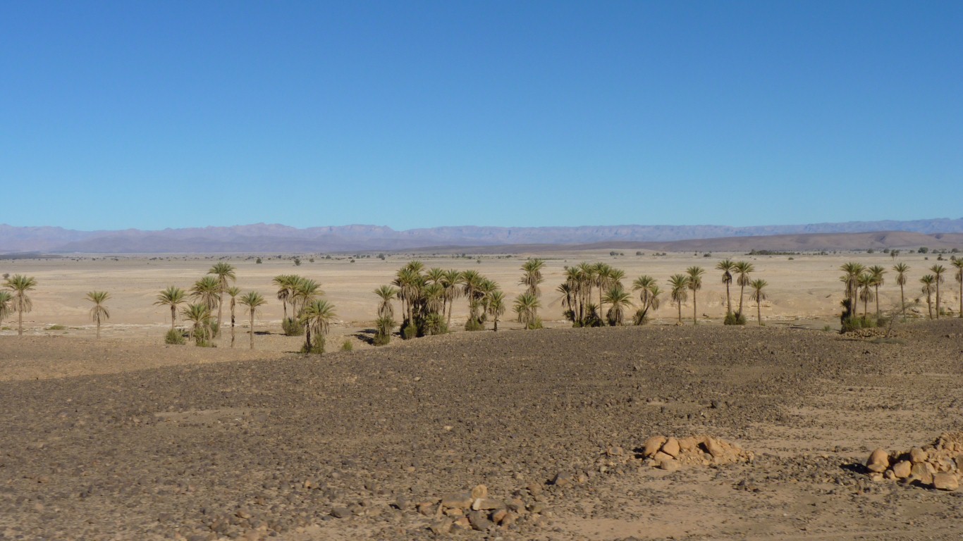
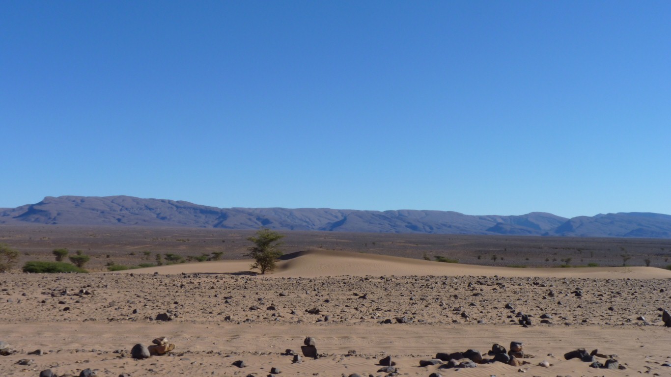
And in the middle is enough water for palms.
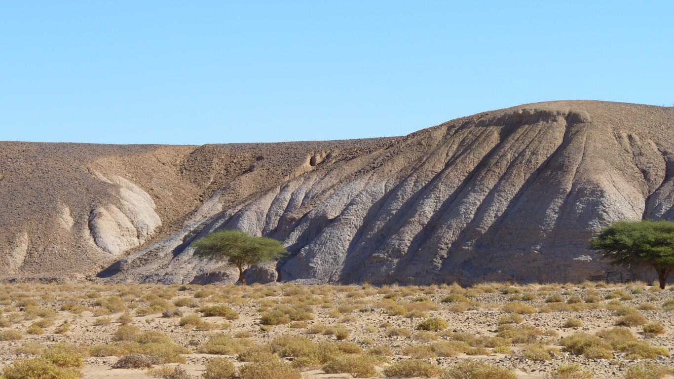
Not dunes. Heavily eroded soft rock.
When he didn't wave us on we stopped.
Then had a conversation which began with him asking us why we had stopped!
All very friendly though.
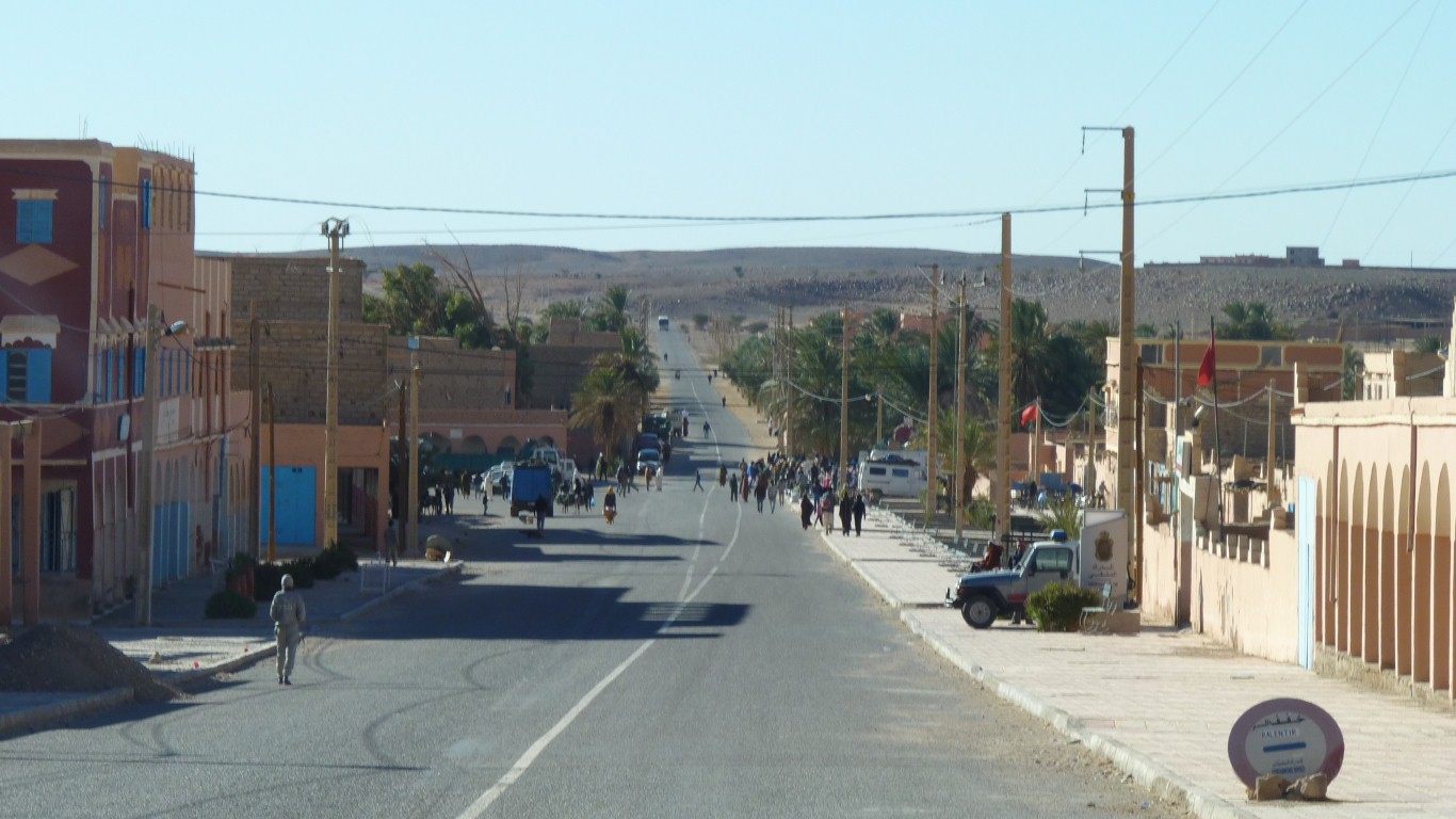
Its near the Algerian border and has a strong, though relatively unobtrusive, military presence.
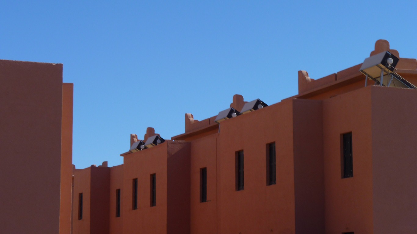
That the water tanks are rectangular (the only country we have seen that.
Even the storage tanks for solar water heating are rectangular.
And of course the roofs are flat.
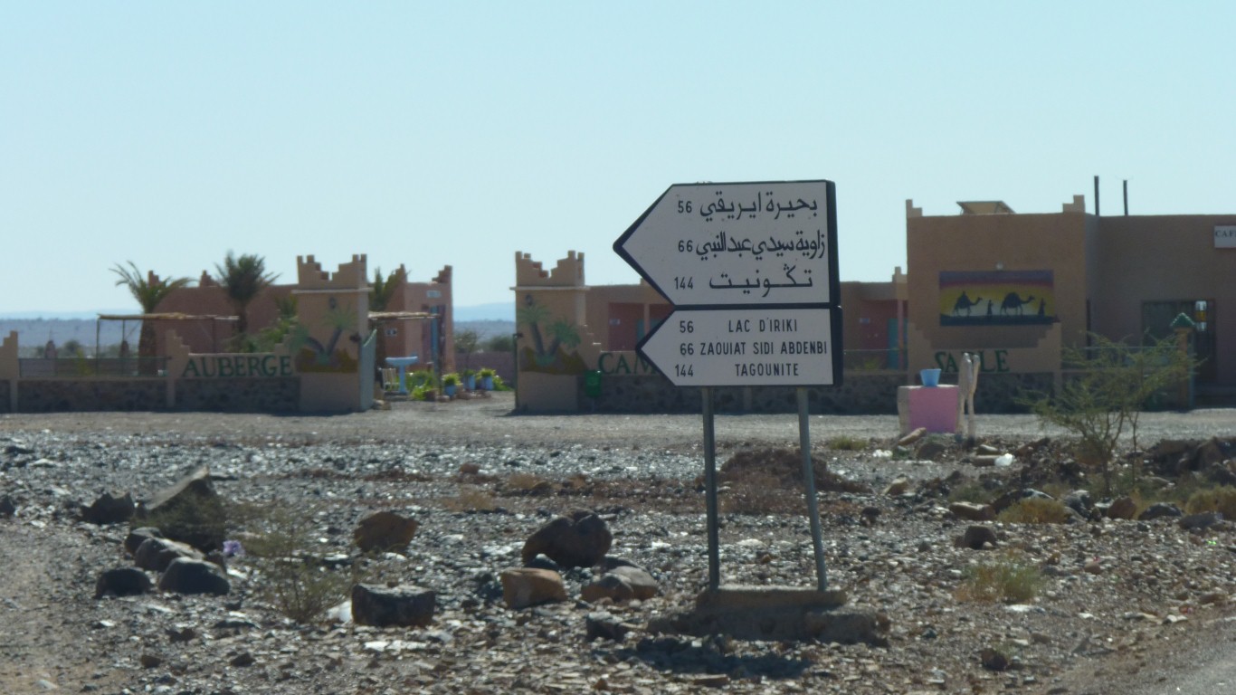
The signpost points at where we want to go. Reputedly a bit of a rough track.
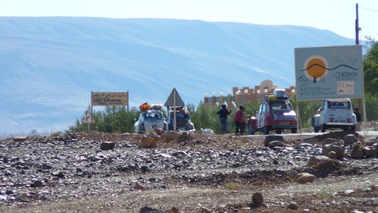
A convoy of French Citroens (2CVs).
The following truck driver was less accommodating of the boys and gave them a blast.
Seems to be a habit to stop the traffic and ask for manger, cadeaux or bon-bons
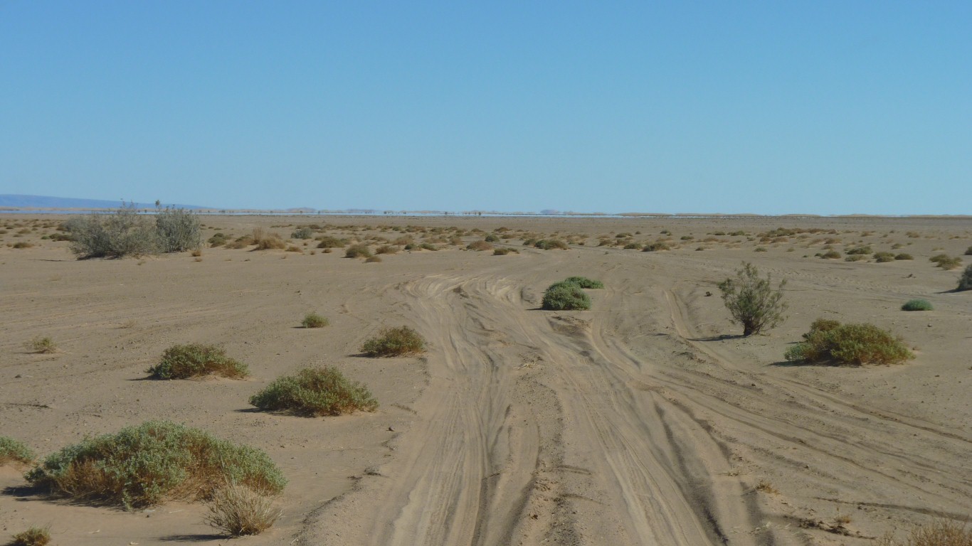
The "smoother", more southerly track across the dry Lac Iriki.
One of those fortunate miscommunications we are prone to!
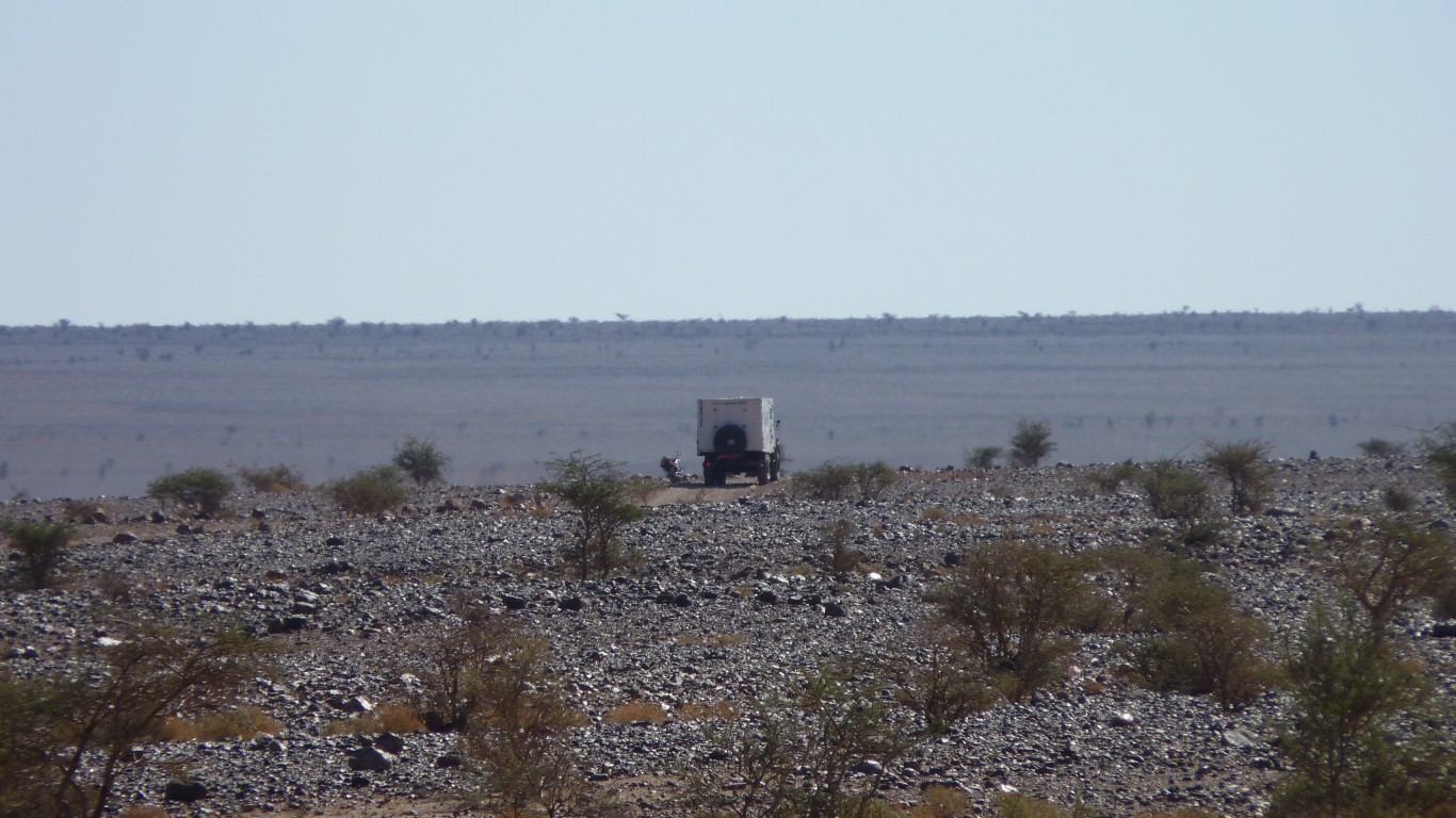
Lots of traffic. At least 4 vehicles going the other way. And a couple that overtook us.
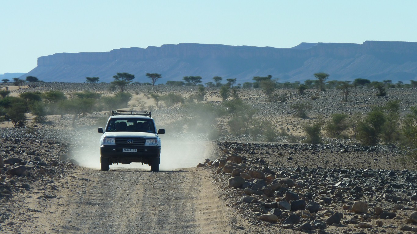
Stony and corrugated. Third gear, 20 km/hr and less.
We stopped for a chat and were told keep right, then after descending to the lake bed keep left.
Sounds easy.
Two very good electronic maps plus paper.
And the Moroccans are used to being asked the way.
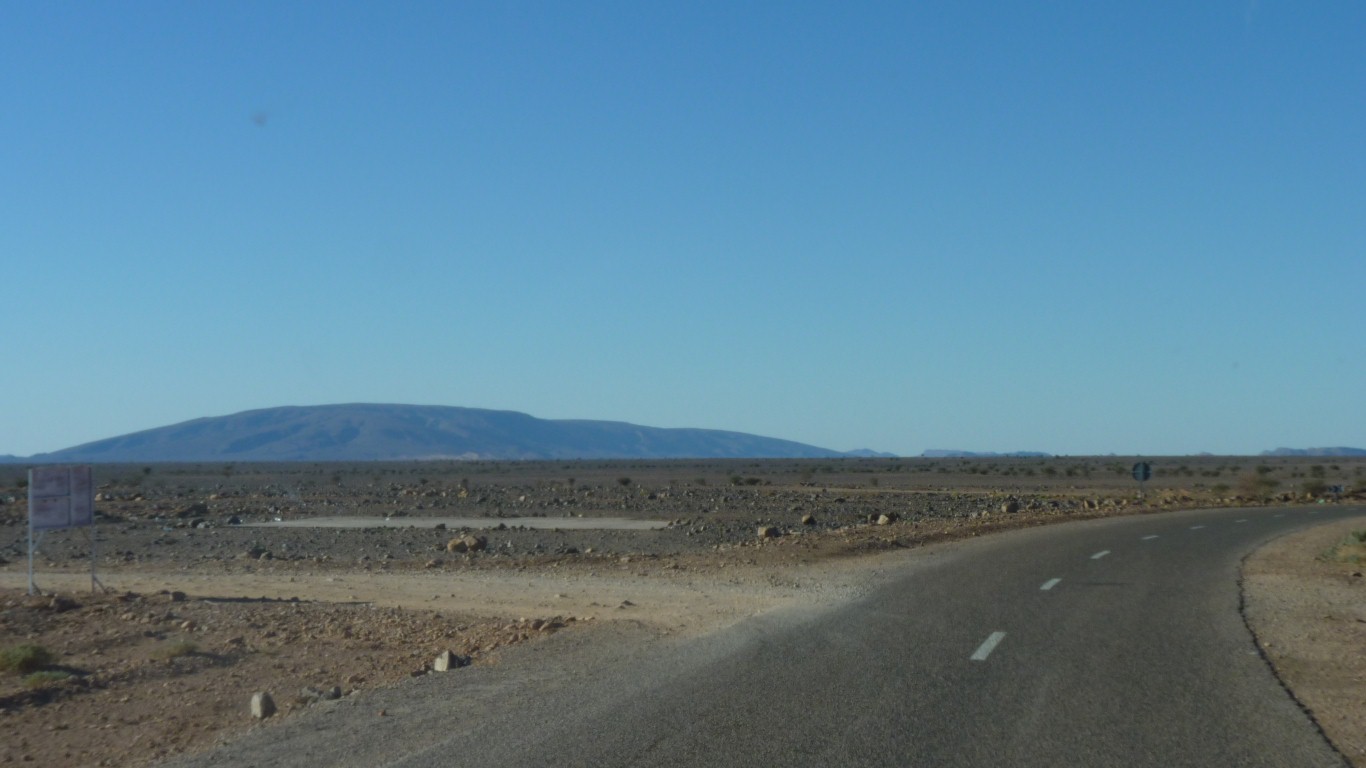
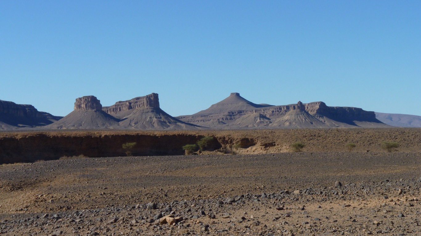
The sticky up bit in the middle is rectangular at the top (of course). The mountain I was asking about.
We made it into fourth gear.
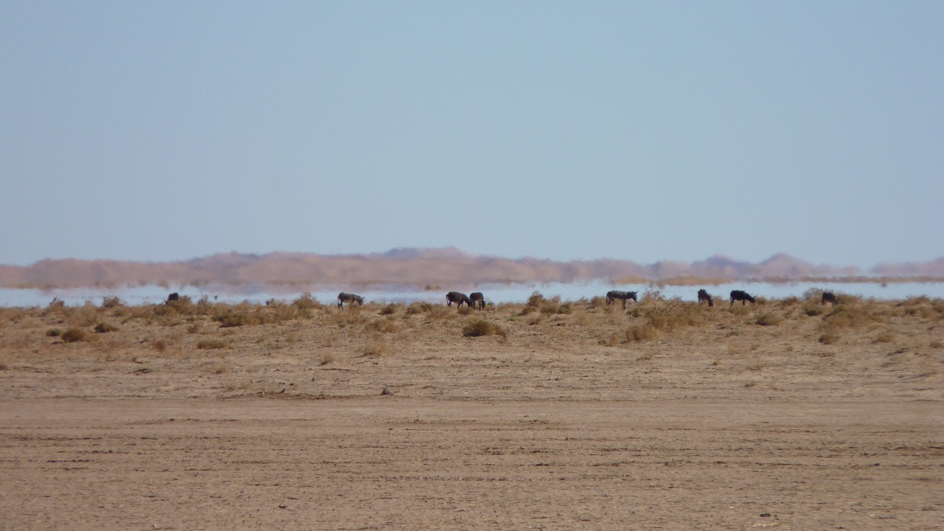
Not sure how the donkeys survive.
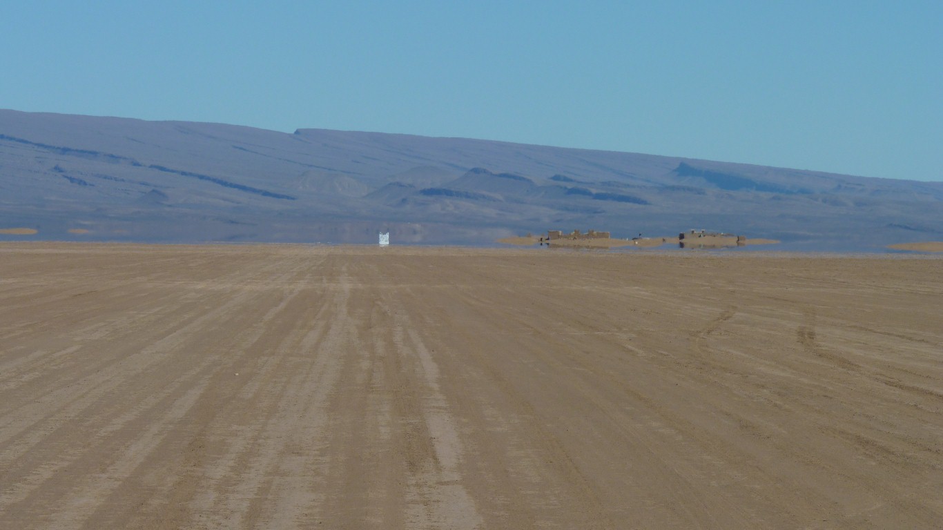
The white bit is a large sign for the hotel 500m later.
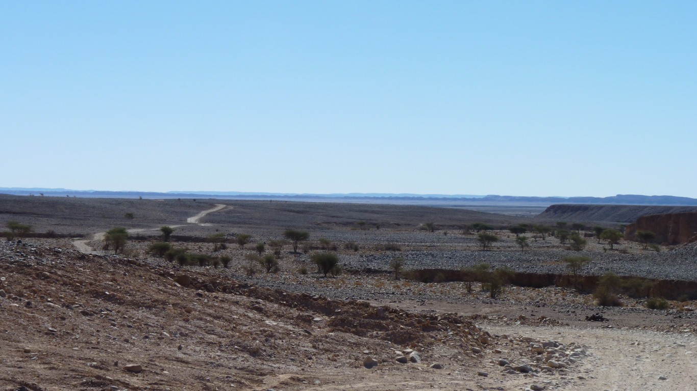
It looks like no two vehicles have followed the same track. A sort of 100 lane highway.
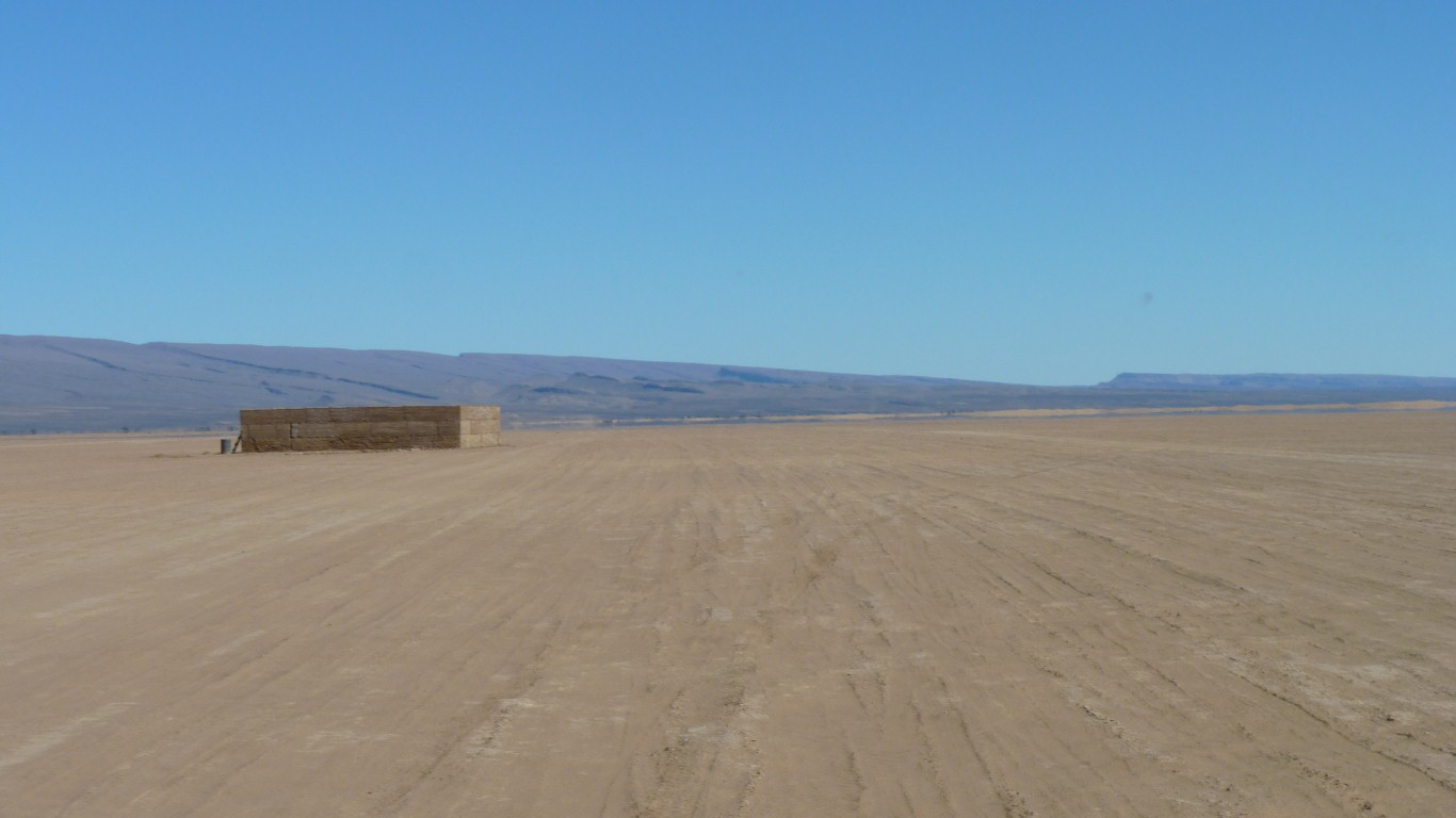
Though there was a hole beside it on this side and a pile of new mud bricks on the other side.
Maybe a brick works!
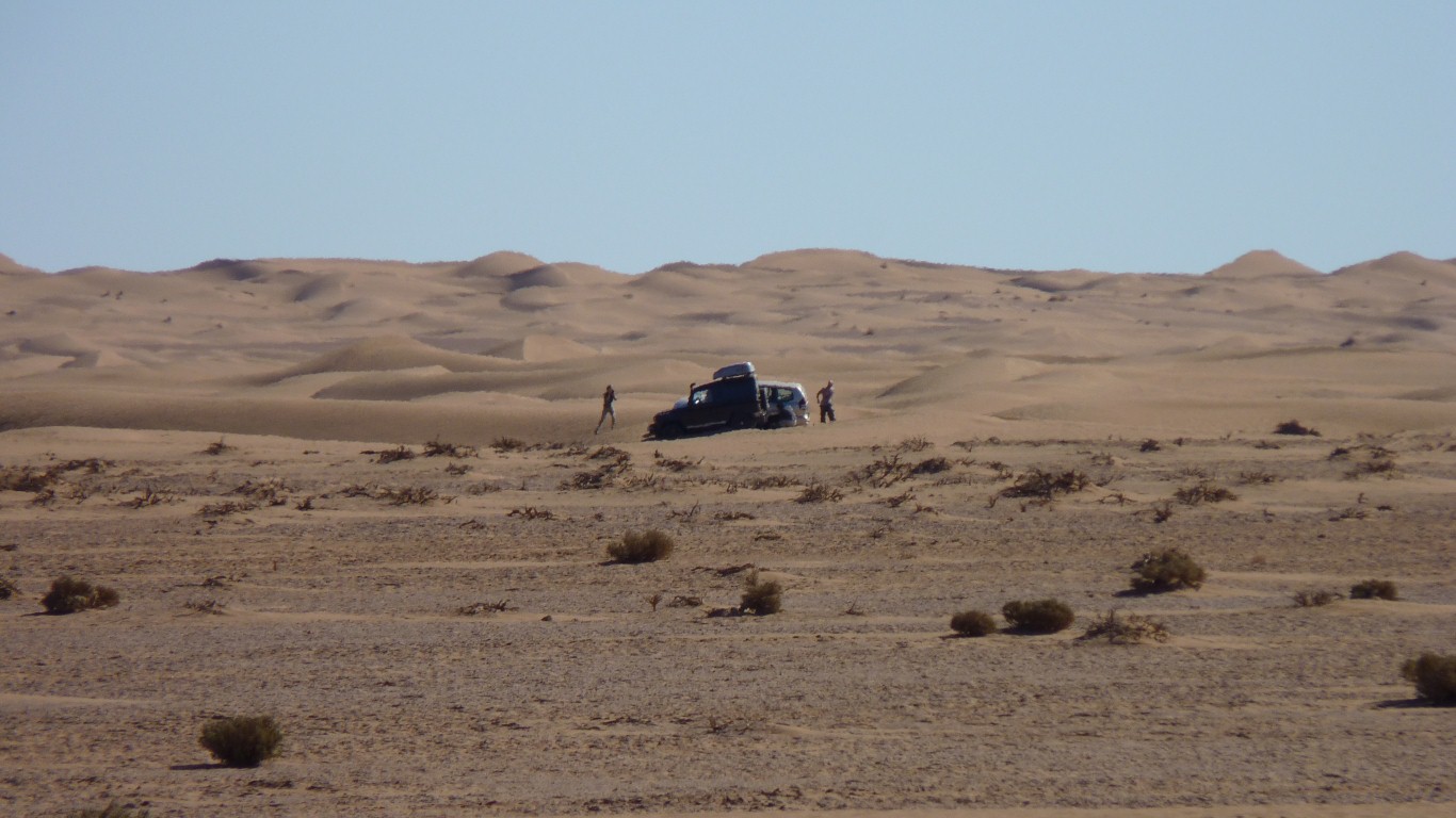
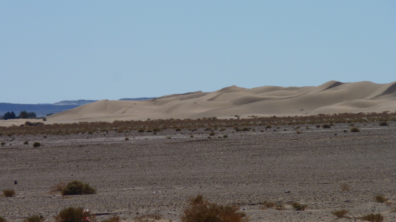
Off for a play in the sand.
I heard the landrover as it dug itself in deeper. After an hour they'd taken the photographs, dug it out, and were on their way.
Believe it or not, we drove around a sand dune to hide!!!!
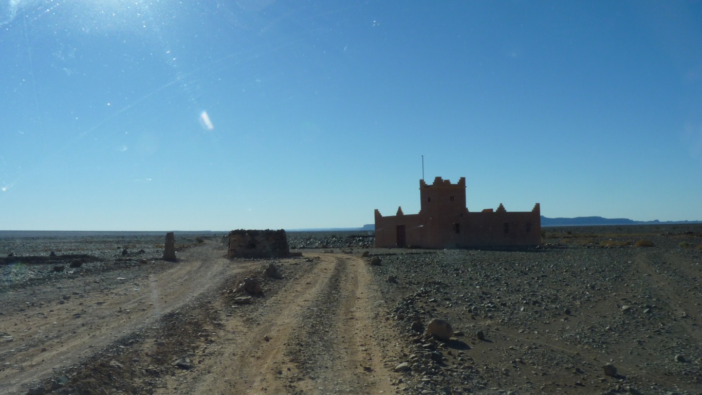
A visit from the Imam at Zaouia Sidi Abd En Nebi. About 8km away.
Its very difficult to be alone in this world.