Places to go, things to see!
Every size from 4,000 to 300,000.
What do all those people do?
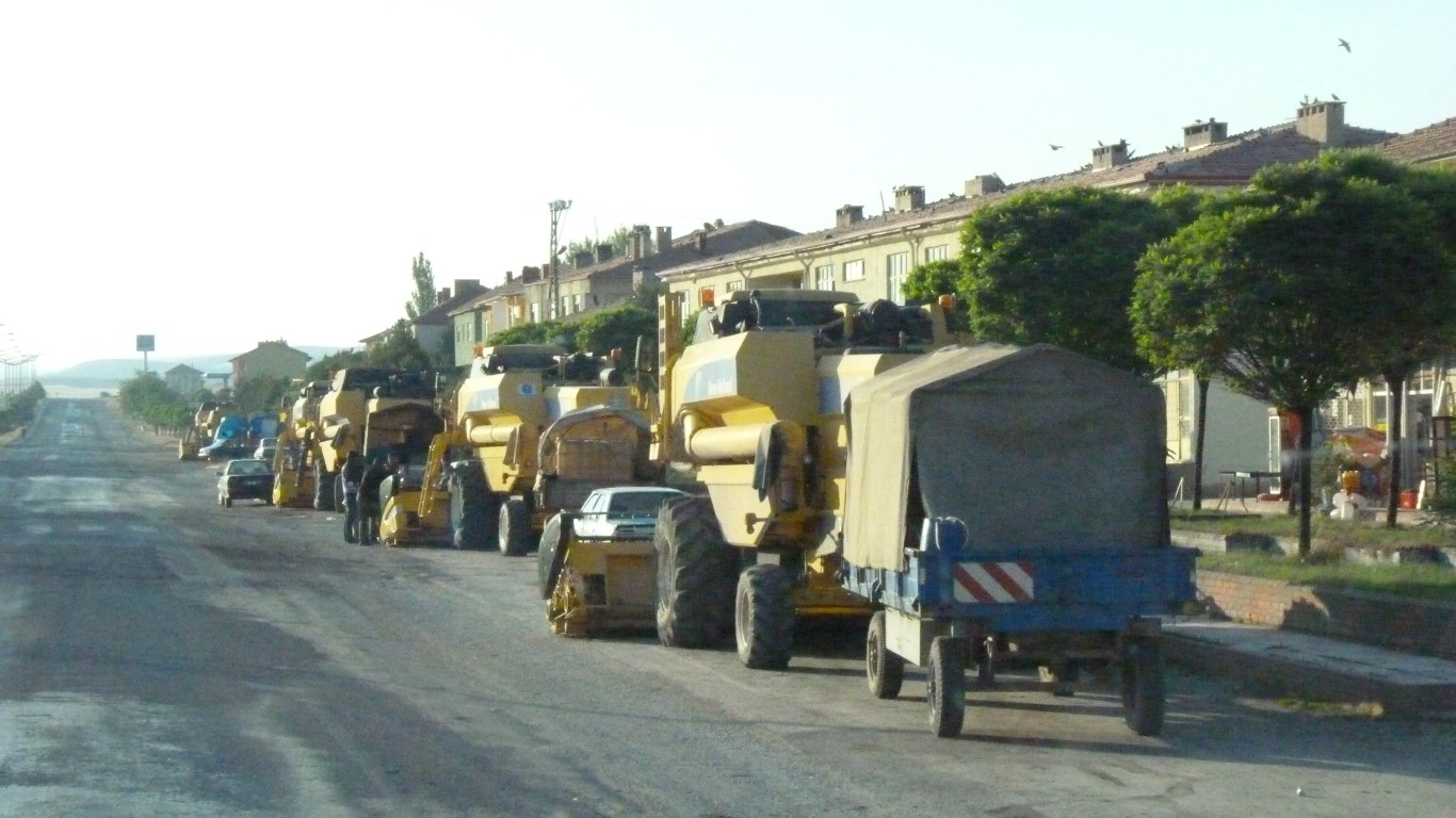
New Holland seems to be the harvester of choice.
There's a railway line.
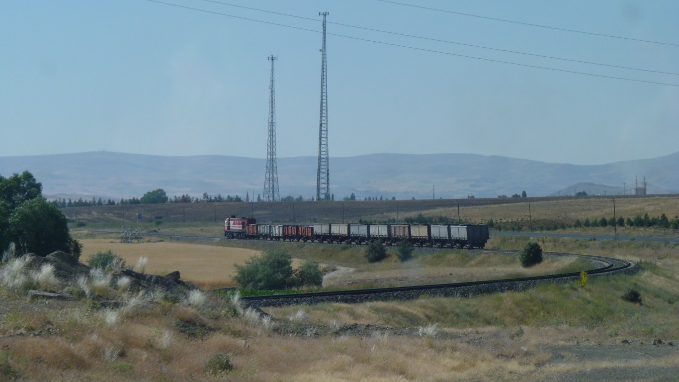
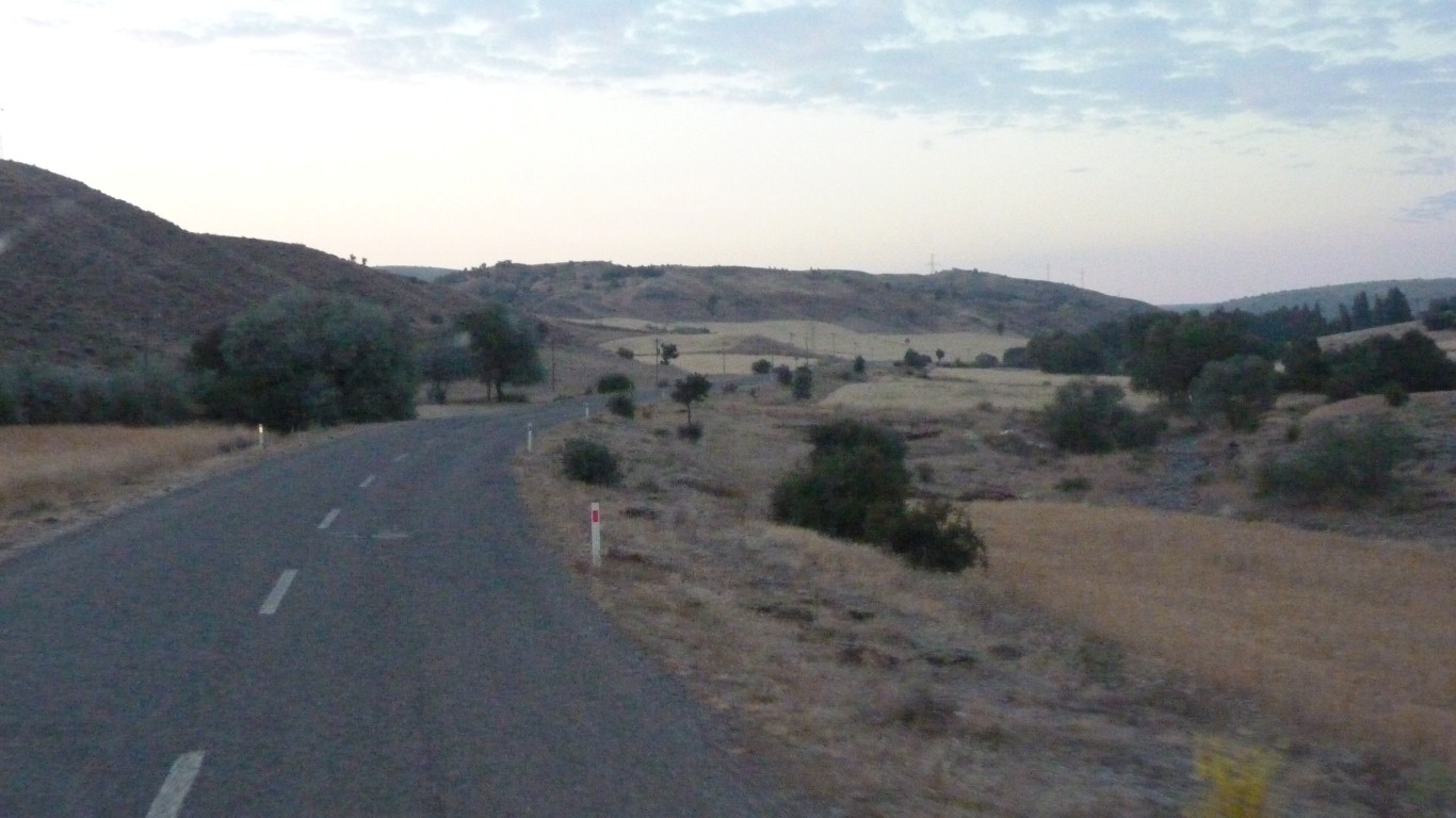
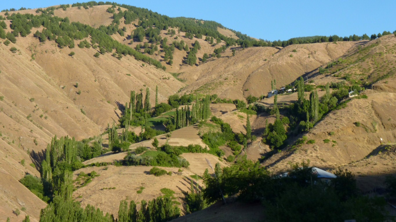
Still growing grain.
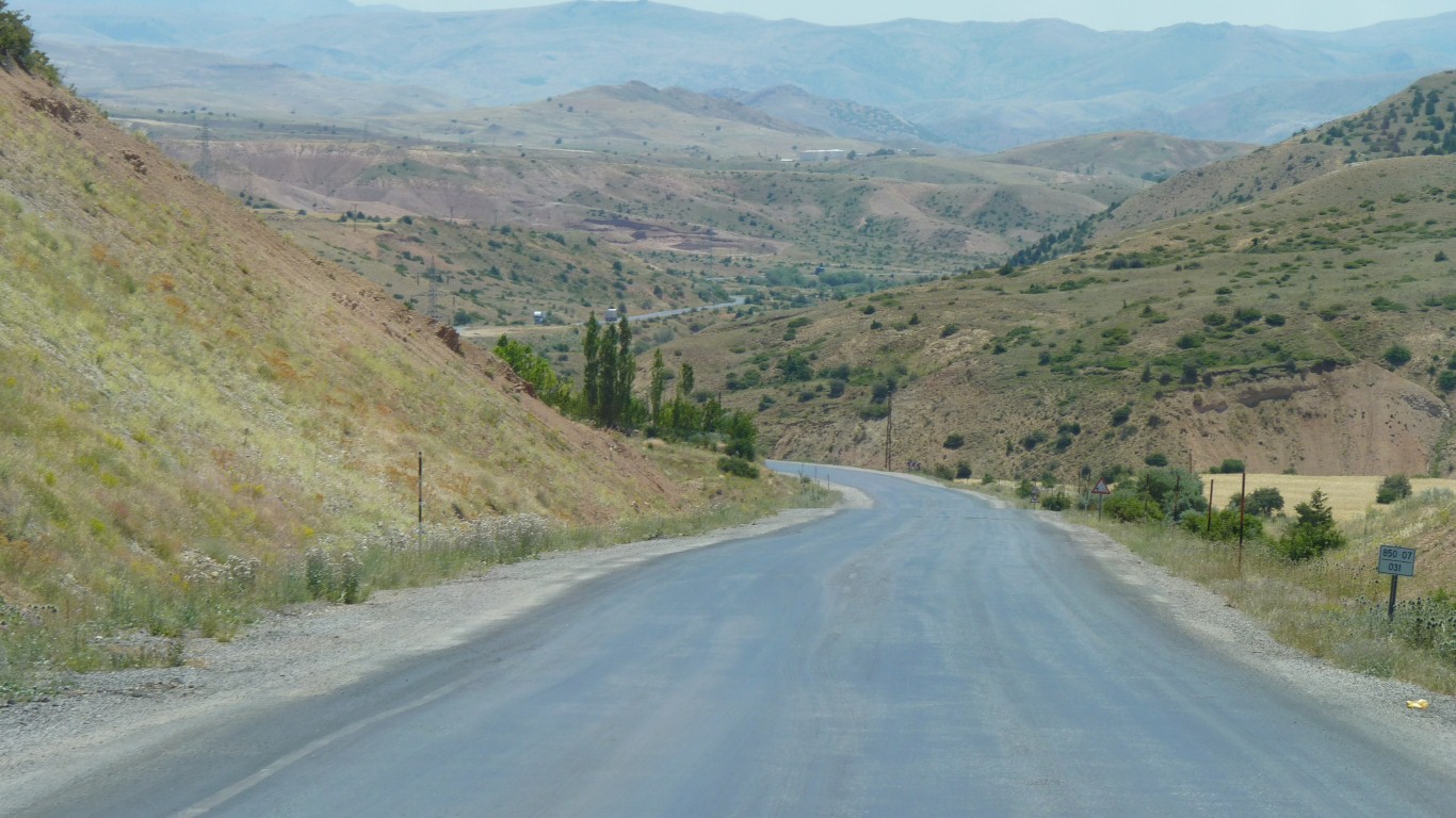
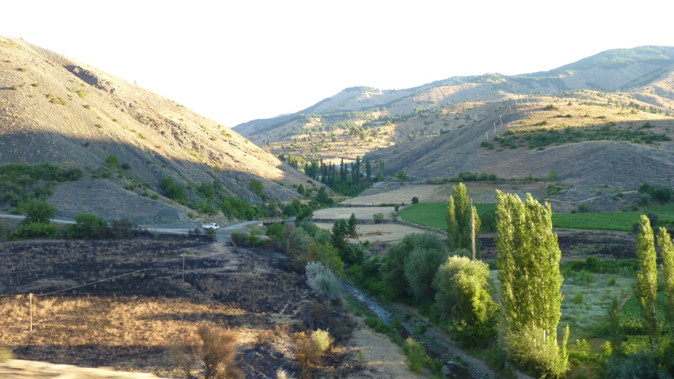
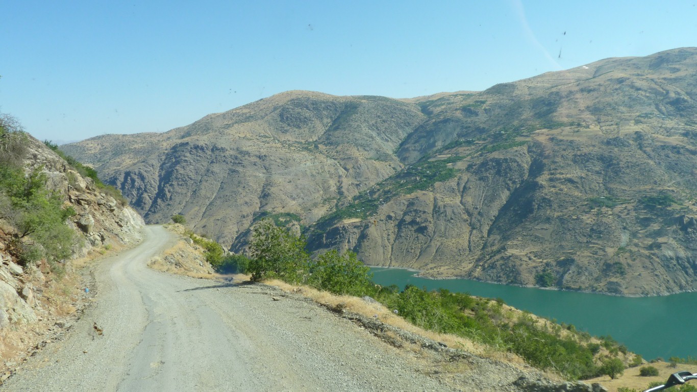
Then we went down.
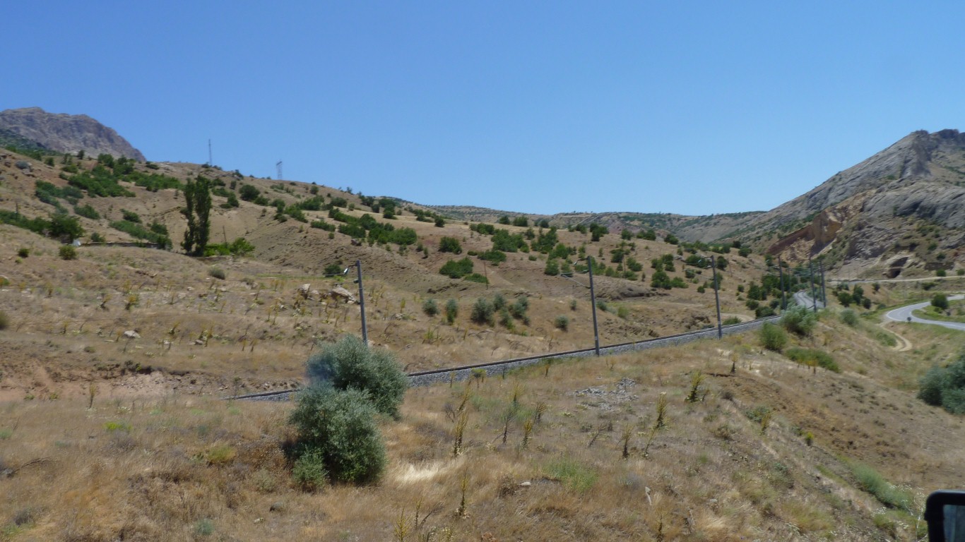
Somehow the line follows us.
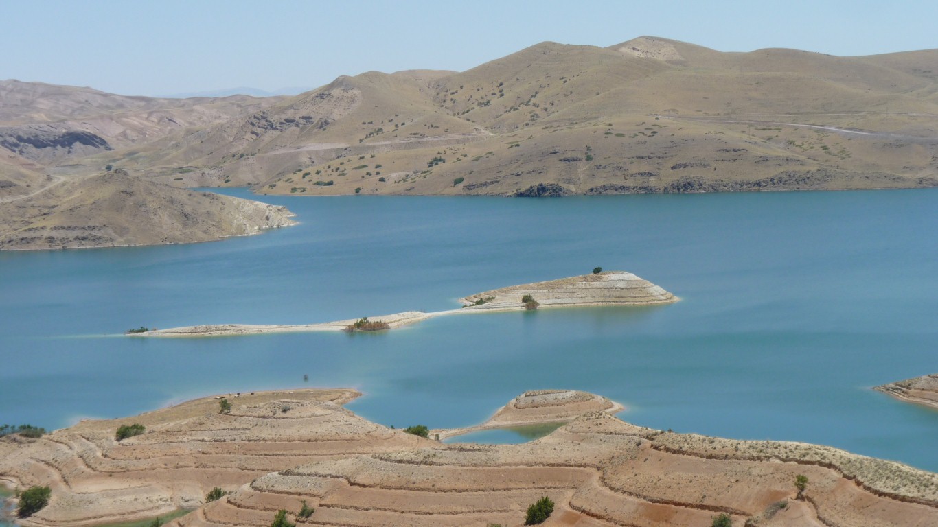
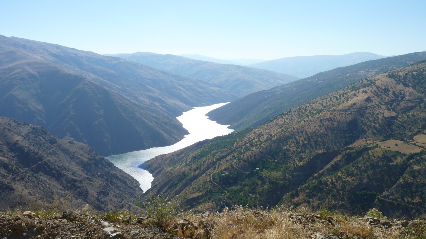
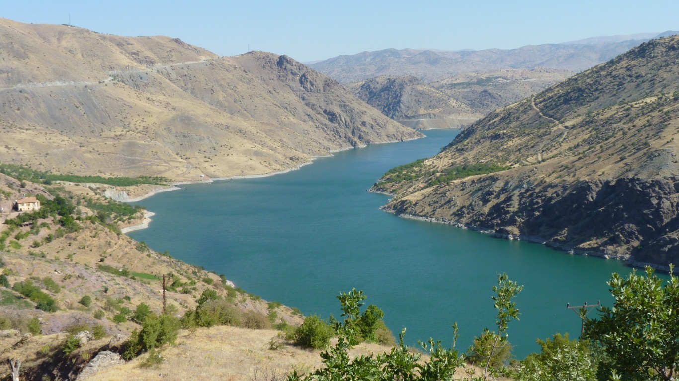
Karakya Baraji.
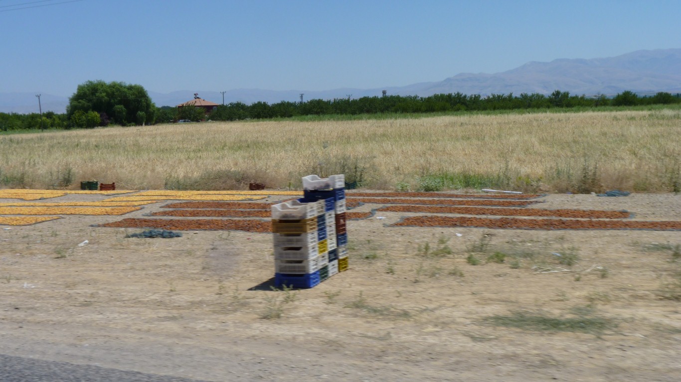
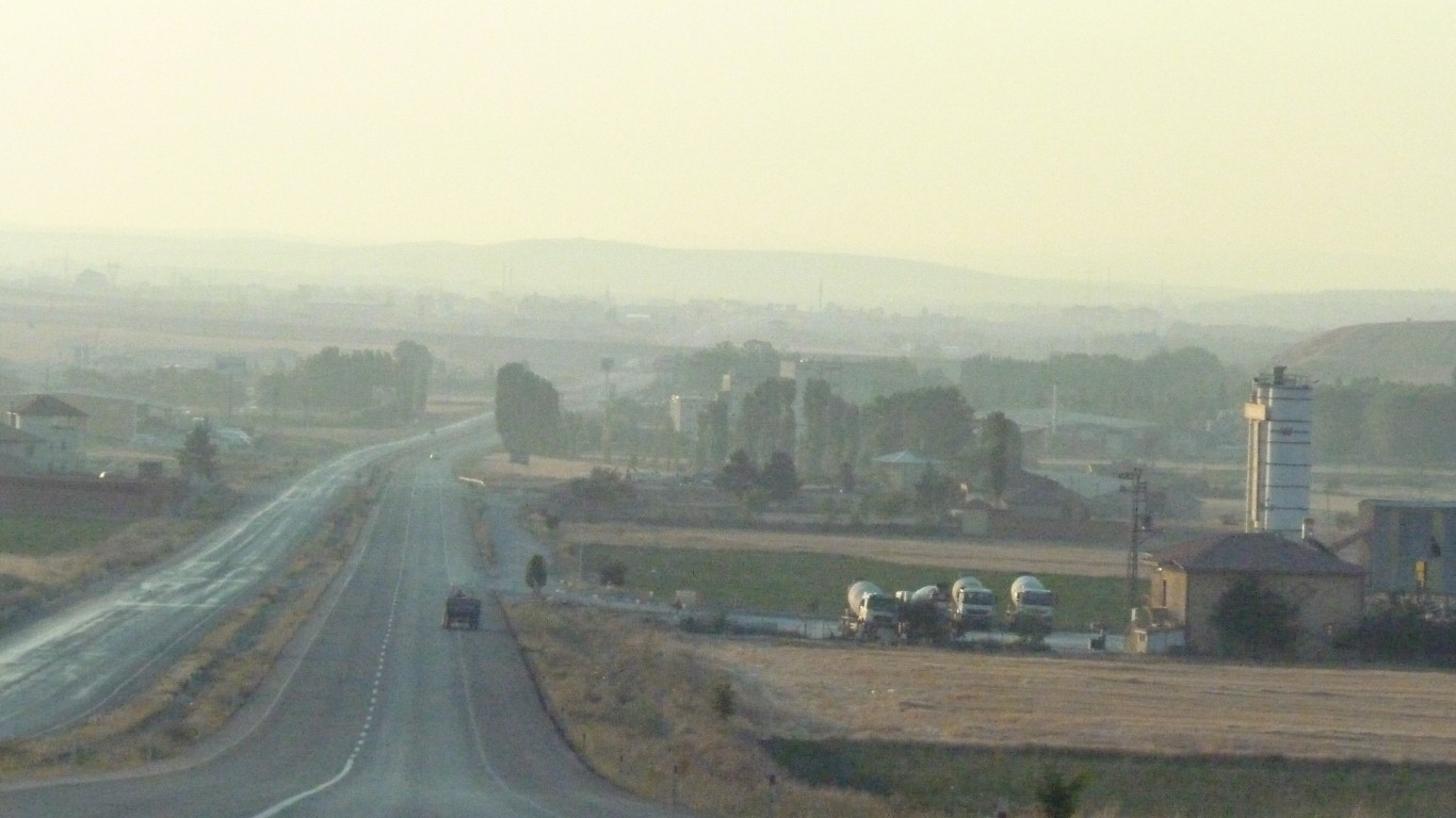
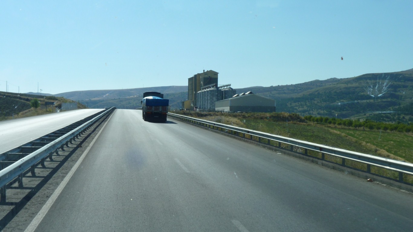
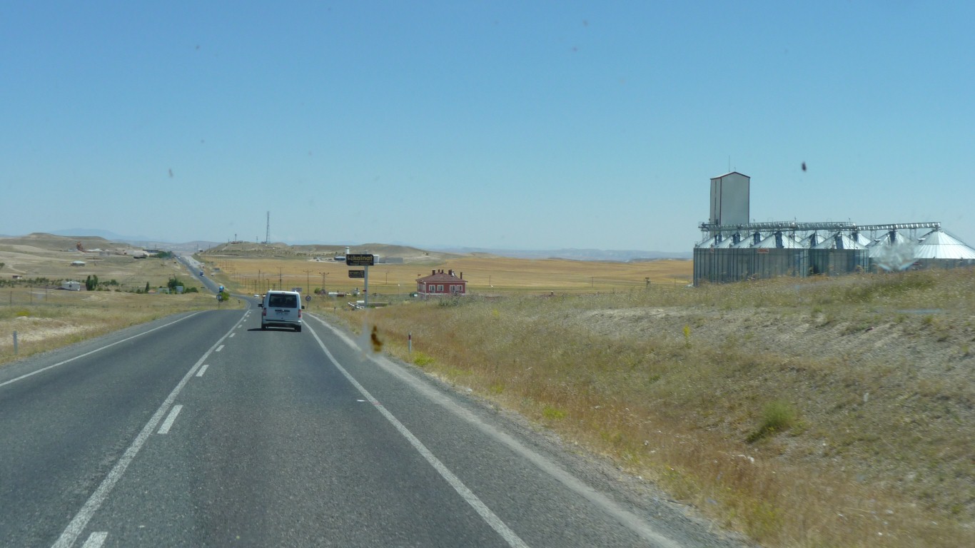
And drying.
After about 400 km on good roads.
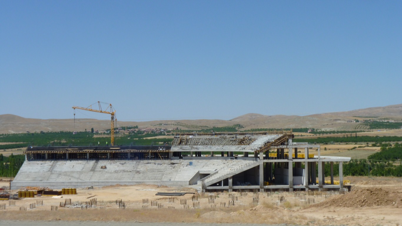
Malatya has a population of about 450,000.
This is their new stadium. Seating for 25,000.
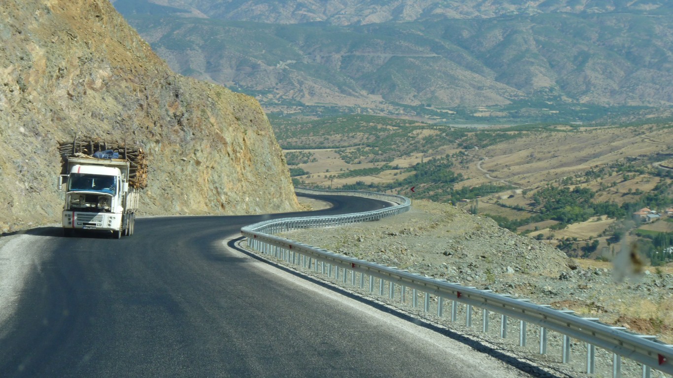
The bonnet of this truck hauling timber up the hill was open for ventilation.
We had a similar problem. The new radiator cap has solved the leaking water.
I suspect the fan isn't being driven when required.
Now how to test it?
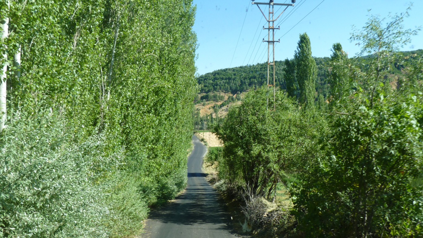
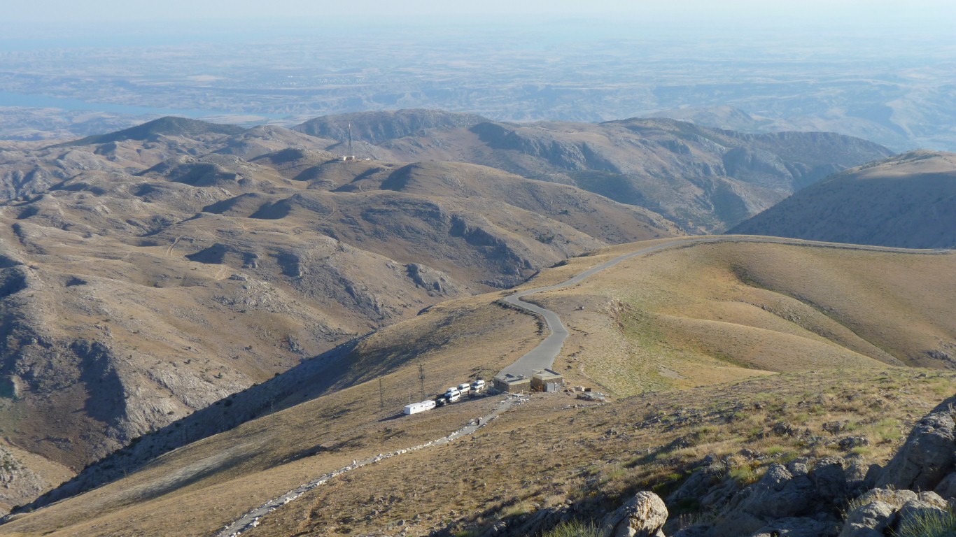
Just after the village of Tepehan it looked a bit narrow, but widened shortly after.
We have one gps saying 9 km, the other 69 km.
We haven't seen any between Hattusa and here.
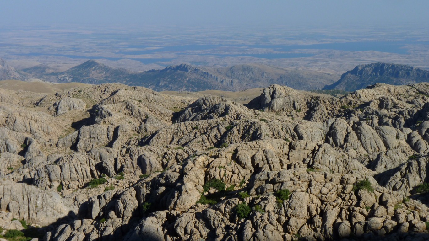
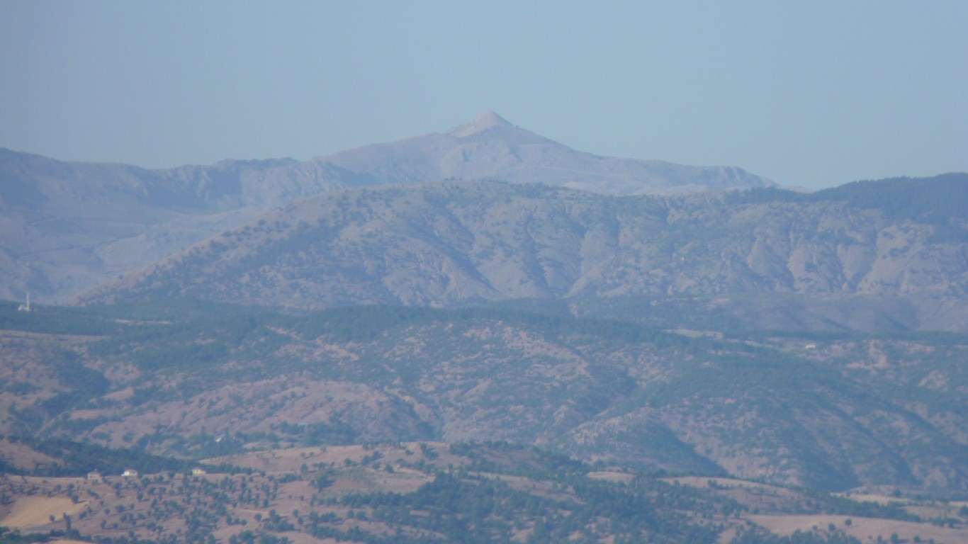
Looking as if eroded by ice.
And this mountain is snow covered for 6 months of the year.
So far in Turkey we've seen Greek, Roman, Ottoman, and the earlier Hittite influence.
We are in Asia Minor.
Here we are seeing Persian influences.
A sense that at last we are crossing between Europe and Asia.
And of course we remember "the Persian Man" from the "Tea Horse Route".
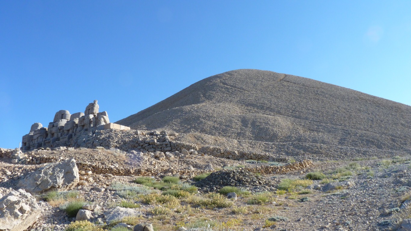
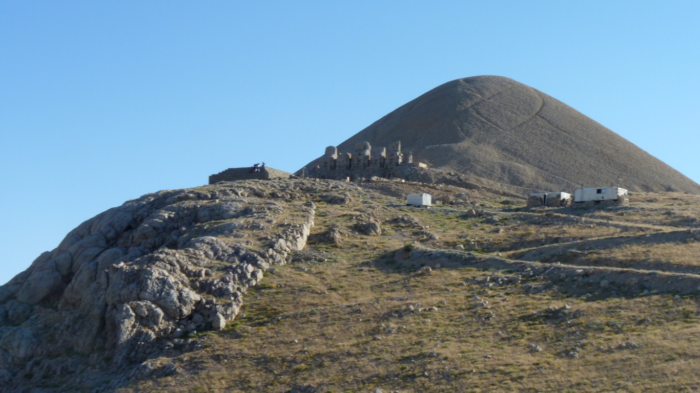
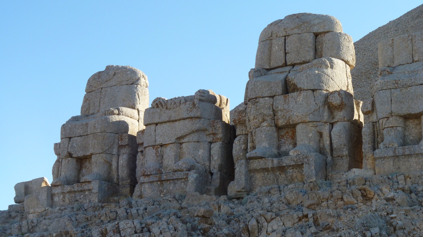
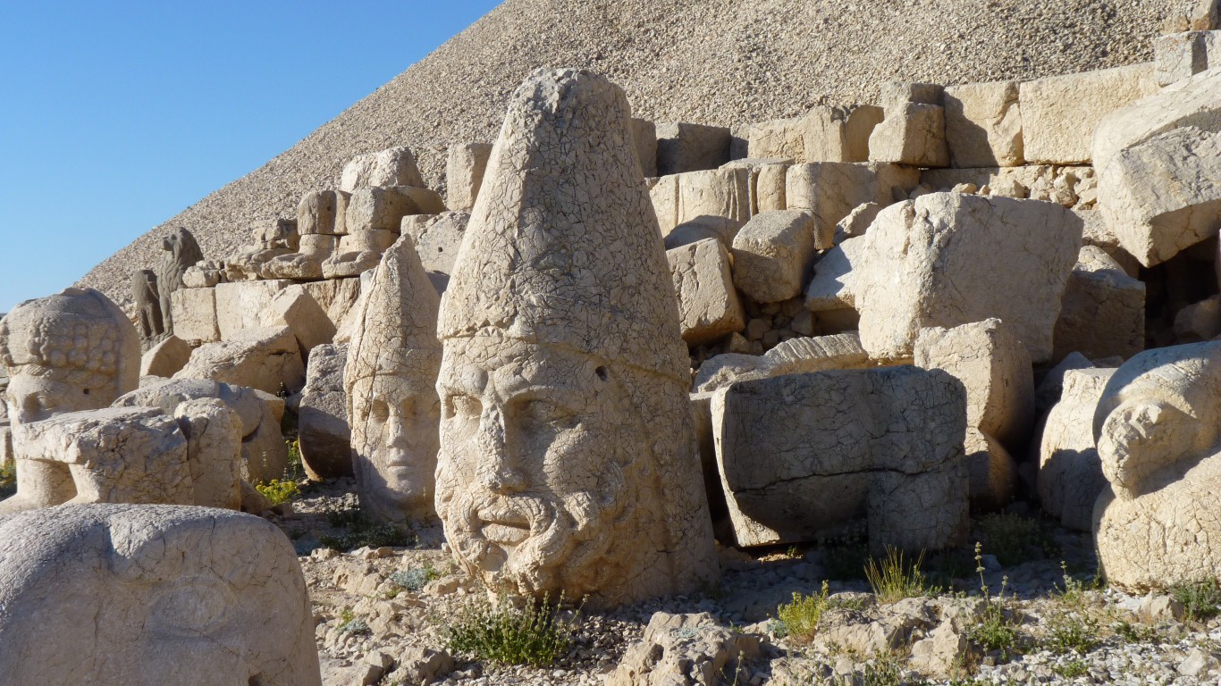
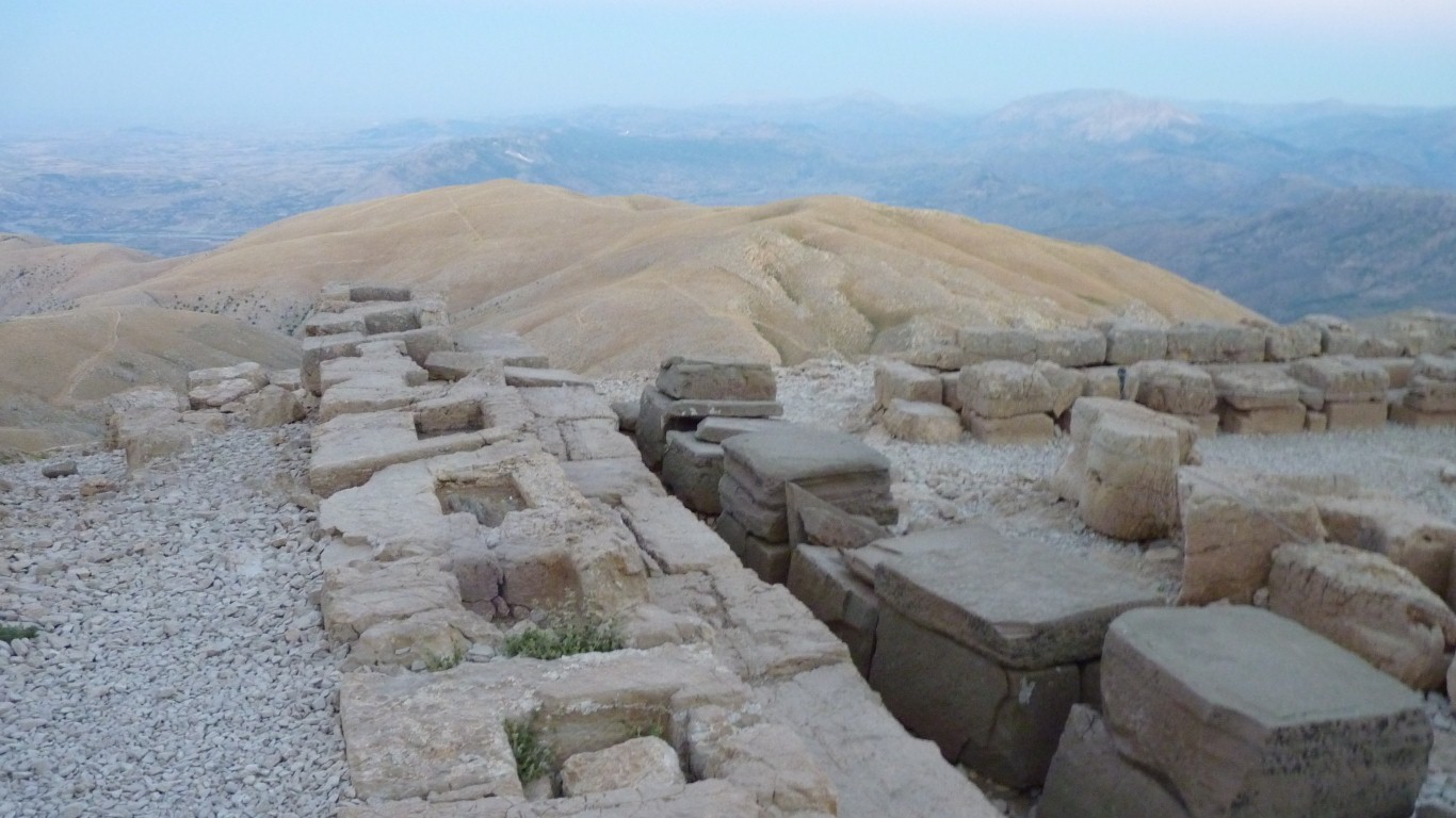
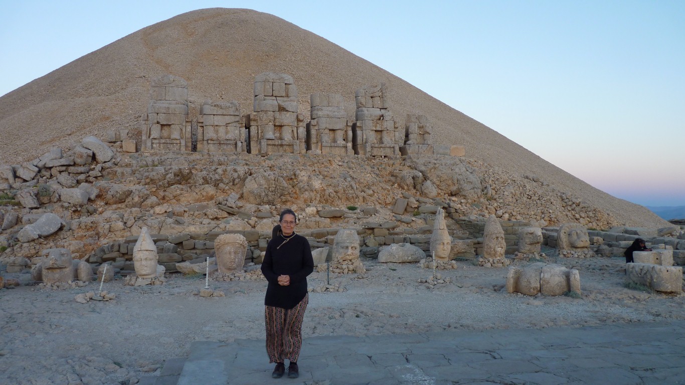
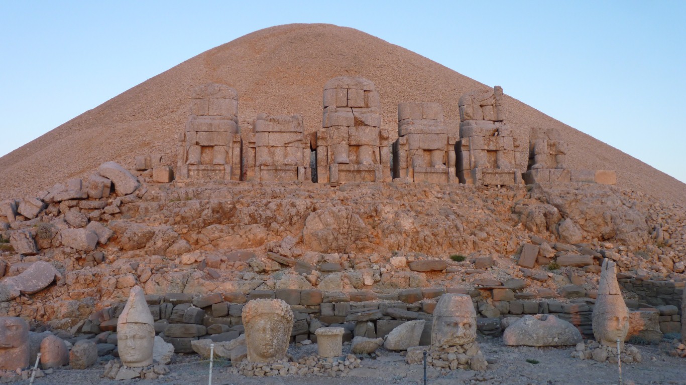
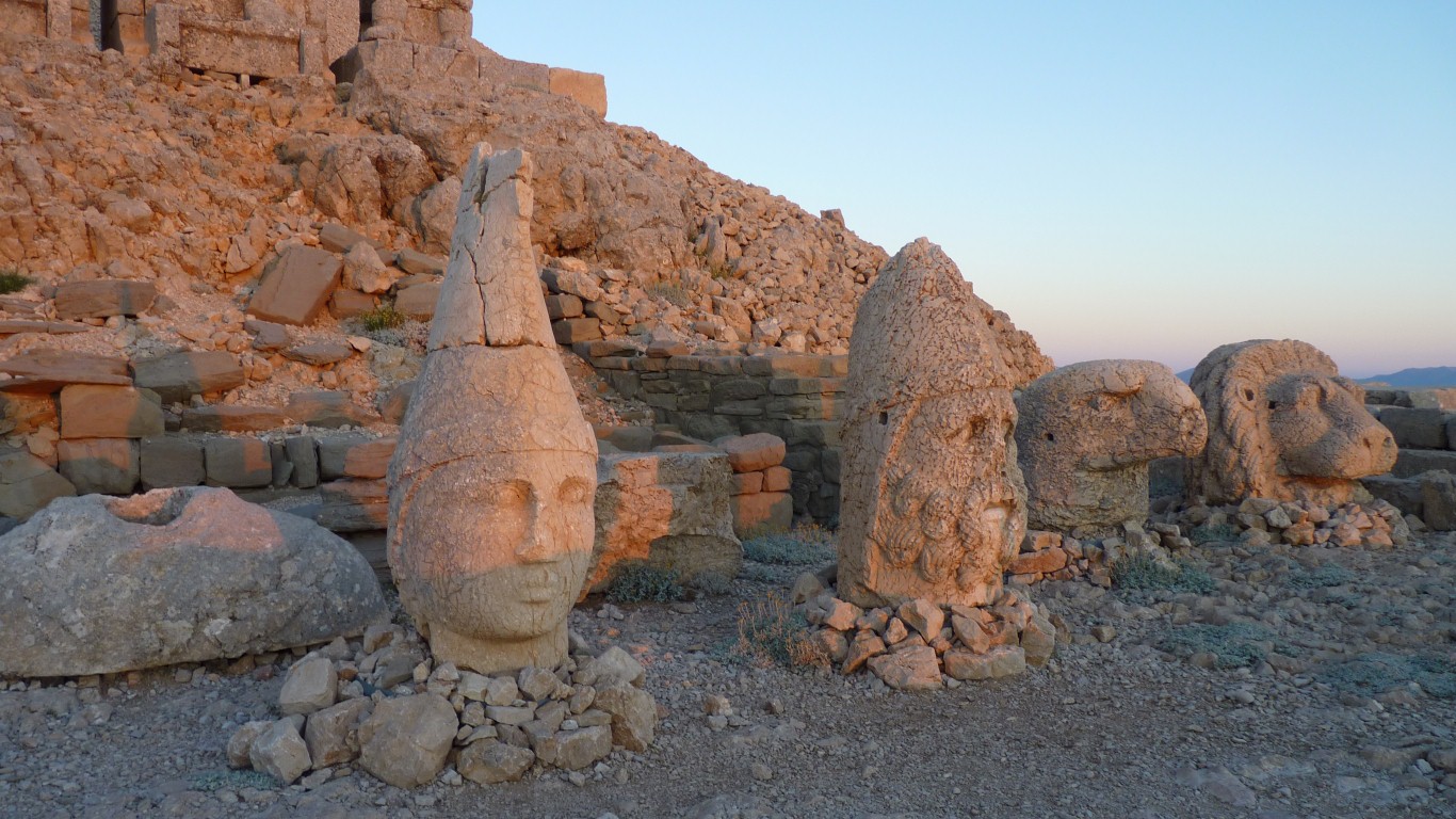
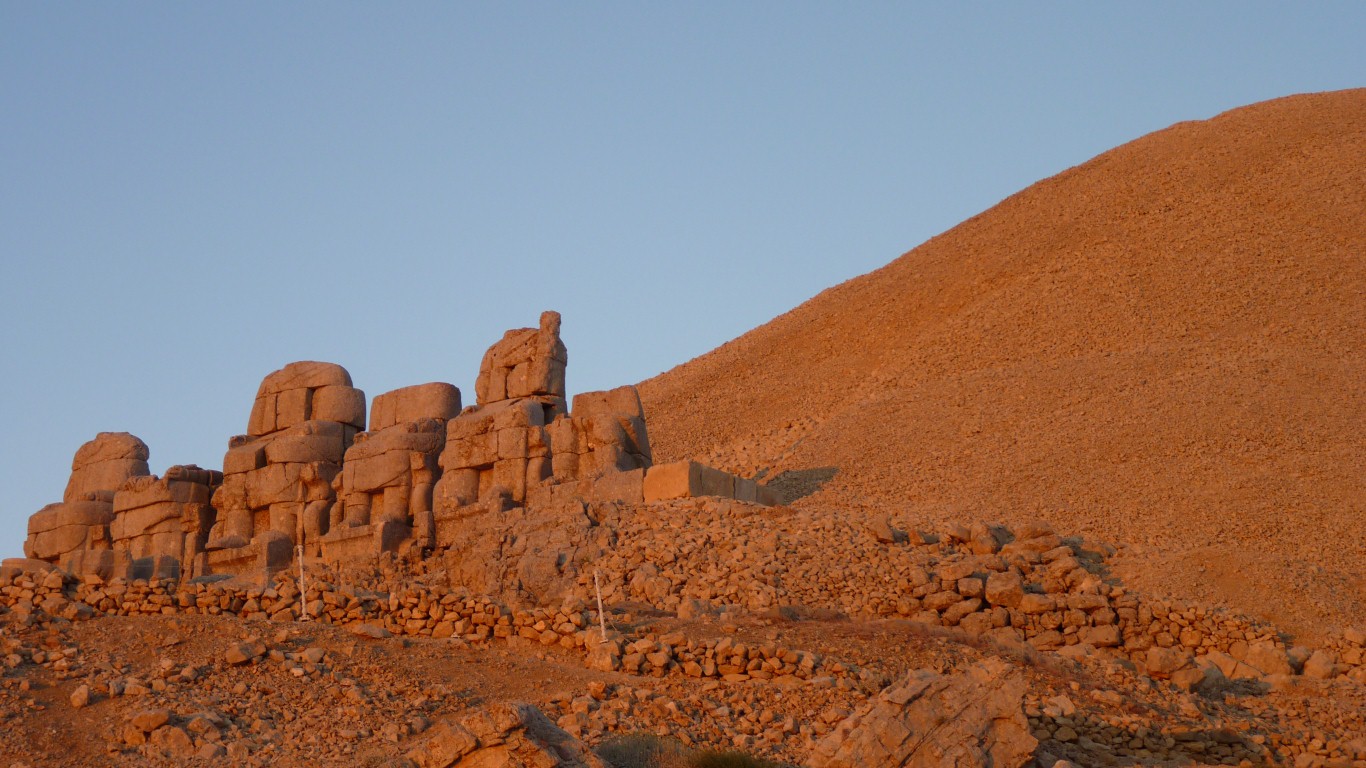
These seated statues, or at least statues of seated gods, are on the eastern side.
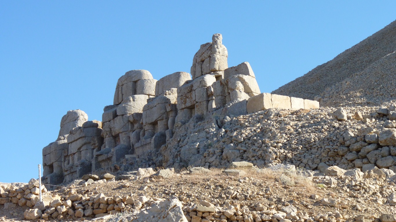
Legs, feet, arms, etc, plus the seats, are all there.
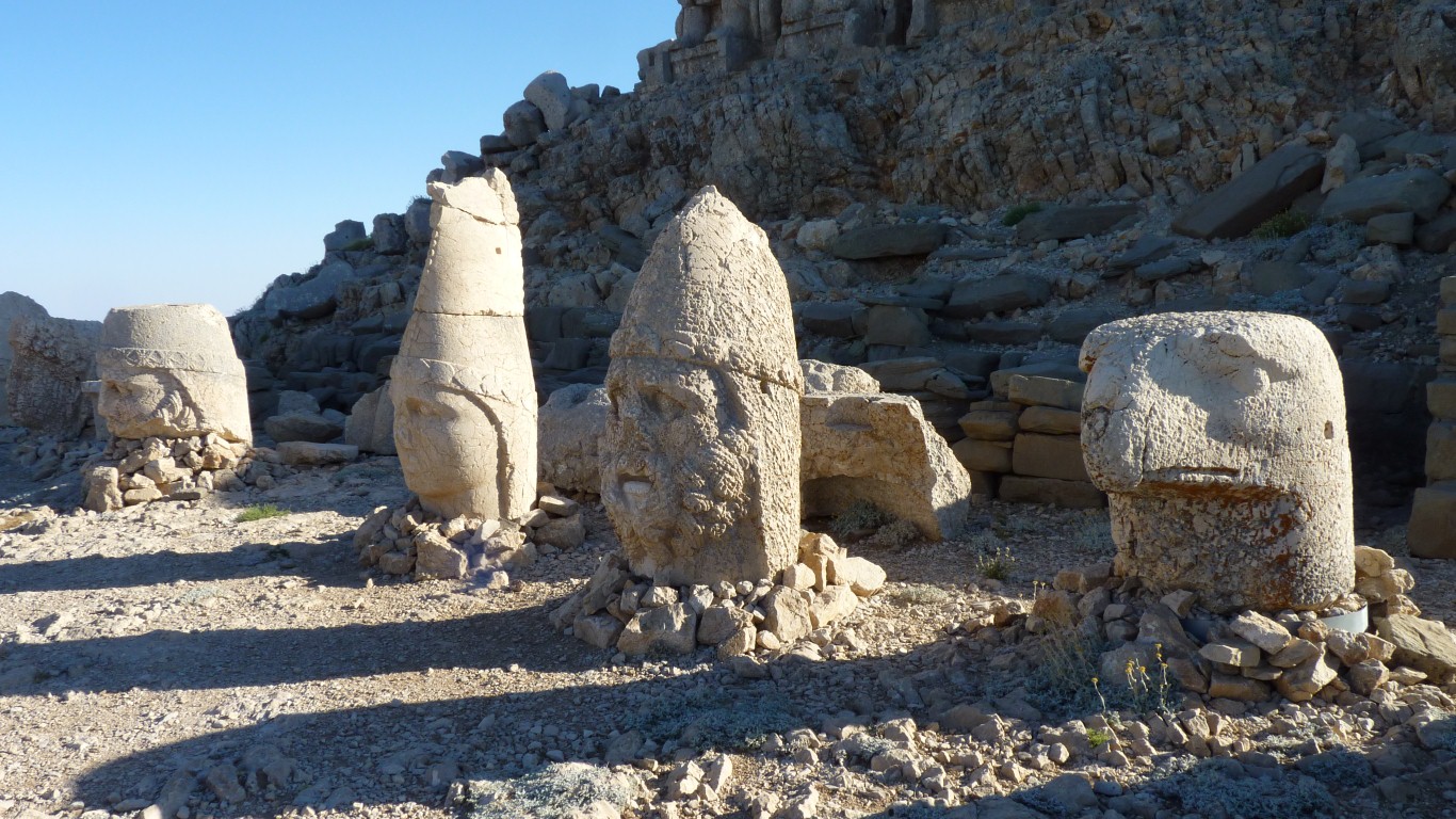
Some have been damaged.
They've been stood upright as part of preservation.
The Gods are various Greek, Armenian and Persian.
There are also lions and eagles.
Plus of course a representation of the king.
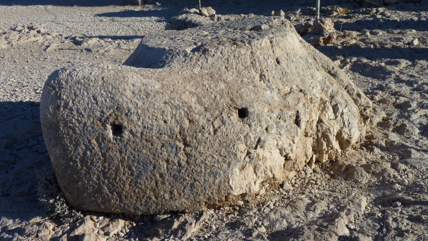
There are rectangular holes cut in the stonework.
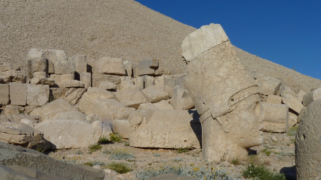
The seats and statues aren't as obvious.
Though the heads are easier to see.
The Seleucid Empire was defeated by the Romans in 190 BC.
Commagene was a state which then emerged between the Taurus Mountains and the Euphrates.
The problem for Antiochus was to unite various ethnic groups.
So the imperial cult attempted to please all.
Strangely reminiscent of Han Solo in Star Wars - or where did they get the idea from?
The base is like a Tee. This one has the leg broken.
It looked like they would stand vertical in the square holes.
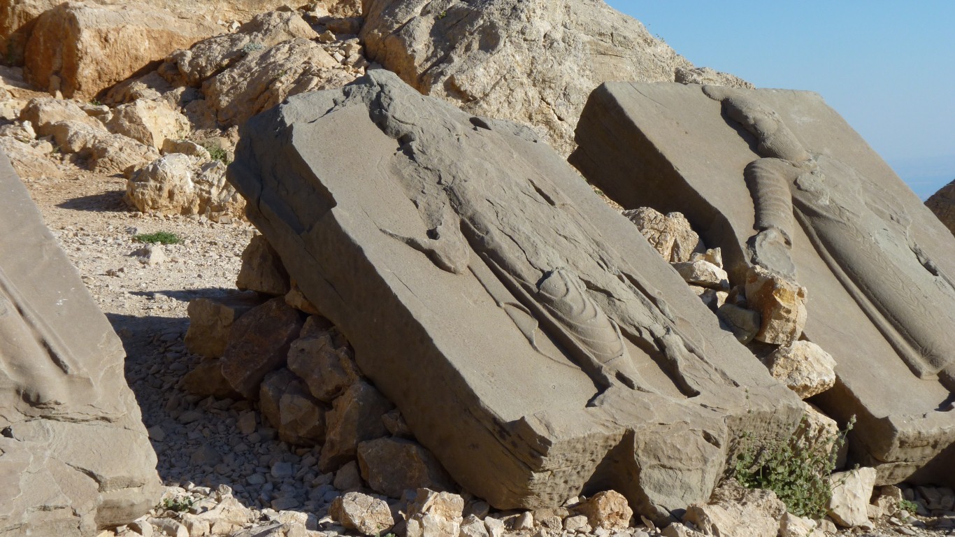
A sort of freeze, or wall of figures.
There are more holes than slabs.
We couldn't find the slab depicting various celestial objects as they would have been in 62BC.
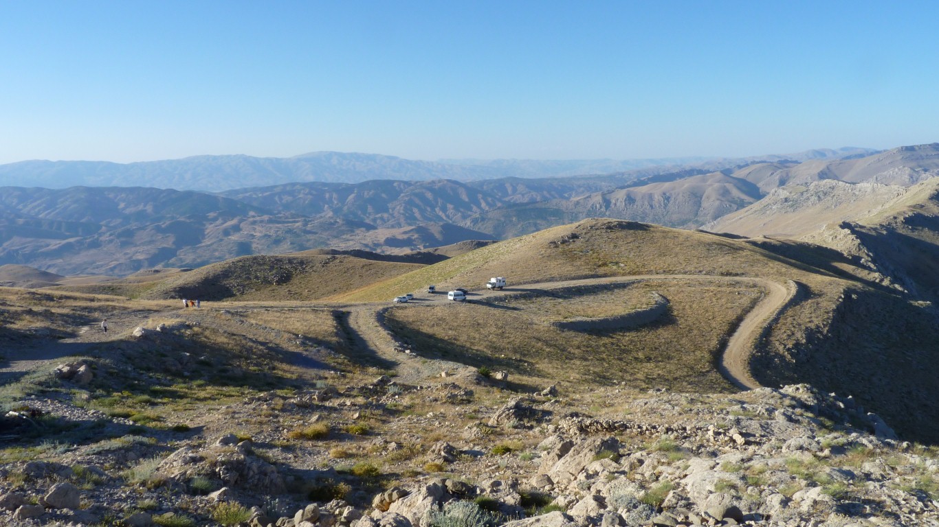
There's a cafe.
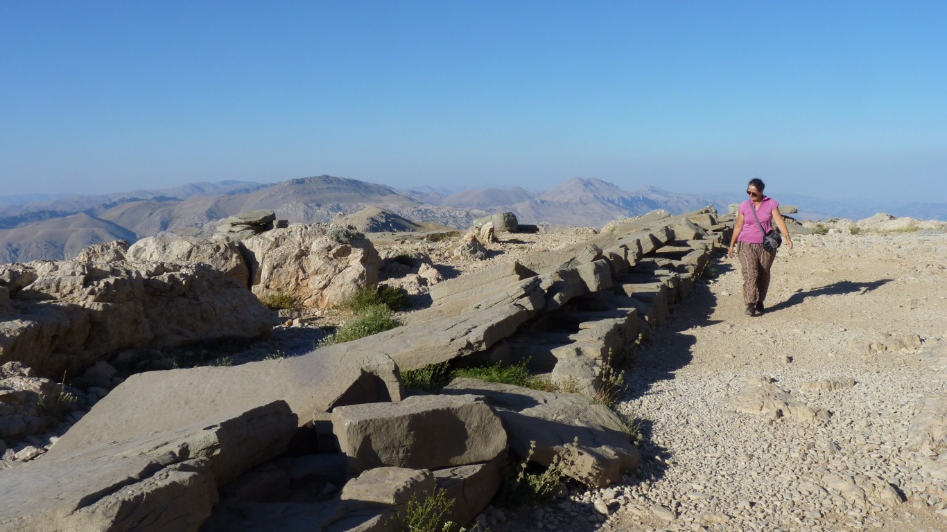
And a walk up the hill.
Ne'er the 'twain shall meet.
Which explains the 180 km difference between the gps units.
When we leave we will have to find a way round to the south.
At least one of the gps knows the way.
We are left with the visible bits.
And some interesting shaped stones.
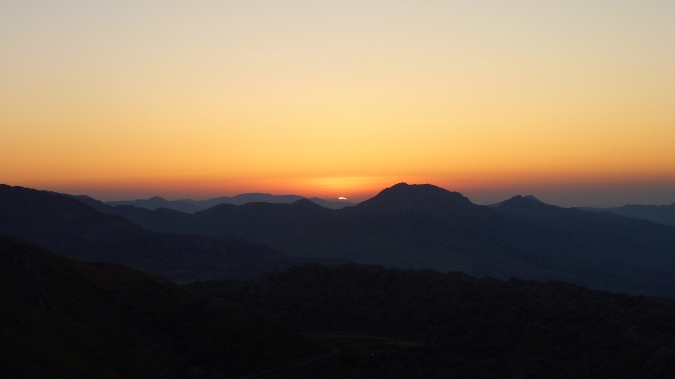
We are camped in the car park (normally forbidden and we don't know why we are allowed but are grateful). We'll be able to catch the sunrise.
A quick trip up the hill to watch the sun rise.
And look for the tablet with the celestial bodies again.
At least another look at the pedestals.
All a bit odd really, though I guess in the days the monument was built it was still thought that the sun revolved around the earth.
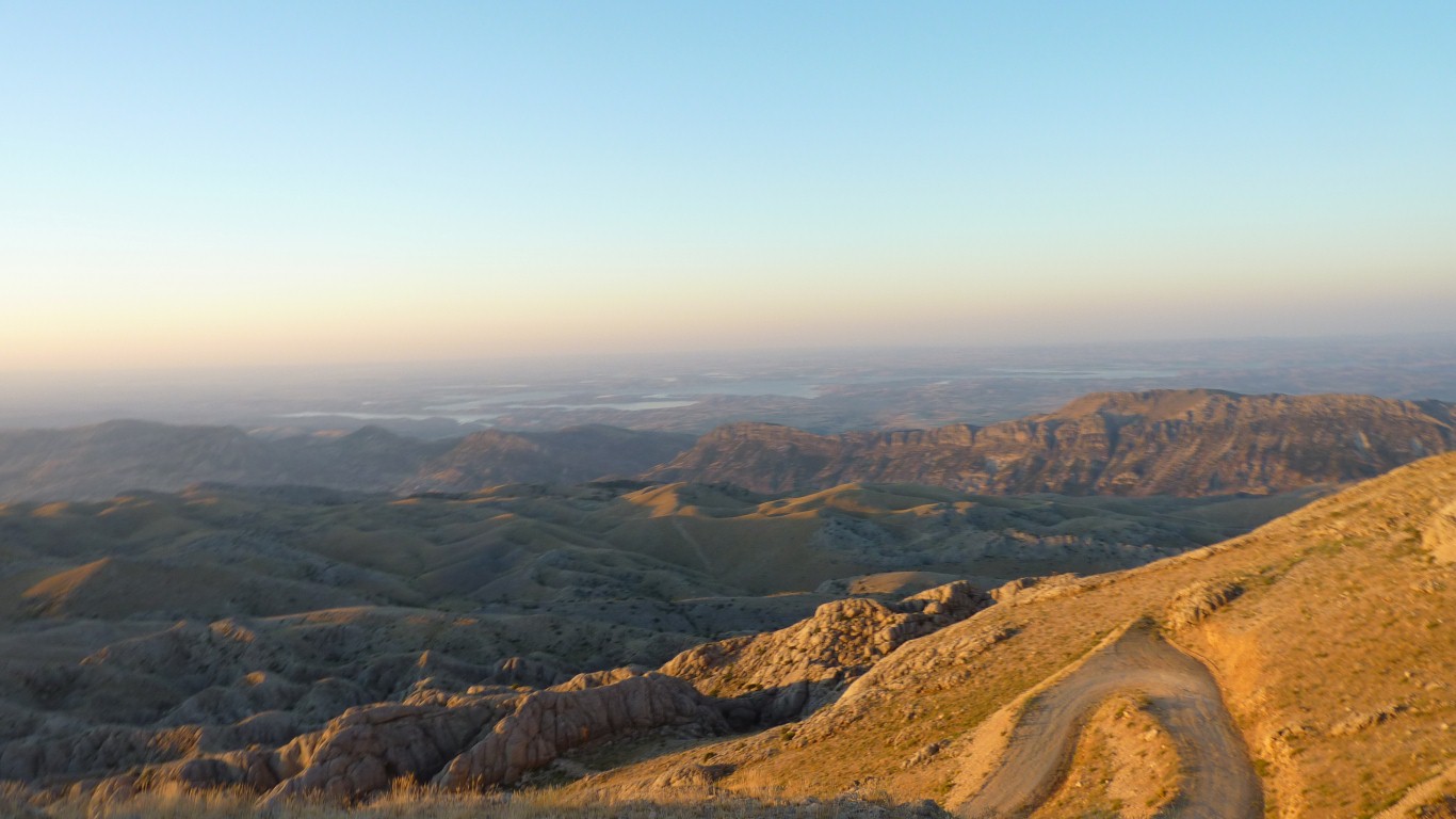
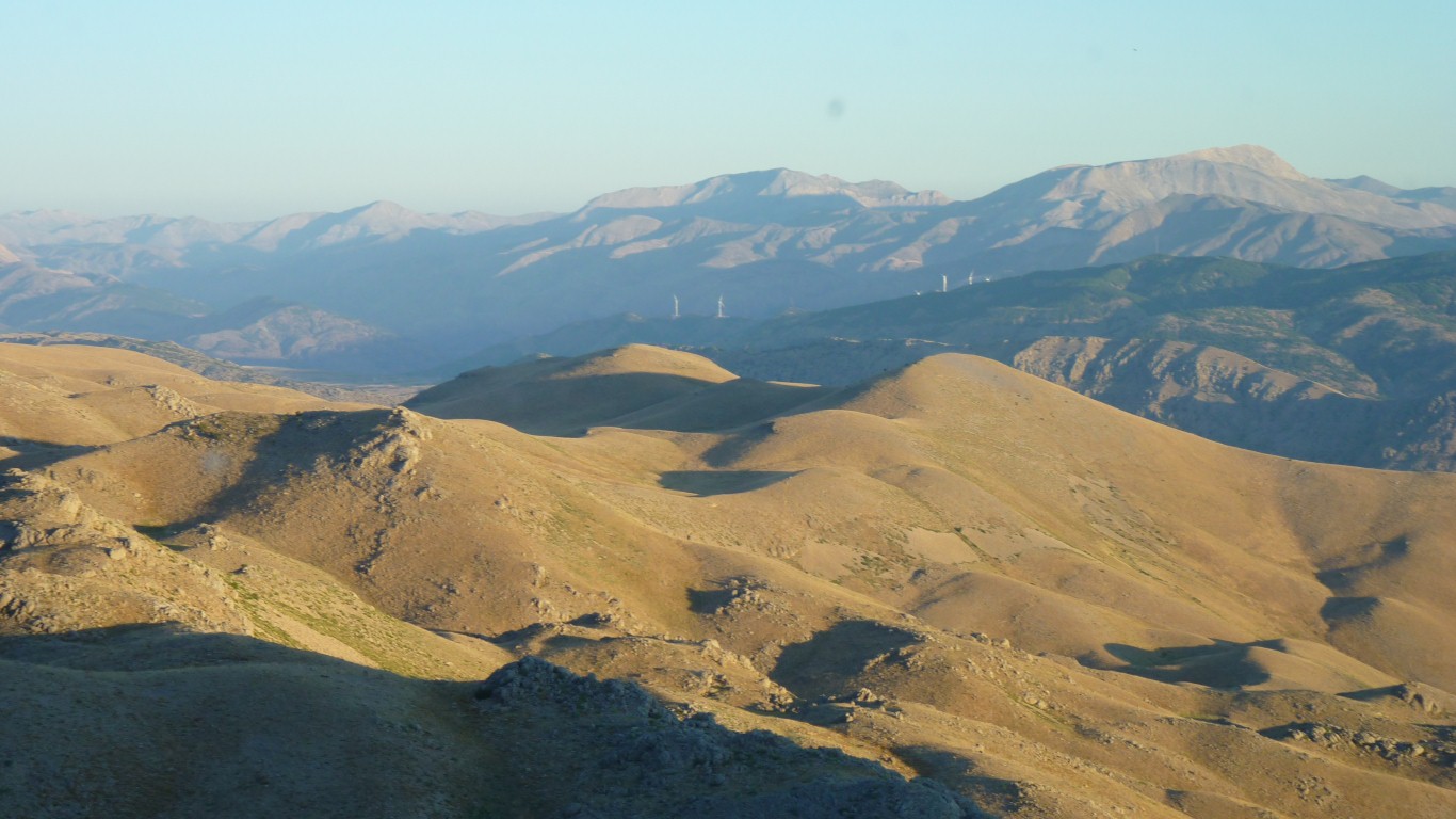
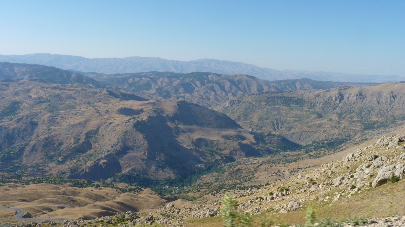
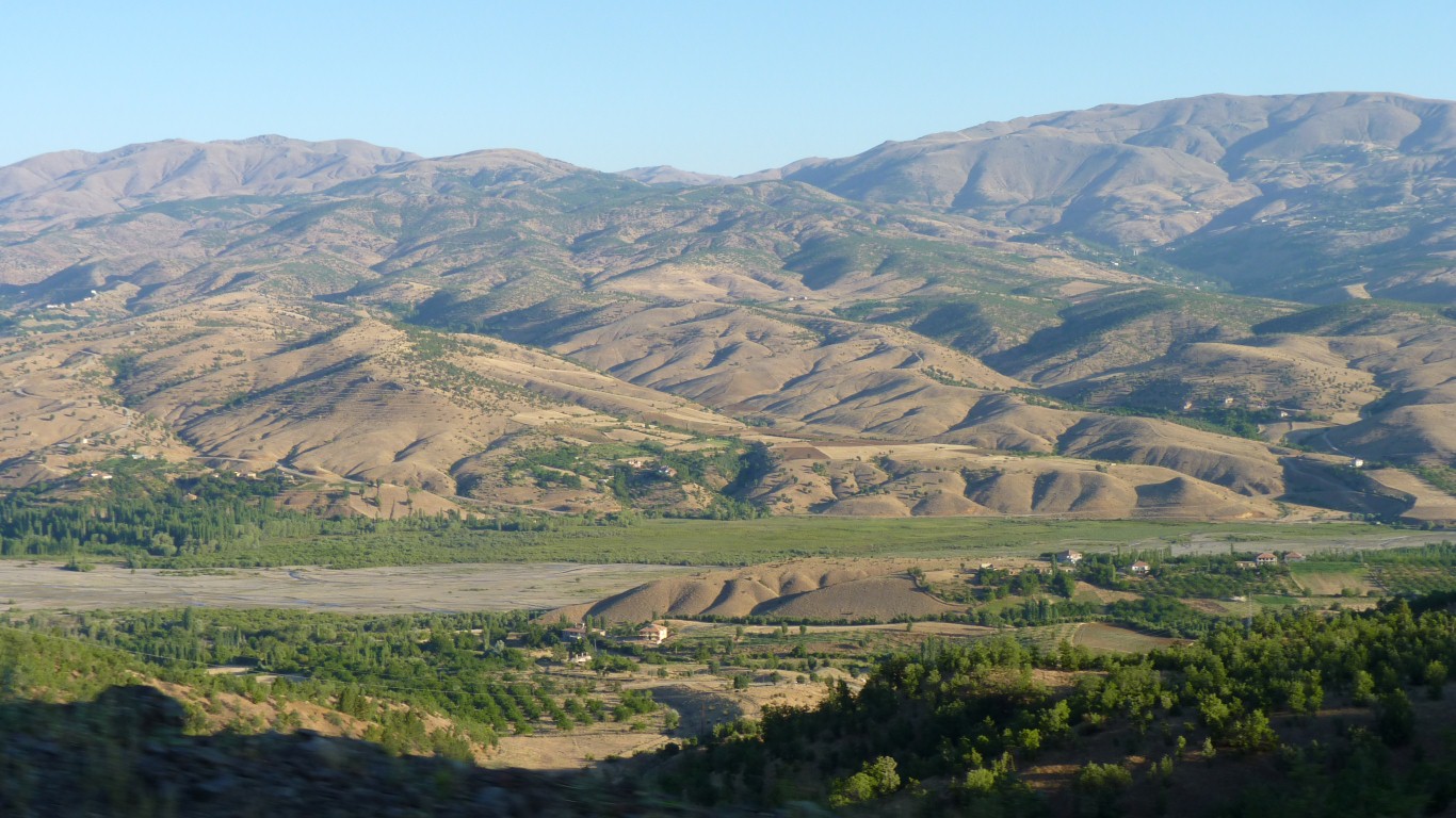
We'll drop down in to the valley then up and over the next range.
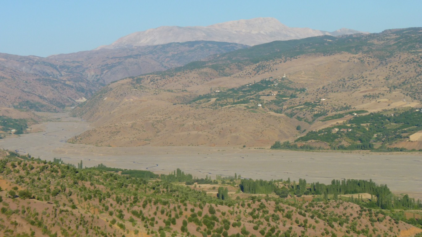
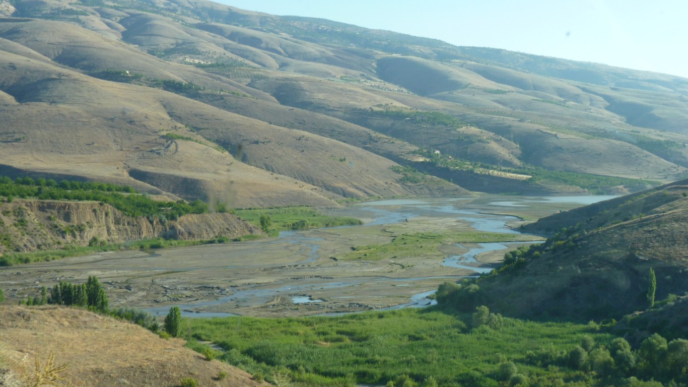
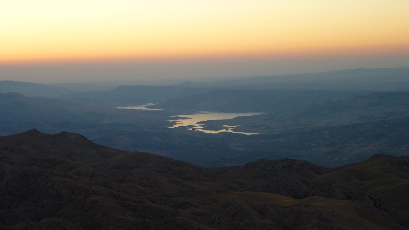
We aren't used to seeing surface water.
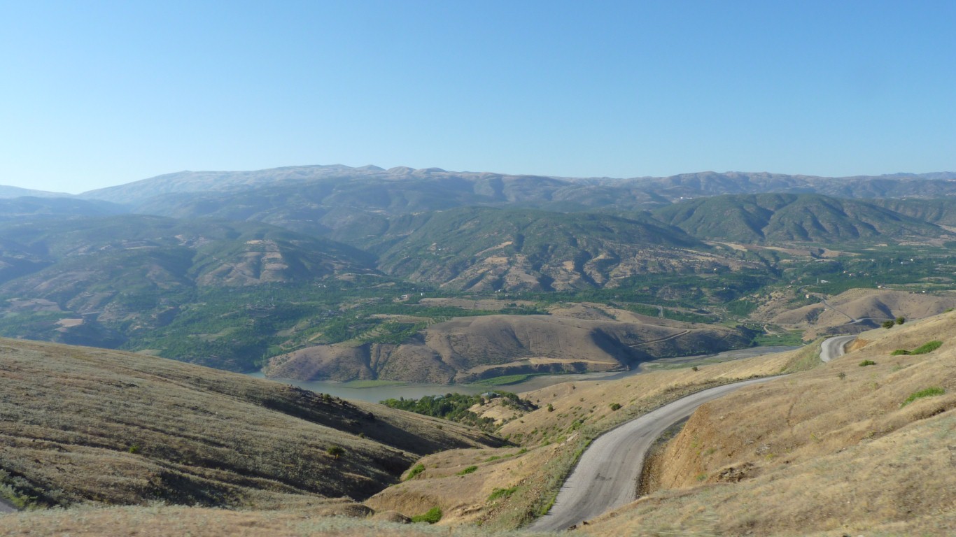
Sadly, the road we thought went over the top doesn't exist.
So we are on a road which stays at the same altitude round the edge of the range.
About 25 km away.
One gps thinks its a dead end.
We can see the road along the mountainside.
Kale (and the main road) is just around the corner.
Down at lake level.
