Looking back to Mongolia we recall being beset by a similar wearyness to our current state.
Situation normal for rough roads. This time we made it worse with the long drives in Turkey.
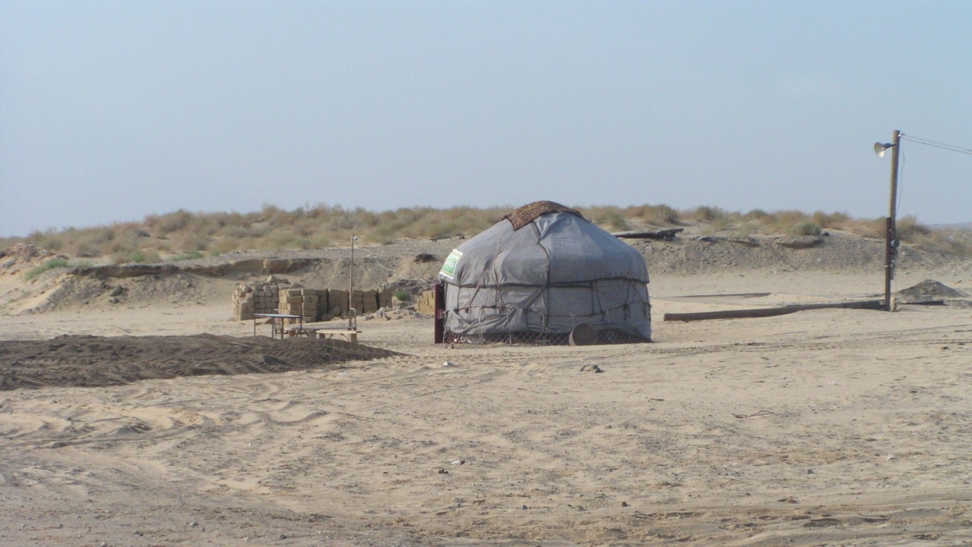
And what did we see next to the M32 just south of Aralsk?
A ger.
Though the nomadic lifestyle was stamped out by the Russians in the 1920's.
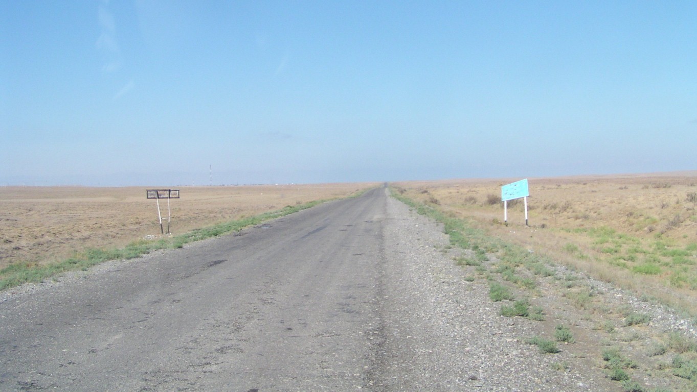
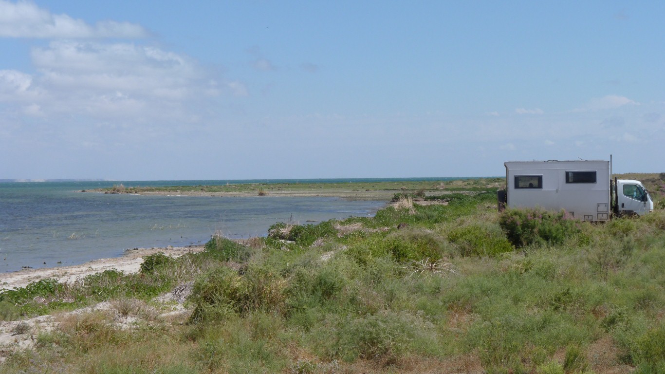
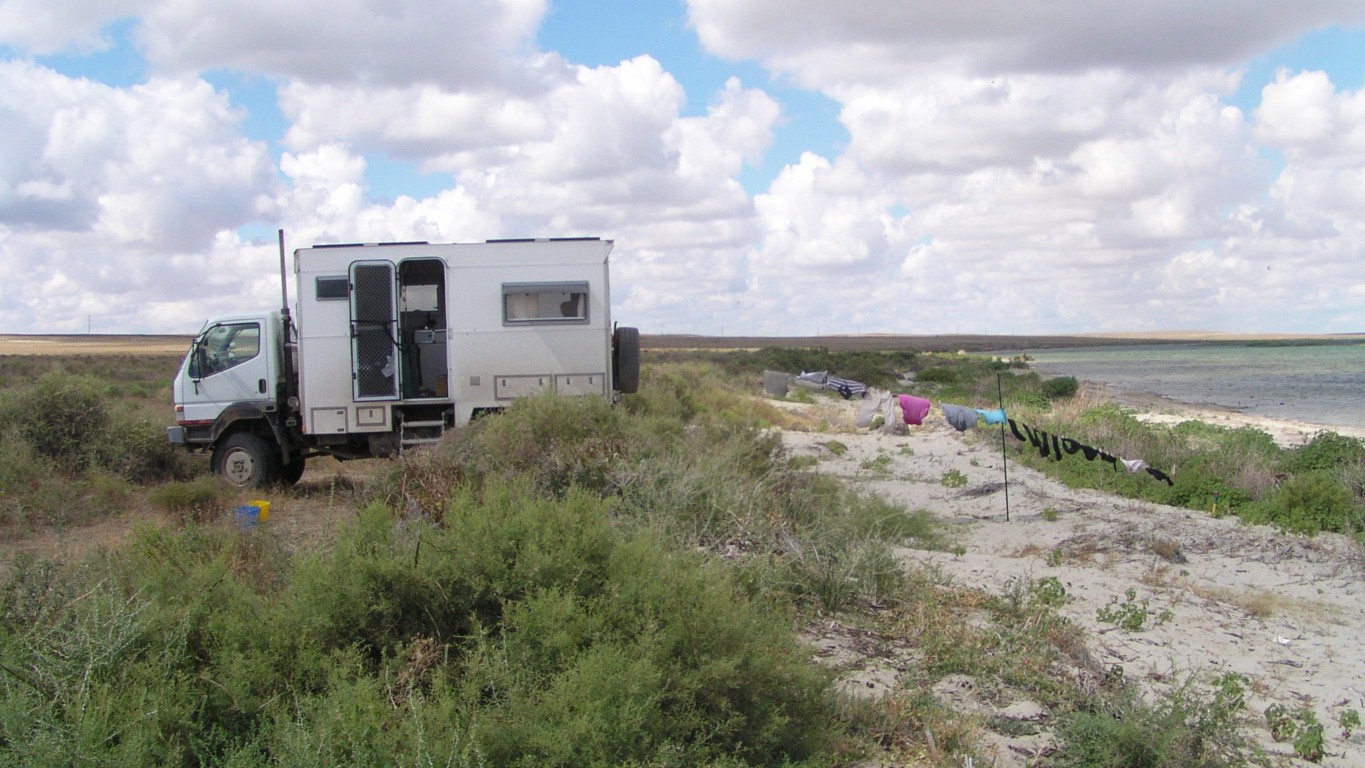
About 70km south of Aralsk we turned right off the main road.
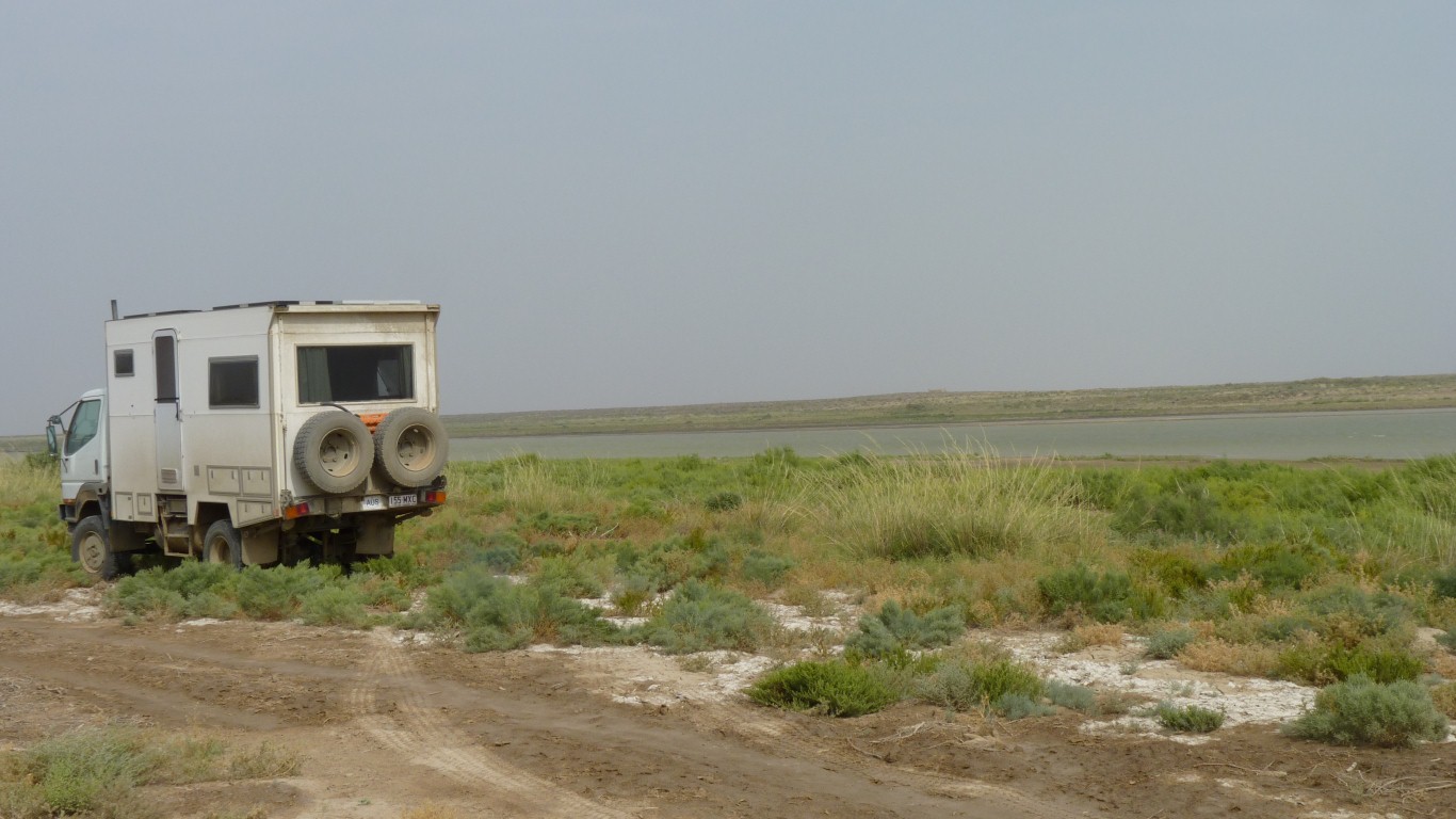
Along the southern edge of Lake Kambash (Qamystibas).
Surprised that the road is sealed.
Kazakhstan is the world's 9th largest country. With about 10,000 km of railways. Mostly Russian gauge.
The network has been progressively dveloped since 1894 with significant lines around 1905 and 1920's.
In May the Presidents of Turkmenistan and Kazakhstan attended the opening ceremony of the Turkmen- Kazakh section of the Kazakhstan - Turkmenistan - Iran railway. By-passing Uzbekhistan.
Wheat and oil exports as well as transit traffic. Part of connecting east-west and north-south.
A second China - Kazakhstan line was completed in 2012.
Almost indecipherable.
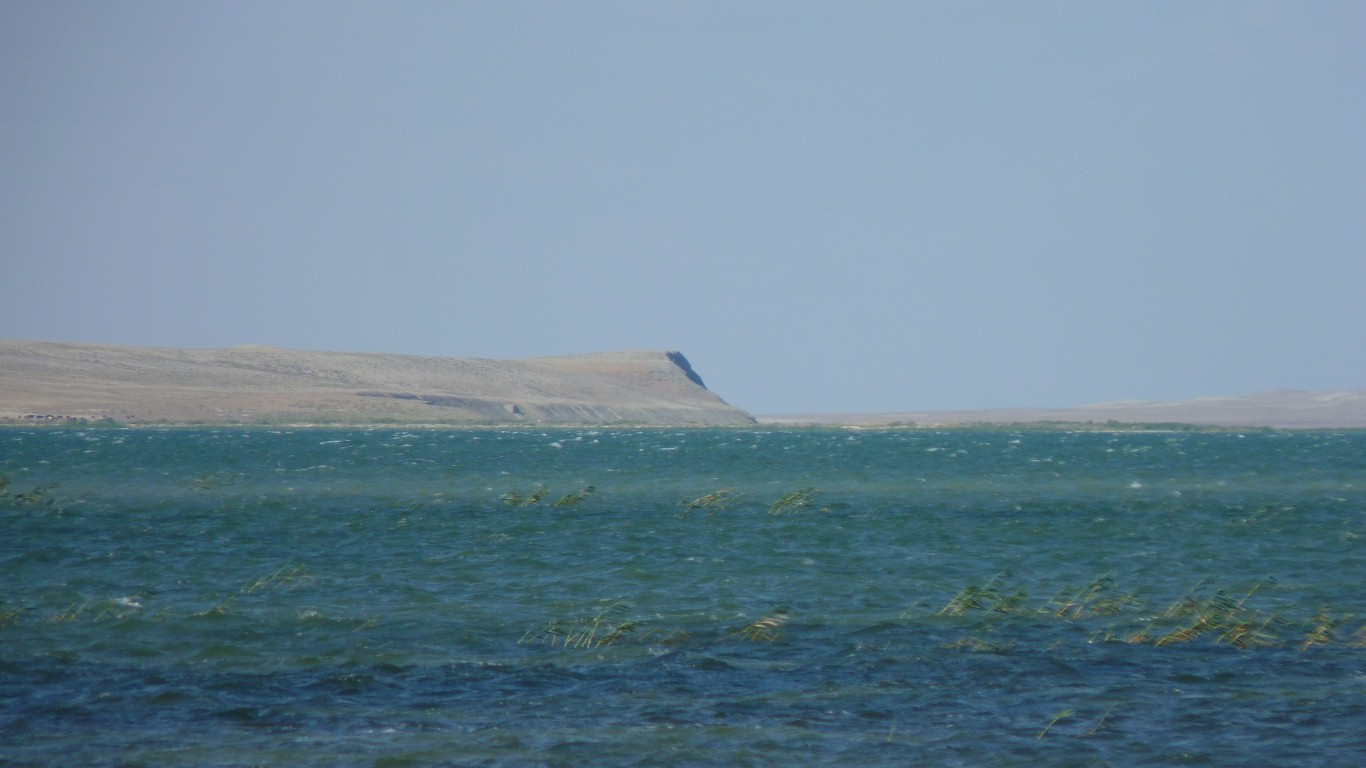
But, common sense to the rescue. By looking out the windscreen we can see the edge of Lake Kambash.
There are two rivers that feed the Aral Sea. The Amu Darya flows from the Pamir and Karakoram Mountains a couple of thousand km to the east of us. It forms part of the border between Afghanistan and Tajikistan / Uzbekhistan then through Uzbekistan to turn north and enter the southern end of the Aral Sea in a broad delta.
The smaller, more northerly, Syr Darya rises in the Tien Shan Mountains in Kyrgistan. It flows through the Fergana Valley in Uzbekhistan thence through Kazakhstan to enter the Aral Sea at its north east coast. About 3,000 km.
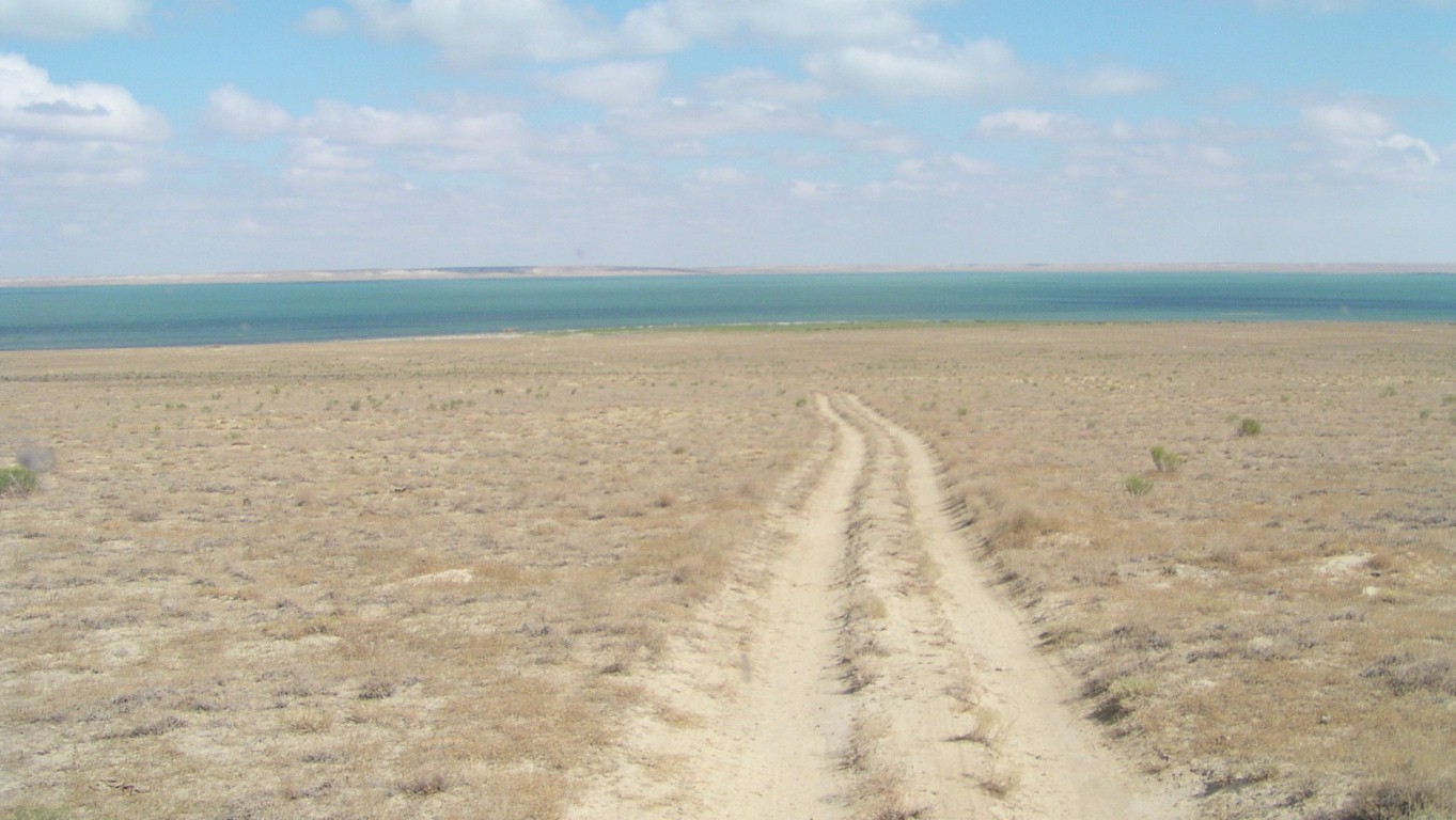
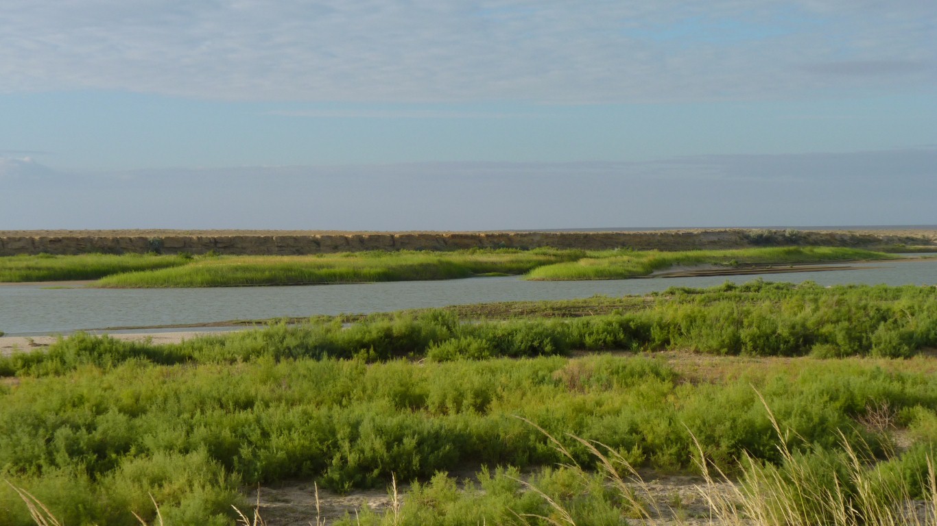
The Syr Darya flows through Lake Kambash (which is why all this blurb is here).
The Caspian and Aral Seas, and all the smaller lakes, have no outlets to the sea. Water loss is by evaporation and seepage.
Hence the drying up of the Aral Sea.
Uzbekhistan has continued the Soviet Era approach to cotton, the industry is central government managed with what has been described as slave labour and a variety of other anti-social practices that mean western companies try to boycott the use of Uzbekhi cotton..
Kazakhstan has privatised the industry and some rehabiliation of the water system is happening.
The "North Aral Sea" which is wholly in Kazakhstan, was separated as the Aral Sea level fell by 22m. It has been dammed and has since risen by about 11m and is being rehabilitated.
The larger "South Aral Sea" is mostly in Uzbekhistan and remains a disaster.
Lake Kambash is 25 km long and has also been the subject of rehabilitation (we think with Czech help).
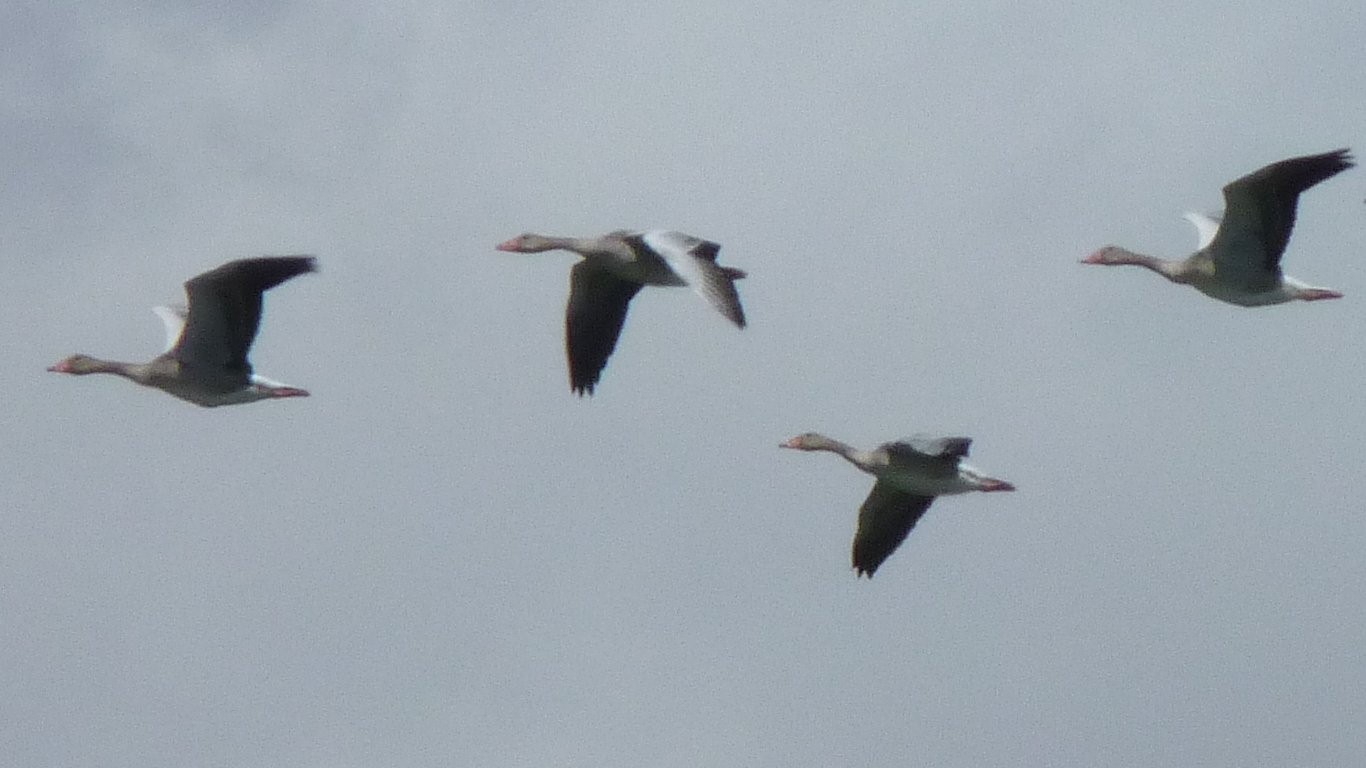
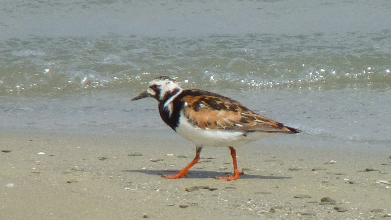
If we get close enough to the geese we'll figure out what sort they are.
And unlike other places we've stopped where the wind subsides at night, and arrives around midday, its so far been constant. But a cool 25°C.
The water is just a little salty for drinking, but ok for washing.
We are about halfway across Kazakhstan, having traveled 1600km in 14 days.
After a rest we are looking forward to better roads for a while.
The salt and pollutants are concentrated in the lake water. End of the line, nowhere else to go.
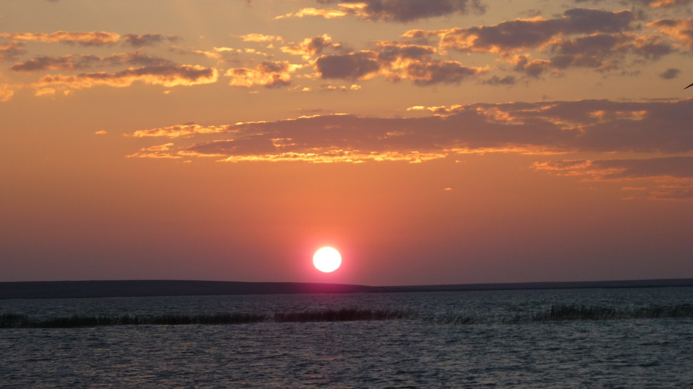
Nothing left to do but watch the sun set.
We also remember the Ob River. Those long days after the Altai finding our way around it. To avoid being taken to the Arctic Circle.
One plan was to divert water from that to replace the water in the Aral lost to irrigation. Too expensive even for the Russians.
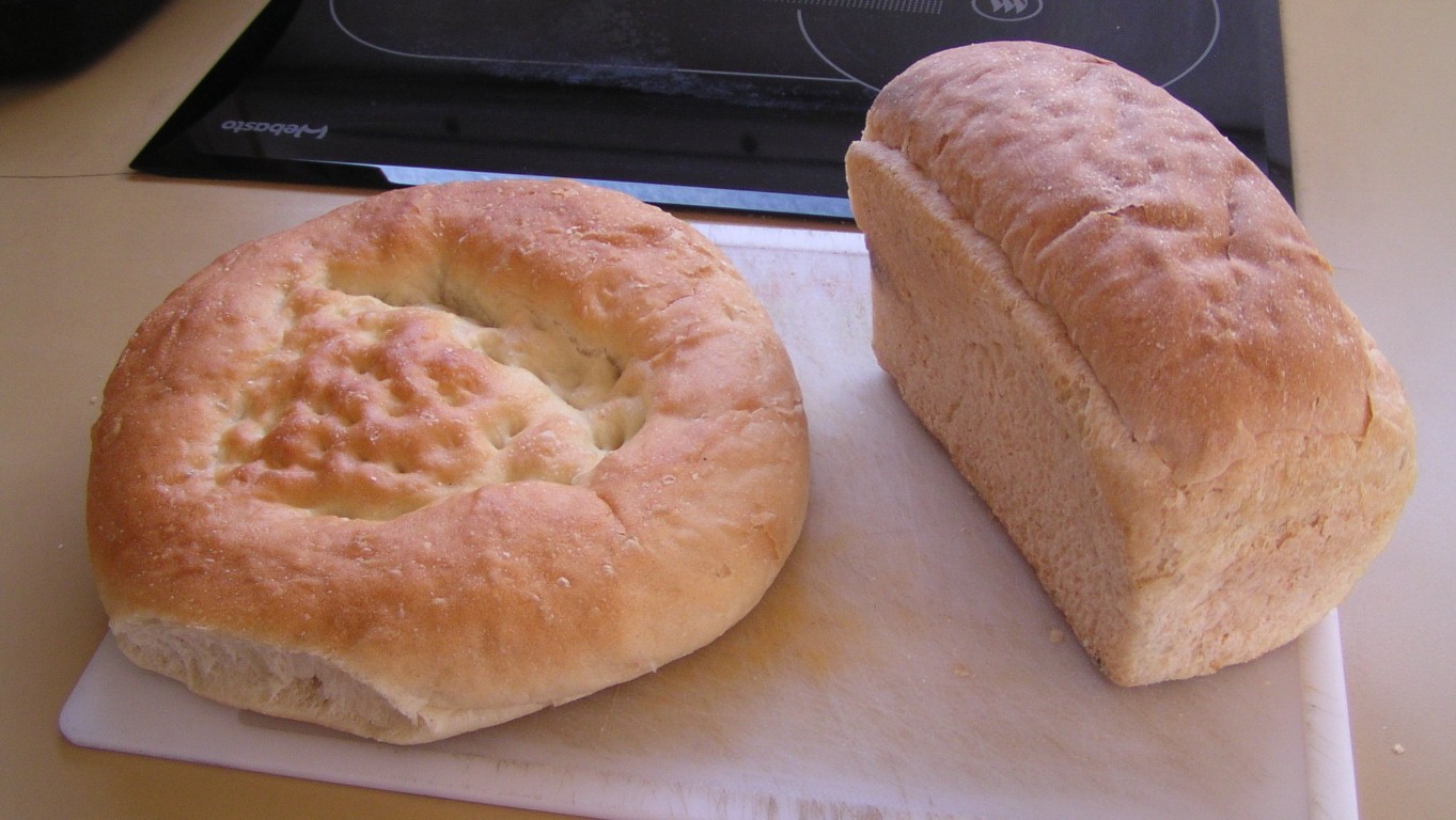
Bought at the next town as we set off again.
Though a sense that two days rest wasn't enough.
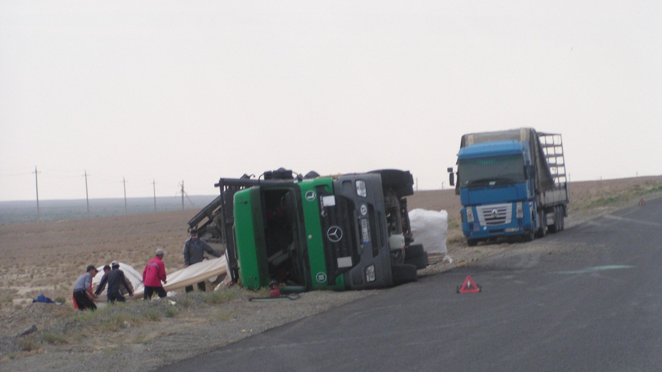
The road is straight for long distances.
Possibly driver fatique.
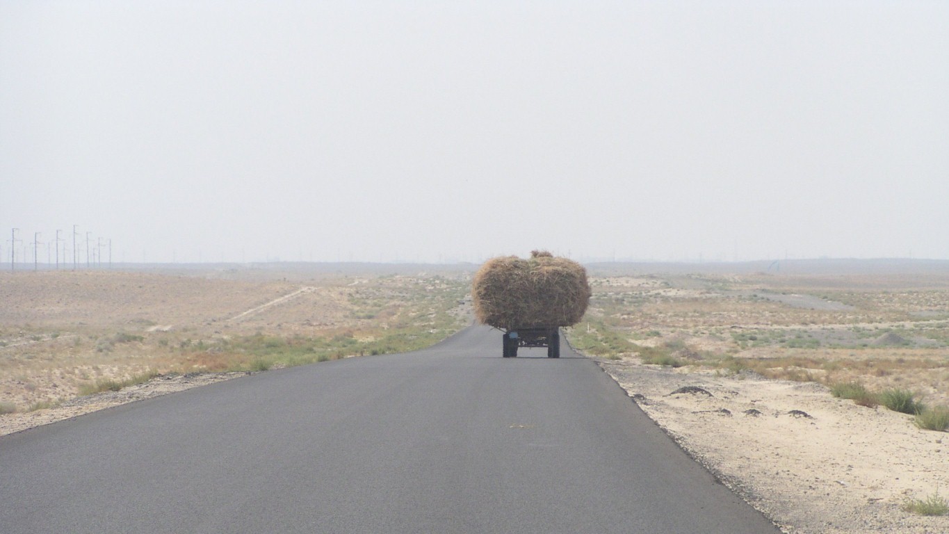
This is desert.
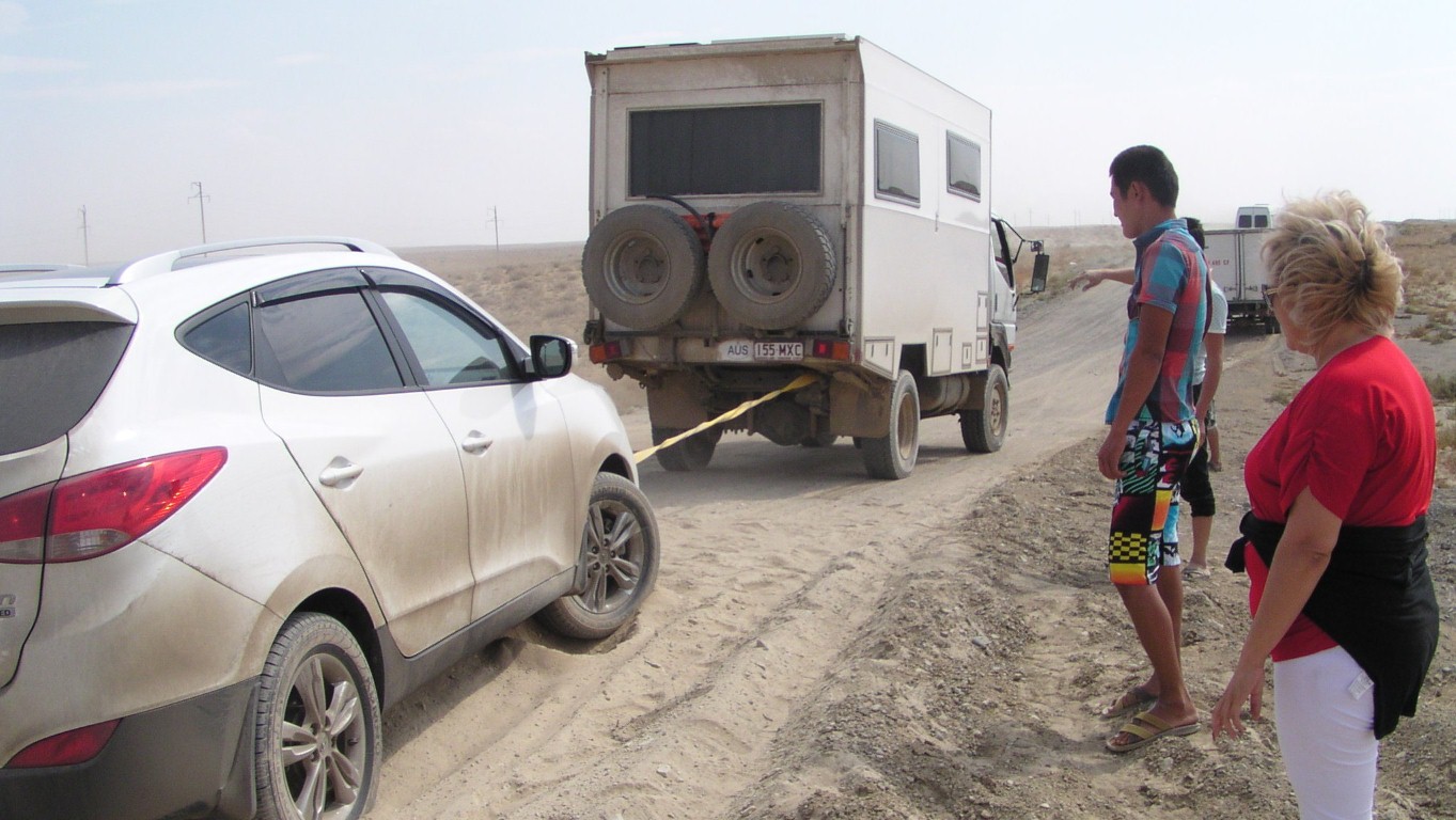
Lots of very fine dust had covered some old seal.
The car was just about resting on its belly. Wheels in the dust.
A very slow gentle tow, no damage, and a grateful Russian lady driver.
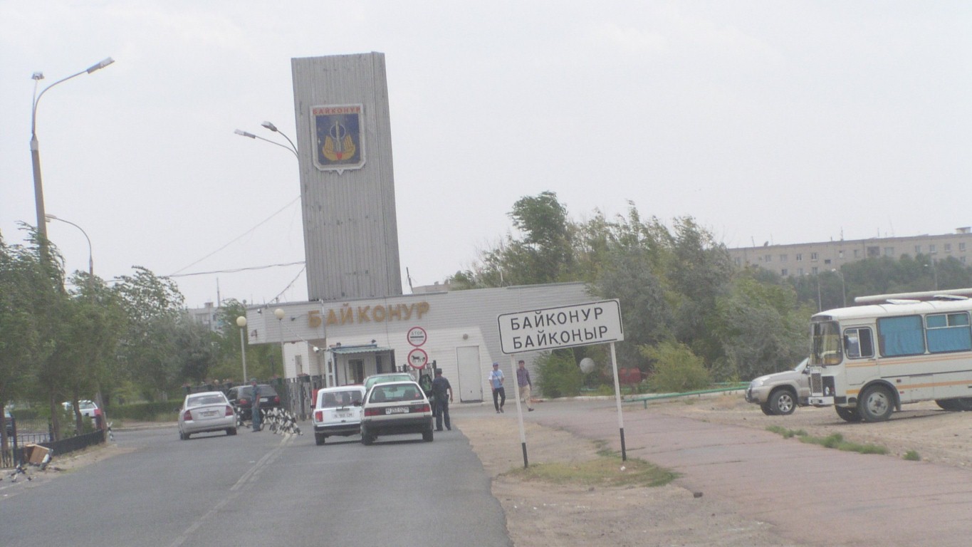
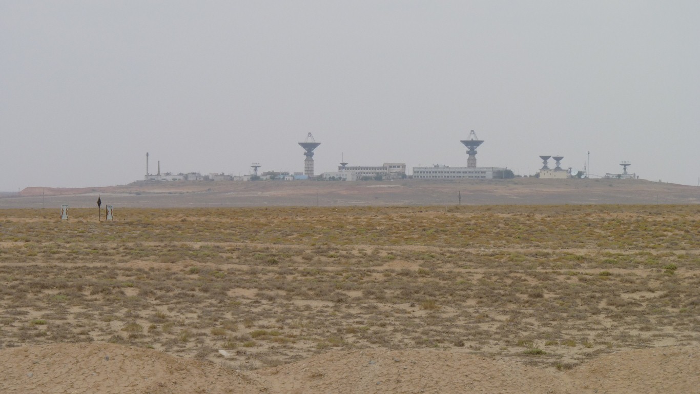
We thought we'd visit the museum in the nearby town of Baikonur.
A very nice policeman explained the error of our ways. All very relaxed and understanding. The wall display of sample permits was very artistic.
Toretam is the adjacent Kazakh town where we found a shop.
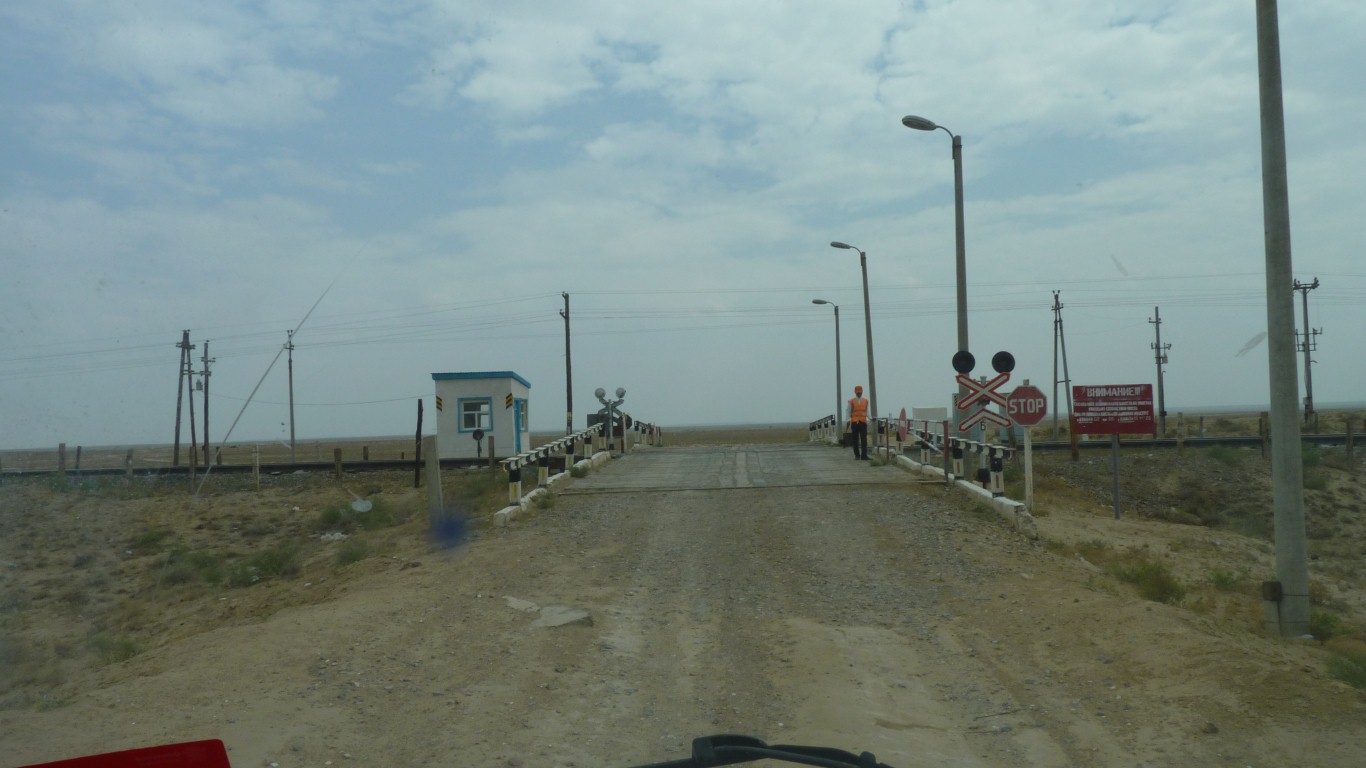
But the rail line follows the river.
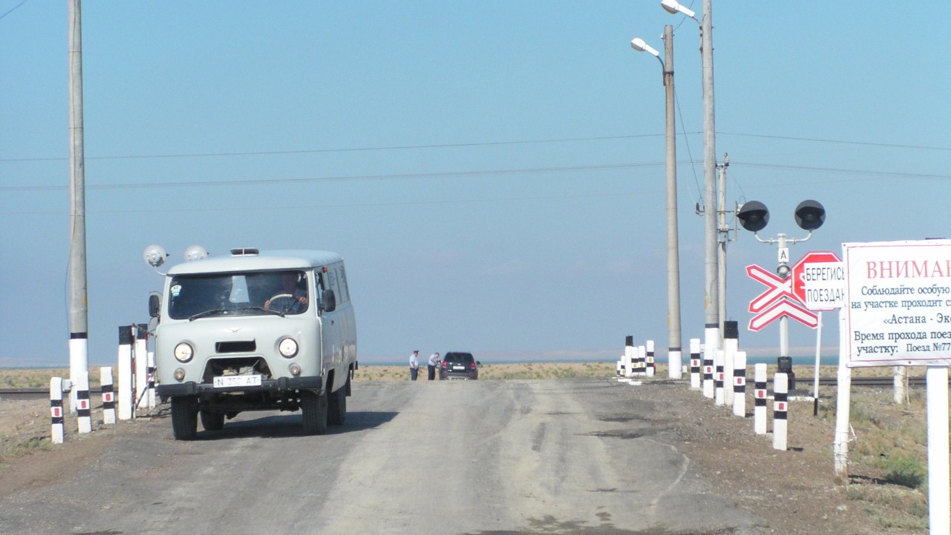
Level crossing keeper in attendance to open the gates for us this time.
It floods once a year. I think when it rains and snows in the mountains.
The other river, the Amu Darya floods twice a year, the second time when the snow and glaciers melt.
But next morning a nice light through the clouds.
Its not one of the world's greatest rivers. We'd never heard of it until a couple of weeks ago.
But its an interesting one.