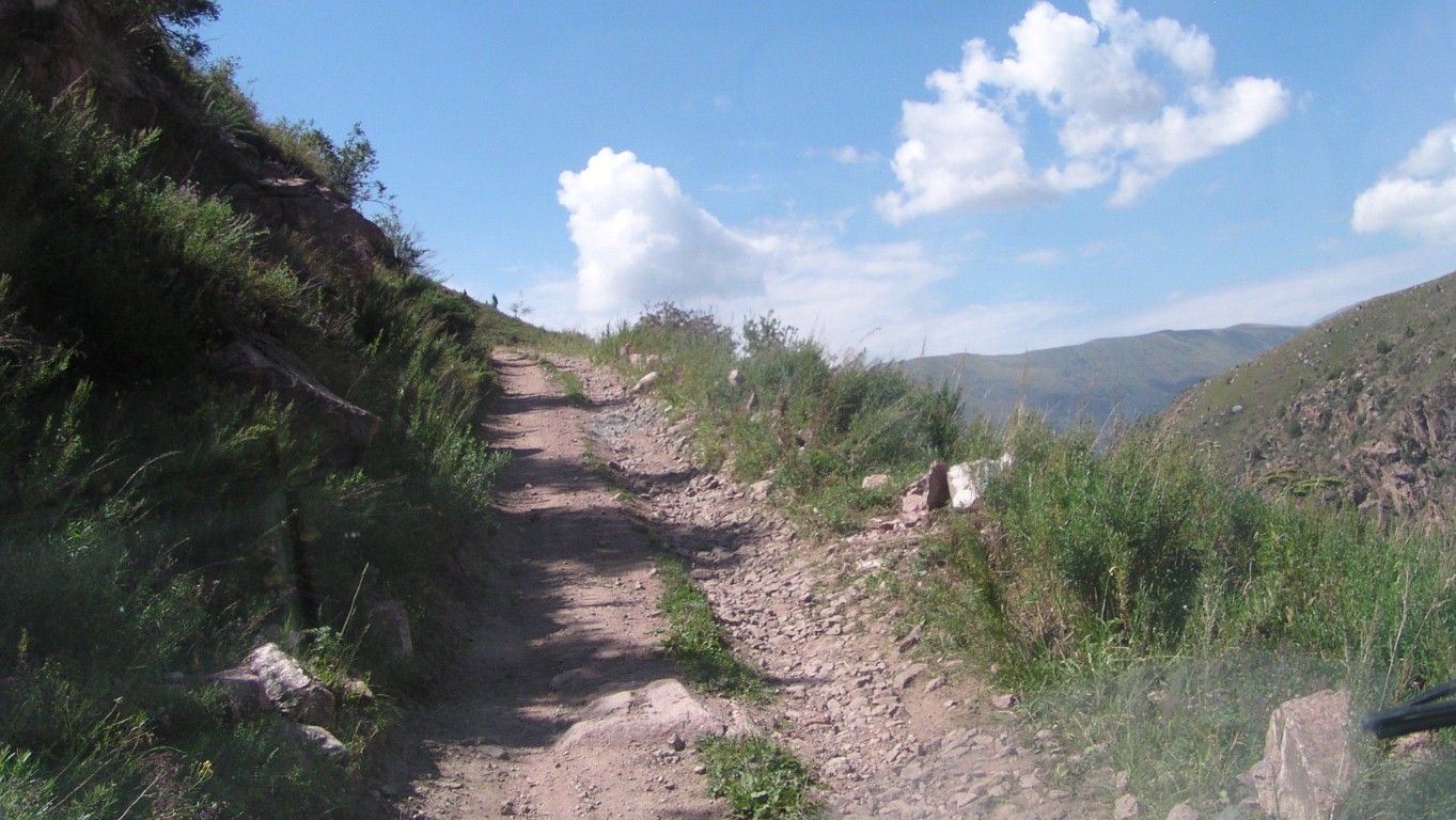
Heading upwards.
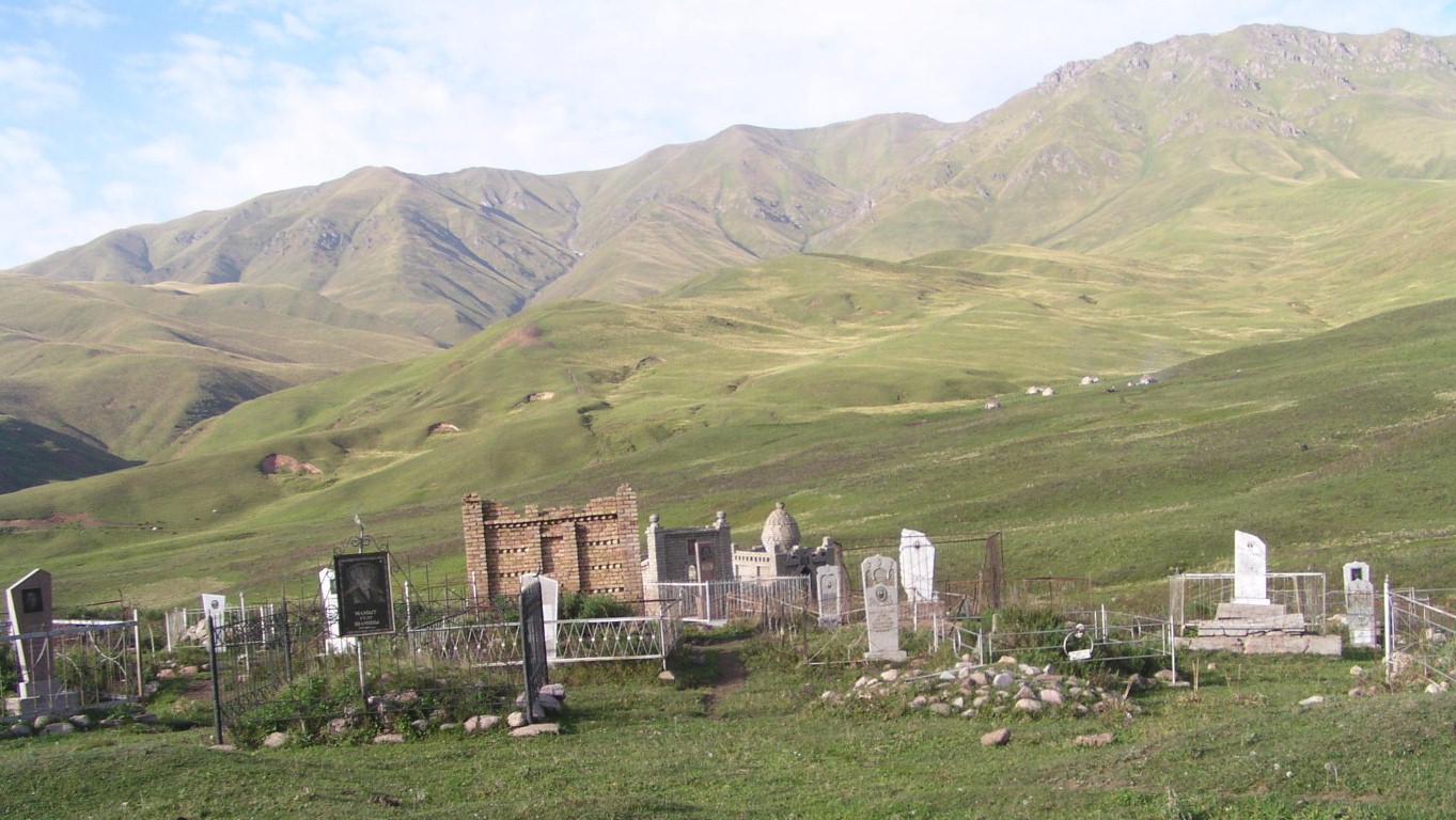
Not quite the elaborate mausolea of Kazakhstan.
And we wonder (as we always do) whether we should be here.
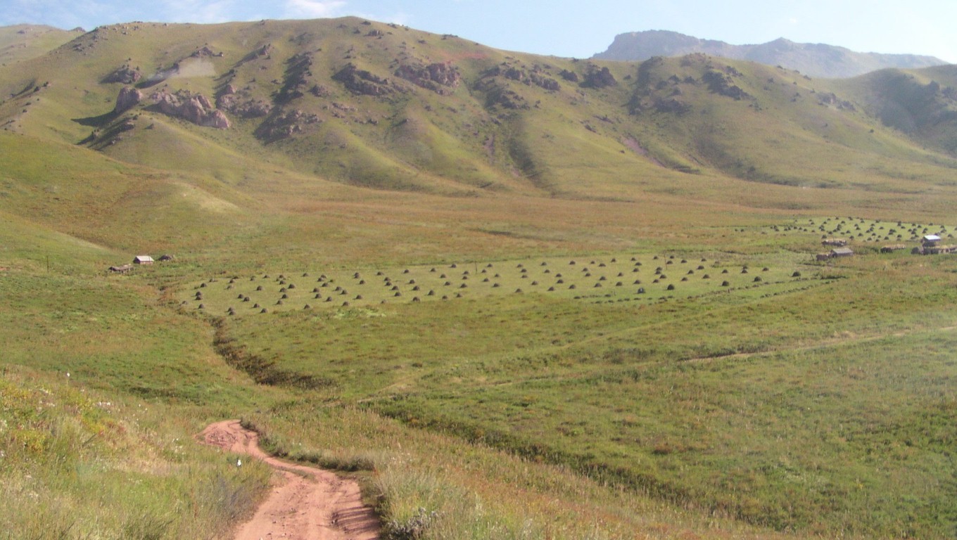
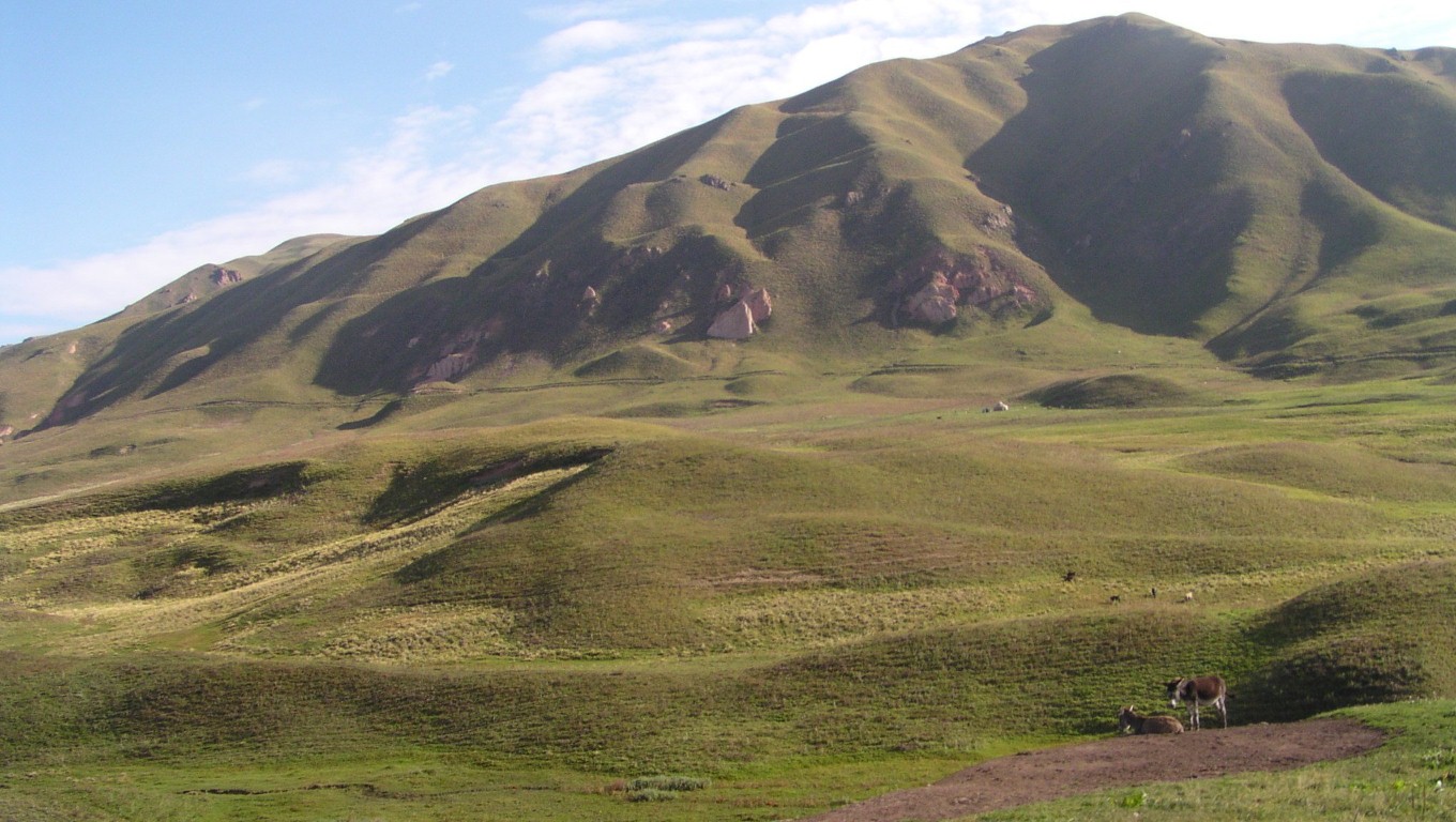
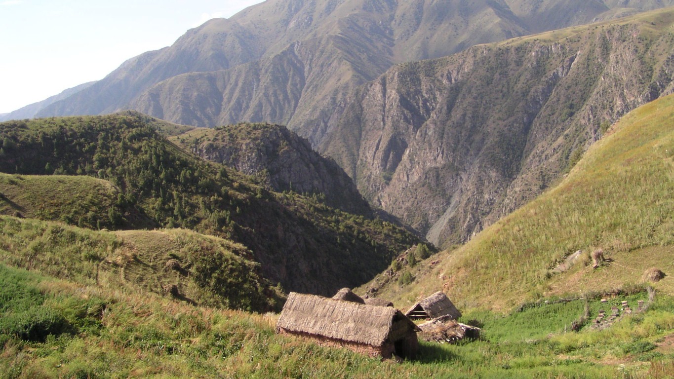
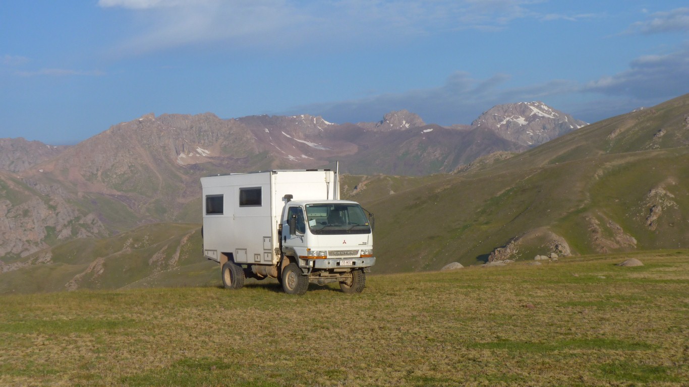
We are at the altitude of hay cutting.
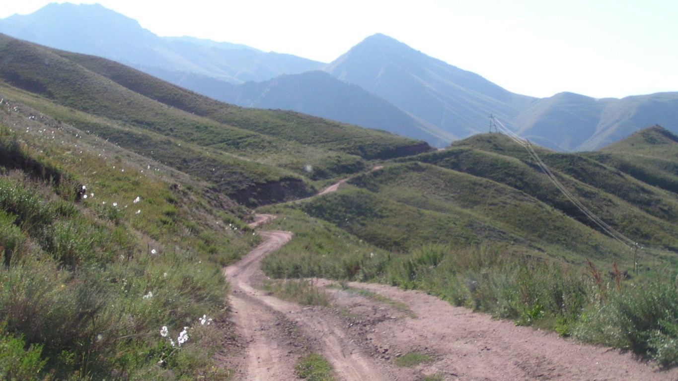
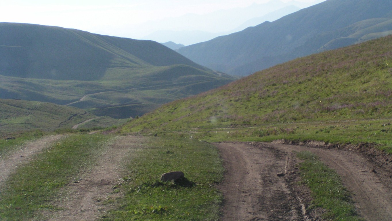
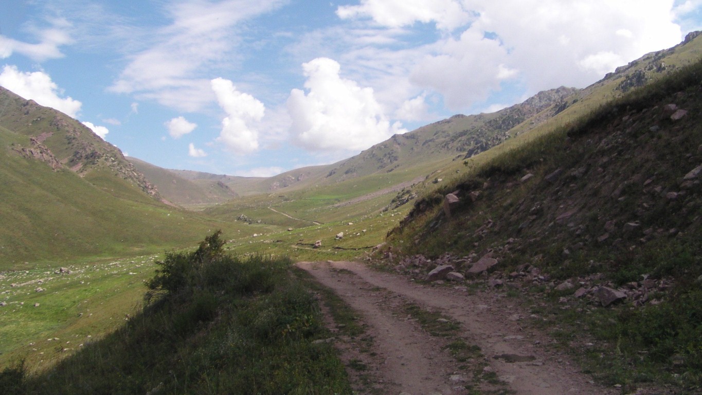
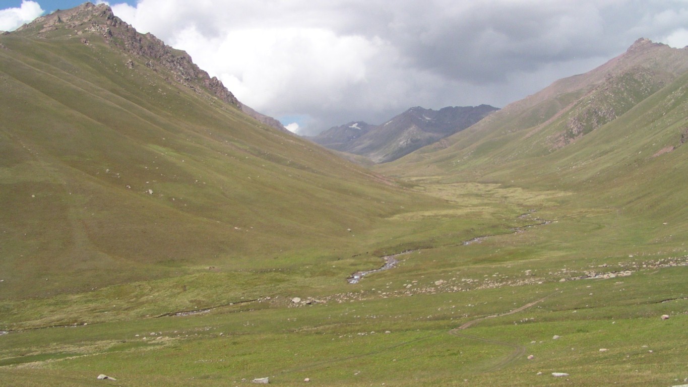
We are on the track that appears on the photo from the left.
We took the track that leaves from the right.
At an angle (up to the right) across the hillside in the middle is the track we should have taken.
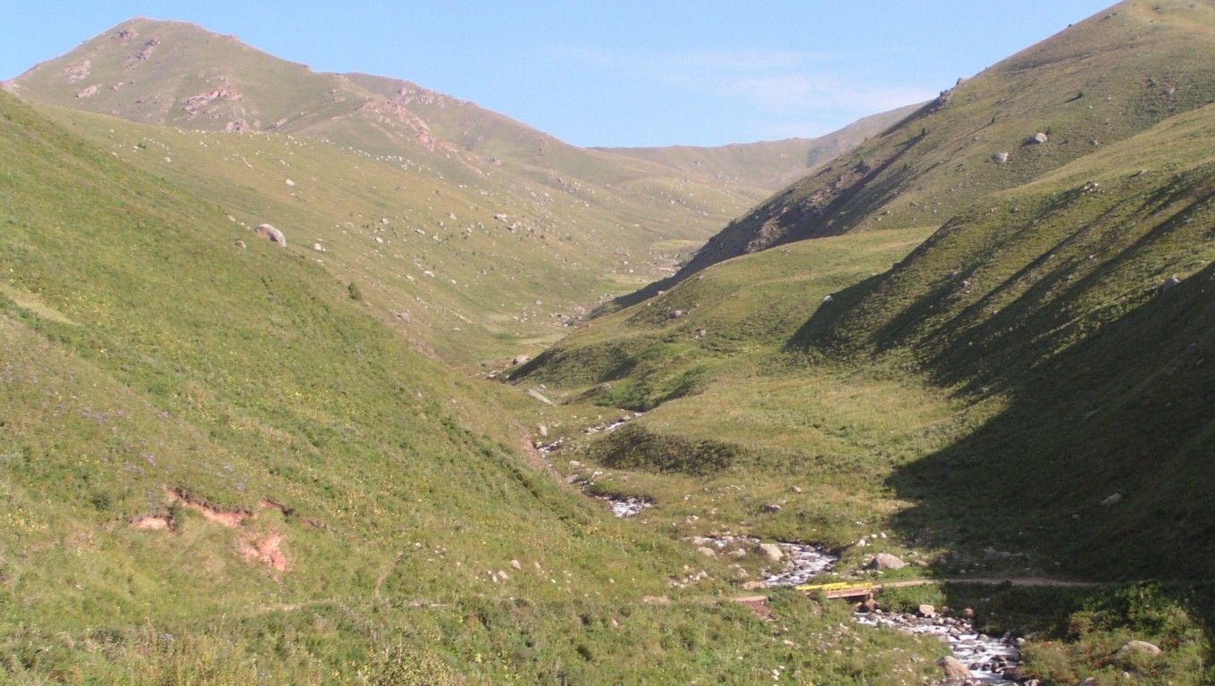
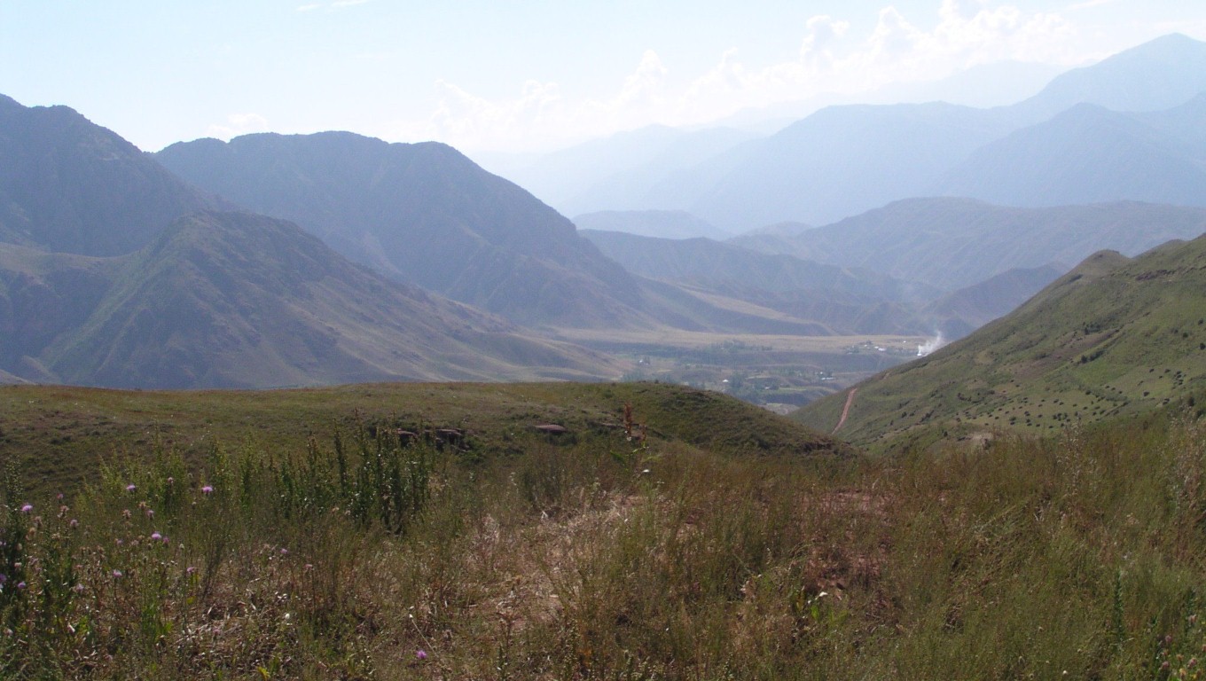
Just before the bridge over the river.
About one and a half hours..
By some kind act of providence we had internet for the first time all day.
We could see on the map and satellite view where the tracks could lead us to the main road but it was much further than our intended route.
It seemed to follow a narrower, rockier, valley.
Checking frequently on the map.
This bit reduced us to first gear. Steep and narrow, with a bit of a drop off the side.
As did a few other bits.
Back at herding altitudes.
A stop for a drink of water.
For the day we will have covered about 50 km in 6 hours. Including our 10 km diversion.
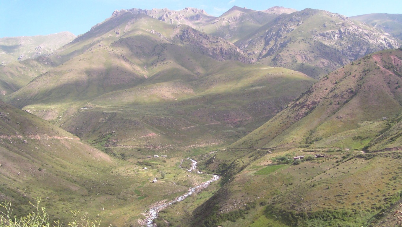
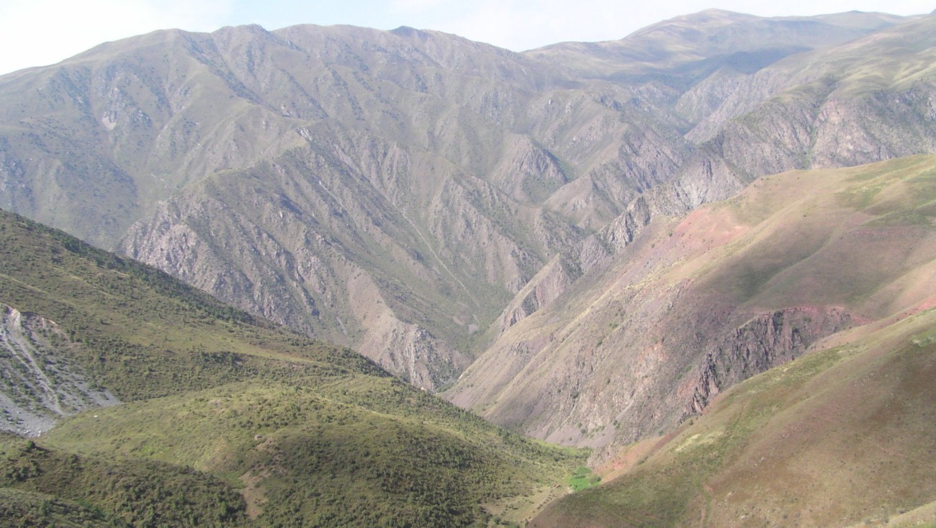
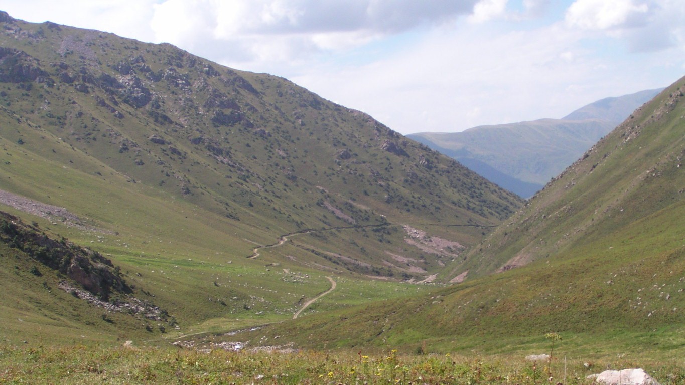
Some of the side valleys are just as wide.
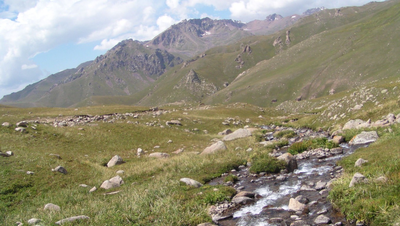
This crossing, near the saddle, had a makeshift bridge, recently maintained, and a bit of water to turn some of it to mud.
Second time we've put it in 4wd. Just being cautious.
About 3215 m. The barometer reads 690 mbar and is falling.
Looking back whence we came.
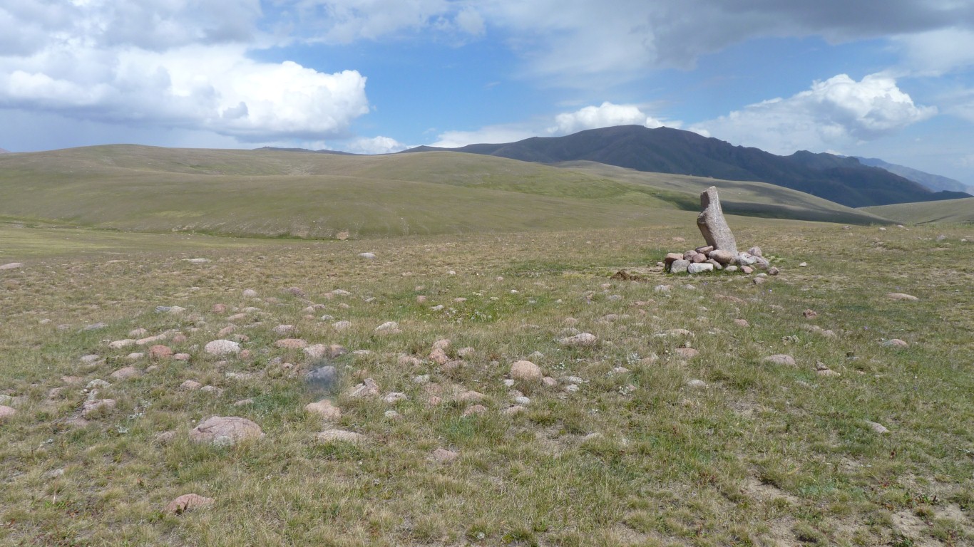
But no. Much more recent. Probably just last century from some of the markings.
There's a few stone circles (one in the foreground) but again, nothing to indicate great age or signs of the ornamentation of kergens.
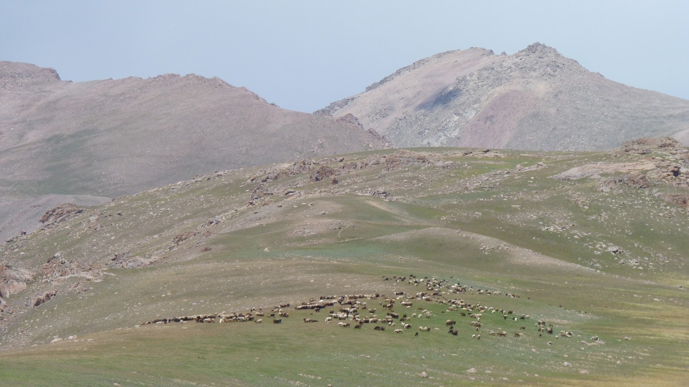
They are everywhere, and we will probably be visited by a herder later.
We are now a different sort of tired.
The pervasive tiredness from a day of excitement, stress and achievement. Even though we've hardly moved.
Aching all over, but in a nice sort of way. Almost as if we'd walked up with a heavy pack. Looking forward to solid sleep.
We are actually traveling right to left, but drove on a few hundred metres to see what was there before returning to camp.
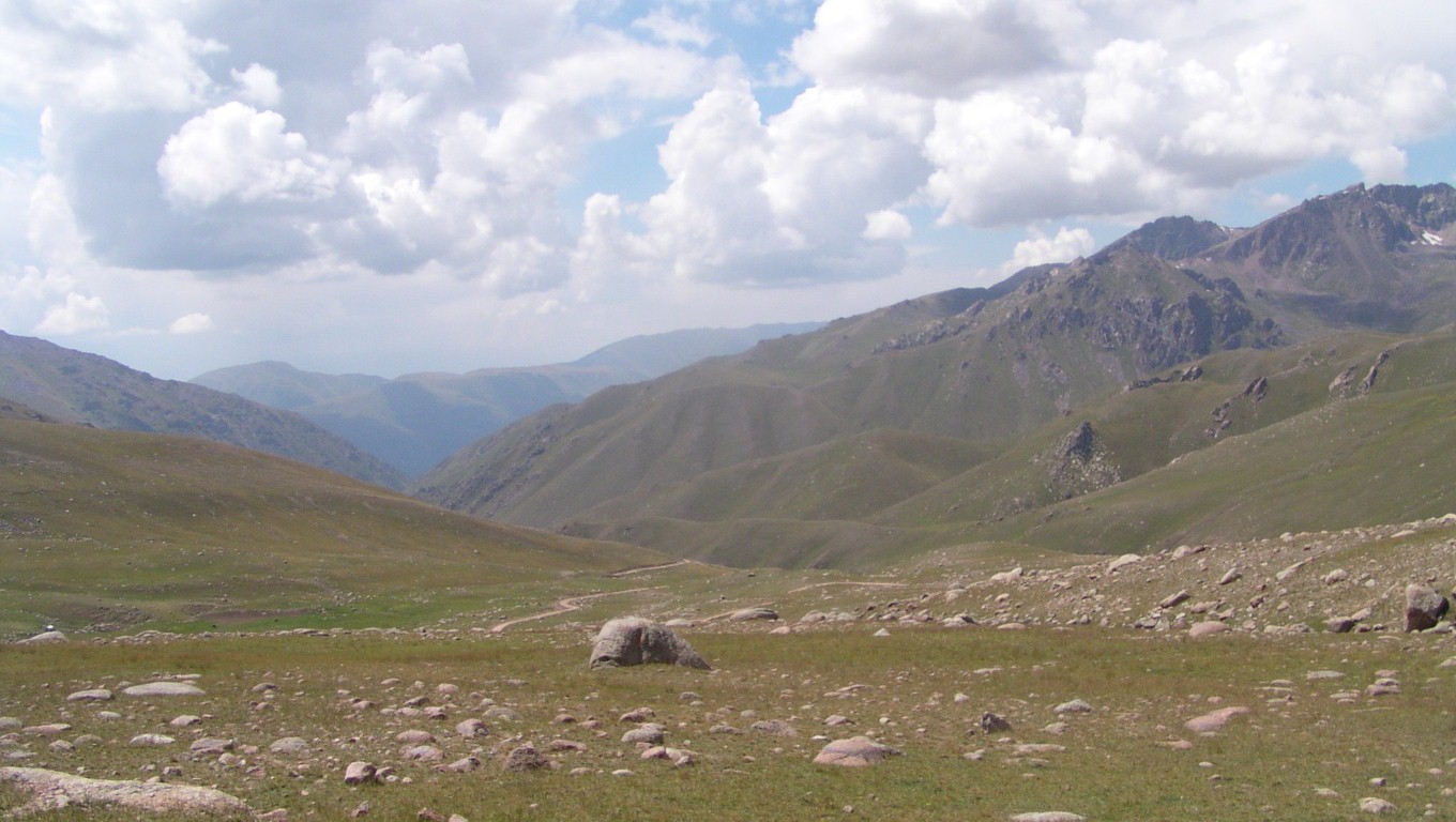
Somewhere off the road to the right.
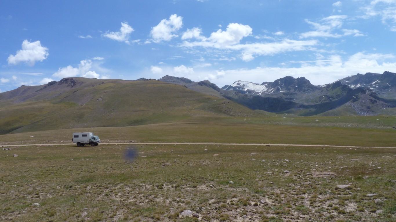
At 3,215m (10,550') we are between an unnamed peak of 4,069m (13,350') about 5km to our north, and another of 3,978m (13,050') about 10km to our south east. Looks like pasture and lesser peaks either way.
The Tian Shan mountains are in roughly east west ridges. We are in the Suusamyr Too.
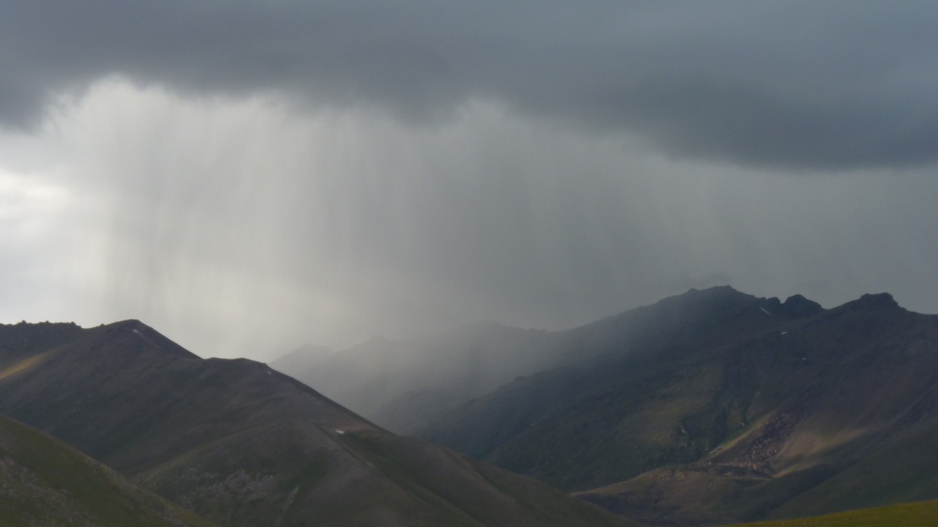
A bit of wondering if the rain was a light passing shower or signs of something worse.
If this were New Zealand we would be worried about a change and rising rivers.
The showers passed with a whimper and we decided to stay.
We've now read that the tracks were infrastructure developed in the Soviet era as part of collective sheep rearing for wool. There is limited money to maintain them but we have seen signs of some maintenance.
The roads allowed feed concentrate to be brought in from Russia to overcome the limits of pasture.
Sheep numbers have fallen dramatically since Soviet times ended in 1991. Hence we've seen a mixture of overgrown but eroded due to previous over grazing, the currently heavily grazed accessible land, and wild pasture partially harvested for hay.
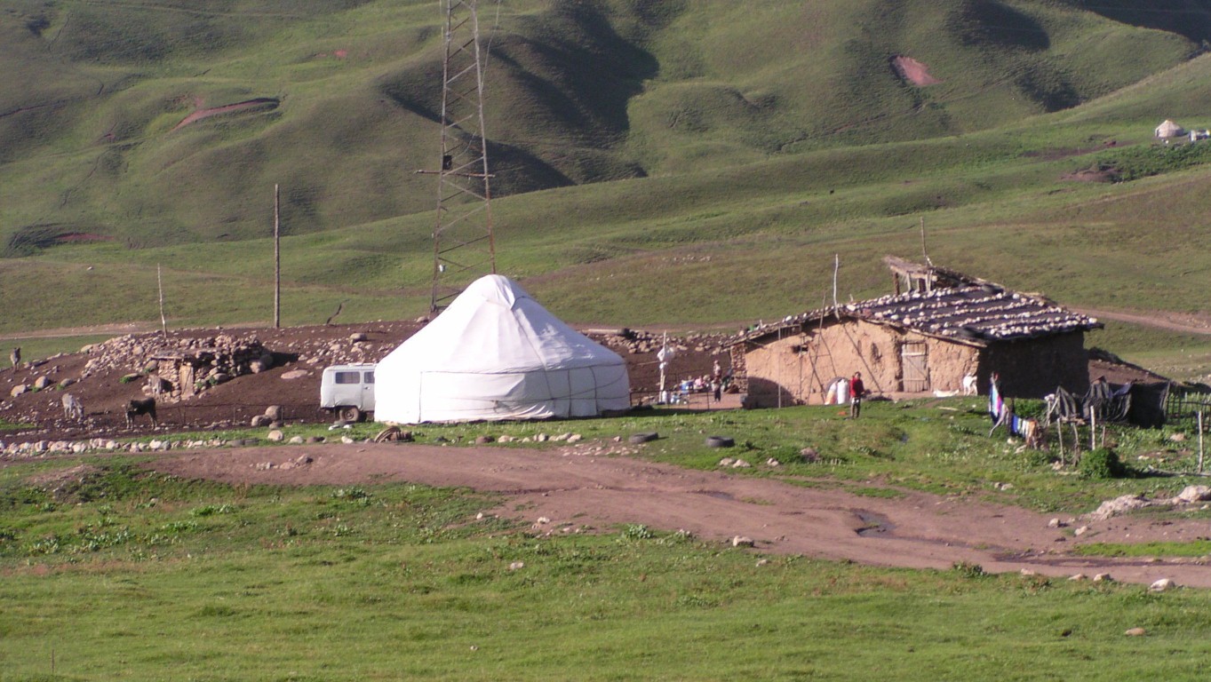
We've also seen the change from sheep to horse and cattle. And a reversion from mechanised to possibly subsisdence farming.
We suspect some of the large flocks of sheep are part of a recent change from the small family flocks that resulted from the end of collectives and a general decline in wool prices.
There's possibly been a shift from part Merino back to fat rump and fat tail sheep, for meat.
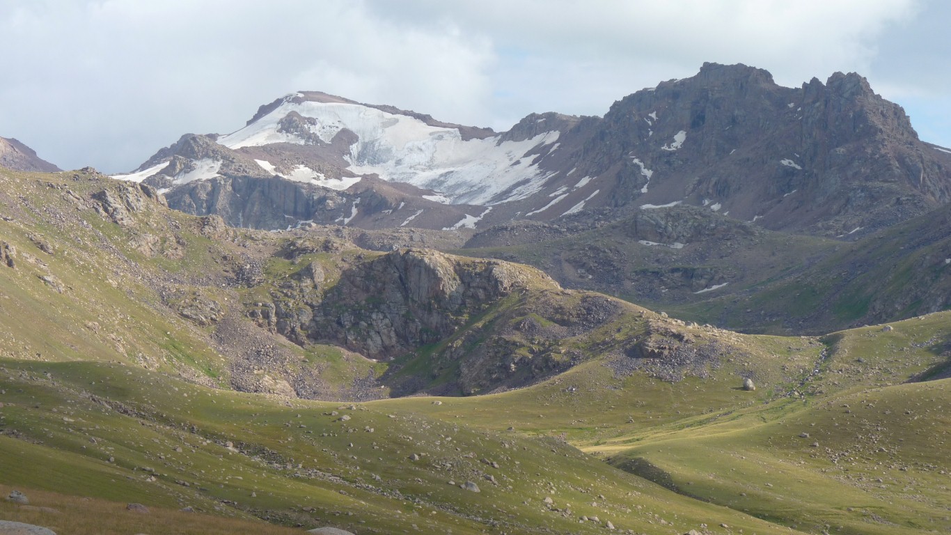
Waking up to this is one of them.
Along with a slight sense of relief that it didn't rain enough to effect our already slow progress.
Our glass is more than half full, despite the aches and pains and general tiredness.
We are hopeful we'll reach Song-Kol today. Only two days longer than the one day we'd anticipated! But we're far from complaining.