And time for lunch!
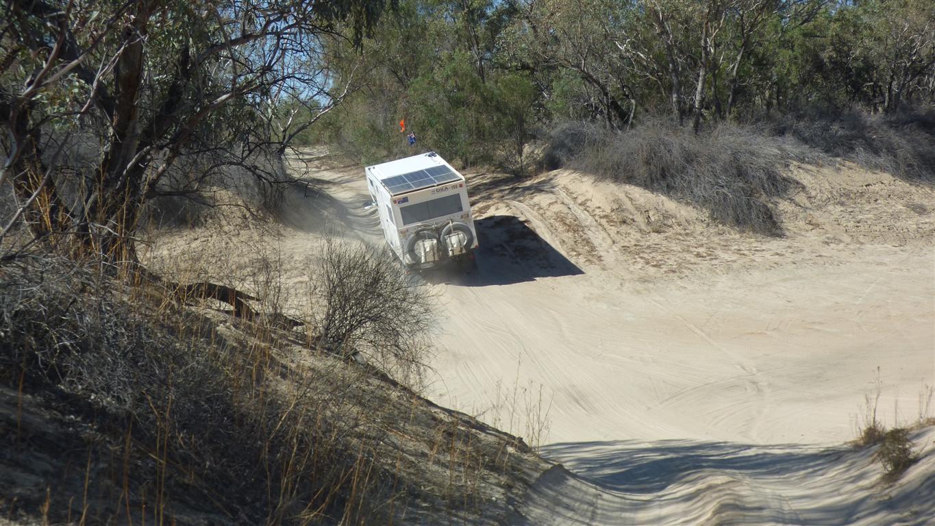
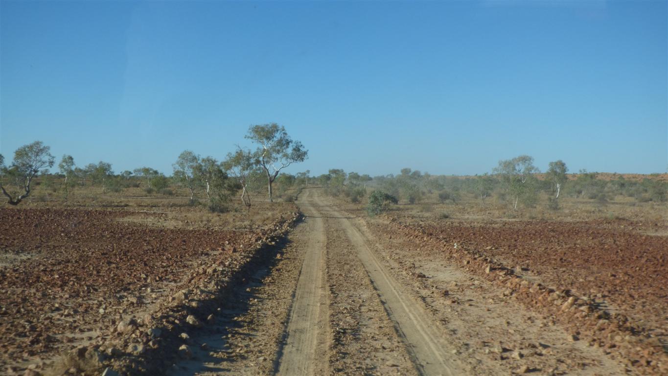
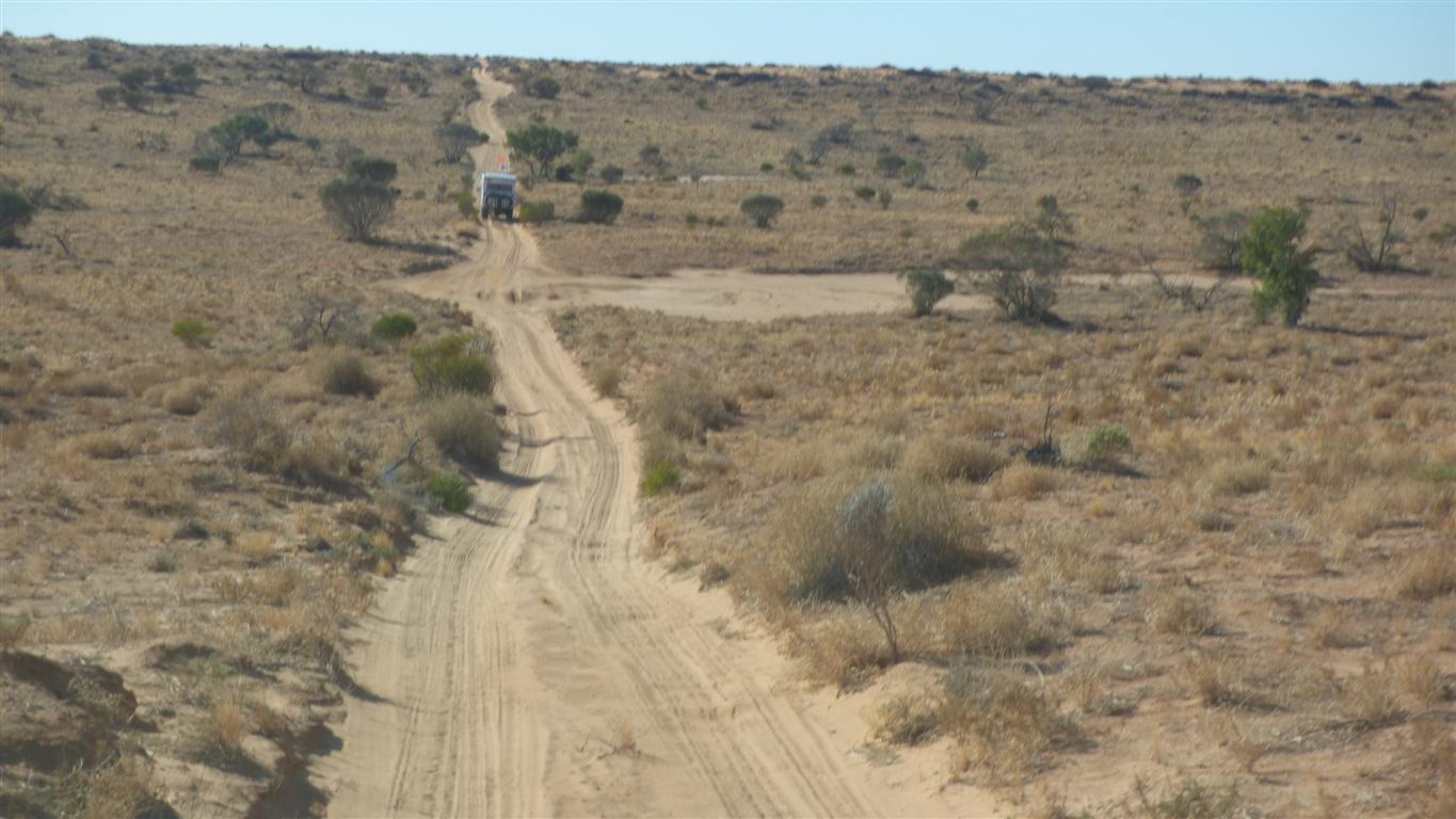
Surprising the difference a few days and different vehicles makes to the track.
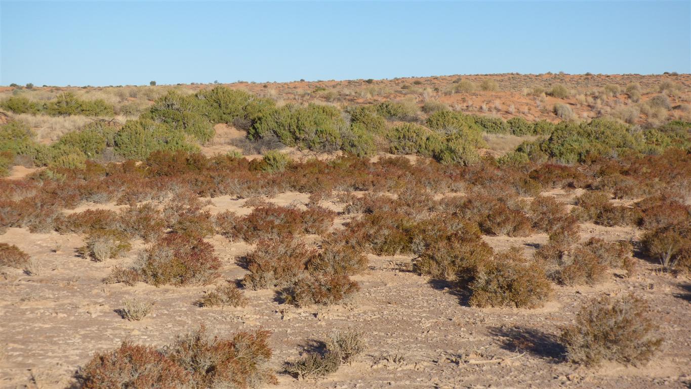
The scallops are not as vicious nor as extensive.
We have noticed tyre tracks are mostly visible.
Previously loose soft sand where wheels had spun were the norm.
More to the feeling than simply having driven this section previously.
Peter had an infra red pyrometer.
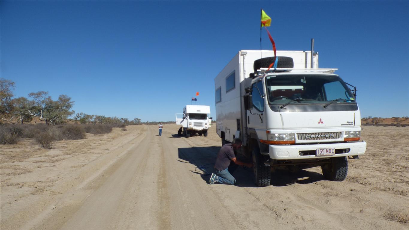
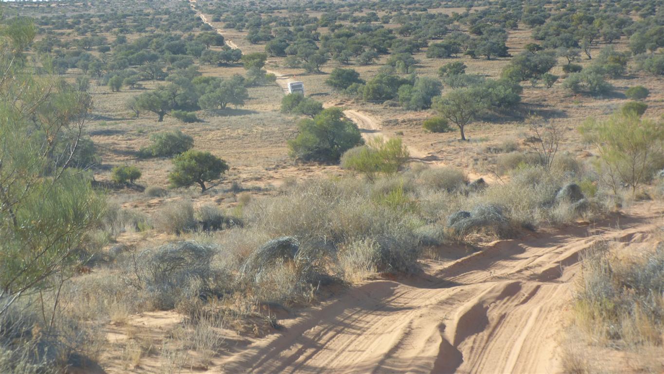
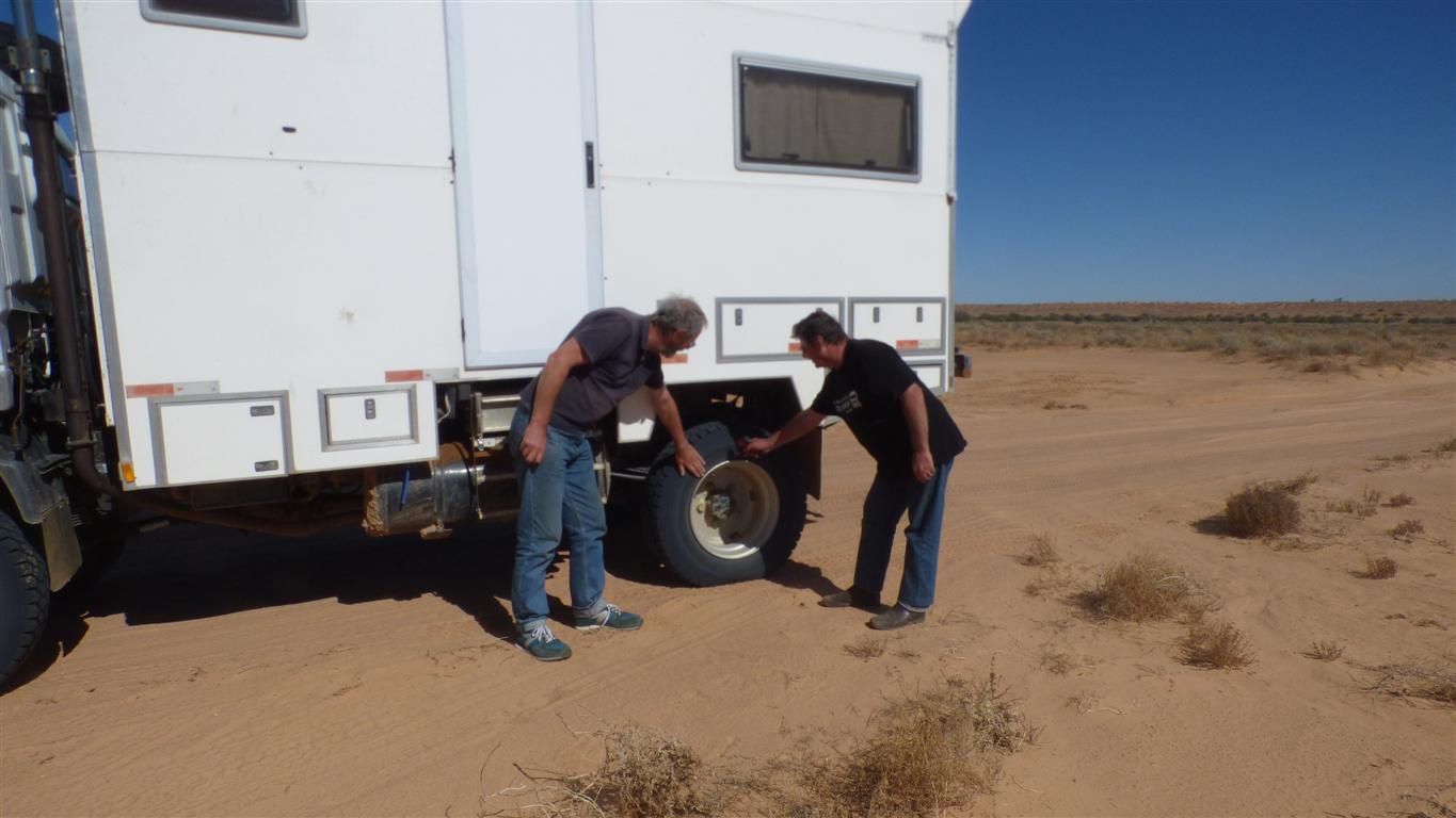
Travel is faster so we need higher pressuress in tyres.
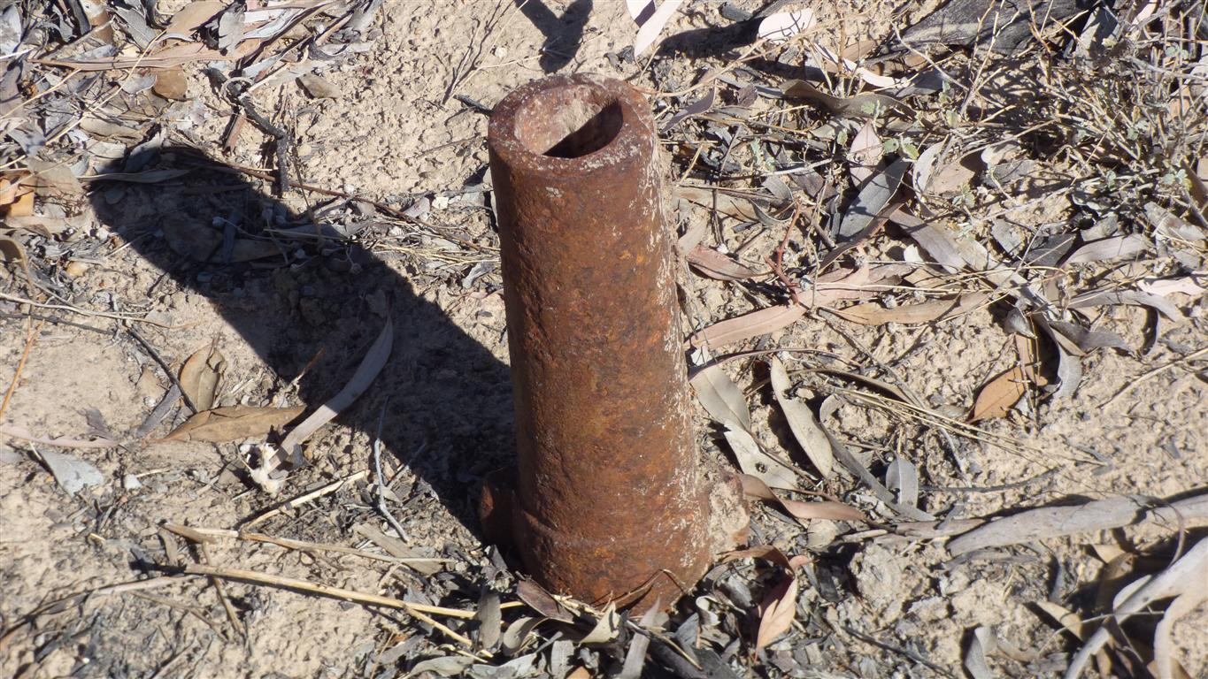
First time we've seen it.
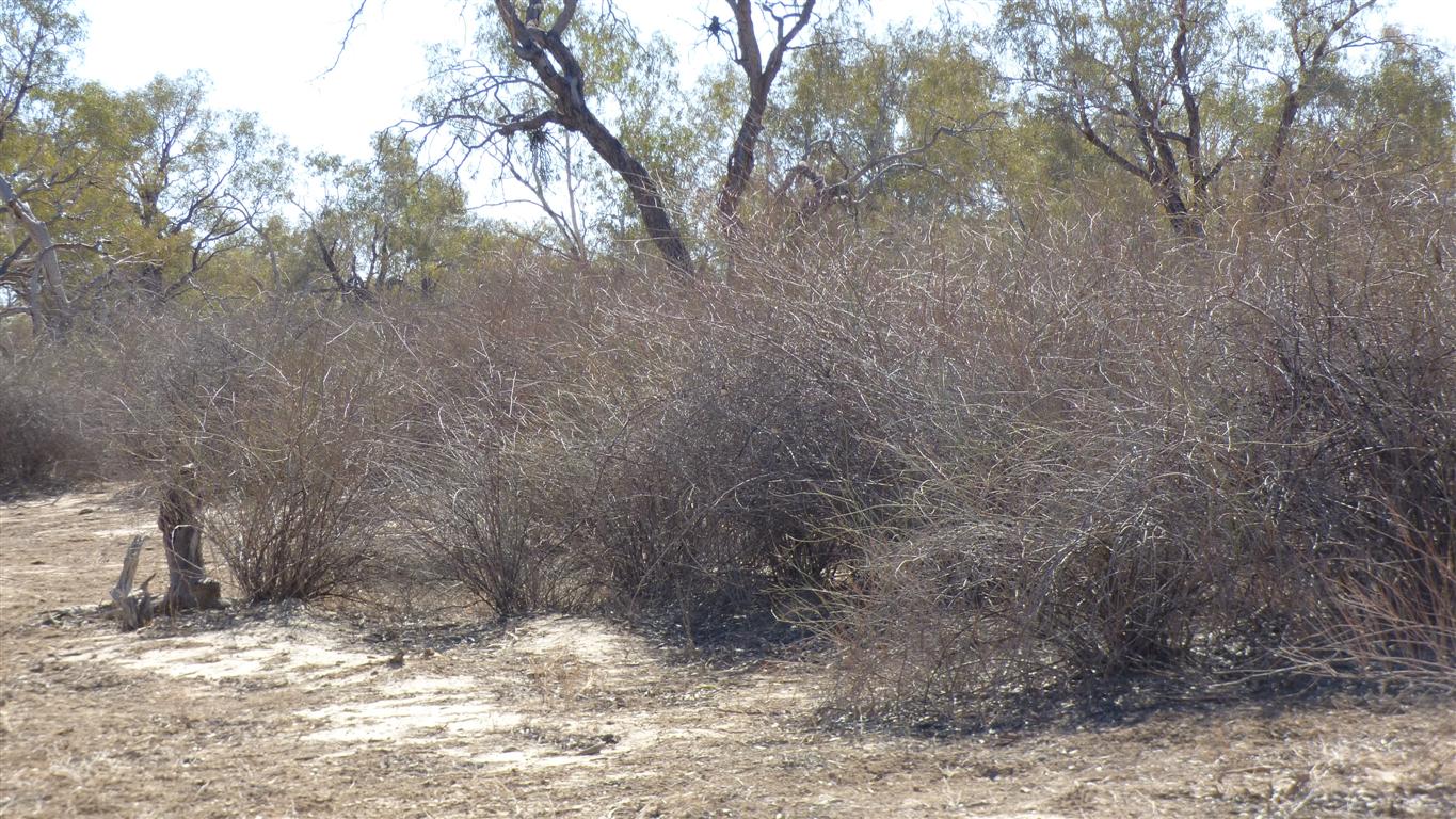
It goes with the flood out, can form "lignum swamps" and grow high.
Can form an impenetrable wall.
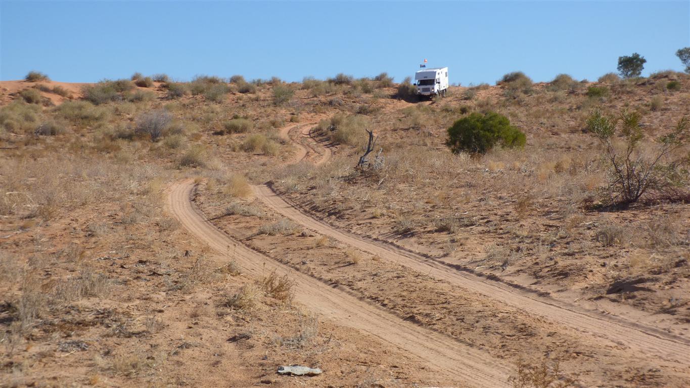
Tyre pressures a bit high, had to let a bit out to maintain traction.
Life is just one big compromise.
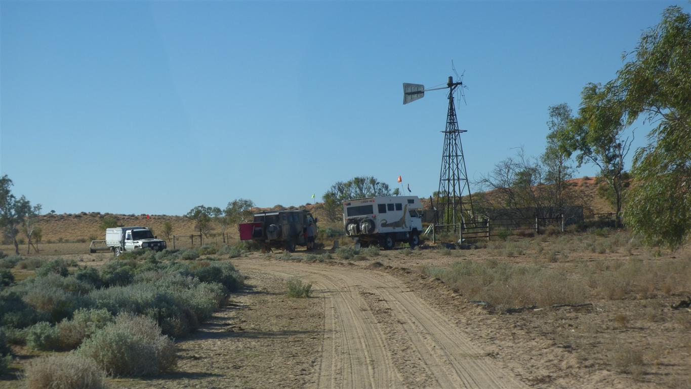
The windmill has been replaced with a solar powered pump.
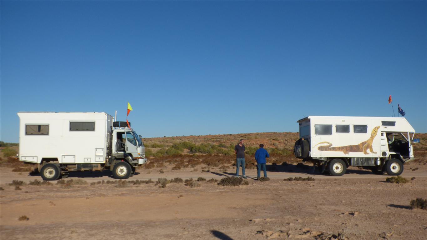
We have met up with the two more Peters and Sandra again for this bit..
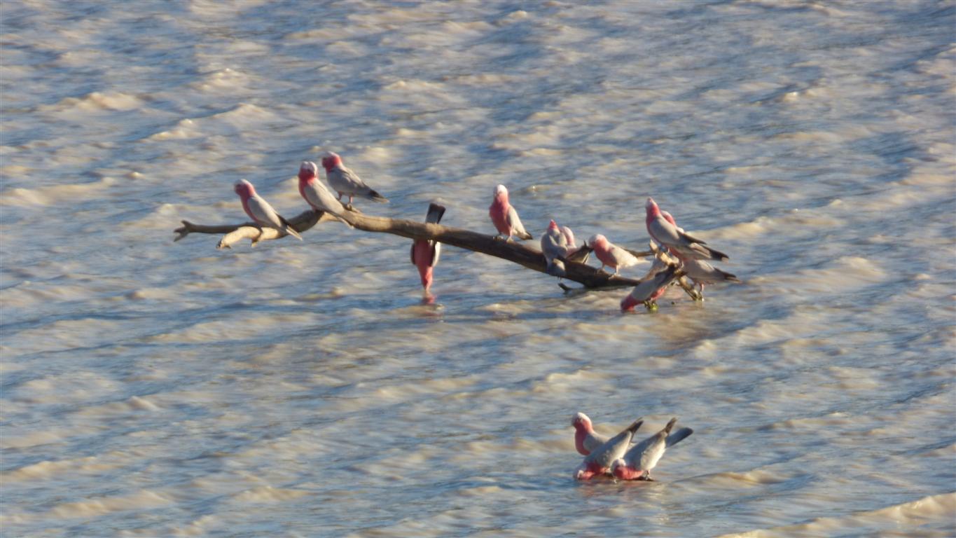
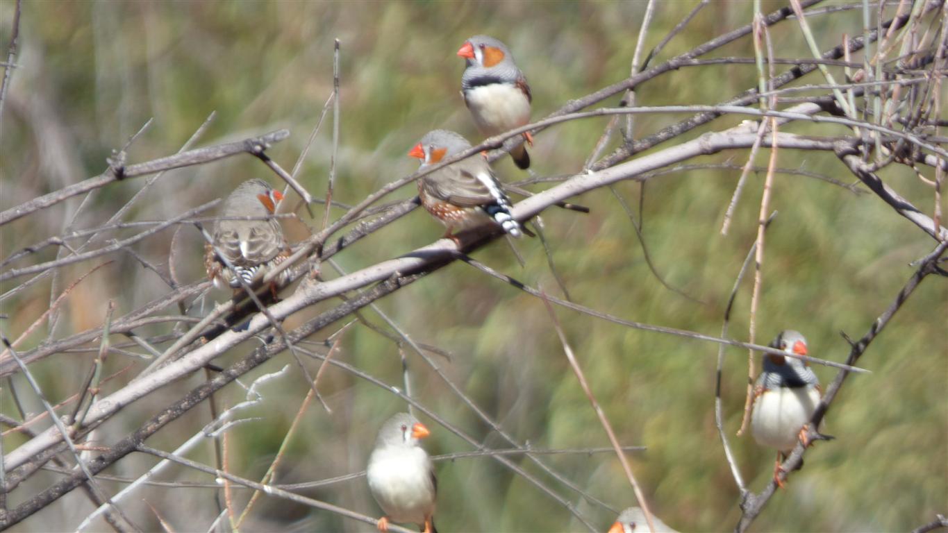
Galahs here for their evening drink.
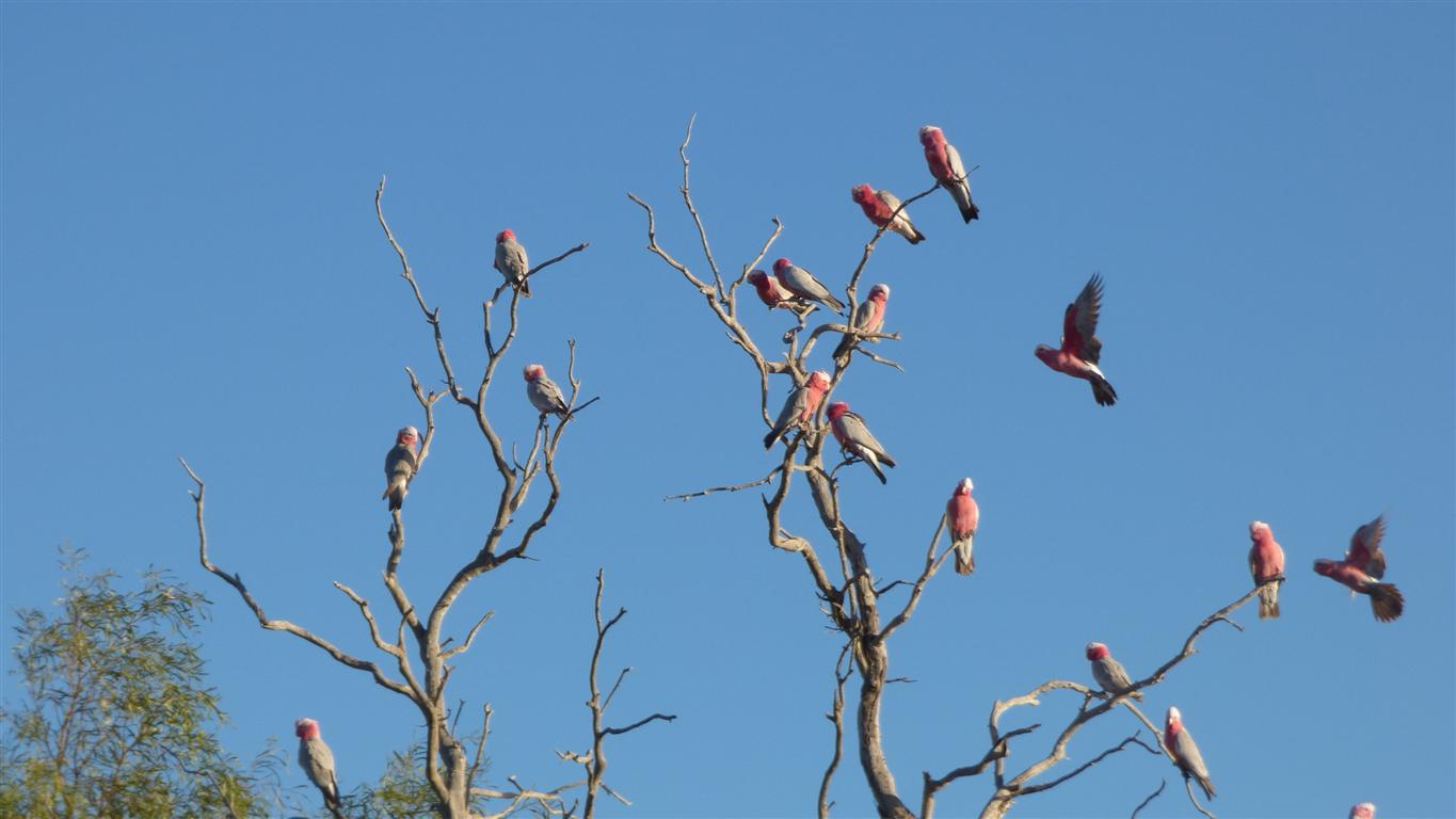
Some wait in the tree until there is space on the branch in the water for them to push into.
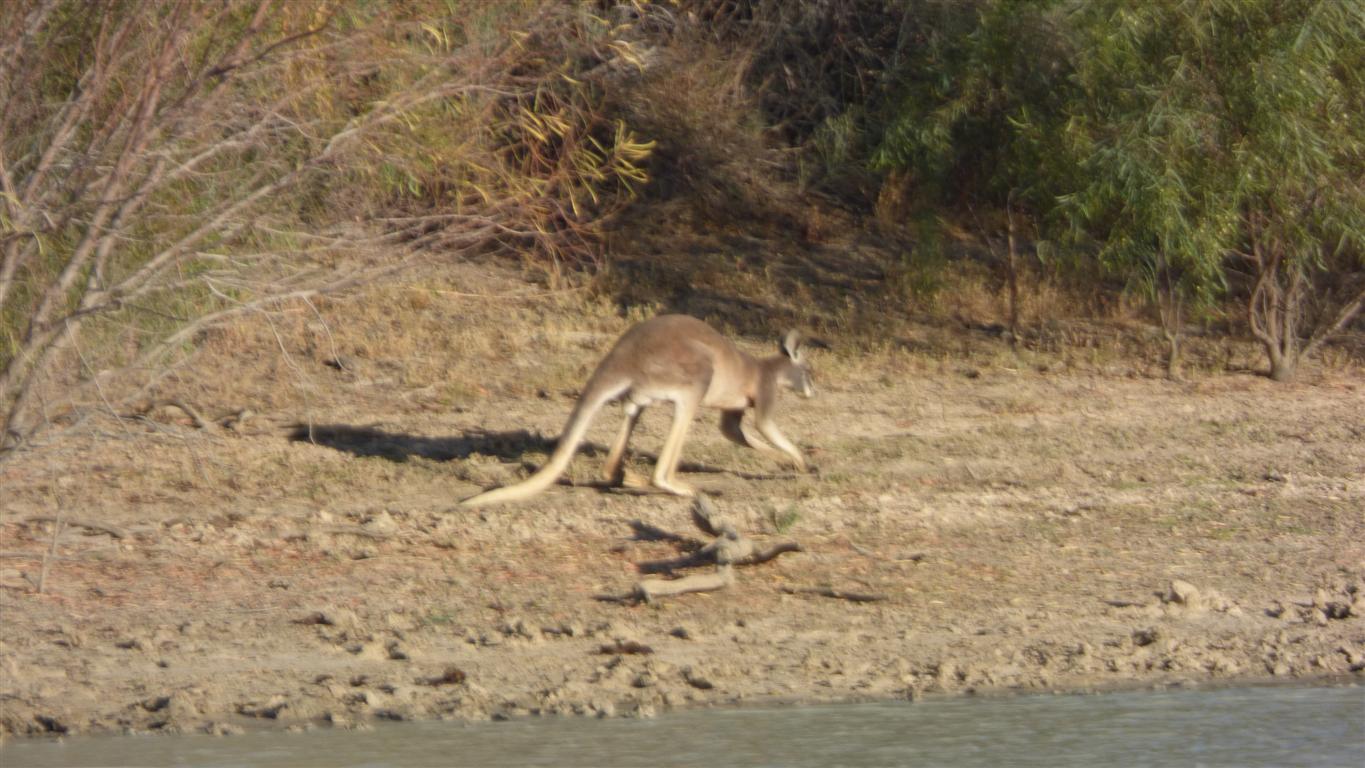
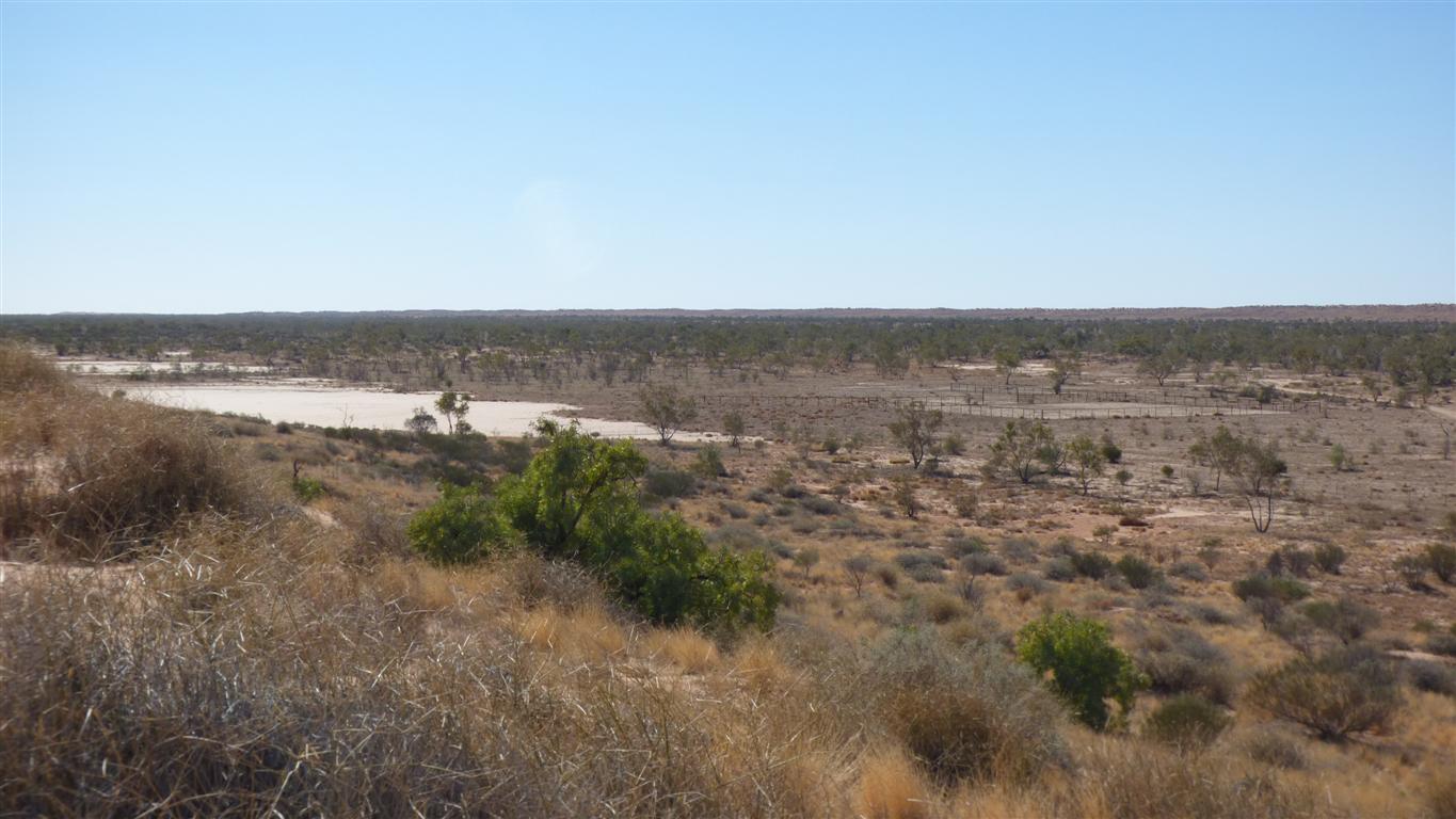
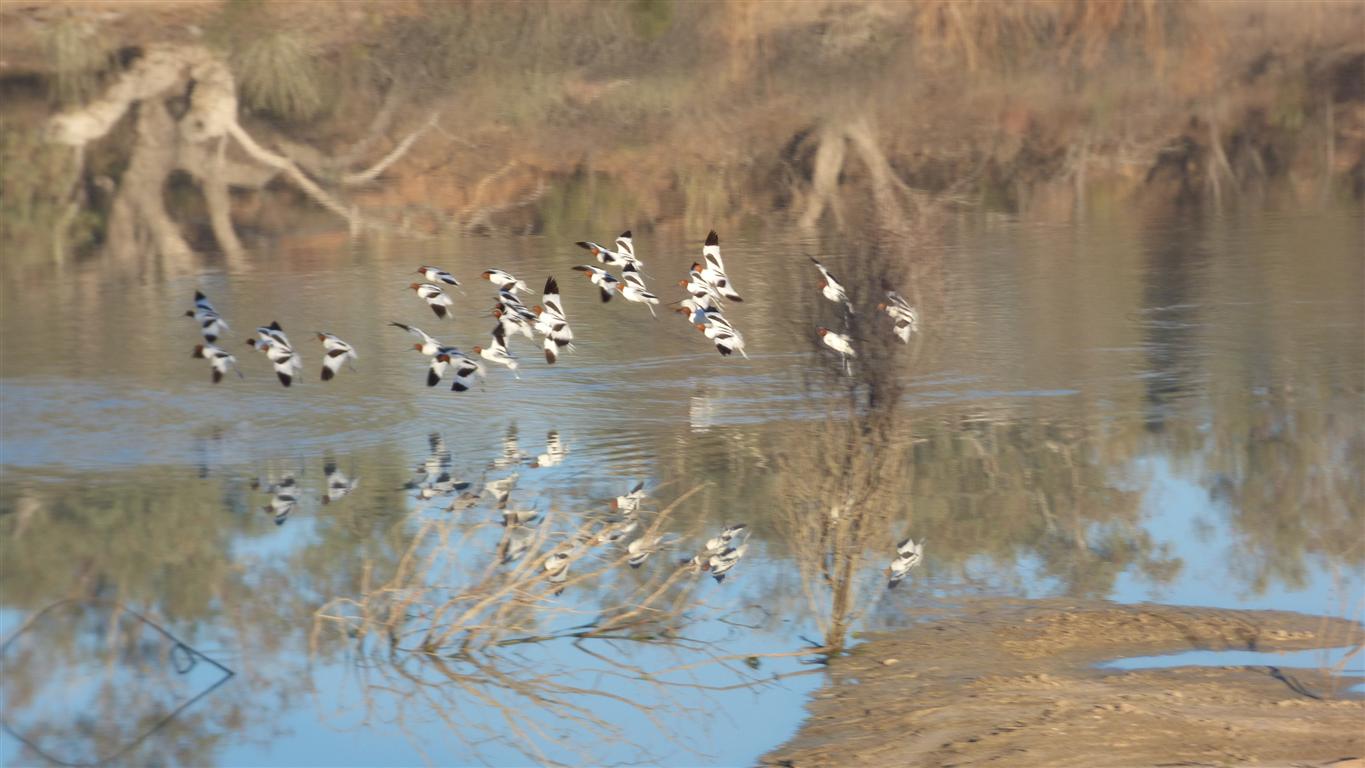
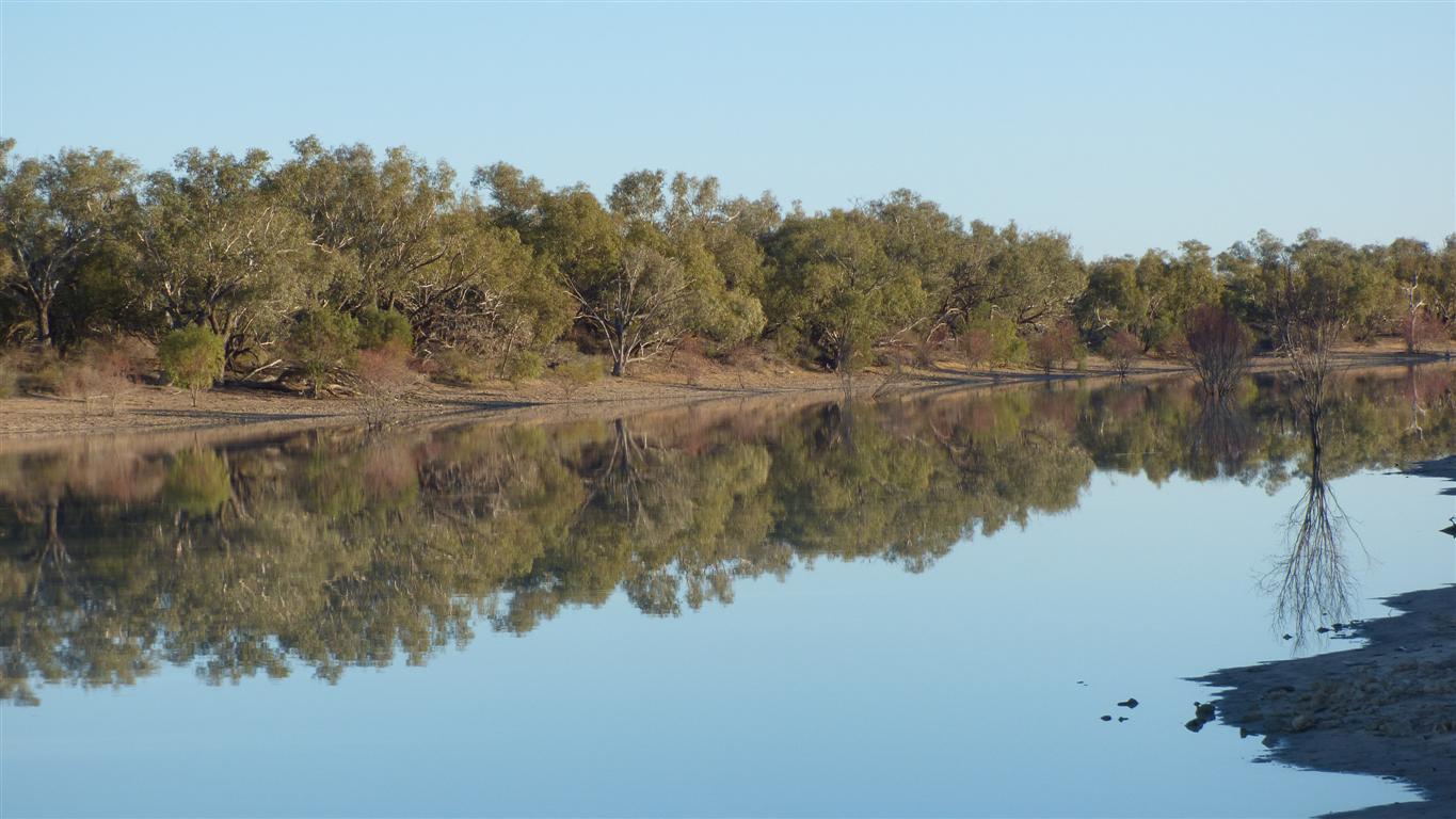
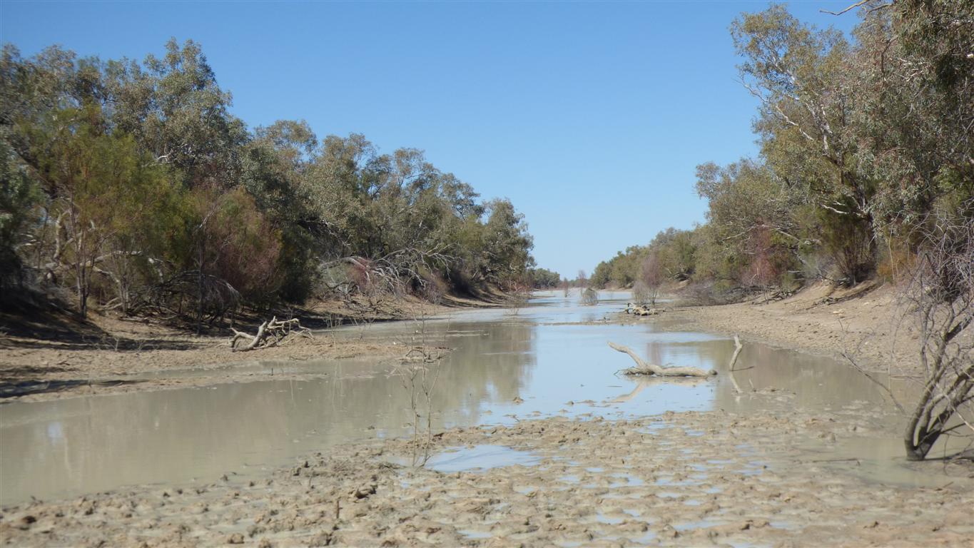
This is still arid land, but permanent water, as at Eringa, makes a big difference.
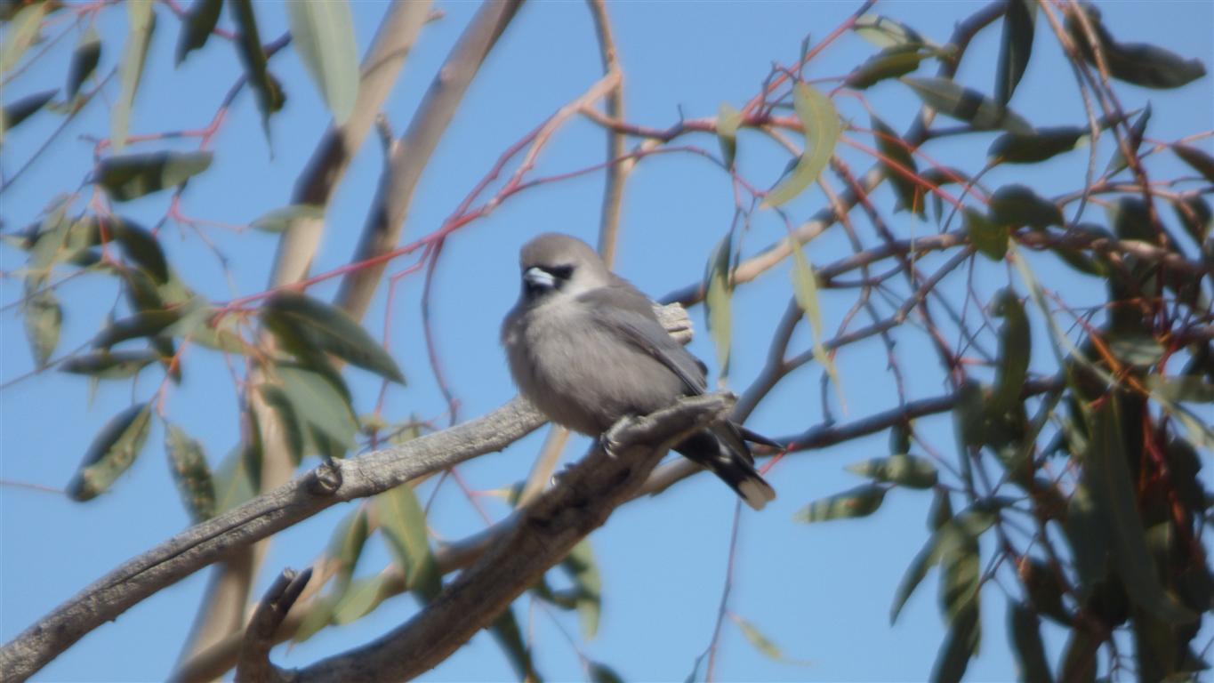
Still no sign of a masked wood swallow.
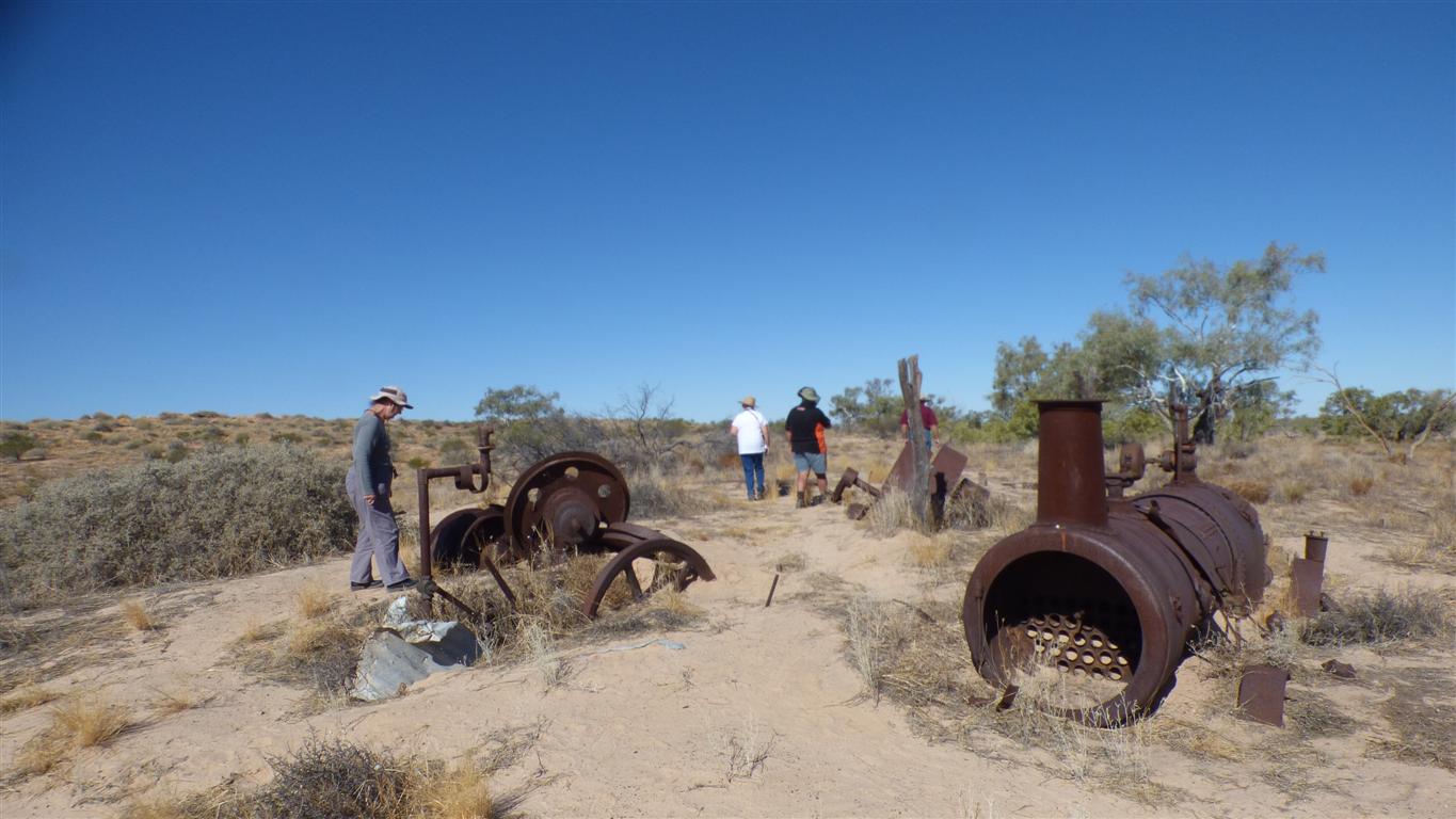
We try to imagine the effort required to get it here with horses.
And the effort to feed it with wood.
There's a plough (single furrow) nearby.
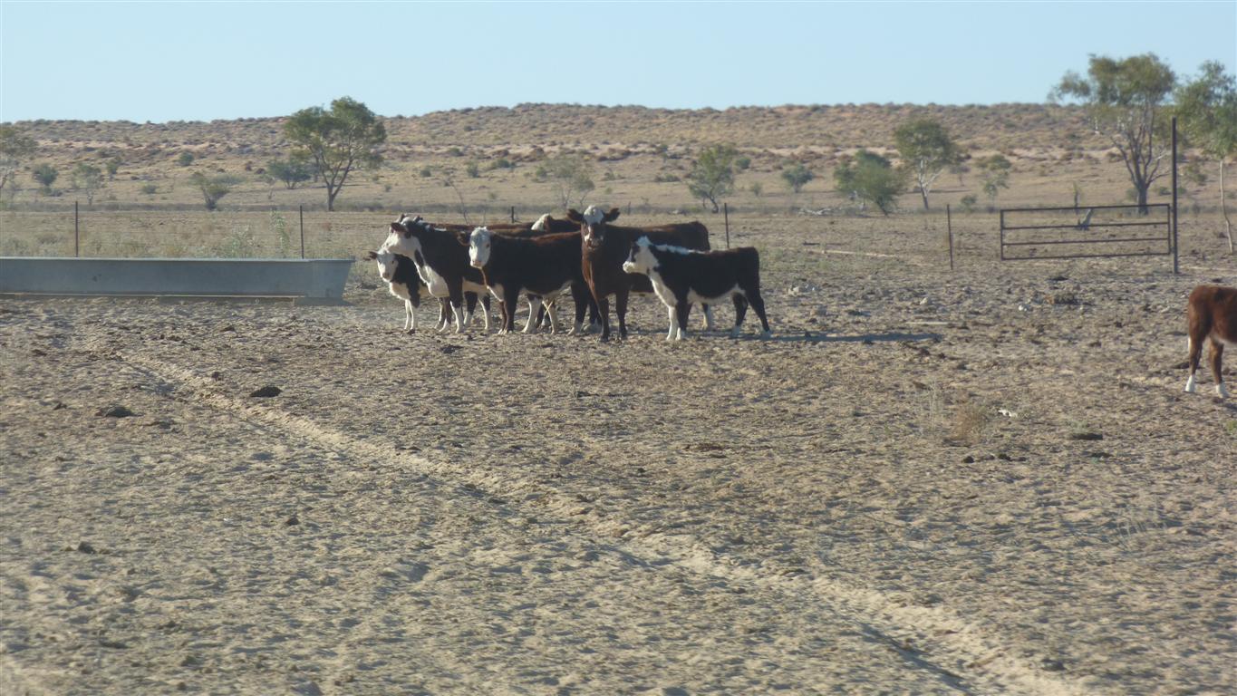
Bores for water make this area farmable.
We debate how far cattle or sheep will roam away from water and thus how far apart bores may be.
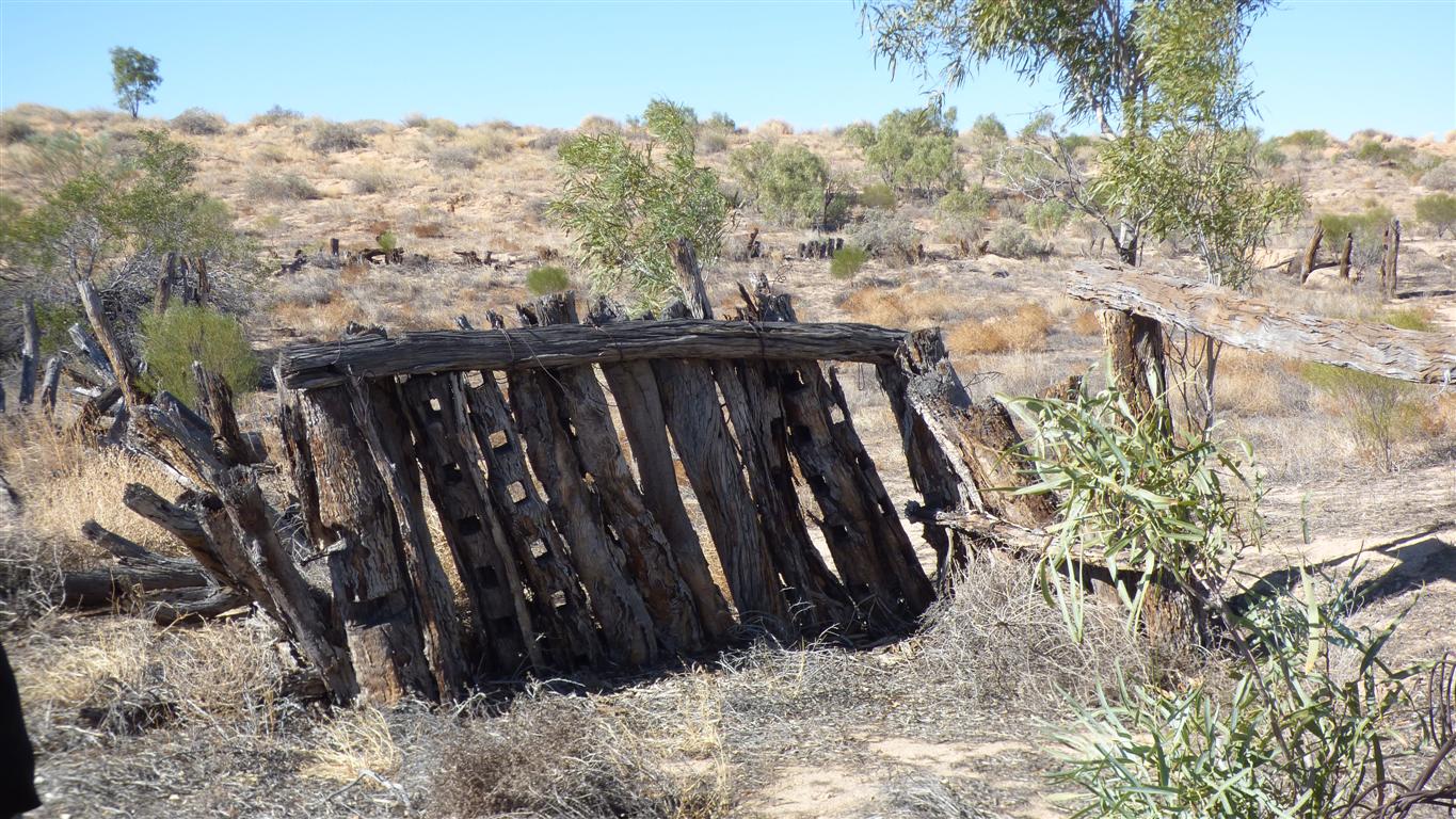
More ruins of sheep station.
Possibly also to keep horses. The fence is high.
All vertical wood, few cross pieces.
Of steel.
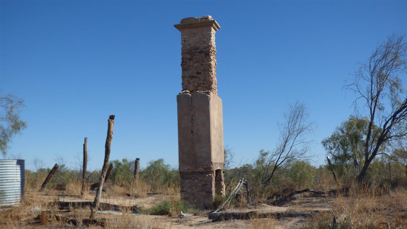
Time for ornamentation at chimney top.
A substantial homestead.
Taking off from their favourite spot after I disturbed them.
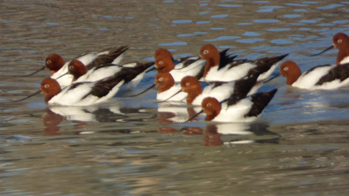
We haven't figured out what they do with their beaks.
We know there are mussels in the water.
Its a bit more than 3km long according to our map.
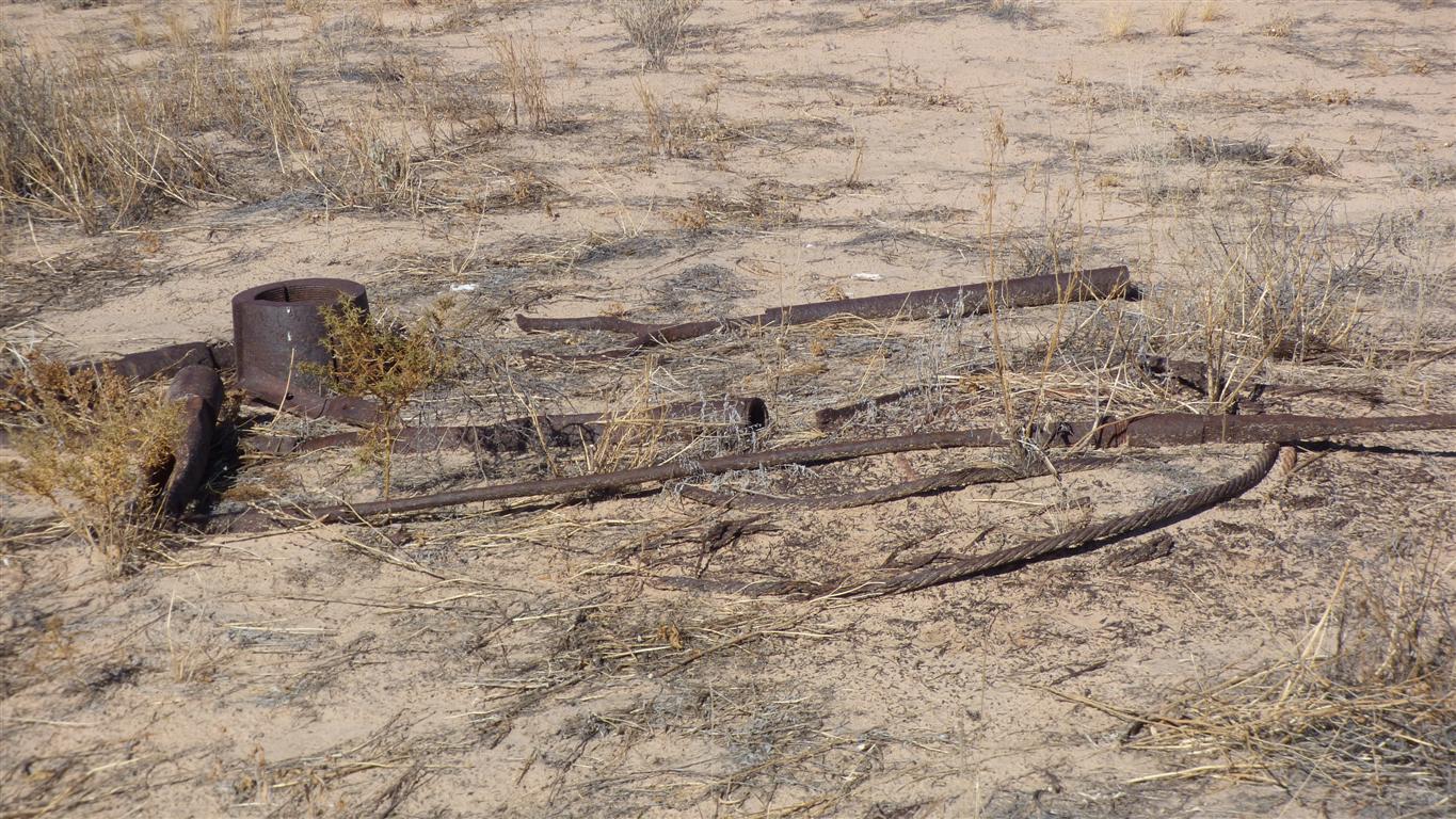
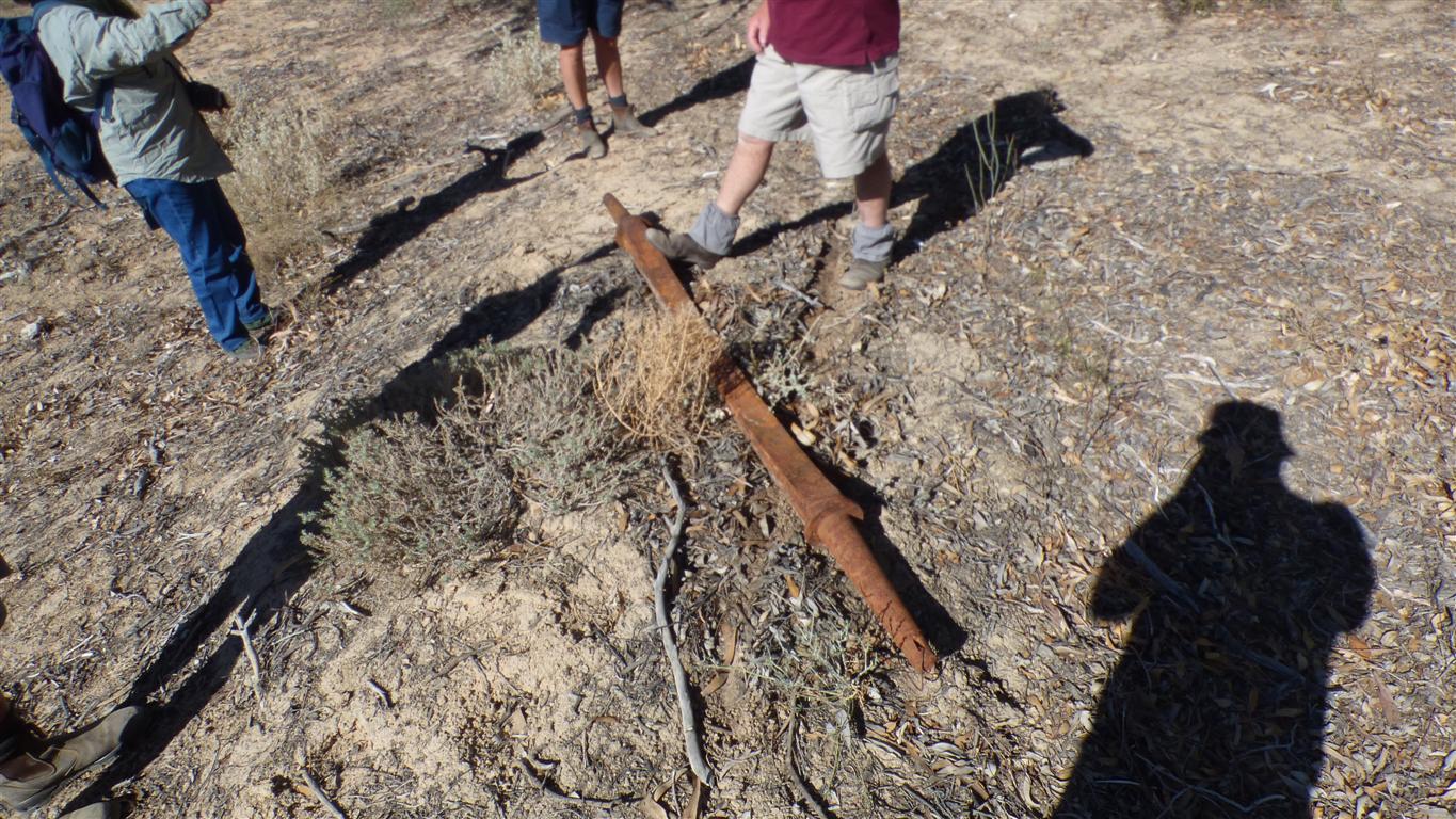
We tripped over an old axle .....
..... its from an earlier, horse drawn, age ....
.... it wouldn't fit the Oka.
Its a front axle.
Now all we need are a couple of wheels.
In the upper fork.
The end of the billabong.
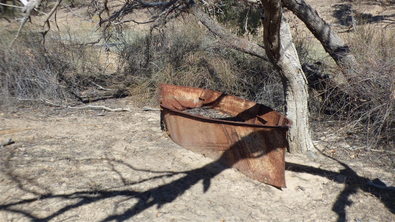
Riveted steel plate.
Flat bottom.
A 1930's tinnie.
No seats or oars remaining.
The last thing we expected on the edge of a desert.
But periodically there are floods
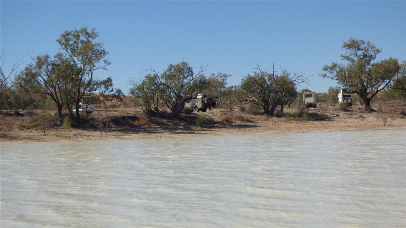
Campsite on the east side.
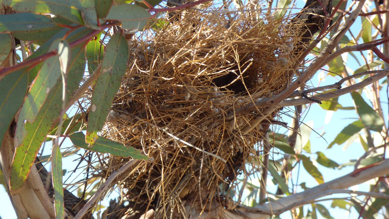
We've not previously seen a nest with a side entry.
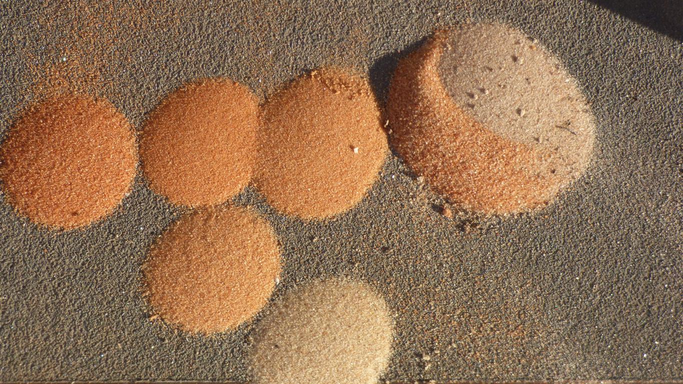
The books say the sand is darker to the north.
We suspect it also darkens to the west. Though not so markedly. We don't have sufficient samples of course ....
The white sample from the south is from the southern part of the Warburton Track.
The odd sample at the east is a mix of alluvial sand from the flood out of Eyre Creek and adjacent dune top.
The dunes don't travel like waves, their movement is along the lines of dunes. Very roughly south east to north west, with the (two) prevailing winds.
The sand which has traveled furthest is the most red. We wonder how dark it is at the northern edge of the desert.
The different grain size (coarseness) is probably from the positions in the dunes the samples were taken from. Wind can "grade" sand.
The sand map is not to scale!
The sand is apparently predominantly silica with some iron mineralisation and a little clay..
The iron oxidises on the surface of the sand grains to produce the reddish colouration.
We'll hopefully remember to add some sand from "Big Red", the most eastern dune of the desert, and the nemesis of many a 4wd enthusiast, to complete the collection.
With one very important difference.
Peter and Margaret are in front of us.
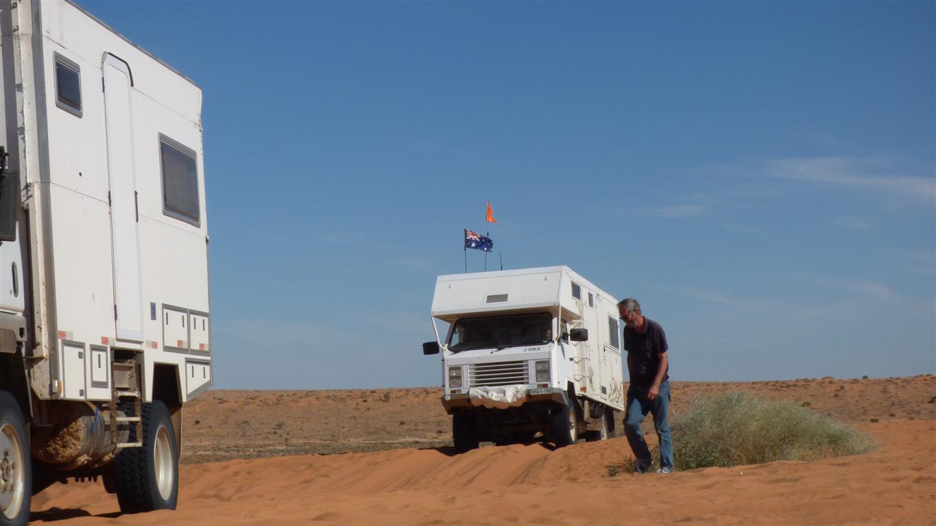
Again.
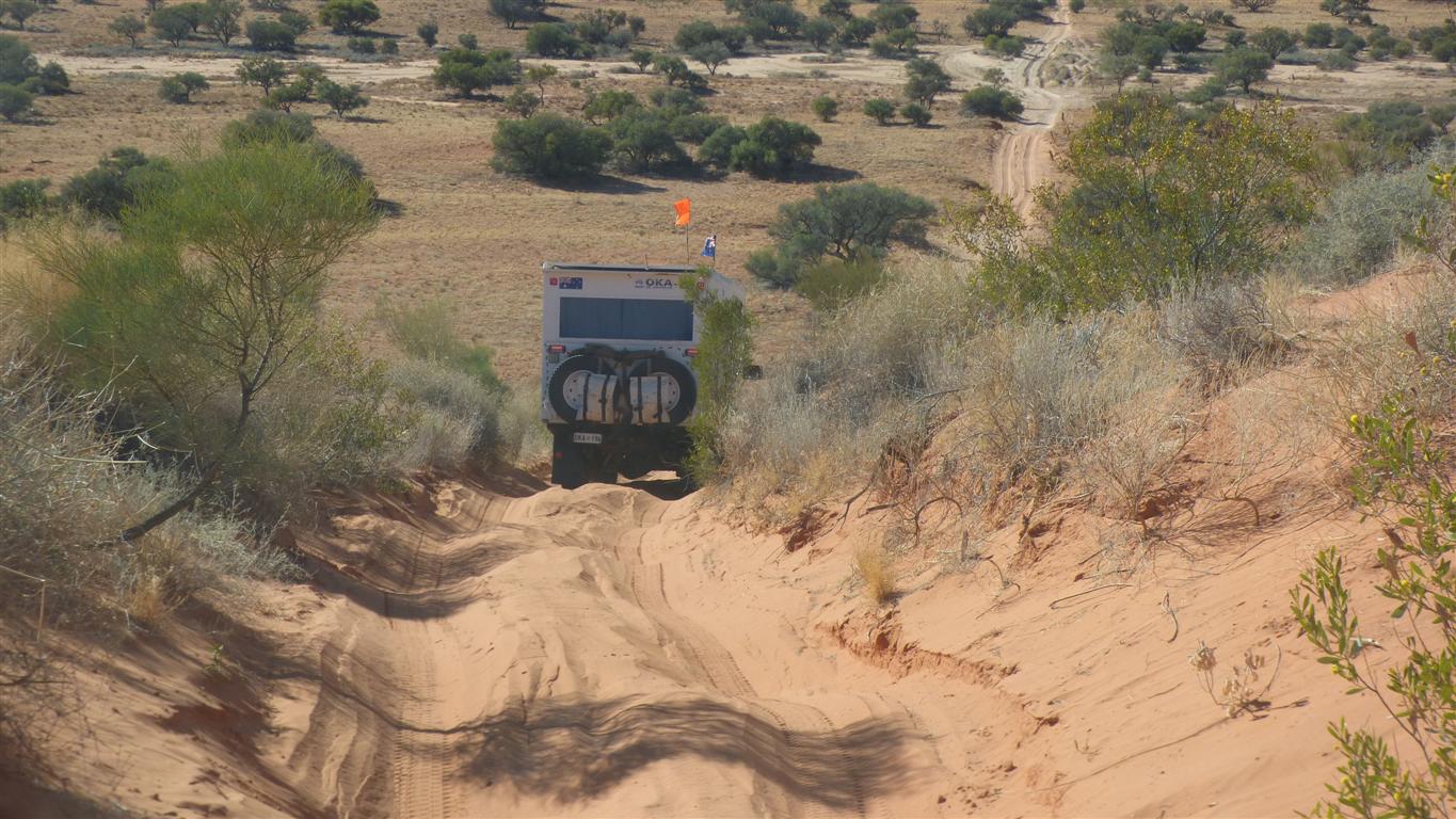
In a graphic demonstration of the significance of tyre pressure Peter crawled up the dune in low 2nd gear with about 15psi in the tyres and no wheel spin.
Worth a 10+.
We were a bit lazy and took a bit of a run at it.
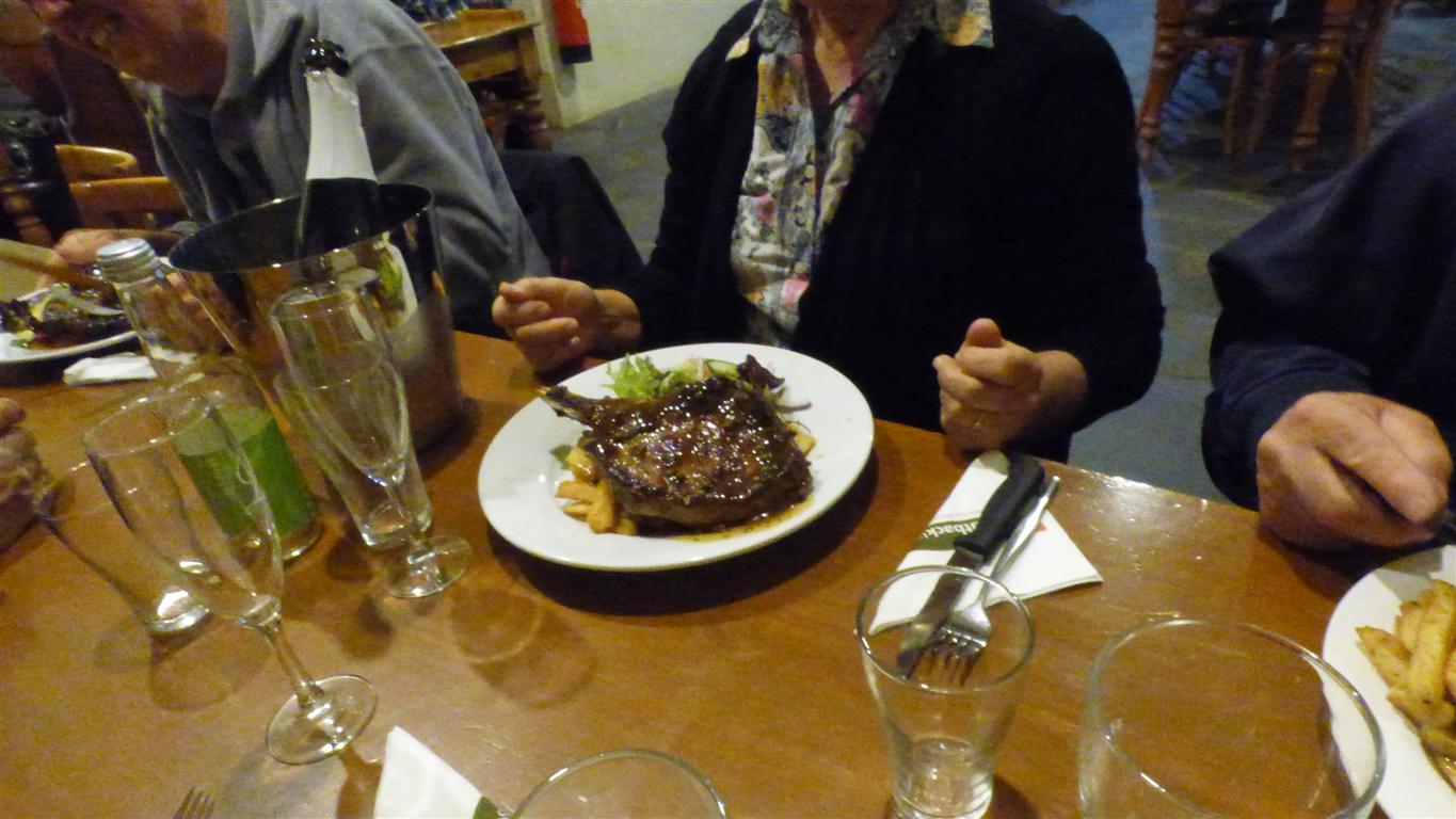
Our last night together.
We celebrated completing our desert crossing in about 3 weeks.
A bit longer than the 2 1/2 days possible.
Enjoyable because its such an interesting place, and enjoyable because of the company.
And playing in sand is always fun.