About 2 1/2 days, or about 1200 km for flying crows.
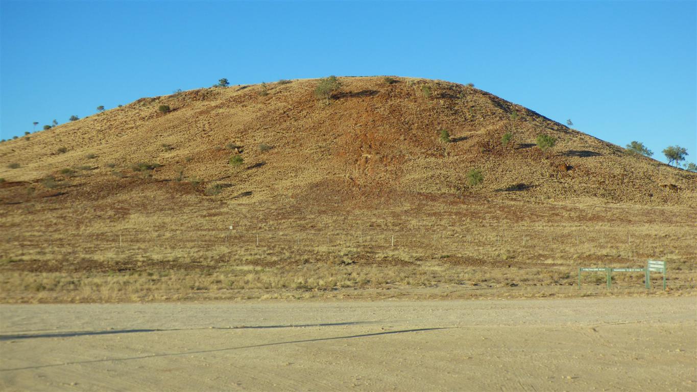
As we leave Cullyamurra we again remark on "hills".
Though only just ... they are a bit crumbly.
We are not sure if we like it.
Its only 360km south of us.
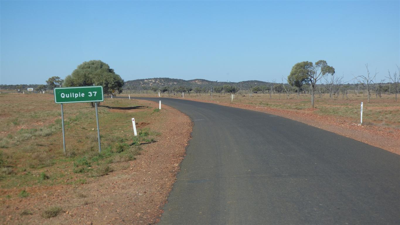
We are slowly becoming a bit more familiar with the geography of Australia.
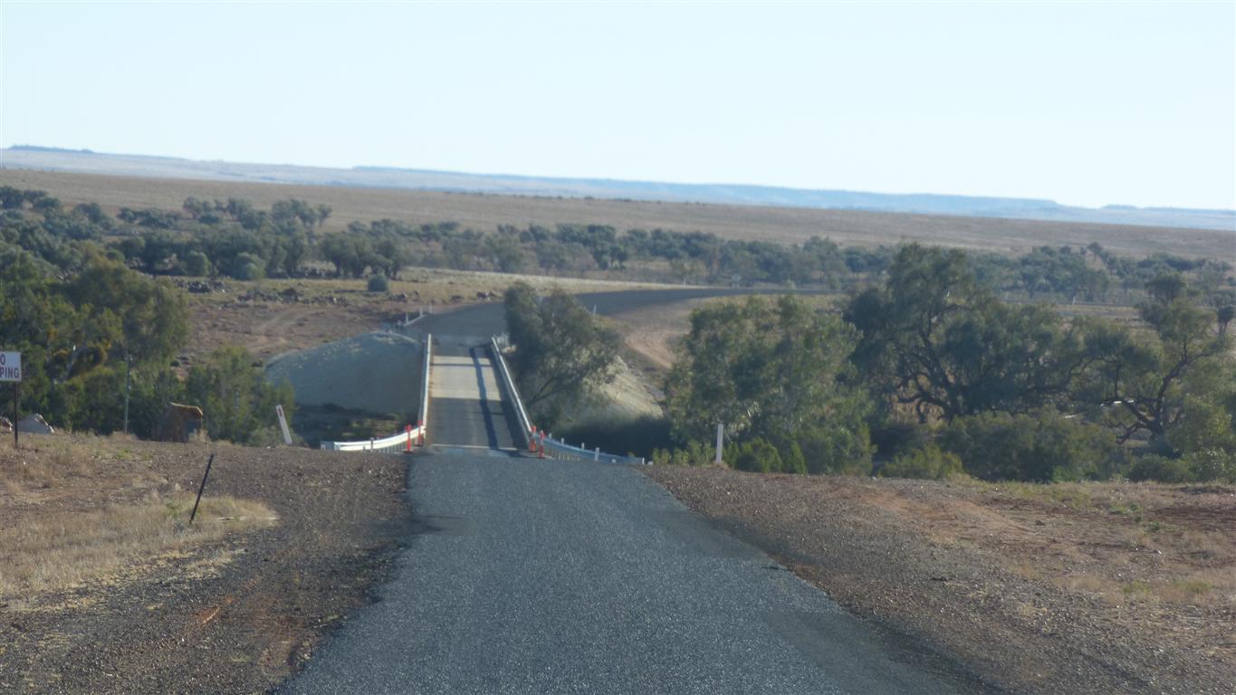
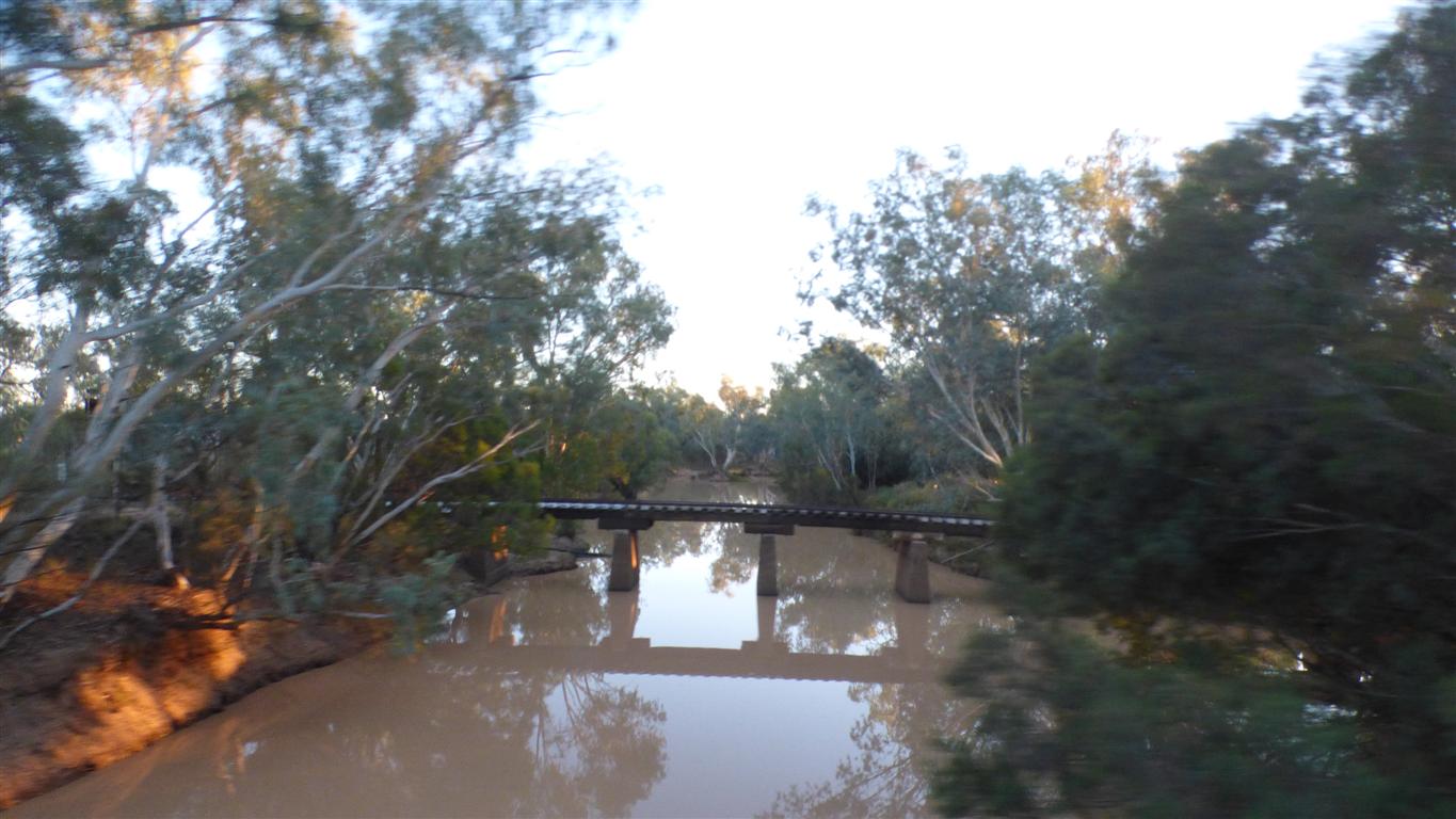
A very substantial bridge.
The creek has many channels in this area.
The other side of the creek is "Channel Country". A large expanse of channels.
Around 150,000 sq km with lots of "rivulets".
For the geographically challenged Wales is about 21,000 sq km and England 131,000 sq km.
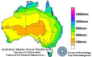
Thanks to Bureau of Meteorology for rainfall map.
We are traveling more or less due east, from the arid centre to the coast, about halfway up on the right hand side.
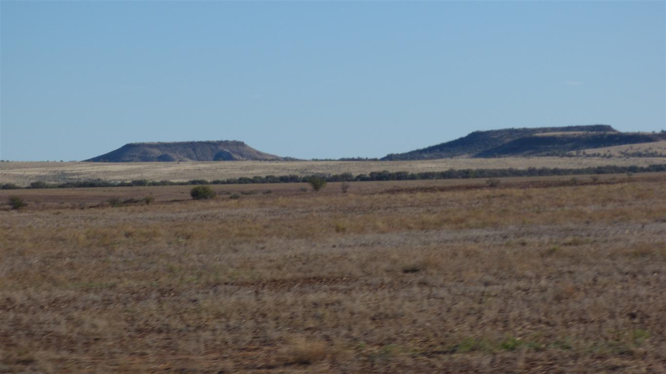
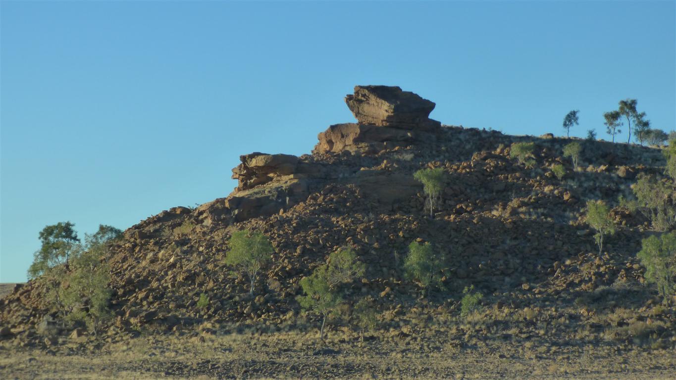
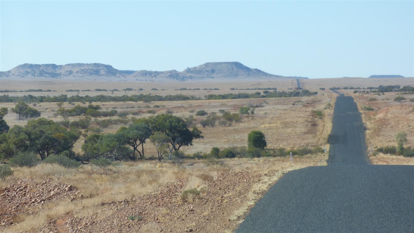
We are seeing a few "jump ups".
Just as we did around Cameron Corner.
Also called escarpments.
Cooper Creek flows into Lake Eyre.
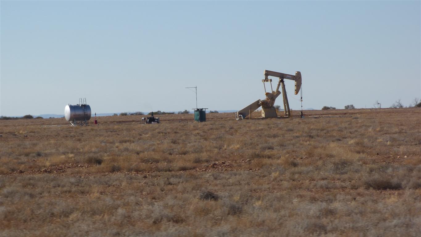
We've seen mostly wells that are under their own pressure.
This one, presumably oil, has a nodding donkey.
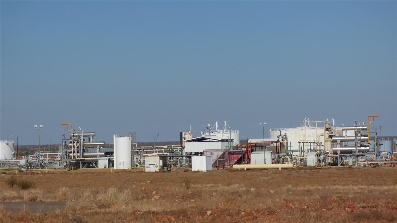
And a few "facilities".
Included are some dinosaur fossils.
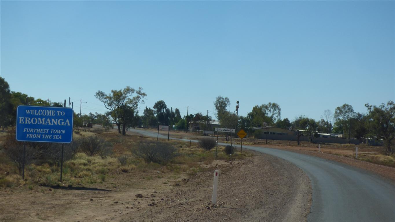
Which happens to be the Aus town furthest from the sea.
A meagre 800km to Port Augusta.
The museum has a price tag of $150 per person for a day of 4wd tagalong tour to dinosaur excavations, with lunch.
We are very much not their intended market.
There is the museum itself, but we suspect we would not be satisfied and our focus is on home. Maybe another day.
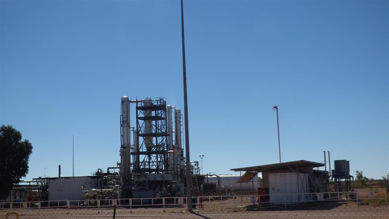
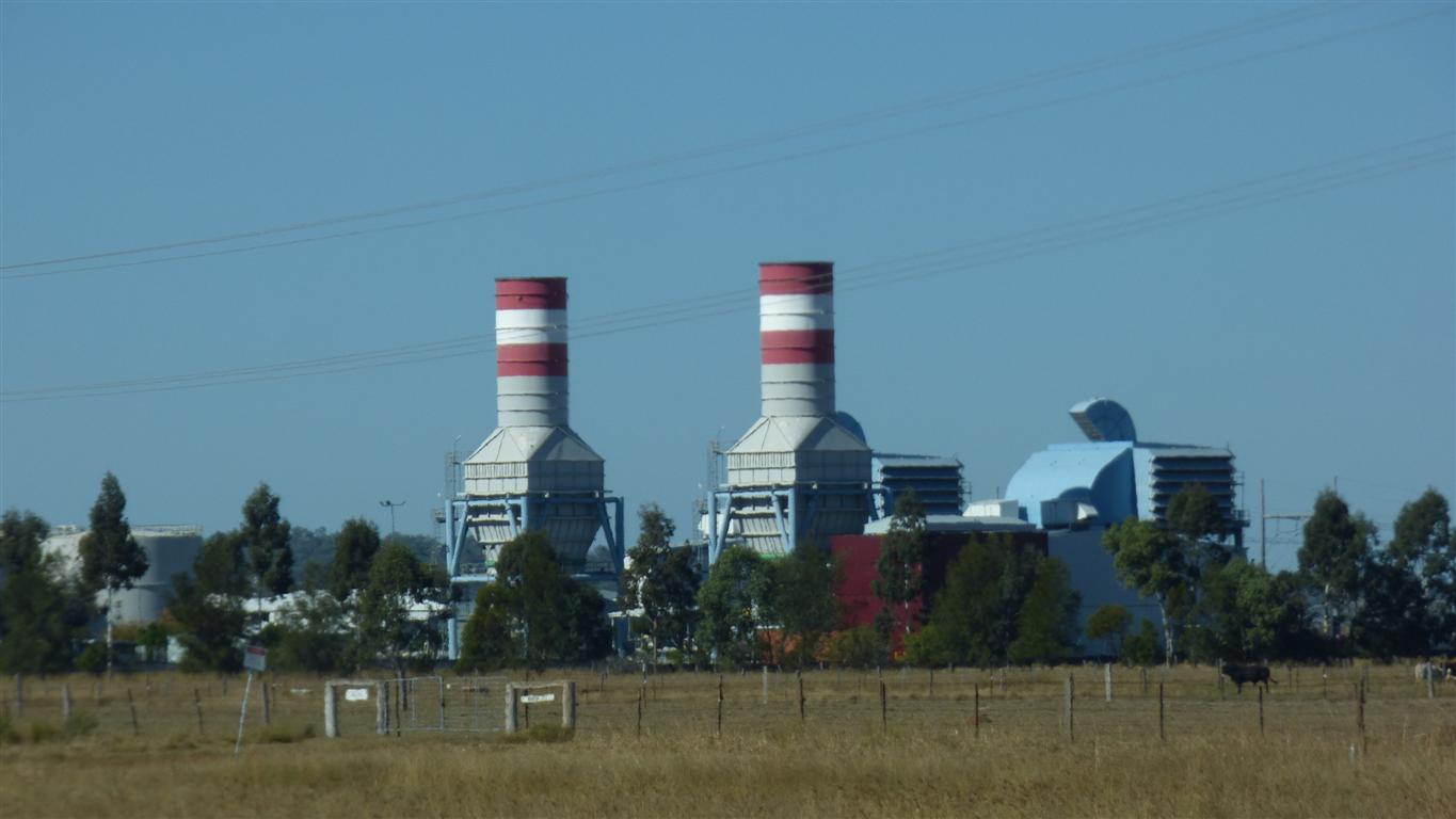
A micro refinery.
We filled up with diesel (which came with a warning of high sulphur).
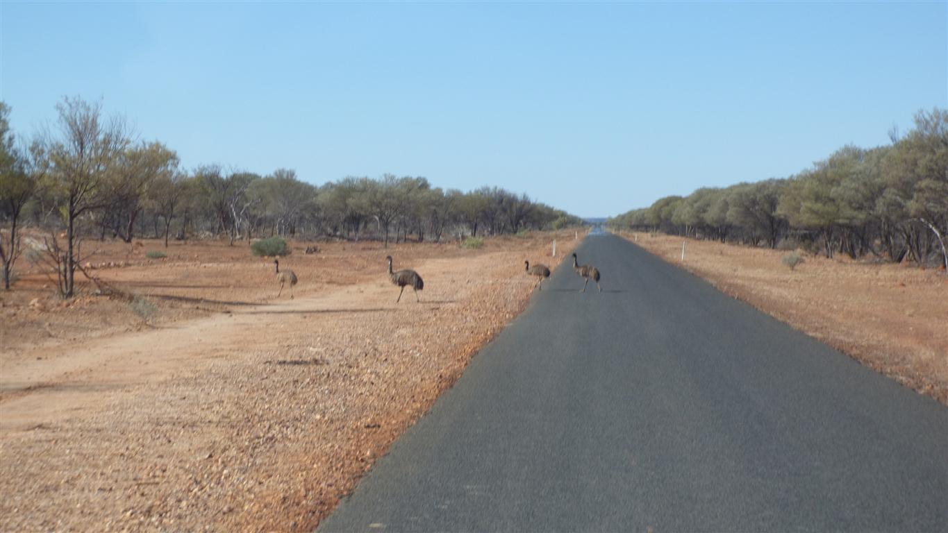
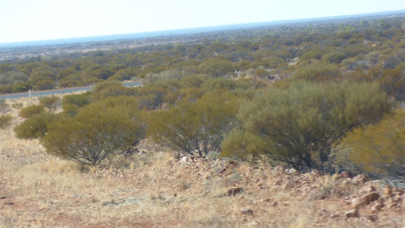
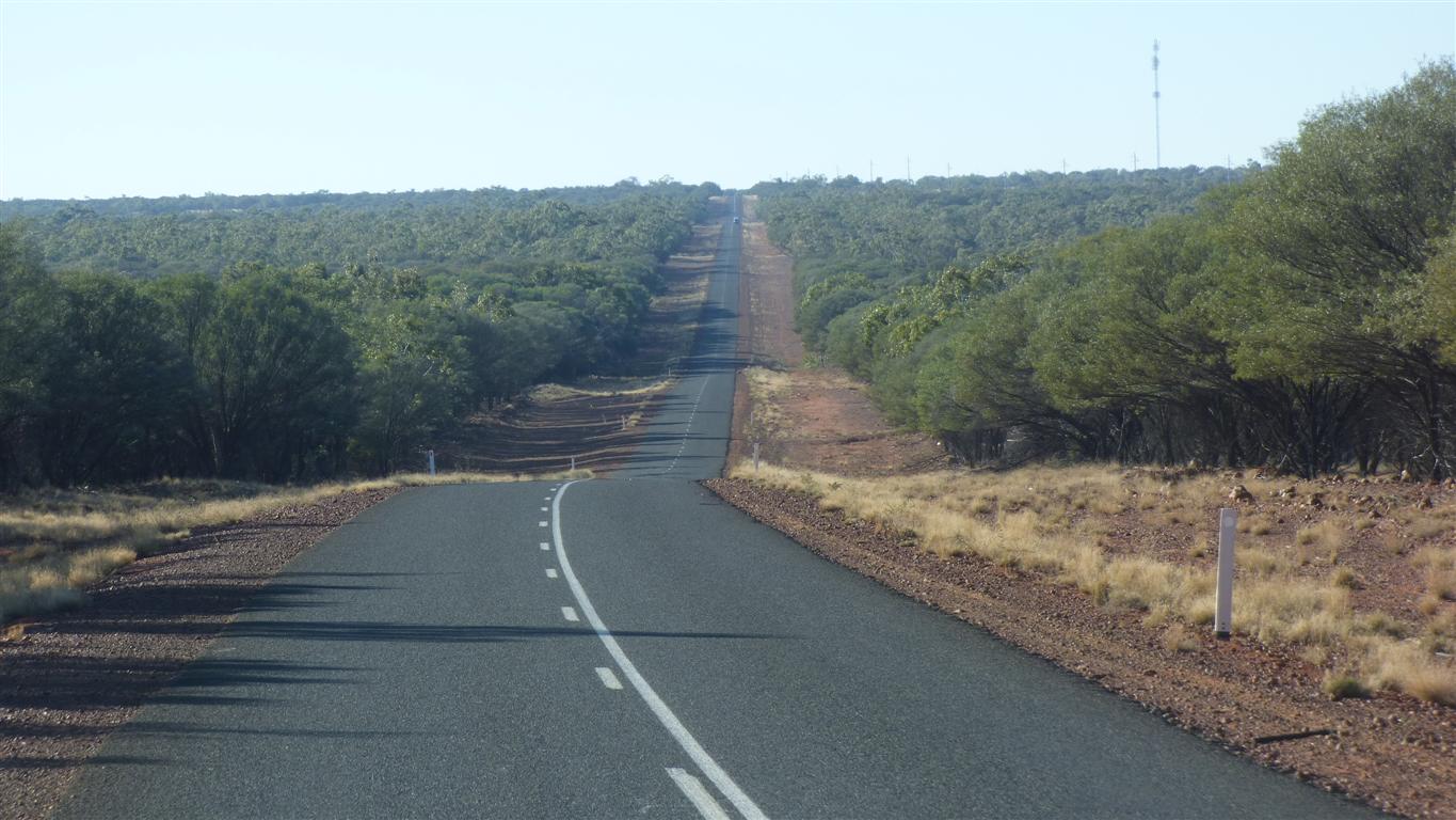
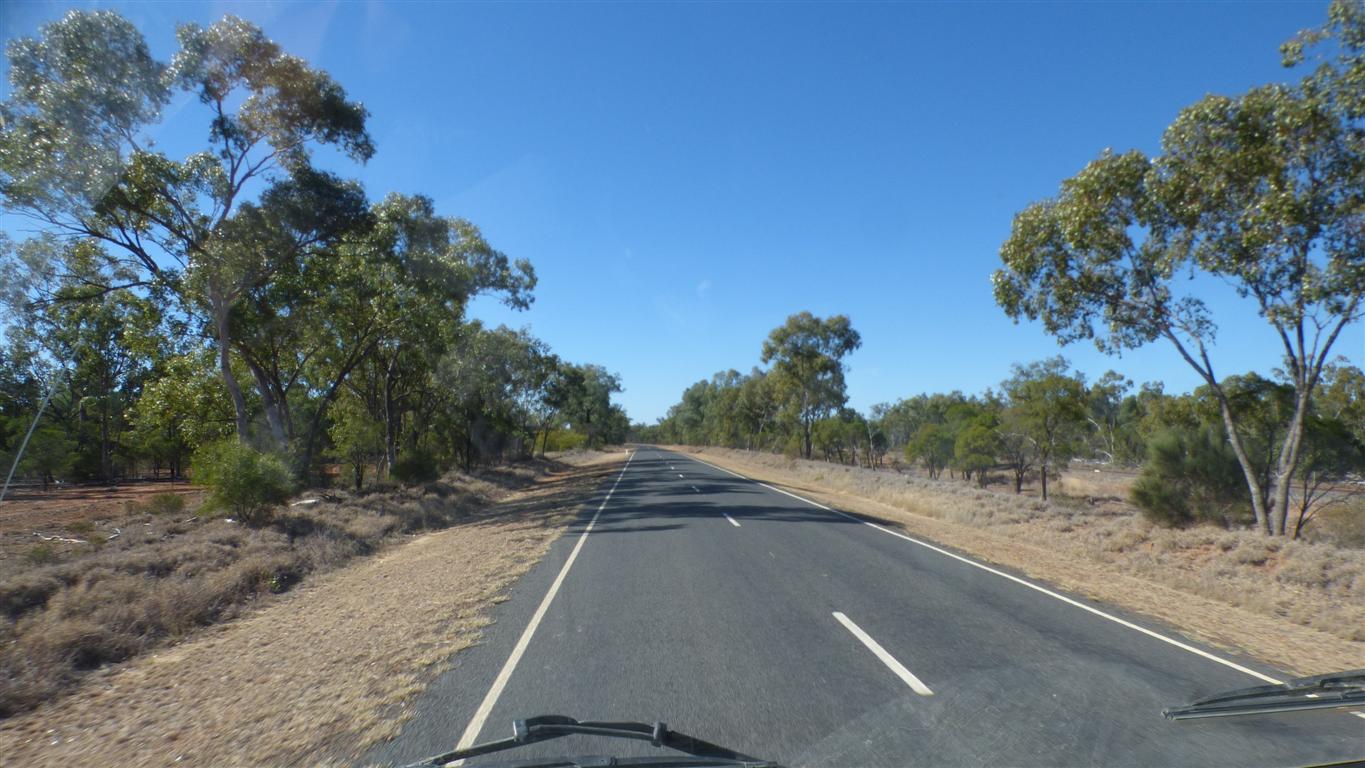
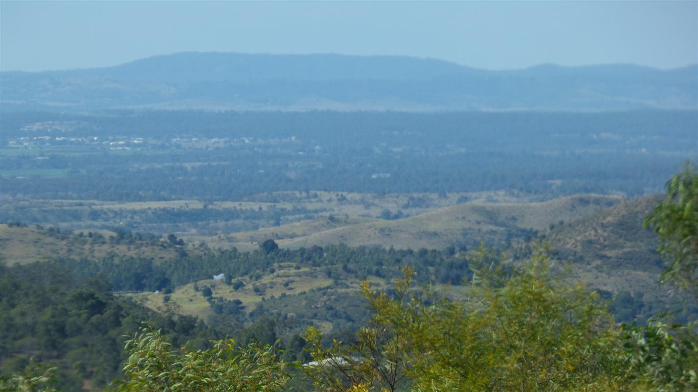
The vegetation is getting taller.
And the emus more obvious.
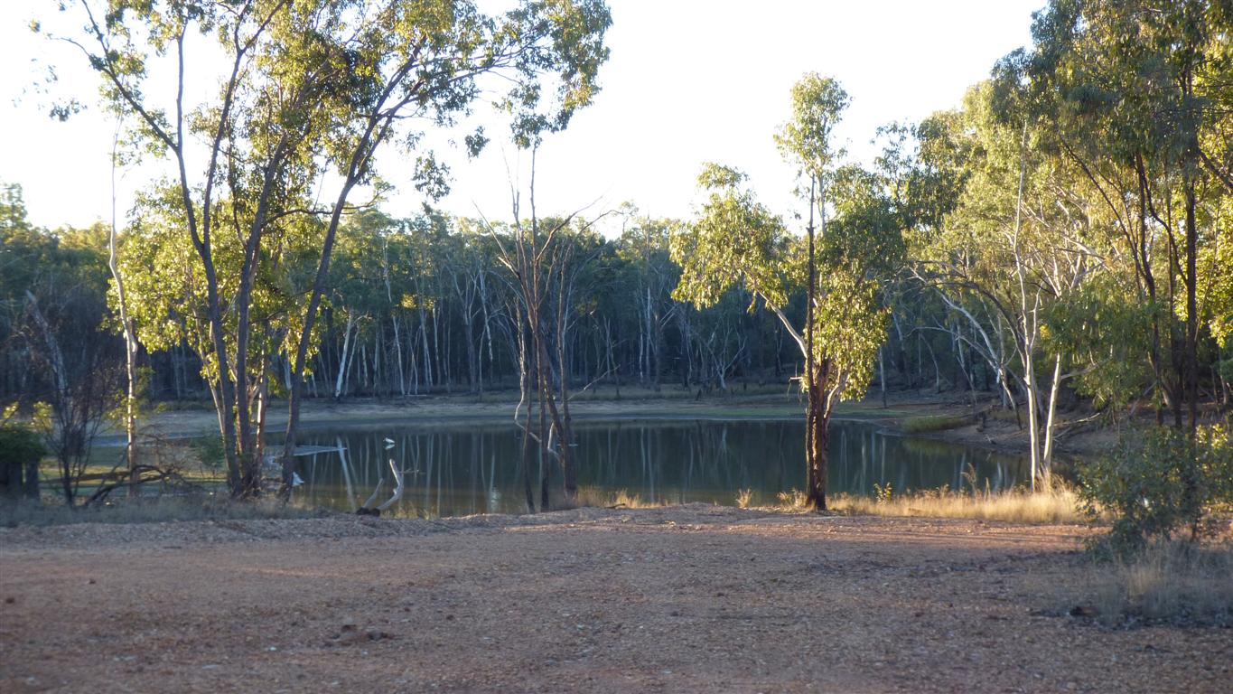
We intend to camp for a night there.
It rises, flows a bit, then disappears into Bulloo Lake.
There's a Bulloo River Overflow which covers a large area.
However, there are enough hills to separate it from the Eyre Basin to the west and the Murray Darling Basin to the east.
We camped next to it.
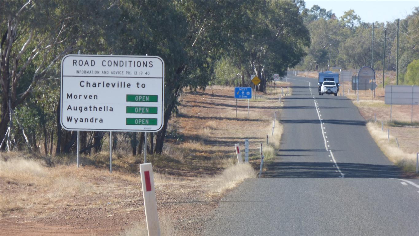
Many signs about which are open or closed.
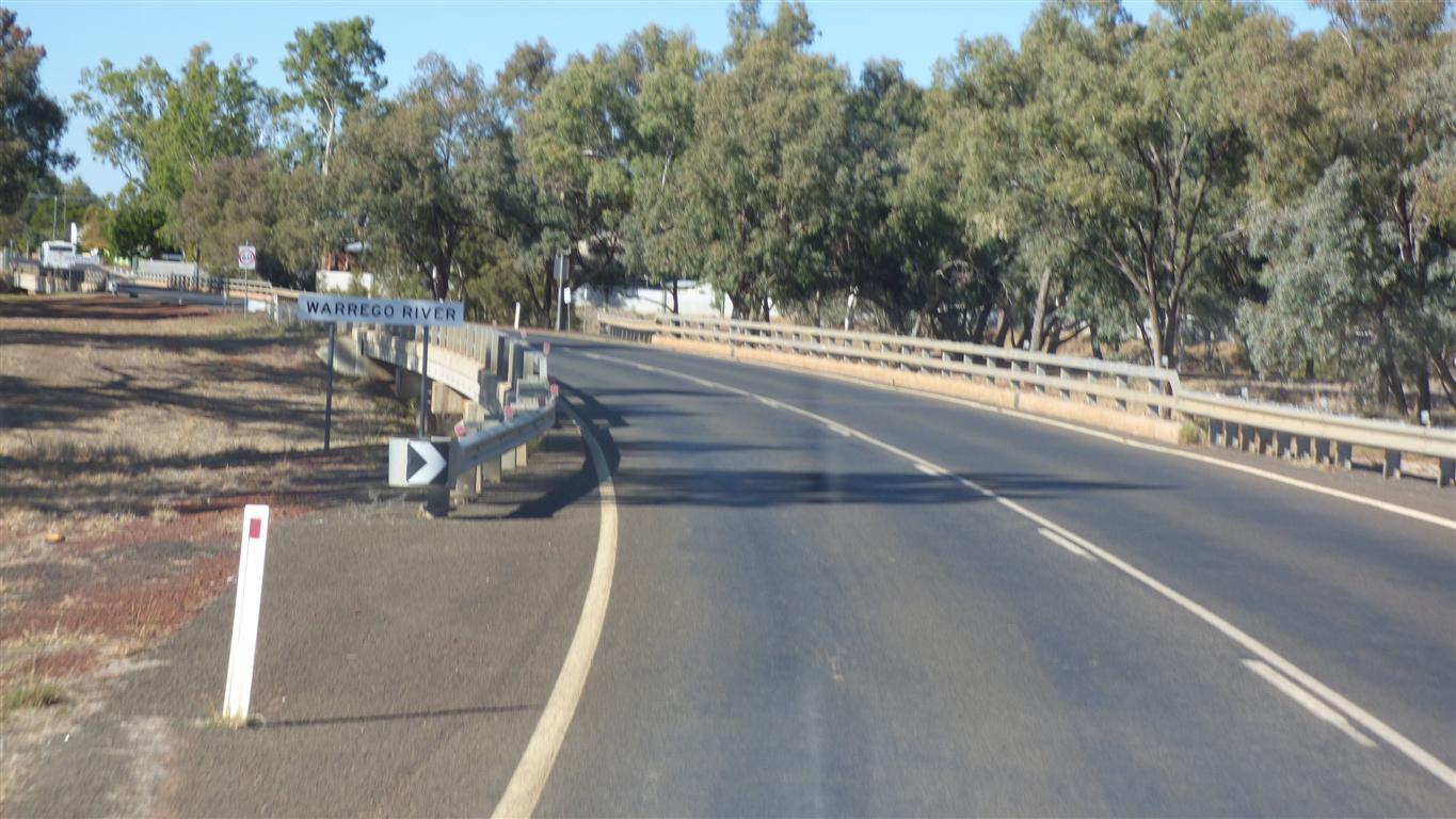
Its the northern most tributary of the Darling River.
It only flows occasionally.
Not enough for irrigation. This is still cattle (and sheep) country.
If we'd driven along the north bank of the Darling River from Tilpa Weir (on our last trip) we would have had to cross the Warrego near its confluence with the Darling.
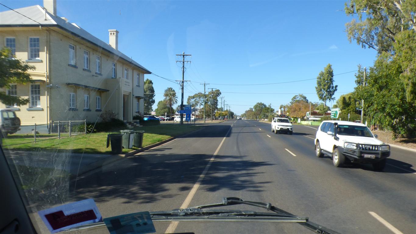
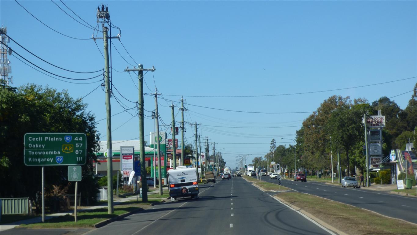
The towns are becoming bigger.
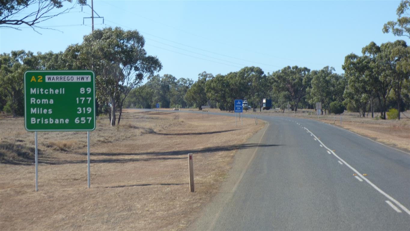
Just a bit over 600km.
More than half way.
No particular reason.
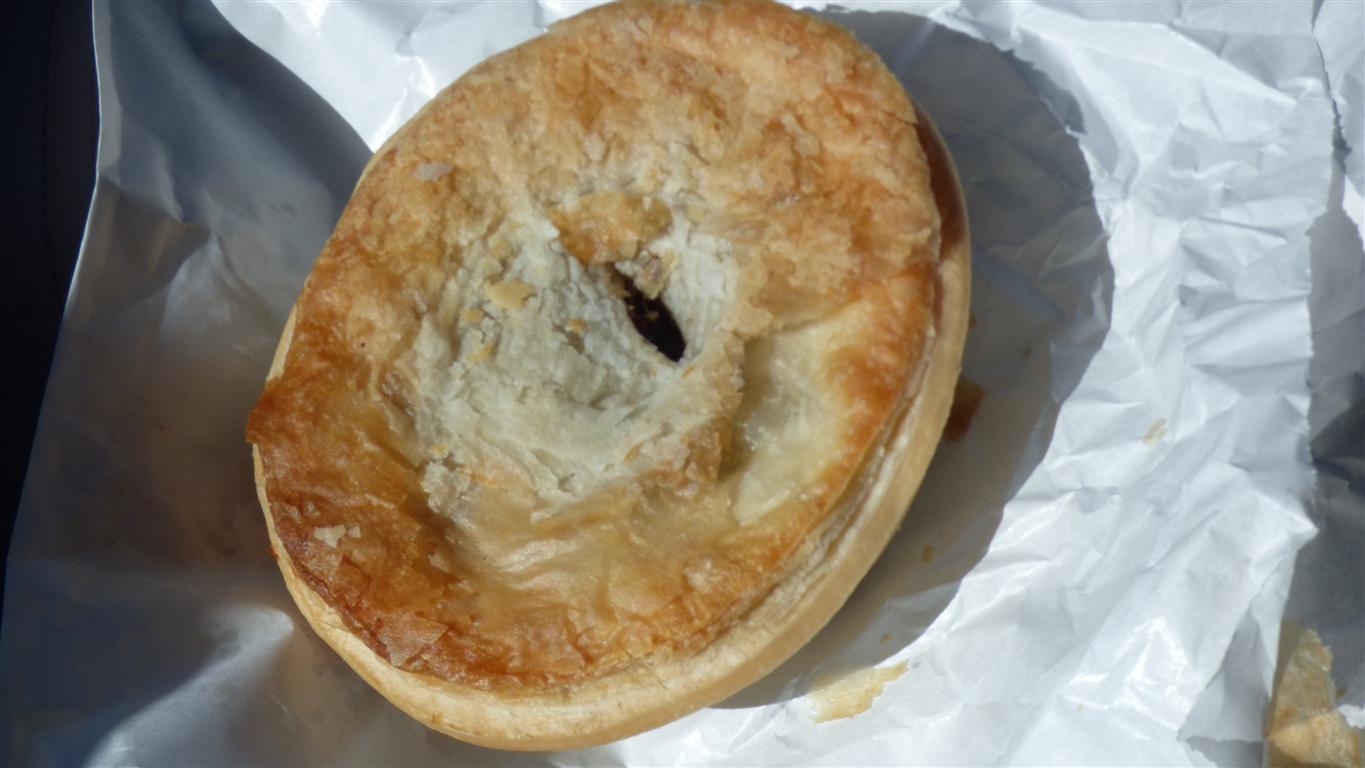
There was a bakery and we were hungry.
The beginnings of the wheat belt.
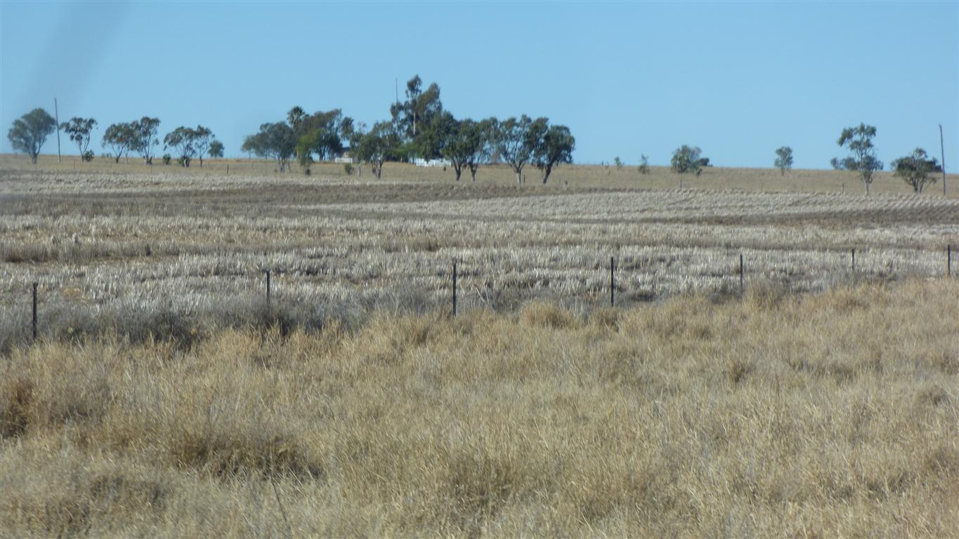
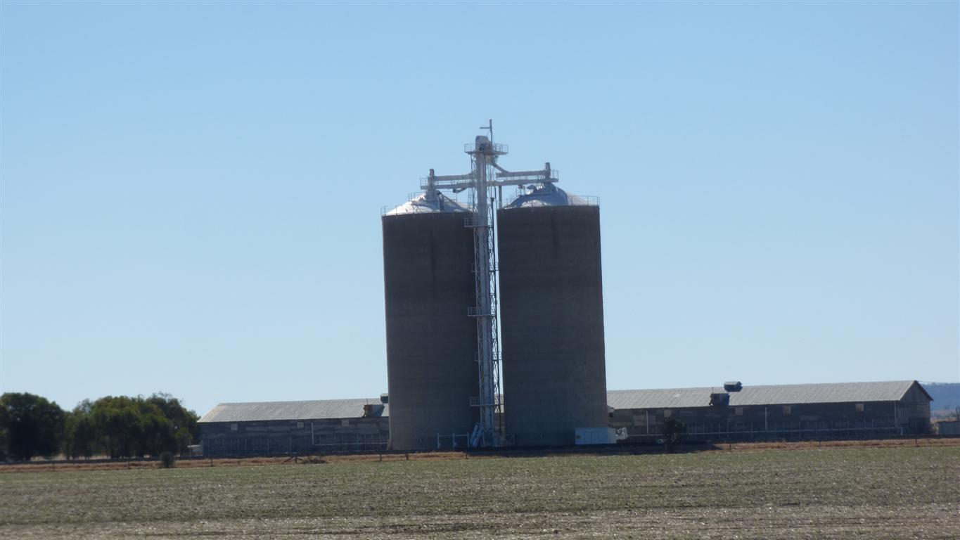
At Mitchell we begin to notice grain siloes.
Not boabs (Southern Africa). Not related at all.
These are distinctly Australian.
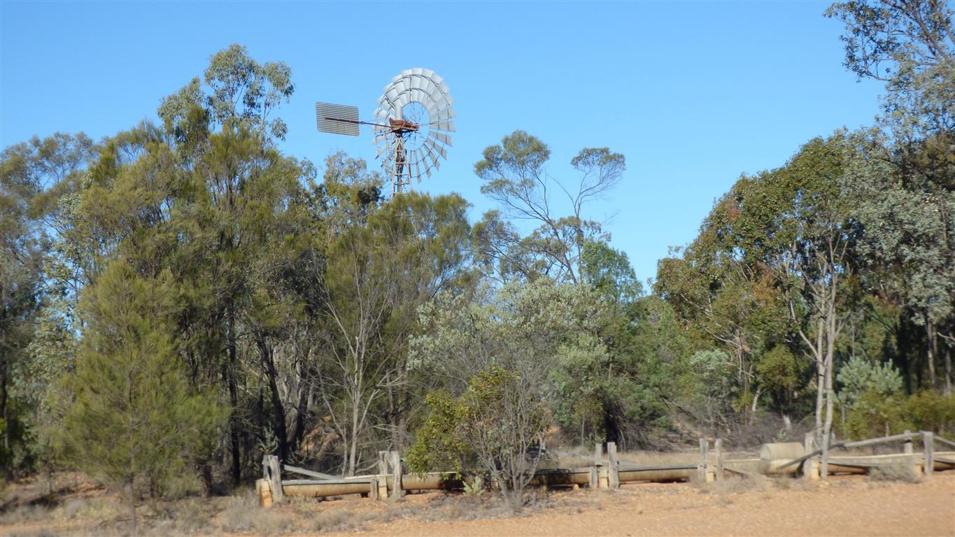
Old windmill, a couple of dams, signs of quarrying either for Silica or road bed, signs of farming..
There's a deposit of high purity silica quarried nearer to Yuleba.
We stopped the night.
The windmill squeaks a bit when turning. We had a still night.
We think.
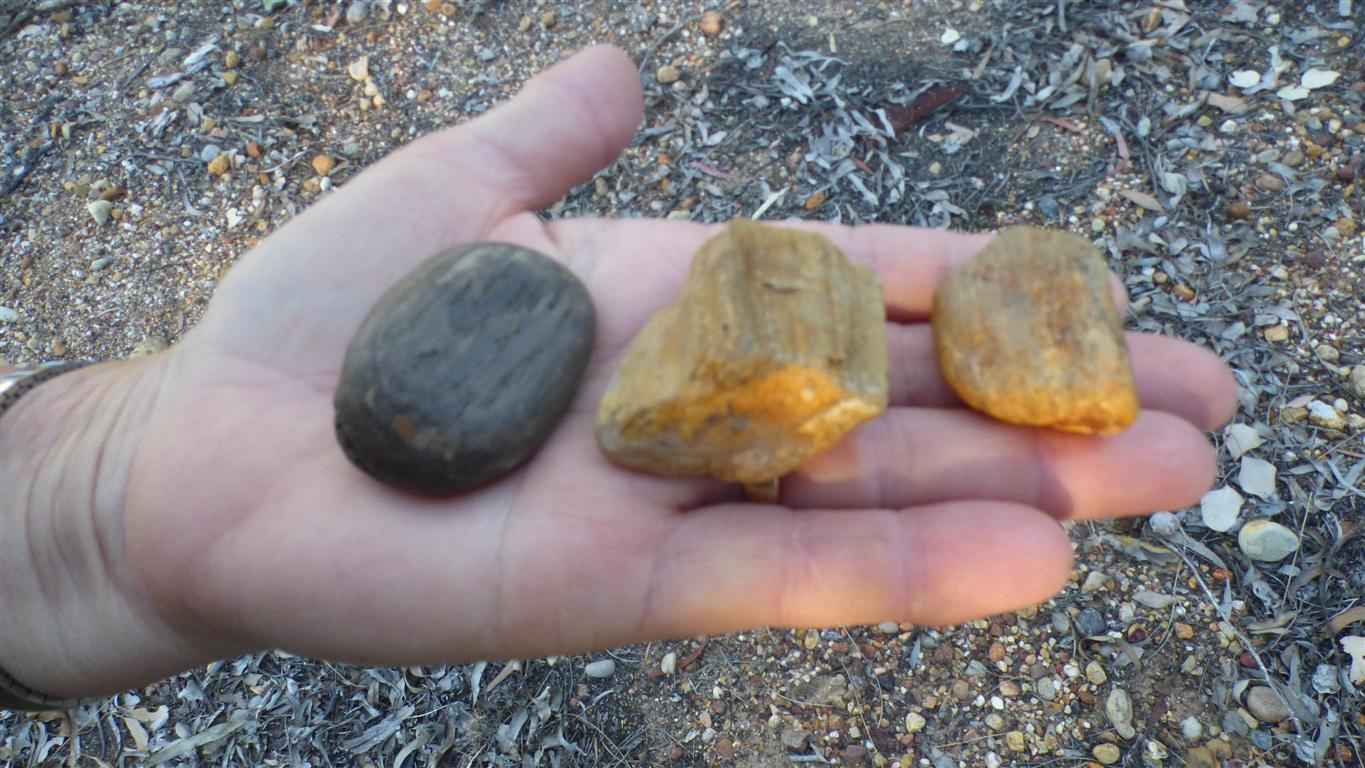
No opals.
Not even a hint.
We have 400km to drive home.
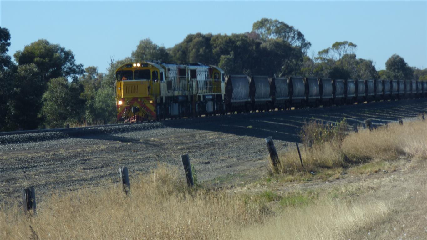
We think empty coal train.
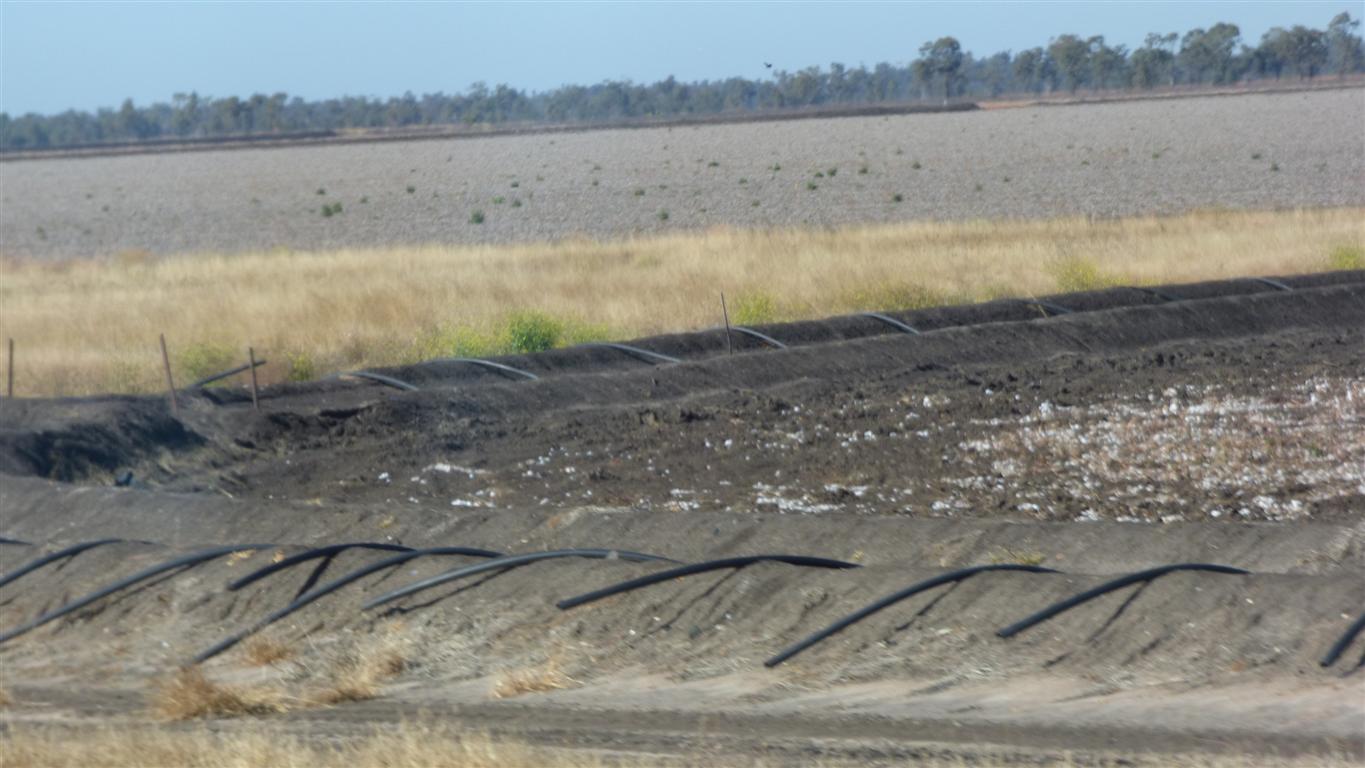
The pipes are for irrigation. Cotton needs lots of water.
Chinchilla.
Less than 100km left.
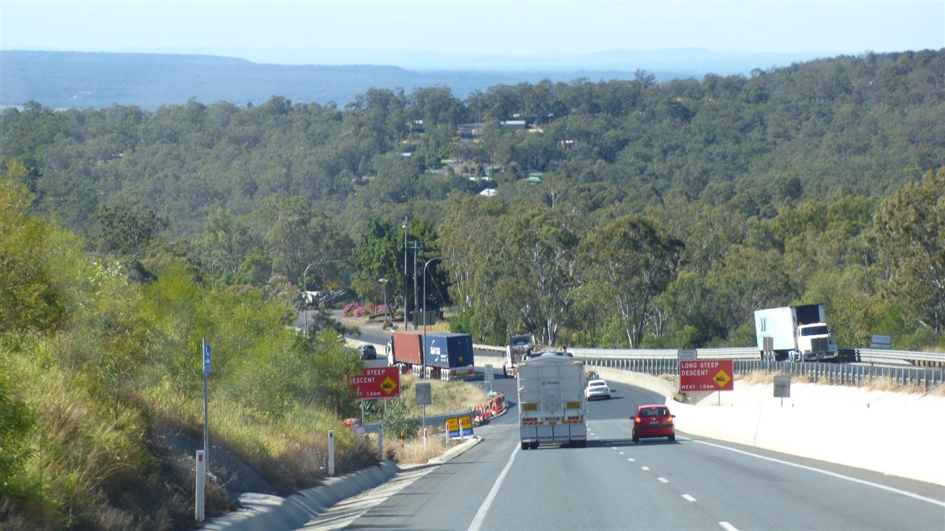
Low gear, the exhaust retarder helps.
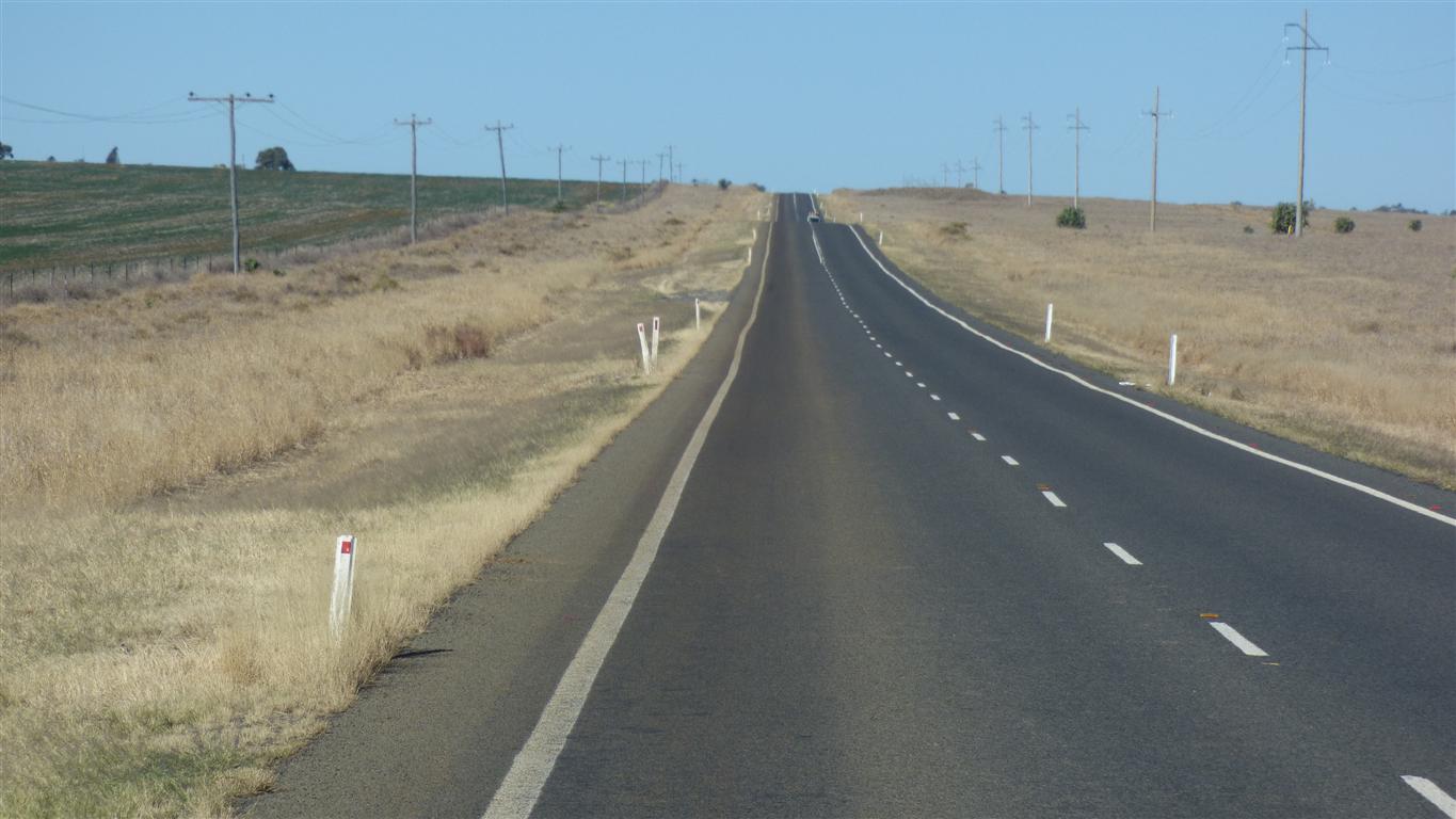
The road is dual carriageway from here.
We are just about home.
Time to contemplate a couple of busy months.
The blog helps my memory.
Our health seems to have withstood the trip. I'm aware of the PMR its ever present, but with the steroids its stable. I made a small reduction shortly before the trip. Almost ready to reduce some more.