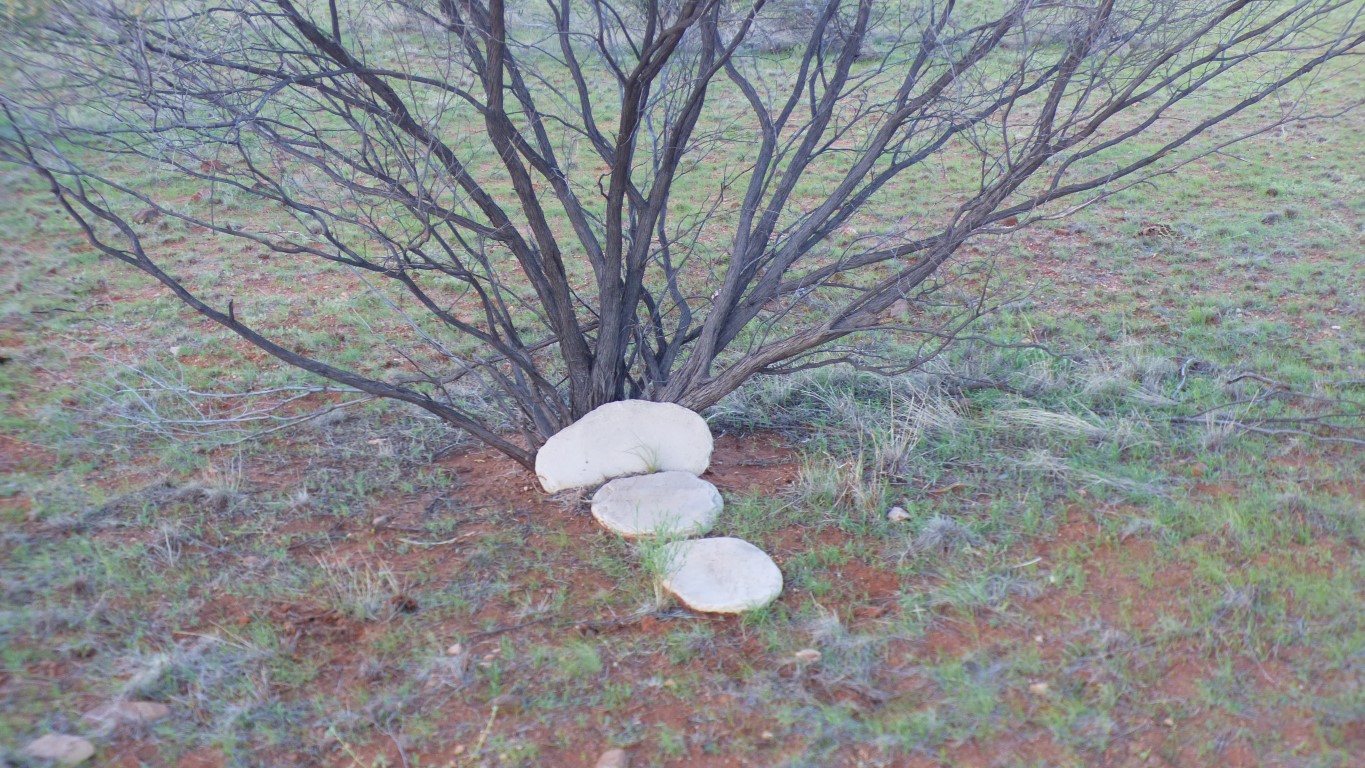
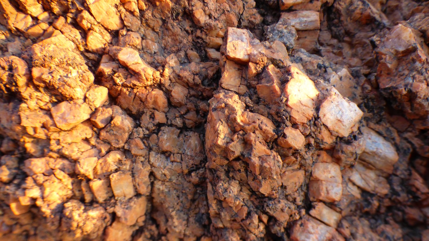
The stones are limestone, and don't belong here.
But they look deliberately placed.
We think.
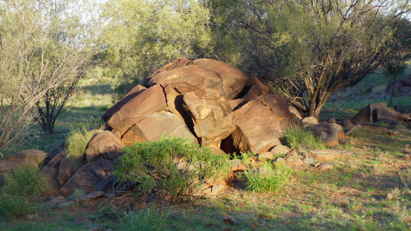
And the brown colour is its normal weathering.
We think.
Looking east, whence we came.
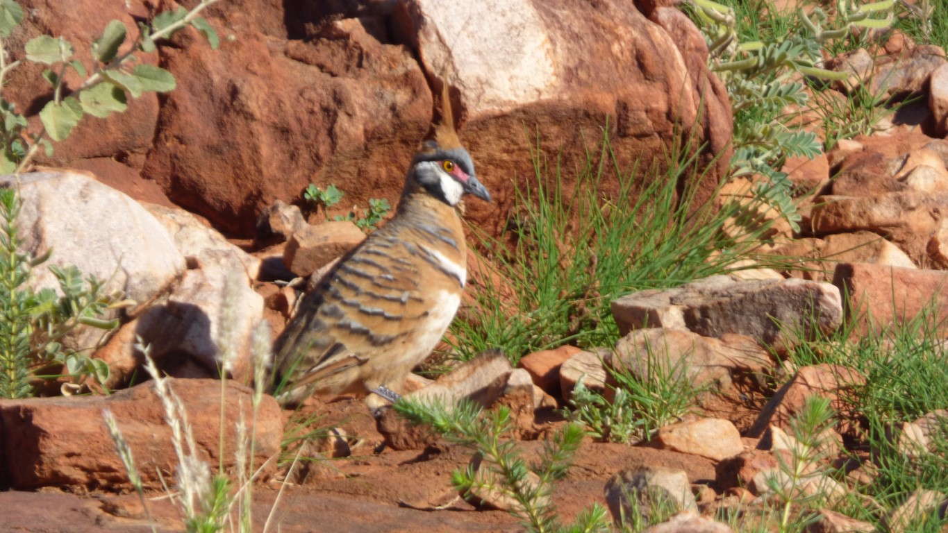
It was behaving as if it was as annoyed by flies picking at its head as we are (by flies around our heads ....).
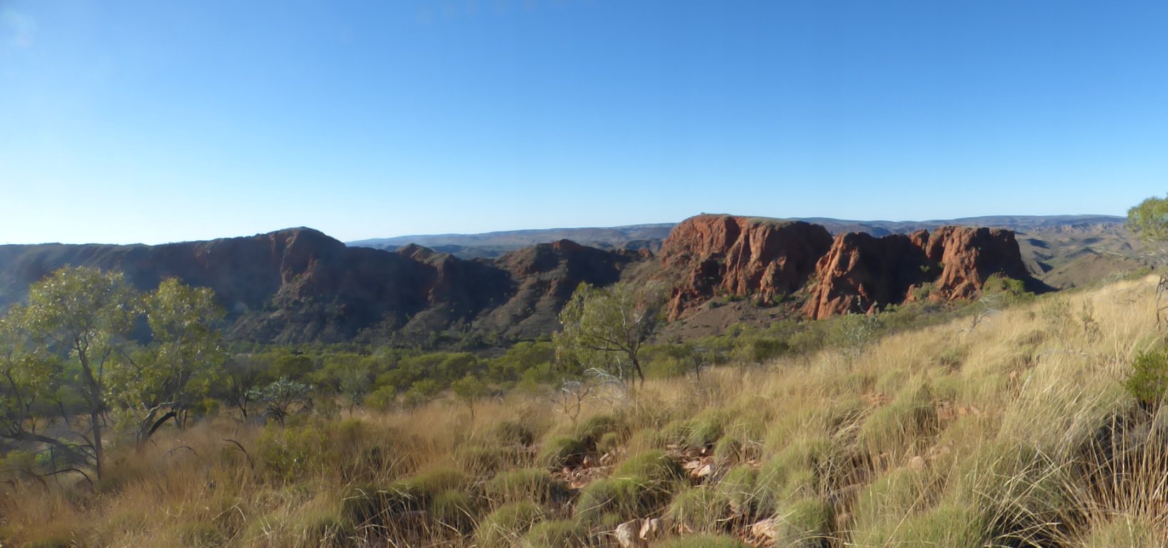
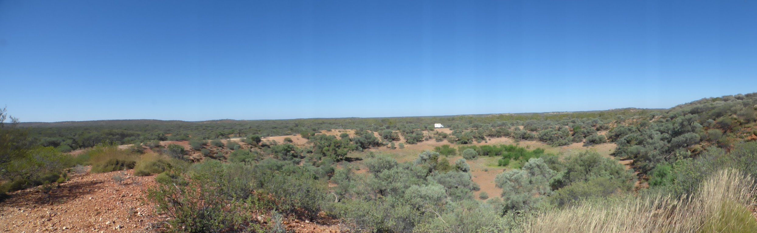
Not very conclusive. We can't be sure as to how the landscape heaved and eroded leaving the distinctive hills at our campsite.
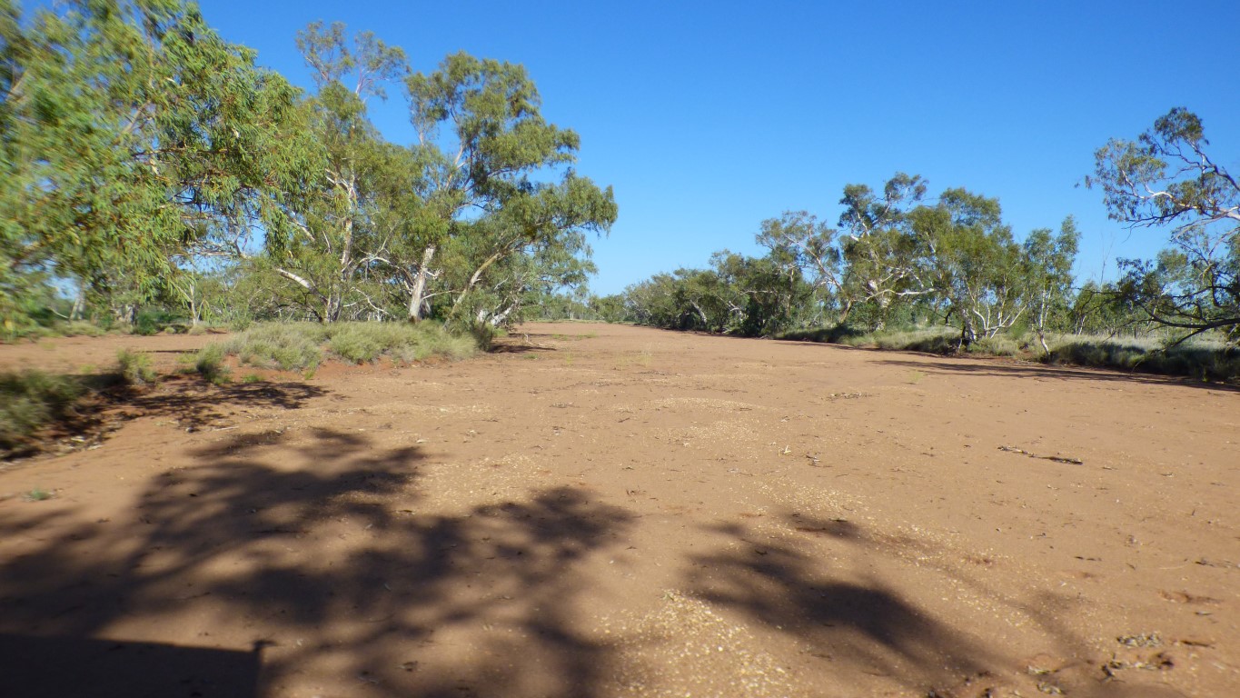
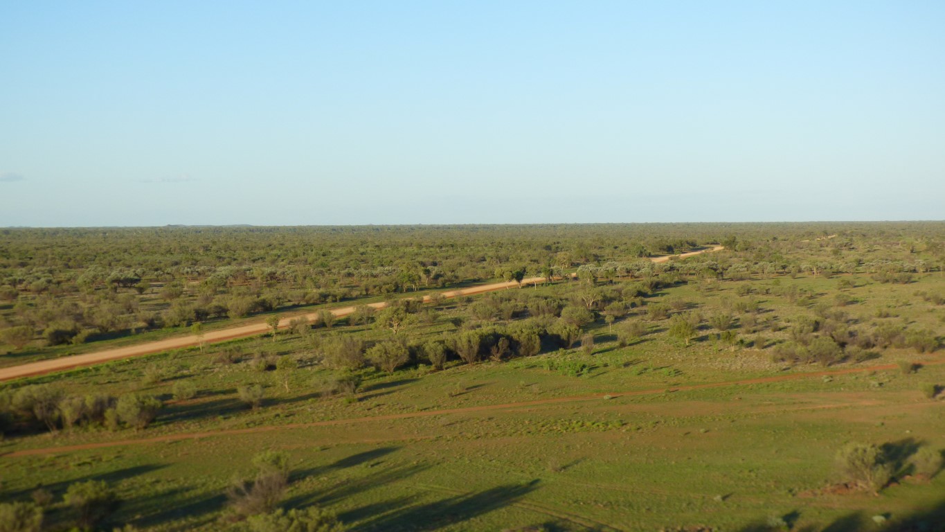
Another broad, single, channel.
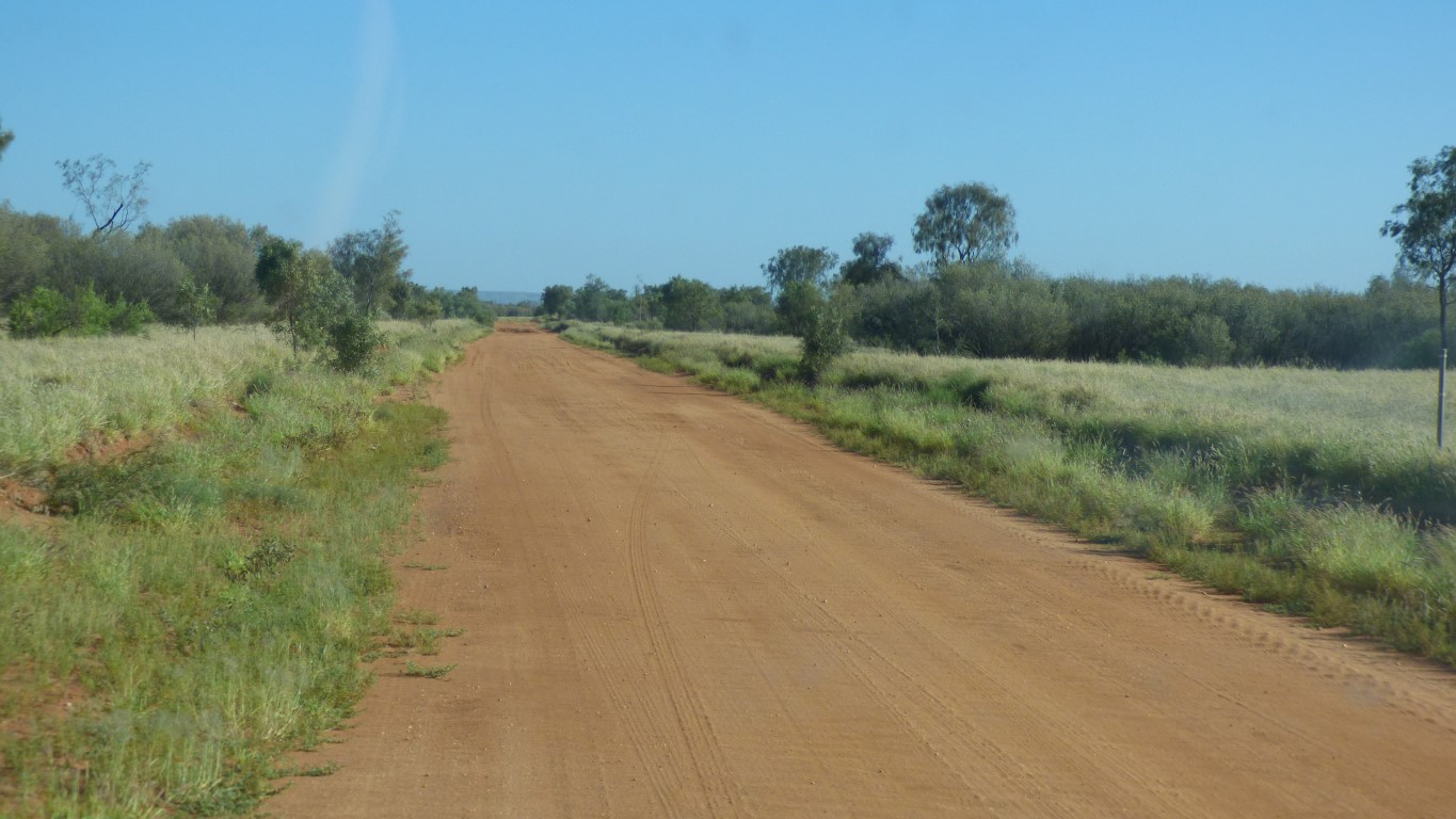
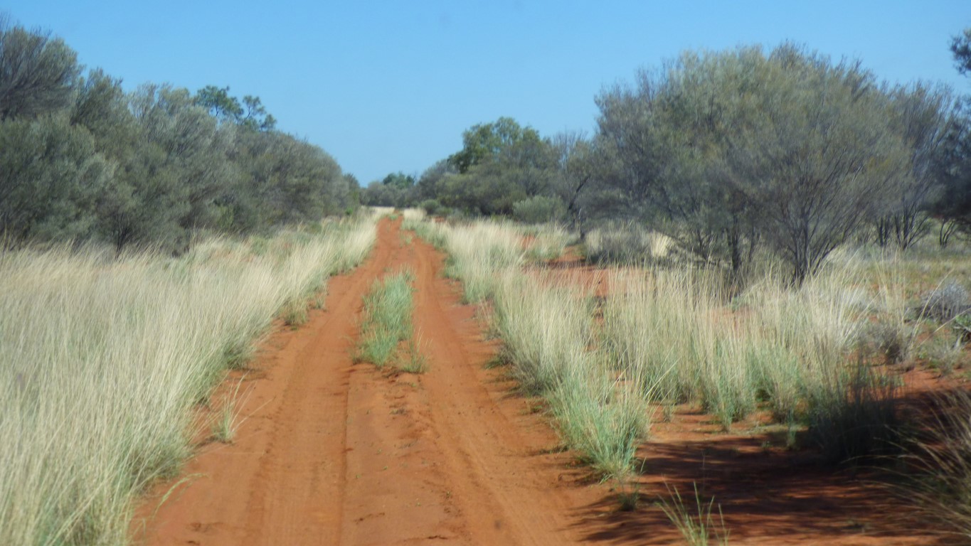
Its as if we have changed gear. We are a day's drive from Alice Springs. And can reasonably time our arrival at the WA border for the 13th April - a date for the WA permit pulled from a hat a few weeks ago. Taking a detour suggests we are taking more interest in our surroundings rather than "driving driving"
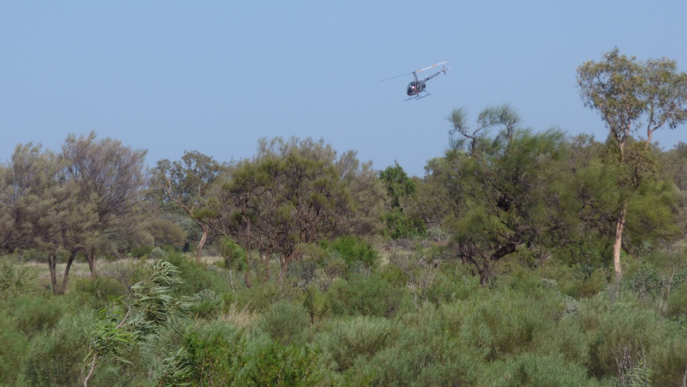
The helicopter is above Dneiper Station.
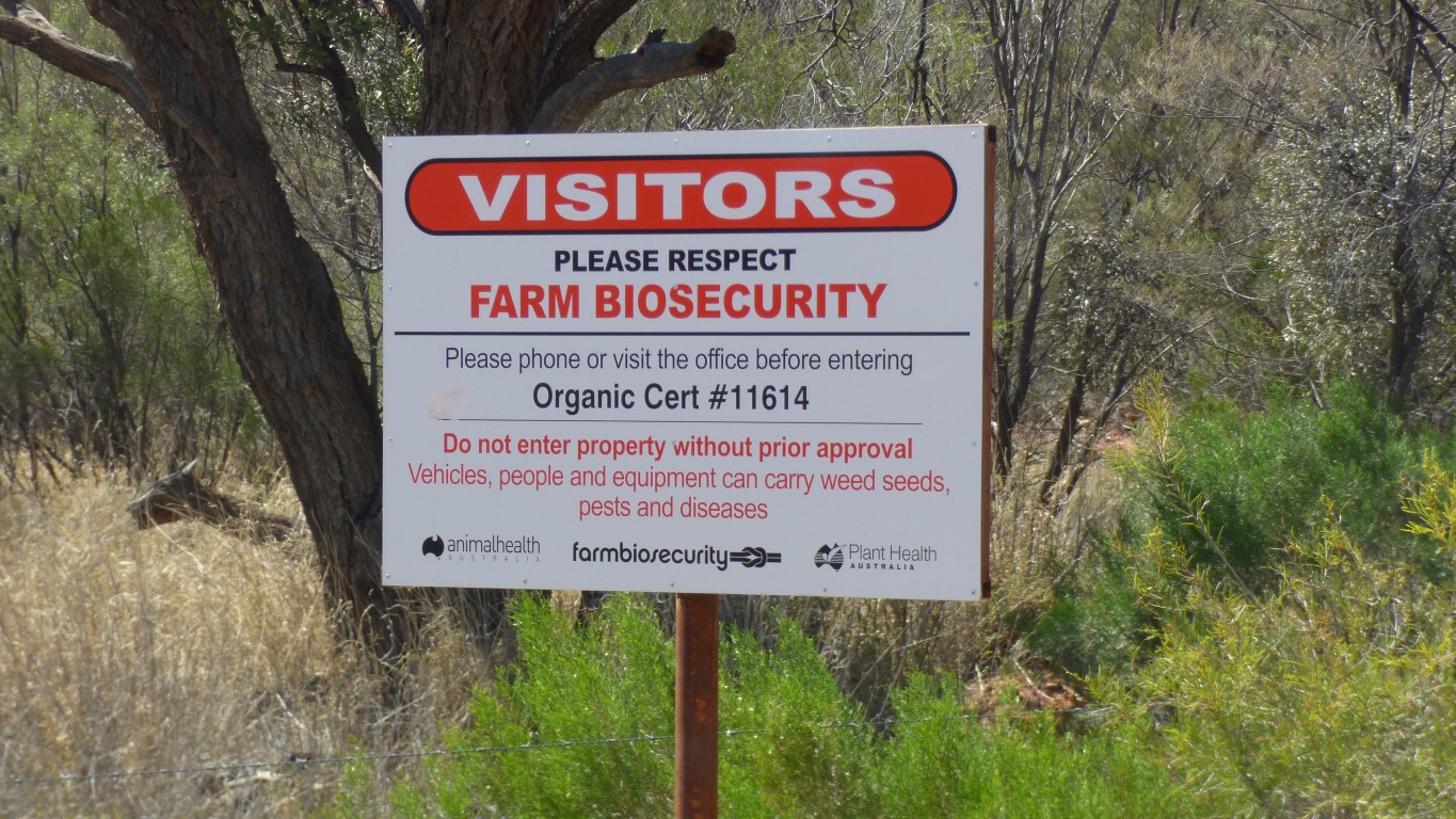
Their store is closed. And "phone before entering" signs at the gate.
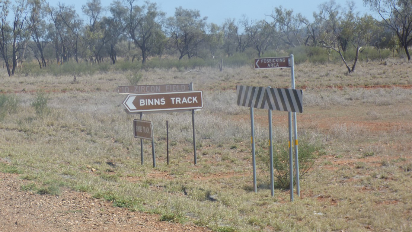
Plus an old sign pointing NE along the Binns Track to "Crater 2km".
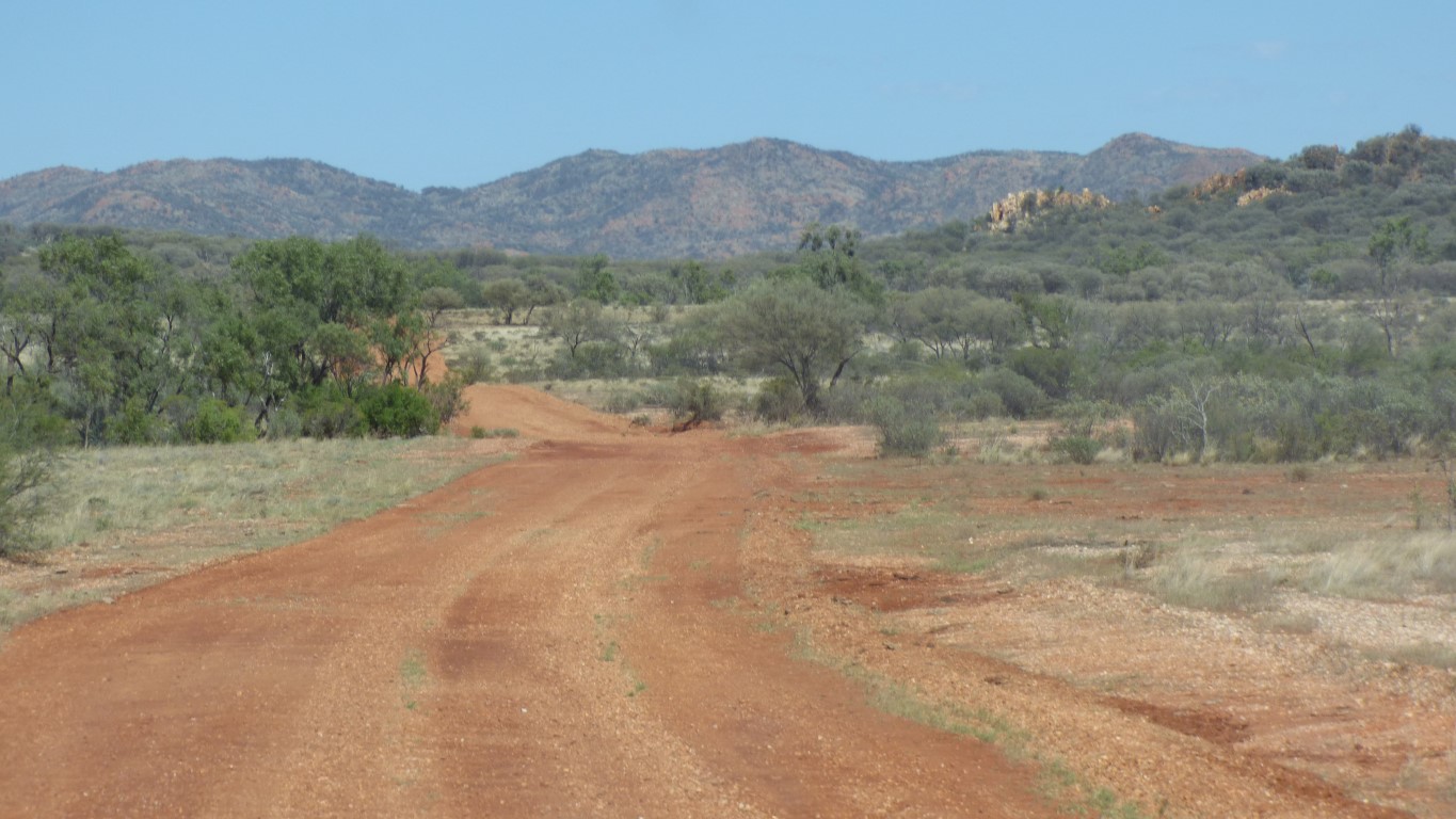
A gate, and another almost illegible sign saying "Crater". The driveable track leads to the Boxhole Meteorite Crater. At -22.613,135.195 Nearly 2km from the gate.
This is the camera working its magic on a panorama. If only I could remember how ....
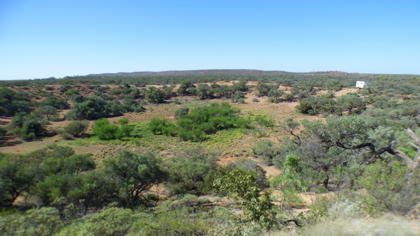
The green patch in the middle of the crater is characteristic of a meteorite crater.
At least in the few I've seen.
Something about how the earth is heated and deformed and cracked by the meteorite impact.
The crater looks large enough for someone to have said "its the world's nth largest".
And we wonder, as we are wont to do, whether the small rock we picked up is a bit more dense than all the others. And where the meteorite came from.
We'll do some homework when next we have internet.
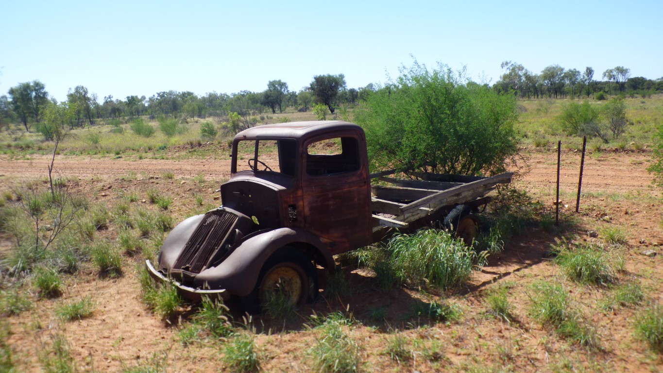
Surprised it still has wheels. We've passed a couple of modern 4wds in the sort of awkward, squashed, bottom upwards, pose resulting from rolling over. Now without their wheels.
This truck looks like it just sort of became tired. If only it could tell us its stories.
We turned west.
Our nemesis.
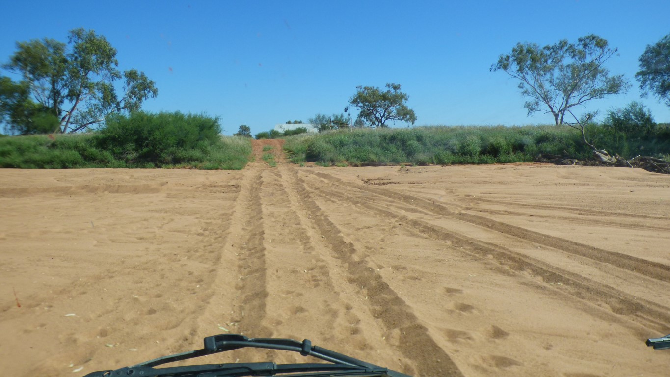
Looks like the last vehicle through had spinning wheels. The scallops in the track provide a clue.
We didn't quite make it to the other side before the sand brought us to a slow, grinding, unavoidable, inexorable, full stop.
Drop tyre pressures a bit more. And on we went.
Careful not to become too casual.
The track leads to McDonald Downs.
But more numerous.
The Mac and Rose Chalmers Conservation Reserve.
Their recent (around 2004) grave is in the reserve. A favourite picnic spot for them and children.
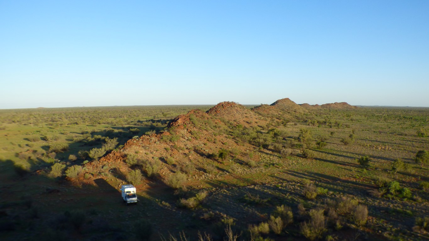
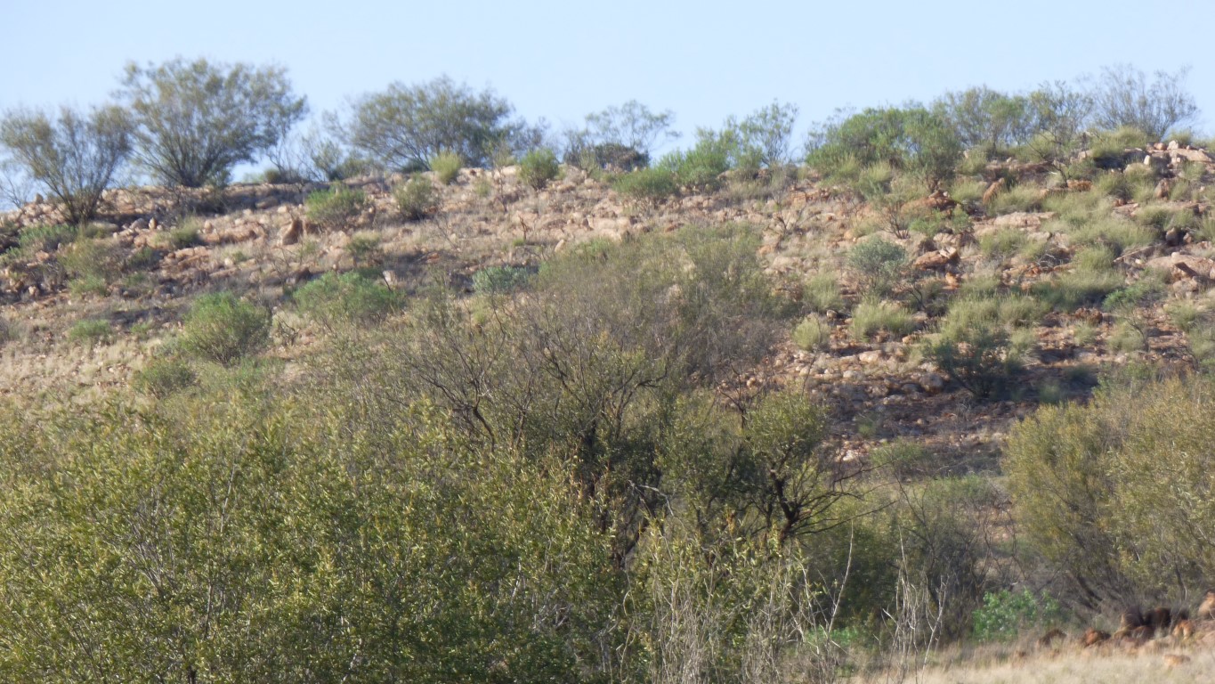
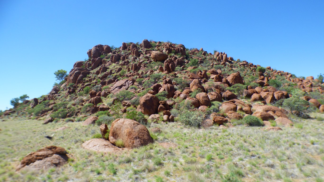
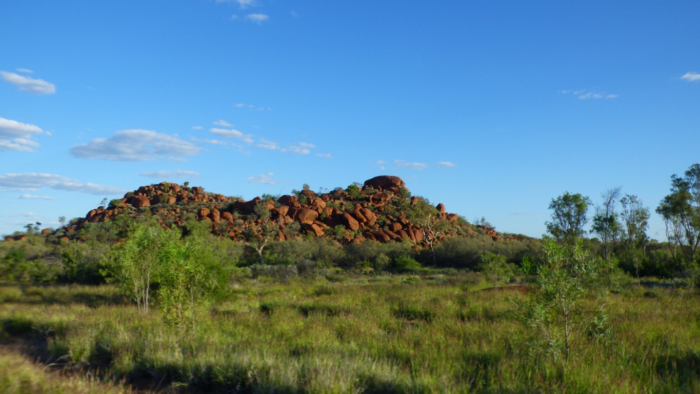
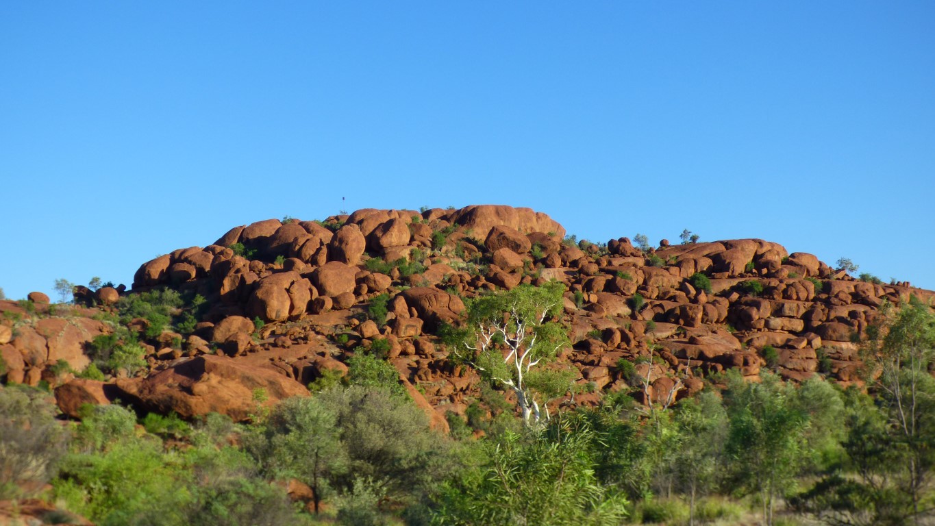
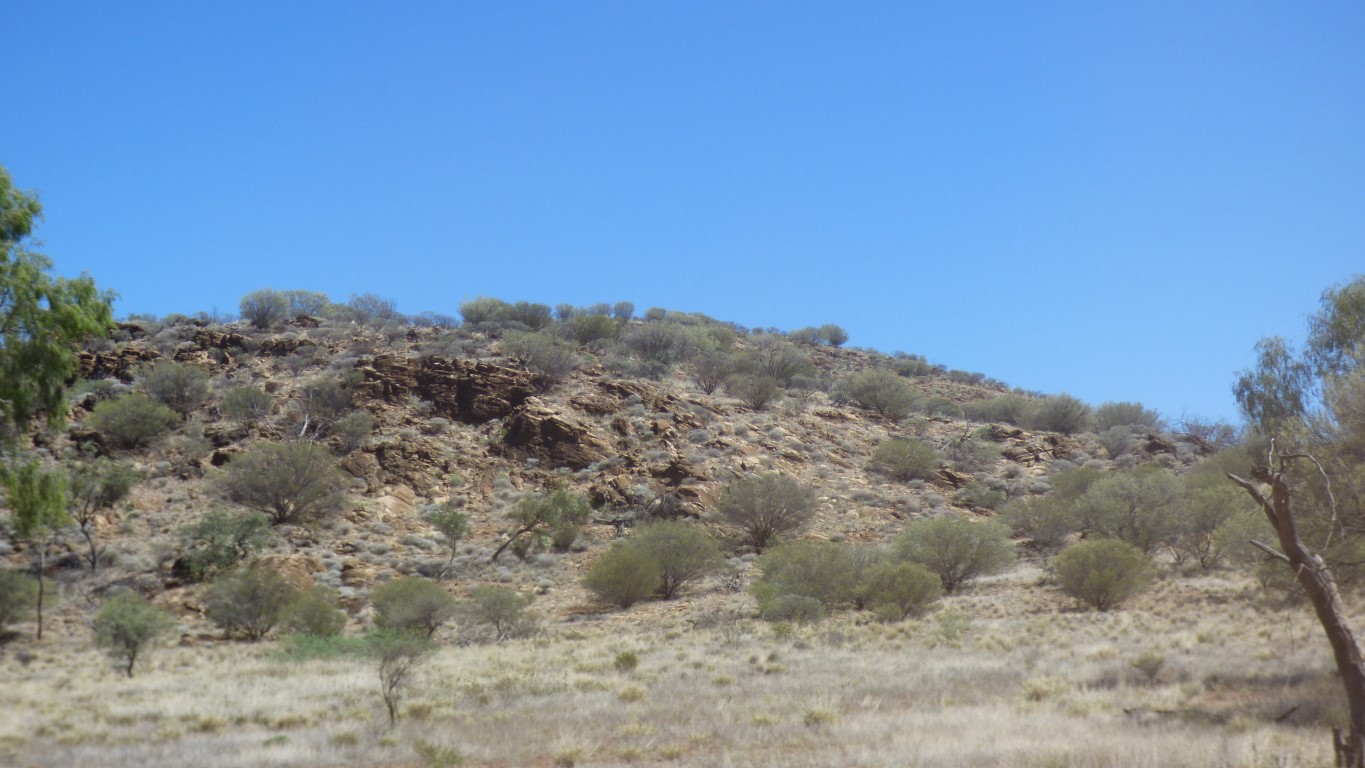
This is just one of the hills. Not just a single rock.
Definitely granite (said with utmost confidence ....). There's lots of it, all around. We really weren't too sure what to expect.
Its very coarse grained (slow cooled). Very different to last night's fine grain at Black Hill. Possibly part of why its eroded differently.
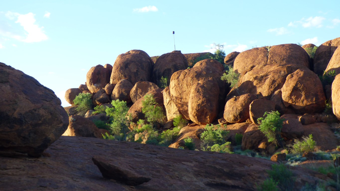
We'll climb to the high point (not this hill) for sunset. Someone has planted a stick at the top to show us which to climb.
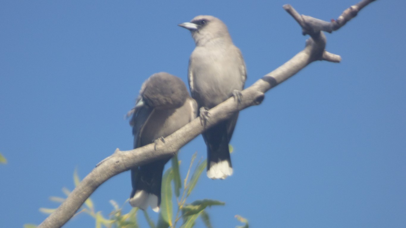
We heard them for quite a while before we saw them. Half a dozen pairs and a few stragglers.
We'll walk to the top. Not this one, the rock behind me.
Its about a km. Thought we'd better carry some water. And the gps. And the satphone. And torches. And ...... the camera.
We lost the cairns that mark the track to the top as it seemed there were some leading all the way round that suddenly stopped, without going up the last bit.
Just to confuse, someone had placed a less distinctive cairn on the high point of a lesser rock off to our left.
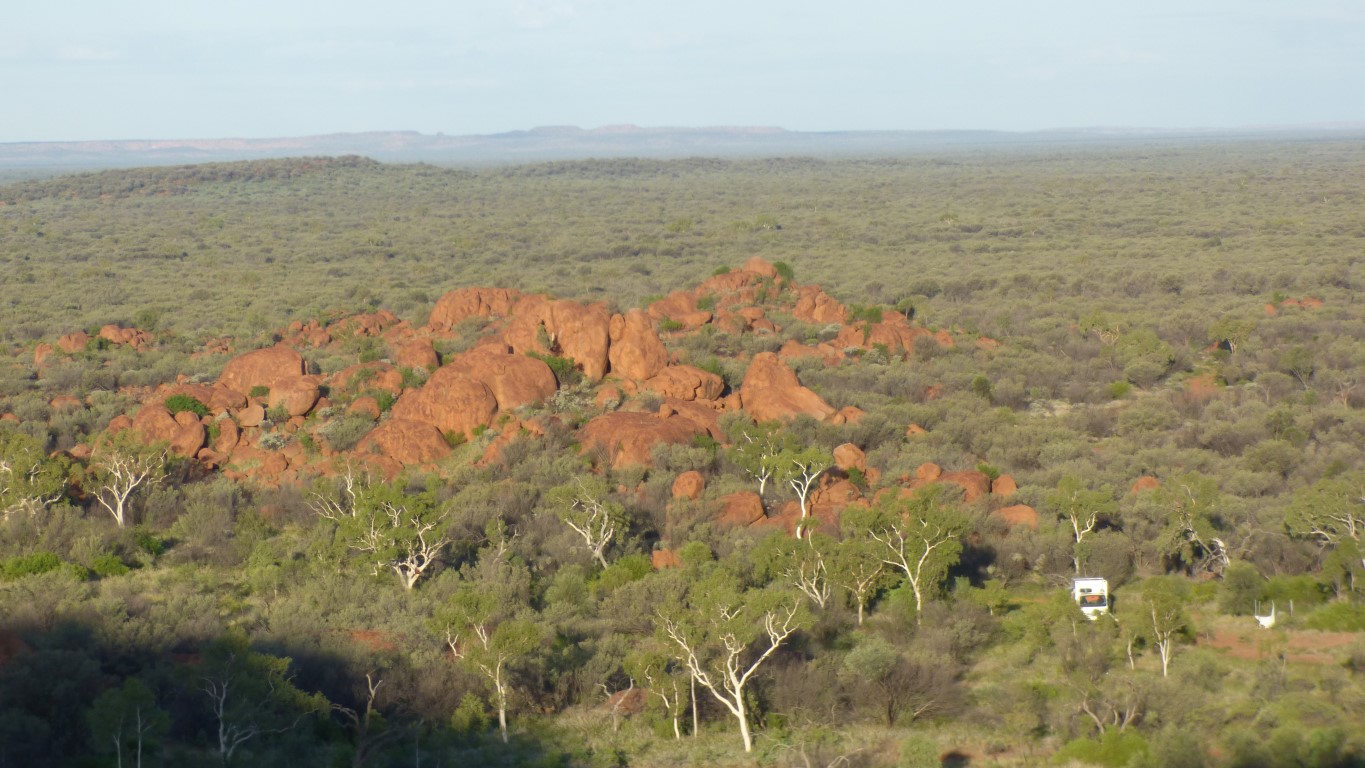
Truck visible in the foreground.
Now just the minor challenge of finding our way back ..... that's what the gps is for!
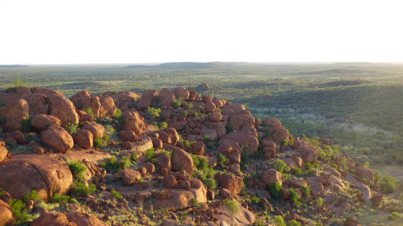

We had to find our way back before it gets dark.
For those with sharp eyes the patch of blue at top right hides a fly. They followed us. There were lots of them.
For those with even sharper eyes the post on top of the rock is about centre of the photo.
This is very much coarser. Order of magnitude (more than 10x) bigger crystals.
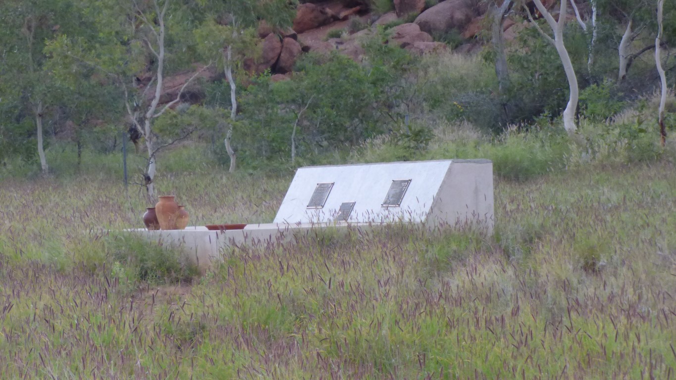
A simple grave rather than an ornate tomb such as we saw in Asia.
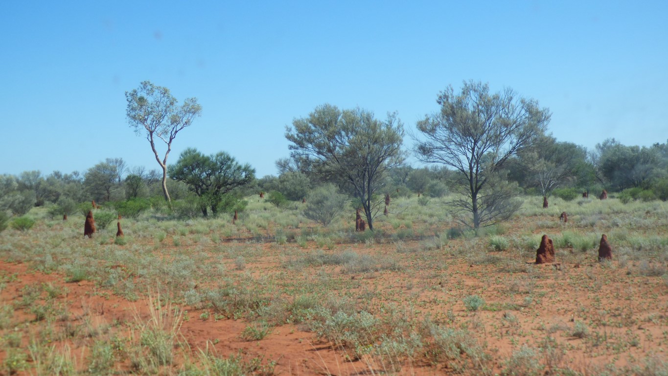
We think we are miles from anywhere. But people live and work here.
A thanks to their son for creating the conservation area.
Its been a bit warmer today but I think we'll sleep well tonight.
The average max and min temperatures fall during April. May is usually considered the beginning of "the season".
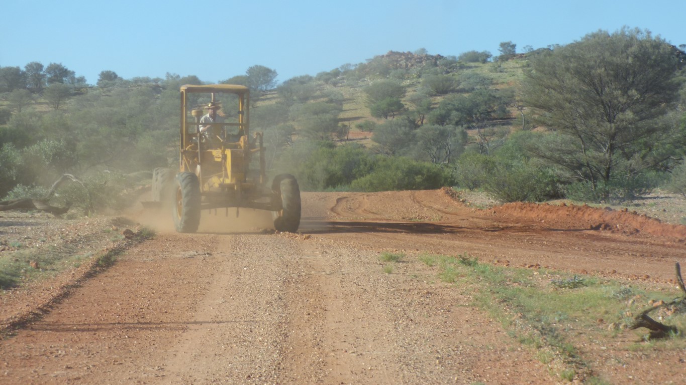
The grader is open to the dust. As they all were before closed cabs and aircon.
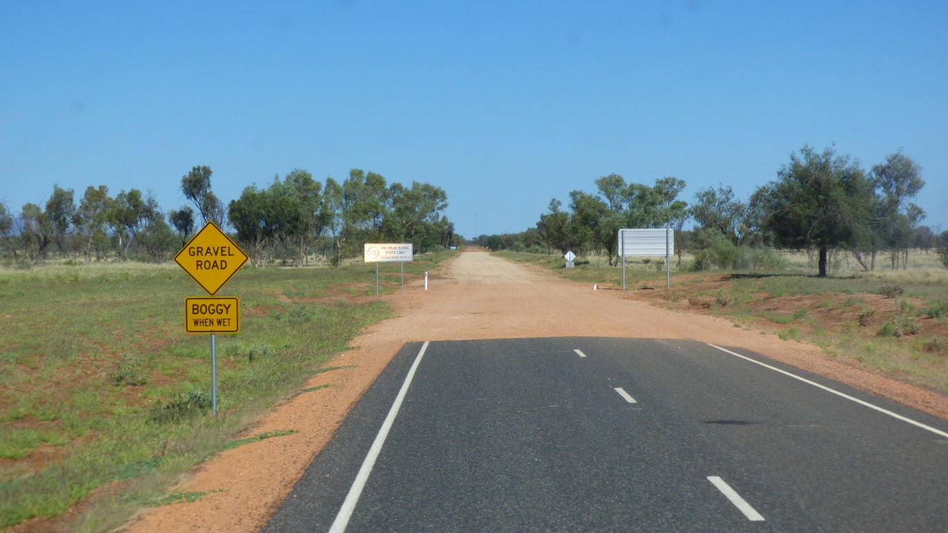
No way of knowing if the road is open or closed. Just boggy or not boggy.
Though we passed the Hart Range police station in the trees.
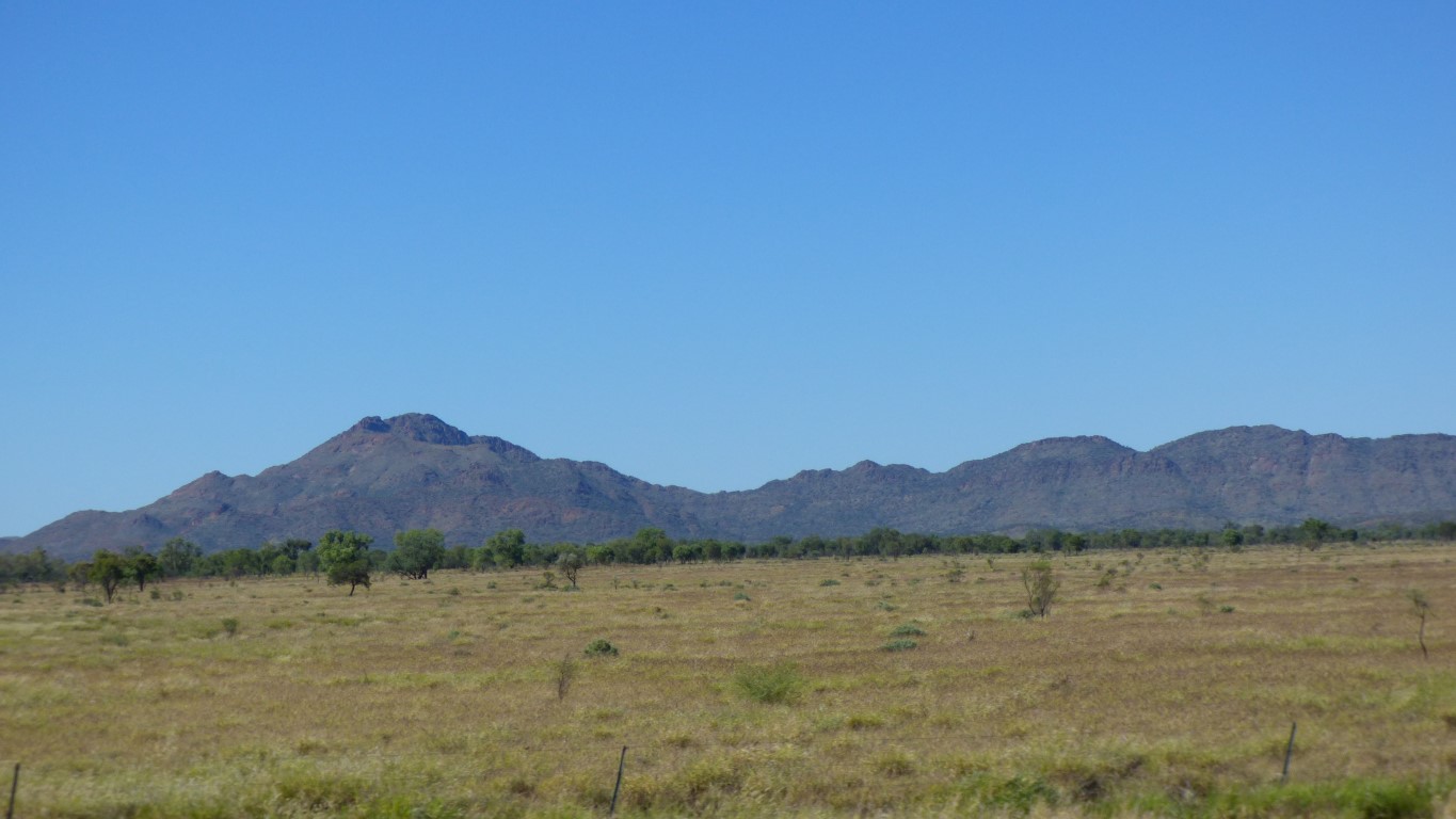
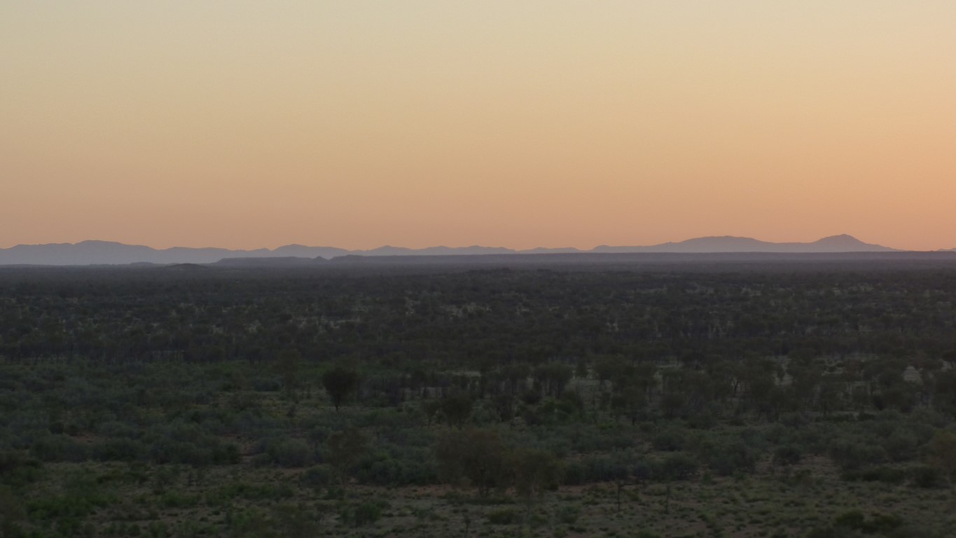
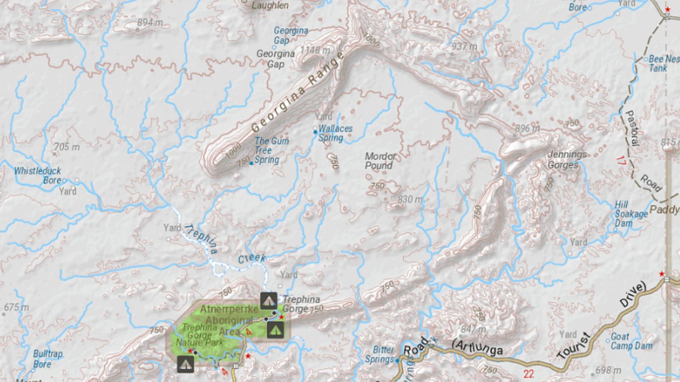
The peaks in the range are around 1,000m, we are around 450m.
We know it as Pinnacles Road. We'll follow it so we see a bit of the East McDonnell Range.
We guess its called the Pinnacles Road for a reason. Maybe that's a pinnacle on the right. Perhaps not, we are still on Alatyeye Road which becomes Pinnacles Road.
However, its also a line of quartz that crosses the road.
Very reminiscent of the "wall of China" near Hall's Creek in the Kimberley.
That's where we are headed. But allow a bit of reminiscing. Perhaps even some nostalgia.
I passed through there on a circuit of Australia in 1978. An ex Sydney taxi. Two speed automatic Holden Kingswood. Apparently important was that it had a 186 motor.
Mate, Tim, and I, had tents, 20 litres of water, an esky, a billy and a cast iron frying pan (which I still have and took to Europe in the truck). Now I am older and the truck has facilities I never dreamed of then.
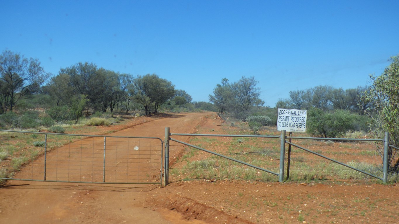
We can pass through the Aborginal Land as long as we don't leave the road. Just a short distance across the Alatyeye Aboriginal Area.
All a bit odd. We are leaving the Alkwert Aboriginal Area. On the map similar boundaries along the road edge. But no signs. In the middle of the Allkwert Area we passed a designated fossicking area (gold or zircons?).
Alice Springs was a much more desirable location, which prospered.
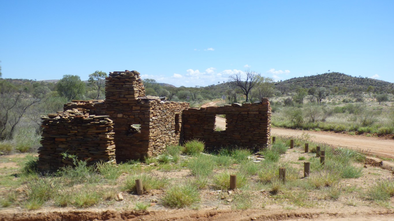
There were four buildings at the crossroads. You guessed it, one was a pub.
This was a bakehouse. Occupied until 1980.
But first a quick afternoon stroll through the gorge. A leisurely 500m.
Though not at all obvious.
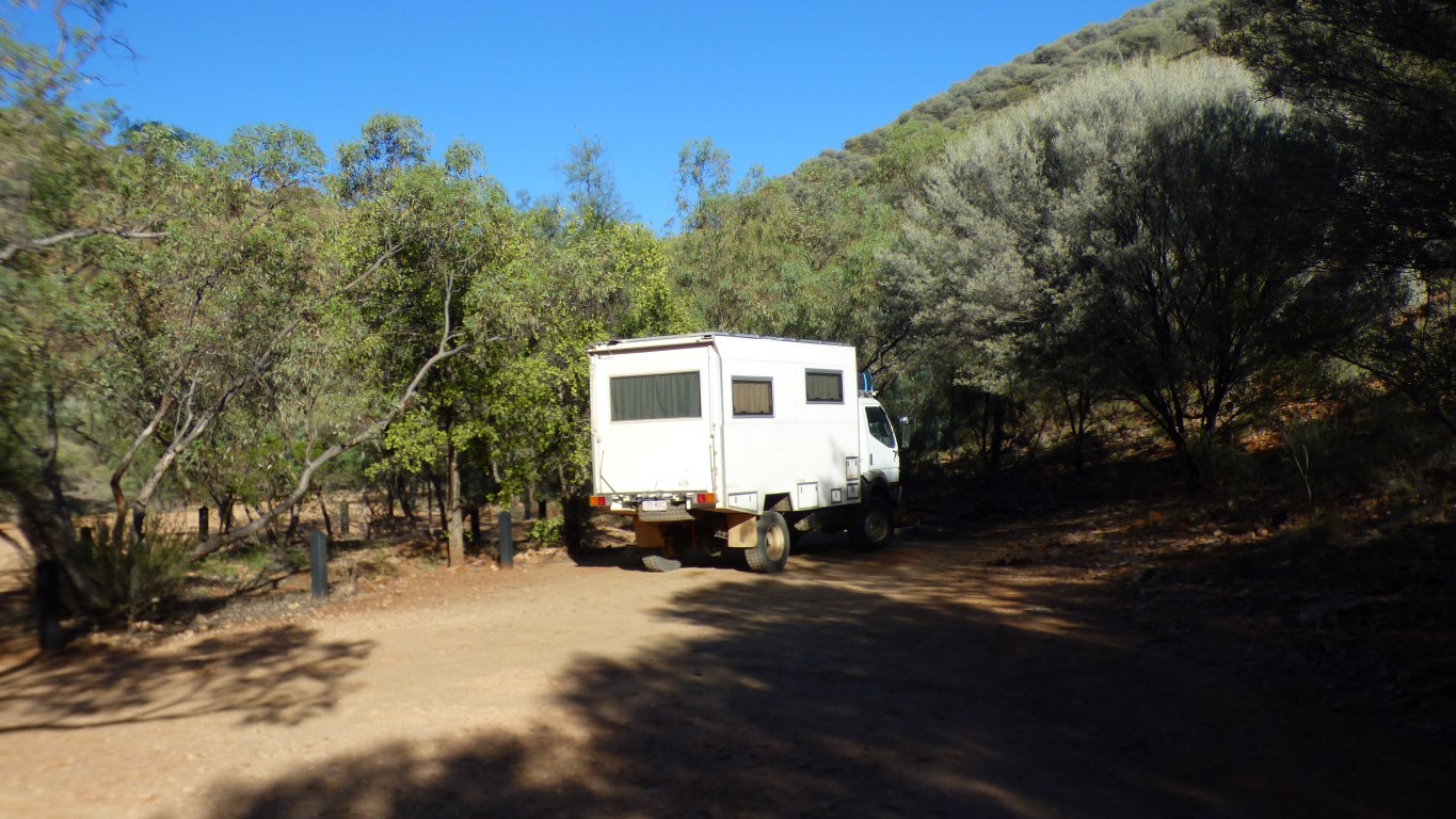
Northern Territory National Parks have, sensibly (to us) not discovered the internet yet. They still use the pay on arrival envelopes at Trephina Gorge. Which suits us as we haven't had internet since Boulia.
There are loos, and, all importantly, water. $3.30 per person per night.
Instead of "occ health and safety" warnings about water quality, and don't drink, which are common in eastern states national parks, we have Bee-aware. The signs explain that European Bees hide in the taps, so run some water to drive the bees out before drinking.
A welcoming sort of ambience.
Plus .... after several days of more flies than we could possibly imagine, that homed in on us within milliseconds of stopping, created an incessant, unwelcome, hum, crawling on any exposed skin and crevice, and which no amount of cursing would have them cease (though at least the fly screens worked) ...... just an occasional, tolerable, fly.
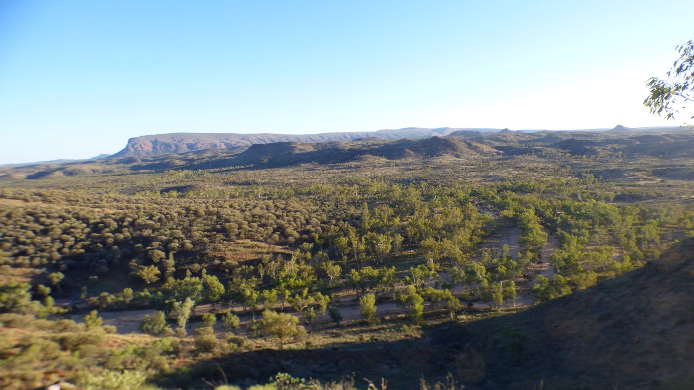
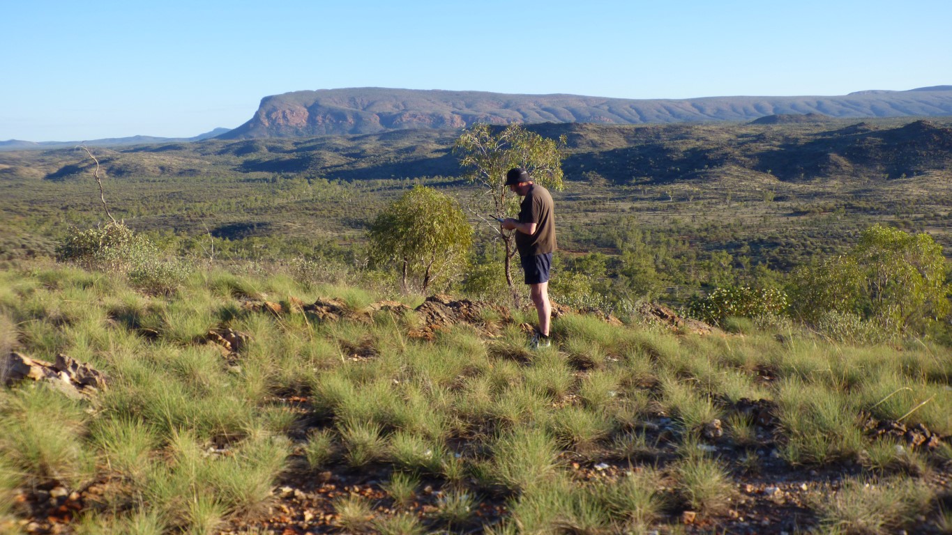
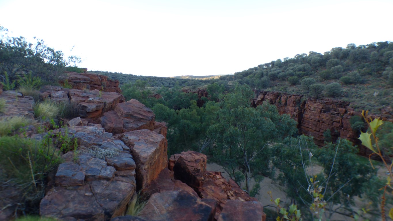
The "Panorama Track" beckoned. A couple of km. We set off after breakfast. In the cool of the morning.
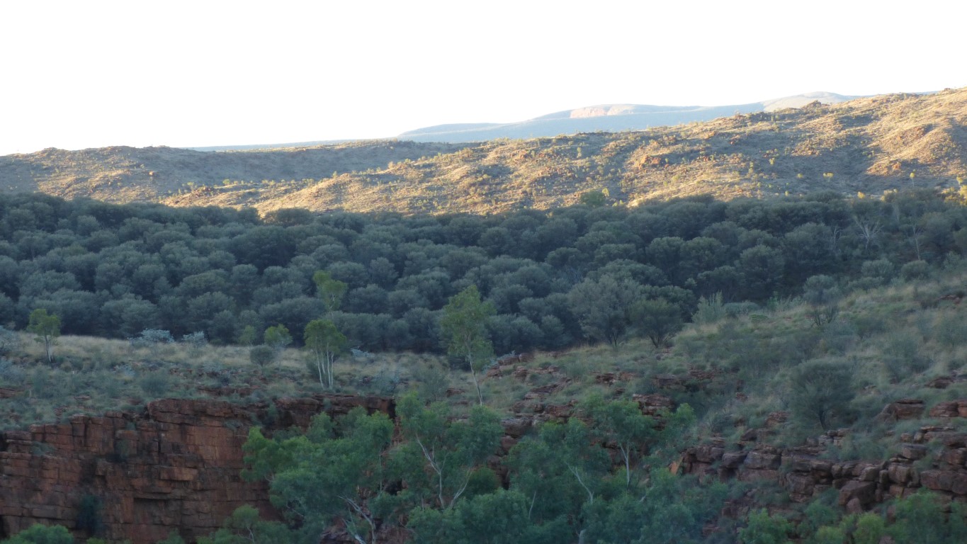
We think this is Mordor Pound to the north of the gorge. Its still early so Saren and the orcs are asleep.
We hope.
There's a fence, and a closed gate, to make us feel safe.
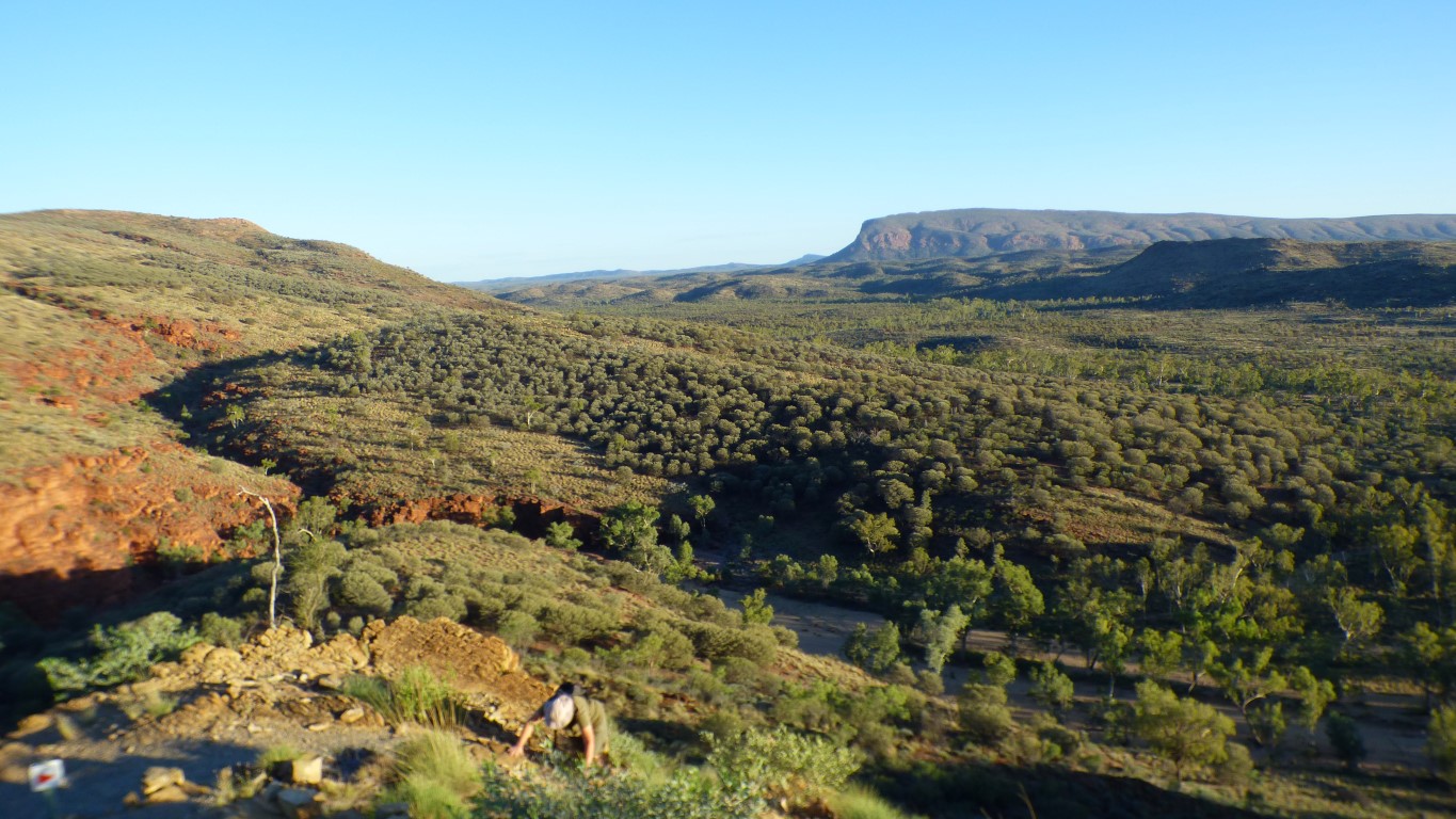
We had correctly surmised that "panorama" implied "uphill" and were not disappointed.
Cleared the lungs of sedentary Brisbane air!
If we are to walk in the Pilbara, Kimberley, and Bungle Bungles we need to be a bit fitter.
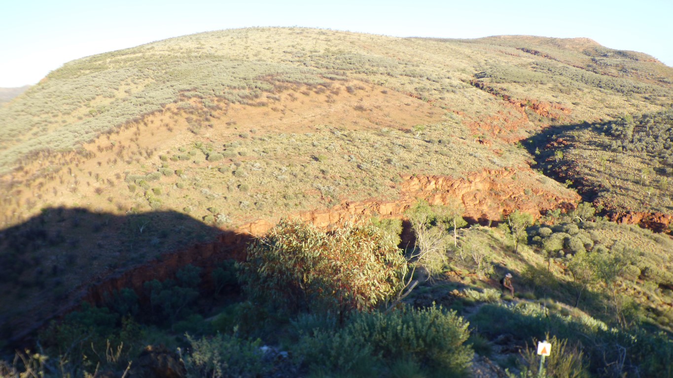
Down to the left on our left, down to the right on our right.
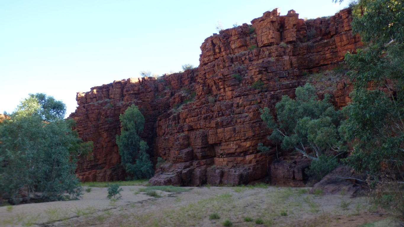
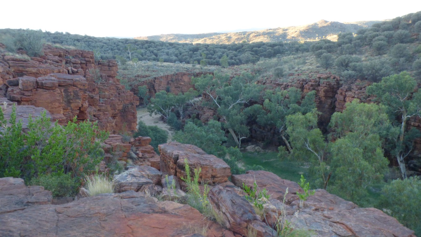
Tried to photograph it yesterday while inside the gorge, but the gorge also has a (horizontal) curve in it.
Gorges are hard to photograph.
No reception at the campsite. Which is hardly surprising as there's a hill in the way.
The new battery for the satphone, that allows the phone to sit in a cradle with external aerial, is a dead loss imitation. Original are no longer available.
It doesn't take charge, and what little it takes it doesn't hold. So as soon as the phone tries to transmit the volts drop and the phone turns off. The charger within the phone isn't quick enough to switch on. The phone doesn't work without a battery. Durrrrrr.
Its nearly 10 years since I bought the phone. I chose a high capacity battery, which now doesn't fit the cradle I bought last year. The new battery is smaller, and fits the cradle. But is of course useless. The old battery is still good. As demonstrated here. I'll modify the cradle (with a knife and a chisel and a hacksaw and a hammer and some ingenuity).
The hat came from a sally army op shop, and doesn't help with batteries. The rocks are a bit sharp to sit on, which also doesn't help.
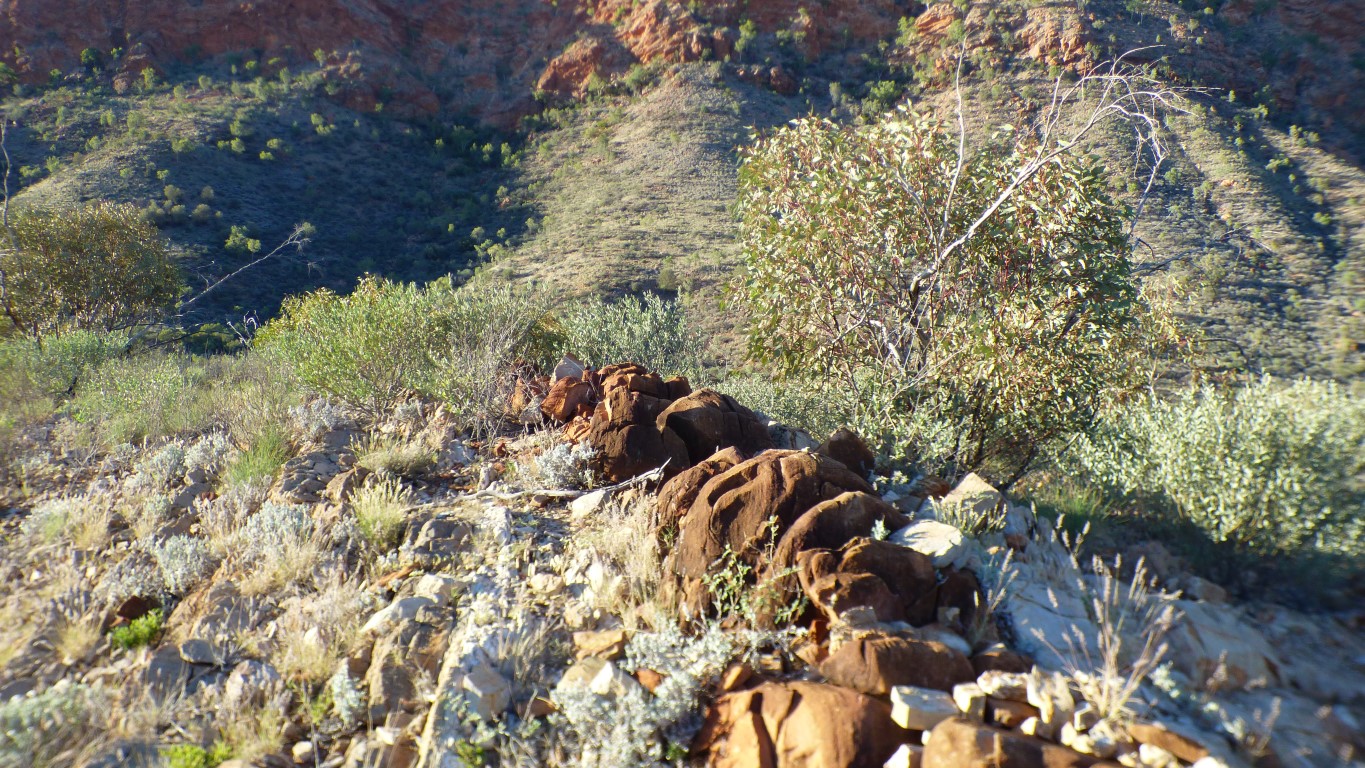
A little line of granite in the quartzite (?).
Just guessing, the molten stuff is pushed upwards from within the earth causing the sedimentary stuff layed down in the once shallow sea to bend and become hills.
Occasionally the molten stuff oozes out through cracks and in this case is granite. I get mixed up between extrusions and intrusions.
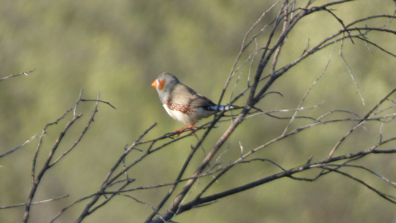
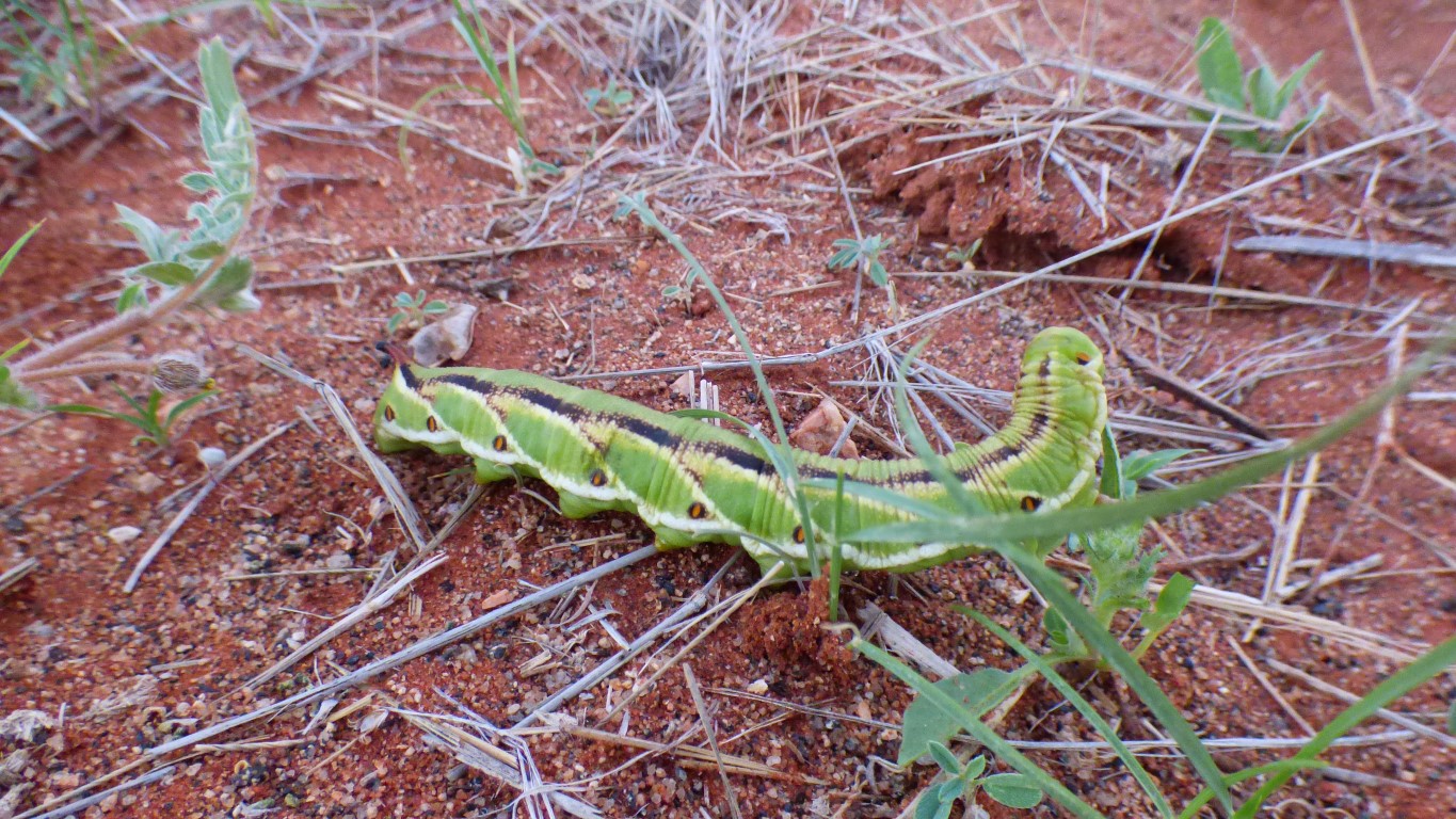
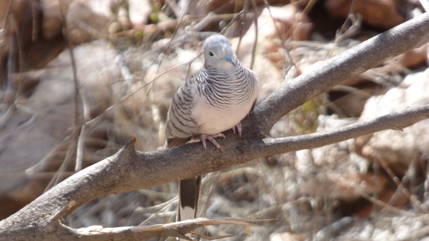
This solitary character posed in the early morning sun for us.
But we'd better be careful what we wish for ...
We've decided to have another rest day tomorrow. That makes two. We'll pass through Alice Springs on Sunday. Hopefully supermarket open. And somewhere to print a permit.
just an area enclosed by natural fences, with limited access.
There are more gorges to the east of Trephina Gorge, fed by creeks rising in the pound.
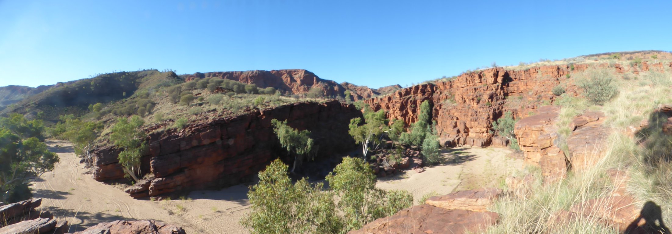
It bends a little, but of course the 180 degree photo distorts.
The curved bedding planes are visible to me, and also how the gorge has cut through the side of the hill.