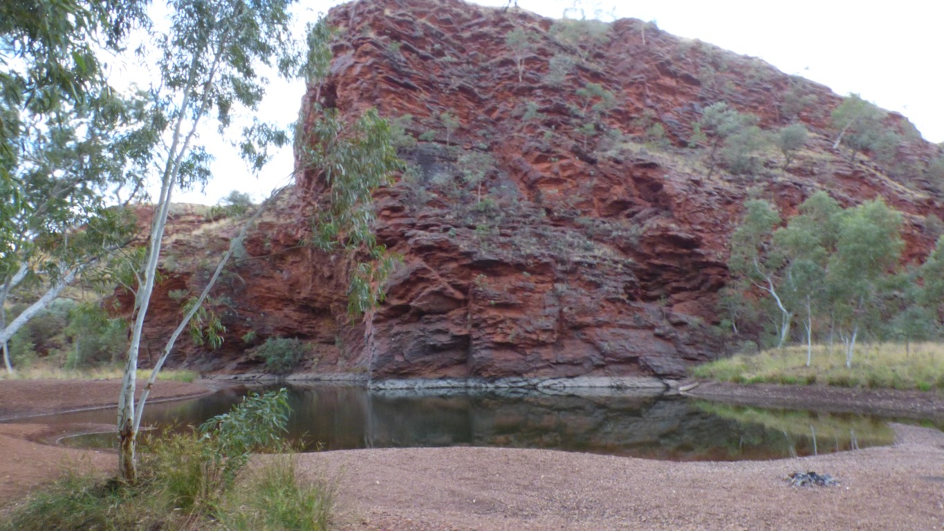
Some camps are simply stops along the way. Some camps are destinations. Kalgan Pool suited our idea of a destination.
But all part of a journey.
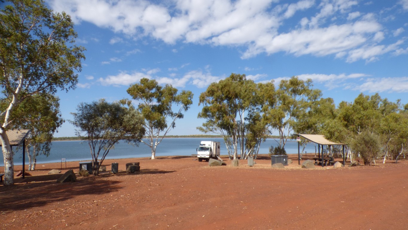
Pelicans, swans, coots, bee-eaters, etc.
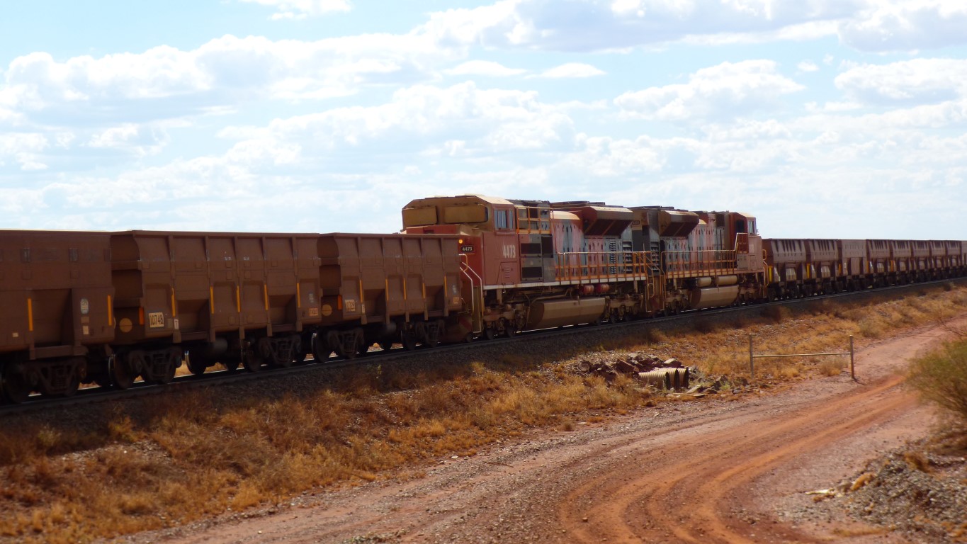
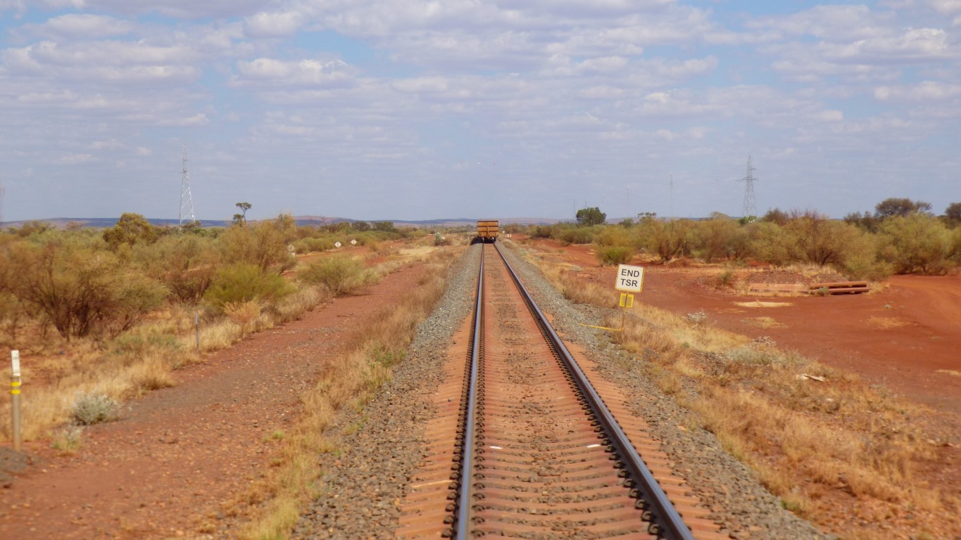
As we approached the crossing so did a train. Trains are bigger than trucks, so we stopped and waited. We saw the train before the red lights started flashing but it took us a few moments before we realised it was probably more than a km long.
Two locos at the front, and two more in the middle.
This train is empty, on its way to the mine to be filled.
About 2.7 km long with 268 ore cars. Each car carries 130-138 tonnes of ore. Which means about 33,000 tonnes when full.
About a 24 hour cycle. Someone else can work out how many trains there are.
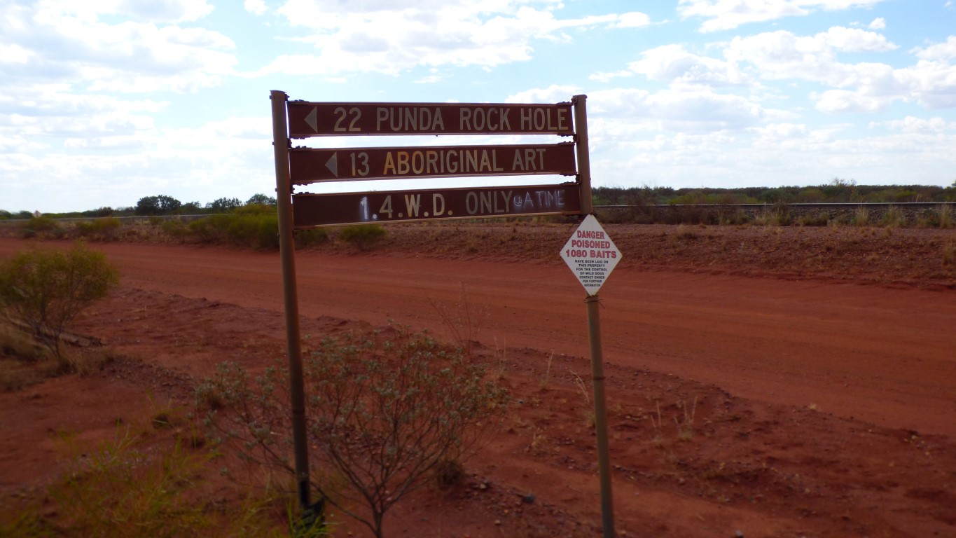
The sign has been doctored. We decided we weren't just one 4wd, we were the one.
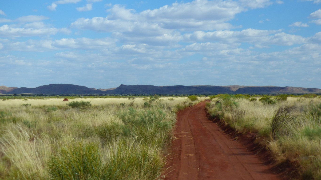
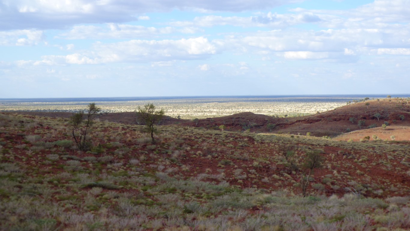
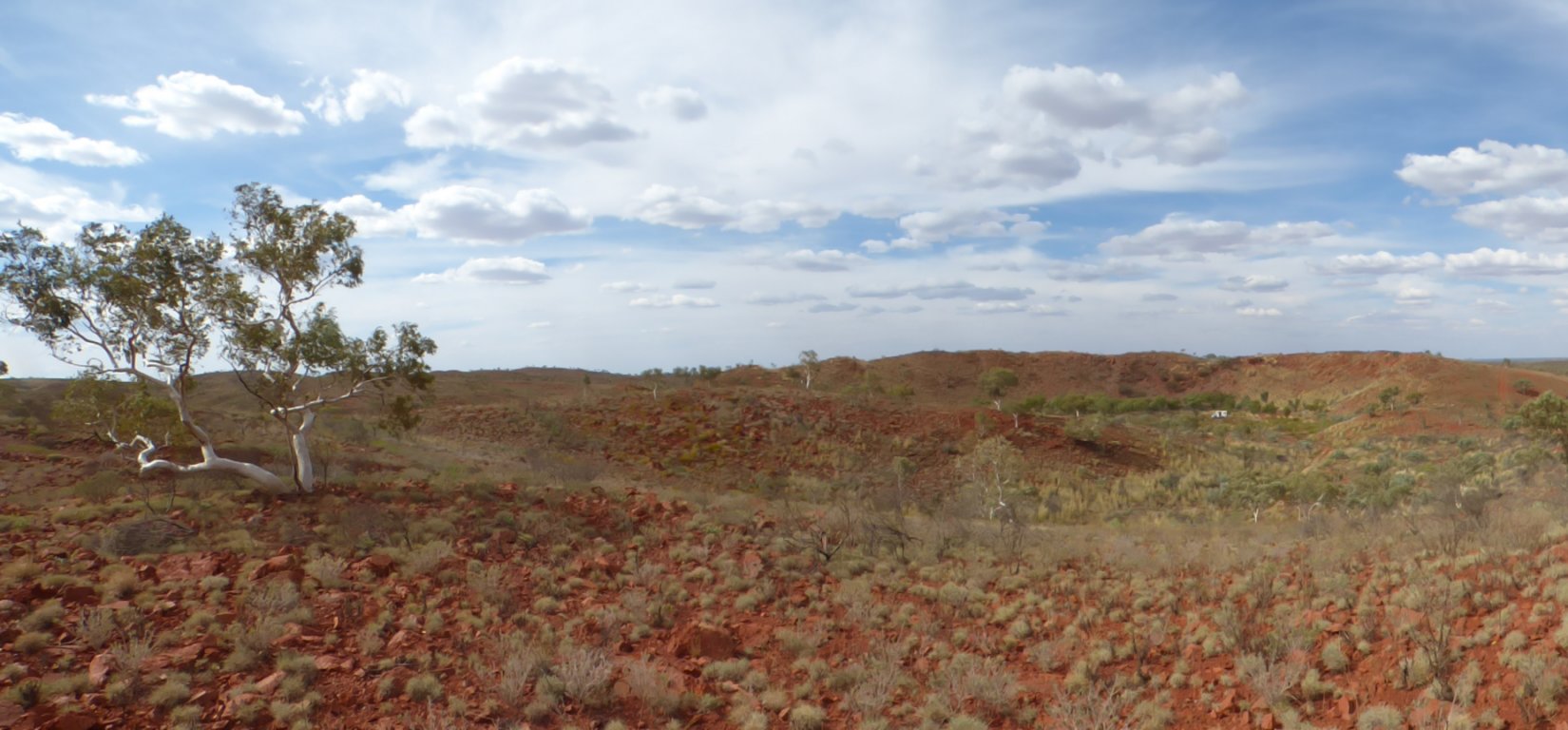
We guessed the pimple to left of centre was where we were headed.
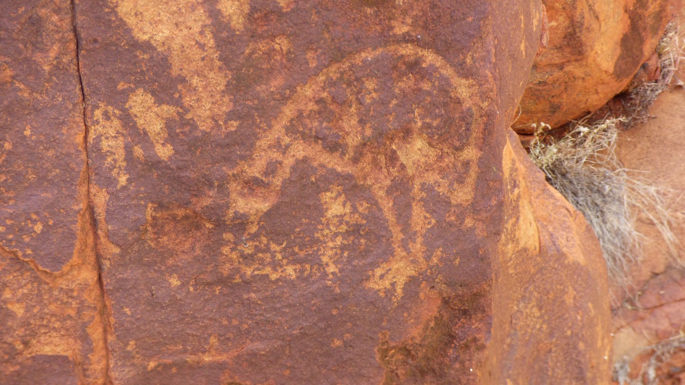
This looks like a couple of goannas.
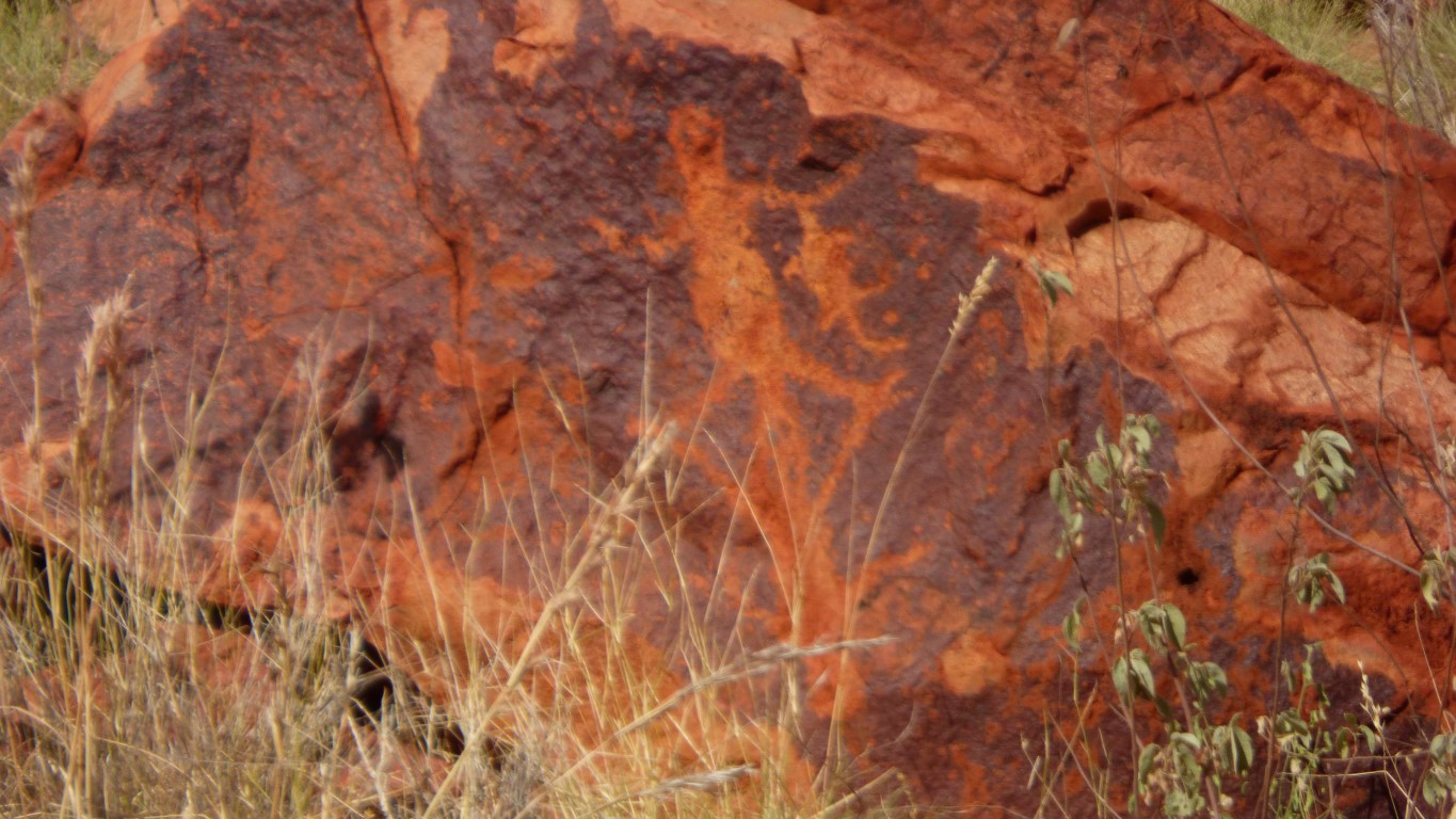
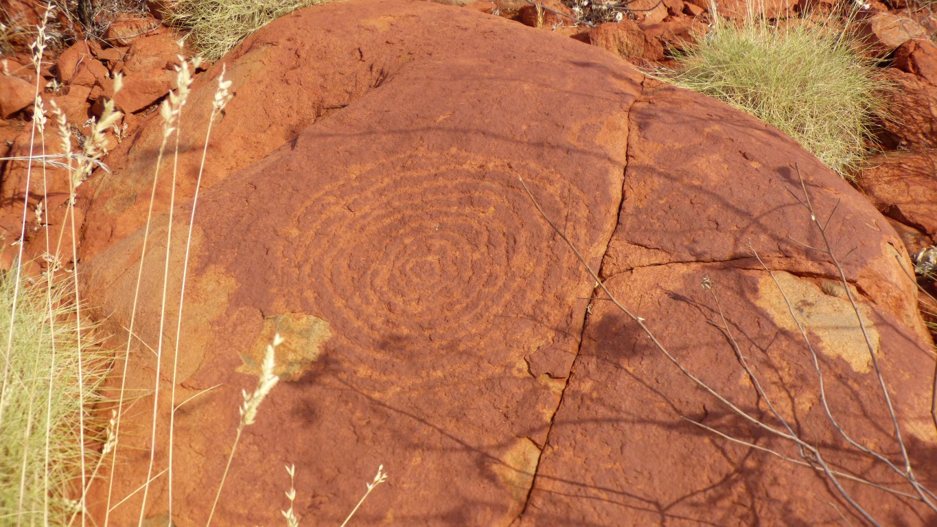
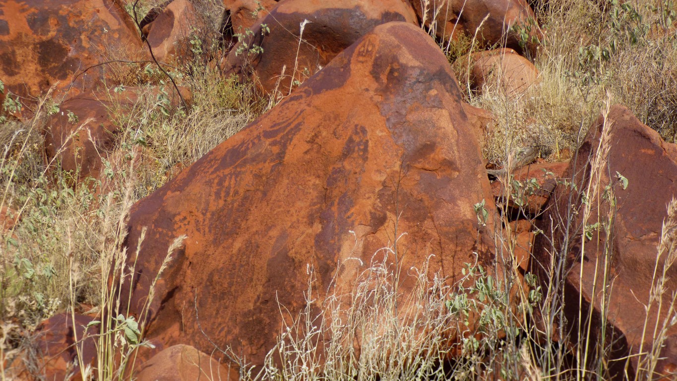
The technique for creating the petroglyphs is common. Tap the rock surface with a stone and the surface is removed.
Sometimes an outline of something, sometimes "coloured in" like in the first pic.
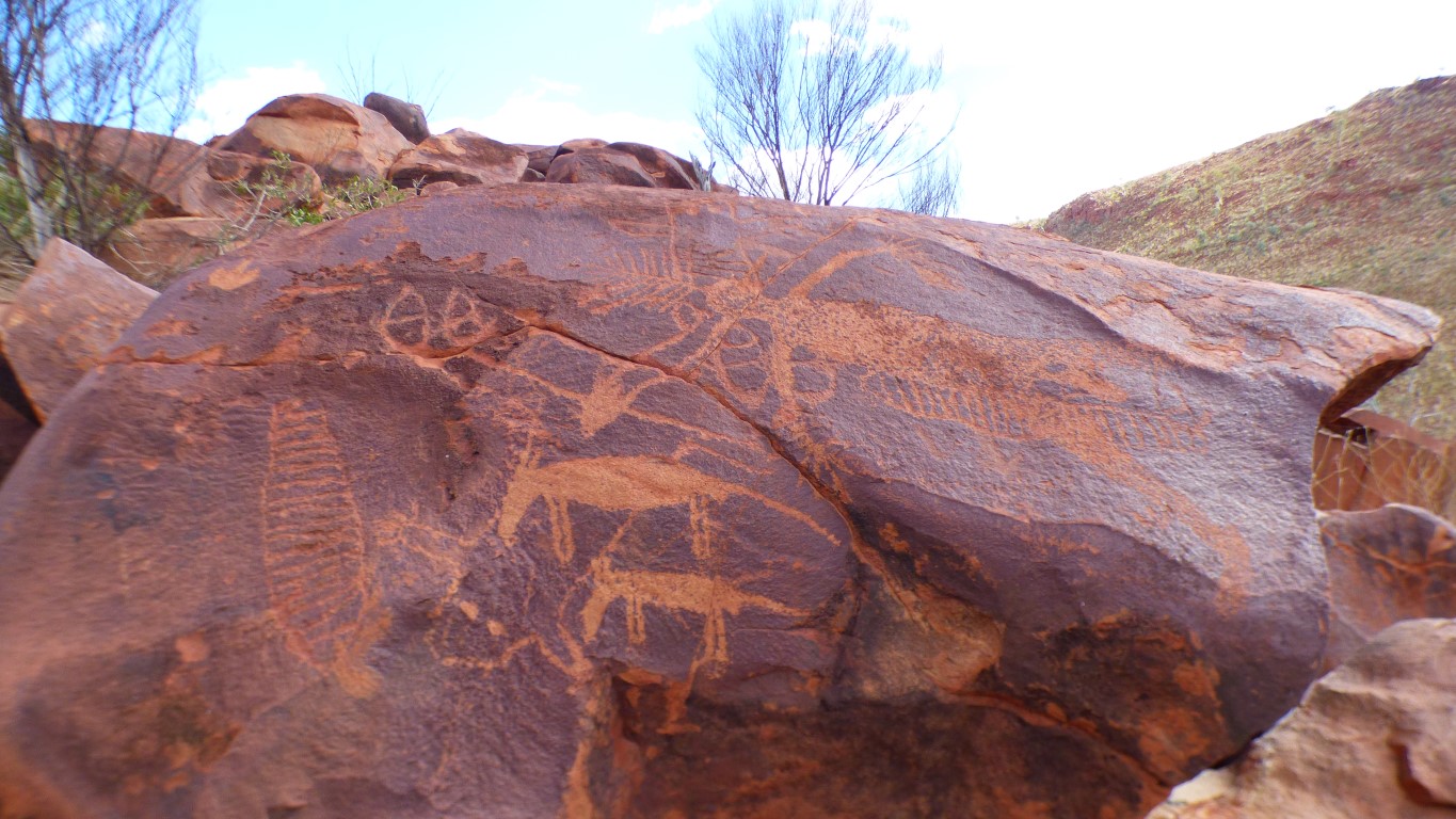
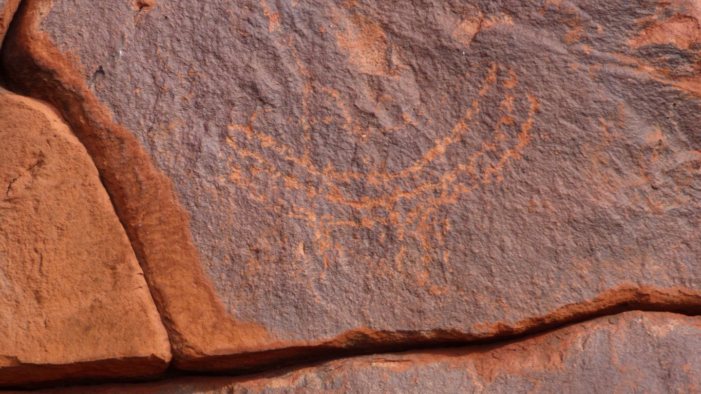
Is that an image of a person we see?
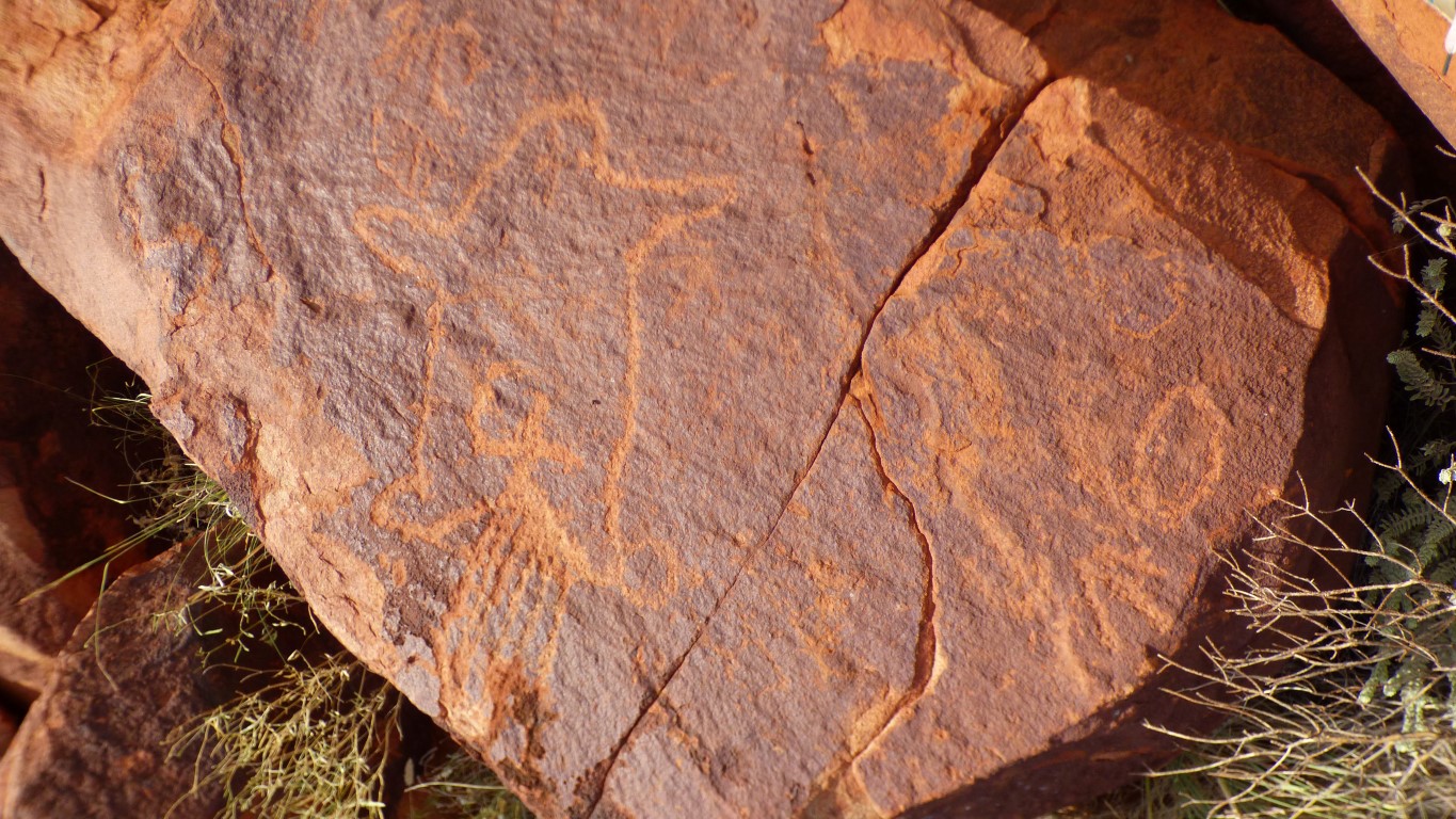
Possibly dingoes. A couple of abstract "eggs". And there are lots of the striped long thin things in the area.
We think this a bit unusual, but are not sufficiently educated to know. Our impression is that images of people are not particularly common.
Like the other image of a person we saw its been drawn over other images.
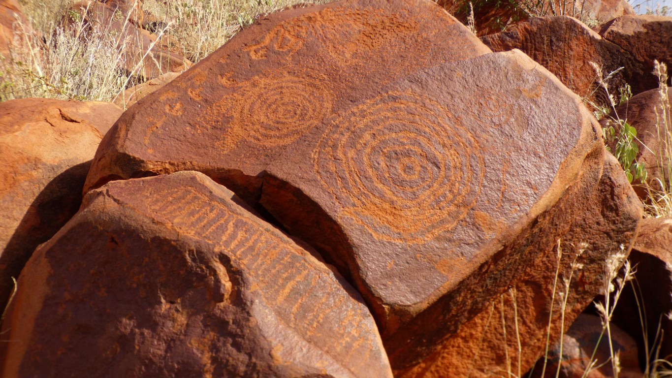
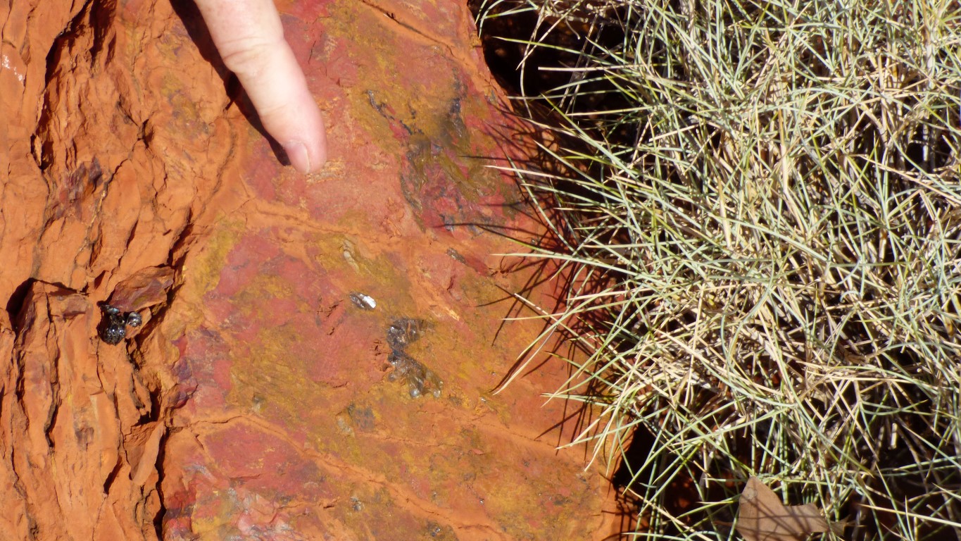
We think the darker brown background colour is "desert varnish". A high manganese dust deposit which has oxidised producing the hard shiny surface that allows and preserves the petroglyphs.
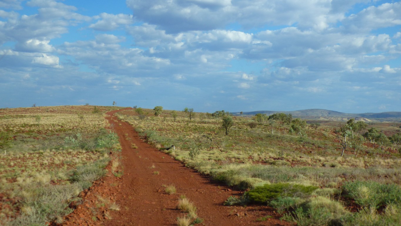
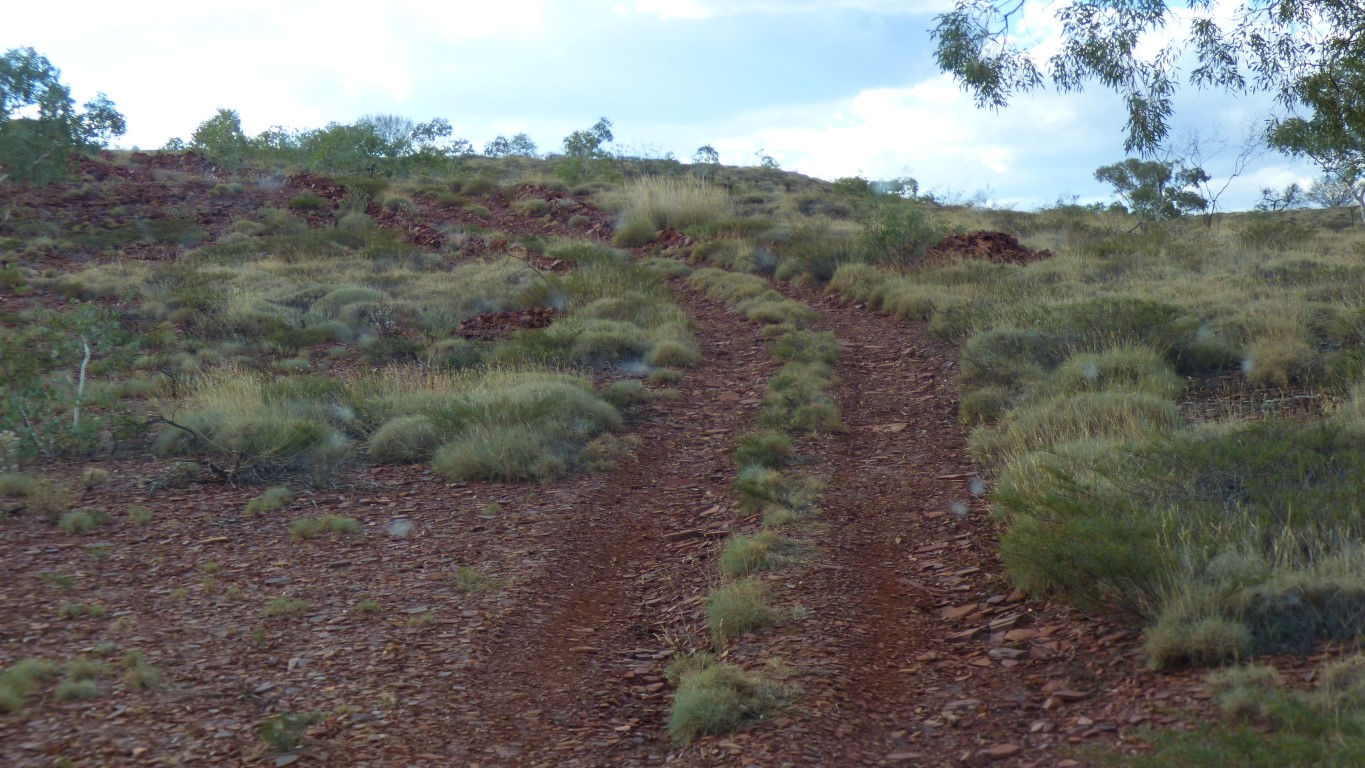
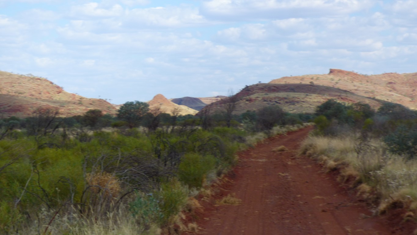
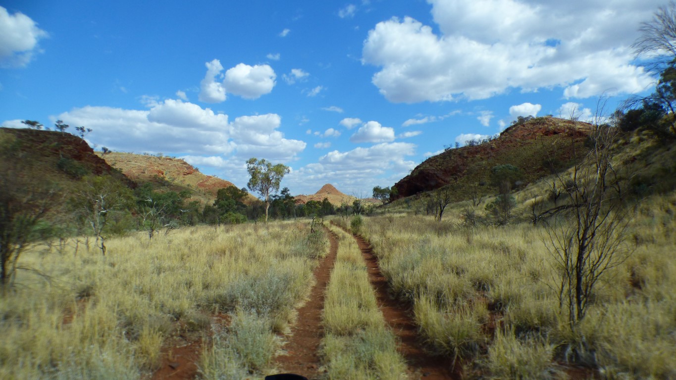
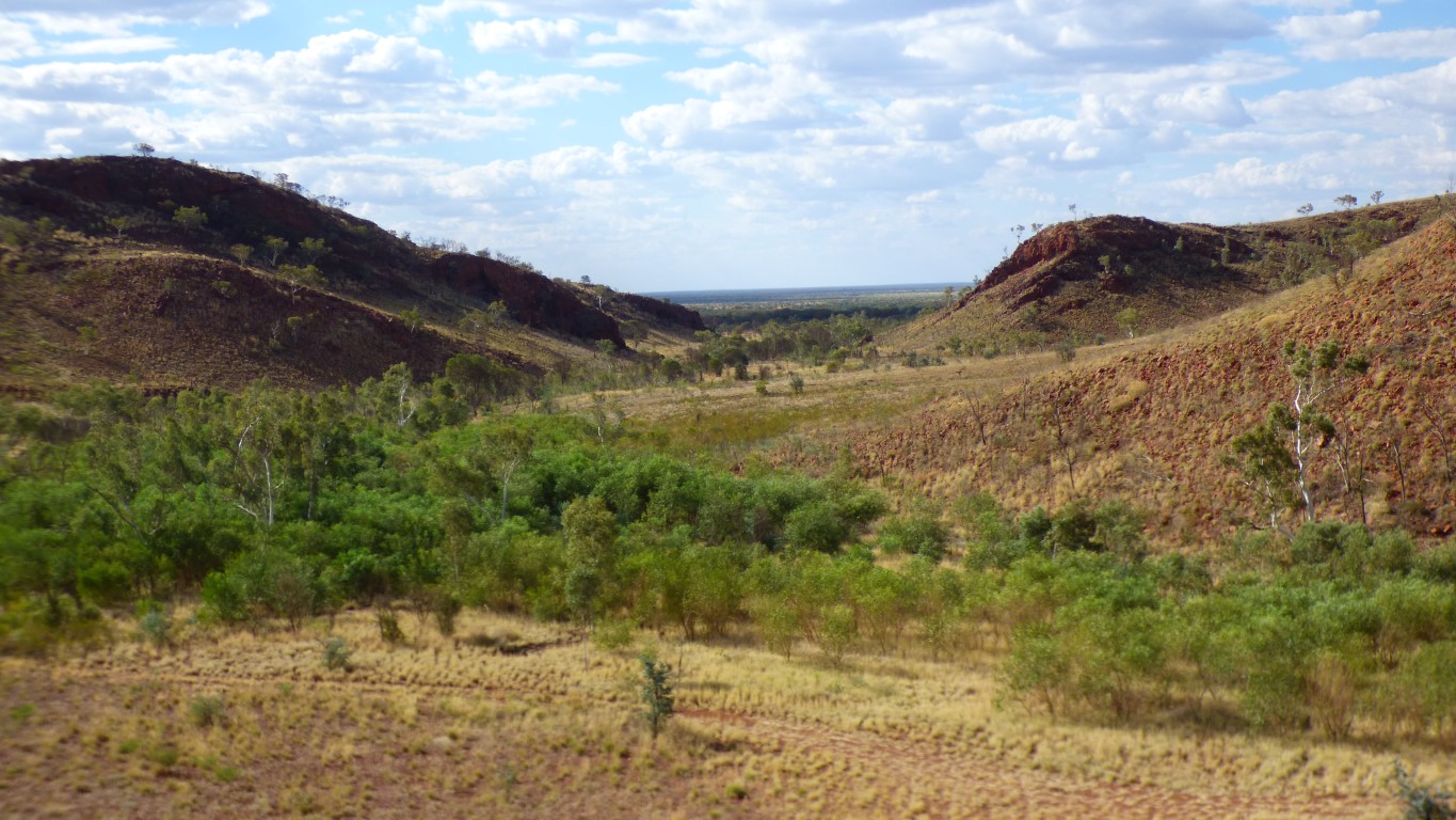
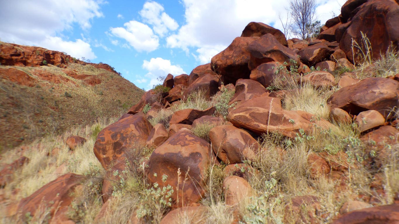
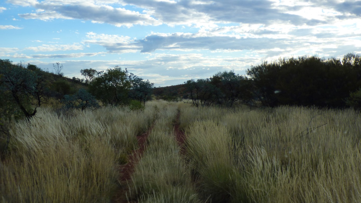
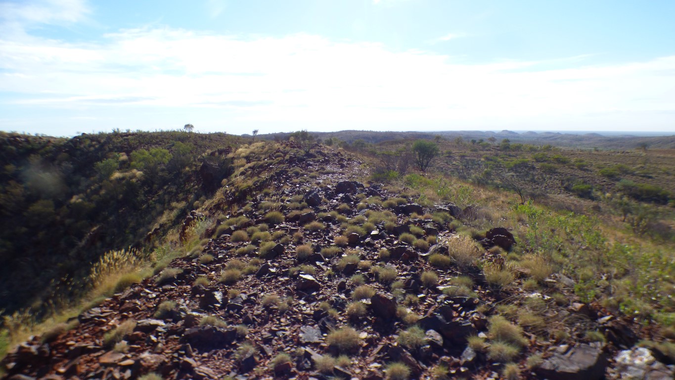
Progress is relatively easy, but slow.
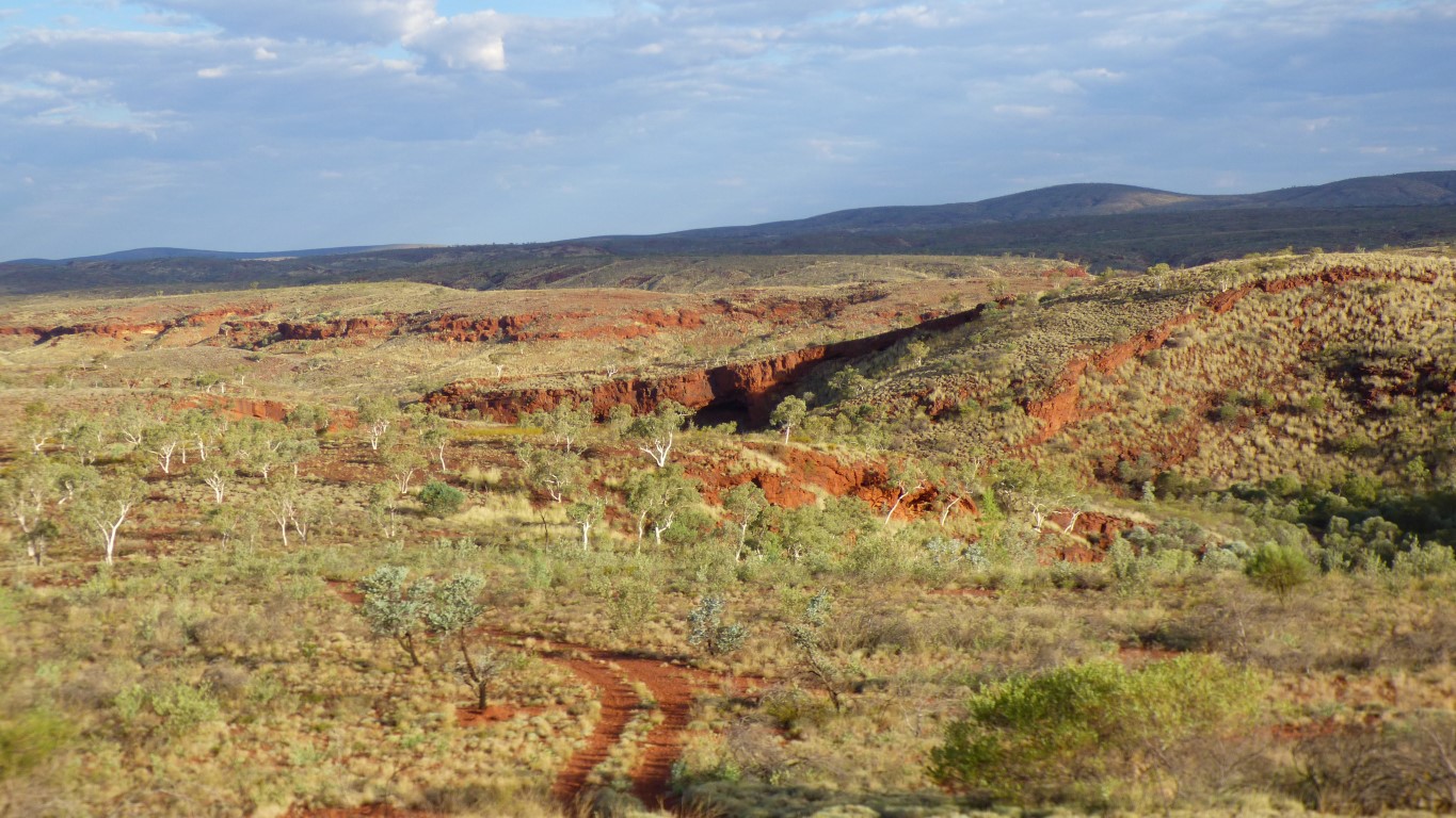
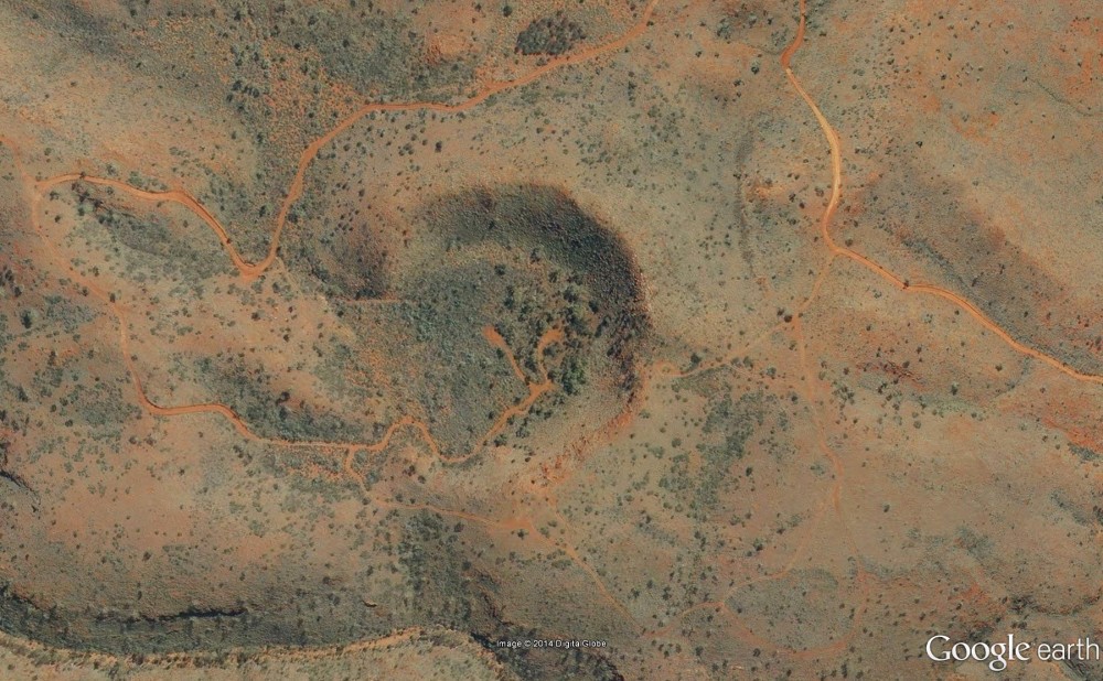
The track to Punda is on our maps. However, beyond that tracks to the crater aren't. Our maps also differ in which other tracks are shown. In theory, putting all the maps together, its possible to drive to Kalgan Pool across the mountains via Eagle Falls. To meet the track we walked up from the pool. Its only 16 km.
In our collection of maps the crater is shown on the Hema Regional Map of Pilbara, but none of the others (probably age)
But, there is a point at which we become cautious. Our aim is to visit the crater, the 4wd bit is the means to that end.
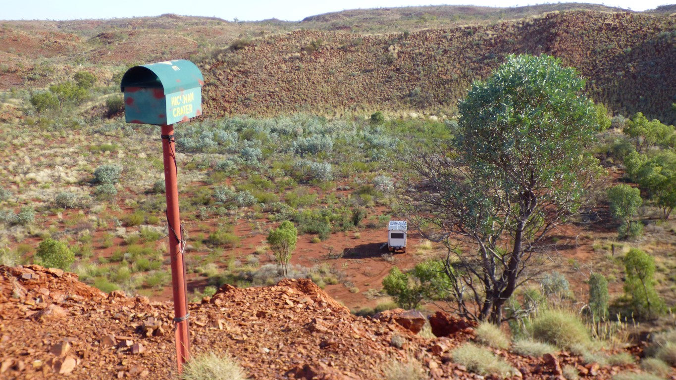
We are stood beside the letter box.
A tour operator's novel contribution to nature.
It helped as we knew the letter box was there, and saw it before we realised we were next to the crater.
The visitors' book suggests about one party a week. We are this week's.
Discovered in 2007 by Arthur Hickman while looking at satellite images. Looking for channel iron deposits for mining.
Confirmed as a meteorite (impact) crater around 2015 after some serious geological analysis and drilling.
The original floor of the crater is about 50m below the current floor.
The impact occurred more than 50,000 years ago.
We chose poorly.
In some places there are metre high bushes in the centre of the track.
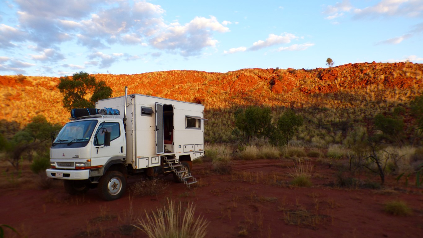
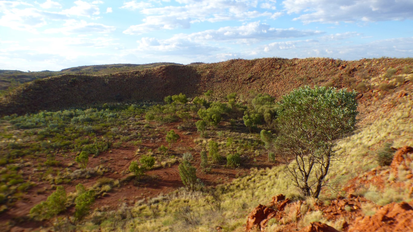
"Because we can". We don't know why, but spending the night in the middle of a meteorite crater had a strange attraction.
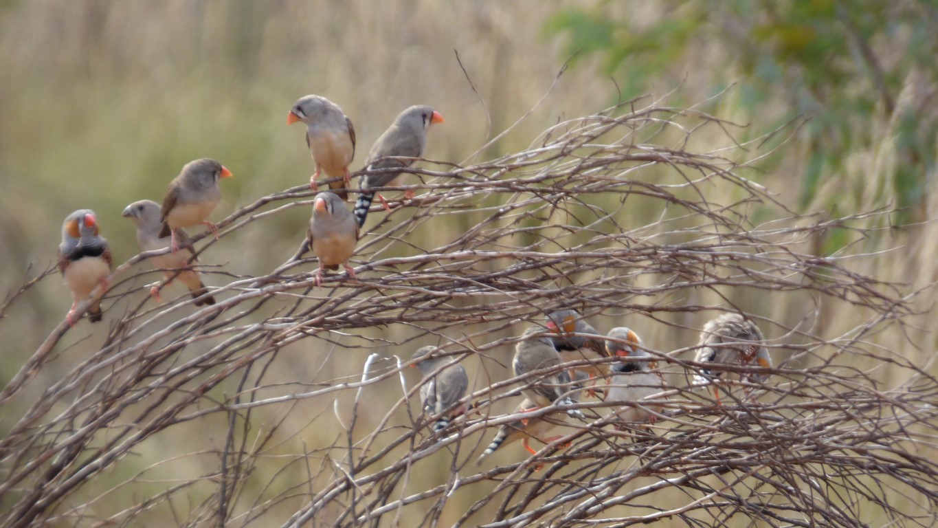
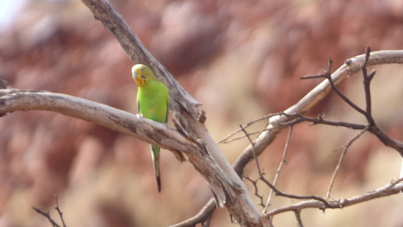
There's lots to see.
We'll start by climbing up the side to the letter box (its visible to the right of the tree on the rim). Lots of rocks, and lots of birds.
Walked back down the short vehicle track (clockwise round the crater).
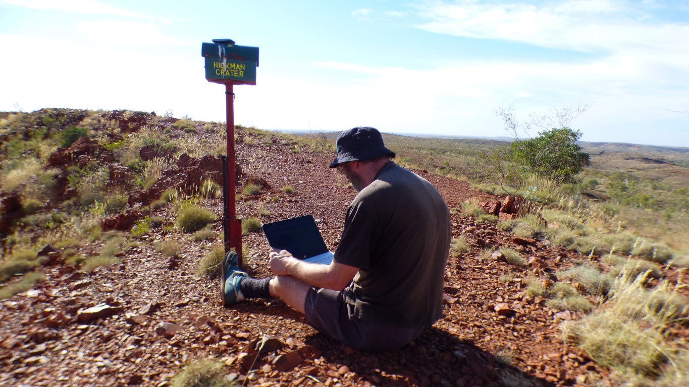
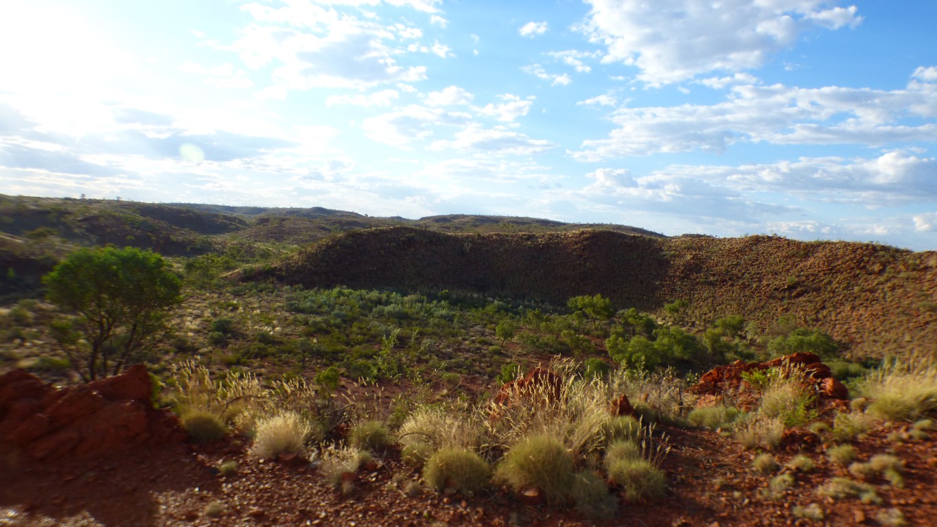
The letter box is at a high point in the surrounding country. A couple of bars of 4G. Newman is about 35 km south. More height, better signal.
There's a "tower" marked on maps, and visible, to the west. We wonder if the signal is coming from the tower. But yesterday we had to be nearly at Olympia Dam to get a very good signal, so we think Newman.
The letter box trick failed later during a phone call (voip). The wind blew the modem off the top. The backup plan was to put the modem under my hat. The extra height yielded an extra bar!
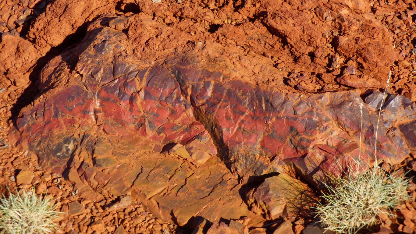
Ali spotted it while I was pressing keys. Subsequent internetting suggests it is what we think it is.
It provides evidence of heating, which was part of confirming the site really is an impact crater. We didn't see the fracturing that has been described as present.
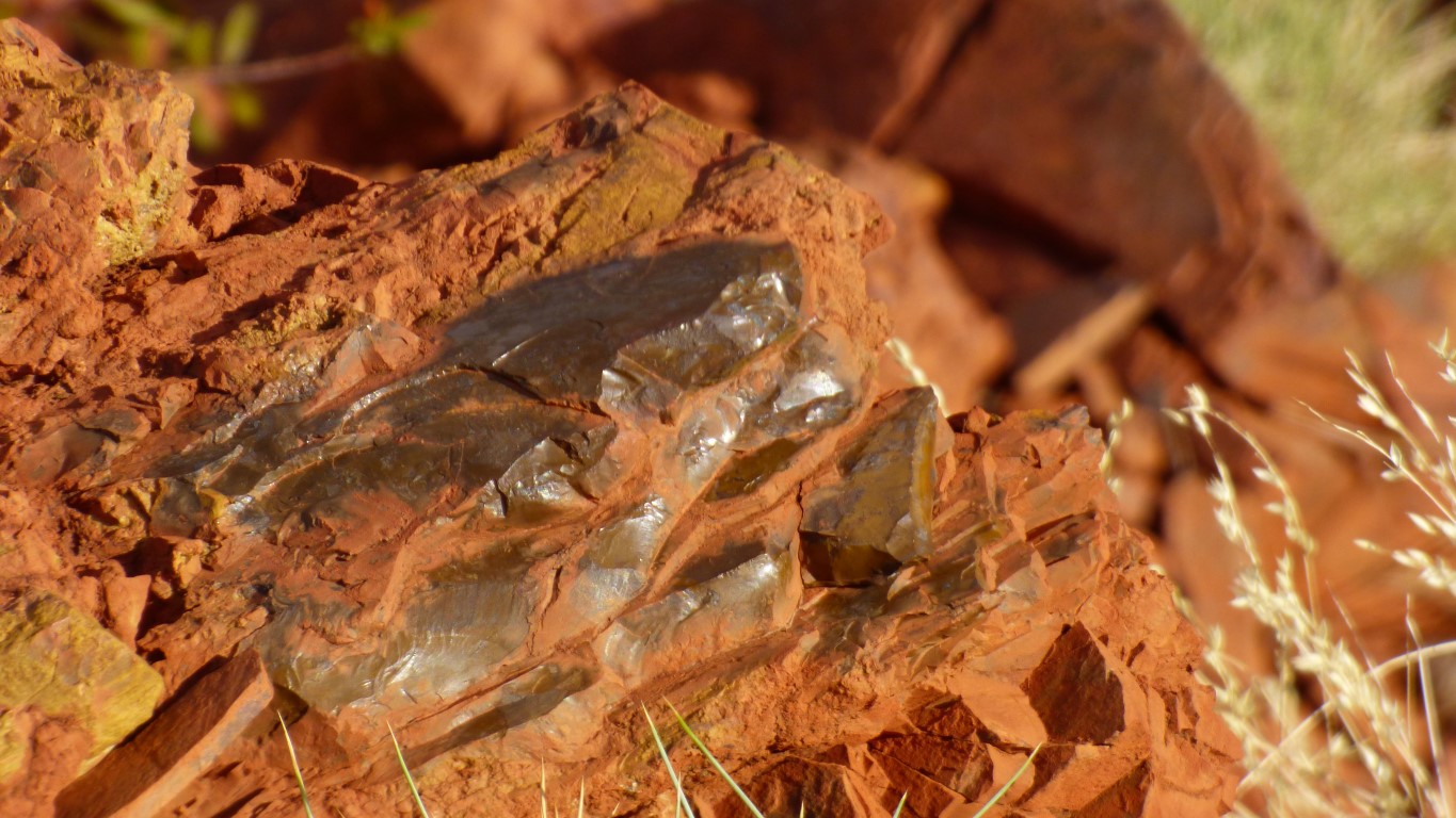
But not exactly "black".
Keep looking?

Counter intuitively (to me) the meteorite arrived from the north east, from the right of the pic, from over my right shoulder.
We'll have a look to the south west later.
Further to the west, beyond our walking range, is Opthalmia Mine. Just a dot on a map, with no tracks shown. But just guessing that there are tracks and they all join up, at least at some time in the past.
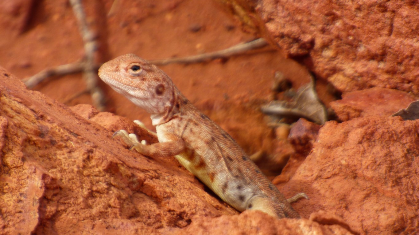
Spotted a kangaroo (or big wallaby) but not quick enough with the camera. Its surprising how easily birds and animals hide. The crater floor is only a couple of hundred meters across.
When we think about it, this is Australia, we've driven more than 5,000 km over a month, and that is the first kangaroo we've seen. The same goes for the dingo we saw yesterday. A very big country hiding lots of things.
I really am a geological dunce. I probably didn't walk far enough to find the stuff that was ejected from the crater.
Perhaps its the thought of being somewhere where something from another planet hit Earth thats sparked our imaginations.